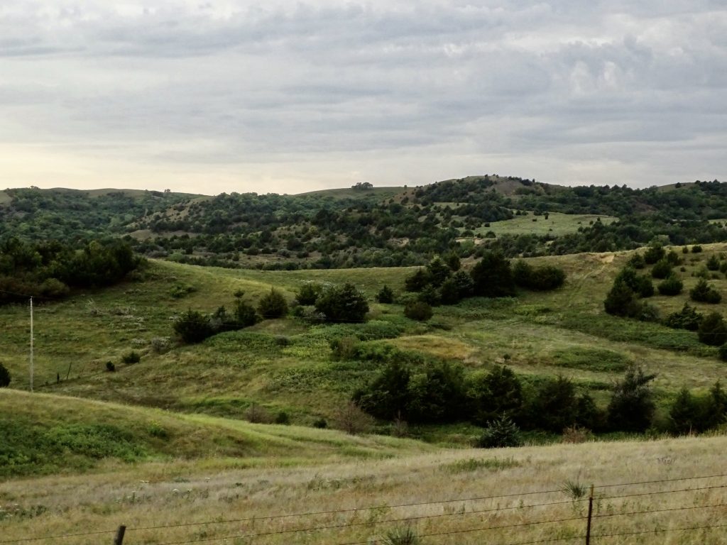
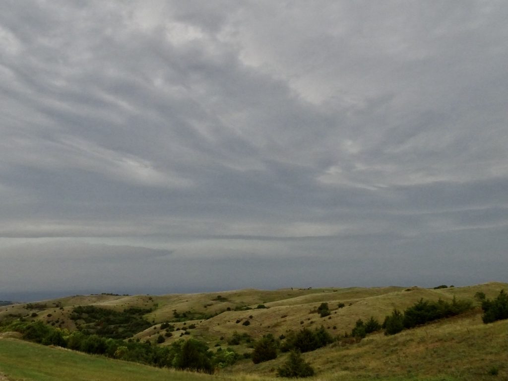
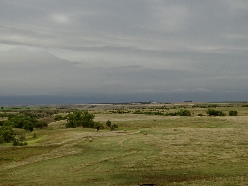
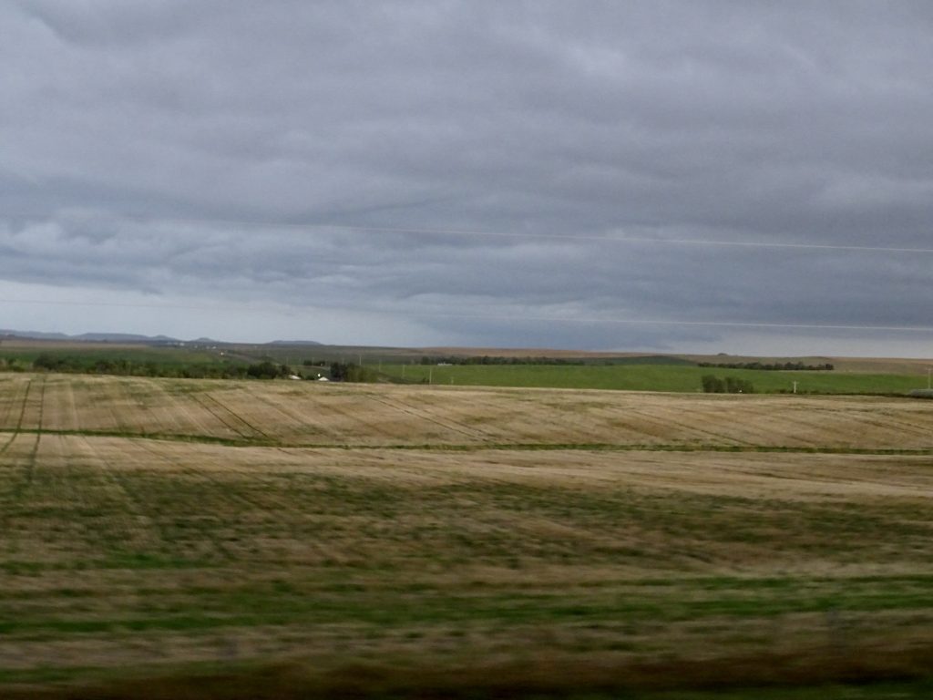
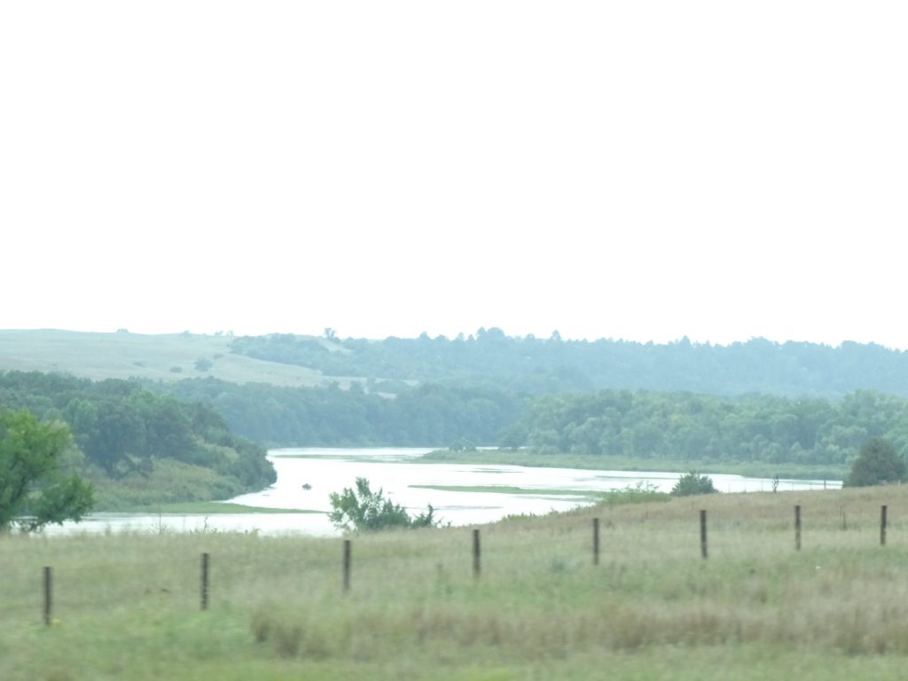
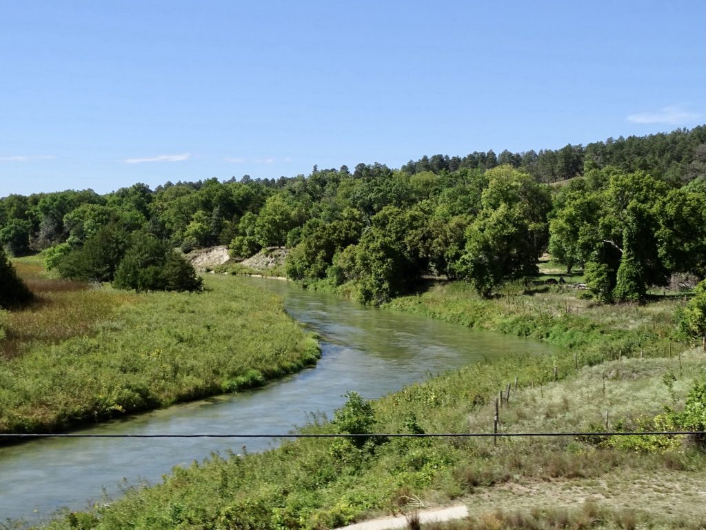
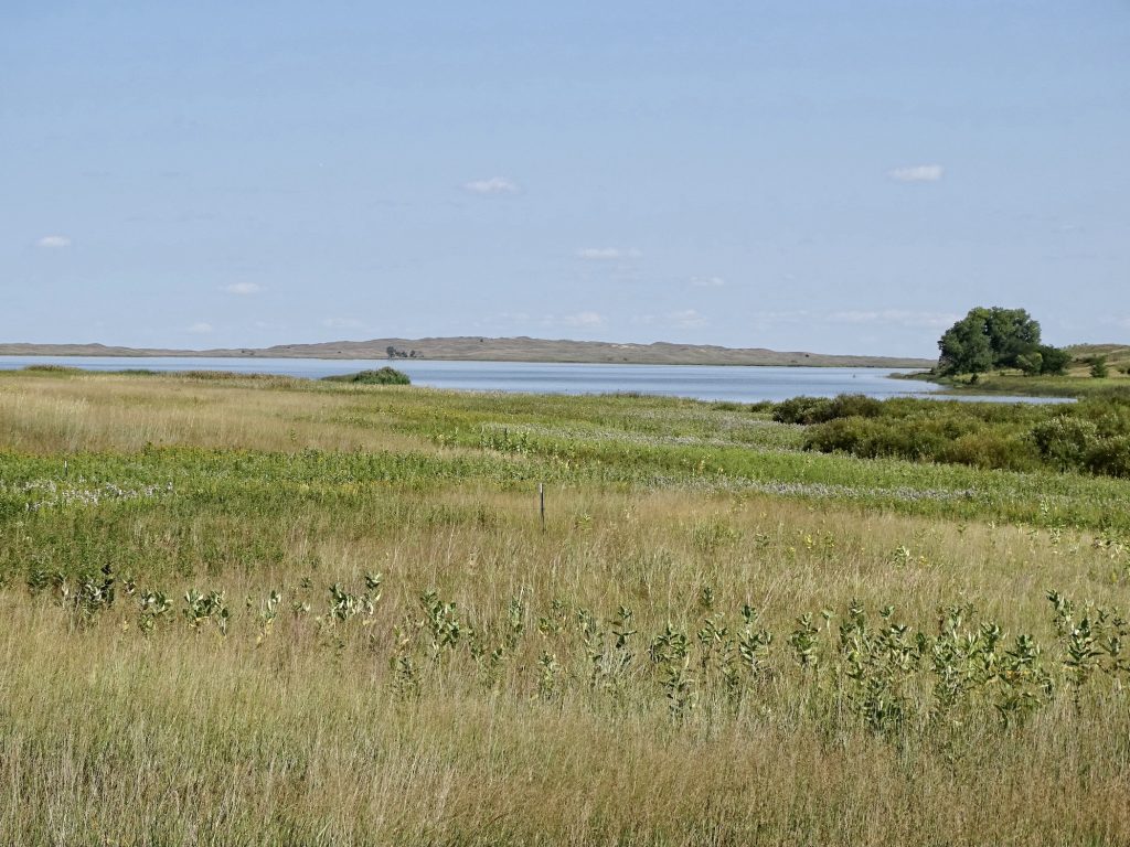
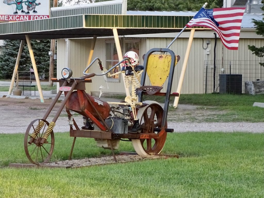
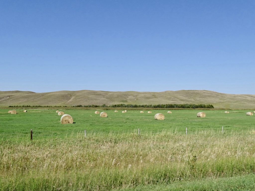
Monday, September 13, dawned with overcast skies and menacing darkness in the distance. We didn’t have far to go, so we waited until a little later to head out, finally getting on the road about 9:30 AM. We pointed Brutus west on SD-44 and south on SD-49 to US-183 south, hitting a little rain along the way. Thankfully, we passed through a gap between the bad cells, so avoided the worst of it. After crossing into Nebraska, we turned west on NE-12 over to Valentine. For lunch we stopped at Peppermill Restaurant, where we both went for the Pub Club Salad with chicken (delicious and way too much). The next stop was the hardware store so Mr. Wonderful (MW) could pick up a few things.

Heading Out 
Not Looking Good

Don’t Want to Go Through That! 
Last Look at South Dakota

Niobrara River in the Rain 
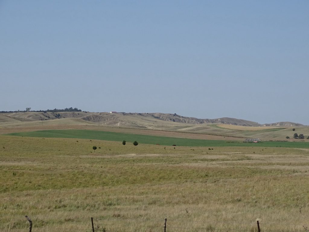
Clear Skies Over the Niobrara South of Nenzel
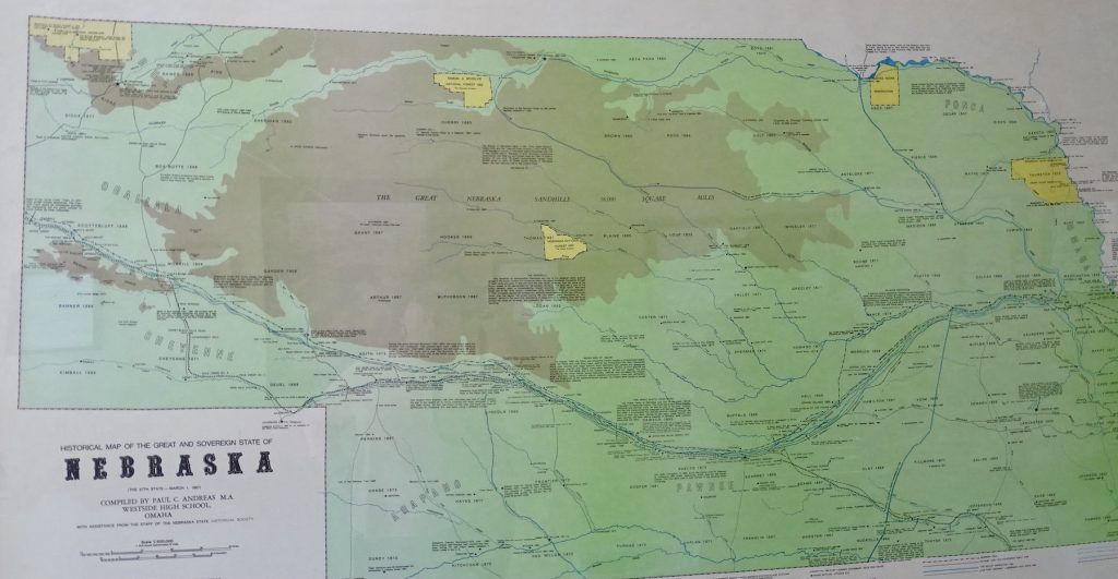
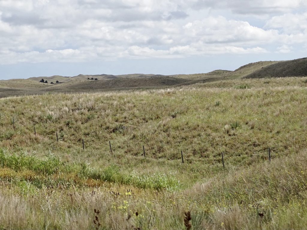
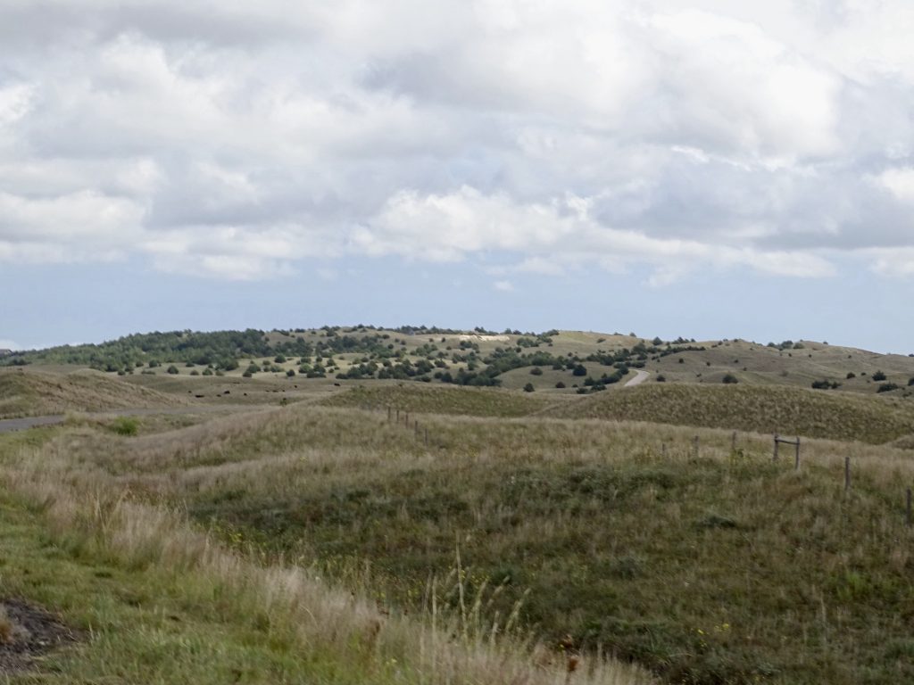
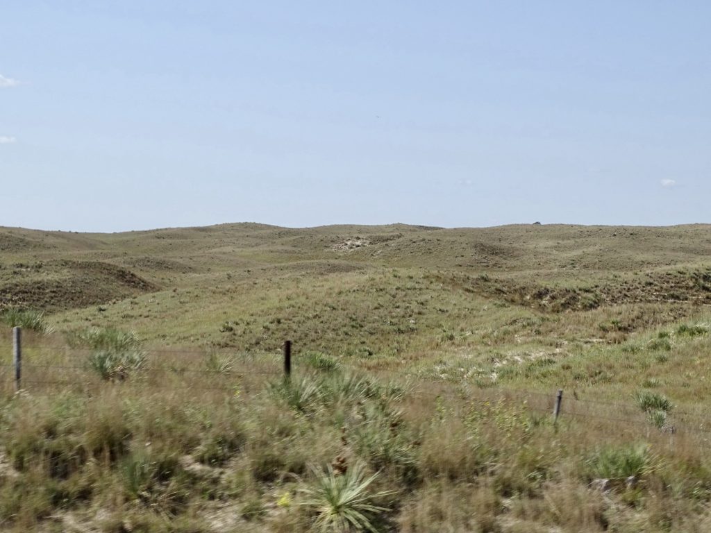
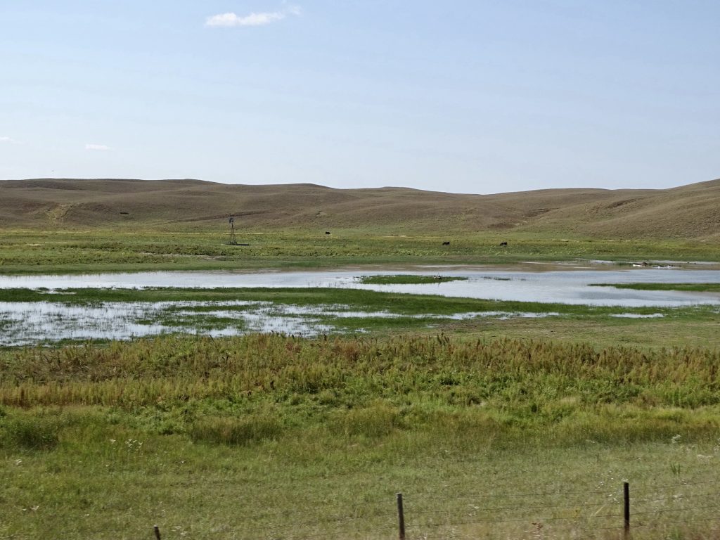
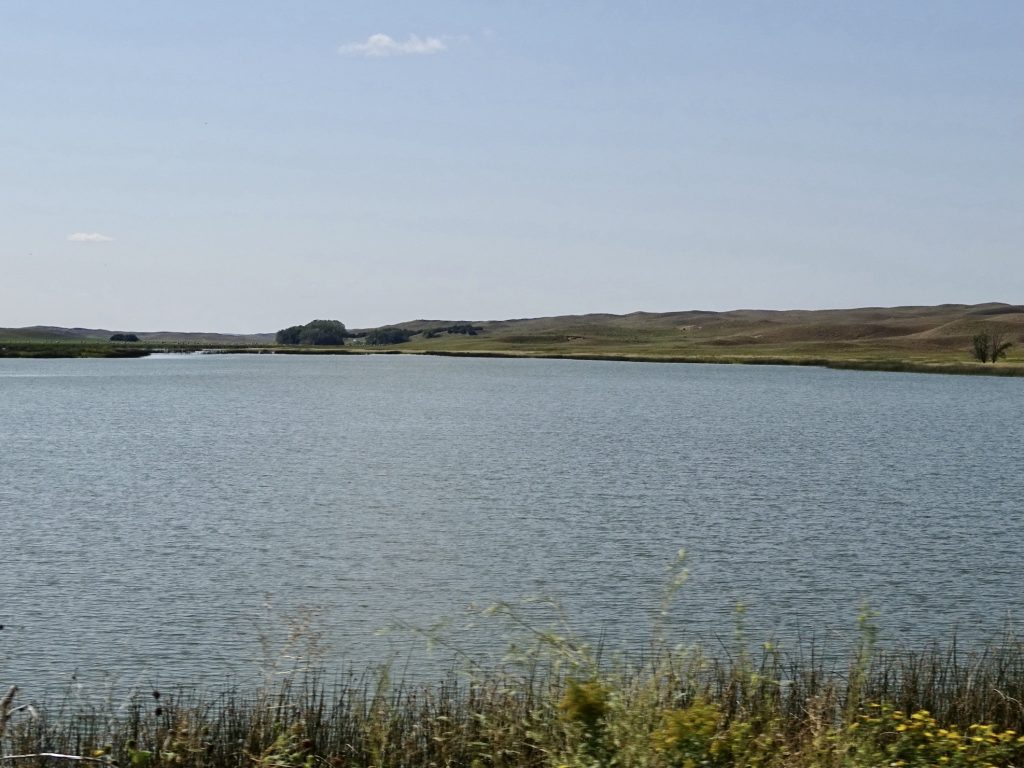
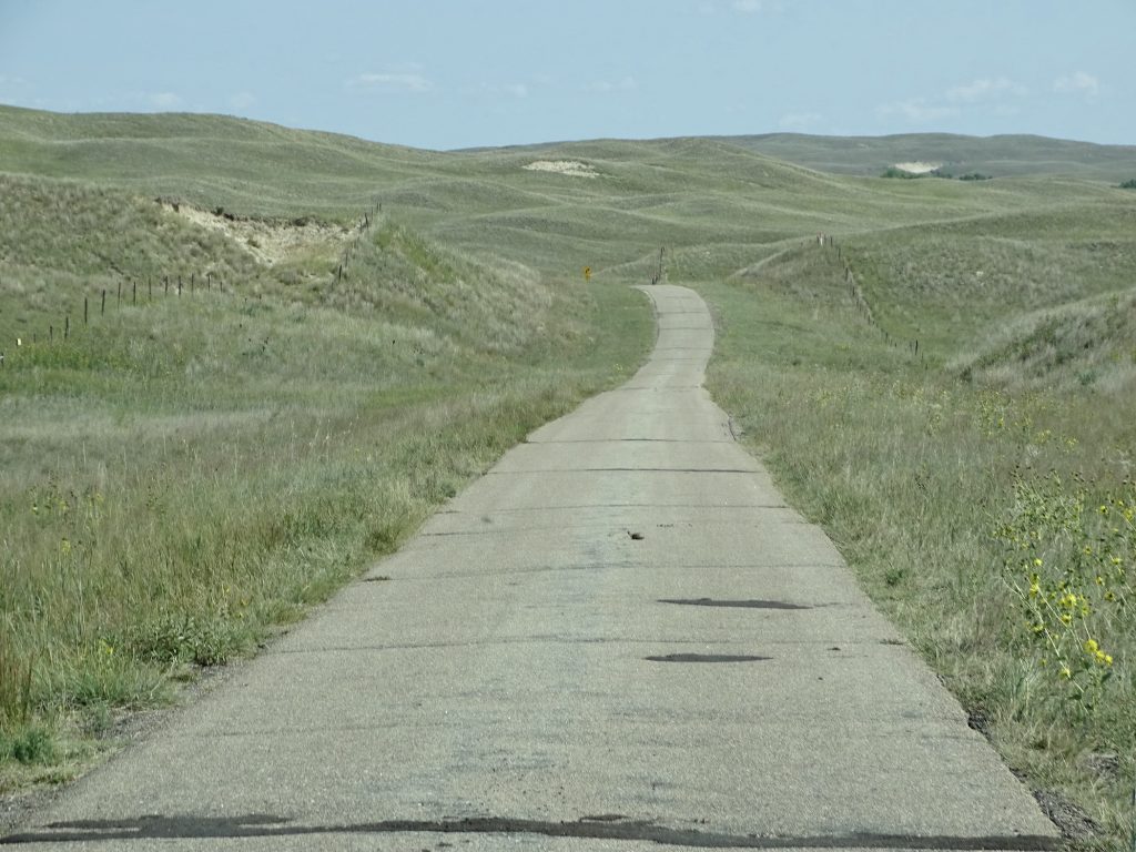
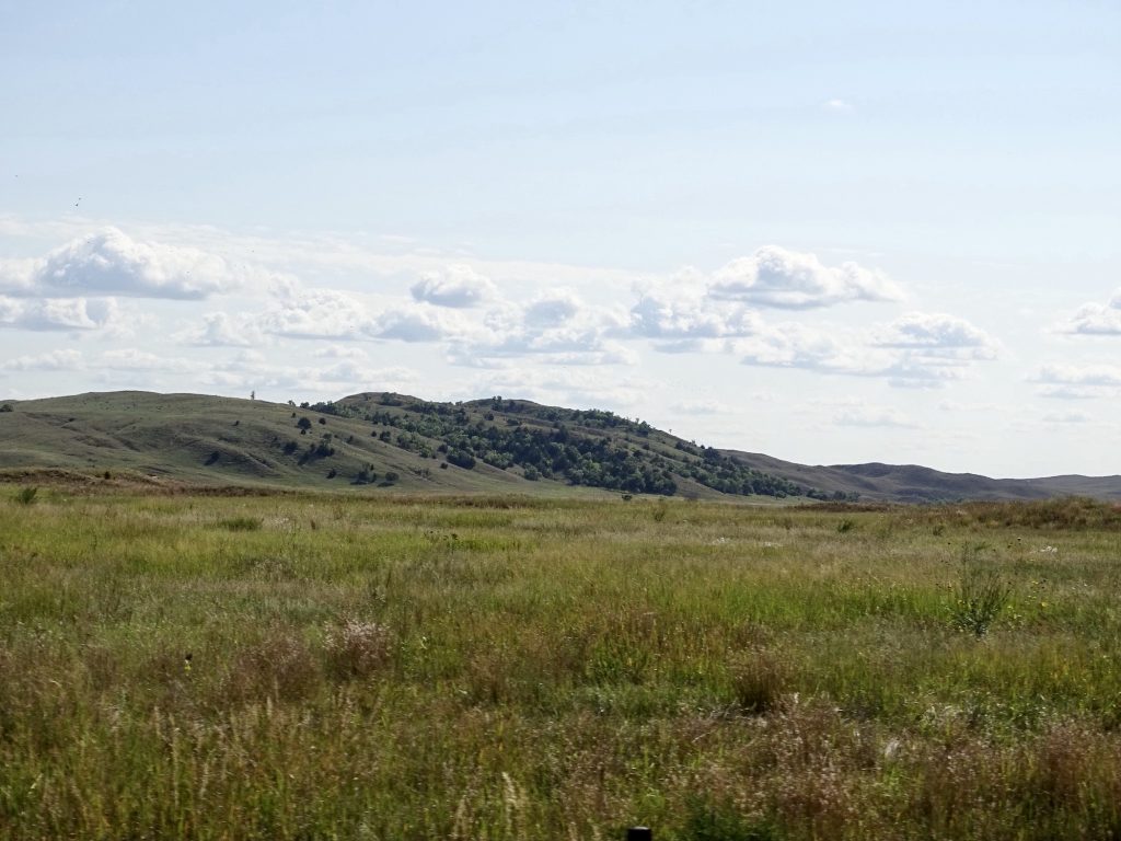
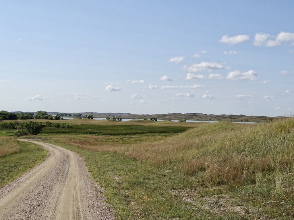
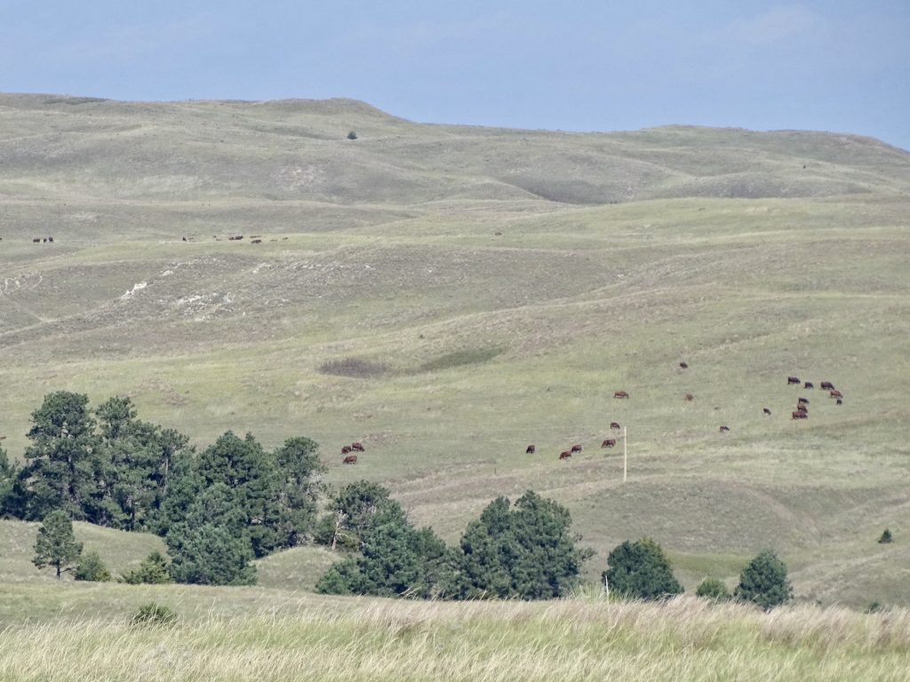
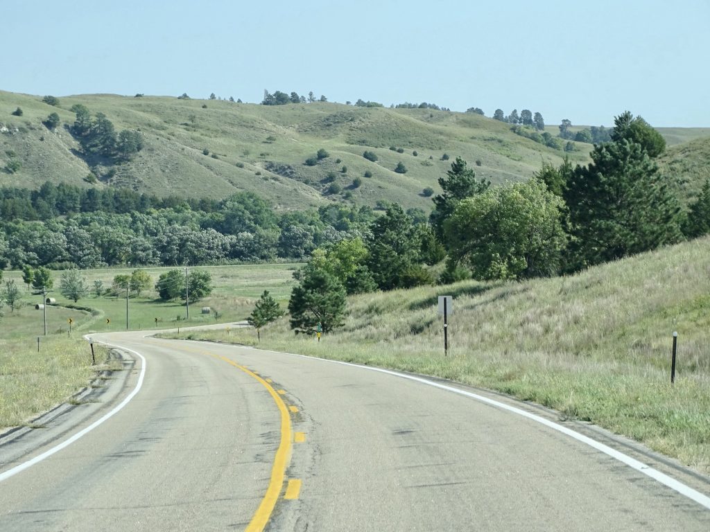
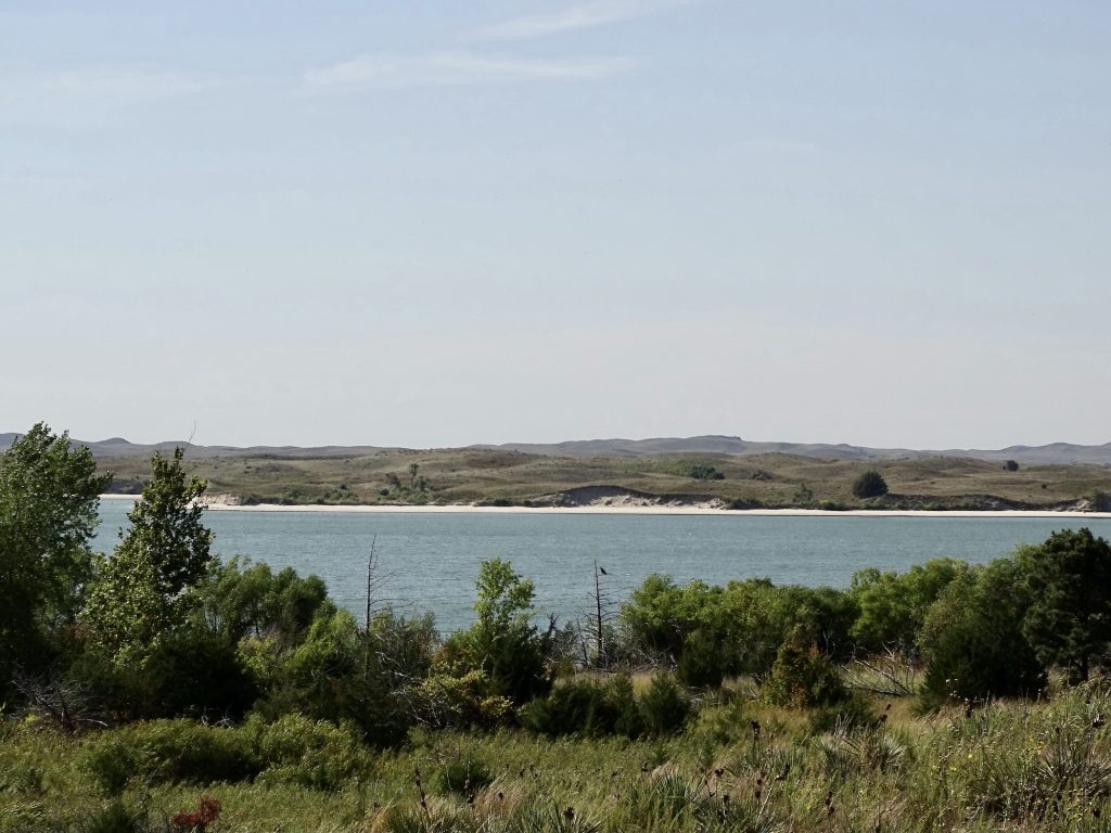
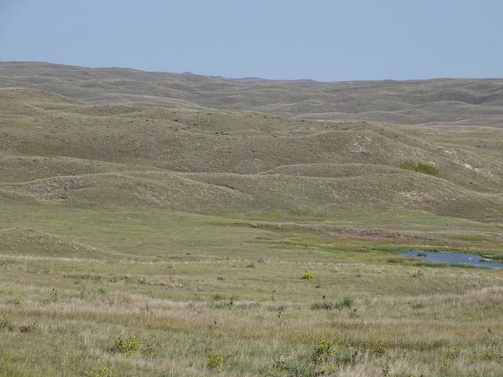
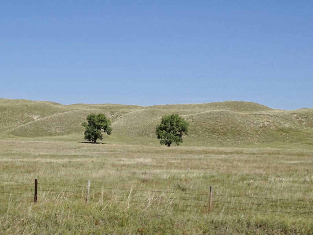
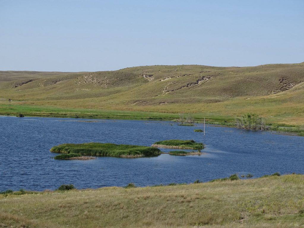
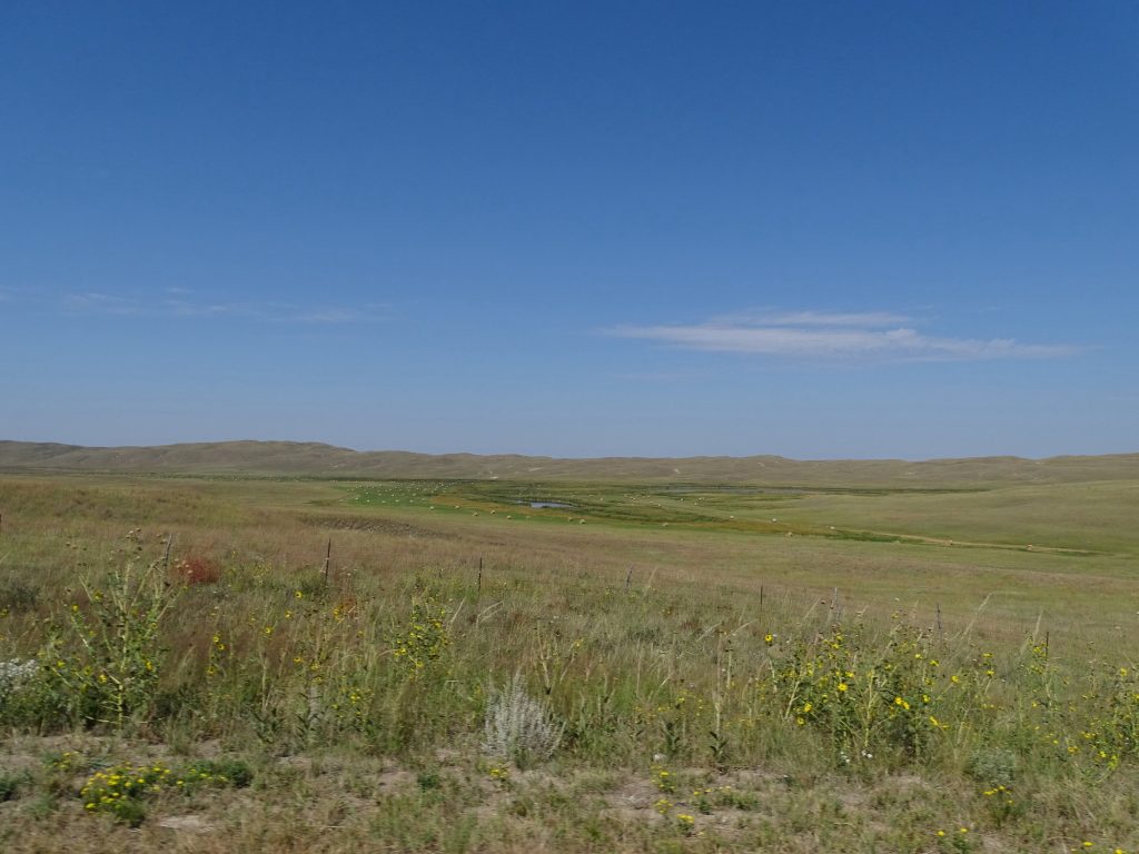
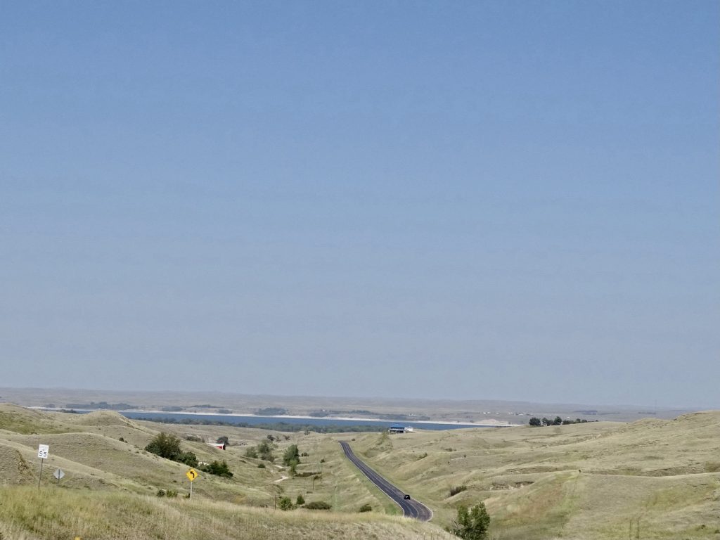
Back on the road, we took the long way out to the reservoir, heading west on US-20, then south on NE-S16F through the Samuel R. McKelvie National Forest. You’d think that driving through a forest means being surrounded by trees. Not the case here. Although there are smatterings of shorter trees on some hillsides and even fewer of the tall varieties, McKelvie is, for the most part, treeless. We have entered the Nebraska Sandhills, an area of a little more than 19,000 square miles that stretches out for over 250 miles across Nebraska. Think beach dunes on steroids. The largest sand dune formations on this side of the world, these steep hills can reach 400′ tall and 20 miles long. They are stabilized by grasses and other vegetation. Arid in terms of rainfall, there are many spring-fed ponds and lakes in the valleys, which create a contradiction with dry, prairie grasses and bog-type vegetation side-by-side.

Map from Ash Hollow Showing Extent of Sand Hills
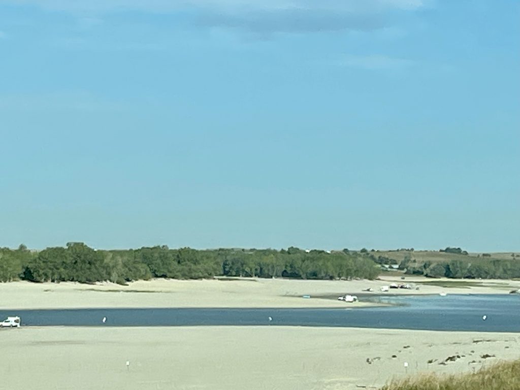
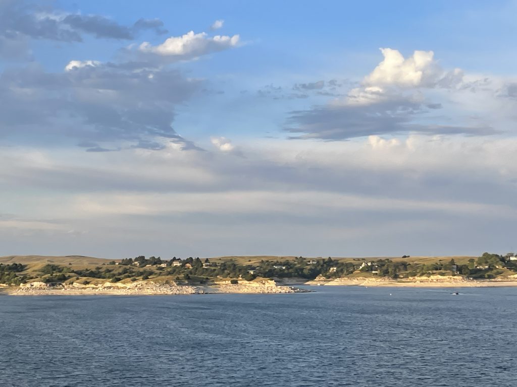
We saw quite a few hunters out, so I looked up seasons in Nebraska. We think they were after grouse. Well, it could have also been squirrels. Yes, they are “in season”, but seriously, few trees. We didn’t see any grouse during the drive. I guess they know it’s hunting season! We did see quite a few hawks and several deer along the way, though, and MW caught sight of another fox. We made it to our destination, the Cedar Bay campground in the Merritt Reservoir State Recreation Area, by early afternoon. We reserved our site online, but needed to purchase a Nebraska annual park permit. Unfortunately, the self-checkin kiosk had absolutely no information about anything but day passes. You can buy them online, but then they mail them to you, and the receipt you print is only good for a short period of time. That wouldn’t work for us. We went ahead and got Petunia set up, then I headed out to figure it out. This park set-up is really confusing. It is divided into small sections all around the reservoir. Some are campgrounds, and some are day use. The section marked “main area” has nothing but a boat ramp and parking lot, and the park office has a sign at the driveway saying they don’t sell passes. I asked one of the campers sitting outside, who suggested the convenience store back up the road. Yep, that worked. Not sure how folks are supposed to know it, though. Problem solved, we enjoyed a relaxing evening with nice weather.

In the Samuel R. McKelvie National Forest 
The Sandhills Really Go On Forever!

Just Beautiful 
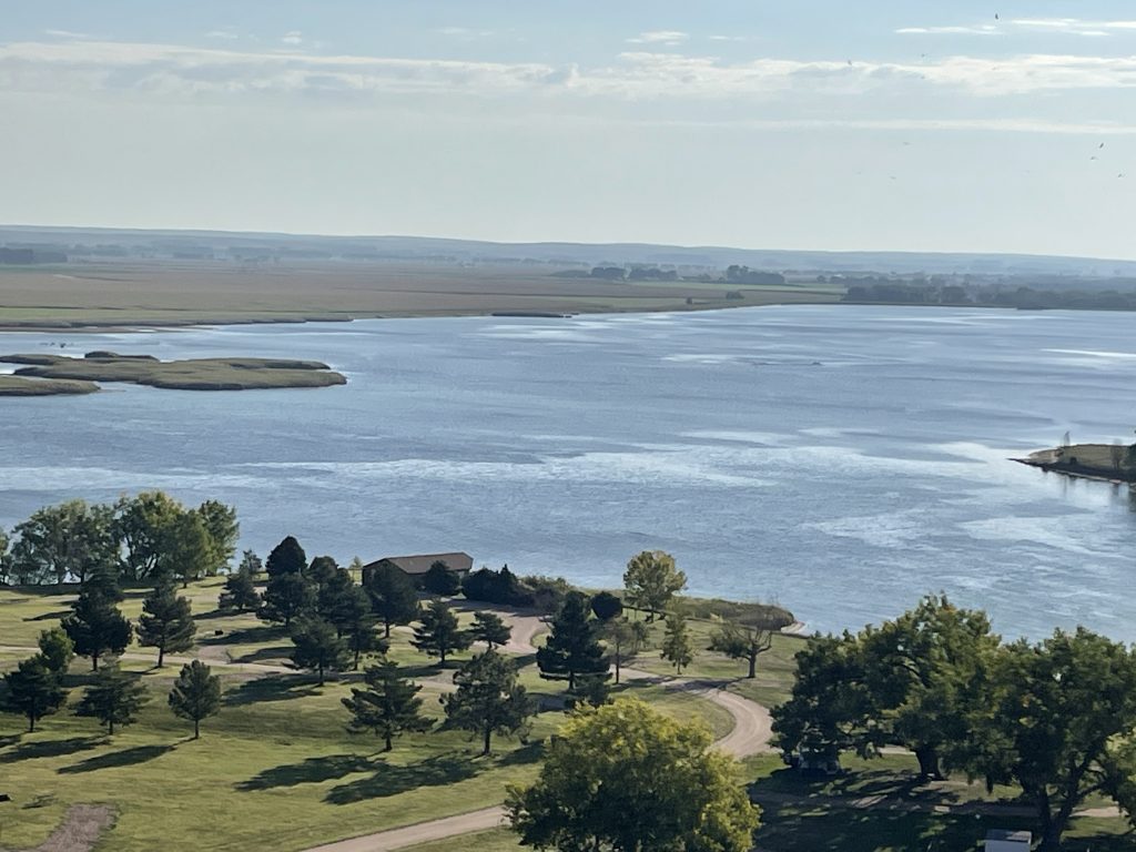
Merritt Reservoir
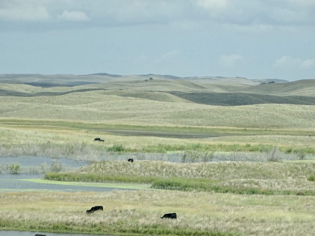
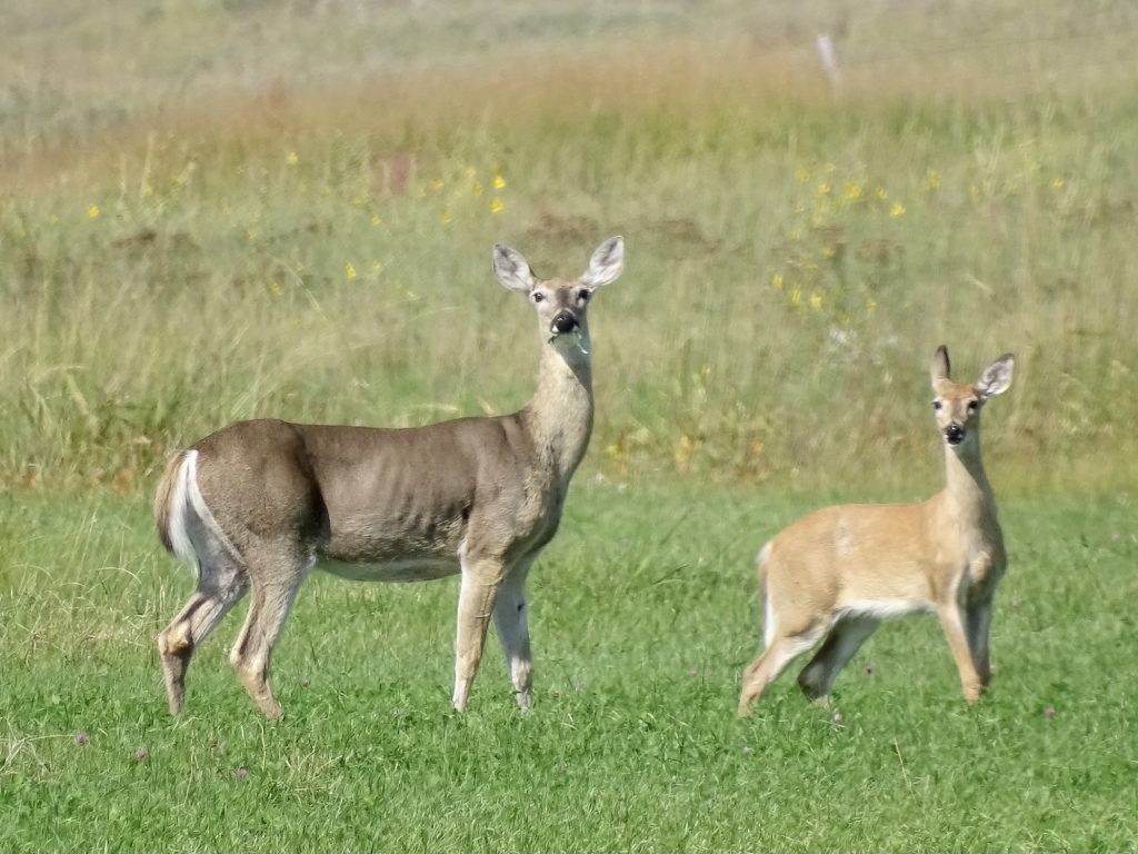
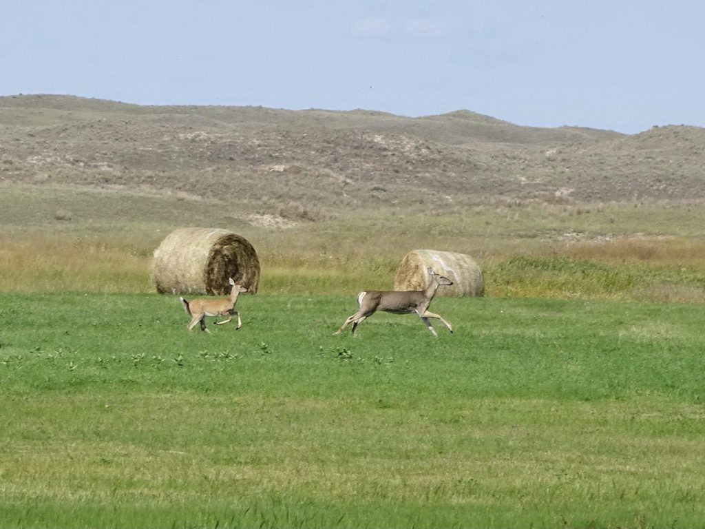
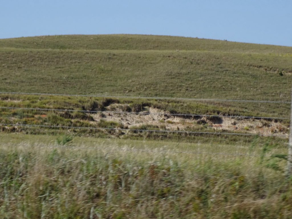
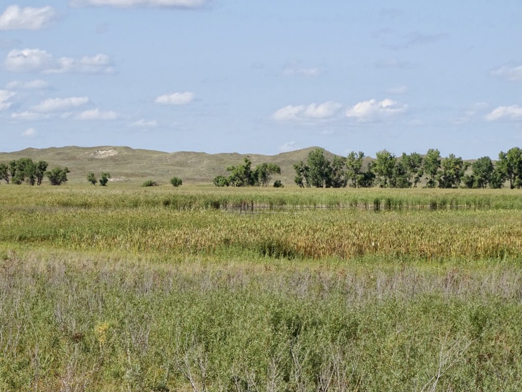
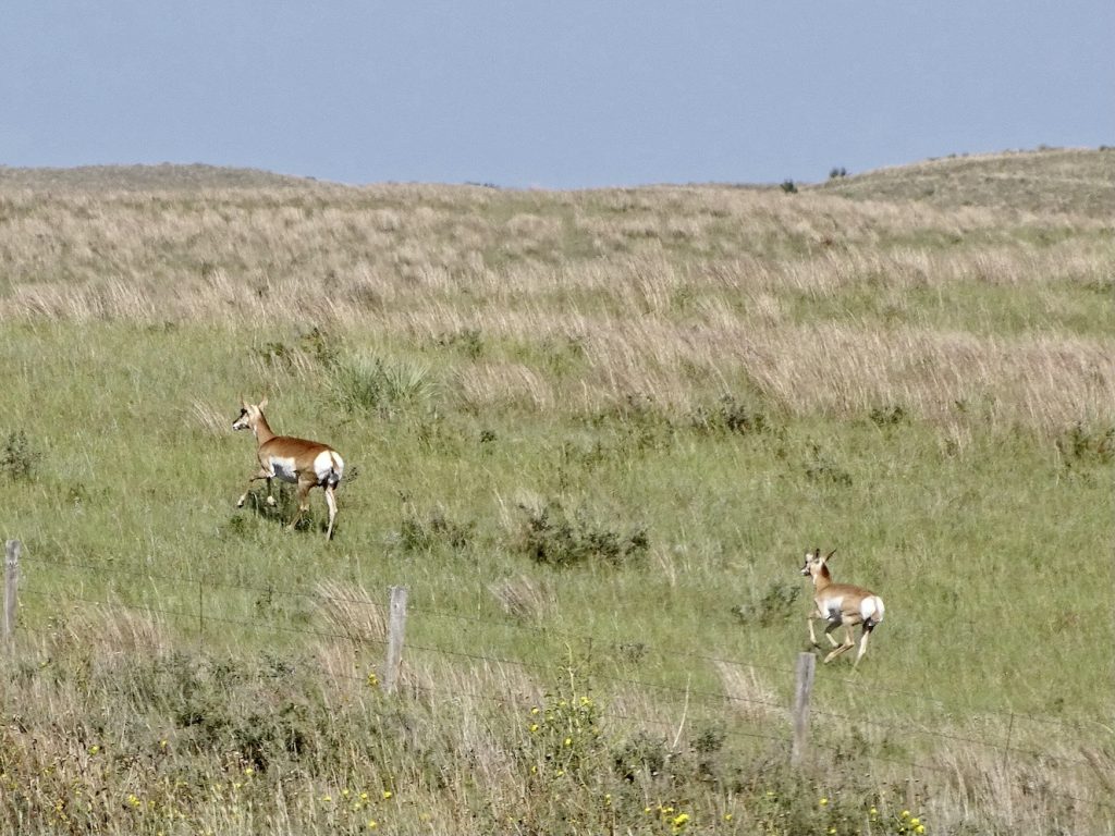
On Tuesday we hung around until after lunch while I got a little work done. It was a gorgeous day, but mosquitos precluded sitting outside. (One of the little buggars made it into Petunia and ate me alive for two nights in a row!) Early afternoon we headed out, first south on NE-97, then left on Brownlee Road to get over to US-83 north and the Valentine National Wildlife Refuge. Mostly rich grasslands, the Sandhills of Nebraska were once home to vast herds of bison. Today part of the conservation efforts include allowing local ranchers to graze cattle on the wildlife reserve. It helps compact the sand, which in turn promotes the growth of prairie grass. There are places where the grasses have sloughed off or been worn away called blowouts. Left alone, the grasses will slowly fill them in again and stop any erosion. Nature is pretty cool that way. We took the Little Hay Road Wildlife Drive, which is a dirt road winding through the lake area of the reserve. Although we didn’t see them, the refuge is home to a large population of Blanding’s turtle and a nesting area for trumpeter swans. Wildlife was scarce in the middle of the afternoon, but we did see a few deer. We also saw another hunter in the refuge using what looked like a drone. I call foul on that! Unfair advantage!

Dunes Everywhere 
Plus Marsh Grasses

Alkali Pond

Notice the Little Guy
One Ear Listening to Mom
They Saw Us…RUN!

Blowout That is Filling In

Seems to Go On Forever 
There Are Some Trees

Desert-Like on the Far Hills – North Marsh Lake

Little Hay Road 
Beautiful Marsh
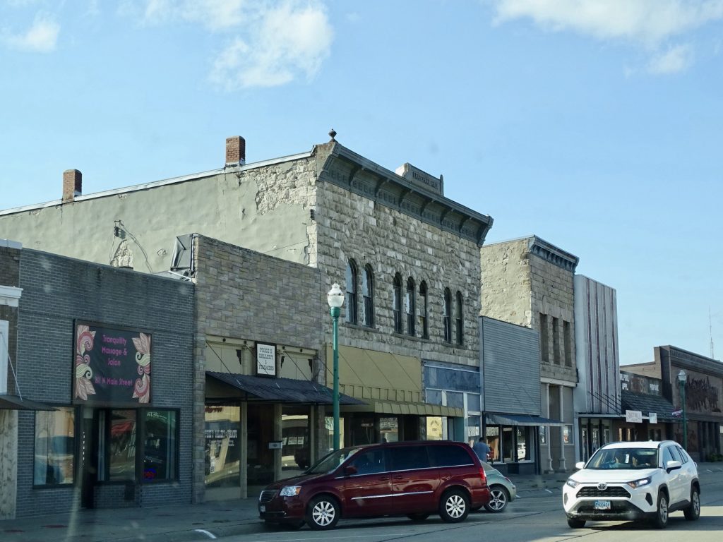
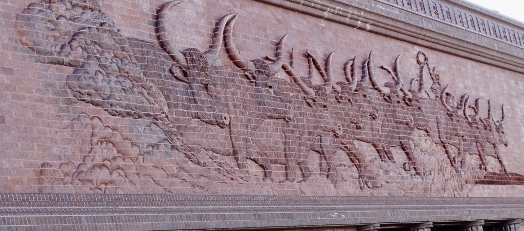
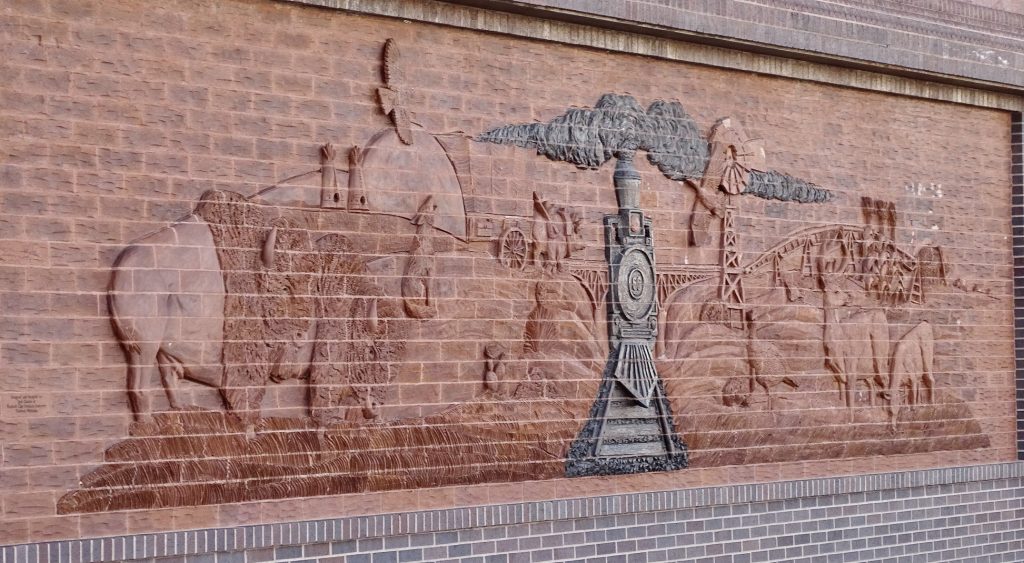
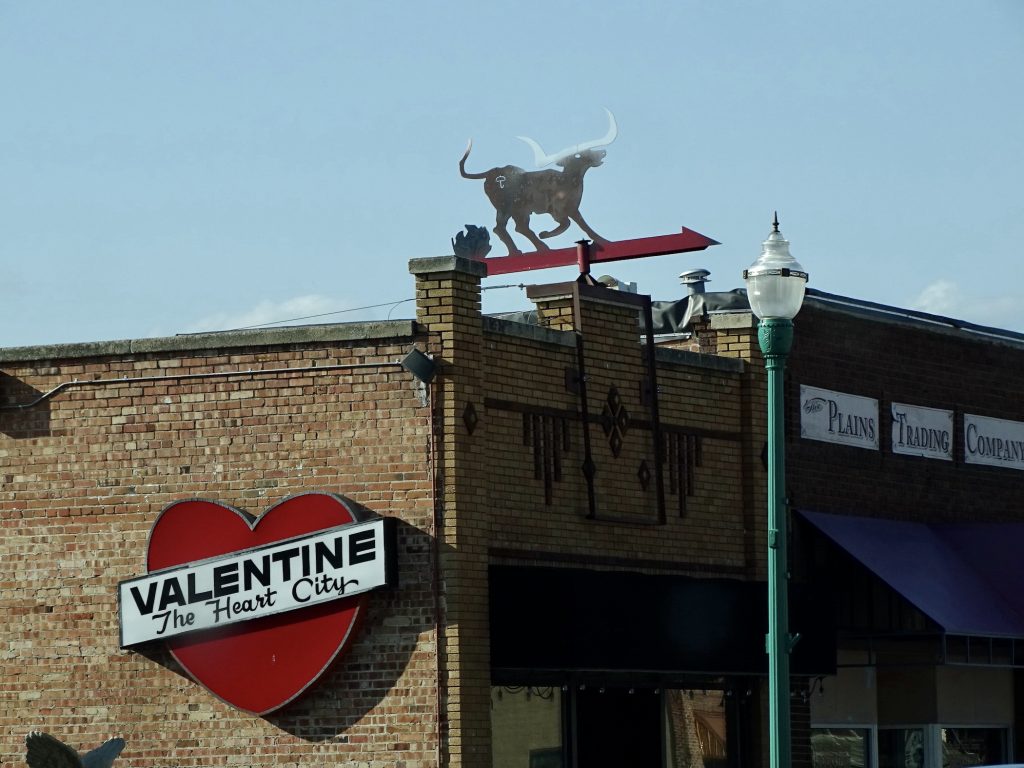
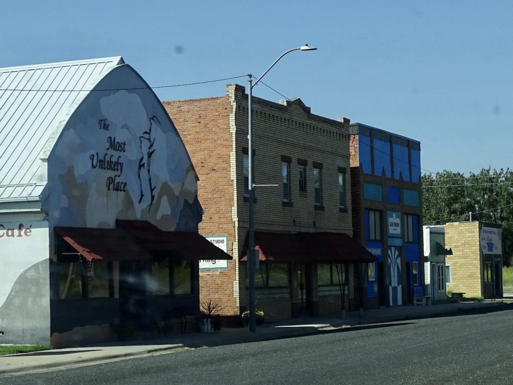
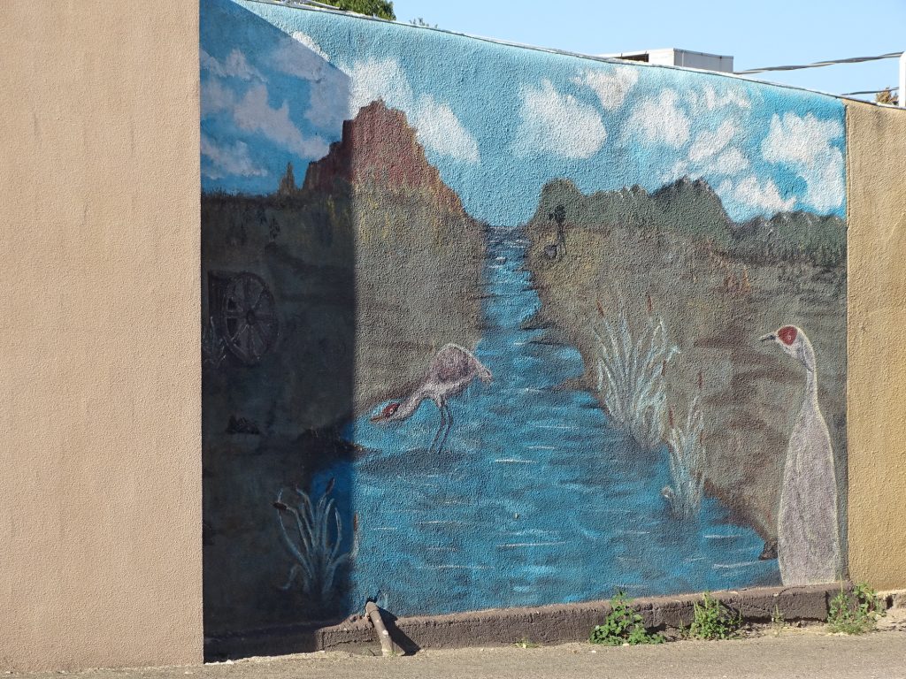
The end of the dirt road put us back out on US-83, where we continued north to Valentine. The first stop was the post office. Then we went to check out the downtown area and some cool murals on the old bank building.

Downtown… 
…Valentine, Nebraska

Okay, That’s Pretty Darned Cool

This One, Too!


Heading West Out of Town
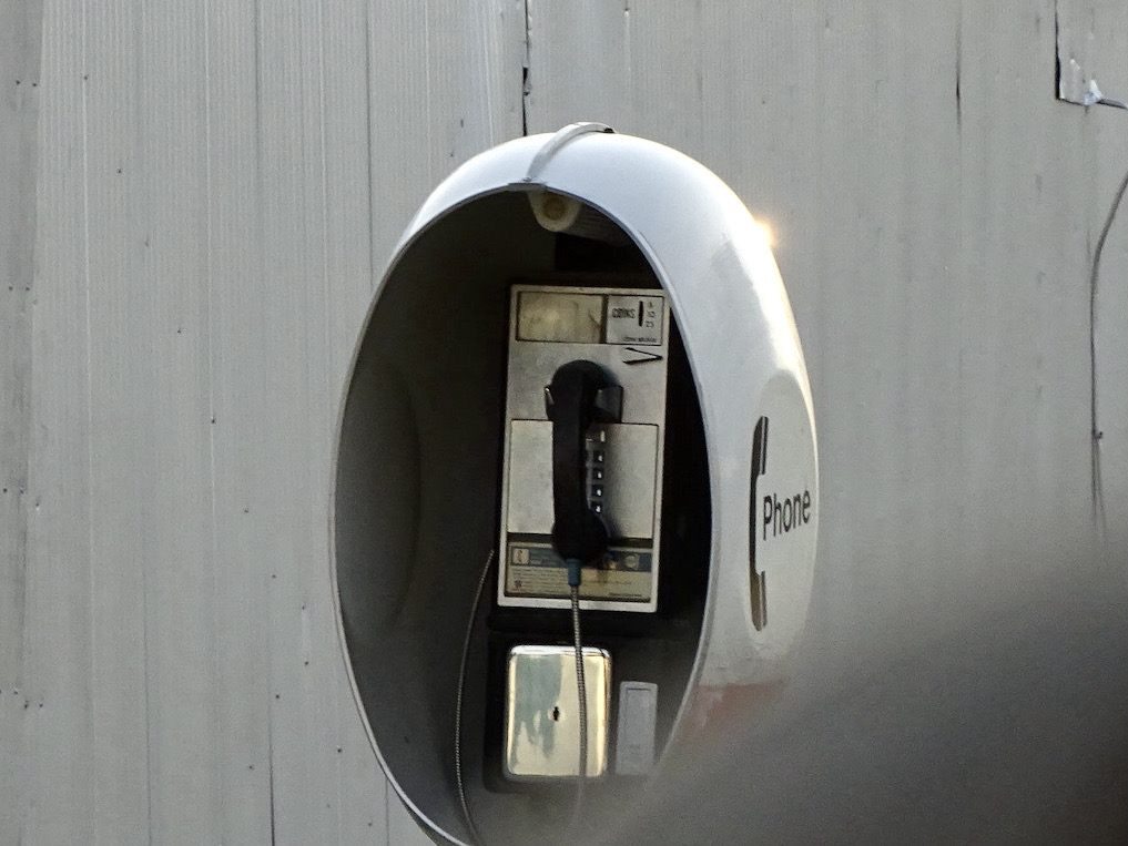
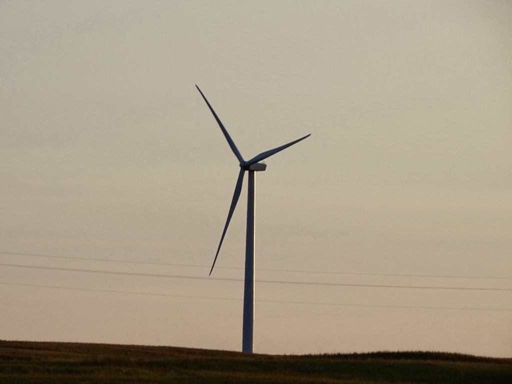
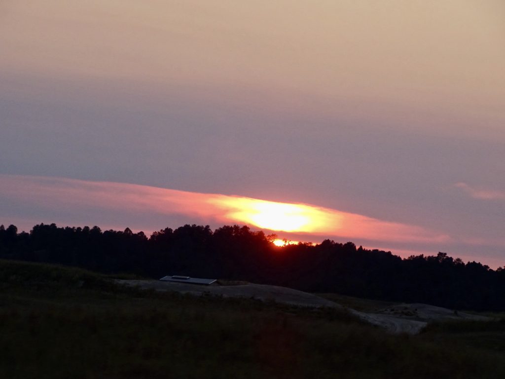
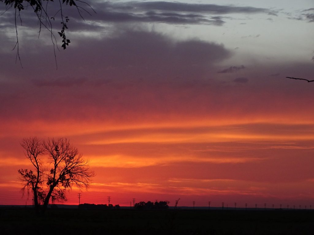
Next was supper. In his research, MW found a place in the middle of nowhere whose slogan was “Discover a new level of taste.” Who doesn’t want that?! About 23 miles west of Valentine in the tiny (no kidding, population less than 100) village of Kilgore, we found the Bordertown Steakhouse and Saloon. Turning off of the main road, we were met with dirt roads and an old, ghost-town feel. Honestly, we thought the gps gave us the run around, which she occasionally does for giggles. We did as told and turned left, and there it was…a pretty large restaurant, saloon, sports bar, pool hall, liquor store combo. Surprise! We both had the ribeye, which was HUGE. (I brought 3/4 of mine home, and even MW brought half.) Everything was delicious, AND we got to watch bull riding on TV while we ate. Bonus! On our way out we noticed something on the corner that you NEVER see anymore…a phone booth WITH A PHONE IN IT! I took a pic for those who have no idea what I’m talking about. Another interesting thing was…ONE wind turbine. There is apparently a battle going on about turbines, and we passed multiple signs saying “Save the Sandhills. No Wind Turbines!” We were surprised to see one, and also curious as to what it is powering and who put it there. Those things run about $500k each! You can bet his/her neighbors are not happy about it! As we were approaching the park, we were treated to a beautiful sunset. Several more people had arrived while we were gone, which was surprising. This was the middle of the week! Certainly not typical, but maybe they are being drawn by the warm weather.

Cell Phone of My Youth – Doesn’t Fit in Pocket
You Feed It Money to Make It Work
Lonely Turbine

Beautiful Sunset
Wednesday found me back on my regular laundry schedule. I headed to the Loads of Fun Laundromat in Valentine where I was able to knock it out pretty quickly. You can tell we are in the Sandhills, because there is sand everywhere…grating on the floors, in hinges, etc. It reminded me of being in Brunswick, Georgia, as a kid. It was very windy as I unloaded, and it felt like being pelted with salt. Glad I remembered the sunglasses! The last thing I need is sand starting up the corneal tears again! Next I headed over to Old Mill Bulk Foods to get a deli sandwich and get a little work done. This place was pretty neat. A bakery with some jewelry and artwork for sale on one end, a deli and pizza counter in the middle, and bulk breads and other groceries on the far end. Their version of an Italian was different…it had roast beef, bell pepper, and a sauce that almost tasted yogurt-based in addition to the normal stuff. It was good, but I think I prefer a more tangy pepper. I promised MW pizza, so I ordered some to go when I finished working, then headed back to the park. While I was out, MW worked on a few repairs. I spent the afternoon with a little more work, followed by a movie.

It’s Hard to Describe the Distance 
Beautiful…And a Few Trees!

They’re Fine as Long as You Don’t Stop 
Merritt Reservoir
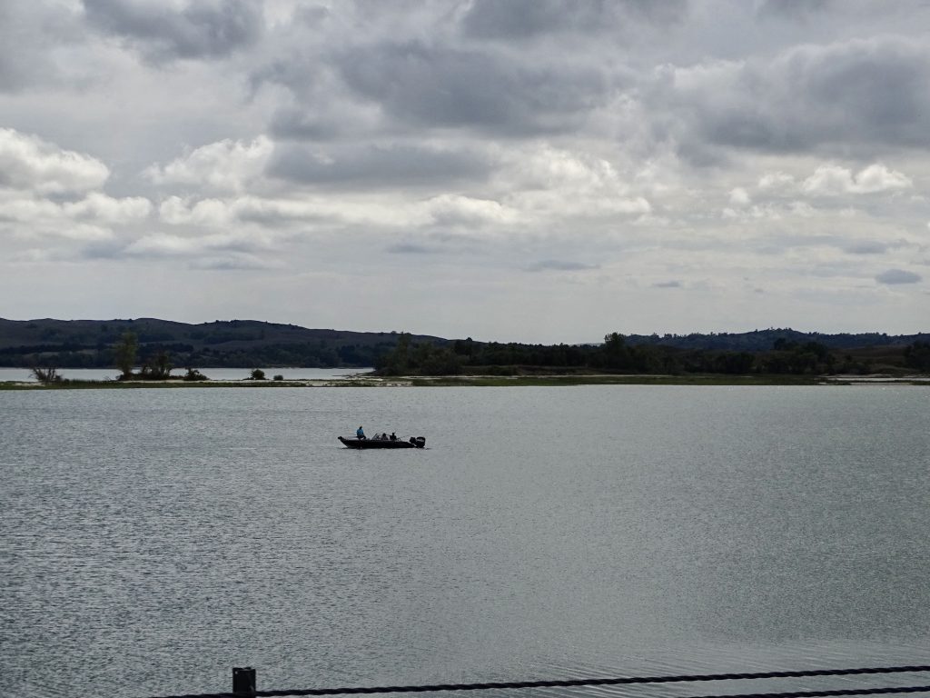
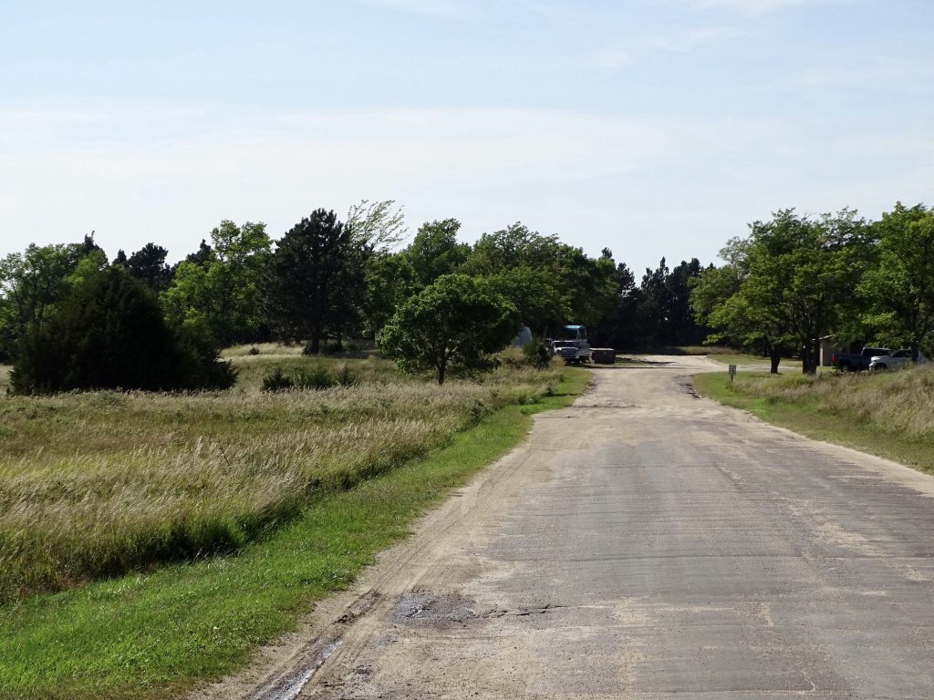
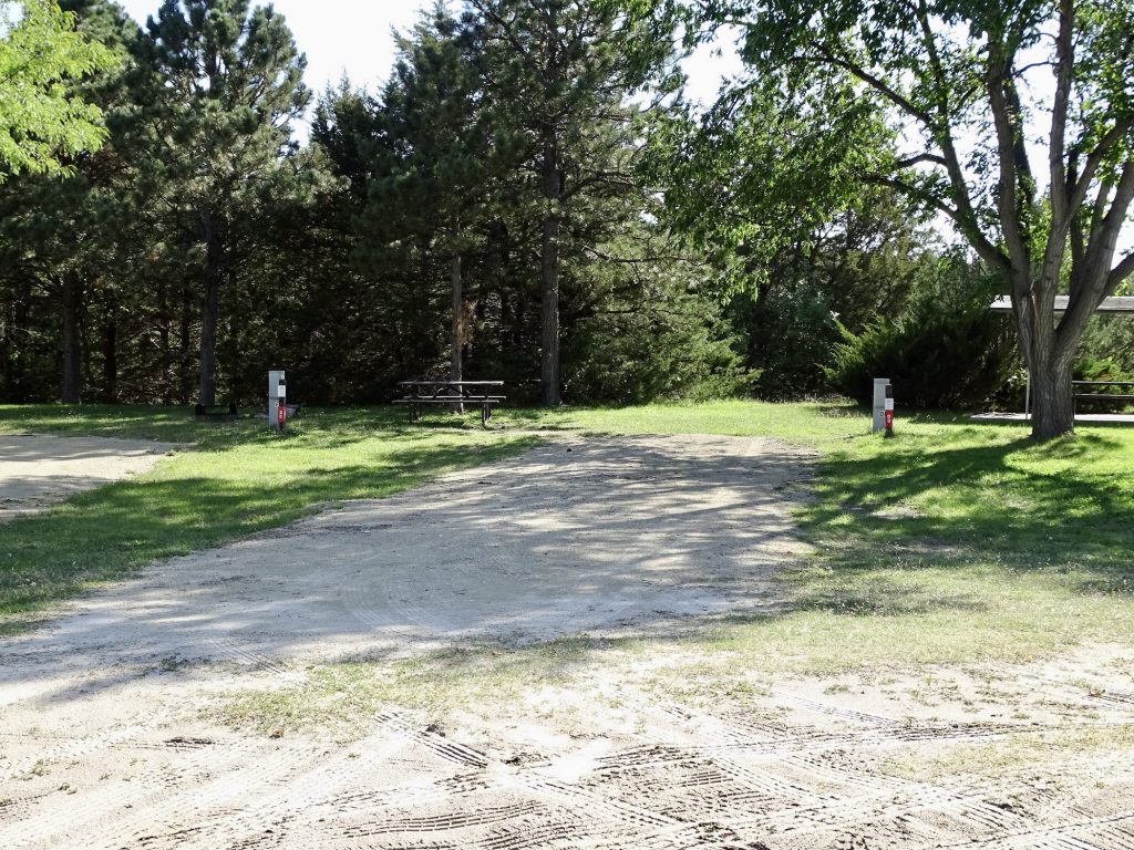
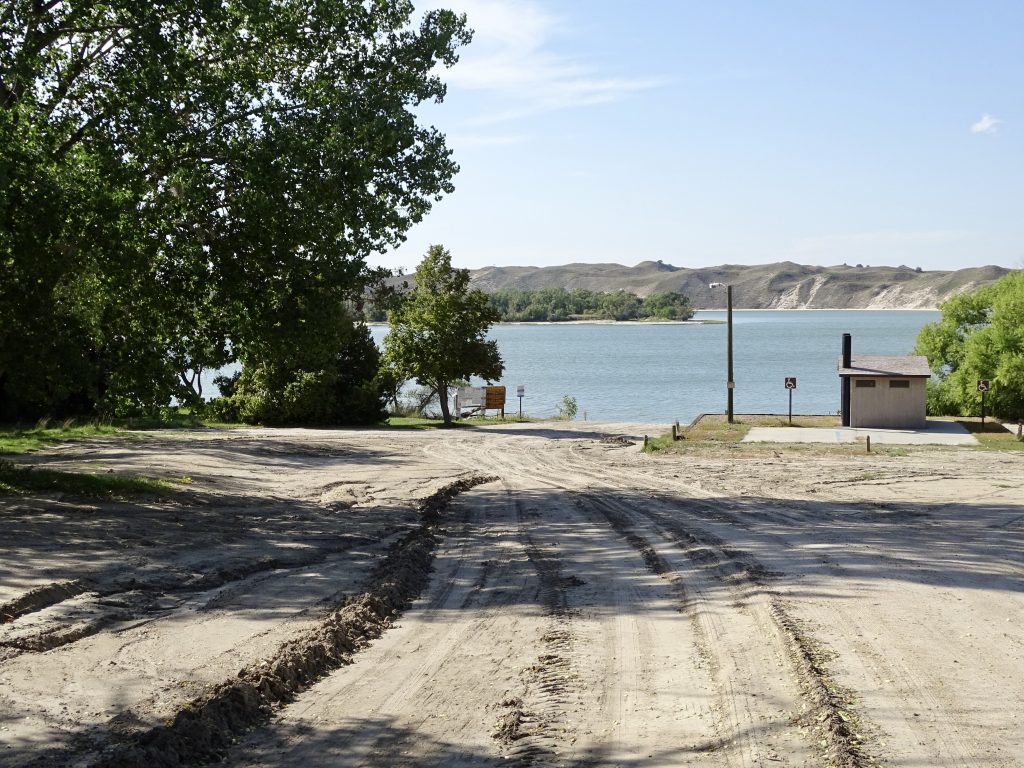
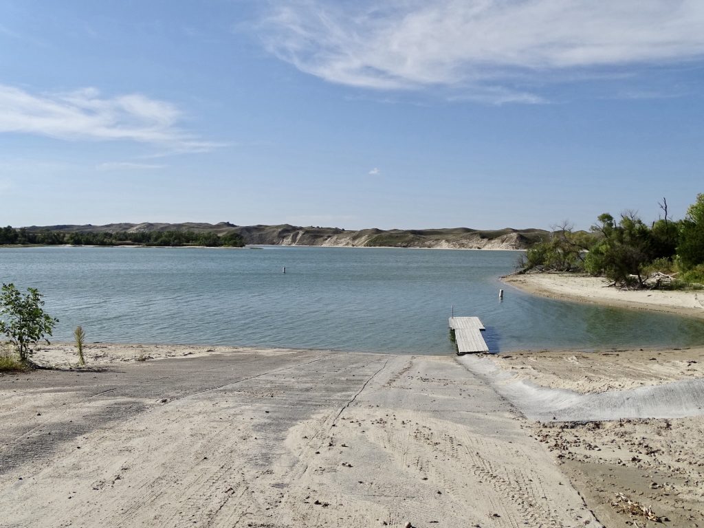
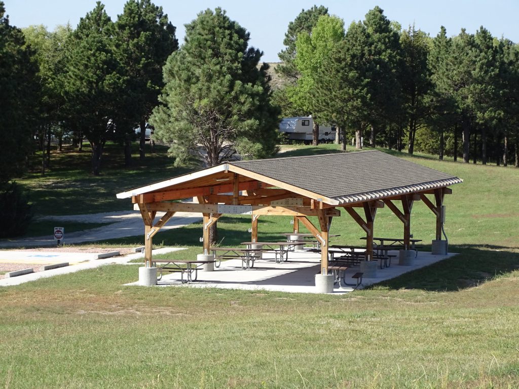
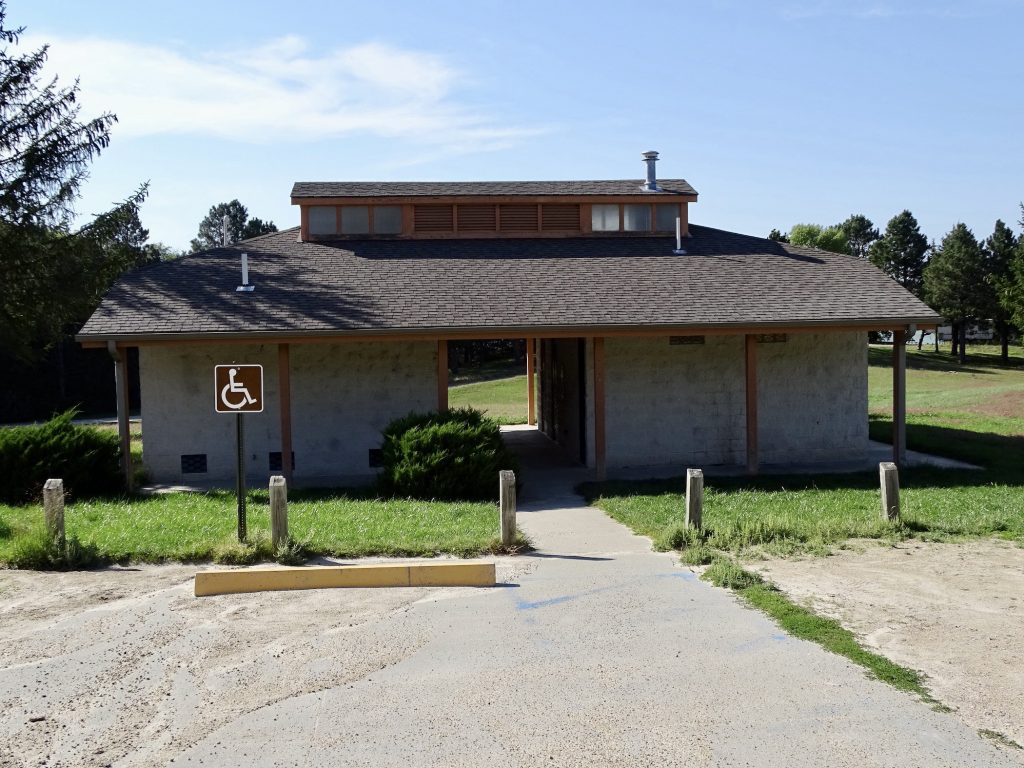
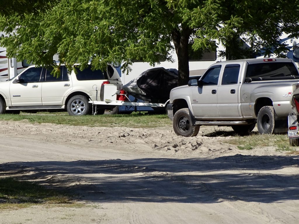
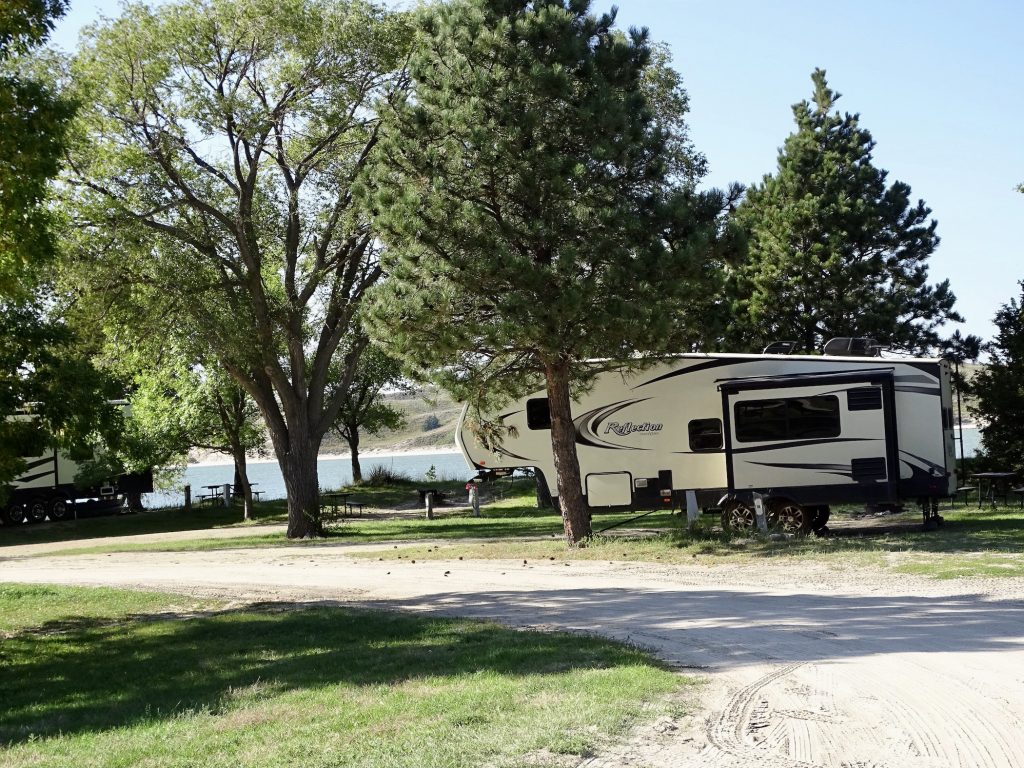
Merritt Reservoir State Recreation Area is in the Snake River Valley about 25 miles southeast of Valentine, Nebraska. The park is scattered along the east side of the lake with multiple camping areas. We were in Cedar Bay. Activities center mostly around fishing and boating, but you can hunt in season and picnic, too. There are a variety of sites ranging from electric plus (either 30-amp electric with a water hookup OR 50-amp electric with no water), electric (30-amp, no water), and basic (no electric). All campsites have a picnic table, fire ring, and grill. The local area has several things to do, including two waterfalls nearby. It is pretty remote, so there is not a lot of noise except coyotes and birds. There was no over-the-air TV, but we did have cell service (Verizon). It’s not often that we run across a park that we just wouldn’t go back to, but this one is on that list. The roads are horrible, both the paved ones around the lake and the dirt ones in the various areas. One section had a fairly deep mud puddle all the way across the entry road. It appears that they come through with a blade and smooth out the sand occasionally, which results in a mound of soft sand along the edge of some of the campsites like snow after they plow. One of our neighbors had it across the front of his site and it was a booger backing his fifth wheel and boat (separately) through it. In addition, the bathrooms are not cleaned well. On the morning after we arrived, MW went to shower and said it was a mess and both toilets on the men’s side were completely clogged up. He checked the next day and said it was a little better, but still not thoroughly cleaned. For this stay in September 2021 we paid $130.40 for three nights, which included the $46 annual Nebraska pass that we will use again.

Road Into Cedar 
Electric Site

Road to Boat Ramp
Hard to Drive Through
One of Several Boat Ramps

Pavillion 
Bathhouse

The Silver Truck REALLY
Struggled Getting Through the Sand Pile
Petunia Tucked In
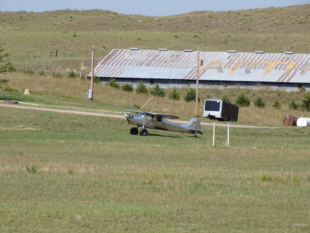
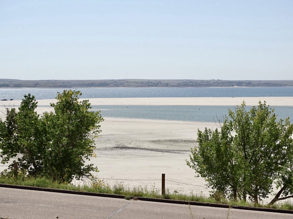
Thursday we didn’t head out until almost 10 AM for the relatively short drive down to Ogallala. We took NE-97 down to Mullen, then turned west on NE-2 and drove part of the scenic drive over to Hyannis. There we turned south again on NE-61. Near Arthur we caught sight of a runway in the middle of a field, then saw the plane parked out in front of the house. That is just a cool way to live! Wonder if he uses it to find his cattle? They can be just a short distance away, but hidden by sand hills. Between Arthur and our destination, we noticed that the grasses became more varied and larger trees started popping up. There was no longer an abundance of little lakes and ponds, and crops started making a comeback, especially corn and a little bit of sorghum. As we approached Lake McConaughy, I was surprised at the beach…totally white sand. Honestly, it could be mistaken for gulf coast beaches. Well, except for the very strong sulphur smell in the air. We made it to Lake Ogallala State Recreation Area about 1:30 PM. It was very hot, 94 degrees, so we spent the afternoon relaxing indoors.

Very Little Farming in the Sandhills 
They Really Are Spectacular

Twins – Fraternal 
Spring Fed Pond

As Far As You Can See 
Near Arthur

White Sand Beaches….In Nebraska!!
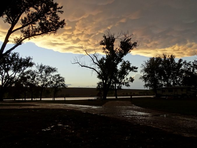
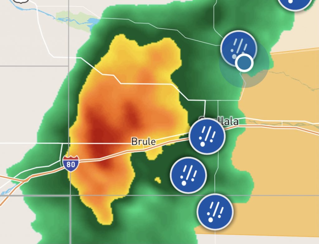
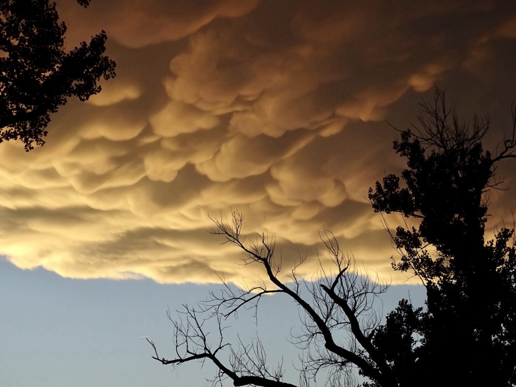
Around 6 PM, we started hearing thunder in the distance, which was totally unexpected. Within 15 minutes or so, the wind got pretty crazy. This is the first time in a while that we’ve been parked under huge trees, and the wind was whipping them into a frenzy. As it got darker and darker, I checked the radar. It wasn’t good. The big red blob was headed right for us! Having been through a few bad storms in Petunia, we settled in to watch as it rolled through. There was small hail and some driving rain, and the temperature dropped about 15 degrees, but it was over quickly and wasn’t nearly as bad as the storm we went through in Wisconsin. During a break in the rain, I went out to get a pic of the clouds, which were really beautiful. The storm passed, but the wind stayed. Later in the night another round came through. We had the windows open in the bedroom, and at one point I woke up hunkered down under the blanket while my hair was actually blowing in the wind…IN THE BEDROOM. That’s about when MW got up and closed the windows. LOL

Uhh Ohh!

Too… 
…Cool!!
By Friday morning, the wind had died down to a breeze, but it was much cooler…about 49 degrees when I got up. MW said there were a couple of big limbs and a bunch of debris down in the park, but that was about it. Some smaller bits landed on our roof before we went to bed, but they didn’t do any damage. He sat outside until he couldn’t stand the cold, but I was inside snuggled in my chair with a blanket! It was definitely a long-sleeve, layers kind of day. Later I headed into Ogallala to get some work done, go to a hair appointment, and buy some groceries. If you are ever in need of a haircut, color, or perm in Ogallala, I heartily recommend Cheryl Statler, the owner of Style Box Salon. I emailed her a few days prior to set an appointment, and she got back to me almost immediately despite being out of town on her day off! She is super nice to boot. I may have to hit Ogallala every time I need a cut or perm from now on! Back at Petunia, I got a little more work done.
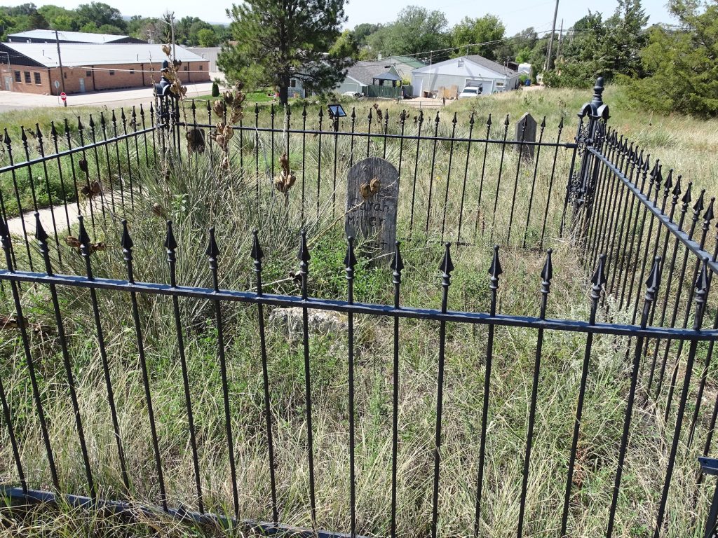
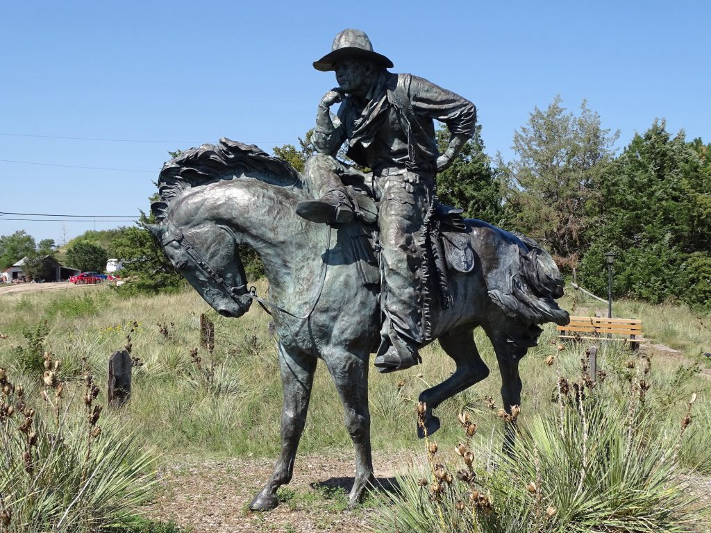
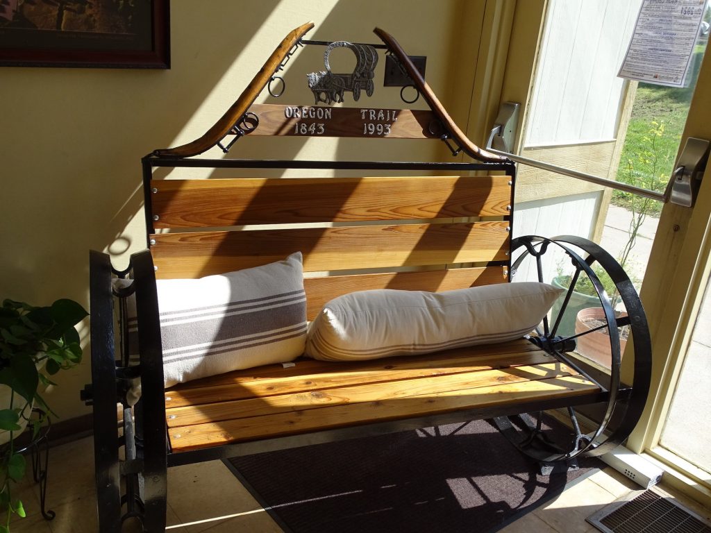
Saturday we headed out for a drive. The first stop was lunch at Open Range Grill in Ogallala, where the burger special and grilled chicken sandwich were both pretty good. Next we headed over to check out Boot Hill. From the days of the earliest western expansion, Ogallala was a place of transients. The Oregon, Pony Express, and Texas (the same that passed through Dodge City, Kansas) trails all passed through the area, and when the Union Pacific Railroad came through in 1867, the town started to grow. The Army showed up, moving west as the settlers did, bringing with them one of the first permanent white settlers, Louis Aufdengarten. He built a supply store for the buffalo hunters, who soon decimated the herds. With a lot of grassland and no buffalo, two enterprising railroad workers, brothers Phil and Thomas Lonergan, herded a bunch of Texas Longhorns to the area. Texas ranchers also began herding their cattle up to the northern states, creating new north-south trails. Herding laws in Nebraska soon changed in favor of farming, effectively closing down the open range in the eastern part of the state. Since western Nebraska was not suitable for farming, Union Pacific chose Ogallala for a new cattle shipping point. In 1875, around 75,000 head of cattle came through Ogallala’s chutes, and more businesses sprung up to accommodate the associated cowboys. By then there was a permanent population of around 25, but the town was filled with transients and quickly became one of the roughest places in the west, filled with cowboys, gamblers, saloon girls, and prostitutes. It is around then that what is now called Boot Hill, was in use. (After all, you didn’t bury hooligans and people of ill repute in the church cemetery, did you?!) At least 48 souls were laid to rest there, most with just a first name or description (Unknown Cowboy) and a date or at least year of death. That is the best they could do for people they didn’t know. The cattle shipping boom ended in 1884, when Texas fever devastated herds. Large ranch companies and homesteaders took up residence on the land in Keith County, and Ogallala settled in as a farming community. In the 1960s the local Jaycees cleaned up Boot Hill and made an attempt to recover as much information as possible. With few or no real records, it was quite a task. Today there are replica headstones on most of the graves. Save for one concrete marker and several wooden posts, the originals were lost to the prairie winds. There is a remarkable statue called The Trail Boss of a drover sculpted by Robert Summers that is worth the drive on its own.

Sara Miller & Her Infant Child
Exhumed in 1891 and Moved to the New Ogallala Cemetery
Truly Amazing Art

Look at the Detail!
Wrinkles Around the Eyes…Furrowed Brow…Neckerchief

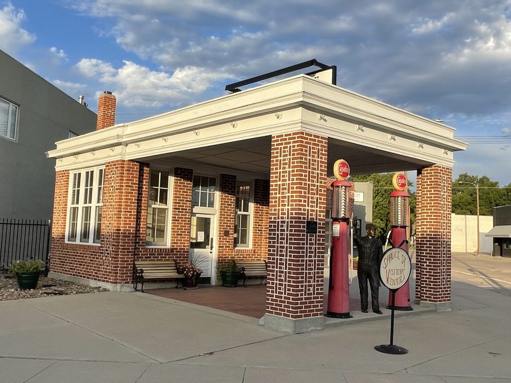
Old Gas Station in Ogallala 
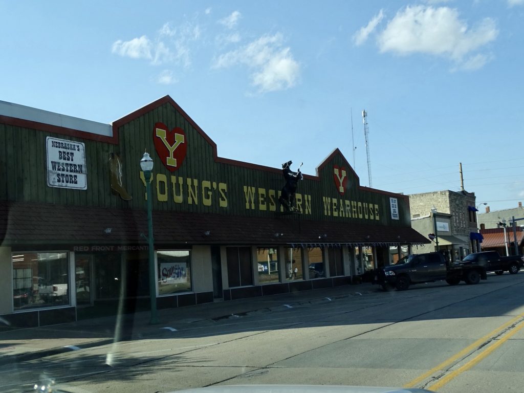
Downtown Ogallala

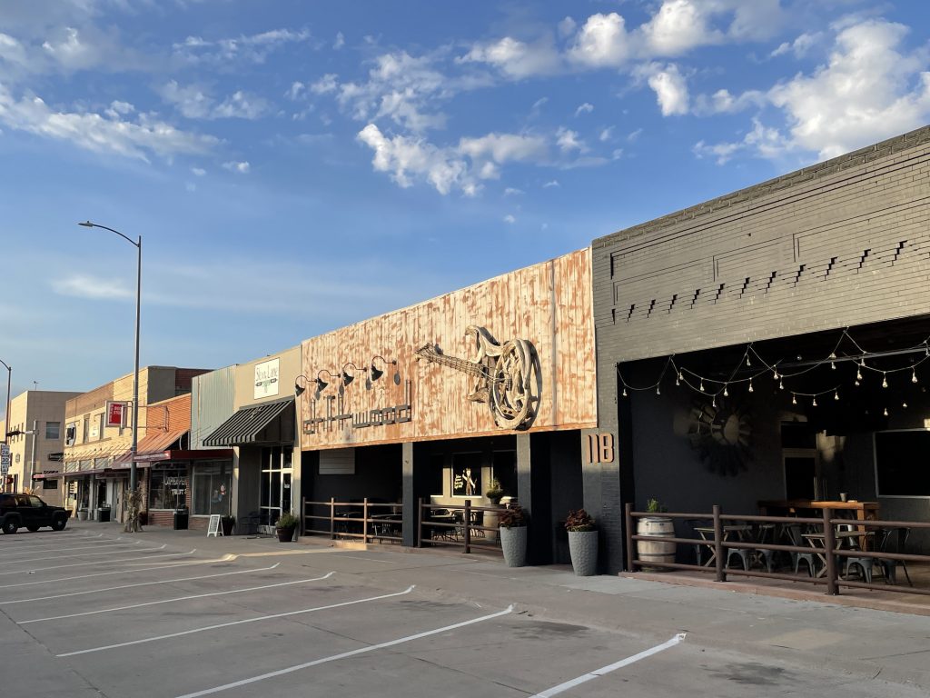
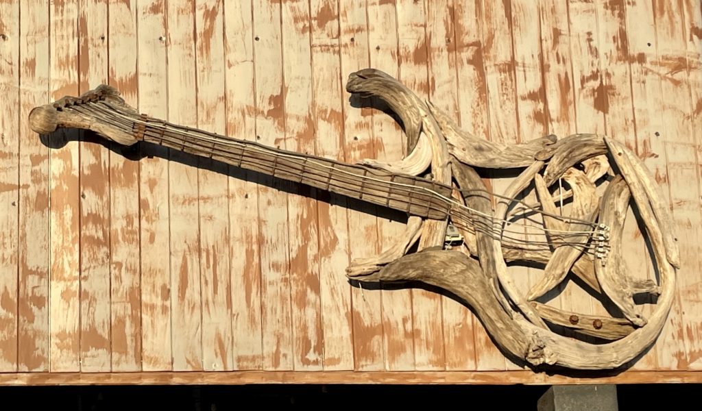
Guitar on Driftwood Sign
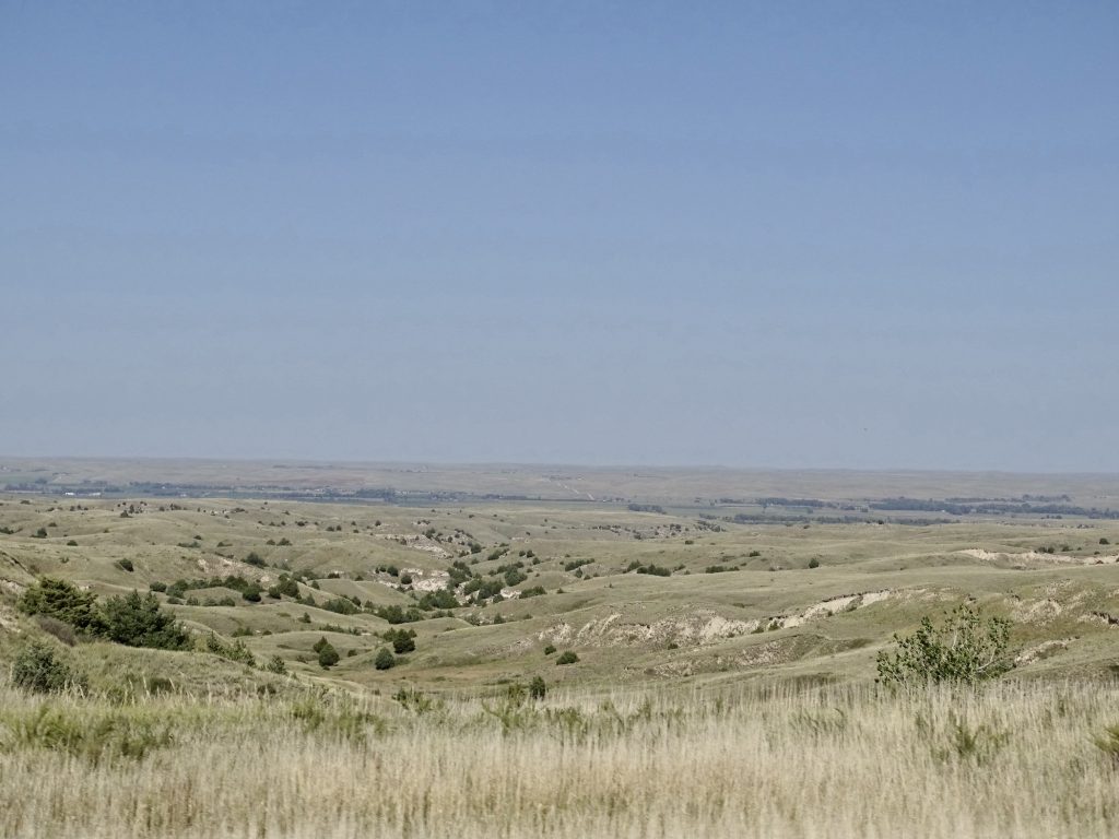
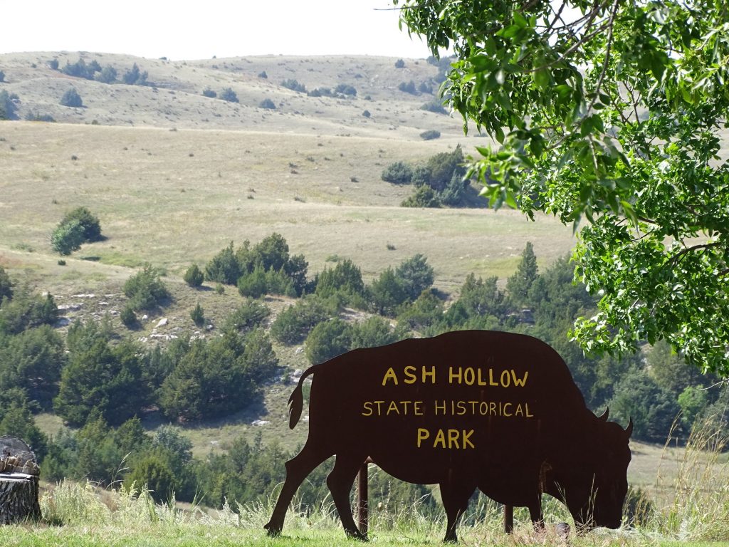
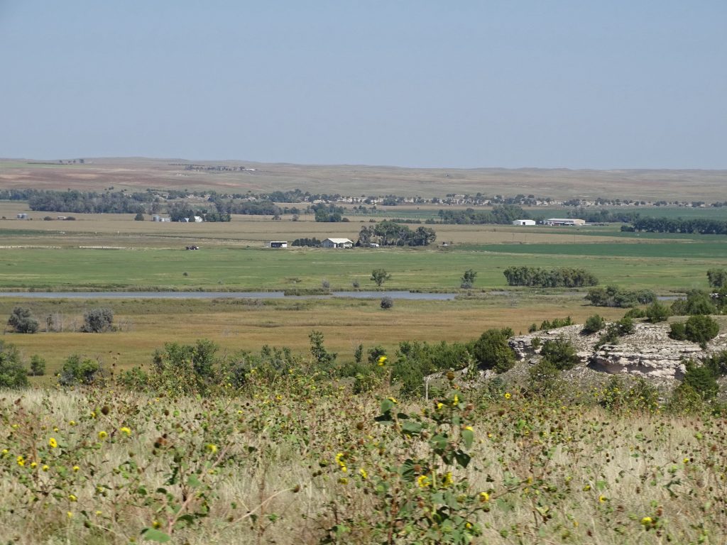
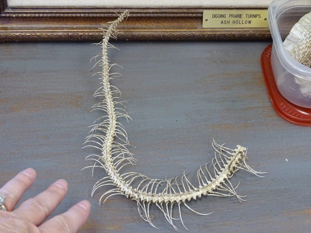
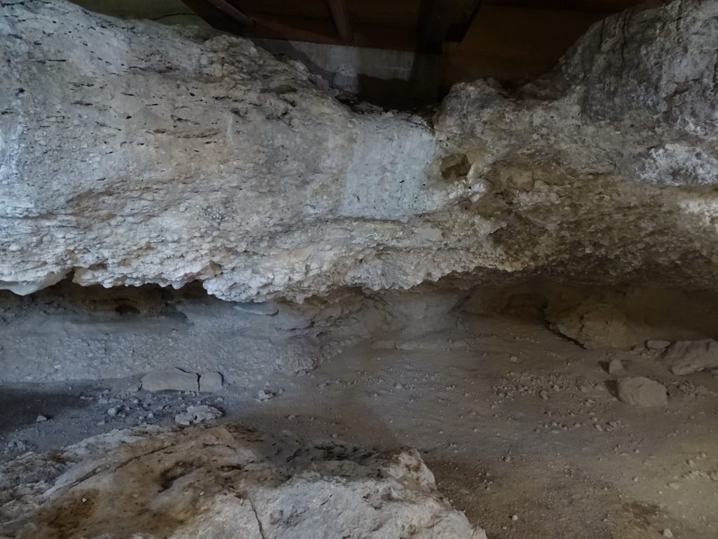
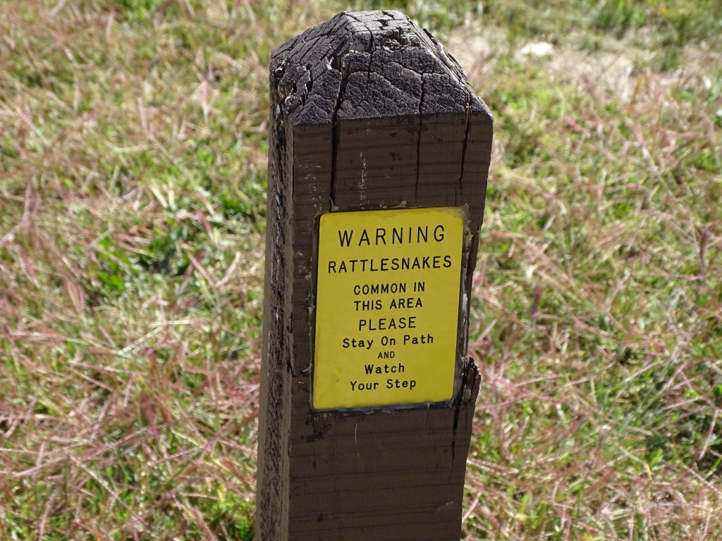
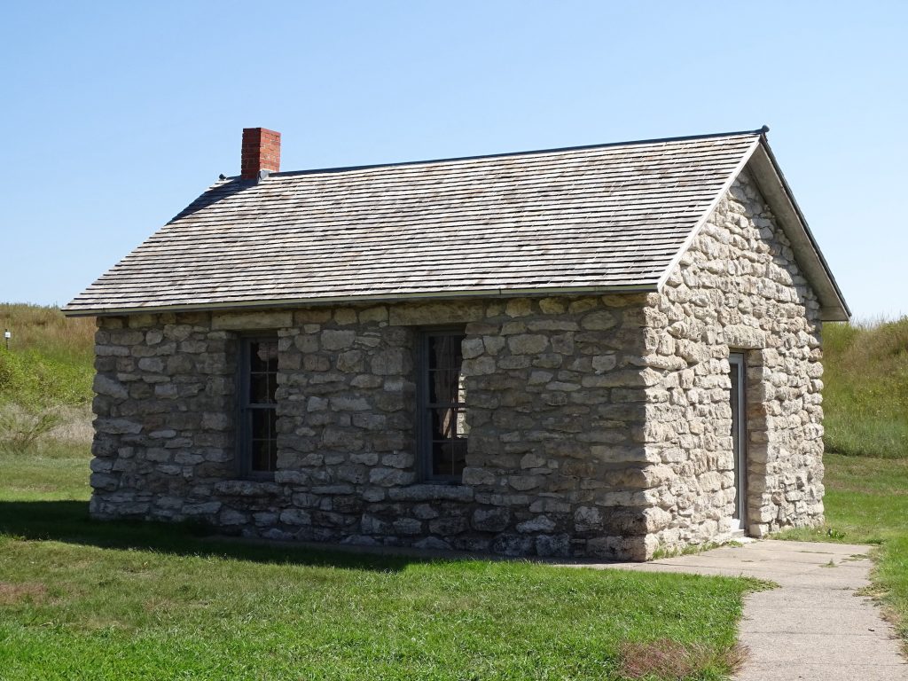
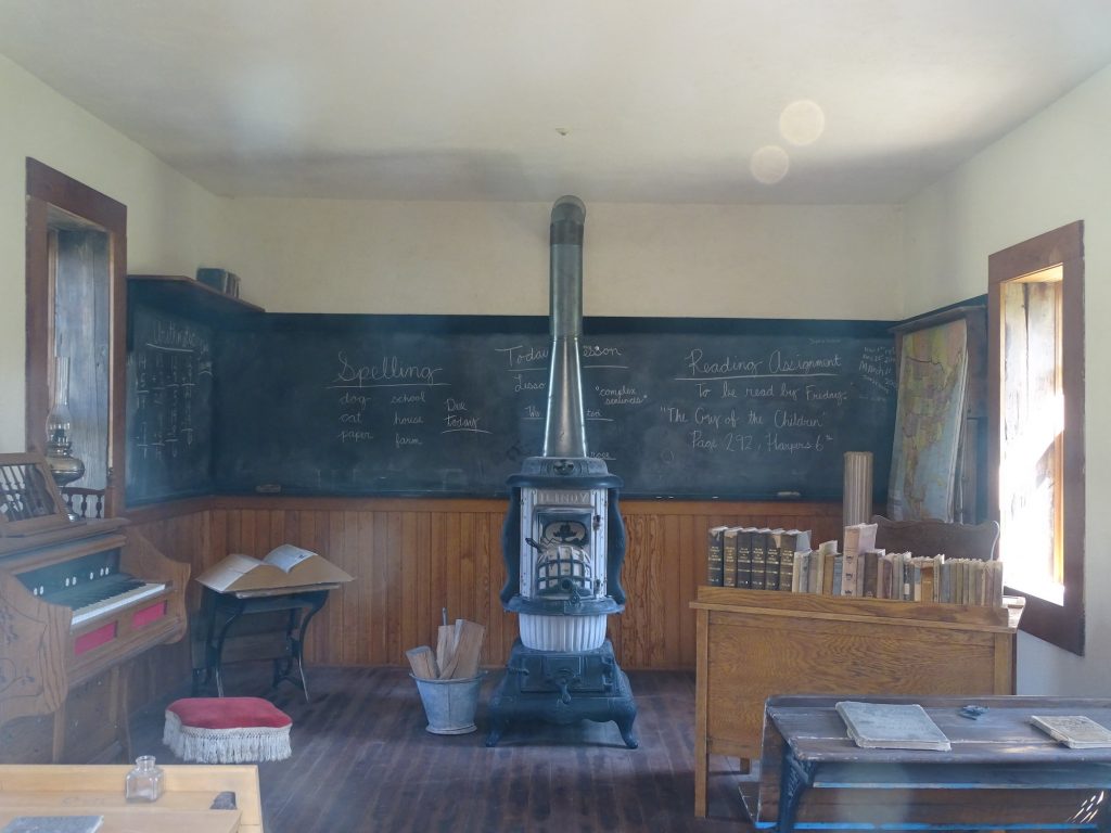
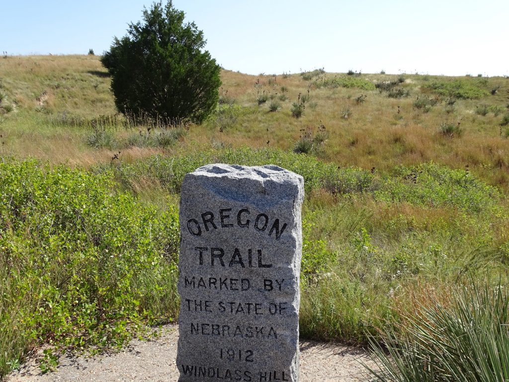
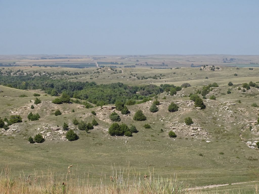
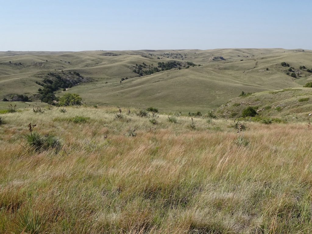
After quick stops in town for a couple of things, we headed west on US-26 to check out Ash Hollow State Historic Park. At the Visitor’s Center we learned that Ash Hollow is known for two things: First, it was a stopover point on the Overland Trail. After descending the very steep hills into this beautiful valley, the wagons stopped to take a break from the long, arduous ride. The valley offered good graze for their livestock and the refreshment of the river and sweet spring water. Second, there is a rock overhang cave that has been used as a campsite for 6,000 years, including by the Plains Indians. We took the short, steep walk down to the cave, which is protected by an interpretive center and plexiglass. (Honestly, it is just a hole in the hillside with nothing really to see. All of the information could have been housed in the Visitor’s Center and saved folks the hike.) Next we headed over to Windlass Hill to take a look at the Overland Trail. The hike to the top is pretty steep, but it does afford views of the trail’s path and the valley below. It is a rough, steep descent, and it is hard to imagine doing it with hundreds of wagons. One traveler wrote: “I cannot say at what angle the descend (sic), but it is so great that some go so far as to say ‘the road hangs a little past the perpendicular.’…” Those people were made of tough stuff!

Lake McConaughy 
Beautiful Day – Gorgeous Scenery

Approaching the Park 

View Across the Valley 
LOVE This!

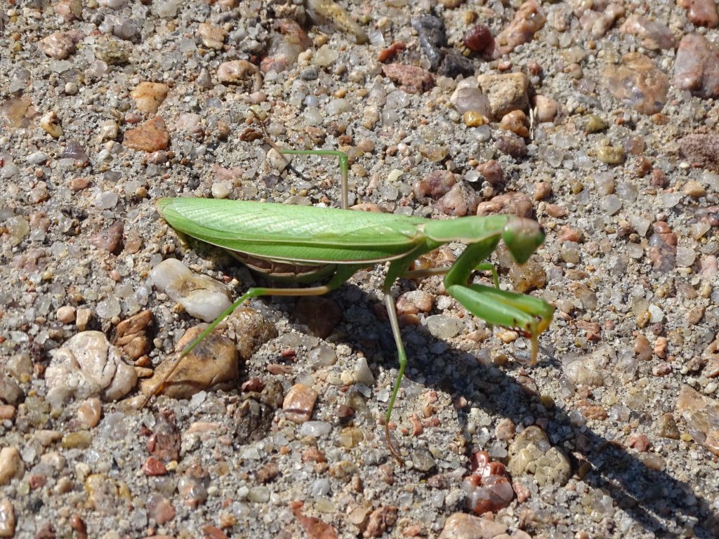
Imagine This Guy in Your Sleeping Bag! 
The Cave

Okee-Dokee 
Schoolhouse from 1903 to 1919
Served 5 to 12 Students per Year

Classroom 
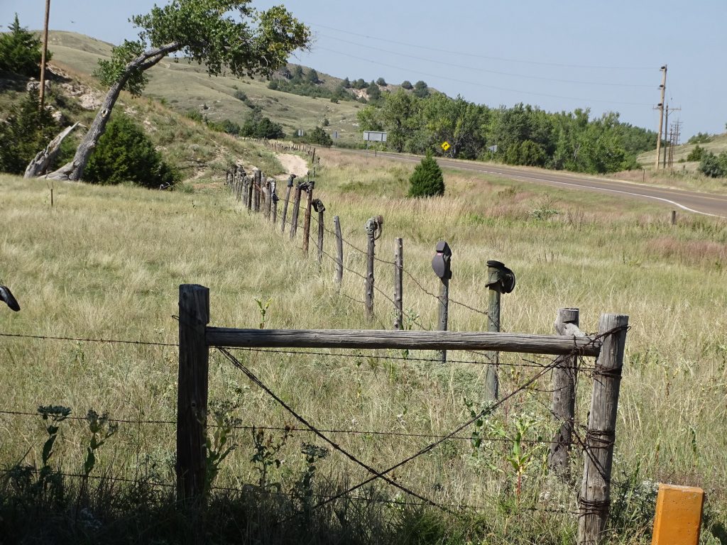
Look Closely at the Post Toppers

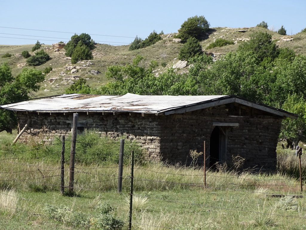
Sod Cabin 
Visitor on the Windlass Trail

The Trail Came Over That Hill 
In Front of Them

This is Surely Beautiful Land
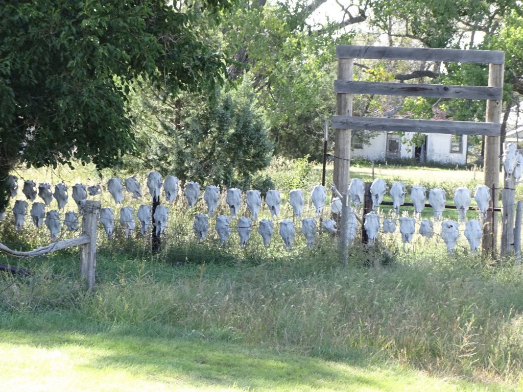
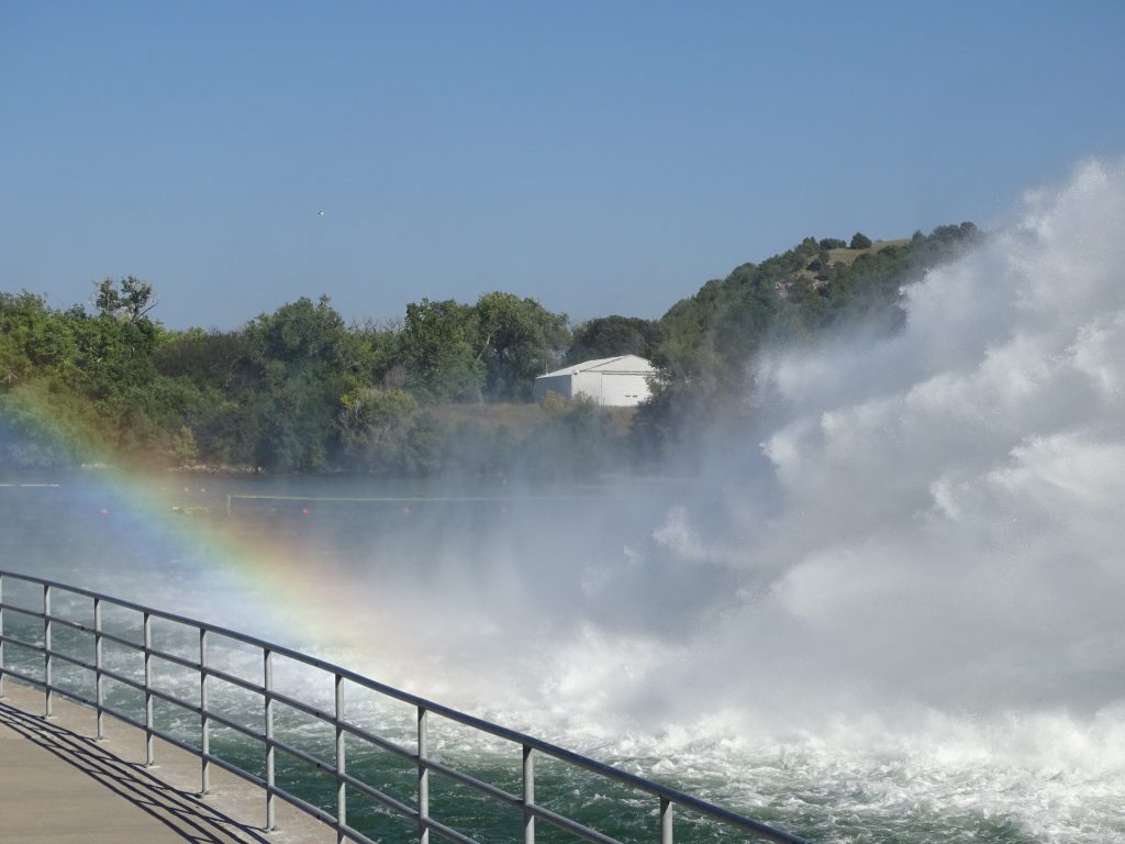
After a nice hike, we continued west to Lewellen and dropped off mail at the post office. Just outside of town we saw a fence of death covered with cattle skulls. Then we headed back on the north side of Lake McConaughy. At the park we checked out the West Campground, which runs along the base of the 162′ high Kingsley Dam. The dam was completed in 1941 as part of a hydro-irrigation project. The Kingsley Hydroplant was added in 1984, which added to Nebraska’s power generating capabilities. A bypass valve was originally installed to release water through the plant without running it through the turbine. Now that bypass is used regularly during the summer as a means to keep oxygen levels high in Ogallala Lake for the world-class trout population. I first saw the huge spray when driving into town on Wednesday, but it was blowing again when we drove down to that end of the park. According to the guy at the entrance gate, the terrible sulphur smell happens whenever the lake level gets very low and comes from the water being sucked off of the bottom of Lake McConaughy. As we were looking at the hydroplant, you could definitely tell that huge water spray was the source! Ewwww!! It was beautiful, though.

Bank of Lewellen – 1917 
Downtown Lewellen, Nebraska

Wall of Death 
See the Rainbow?
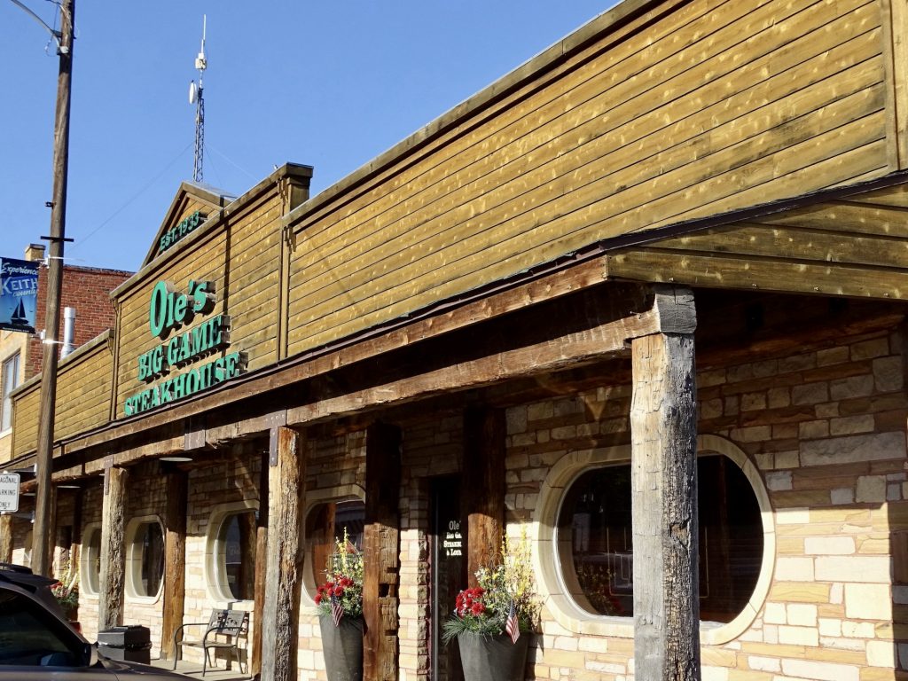
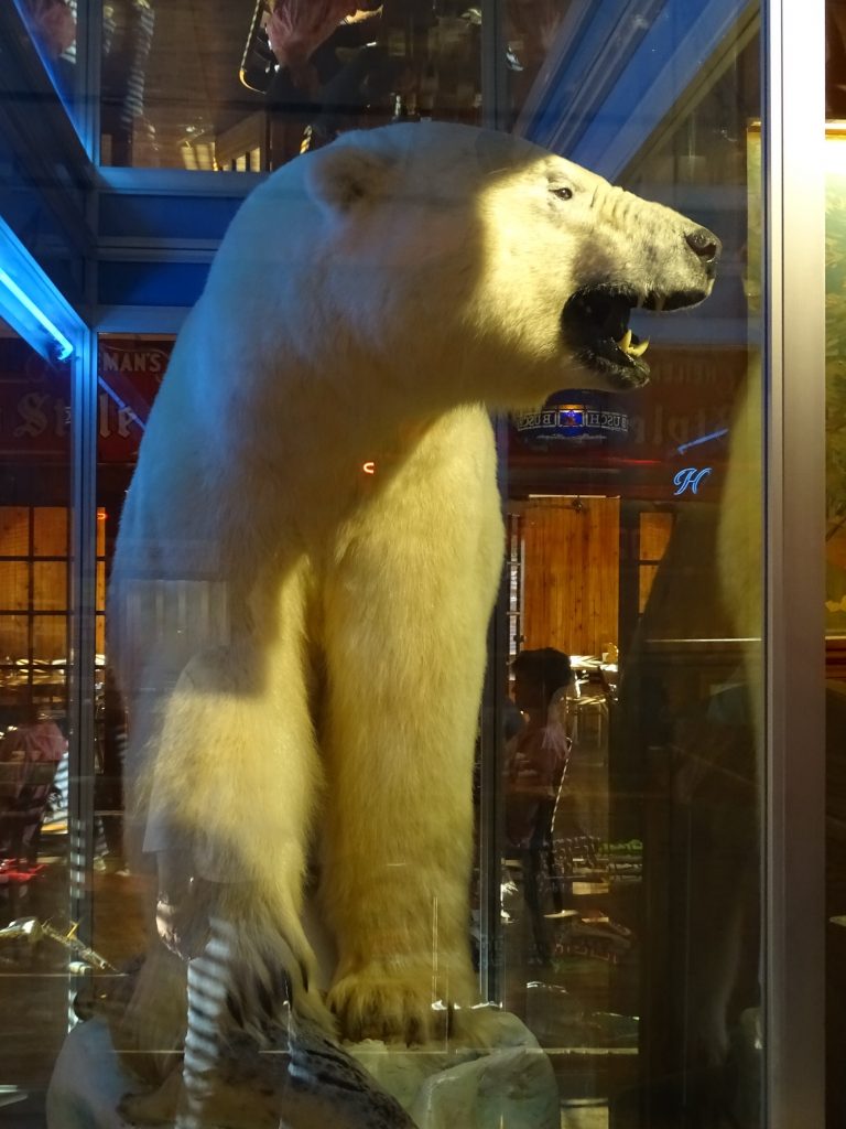
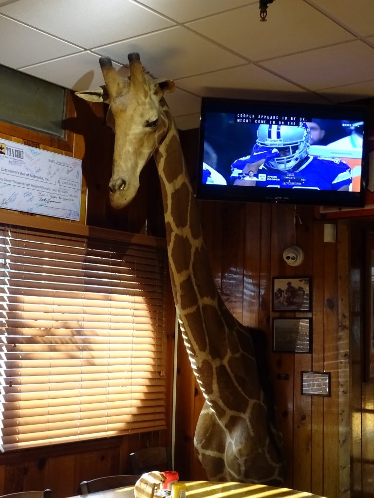
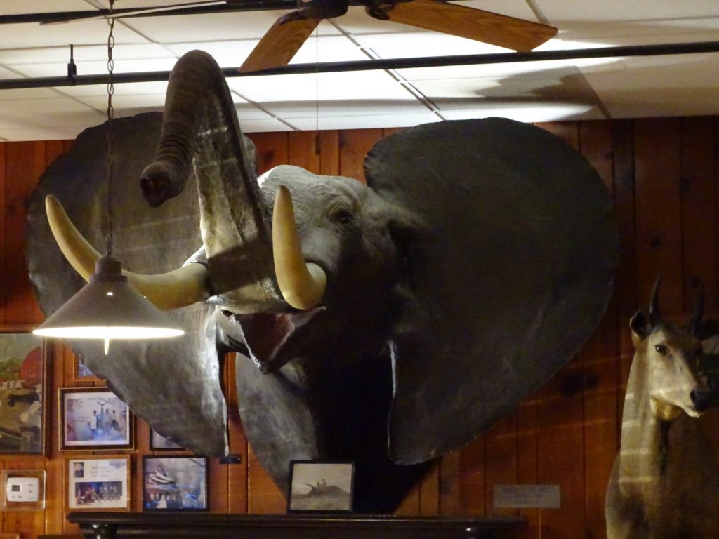
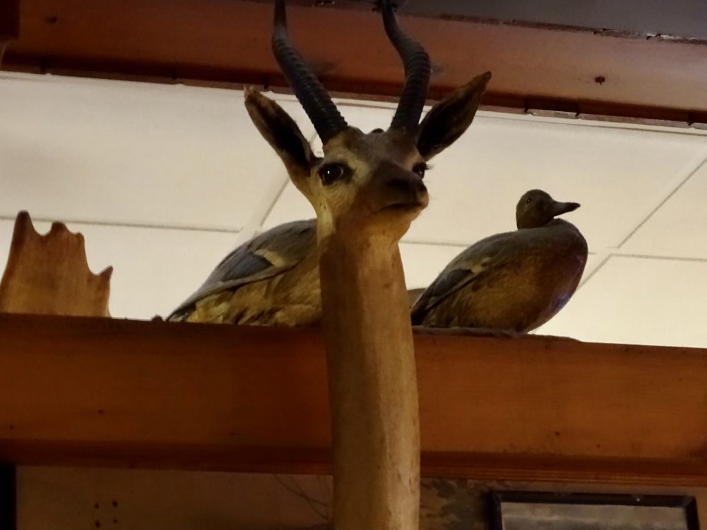
On Sunday morning we were up early and treated to a spectacular sunrise. We headed to Ogallala to take care of a much-needed chore…giving Brutus a bath. Back at the campground, I gave the inside a thorough cleaning as well. After being on the road for five months, it was smelling a bit like dirt in there! (Hopefully we can find someplace to get Petunia cleaned up soon. She really needs it, too!) We listened to our church service and then relaxed a bit in the afternoon. For dinner we headed down to Paxton, Nebraska, for dinner at Ole Big Game Steakhouse and Lounge. They received good reviews on their Prime Rib, and MW has been jonesing (pun intended) for several days. It was most excellent. I had a chicken fried steak, which was just average. The other attraction, though, is the animals on display. In the United States prohibition ended on August 8, 1933, and this place was open for business at 12:01 AM on the 9th! Back then, the place owned by Rosser “Ole” Herstedt was a man’s place. After a day of hunting, men would gather there to eat, drink, tell lies, and play cards. In the basement, local women would clean game birds, and it is said some would provide “more personal services”. In 1938, Ole bagged a white tail buck, and hung the mount in the bar. From there, the collection grew. Ole appears to have hunted it all, too…moose, elephant, giraffe, python…over 200 mounts grace the walls. I understand that type of hunting is no longer in vogue, but back then big game hunting was a serious deal and this guy’s collection is pretty impressive. It even includes a polar bear he shot in Russia while hunting on an ice floe! Jack Dempsey, Robert Duval, and Amanda Blake are a few of the notables who have traveled to this tiny Nebraska town to check it out. Ole worked and owned the bar until 1988, when he sold it to then 28-year old Tim Holzfaster, a local native who could not bear to have the Paxton landmark shut down. The only thing that disappointed me was the lack of game on the menu. I would have expected to see elk, bison, etc. People still come from all over to check it out. If you don’t mind being watched by a passel of animals while you eat, it’s definitely worth a visit.

Sunday Sunrise

Lake Ogallala from the Dam 
Campers on the White Sand Beach

The Sand and Rocky Coast on the Other Side of Lake McConaughy

Mural in Paxton, Nebraska 
Big Game Mecca

This Guy Was HUGE! 


Gerernuck
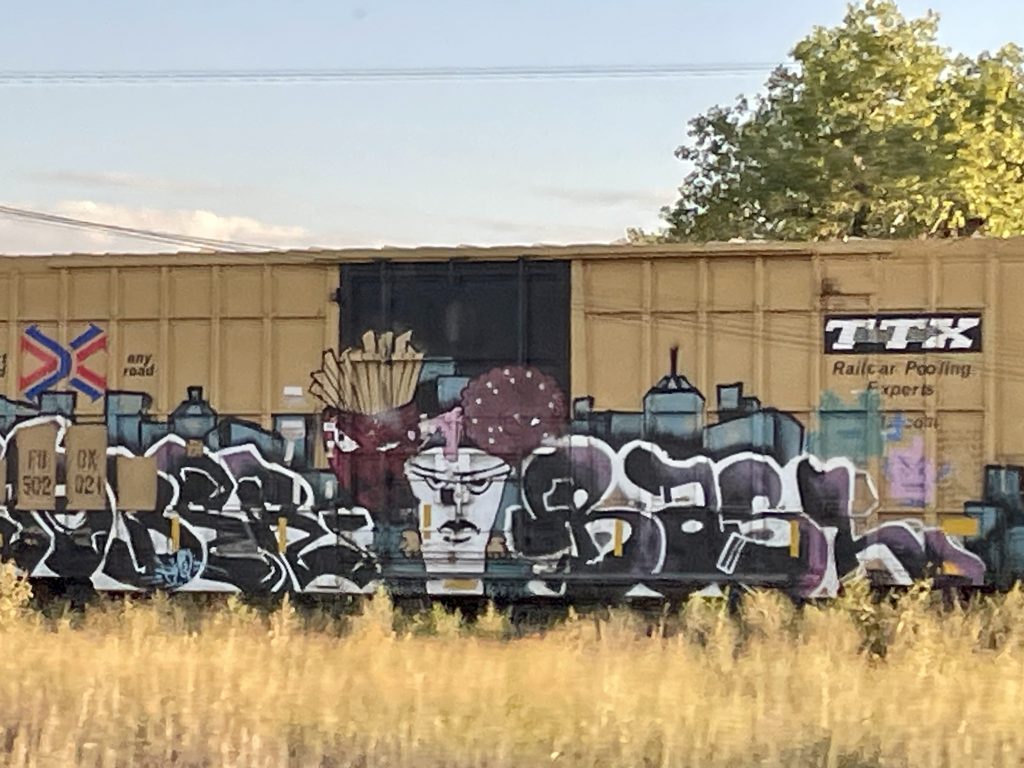
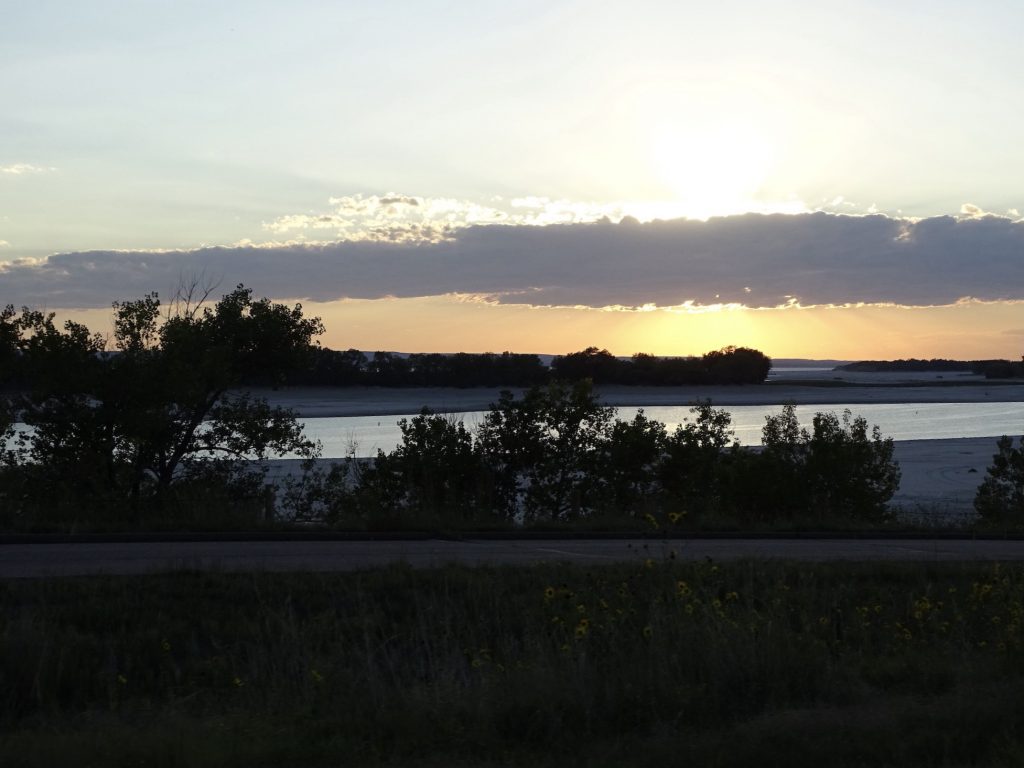
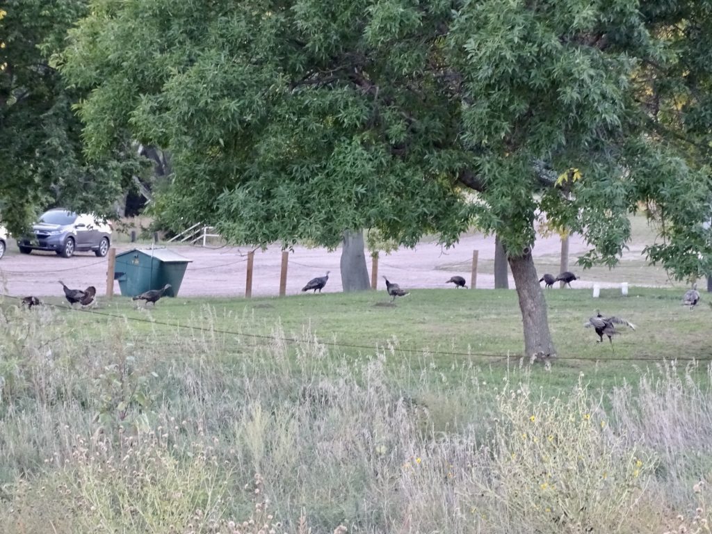
As we headed back to the park, we passed a freight train. I’m always fascinated by the artwork on some of the cars. MW and I are always wondering how someone can get so creative in the small amount of time the cars aren’t guarded. Of course, some of it is just crap, but today we saw one that was pretty good. We also had a first…MW saw a huge owl sitting on a fence post. We always see hawks and occasionally eagles, but have never seen an owl out there. As we neared the campground, we were treated to a beautiful sunset over the lake and a huge flock of turkeys. Nice!

How Do They Do This?

Sunset on Lake McConaughy 
Caught a Few of the 25ish
SIDE BAR: While we were eating dinner at Ole’s, a couple came in with a little boy that I’m guessing was about 6 years old. As soon as he cleared the doorway and saw the polar bear, he stopped and refused to come in the restaurant. The Mom stopped and talked to him, explaining that all of the animals were stuffed and could not hurt him. He steadfastly refused to budge. So the parents came in, and sat at a booth in the back. The boy, who was only about 15 feet from us, stood in the doorway whining, pointing to the animals, and talking about them attacking him. Mom returned and told him Dad was going to get mad if he didn’t come and sit down. No dice. Then she said he could go sit in the truck. Nope. She again left to go order her dinner. After maybe 7 more minutes, the Dad walked back up and told the boy to come sit down. Not happening. He retreated and left the kid there to irritate us. The problem was, both parents were smiling and treating it like it was funny. About a minute into the kid’s standoff, you could tell that he was simply putting on a show for the people sitting close enough to see. He would walk a little ways out into the room, then turn and run back to the door, saying “they’re gonna get me!” Don’t get me wrong…I’m all for calmly and patiently explaining situations to children and addressing fears. This child was not afraid, he was showboating. On top of that, his parents had no idea that they were letting him drive the bus. They are going to be in for a rough ride when that little fella becomes a teenager.
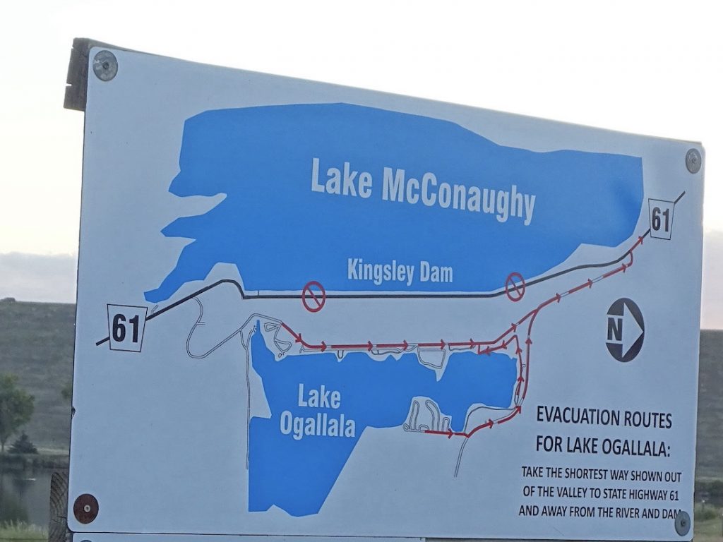
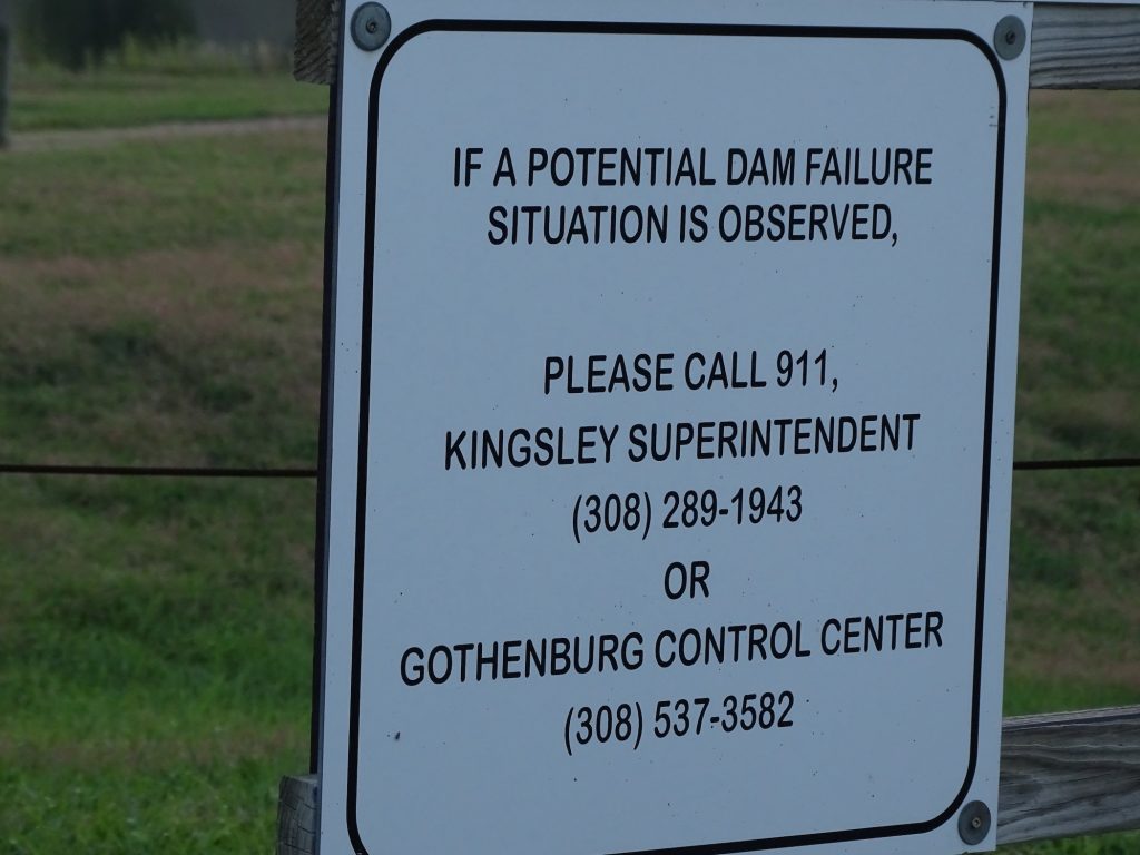
SIDE, SIDE BAR: As you come into our campground, the signs below are posted with a diagram showing the two lakes and the dam. I don’t know about you guys, but if it appears to me that the dam is failing, several things will happen: 1) First, I may actually poop my pants. It could happen. 2) I’m grabbing my computer and purse off of the table as I RUN out the door. 3) I’m yelling at MW to get in the dang truck. 4) We are getting the heck out of Dodge. Sadly, Petunia will be left to survive on her own. You will note that, nowhere on my list is calling anyone, much less someone at an 800 number. I MAY try 911 after we’ve gotten on the road, but I could just be preoccupied with finding clean underwear. That reminds me of my days as an Air Traffic Controller. When I reported for duty at my first station, Augusta Tower in Augusta, Georgia, I was issued a little card to carry around in my wallet. The Chief explained that, in the event of a nuclear attack, this little card would let me cross all barricades and police lines to come to work. Now I don’t know about you guys, but in the event of a nuclear attack, I’m pretty sure I wouldn’t be going to work. I told the Chief that, in that event, he could probably just go ahead and mark me off of the schedule. He said I better plan to come in, because he certainly wasn’t! LOL

Note the Height of the Dam Behind the Sign 
WHAAAATTTTT??!!
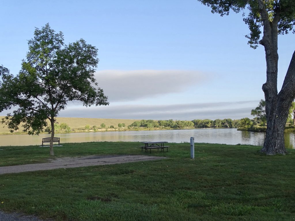
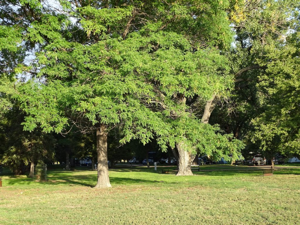
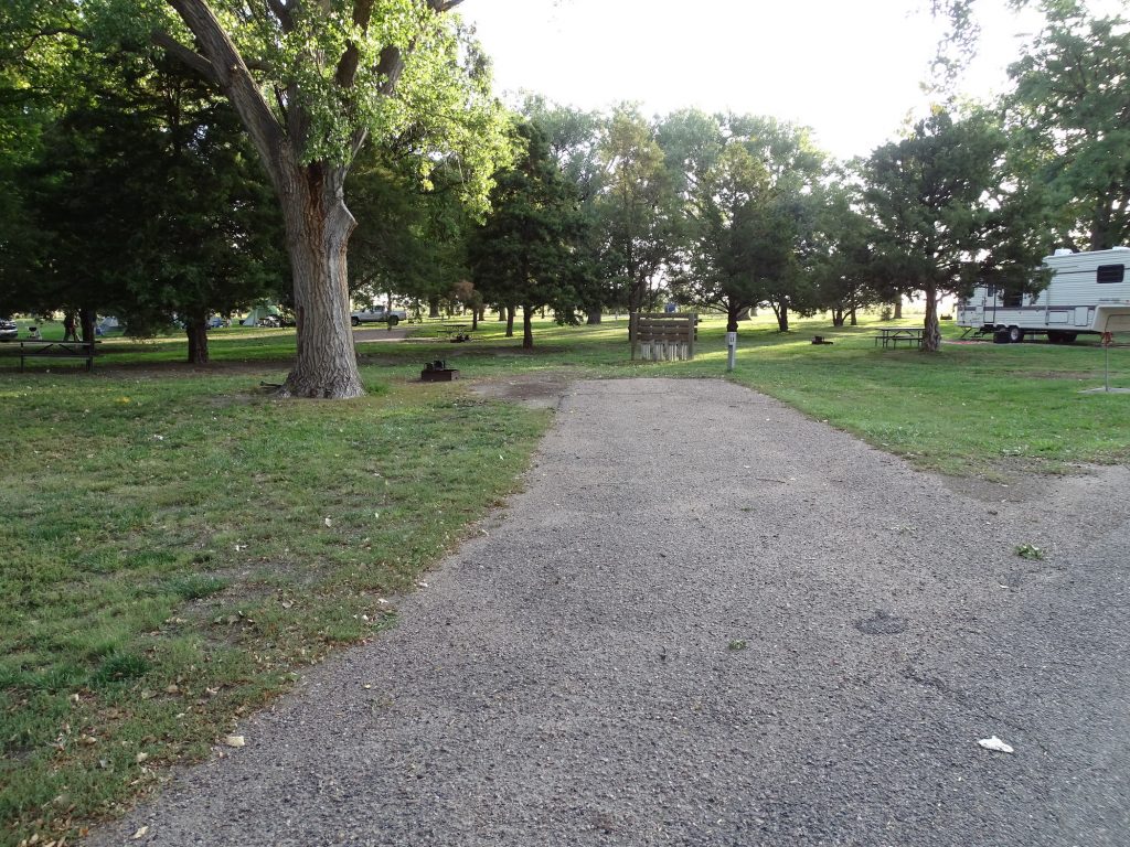
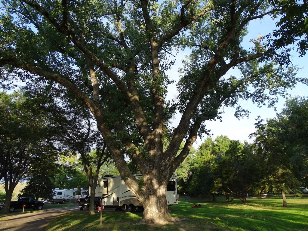
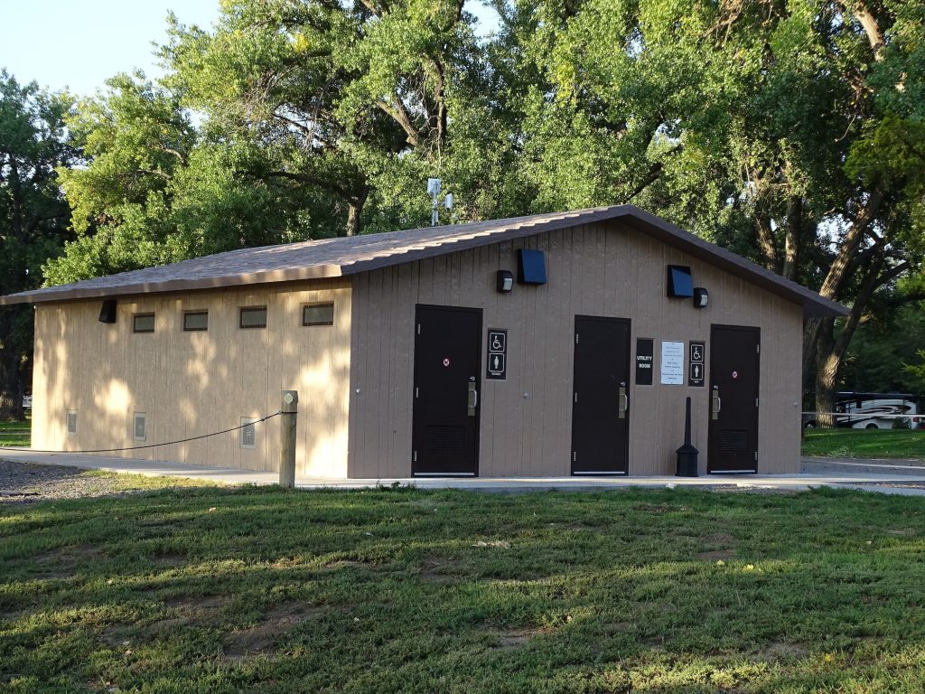
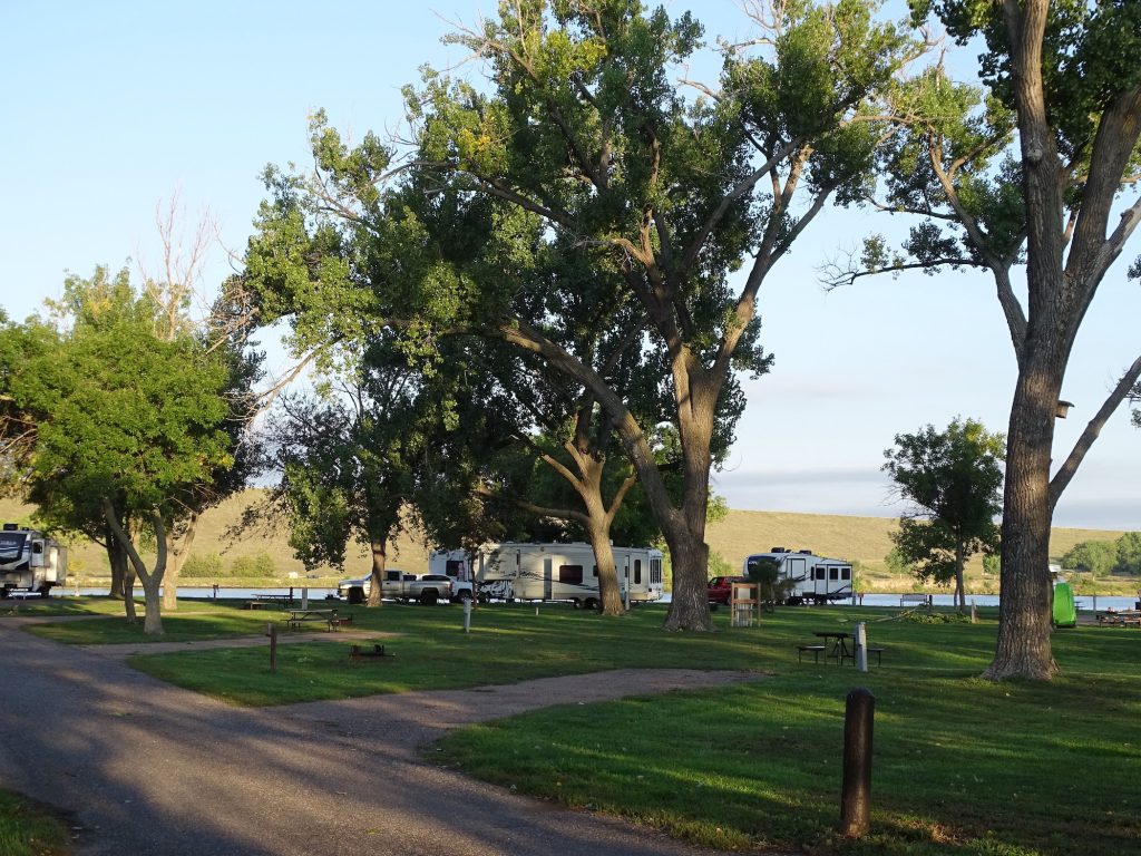
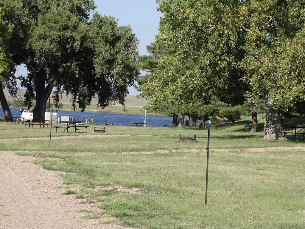
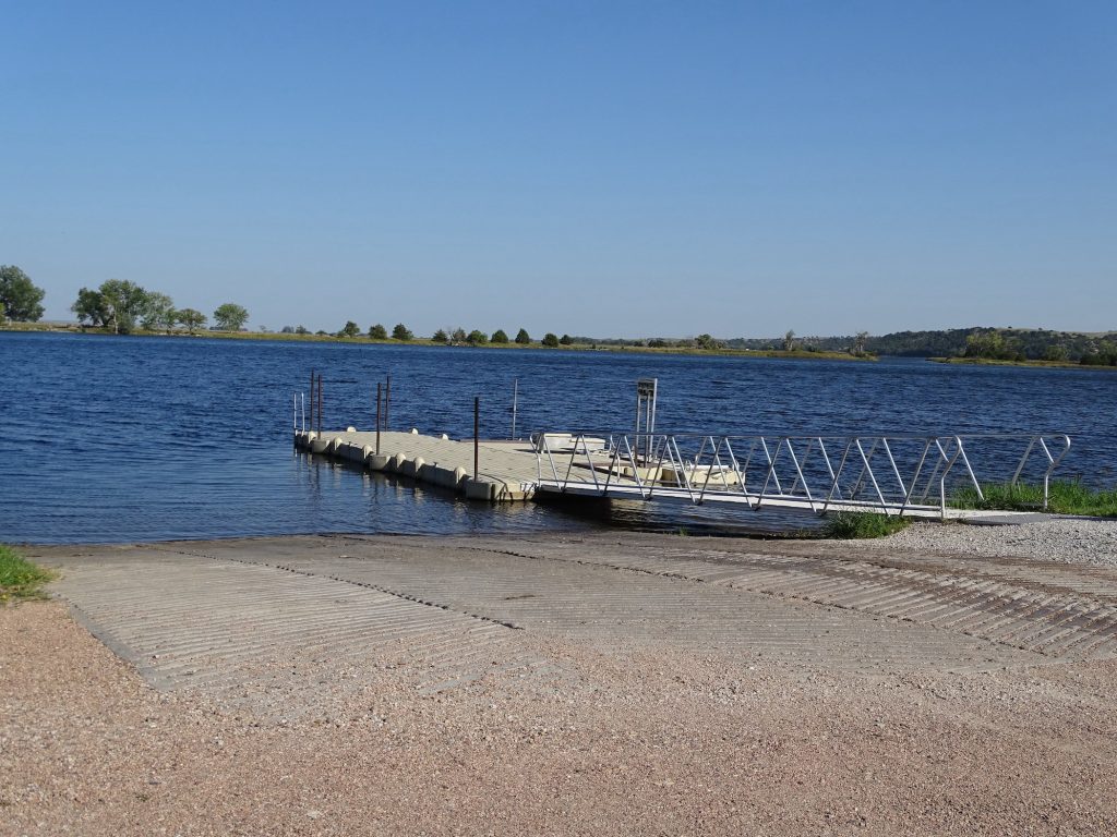
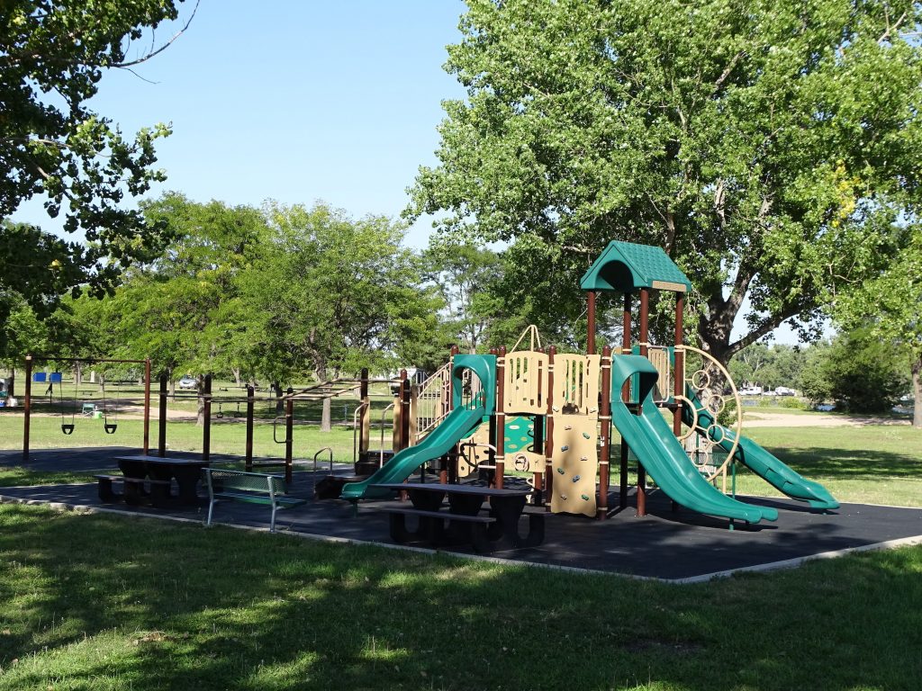
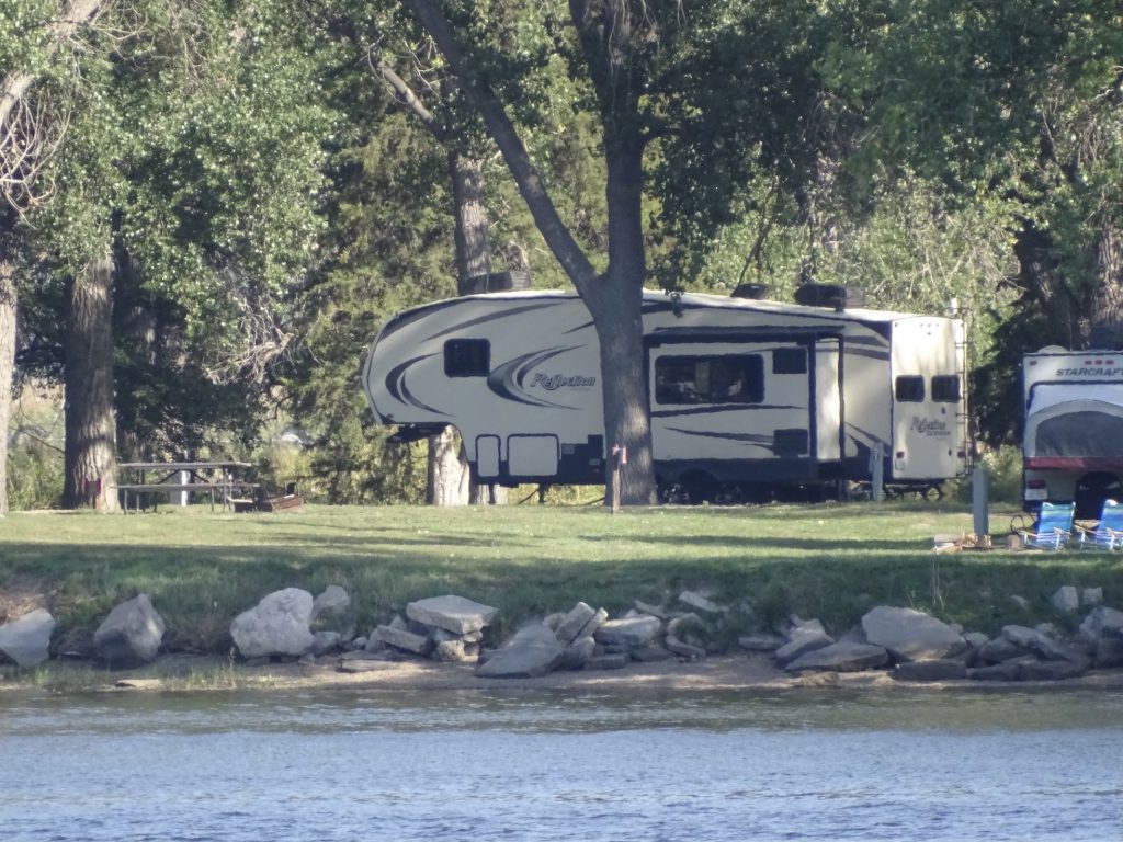
Lake Ogallala State Recreation Area is on Ogallala Lake on the North Platte River. Just west, on the other side of Kingsley Dam, is the much larger Lake McConaughy, and the town of Ogallala is about 12 miles south. At 320 acres, “the little lake”, as it is known by the locals, is no-wake and somewhat protected from the prairie winds by the giant dam. That makes it popular for kayaks and canoes, as well as smaller fishing boats. The rainbow trout are the big thing, but there are several other species in the lake. You can fish from the shore in the campground, too. The park is divided into two distinct sections that are separated by water. The West Campground is spread out and offers primitive, grass sites, many on the water, with tables and grills. There is drinking water in the area, as well as a fish cleaning station, boat ramp, kayak/canoe launch, and playground. The East Campground has paved roads and 82 paved electric (50-amp) sites with picnic tables and fire rings. There are multiple water faucets and a nice bathhouse. Vault toilets are spread throughout both areas. From the east side, you can access the 2-mile long hiking/biking trail that runs along the top of the northern dyke and ends at the diversion dam. The park is really nice. Their bathhouse is a nice set-up, but is a bit buggy and could be kept cleaner. You can hear a little bit of road noise from the dam road and the occasional train off in the distance, but the immediate neighbors to the park are cows. The sites on the water are a little closer together, but generally the spacing is pretty good. The grounds are very well kept, too. The crew was out cleaning up the morning after the big storm. One unusual thing, though, is that they ran two of the three loops clockwise, which makes the inside sites angle away from the road. That is atypical, and you might not realize it when making a reservation. After September 16, the park switches to first-come, first-served, but requires reservations during the summer season. We would come again. For this visit in September 2021, we paid $100 for four nights. Our Nebraska annual park pass covered the $32 in entrance fees.

Lakefront Electric Site 
Beautiful Grounds

Interior Circle Electric Site 
The Trees Are HUGE!

Bathhouse 
More Electric Sites

Primitive Sites 
Boat Ramp, Dock, and Canoe/Kayak Launch

Playground 
Petunia From Across the Lake
That’s it for now. Next up….more Nebraska! Who knew there was so much to see here?! See you on the path!
Talisa
P. S. Hit the follow button below to be notified of new posts and please SHARE, SHARE, SHARE on social media! Thanks!
