CURIOSITIES TO START THE DAY:
Sign in Sultan, WA – “Everything’s a Hammer, Unless It’s a Screwdriver. Then It’s a Chisel.” Huh?
Sign on the railroad tracks near a crossing, designed for the engineer to see – “Caution Hy-Rail Trains Lift Frog”. Double Huh??
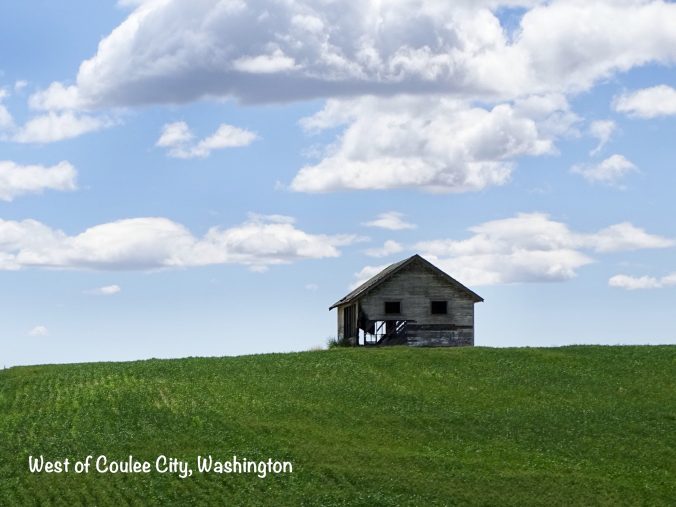
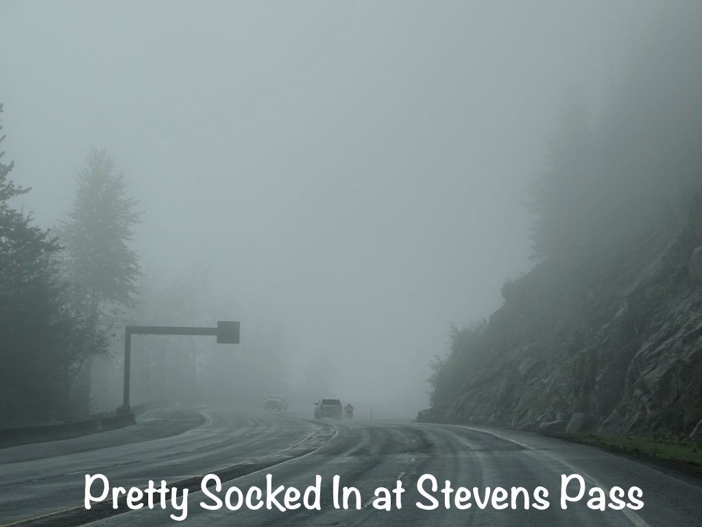
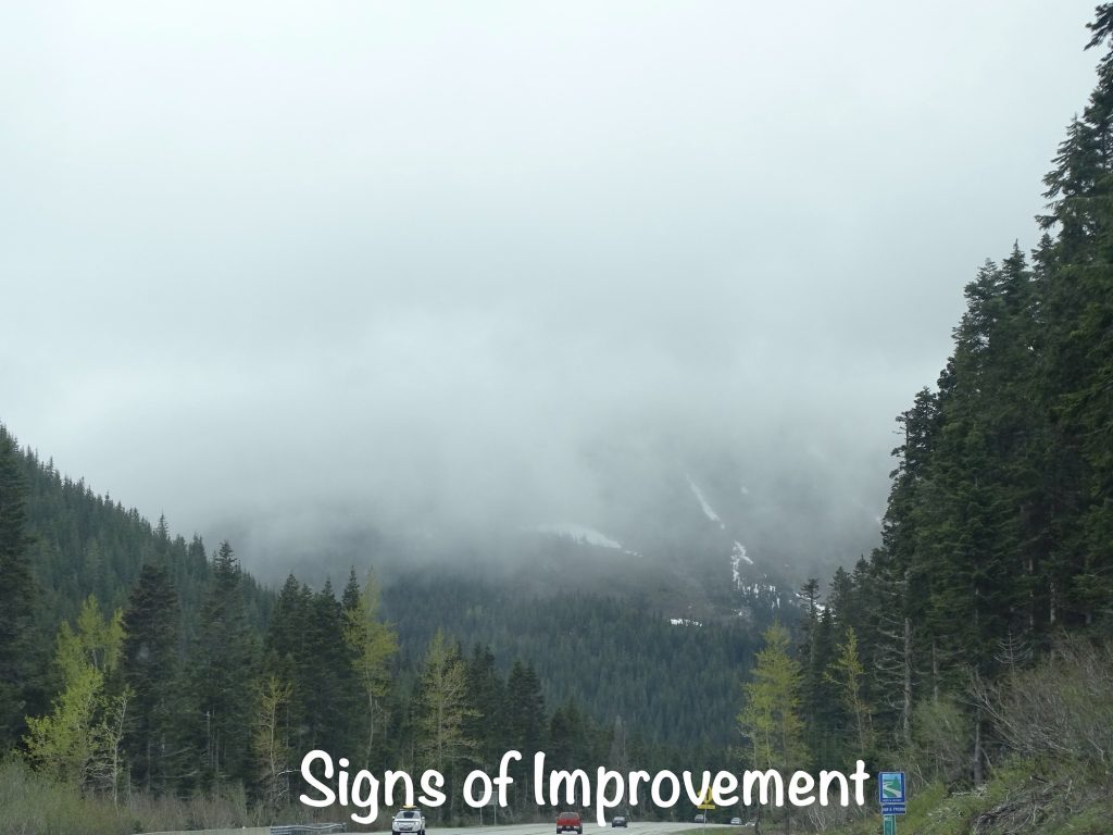
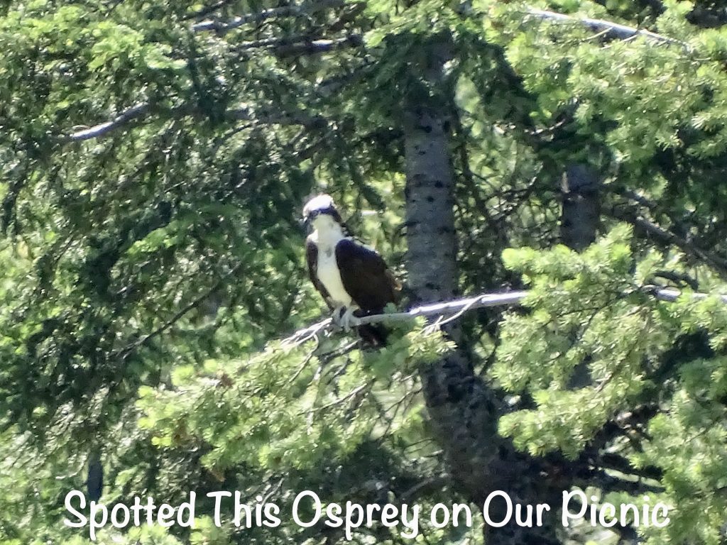
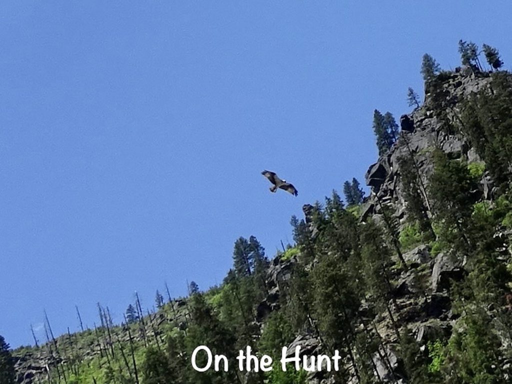
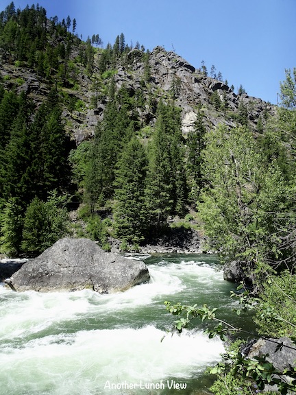
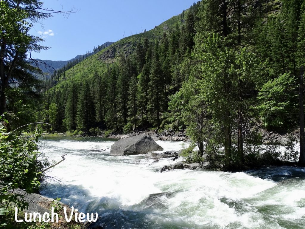
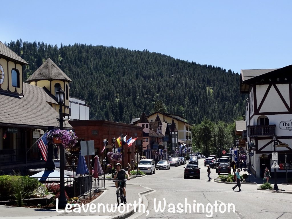
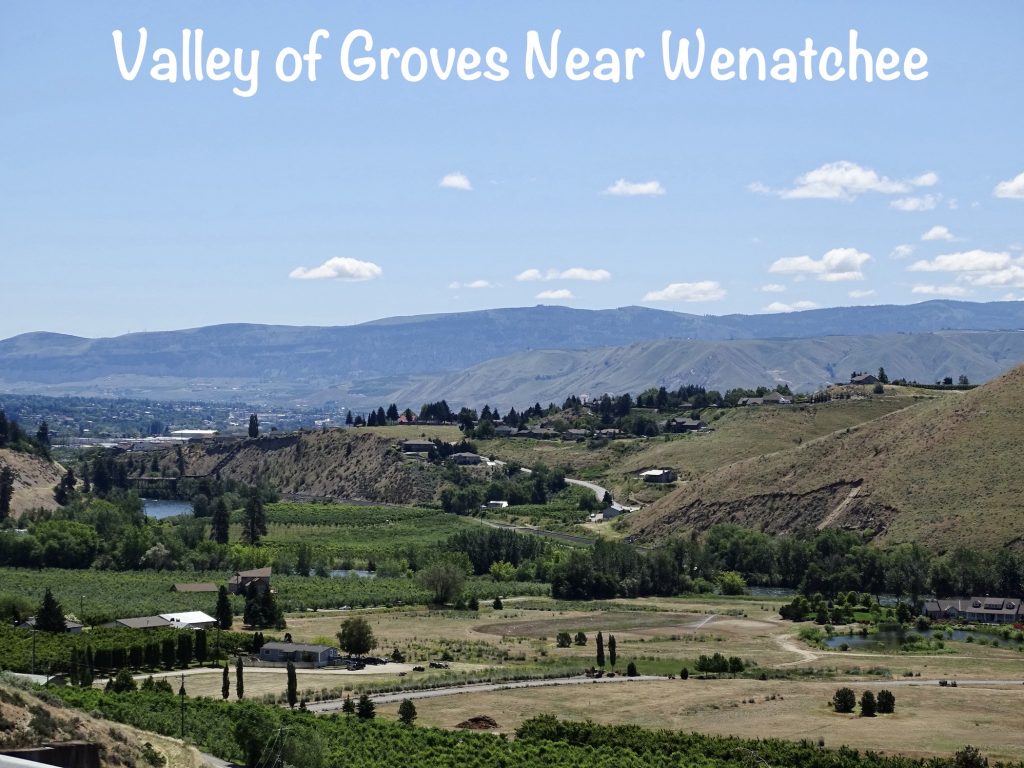
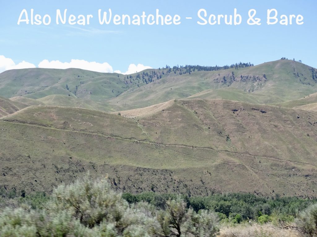
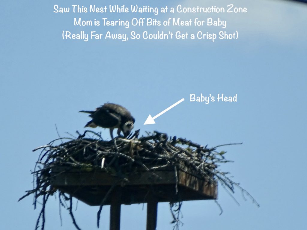
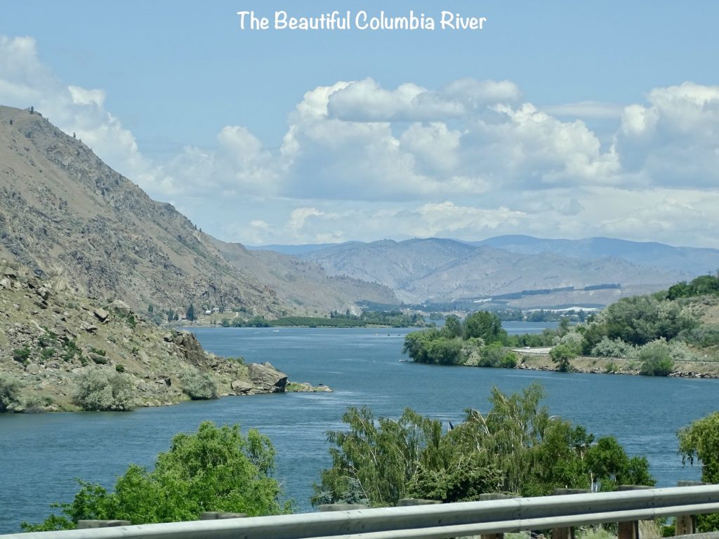
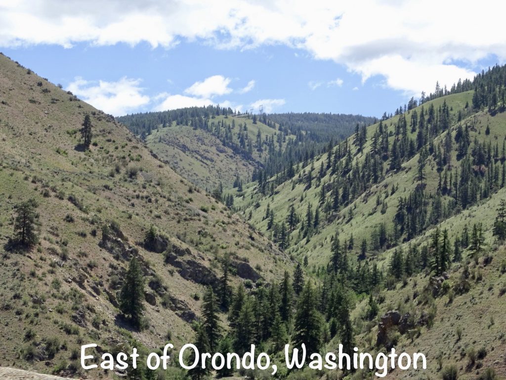
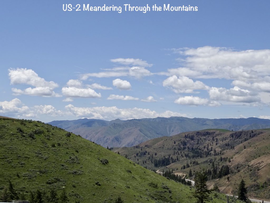
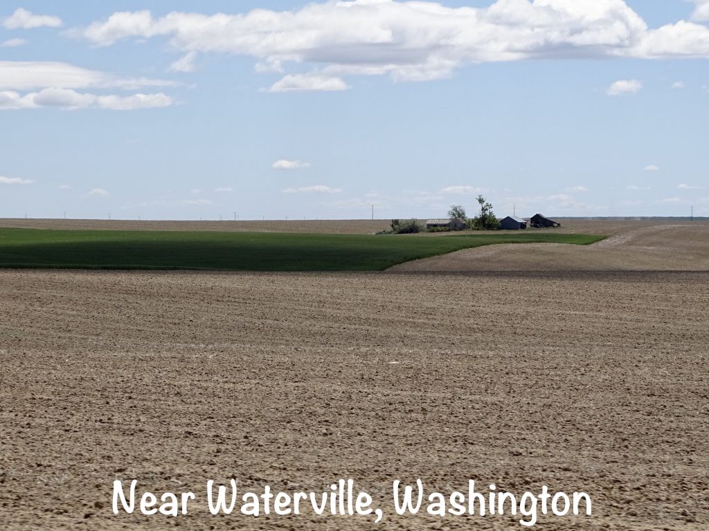
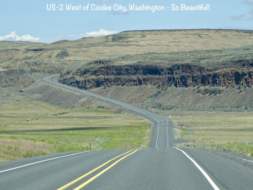
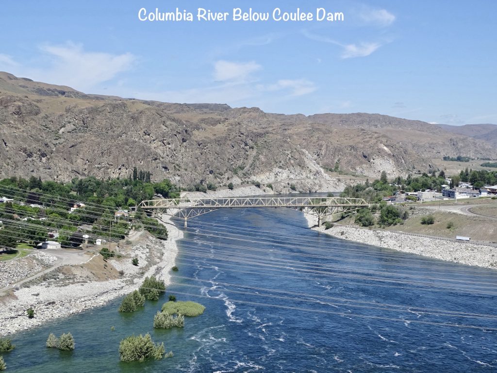
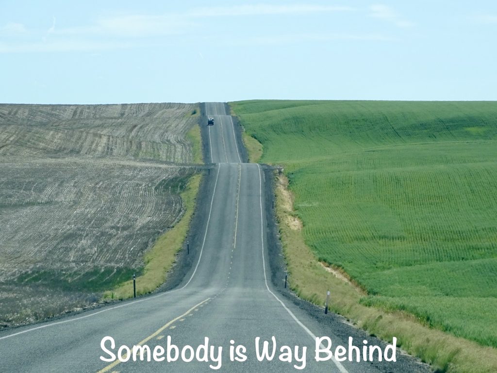
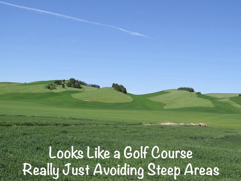
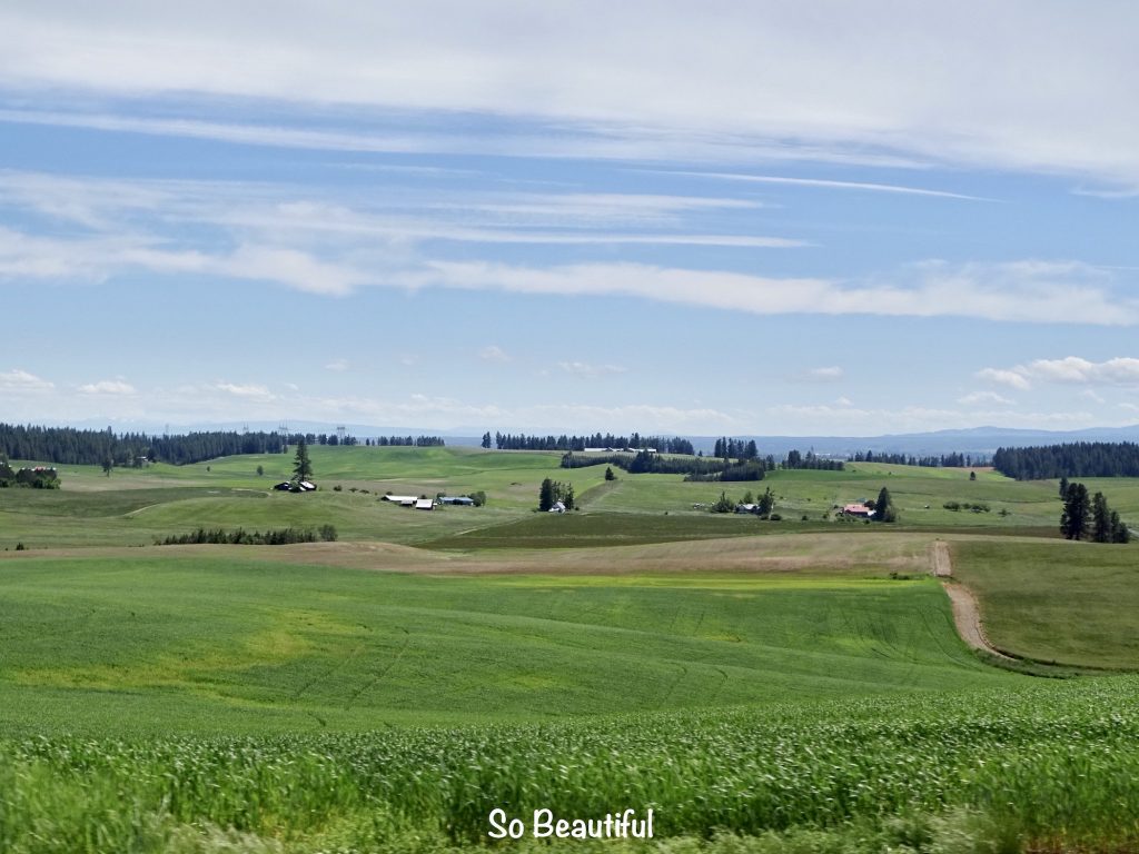
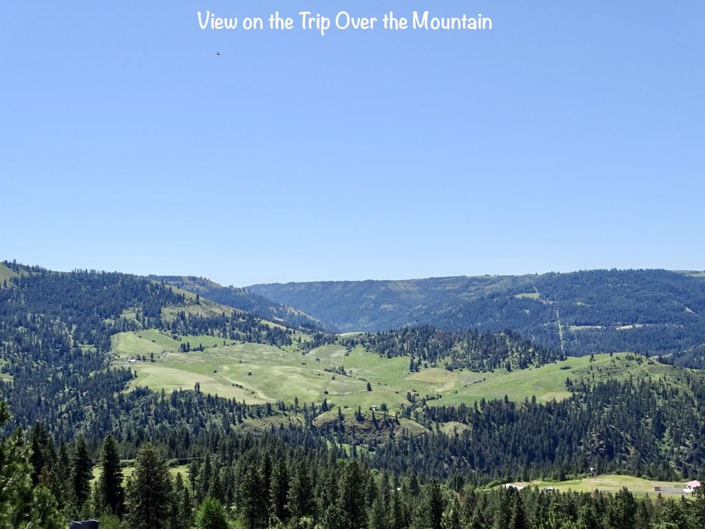
Monday, June 20, started out overcast as we hit the road about 9 AM. We took WA-522 up to US-2. We passed through Skykomish and crossed over Stevens Pass in the soup and occasional drizzle. At 4,055 feet, it was still pretty cold with areas of leftover snow. Right beyond the pass, the weather began to lift, and soon we were in mostly clear skies and sunshine. Just prior to Leavenworth, Washington, we stopped at a pull-off for lunch. Mr. Wonderful (MW) found a short path through the woods that led us to a beautiful spot on a rock by the river. We watched an osprey on the hunt and enjoyed the scenery. Back on the road, we passed through town, which has a Bavarian flare that reminded us of Helen, Georgia, but on a much grander scale. Sadly, we didn’t see parking for the rig, so we weren’t able to take a look around. It seems like a nice destination place, though, with lots of shops and things to do near where the Wenatchee River and Icicle Creek meet. Before the north side of Wenatchee, the landscape began to change drastically. We passed through a fairly large area of apple and cherry trees, then on into mostly bald mountains with lots of scrub. As we crossed the Columbia River and continued to follow US-2 through Orondo, those gave way to vast, rolling farmland, where the only thing you can see is a house/barn in the distance and miles of cultivated fields. Nearing our destination, the land suddenly became rugged again. At Dry Falls Dam, we turned south on WA-17 and headed down to Sun Lakes – Dry Falls State Park.
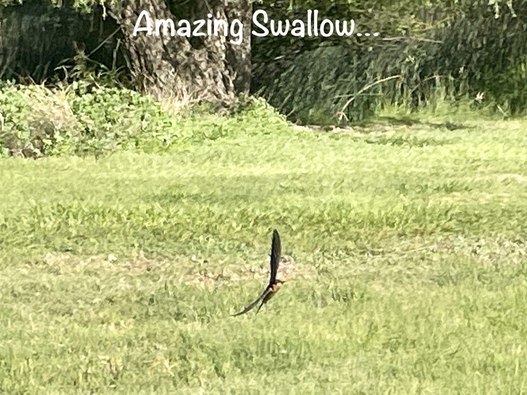
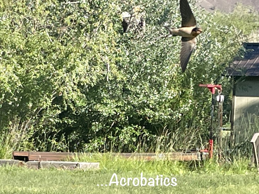
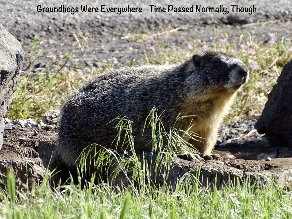
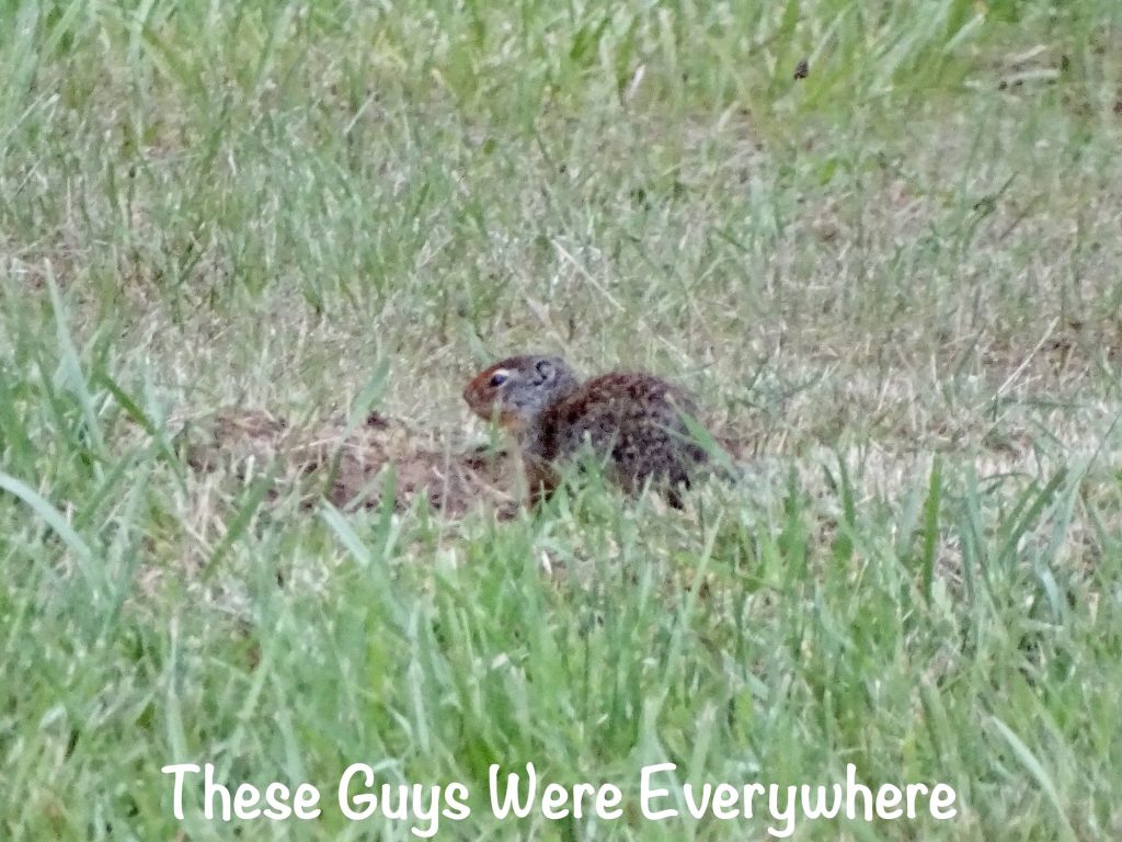
I started Tuesday with a short walk around the park. As I approached the day use area, I saw a bunch of animals running for the woods. They turned out to be groundhogs. I managed to get a pic later when we headed out. There was also a field where the swallows were on the hunt with amazing maneuvers.
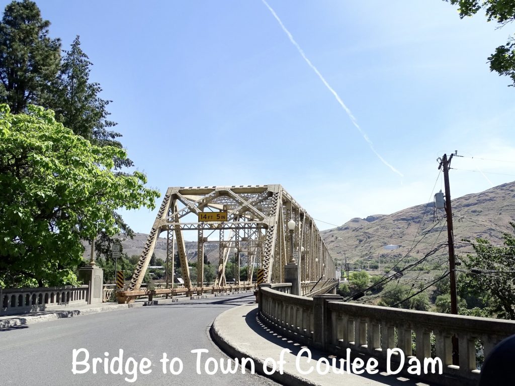
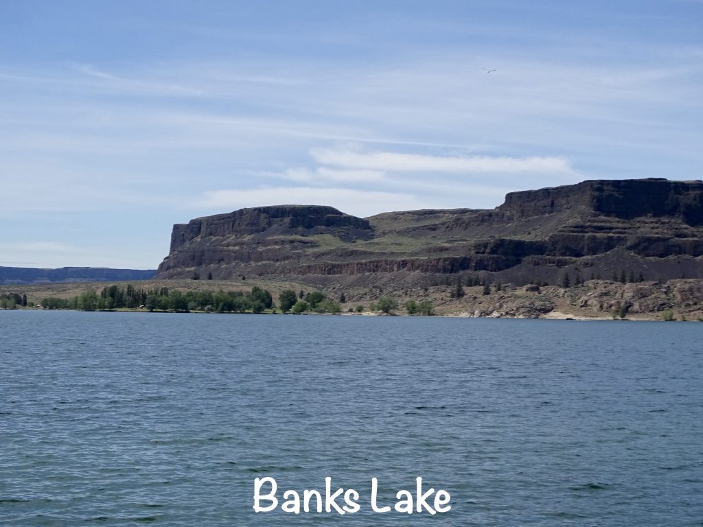
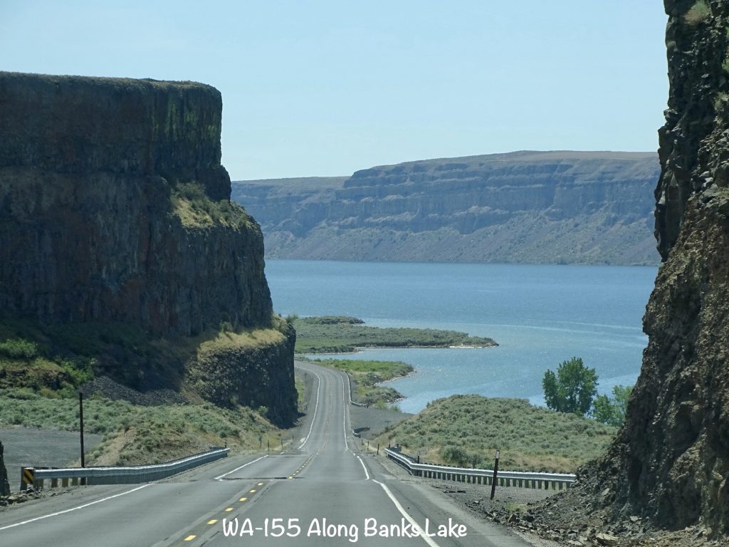
Unfortunately, our new park had very little cell signal. We could get texts and possibly make a phone call, but the data was EXTREMELY slow. That meant I would need to find someplace to work. But first we had a little tour planned. We headed back up and across the Dry Falls Dam to Coulee City, Washington, where we stopped in at Banks Lake Brew & Bistro for something to drink. OMGosh, the deliciousness they had on display. Turns out this place that you think is a convenience store with gas pumps is actually a true bistro that serves breakfast, lunch, and homemade pastries. (I’ll admit, I took the most beautiful cinnamon roll with me. It tasted incredible, too.) Back in the truck, we headed north to check out a whole lotta concrete.
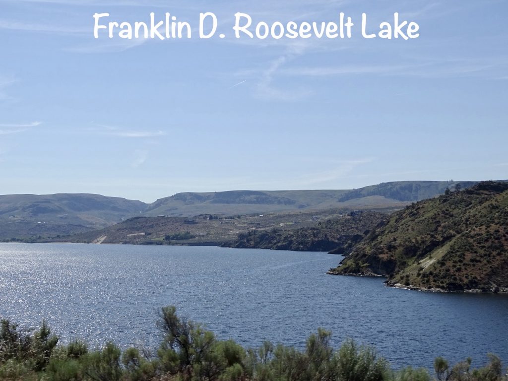
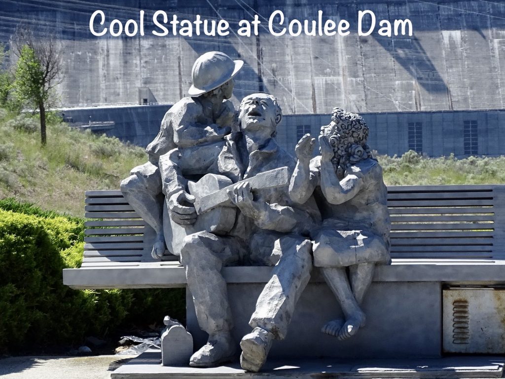
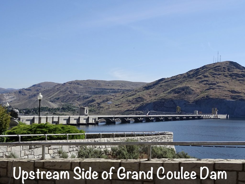
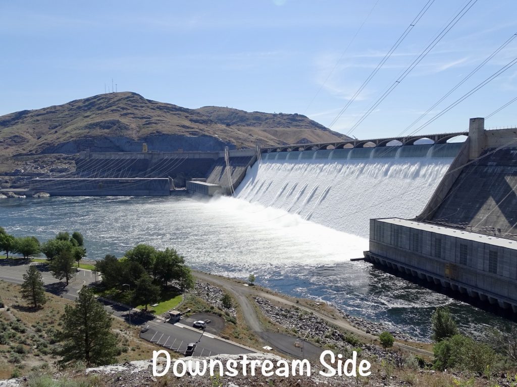
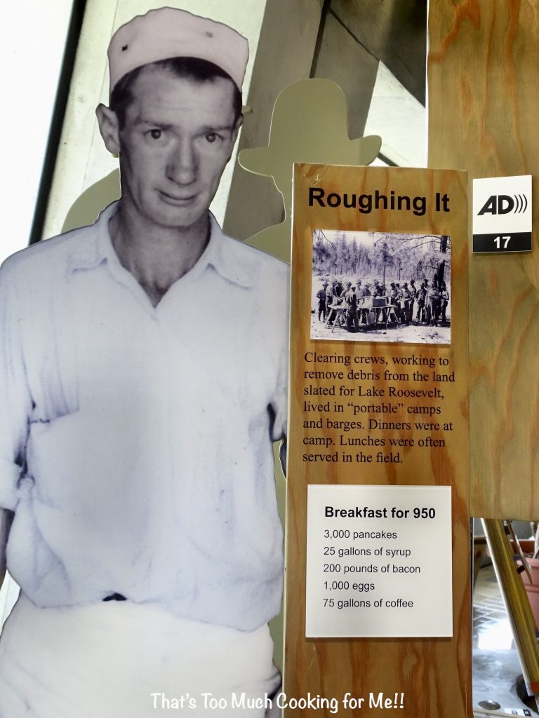
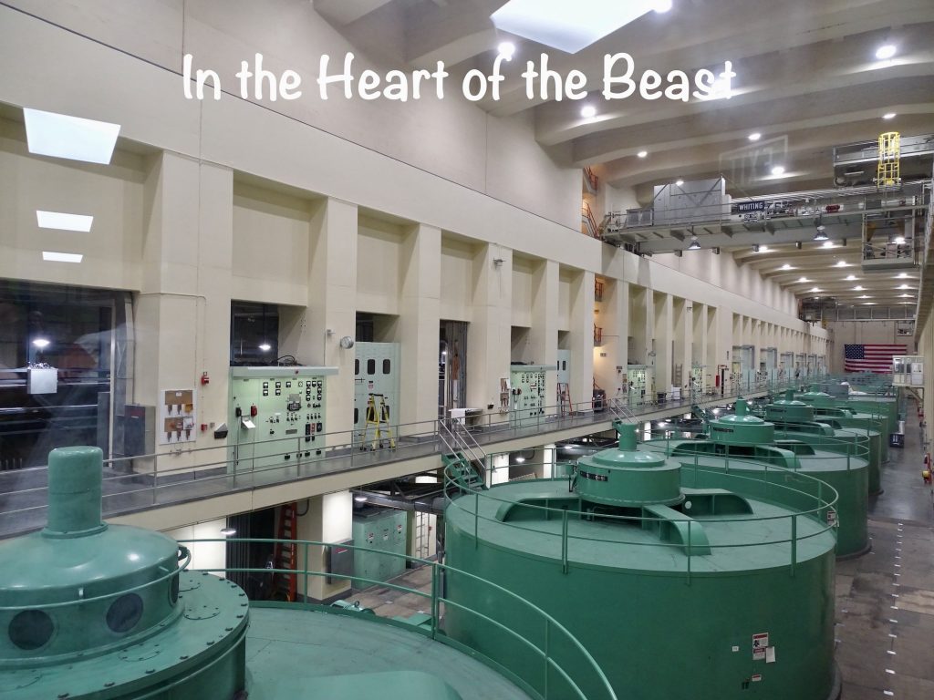
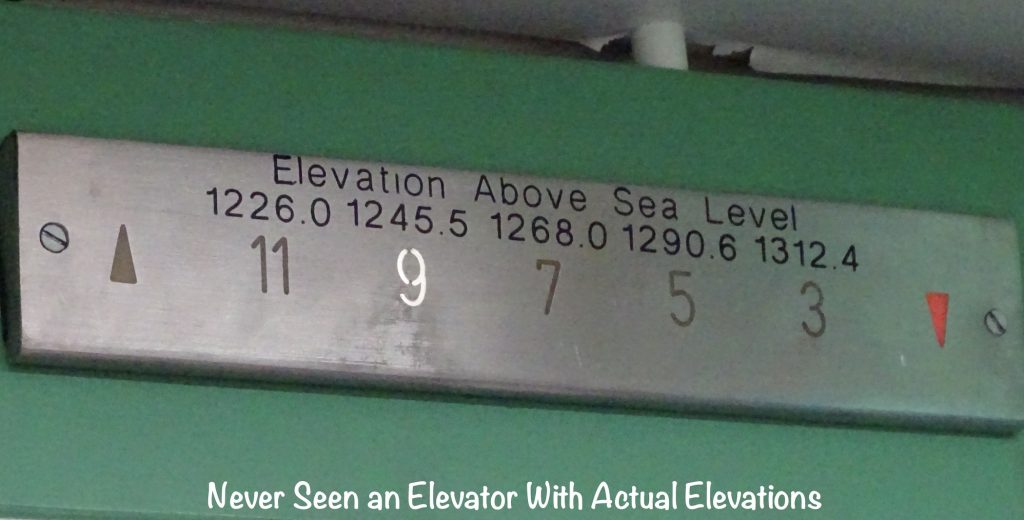
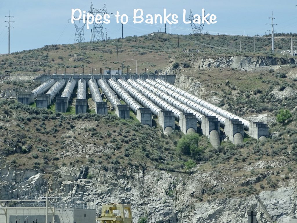
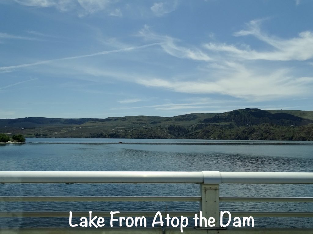
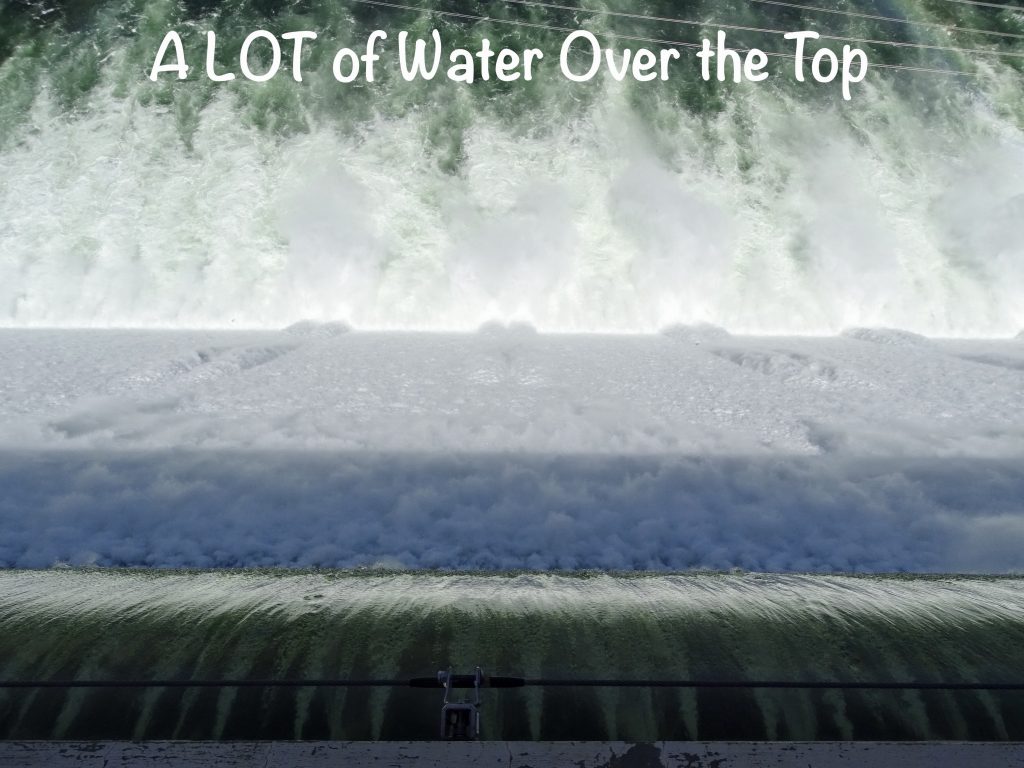
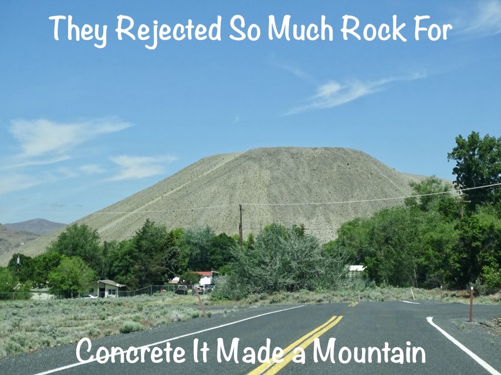
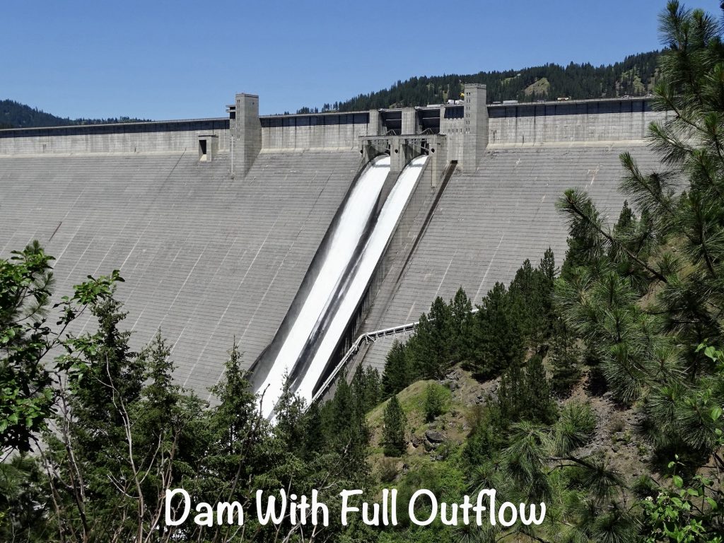
Grand Coulee Dam, a gravity dam, is one of the largest concrete structures in the world (11,975,521 cubic yards) and the largest hydropower producer (6,809 megawatt capacity) in the United States. The electricity it generates provides power to Washington, Oregon, and Idaho and parts of Montana, California, Nevada, Utah, Wyoming, and Canada. It is a behemoth at 550′ tall and 5,223′ long. That’s almost a mile! It was built in the same time period as Hoover Dam (726′ tall, 1,244′ long) with 3.5 times the concrete. Construction began on the dam in 1933, and it took 8 years to complete the original section. It is probably the only dam responsible for filling TWO lakes. The 151-mile-long Franklin D. Roosevelt Lake was created by building the dam, and water is pumped through a dozen massive pipes up over the mountain and into a canal to fill Banks Lake, the northern 27 miles of Grand Coulee (canyon for which the dam is named). Why? Because despite its huge hydroelectric capacity, the primary purpose for this giant structure has always been irrigation. The electricity required for WWII-related manufacturing delayed the initial plan, but in 1948 construction began on irrigation facilities, and the giant pumps began sending water over the mountain in 1951. From there, it can be sent to 670,000 acres of farmland in the Columbia Basin of central Washington, from which crops are sent across the United States. Cool, huh? Even cooler is the fact that, during peak periods of demand, they can reverse the water flow to create more electricity. Genius! In 1967, they added a third powerplant and upped their production to current levels. Both lakes provide terrific recreational opportunities for the area, but creation of this giant dam was not all roses. Although the tribes were compensated for their land at the time, many important tribal areas of the Colville and Spokane Indians were covered up by the lake, forcing relocation of burial sites, settlements, and ceremonial lands. (Since then the government has paid out millions to both tribes and has agreements that continue paying huge sums annually in perpetuity.) Additionally, the dam kept fish from returning to their land to spawn, erasing a large part of the tribes’ way of life. Three fisheries were created above the dam that feed into the Columbia River and the hatchery on Icicle Creek in Leavenworth was built to supplement salmon and steelhead numbers in the creeks and tributaries below Coulee Dam. The dam offers several free guided tours a day with minimal walking, and it was definitely pretty neat.

On the way back through Coulee City, we stopped in at Couleegan’s Bar & Grill for late lunch, then MW left me there for a while to work. The place was empty and pretty quiet, and the manager was awesome. At about 3:30 PM, lots of locals started showing up for Tuesday bingo, which is apparently a big deal and pretty darned competitive. What a great idea for a bar! MW picked me up about 5 PM. On the way back to Petunia, we stopped in at the Dry Falls Visitors Center.
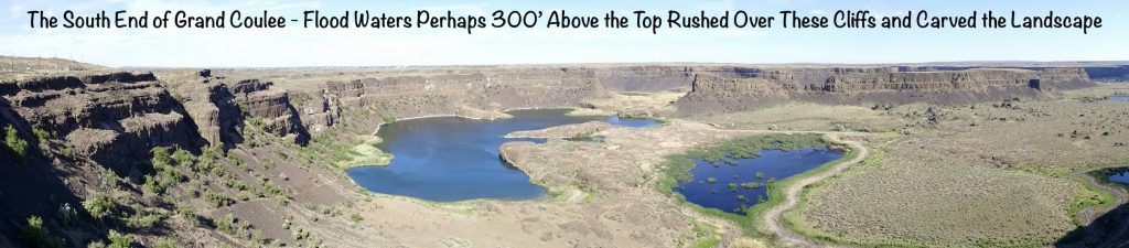
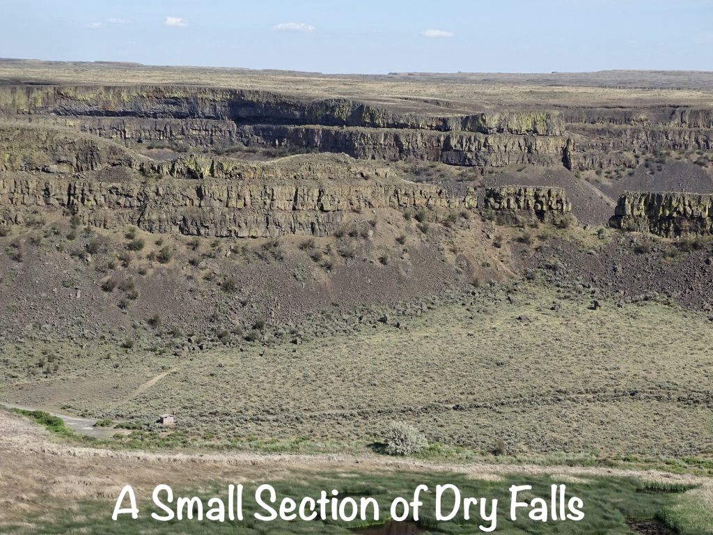
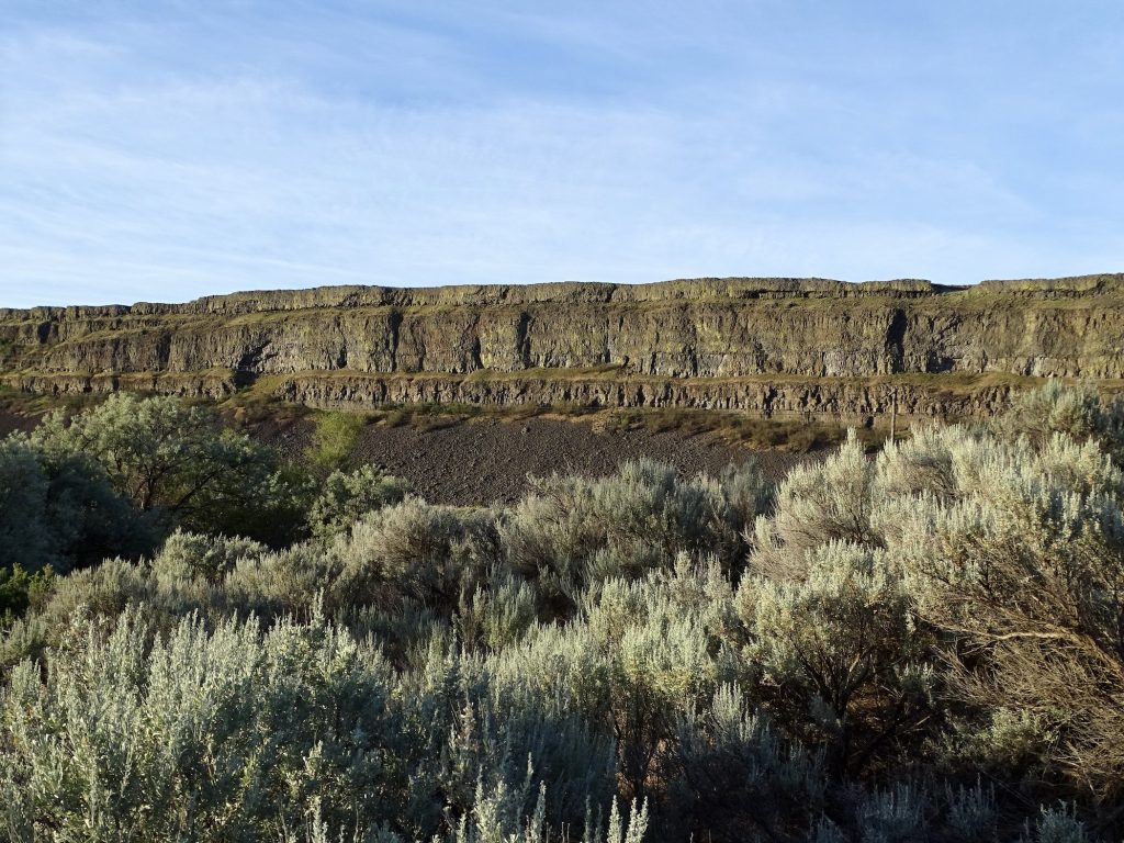
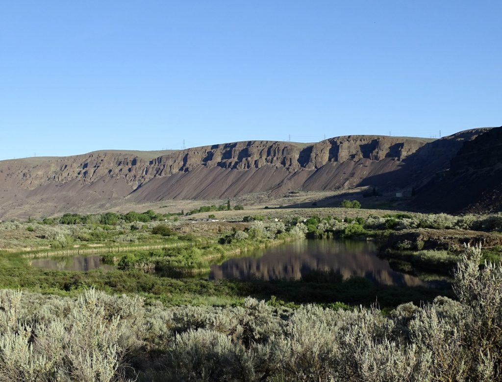
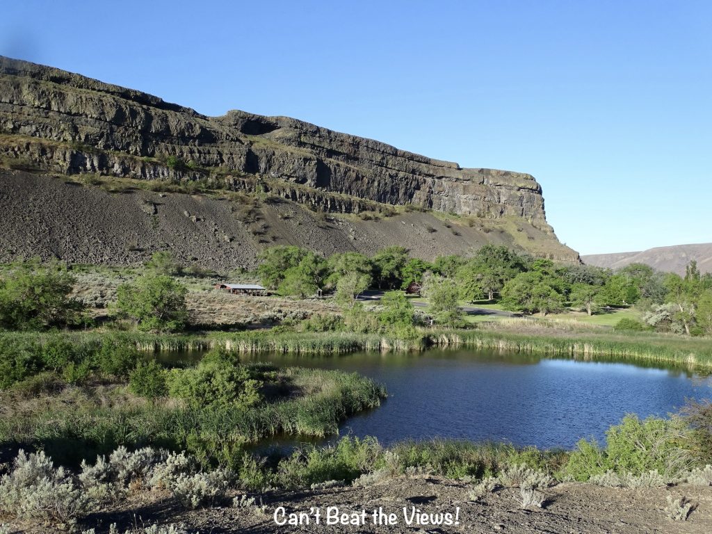
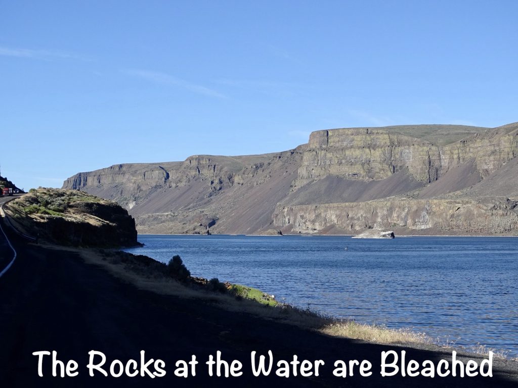
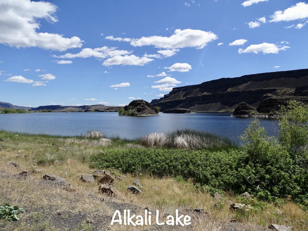
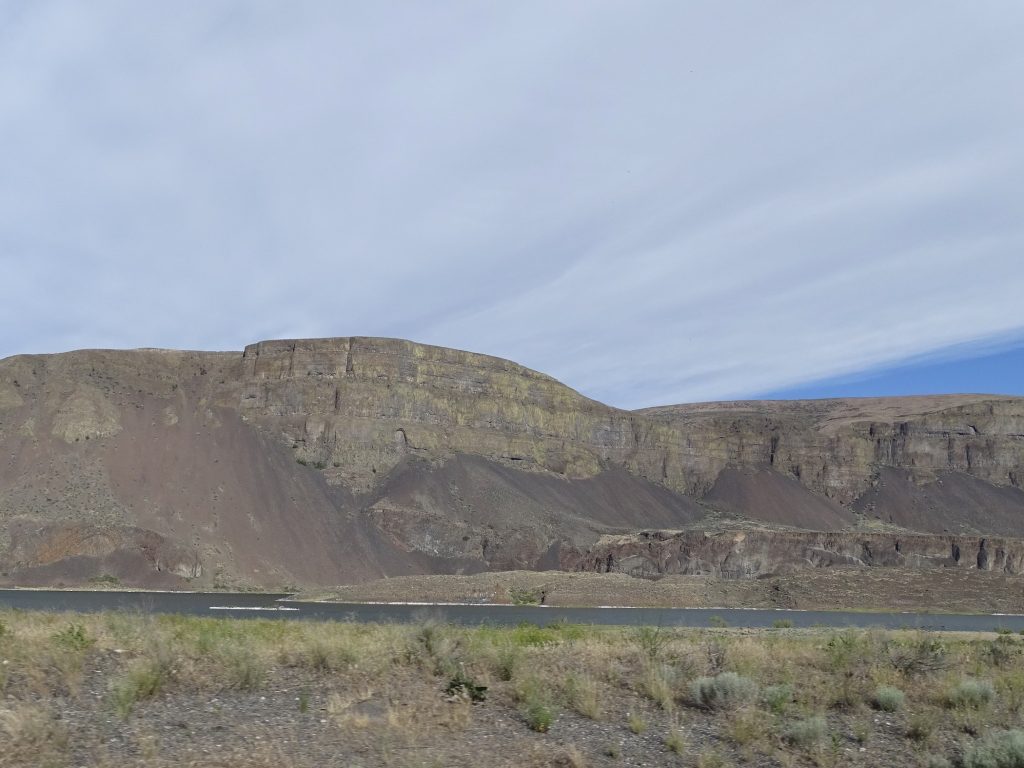
This area was created by a giant flood. I know. That sounds crazy. Thousands of years ago, three fingers of the Cordilleran ice sheet extended into the Pacific Northwest. The Puget carved out Puget Sound, the Purcell on the Idaho/Montana border, and the Okanogan in this area. As the glacier advanced south, it blocked up the Columbia River and made a giant lake that rose to 2,300 feet above sea level. At the same time, the Clark Fork River was blocked near the Idaho Panhandle creating Lake Missoula, which was 2,000′ deep and contained more water than Lake Erie and Lake Ontario combined. When the pressure built up too much for the ice wall to contain it, the lakes burst through. The result was a fast-moving flood of epic proportions. Soil was stripped away and huge coulees (canyons) were carved in its path, creating what is now called the Channeled Scablands. In this area of the Grand Coulee, there were two cascades that cut deeper into the landscape. The first was an 800′ waterfall that carved out the valley near the current Grand Coulee Dam. The second eroded the southern end of Grand Coulee and created what is now called Dry Falls, a waterfall that was 400′ high and 3-1/2 miles wide. That is FIVE TIMES the width of Niagara Falls!
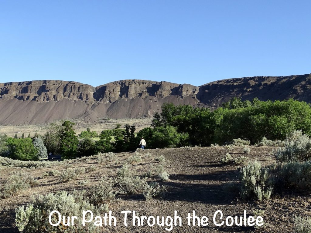
Wednesday MW and I were up and out early to hike one of the park trails. The views were amazing, but the mosquitos had eaten me alive by the time we made it back to Petunia a little more than an hour later. (For some reason, they didn’t mess with MW. I guess I’m just sweeter than he is.) Despite the little buggers, it was a beautiful morning.
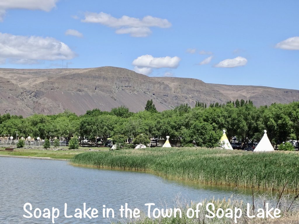
After getting cleaned up, I headed down to Soap Lake, Washington, to get the laundry done. Afterwards I couldn’t find anywhere to park and work for a while, so I drove back up to the Banks Lake Brew & Bistro (the place of the delicious cinnamon roll previously discussed) in Coulee City. Okay, not kidding at all when I say this place is THE BOMB. They make everything fresh, including all of the bread! I had a Chicken Bacon Panini and pasta salad for lunch, then sat there and worked until 3 PM, when they closed. Because I’m a nice wife, I took MW the same panini for dinner. He was a happy camper!
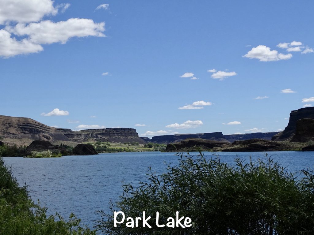
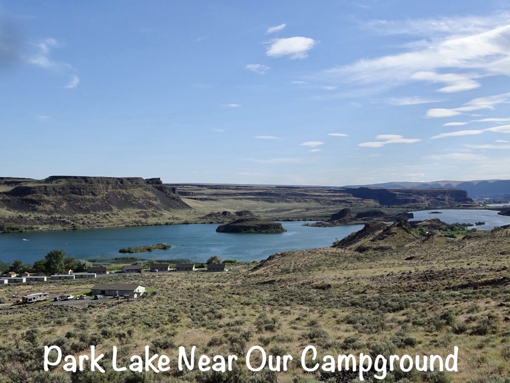
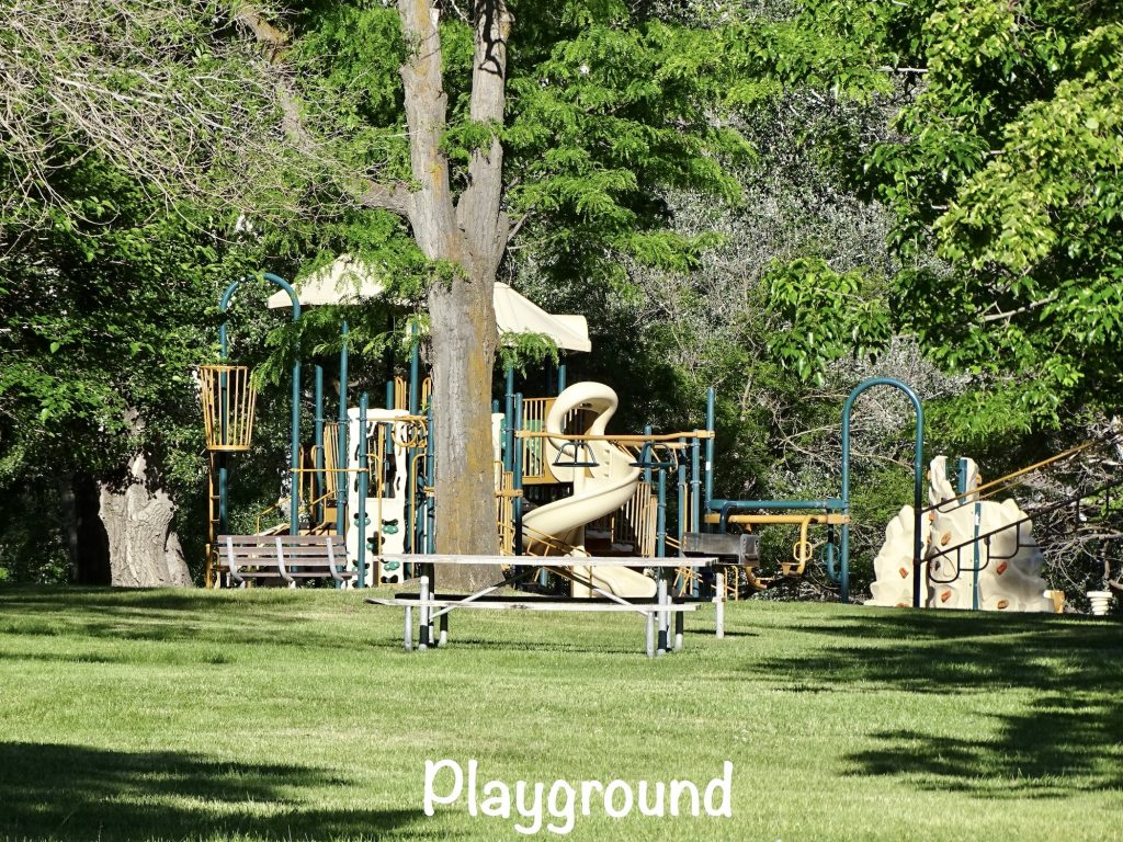
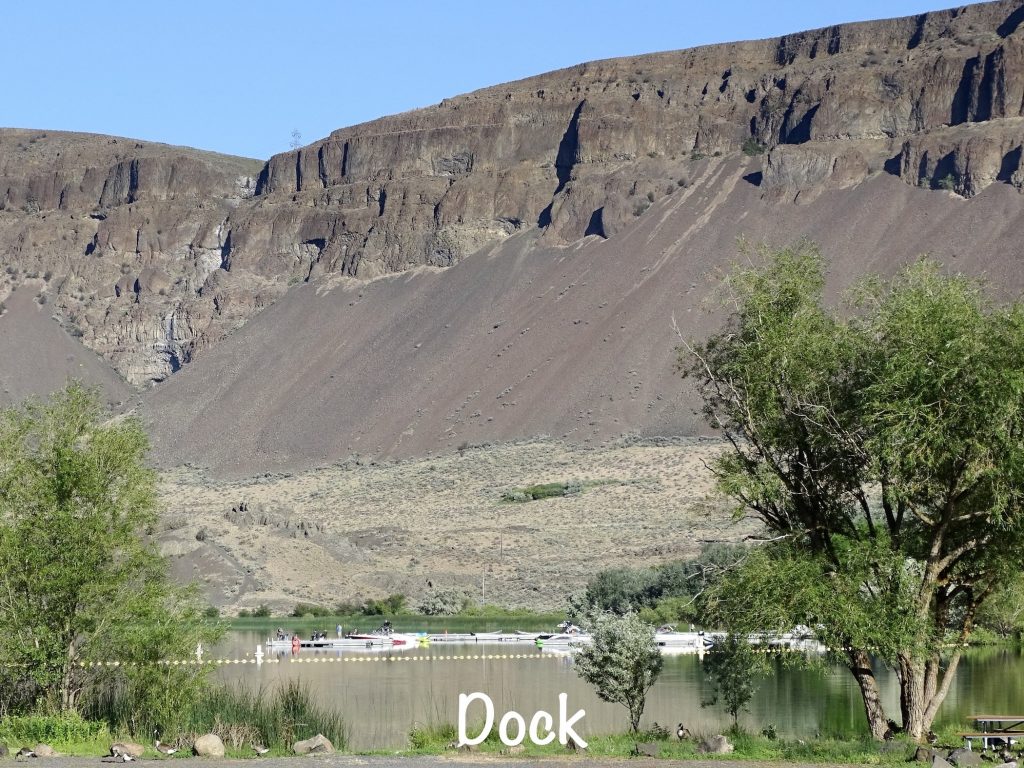
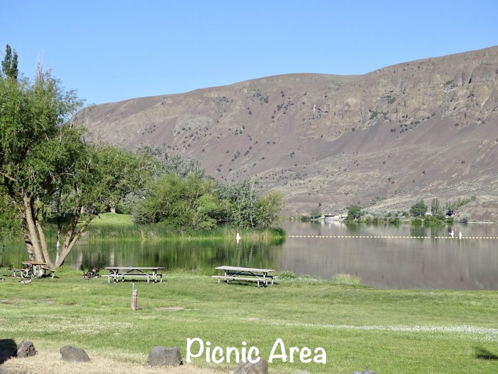
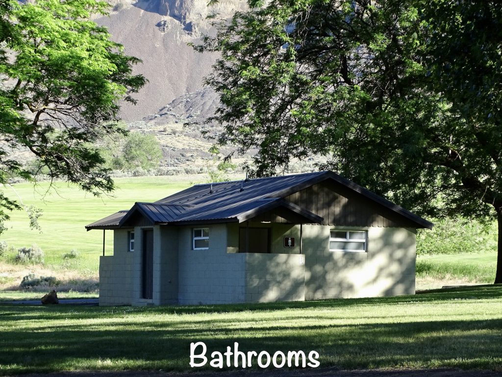
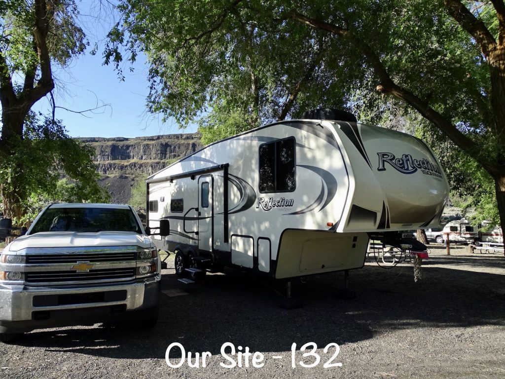
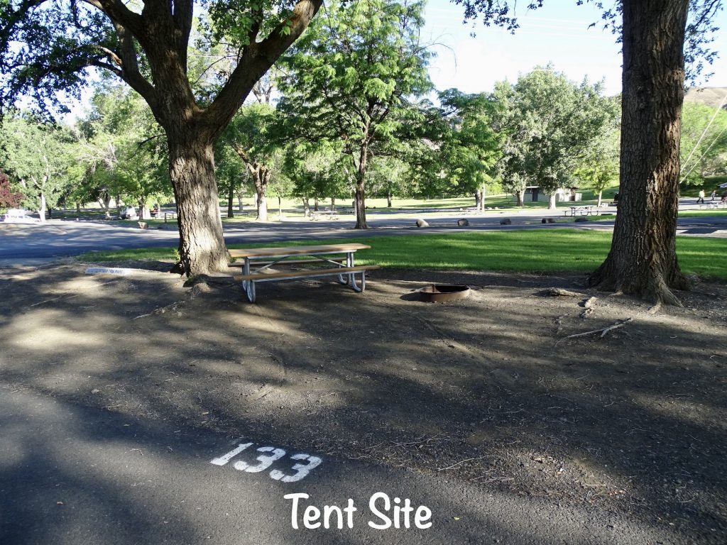
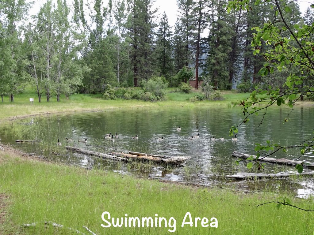
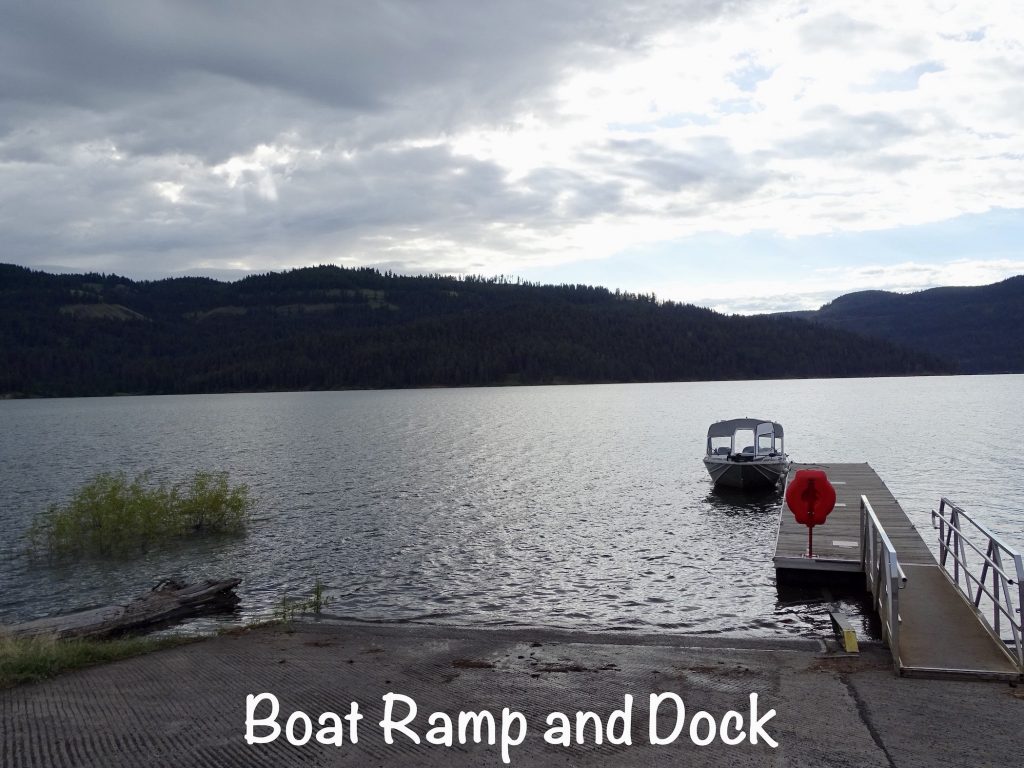
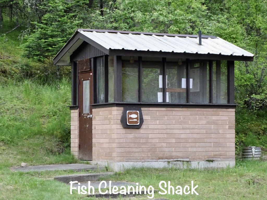
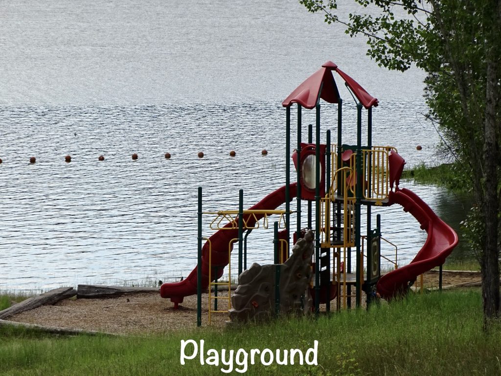
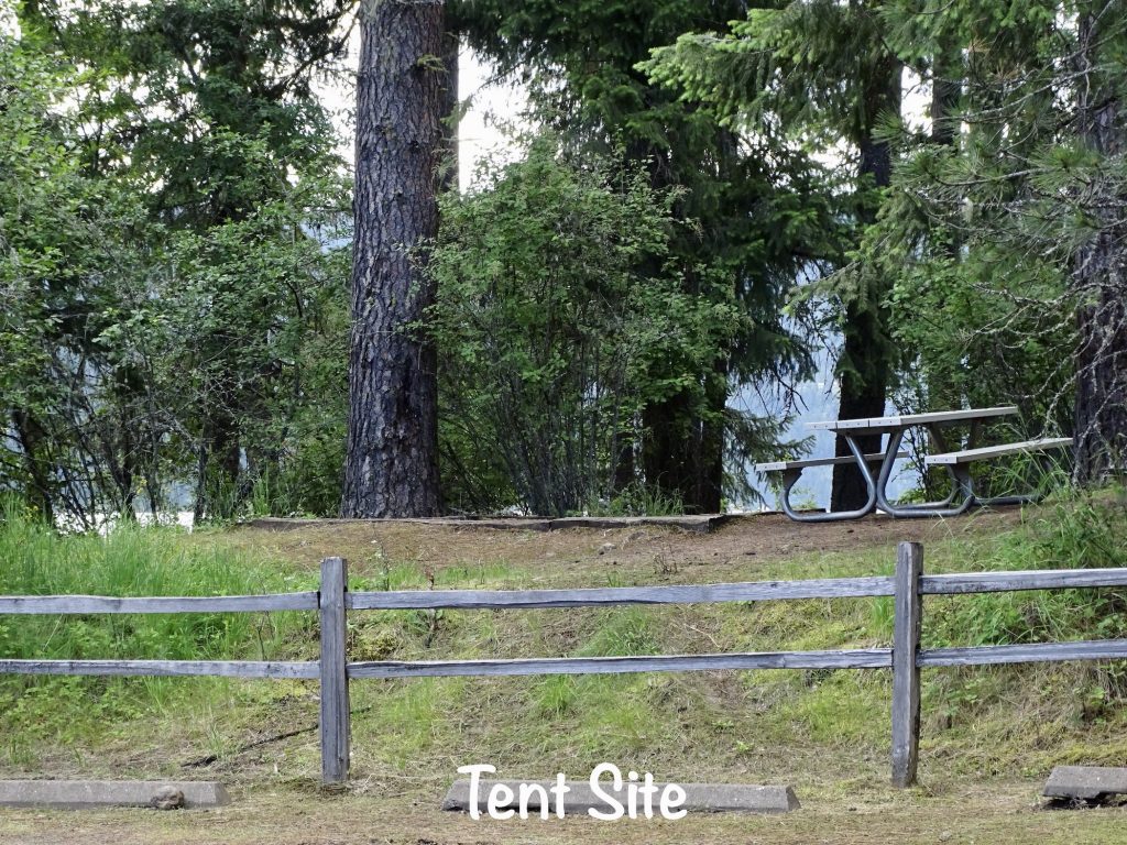
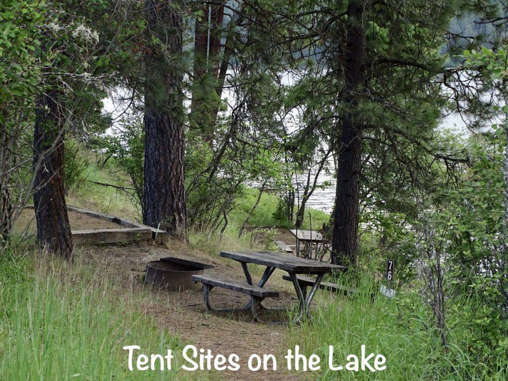
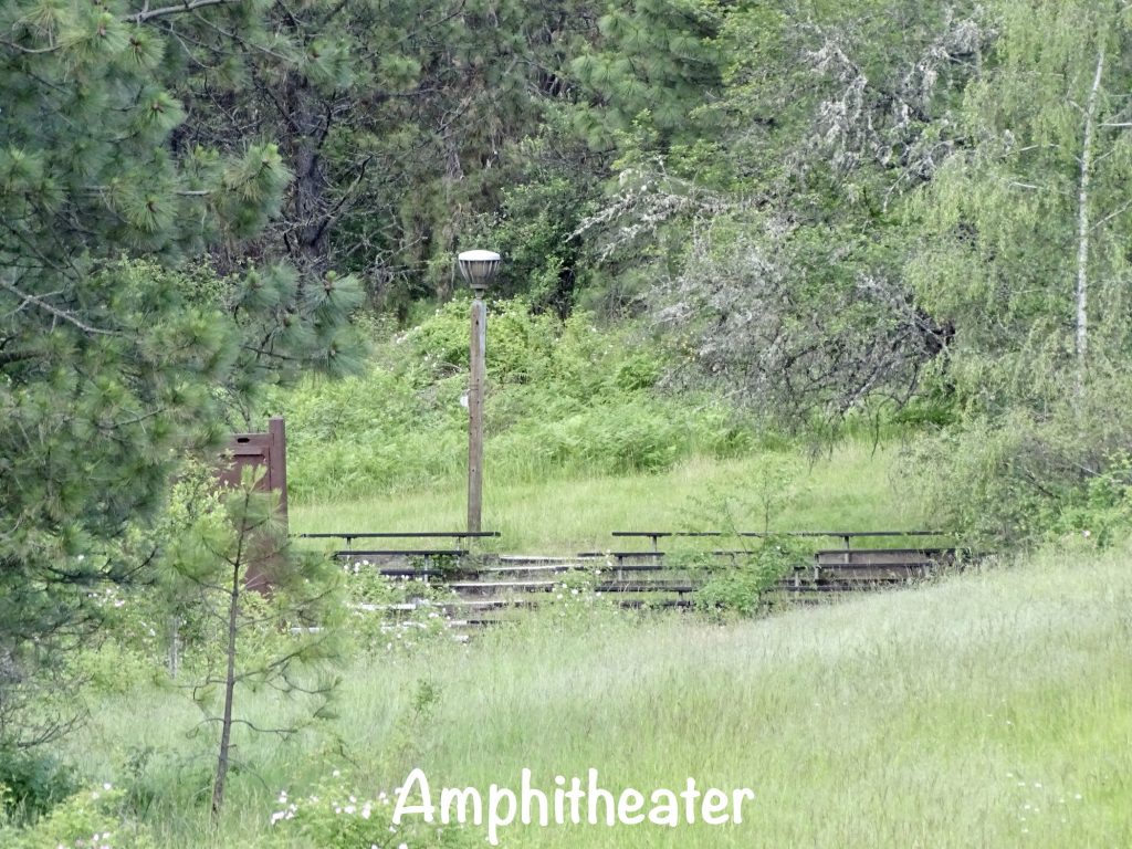
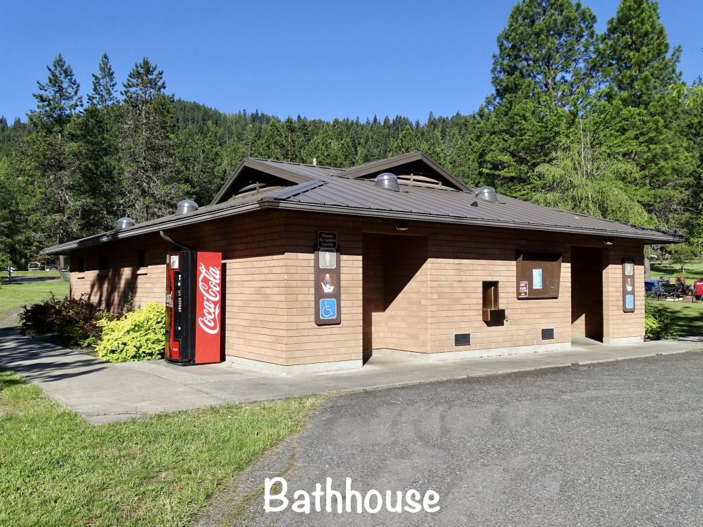
Sun Lakes – Dry Falls State Park is a beautiful park with lots of trees that is very well kept. Sitting in the Grand Coulee and surrounded by the cliffs of Dry Falls, the scenery is spectacular, and there are 15 miles of hiking/biking trails and lots of roadways to view it from. Within the 3,774-acre park you can access 15 small lakes with an assortment of boating and fishing opportunities. Amenities include docks, a fish cleaning station, boat rentals and launches, a playground, swimming area, picnic areas, amphitheater, horseshoe pits, park store, laundromat, propane, golf at the Sun Lakes Park Resort, and the Dry Falls Interpretive Center. Camping options include a tent-only group campground, 96 standard sites (mostly tent), and 41 full-hookup sites. Our site was 132, which appears to be a tent site that was converted to RV use. Had there been someone parked at the tent site across the street, we would have struggled to get in/out due to length of site and tree placement. Rigs larger than our 31′ fifth wheel would have had a very hard time. I forgot to drive back and check out the other loop, but it has 31 full-hookup sites, and that is where all of the big rigs were headed. The bathhouse was clean, and the park was well-kept. Cell signals for AT&T and Verizon were both weak, but stronger in the morning. To work, I definitely had to head to town. There was no over-the-air tv down in the hole, though. It is very peaceful, although there was a little road noise. Note that the wind can be pretty strong sweeping down through the coulee, and there are constant wind advisories on the park website. We would stay again. It was pretty expensive for a state park, but that applies to most of Washington state. For this stay in June 2022, we paid $163.00 for 3 nights.

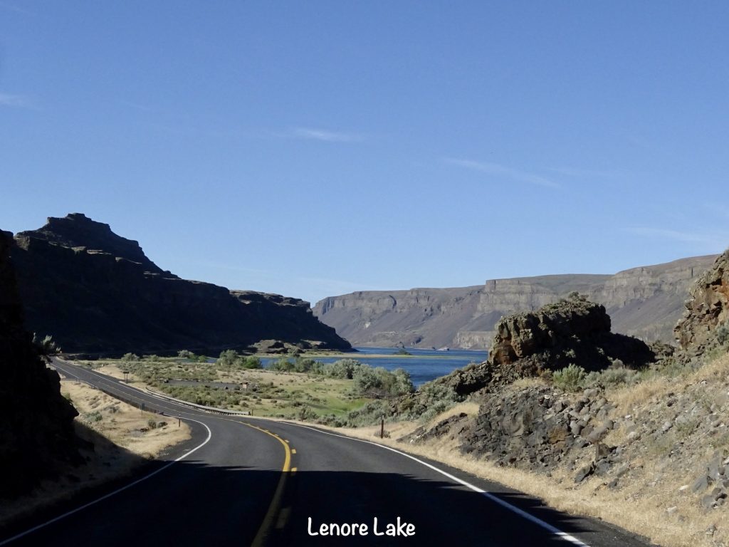
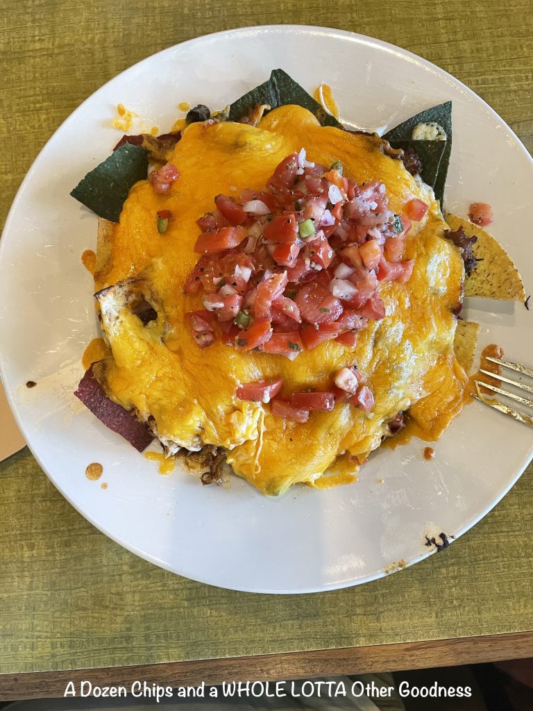
Thursday we left around 7:30 AM for a long driving day, heading south to Soap Lake, where we caught WA-28 east. Side road to Mohler, then WA-23 southeast to Steptoe, Washington, where we took US-195 down to Pullman. There we stopped at the South Fork Public House, mainly because they were in a plaza with a giant parking lot. What a find. We sat in the bar section, and Luke, the bartender, was amazing. Turns out he is finishing up his last year at Washington State University and will be moving to Marietta, Georgia (our old stomping grounds) to go to Life Chiropractic College. (He will be the third generation of chiropractors in his family!) Oh, I almost forgot the food…fabulous! MW had a burger with homemade pasta salad, and I had the BBQ Nacho appetizer. I’m not exaggerating at all when I say it was mostly topping with a few chips. I ate about 1/3 of it, then ate the rest of the topping with scoops the next day. Still delicious! They also had 24 taps with a good beer assortment. (MW had a vanilla porter that was good, but he can’t remember the name.)

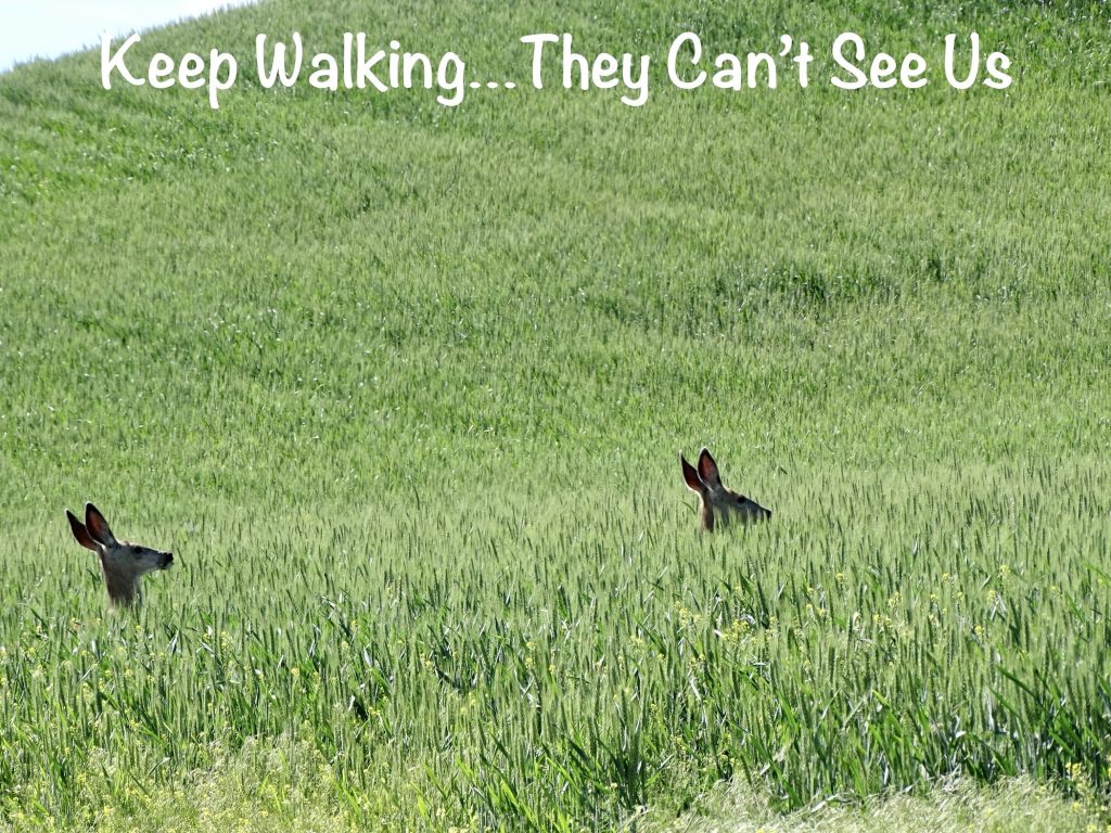


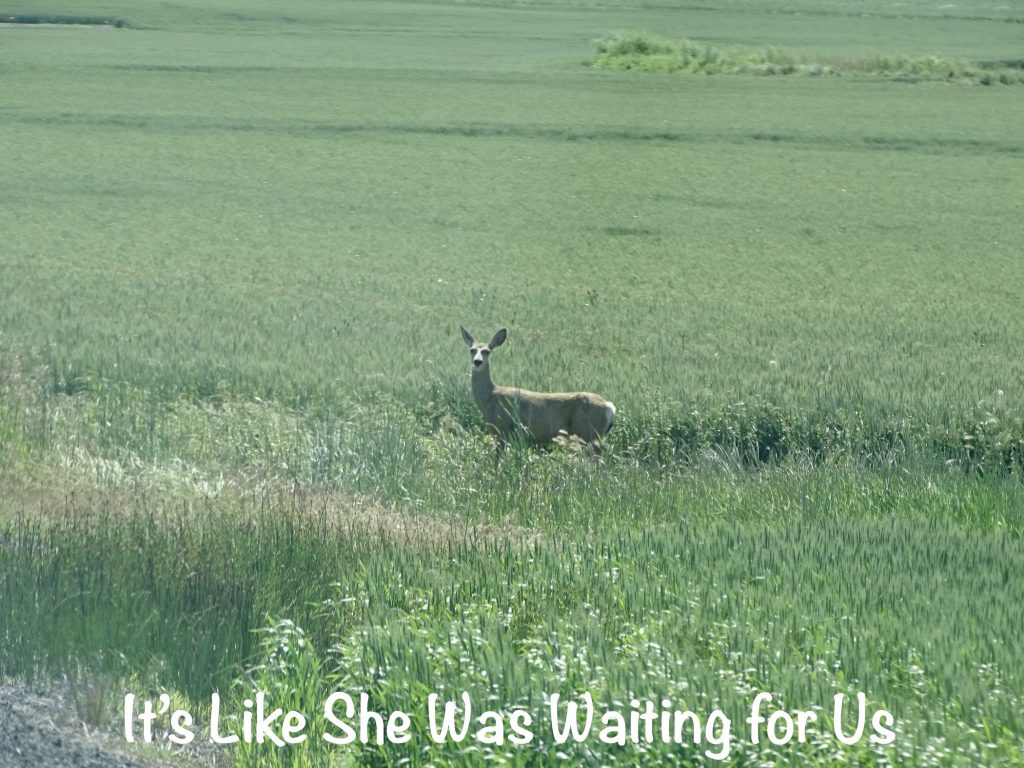

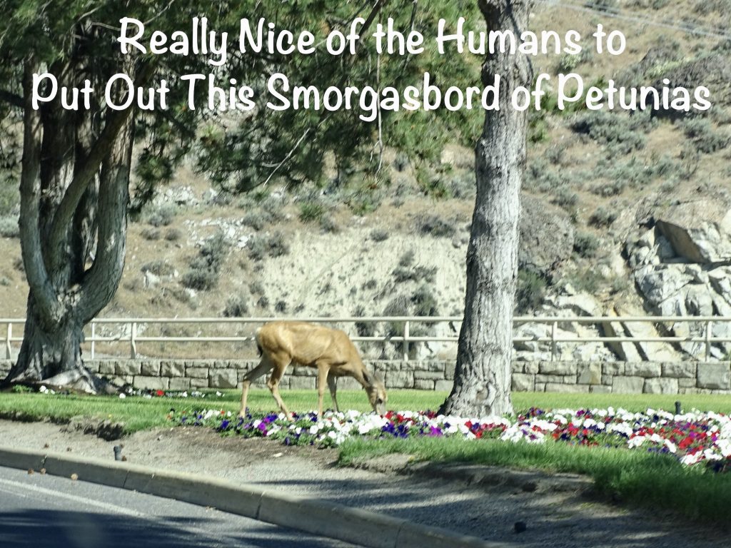
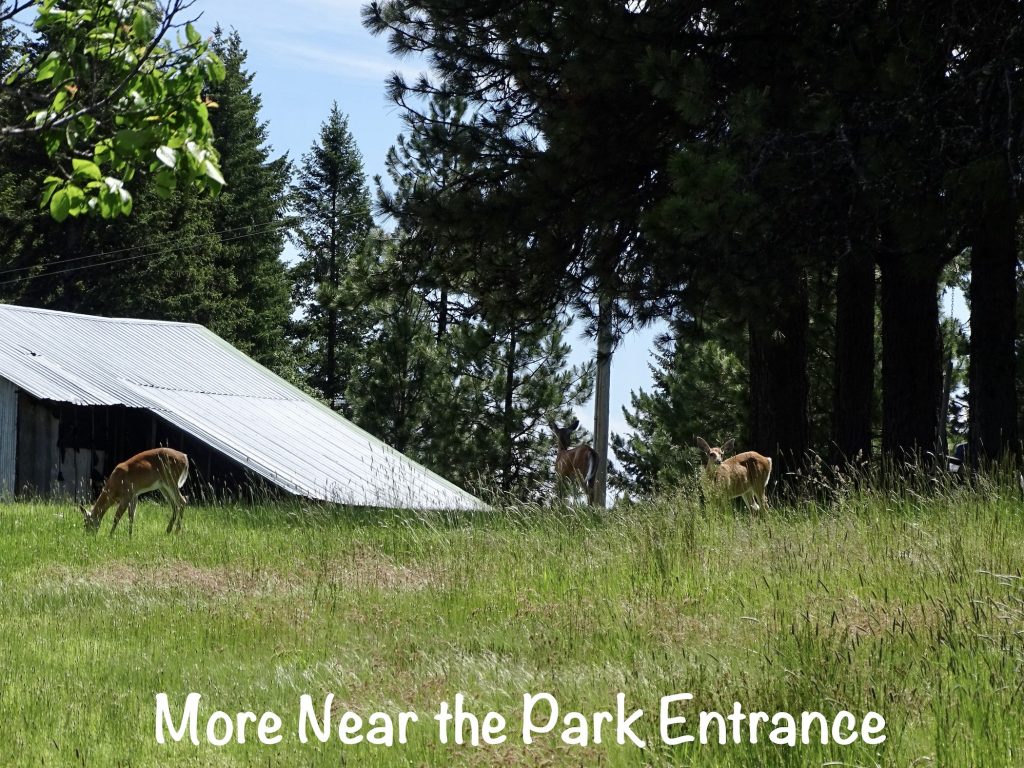
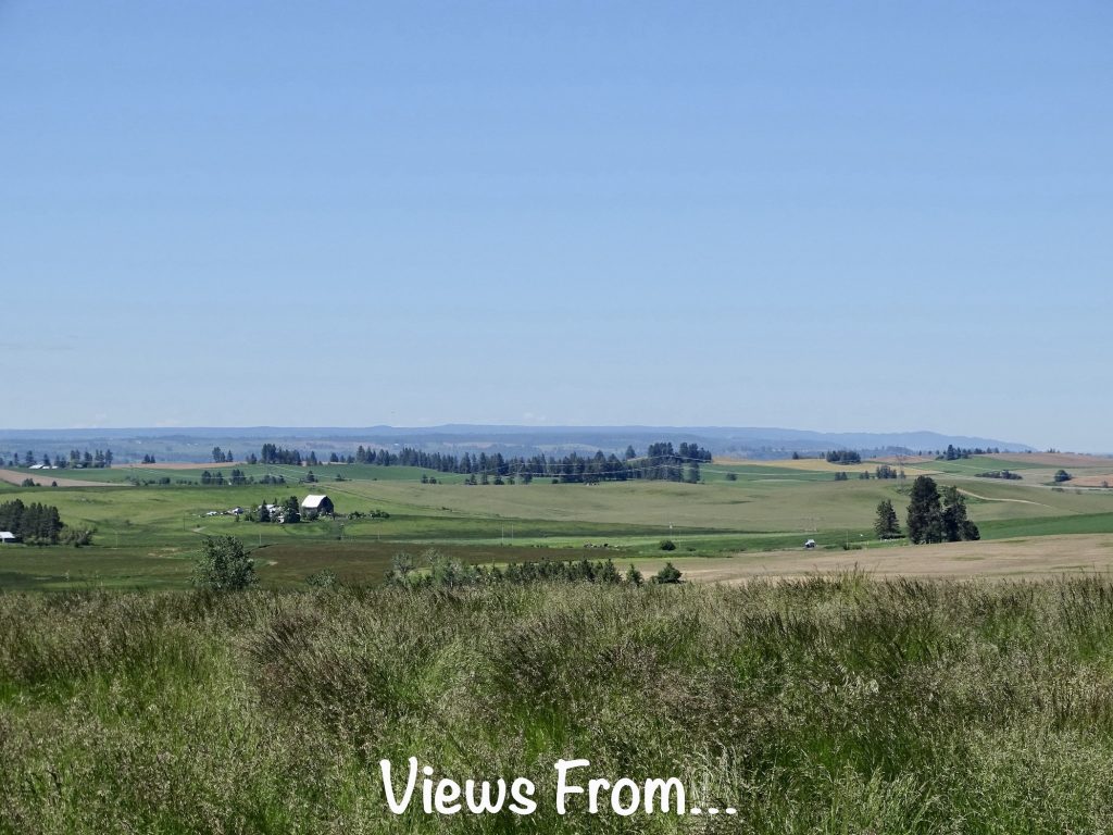
Full, we continued our trek east on WA-270, which became ID-8 at the border. In Moscow, Idaho, we stopped at WinCo foods to pick up a few groceries and walk a bit. Then, a few miles past town, took ID-99 to ID-3 at Kendrick. From there, we zig-zagged for another 25 miles, the last couple of which were tight switchbacks, and finally arrived at Dworshak State Park. It was a gorgeous day for a drive. The very beginning of the drive was the cliffs of the coulee, but it quickly turned to beautiful, rolling farms and ranches, and later gave way to the mountain forests again. We had been on the road about an hour when I noted that we hadn’t been seeing much wildlife on the drives lately. Almost immediately, we started seeing deer everywhere.
Friday we took a good walk around the park and found a trail for the next day’s hike. We checked out the park information boards that talked about the area. It was interesting to see the animal descriptions. Among lots of other things, there are Rocky Mountain Elk, Moose, Grey Wolves, and Mountain Lions in the area. You may remember the safety information given to us in California for handling cougars…hike loudly and if you see one, get big, make a lot of noise, throw rocks, don’t bend down. Don’t worry, though, because they only hunt at night. (Ahem…Doesn’t everyone carry a pocket full of big rocks when they hike?!) In Idaho, they have a little different approach. First, they tell you the truth: those big cats hunt whenever they darned well please and don’t care whether it’s dark or light out. Following that, they give tips on how to get a glimpse of wildlife, including mountain lions, starting with: “Wear natural colors and unscented lotions and deodorants. Walk softly and speak quietly.” I can’t tell whether the Californians are overly cautious, or the Idahoans are trying to turn all of the tourists into cougar bait.
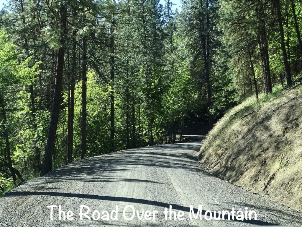
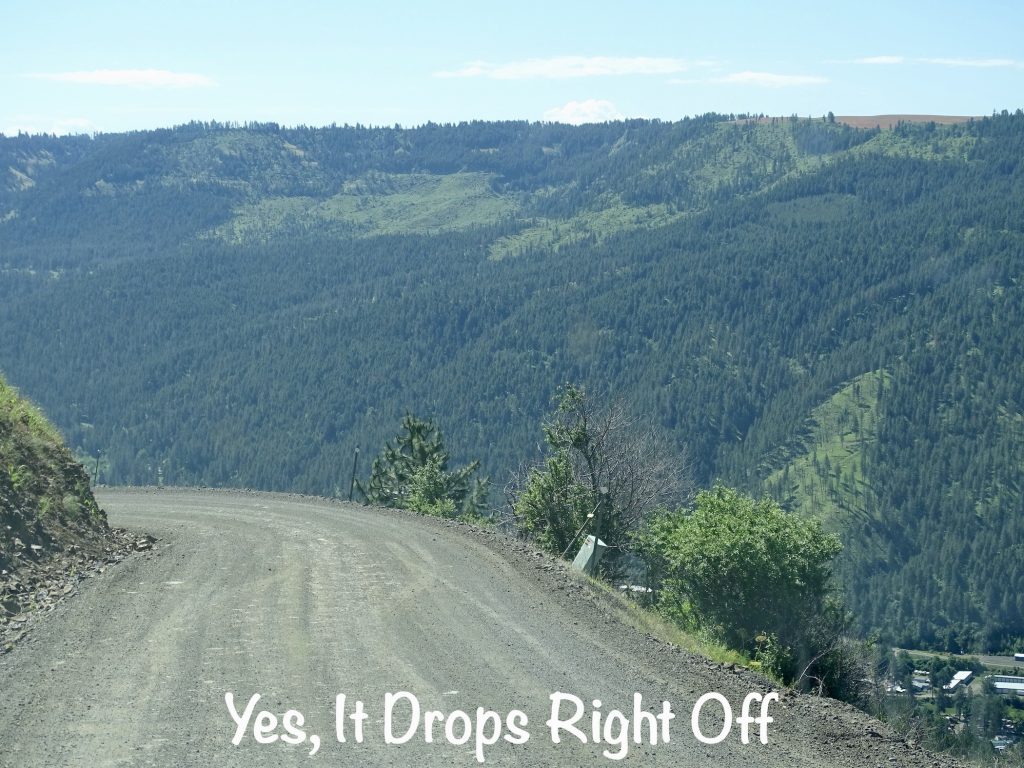
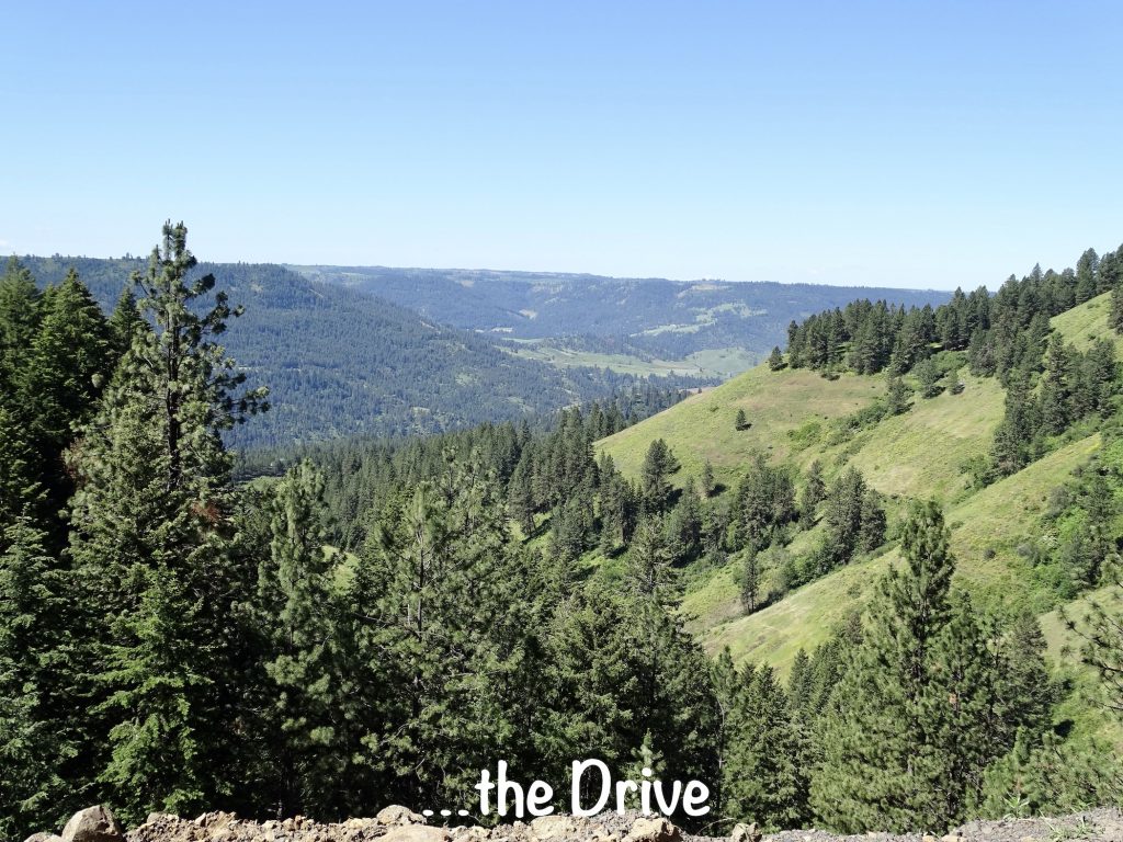
Later I headed over to Orofino, Idaho, to get some work done. (There are no cellular or television signals of any kind at this park.) MW put the route into the Garmin for me not realizing that it would be dirt most of the way. It was great! The road zig-zagged across two mountains, at some points only one lane wide with a steep, unguarded drop-off. It is actually used quite a bit, though. I even passed a UPS truck on the way back. The amazing views were totally worth it. After driving through the city park to see if it had picnic tables, my first stop was Augie’s, a nice little deli downtown where I had a panini and worked a bit. They specialize in homemade and fresh, have minimal seating, and are pretty popular for lunch, so I didn’t stay long. Next was Ronatta’s Cakery, because who doesn’t pop into a place called a cakery??? They had so much more than cake, and I purchased a few things to take back, including some snickerdoodle cookies that were TO DIE FOR. Finally, I parked myself at a picnic table in Orofino City Park to get some work done. Honestly, that is the first time I’ve ever been or passed by a city park that was actually a good investment. It’s right along the river where there is a kayak put in, and people were coming and going all day. The weather was gorgeous, but a little chilly in the shade with the wind. I was happy that I wore a long-sleeve shirt! Just before time for me to leave, two kids (maybe recent high school graduates) brought their inflatable kayaks up from the river to their SUV. They stacked them on top and strapped it all down, then headed out the back entrance to the park. Next thing I hear is a loud, scraping crash. The back entrance to the park is under a railroad bridge that is clearly marked with a 6’6″ clearance. When I looked up, little chunks of concrete were raining down on them as they backed out. They got out to assess the damage, and one of them was so tickled that he was doubled over and cackling. I don’t think the other guy was amused. They left after getting the load re-secured. The drive back over the mountain was just as beautiful, and I noted a few things MW would like to see, too.
MURDER…MAYBE?! When I did my park drive-thru, I saw a nice table in the shade that was a perfect place to work. Later, it was occupied by an older couple. I was intrigued, because they had a little tablecloth and a mason jar with flowers on their end of the table. I couldn’t help but keep an eye on them from where I sat. It was such a sweet scene. A little later, the man got up, took the lunch stuff to the car, and returned with a little cake. After enjoying that, they both got up, folded up the table cloth, and took everything to the car. Then they walked up the steps to the riverside walk, and the man whistled a very lovely tune as they disappeared down the path. About 45 minutes later, I heard the whistle again and looked for the couple. The man appeared alone, walked back to his car and deposited something he was carrying there. Then he went back to the path and walked in the other direction, whistling again. About that time, my Mom called, and I related the story. We decided that he drowned that poor woman in the river and is keeping it casual now to allay suspicion. Maybe it was a Kevorkian thing, or maybe he just got tired of her, or maybe something else. There was an episode of CSI way back where the man killed his wife, put her body in the hot water heater in the basement, and the only excuse he gave…”She nagged me.” It happens. While we were still talking, the man came back, spread a blanked under the trees and laid down. Mom was saying, don’t look at him or act like you know what he did. He might notice! LOL. I think we’ve both watched too many murder mysteries. I left the park to run to the store, and the man was gone when I returned. As far as I know, no one found an old woman’s body in the river. That river is pretty fast moving, though, and she could be in another state by now. Hmmmmmmm.
Saturday started with an early hike on that trail I mentioned. It is actually 9 miles long and goes over to the marina. We just hiked in a mile or so to the waterfall, then headed back.


After getting cleaned up, we drove back over to Orofino and had lunch at Mrs. C’s Burgers, which was very good and served by Mrs. C, herself. Then we popped back into Ronatta’s Cakery so MW could take a look around before dropping me by the park downtown to work while he headed off to check out a few sites. Temps headed up into the low 80s, but in the shade it was very comfortable. MW was sweating like a pig after his short hike over near the dam and walk down the river path, though. He also checked out the Dworshak National Fish Hatchery, which is on the Nez Perce Reservation and is jointly managed by the tribe and the U. S. Fish and Wildlife Service. It was built in 1969 as a mitigation hatchery to replenish populations of Steelhead trout, Chinook salmon, and Coho Salmon affected by the building of the Dworshak dam. He said it was a pretty cool stop with a self-guided walking tour where you could get a good look at the various fish.
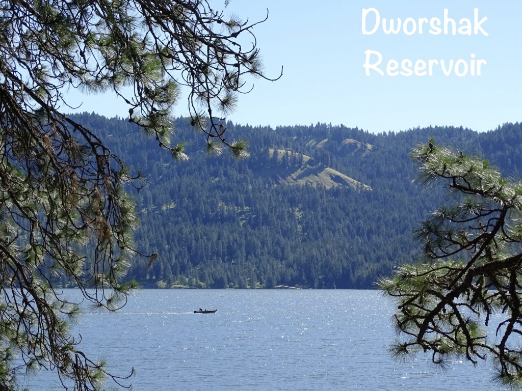
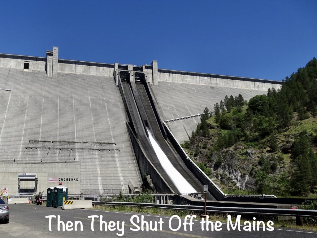
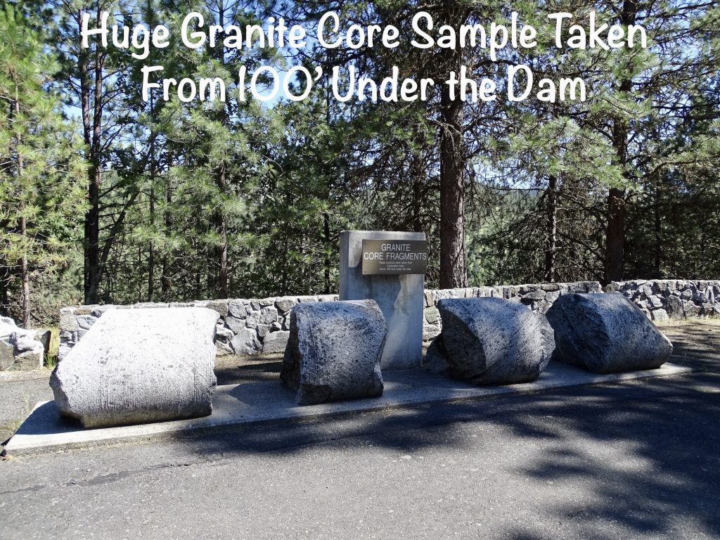
On our way back to the campground, we stopped in at the Dworshak Dam. Completed in 1973, this dam was built mainly for flood control, but also produces around 2 million megawatt hours of power per year. It is the highest straight-axis gravity dam in North America at 717′, and created the 54-mile-long Dworshak Reservoir. In addition to impacting fish, the reservoir created by the dam covered thousands of acres of elk wintering grounds. The dam facility now manages approximately 9,000 acres of land to replace that habitat. Oddly, the dam has a crack that first appeared in 1980. Several things were done to slow the water leak, but concerns about pressure building up and causing worse issues kept them from sealing it completely. The water loss was reduced from 6,000 to 370 gallons per minute. With no other solutions, they hired a group of kids to put their finger in the hole, working in shifts, to keep the water at bay. Okay, that didn’t really happen. They just let the water flow on down into the river below. Even 40 years down the road, I’m not sure how I would feel living below a dam that has an active crack.
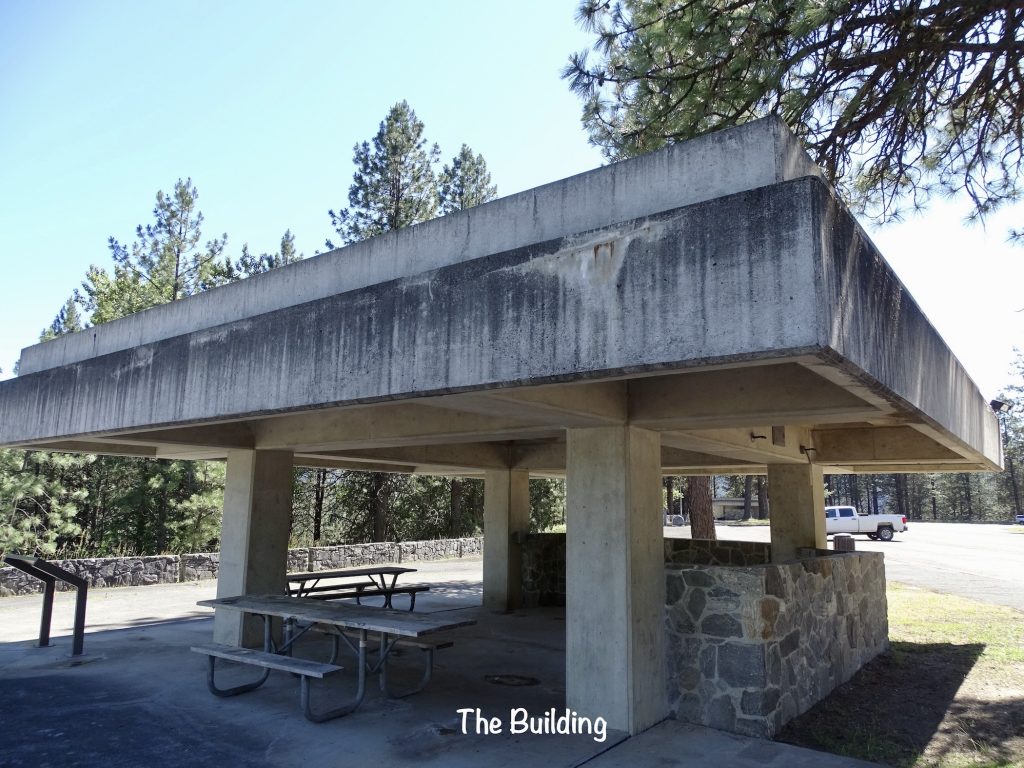
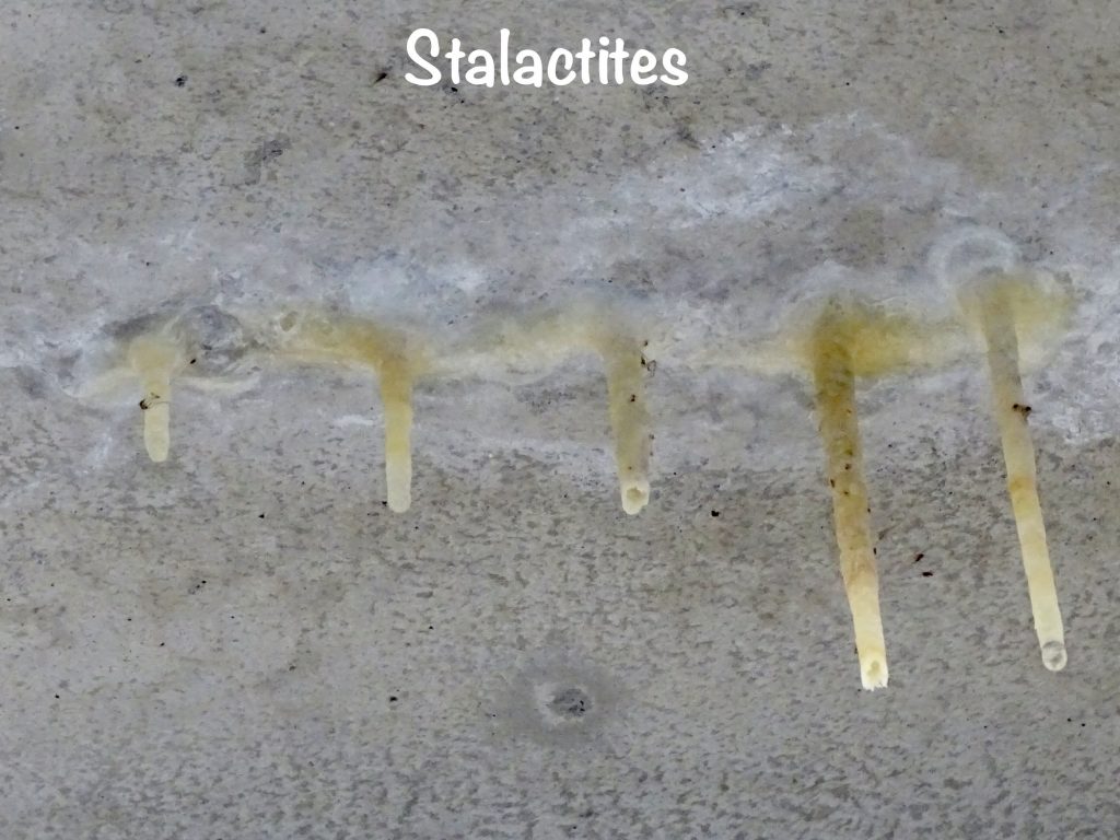
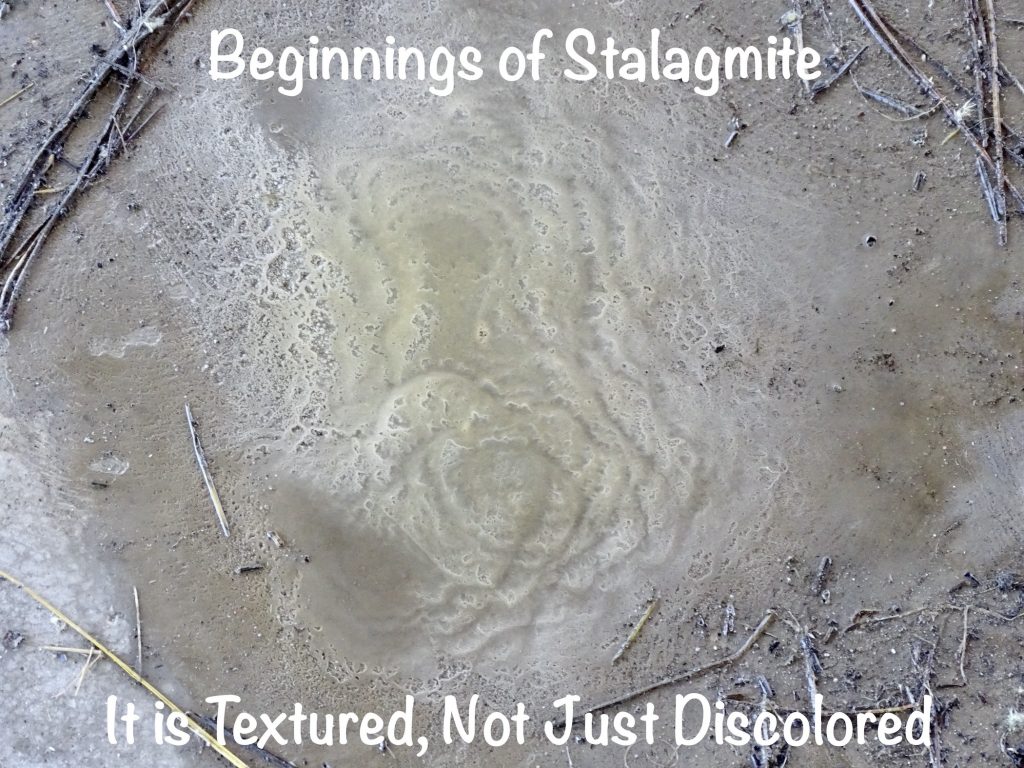
There was an odd thing in one of the shelters at Dworshak Dam. The building was a concrete, flat-roofed structure, and rainwater was seeping through. It was creating stalactites and stalagmites! Must have been some serious minerals in the rainwater or the concrete.
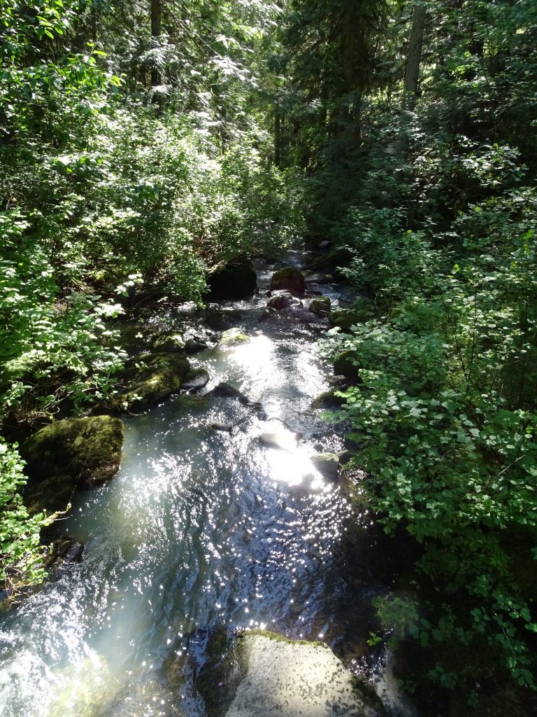
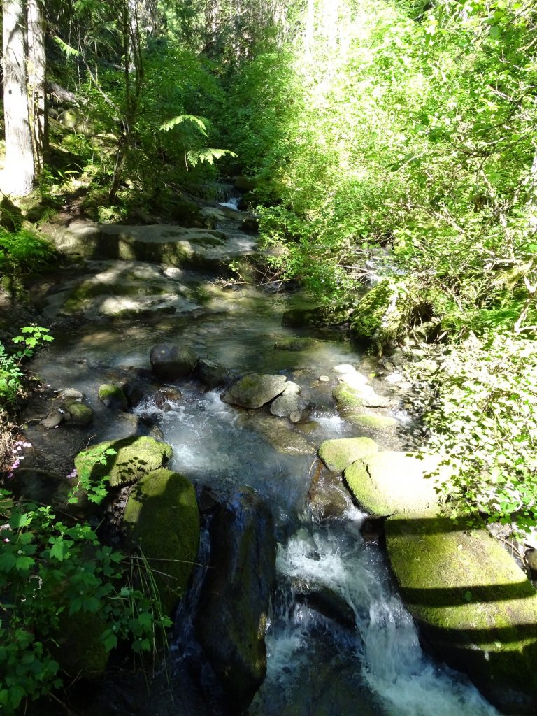
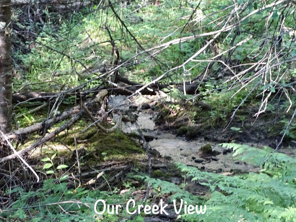
Sunday was a relaxing day at the park. In the morning we walked further down the road past our campground and checked out the disc golf course and archery range. There was also a group camping area a couple of miles further down the road, but we didn’t go that far. Back at our site, I made egg salad for lunch, and marinated steaks for supper. Then I set myself up outside by the creek to enjoy the weather and mark up some pics for you guys. Despite temps in the mid-80s in the afternoon, the dry air and breeze made it very nice in the shade. The mosquitos were out, so preventive measures were necessary, but for the most part, they left us alone. Later MW grilled some amazing steaks, and we watched a movie.
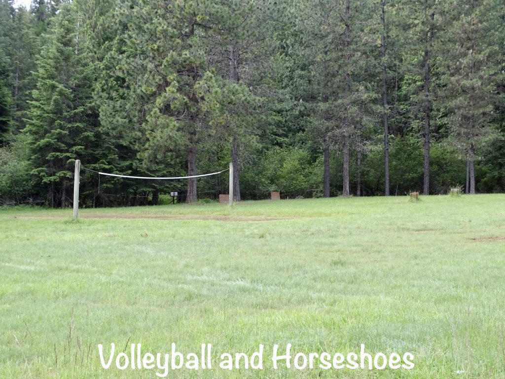
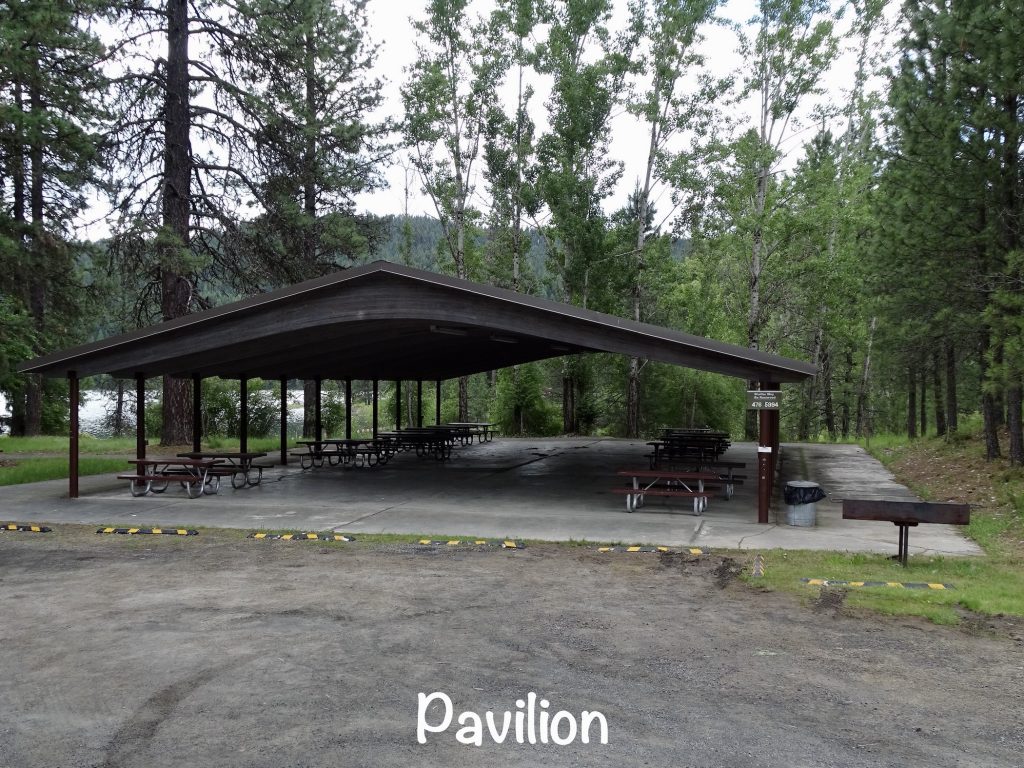
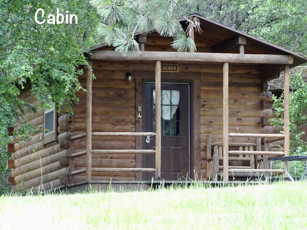
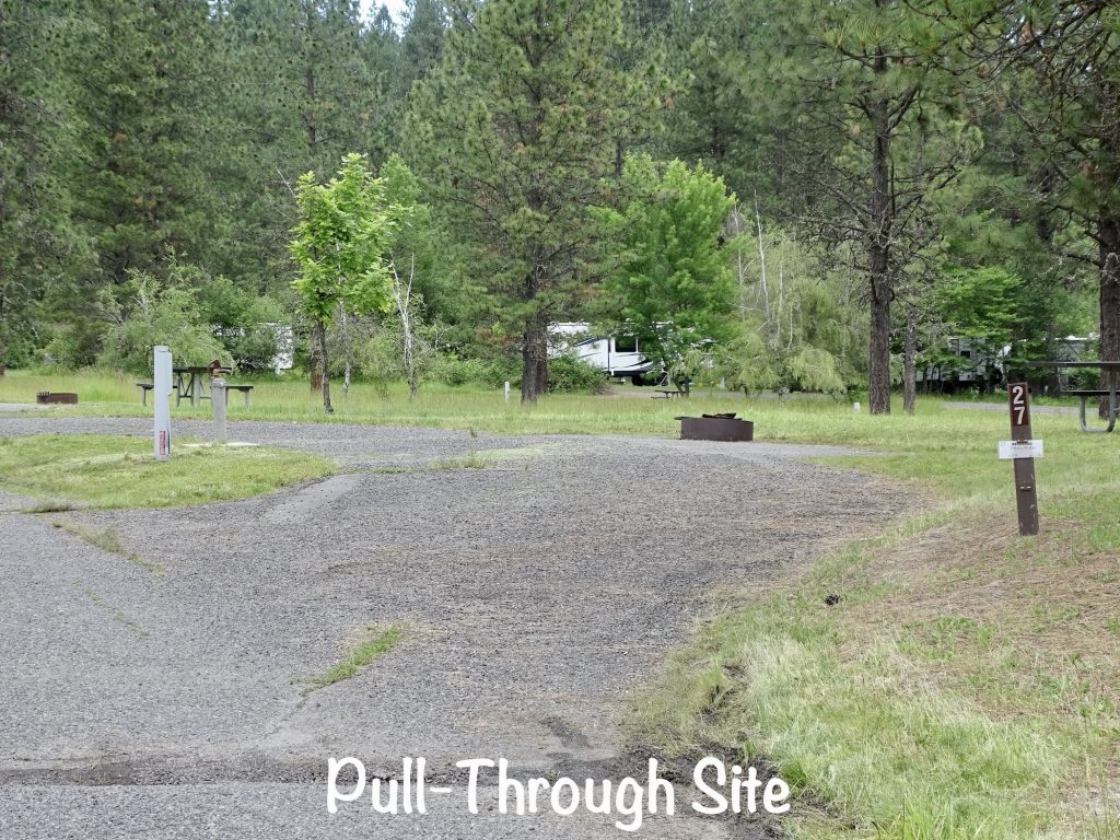
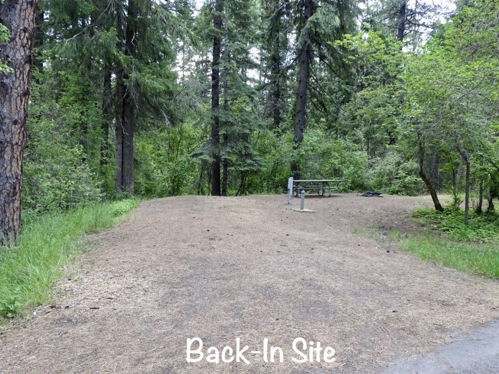
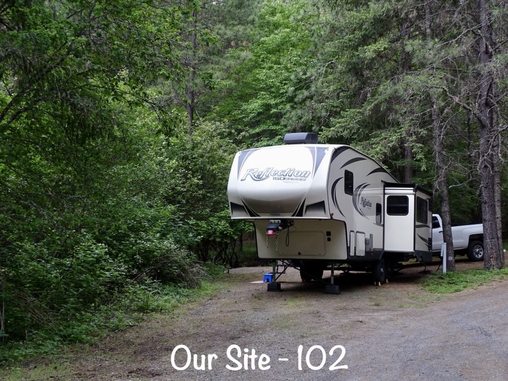
Dworshak State Park sits on the Dworshak Reservoir and is very remote. Available activities include boating, fishing, watersports, swimming, hiking, biking, volleyball, archery, horseshoes, a playground, and disc golf. They have canoe, kayak, and paddle board rentals, but there is no camp store. It is a LONG drive to anything, so plan accordingly. (NOTE: They mention the Big Eddy Marina and Lodge on their website, which you can get to by boat or on a 9-mile trail. However, if you are driving over, it will take you about 45 minutes to drive there. They offer full-season boat slips, a marina store and lodge, and a conference area for events.) The onsite Three Meadows Group Camp has a commercial kitchen, lodge, shower houses, and cabins for up to 100 people. Other lodging options include cabins, smaller group camps, and campsites. The latter include both pull-through and back-in with 46 electric and water, 11 electric only, and 46 central water. There was one bathhouse for the entire campground, including the smaller group sites. There were several showers on each side, and it was very clean. There are vault toilets throughout the campground. Cell signal for Verizon and AT&T is nonexistent, as is over-the-air tv. All of that said, it was not a bad place to stay if you wanted to get away from everything. It was quiet with only the occasional noise from an airplane or boats, and the sites were spaced well. Ours was on the Camas Loop, electric only, and overlooked a little stream that gurgled…heaven to listen to at night. For this stay in June 2022, we paid $154.00 for 4 nights.

Another week in the books. Next up…more Idaho and into Nevada. See you on the path!
Talisa
P.S. Thank you so much for reading! Use the buttons at the top right or bottom to be notified of new posts and please SHARE, SHARE, SHARE on social media!