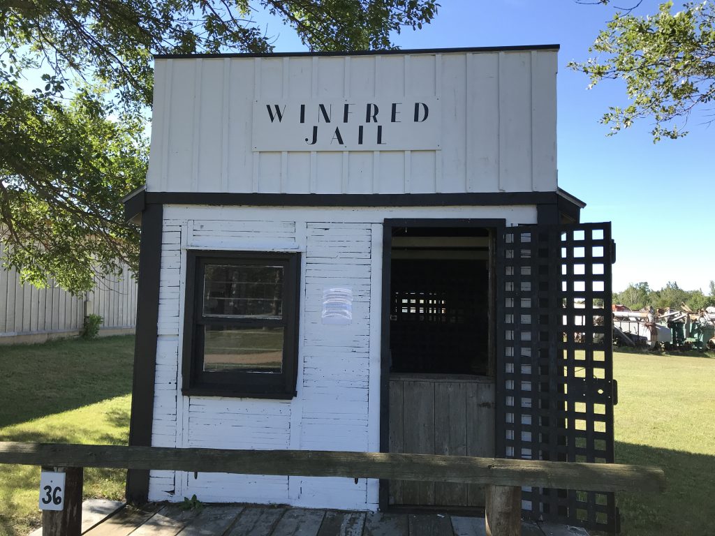
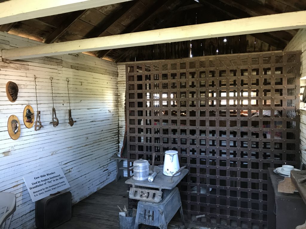
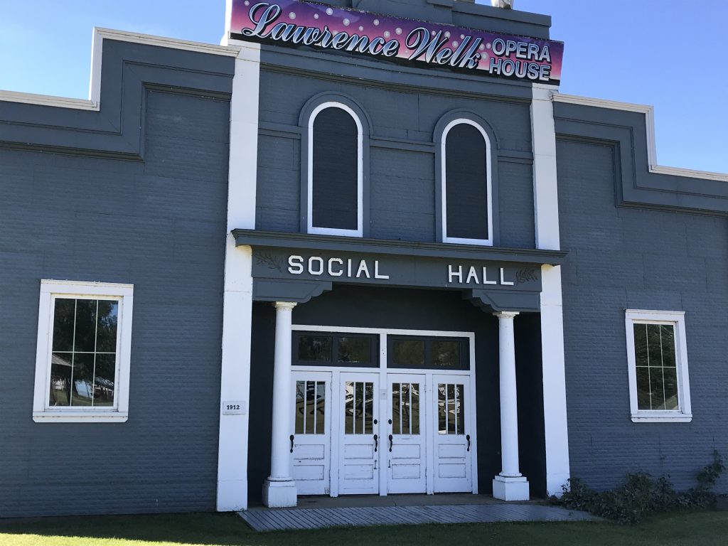
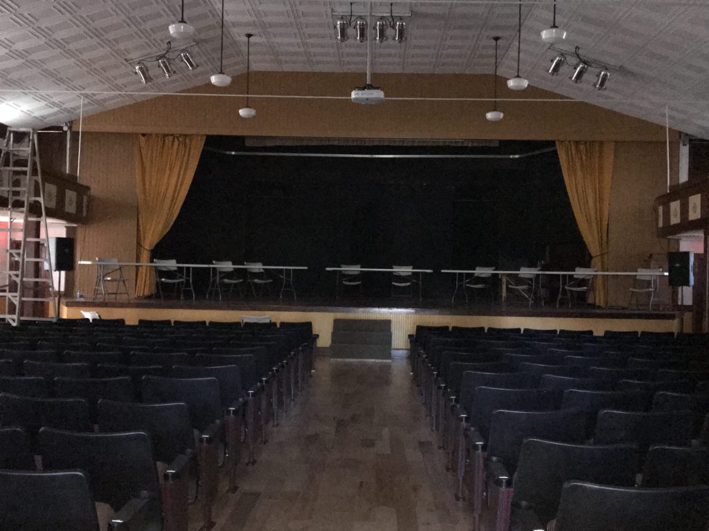
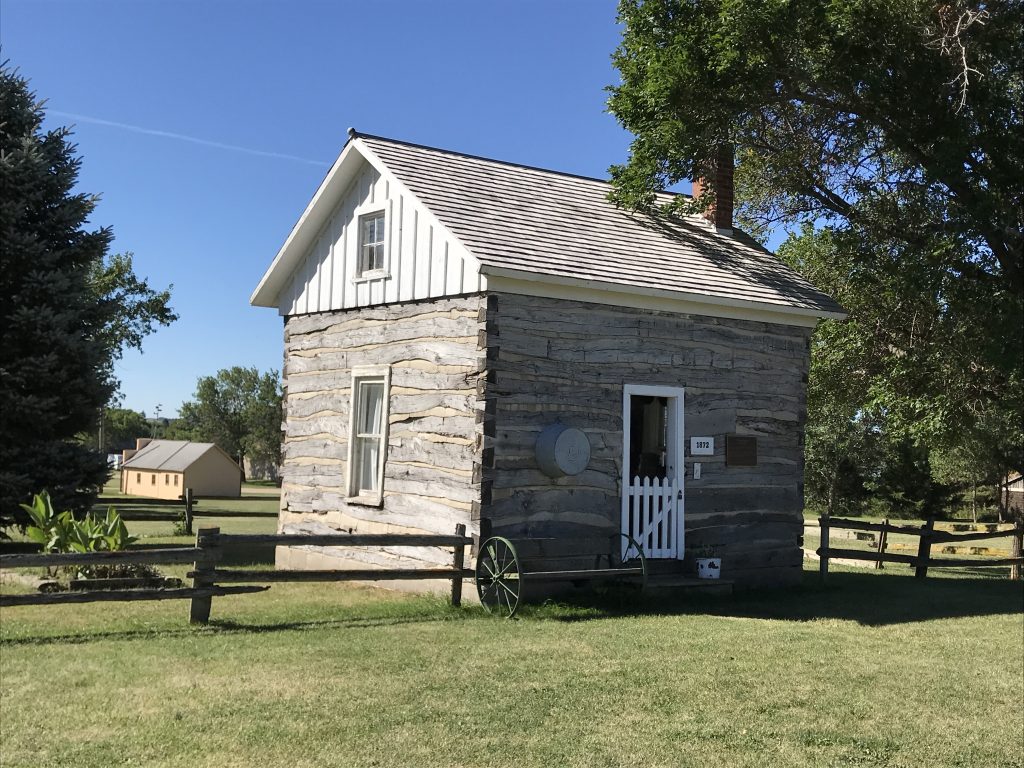
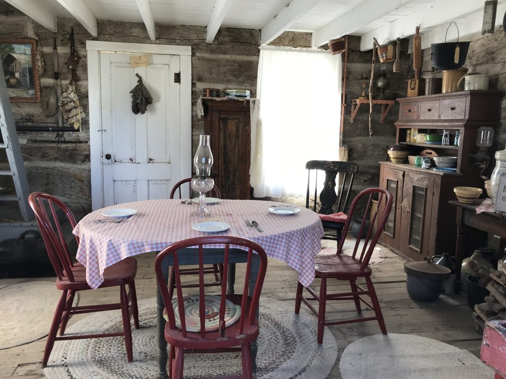
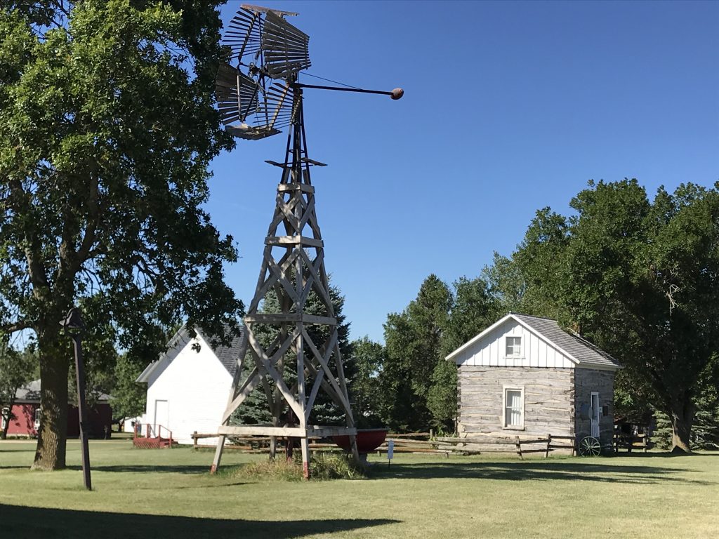
Thursday we hit the road about 8 AM, heading first west thru Sioux Falls, then north on SD-19 up to Madison, South Dakota and our first stop. Prairie Village is an assortment of 60+ exhibits to showcase what life on the prairie in the local area was like. Most of the buildings are from the 1800s (with a few early 1900s) and were moved to the property from the nearby towns. Some examples: an 1893 cable-driven carousel from Lennox, SD; a homestead that was part of the first framed building in Brookings County; a log house built in 1872 near Fairview, SD; a country school built in the 1880s from Nunda, SD; a library which was originally the Howard City Hall that became the first chartered library in the Dakota Territories in 1886; the original jail from Winfred, SD, with walls built of 2’x4’s stacked horizontally for strength. The list goes on. One of the most interesting was the “Socialist Hall” that was built by the Socialist Party in 1912 in Oldham, SD. That stage is where Lawrence Welk (some of you young’uns might not know who he is) made his stage debut. The socialist propaganda on the wall was sobering, including a letter that began “Dear Comrade”. There was also a cool train car that was actually a church, plus a train you can ride around their 2-mile track. All-in-all this was a great stop with a lot of interesting stuff. Plus, the weather was around 70ish with strong winds, so we actually had to put on jackets! Yay!

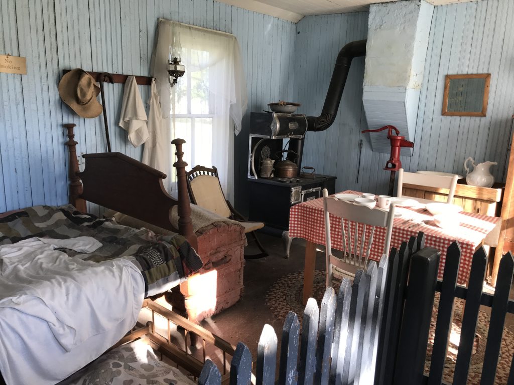
One Room Prairie Living 
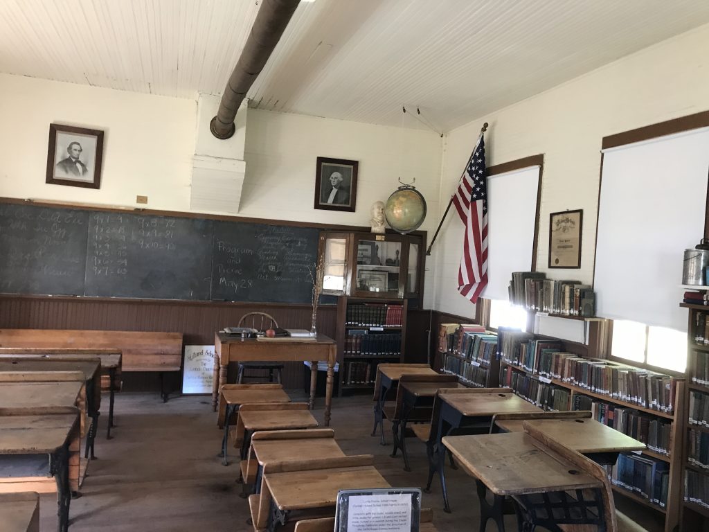
One-Room Schoolhouse, Nunda, South Dakota
Operated until 1952 – Grades 1 thru 8

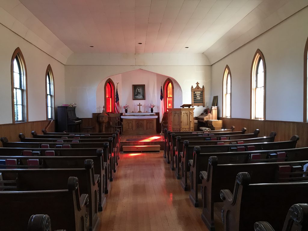
Built in 1906 in Junius, South Dakota 
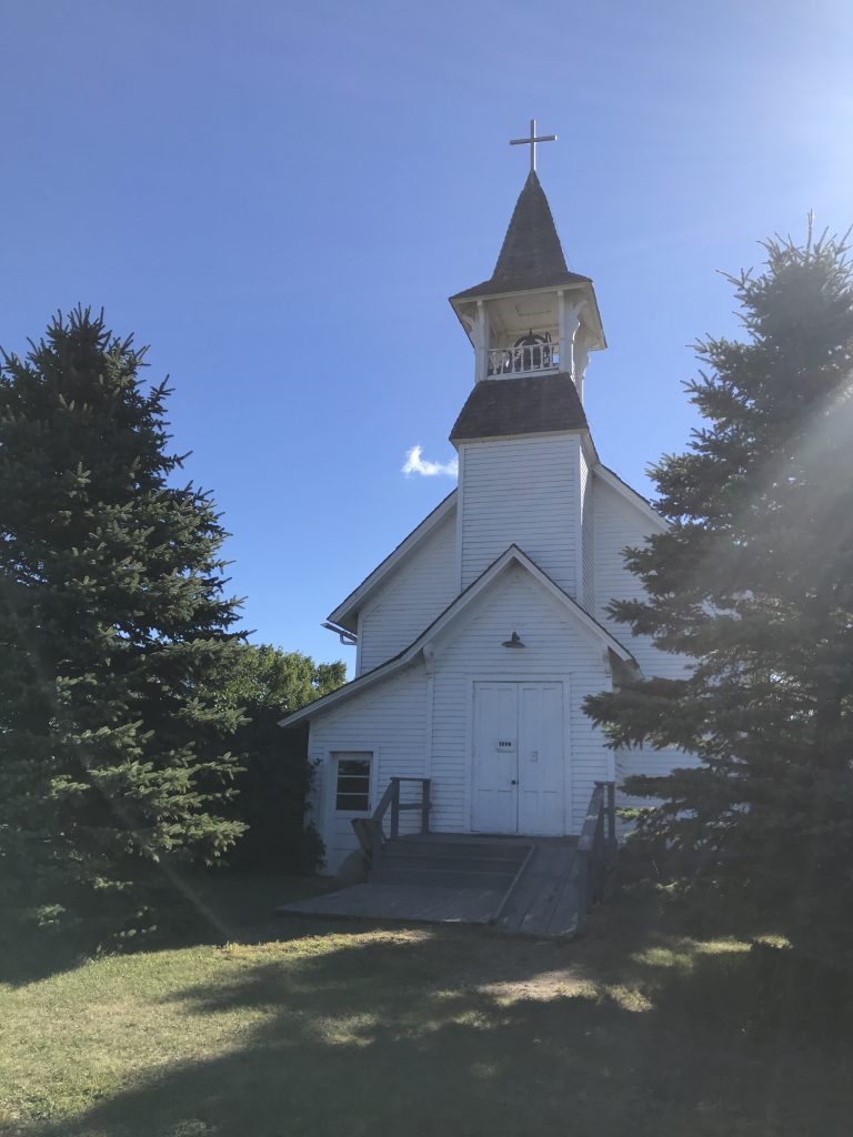
Still Holds Services in Summer

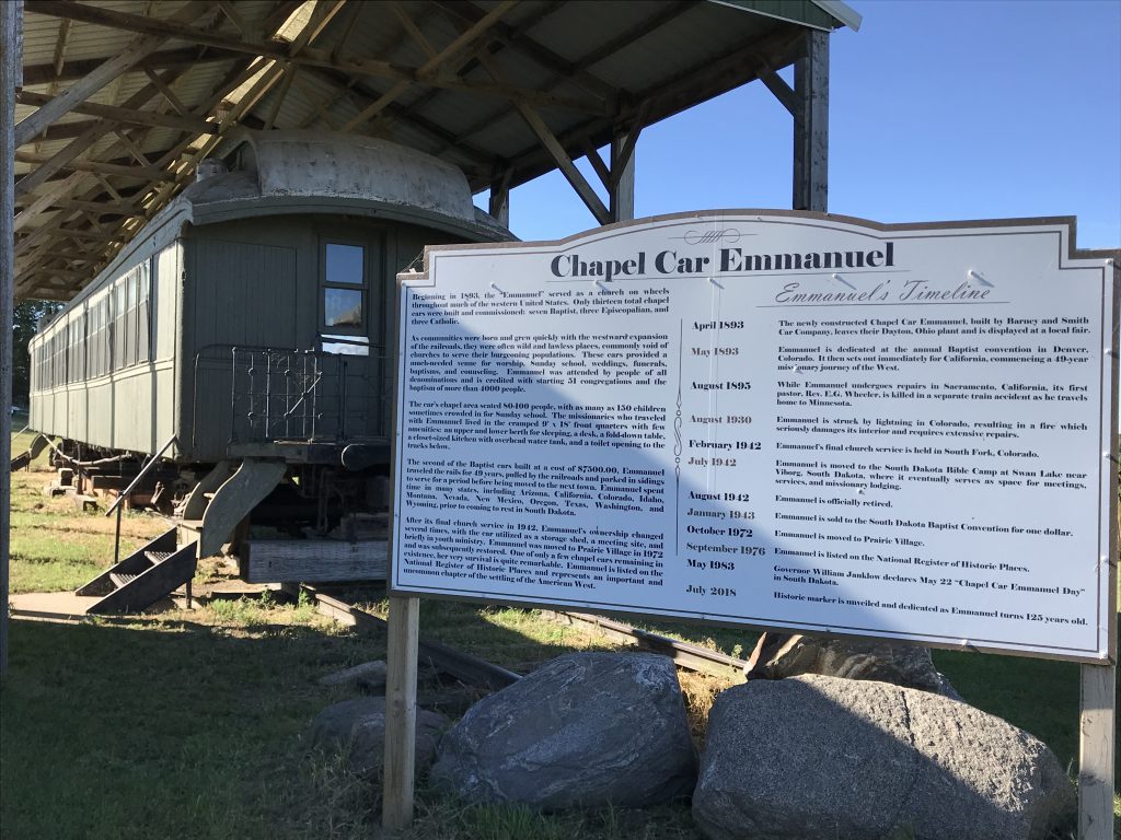
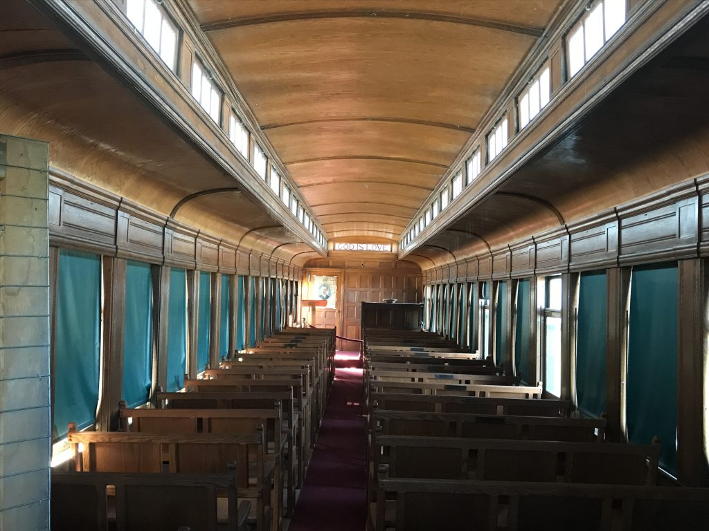
Church Train Car 
Traveling Services from 1893 to 1942!

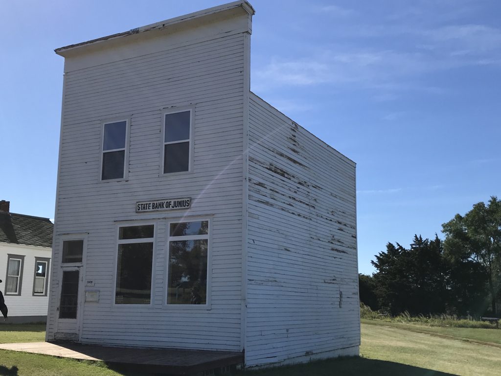
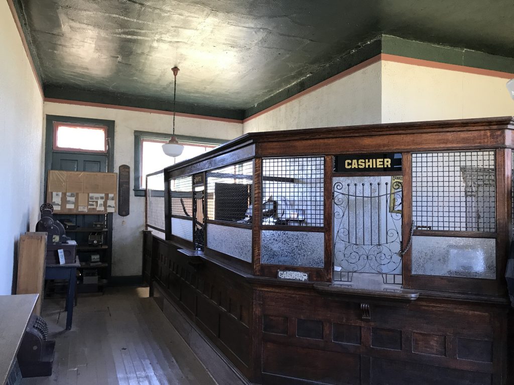
Bank from Junius, South Dakota – 1906 
Closed Just BEFORE 1929 Crash!

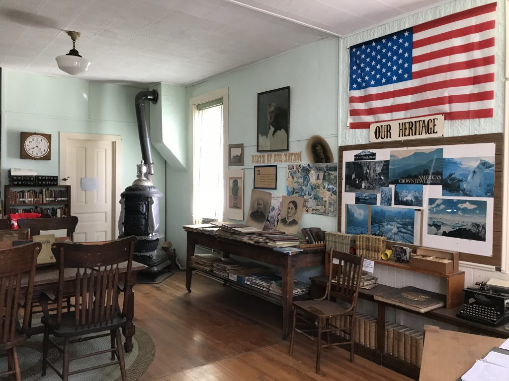
Library 
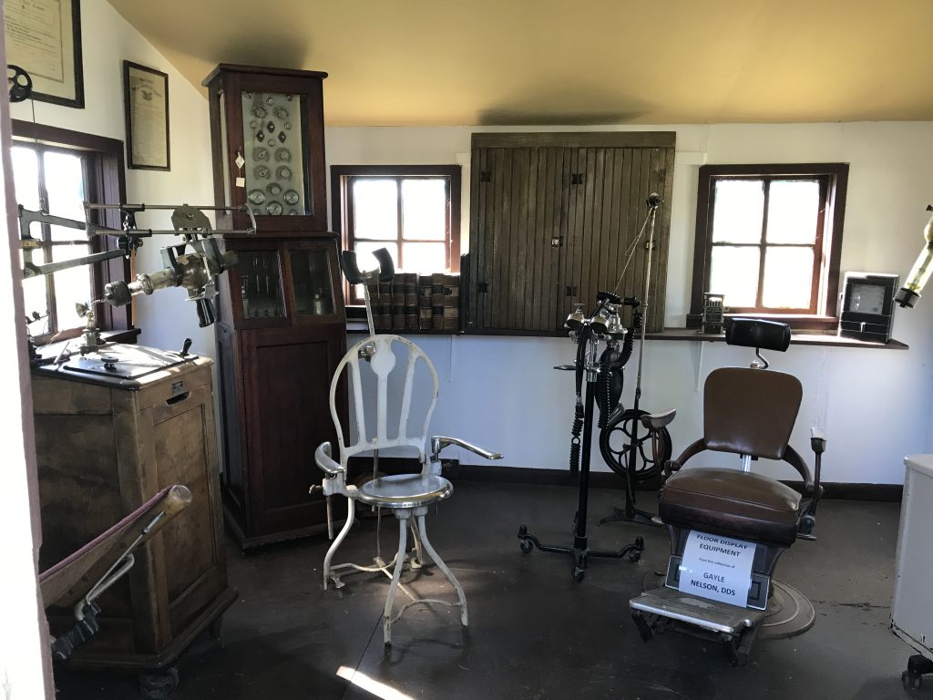
Dentist’s Office

Built in 1912 in Oldham, South Dakota 
Welk’s First Stage

Lars & Sonney Thormodsgaard and 9 Children!!! 
Guess They Ate in Shifts
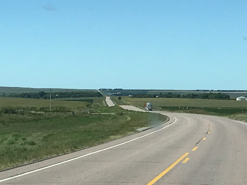
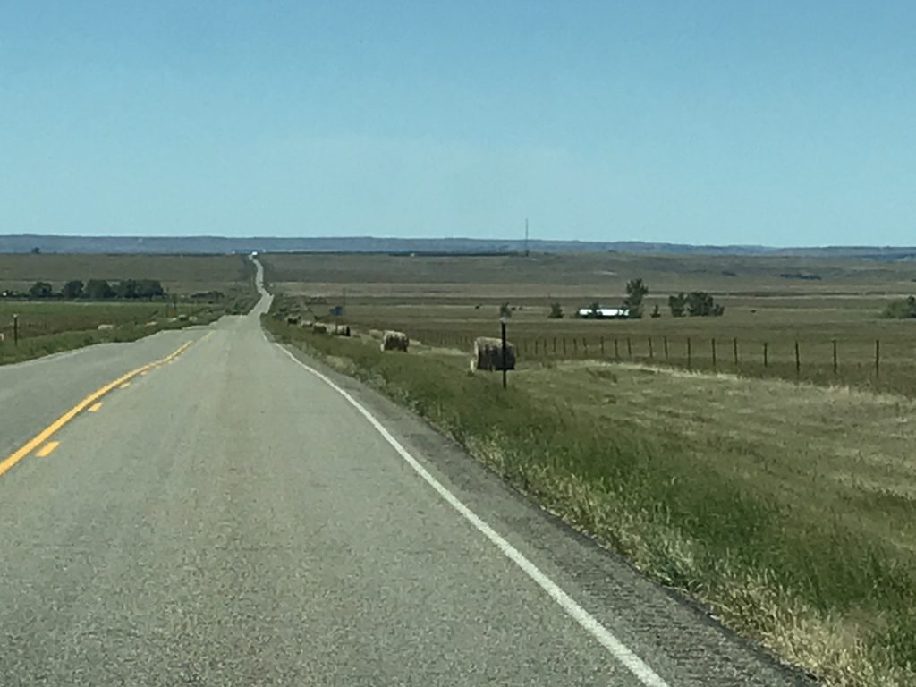
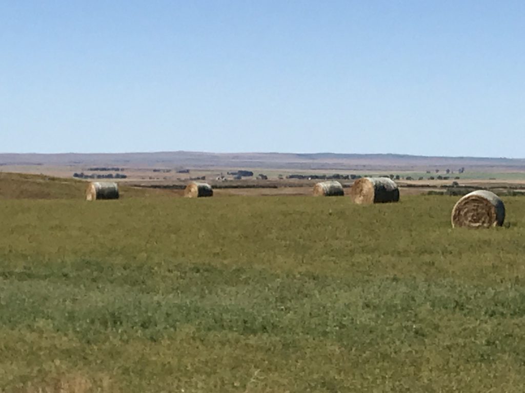
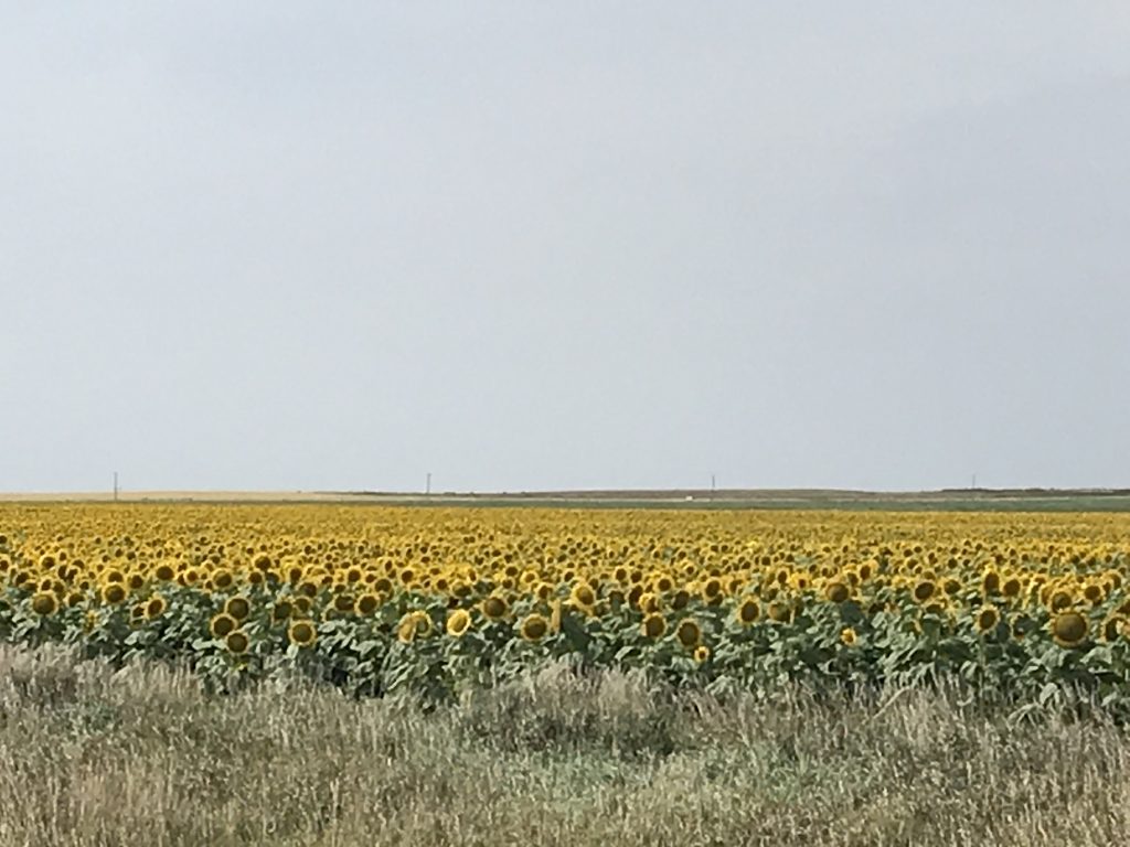
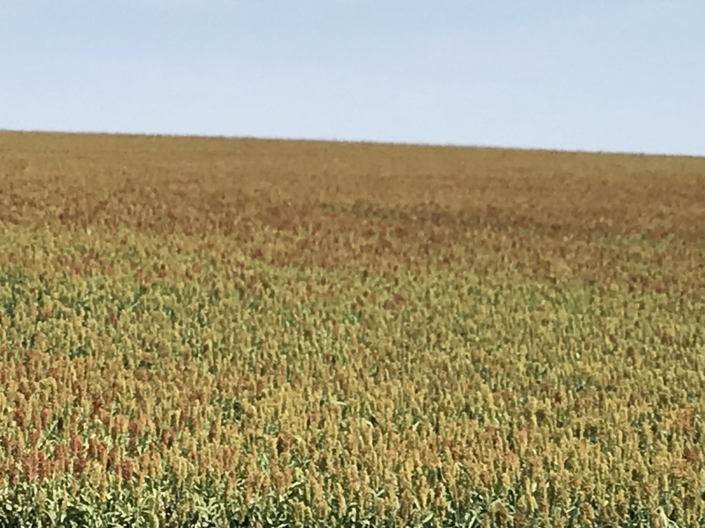
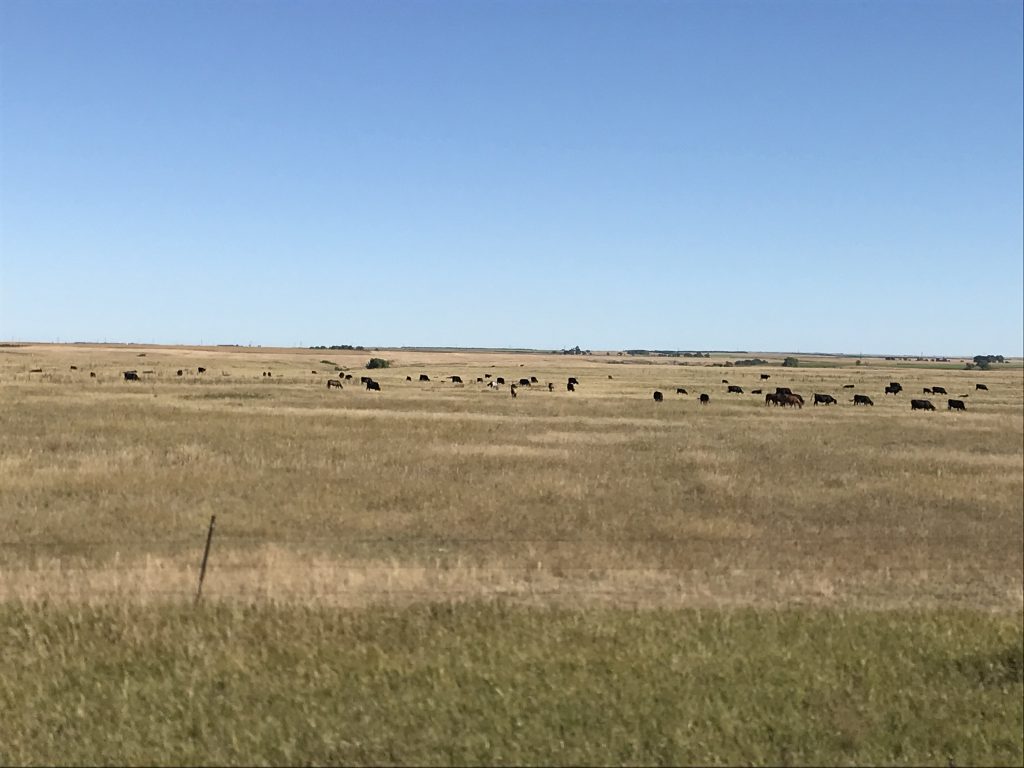
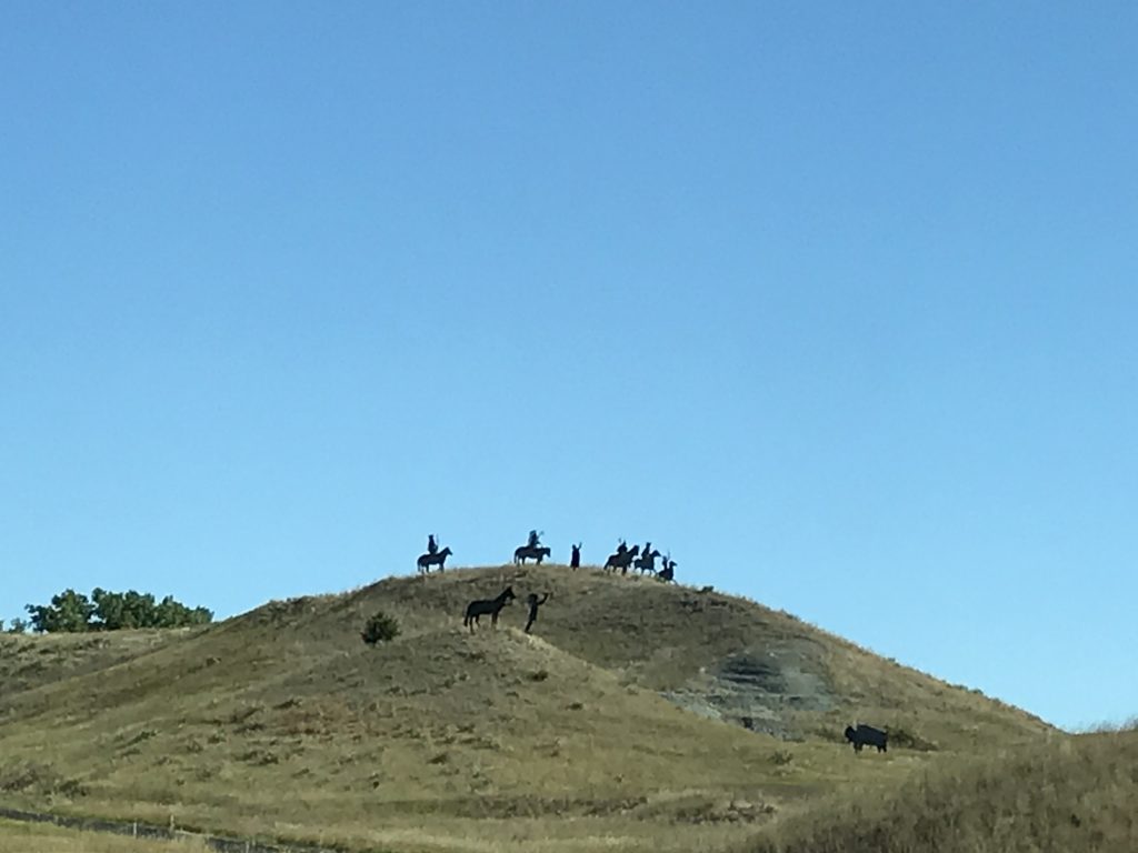
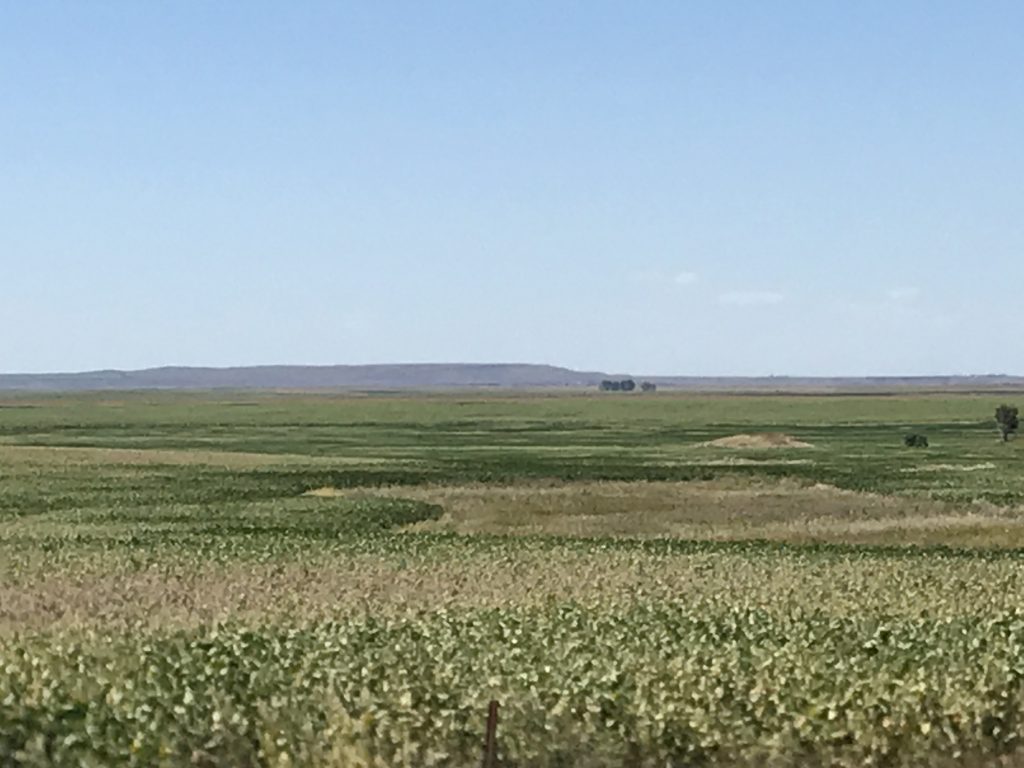
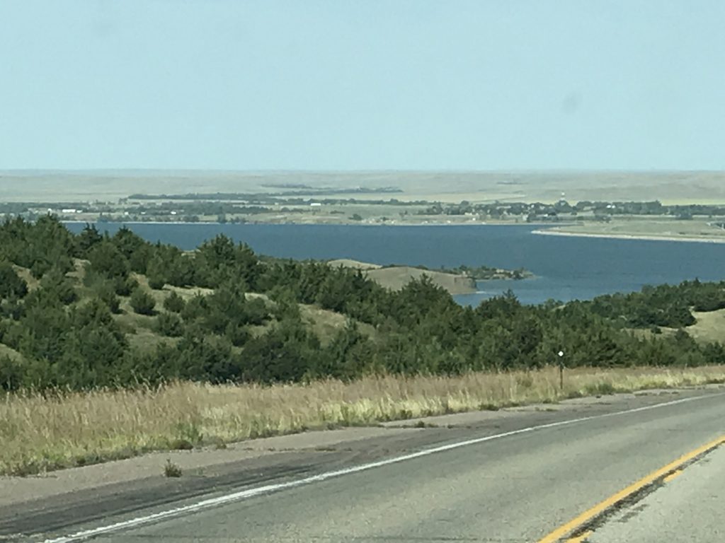
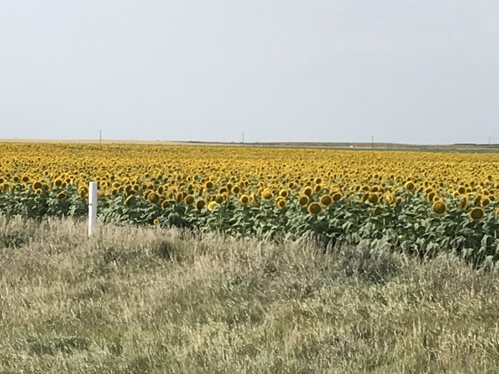
After exploring quite a bit, we headed back to the rig to get on the road. We followed SD-34 all the way over to the turn-off for our destination, West Bend State Recreation Area. Since leaving Sioux Falls, the landscape has been subtly changing. There it was slightly rolling with lots of corn and soy beans and very little cattle. As we continued west it flattened out somewhat. Slowly more grazing land appeared and the number of homesteads decreased. There were some places where we could look all the way around 360 degrees and see for miles, but NOT SEE ANY BUILDINGS! By the end of the day’s drive, the land was rolling again with some higher buttes along the beautiful Missouri River. The corn crops had diminished greatly and what corn we did see appeared to be for a different use or was just a lot less healthy. We continued to see the occasional soy bean field, but sorghum and sunflowers also turned up in great fields. The largest crop, though, is hay. As you look across fields that run all the way to the horizon, you see the giant bales dotted around as far as you can see, sometimes piled up in tall stacks. We did see some semi-trucks hauling hay out, but it looked like most of it is in preparation for the harsh winter. It is a very vast, open landscape, and some of the grass fields were so golden that they hurt my eyes in the sunlight. I tried to imagine the native Americans riding across these plains hunting buffalo and deer. It must have taken their breath away, especially without the always present evidence of modern man…power lines and roads.

Sunflowers 
Sorghum
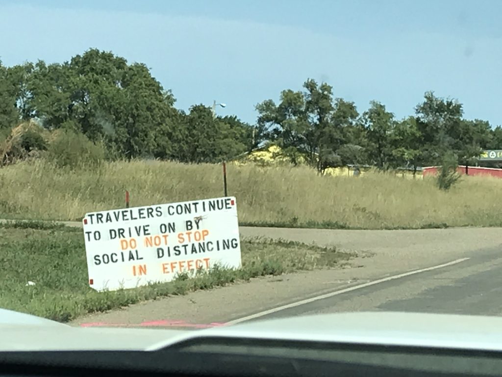
Just before arrival we passed through the Crow Creek Hunkpati Oyate Reservation. As we came into Fort Thompson (on the res), there was a sign telling travelers not to stop; that they were “social distancing”. While I understand the reason, I wonder if that is the sentiment of most of the people, especially the small businesses. It appeared to be a hand-to-mouth community, and there are just a few places that someone might stop to fuel up or get some refreshments, bringing in outside money. I wouldn’t want to see that trickle stop as a proprietor. It was interesting to note that almost all of the people we did see going in and out of gas stations, etc. while passing through (several times over the course of our stay in the area) did not have on masks. Sadly, unless everyone on the res stays on the res all the time, the lost revenue isn’t even offering any protection.
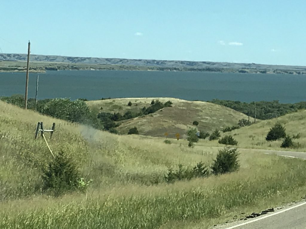
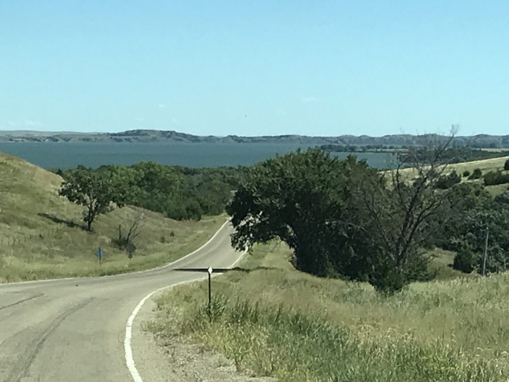
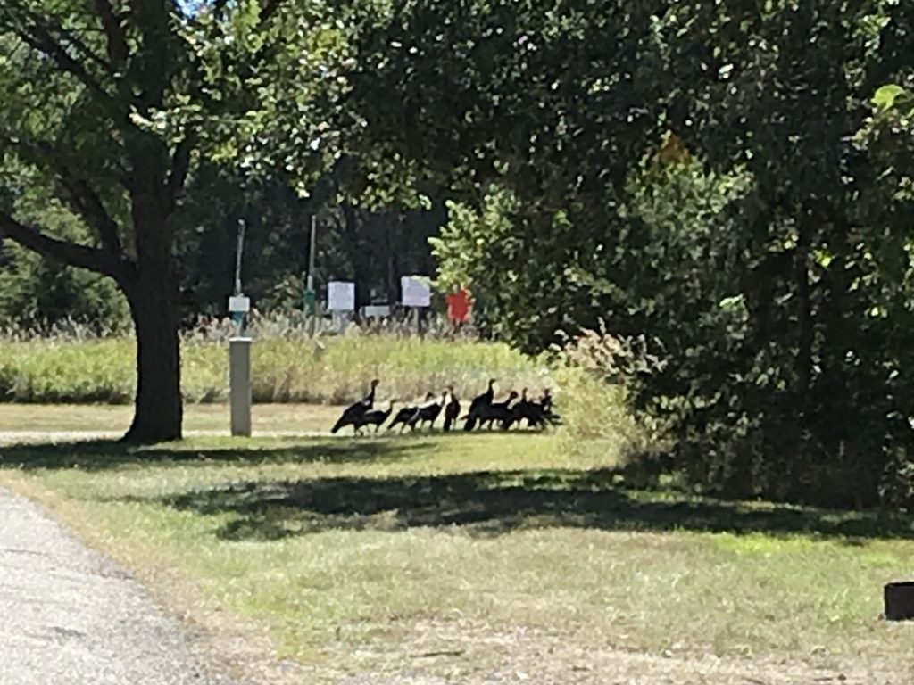
After leaving the reservation, we turned south on the final road to West Bend Recreation Area. It’s several miles to get back in there, but man, what a beautiful drive! Just after we arrived, I happened to glance down the road and saw a huge flock of turkeys passing through. Beautiful! After getting everything done, we were all ready to enjoy the evening. Alas, it was not to be.

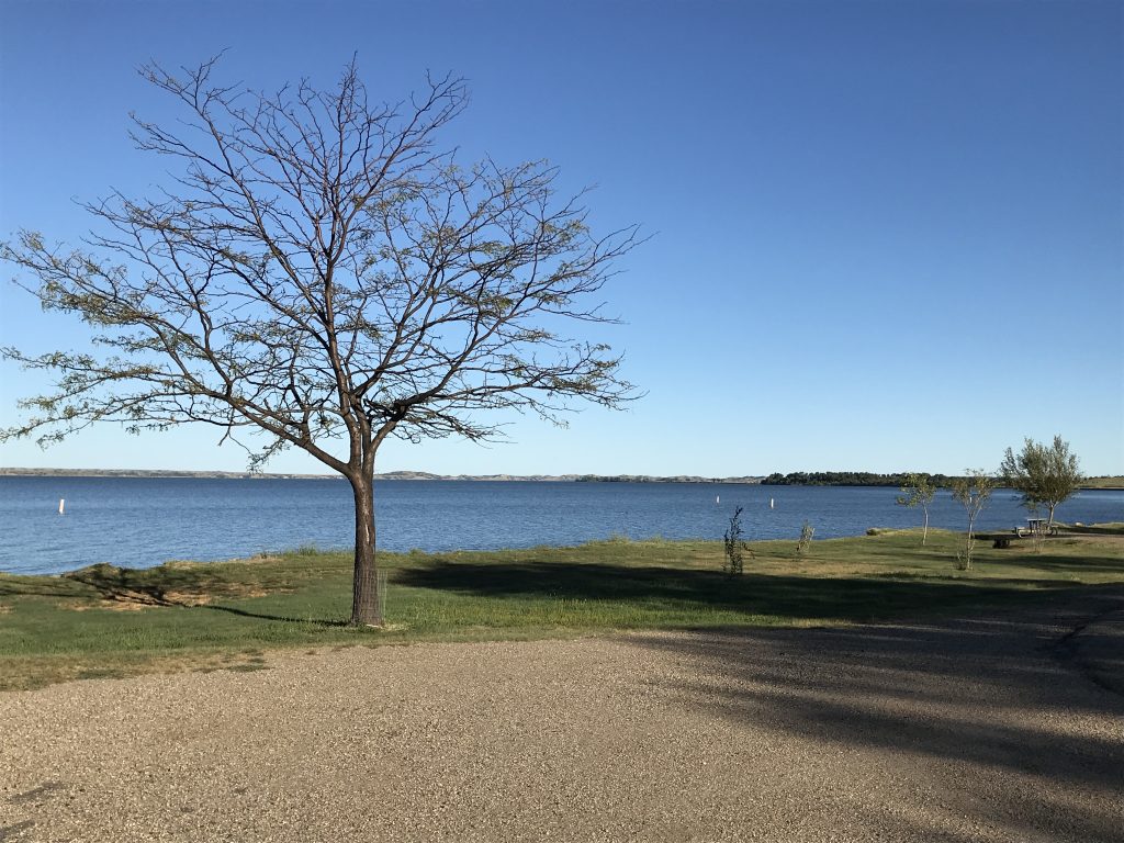
Missouri River 
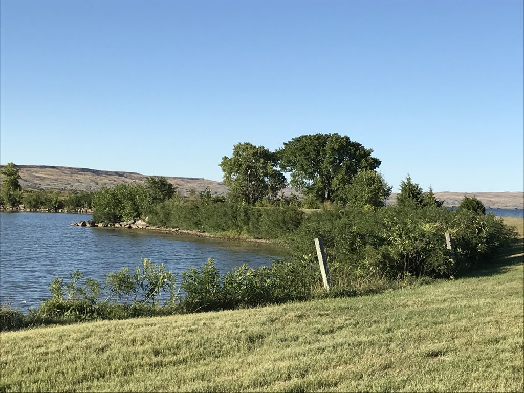
Beautiful Landscape

Caught About Half of the Flock 
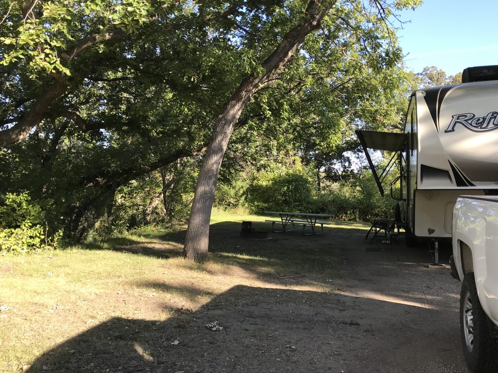
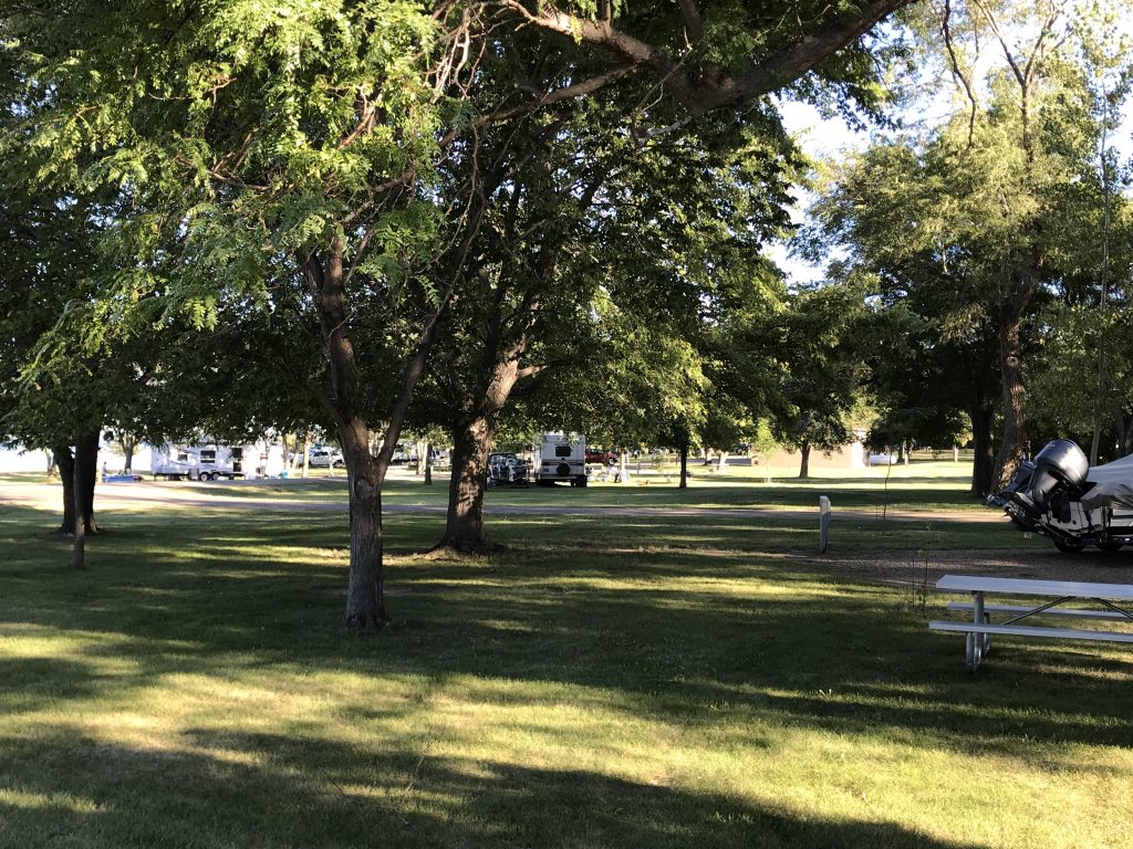
Our Site
FAIR WARNING: BITCH SESSION (SKIP THIS PARAGRAPH TO AVOID…SERIOUSLY) BEGINNING IN 3..2…1…Our neighbors were LOUD! I’m not talking a group of folks sitting around enjoying a visit loud. I’m not talking kids laughing and playing loud. I’m talking we could hear all of their conversations from across the road while sitting inside loud. I’m talking yelling expletives loud. (At one point one of the women said to a child “Don’t you tell your GD Mom that I f***ing beat the shit out of you!” It was a LITTLE kid! One guy and one girl in particular had those really loud voices that carry. (Funny, shortly after we arrived that guy was explaining to the others how sound carries! We know this, because we heard the conversation while sitting in our living room.) I don’t want to come off as the noise police, but for gosh sakes! What happened to courtesy and thinking about those around you?! We understand that, unlike in Tennessee, the campground doesn’t belong to us, so we just tried our best to ignore them. As more and more people flowed into their group, they all congregated at the site across from us, first on the road side of the RV, then later on the other side where there was a little open area to play games. That move blocked the noise a little bit for us. Well, until someone came back around and turned up the music playing out of the RV door-side speakers loud enough so they could hear it ON THE OTHER SIDE. WTF??!!! As we headed out for a quick walk, I saw the patriarch of the group out front at the grill and nicely asked if he could please turn the music down. He growled. Before going back to our site, we walked down to check out the facilities and see the river. On the way we passed a park employee and flagged him down to ask if there were any other sites available in the park. No dice. Bummer! However, we were pleasantly surprised when we got back and the music was off. Thank you!! (It wasn’t bad music, and in all honesty, I knew the words to every song. It just made it absolutely impossible to hear birds, wind, bugs, etc. Add in the cacophony of other noise coming from that direction and you could barely hear yourself think!) We sucked it up and settled in for the night. Around 7 PM, the park guy came knocking. He said that, unfortunately, our site was in the middle of NINE sites that are all part of a reunion of some kind. Oh joy!! He did say that there were possibly two other sites we could move to the next day. (I guess they’d had a couple of cancellations.) He also said he would make a point to remind them of quiet hours (11 PM to 6 AM) as he passed through later. We thanked him for the great follow up, and told him we’d check out the other sites in the morning. Just before 11 PM, the large group broke up and everyone went to their own sites. Ahhhh….quiet. That is until a group of four that included the two loud ones (that I was just calling Boy Jackass and Girl Jackass by that point) built up their campfire diagonally across the road and extended the visiting session, punctuated with loud, drunk laughter. After another 45 minutes my limit was reached, so I walked across the street and said “Excuse me! Quiet hours started 45 minutes ago, so do you think you guys could pack it in?” Boy Jackass said “Oh okay, we will.” Boy Jackass meant “We will quiet down for a few minutes, then ramp back up and throw in some more loud laughing for emphasis.” It was another 45 minutes before they shut the hell up. The next morning I heard Boy Jackass relate how the bitchy woman told them to quiet down, and he just didn’t understand why I didn’t “close my f**king windows.” What?? So because you want to drag out your party inappropriately until the wee hours, I do not get to enjoy what I came to the park for? (Unless it is very hot or extremely cold, we sleep with our windows open for fresh air and night sounds.) What if I was in a tent? I don’t know whether most people think like that or not, but my position is: my enjoyment of the campground should not negatively impact your enjoyment of the campground. In the daytime, all bets are off as far as noise goes; everyone is having fun, playing games, eating, drinking, etc. I would definitely have a group around for a cookout, play games, and tell stories around the campfire while making s’mores. (I wouldn’t play music, though, unless everyone around me was in on it. The Beastie Boys aren’t for everyone.) In my opinion, the beginning of quiet hours changes all that. What is it that people don’t understand about the concept? It’s right there in the name. It isn’t “a little less loud hours” or “it’s okay if there are only a few of you hours”. It means QUIET! No door slamming. No rattling around in your outside compartments. No unnecessary noise. Sitting quietly around the campfire enjoying the evening? Yes. Doing a little star gazing? Yes. Talking loud enough to be heard by any of your neighbors? NO! Telling jokes, laughing and cutting up where anyone else can hear you (including the guy in the tent next door)? NO! MW (Mr. Wonderful) goes out every morning at 5 AM, and no one ever knows he’s there. When we walk in the early mornings, we whisper if we say anything. I’ll admit, though, to the occasional fantasy in situations like this of getting up at the crack of dawn, opening the door, and playing reveille on a bugle! But then, I’d be them, wouldn’t I? OKAY, END OF RANT. SORRY SO LONG. 🙁
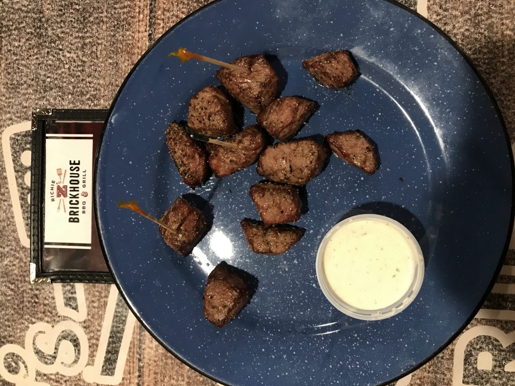
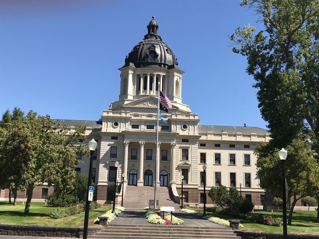
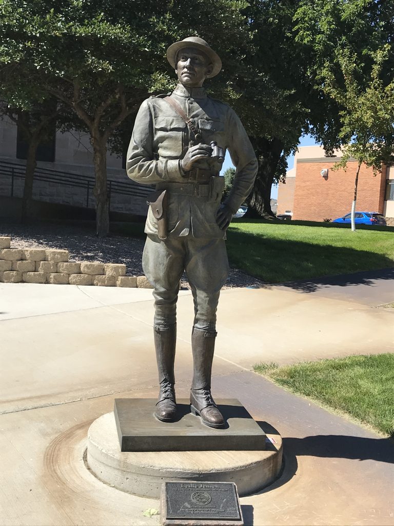
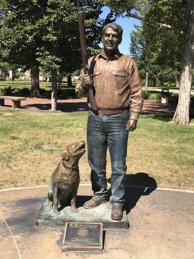
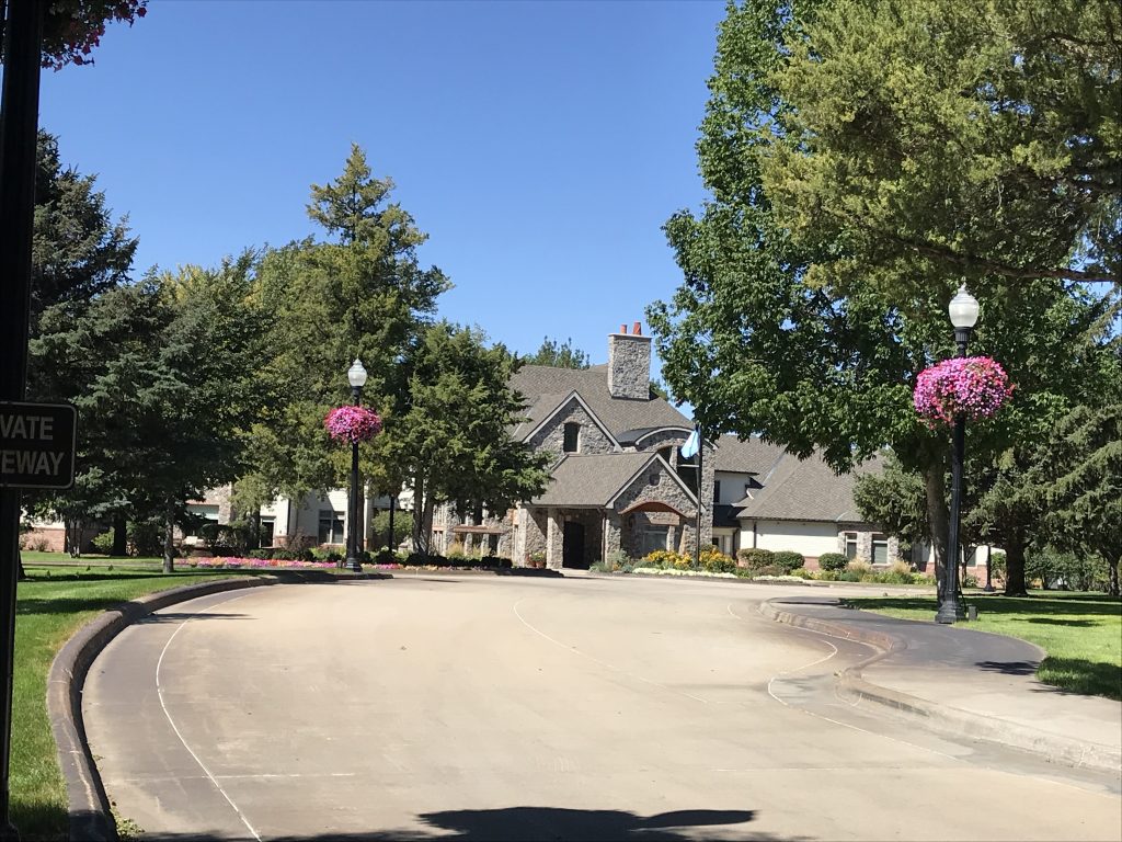
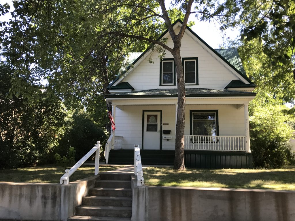
On Friday we headed in to the Capitol of South Dakota, Pierre (pronounced “pier” by the locals), about 40 minutes away. Our electric tire inflator bit the dust (the second to do so), which made a trip to Menards necessary. (We decided to go with the smallest compressor we could find, so we’ll see how that works.) Our next stop was lunch at Richie Z Brickhouse BBQ & Grill. Winner, winner chicken dinner! First we tried Chislic, a South Dakota thing – small bites of sirloin that are deep fried, then sprinkled with garlic and served with ranch or bleu cheese. Yum! I really could just have made a meal out of that if it wasn’t for sharing with MW. We also tried the Beef Brisket Sandwich and the Texas Blue Sandwich, macaroni and cheese, and potato salad. Everything was delicious, and unlike the previous steakhouse, the decor was very nice, too. Our server, Brent, was great and gave me the lowdown on what it’s like to live in the area, how the winters are, etc. After lunch it was time to check out the Capitol building. Amazingly, you could pull right up out front and park. Wow! They have statues all around town of their governors, which are in very natural-looking attire and poses in an attempt to provide a window into their personalities. We’ve traveled through a lot of towns with theme statues (ice cream cones, jeans, pigs, cows, etc.), but I liked the Governors best. It is a walking tour of history. Right down the street from the Capitol is the Governor’s Residence. We were stunned to see that there was no fence, no guard, no visible signs of security, nothing. The surrounding neighborhood was pretty with small, older homes and sidewalks, and the only distinction (except for the size of the house) was a long, horseshoe driveway with a small sign that said “Private Driveway”. Really, that was it. I’m sure there is some type of security, but the feeling of accessibility and that the governor is just one of the people was amazing. We looked it up, and Pierre is the second smallest state Capitol in the nation.

Chislic 
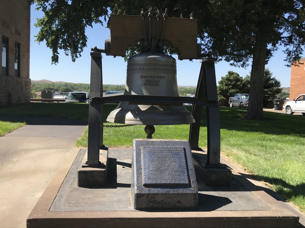
Liberty Bell Replica
“Dedicated to You, a Free Citizen in a Free Land”

South Dakota Capitol

Governor Leslie Jensen
1937 – 1939
Governor M. Michael Round
2003 – 2011

Governor’s Residence 
Directly Across the Street
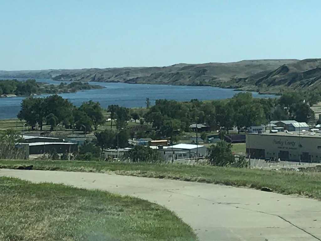
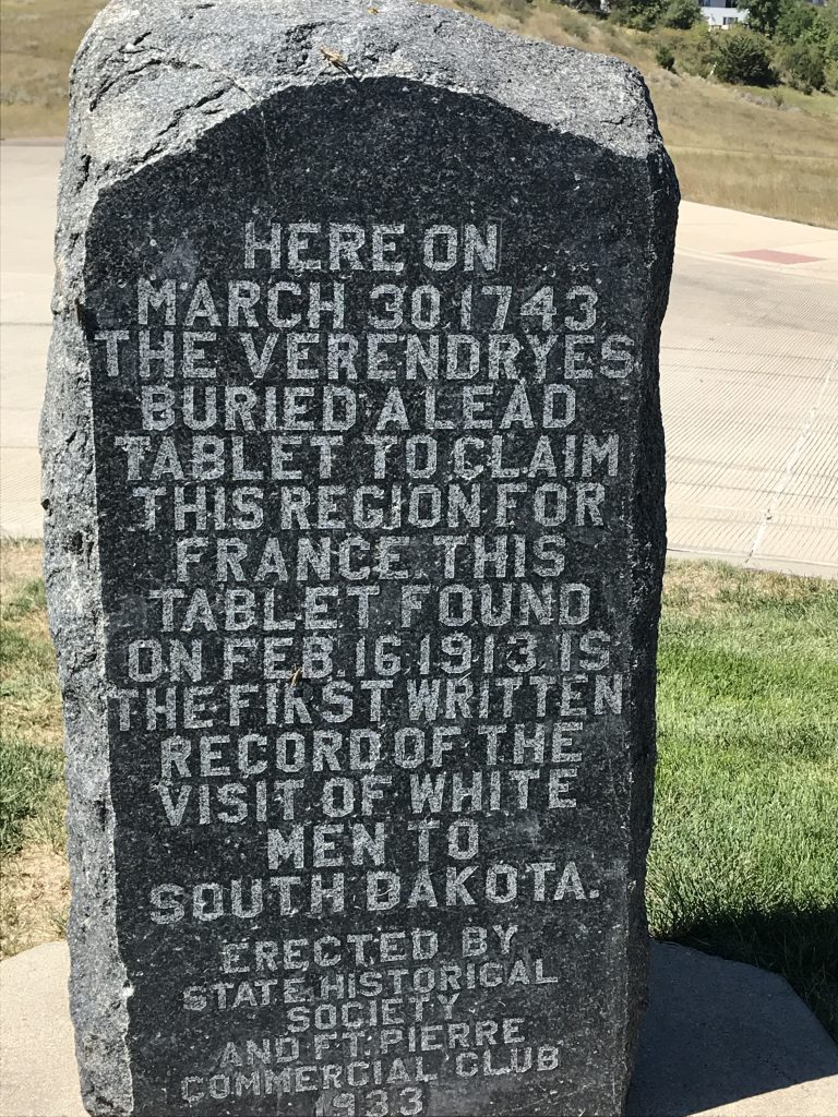
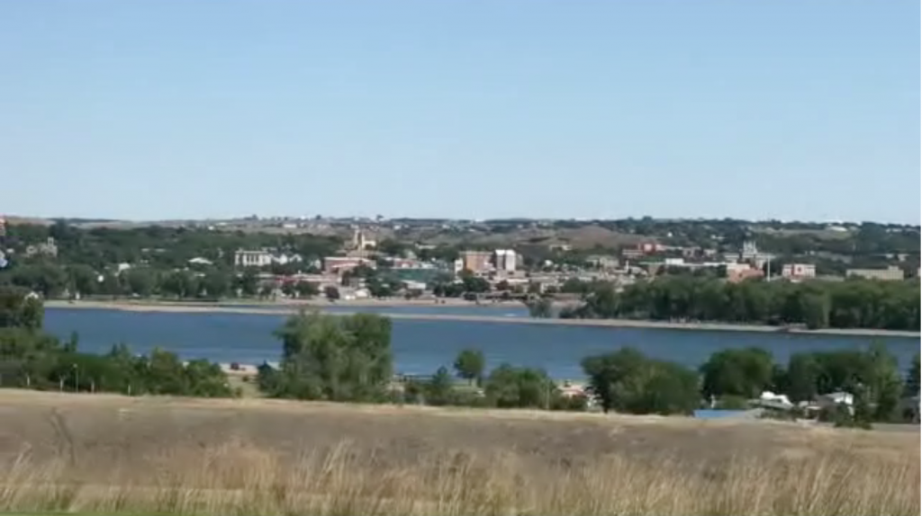
We crossed the river to Fort Pierre. Much smaller than Pierre, it holds the distinction of being the oldest town in South Dakota. It also is the location of the Verendrye Site. On March 30, 1743 Francois and Louis-Joseph Verendrye buried an 8-1/2″ x 6-1/2″ lead plate on a hill overlooking the Missouri River. It documents them as the first European explorers on the northern plains and claimed the land for France. In 1803 the area became part of the United States via the Louisiana Purchase. The plate was unearthed in 1913 by a group of local teenagers. The view from the hilltop of the river and Pierre is amazing.

The Beautiful Missouri 
Monument

Beautiful Pierre, South Dakota from Across the River
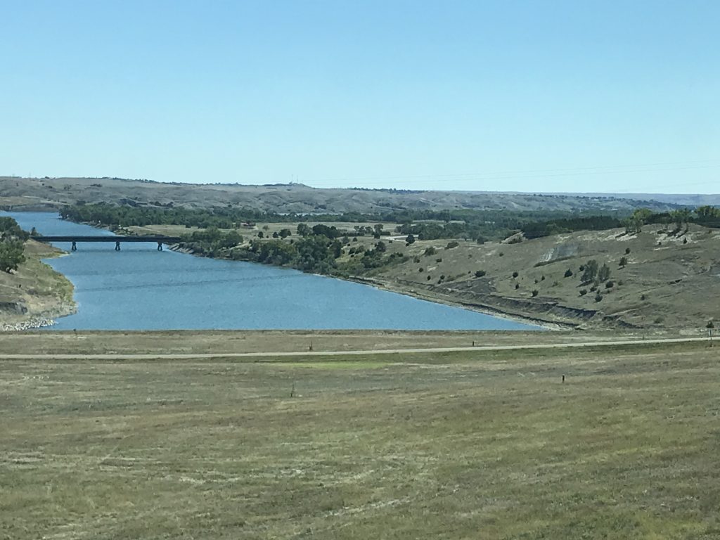
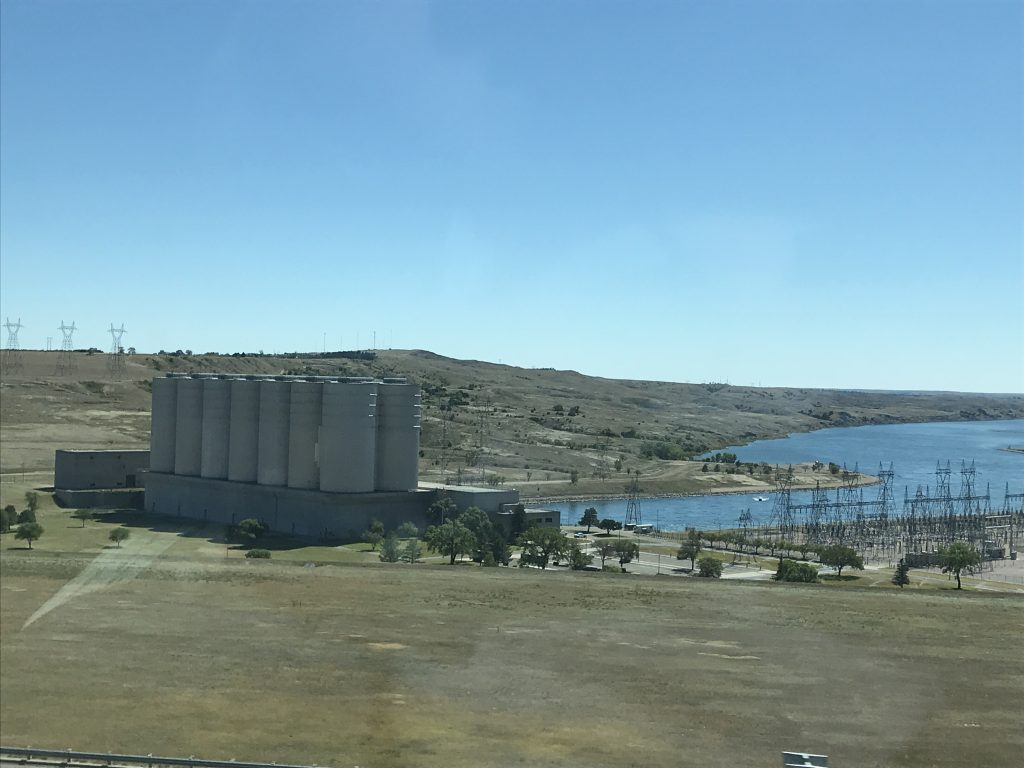
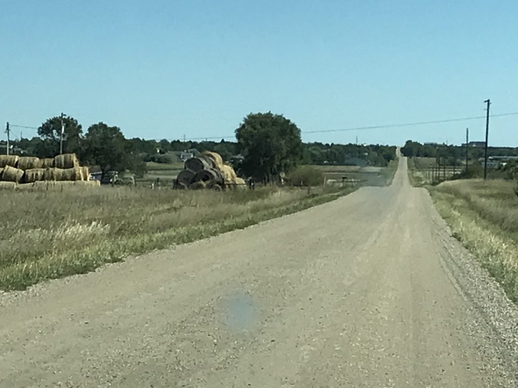
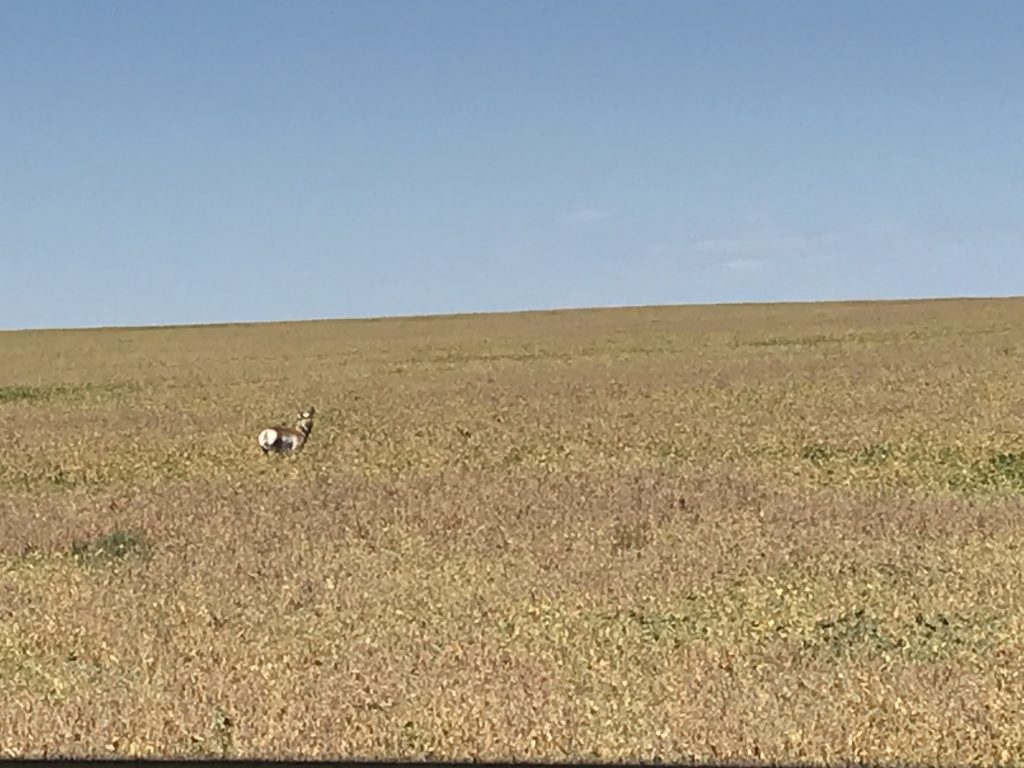
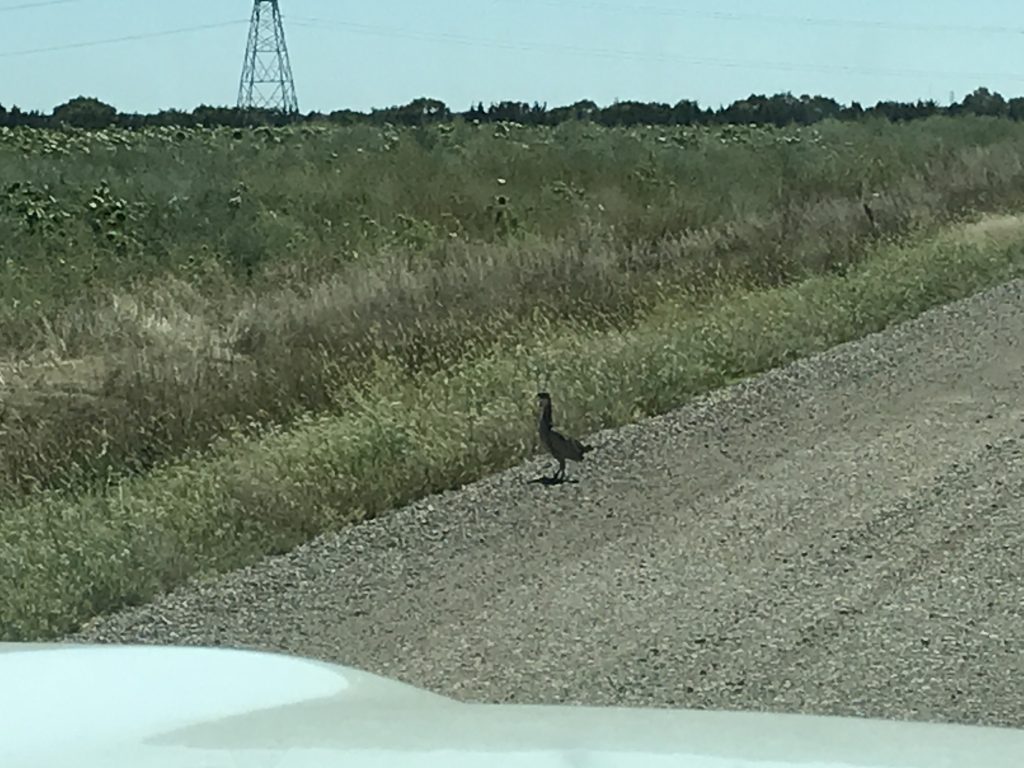
Next we headed north to the Oahe Dam before heading back over to US-14 on dirt roads (awesome). We even ended up on one of the “Minimum Maintenance – Travel at Your Own Risk” roads! Truth be told, it was better than some of the paved roads in the area. I’ve been surprised at the lack of wildlife sightings in North Dakota with all of the open space, but on the dirt road we saw a big antelope and a handful of pheasant. (Pheasant hunting is big here, and there are several signs for hunting ranches.) By the time we made it back to Petunia, I was fighting a migraine, so the rest of the evening was just relaxing. Thankfully, the neighbors appear to have worn themselves out the night before, so it was much quieter.

Oahe Dam Area 
Oahe Dam Area

Nice! 
Antelope

Pheasant 
Beautiful!
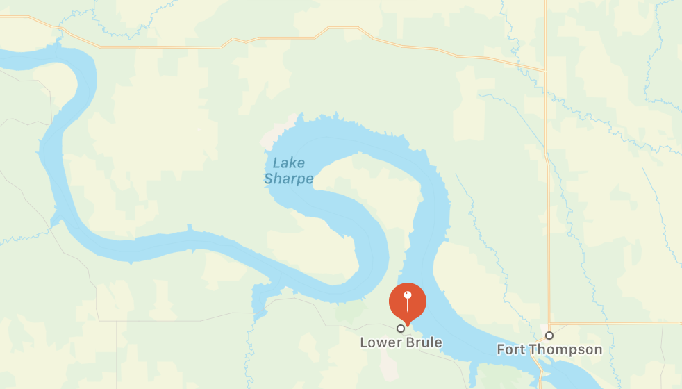
On Saturday we hung around until after lunch (still nursing that headache), then headed out. First, we turned left out of the campground and drove the long loop road out on the peninsula. Since the river’s beginning, it has meandered and adjusted to changes in the landscape. You can see on the pic below that, at this point, the big bend area forms an almost closed circle. The current is continually washing out the land on the left side at the narrow part of the peninsula. Eventually, and it will take hundreds of thousands of years, it will erode through, causing the bulk of water to continue straight instead of going around the curve. Then, as deposits begin to build up and fill in, the north part of the circle will separate completely and become a stagnant lake that will eventually dry up. The process takes millions of years, and I’m sure the dams on the river slow that down. I find it fascinating, though. Another interesting fact about this area of the river: many years ago when folks traveled on boats up and down, they would disembark at the narrow section, walk across the neck, have a picnic, and wait for the boat to pick them up. I’m sure it was a nice change of pace after being on a boat for days. As we reached the east side of the peninsula, we started smelling something different in the air. It was very strong and took quite a while to identify. Finally, we realized it was mint. There was a large field of it, and the next road we turned on was aptly named Mint Road.
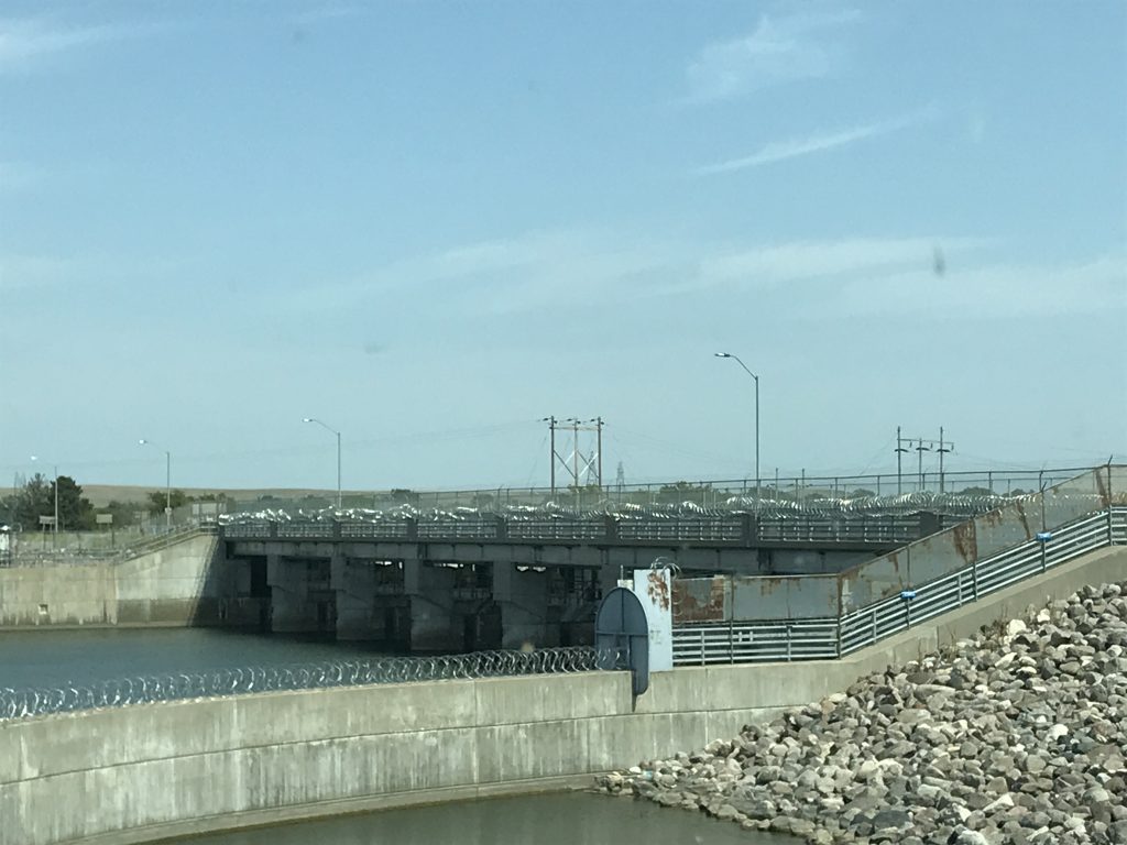
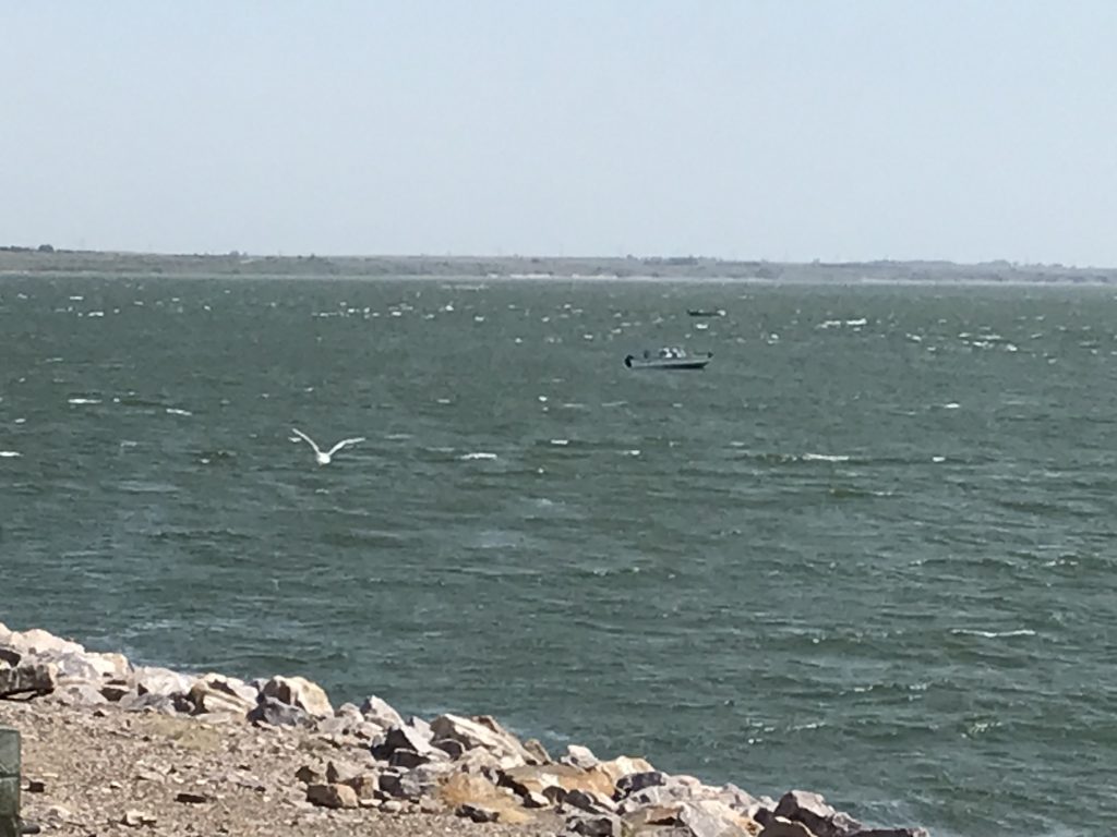
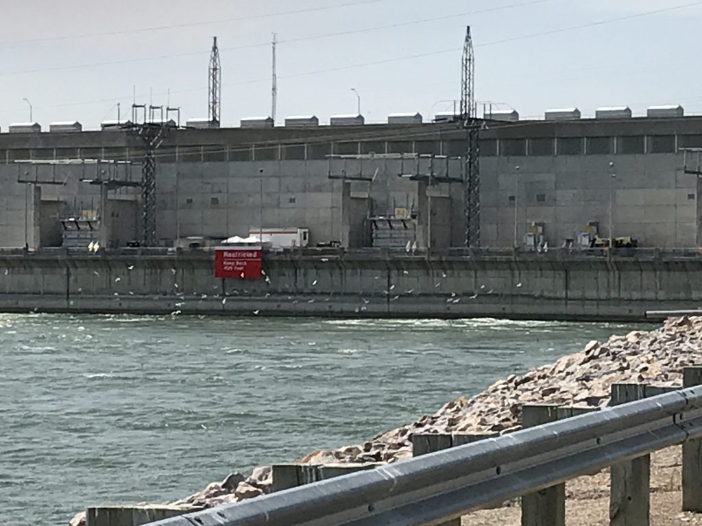
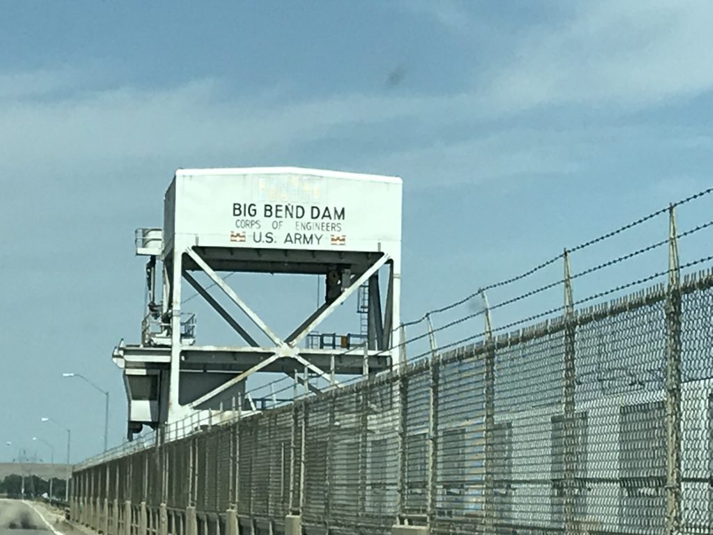
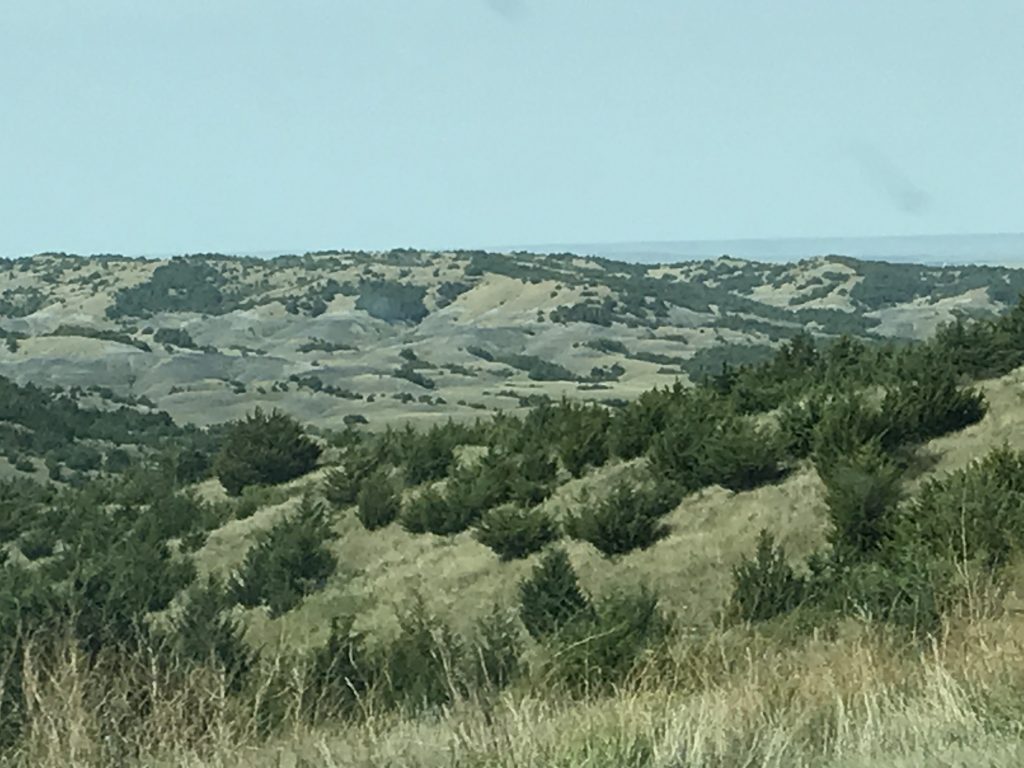
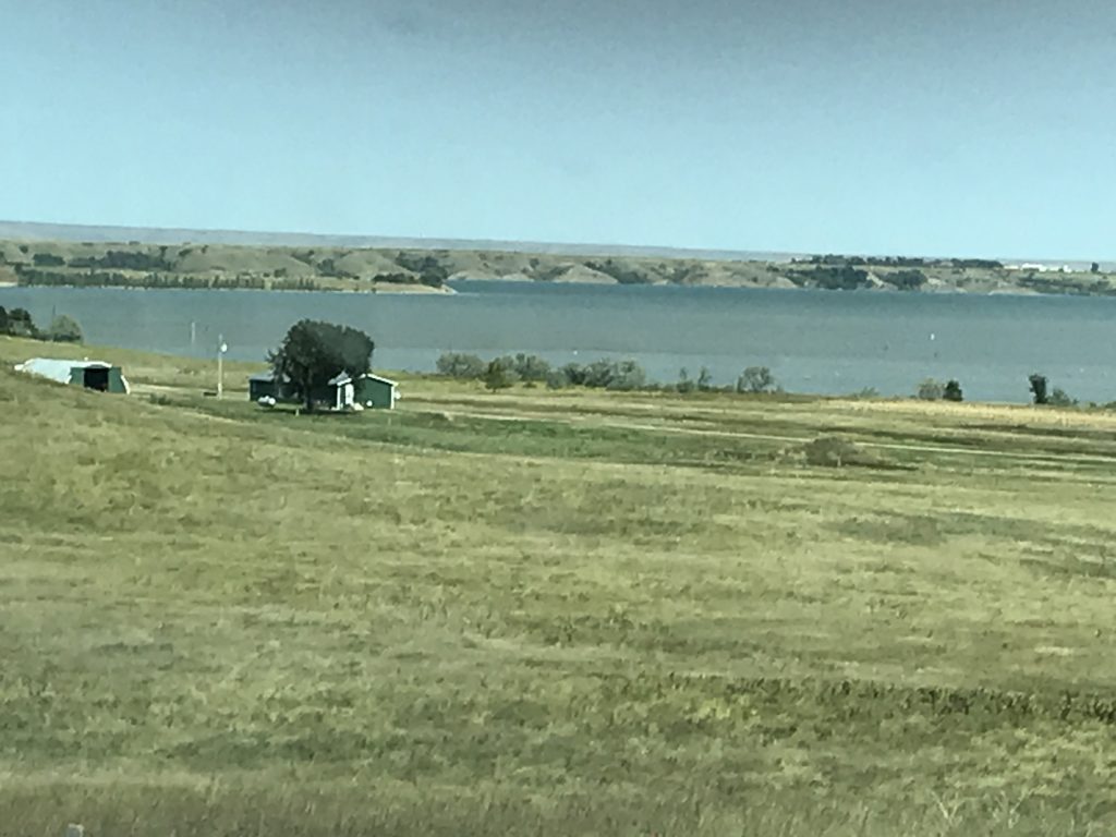
After driving that loop, we headed south to check out the Big Bend Dam, passing back through Fort Thompson. MW loves a good dam. The area is big for fishing, and there is a fairly nice campground right there, too. It was really windy, and I’m not sure how those guys were sitting still in those boats without throwing up! It wasn’t too cold, though, and was a beautiful day. The landscape around the area was rolling and beautiful, and you could see for miles.

Big Bend Dam 
Choppy!

The Gulls LOVE It! 
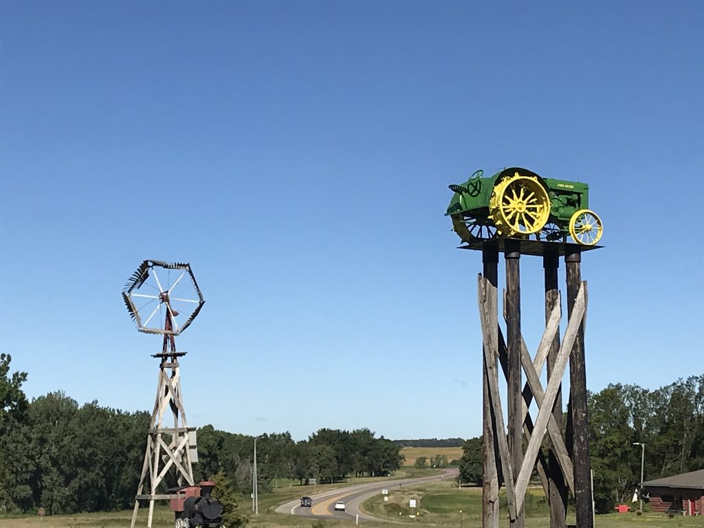
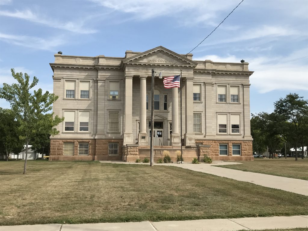
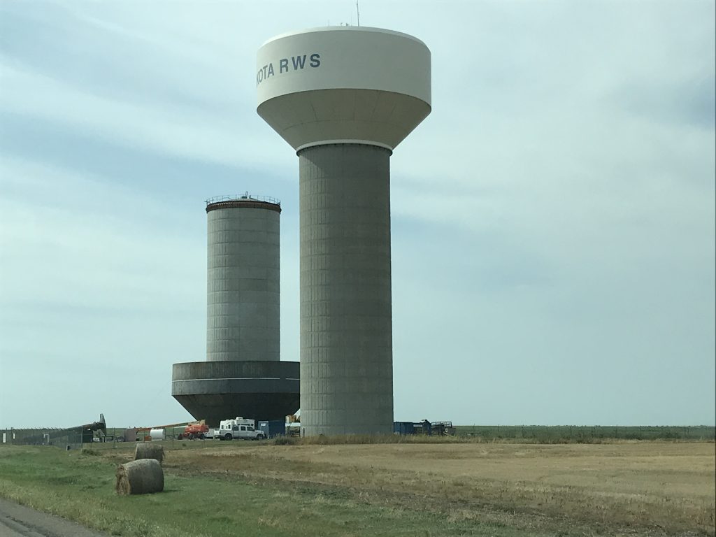
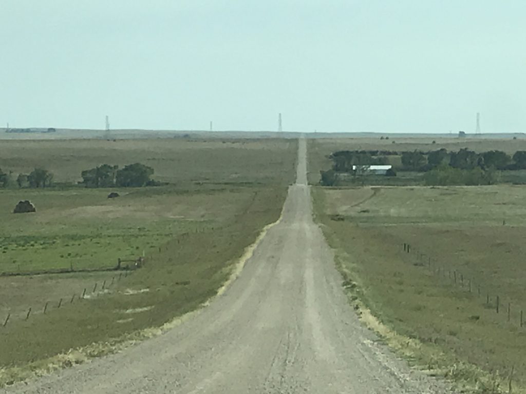
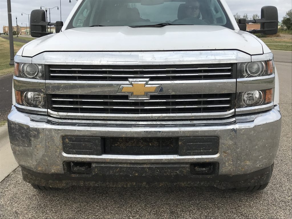
As we headed back into ranch land, we traveled north on SD-47. South of Highmore, we came upon another huge wind farm with an interesting tourist information corner where we learned a few things: 1) The turbines are computer-controlled and automatically turn into the wind. 2) The angle of the blades adjust as the wind speed changes. 3) The mechanical power is converted to electrical power at 575 volts, which is sent down the tower to underground distribution lines that go to the main substation and on to the electrical grid. 4) The tower is held in place by 120 anchor bolts that weigh 160 pounds EACH! 5) South Dakota is #4 on the list of wind energy potential. North Dakota, Texas, and Kansas are the top three in that order. Tennessee does not make the list at all. We continued north to Highmore, where we were surprised to find a large stone courthouse built in 1911. It stood out because there wasn’t much else in this grain-focused town. We turned west on US-14 and saw a water tower being constructed. (I don’t know why, but I just never gave much thought to getting the top part up there.) At Harrold we turned south on a long, dirt road to go back to Petunia. We saw a few antelope and lots of hawks, but the largest amount of wildlife was grasshoppers. The were fleeing the road in droves. It wasn’t until we got back and saw the front of Brutus that we realized we killed many more than we saw. It is going to take us forever to get that off!

Hyde County Courthouse 
Getting Ready to Lift

A LOT of Sunflowers 
Miles of Dirt & Gravel

Zoom In…Ugh!
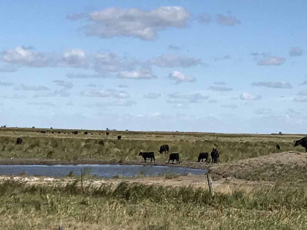
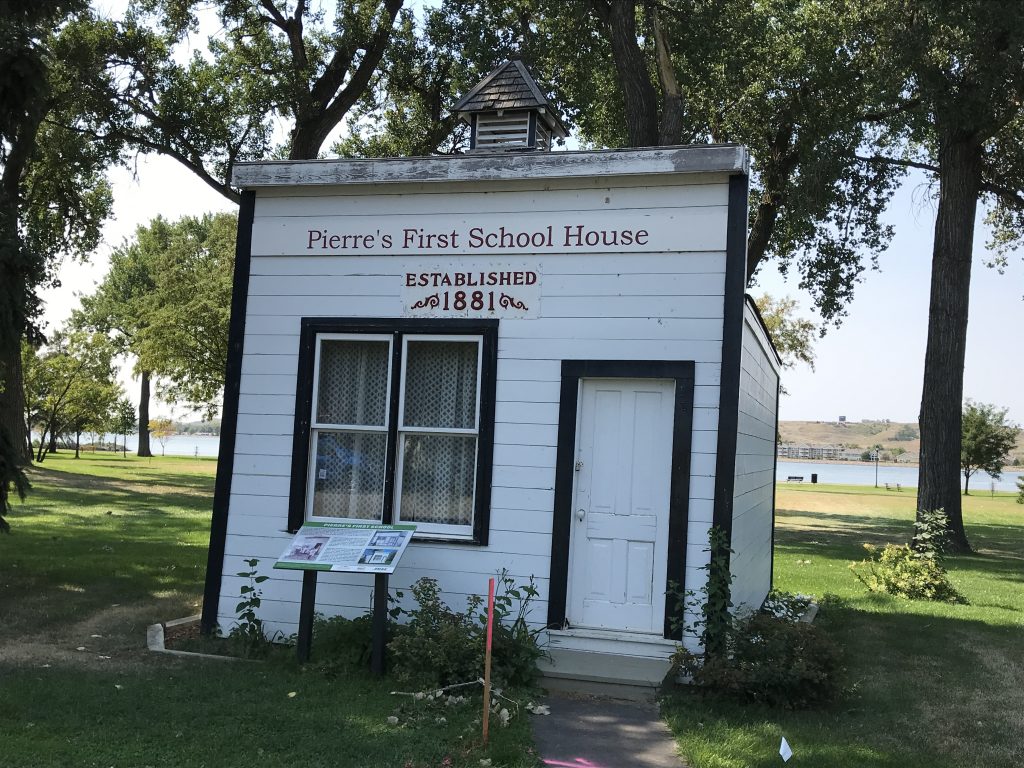
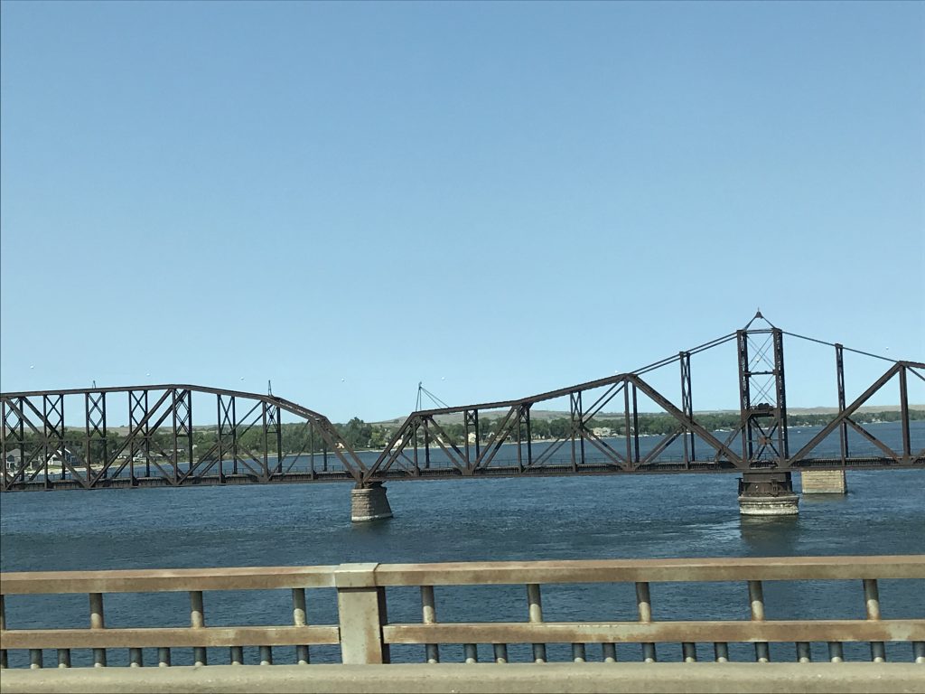
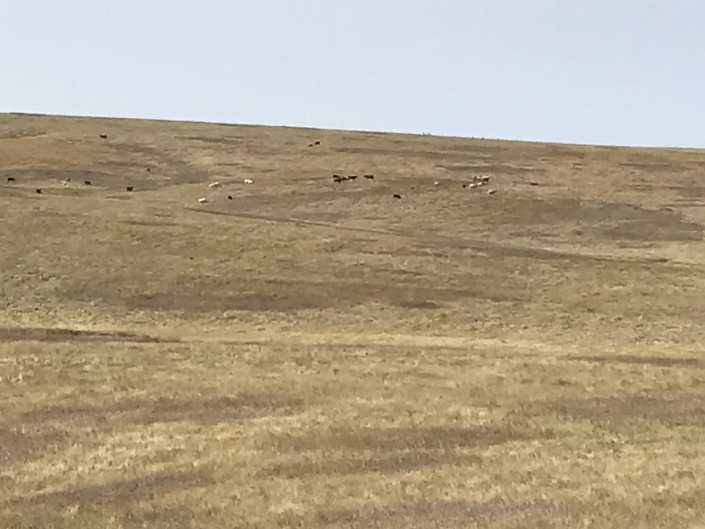
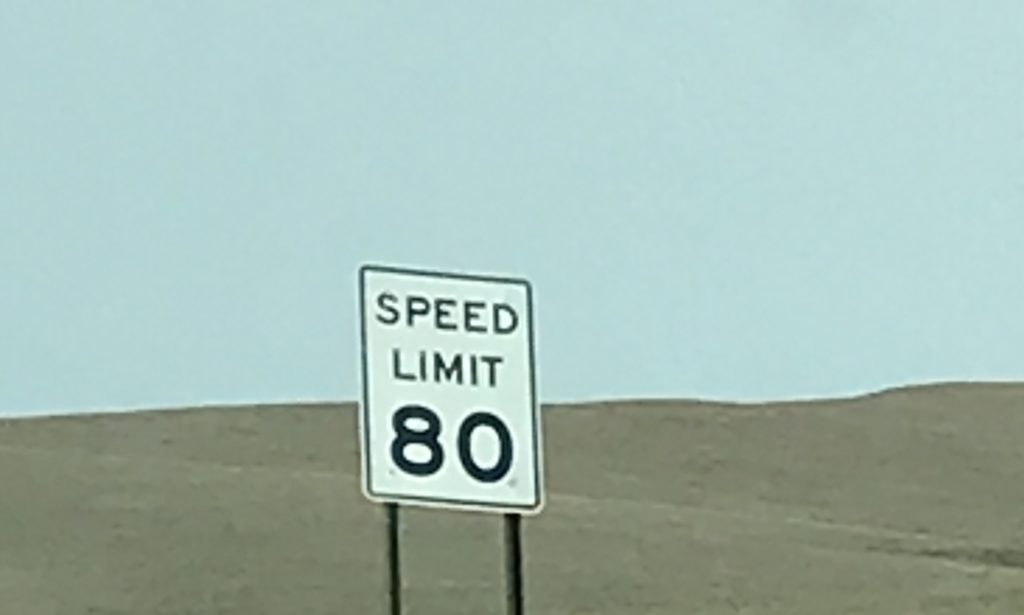
On Sunday we headed out for a long drive, first through Pierre. At Steamboat Park we stopped to take a look at Pierre’s first schoolhouse. This small, 14′ x 20′ building housed 18 students in 1881, closing when the public school opened the same year. Next we crossed Big Mo and hit US-83, which is a scenic route through the Fort Pierre National Grassland. Like some of the areas we’ve been through earlier, this is just wide open plain. There are cattle grazing, but very little in all directions showing man’s presence, except power lines. On the drive south, we finally saw a herd of antelope (maybe playing, but who knows). At I-90, we headed east, and MW was very happy to actually be able to do the speed limit since we weren’t towing.

School House 
Railroad Bridge Across the Missouri

Vast Grass 
Woo Hoo!
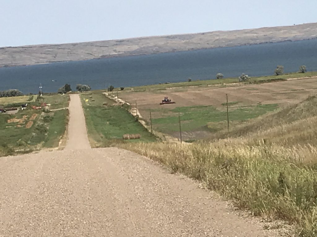
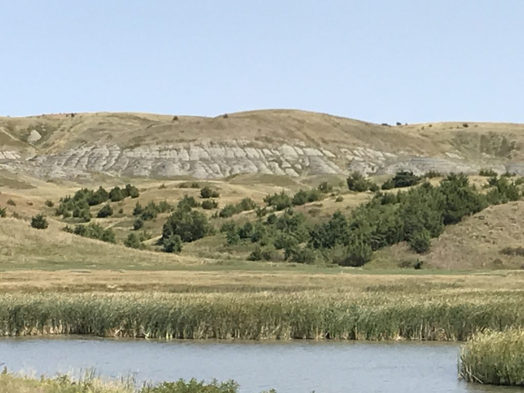
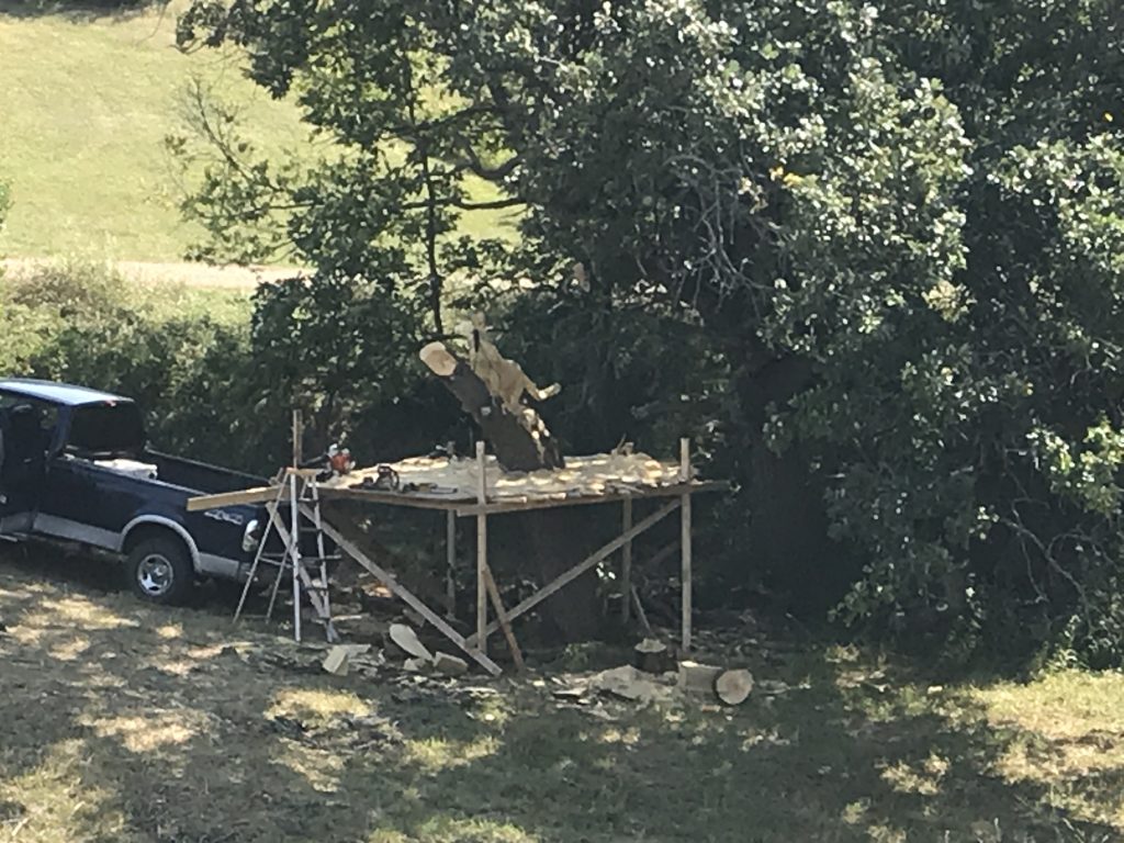
We headed north toward Lower Brule, which is on the Lower Brule Sioux Tribe Reservation. The roads were AWFUL, but the landscape was beautiful. Just before town, we were stopped by a contingent of locals. A young man came to the window (wearing a mask), and asked why we were there (to drive through to SD-47). He said that was fine as long as we didn’t stop, but he would need our names and info. Sure, says I. An older woman then jumped up from her chair and said, “Nope, they can’t do that!” Then she came around to MW’s window and told us that we were not allowed in town, even if we didn’t stop. She apologized and explained that it was in order to keep Covid out. Of course, we understood the reason. BUT, she was standing with her face about 2 feet from MW’s and did not have on a mask. It’s safe to assume she’s not really protecting anyone. No worries for us, though. We just turned south on the dirt road right there and made our way back to SD-47, zig-zagging through the ranch land. Just outside the park we saw the guy who has been working on a carving at the front edge of his property. It looks like it is going to be a mountain lion.

Reservation View 
Reservation View

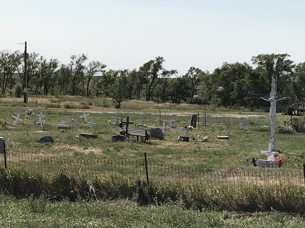
Cemetery Near Park – Mostly Wooden Monuments 
Cat Carving
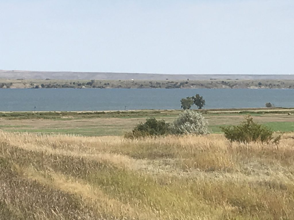
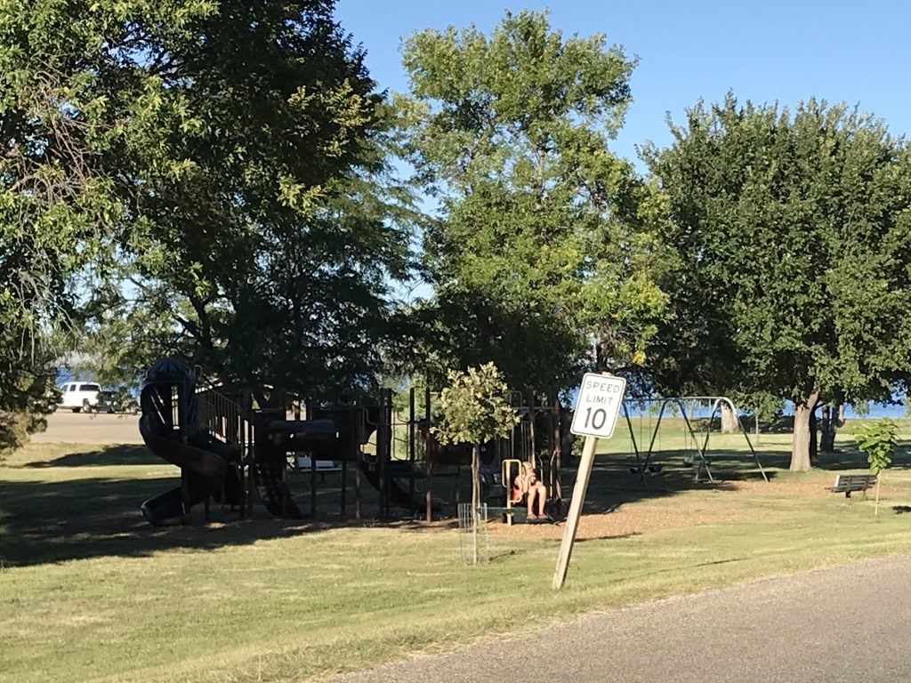
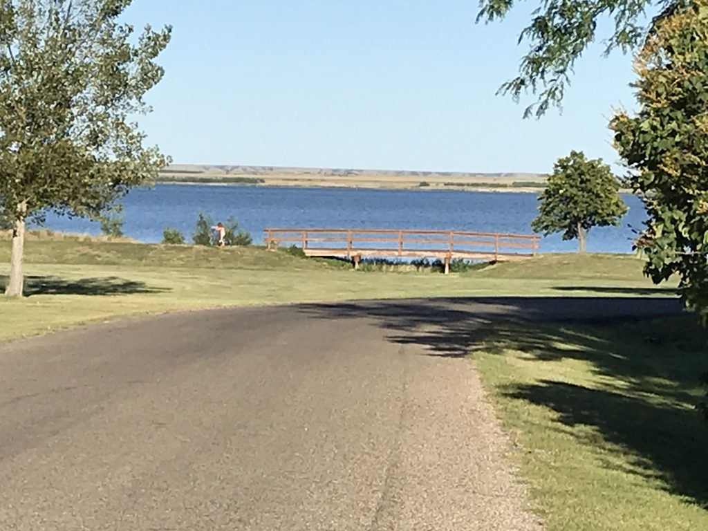
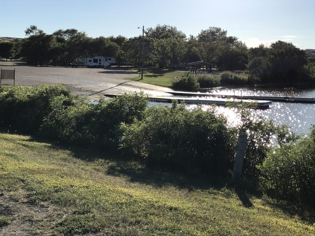
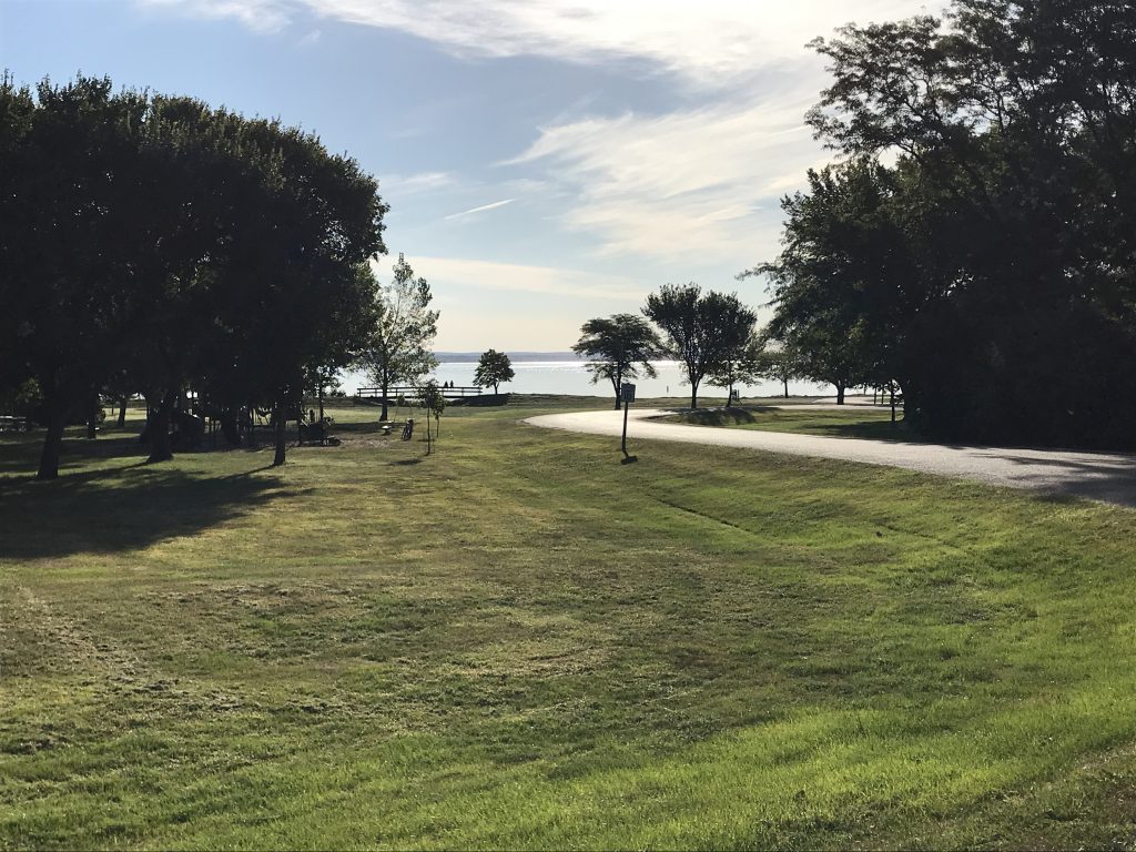
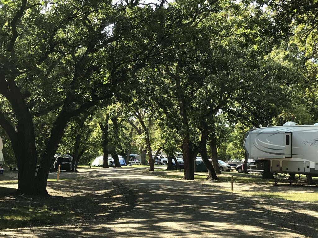
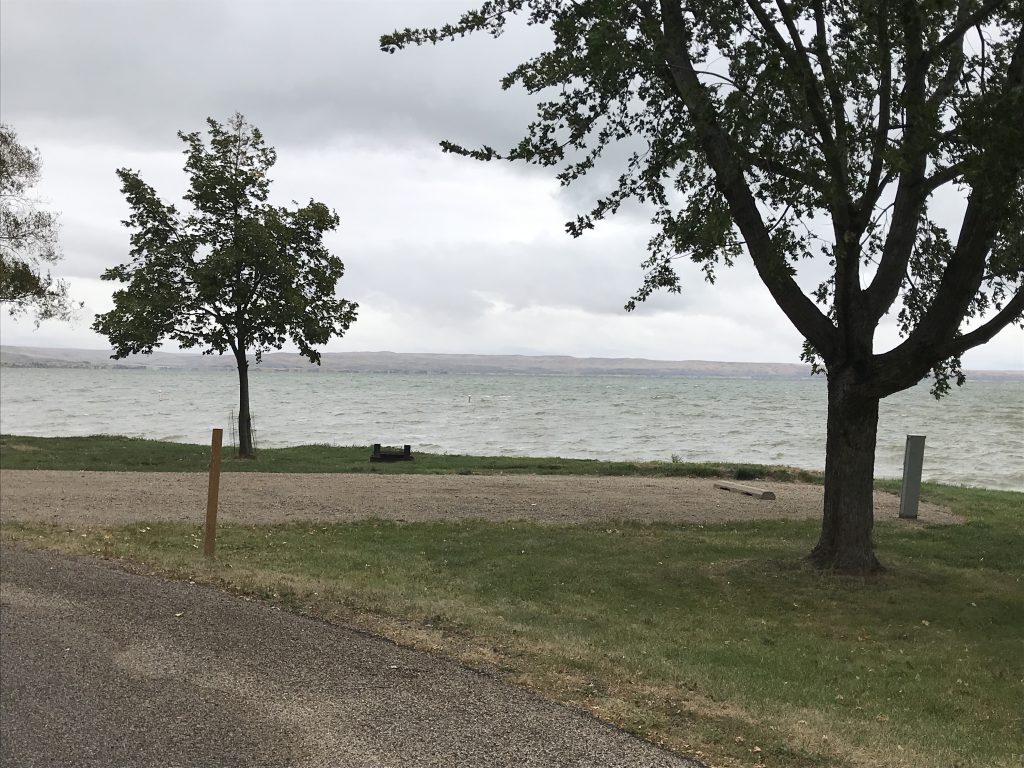
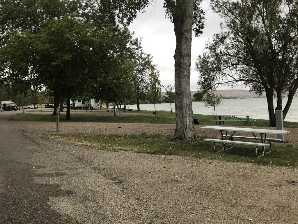
West Bend State Recreation Area is a very large, well-kept park on the Missouri River. Amenities include boat ramp, fish cleaning area, playground, and picnic areas. The campground is divided into three sections, all of which are wooded. Sections A and B have their own bathhouses, and section A has a dozen or so that back right up to the water. Section C is the most wooded and has quite a few non-electric sites and vault toilets, but no bathhouse. This park would be great for individuals, couples, or families who are not looking for a lot of stuff to do close by. The nearest gas station is about 30 miles, and the nearest restaurants are in Pierre, about 40 minutes away. Over the Labor Day Weekend, the place was packed, and we’ve already talked about the crowd. I got the impression, however, that other areas were not nearly as noisy. The park also has a little information board that talks about the area and the park with timelines. Pretty cool. There you learn that Lewis and Clark camped a few miles upstream on their epic journey in 1804. It also gives a lot of information on the Missouri River, which flows into the Mississippi (cool pic of that in here) and is the longest tributary stream in the world (although many believed that it should have been the primary river). We noticed that, unlike the Mississippi, the dams we saw on the Missouri did not have locks, which limits travel up the river.
On Monday we stayed put and watched the mass exodus. At one point the line for the dump stations (2 lanes) was about a dozen RVs long. We were so happy to see the neighborhood party packing up. In fairness, the evenings were quieter as they wore themselves down, but just listening to yelling and cussing all the time wears me out. I told MW I was going out to see them off…big smile on my face, waving with my right hand, flipping them off with my left. (No, I didn’t really, but he almost had coffee come out of his nose at my demo. LOL) We took a long walk around the park in the afternoon, where there was one new trailer and seven others left, including us and the two camp hosts. Wow! We enjoyed the quiet evening, although indoors because the wind was kicking our butts.
Next up…The Badlands, Bears, and Bikers. See you on the path!
Talisa
P.S. If you enjoyed this blog, like and follow us below, and please SHARE, SHARE, SHARE on social media!
Leave a Reply