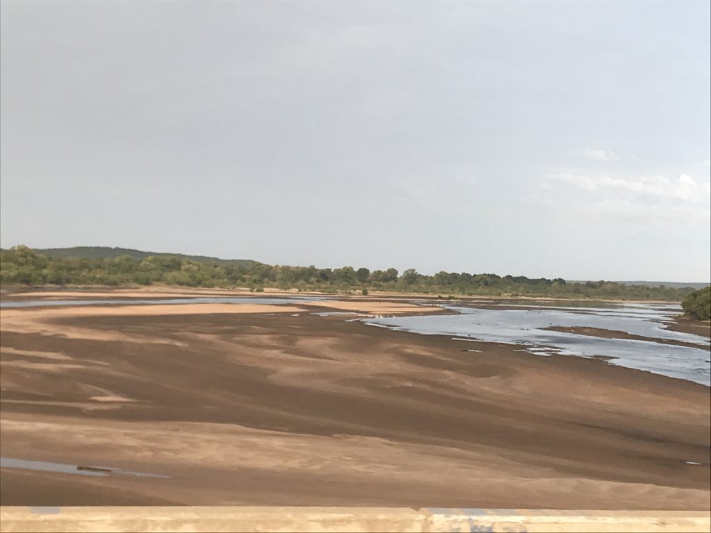
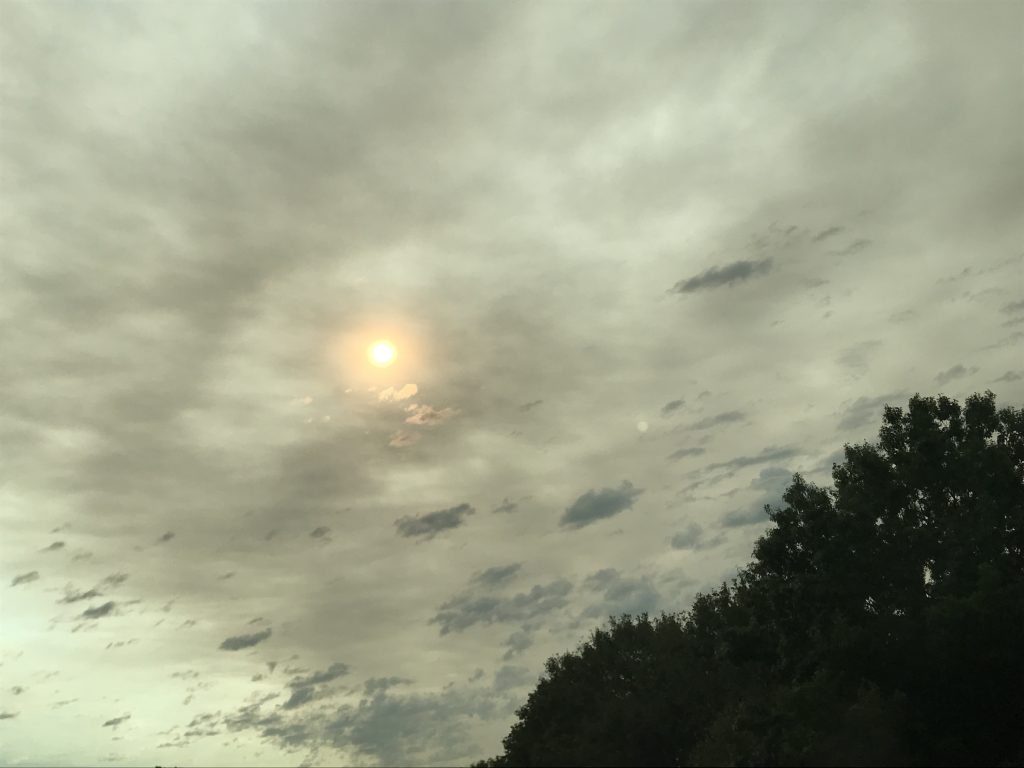
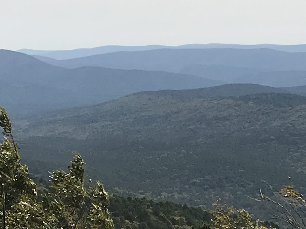
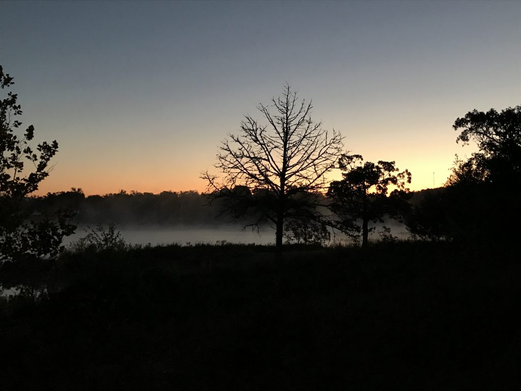
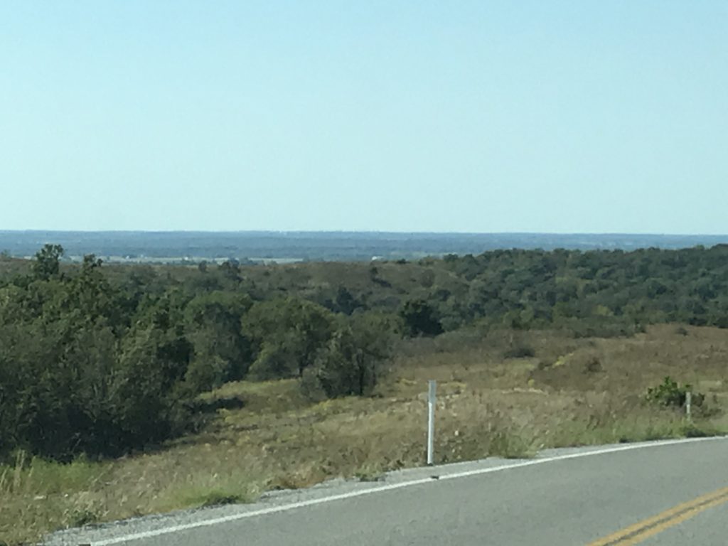
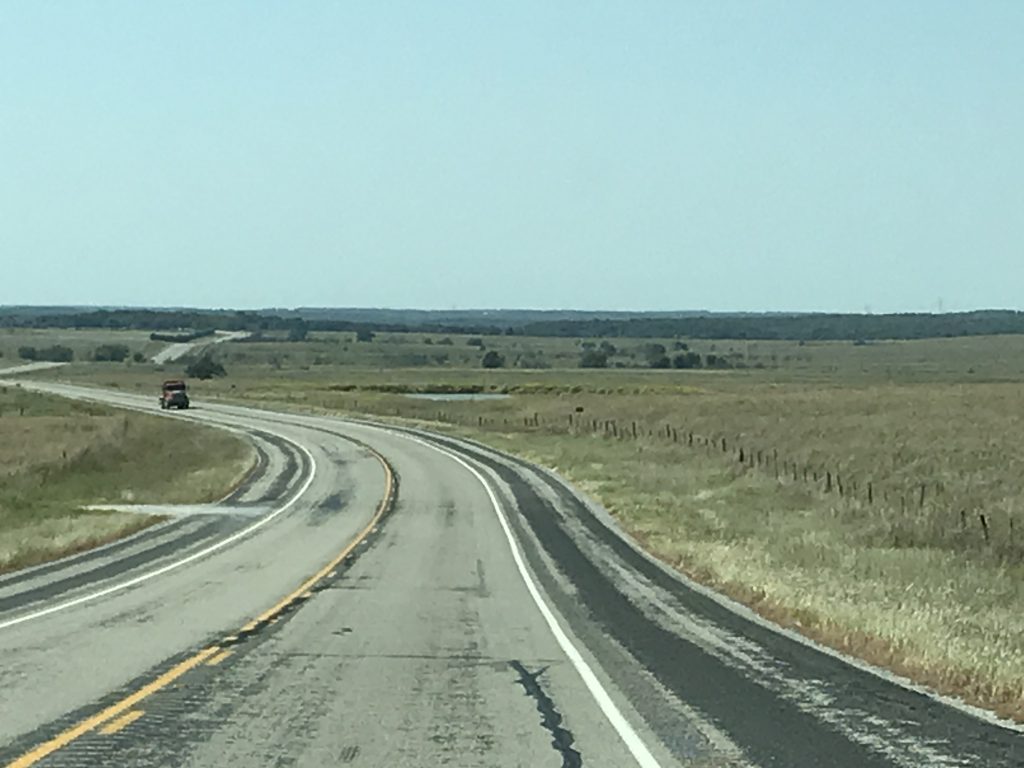
On Thursday we hit the road heading south on OK-51. We crossed branches of Keystone Lake, then the Arkansas River. The latter looked REALLY low! We zig-zagged east on US-64, then south on OK-97, where we started to notice the odd colored clouds. You guessed it…smoke. I checked the smoke map, and Oklahoma had a couple of fires out towards Enid that were contributing, but the majority of the smoke was circling up from Northern California, over the Mullen Fire area (which by then included some of Colorado), then sweeping through parts of Nebraska, Kansas, and Oklahoma. Wow! (I checked the update just now, and it is up to 127,502 acres, with 1,057 firefighters working it, and evacuations are being expanded.) The closest I’ve ever been to a wildfire was when MW (Mr. Wonderful) was stationed at MCAS El Toro in Southern California. There was a fire in the mountains west of us, but the worst we saw was ash all over the truck, and we were never threatened. I think if I lived in a fire-prone area, after the first time I felt helpless, I’d move! Of course, then you have to find someplace without floods, tornados, hurricanes, etc. I guess every place has its own sack of rocks.

Arkansas River Orange Sun in the Edge of the Smoke Clouds
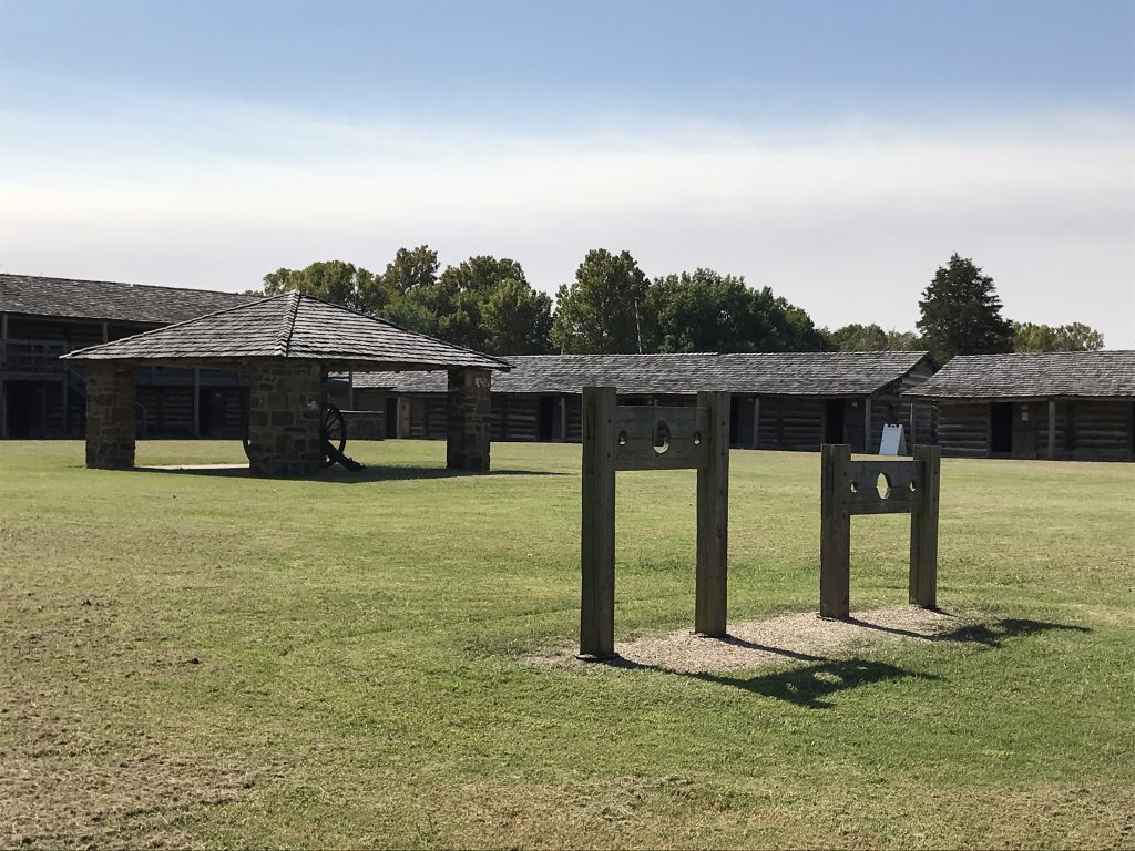
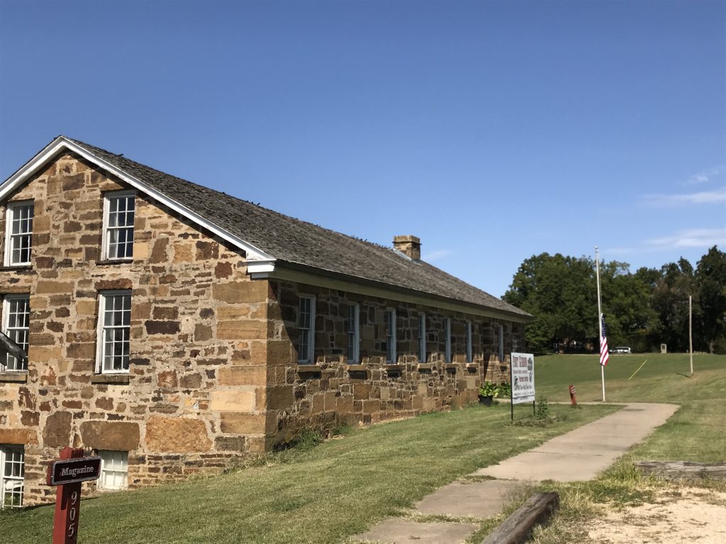
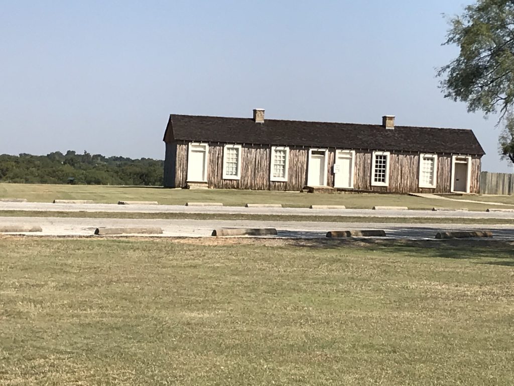
Just north of Mounds we turned east, joining US-64 down to Haskell, then east. Thus far the roads we had traveled were kicking our butts! We finally arrived at our first stop for the day, Fort Gibson around 11ish. This had two objectives: 1) To check off the oldest town in Oklahoma, nearby Fort Gibson, established in 1824 by military families and others desiring the protection offered by the nearby fort. 2) To give MW some military time. I like walking around and looking at these old forts, but MW LOVES it! (He once spent an hour in the middle of a field where a Revolutionary War battle was fought, picturing troop movements and playing the battle out in his head. I sat on a bench and watched him, enjoying the weather.) For many years prior to the establishment of the military Fort Gibson, troops out of Fort Smith had been trying to suppress the conflict between the Osage and Western Cherokee tribes, as well as protect the settlers in western Arkansas. By 1824 it was evident that the garrison needed to move west, and this fort was established in the Three Forks Region, where the Arkansas, Neosho (Grand), and Verdigris Rivers come together, in what would become Oklahoma. Eventually this area was set aside for the relocation of native tribes from the southeast. The Indian Removal Act of 1830 (Andrew Jackson’s legislative baby and the result, largely, of land greed) forced the relocation of the Five Civilized Tribes – the Cherokee, Chickasaw, Choctaw, Creek (Muscogee), and Seminole. Over the next 20 years, around 25 million acres of tribal land was basically stolen from the approximately 46,000 Native Americans relocated and thousands who died along the way. (Nearby Tahlequah was the end of one of the routes of the Trail of Tears.) During that time, Fort Gibson assisted in the distribution of rations, supplies, and equipment to the tribes and tried to keep things in check between the Plains Indians and the new arrivals. (I’m sure the Osage were none too happy about Jackson’s plan!) In 1857 the troops were withdrawn and the land and buildings were given to the Cherokee Nation. Federal troops took it back in 1863 for the Civil War and the Indian Wars, then withdrew again in 1871. As the railroads came through, outlaws, squatters, and undesirables poured in, and the fort was again occupied by troops in 1872 and remained active until 1890 when it closed for good. The stockade that is there now is a re-creation by the New Deal Works Progress Administration (WPA) and is a bit smaller than the original. It is also higher up the hill from the river as the other location was prone to flooding. They did a good job of putting it together and mapped out all of the existing buildings (including those that are privately owned) and ruins in the area that were part of the original, huge fort.
Stockade

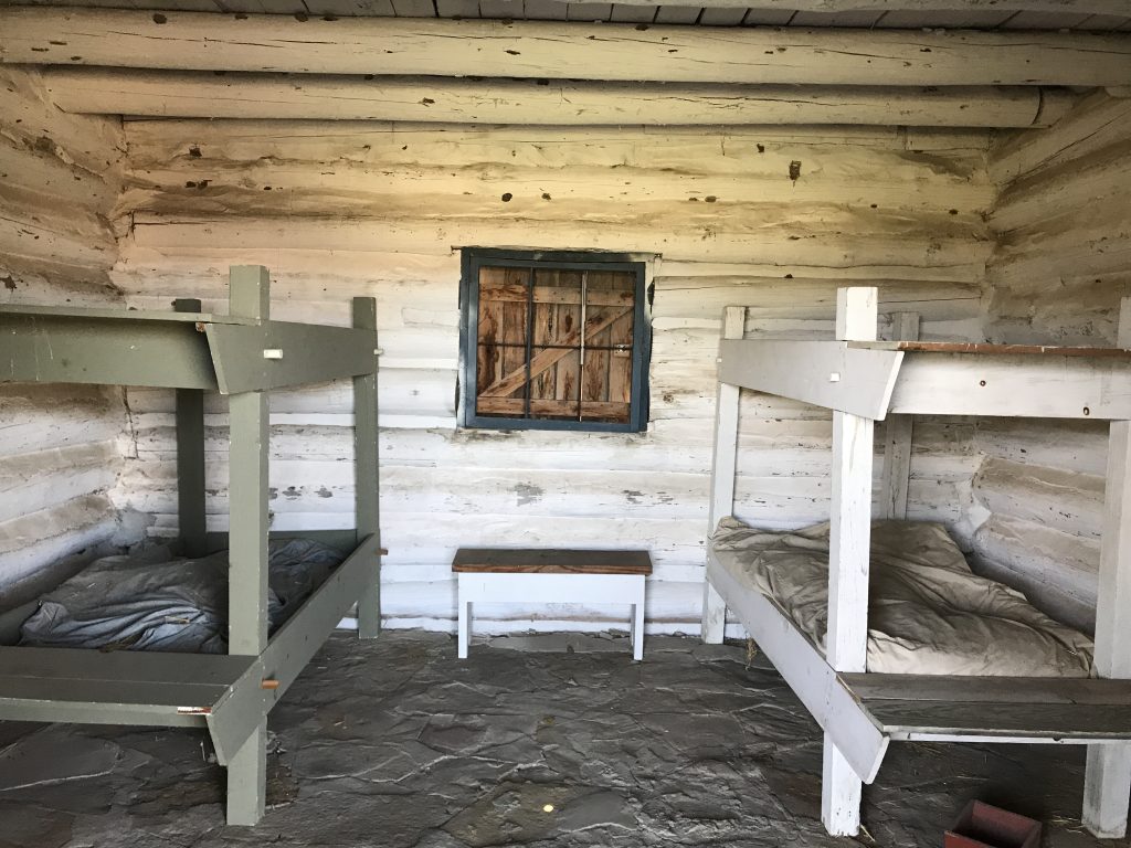
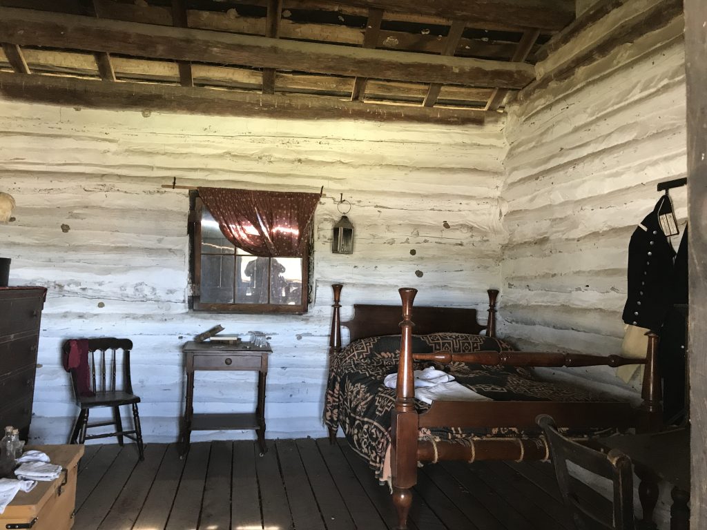
Enlisted Quarters Senior Enlisted Quarters
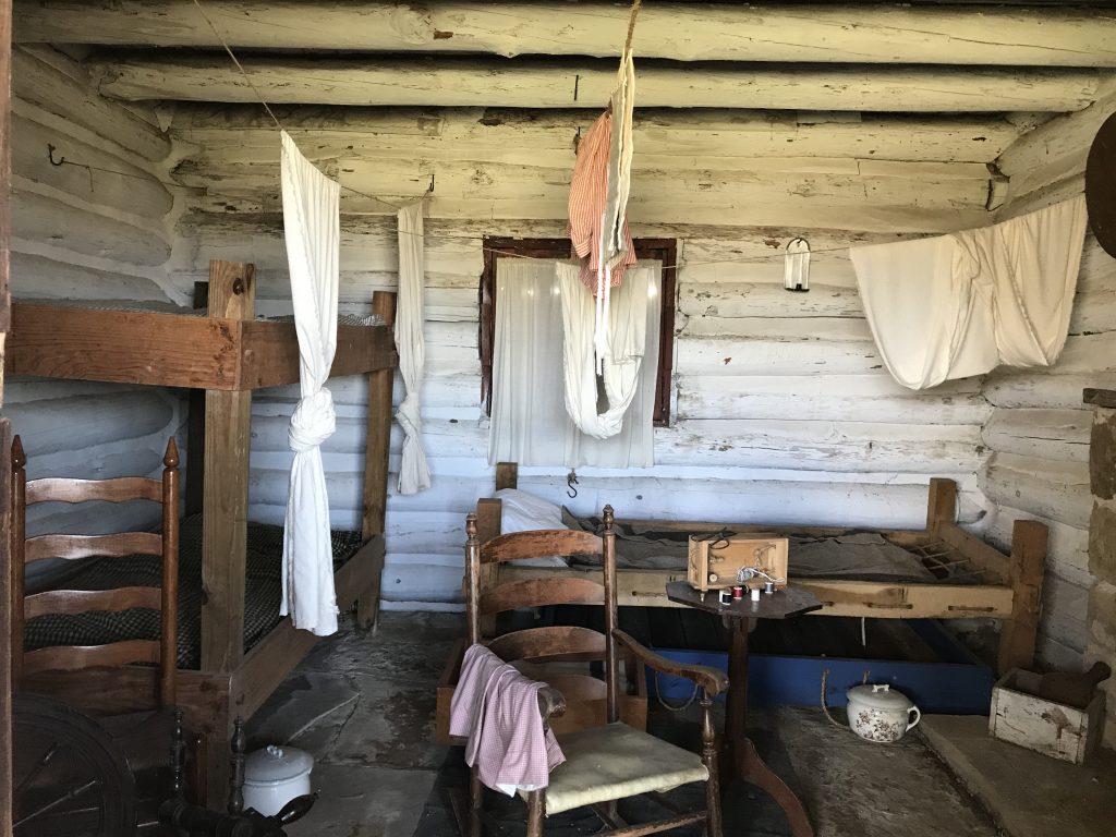
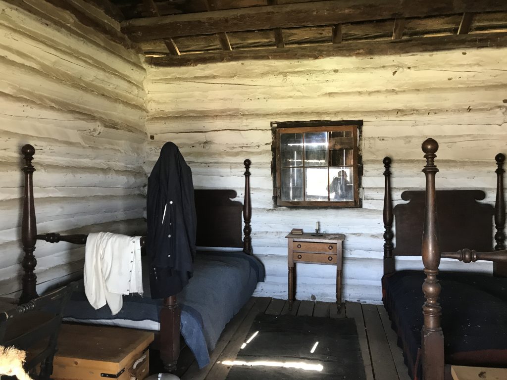
Bachelor Officer’s Quarters Married Officer’s Quarters
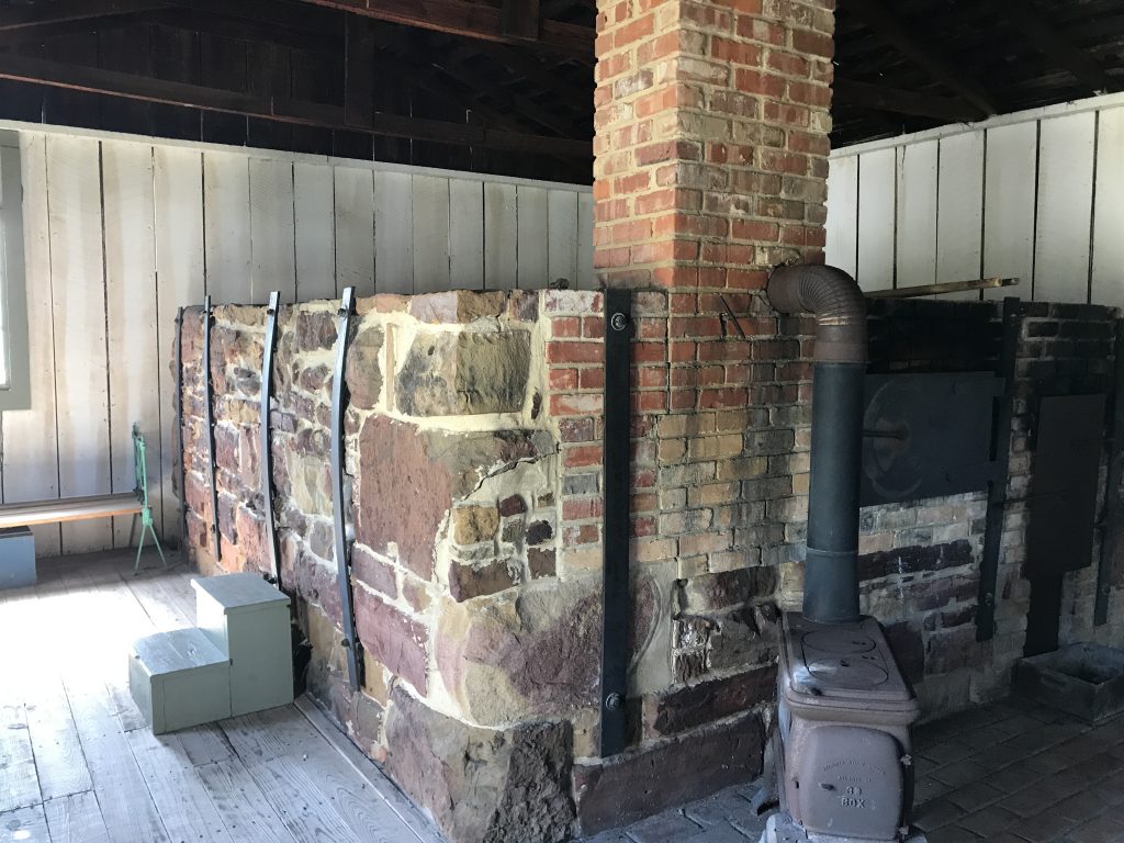
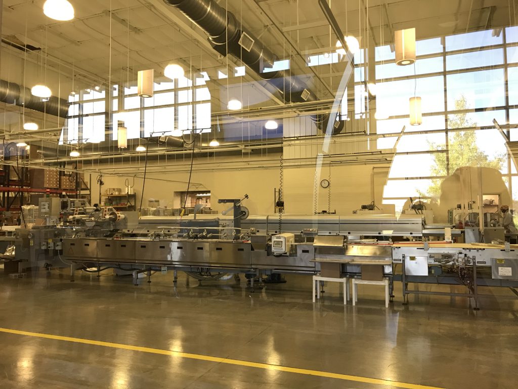
Oven in Bakery – Takes Days to Get Up to Temperature
SQUIRREL: When I was a child and my sister gave me something, then took it back, I called her an Indian giver. I realize that is uncool, now, but bear with me. If it was the government who gave and took away from the Native Americans repeatedly, how the hell did that phrase come about? Well, I looked it up. It was based on European dealings with indigenous peoples. Generous natives would give them things thinking they were trading, but the Europeans took them as gifts. Seems like that is misunderstanding on the part of the Europeans. Let’s just think about how that might play out. A Native American gives me a lovely beaded necklace. Now, I know he didn’t get those beads and string from Hobby Lobby, so there had to be a lot of work in making or acquiring the materials prior to the actual work of making the necklace. Shouldn’t I feel that I should give him/her something in return from the vast trunk of European richness that I carted over with me? No? Okay, let’s just blame the Natives for being greedy. In our American history we took the land from the Native American tribes and gave them other, inferior land. Then, on several occasions, we took back that land when gold was discovered (or anything else of value). In the case of Fort Gibson, we gave it to the Cherokee, then 6 years later showed back up to take it back. What the hell? My Mama taught me better than that. Interestingly, there was a recent Supreme Court ruling (McGirt vs. Oklahoma) that is paving the road for reservations that were dissolved erroneously when Oklahoma gained statehood in 1907 to be reinstated. Finally, a win for the natives!
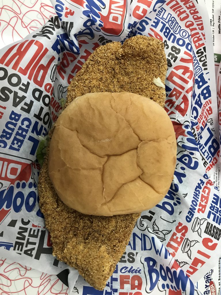
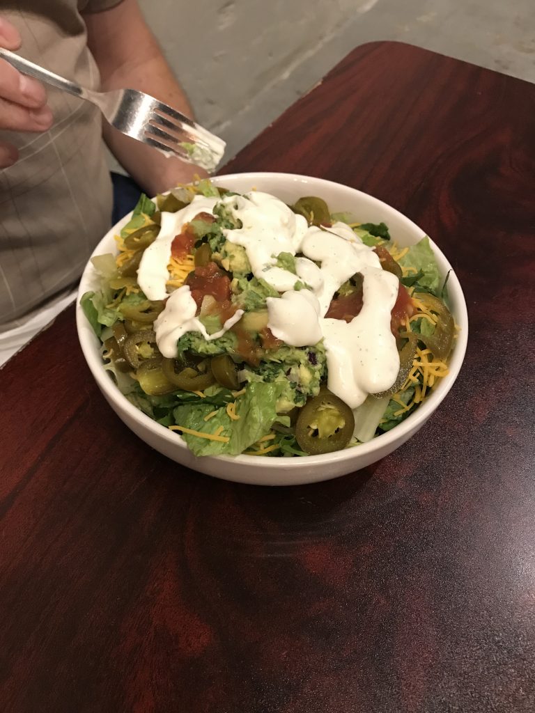
After walking around for quite a while at the garrison, then driving up the hill to see the rest of the buildings, it was time for lunch. On the recommendation of the hostess at the fort, we headed into town to check out the Boom-a-rang Diner. (It reminded me a little of a diner not too far from our old house in North Carolina, the Center Grove Grill.) An Oklahoma chain, they had a bright, retro-themed dining room with some terrific, rarely heard oldies playing. The menu had a little bit of everything, but was not overwhelming. They serve breakfast all day, burgers, sandwiches, and dinner plates. They are also known for their shakes and fried pies. The Fish Sandwich was a filet hand-breaded on site, so I had to check that out. It was definitely fresh and totally delicious. MW had their Real Reuben Sandwich and a Vanilla Shake, which were good, too. We also shared the Pickle-O’s…yum! (Larry, you would have loved them!)
Look at the Size of that Fish! That’s a Normal-Sized Bun!
After lunch we ran into the grocery store to pick up breakfast fixin’s, then drove through town on our way south on OK-10 to Gore, and zig-zagged southwest to Porum, where we hit OK-2 south all the way to our destination. There are some huge, very beautiful lakes in this eastern part of Oklahoma, and we passed between Robert S. Kerr Lake and Eufaula Lake (the largest in Oklahoma at 102,000 acres and 600 miles of shoreline). As we continued south, the Sans Bois Mountains rose up ahead of us. The peaks in this area aren’t terribly tall, but they are a drastic change from the mostly flat to rolling land we have been traversing. We entered forests of hardwoods and pines, but noticed that neither seem as tall as those in Tennessee.
I’m truly not kidding when I say that the roads we traveled today were rough. We stopped along the way for me to use the bathroom, and I found things that had been thrown out of the rear cabinets everywhere! Unfortunately, that included my printer, which normally lives on the bottom shelf of the cabinet over my desk when we are in motion. It was in the floor, upside down and in three pieces. To get there, it had to bounce off of the desk. No good! When we got set up at the campground, I first had to dig out everything in the floor beside the slide…not an easy task since I had to squeeze my fat butt between the slide and desk, then contort to reach the floor! I managed it, then put the slide out to continue the cleanup. An almost full Pringles can had emptied out, and potato chip pieces were all over the place. Lots of work folders and paperwork were strewn around, too, as well as several other snack packages. After getting that all up, I started putting the printer back together. The good news was that none of the pieces were actually broken, just popped off. It took me a while to figure out how they meshed, then later I gave it a test run printing out invoices. IT WORKED! (For those who want to know…it is an HP OfficeJet 250 Mobile All-in-One. I’ve had it for a couple of years, and even after being carried around to meetings and thrown about, it still works great.) What a blessing!
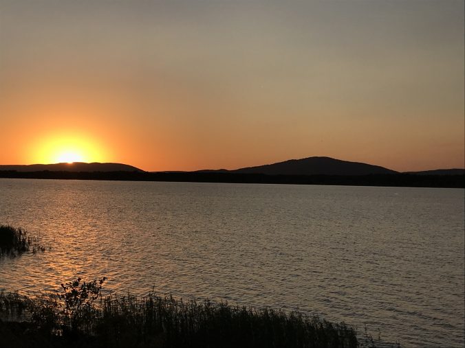
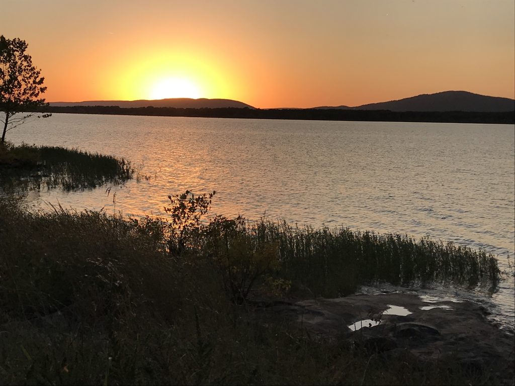
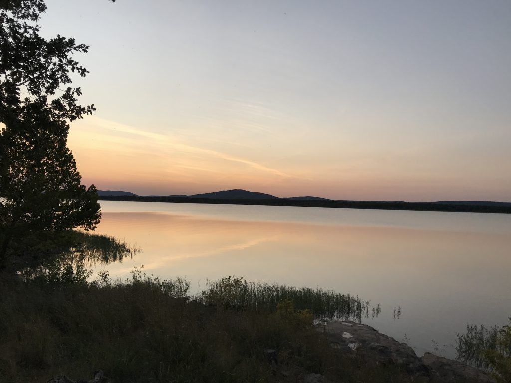
Our site was right on the lake, and the wind made the 76 degree temps feel cool. This was going to be a nice weekend! We enjoyed the weather for quite a while, then took a good walk around the park before having leftover chili for dinner. I did catch a GREAT sunset pic for you, too!
Sunset on Sardis Lake
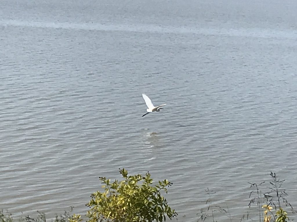
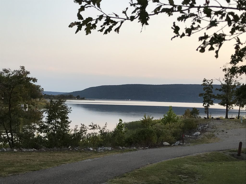
Friday it was time for me to get some work done, but alas, no internet at our campground. I headed out to find some wifi. Thanks to directions from the young lady working the front gate, it was easy. The Choctaw Country Market is a convenience store and gas station on one end, a grocery store on the other, and a restaurant in the middle. They do your basic sandwiches, fries, etc., plus have a hot bar with meat and three plates. I set myself up in their dining area, had a little lunch, then worked for several hours. Having made a good dent in the To Do list, I headed back to the campground about 3:30 PM. The weather was not as windy as this morning, and we were able to sit outside and enjoy the lake.
Egret Flying Low Another Beautiful Sunset
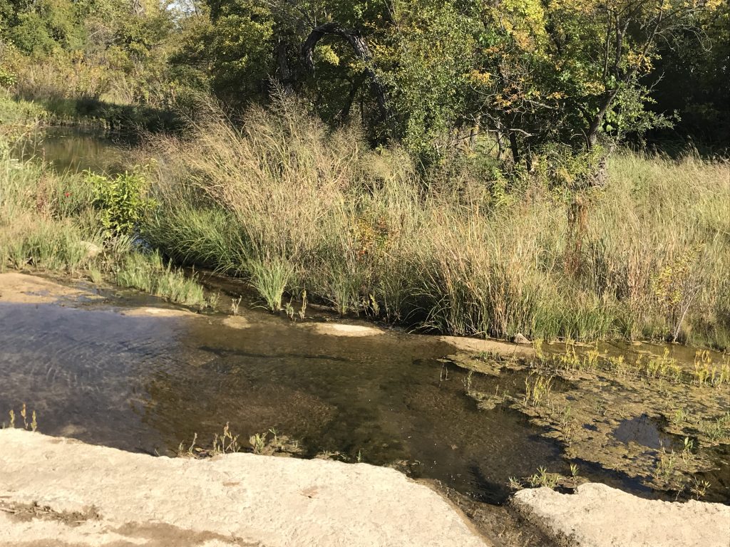
Calm Waters
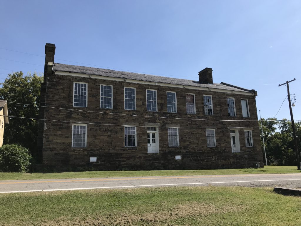
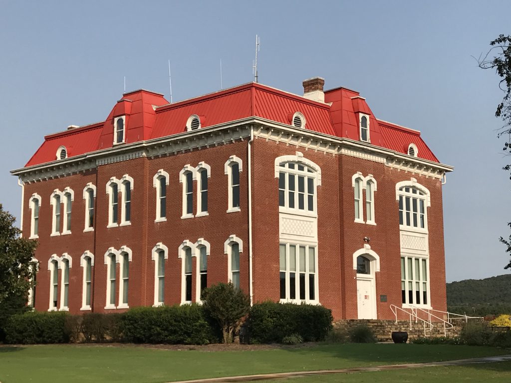
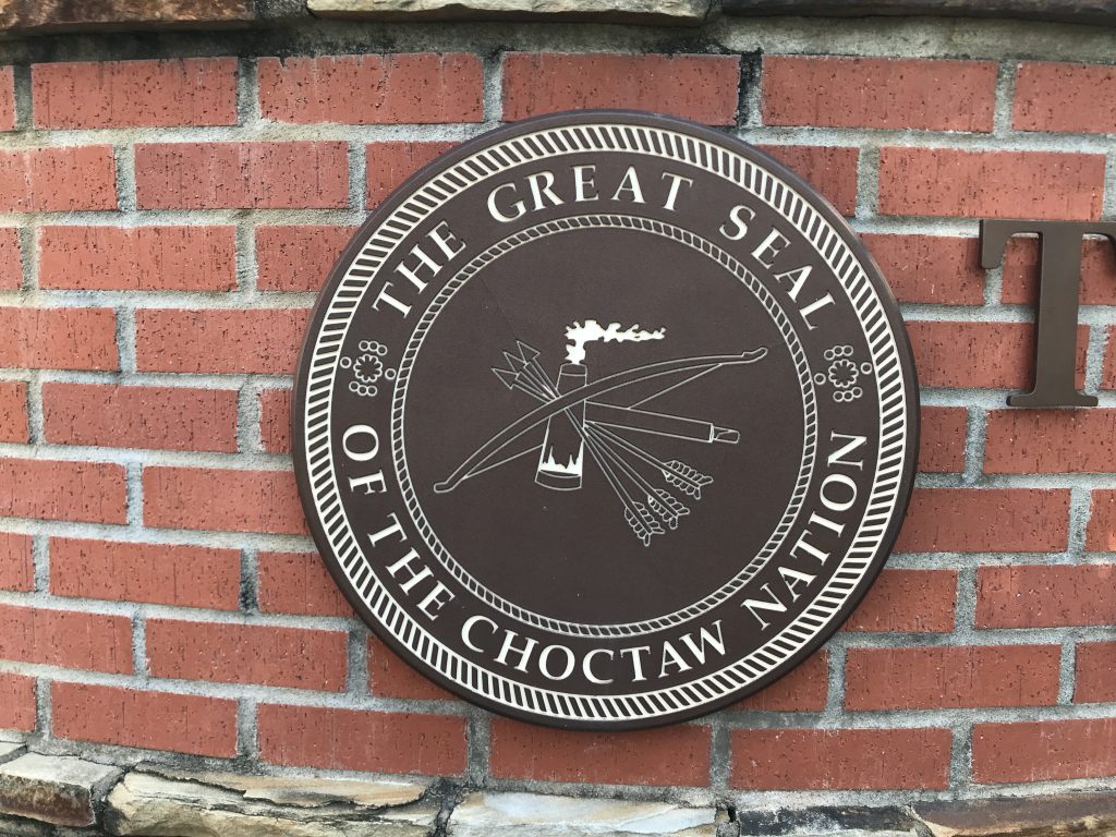
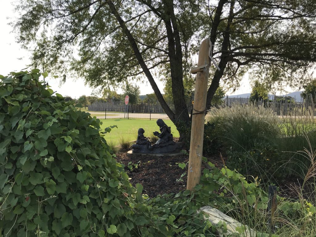
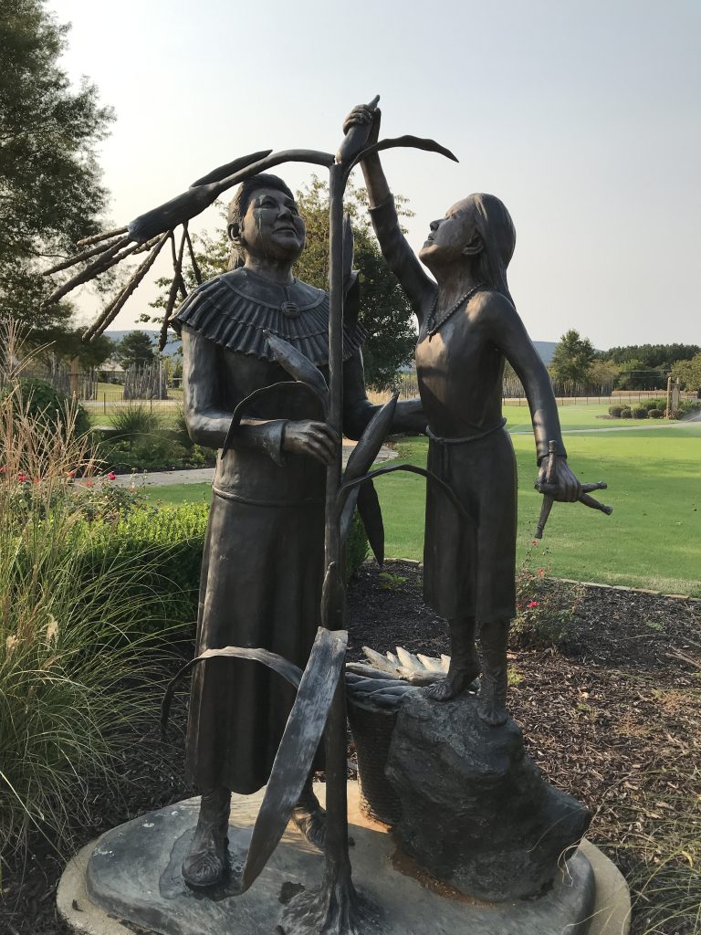
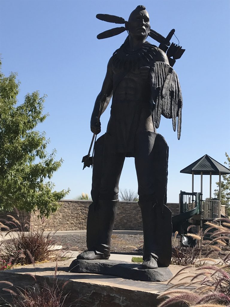
On Saturday we headed out for a drive. Our first stop was the Choctaw National Capitol Museum in Tuskahoma, Oklahoma. Unfortunately, the museum was not open, but the grounds are amazing. They have a path circling around in the gardens with informational plaques. The entire complex included sports fields, a rodeo arena, a track, the Tribal Counsel building, and a lot of other places set up for festivals and events. It was beautifully maintained and very informative.
“Chahta Tvshkahomma”
“The Choctaw Red Warrior represents who the Choctaw people are:
Choctaw people are proud: we have the wisdom to teach, the courage to fight,
the strength to survive and the determination to persevere.
Chahta Sia – I am Choctaw.”
(From Warrior Plaque)

Capitol Building Built in 1884
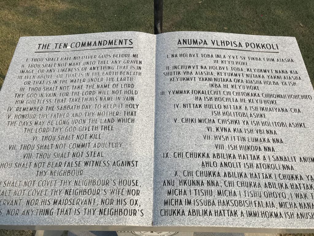
Beautiful Grounds Ten Commandments Translated into Choctaw
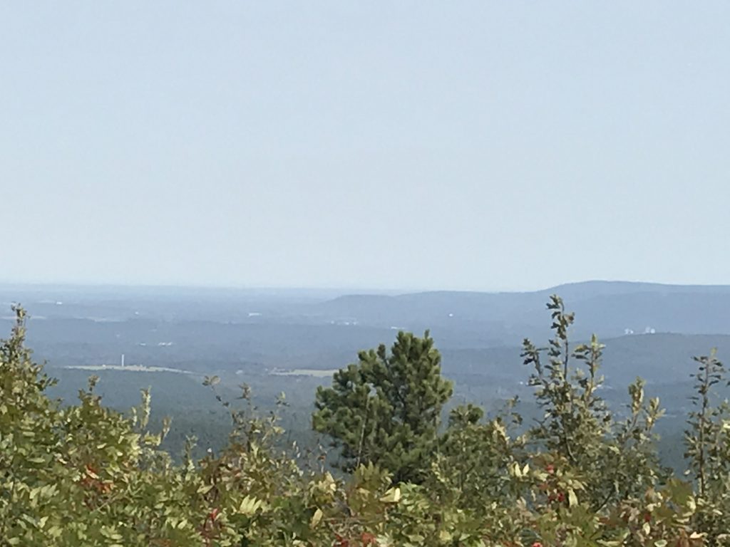
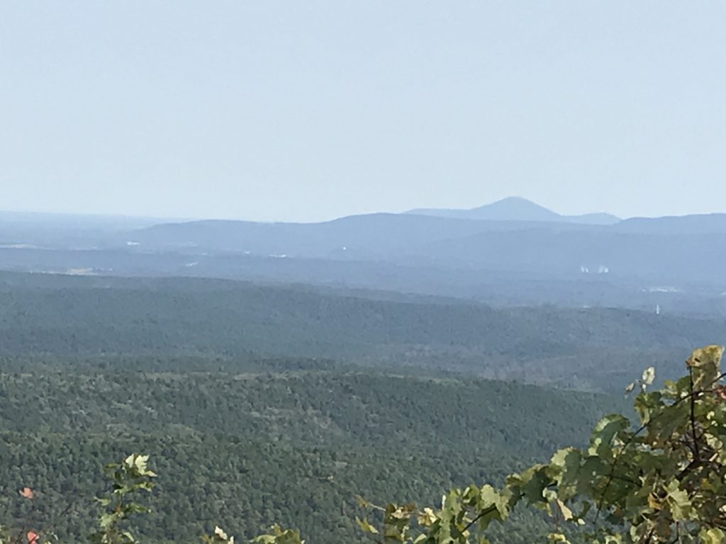
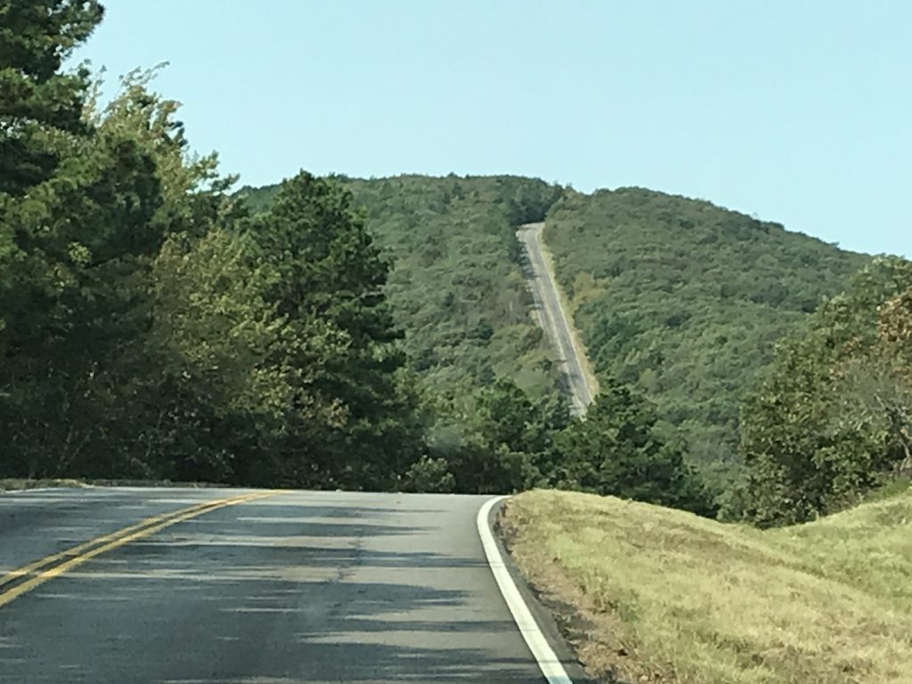
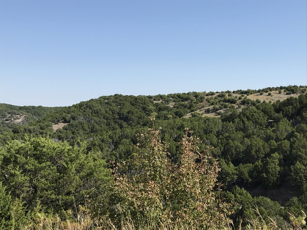
Next we set out to drive some of the scenic routes in the area. We went through Clayton south to Nashoba, then turned east on OK-144, which runs between the Blue Ouachita and the Kiamichi Mountains. At US-259 we turned north, entering the Ouachita National Forest, then headed west on the Talimena Scenic Drive. The winding, mountain road is a favorite for bikers for both the curves and the beautiful vistas. When we left Clayton the temp was about 75 degrees, but up on the overlooks at 61 degrees with LOTS of wind, it was actually COLD! It was a beautiful day, and we really enjoyed the scenery.
Bikers LOVE This Road
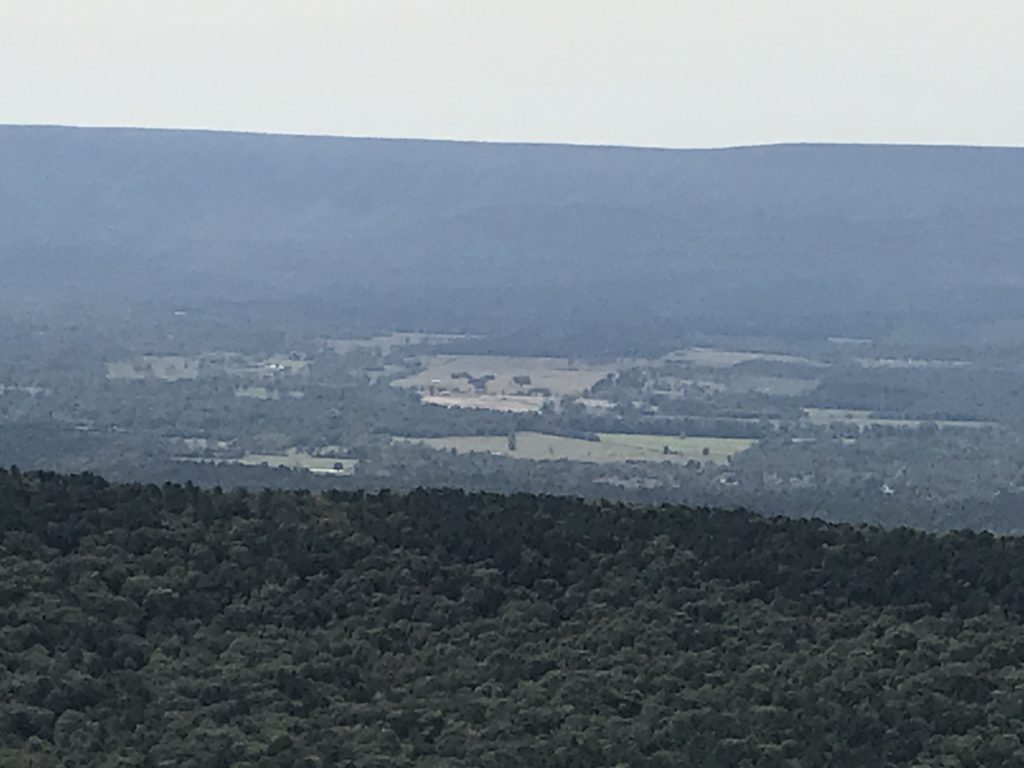
Look at Those Ridges!
At Talihina, we stopped for lunch at Pam’s Hateful Hussy Diner. Honestly, who wouldn’t?! It was a true diner on the inside, but the outside looked a little like a biker bar with all of the Harley’s parked along the sidewalk. We ended up talking to a nice couple from Oklahoma City who came over to ride the Talimena on his new Harley. (Hi Stan and Pam!) Stan also happened to be a pond expert, so there was a lot of discussion about our current flooding situation back in Tennessee. We thoroughly enjoyed meeting them and learned a lot, too. It didn’t hurt that Stan was also former Ranger and Green Beret. You know MW was all over that! Oh, I almost forgot…the food was good, too. We both had the Hateful Hussy, which is a grilled chicken sandwich. After lunch, we headed back to Petunia. The wind was whipping the lake into a froth, so we settled in to watch an old movie. About 11 PM, I had to make a quick run outside to get books out of the unexpected rain. I smelled cigarette smoke from the guy up the hill, so don’t know if he was down at the lake and saw me running around with my butt hanging out or not. My skin is blindingly pale, so I hope, for the sake of his sight, that he wasn’t. LOL
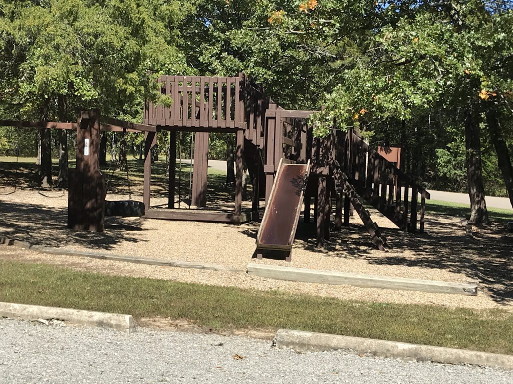
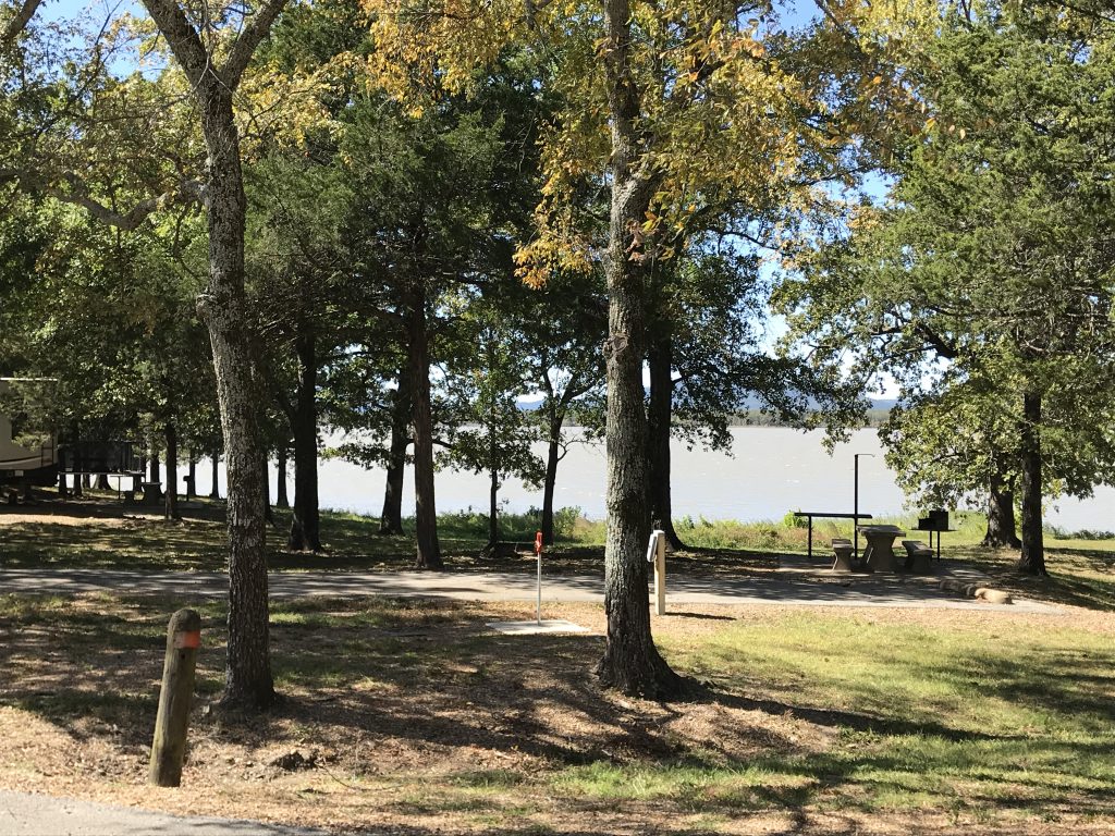
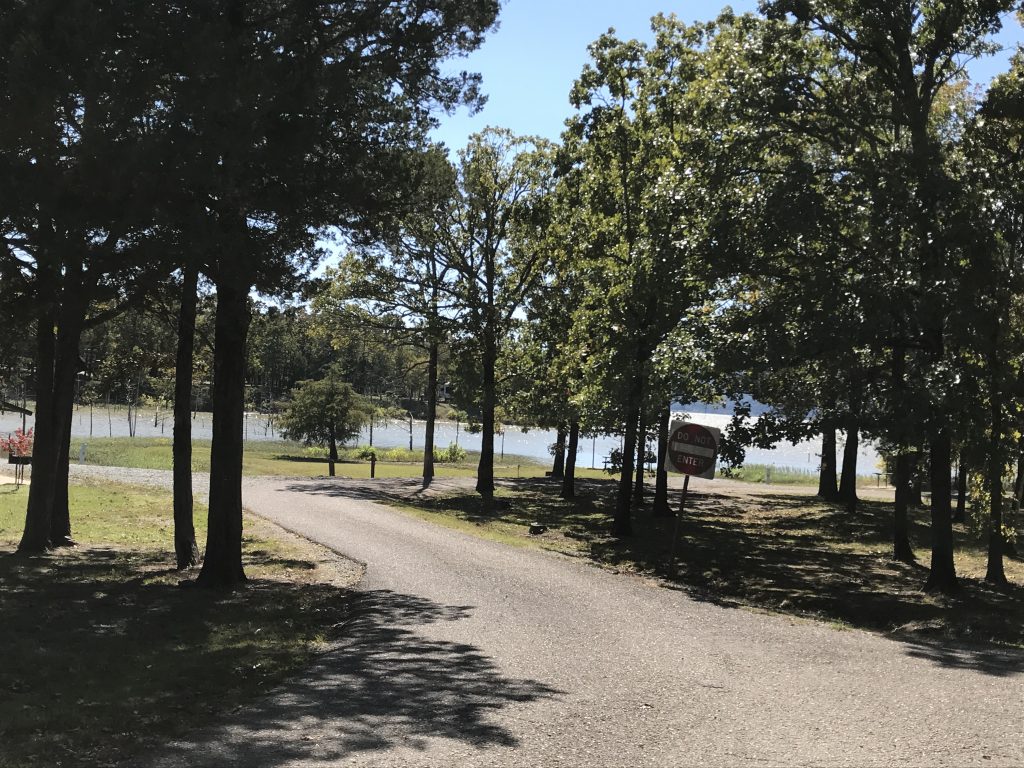
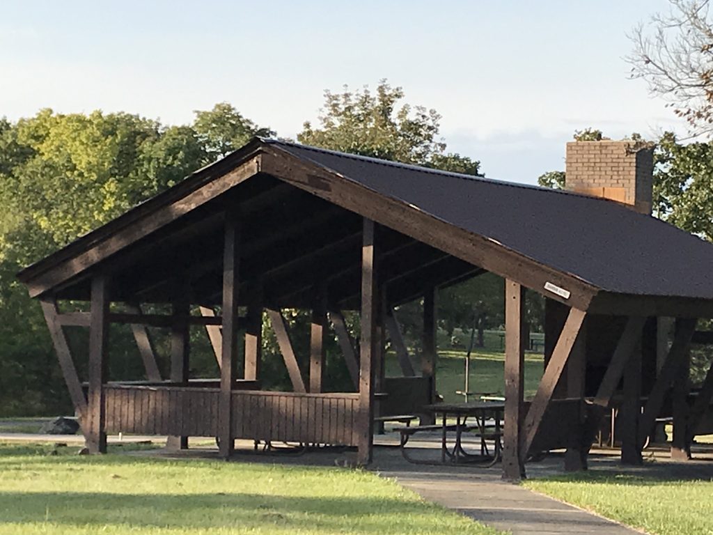
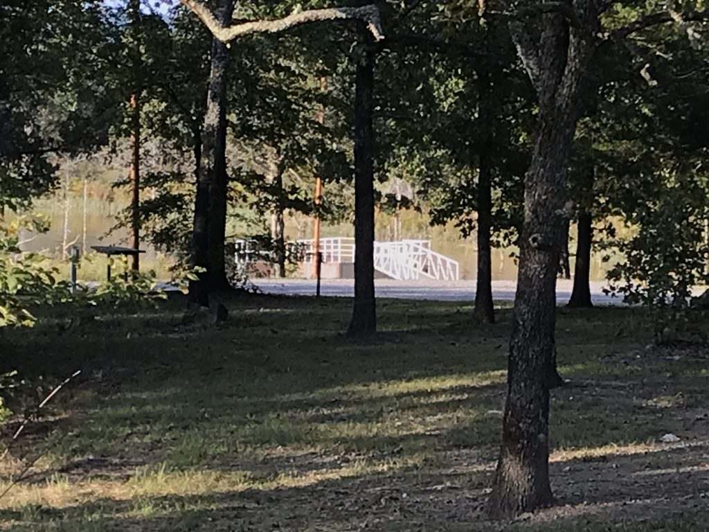
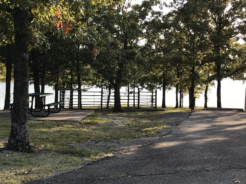
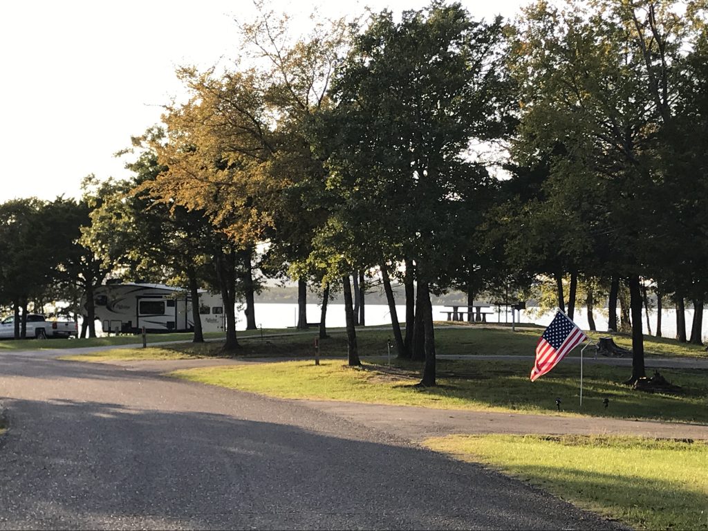
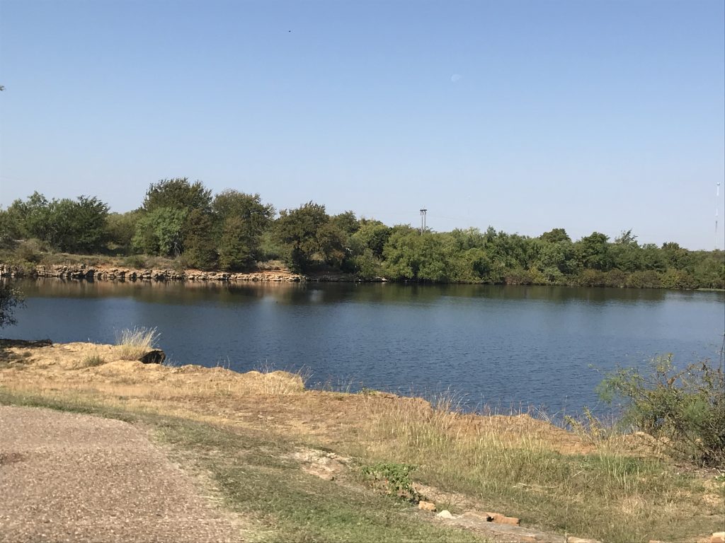
Potato Hills Central Campground is on Sardis Lake near Clayton, Oklahoma. Amenities include a playground, plenty of picnic areas, and a fishing dock, plus lots of places to fish from the shoreline. Boaters can put in at the nearby boat ramp and dock right at their site on the lake’s edge. The fishermen LOVED this perk. The facilities were clean, and the property was well-kept. The 84 sites have 30-amp electric and water, and many, including ours, backed right up to the lake. Although there were only a few other campers while we were there, I believe the layout would keep it from feeling terribly crowded when it was full. We really enjoyed the peace and beauty.

On Sunday the nonexistent data coverage deprived us of our Sneedville First Baptist Church service. Around lunchtime we headed back to Clayton and the Choctaw Country Market to grab a bite, do a little Christmas shopping, and let me get a little more work done. While I worked, MW took a ride over to check out the dam and got some fuel. Back at Petunia later it was really windy, which sent us indoors again where we watched more old movies.
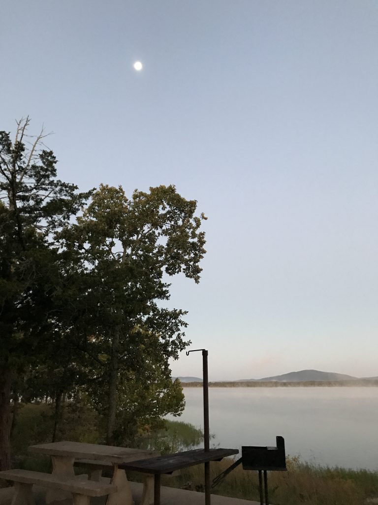
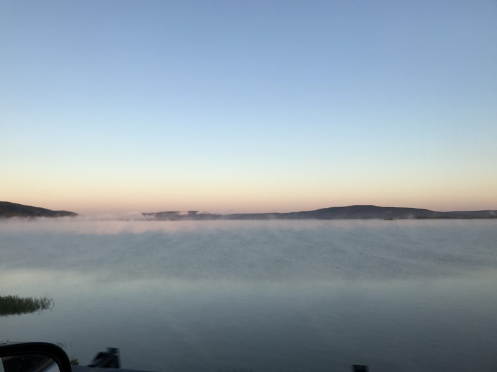
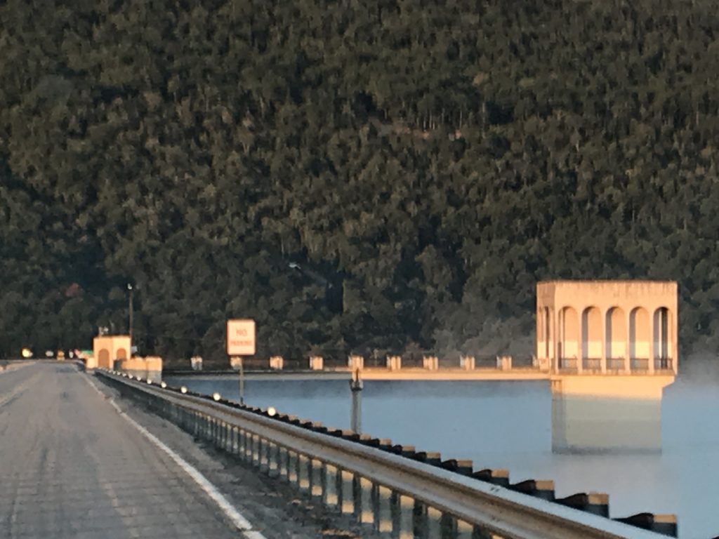
Monday started with a beautiful pre-sunrise and moon over the foggy lake as we prepared to leave. We crossed the dam, heading west on OK-43. I’ll confess that, since I woke up with a migraine, I slept for part of the morning. There wasn’t too much to see, though. Away from the mountains, the landscape once again became rolling pastures. MW did see a dead wolf on the road, which we’ve never seen before (no pic of that…yuck).
Pre-Sunrise
The Morning View
Fog on the Lake Over the Dam
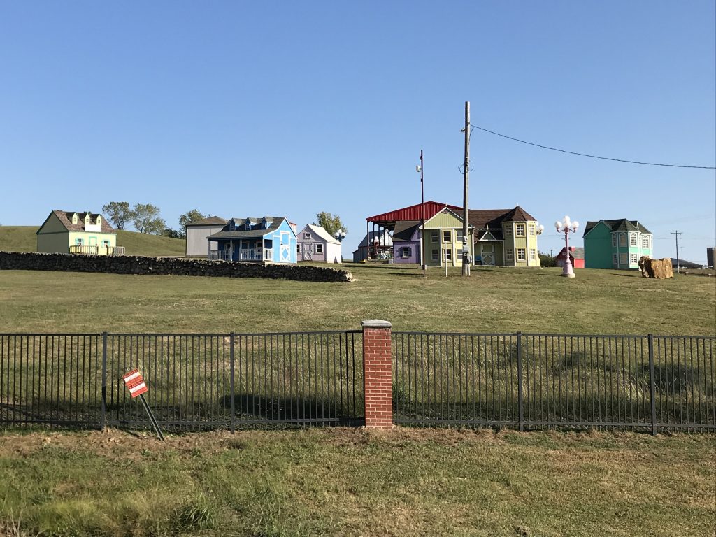
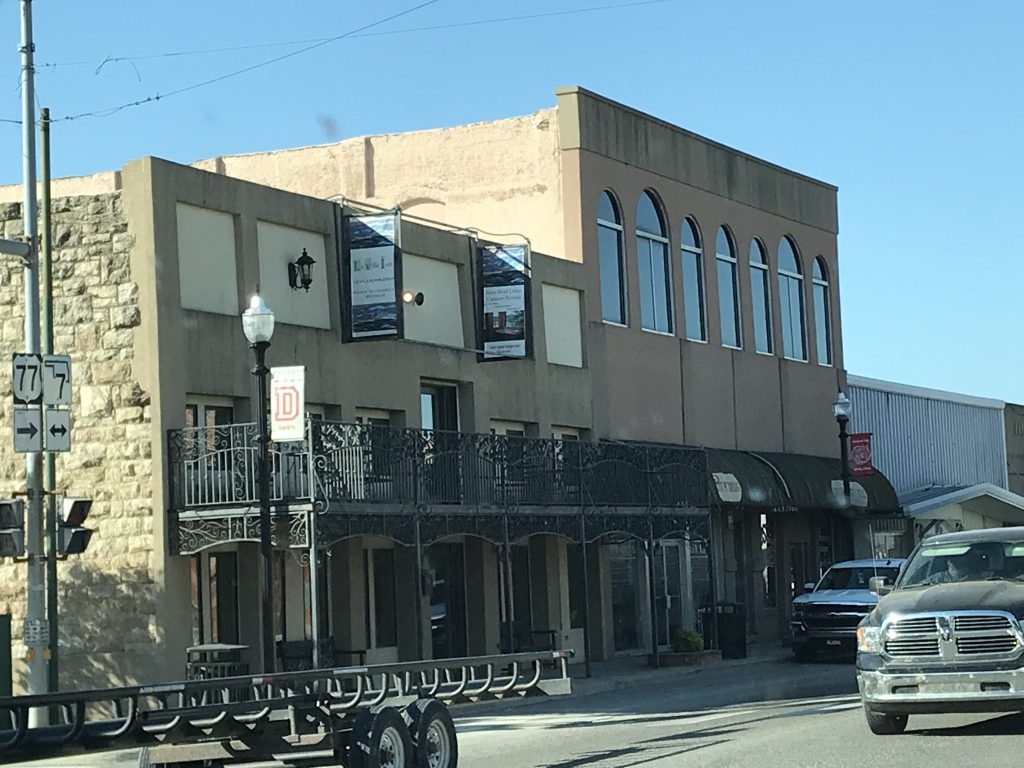
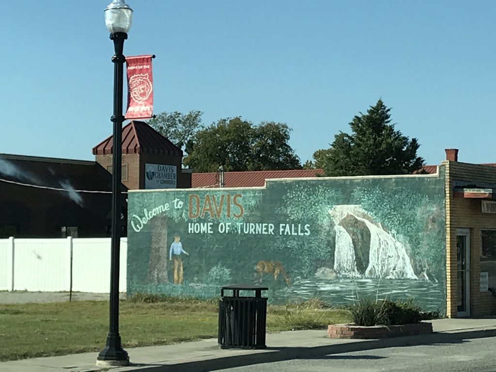
As we passed the Oklahoma School for the Deaf in Sulpher, we caught a glimpse of the cutest miniature village that appeared to be on their campus. Couldn’t find anything about it online, but did get a pic. A little later we made it to Davis, Oklahoma, which is on the lists of 50 best small towns and 50 most charming small towns. Honestly, it wasn’t a bad little town, but after visiting Pella, Iowa, which also made those lists, we couldn’t really find why Davis was singled out in the entire state of Oklahoma. There must have been something that we missed. We did find a couple of things to check out, though. First was lunch at 77 Grill, a tiny little diner that serves pretty good breakfast all day (western omelet for MW and French toast, bacon, and eggs for me). Next was the Bedre Fine Chocolate factory, which we went to for totally unselfish reasons…Christmas shopping. After looking around it was clear that we were both going to be FORCED to leave with at least one chocolaty bit of deliciousness. I’m telling you, the sales ladies were relentless. We didn’t even WANT any chocolate! Really!! It was a pretty neat place, and after trying a bite or two, I can whole-heartedly endorse the goods. Next door to the chocolate factory was the Chickasaw Visitor Center, which was unfortunately not open. I loved the statue out front! Our last stop in Davis was Arbuckle Mountain Fried Pies. We’ve recently seen a couple of episodes of “A Chef’s Life”, where Chef Vivian Howard has been exploring hand pies of all kinds. When we saw the sign for this place, that is the first thing we thought of. They were very busy and had a huge variety of fried pies. They had at least 30 different kinds, and we left with several samples. My favorite was blackberry, and MW’s was peach.
Miniature Village at Sulpher, Oklahoma Davis, Oklahoma
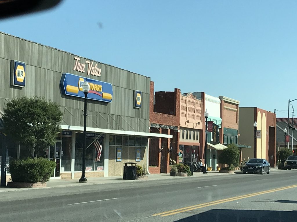
Davis, Oklahoma Davis, Oklahoma
The Candy Line Anyone Else Thinking of Lucille Ball?

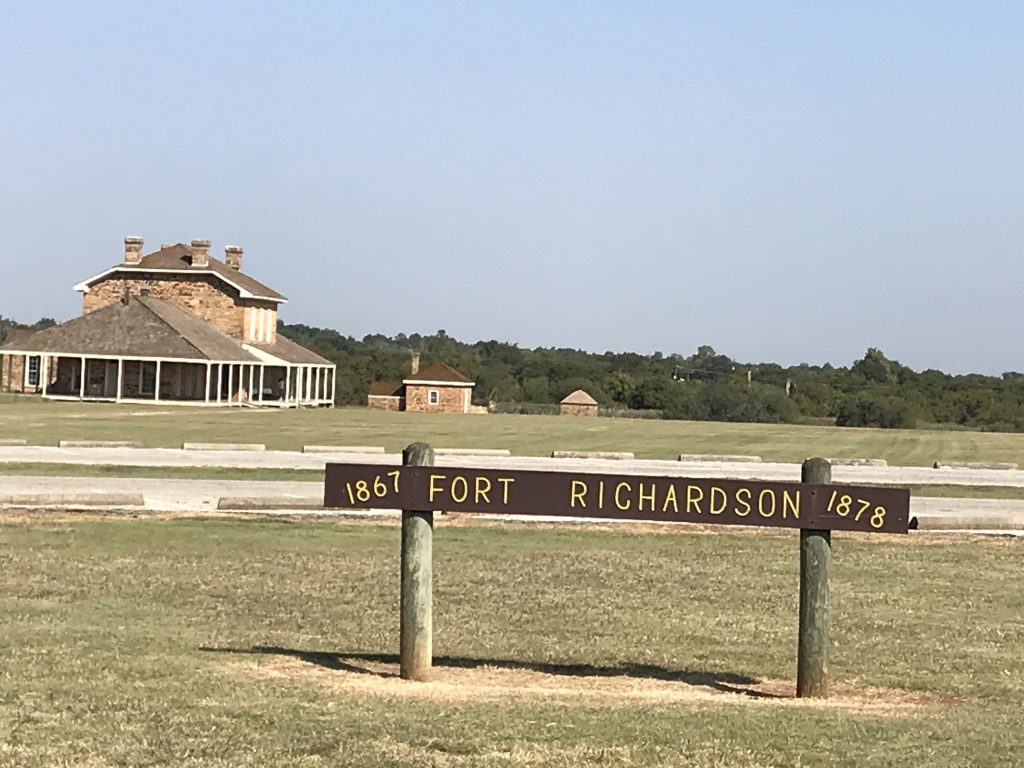
Heading out of Davis south on US-77, we were once again in the mountains. We took a little detour to drive through Gene Autry, Oklahoma. Renamed multiple times since it’s inception in 1883, they decided to change it one more time in 1941 to pay homage to the Singing Cowboy himself, who happened to own the 1,200-acre Flying A Ranch nearby. (Please don’t tell me if you haven’t heard of Gene Autry. That would be just too sad.) Thanks to enlisting in WWII, Autry never made the ranch his permanent home and sold it after the war. The town, however, kept the name. I thought there would be a sign or some Autry information, but there was really nothing. Hmmm. Maybe it’s time for another name change. We continued south to Marietta, then turned west on OK-32. At Rubottom, Oklahoma, we turned south and crossed the Red River into another of my favorite states…TEXAS!! Throughout Oklahoma we had been seeing oil pumps and occasional drilling rigs, but when you cross into Texas, the number seems to jump up. Or possibly I just expect to see them everywhere in Texas. By mid-afternoon we made it to our home for the next couple of nights, Fort Richardson State Park and Historical Site near Jacksboro, Texas.
Mountains Again
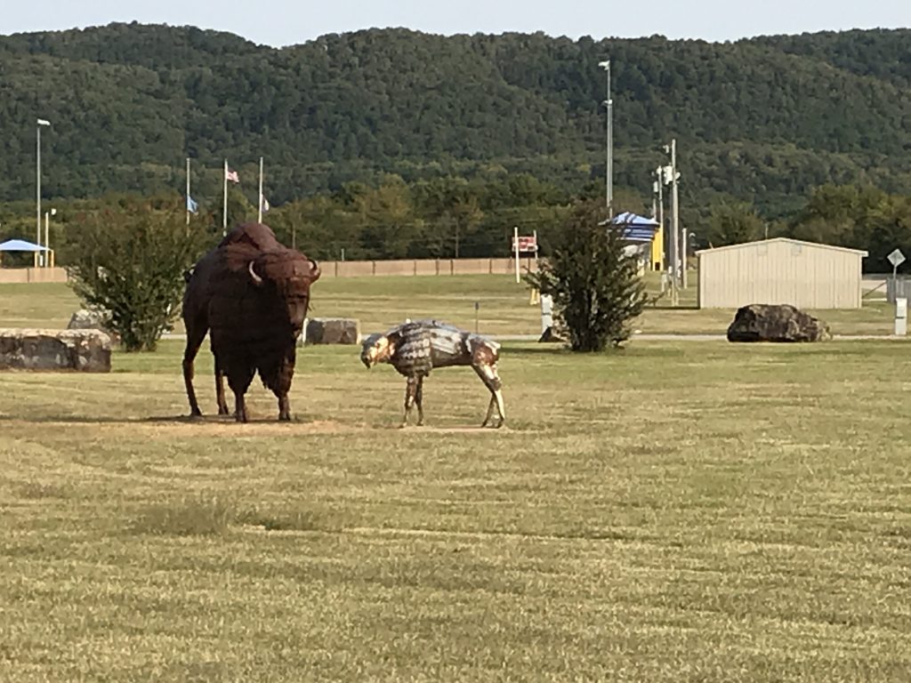
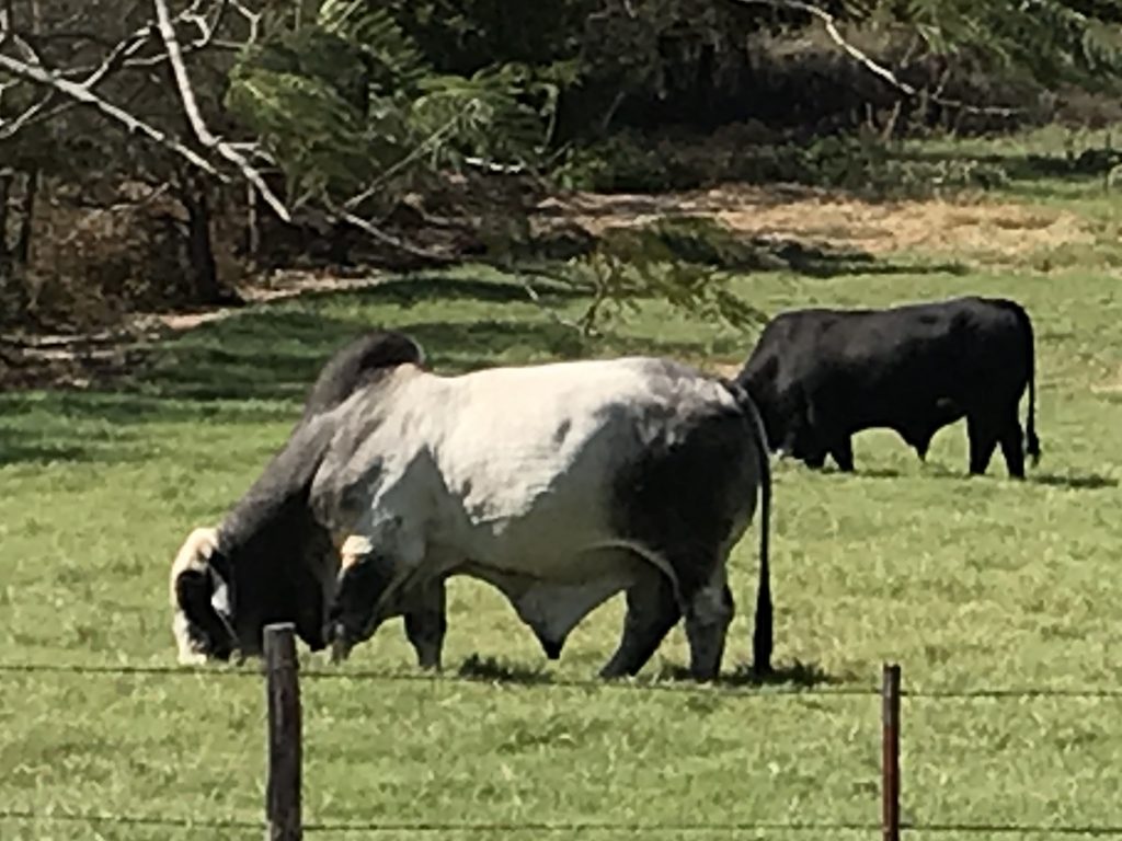
Let…Me…GO!!! Now That’s A BULL!
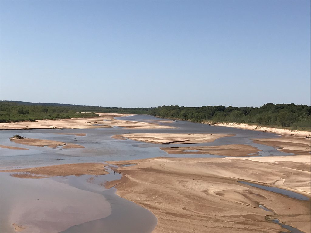
Just Remember That Red River Valley,
And The Cowboy That’s Loved You So True.Flattening Back Out
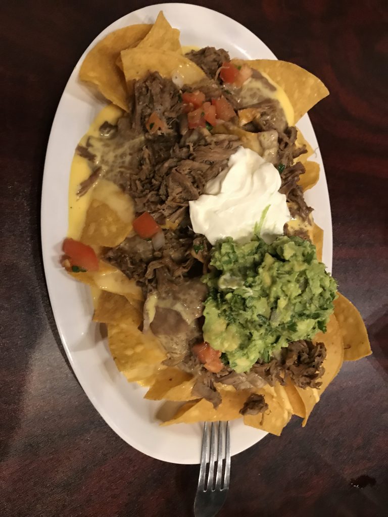
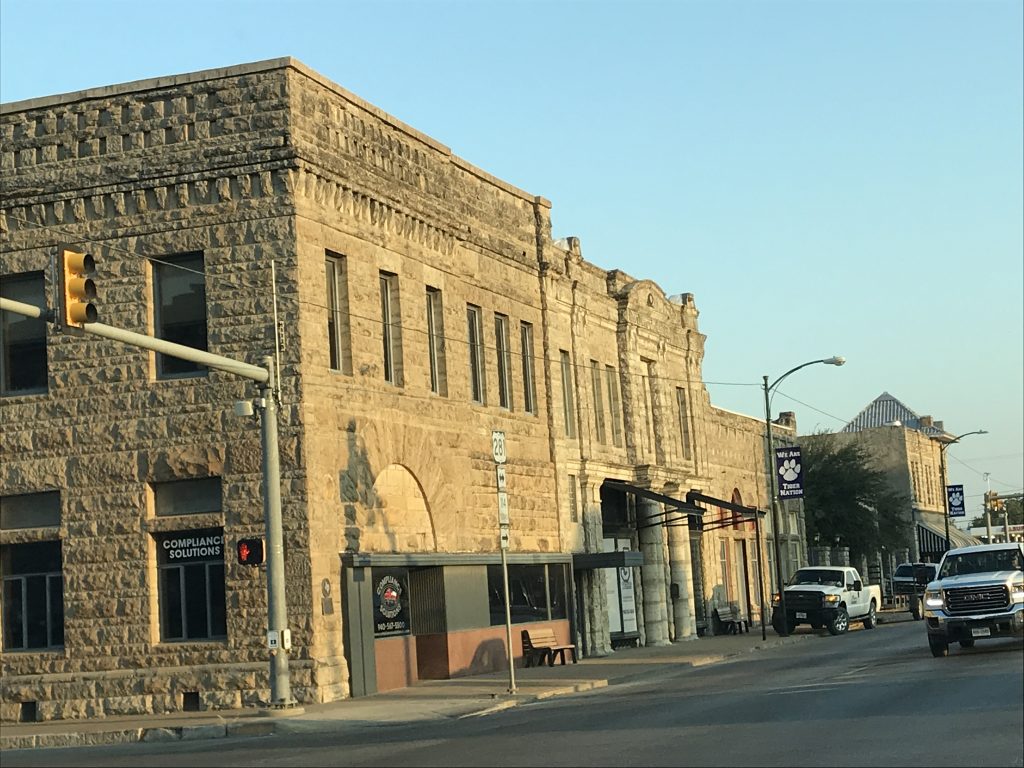
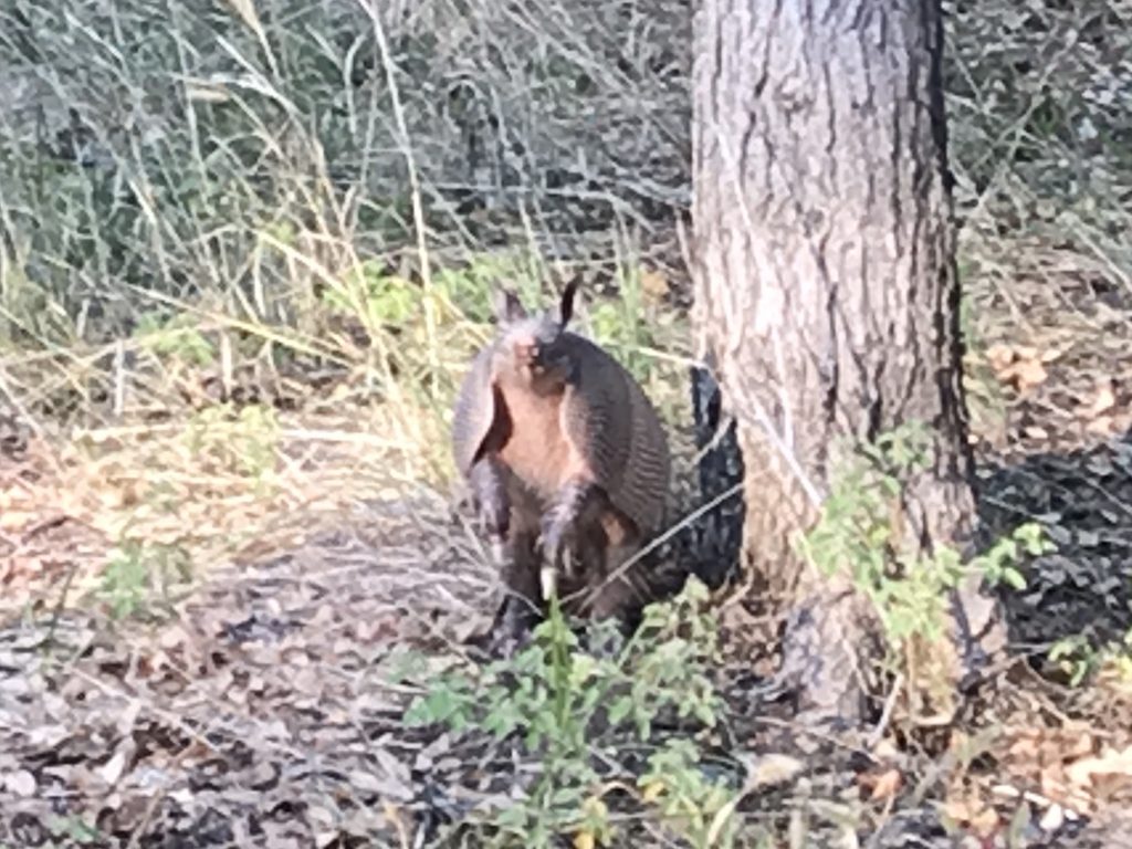
Tuesday we headed into town to drop off mail and hit the grocery store. The weather had turned HOT…seriously…keeping us from enjoying outside. Plus, my migraine was still in and out. I managed to get some work done, then later we returned to town for dinner. As we pulled out of our site, there was a LIVE armadillo snuffling around. I’ve never seen a LIVE armadillo that wasn’t in a zoo. Honestly, MW and I always joke that taxidermist’s should put them in their natural position…on their backs with their little feet stuck up in the air. That is how you see them the most. We’ve been holding out until we reached Texas for Mexican food. I’m telling you, it is just better. MW found Neri’s on the Square, which was a little Mexican bistro in the former fire station in Jacksboro. MW had a Taco Bowl, and I had the appetizer Dirty Brisket Nachos. Okay, just WOW, WOW, WOW!! His was very good, but mine was WINNER, WINNER, CHICKEN (OR BRISKET) DINNER!! Their chips are fresh, thin, and super crispy. Evenly spread throughout were their own queso, refried beans, and fresh guac, but the piece de resistance was the melt-in-your-mouth brisket. Truly delicious! We headed back to Petunia full as ticks on a hound dog. Since the evening was a little cooler, I headed out to the picnic table to catch up on a little writing. A few minutes after I sat down, our little armadillo friend came shuffling by. I made a little video for you. He wandered off into a drain tile. A little later the kids in the next campsite found him, so I’m sure he fled the area.
Taco Bowl I Know…Makes You a Little Hungry, Doesn’t It?
Jacksboro Downtown – They Had a Pretty Nice Square Say Hello to My Little Friend
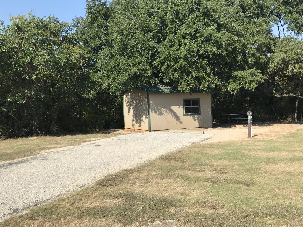
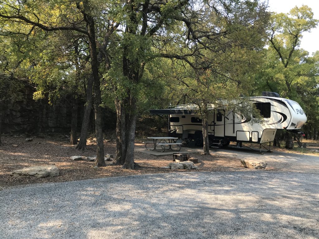
Fort Richardson State Park and Historic Site is a large park right at the edge of Jacksboro, Texas, and surrounds the Fort Richardson Historic Area. The buildings were closed for Covid while we were there, but normally several are accessible including a Nature Center. The park offers miles of hiking, biking, and equestrian trails, fishing at the quarry lake, a playground, and plenty of picnic areas. They had a limited number of cabins, and several were set up so that you could back an RV up to the cabin (with hookups) and put a tent out back, too. That would be great for groups. The campground is divided into three sections along Lost Creek, and the sites are pretty well-spaced. Ours was on the circle at the very end of the road, which was pretty quiet for being in town. (We were alone back there for the first night, so it felt like we had the park to ourselves.) There are four 50-amp, full hookup sites, nineteen 50-amp electric and water, and eighteen 30-amp electric and water sites that ranged in price (October 2020) from $20-$25 per night plus $4 per person per day park fee. We would definitely stay there again.
Quarry Lake Sites
Old Hospital in Back Left Current Interpretive Center
Lost Creek Bathhouse
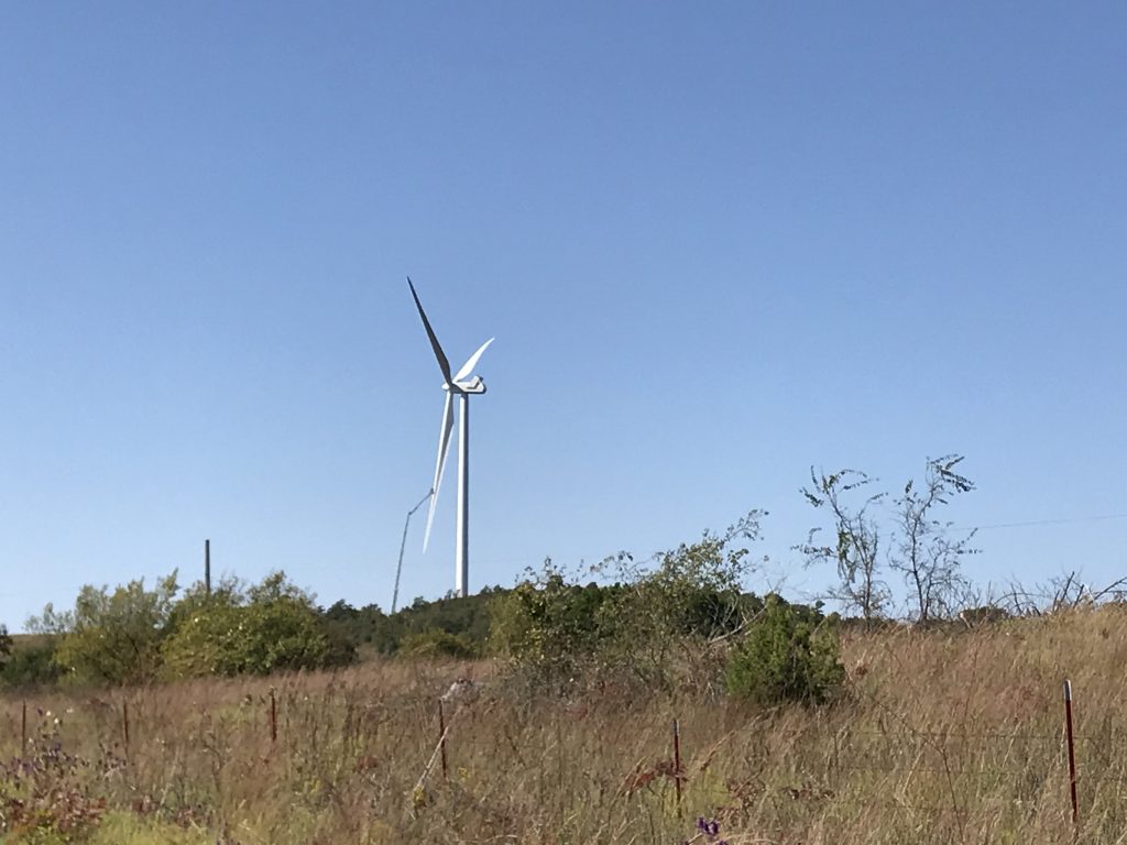
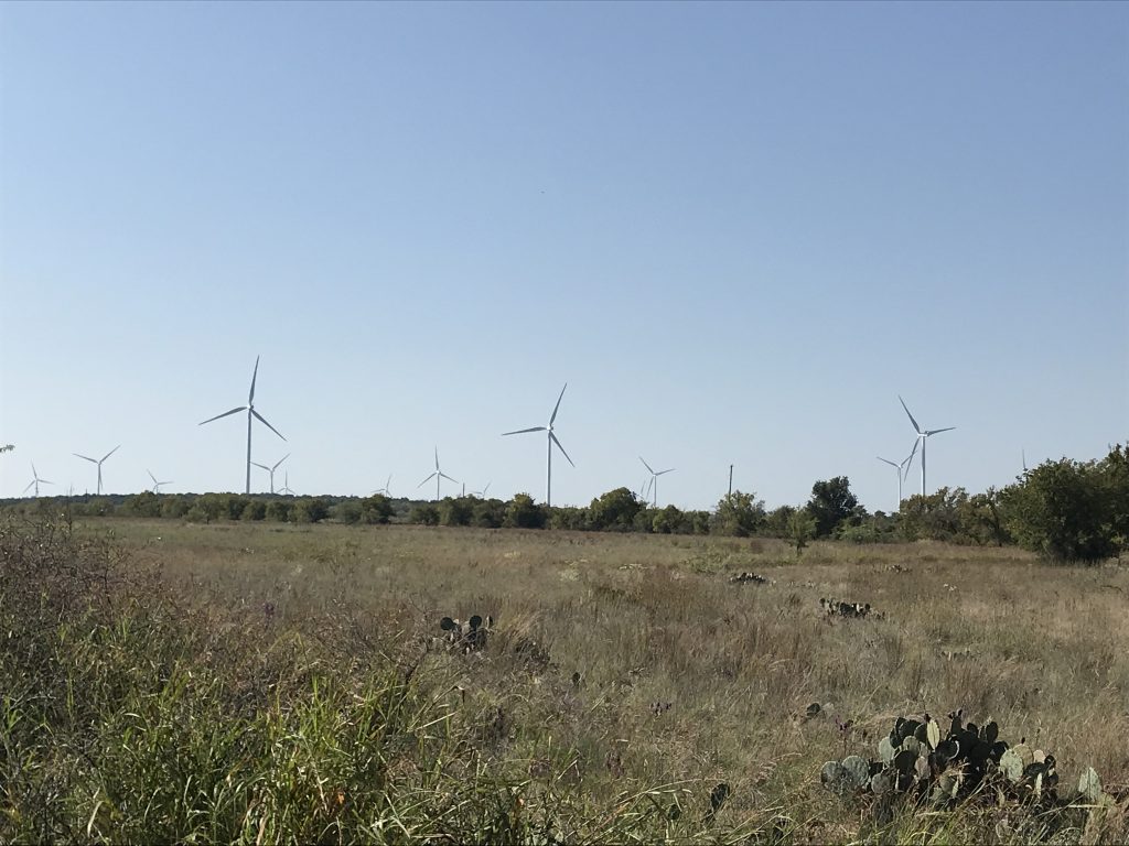
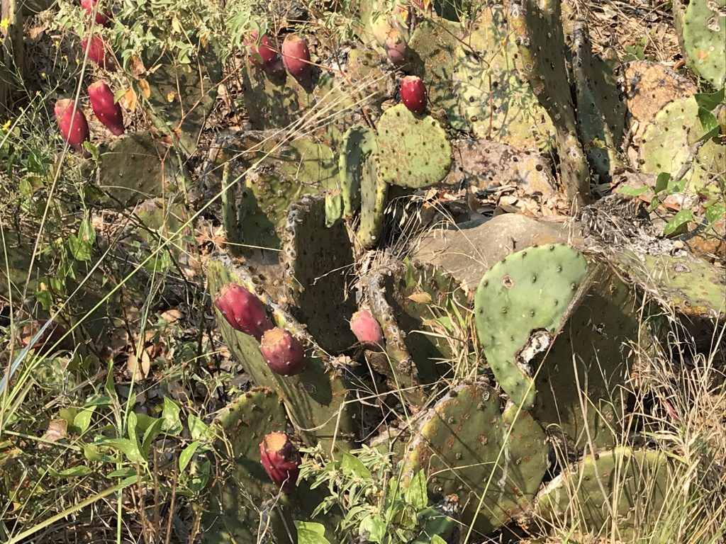
Lots of Windmills and Cacti Prickly Pear Margaritas Anyone?
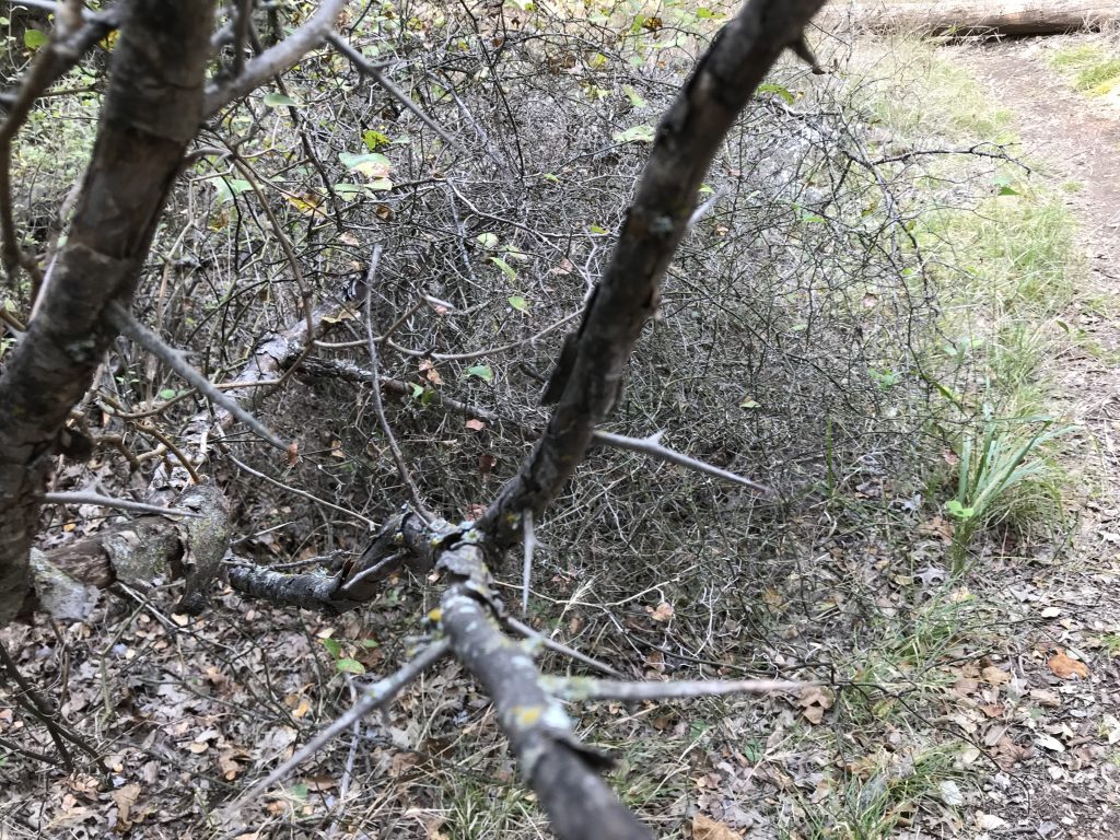
Cabin/RV Combo Site Ooooo…That Will HURT You! Mesquite, I Believe.
Our Site – 22
Next up…Two Sans and a Nephew. See you on the path!
Talisa
P.S. If you enjoyed this, please like and follow us below, and SHARE, SHARE, SHARE on social media!