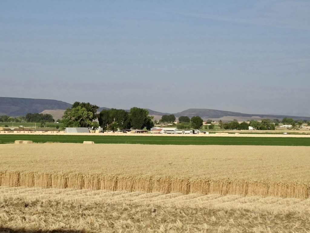
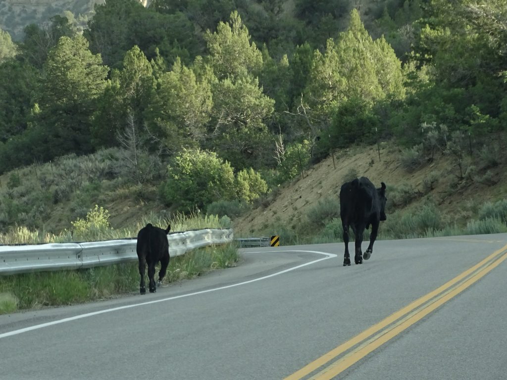
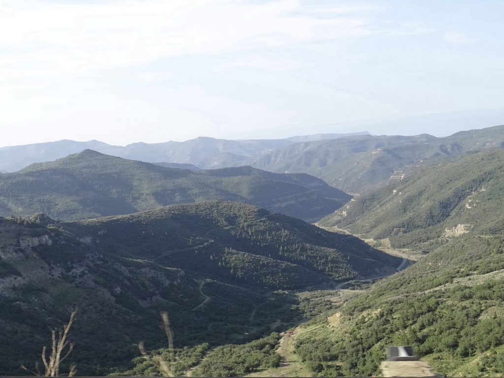
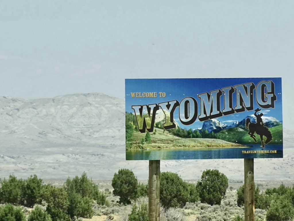
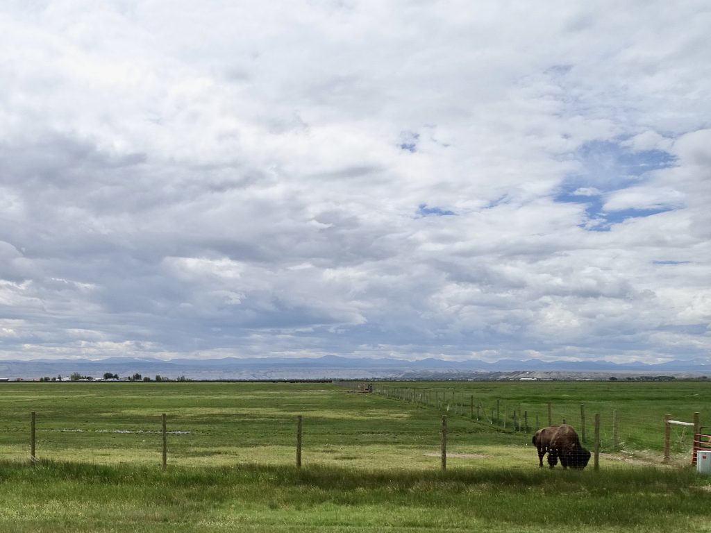
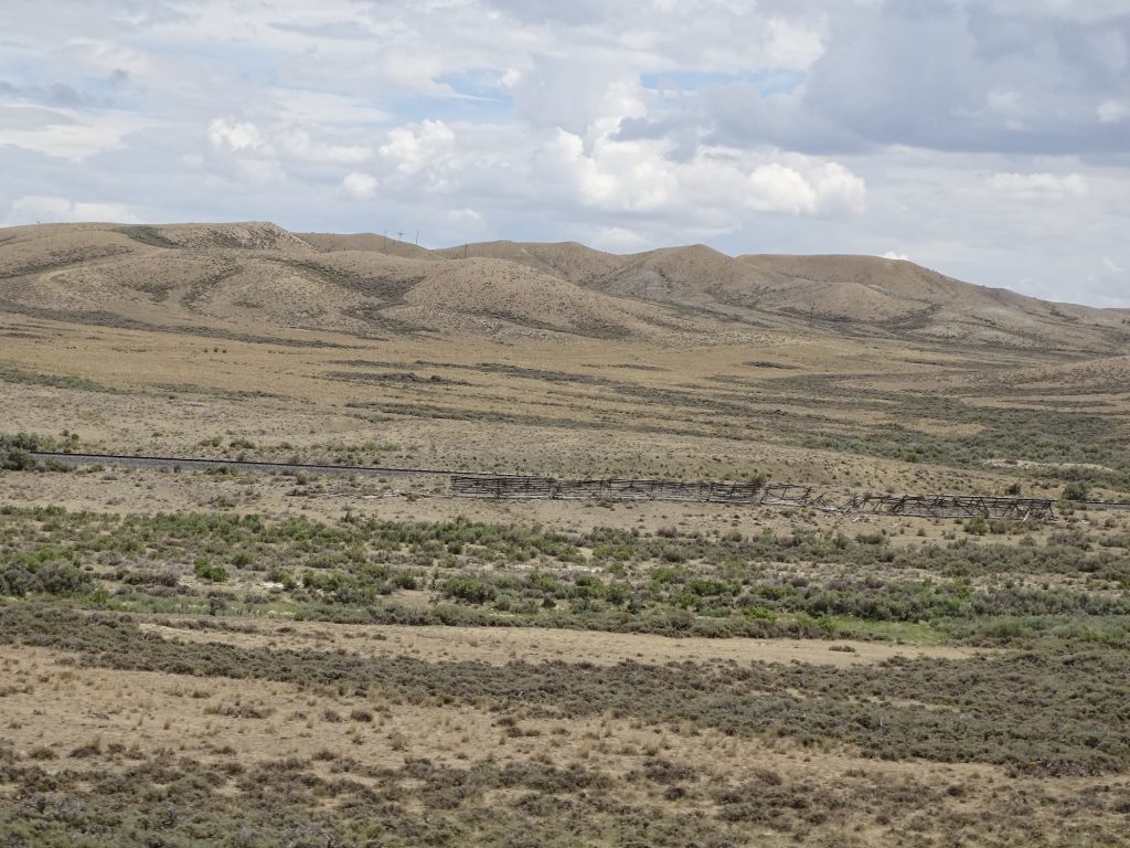
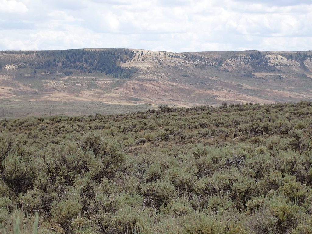
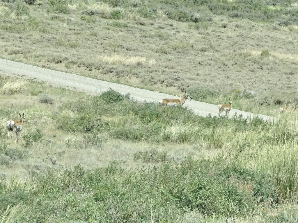
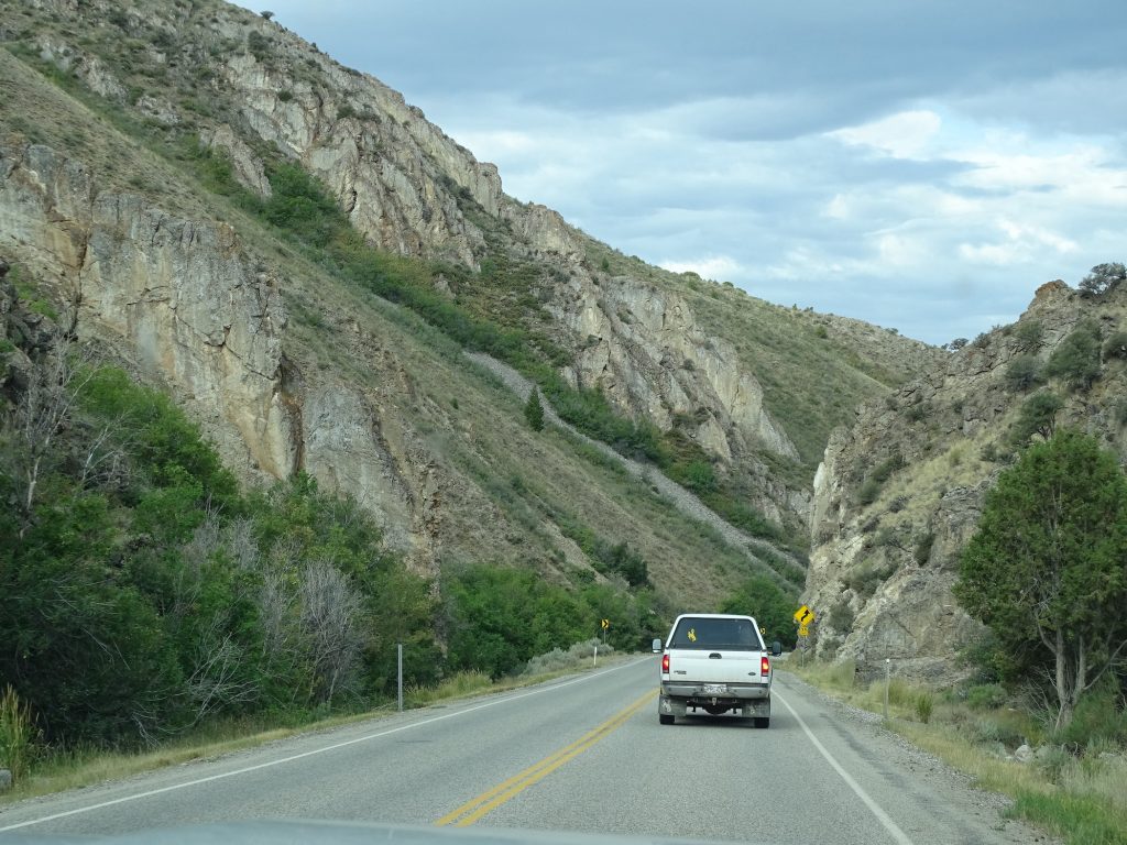
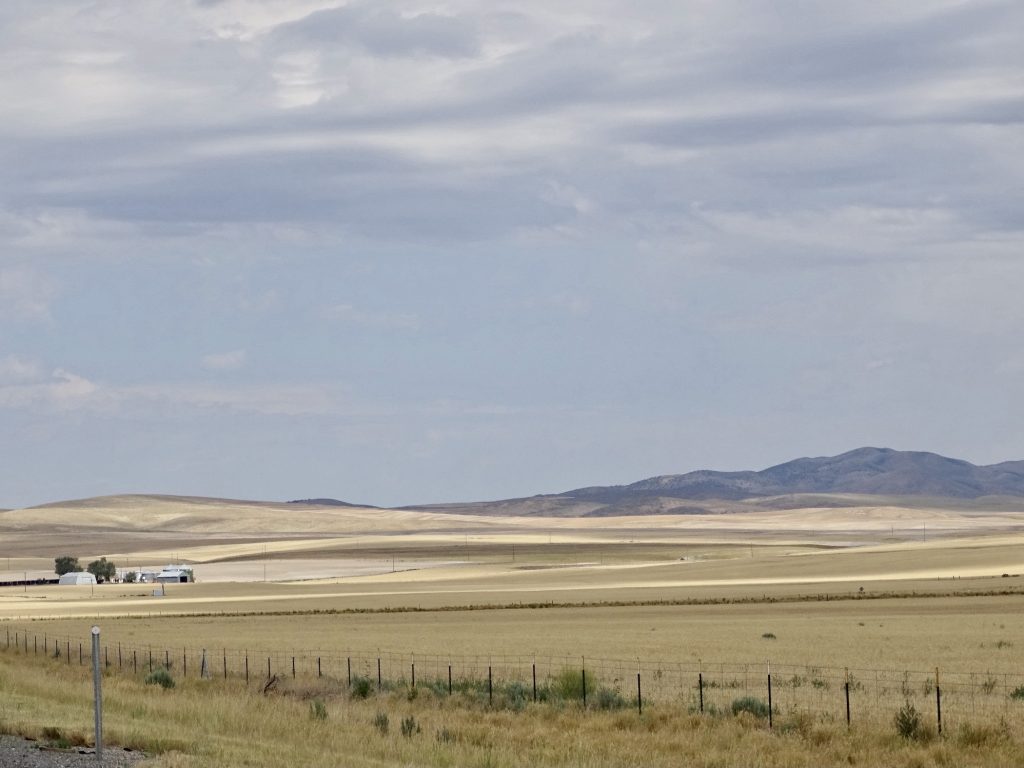
On Monday, July 19, we headed out early for a long and beautiful drive, first west to Loma, then north on CO-139. This is marked as a scenic drive on the atlas, but it really might need two dotted lines. Can it be super scenic? Flat, open valleys full of lush, green crops gave way to hills seemingly of sand, then vast pine forests open to desert valleys and flaming cliffs. It was truly amazing. It wasn’t too far north that we encountered the first cattle gate and open range signs. Shortly after that, we ran across the first cows in the road. A mama and baby were trotting away from us in the other lane, the baby clearly scared to death. As we rounded the bend, there was a truck coming fast. MW (Mr. Wonderful) flashed the lights, and I was waving my hands and making the stop signal. Thankfully, he did slow down enough to swerve and miss them.

Near Loma, Colorado Two Minutes Later
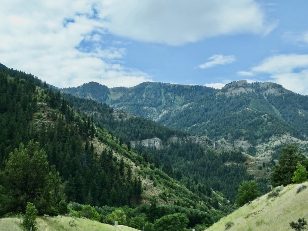
Free Range Beautiful Hills
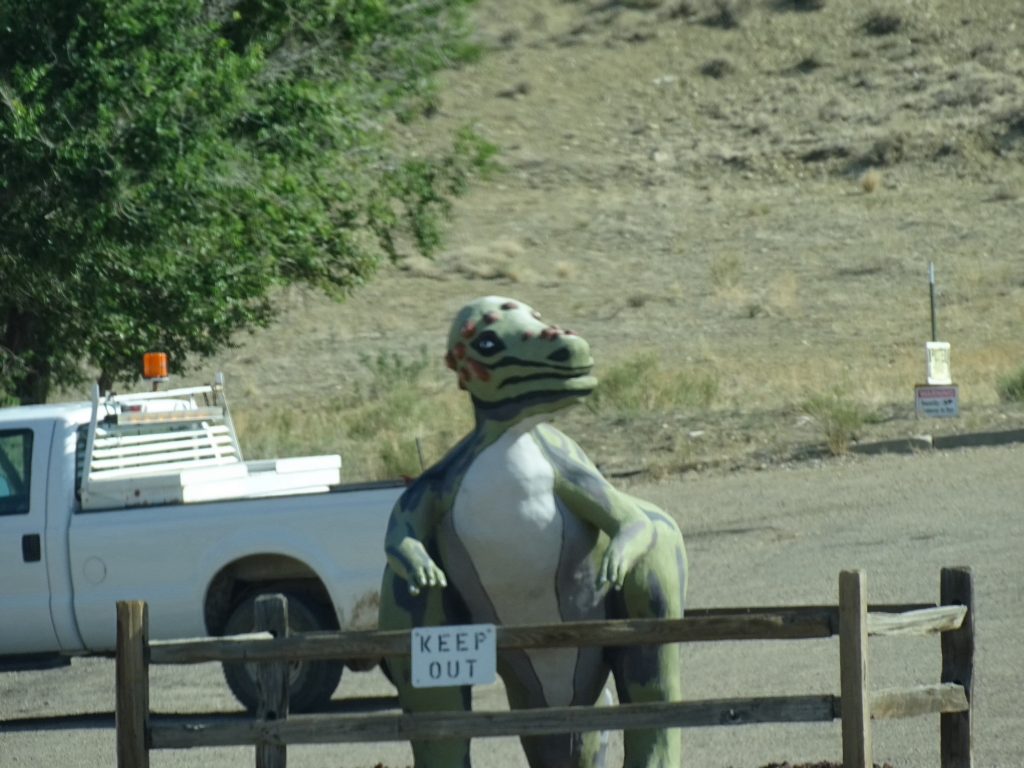
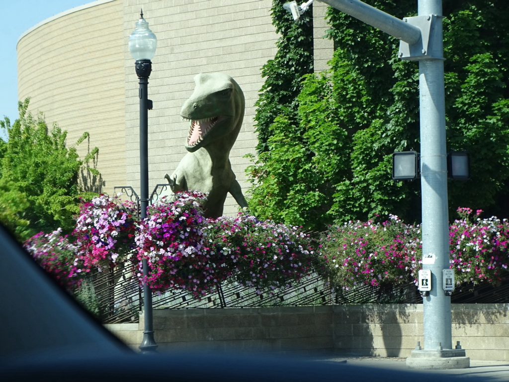
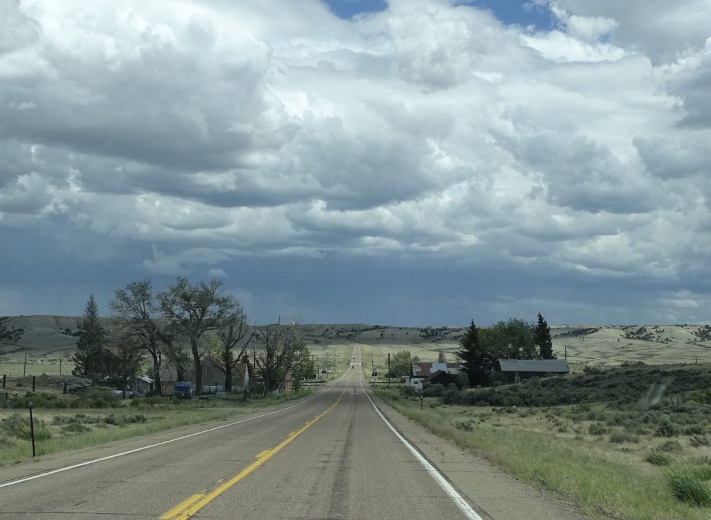
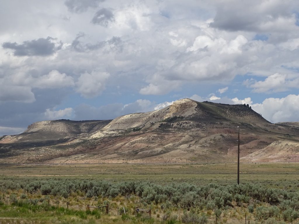
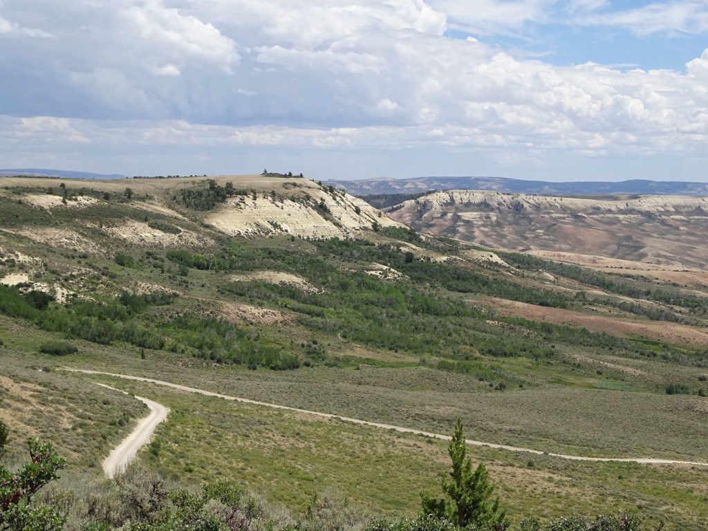
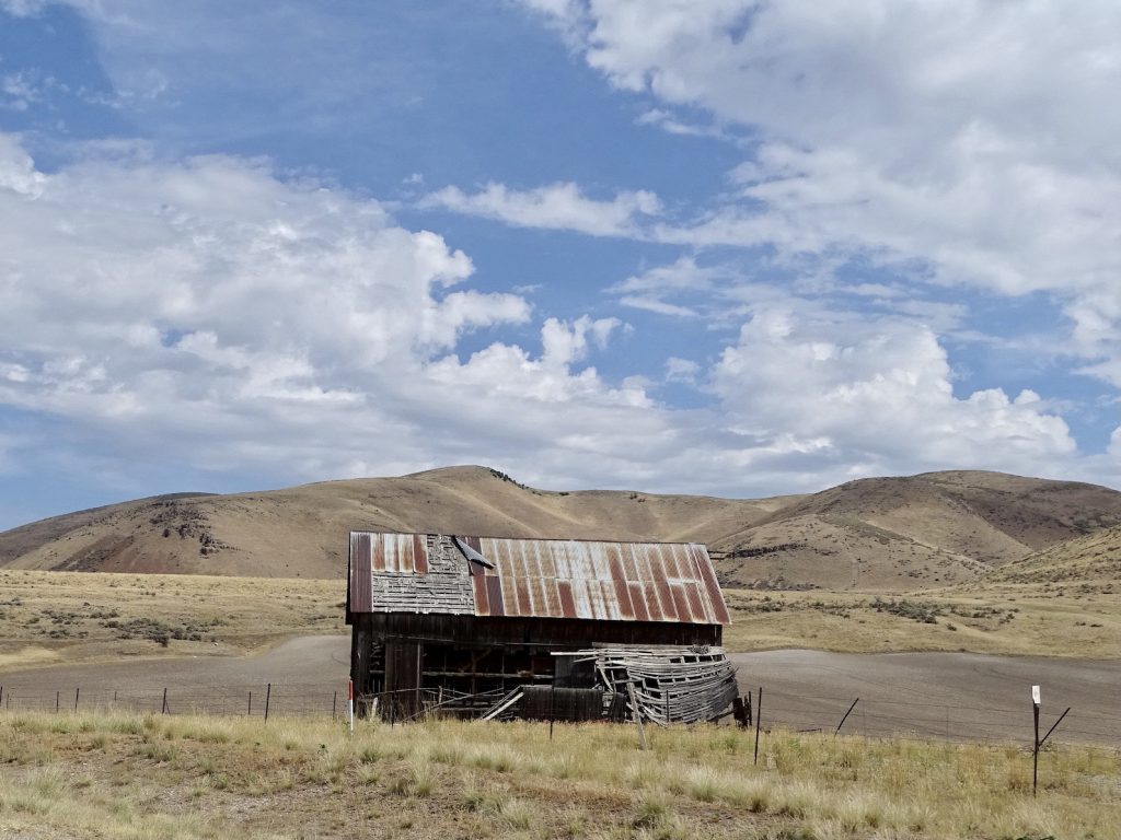
We passed through the town of Dinosaur, Colorado, which understandably has a theme. Interesting note: Dinosaur was originally named Baxter Springs. In the 1940s, when the oil boom was the big thing, it was renamed Artesia for its in-demand water supply. In 1966, it was again renamed in an effort to capitalize on the nearby Dinosaur National Monument traffic. There is a Colorado Welcome Center in town, and a monument Canyon Visitor Center a few miles east on US-40. Their website says “Please note that dinosaur fossils are not found in this portion of the monument.” Yes, it is in bold, so people must show up expecting to see them a LOT. The other visitor’s center in Utah is where you will find the goods.
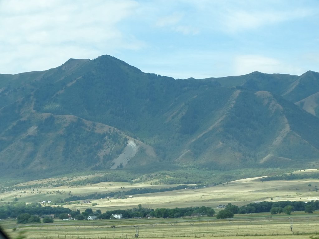
Just Hangin’ in Dinosaur Purple Mountain Majesties
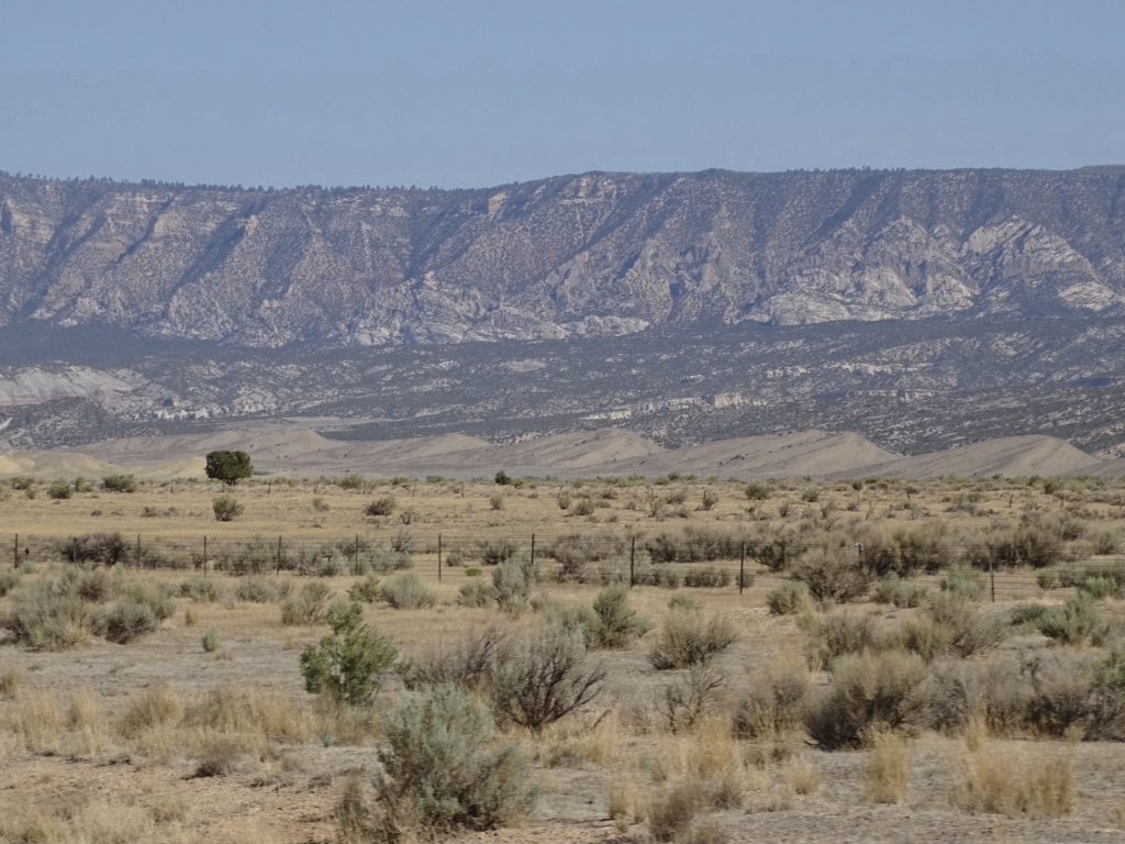
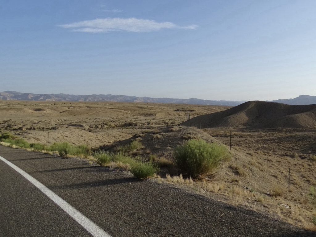
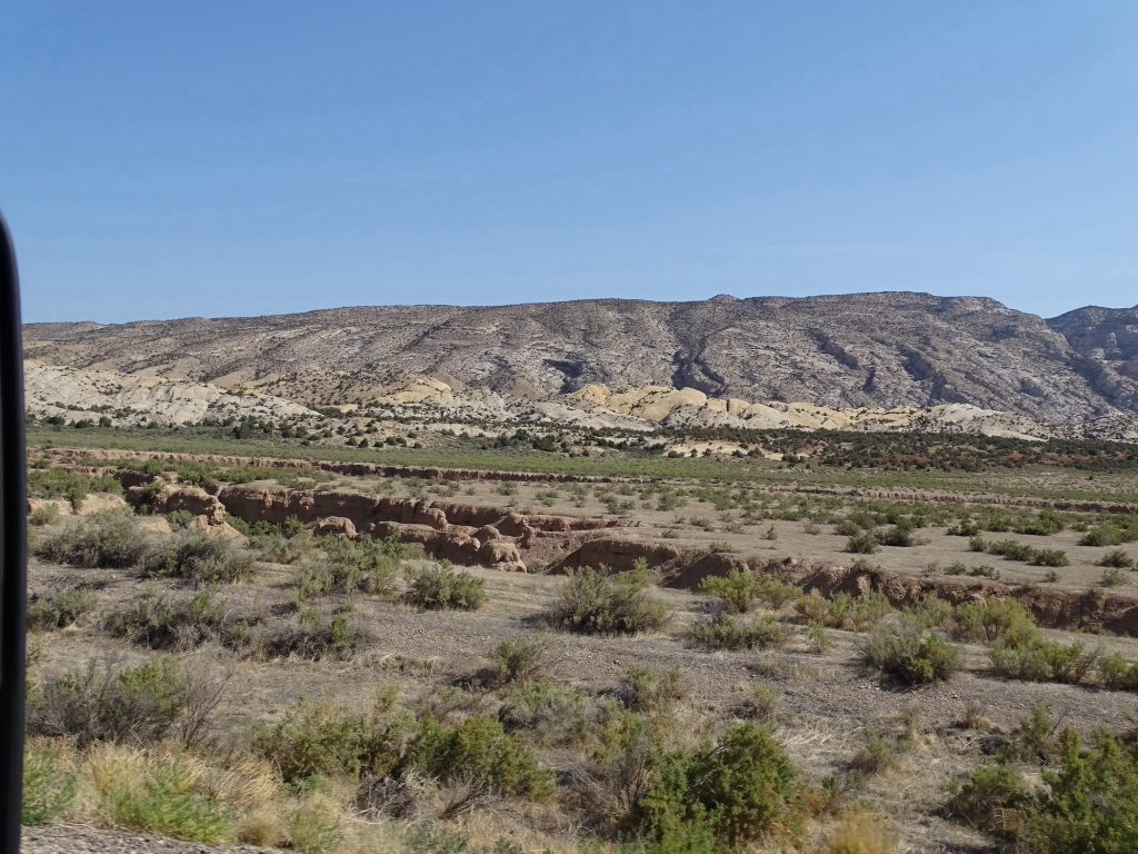
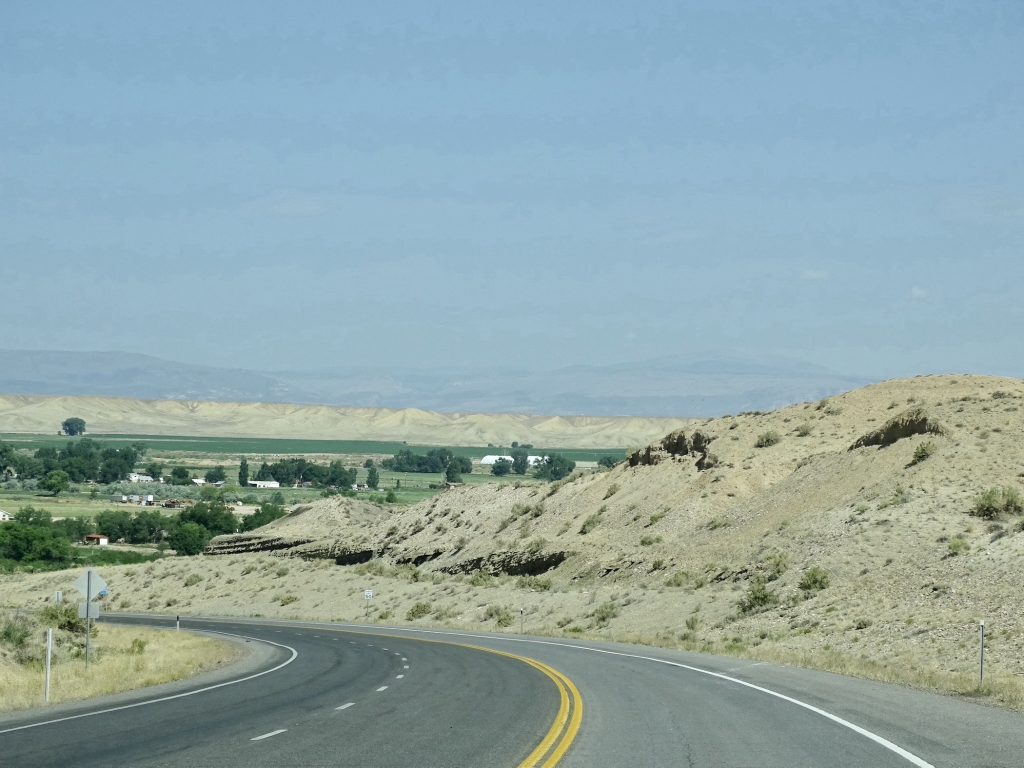
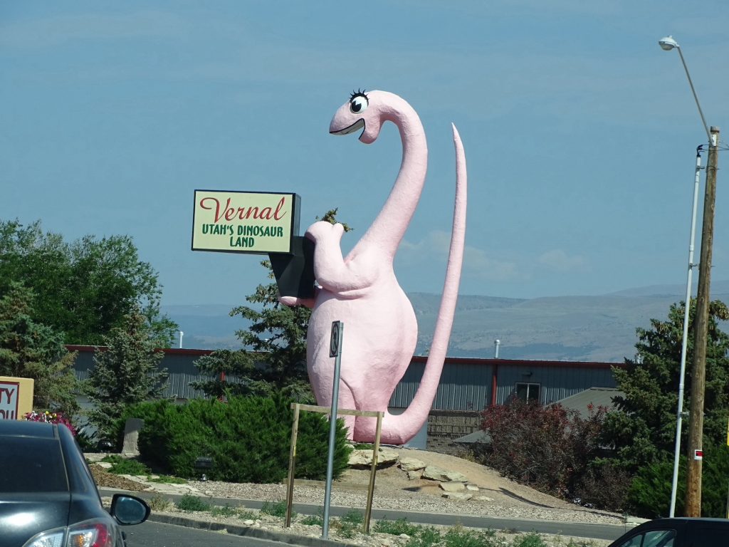
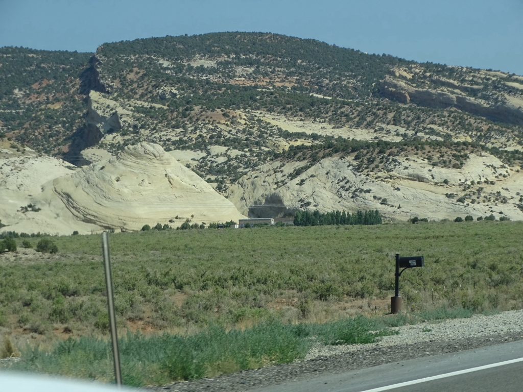
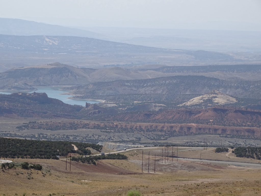
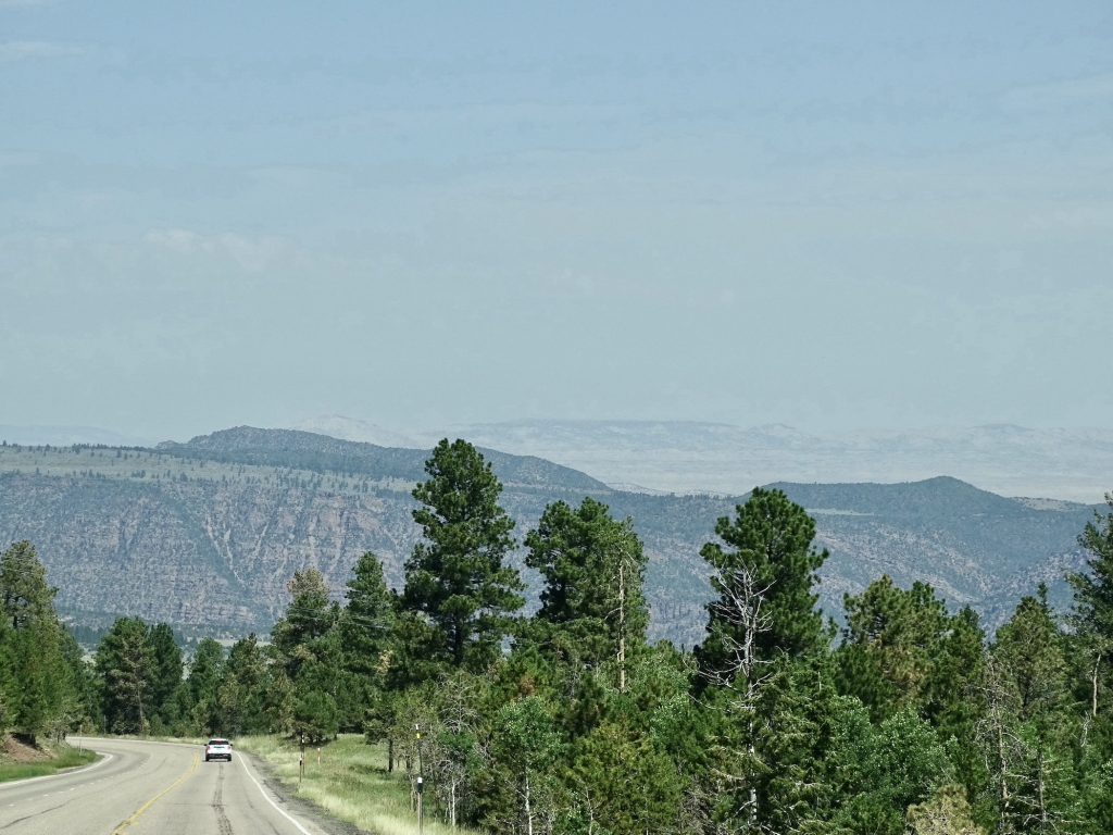
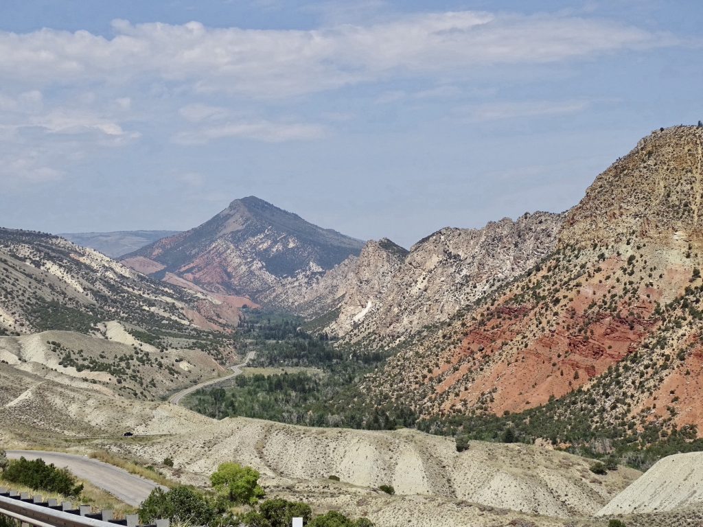
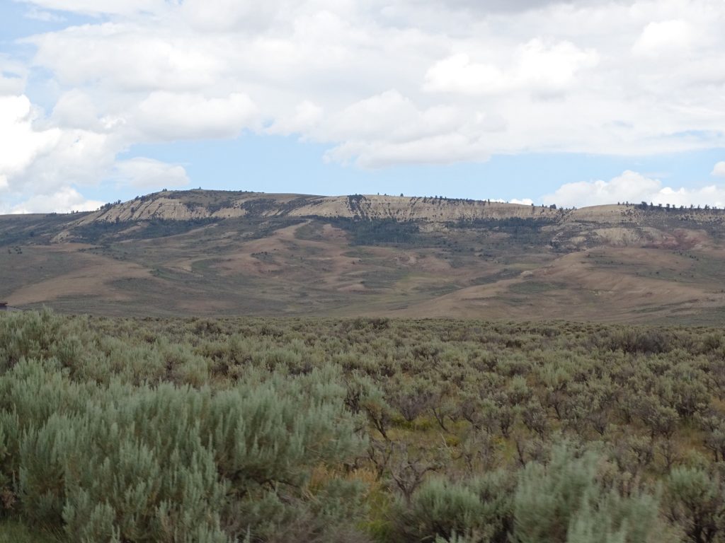
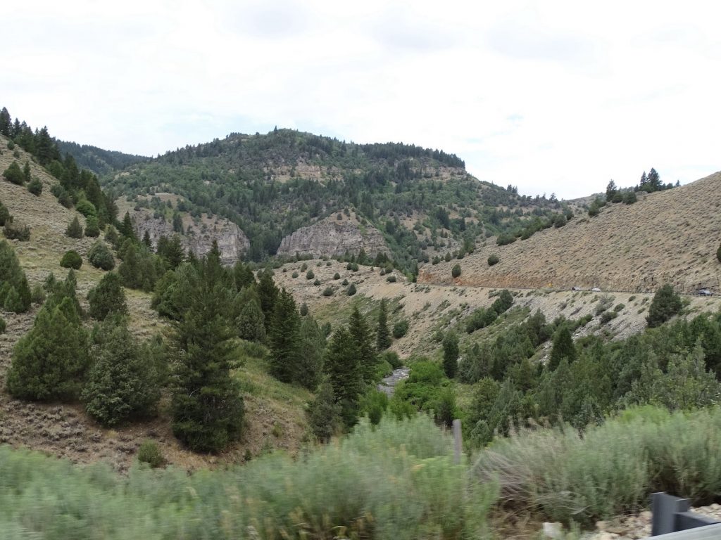
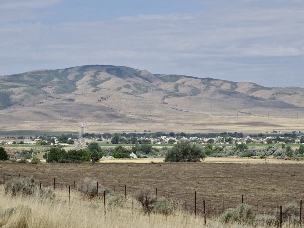
We turned west on US-40, headed for Utah, where the slogan is “Life Elevated”. The terrain was mostly flat, high desert valley with rock cliffs in the distance. We saw a lot of what appeared to be prairie dog hills, but oddly, no prairie dogs. I know ranchers hate them, so I wonder if they’ve found a way to exterminate the villages? As we descended into Jensen, the view was crazy. We were in desert, but the town was lush and green, thanks to water from the Green River. Just beyond, there was a line of what looked like great sand dunes, followed by mountains that looked darker. What a range! At Vernal, a picturesque town full of flowers, we found quite a few dinosaurs lurking about, too. The Utah Field House of Natural History State Park is there, and explores findings within 80 miles of town which tell more about the earth’s geologic history than the Grand Canyon. Today, though, our goal was Wyoming, so we turned north on US-191, another scenic drive.
Desert… …And Rocks
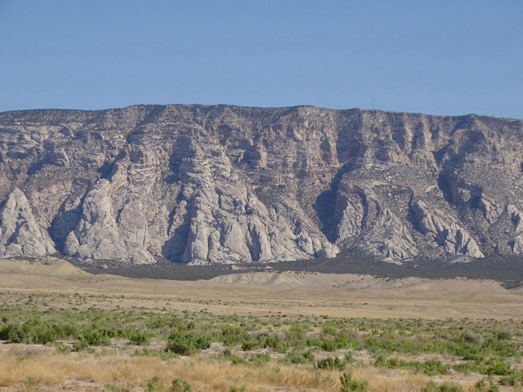
Look at the Textures!
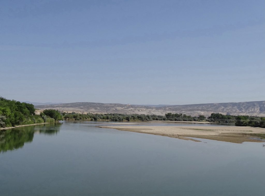
The Green River Utah’s Dinosaur Land
Roar!
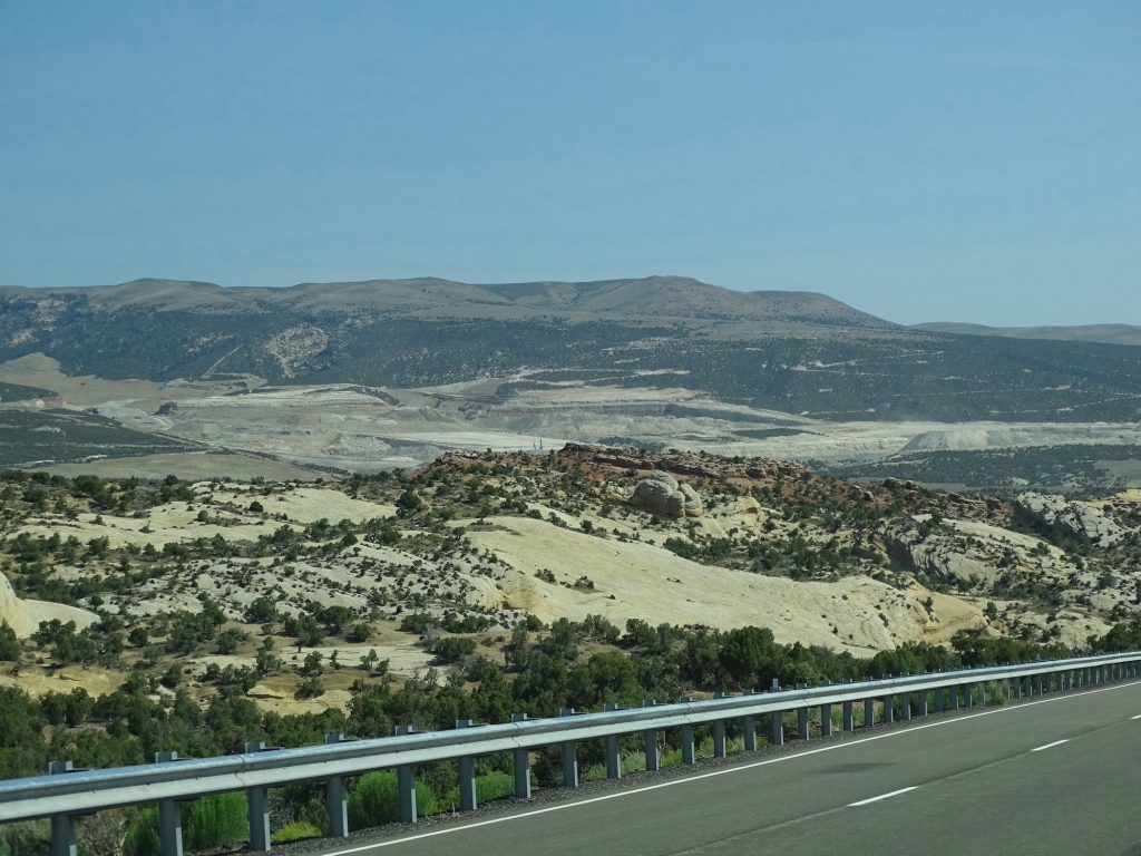
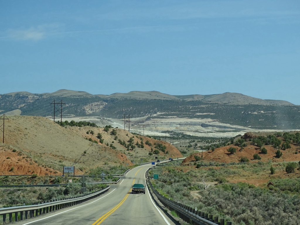
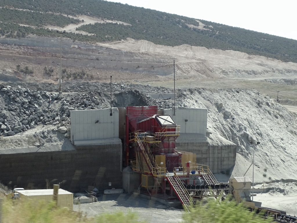
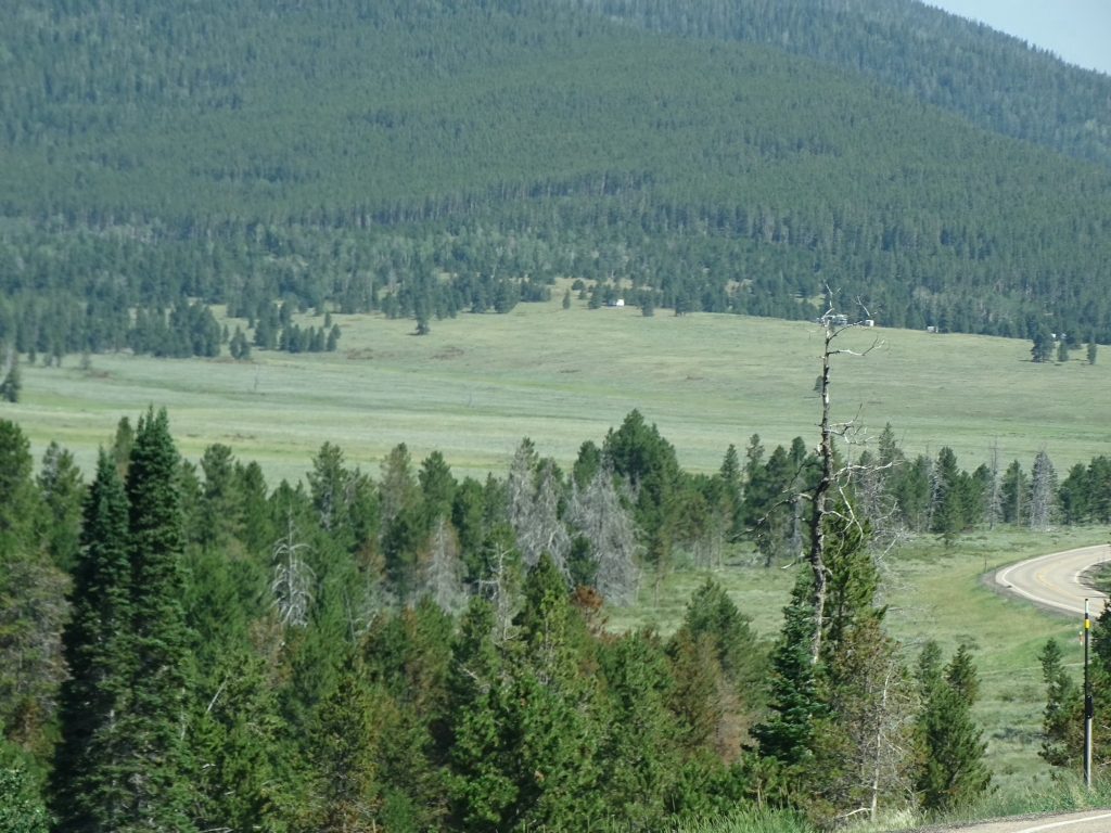
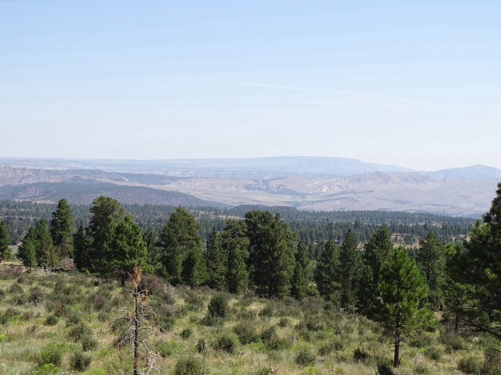
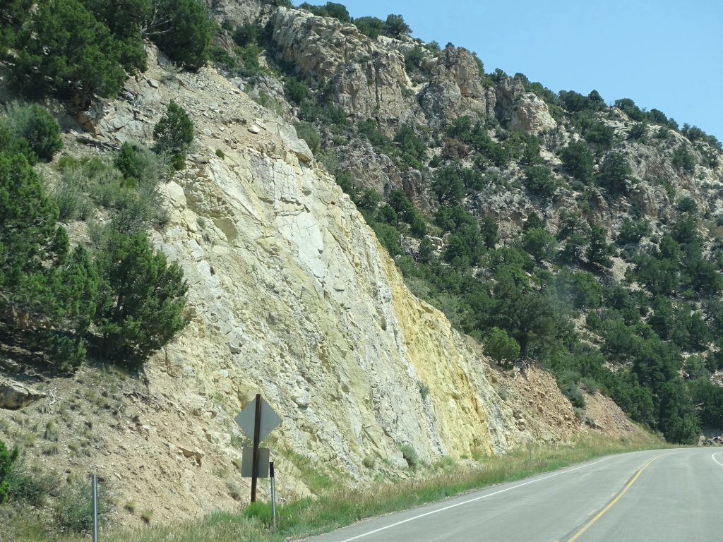
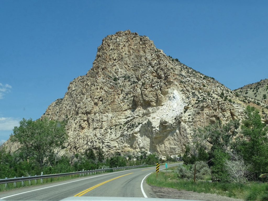
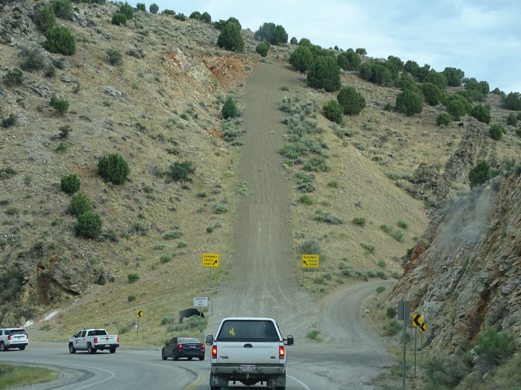
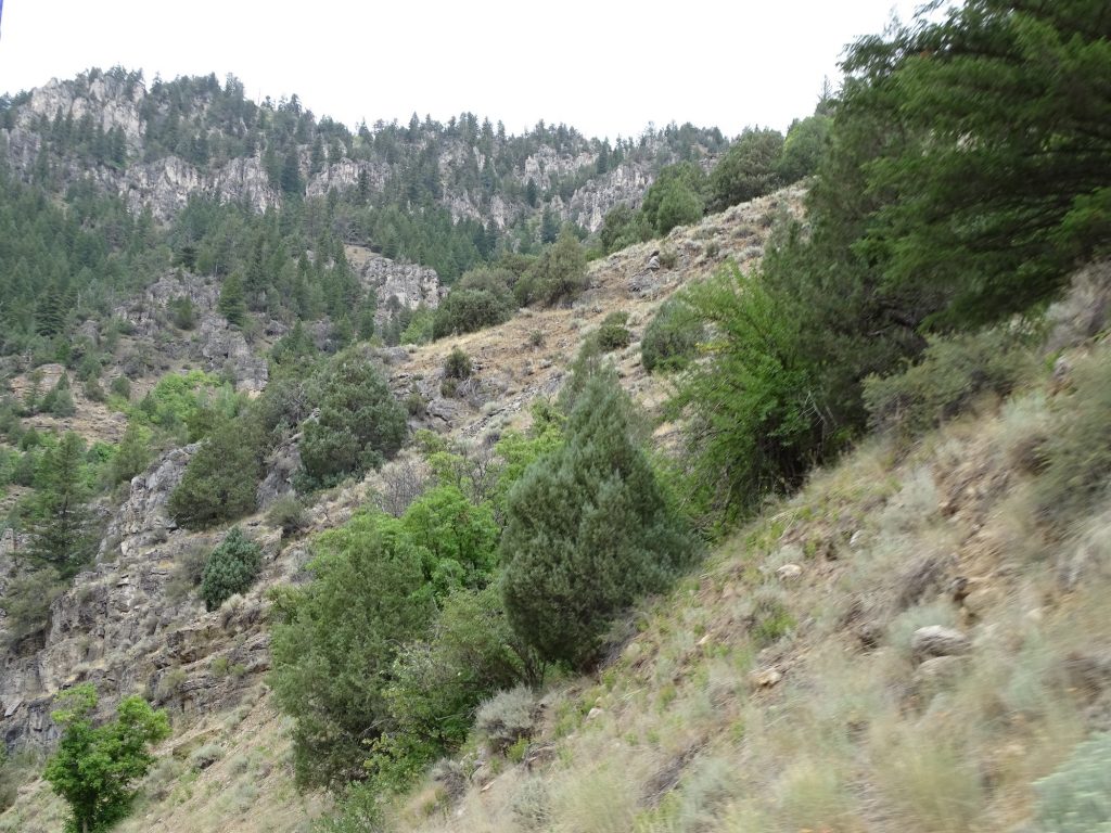
Just out of town, we started climbing. The terrain quickly became very rocky, and the road curved back and forth around formations. A little ways into the climb, we came upon the biggest mining/quarry operation I’ve ever seen…seriously, thousands of acres, but neither of us remember a sign for any company. About that time we got behind a guy towing a boat that said “Exclusive U.S. Open Towboats” on the back. At first I wondered why a golf or tennis tournament needed a tow boat, but we assumed there must be some type of water sports “Open”, too. As we neared the top, the land changed to scrubby grassland. We saw a pretty large buck in a field, but I wasn’t fast enough to give you a pic. The views were amazing looking back.
Look at the Rock on the Left…Crazy!
See the Mining/Quarry Operation in the Distance
Definitely Doing Something Layers
Where We… …Came From
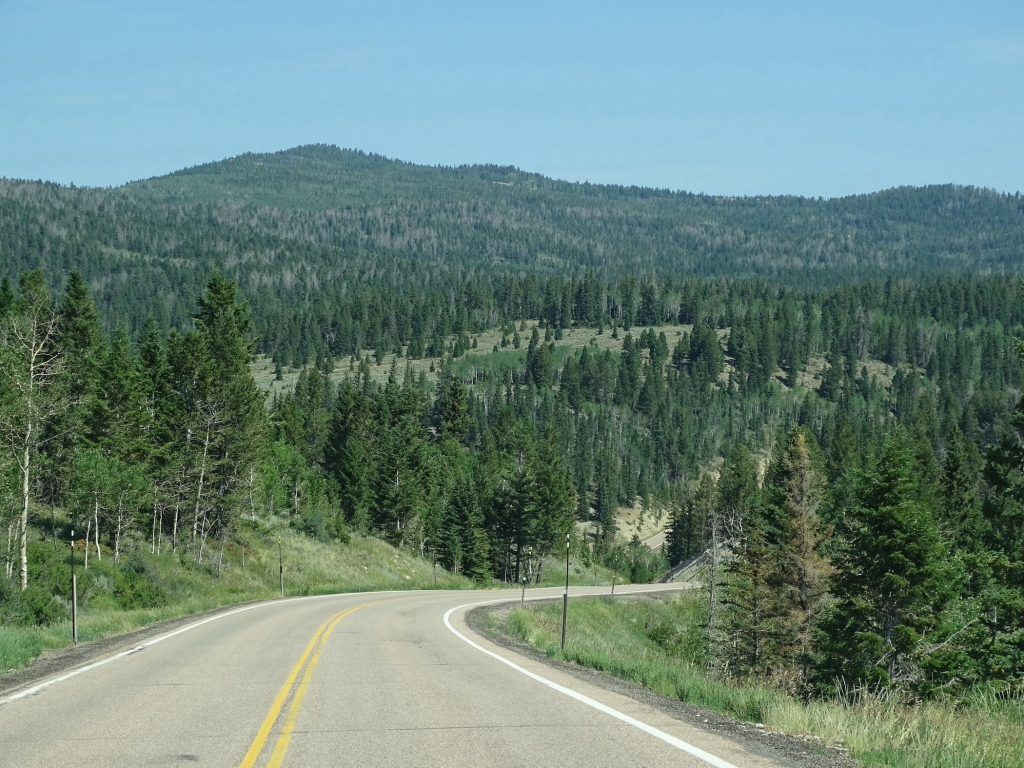
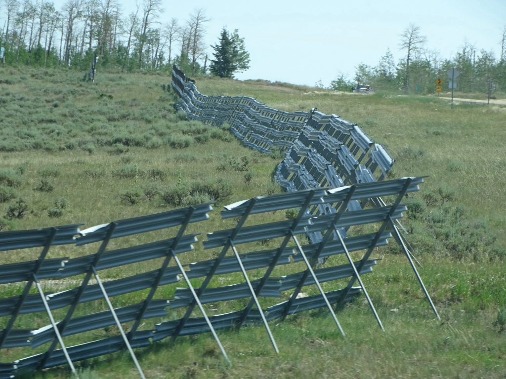
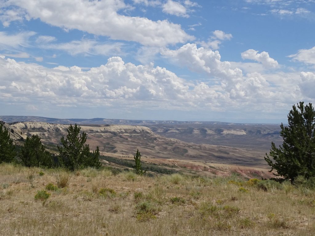
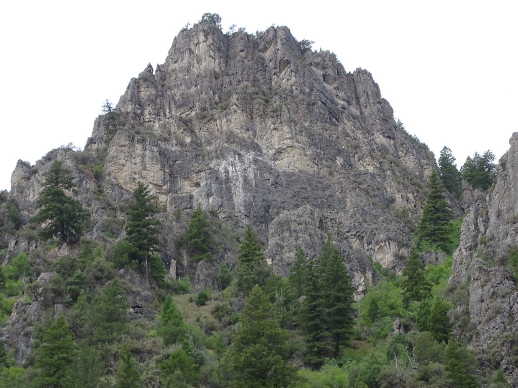
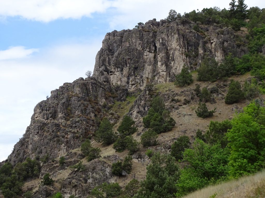
We topped the next ridge and suddenly, it all changed. Now there were aspens, tall pines, open grasslands, and SNOW FENCES! We also got our first glimpses of why they call this area Flaming Gorge.
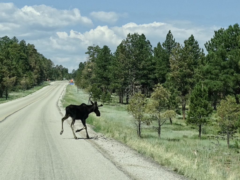
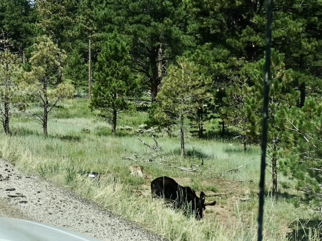
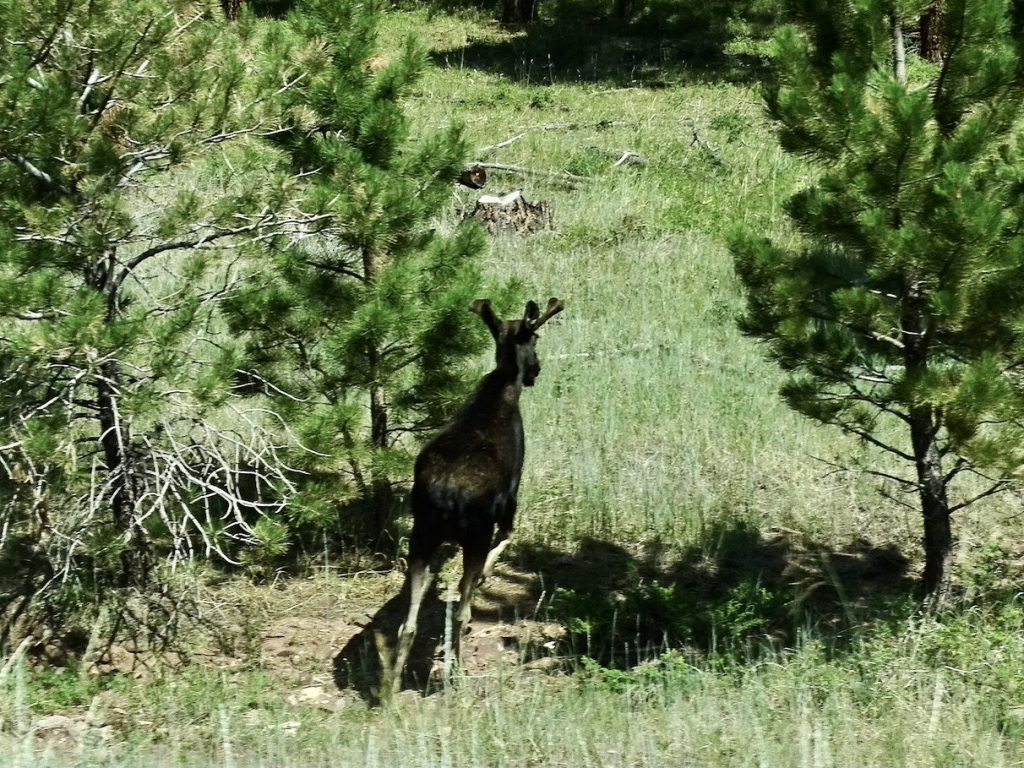
Let me set the scene…we are driving along these beautiful mountain roads. I’m in the passenger seat with the atlas and camera on my lap. MW had just mentioned lunch, so I was looking down at my cell phone to see if anything was coming up. Suddenly he yells “MOOSE! There’s a moose!” at the same time he is slamming hard on brakes. A young male ran across the road right in front of us! I seriously thought we were fixin’ to get moose meat through the front window, and was trying hard not to wet my pants. But amazingly, I dropped my phone and grabbed the camera. I caught HIM! Three times!! I will admit, though, that my heart rate did not go down for quite a while.
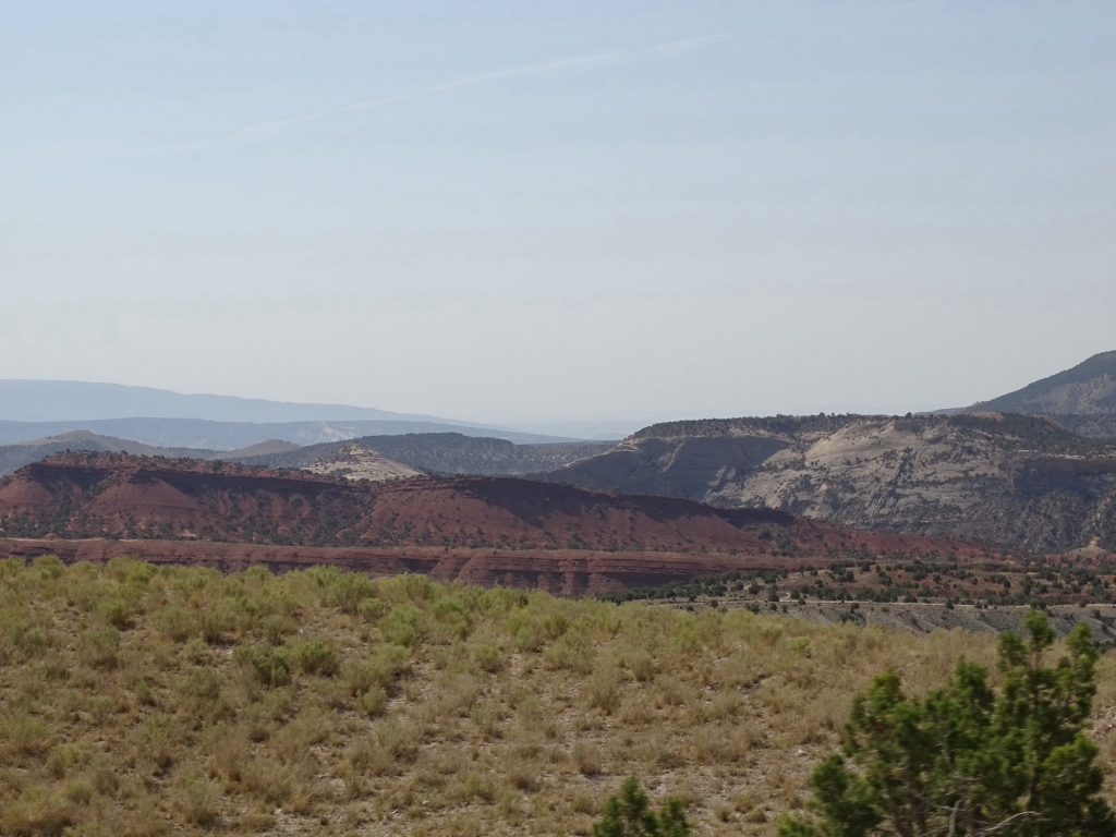
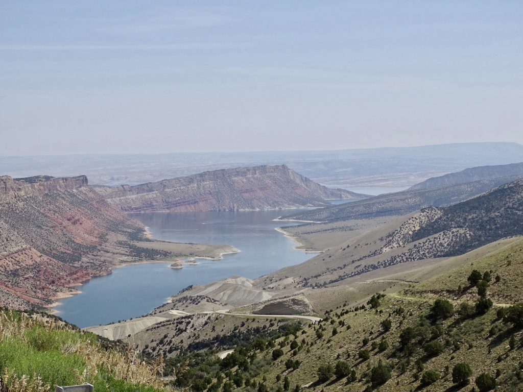
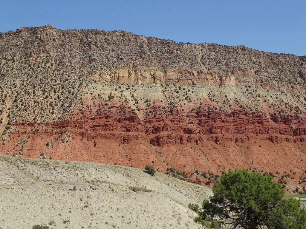
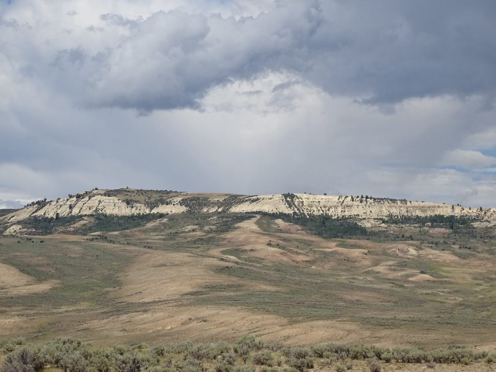
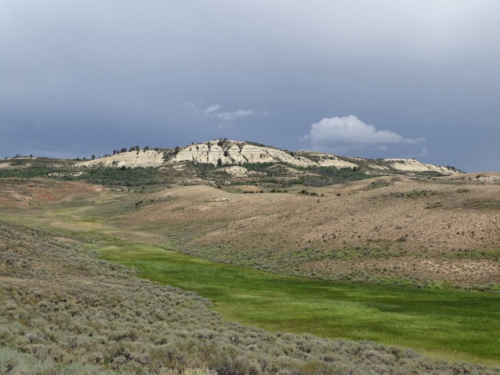
Just after the moose incident, we were going to go down to the Red Canyon Overlook where there was a lodge with a restaurant. We couldn’t tell from the satellite view whether we could get back out, though, and it was several miles in. That does occasionally happen on the days we are towing, although most of the time we can figure something out. This time we just turned around and rolled on down our original route. Before long we were out of forest and into the gorgeous colors of the Flaming Gorge National Recreation Area. The pics don’t do the red color justice. It is much darker than the southern red clay I grew up with. We turned west on UT-44 and stopped in Manila for lunch at Browning’s Cafe. One of the customers said everything on the menu was good. MW had the Utah Pastrami Burger, because seriously, pastrami and burger together was too tempting!! I had the fish sandwich, which was good, but served with WAAAYYYY too much tarter/mayo on it. (I really need to get in the habit of asking for that stuff on the side.)
Flaming Gorge Reservoir
Several Different Vertical Colors More
My New Screen Saver
Looks Like Flames Very White Where the Rock Broke Off
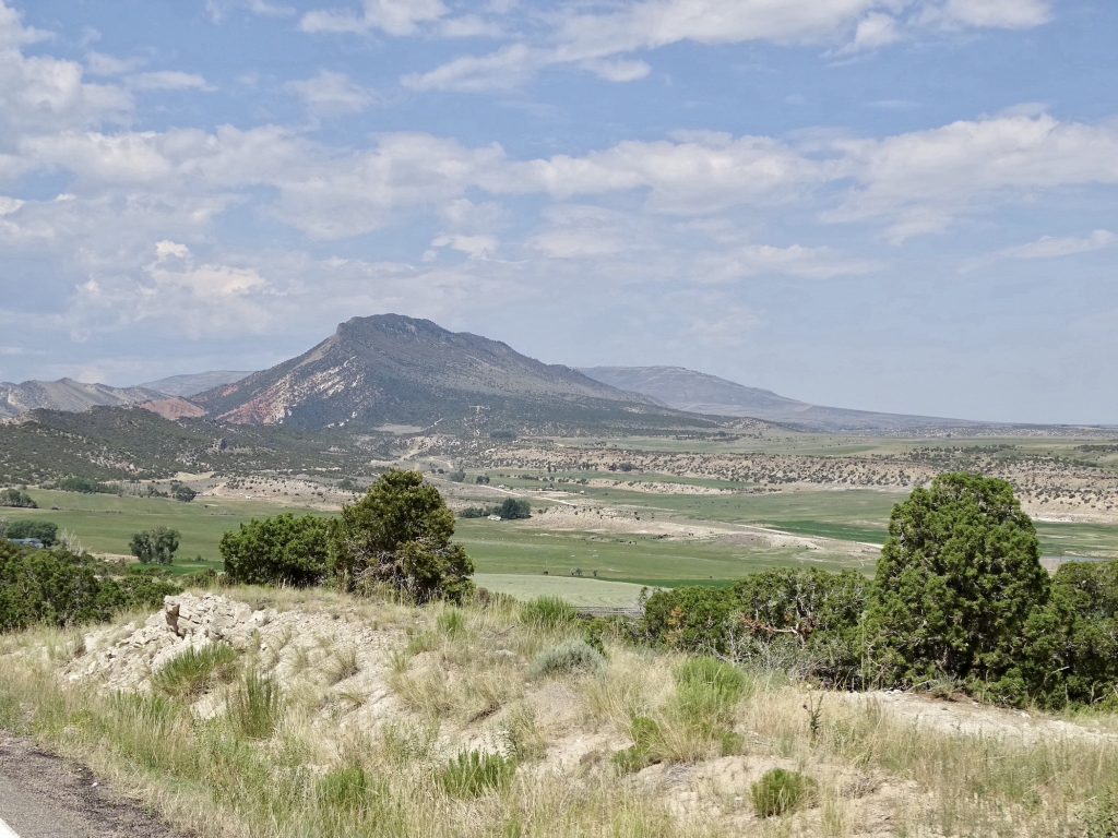
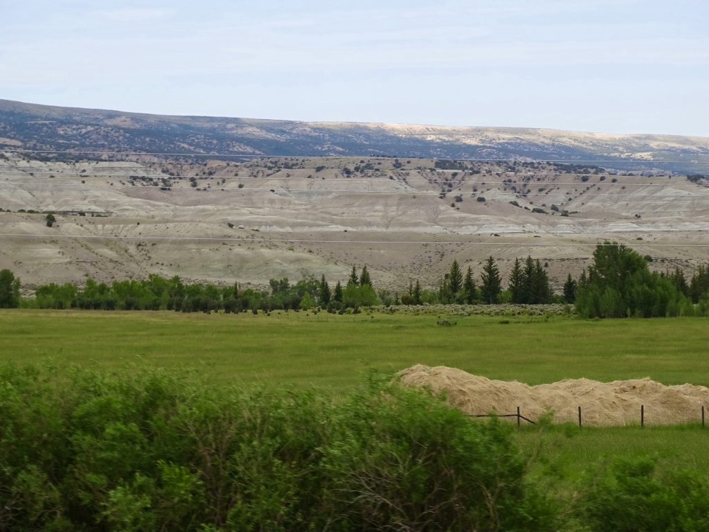
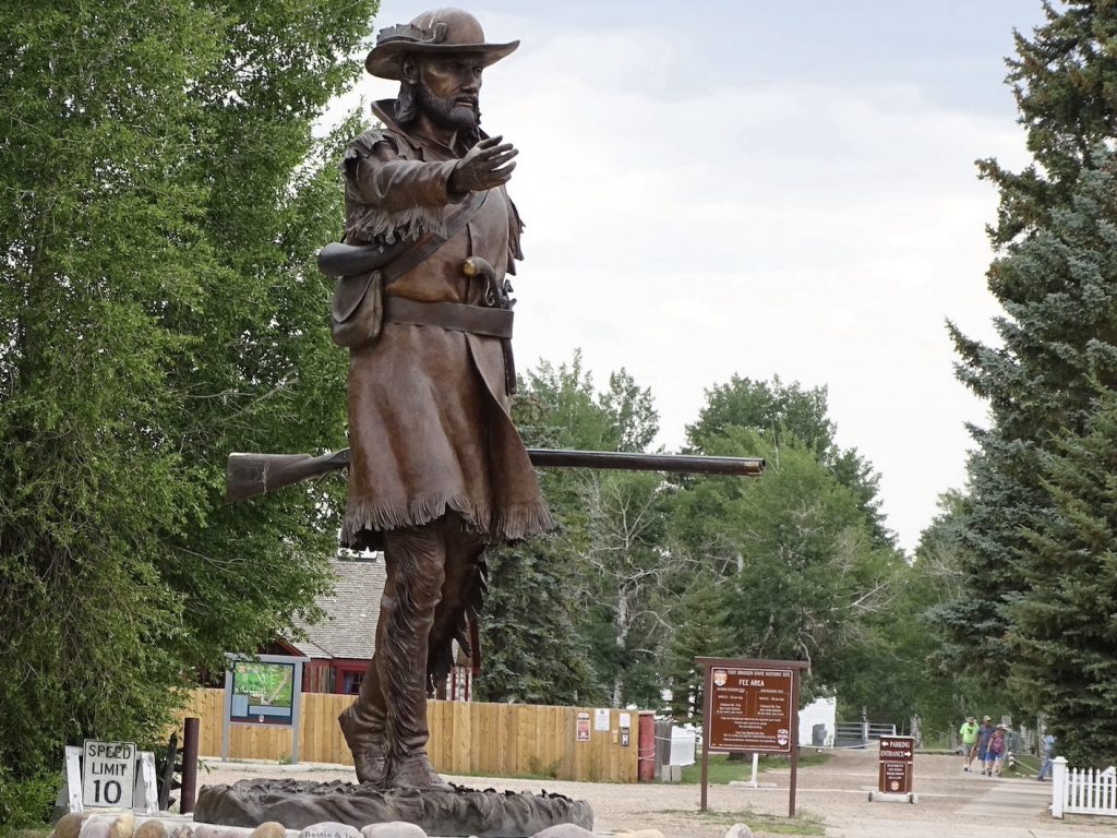
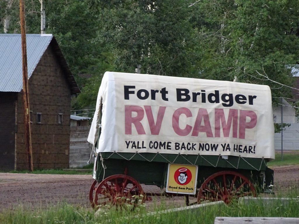
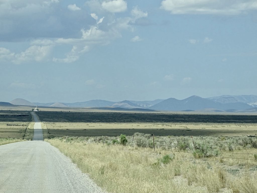
After lunch, we headed out on UT-43, which became WY-414 when we crossed the border a few miles up the road. Near Lonetree, there were large, green fields, and for the first time in my life, I saw a haystack…actually, lots of them. Not a stack of baled hay. An actual haystack. I’m unsure whether there was a needle, though. A few more miles down the road, and we arrived at Fort Bridger RV Park in Fort Bridger. The town is named for Jim Bridger, who was born in Virginia in 1804. He came west on a fur-trapping expedition in 1822, and spent the next 20 years exploring what is now Montana, Wyoming, Colorado, Utah, and Idaho on foot. He is thought to be the first white man to see the Great Salt Lake, and one of the first to explore Yellowstone. Can you imagine what all of that looked like then? Wow! He established Fort Bridger in southwest Wyoming in 1843. It functioned as a way station and trading post. His experience in the territory and his understanding of French, Spanish, and several native languages, made him the go-to guide and scout, a position he filled for the Army and other parties exploring the west. There are several places in Wyoming and Montana named for him.
One of My Favorite States! Well, Maybe a Hay Snake
Beautiful Contrast Jim Bridger
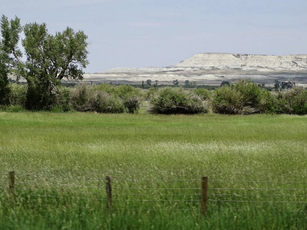
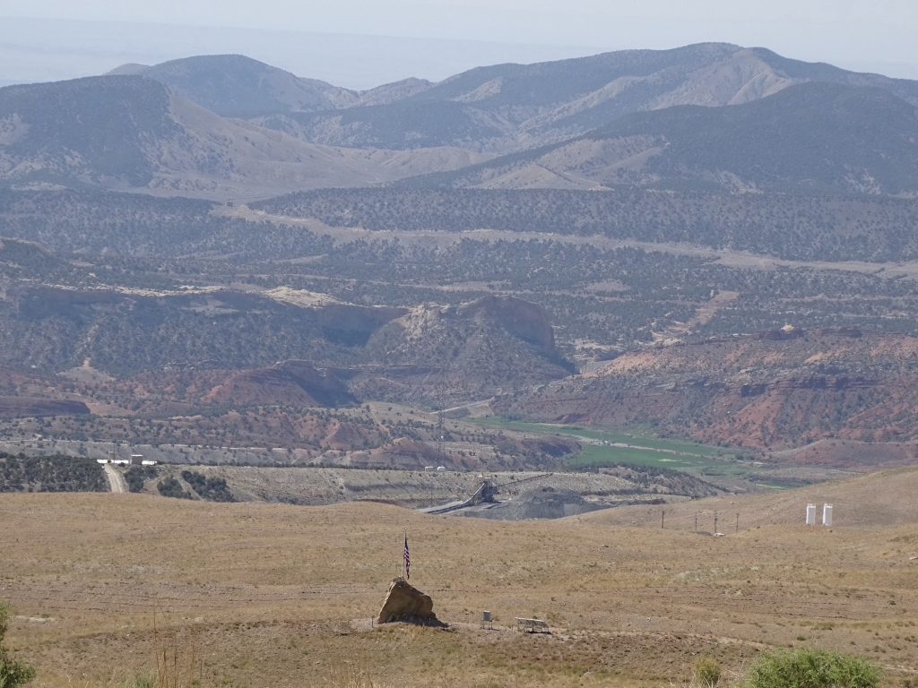
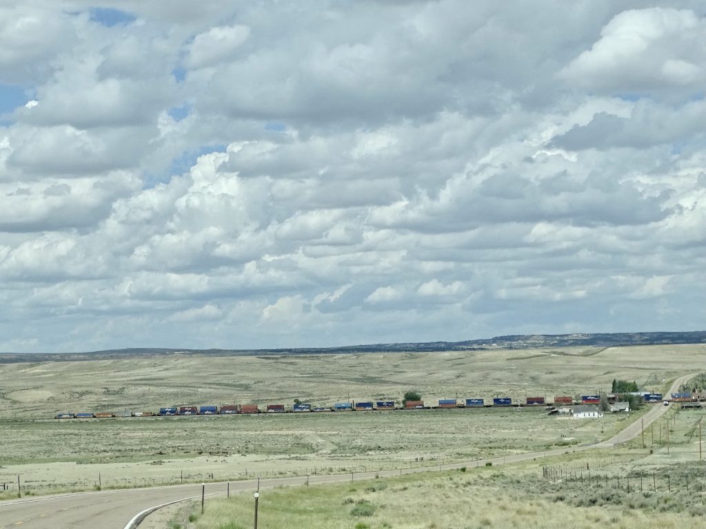
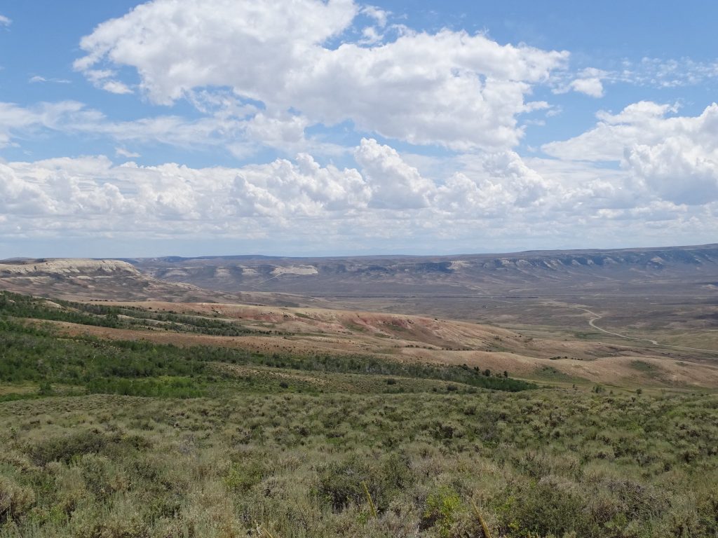
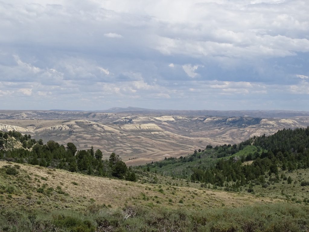
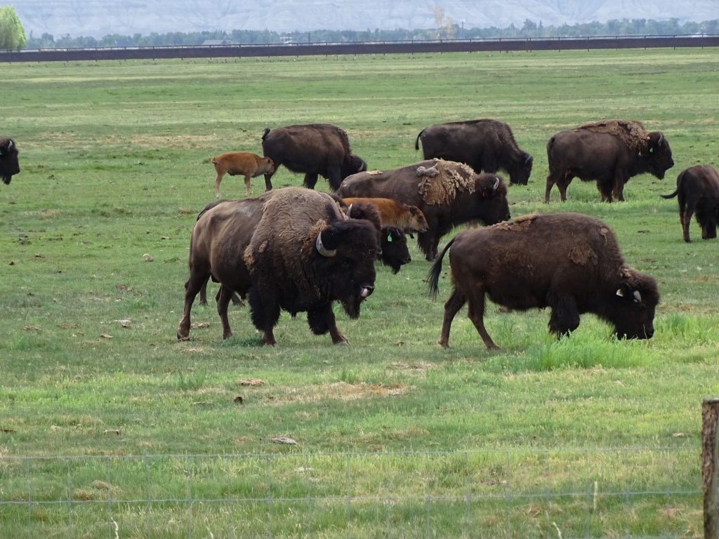
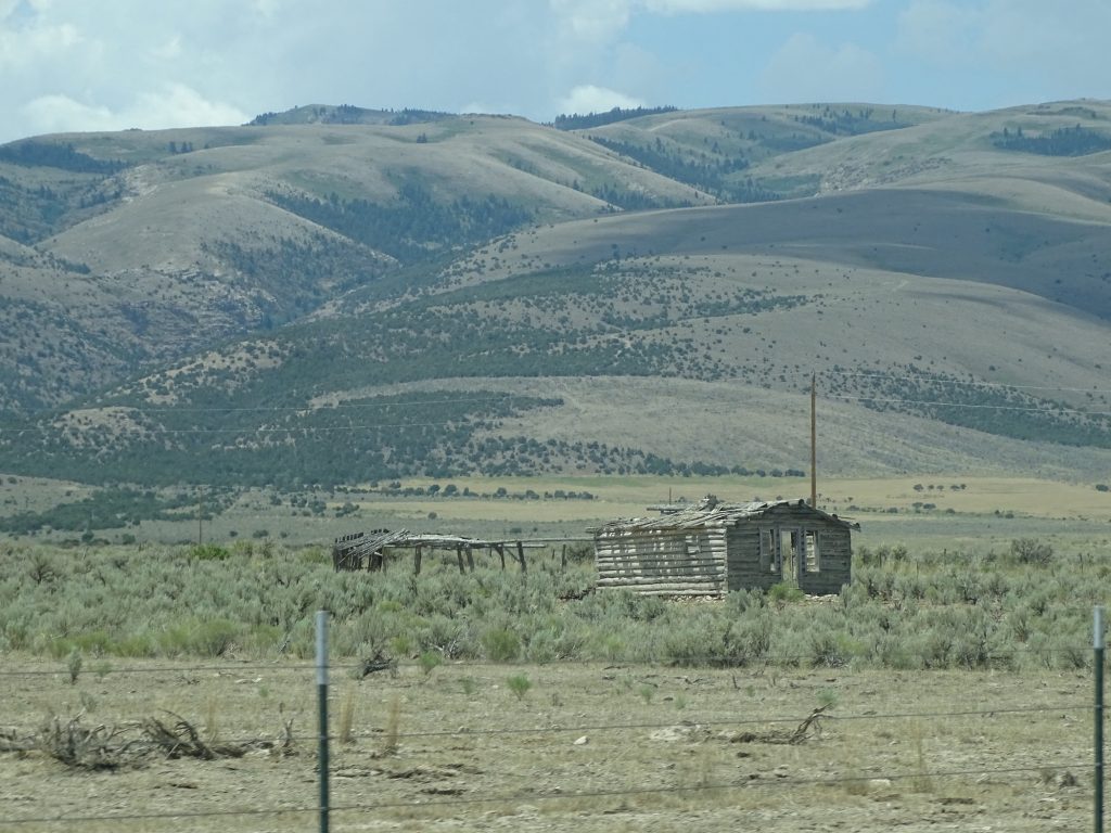
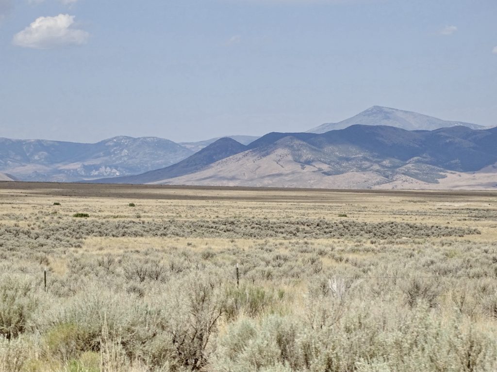
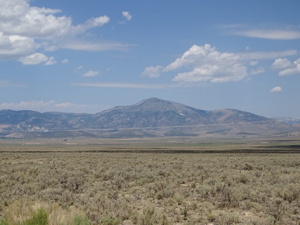
Tuesday morning started with writing…I can’t get behind, or it takes FOREVER to catch up! Later we headed out for a long drive to look at dead things, first going east to Lyman for fuel. I was taking a pic across the valley when MW pointed out a huge buffalo. Turned out, he was already going to be in my pic. Sometimes, you just get lucky. It would happen again in a few minutes. Mountains are almost always visible now, but sometimes beyond a wide open expanse. There are plenty of cattle in the area, but they are spread out across miles and miles of hills and plain, some of which has more scrub than grass. We took a short dirt road over to WY-412 through Carter. This town is marked on the map, but really looks like a ghost town. In fact, when looking it up, it wasn’t even called a town, but a “census designated place”. What does that mean?? Once home to 200 or so people and a strong economy, this railroad town provided shipped goods to the entire area. As always, things change. The railroad stop at Carter dried up, with the town following shortly thereafter. Today there are four buildings still standing from what the town was, and it doesn’t appear to have any residents. We are now on the west side of the Continental Divide, which means that streams and rivers here end up in the Pacific Ocean. On the atlas I noticed that, just west of us, is the Great Divide Basin. Apparently, there are several basins along the Divide where water doesn’t drain to any ocean. I don’t remember that ever coming up in school, but then again, my memory sucks eggs! The major routes west, the Oregon Trail to the north and the Overland Trail to the south, avoided the area, called the Saline Plain, in the 1800s. Although most of the roads marked through this arid area are dirt, US-287 and I-80 pass through, too. I’m seeing another dirt road tour in my future!
Bill Carter
Carter…With a Train Passing Through
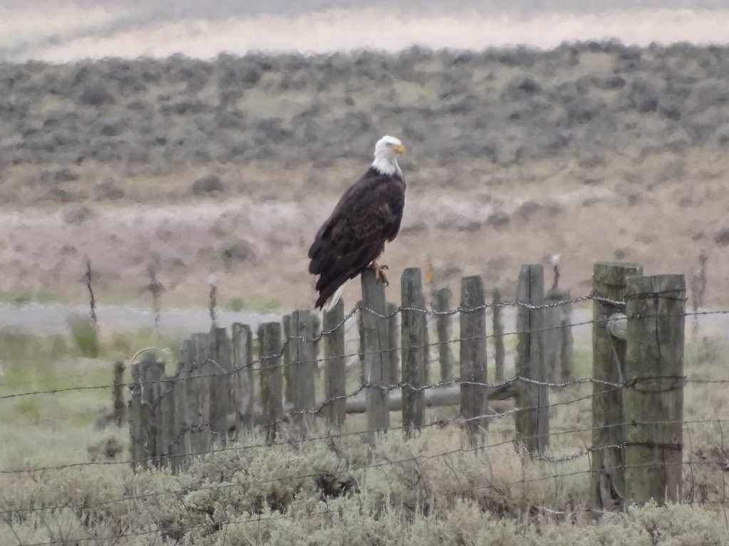
Past Carter, we got lucky again. This time, MW spotted a bald eagle just hanging out on a fence post. The lovely fellow was kind enough to stay put while MW whipped off the road so that I could get a pic. The fence post was at least 3′ tall, so you can see…he was huge! We didn’t expect to see one in the desert away from a large fishing hole, for sure.
Along the… Way
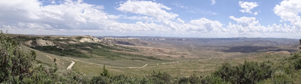
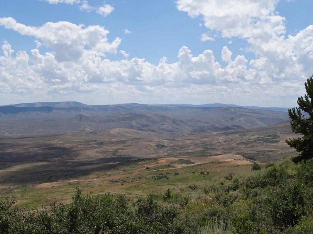
After that excitement, we turned north on US-189 to Kemmerer, then west over to our destination, Fossil Butte National Monument. I see dead…fishes, crocodiles, mosquitos, etc., etc., etc…but no people! This was a pretty cool place. Aside from amazing scenery, 50 million years of the earth’s history can be documented in one place. Most of Wyoming, Utah and Colorado were once covered by a huge lake, which was at some points saline and at others fresh. Over the course of time, as flora and fauna died and were covered with sediment, the layers were compacted into various types of rock. Now, they can chip away edges at the butte and lift up entire layers, kind of like picking up a granite countertop, that show fossils from all kinds of things. Pretty cool. The other thing that was interesting is the relative ages of our mountains. One of the things I find amazing about the Rockies is that they are so big that climates change drastically from one side to the other. It’s what I’ve been showing in pics when driving through desert one minute and pine forest the next. Don’t get me wrong…I LOVE the Appalachian Mountains. We’ve driven the entire Blue Ridge Parkway and Skyline Drive and traveled through parts all the way to Maine. Our barn in Tennessee sits in the foothills. Generally, though, the terrain is very similar. Some areas may be a little rockier than others, but for the most part you are looking at great hardwood forests interspersed with some varieties of pines and open, grassy areas. One side of a mountain may get slightly more rain than the other, but not nearly on the scale of desert versus forest. The other striking difference is the heights. Mount Mitchell, the tallest in the Appalachian range, is 6,684′. Compare that to the Rockies’ Mount Elbert, which is 14,440′. Why is that? Well, you know how people get shorter as they age? So do mountains, and the Appalachians are MUCH older than the Rockies. We’re not talking hundreds, thousands, or even hundreds of thousands of years older. According to geologists, the Appalachian Mountains formed in stages between 460 and 350 million years ago. The Rockies formed between 280 and 70 million years ago. That means that some sections of the Appalachians are 280 MILLION years older. So, erosion over millions of years can shrink a mountain by 8,000′. Wow! We explored the museum and checked out all of the neat fossils, including an almost complete crocodile. They also have a couple of short films about the butte history and preserving the fossils, and an area to watch geologists/ paleontologists work on items that have been unearthed. In the park, there are several hiking trails, some very strenuous. There are also porcupines, moose, red foxes, coyotes, badgers, jack rabbits, and pronghorns. We took the drive up the butte, most of which is a narrow dirt road. Near the top, we surprised a small herd of pronghorns. After enjoying the incredible, long-range views, we retraced our route back to Petunia where I got a little work done.
Entering the Park
Panorama from the Deck
From the Road Up
Pronghorns
Oh My!!
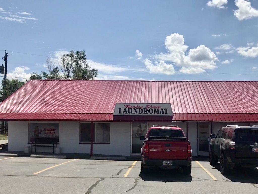
Wednesday started with writing, then a trip west to Evanston, Wyoming, to take care of the laundry. On the way, I saw cowboys/cowgirls actually out on horseback rounding up cattle. Unfortunately, at 75 mph on the interstate, I couldn’t get a pic for you. At Monkey Shines Laundromat (a super clean, but slightly expensive place), I met a nice couple who were on a road trip. They were sleeping in the back of their Suburban and towing everything they needed in a small U-Haul. Impressive! They were both competitive kayakers, and were on the return leg of a month-long drive to compete in Oregon. It’s nice to get a bit of social interaction now and again. Before heading back to Fort Bridger, I got a mani-pedi at Pro Nails. She did a decent job, but was generally rude and talked on a video call the entire time I was there. On the way back to Petunia, I went through Lyman to get gas and was able to get a close look at the buffalo herd there. The rest of the day was spent catching up on bookkeeping work and a bit of TV.
Here You Go Mom…Monkey Shines Laundromat Some of the Herd
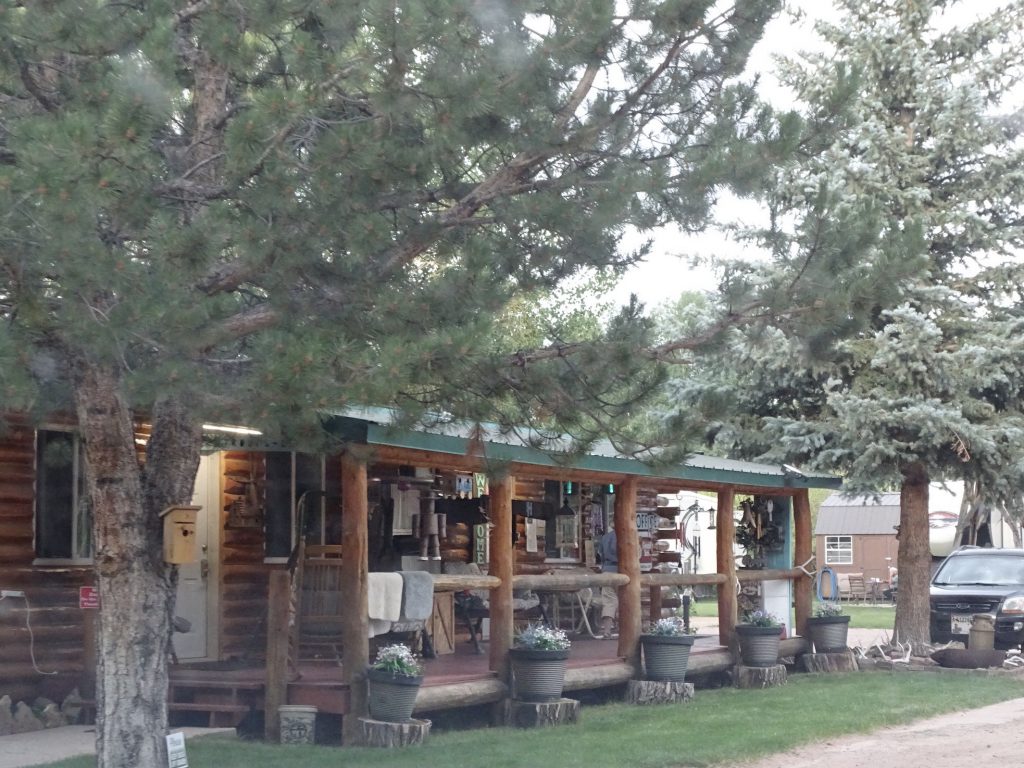
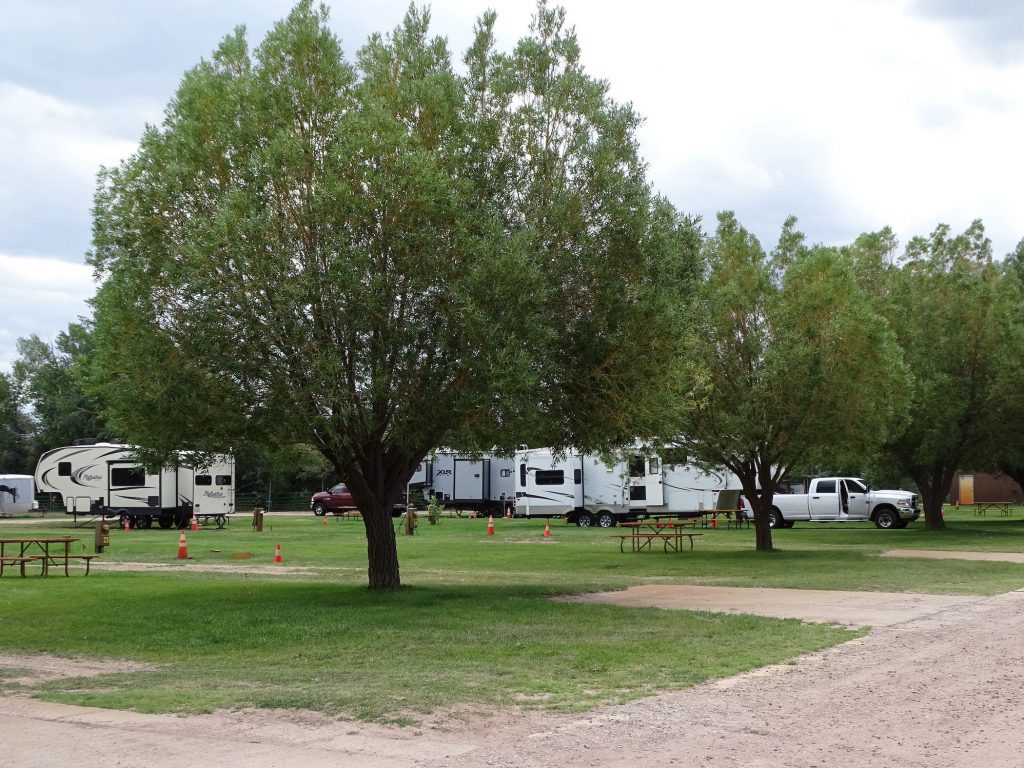
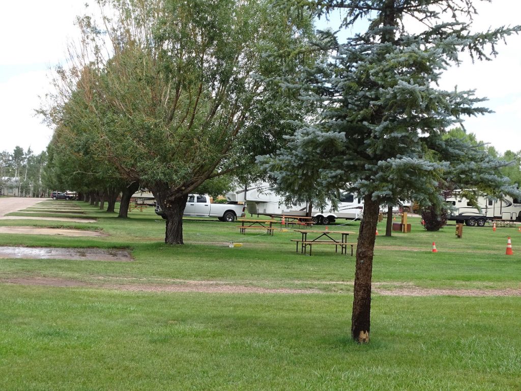
Fort Bridger RV Camp is one of the few private campgrounds we’ve stayed in, and is a very basic park. It is a Good Sam park, and also offers a military discount. There are a handful of what appear to be long term tenants, but it is very neat and clean. Facilities include a small laundry with two washers and two dryers. The bathhouse is in the main building, and is very clean and nice. There are 32 full-hookup, 50-amp sites, half of which are pull-through across the grass. Sites are fairly level, all grass and dirt with separate parking areas and picnic tables. It was very peaceful and quiet enough to sleep with the windows open. We would stay again. For this visit in July 2021, we paid $140.40 for three nights.
Office, Laundry, and Bathhouse
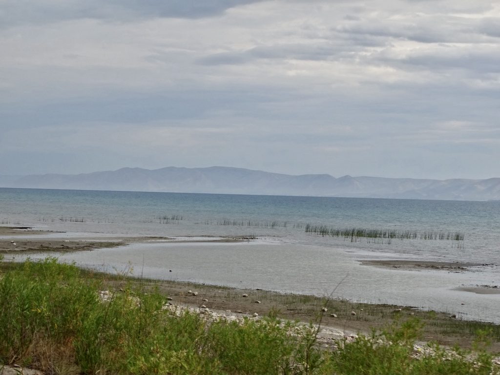
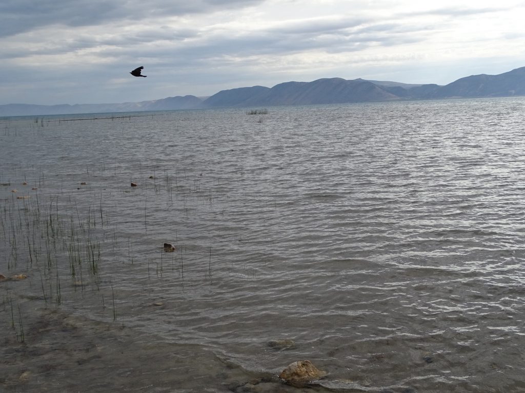
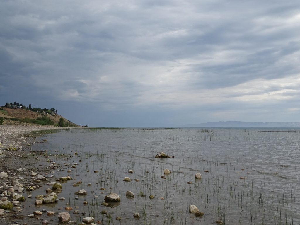
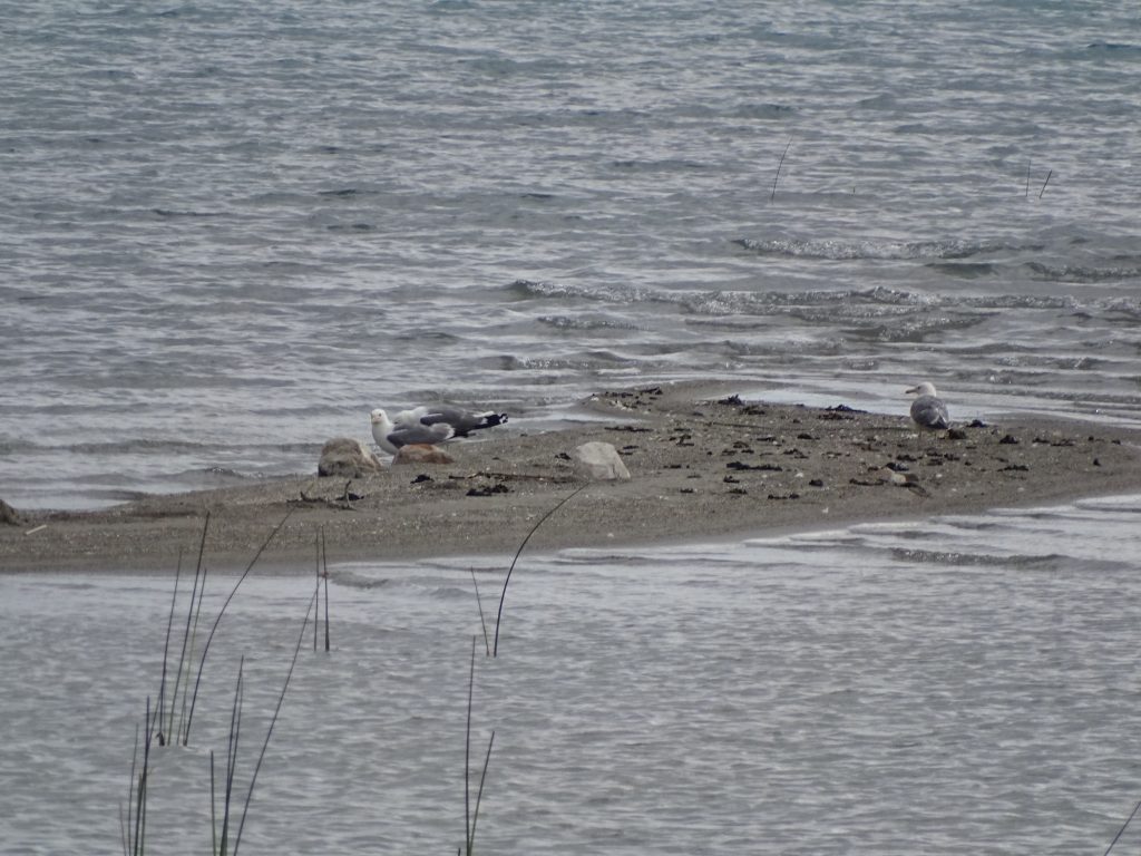
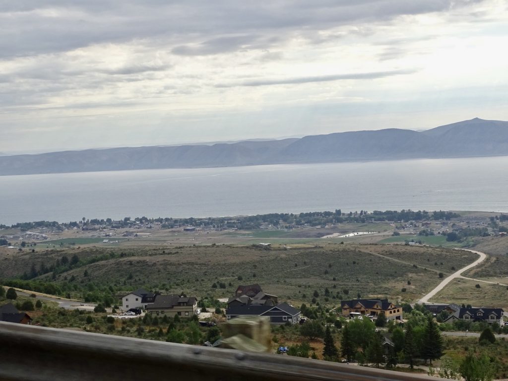
Thursday it was time to hit the road again, and we were out about 7:15 AM. First we headed west over to Evanston, then turned north on WY-89, which became UT-16 when we crossed the Utah state line. As soon as we turned off of the interstate, we entered open range area, and there were often cows wandering near the road. There were a few pronghorns, too. We passed through the Wasatch Range, turning west on UT-30. At Bear Lake, we stopped to walk around, and I put my feet in the water. The lake is HUGE, and it was pretty cold, even in July. Laketown, at the southern tip of the lake, was a small, beautiful community. We were surprised, however, when we made it to Garden City, which is basically a high-altitude beach town.
Boxed In Look at That Ramp
Yes, It Is As Steep As It Looks!
Bear Lake
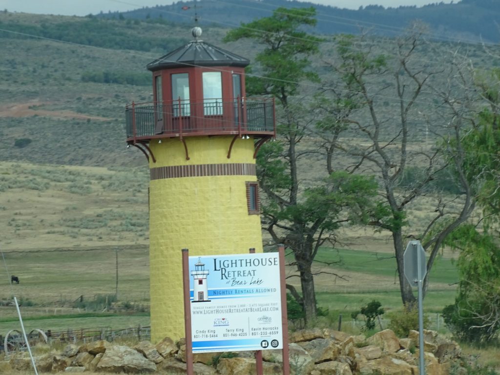
An Unexpected Lighthouse Looking Back at Garden City
As we turned west out of Garden City on US-89, we started climbing through very rugged mountains. The road followed a river, and there were plenty of men, women, and children trying their luck. There were also still free range cows hanging about.
Looking Up
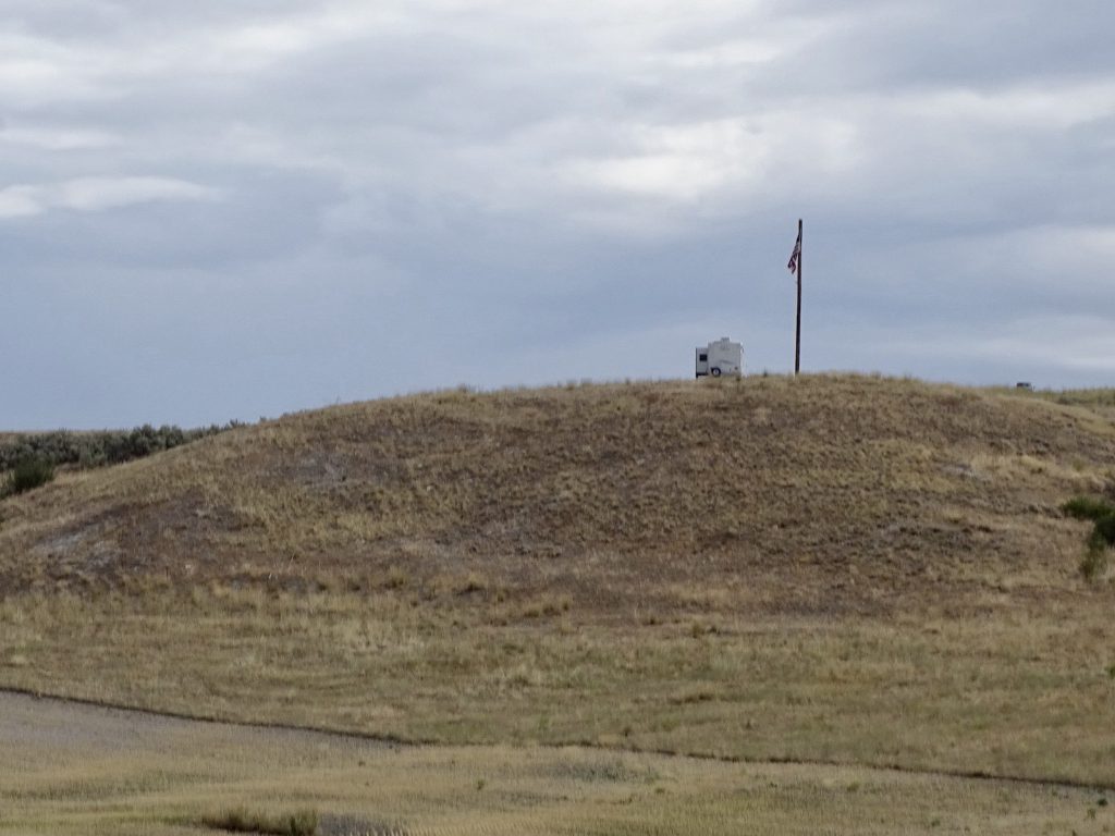
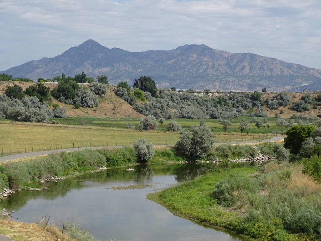
We passed through Logan and hopped on I-84 north at Tremonton. The mountains gave way to more rolling land as we went north. Although we don’t drive that fast when dragging Petunia along, the interstate speed limit of 80 mph makes me feel very liberated somehow. We passed a guy with the best RV spot I’ve ever seen…360 degree views of mountains in the distance AND a flag. Too cool!
Best RV Site Ever
Collinston Bear River
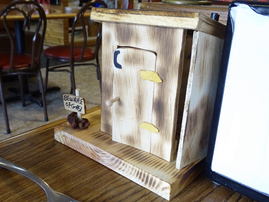
At Snowville, we found the Ranch House Diner for lunch. MW had a modified club sandwich, and I had an open-faced roast beef sandwich. Yum! Delicious basic food. Each table had a little outhouse sitting with the condiments, and while we were waiting for our food, MW opened the door. There was a loud snap and the roof blew off. I was thankful to be sitting in a booth seat. I might have thrown myself backwards out of a chair. The lady next to us said she did the same thing the first time her husband opened it. Apparently someone resets the trap inside when they clean the tables.
You Can See the Wall is Off, Too
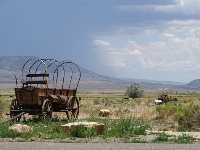
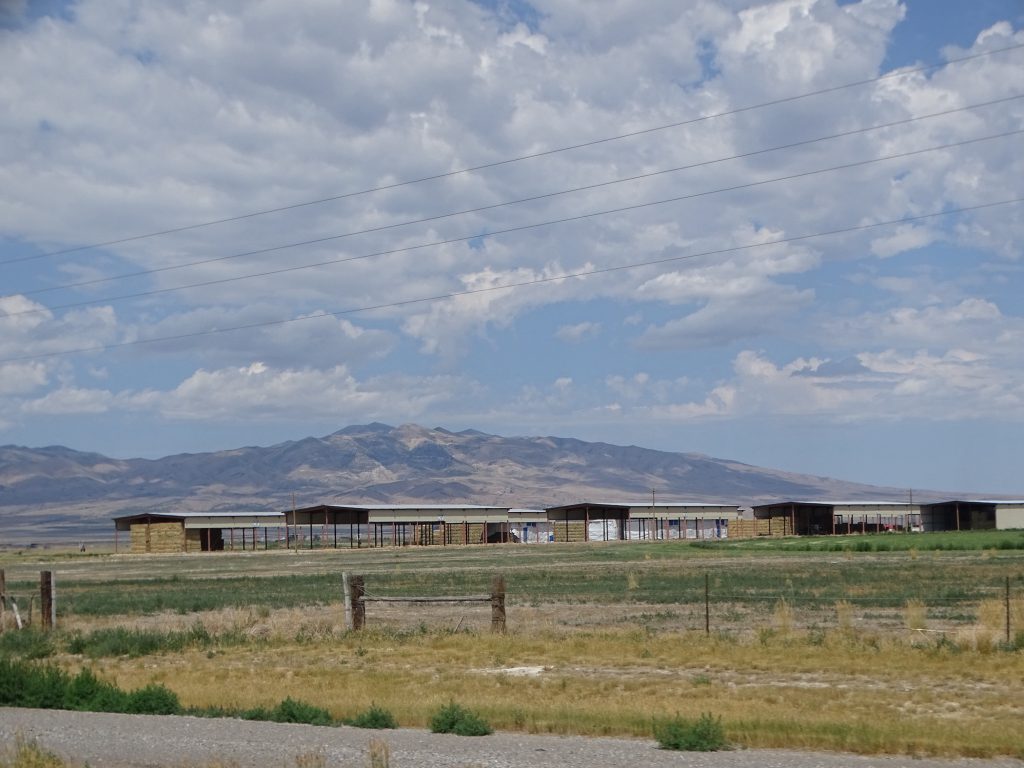
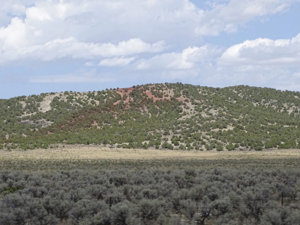
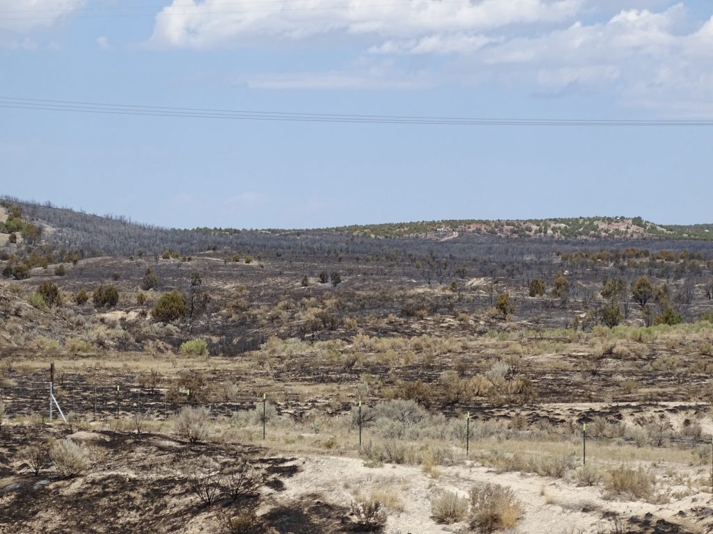
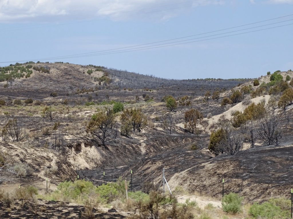
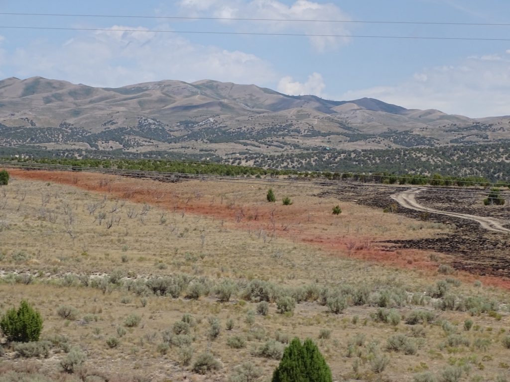
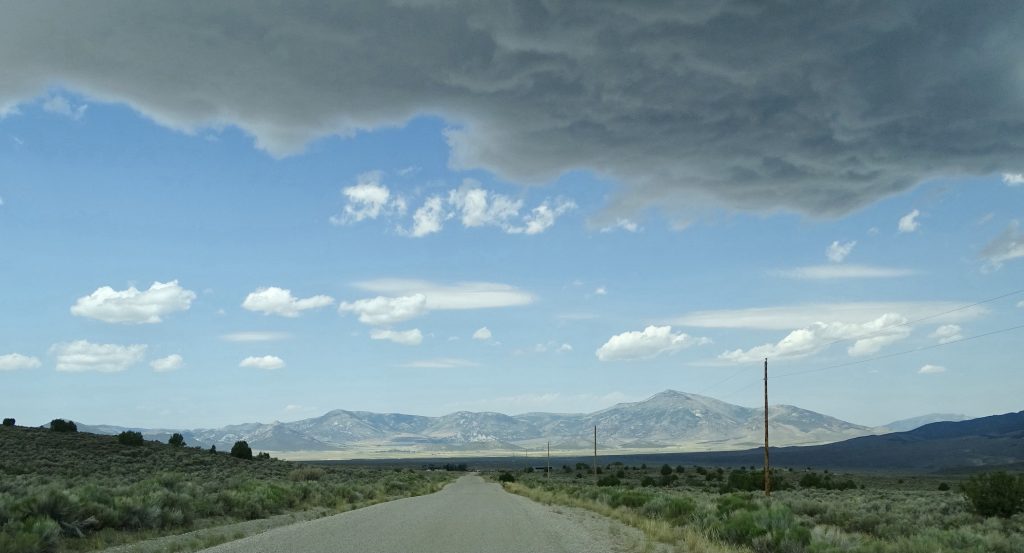
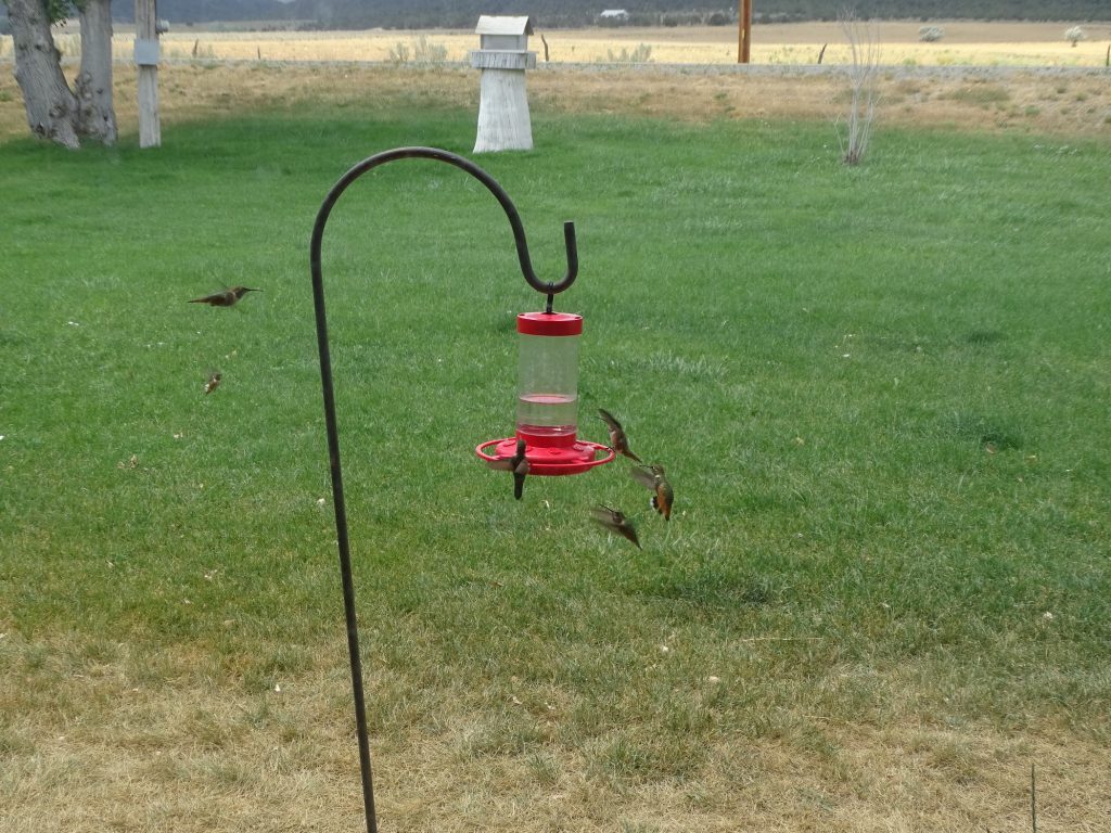
After lunch, we turned west on UT-30 to UT-42. The Curlew Valley is all about retail hay production and is filled with hay in various stages. It appears that they water in giant round circles during growing, and seed it all in order to be constantly harvesting during the season. The hay bale stacks were tremendous. The scale of farms/ranches is so different in the west. Back on the interstate, there was a “No Trespassing” sign for Blind Springs Ranch that said “Next 5 Miles”. Think about it. That’s just one measurement, so no telling how many square miles it is in total. Quite often you will see a wide open valley of thousands of acres (a square mile is 640 acres), and the ranch house will be a tiny, little dot in the middle with nothing else in sight. Crazy! As we came out of the valley, we noticed an odd red color on the hillside. MW said it was possibly fire retardant like you see dropped from planes. Bingo! Earlier we passed several wildfire crew trucks, and when we topped the hill, we found what they had been working on…a very large area had burned and was still smoldering in places. There was also what appeared to be a command center and a helicopter across the road from the burn. I always thought they were dropping the red stuff on the fire, but this makes it look like they are dropping it where the fire is likely to try to go. Interesting. We couldn’t really tell whether this was a practice thing, a controlled burn, or a wildfire. I wouldn’t think they would do the first two in the current conditions, though. We crossed into Idaho, where the road became ID-81, and turned left after a few miles onto a long, dirt road. About 27 miles later, after the GPS tried to turn us through at least two fenced pastures, the road changed to pavement just as we approached our destination, Castle Rocks State Park in Almo, Idaho. We went by the visitor’s center in town to check in. While MW took care of that, I was looking out the window at a hummingbird feeder. Sadly, I couldn’t catch all of them at one time, but there must have been a dozen fighting for a spot! They are just so beautiful. We headed up the mountain to the campsites and got everything set up. The storm in the wagon pic caught up with us just after we set up, but was really just a bit of wind and a little rain. Later we went back to town (just a couple of miles) to check out the little all-in-one store. This is a tiny place without much to do except enjoy the scenery and hike.
Giant Hay Barns The Size of an Office Building
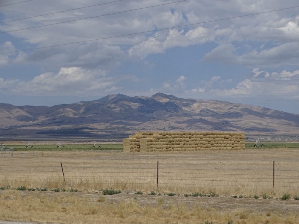
White Things Are Giant, Building-Sized Bales, Wrapped in Plastic
Odd Red Area Part of Burned Area
More Burn West Edge
The LONG Dirt Road Isolated
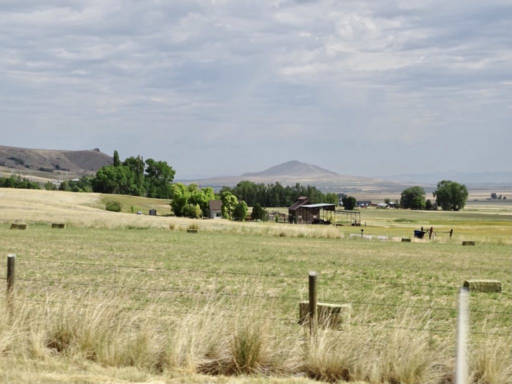
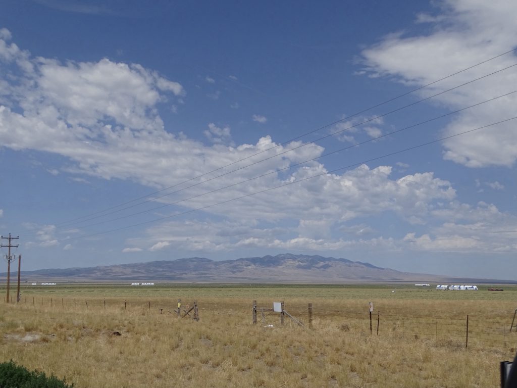
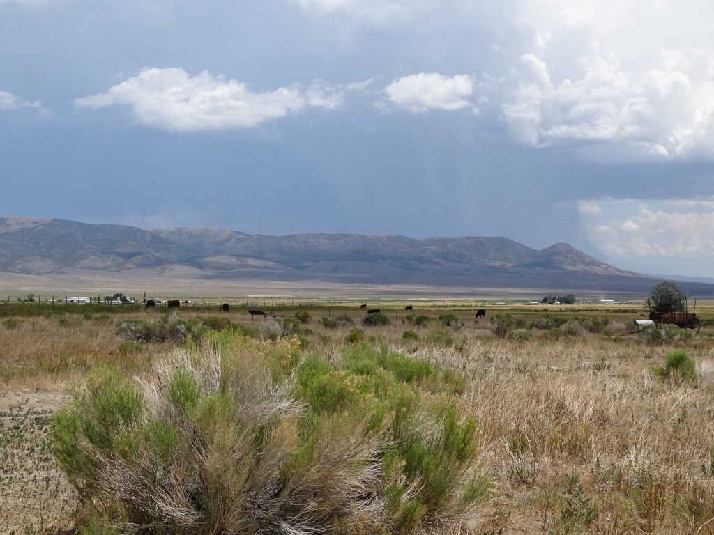
Near Malta – Cloud Shadow on the Mountain Wide, Open Valley
Is This a Sign of Some Kind?
Caught (kind) Five! Part of Almo from the Campground Entrance
Things are a little different this week. I’m heading out on a girl’s trip with my BFF, Tina Ring. MW is hanging out at Petunia, doing a little exploring, and enjoying the quiet. I’ll fill you in on the adventures in the next post and also tell you about the park. See you on the path!
Talisa
P.S. Hit the follow button to be notified of new posts and please SHARE, SHARE, SHARE on social media! Thank you!