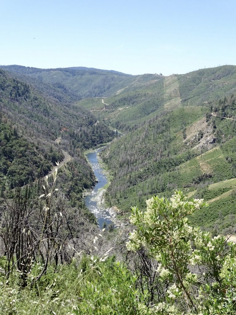
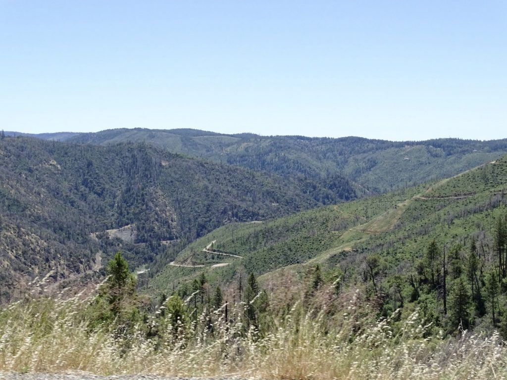
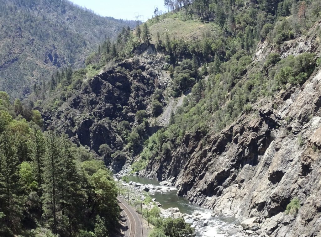
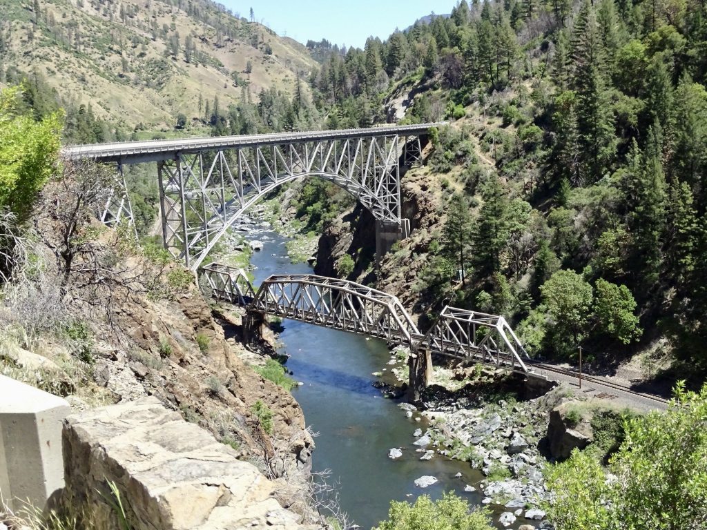
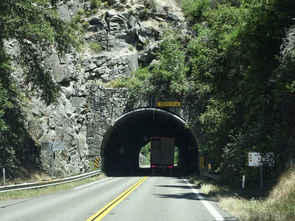
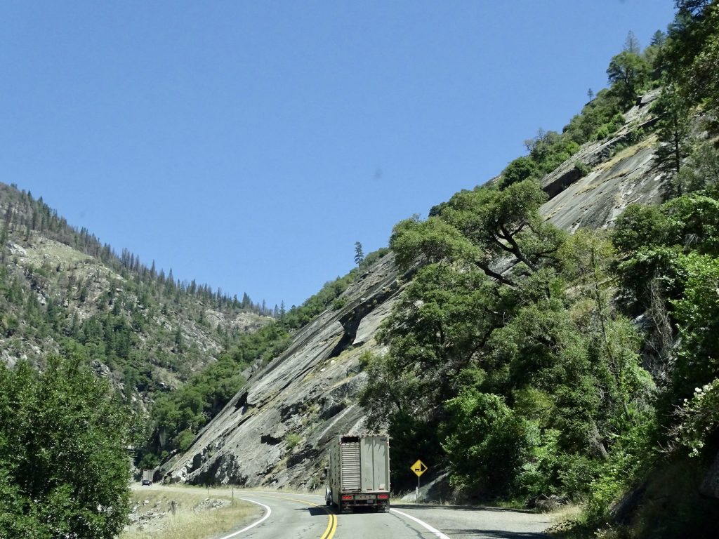
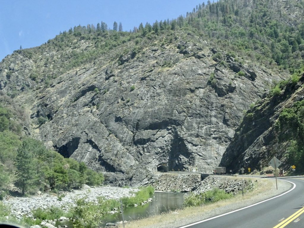
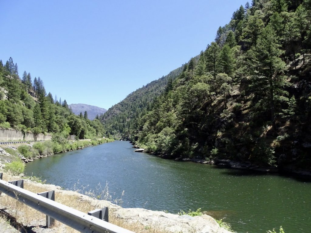
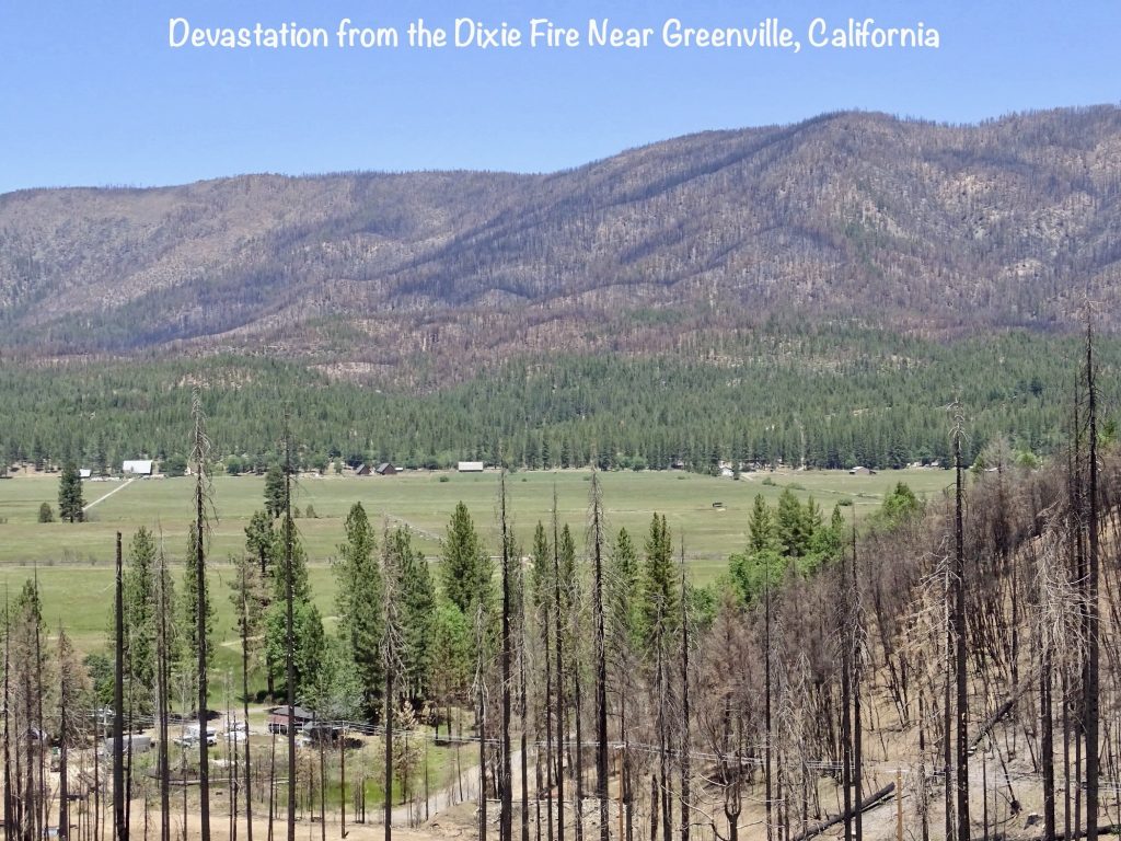
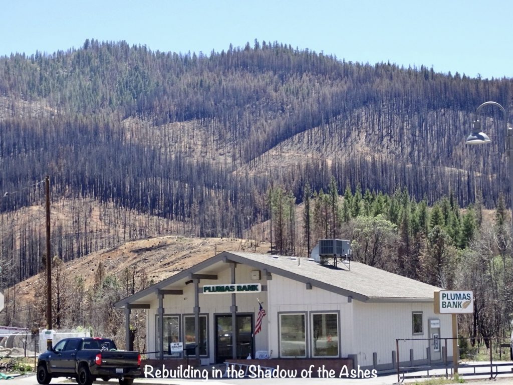
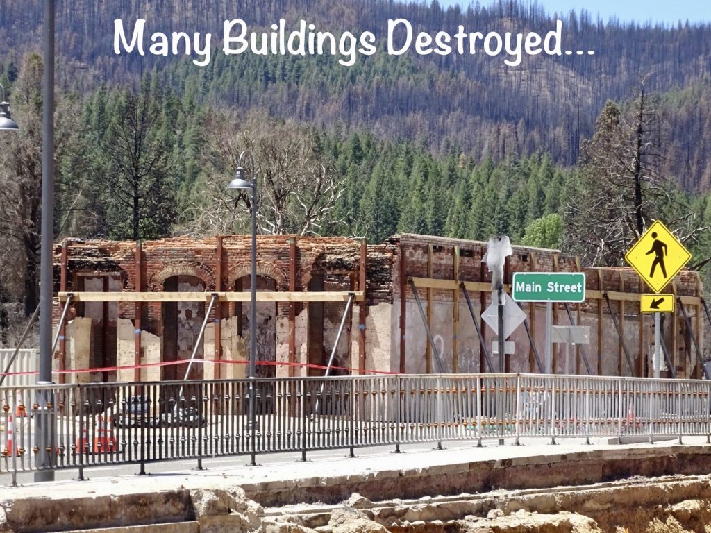
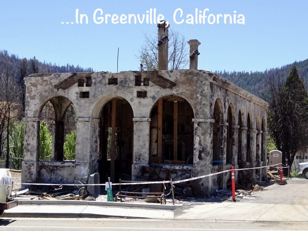
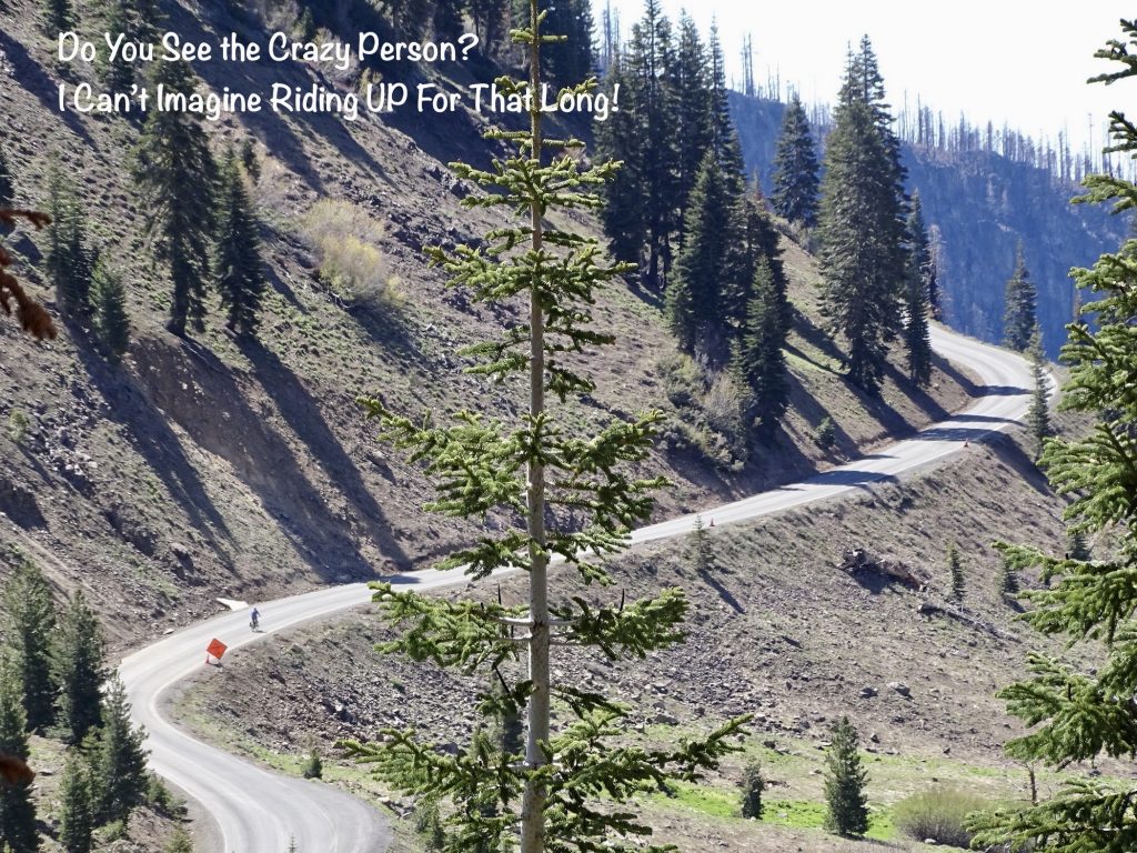
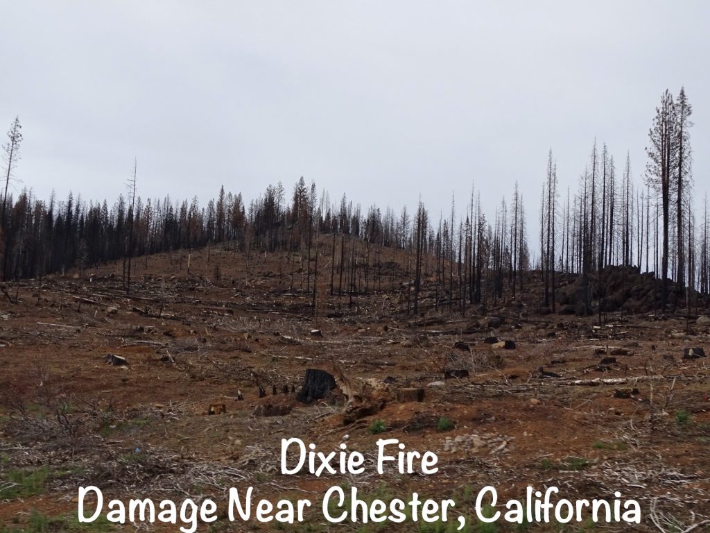
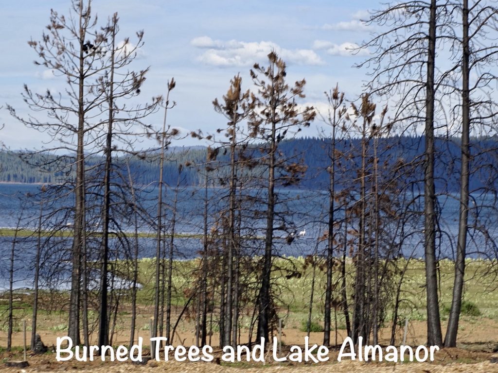
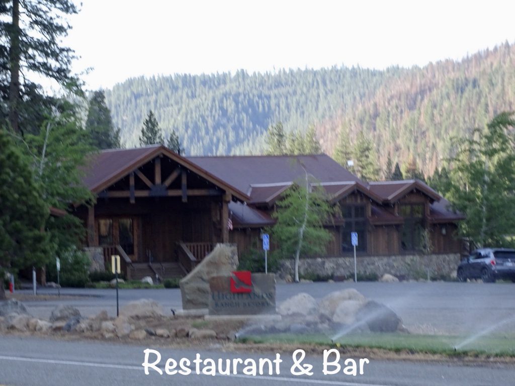
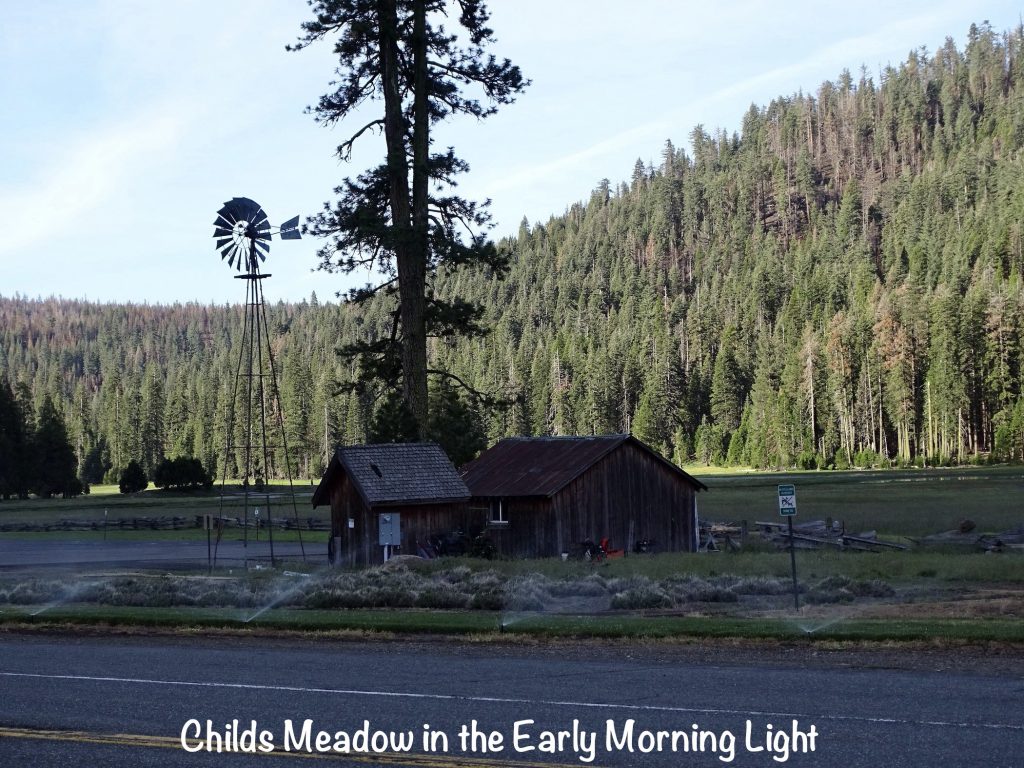
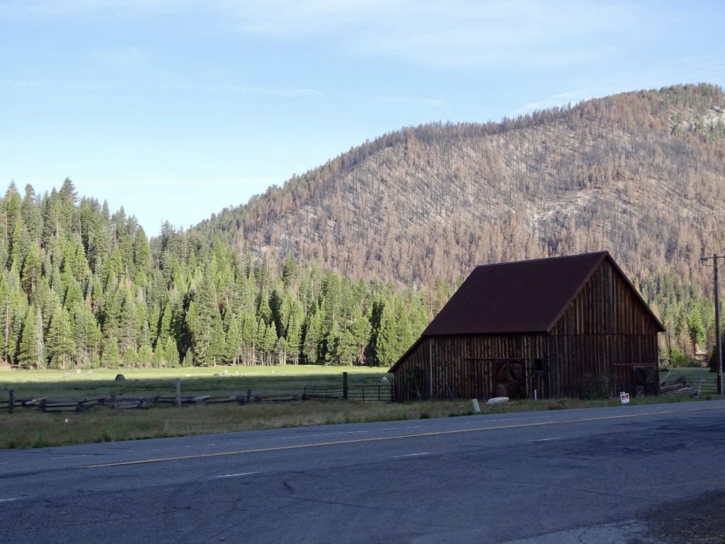
Tuesday, May 31, was a spectacular day for a drive. We started out at temps in the 60s, then crept up to the 70s, but dropped back down by the time we arrived at our destination. The next few days are going to be around 70 in the daytime and the high 40s at night. Sweet!! We headed north out of Oroville on CA-70, which becomes a scenic drive a few miles outside of town that continues all the way to our destination. The drive was through a deep canyon following the North Feather River most of the way. In Jarro Gap, California, we stopped for lunch at Toni’s Mix’n It Up for a burger lunch. We ended up talking to a couple of locals and learning about the Camp Fire in 2018 that burned a lot of them out. One guy was cool, and proved that you just can’t judge a book by its cover. He came limping into the place in sweat pants and work boots, sporting dreadlocks, a beard, and a worn work hat. Honestly, when he opened his mouth, I expected the stoner surfer dude. What we got was a very interesting conversation about water and soil issues in California. He educated us on causes of soil degradation (missing enzymes, fungus, and biomes) that began as far back as the time of the beaver trappers. (The beaver dams helped secure the snow pack, which in turn kept the minerals from washing away.) He was really amazing, and also…an illegal pot farmer. After a thoroughly enlightening conversation that altered our perception about issues we’d first heard of in the San Joaquin Valley, we continued our trek north, eventually turning onto CA-89. We stopped for gas in Greenville (the one town name that is used in every state), where a lot of the town’s buildings were destroyed in the Dixie Fire last year. In fact, quite a bit of the forest on our drive was burned out. We finally arrived in Mill Creek at the Village at Childs Meadow. Bonus, there is a restaurant with a nice bar right across the street. After getting Petunia set up, we bellied up. Jordan, the bartender took good care of us, and they had a spinach mushroom pasta that was just awesome.
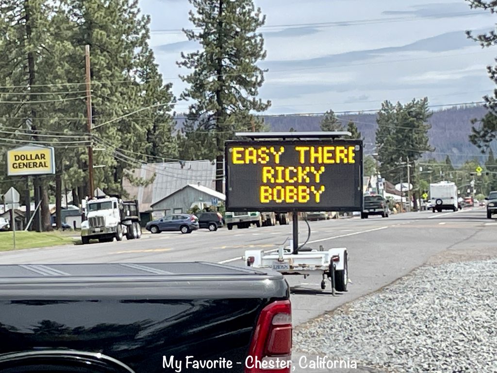
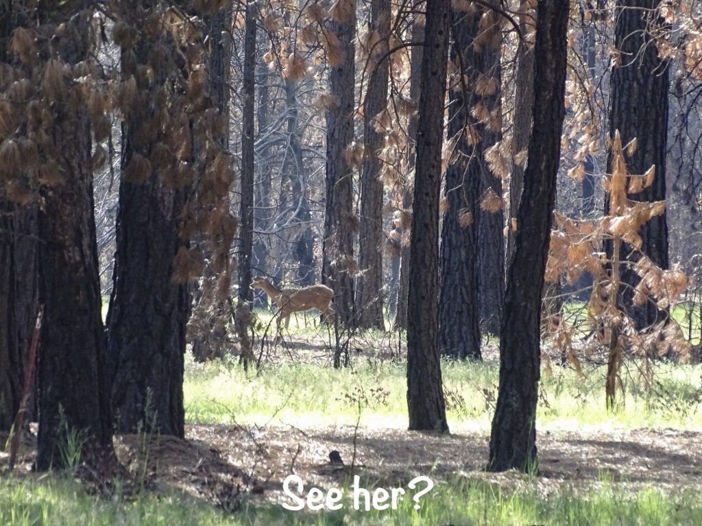
SOME RECENT FUNNIES: 1) Near Chester, California, a sign said “Major Deer Area Next 4 Miles”. How do you get promoted to Major in the deer population? 2) On a LONG down hill grade coming off of a mountain, a sign said “Yield to Uphill Traffic”. The uphill side had two lanes. Our side had one and no big shoulder. How does one yield when there isn’t anywhere to go? Why do we need to yield to those who have twice the road we do? Are people flying up that mountain so fast that they are losing control willy nilly? 3) Sign entering Crescent Mills, California, said “Health and Safety Dangers Still Exist. Enter At Own Risk”. WTHell? There was an official sheriff’s insignia on the sign, too. What kind of danger are we talking about? I feel more specifics are required here. Shouldn’t they warn you before you are passing the sign right in town at 50 mph? Can you catch whatever it is when you are just driving through at speed. 4) There is actually a place called “Historic Jack Ass Flats” in California. That is where the jackasses of magnificent proportions live. 5) North of Fresno, California, we passed a sign that said “Wide Open Spaces Courtesy of Your Local Cattleman”. Why, thank you! Thank you very much!! 6) On the beverage menu at a restaurant…Coke a Cola.

RV ISSUE SIDE NOTE: For the past couple of weeks, we’ve been getting a loud, painful noise in the landing gear as I raise the leg, which has to happen at least twice every time we stop. Originally we thought it just needed a little grease, and Mr. Wonderful (MW) did some research and took care of that. No change. Now we are going to have to delve deeper into the problem. MW has ordered some parts for what we think is the issue. Honestly, sometimes with these things, you just throw ideas at it until something sticks. Stay tuned.
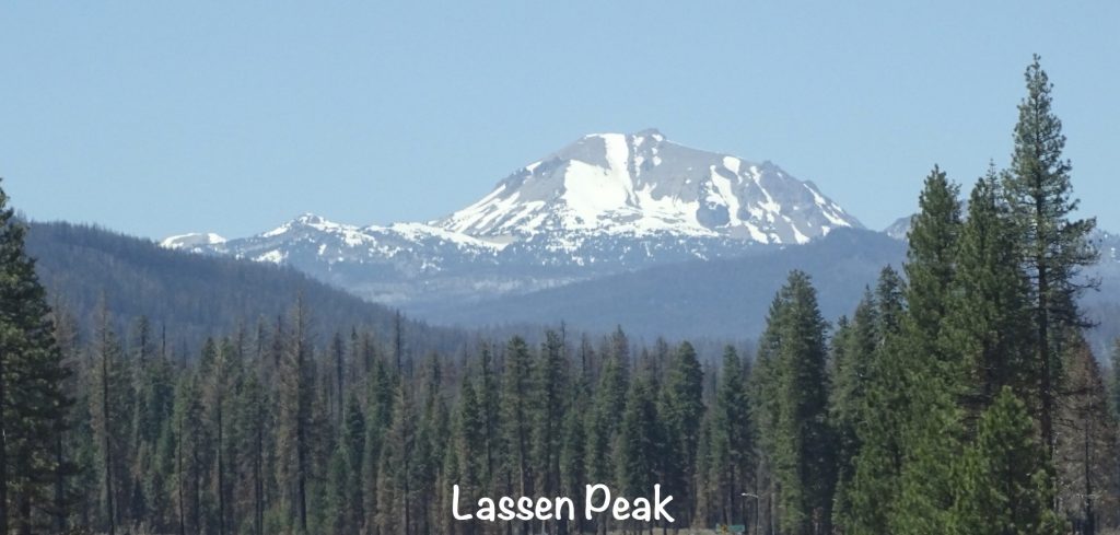
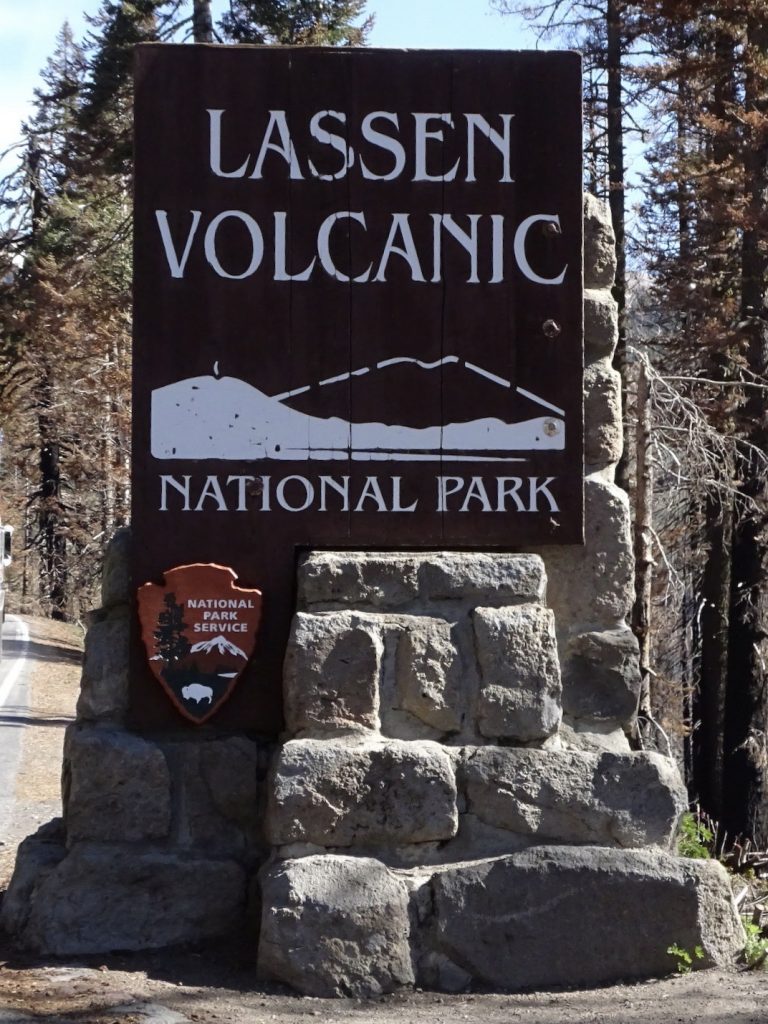
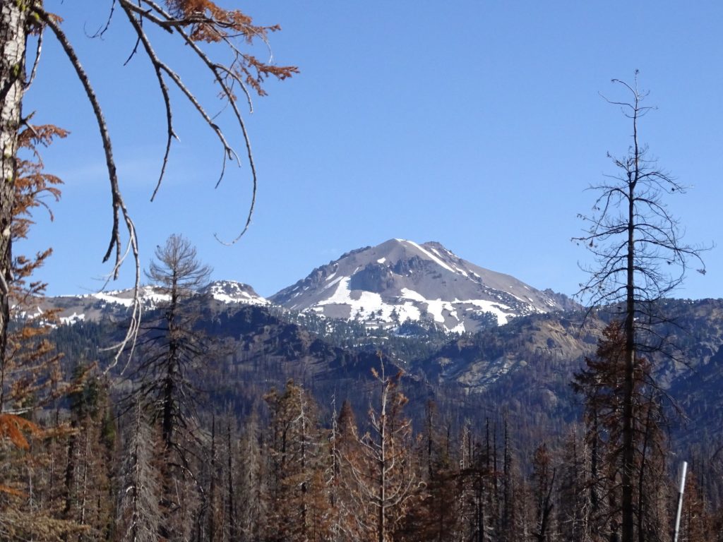
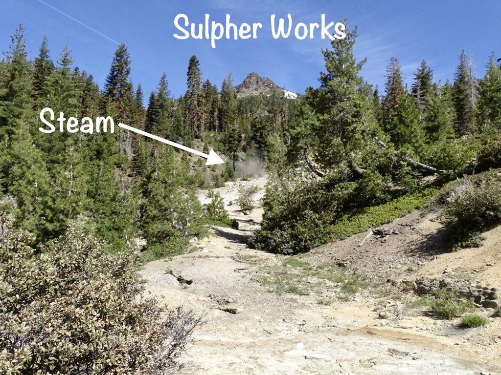
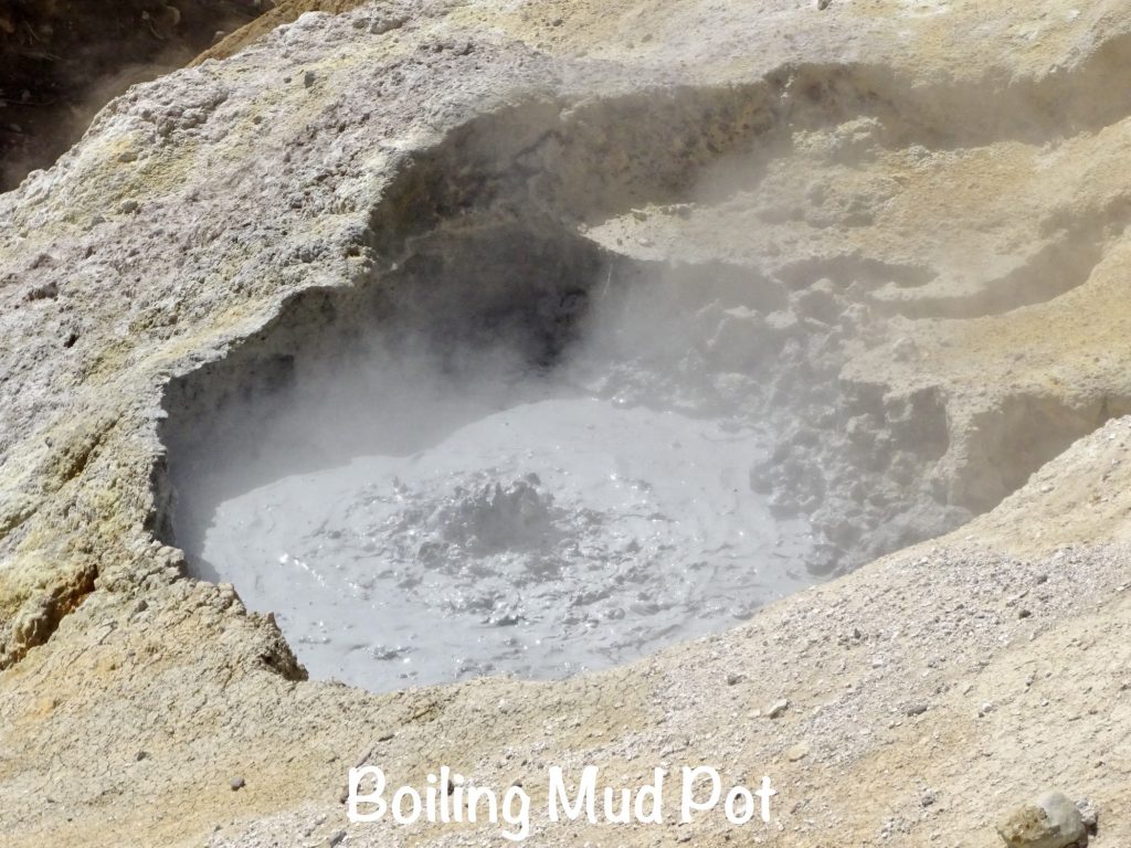
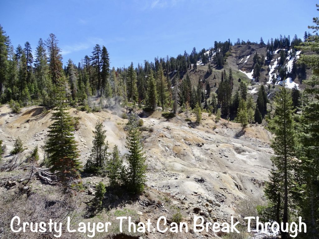
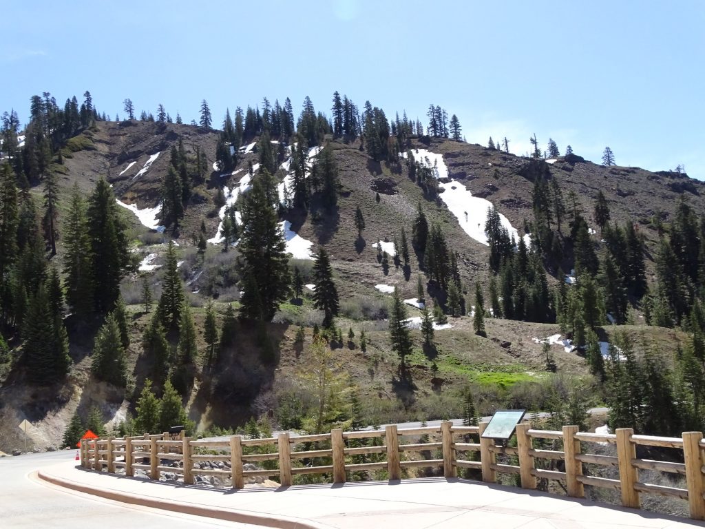
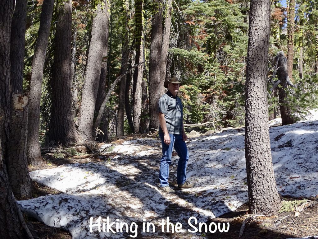
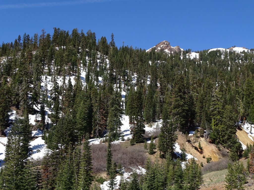
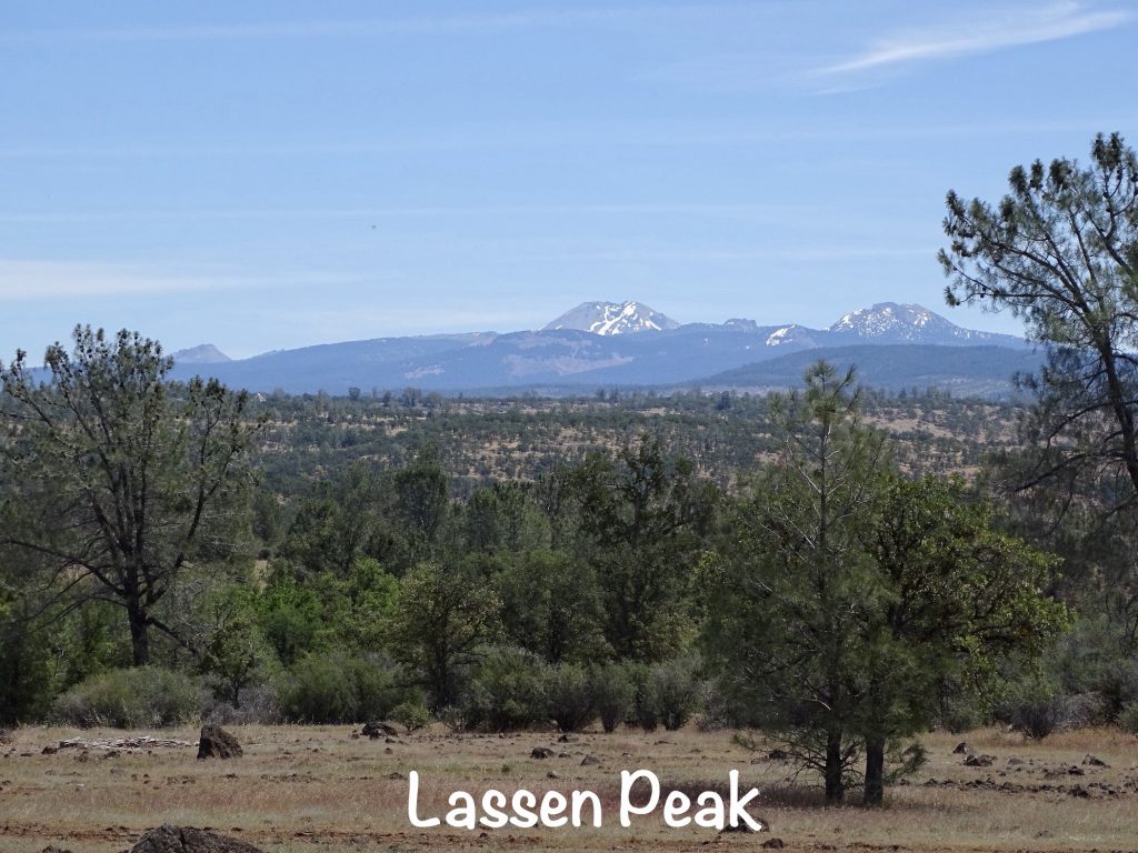
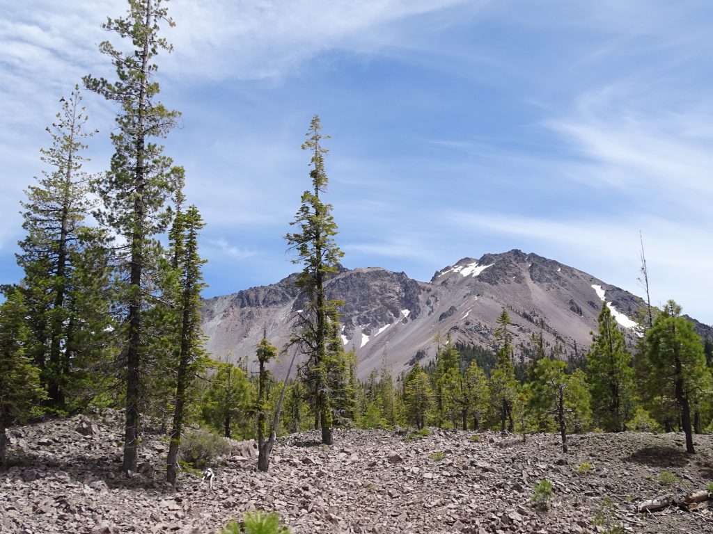
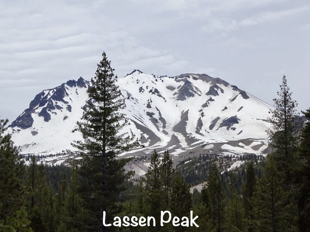
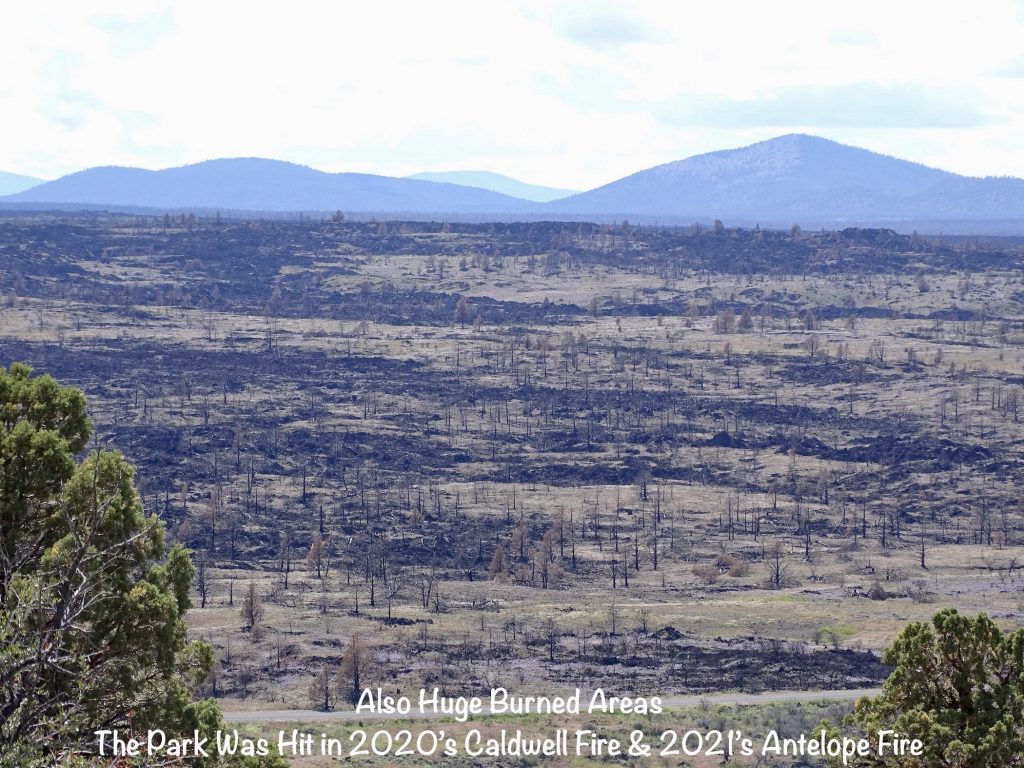
Wednesday started slow for me with a migraine, but through the miracle of modern medicine, it faded. We headed out about 8:45 AM to check off another park…Lassen Volcanic National Park. Starting at the Kohm Yah-mah-nee (means Snow Mountain) Visitor Center, we watched the movie and checked out the exhibits. The terrain of this spectacular park is the result of eruptions from four different types of volcanoes. Today the thickly forested areas bear the scars of the Dixie Fire, which burned for about 3-1/2 months and around 68% of the park. On this beautiful June 1, though, most of the drive through the park was closed because of SNOW! Yes, you read that right. From the south end we could only drive a mile or so to the Sulpher Works, where we parked and hiked up the mountain. Whew! A half mile UP is TOUGH at 7,000 feet! (I was pretty proud, though, because this high altitude hike went better than the one last week for my lungs. Guess my walking program is working.) MW and I were both surprised to find boiling, steaming mud pots and sulphur ponds like the ones at Yellowstone. They smelled just as bad, too. Interestingly, in 1865 a man named Mathias Supan started extracting sulphur from this spot that he then named. He developed a variety of “mine medicine” products, which he sold out of a drugstore in Red Bluff.
Next we headed back to the south entrance, and near the visitor’s center, had this exchange. MW: “Could you look on the map and see what trails are at the other entrance that we can hike.” Me: “Okay.” MW: “Bear!” Me: Throwing map in the air and grabbing the camera…”Dang it! I don’t think I got him!” MW: “You’ve gotta pay attention!” Me: “How the heck am I supposed to be paying attention to the road AND looking up the danged trails for you??!! That right there almost deserves a backhand!” (Just kidding! I wouldn’t really hit him. Probably.) In any case, although I didn’t get a pic, I did see the little fellow. He seemed fairly small, although we didn’t see a mama around. He was a pretty, caramel-colored black bear. (I know it’s confusing, but black bears come in a multitude of non-black colors.) Next we headed out of the park and circled west (CA-89 to CA-36 west to Lanes Valley Road, to CA-44 east) up to the Manzanita Lake entrance. From that end we were able to drive in about 11 miles to the Devastated Area. There we walked the road down to Hat Lake and back. I ran into a lady on the road riding an e-bike who gave me the scoop on her brand. (I really want to get one to have on the road.) When we finally headed back, we took the road to the east of the park (CA-44 east to A-21 south to CA-36 west through Chester) and then west to the campground. We were pretty exhausted, but had really enjoyed the scenery.
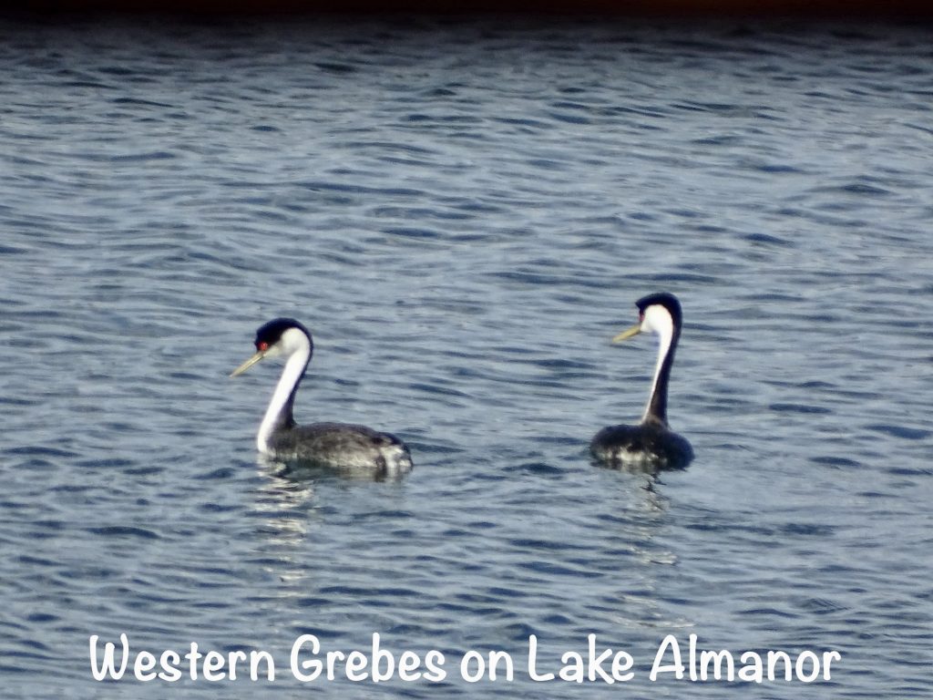
Thursday was mostly a work day. I had a lot of bookkeeping to catch up on, so I spent quite a bit of time with that. Later in the afternoon we headed over to the Plumas Pines Resort in Canyon Dam. Sitting on beautiful Lake Almoner, this is clearly a busy area in the summer, with a variety of lodging and activity options. We stopped in at the Plumas Pines Bar & Grill for dinner. The view is great out across the lake, and on nice days, they have a large deck to enjoy. The food was really good…MW’s was the Wild Mushroom Ravioli, and mine the Shrimp Pasta. I particularly appreciated that the chef removed the tail part of the shells. (What is it about leaving that on, then mixing the shrimp into a creamy dish? I just don’t get it.) After dinner we headed over to Chester to pick up some groceries and fill up. Then it was back to Petunia, doing a bit of writing, and relaxing.

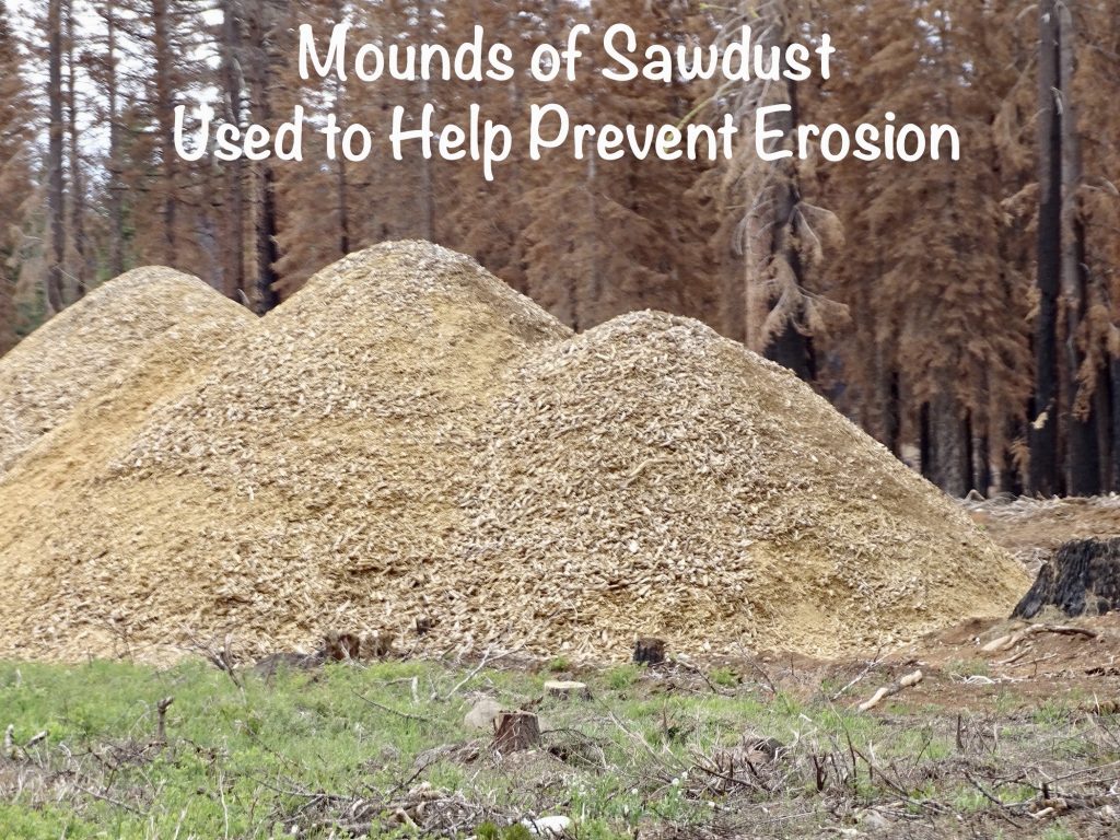
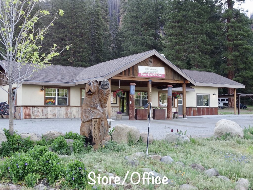
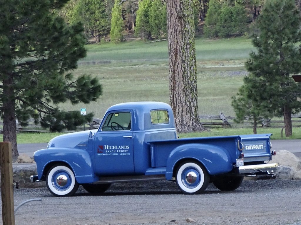
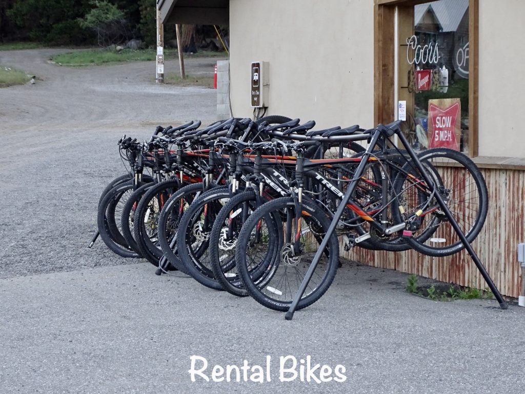
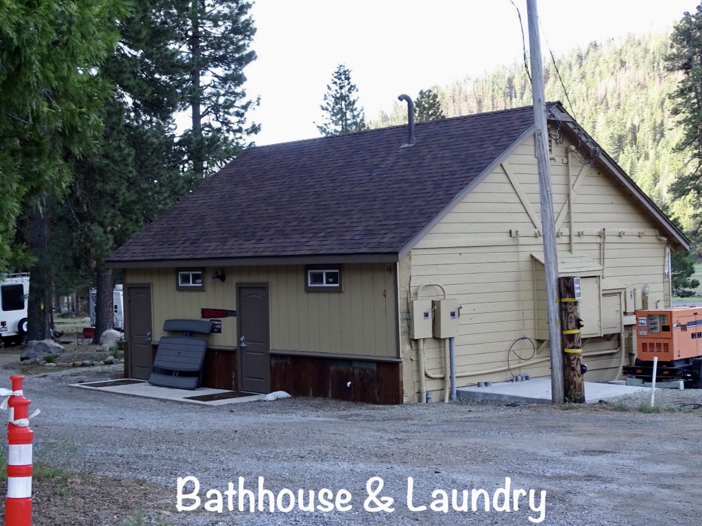
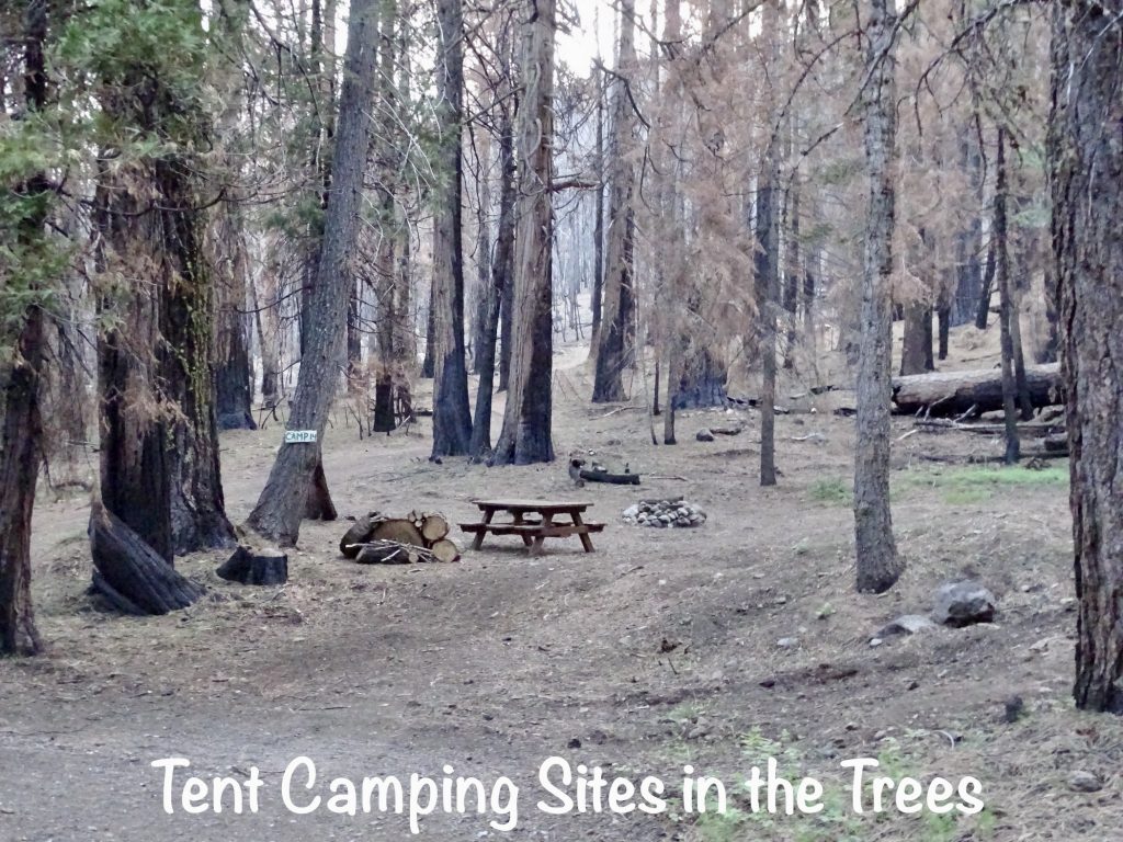
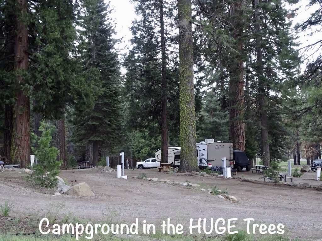
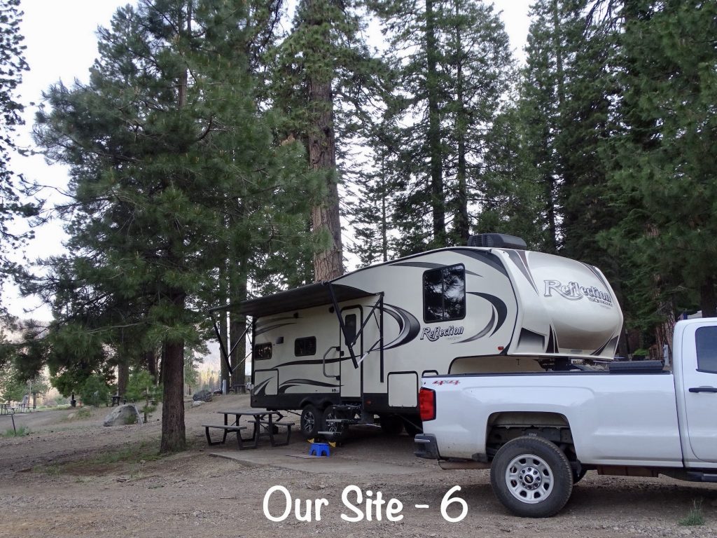
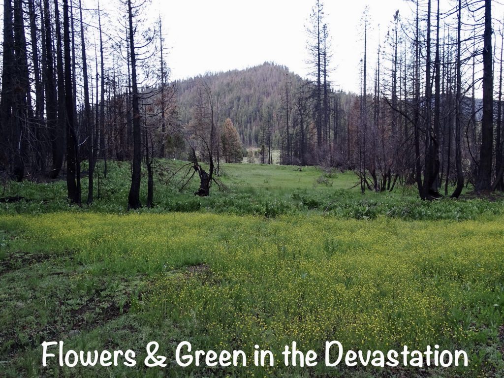
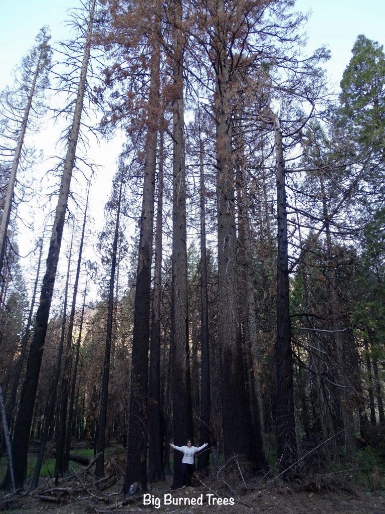
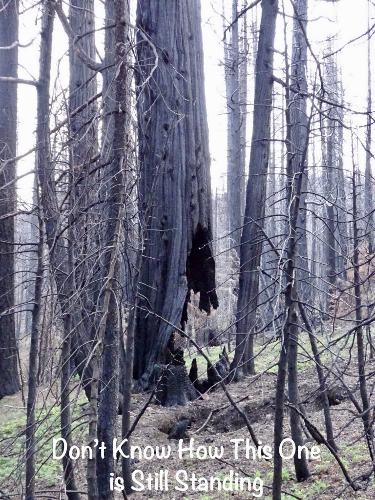
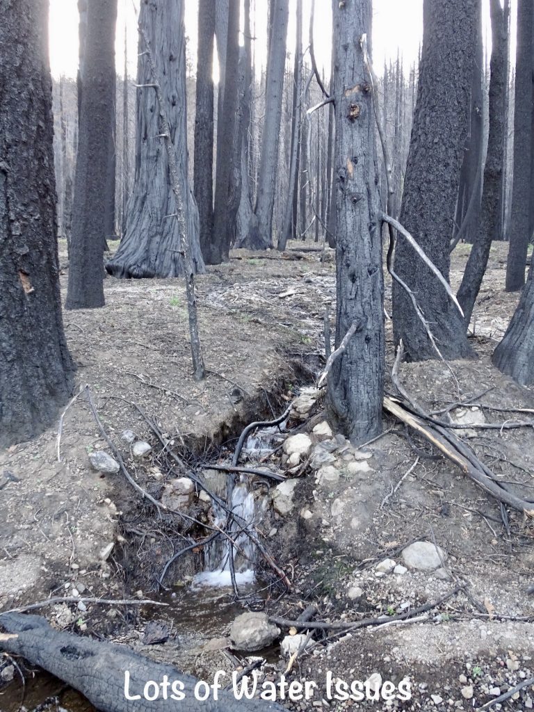
The Village at Highlands Ranch is a resort in a beautiful valley on CA-36 between Mineral and Chester. The meadow has horseback riding and biking opportunities. Amenities include a store, bike rentals, laundry, and group fire ring. There are hiking trails nearby, including the Pacific Crest Trail, and a good restaurant and bar across the street. A small cafe in the store building is almost completed and should open soon. Lodging options include a motel and the campground. There are eight tent sites with water nearby, and twenty-two full-hookup RV sites. All had picnic tables and fire rings. It was a mostly peaceful place, but the traffic noise from the road was amplified at night in the narrow valley. During our visit, they were still working on fire cleanup. Much of the woods surrounding the campground had burned, and they lost their picnic area completely. There were also water runoff issues, but it was dry when we were there. It was pretty expensive, though. For this stay in June 2022, we paid $199.89 for 3 nights.

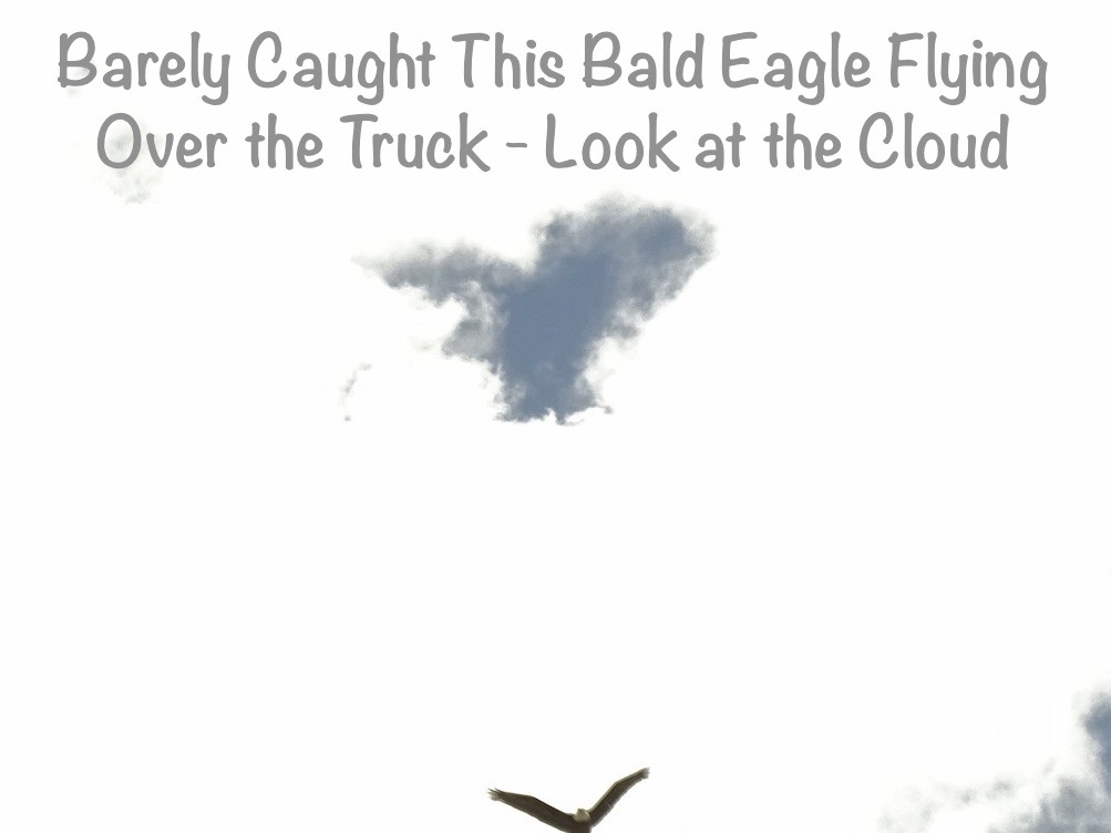
Friday morning was a b*tch. There is just no other way to put it. It started great, with a very nice, hour-long walk in the woods. On the way out and back from the campground, we passed near the nest of some kind of large bird that raised all kinds of heck because we were there. I found out later that they are a nesting pair of Sandhill Cranes. Two pairs return to the valley every spring. I couldn’t get a good pic of them through the trees, so you’ll just have to look at the link. They stand about 4′ tall! Oh, and we found a really large pile of black bear scat.

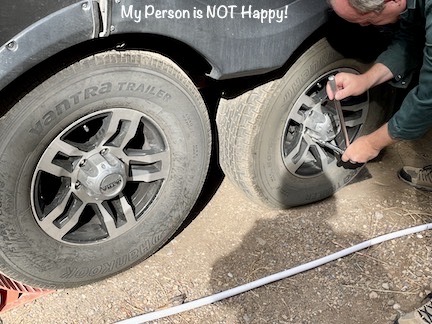
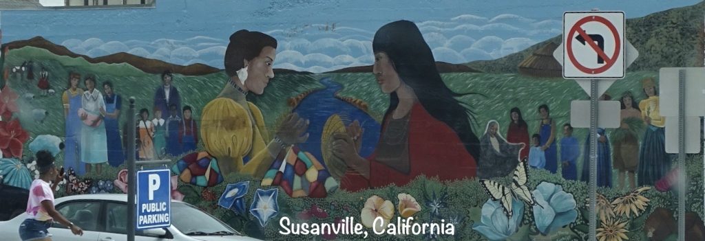
After the walk, we came back and got cleaned up to hit the road. When we started our normal pack-it-in routine, we found the rear, driver’s side tire on Petunia was flat. That’s ONE! Bummer, but we are prepared. MW donned his coveralls, and we got the spare out and the bad tire off. It was a nail in the edge of the tread. The spare was about 10 lbs low, so MW whipped out his portable tire inflator. It sounded good at first, but kept shutting off, like there might be a loose wire at the switch or something. That’s TWO!! I walked the trash down to the front and asked the maintenance guy if he had a compressor. He did and was very nice. A few minutes later, he picked up the tire, and ran it over to his shop to inflate. While he was gone, we decided to get the truck hooked up. As I backed the truck into place, MW hit the button to raise the front end of Petunia a little…it was slow with a very labored motor sound, unlike what we’d heard before. (The parts I told you about earlier were arriving at our next campground that afternoon.) Then we couldn’t get it to move at all. That’s THREE!!! What now? Both landing gear were stuck down with no weight on Brutus yet and nothing moving. The landing gear run when a motor on the driver’s side turns gears to run threaded rods up and down. We had suspected our previous noise problem involved something going bad in the passenger side leg, which was confirmed when MW removed the crossbar that connects the two. The system ran the driver’s side leg fine. Okay, that’s progress. Next, we had to get the bad leg loose enough to try to manually raise it, so MW got the bottle jack. After a bunch of finagling because of the placement of our stabilizer bars, he was able to position the jack just behind the bad leg and take the weight off. More progress. Now we just had to transfer the weight to the hitch. As I lowered the good leg, MW lowered the jack. It took a second try, to get enough play room on the jack, but we finally had her on the hitch. Whew! The final problem was that the broken leg would not come up. I was able to put the extension portion up, but the main shaft would not retract. I’ve seen fifth wheels with leveling gear that naturally hang closer to the ground like that, though, so we decided to go with it. It was time to hit the bricks! We finished up the pack-it-in chores and rolled out. I don’t think I’ve ever been more tired at the BEGINNING of a drive. We headed east on CA-36 over to Chester, where we stopped at Subway to grab a quick bite. Then we continued east to Susanville, which would be the only chance for fuel for a while. The driveway into the station was tight, and Petunia’s right tires caught the corner of the curb. Oh heck! While he was pumping, I checked them out, and everything was okay. As we pulled out, however, he could tell something was wrong. That’s FOUR!!!! (I thought this mess always came in threes!!) We pulled into the nearest parking lot to figure it out. Tires…check. Brakes…hmmmm, this doesn’t look right. As soon as he said that, I thought about that little cable that runs up beside the hitch. Bingo! Apparently it got caught under the edge of the tire that we have to get fixed, and the emergency trailer brake was engaged. At least it was an easy fix and had not been that way long. By then we were pushing up against a deadline. The parts MW ordered to fix this landing gear mess were due to be delivered to our next stop, but the office closed at 4 PM. With all of the above, plus getting stopped in a rather long construction zone line, we were possibly not going to make it. That would mean not being able to unhitch Petunia all weekend. I called to come up with a backup plan, then checked on the package. It said it had been delivered at 2:40 in Yreka, California. WHAT??!! We ended up arriving in Tulelake, California, with time to spare, AND the parts were there. I was thanking God! We really didn’t need any more stress! We had to leave Petunia attached to Brutus for the night, so thankfully, it was level enough to sleep in. Once plugged in and hooked to water, we kicked back for the rest of the night.
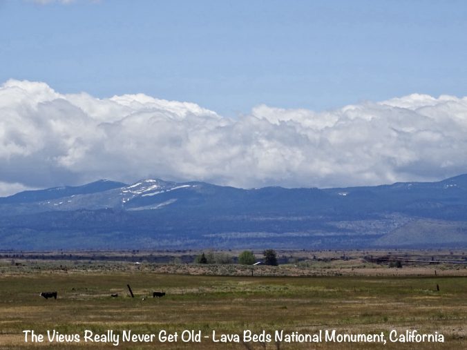
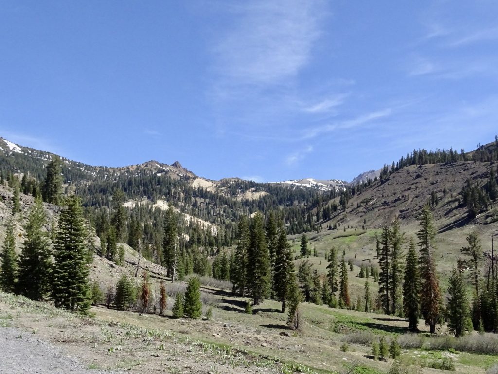
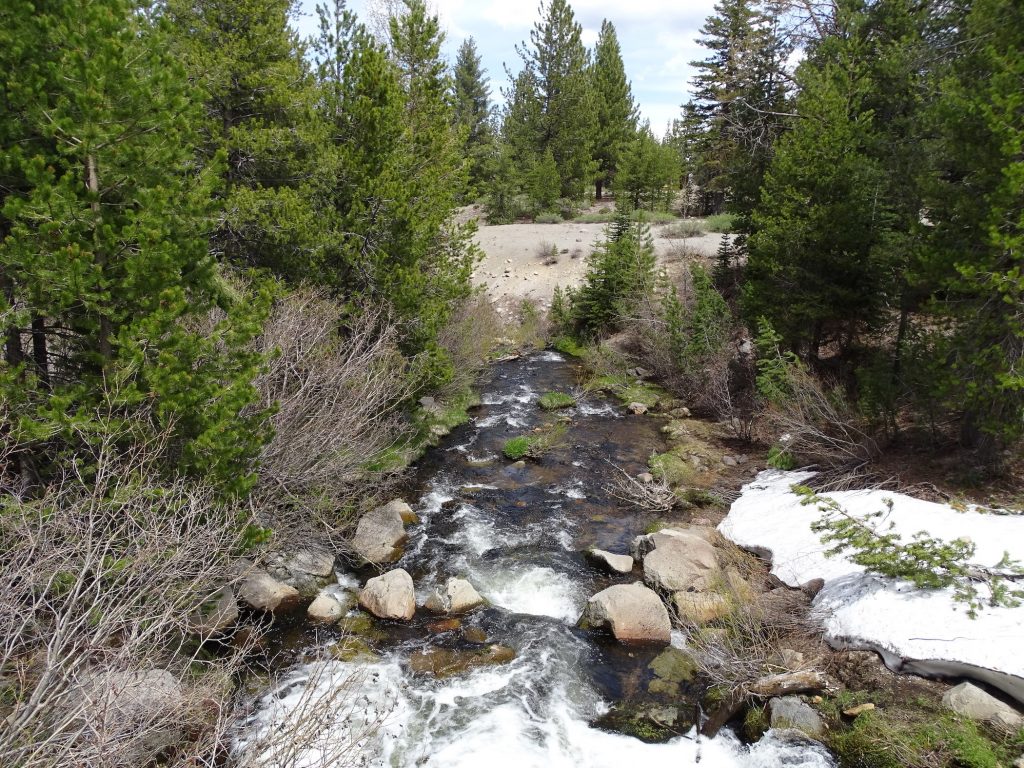
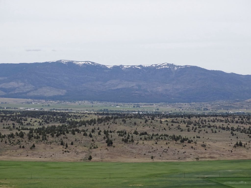
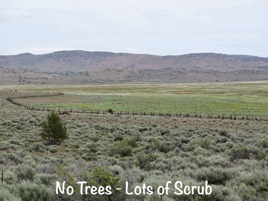
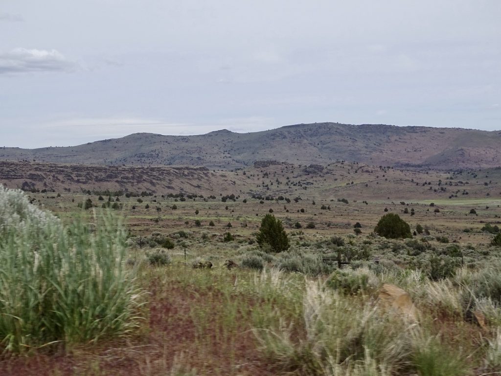
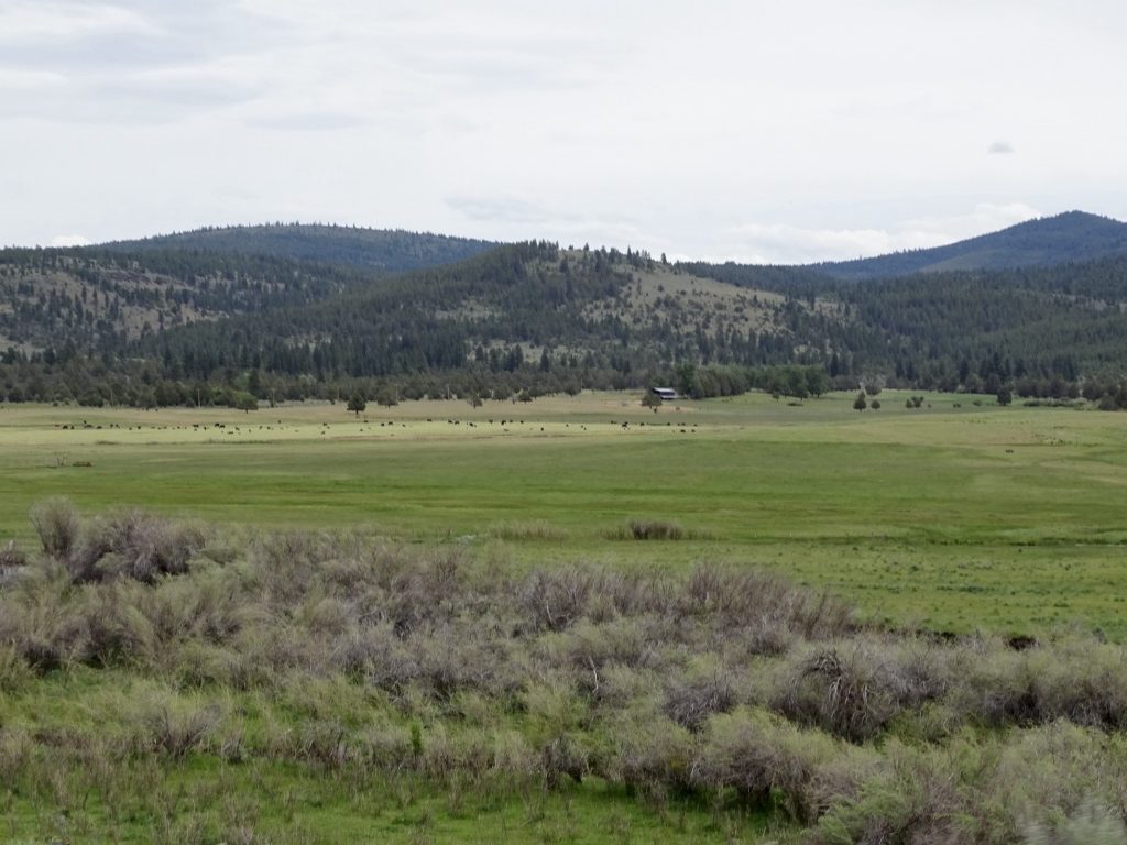
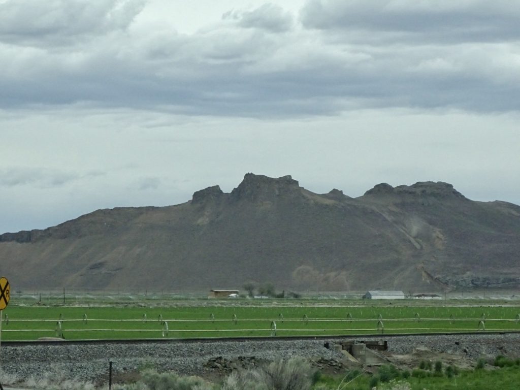
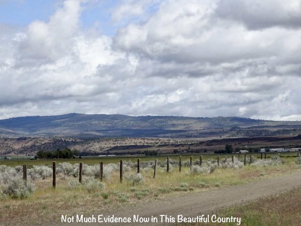
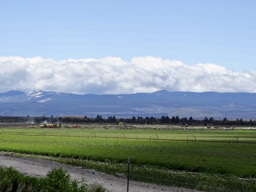
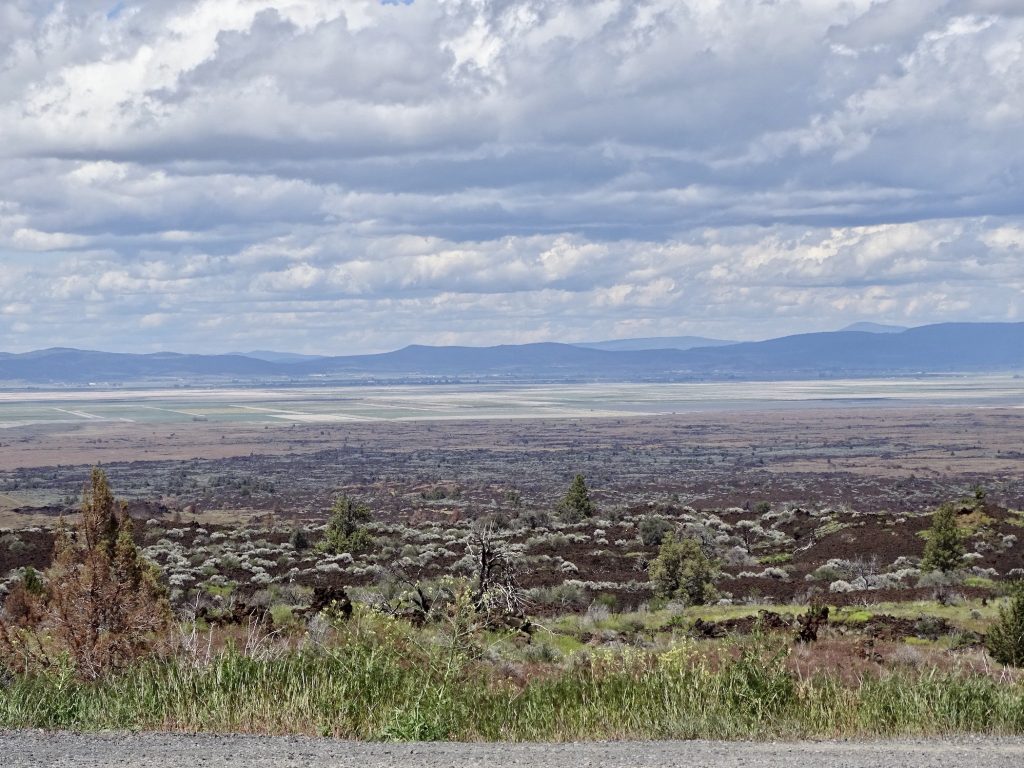
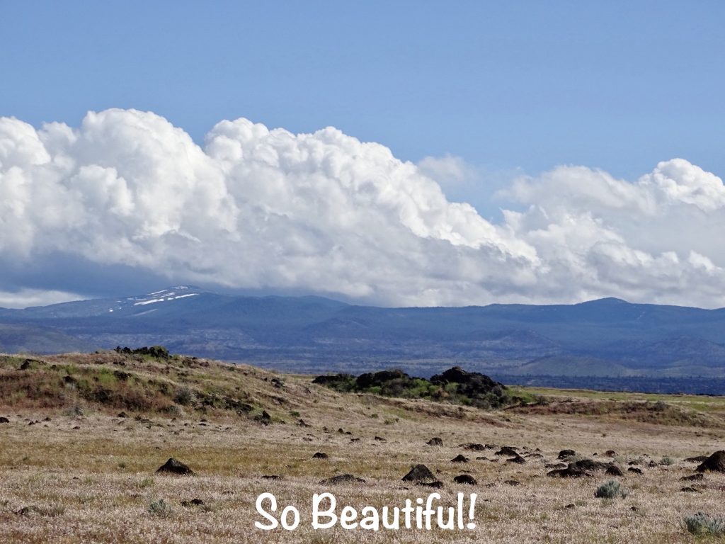
In the middle of all of the stress, I forgot to say that the drive was very beautiful. We started in majestic pine forests with snow-capped mountains in the distance, then passed through mountains with much shorter trees and almost desert-looking scrub. Next were green valleys of cattle ranches, and finally the agricultural area around Tulelake. When we were almost at our destination, I decided it was time to review the good things that happened today. I know, it irritates MW sometimes, too. 1) It was a very pleasant, sunny morning instead of 1,000 degrees and/or raining. 2) Our spare tire was still exactly where it was supposed to be, instead of missing in action as it was in the past. 3) There was a compressor at the campground. 4) Because of the flat, we met the maintenance guy. He told us about staying in the valley during the fire. The campground was a staging area for fire fighters, and at one point the entire valley was surrounded! What a cool story he has to tell, but that had to have been scary. 5) The tire inflator is still under warranty. 6) Working together the two of us can solve almost anything. 7) We figured out the brake issue before it was a big problem. 8) The parts we needed were delivered to the right town. 9) We made it before closing time. 10) Our site was such that sleeping hooked to Brutus did not tilt us on our head. So, as irritating as the day was, it could have been so much worse.
Saturday our first priority was fixing the landing gear problem so that we could unhook Brutus. (We certainly didn’t want to have to drag Petunia everywhere. There were things to see!) It was not a small task. Had it frozen up retracted, it would have just come right out, but it was extended. After we unloaded the front compartment, MW crawled in and basically man-handled it until it came out. Putting in the new one was a lot easier, and finally Petunia was standing on her own feet again. After getting cleaned up, it was time to get the flat tire looked at. The nail was right at the edge of the tread, so we weren’t sure it could be repaired. We headed up to Les Schwab Tire Center in Merrill, Oregon, expecting a long wait on a Saturday morning. Pulling into the parking lot, we hadn’t even made it out of the truck before Ricardo Sanchez was heading out of the garage area to help us. He took the tire, and 10 minutes later, we were all set. He wouldn’t even take any payment…just said to think of Les Schwab when we needed tires again. We’re both hoping that we can take him up on that sometime. For lunch we popped into Pappy Gander & Company, also in Merrill. It’s a little diner, and on the day we visited, was solely manned by a disgruntled little man. He was waiter, cook, and everything else, because someone hadn’t shown up. Poor thing. He fixed a mean hamburger, though, and MW’s patty melt was also good. While waiting for the food, MW walked across the street to the True Value Merrill Lumber Company to pick up some foam sealant to put the finishing touches on the leg repair. Finally we headed back to the campground where I took care of some bookkeeping work in the afternoon.
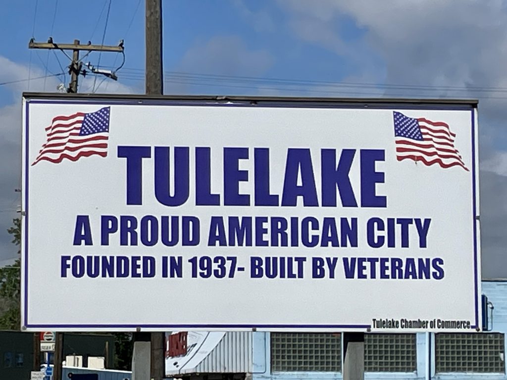
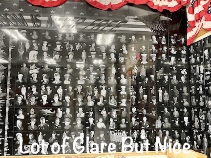
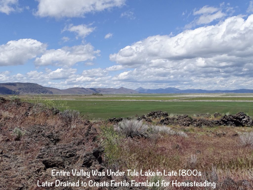
Sunday we tried to stream church, but it wasn’t cooperating. At 10:00 AM, we headed over to the fairgrounds office to meet Danny Ortiz, the Park Ranger for a tour. While waiting for others, we checked out the museum at the fairgrounds office. Tulelake got its name because it was a lake. Really. Between 1908 and 1930, the waters were drained and diked. There were several different lottery drawings specifically for veterans, with names being drawn from a pickle jar. The lucky winners were given one of the newly-created, 80-acre plots of once lake bottom to homestead. The town was built to service that community of veterans, so they are proud to let you know that it was “built by veterans”. The museum is nice and recognizes a wide range of local history. One of the things I really like is their veterans wall. It not only had the names, but had their photos etched into the black stone. Really nice!

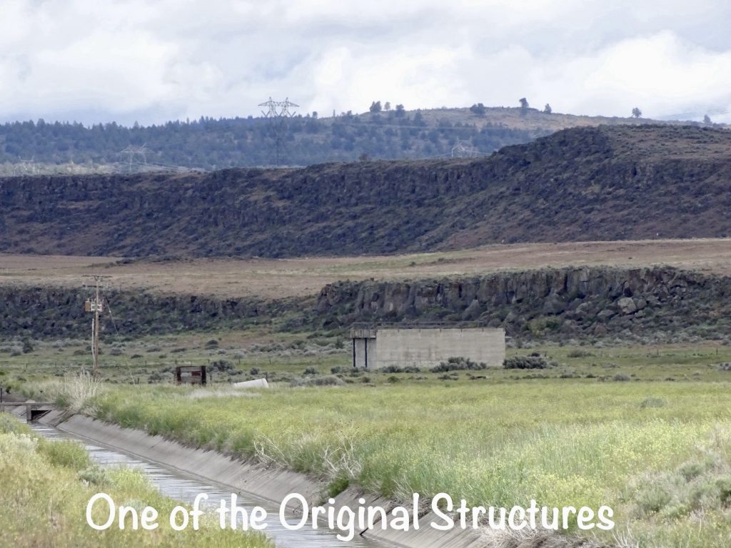
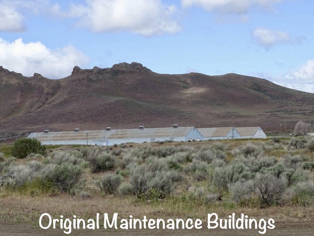
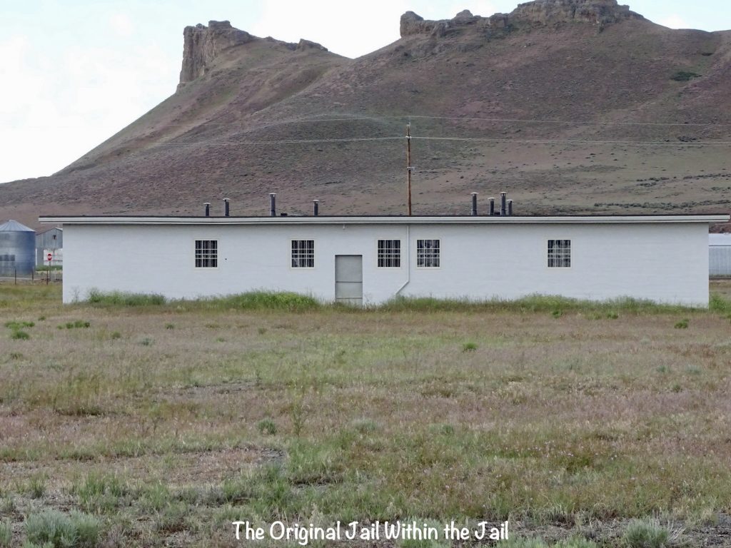
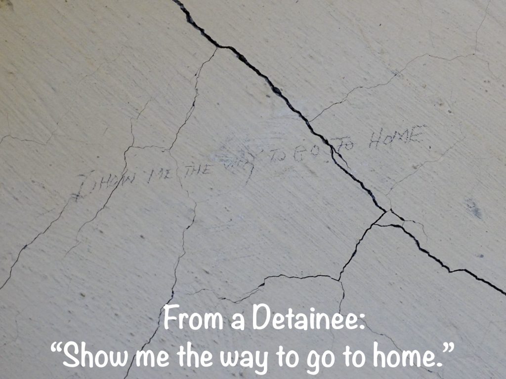
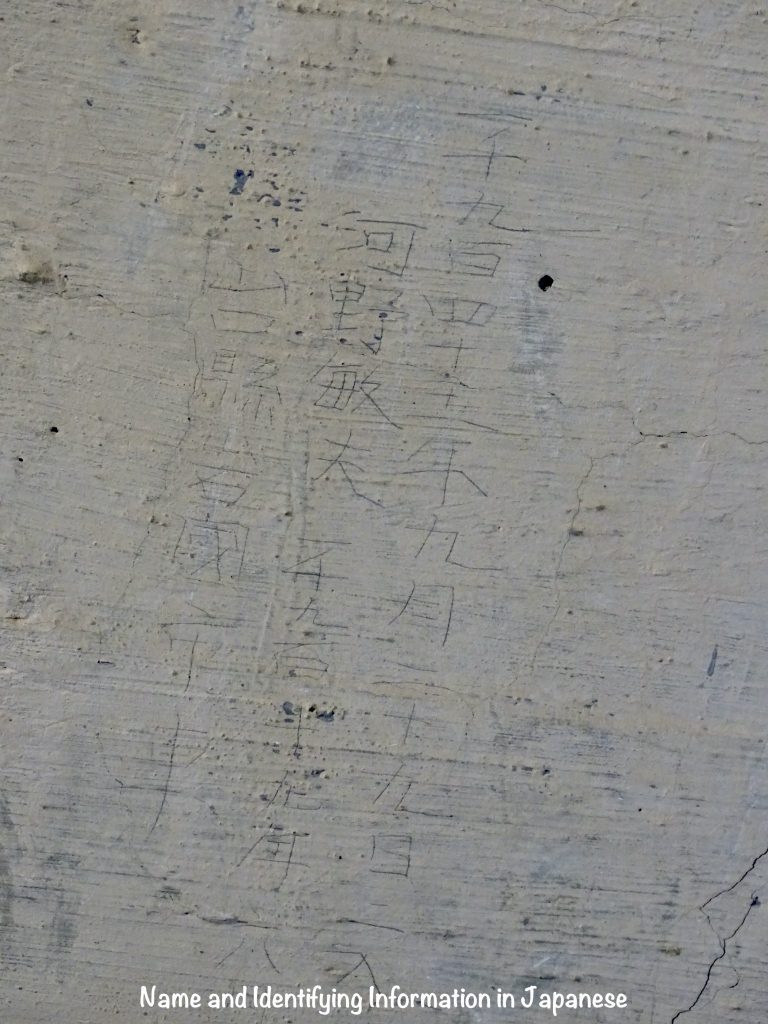
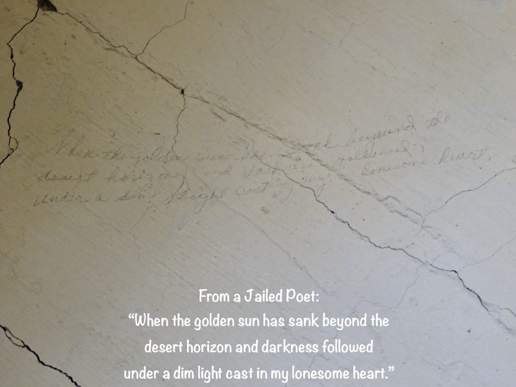
After the Japanese bombed Pearl Harbor, American’s were angry…at Japan…at the Japanese soldiers…at Japanese civilians…at anyone of Japanese descent. Much of that anger was justified. In fact, even those of us not alive in 1941 feel it when we go to Pearl Harbor or read stories of that terrible day. But, for the most part, the ire against immigrants and American citizens of Japanese descent was unjustified and downright ugly. In February 1942, President Roosevelt signed Executive Order 9066, one of the most onerous of rules. While the language was flowery, it basically gave the Secretary of War the power to proclaim that groups of people were not allowed to stay in certain areas of the country, which led to the military proclaiming nearly all of the Pacific coast as evacuation zones for Japanese descendants. Folks in California petitioned to have the entire state added for reasons we will discuss later. Those displaced were to be taken care of…transportation, food, shelter, etc…by the government. How did they do that? Giant relocation centers, but many were initially housed in makeshift camps at fairgrounds and racetracks for months while facilities were being built. Food shortages and appallingly unsanitary conditions were common. We’ve all seen movies or shows depicting the Japanese camps in our country, but most Americans have no idea of the scale. More than 110,000 men, women, and children of Japanese ancestry were affected. The original plan was to bring them to segregation centers, assess whether or not they presented a threat to the United States, and then release them into inland states. However, no one asked the inland states about this idea, and they wanted to know why someone who was a threat in California was okay in Kansas. Valid question. So the powers that be came up with a way to assess the threat. The displaced had to answer a pages-long questionnaire, but the government focused mainly on two questions: 1) “Are you willing to serve in the armed forces of the United States on combat duty, wherever ordered?” (There was an alternate question about volunteering for the Army Nurse Corps or WAAC for use where appropriate.) 2) “Will you swear unqualified allegiance to the United States of America and faithfully defend the Unites States from any or all attacks by foreign or domestic forces, and foreswear any form of allegiance or obedience to the Japanese emperor, or any other foreign government, power or organization?” If you answered with anything other than “yes” “yes” with no qualifiers to the above, you were a threat. So the foreign-born Japanese who had no loyalty to Japan and been here for years, but were not allowed U. S. citizenship (until 1952) and didn’t want to be people without a country, were threats. (The adult children of those immigrants were United States citizens, but were still held in the camps.) The 90-year old who was in no shape to answer “yes” to #1 was a threat. The skeptic who thought that #2 was a trap, the person who just didn’t understand the questions, or the one who added “if you will release my family”, were all threats. They were all labeled “disloyal”. Tule Lake had the highest percentage, so in an effort to separate the “good” from the “bad”, the other camps sent their “disloyals” to Northern California. Those at Tule Lake not considered a threat were asked to move to other camps, but wanting to stay near their homes, 4,000 remained. The mix of “locals” and “disloyals” led to internal conflicts and prejudice at the center. For the most part, “loyals” were not released, because they still weren’t allowing them to go home, and other states wouldn’t accept them. The scale of the detention was enormous…ten relocation centers covering almost 200,000 acres with peak populations that were astounding…Rohwer, AR (8,475); Jerome, AR (8,497); Heart Mountain, WY (10,767); Granada, CO (7,318); Gila River, AZ (13,348); Poston, AZ (17,814; Topaz, UT (8,130); Minidoka, ID (9,397); Manzanar, CA (10,046); and Tule Lake, CA (18,785). (There were also 27 Department of Justice camps holding 7,000 people guarded by Border Patrol, and 14 Army facilities that held Japanese citizens during the war.) Conditions in all of the segregation centers were harsh, but the residents did their best to have normal lives, working, educating the young, holding harvest festivals, dances, baseball games, and religious services. Our tour was of the remnants of the Tule Lake Segregation Center. There are only 6 buildings still standing in their original locations…two pump houses, three storage/maintenance buildings, and the jail. Yes, they basically had a jail within a jail. The only building on the Tule Lake National Monument property is the jail, which you can see on a guided tour. This sad part of our history was finally ended when Tule Lake became the last center to close on March 18, 1946. Beyond the description of “some”, I couldn’t find information on how many Japanese descendants living in the United States were helping the Emperor’s efforts, but how many would it have to be to justify disrupting the lives of and stealing the property of 110,000 hard-working, legal immigrants? It is known that “some” Caucasian Americans also worked for Japan’s interests. Hmmmm.
THE WORST PART: The Japanese population in America came here to work hard for the American Dream. They were excellent farmers and businessmen, and prospered. When they were “asked” to leave their homes, they lost all means of income, and the banks froze all of their accounts. However, they were still required to pay mortgage and loan payments. The result was foreclosure on the vast majority of Japanese-owned property, which particularly made the farmers in California happy. They had struggled for years with drought issues, but the Japanese farmers, using techniques learned in their homeland, adapted and had prosperous land. After all their hard work, those farms were sold by the banks for pennies on the dollar. When they were released after the war, most of the Japanese immigrants had absolutely nothing left.
SADLY INTERESTING NOTE: A German POW camp was just over the hill. Due to a shortage of local workers because of the war, its occupants were allowed to leave camp to work on local farms, often enjoying dinners with those families, gifts of pie or cake, etc., in return for their hard work. In the beginning at Tule Lake, the residents were allowed a certain amount of freedom, although it was in the middle of nowhere, and they had no transportation. In 1943, when it became the “disloyal” camp, fences with barbed wire and guard towers went up, the Army came in to supervise. Japanese residents, loyal or not, were officially incarcerated. How is it that we let a German prisoner of war run around the countryside, but kept U. S. residents, most of whom were citizens, locked up like murderers?
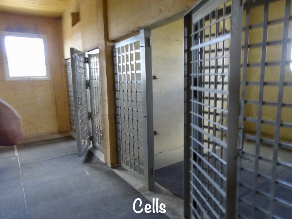
ANOTHER INTERESTING NOTE: After the camp was closed, the government auctioned off the buildings, cutting the barracks in half. Many of them can be seen on the farms around that area, easily identified by the 9-pane windows. Later, they auctioned off the contents of the jail…doors, windows, sinks, toilets, etc. A local woman sent her husband down to buy up everything he could get his hands on. He did, and they stored it in their basement. She told him that, one day people would realize what happened here, and the stuff would become important. When the restoration of the jail building began, her heirs contacted the National Park Service and said “I think we have your doors.” The restoration was finished with the original, donated doors installed.
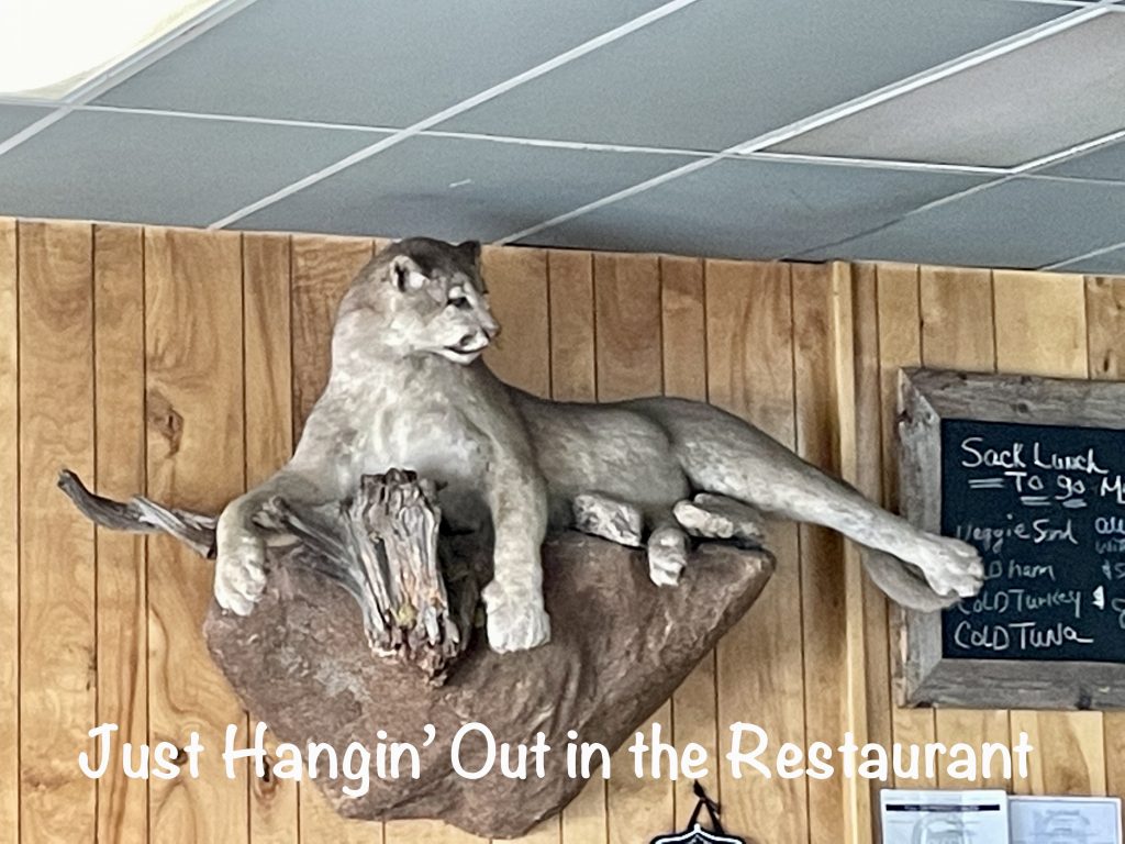
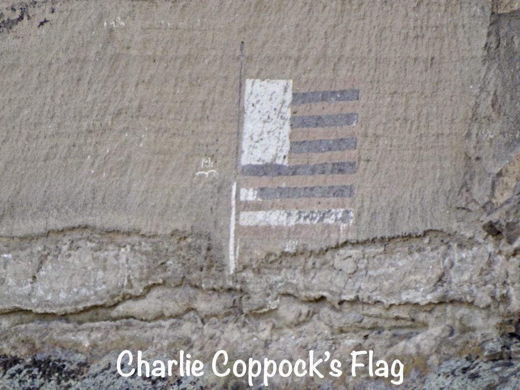
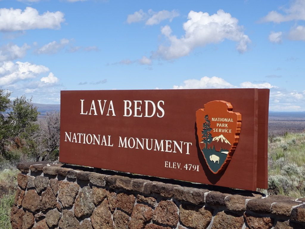
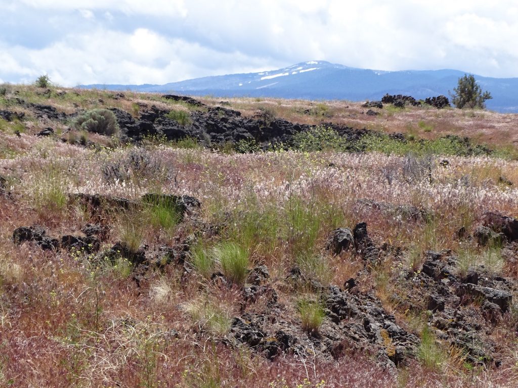
After learning a lot from Danny, we headed just down the road to Captain Jack’s Stronghold. Despite the “shut” sign, they were open, and we grabbed a quick lunch before heading out to our second attraction for the day (and another flag for our wall map), Lava Beds National Monument. To get there, we passed Castle Rock at Petroglyph Point. Although we didn’t see them this trip, there are 2,000 to 5,000 year old petroglyphs carved into the rock in places. There is also a huge American flag that was painted about 50′ up on the rock in 1917 by Charles Coppock. The young man, 16 at the time, was frustrated at being too young to enlist for WWI, and wanted to express his patriotism. He must have used some pretty amazing paint, because it is still very visible.
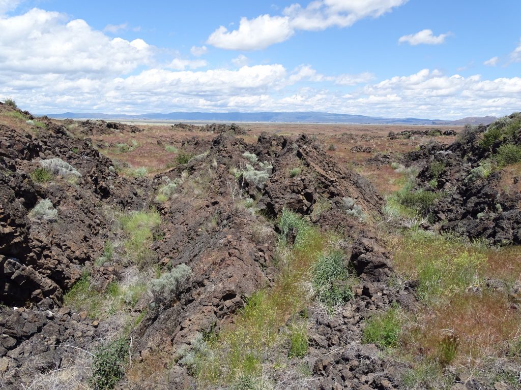
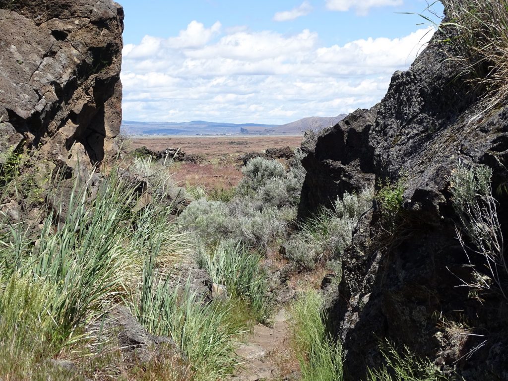
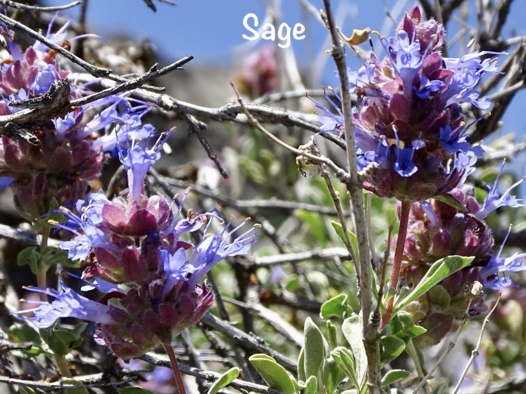
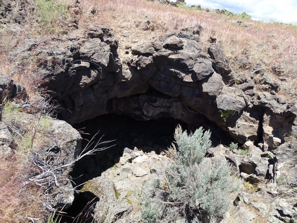
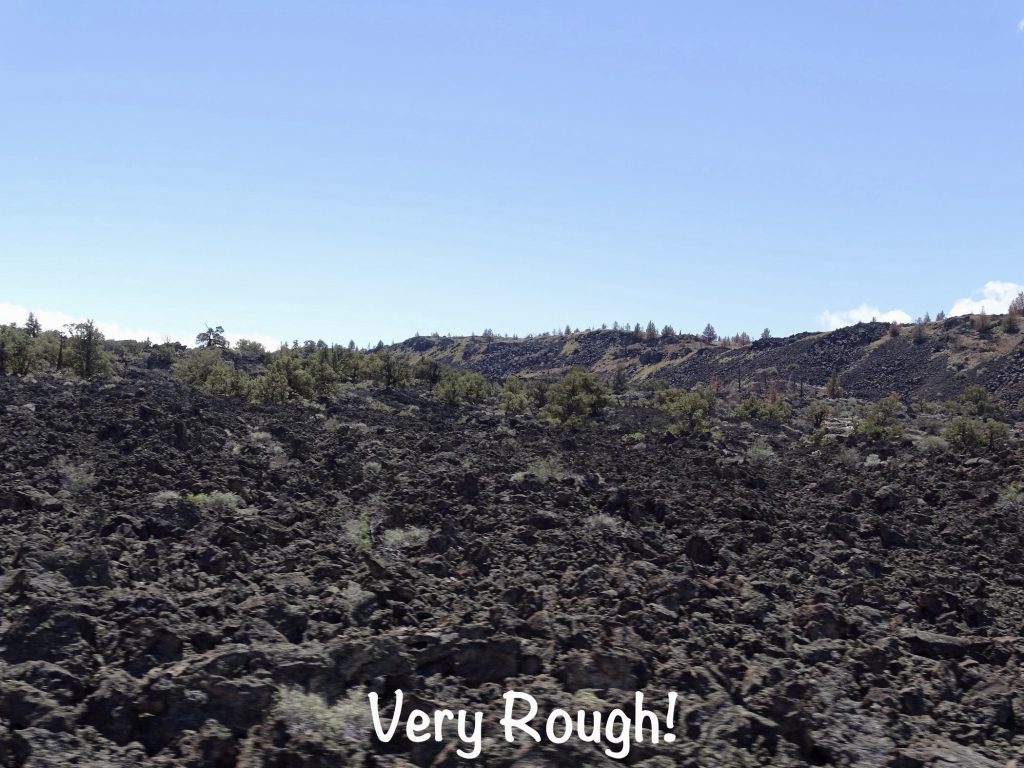
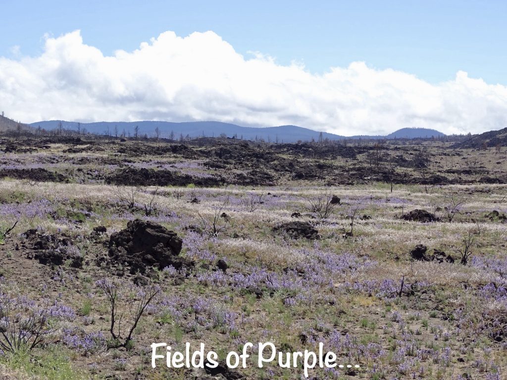
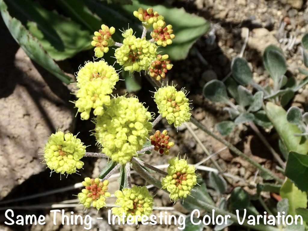
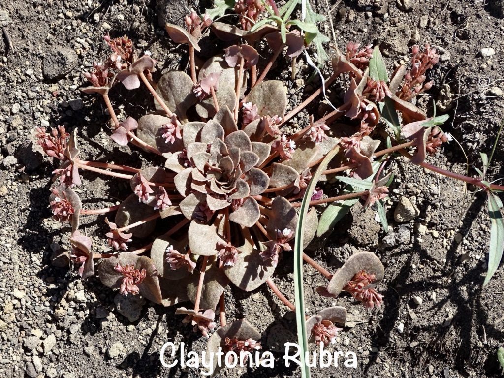
Next we stopped at our first hike of the day, Captain Jack’s Stronghold, for which the restaurant is named. What started out as a paved trail quickly turned occasionally rough with plenty of lava rock. There were lots of wildflowers and beautiful views on the 1/2-mile hike, and a bit of coyote scat, too. This was the standoff location for a significant battlefield in the Modoc War of 1872-73. The only Indian war fought in California, the roots of this fight lie in the relocation of the “people of the south lake” out of their traditional lands to make the settlers happy. The Government persuaded them to live with the Klamaths, their relatives to the north. The arrangement left the Modoc feeling like aliens, and eventually, they returned to their traditional land. Captain Jack, their leader, did his best to keep his people from the settlers, but it didn’t always work. He wanted a reservation on the Lost River, but the settlers pressured the Army to move them back to the Klamath Reservation. You know who won that argument. On November 29, 1872, a Cavalry detachment ordered the Modocs to disarm and return to the reservation. The Modocs were initially complying, but words and then bullets were exchanged. One dead soldier and seven wounded put the Modocs on the run for the lava beds. That same morning, a group of Volunteers attacked the Modoc camp led by Hooker Jim. In that fight, several Indians were killed. As the tribe retreated, they killed a dozen male settlers on ranches in their path. Although Captain Jack was not happy with the revenge killings, he took them into the stronghold, and they waited while the Army gathered its forces. The next confrontation didn’t occur until January 17, 1873, when the Army attacked the Modocs from two sides. They didn’t realize how effective the stronghold was, and lost 37 men while the Modocs lost none. Due to Eastern public sentiment, the President ordered the Army to try to resolve the issue by peaceful means. The talks dragged on into April, while the Modoc war council was reaching a boiling point. Hooker Jim goaded Captain Jack into promising to kill General Canby. On April 12, he did just that, also taking the life of Reverend Eleazar Thomas during what was supposed to be a peace meeting. After that, there would be no mercy for the Modocs. The Army attacked furiously, and the Modocs were cut off from water. Although they retreated under cover of darkness through the lava beds, the writing was on the wall. The Army’s pursuit wore them down. On the verge of starvation and unable to flee because of the women, children, and elderly, the tribe was captured in small bands until it was over. The trail takes you through the stronghold, and you can absolutely understand how a band of fewer than 60 Indians held off an Army 20 times that for 5 months. It is a fascinating place; rough, with plenty of hidden pockets, caves, and gulleys. It certainly couldn’t have been comfortable, though.


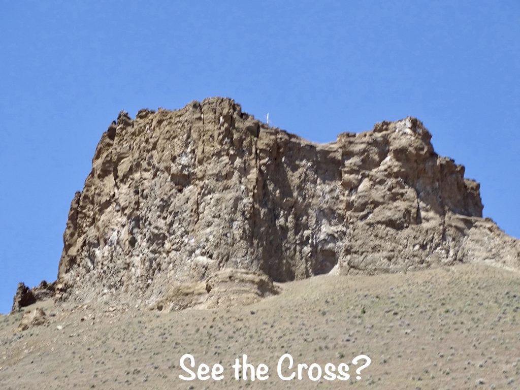
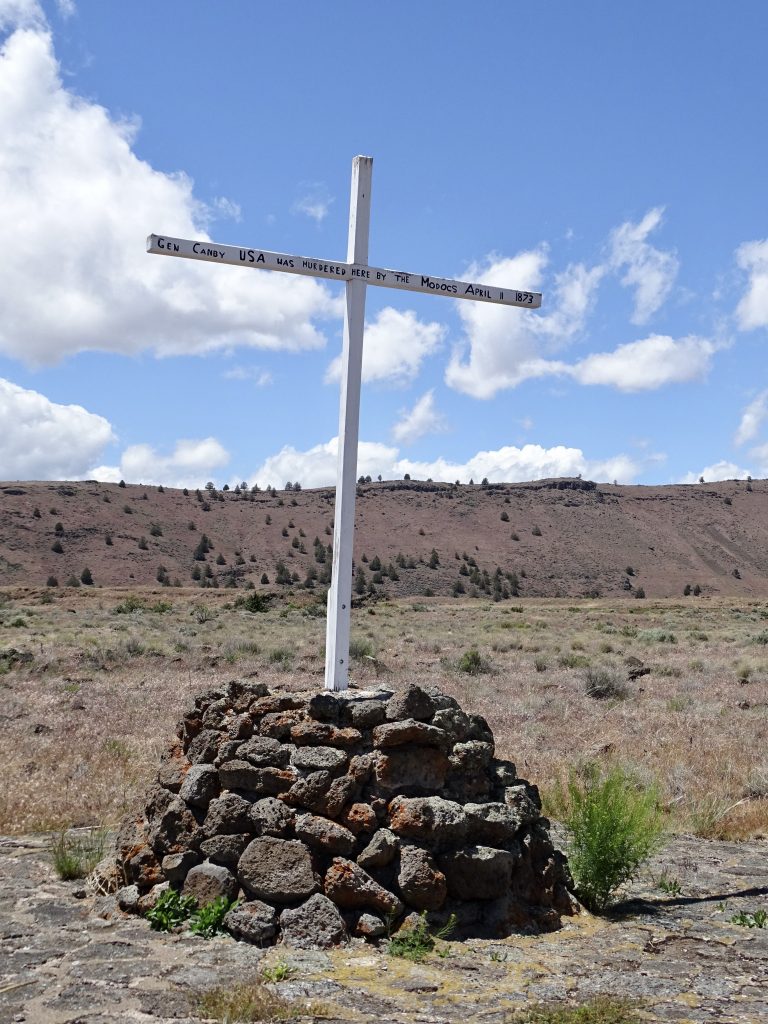
Our next stop was just across the road at the Canby Cross. This is the site where General Canby and Reverend Thomas were killed in 1873. Canby was the only General to be killed in an Indian War. The cross is a replica of one erected by a U.S. soldier nine years later.
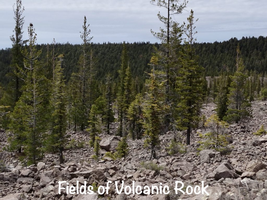
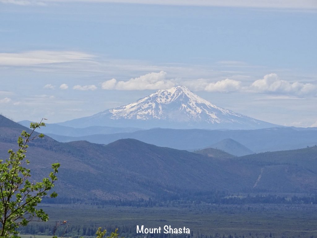
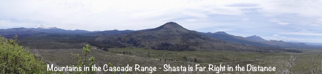
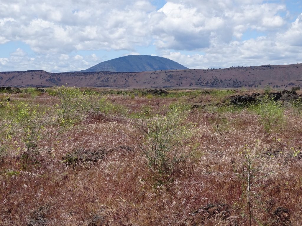
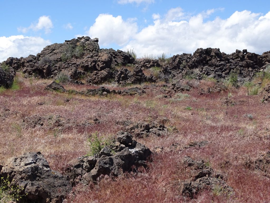
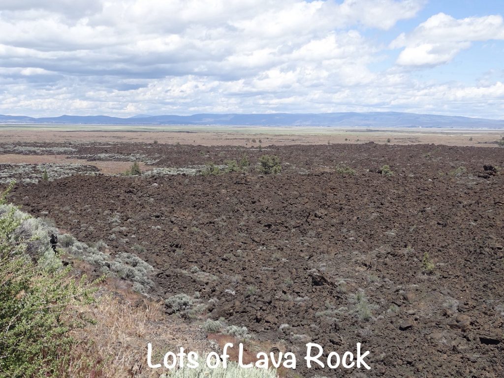
Back on the road, we continued south, stopping briefly at the overlook at the Devils Homestead Flow. All of this lava flow came from the Medicine Lake Shield Volcano, which is a low, gently-sloped area today. It is the largest volcano by surface area and volume in the Cascade Range, which includes Mount Shasta. The lava seeped from many vents and small eruptions.


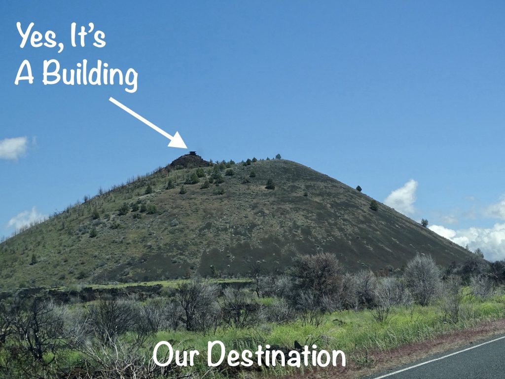
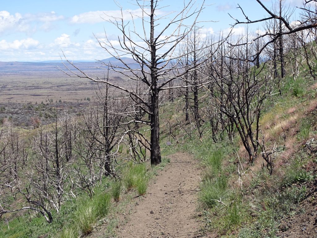
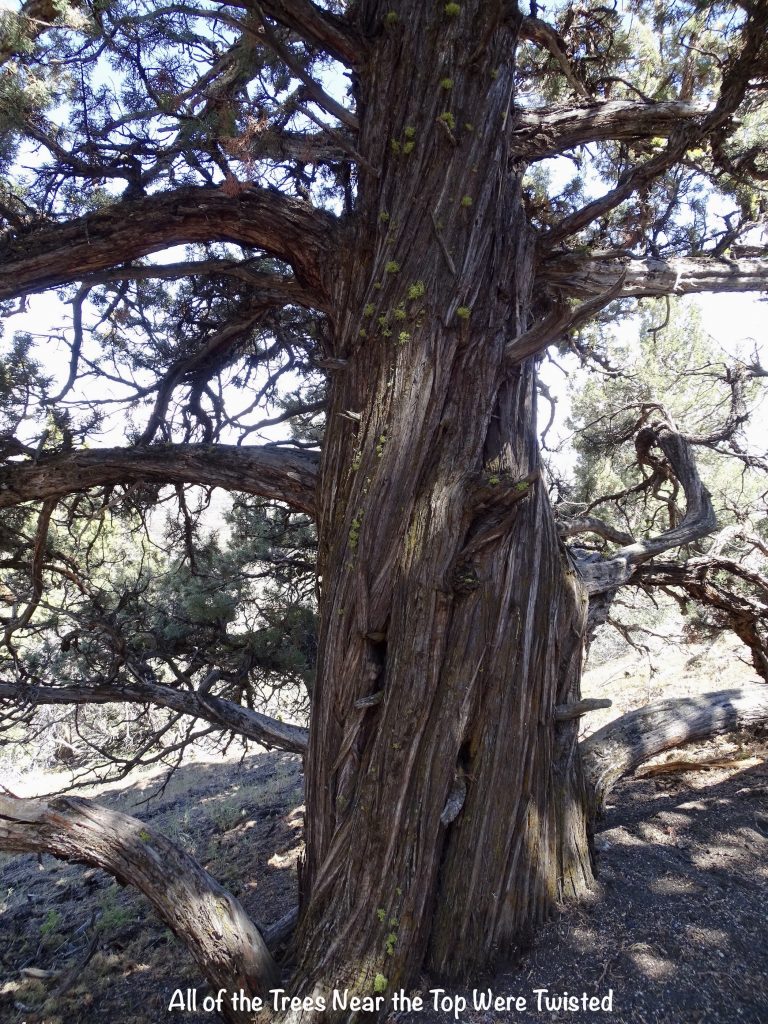
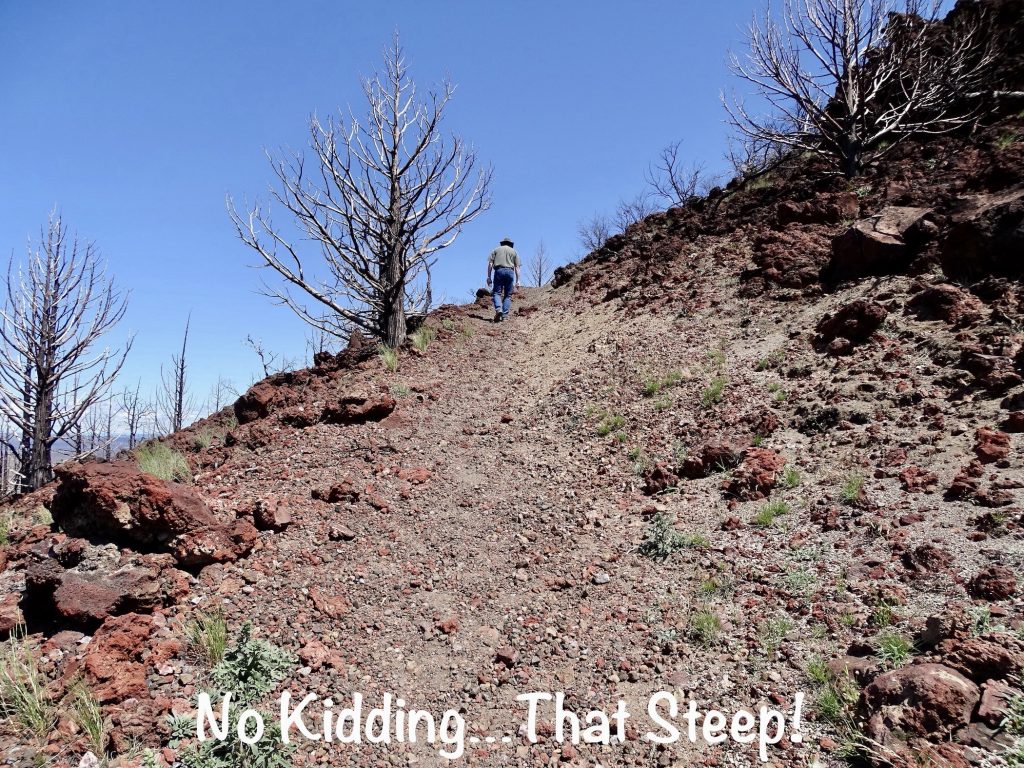
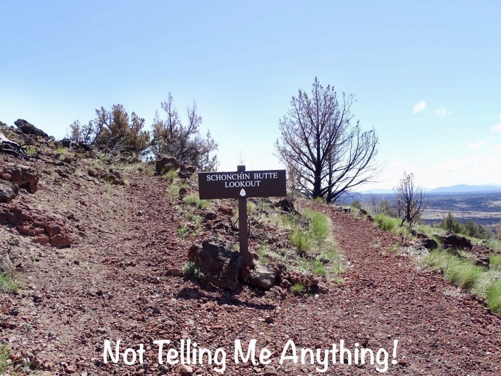
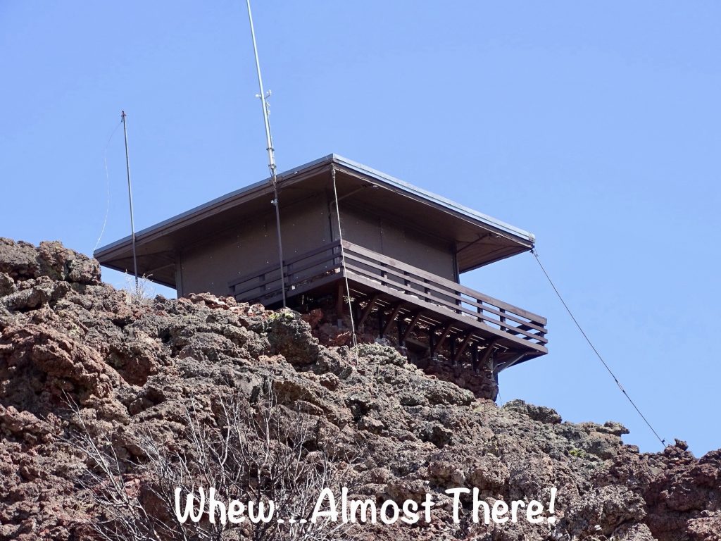
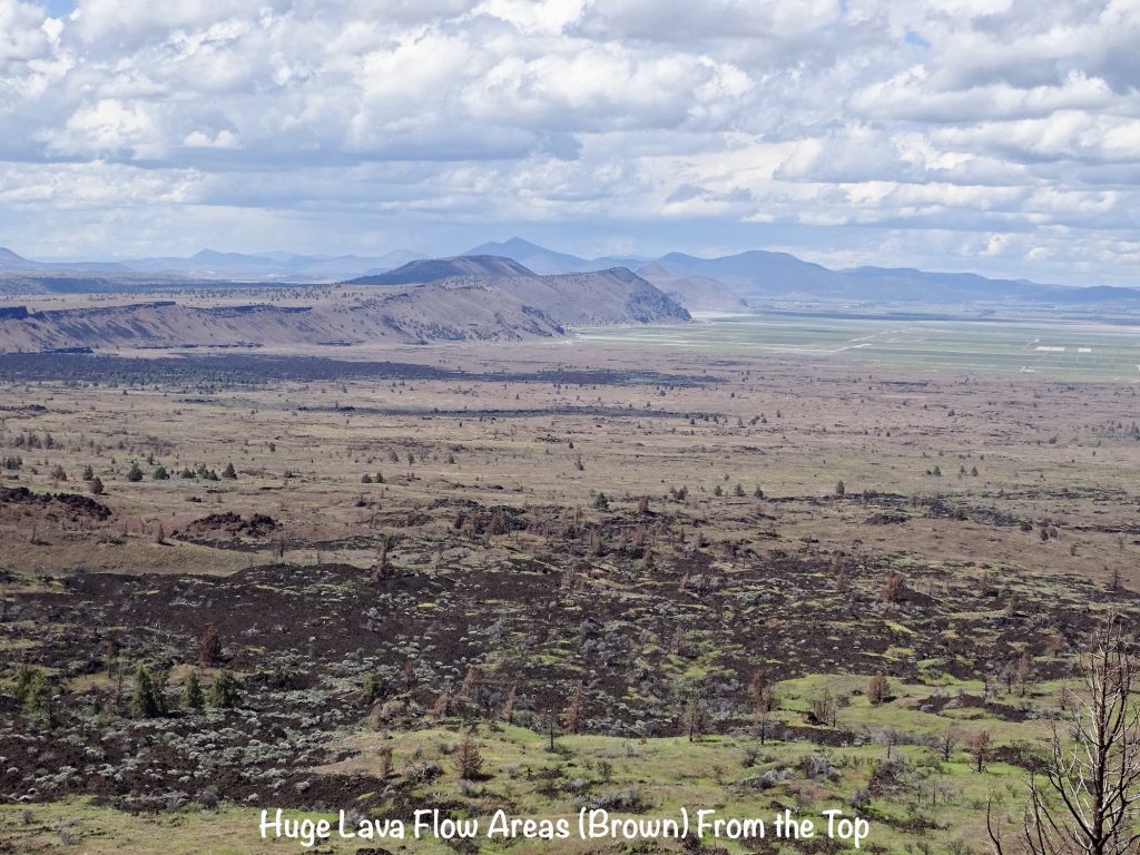
It was time to hike again, so we headed over to Schonchin Butte, a cinder cone from a Medicine Lake Shield Volcano eruption. It is made of “scoria”, which is a glassy rock filled with gas bubbles. In some places, it looks like a hill of large-grain, brown sand, but the trail side is mostly all grown over. There is a crater at the top created by the lava. A 3/4-mile trail takes you to a fire lookout at the summit built by the Civilian Conservation Corps in the 1930s. As expected, the first half of the trail is UP, with switchbacks and some areas that are REALLY steep. Slowly, but surely, we made it. Near the top, we came to a sign where the trail split into two. The sign just said “Schonchin Butte Lookout” with an arrowhead in the center. Hmmm. We went left. Turns out the sign needed more words: “Left…steep *ss climb; less windy. Right…easier climb; wind will blow you off mountain.” That would at least give you a realistic picture of your choices. At the top, the wind was blowing so hard that I had to hold on in some places to keep from being physically blown around. It was an amazing view, though, and we enjoyed being the only folks up there. We didn’t see anyone else until we were almost back to Brutus. I was happy to note that, once again, this uphill hike was easier than the last one.

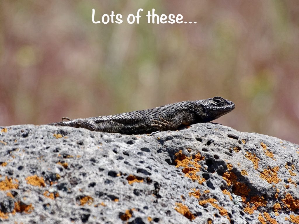
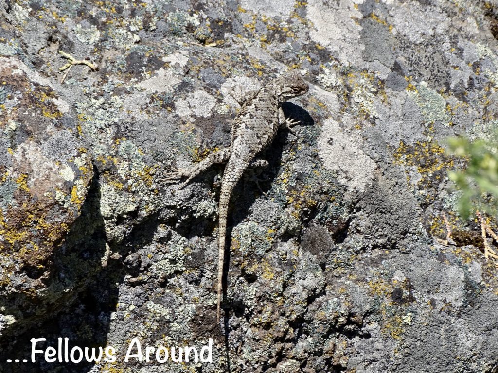
Our final stop was at the Visitor Center near the southern entrance. Our original plan was to exit the park at that end. We have a military National Parks Pass, so we didn’t have to pay a fee. (In case you aren’t aware, active duty military and veterans now get the annual pass free. Eventually they are supposed to issue a permanent one, but for now, they just give you a new annual every time it expires. That’s a savings of $80 per year.) The ranger said we needed a “caving” permit, but we told her we were headed out of the park and not going into the caves. She said we needed the permit anyway. Odd. The park documentation says you only need it if you are going into the caves. Was she misinformed or padding the count? Except for birds, we didn’t see any wildlife, but I asked what was routinely in the park. One of the rangers said a large, female cougar had been spotted a lot lately. They actually had to close a trail when a hiker found one of her kills in the middle of the path. (They reopened it after the cat dragged the kill away.) She also said that, a few days ago she and another worker were up at the north entrance getting the vehicle count information. Seconds after they finished up and got in the car, a big cougar crossed the road right in front of the vehicle. She said “you know it was just sitting somewhere watching us, and we had no clue!” (Don’t freak out, Mom. They almost never bother people.) When we headed out again, MW decided to take the shorter route back through the park. You know I was looking for big cats the entire way, especially around that north gate! Back at Petunia, I did a bit of writing in the evening.
Tulelake-Butte Valley Fairground is not a bad stopping point. This is the fourth fairground we have stayed in, and the nicest thus far, with full hookups and a clean bathhouse. (Laramie, WY, was basically a parking area backed up to some questionable private property, but it did have full hookups. In Garden City, KS, we stayed in a parking lot with electric, although there was a more “campground” setup in the back with water. Helena, MT, had a nice campground with electric and water, but no bathhouse.) There were 30ish all grass, full-hookup sites, some 50- and some 30-amp, and lots more dry camping sites. NOTE: The latter were on the expensive side at $30 per night, plus they charged you $10 to dump. The sites are pretty tight, but it wasn’t crowded for our stay, and the campground is way off of the main road and fairly quiet. Were the campground full, some of the narrow, perpendicular sites would be tough to get into, but the road is wide. We would stay again if we needed to be in the area. For this stay in June 2022, we paid $108 for 3 nights.
After 2-1/2 weeks, we are headed out of California. I’ll probably tick off some folks from the great Mecca, but here are a couple of observations: 1) We saw more homeless people passing through the urban areas around Fresno and Sacramento than we have anywhere else in the country with the exception of the area just north of Honolulu. Can’t imagine what it must be like in San Francisco, Los Angeles, or San Diego. 2) I have never in my life seen more houses with high fences and locked gates in middle-class neighborhoods. 3) Many gas stations have signs saying that their bathrooms are out of order. They aren’t. If you ask and are a customer, they will let you use them. They are either keeping out the homeless or drug addicts…or both. 4) The Golden State is a dirty state. Only once before have we noticed so much litter along the roadways. (The other state may have been Mississippi, but I’m not positive.) There is trash everywhere! We also observed that a lot of the “Adopt a Highway” sections are still orphans. We haven’t noticed that before. 5) You can find every kind of terrain, and most of it is very beautiful. 6) The locals will tell you about the problems, and many openly talk of moving east. Of Oroville: “This town is terrible.” “Be careful around here.” “Oroville has all of their homeless and other issues out in the open.” (Note, we didn’t have any problems for the 5 days we were in Oroville.) Of Chico: “They pretty up their problems, but they’re there, just hidden. A seedy underbelly.” 6) Like everywhere else in the country, most people are very friendly…especially in the more rural areas.
That’s it for now. Next up…Oregon and into Washington. See you on the path!
Talisa
P. S. Thank you so much for reading! Use the buttons at the top right or bottom to be notified of new posts and please SHARE, SHARE, SHARE on social media!