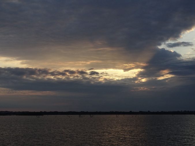
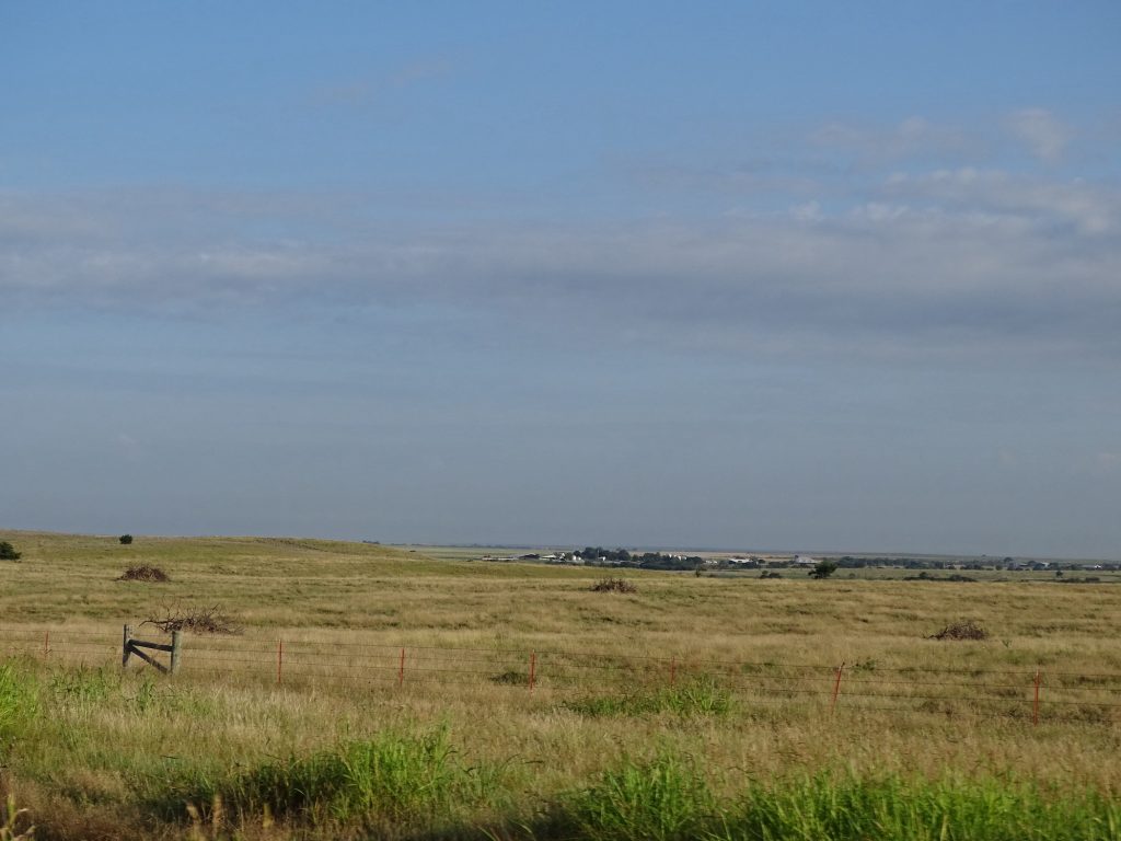
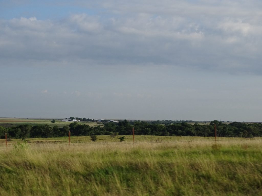
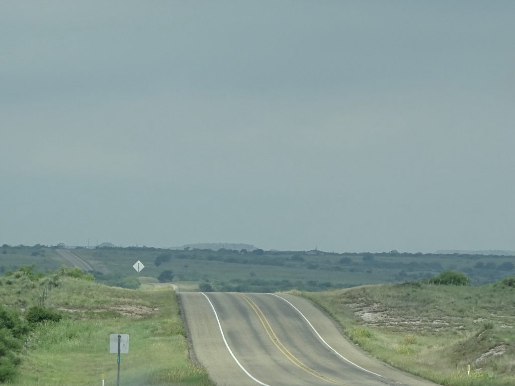
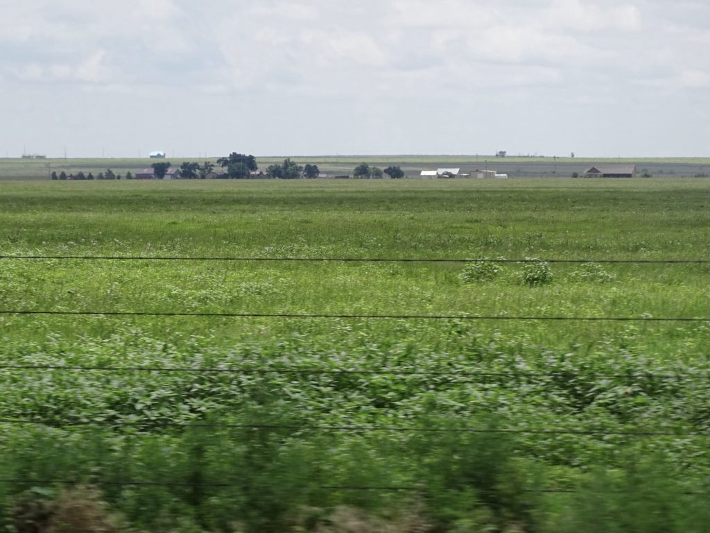
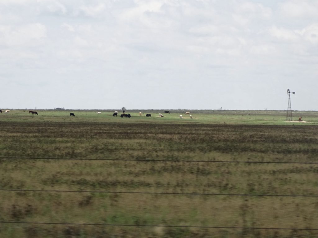
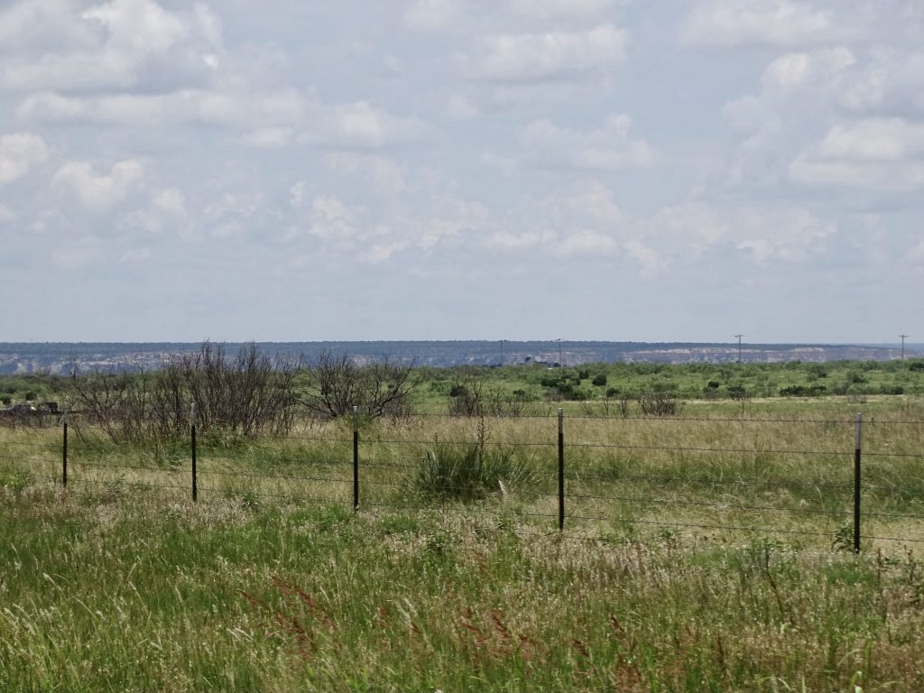
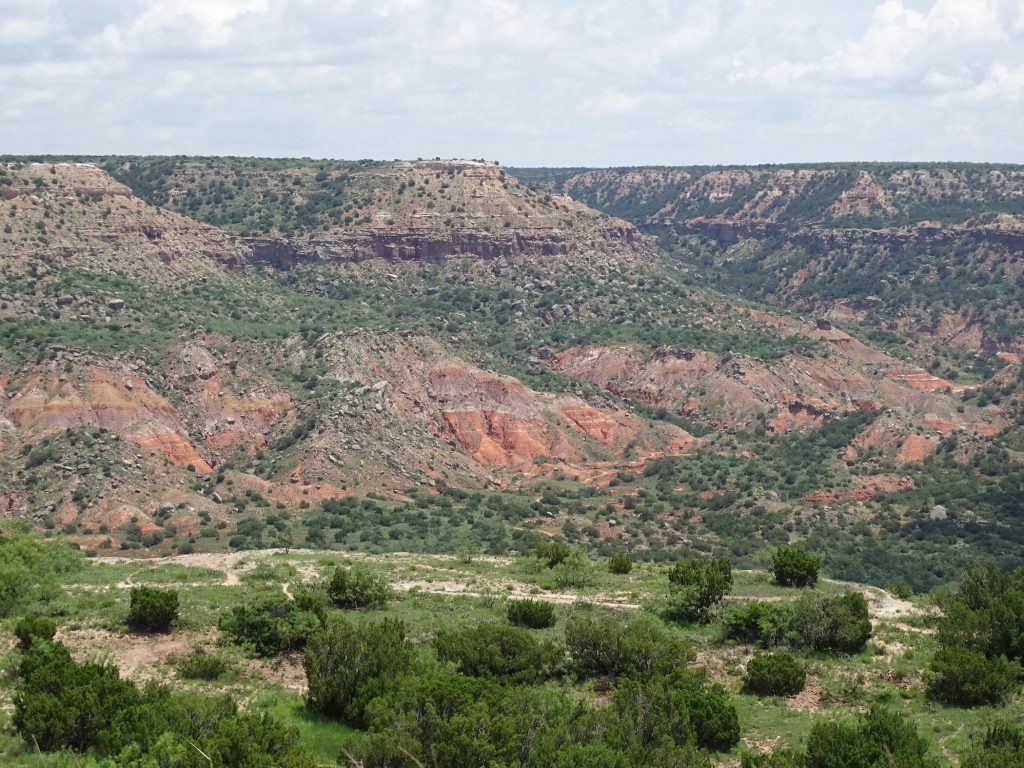
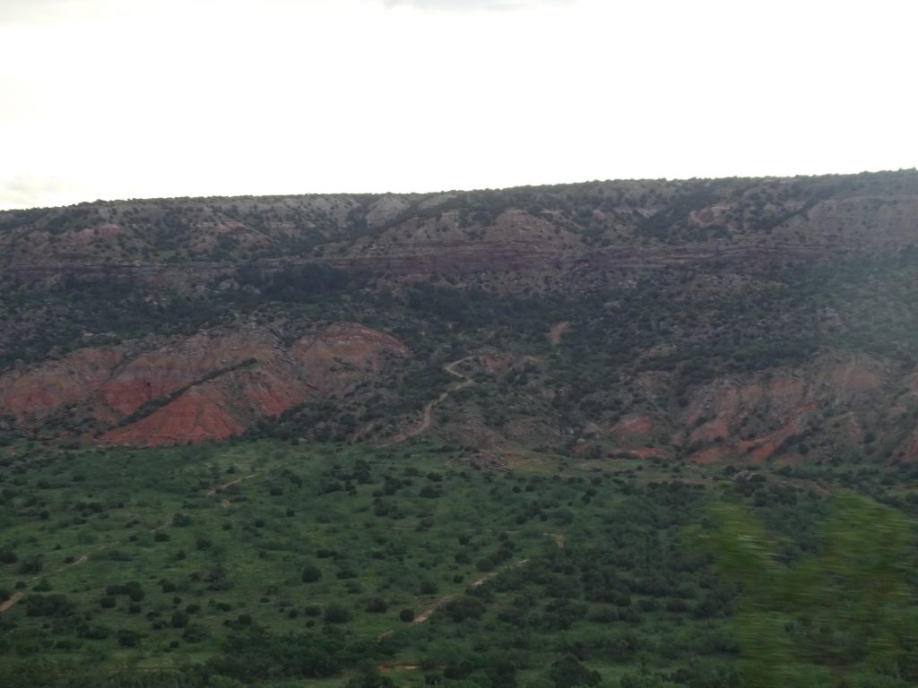
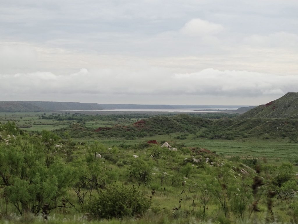
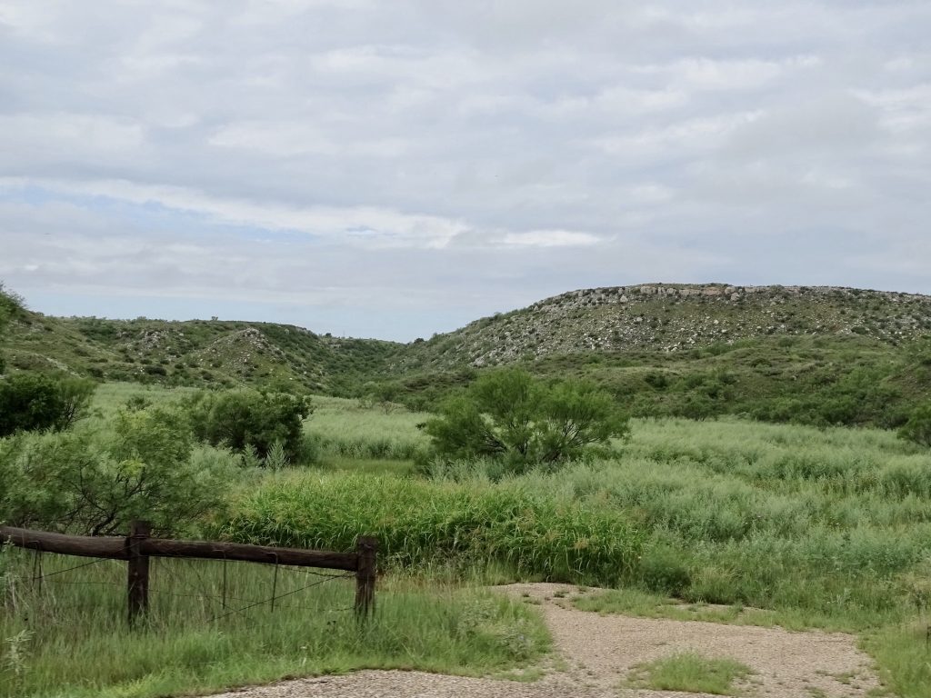
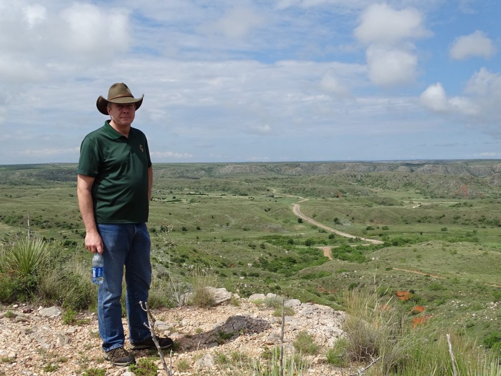
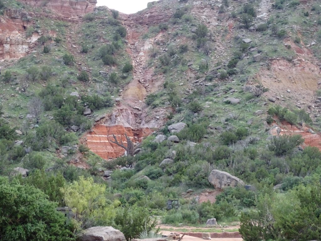
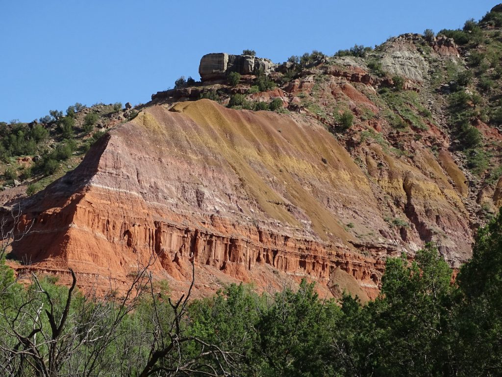
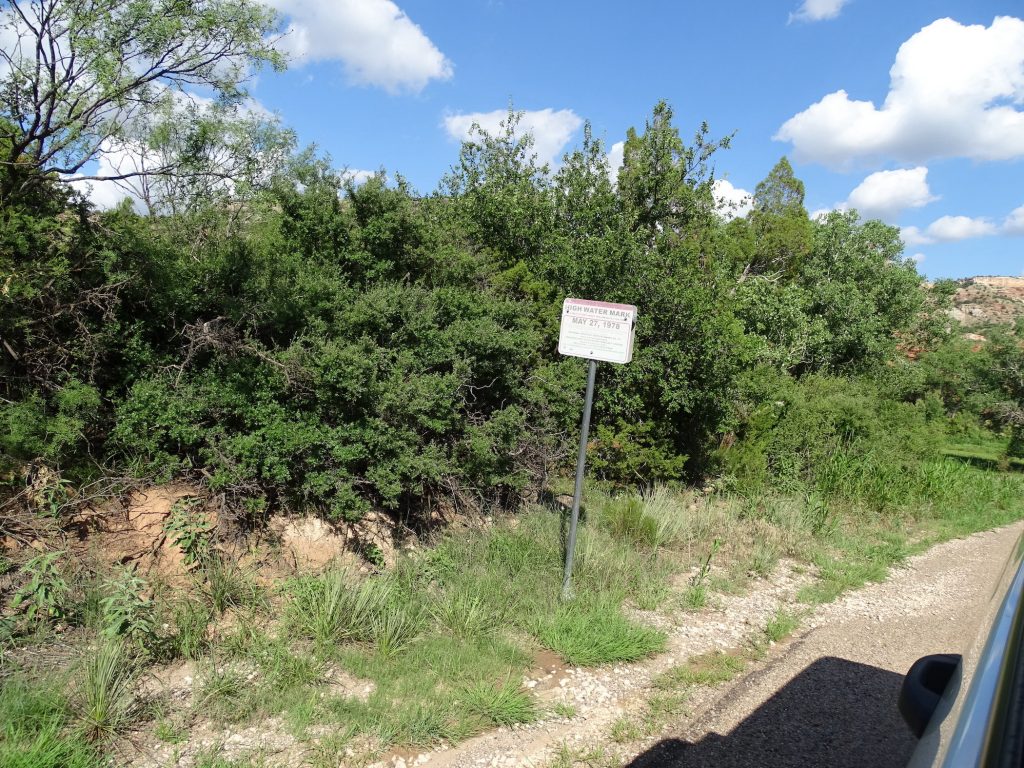
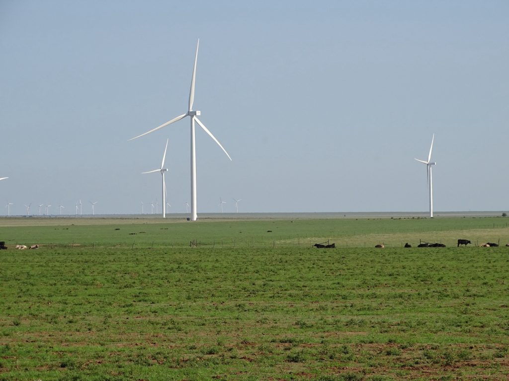
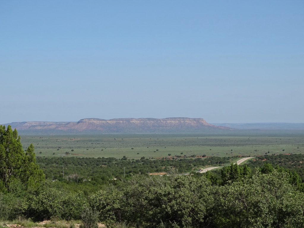
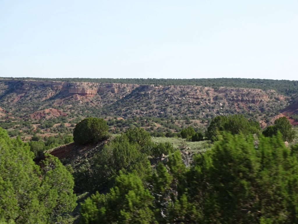
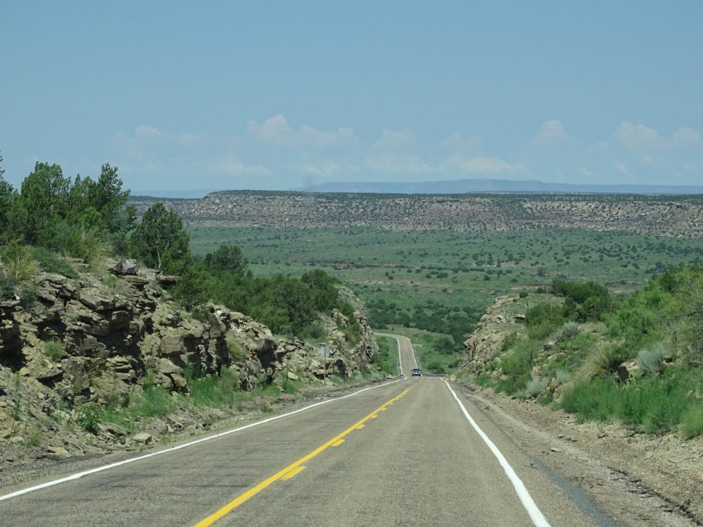
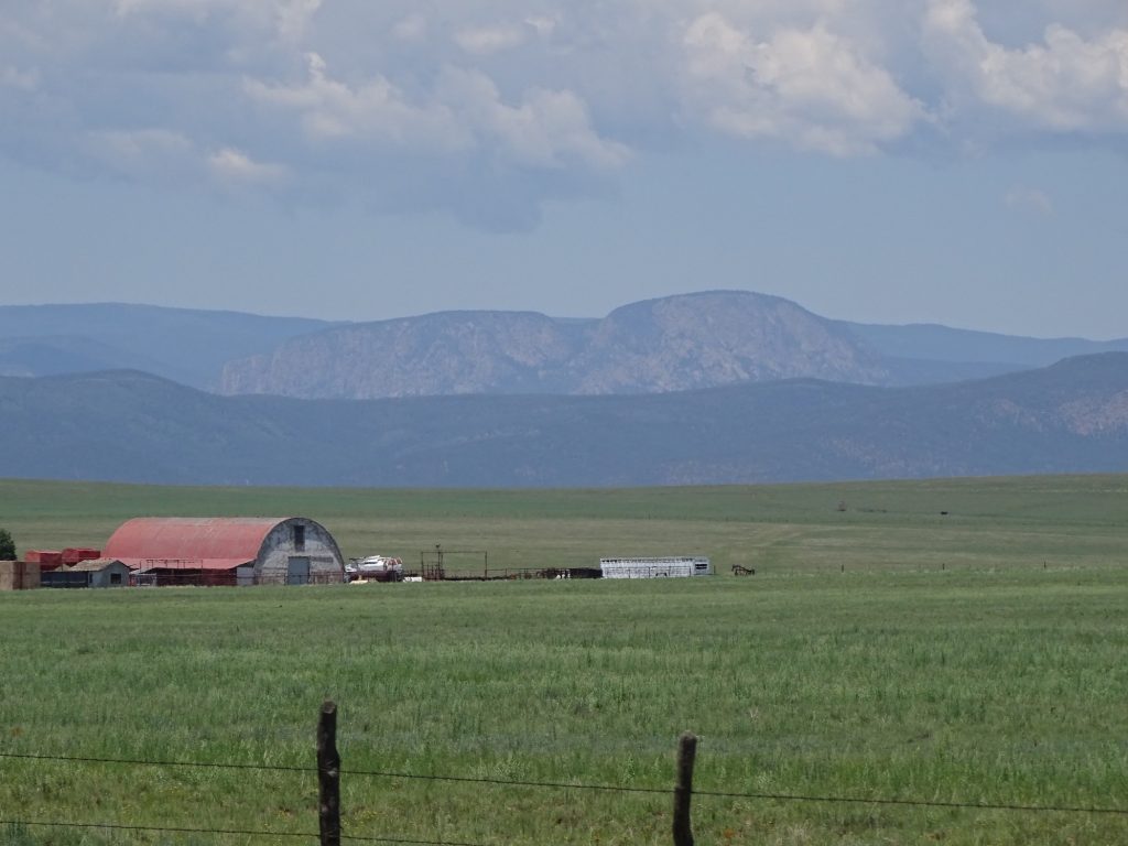
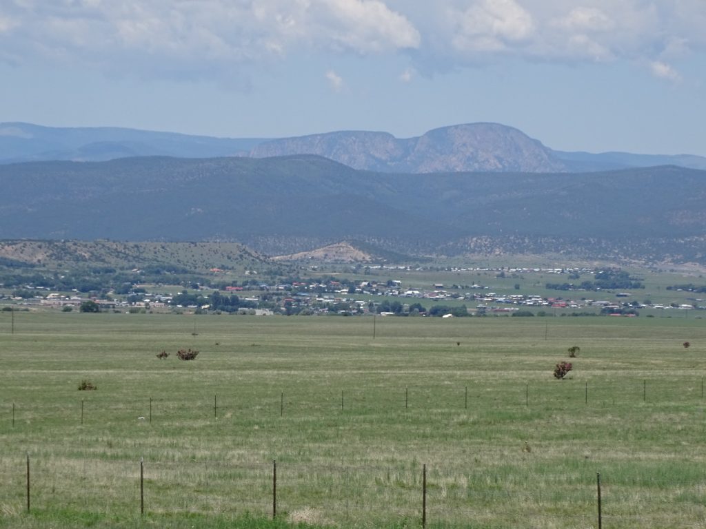
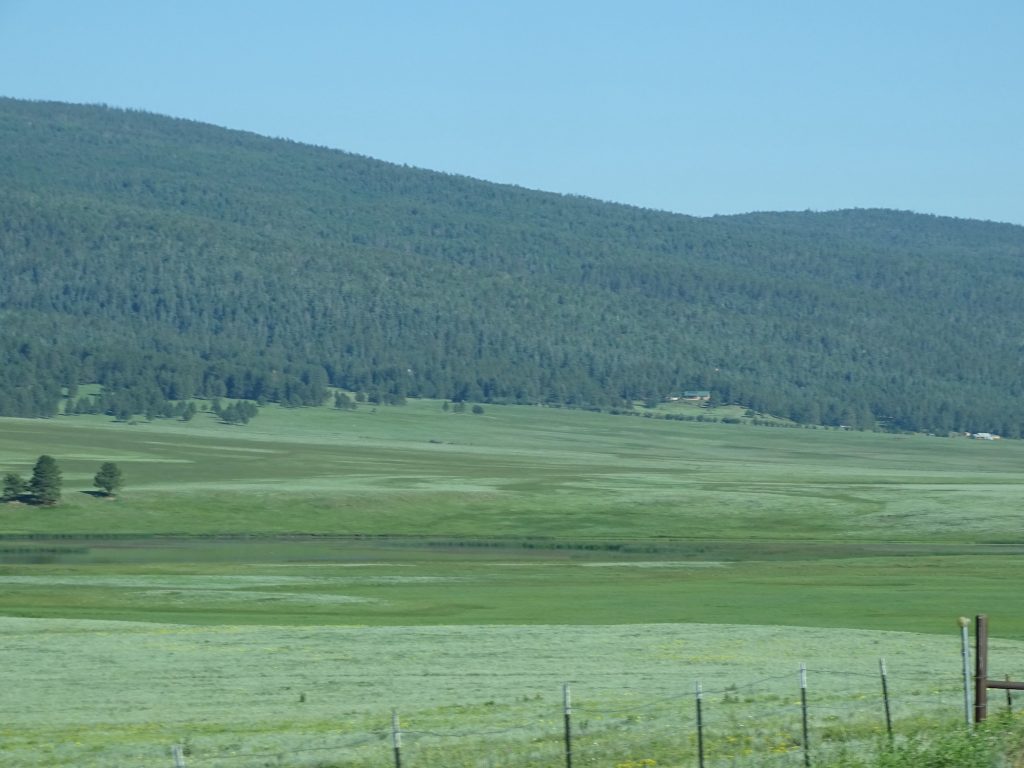
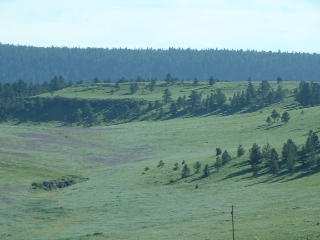
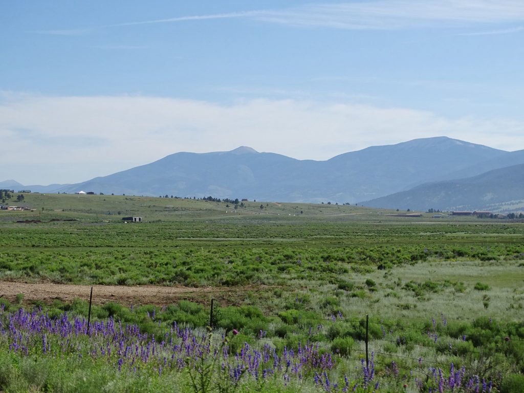
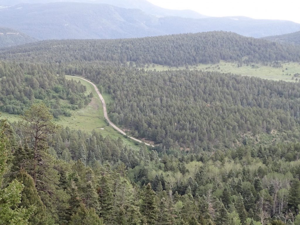
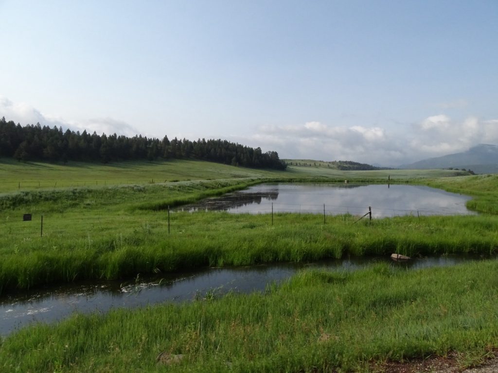
Monday, July 6, started early, and we were on the road about 6:45 AM. The above view over the lake was our last look. Just beautiful! We headed north out of the park, then west on OK-63. Just past I-44, the road was closed, so we had to detour down US-277 to Randlett, then west on US-70. West of Waurika Lake the land was very flat and mostly open pastures. At times, it looks like you can see forever. At Grandfield we turned north on OK-36 then followed OK-5 to Altus, where we stopped for gas and to stretch our legs. We then headed west on US-62 all the way… back into TEXAS! Yes, you read that right. Strangely, the flat landscape seemed to switch to rolling almost as soon as we crossed the state line, at least for a little while. Near Childress, Texas, we could see a mesa in the distance. Before long we were back to flat, flat, flat, though. We zig-zagged up to TX-287 to Memphis, where we stopped at the Thriftway market to walk a bit. The young ladies there recommended Rock Inn Cafe for lunch, where they said the food was good and there was ample parking for Petunia. They were right on both counts. We had salads; MW’s was Chef and mine was grilled chicken. Everything was fresh and delicious, although they could have added a little more greens. After lunch we continued west on US-287 to Claude. In order to get to our destination, you have to approach from the west. That meant we had to drive west on FM-1151, then south on Washington Street, then east on TX-217. The approach to the park was crazy. One minute you are riding along with totally flat fields on either side, then the next, the land just drops off into this amazing canyon. The colors and structure reminded me a bit of Theodore Roosevelt National Park in North Dakota. We checked in at the gate and found out that there was a water main break and our site didn’t have water. The bathhouse worked, though, and there was a place to fill up the tank, so all was good. We got everything set up around 2:30 PM. After relaxing for a bit, we headed out for our evening entertainment.

Near Chattanooga Near Frederick
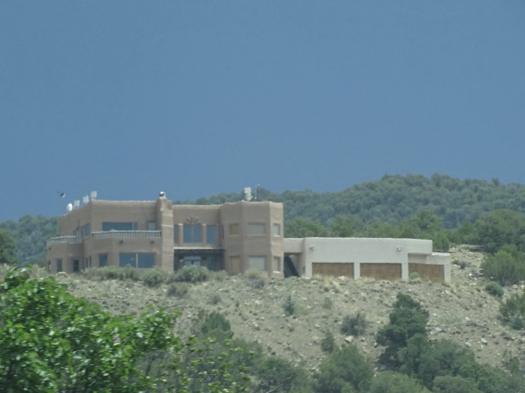
Near Frederick See It in the Distance?
About 5 Minutes Out
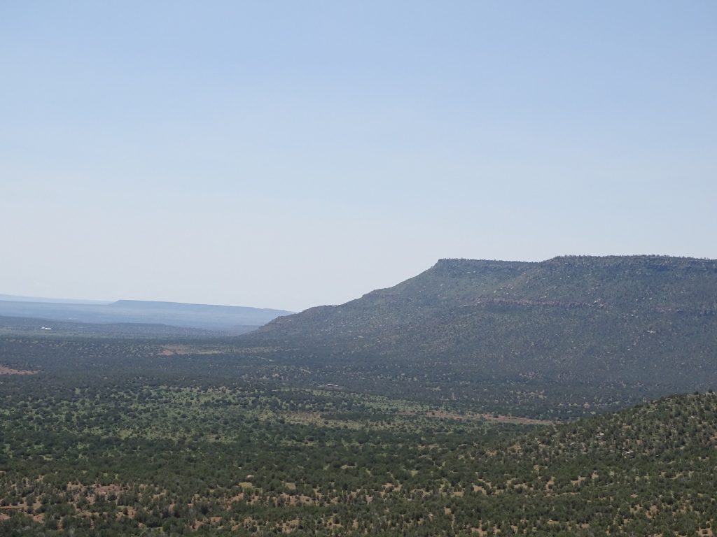
1:35 PM – Flat in All Directions 1:36 PM – What’s That Over There
1:37 PM – Holy Smokes! Am I Still in Texas???
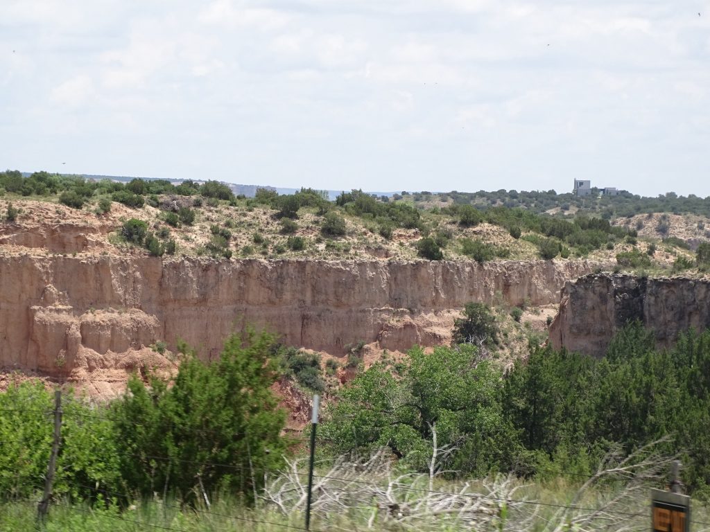
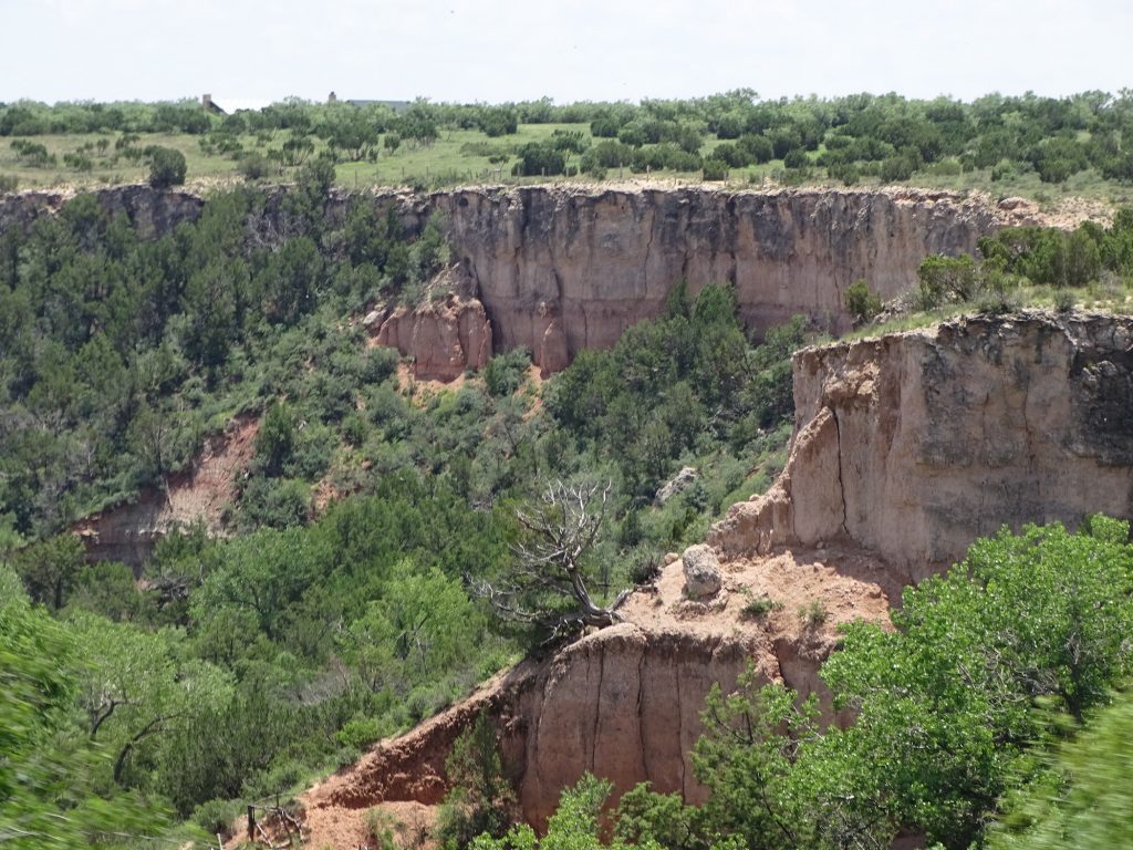
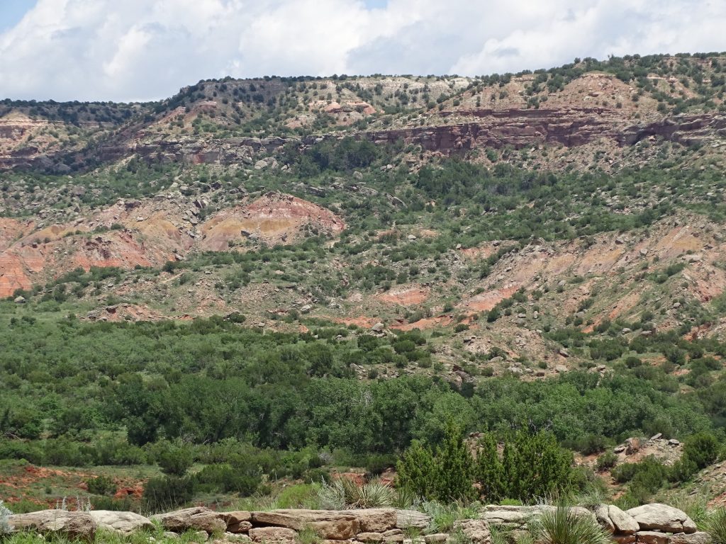
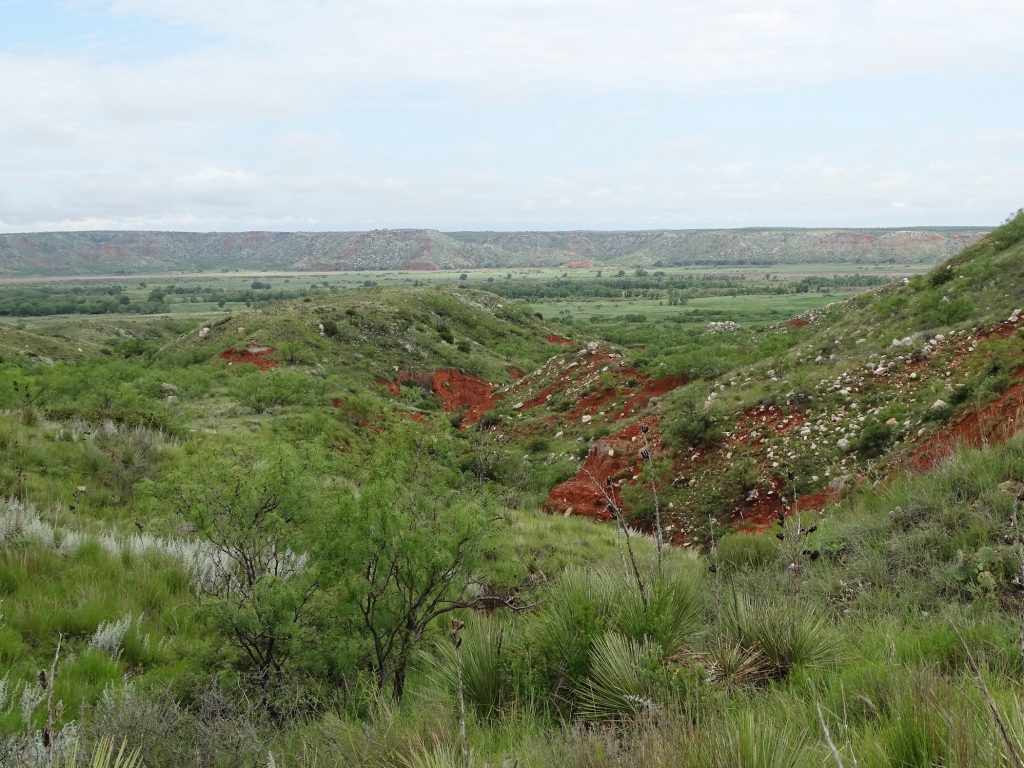
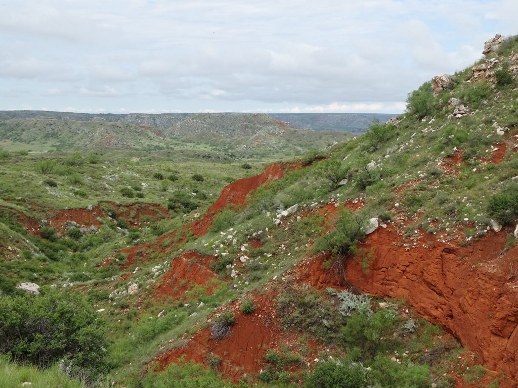
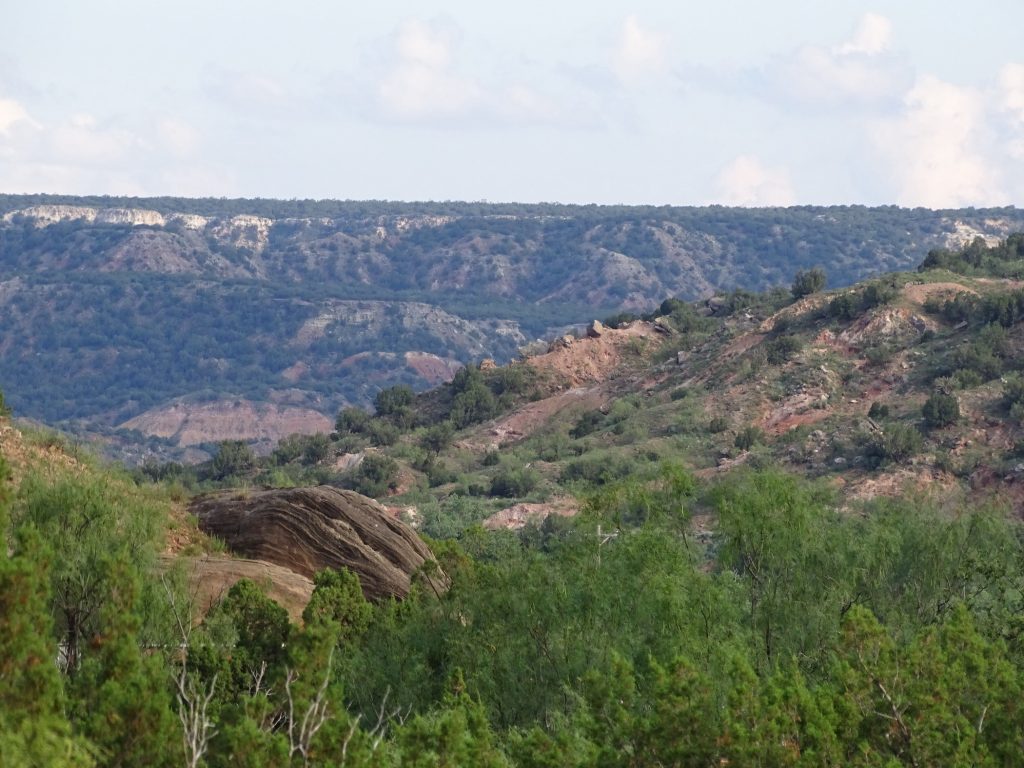
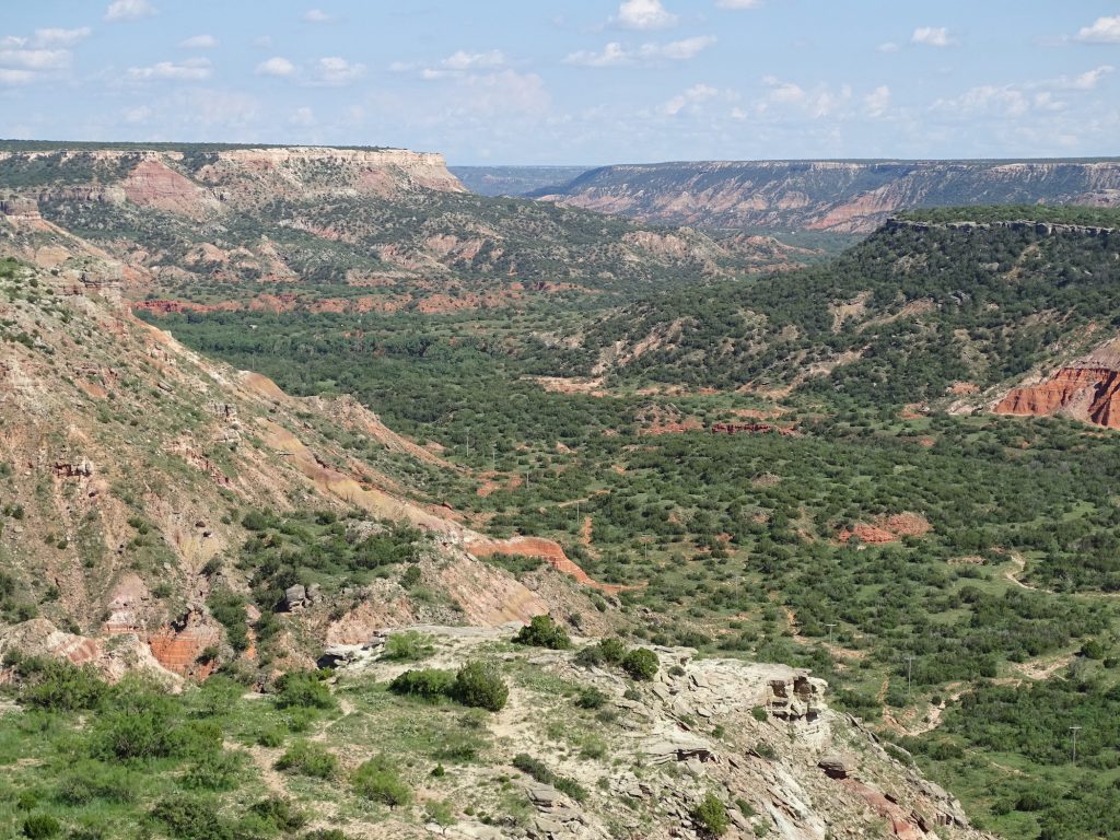
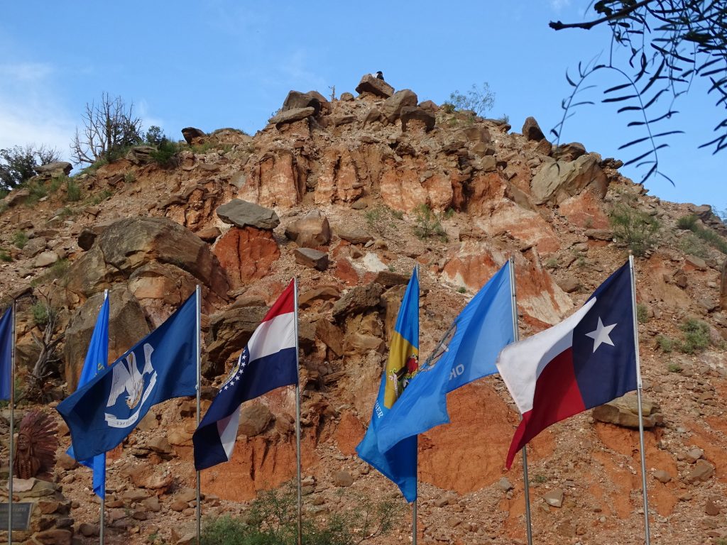
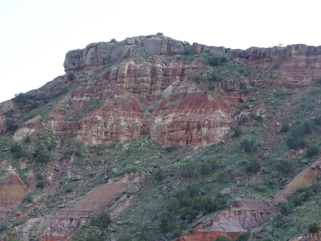
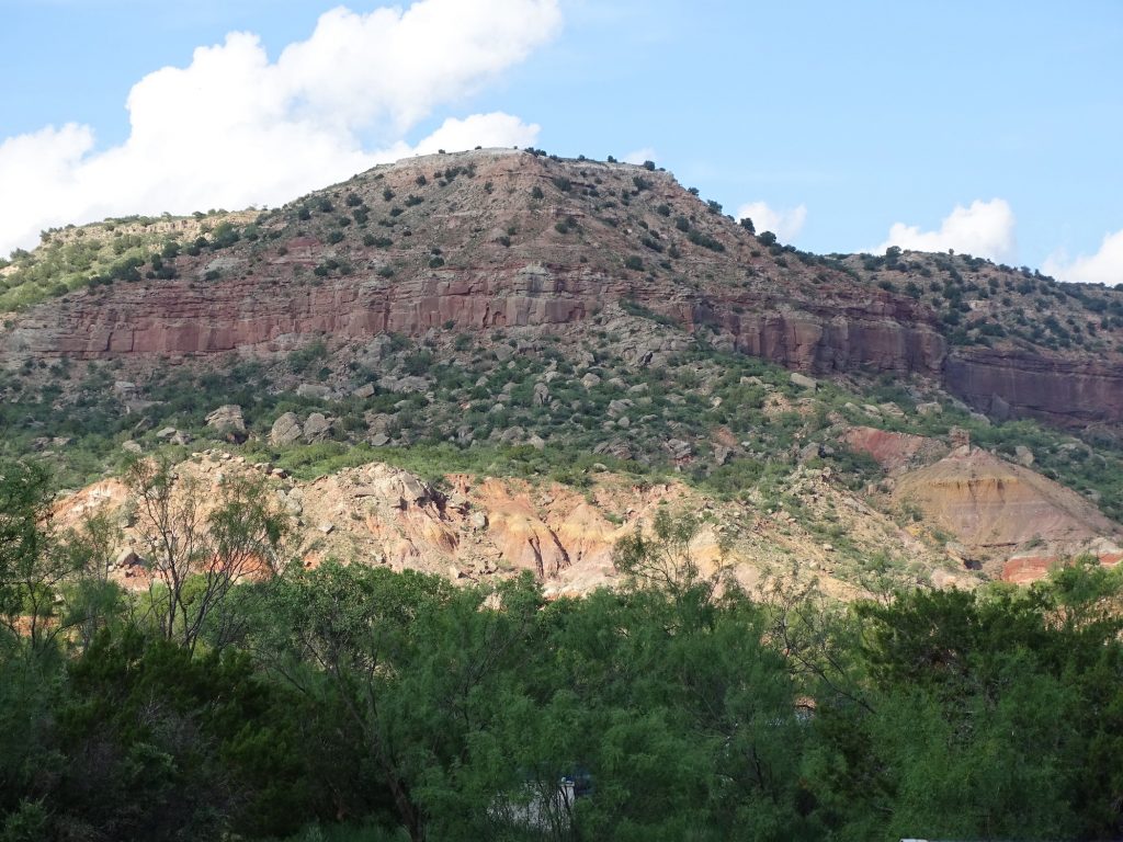
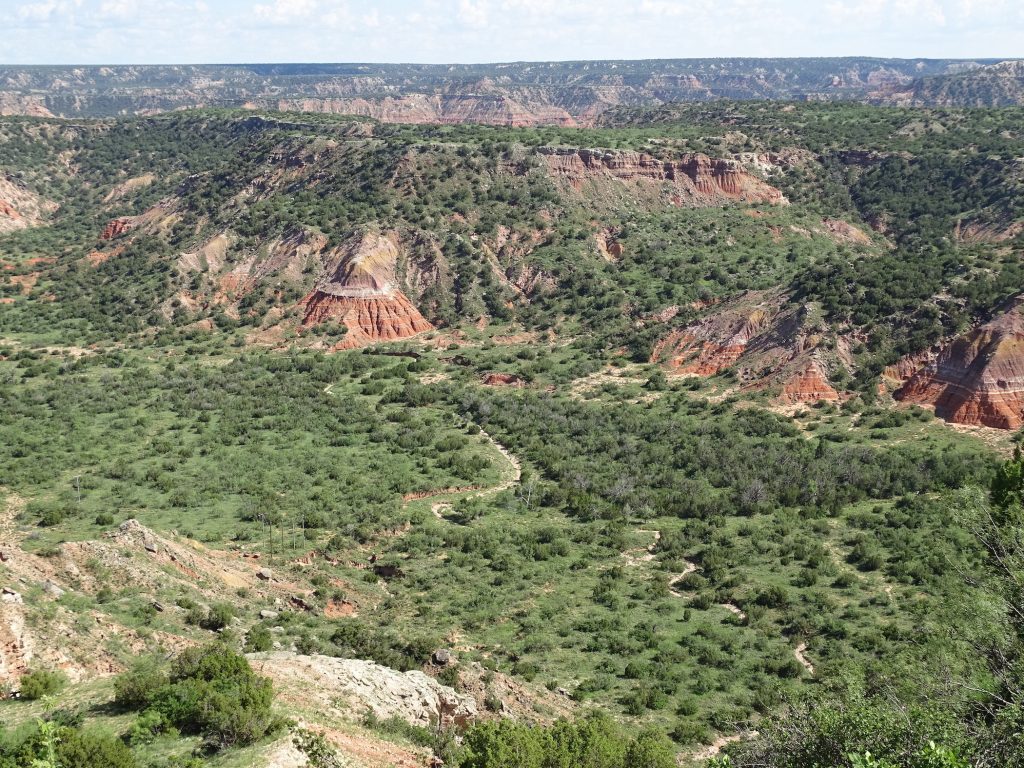
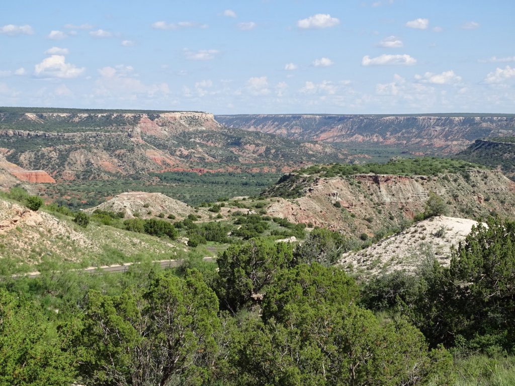
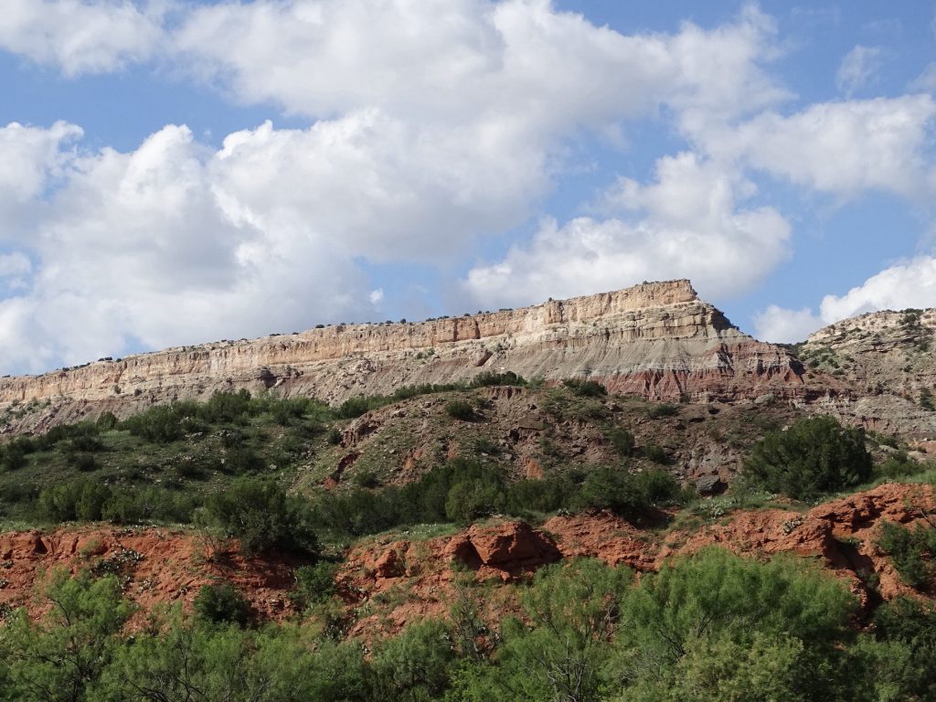
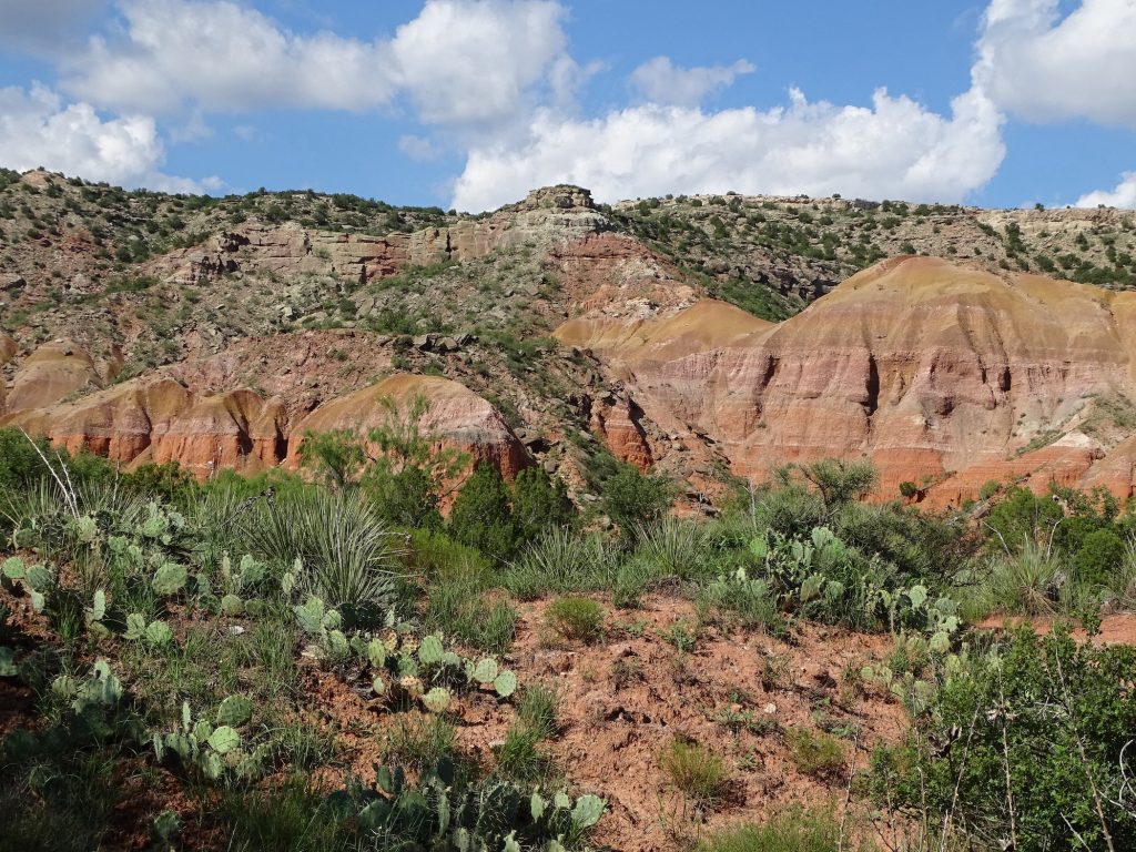
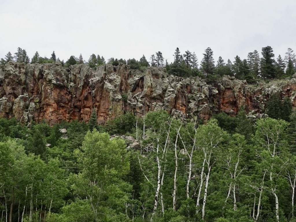
Sometimes called “The Grand Canyon of Texas”, the Palo Duro Canyon is amazing. It is believed that the first inhabitants came 10-15,000 years ago, and it has been consistently occupied since. The availability of water and abundant game made it attractive. The Apache Indians lived in the canyon at the time of the Coronado expedition in the mid-1500s. Later the Comanche and Kiowa ran them out. The Battle of Palo Duro Canyon in 1874, one of the last battles in the Texas-Indian Wars, displaced the natives for good. By the time the battle was over, they had lost half of their horses and all of their supplies, giving them no choice but to return to their reservations in Oklahoma. Two years later, Charles Goodnight and John Adair established the JA Ranch, the oldest cattle operation in the Texas panhandle, in the canyon. The natural fencing of the canyon walls made it perfect for containing cattle. I’ll give you more about the campground and park later.
Second Largest Canyon in the US Approximately 120 Miles Long
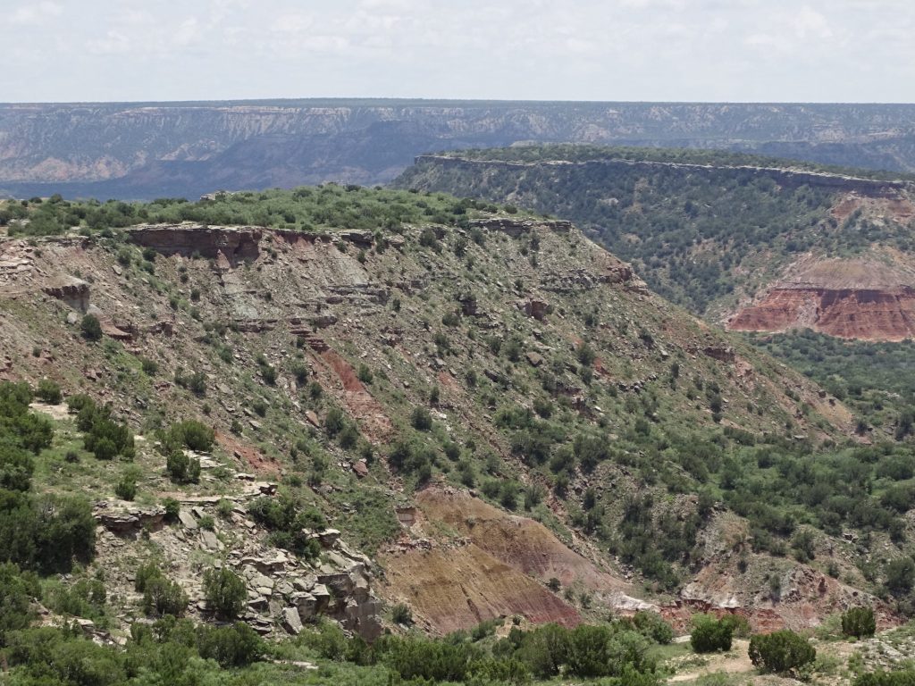
Varies From 6 to 20 Miles Wide And 850 to 1,000 Feet Deep

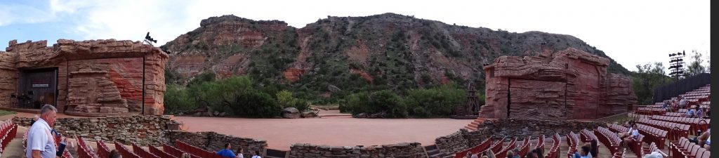
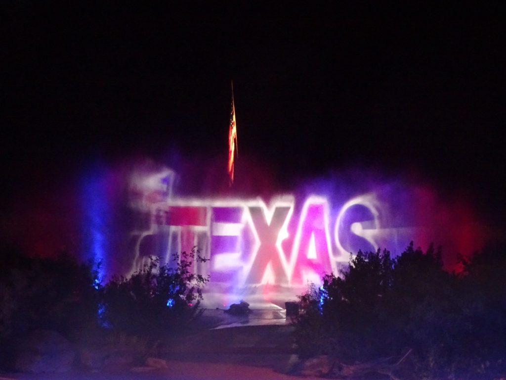
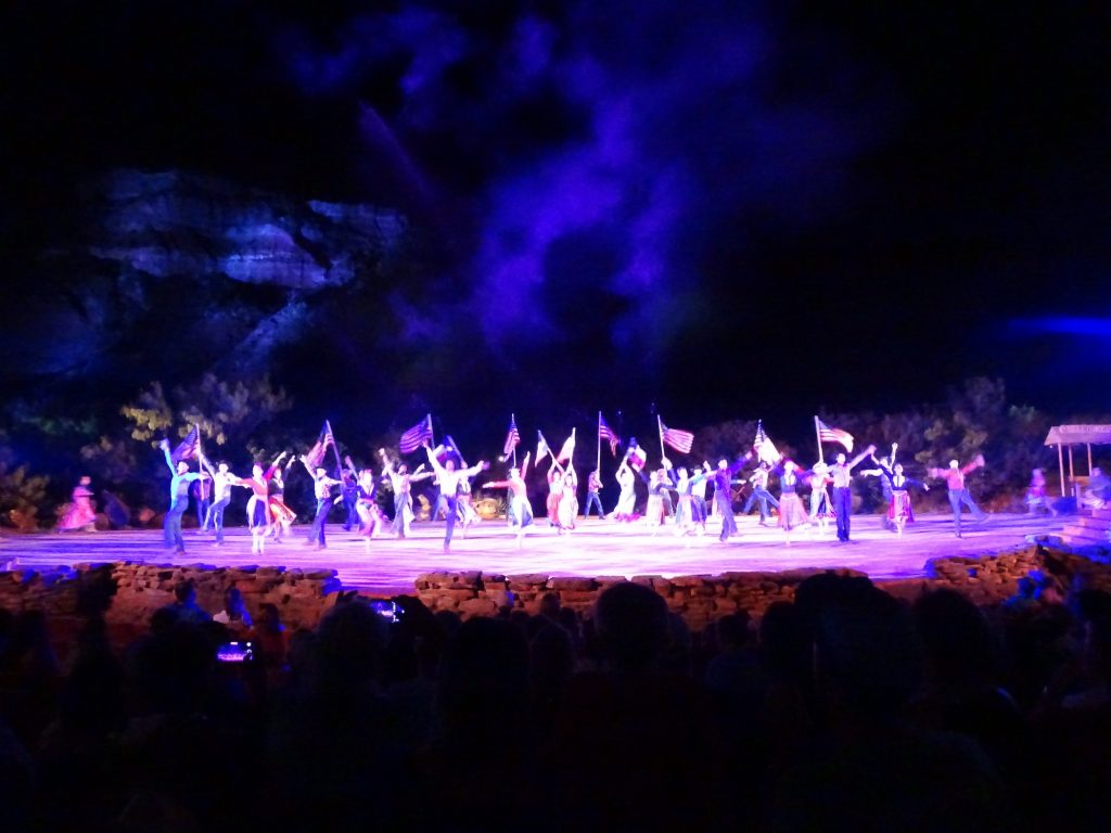
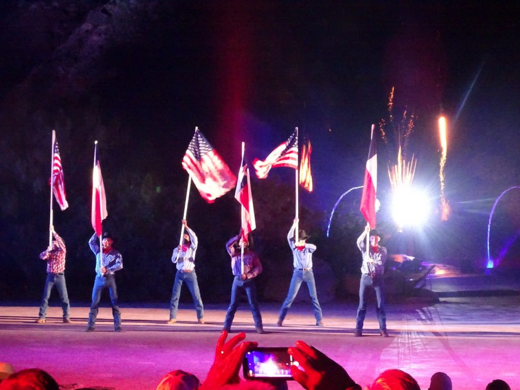
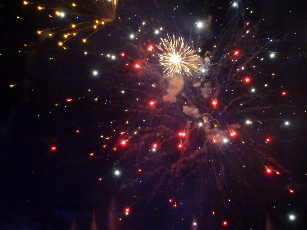
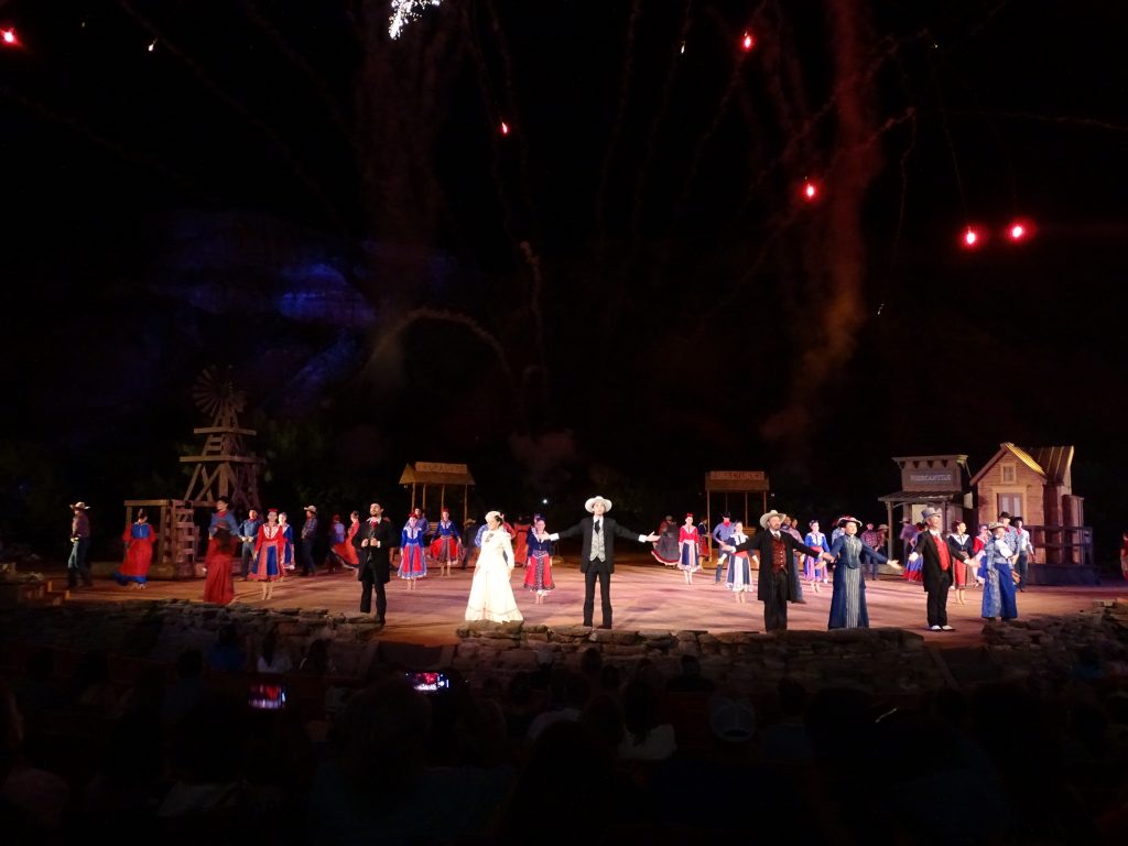
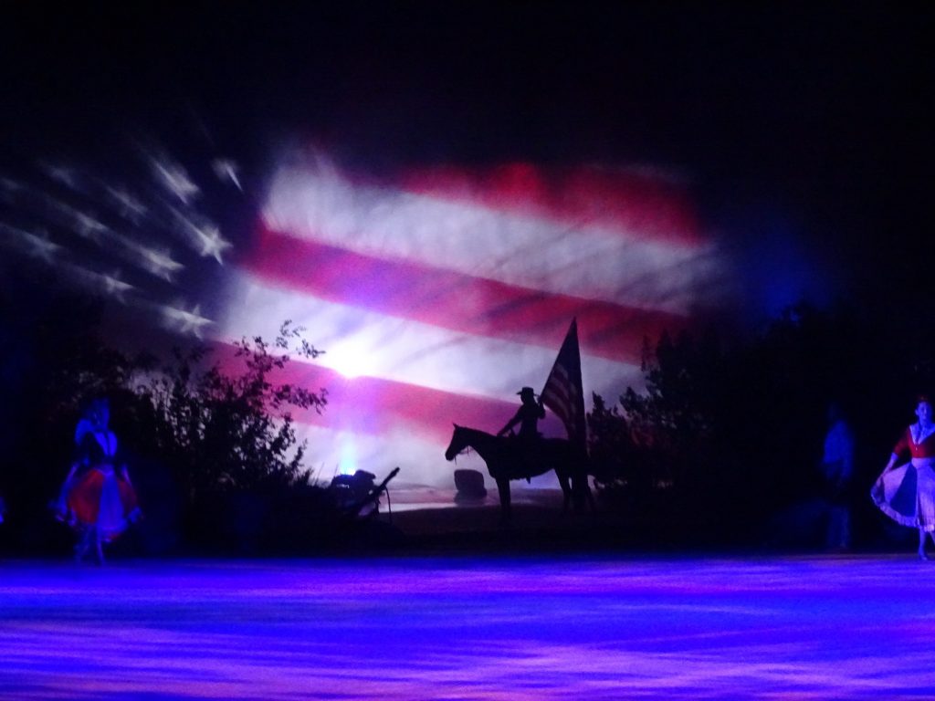
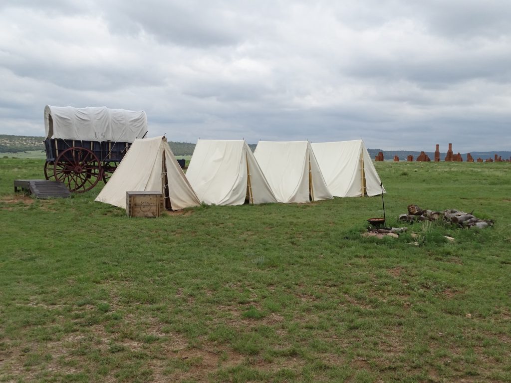
After making our way over the the Pioneer Amphitheater, our first stop was the Feldman’s catered BBQ line. They serve up supper every night that the play goes on, and the meal includes chopped brisket, pulled pork, and sausage, plus all of the fixin’s. Dining is al fresco under large covered areas, and with the breeze it was very pleasant. We had time to kill before the show, so we checked out the gift shop and listened to the pre-show entertainment. Then it was time for the main event, “TEXAS”. It all started with a story in Reader’s Digest, too! In 1960, local resident Margaret Harper read about Paul Green, who had created dramas about the histories of various regions in the US. She immediately thought such a show about the Palo Duro Canyon would be a great idea, and contacted the author. Ms. Harper was apparently right, because this is the 55th season of the Official Play of the State of Texas. It is a musical showcase of the history of the panhandle. Quanah Parker (played by the real Quanah Parker’s great, great, grandson), who was appointed principal chief of the Comanche Nation and a rancher, is represented. The characters also included Charles Goodnight and his wife, Molly . The town of Goodnight, right up the road, is named for Charlie, who was a Texas Ranger, scout of the Goodnight-Loving Trail, and one of the most famous ranchers in Texas history. The show started at 8:30 PM and went until almost 11PM, with a 15-minute intermission. It’s very elaborate, with great costumes, scenery, effects, horses, and a donkey all against the backdrop of the beautiful canyon wall. We would definitely recommend it if you are in the area. That was definitely the latest these early-to-bed people have been up in a while, though. LOL!
Panorama of Amphitheater
Grand Finale
Love It!
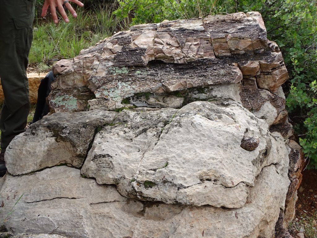
Wednesday we headed out about 8:15 AM to check out another cool place, the Alibates Flint Quarries National Monument. We were a little concerned when we turned north and saw dark storm clouds that appeared to be right over our destination. Thankfully, the storm was heading south as we were heading north, so by the time we arrived, the only thing left was a nice cloud cover. We checked out the Visitor’s Center, then headed out on our Ranger-led, 2-hour hike up to the top of the mesa to see the quarries. (Now you see why I liked that cloud cover!) It is a pretty amazing place. As far back as 13,000 years ago, natives quarried this flint, only found in this park and the adjacent private property. In New Mexico there have been mammoth skeletons unearthed with Alibates flint points embedded in them. Mammoths!! Too cool! This flint is incredibly hard, breaks in predictable patterns, is beautiful with a variety of colors, and has been found spread far and wide. It is believed that tribes who quarried it used it to trade with other tribes. In fact, pipes made out of rock quarried at Pipestem National Monument in Minnesota were found here, which seems a clear indication that trading took place. Our guide was very informative and even showed us how to shape the flint. This place is absolutely worth a visit, and the walk, while long, was a meandering and a slow rise, which would be easy for most.
Yup…Just Where We Are Headed…Ugh!

It Doesn’t Look Too Big Until You See the Road
Lake Meredith on the Canadian River Hasn’t Bloomed Yet, But Beautiful.
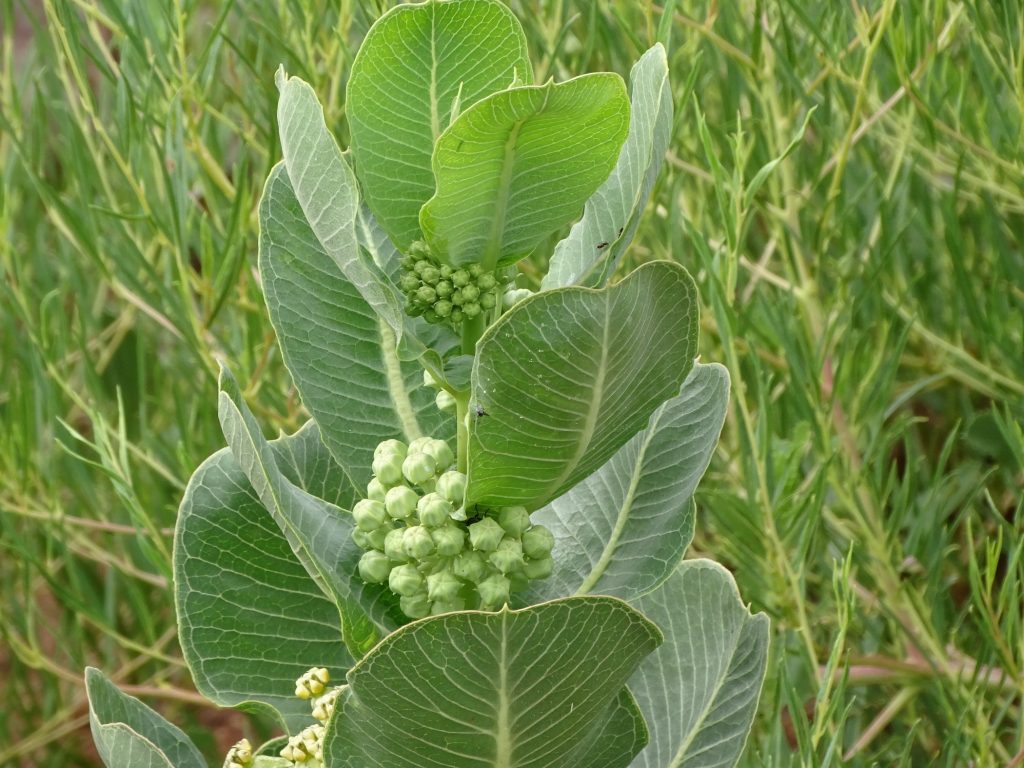
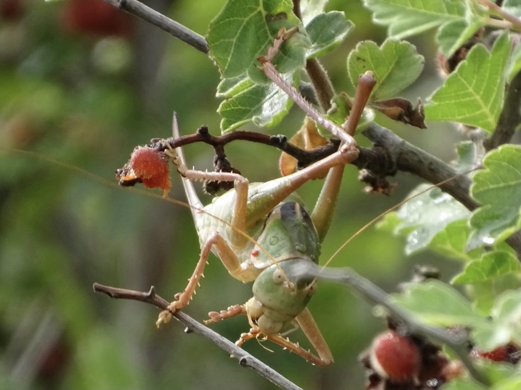
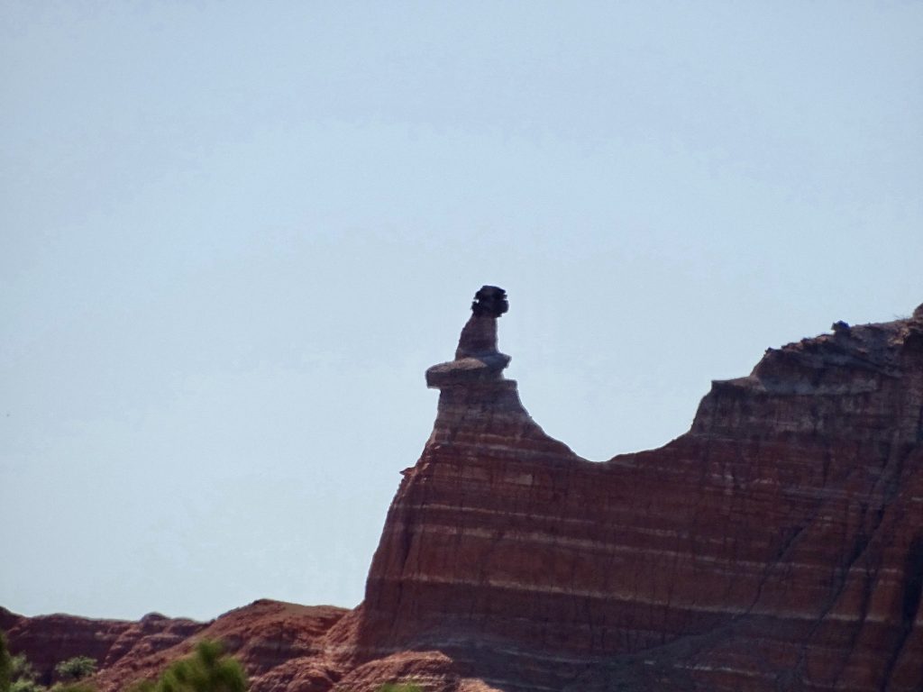
Anyone Know What It Is?
The Beginning of the Trail Vast Valley
The Flint is the Colored Stone
Dolomite is the Concrete Looking StuffMW and the View!
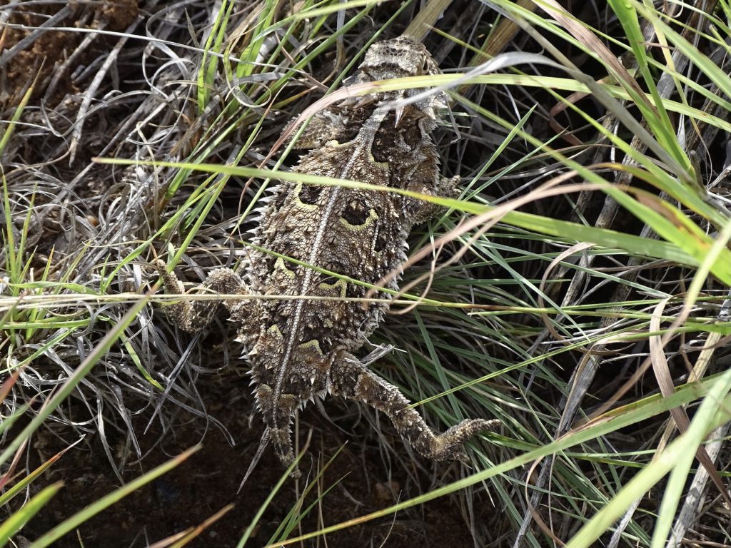
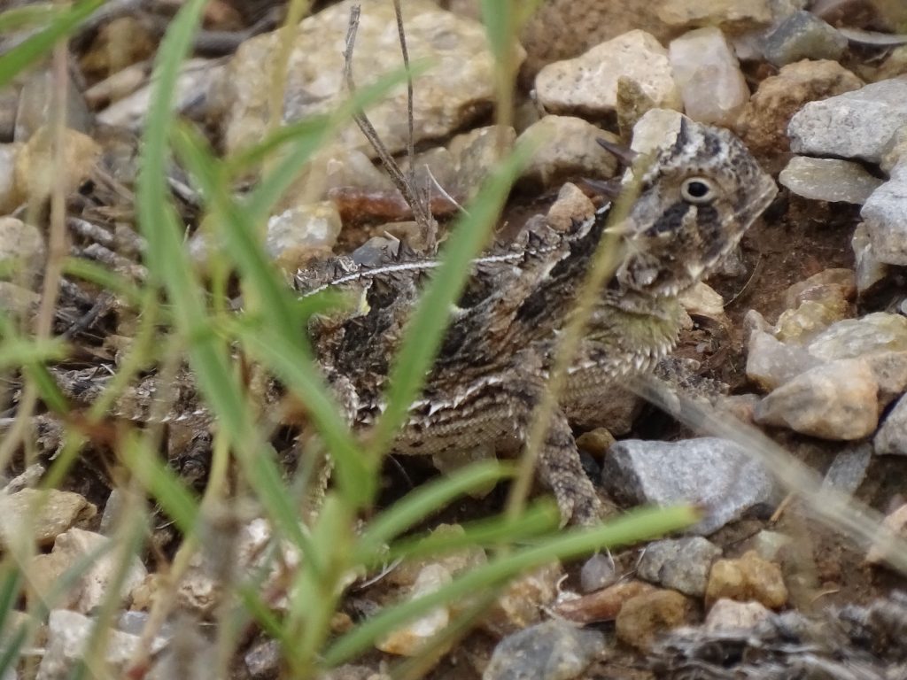
Texas Horned Lizard Juvenile
This Guy Was Huge! Love the Red Dirt
The Lake Can Usually Be Seen in the Valley, But it is Very Low
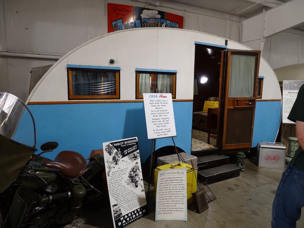
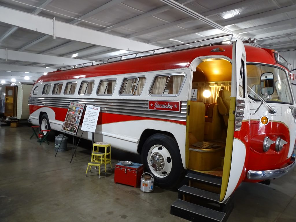
By the time we headed back to Amarillo, we needed food. Consulting TripAdvisor, MW found Coyote Bluff Cafe. A tiny joint that is rated as the second best place in town, it was pretty good. The menu is mostly burgers, but they will sub chicken for beef on any sandwich. MW had the Hickory Burger, and I had the same, except with chicken. Yum! It was so messy, though, that I ended up cutting it with a fork and knife. (I felt very British.) Next we headed over to check out the John Sizemore Traveland RV Museum. It was pretty neat and had RVs dating back to the 30s. The bus used in the movie “RV” with Robin Williams was there, too. After taking it all in, it was time to find somewhere to get a little work done before going back to the park. Heading south, we stopped at Braum’s in Canyon, Texas. My first exposure to Braum’s was when I was in Air Traffic Control school in Oklahoma City. That was WAAAAYYYYYY back when Jim Varney as Ernest P. Worrell was their spokesman. The character would later become famous nationwide in a TV series and movies. Back then, I thought it was the best ice cream I had ever had. Now, I think Blue Bell wins that prize. While I was working, it suddenly occurred to me that we had Amazon deliver packages to a drop point in Amarillo. Dang! We just came from there!! MW dropped me at a coffee shop with public wifi so that I could continue to work while he took my phone to pick up the packages (they needed the barcode). By the time he got back, it was time to head for the hills, literally. Back at the park, we watched a little TV, then turned in. At 9:30ish, there was a LOUD explosion. Thankfully, we had already been to see the show, and knew what it was. At one point in the play, a lightning bolt strikes a tree on the cliff behind the stage. It looks like they may string detonation cord down from the top of the cliff to a fake tree with explosives in it. The result looks very real, and is a deafening “boom”. It made me jump out of my seat at the play, and again at the RV. If we had not known what it was, after recovering from falling out of the bed and soiling my pants, we would’ve headed out to see if we could help with what was clearly some kind of disaster. Odd that they don’t mention it when you check in. I’m sure not everyone goes to the play the first night they are in the park.
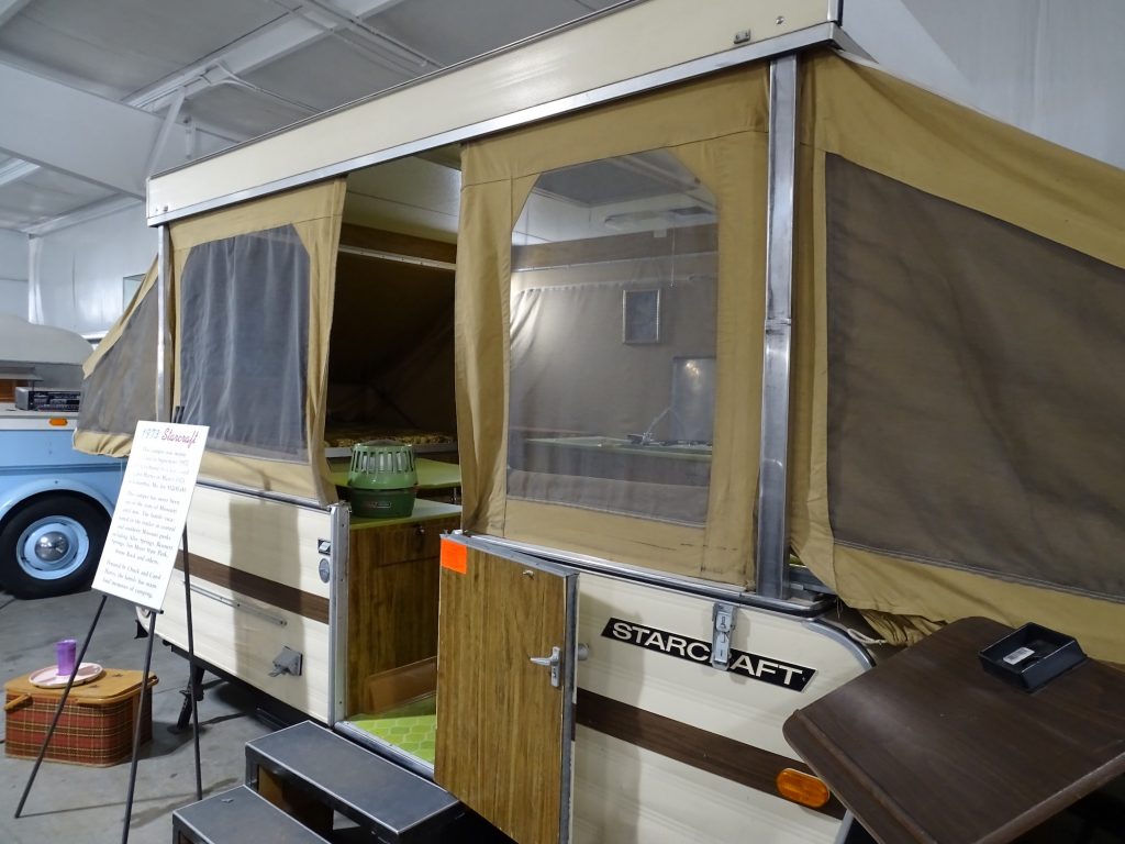
On Our List for Next Visit All Original 1936 Alma
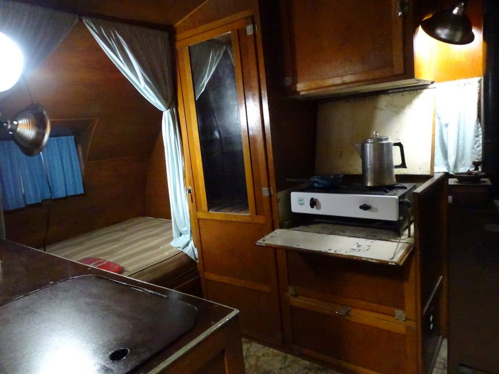
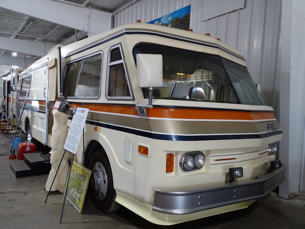
Unrestored Interior of Alma 1976 FMC
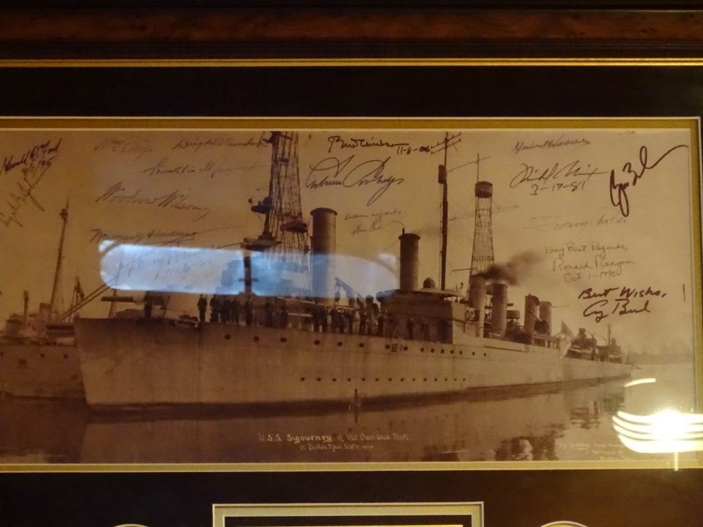
Reminds Me of My Childhood Signed by 17 Presidents
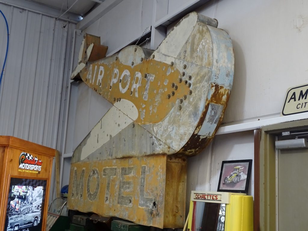
1941 Westcraft Interior Cool Old Hotel Sign

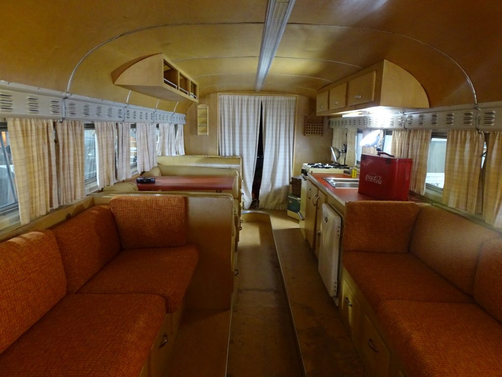
RV from the Movie “RV” Interior of “RV” Bus
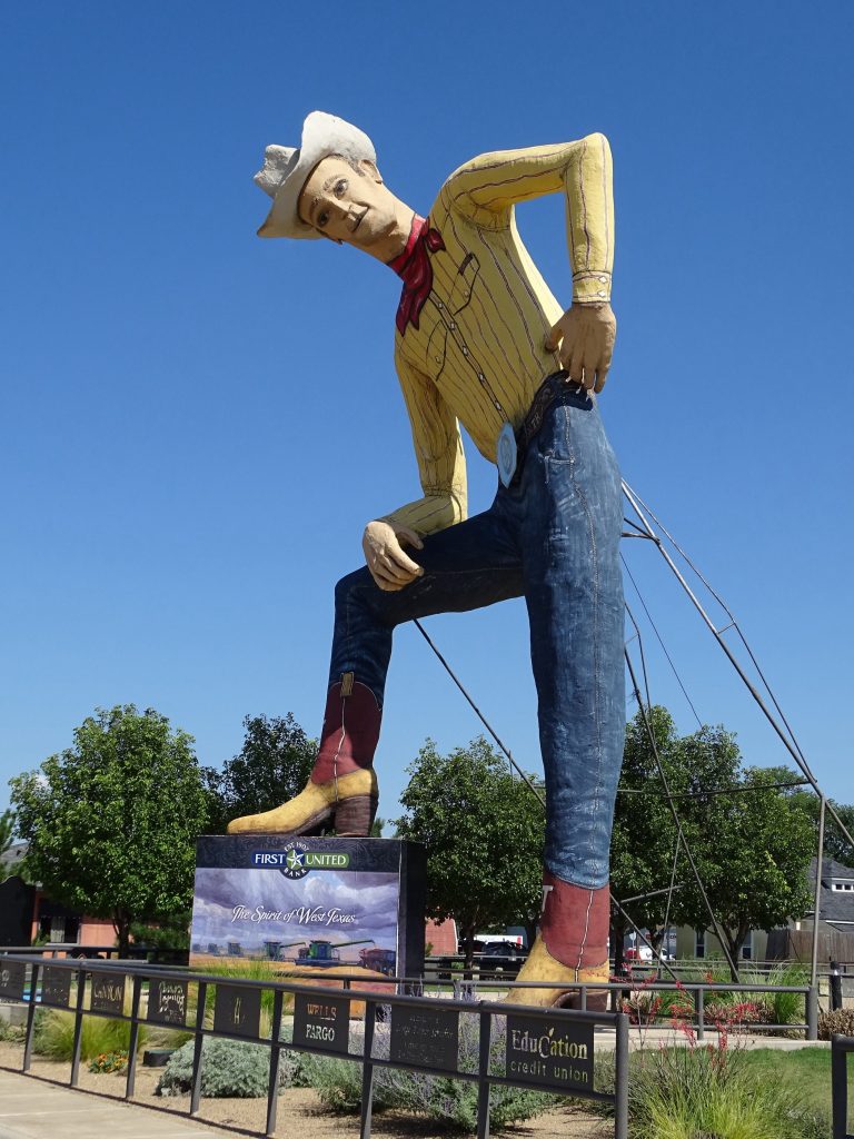
Reminds Me of the Old Big Tex at the Texas State Fair
Fake Lightening
Cord Runs From the Top Down the Path Behind the Tree Stump and KABOOM!!!
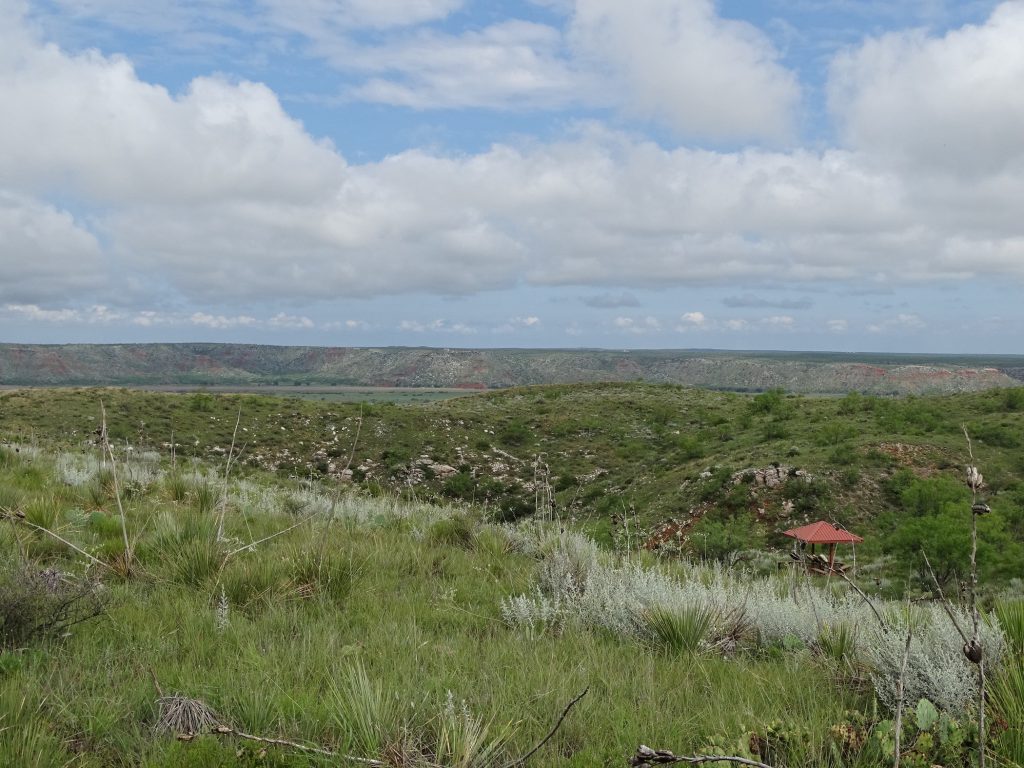
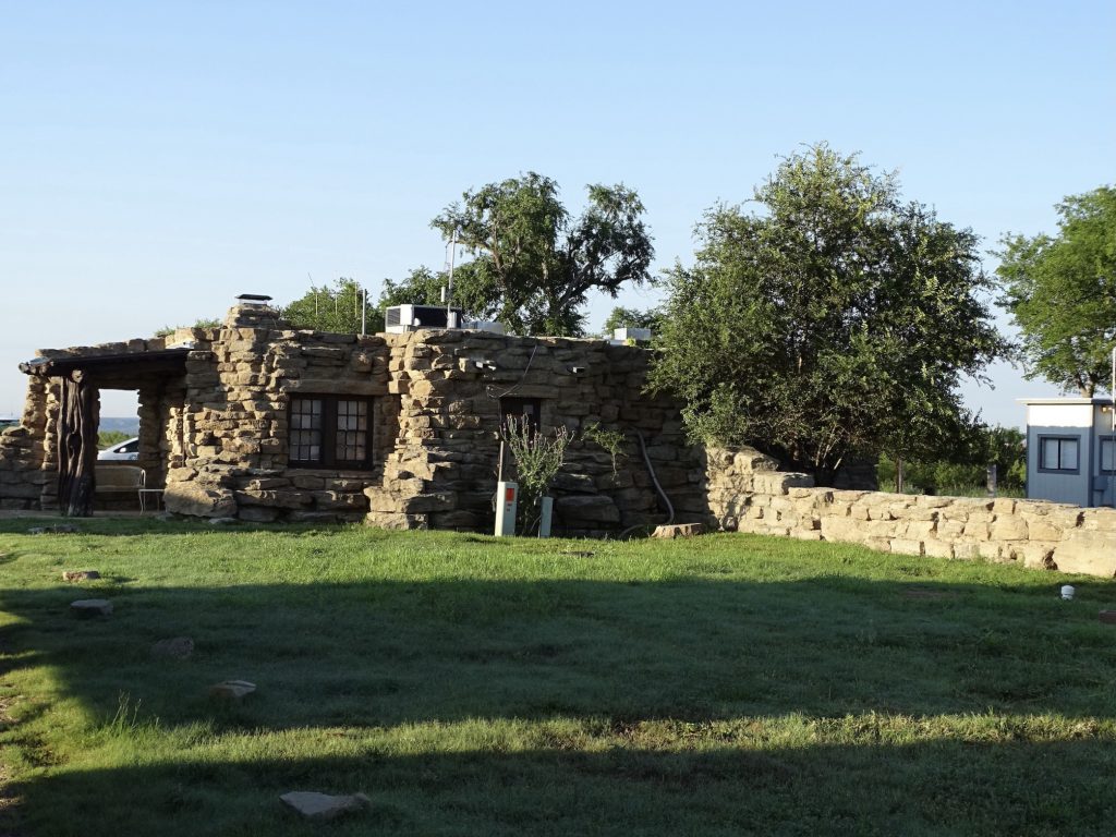
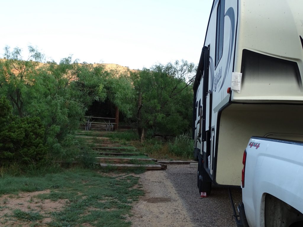
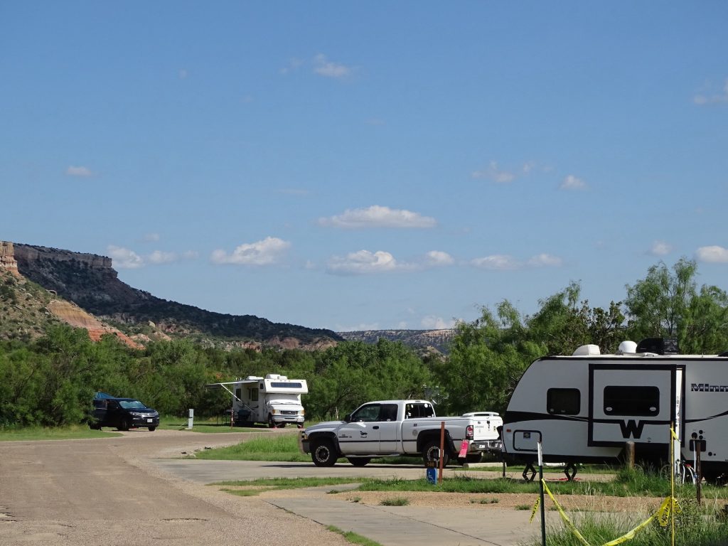
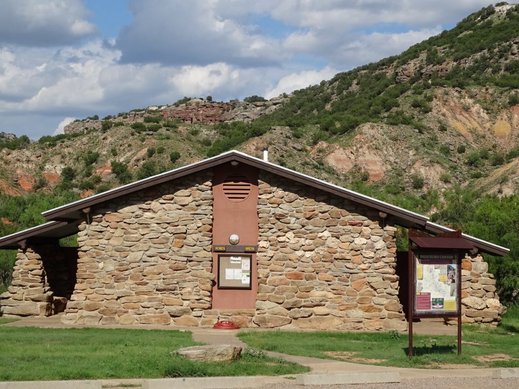
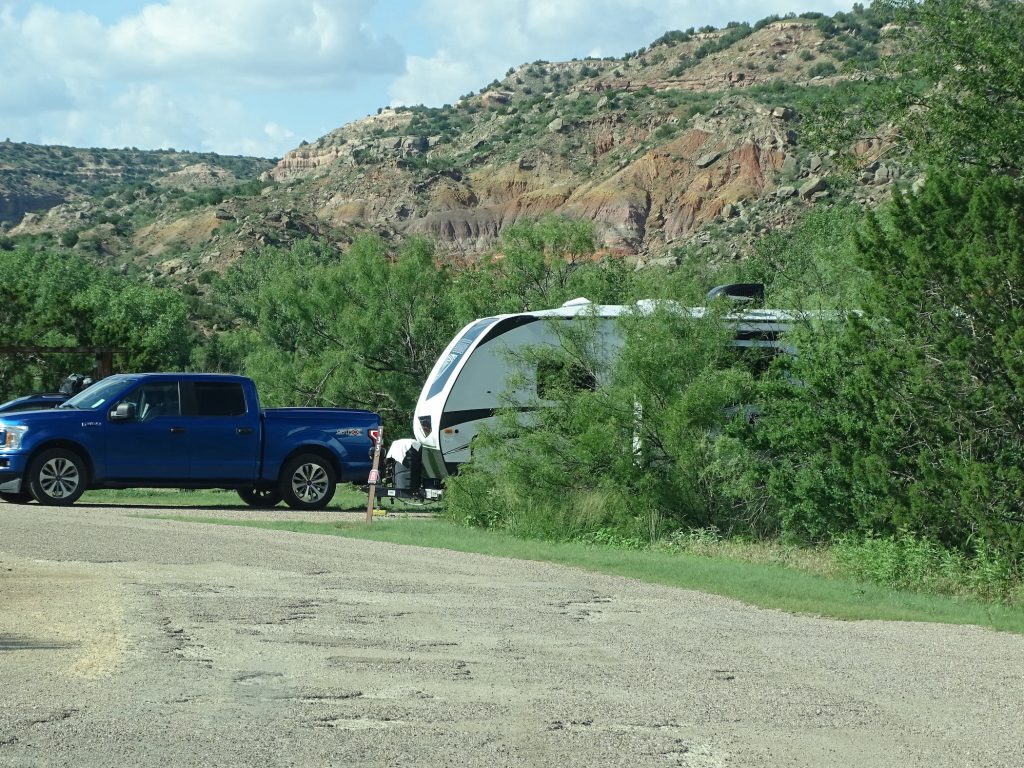
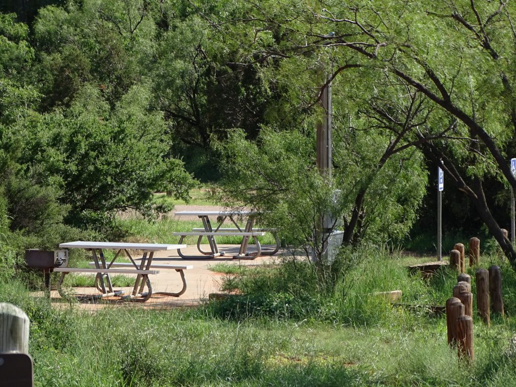
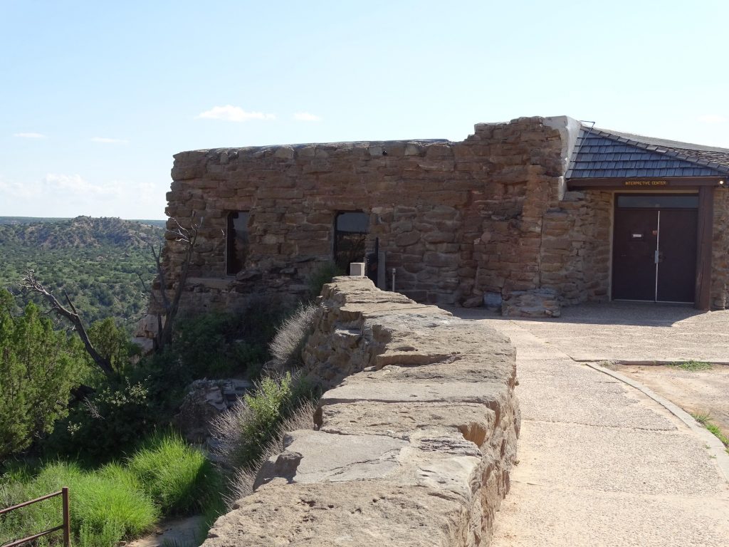
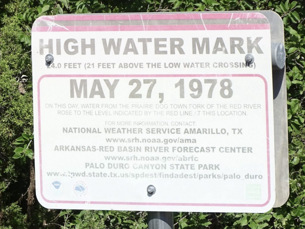
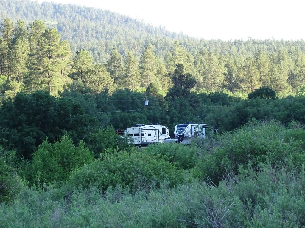
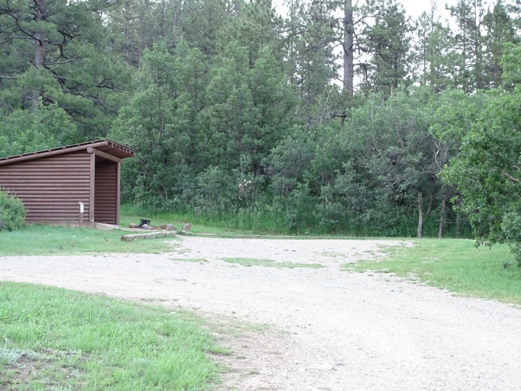
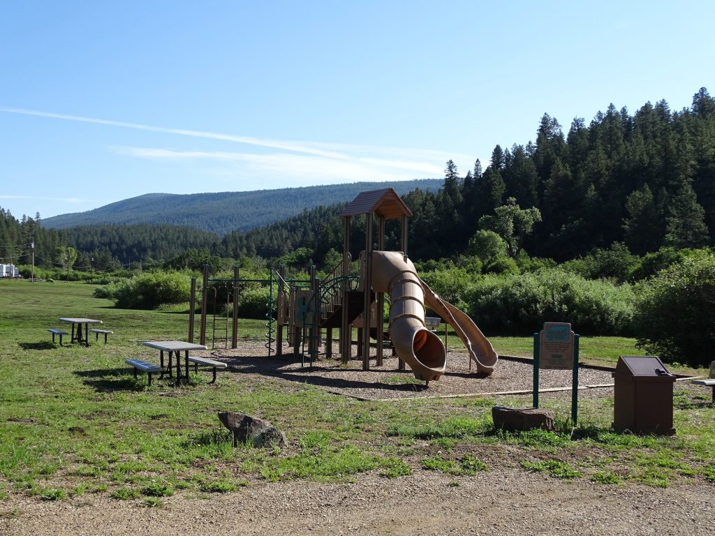
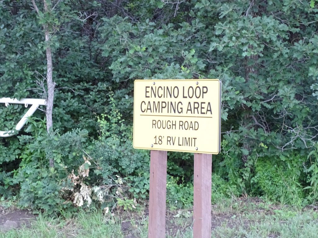
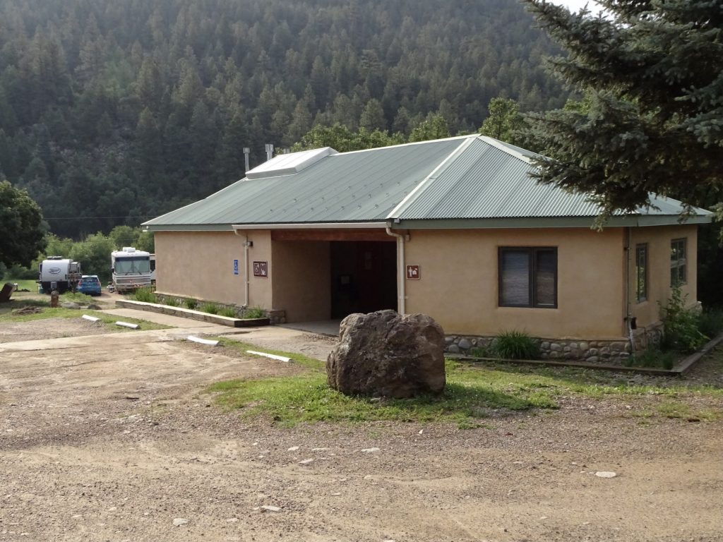
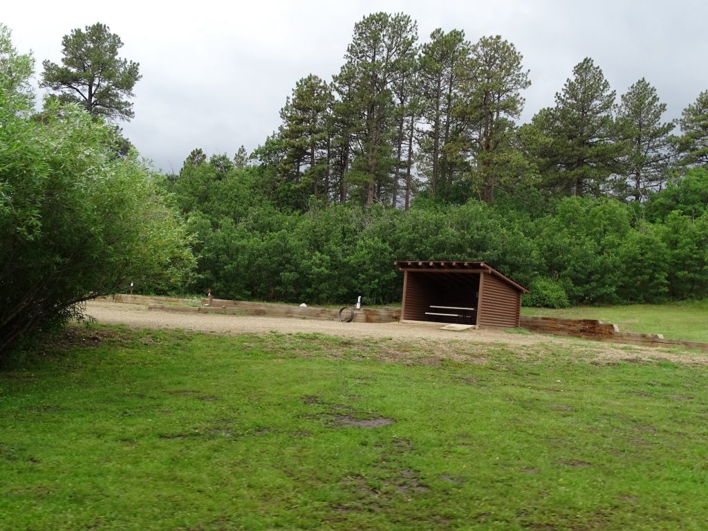
Palo Duro Canyon State Park is breathtaking and very popular. We arrived on a Tuesday, and all of the sites were booked. Located about 25 miles from Amarillo and 14 from Canyon, shopping, restaurants, and outside entertainment are easily accessible. As I said above, our site didn’t have water due to a main break, which we thought they handled the best they could. The park offers plenty of small picnic areas spread out in several locations, 35 miles of hiking/biking trails, equestrian trails, guided horseback rides, a museum, wildlife viewing blinds, a restaurant, park store, and of course, the amphitheater (play is seasonal). Or you can just pick a spot, stand there and enjoy the amazing, 360-degree scenery and listen to the birds. Accommodations include awesome cabins built by the CCC in the 1930s (with and without bathrooms) and a variety of camping opportunities, including backpack-in remote, equestrian, tent, youth, and RV sites. There are 136 campsites (19 pull-thru) spread through seven areas along 16 miles of canyon road, and they say they can accommodate “the largest of campers and motorhomes”. Sagebrush, Wolfberry, Juniper, and Mesquite have a combined total of 96 water and 30/50-amp electric. Hackberry has 33 water and 30-amp electric sites. Fortress Cliff and Cactus Camp are primitive with centrally located water. The bathhouse was clean, relatively updated, and not hotter than blue blazes, which was a pleasant change. Oddly, the map shows a bathhouse with toilets at all of the electric camp areas, but doesn’t even show a vault toilet at the two primitive ones. NOTE: Several spots along the park road flood during heavy rains and may be impassable for short periods, but none of the sites flood. Both the Sagebrush and Hackberry areas are before those creeks. The roads in Sagebrush were a little rough, but not terrible. As with all Texas state parks, there is an entrance fee of $8 per day for 13+. (The annual pass for $70 eliminates that fee and discounts the camping rate, too.) The electric sites are typically $26 per night. For this stay in July 2021, we originally paid $39 for two nights with the discount. After the water issue, they credited back half, so it ended up being $19.50 total. FYI: There was NO cell reception at all in the canyon. They said there was wifi at the pavilion, but it didn’t appear to be working when I was there. We got plenty of over-the-air TV stations, though.
Cool CCC-Built Entrance
Totally Amazing In Every Direction
At the Amphitheater From Our Campsite
View from Our Site Our Site – 143
Sagebrush Camp Area Bathhouse
Site Picnic Area
I Could Look at It All Day! Visitor’s Center
Amazing How This Happens Can’t Get Enough!
That Dirt Doesn’t Seem Sturdy Enough Look at That Color

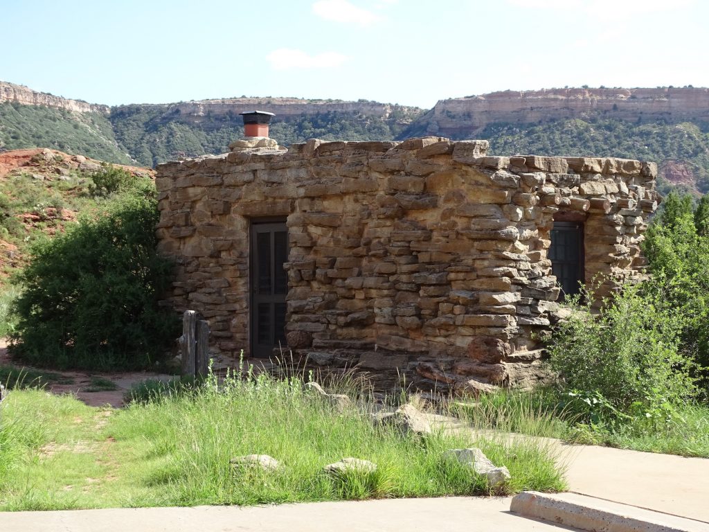
Cow Camp Cabin Built by CCC (No Bathroom) Another View
The Sign Perspective
One Last Look
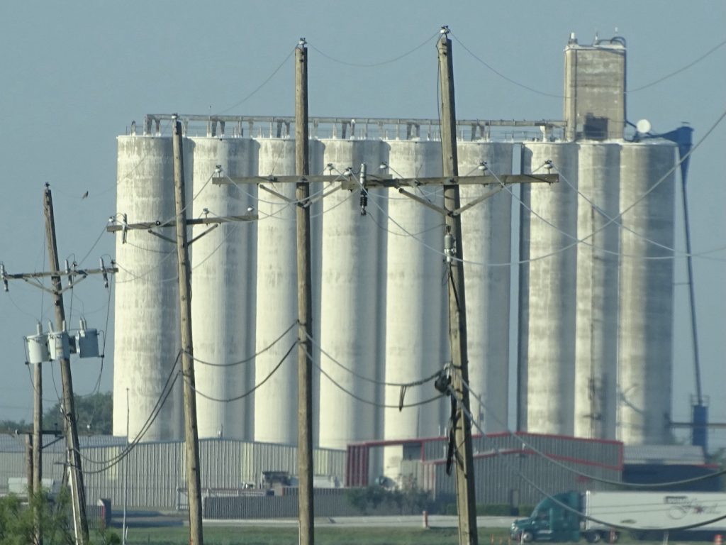
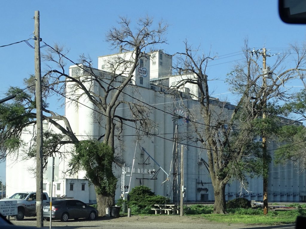
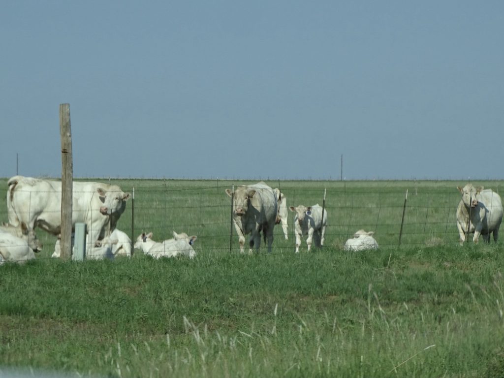
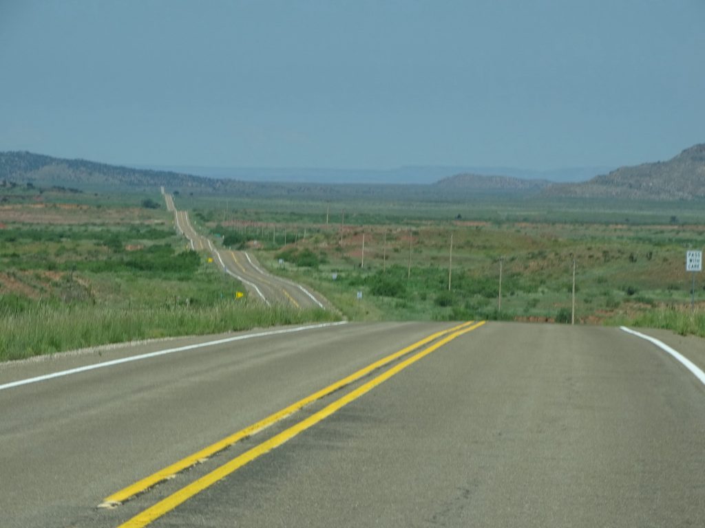
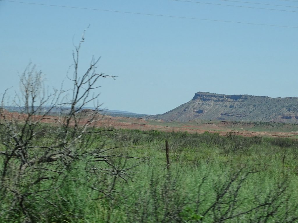
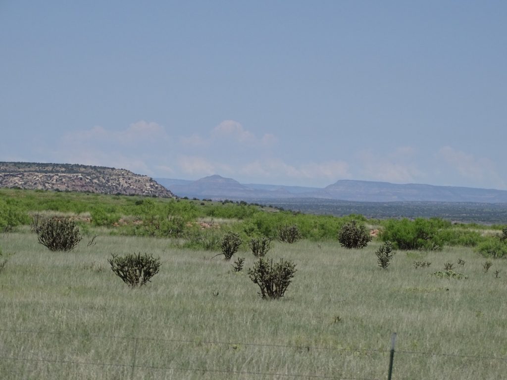
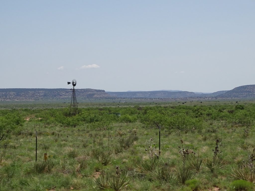
Thursday was going to be a long driving day, so we hit the road early again heading back through Canyon, Texas, to pick up US-60 west. Oil wells are virtually gone now, although there is the sporadic pump. They have been replaced by huge grain elevators, although not as many as the heartland. At Hereford (the Hereford Beef Capitol of the World), we turned onto FM-1068. Just west we started seeing and smelling feed lots. They were dotted around the landscape, and if you’ve never smelled one, don’t rush right out to try it. Peeeee-ewwww! As soon as we left the Palo Duro Canyon area, the land reverted to flat, wide open grasslands with lots of cows. It is always funny to me that cows can have thousands of acres to roam, but will often stand right next to the fence. MW says it’s a “grass is greener” thing, but I just think they like to people watch. At the New Mexico state line, the road became NM-241, and we crossed into the Mountain Time Zone. At Broadview we continued west on NM-209. Just before the road turned north to Tucumcari, we came upon another steep grade sign. A little further along, the land dropped off again, and we were in rolling hills with mesas in the distance. In the grasslands we saw a few pronghorns, and later, MW noticed things crawling across the road. Turned out to be millipedes…LOTS of them! Strangely, it was a section of road only a few miles long just south of Tucumcari. If you plan to move there, I recommend the north side of town! Also, get your lungs in shape, because although we had been traveling mostly in the flats, the elevation was almost 4,100′.
Canyon Grain Elevator And Hereford
Near Broadview Just Hanging Out Watching Cars Near Grady, New Mexico
9:02 AM 30 Seconds Later
Just South of Tucumcari Why Did the Millipedes Cross the Road?
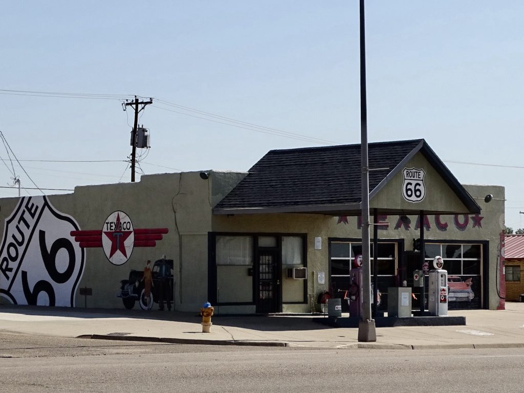
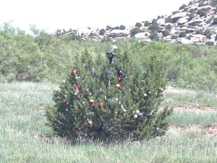
It was time for a break, so we found the Kix on 66 diner for a little brunch. It was good breakfast fare, and we both needed to be out of Brutus for a bit. The original Route 66 ran through town, and that strip is exactly what you would expect on the Mother Road…lots of diners, small motels, and tourist stuff. Much of it is run down now, but it isn’t hard to imagine it in its heyday, all neon, bright colors, and adobe. It would have been so cool to drive that road back then! Back in the truck, we went northwest on NM-104. The land was now slightly rolling, and you could see the mountains in the distance. Near Variadero, we passed a random Christmas shrub in the middle of nowhere. (We’ve passed random trees with shoes and skulls, and other things. Most are in the middle of nowhere, and I always wonder how they got started.) South of Trujillo, we climbed up to the high plains, where the fields were still rolling, but now filled with grass and cactus.
Adobe House Station on the Old Mother Road
Check Out That Road!
Mesa Those Clouds in the Distance Are Our Destination
Christmas in July Beginning the Climb
Looking Back at the Top West of Trementina- Grass & Cactus
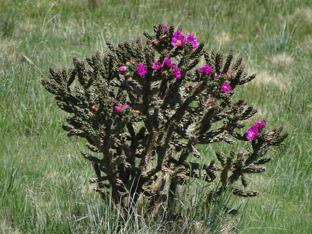
Getting Closer to that Cloud Bank Cholla Cactus in Bloom
Just Outside of Las Vegas Looking North Pronghorn
In any of these wide-open, western states, you really have to pay attention to your gas gauge. It’s not like Tennessee, where I can run my tank down to practically nothing and pop in for a fill up. There are many places where there is no gas for a hundred miles or more. Case in point: We were about 25 miles west of Tucumcari, New Mexico, when a sign showed a picture of a gas pump and said “74 Miles”. We know what to expect, so we gas up at just about every town we come to that has pumps. For the unfamiliar, however, that sign would have been much more helpful placed near the last gas station. There isn’t a lot of traffic on these roads, and if you run out, you could be there for a while. Plus, it’s darned HOT in the summer! That’s also a good reason to keep water in your car. About 25 miles short of Las Vegas, New Mexico (the next fuel), there was a young man on the side of the road. We stopped to see if he was okay, and he said his wife had gone for gas.
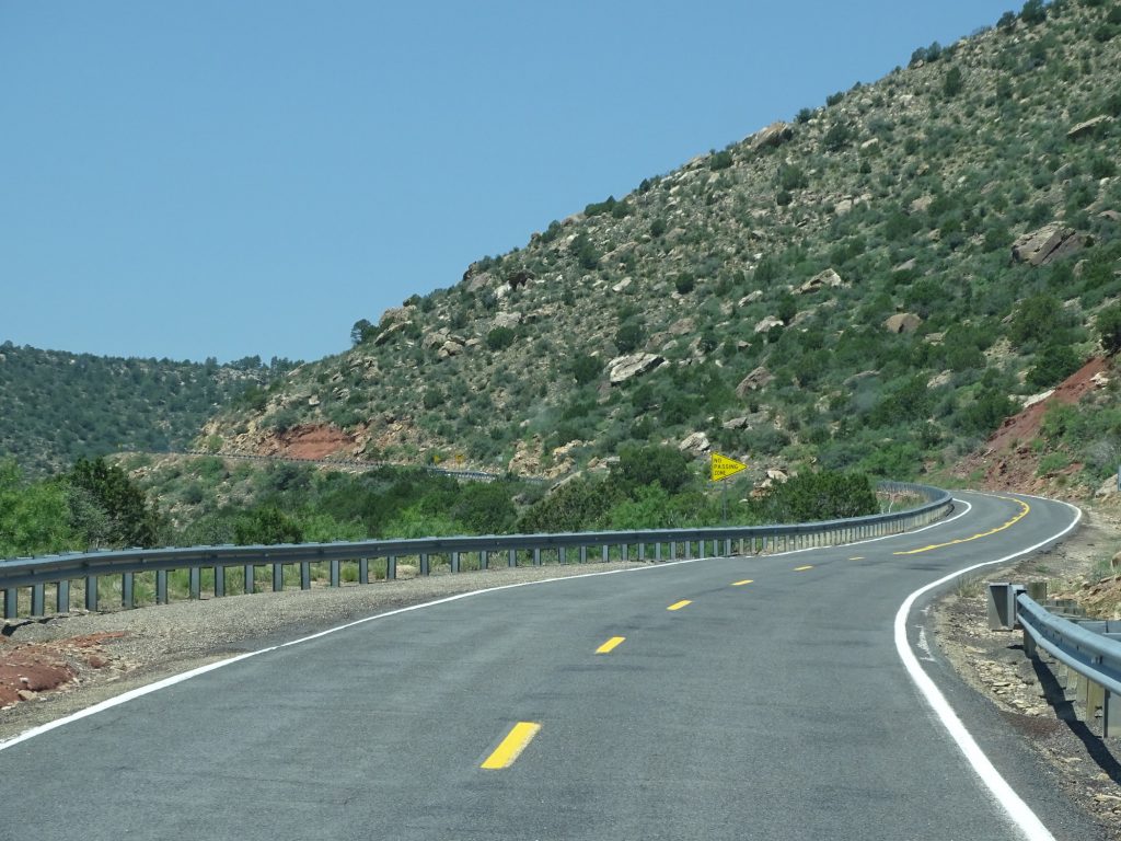
At Las Vegas we made a fuel stop, then found a Lowe’s Market to walk around in and pick up a few groceries. We still had another hour or so to go, but we were both pretty tired. I checked the weather for our new park, and found that it was high 70s to mid-80s for our stay. The best part, though, was that at night it was dipping into the low 50s…windows open weather! Yay! We got back on the road, headed for those high mountains, taking NM-518 and NM-434. The roads got a bit more rugged and curvy as we climbed. Honestly, New Mexico must have gone to the same road building/maintenance school as Arkansas, Oklahoma, and Louisiana. We were bounced around pretty good all day. The scenery was beautiful, though, and as it always does when I get into mountains, my heart sighed.
Coming into Las Vegas
Love This Building in Las Vegas Things That Make You Go Hmmmmm!
Is That Snow? Just Beautiful!
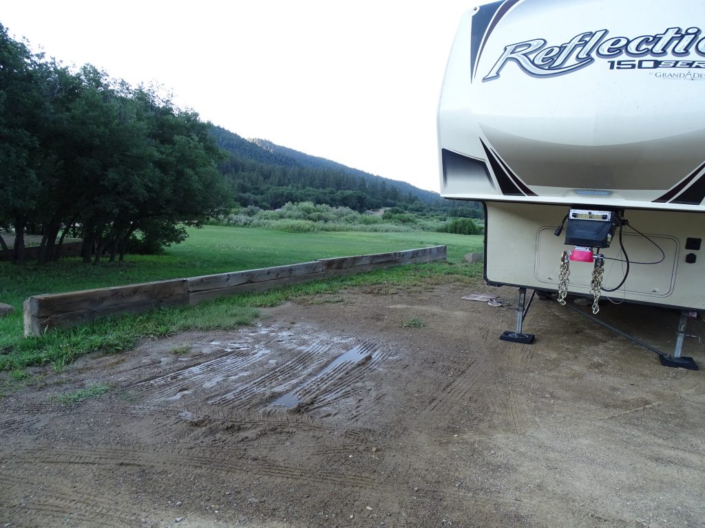
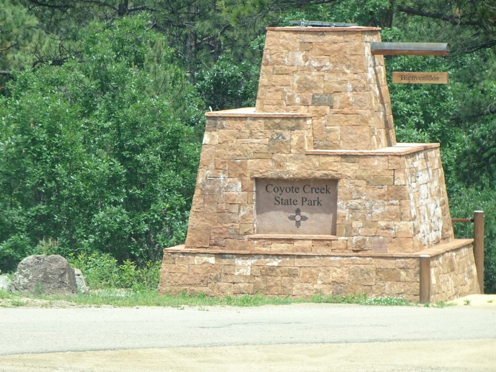
We arrived at Coyote Creek State Park at around 2:30 PM MDT. Oh, and we finally caught up with those clouds, which started to sprinkle just before we got there. I was ready to jump on getting her set up to beat the potential heavier rain, but it was going to take a little time. The camp host showed us to our site, and the entire back half, no exaggeration, was a mud hole. He said they had gotten so much rain that the spring uphill was sending water down through the site. No other sites were available, so we figured out the best place to put Petunia and got to work. Of course, you know the site wasn’t level, either, so I had to get the levelers to work in the mud. Ugh! The tires sank in about an inch or so and left little tire track puddles to work in. My shoes were covered by the time I was done. Our setup procedure is to hook up the electric before we unhook her (just in case it doesn’t work), then get her basically set up, then hook up water (although we do check when we pull in that water is there and runs). With the rain and the mud issue, neither of us saw the sticker on the water post that said the water is not drinkable. WTF????? Yes, I did say that out loud. Sorry. That just seems like a little bit of info that the camp host would have given us before riding off in his little cart. He came back by a few minutes later with the guy for the site across from us, so I had a chance to ask about it. Turned out that the excess rain caused there to be sediment in the water. Well, heck, that’s okay. We have filters for that. Whew! Finally set up and just a little wet, I was pooped. The rain only lasted for a few minutes, though, so that was good. We watched part of “John Adams” (the mini series from 2008) and turned in. We were able to open the windows and turn on the vent fan instead of running the a/c. My favorite way to sleep!
Soaking Puddles All Over the Back and
The Picnic Table is Sitting in WaterParked as Far Forward as We Could and At Least There Was a Gap in the Mud at Our Door
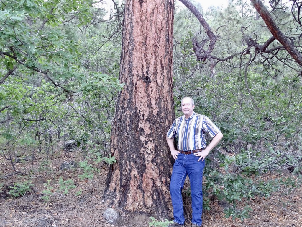
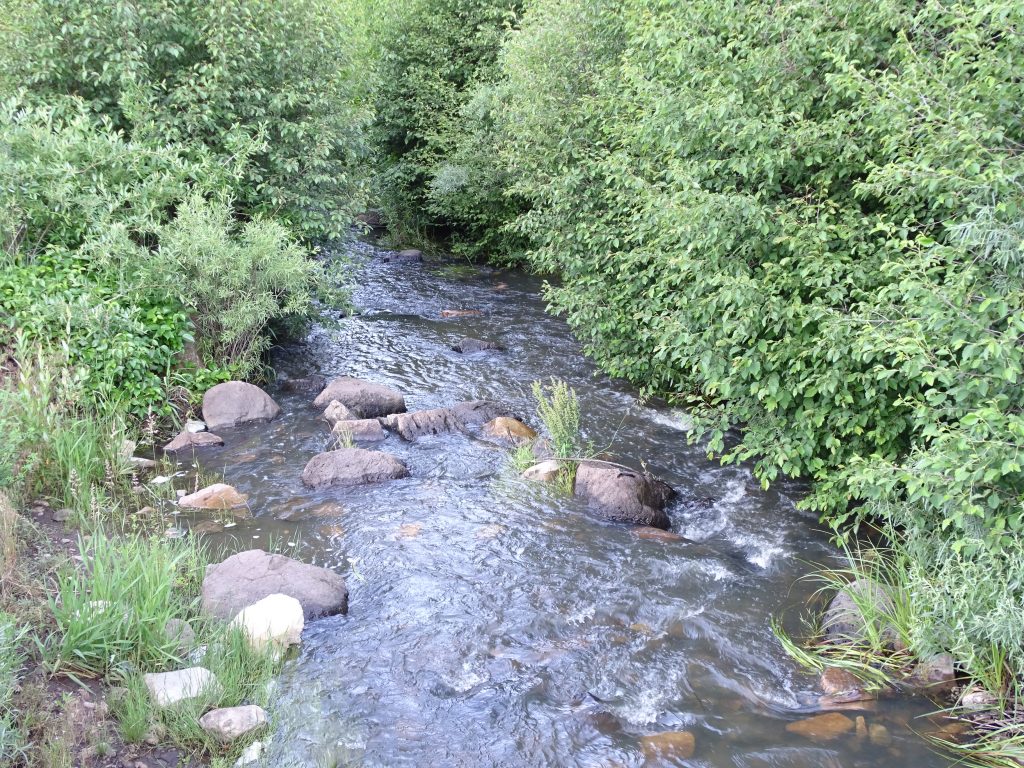
Friday morning I woke up with the birds at 5:30 AM, but had slept like a LOG. The sun wasn’t up, but it was already bright (the result of being in the eastern side of the time zone). It was about 60 degrees in Petunia, which is perfect for us. I started the morning with a little writing, then MW and I took a nice walk in the cool air…so amazing in July!
HUGE Pine Tree With Red Bark – Beautiful! Trout Stream
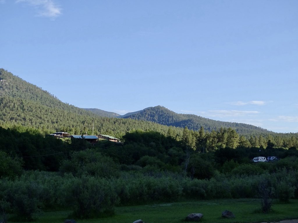
See Petunia on the Right?
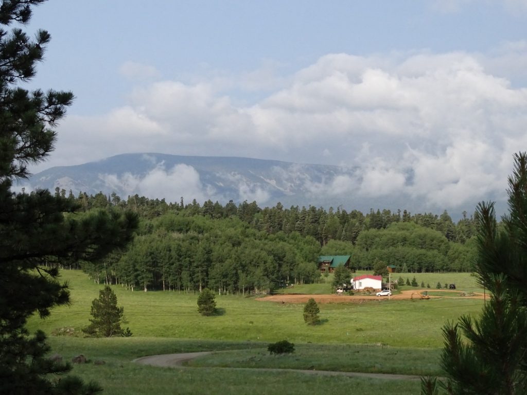
After getting cleaned up, we headed out to find a laundromat and lunch, and look at the views. Continuing north on NM-434, we headed over to Angel Fire. The road takes you through a giant valley that is part of the Mora Land Grant, and there are several signs to let you know. Although settlement began in the Mora Valley in the early 1800s, few wanted to brave the Apache and Comanche raids to come. In order to establish some stability and encourage settlers, Governor Albino Perez granted 76 families a total of 827,621 acres, roughly 1,250 square miles. It worked, and several generations later some of those same families are still ranching in the beautiful valley between the foothills of the Sangre de Cristo Mountains on the west and the beginning of the high plains to the east. There were several of these types of grants made by the Mexican government, and as you drive around New Mexico, you will see signs for entering and leaving those lands.
Mora Land Mora Land
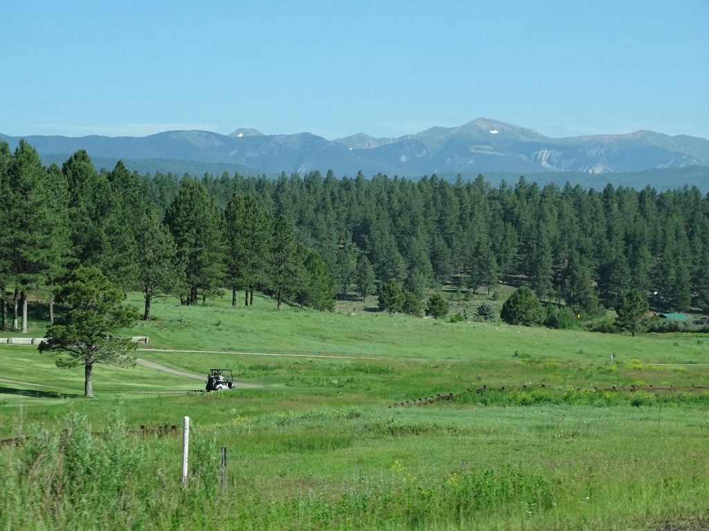
Golf Course in Angel Fire, New Mexico Not Sure What, Except Pretty
Just Spectacular
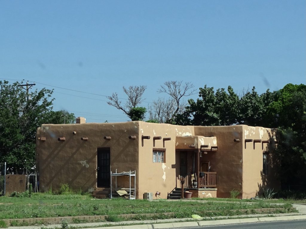
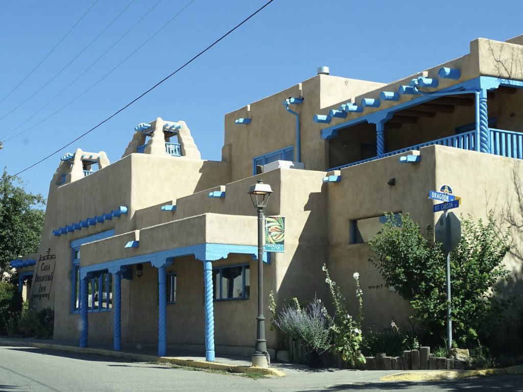
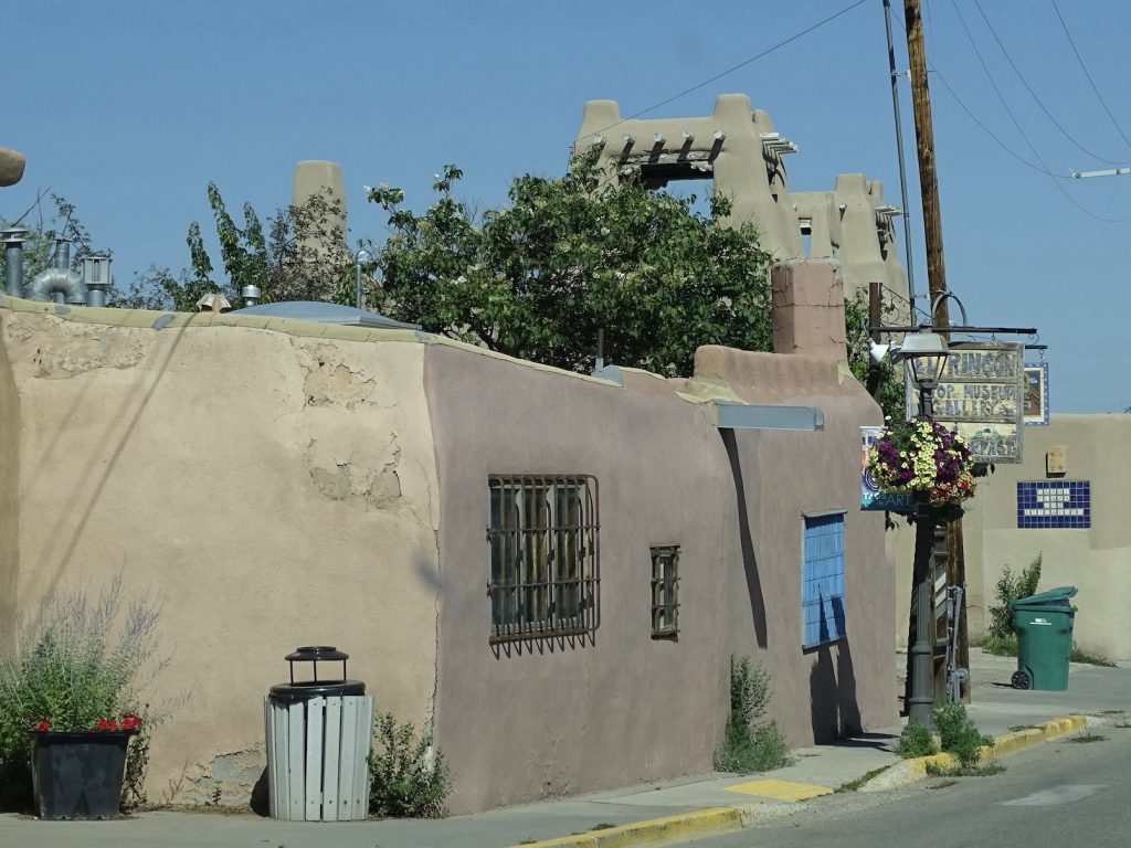
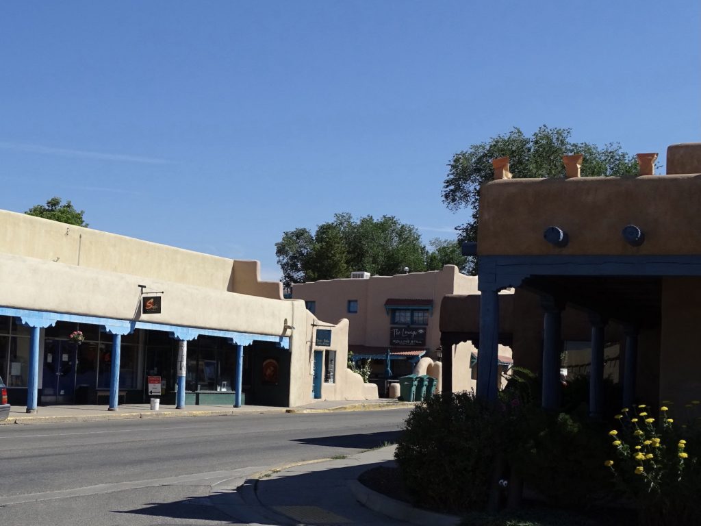
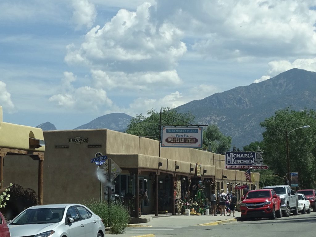
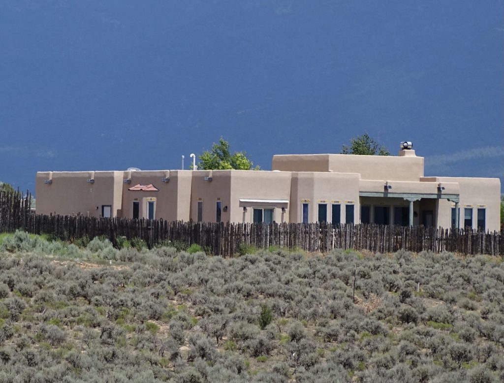
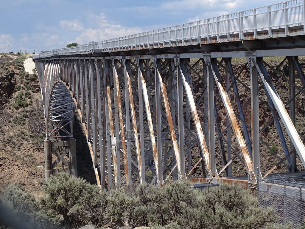
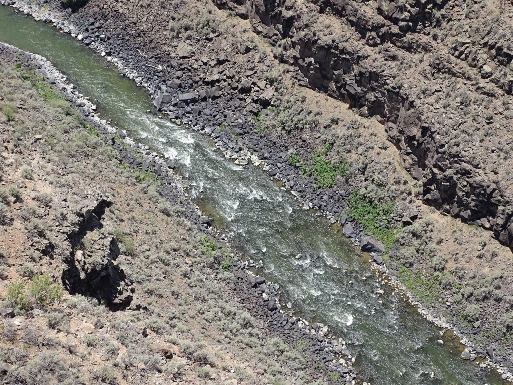
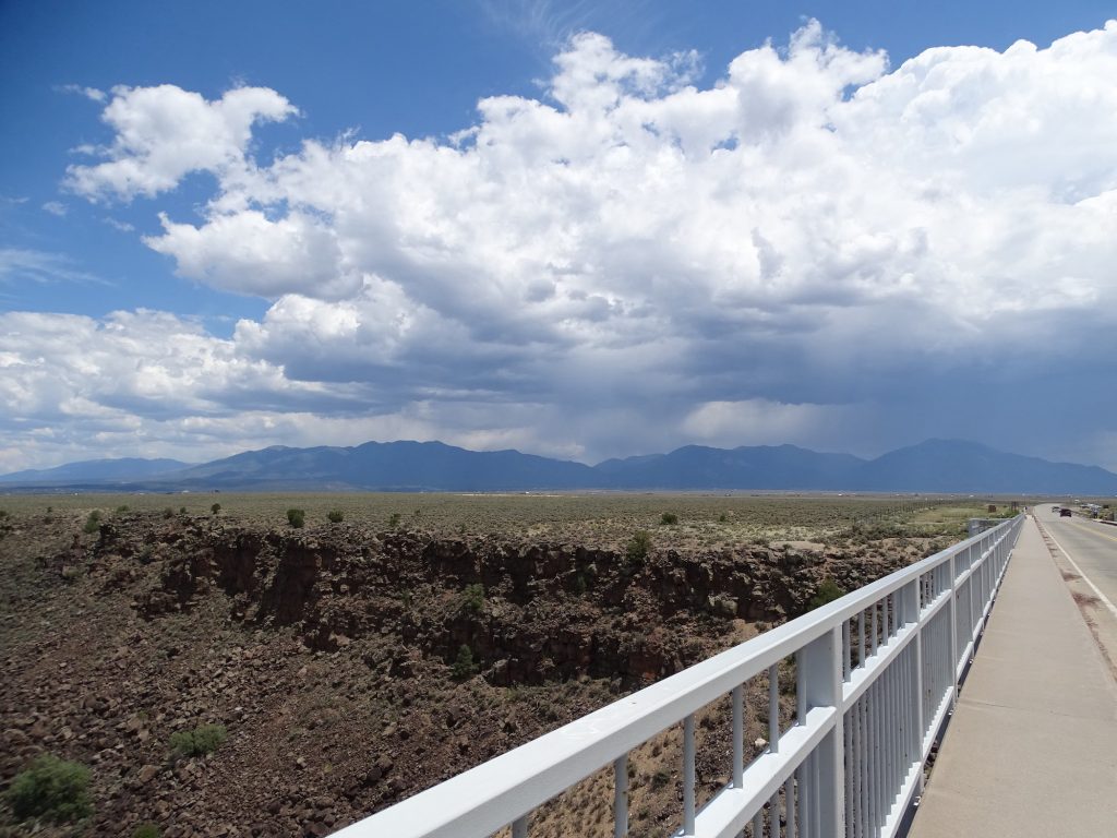
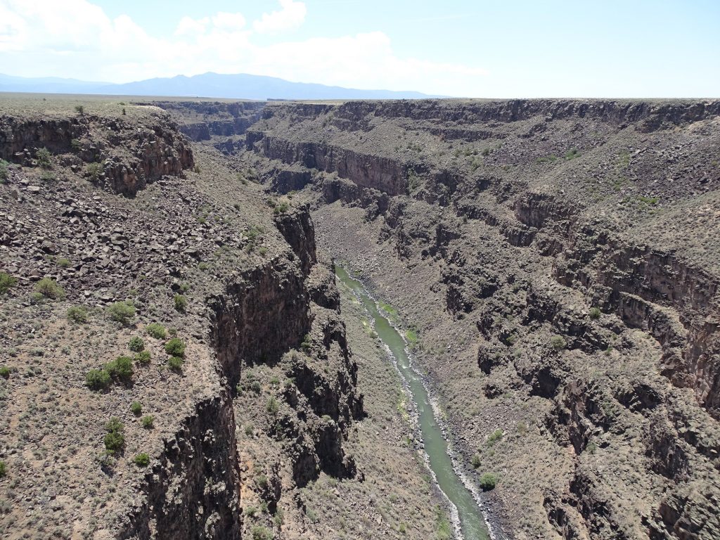
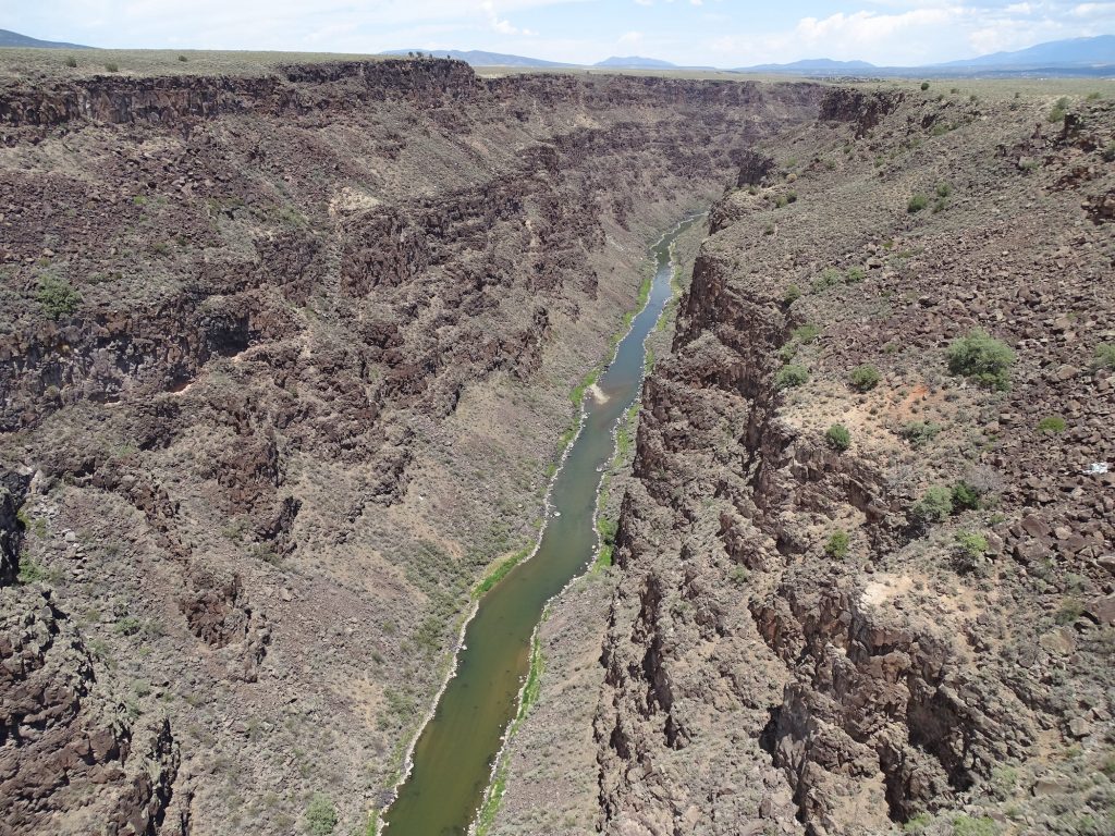
At US-64, we headed west over to Taos. We drove this route on our great Texas-New Mexico road trip many years ago, and it is quite beautiful. Then Taos seemed more like a quaint little tourist town with awesome, southwestern architecture, and I was really looking forward to visiting again. In town, we went to the Spin & Sparkle Laundromat to tackle chores first. It went fast, and our next stop was lunch at Michael’s Kitchen Restaurant and Bakery. The service was slow, but they had a sign warning of low staffing. MW had The Roadrunner, and I had the Chicken Breast Sandwich. His was really good. Mine had green chilis on it, which I envisioned being just a few when I read the menu, but they were actually layered on thick, making it too hot for me to eat. I scraped most of them off and added a little ranch dressing from my salad, which cooled it down to edible for me. The chicken was still a little dry, though. My side salad, however, was very fresh and nice. My plan was to walk around a bit, and check out the shops, but it was just wall-to-wall people and cars. One thing we didn’t remember from our last trip, too, was a lot of bars on business windows. We opted to head west on US-64 to check out the Rio Grande Gorge Bridge. When we approached Taos from the east, it is all mountains and curves. As you leave town on the west side, it becomes a valley of rolling grassland. That is, until you get to the gorge. It is amazing to look down and see the river. I’m sure that, down at the water level, it is plenty big. From the top, though, it doesn’t look like it could be responsible for this giant cut in the valley. The bridge was completed in 1965, and has sidewalks and observation platforms out over the gorge. We walked out to take a look. As you can tell from the pics, it’s deep. Apparently suicide has been an issue, but preventive measures cannot be added to the bridge without compromising its structure. So they added call boxes for the Crisis Hotline. We didn’t stay too long, because it was pretty hot in that valley and storms were heading our way.
Love This House
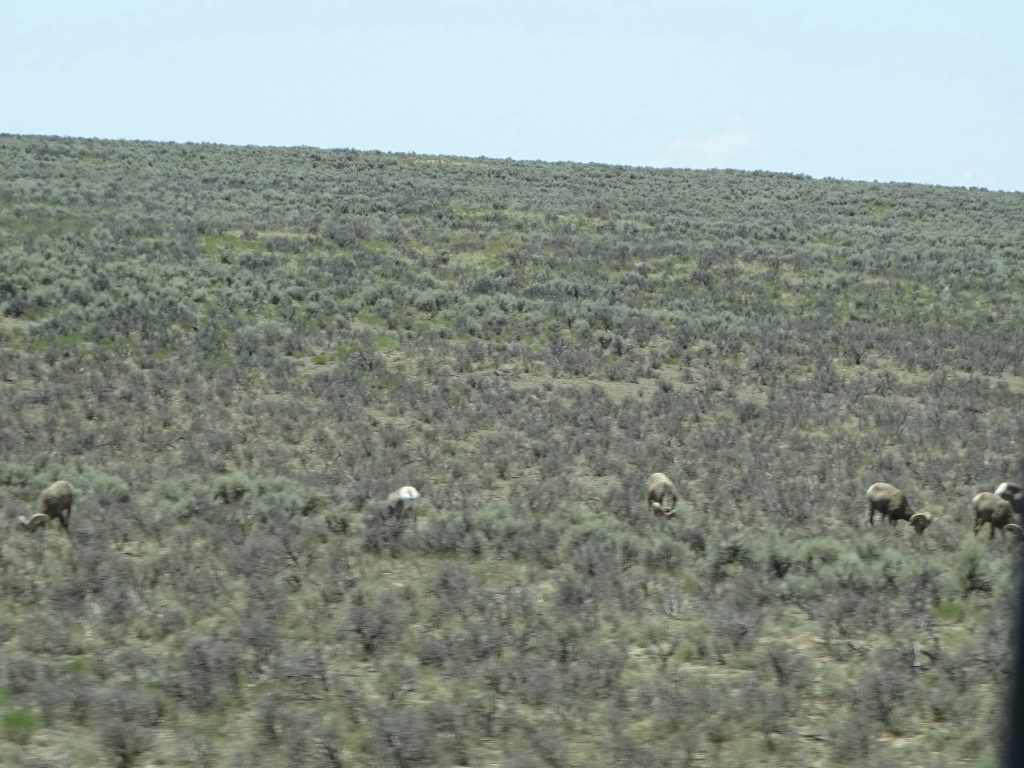
Big Horn Sheep Rio Grande Gorge Bridge
The Rio Grande Looking Back Towards Taos
South North
Uh-oh…Time to GO!
We started back, skirting the south side of Taos, enjoying some more adobe houses. Then it was over the mountains, this time taking NM-518 through Penasco to Mora, then up NM-434 to the park. The rain never really caught us, although we did get a little bit later. I spent some time working, then we watched some more of “John Adams”.
Blends Right In Blurry, But Dang!
Yep, That’s Where We Are Going
Saturday was a lazy pajama day. Well, not really. I worked and did some writing. I was just too lazy to put my clothes on. LOL. This little valley has stayed relatively cool for the middle of July, and we are really enjoying it.
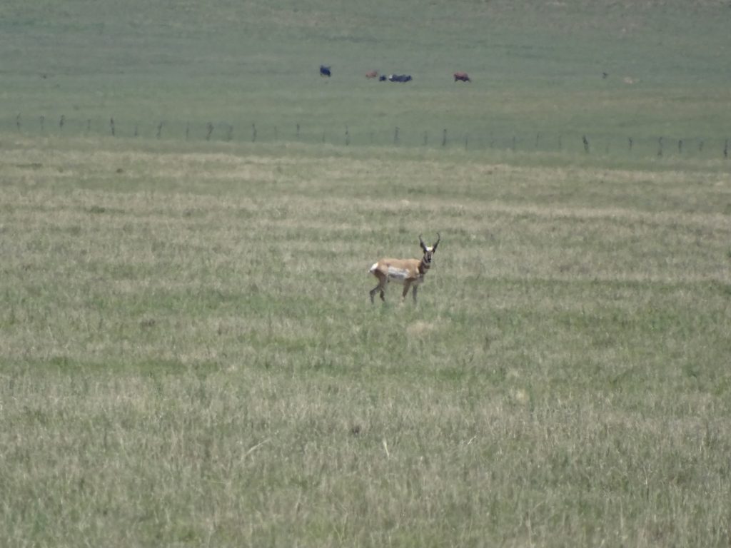
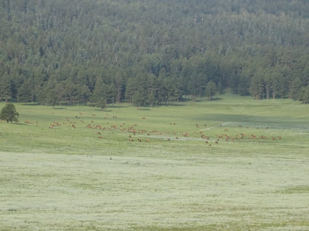
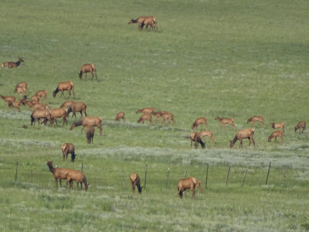
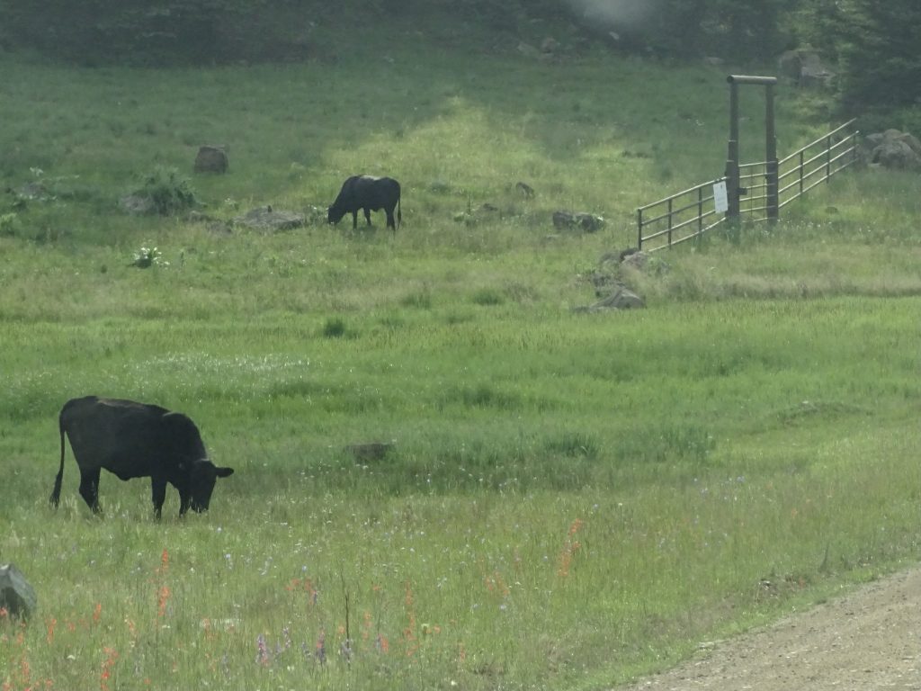
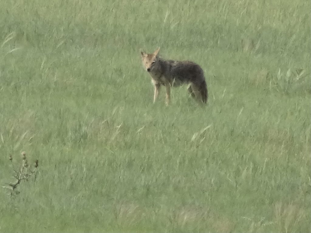
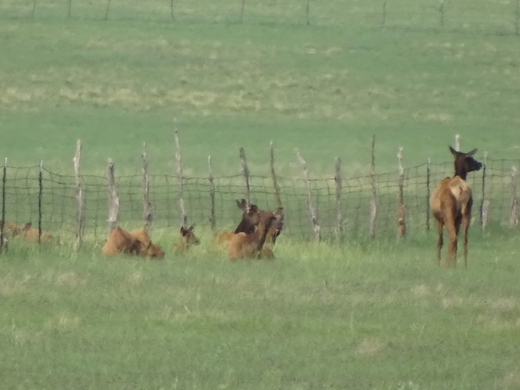
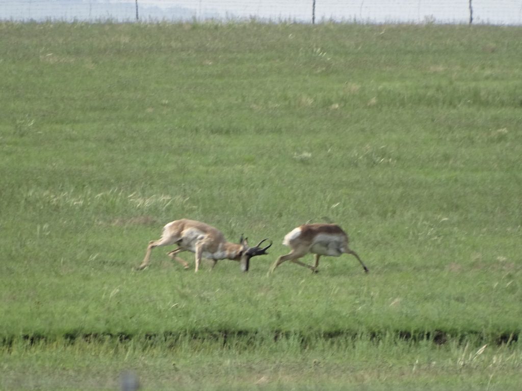
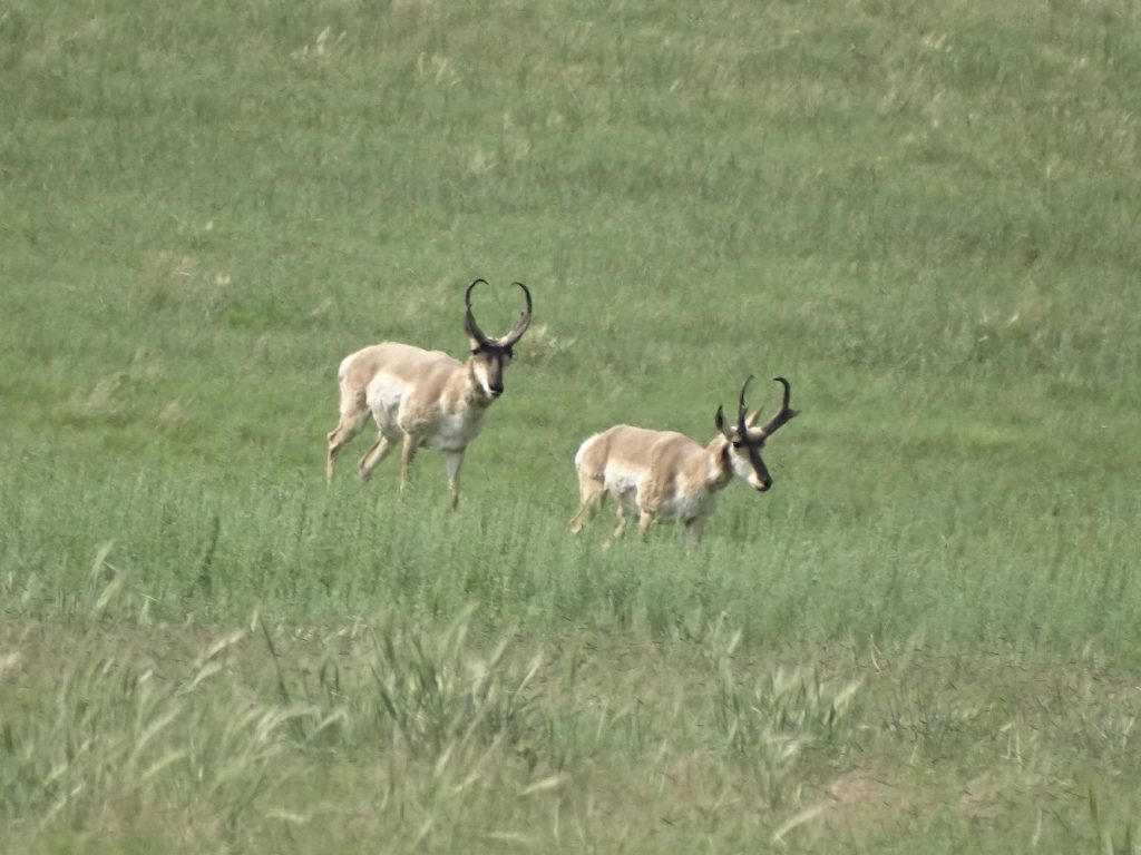
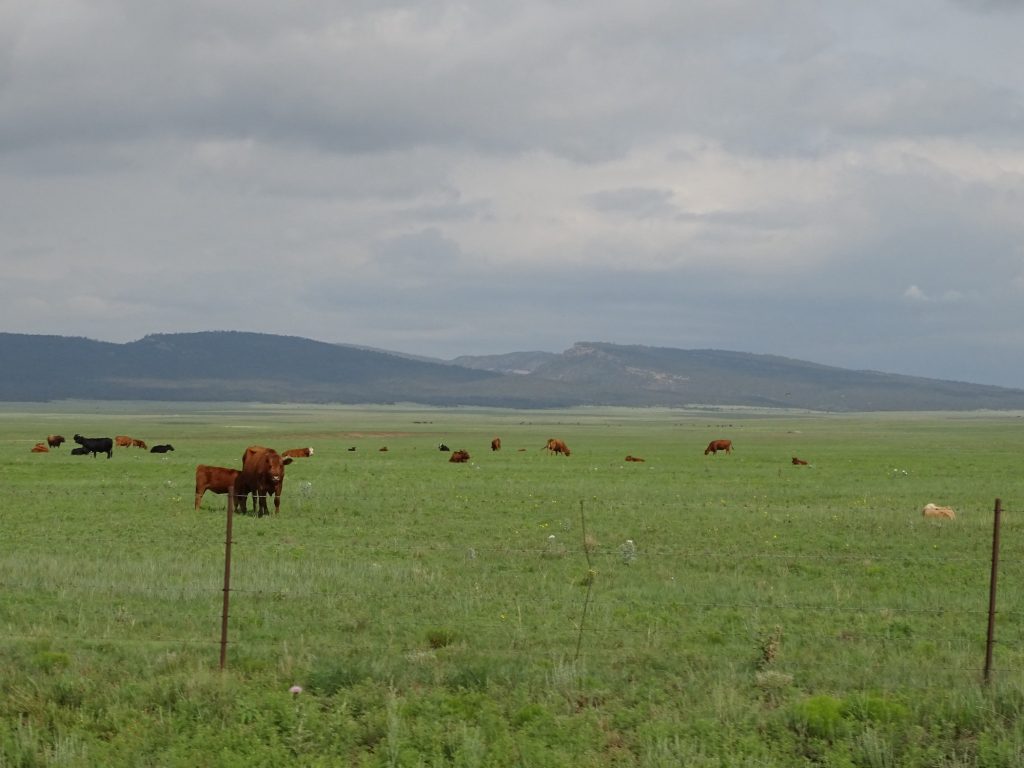
Sunday I was again up at first light. The day was forecast to be cloudy with a high of 69 degrees, so we decided it was perfect weather for a military fort tour. We headed north again on NM-434, where we soon encountered a few free-range cows hanging out on the shoulder not the least bothered by our passing. A few miles further down the road we came upon a couple of chipmunks and a rabbit in the road. One chipmunk ran off quickly, but we actually had to almost stop before the others decided to give up the pavement. We’ve been seeing elk crossing signs for days, and have seen no signs. We’ve even joked that the signs are just to give visitors hope of seeing one to keep them coming back. Well, our next wildlife encounter proved our theory wrong. We came into the Mora Valley, the same that we passed through on Friday, and off in the distance was a large herd of something. It turned out to be elk, and a LOT of them! Just short of Angel Fire, we turned southeast on NM-120 towards Wagon Road. It wasn’t long before we ran across more free range cows. They were funny. Someone had parked a pickup truck with a horse trailer attached by the road, and the cows were all hanging out around it. The owner was nowhere in sight, but I suspect he may be their food guy. The road curved around in the mountains for a little bit, and we passed a sign that said “Crew Parking”. A bit further down, there was a guy in uniform at a makeshift checkpoint for a turnoff up into the woods. MW stopped so I could ask what was going on. Yes, I’m nosy, but we suspected they were filming something, and I wanted the lowdown! We were right, although all he was allowed to say was that it was a TV show. (I did a little internet research later and found out there is a show called “Outer Range” that is filming in the area. The story is based in Wyoming, and this part of New Mexico is very similar.) We thanked him and continued on our merry way. Before long, the mountain road opened up into rolling meadows, and then a huge, open valley between ranges. Part of it was additional Mora Grant land. As soon as we hit the open range, pronghorns were everywhere. No kidding, we saw hundreds, all either singles, pairs, or small groups of no more than a dozen. We were having fun picking them out in the fields, when MW saw something darker in the distance. I whipped out the trusty Sony, which I have found works equally well as a telescope, and saw it was a coyote. That makes two or three that we’ve seen in the daytime while traveling. A little further down the road, we saw a cluster of black way out in the field that turned out to be a small herd of elk. Then we topped a little rise and saw the coolest thing I’ve ever seen in person…a pair of male pronghorns FIGHTING! They broke apart just after I grabbed the camera, then one started chasing the other one across the field. It is close to mating season for them, and I read that males will fight over territory and females. We continued to I-25 south, then exited at Valmora and headed northwest to our first destination for the day.
The Whole Herd Zoomed In
Lush Grassland Like a Norman Rockwell Painting
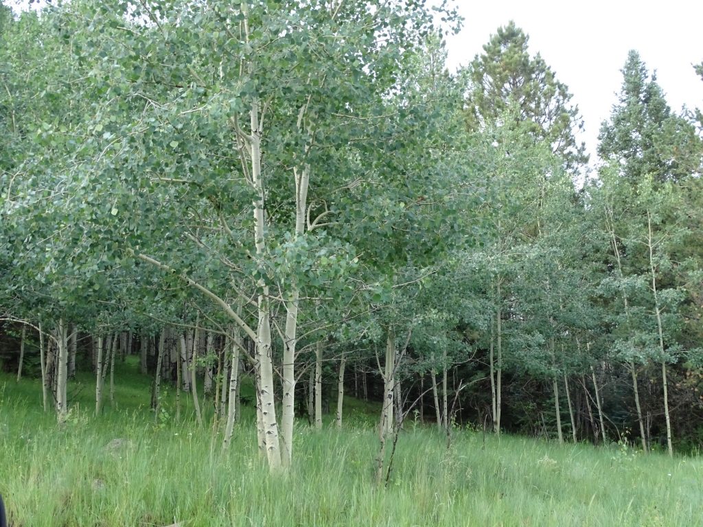
Aspen Grove Will Be Brilliant Yellow in Fall Free Range Cows
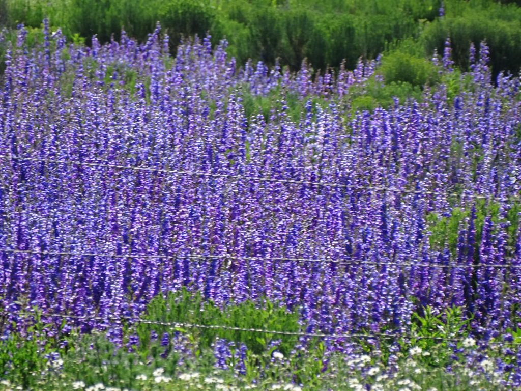
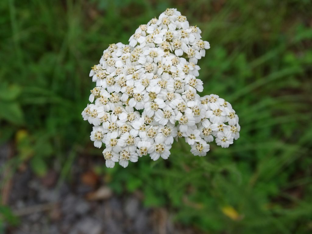
This Rock Cliff Went On for a Good Ways Yarrow
Lots of Grassland Seen Better Days
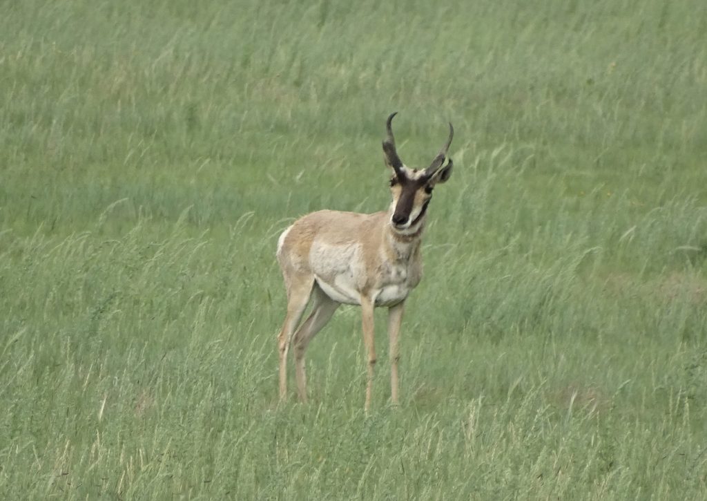
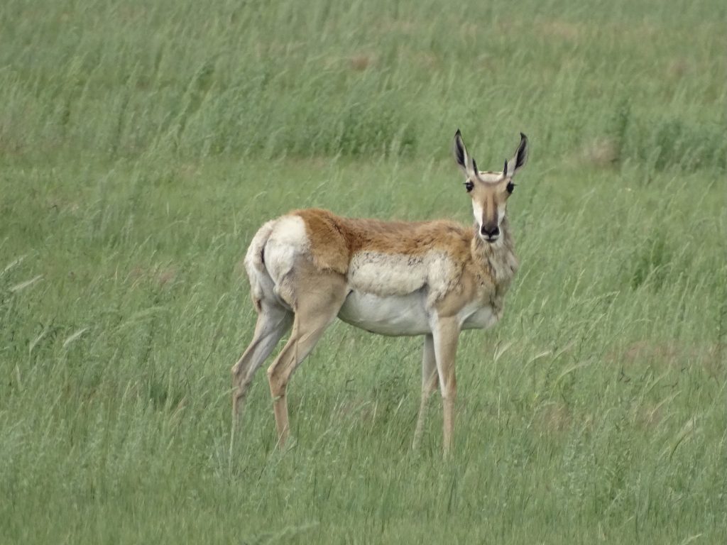
Male Pronghorn Female Pronghorn
Wile E. Coyote
Digital Zoom = Fuzzy
He Was WAAAYYYY Out ThereElk
Ditto on the Zoom
The Fight The Chase
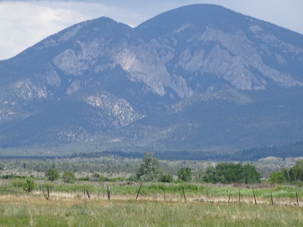
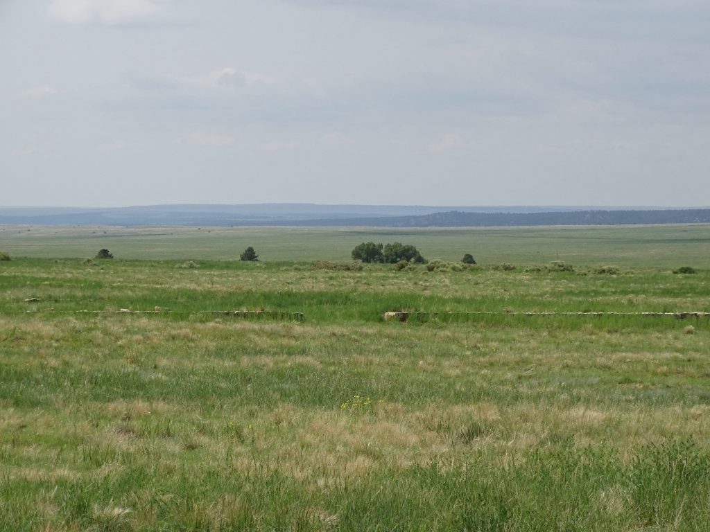
Flat All the Way to the Mountains
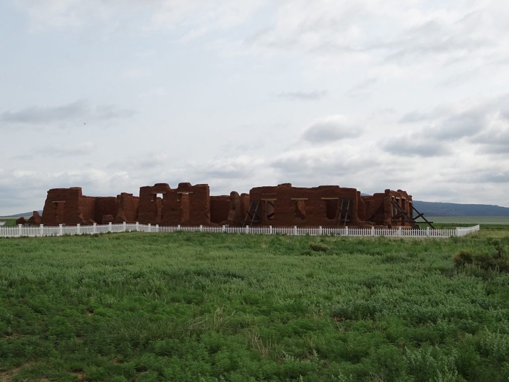
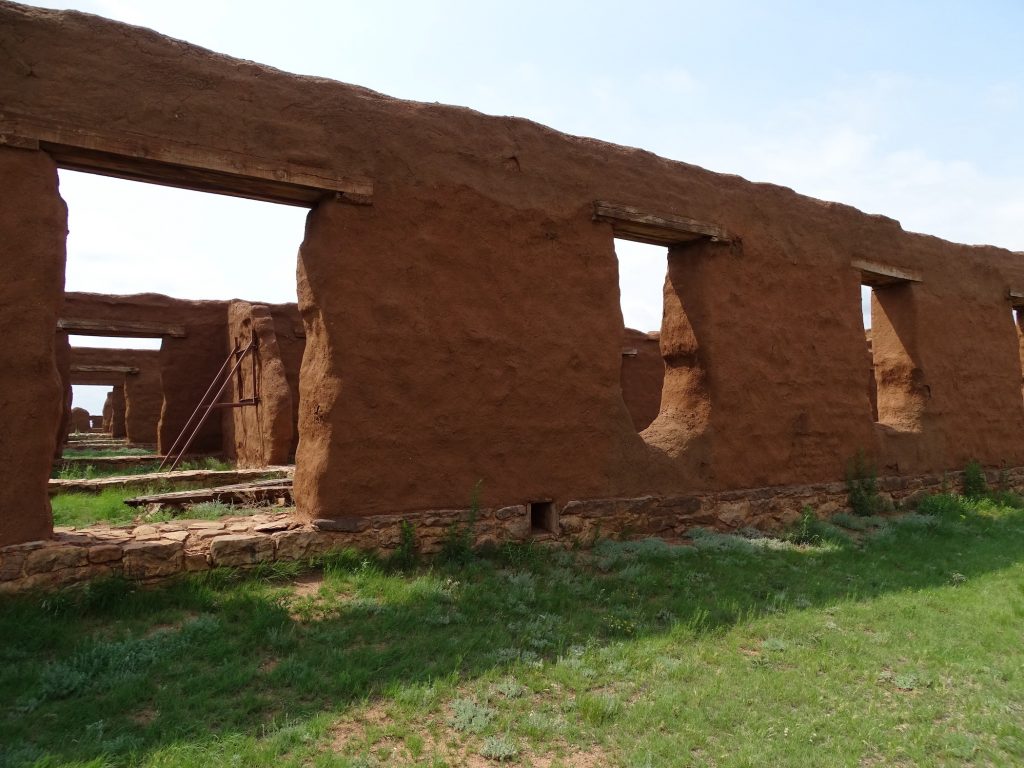
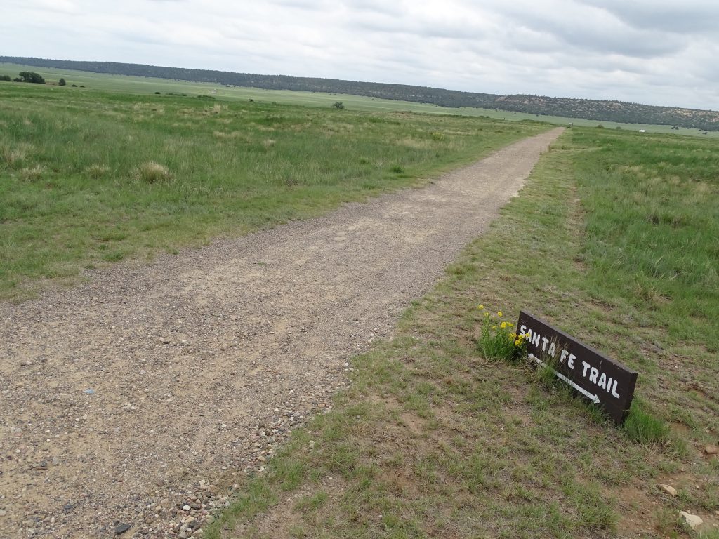
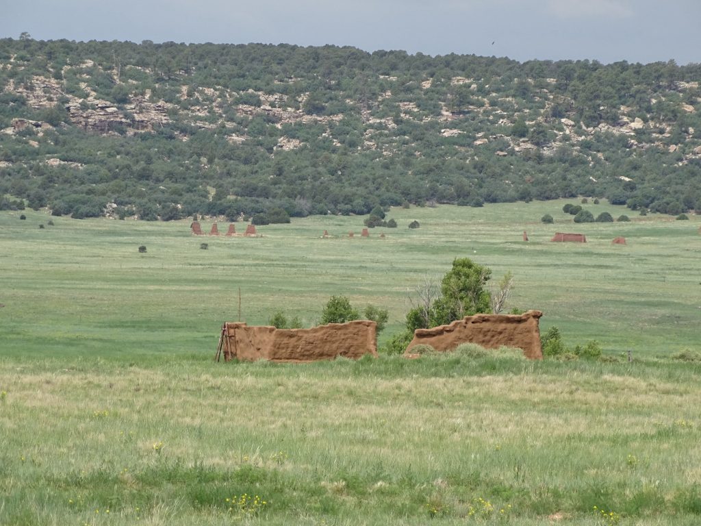
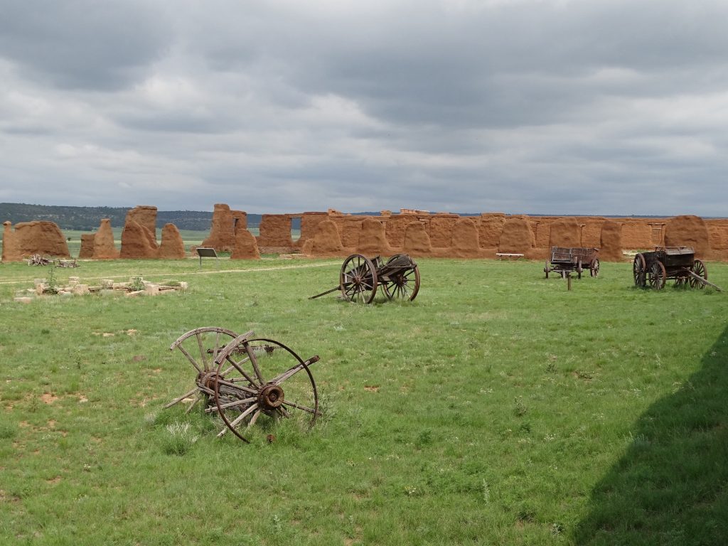
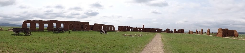
In 1851, shortly after the United States acquired the New Mexico Territory at the end of the Mexican-American War, passage on the Santa Fe Trail was being threatened by Jicarilla Apaches and Utes. To protect the travelers and traders, the military ordered a fort built at the intersection of the two main branches of the trail. The fort was rapidly thrown together in order to quickly establish a military presence. Ten years later, as the Civil War loomed, the original fort was declared too dilapidated to withstand a Confederate assault. A second star-shaped, fieldwork was built. The third and final fort, much more substantial and permanent than the first two, was built in 1863 by civilians and prisoners. At its peak, it housed 3,000 people, including soldiers and civilian employees. Soldiers were in for lots of hard work, strict discipline, and $13 per month. In 1952 it was established as the Fort Union National Monument, and that was our next stop. If you’ve read previous posts, you know that MW is a fan of forts, posts, bases…heck, anything that relates to the military. This was a perfect day to walk around in a big field and check out a bit of history. The ruins are huge and spread over a very large area. The walk around the third fort is about 1-1/4 miles. It was a very pleasant, breezy day for us, but on a hot, sunny day, it would be brutal! The coolest part for me is that there are big ruts left showing where the Santa Fe Trail was. It’s just cool to think of all of the people that passed through. It covered 900 miles from Franklin, Missouri, to Santa Fe, New Mexico. There were two routes, Mountain and Cimarron, each with their own hazards. The trail was used until 1880 when the railroad replaced it.
Ruins of the Base Hospital – Said to Be the Best in 500 Miles in Its Day
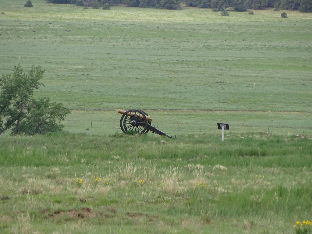
Cannon Out Front Jail

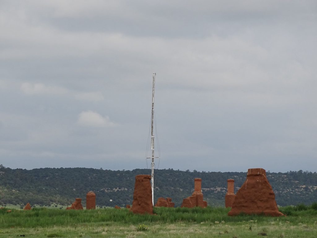
This Flag Mast is a Replica of the Original, Which Was Twice as Tall
Riders on the Trail Could See It From Two Days Out
Officer’s Quarters Storehouses

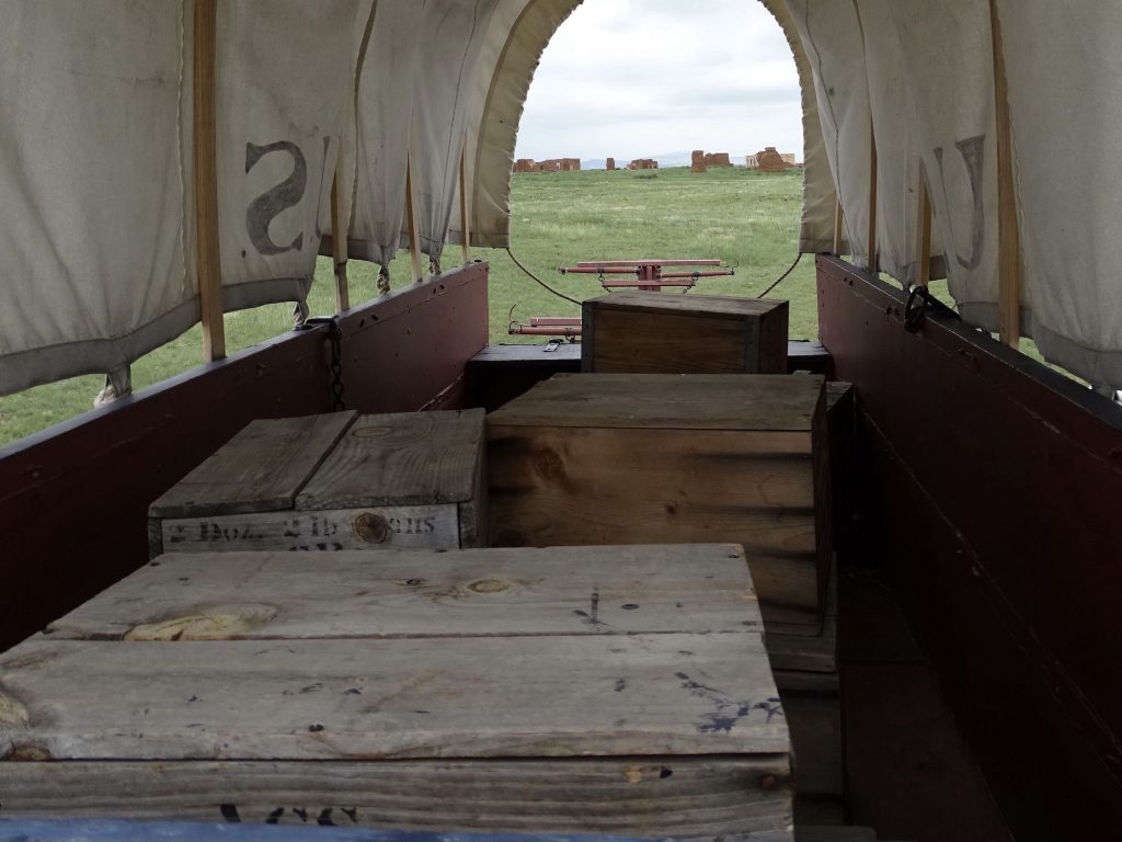
That’s Gotta Be a Rough Ride Military Camp
Santa Fe Trail Ruins of First Fort and Arsenal Near the Trees
Parade Grounds Foundation
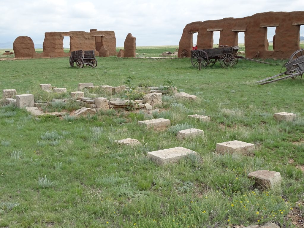
Harsh Winds and Weather Have Not Been Kind to These Adobe Walls
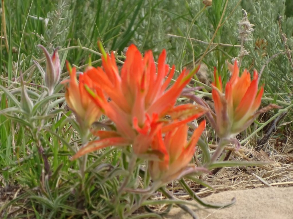
Beauty in the Ruins – Squawfeather Your View For Weeks on the Santa Fe Trail
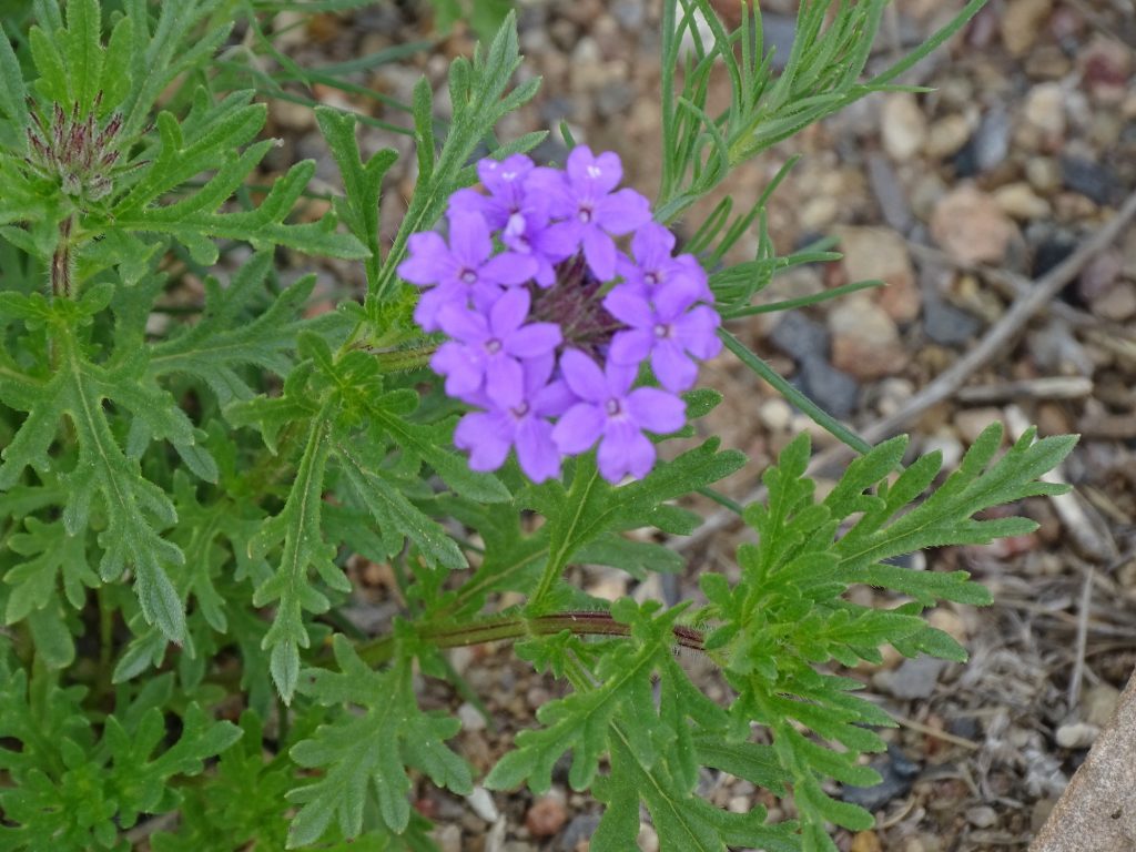
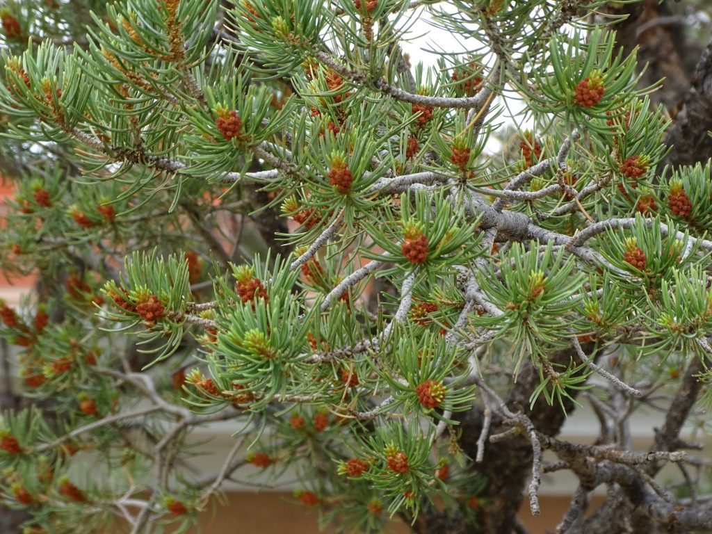
Dakota Vervain Official State Tree of New Mexico – Pinion Pine
BACK STORY: Fort Union was established on Mora Land Grant property, although the Army claimed they were not aware of it when they started building. Apparently, they just picked a spot and went full steam ahead. Initially, the fort included 8 square miles, and when the property owners complained, Colonel Sumner simply “claimed” it as a military reservation. So the owners took the Army to court. The case finally made it to Congress in the mid-1850s. There it sat. Meanwhile, in 1868 President Andrew Johnson “claimed” an additional 53 square miles surrounding the fort and including the entire Turkey Mountain range as a timber reservation. No kidding. The court case had already been going for about 17 years. Just wow! In 1876, the Surveyor-General of New Mexico reported that the fort was “no doubt” on private property. Yay! A win for the people…NOT! The Army didn’t want to move or pay the landowners. The Secretary of War argued that the land had been “improved” by the Army, and therefore they (THE ARMY) would need to be compensated if they left. WHAT?????!!!!! This stalled the case for another 15 years, when the Army closed and vacated the fort. So, the Army came in and built unwanted crap on land they didn’t own, then stayed there for 40 years without paying one red cent to the rightful owners, and told the owners that they needed to pay for the unwanted crap. So, using their rules, we should be able to set up Petunia on National Park land and build a picnic shelter and an outhouse and maybe add a couple of those planters built out of old toilets. Then we just hang out for the rest of our lives, right? Can we get the government to pay our heirs for the “improvements” after we are gone? Here is another little piece of strangeness: In the middle of the legal battle, the owners sold the ranch land around the fort to Major General Benjamin Butler (of Civil War fame). When the fort was vacated, the land reverted to his heirs, who by then had created the Union Land and Grazing Company. Sitting idle, the fort was scavenged by locals, who removed everything that could be reused. The first murmurs of establishing the fort as a National Monument began in 1929, but it wasn’t until 1939 that the National Park Service approached Union Land and Grazing Company. An agreement was reached for the company to DONATE 1,000 acres of land and a 200′ right of way for an access road to the government. In return, they wanted the government to fence the land, build a house for the company agent with water and electricity, and construct three underpasses on the entrance road to allow cattle passage. They also wanted a reversionary clause in the deed (giving the land back to the company if not used by the United States as a national monument or reservation). Easy peasy, right? No. The government wouldn’t agree to the reversionary clause, and it took until 1952 for them to change their minds. By that time the company had pretty much washed their hands of the deal, but the New Mexico government passed legislation to take the land by eminent domain, then used it to blackmail the company into being more agreeable. In the end, though, they did get the reversionary clause, so I guess that is a small win. If you think we still have property rights in this country, go back to the top of this paragraph and read it again. It hasn’t gotten any better. Eminent domain has been used to tear down poorer neighborhoods and replace them with fancy houses and shopping malls. Oops, how did I get on this soap box? Climbing down now.
Next up was finding some lunch, so we opted to head over to Las Vegas, the nearest large-ish town. TripAdvisor told us that JC’s New York Pizza Department was one of the best, so we headed for the square downtown. MW had a Giovanna sub, which was very meaty and delicious. I had a calzone with spinach, tomatoes, garlic, and pepperoni. Yum! ‘Nuf said. We figured their pizza must be good, too, so we ordered some to take home for another time. (We are pretty remote, and good pizza is hard to find.) Turned out that it was beautiful to look at, but the flavor was a bit bland. Oh well, it was a good thought. On our way out of town, we popped into Walgreens for some supplies, then headed north on NM-518. To change it up, we turned onto NM-94 back to Mora, then the same route to the park. There is an alpaca farm on the road from Mora called Victory Ranch. We’ve passed it a few times, and they have a sign out front saying you can visit. I looked it up, and found a sale listing. For $2,750,000, we can get 1,006 acres with three houses and a whole bunch of other stuff. Most importantly, it comes with a sizable alpaca herd. I gaze lovingly every time we pass by. MW is gonna need to get a job! Back at Petunia we watched “Bobby Jones: Stroke of Genius“, which was very good. I didn’t know that he never played professional golf, but spent his entire career on the links as an amateur or that he is the only player in history to win the Grand Slam. At the time, even seasoned professional golfers acknowledged that he was the best in the world. I did know, but you may not, that he built Augusta National golf course and created the Master’s tournament. In Augusta, Georgia, he has an expressway after him. It is fascinating that he accomplished so much in the sport while simultaneously earning a BS in Mechanical Engineering at Georgia Tech, and AB in English Literature from Harvard, attending the Emory University School of Law (passing the bar after just three semesters), and working as a successful lawyer at Jones, Evins, Moore and Howell, his father’s firm. Whew, that man was busy!! Although I never played either, I’m a firm believer that there are no bad baseball or golf movies, and this one didn’t change my mind.
Downtown Las Vegas Downtown Las Vegas
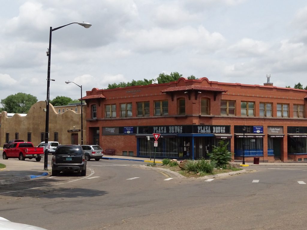
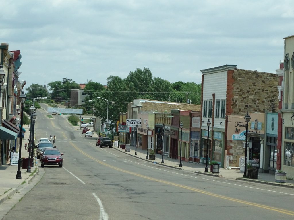
Downtown Las Vegas Alpacas at Victory Ranch
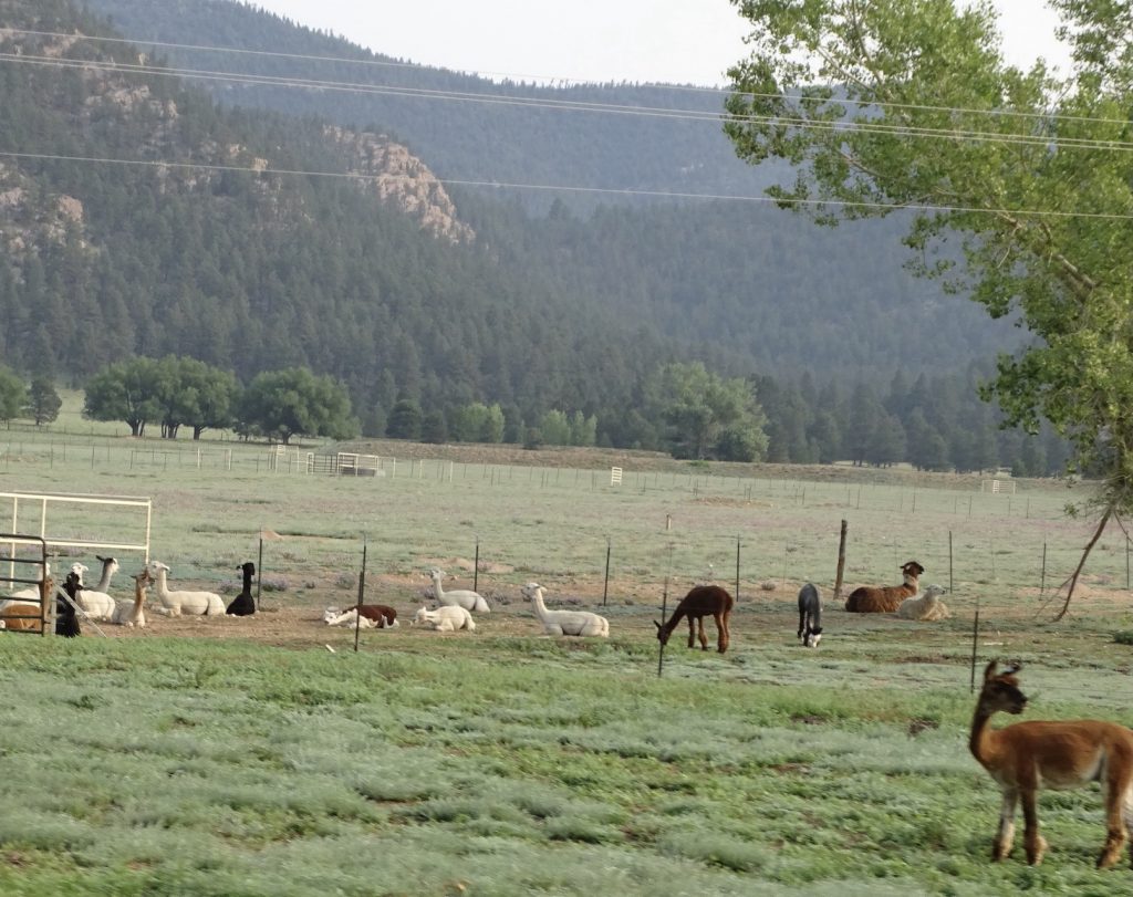
The White is the Roof of a House – Look Above It
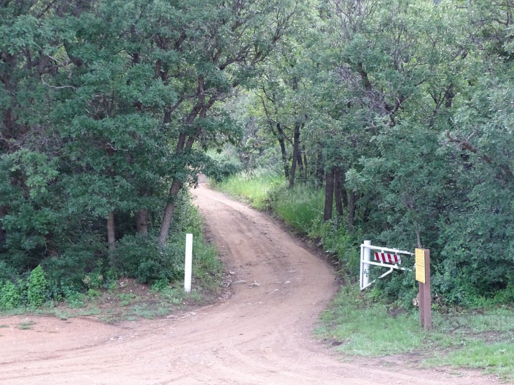
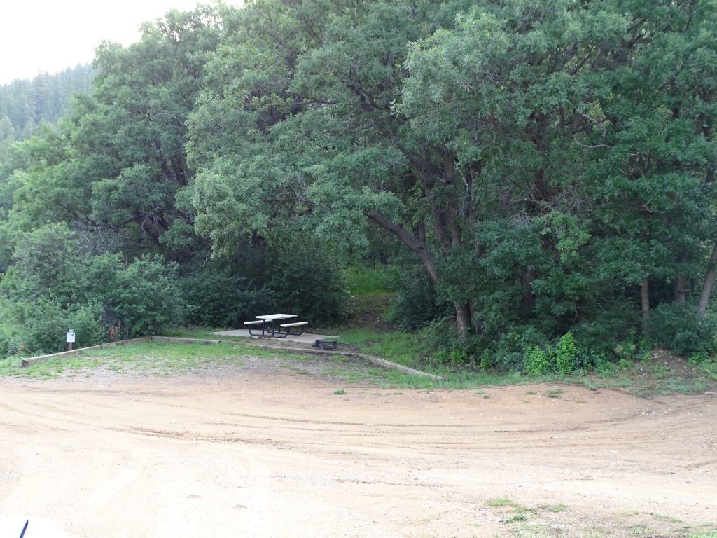
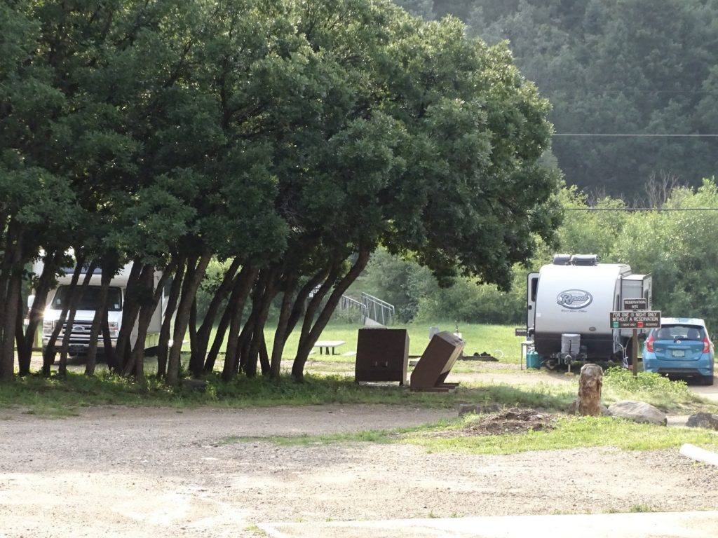
Coyote Creek State Park is a very small place in the Sangre de Cristo Mountains, and is absolutely beautiful. At an elevation of about 7,700 feet, the scenery coming and going is pretty spectacular. (Flatlanders will want to keep that altitude in mind for hiking. It’s a lot more huffing and puffing than at the lower elevations.) The roads are hard-packed sand, but except for the ones not intended for RVs, they are good. Activities include picnicking, fly fishing, hiking, birding, and camping. The park has a short, .75 mile trail, and a trout stream runs through the valley. It also has a playground, group camping area, and group picnic shelter. The campground is spread out quite a bit and offers 14 water and 30-amp electric sites, 2 handicap water and electric sites (one 30-amp and one 50-amp), 19 developed non-electric sites with water nearby, and primitive sites in an overflow area. Sites are also hard-packed sand and have covered picnic tables and fire rings, although there was a fire ban when we visited. There is one bathhouse at the front of the park that is very clean (MW said it was the cleanest he has ever seen) and comfortable, but only has one shower and two toilets per side. There are also several vault toilets scattered about the property. It is a very quiet, peaceful park that does not feel crowded, even when it is almost full, although the overnight area is stacked in side-by-side. It is, however, pretty remote. The trip over the mountains to Taos takes about 1 hour and 15 minutes, and going to the Fort is a little more. However, if you enjoy beautiful mountain vistas, amazing wildlife, curvy roads, and taking your time, this place should be on your list. We would definitely come back. For this stay in July 2021 we paid $68 for 4 nights.
Entrance Petunia and Our Neighbor Across the Road
Site Without Electric Playground
They Aren’t Kidding Bathhouse
The Rough Road to the Mountainside Sites No Electric Site
Overnight Sites Site Without Electric
That’s it for now. What’s next? I’m not sure yet, but you’ll be the first to know! See you on the path!
Talisa
P.S. Hit the follow button below to be notified of new posts and please SHARE, SHARE, SHARE on social media!