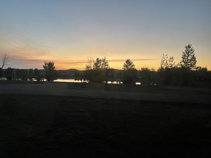
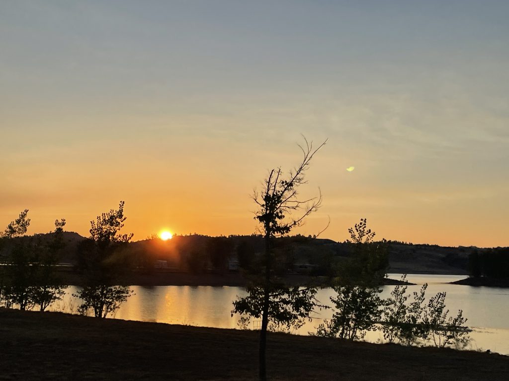
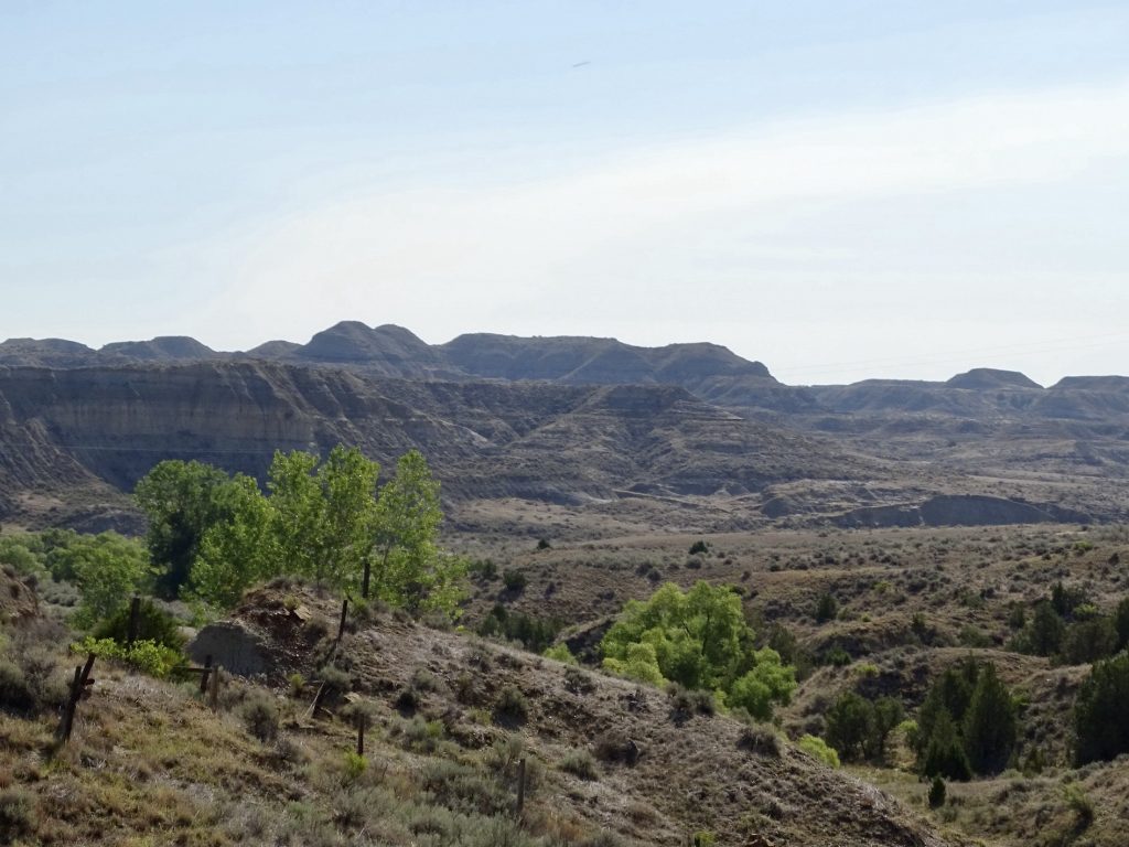
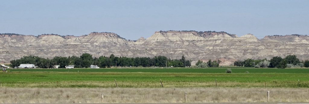
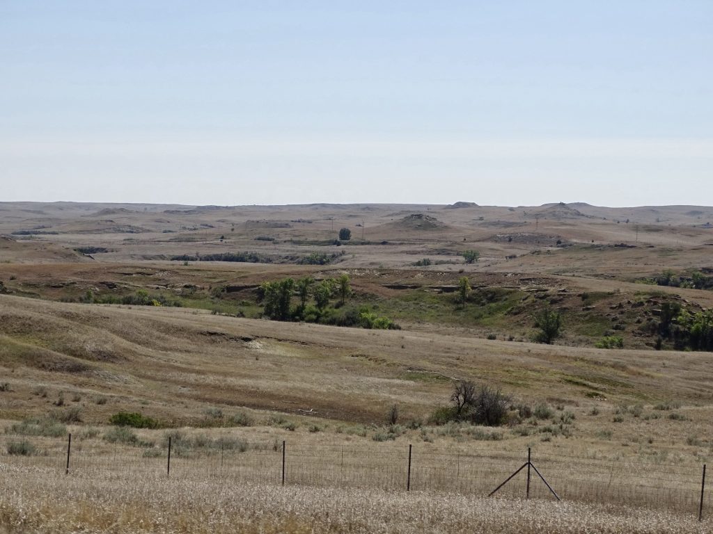
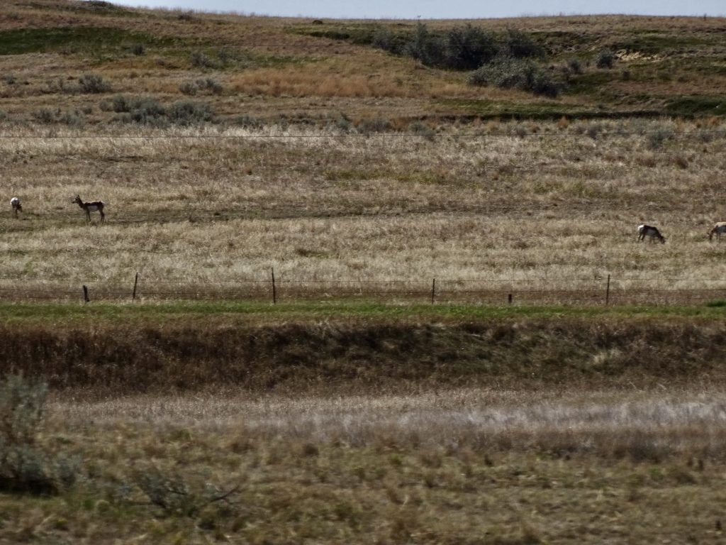
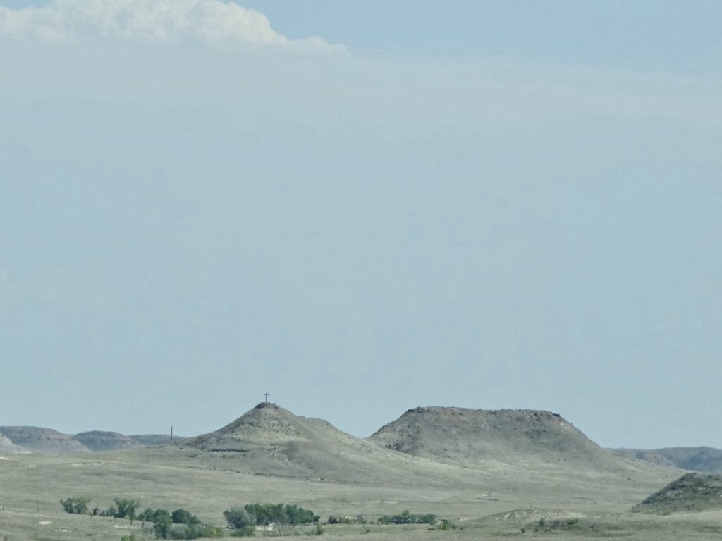
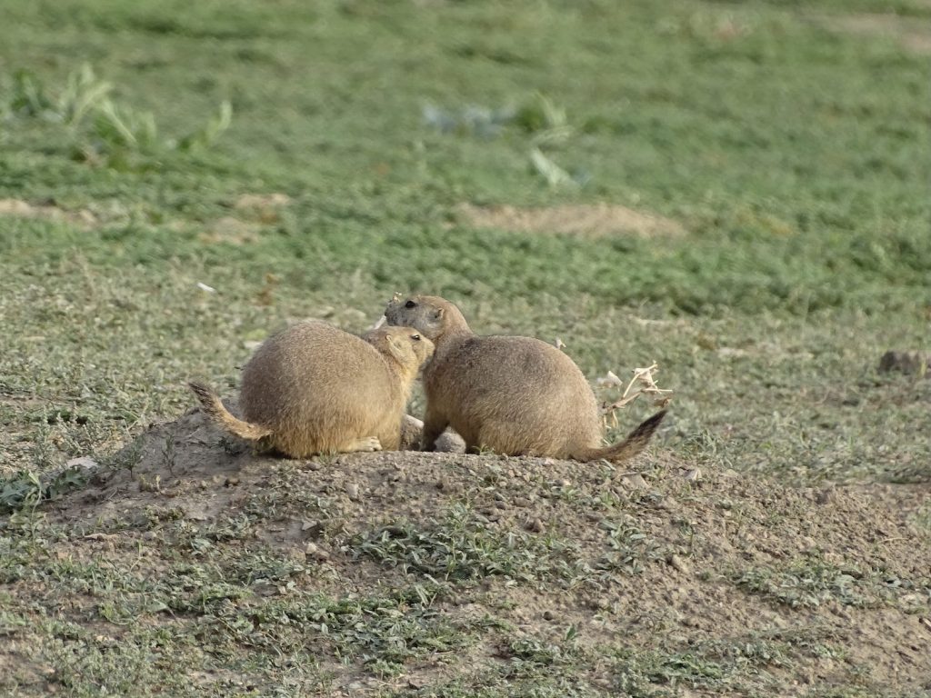
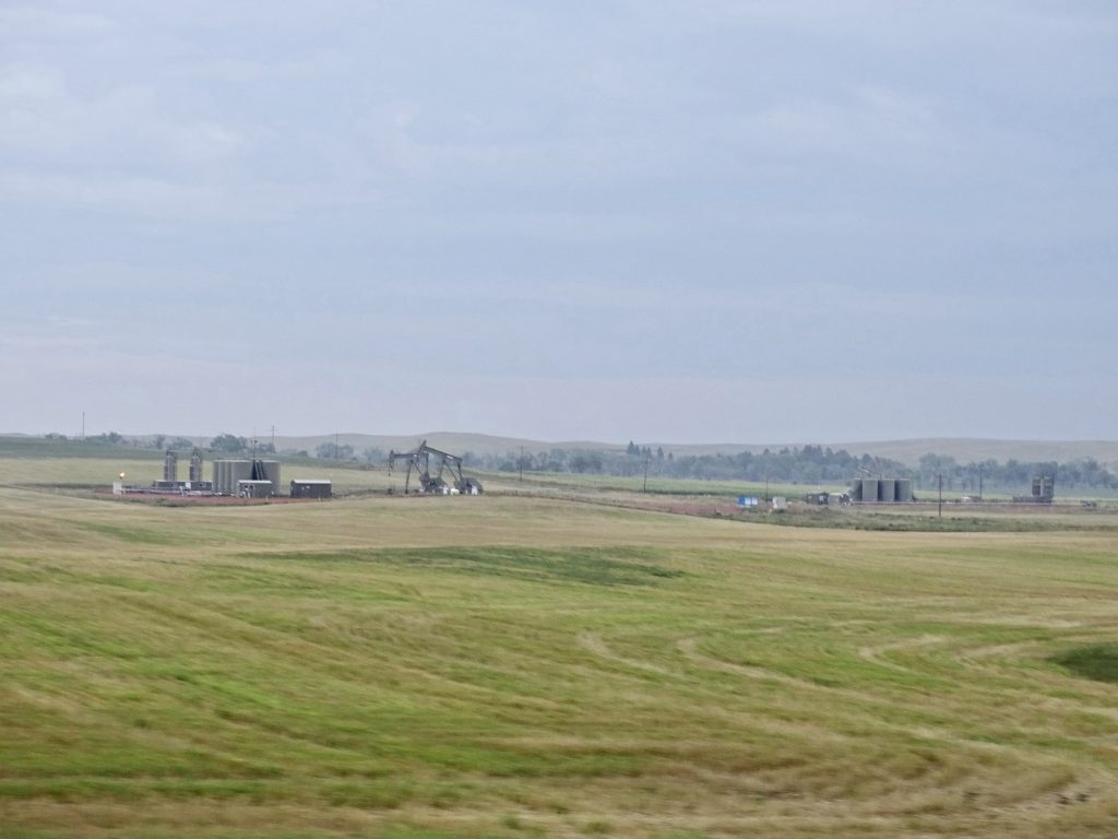
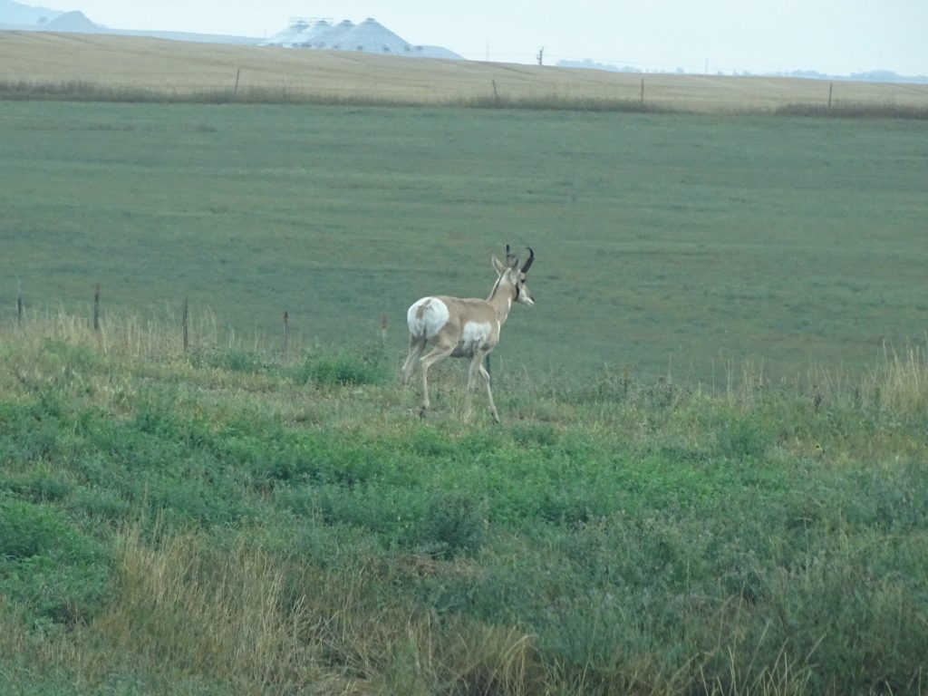
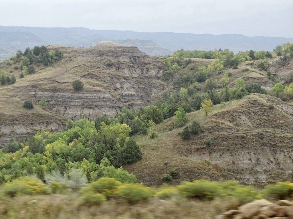
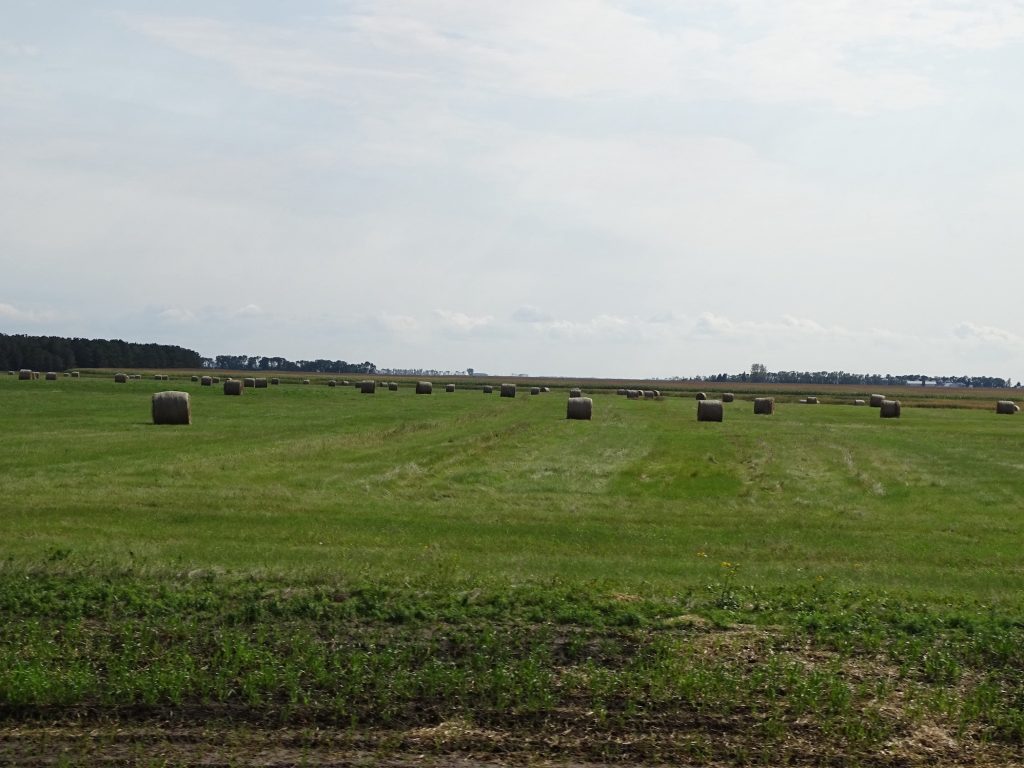
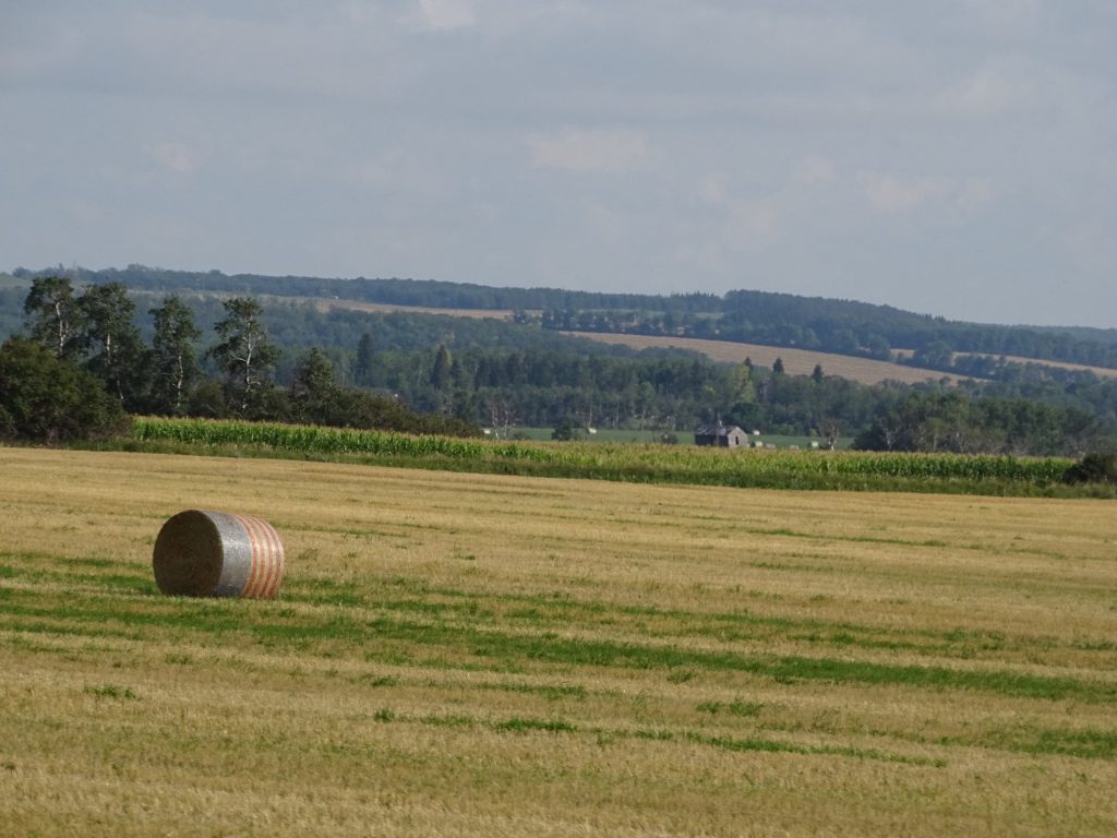
On Monday, August 30, we were greeted by a beautiful, pre-dawn sky (above) as we buttoned Petunia up to hit the road for the long drive out of Montana. *sniff, sniff* We were retracing a previous route, first heading north on MT-314 to Busby, US-212 to Muddy, MT-39 north to Forsyth, and I-94 east. The terrain is very rugged, and before Miles City, you can see how the landscape of the North Dakota badlands extends west through the middle of Montana. There are huge, open ranges and crops interspersed with rugged hills and mountains. Along the way we saw plenty of pronghorn and deer. We also saw pretty large prairie dog towns, some of which looked like they might have been exterminated. Ranchers don’t like the little critters at all with good reason. What starts as a small community can grow to take over hundreds of acres of rangeland. They destroy the grass and their burrows create hazards for cattle and horses. On my first trip to Montana almost 40 years ago, I had dinner with a rancher and his family near Miles City. There were several sons, and Dad paid a bounty on every prairie dog they shot. The boys made some money, and the system helped to eliminate a problem. It was also great target practice. Those little things are small and fast!

The Sun Peeked Out Just As We Left Tongue River Rugged Terrain
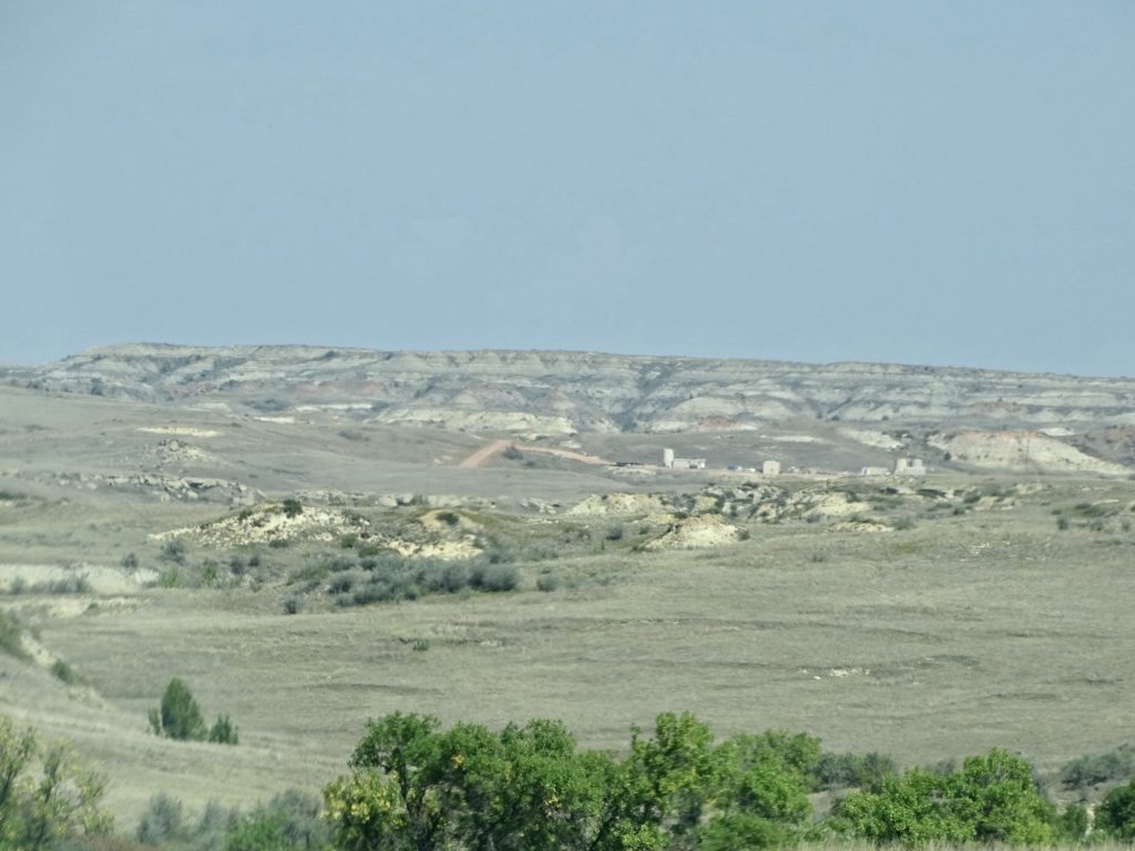
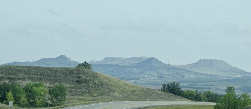
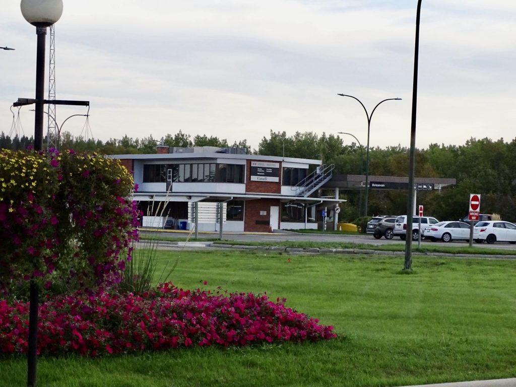
Northwest of Miles City
Near Fallon Near Glendive
Don’t the Clouds Look Like Another Layer of Mountains?
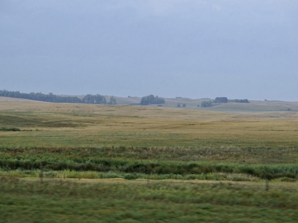
Some Open Spaces Pronghorns
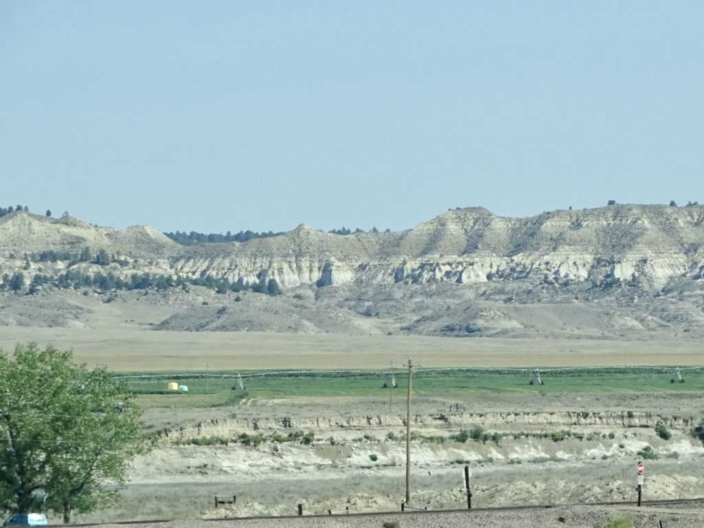
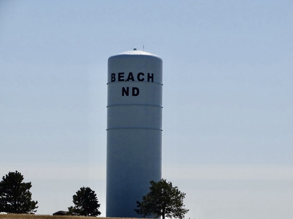
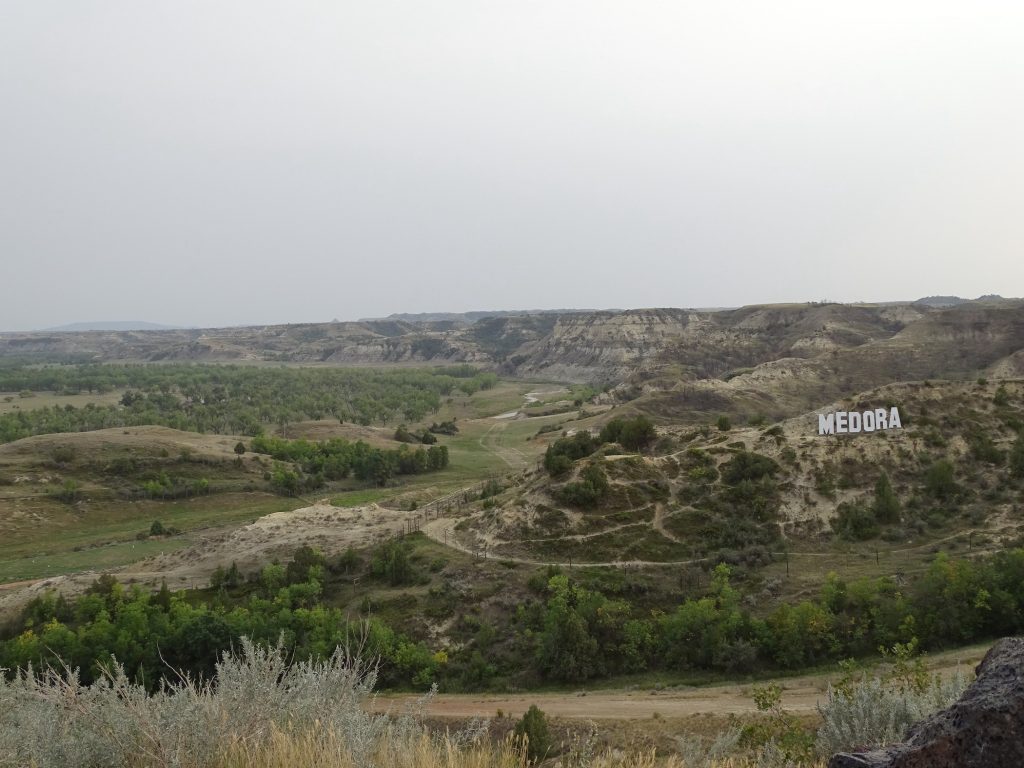
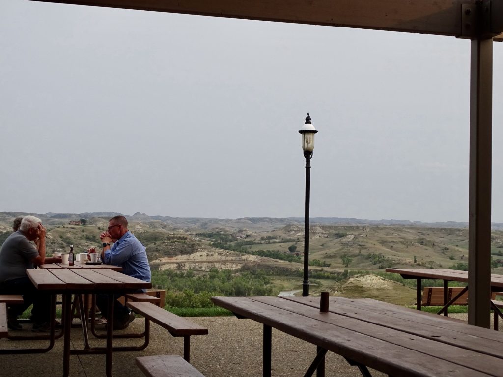
At Glendive we stopped for lunch at the Yellowstone River Inn. It is rare to check TripAdvisor or Yelp and find that the best restaurant in a town with more than one is in a small hotel, but that was the case here. It wasn’t too busy when we arrived, but the locals were streaming in the entire time we were there. We shared the cheese curds, MW had tuna casserole, and I had a teriyaki burger. The first two were excellent, but the latter was just so-so. After fueling up, we continued east, crossing into North Dakota, and soon exited at Medora and arrived at our new home, Sully Creek State Park. Later in the afternoon we drove through town, then stopped at Hatlee & Brae for ice cream cones. It’s a cute little shop with coffee drinks and gifts/souvenirs, too.
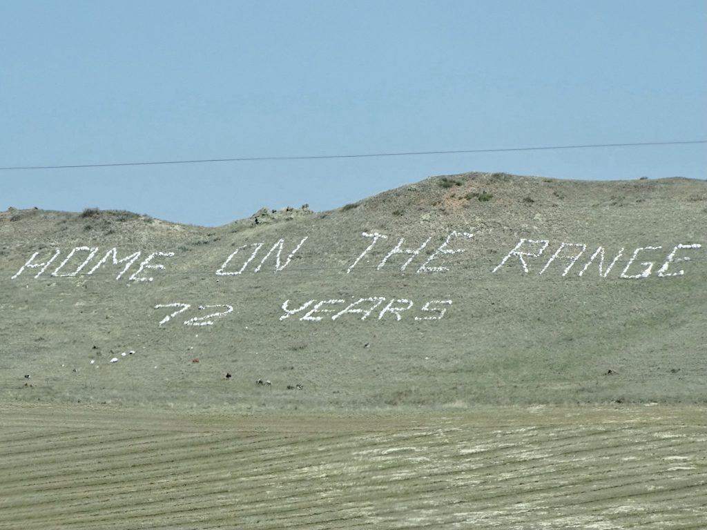
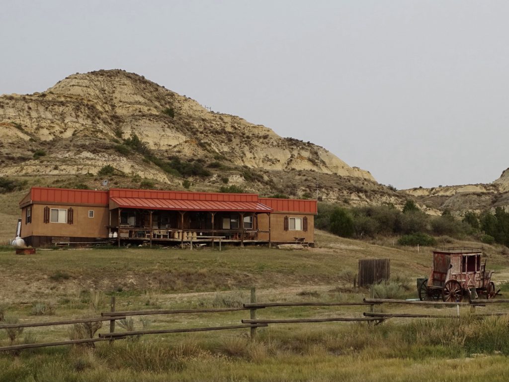
Seems Like An Oxymoron A Therapeutic Working Ranch for a LONG Time!
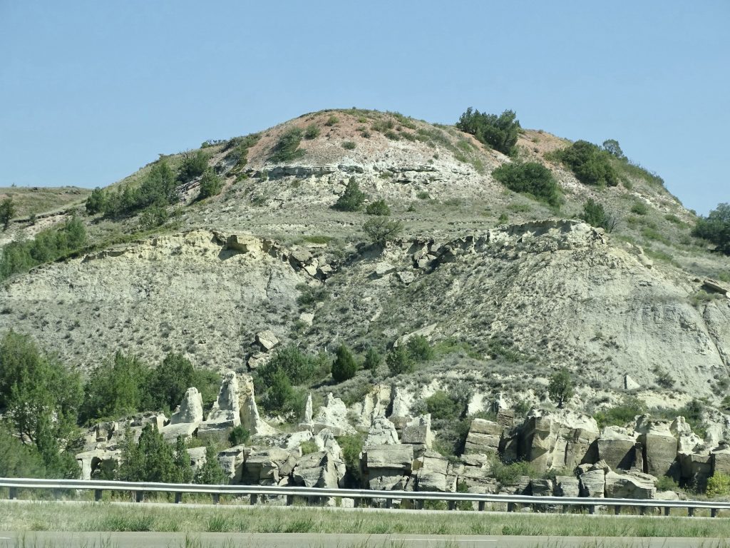
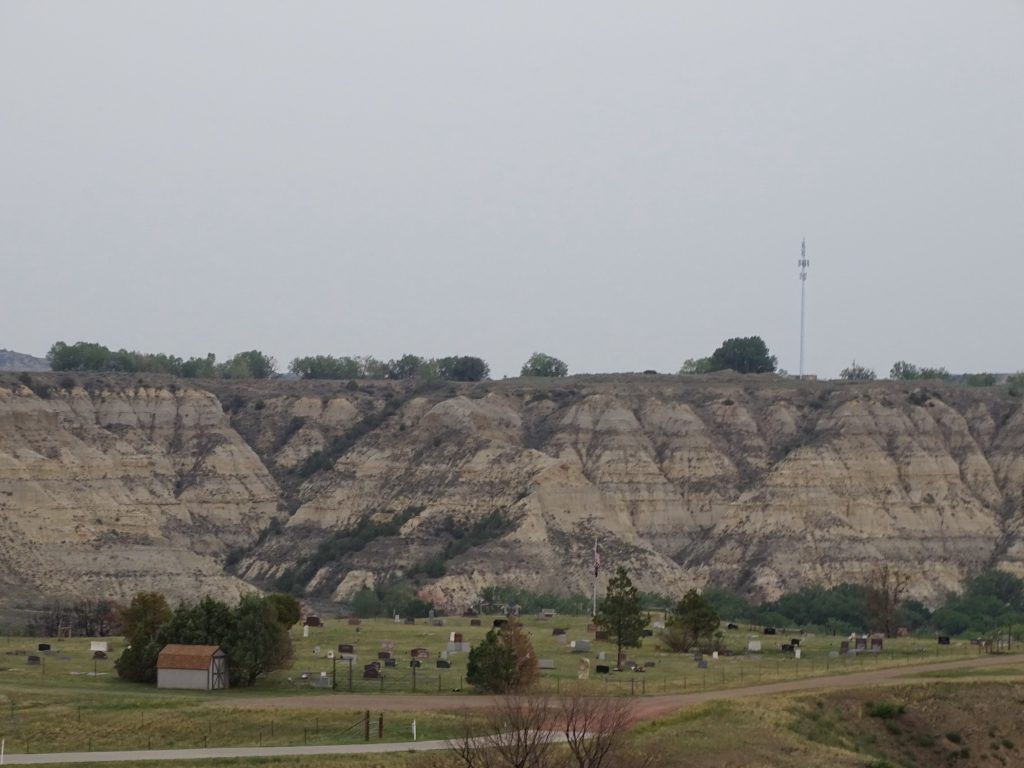
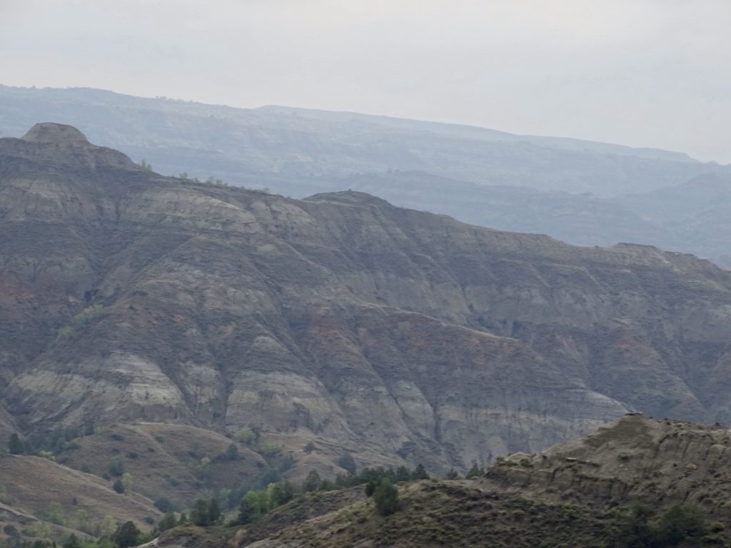
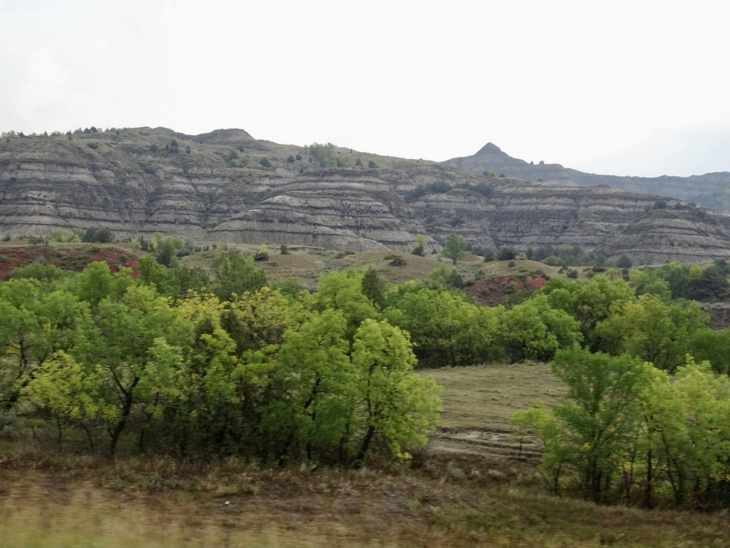
Near Sentinel Butte Starting to Feel Like the ND Badlands
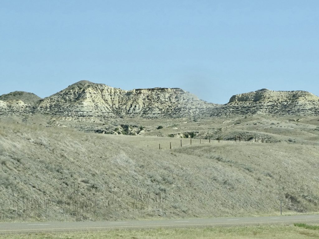
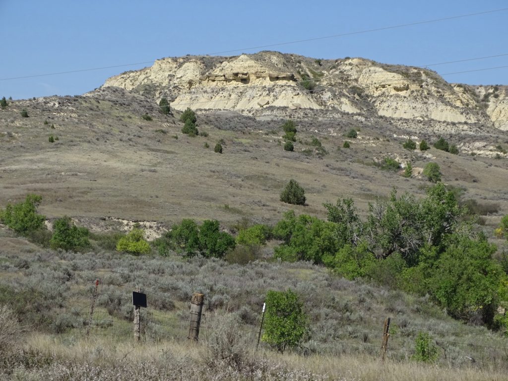
Rough and… …Rugged
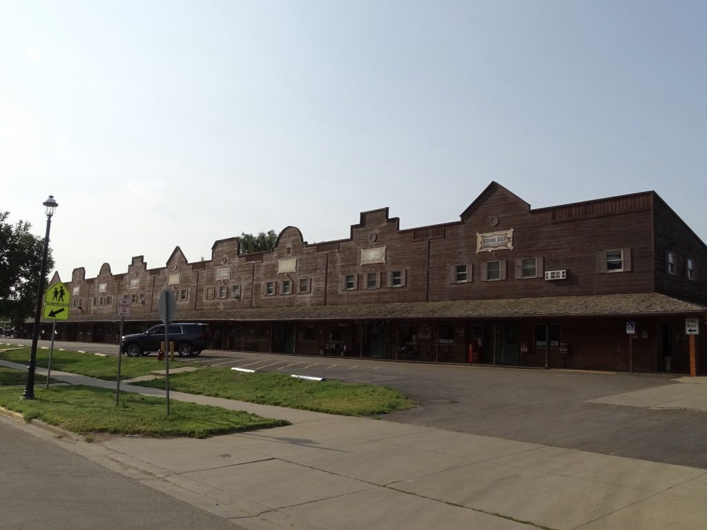
Medora’s Western Theme Most Adorable Trailer Award
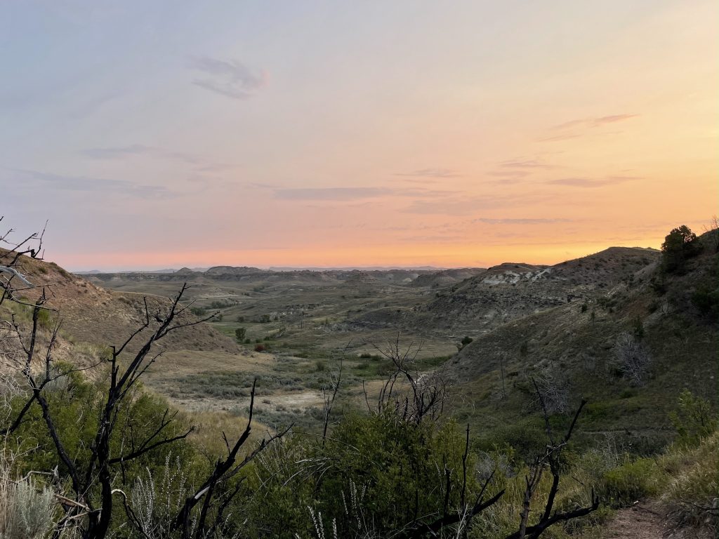
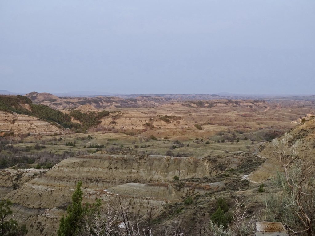
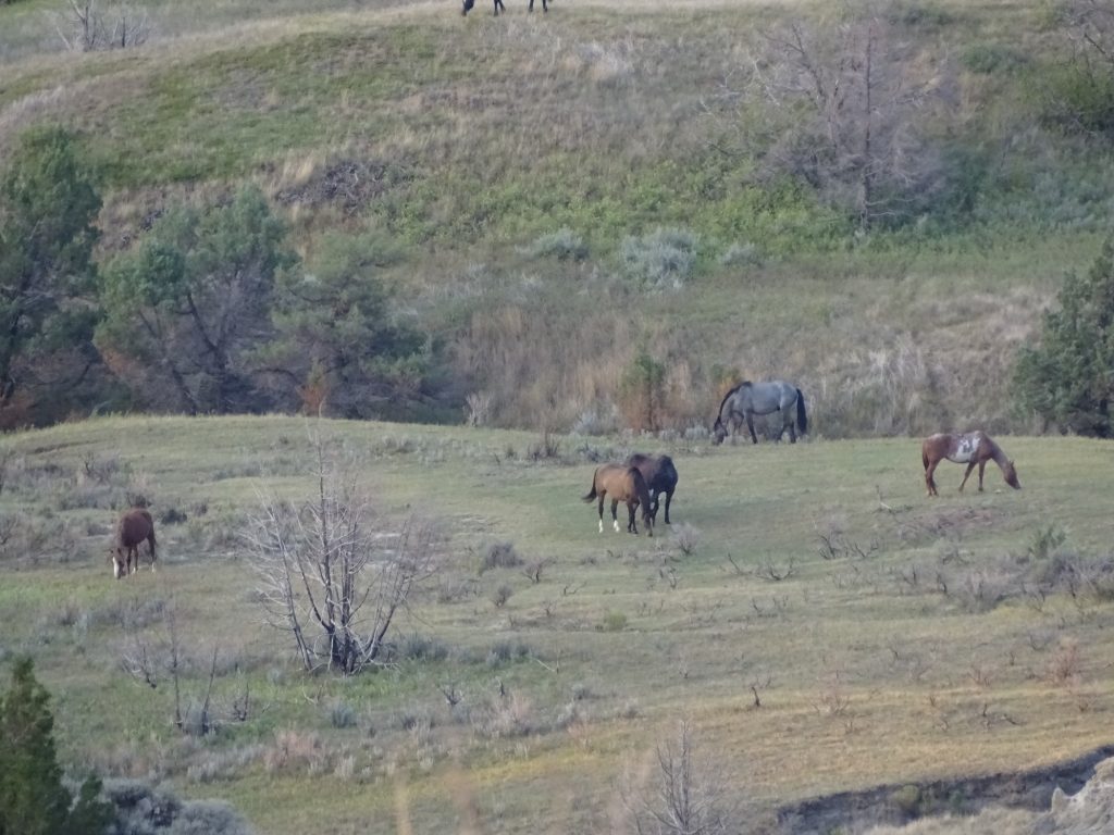
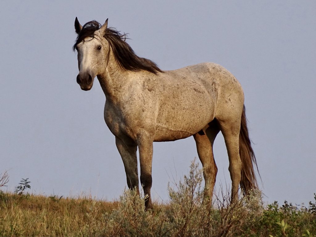
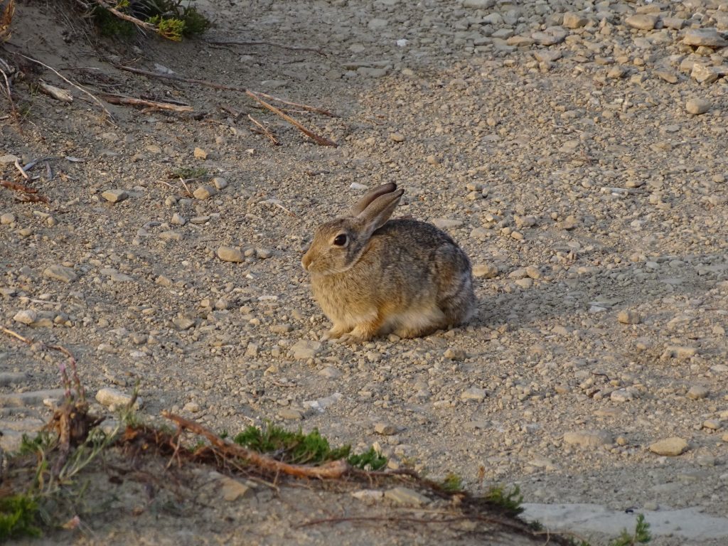
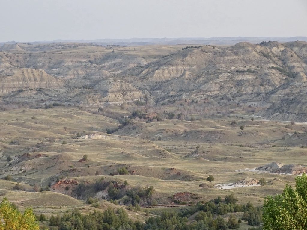
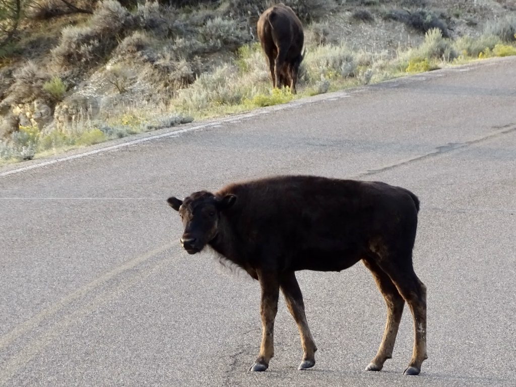
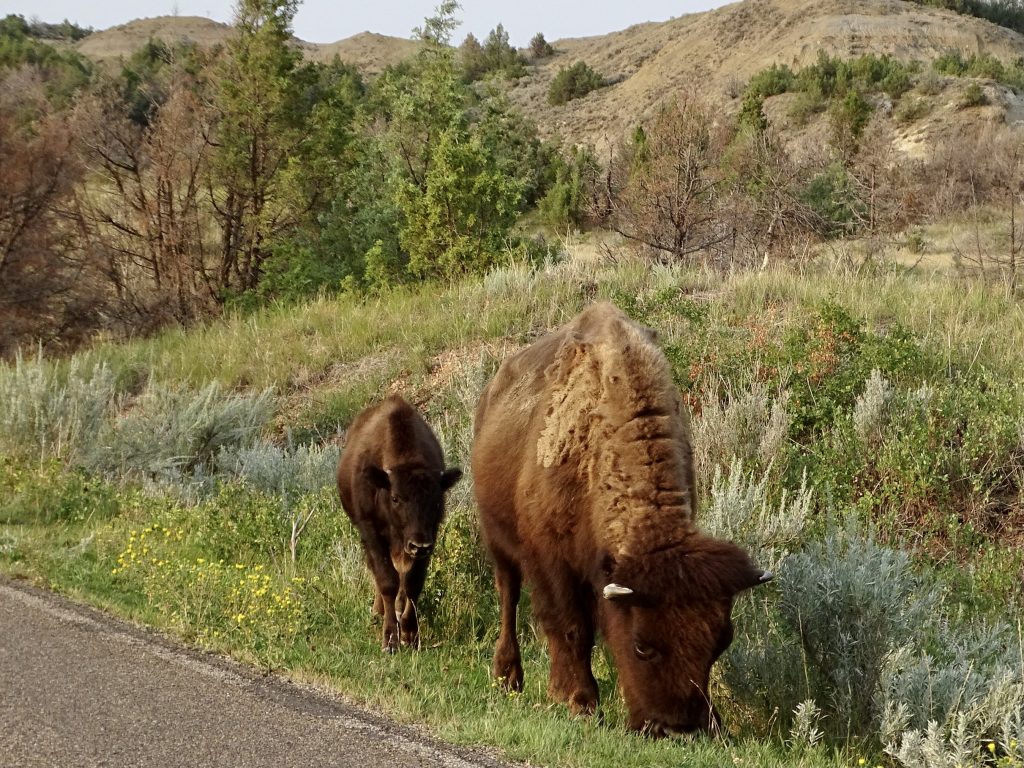
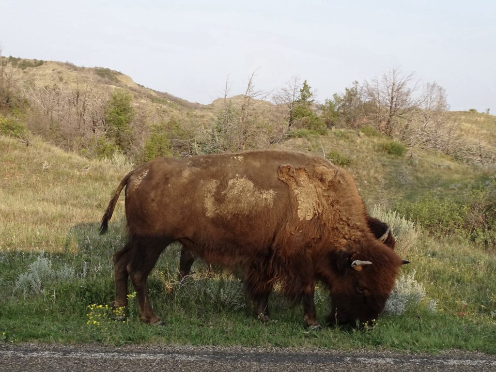
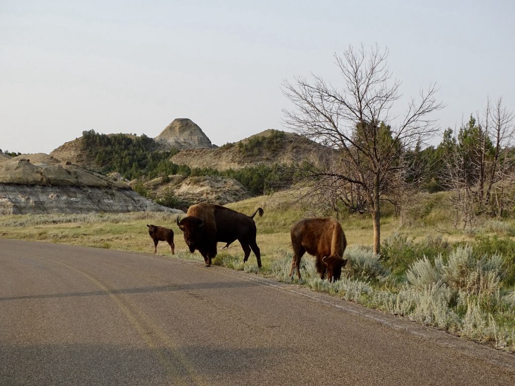
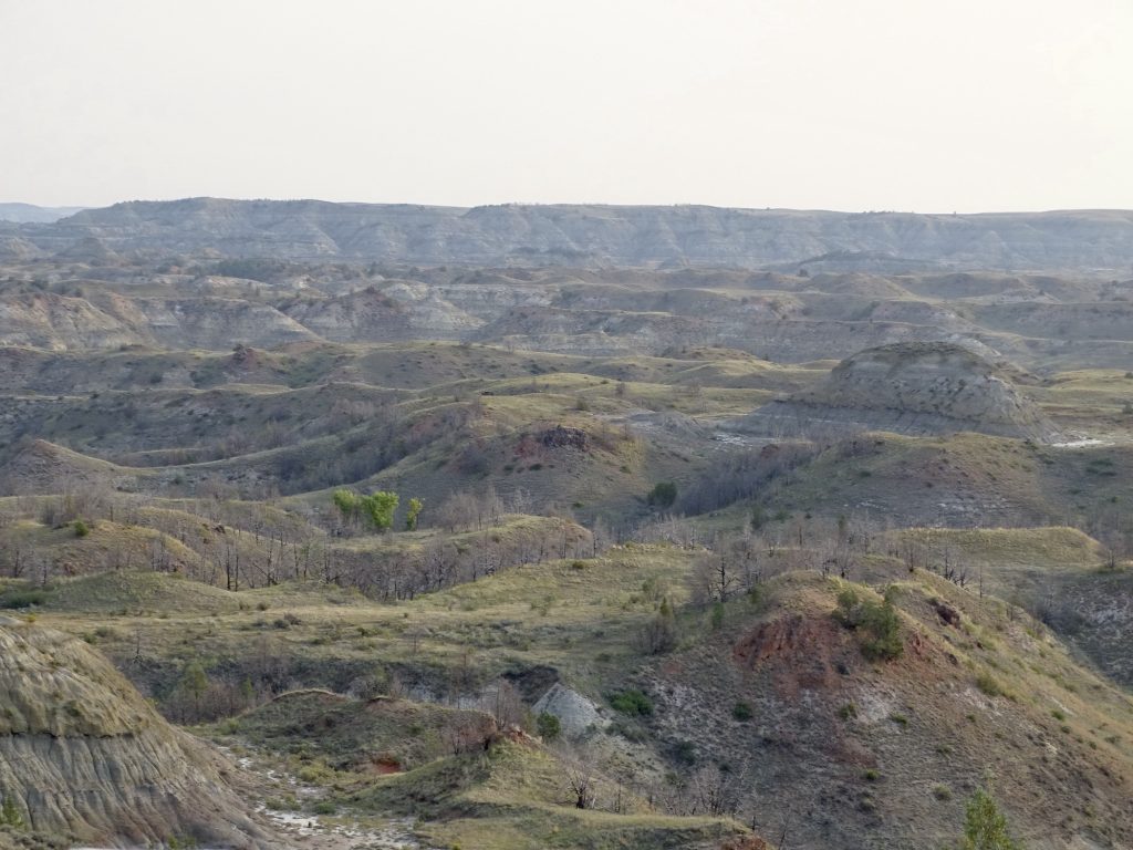
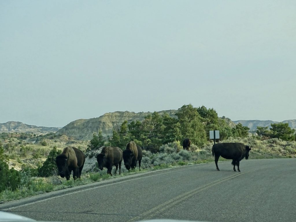
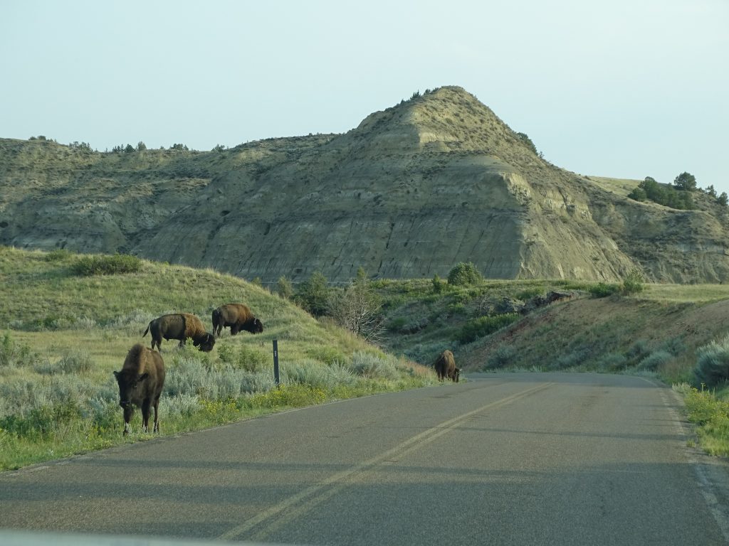
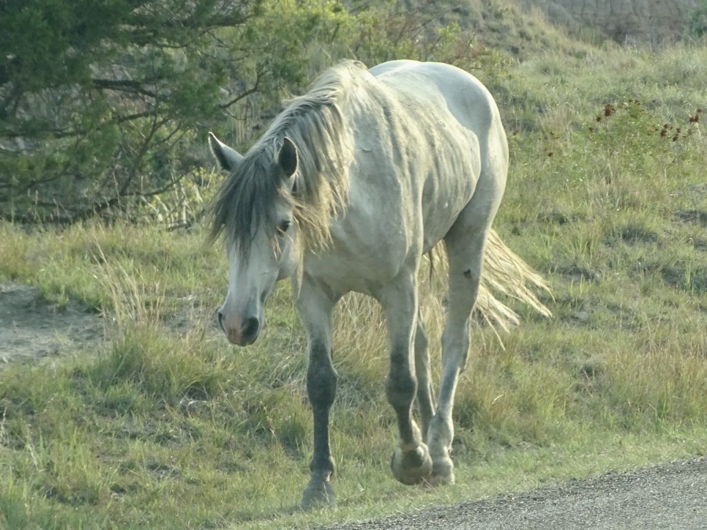
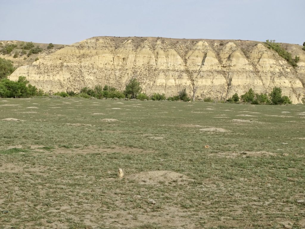
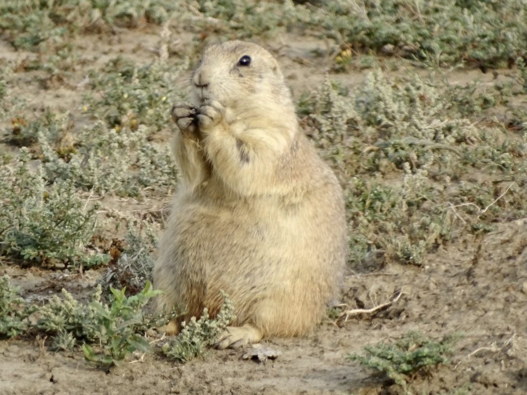
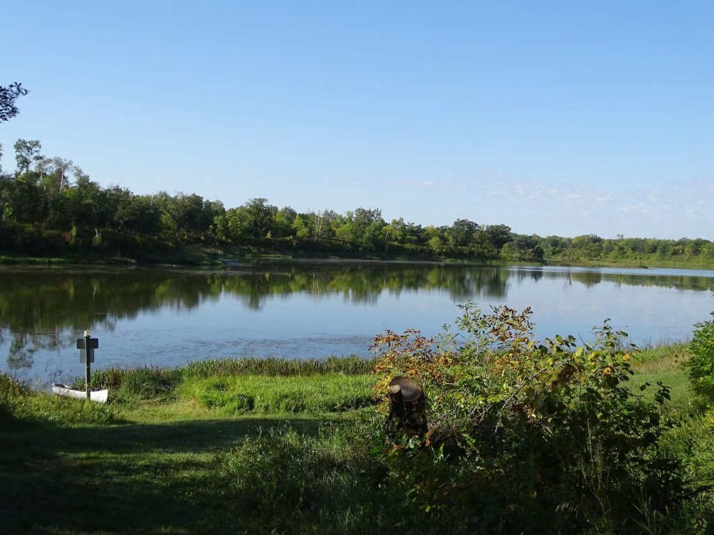
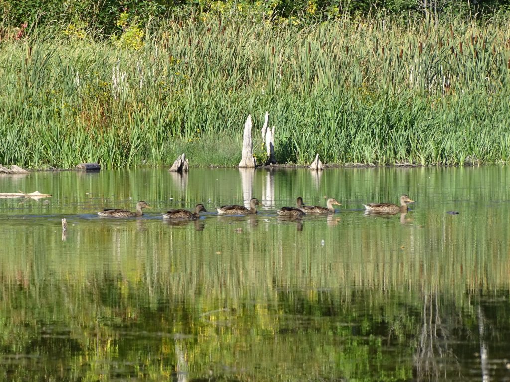
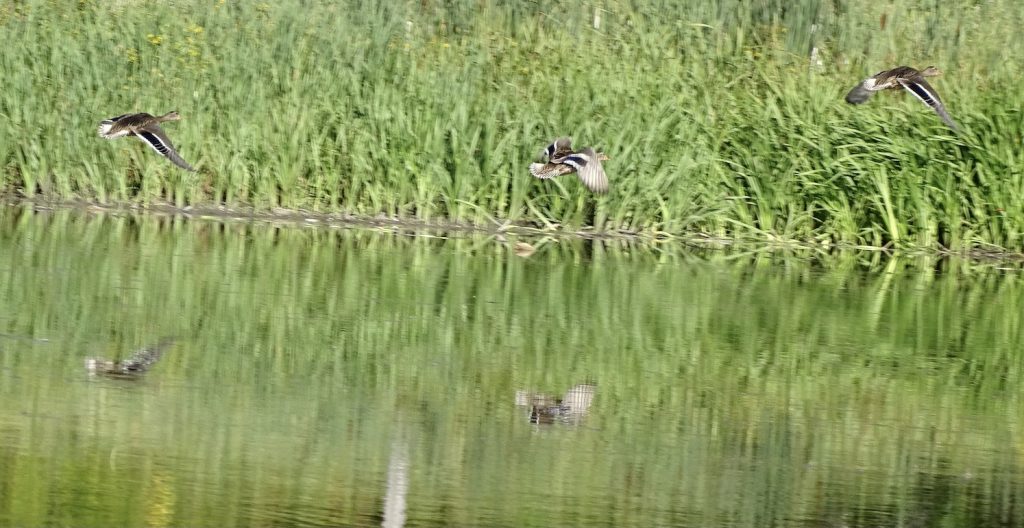
On Tuesday we entered the South Unit of Theodore Roosevelt National Park at about 6 AM. The scenery in this park is amazing on its own, but I love the early mornings when we see more animals. On this day the buffalo and wild horses were spectacular. (We’ve been to the park before, and you can see those pics here, if you are interested.) A portion of the large loop that we drove the last time has been closed indefinitely for road repairs, so the trip now is a 48-mile roundtrip drive. On the way in, we passed a large prairie dog town, but did not see one actual prairie dog. We wondered if they had started limiting their spread. Turns out, prairie dogs are lazy and just don’t come out until a bit later. On the return trip, they were everywhere! The colony below began in 1943 and covers about 220 acres. On the way out of the park, we stopped at the Visitor’s Center and checked out the Maltese Cross Cabin.
Pre-Dawn Light
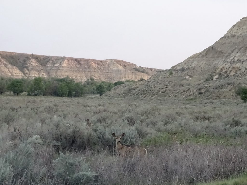
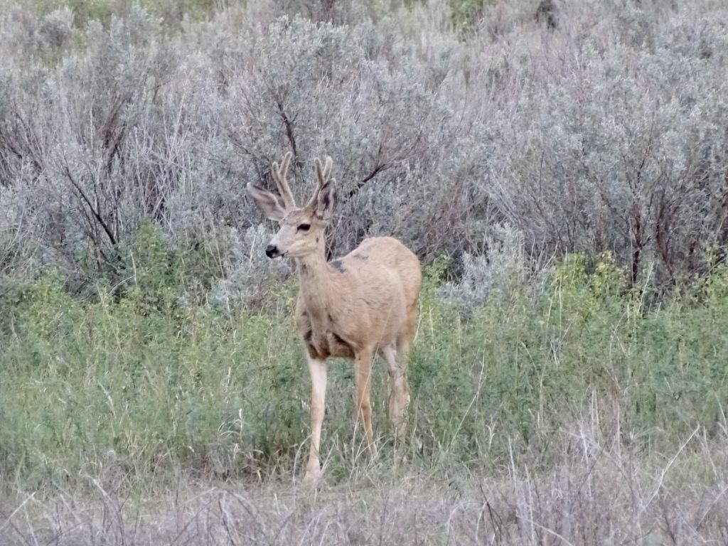
Mule Deer Waiting for the Buck Here He Comes
Here Comes the Sun and I Say “It’s Alright”
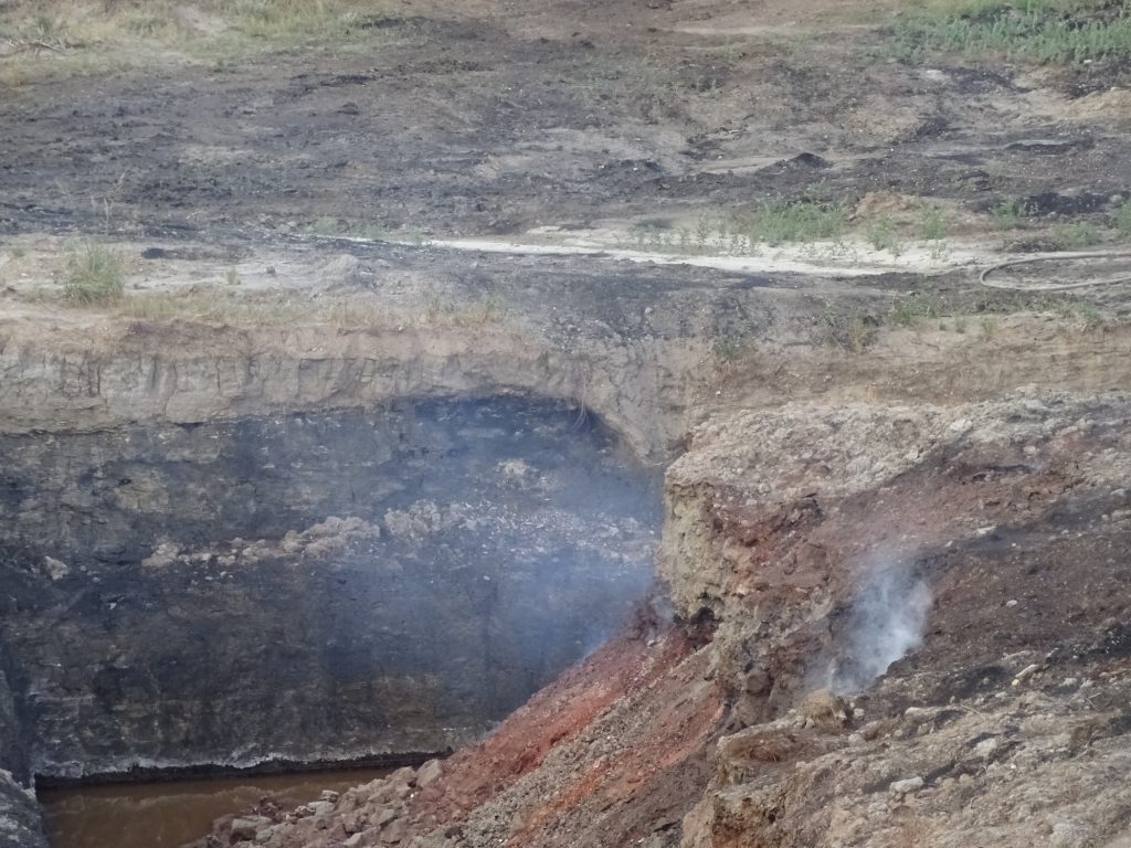
Smoke From a Coal Seam Fire in the Park Breathtaking!
Wild Horses in the Valley Majestic!
This Little Guy Hung Out With Us for a Bit Look at the Textures!
It’s a Turkey Parade Take Your Time Little Fella
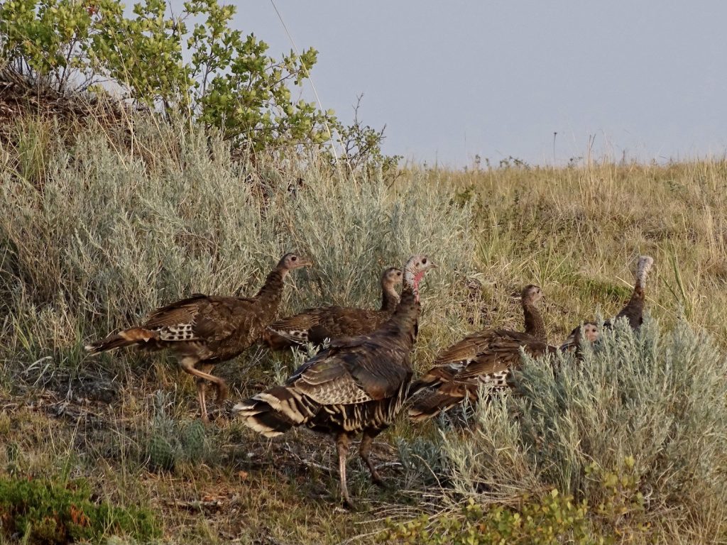
Mama and Baby Daddy
The Road is Yours – We’ll Just Hang Back Can I Just Park Petunia Right Here and Look at This View All the Time?
Who Called a Meeting? Okay, Okay, Here I Come!
I’ve GOT to Get These BANGS Trimmed!
What’s UUUUUUUPPPPPPPP!
Be Still! I Don’t Think She Can See Us! Duh…Yes She Can!
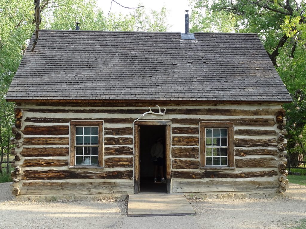
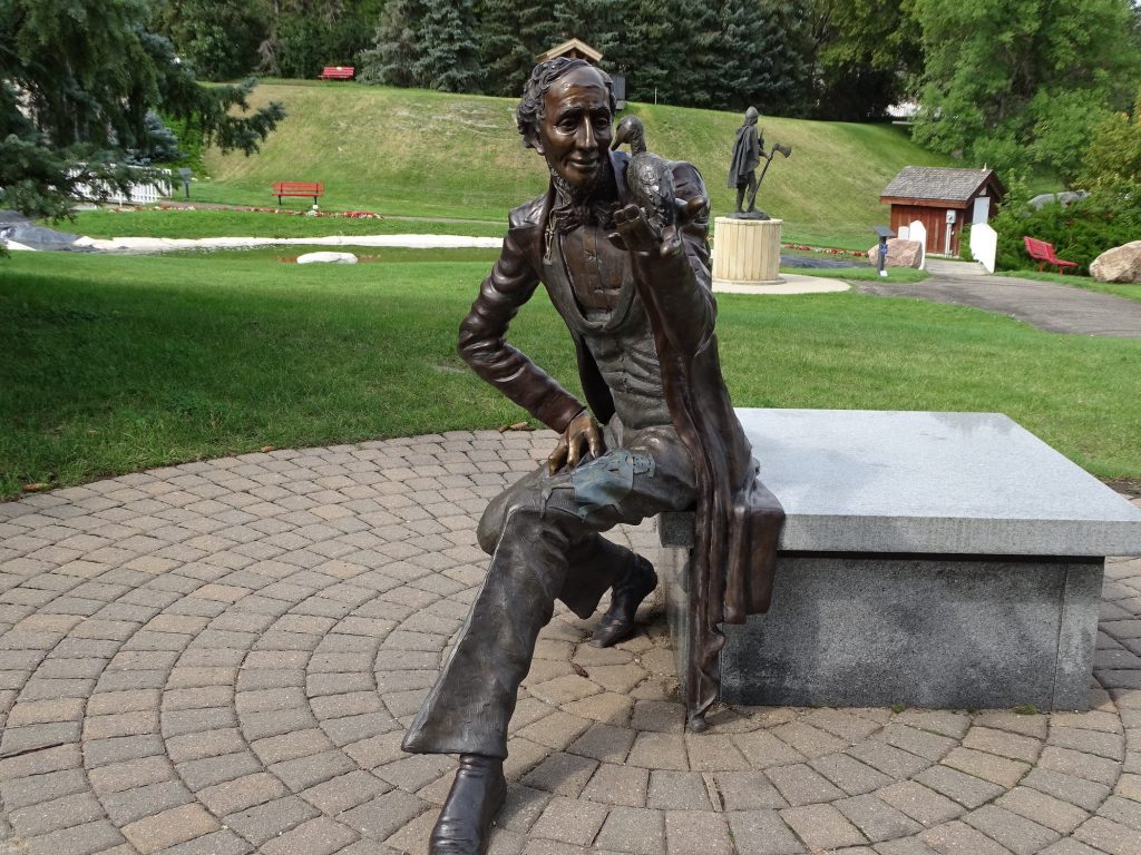
In 1883, Theodore Roosevelt came to the Dakota Territory to hunt bison. By the end of his 2-week trip, he had purchased the Maltese Cross Ranch. At his request, two partners built the cabin over that winter. Then, on Valentine’s Day in 1884, tragedy struck: Roosevelt lost his mother and his wife a few hours apart. He retreated from New York to North Dakota and established the Elkhorn Ranch, which is 35 miles north of Medora. The foundations of that home are visible today at the end of a rough, dirt road. Roosevelt’s experiences in North Dakota inspired him to lobby for protections for Yellowstone, America’s first National Park. They also led him to establish the National Park System and the U.S. Forest Service when he became President, strengthening the protections of millions of acres of public land. The original cabin was dismantled and shipped to the World’s Fair and several other events and locations before finally being brought back to this land that Roosevelt loved in the early 1960s. So the next time you go to a National Park, and I urge you to see as many as you possibly can, give a little nod to Teddy.
Maltese Cross Cabin – Roosevelt’s First Home Here
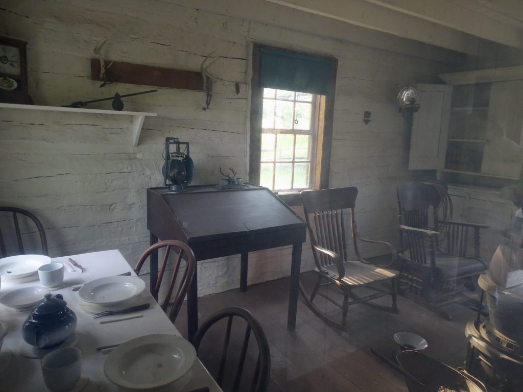
Once Filled with Cartridges – All But One Stolen Can’t You See Him Sitting There Writing?
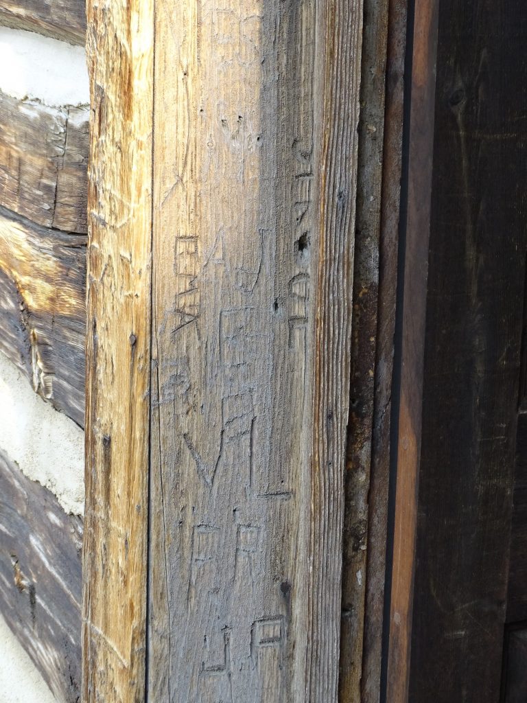
Seriously, WHO Does This to Historic Buildings?????
Done with the park, we headed back to Petunia to relax for a bit. Later we had dinner in Medora at its oldest saloon and steakhouse, the Little Missouri Saloon. I had a side salad and boneless wings and MW had fish and chips. The food was good, but the service was very slow. The decor is mostly dollar bills. Yes, you read that right. Like McGuire’s in Pensacola, the place is papered with currency.
Wednesday I headed out for chores, making my first stop in Medora at the post office. There was a lot of traffic in town and nowhere to park, so I was happy when a truck pulled away right in front of the mailbox so I could slip in. I jumped out and put the mail into the box, turned my gps on for the coming drive, and started to pull out. That is when I saw the police officer beside me. I thought he was waiting for me to pull out, so I motioned for him to go ahead. He motioned for me to roll down my window. Now, think about the most arrogant, obnoxious, mean-spirited voice you’ve ever heard and listen to him…”So FIRST you ran a stop sign, and NOW you are parked on the wrong side of the road.”
Now, let’s back up a minute. Normally, I couldn’t tell you for sure whether I stopped completely or not. I’m typically very good about stopping and don’t make a habit of rolling through stop signs, but I just wouldn’t be able to say with 100% certainty, because my short-term memory often requires a trigger. However, in this case, I could. Why? I went through two stop signs in town. At the first one, there was a lady on the corner who appeared to be about to step out into the crosswalk. Then she waffled, looked at something in her hand, and stood there. I sat still until I was sure she wasn’t going to step out, because she was not paying one bit of attention to me. I DID NOT run that stop sign. Number two was at the next corner where I thought I needed to turn to find the post office, except that I thought it would be left. When I got to the stop sign, I scanned all the way down the road to the left, looking for the flag in front of the building. No dice. Hmmmm. Now what? I was just about to go straight and I looked right for traffic. There was the flag. Awesome! I DID NOT run that stop sign, either, JACKA**!
Thankfully, I kept all of that in my head, although I’m pretty sure I have permanent teeth marks in my tongue and the furrows on my forehead are deeper. I said “I’m sorry, Sir. I didn’t plan to park here, but just jumped out to put mail in the box.” Mr. Sarcasm: “I SAW YOU DO IT! Now, HERE’s what you are going to do. You are going to DRIVE up to that stop sign (pointing to the one just ahead on the corner). Then, you are either going to go straight or turn right (despite left being an option, it apparently wasn’t a choice he wanted me to have), and I’m going to FOLLOW you to make sure YOU KNOW HOW TO DRIVE!” Deep breaths, Talisa!!! With a big smile, I said “Thank you, Sir. I appreciate that!” Then pulled out. I don’t know whether he lied about the stop sign or saw another giant, long bed, 4-door Chevy and thought it was me. As dirty as ours is, I find the latter harder to believe. As promised, he followed me as I turned right, then he peeled off to the right at the next stop. In a town that solely relies on tourist dollars to survive, you’d think their police would be a little more polite. I mean, honestly, you can do that job without being totally nasty. His whole demeanor was just ridiculous! If this had happened a little closer to home, I’d have argued with him just on principle. As it was, though, I didn’t want to have to drive back to North Dakota to go to court! After resisting the urge to circle back and flip him off on my way out of town (I know…terrible idea), I headed to Dickinson
I really wanted a bagel, but that was not to be, so I headed to the Prairie Maid Coin Laundry, which was excellent. Very clean with lots of washers and dryers, and an entire section just for oil rig clothes. Trust me, you don’t want to wash your clothes in a machine after those! It was also the first laundromat I’ve been to that also has a tanning salon on site. Not for me, but a bonus if you are into that. After getting the job done, I settled for Taco John’s for lunch and also got a little work done. (Out of deference to MW, I did not have any Potato Ole’s, though.) Back at Medora, we got everything squared away, then later went over to check out the Pitchfork Steak Fondue, which is more like an event than dinner. On top of a hill overlooking town, it is an open air dining room with live music. The main course is a sirloin steak that they skewer on a pitchfork, add their seasonings, and then fondue in soybean oil. I’m a ribeye girl, myself, but it really is a pretty darned good steak. It comes with plenty of buffet-style sides, lemonade or water, and a couple of dessert options. There is also a cash bar, if you’d like something a little stronger. Although we did not go to the musical, it is just across the parking lot, so you could have dinner and then walk over. It was a beautiful night, and we were stuffed when we headed back to Petunia.
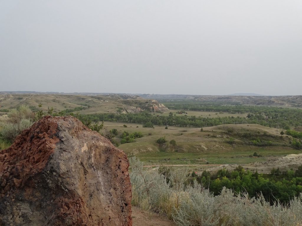
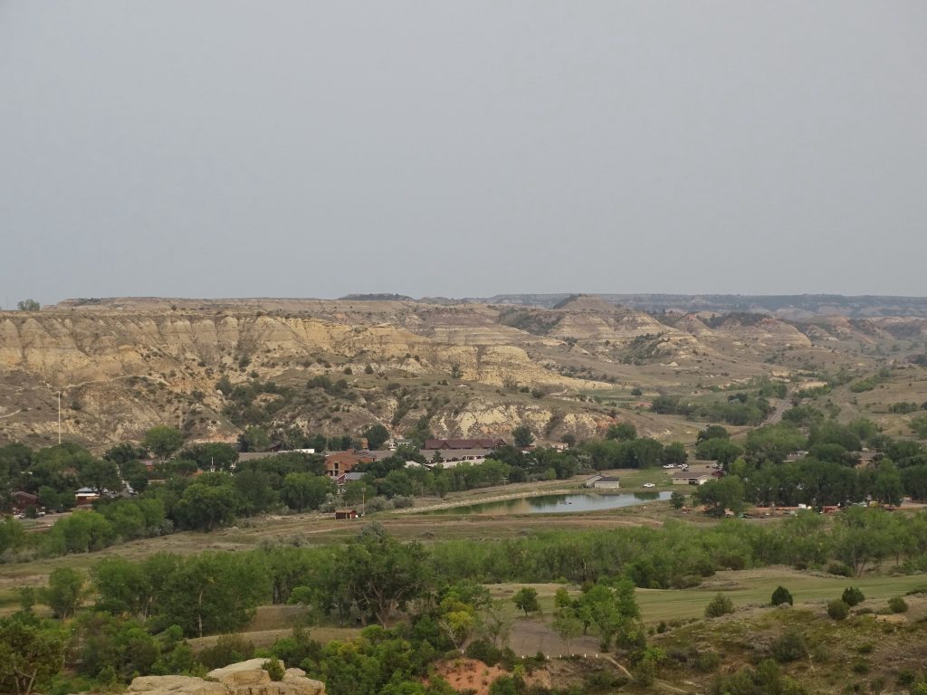
View from the Ridge View from the Ridge
Medora Play Set Medora from the Ridge
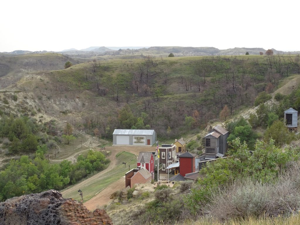
Pitchfork Outdoor Dining Area Cemetery in the Hills
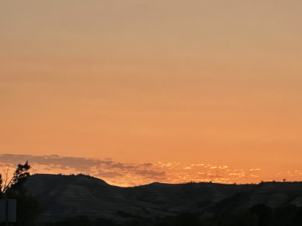
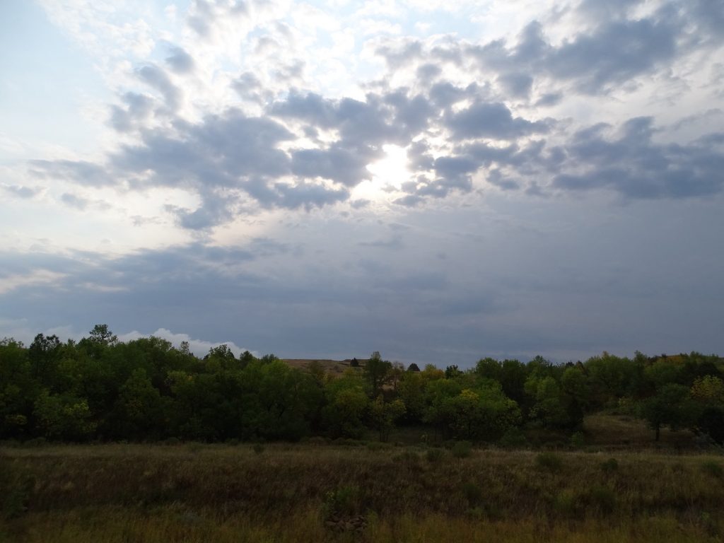
Beautiful Sky to End the Day
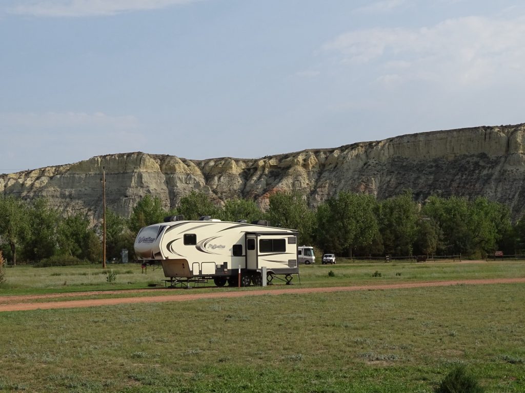
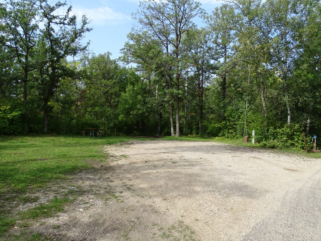
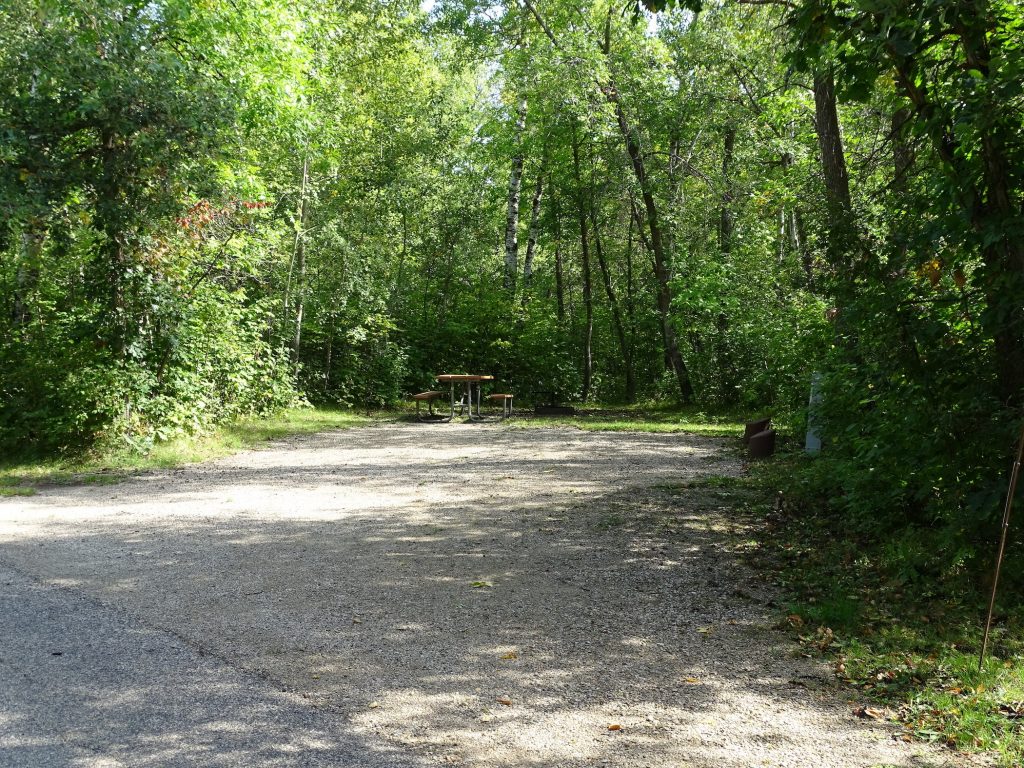
Sully Creek State Park is all about camping, horses, and the Maah Daah Hey trail. The latter is 144 miles long and goes up to the Northern Unit of the Theodore Roosevelt National Park. Only a couple of miles from Medora restaurants, shopping, and attractions, as well as the entrance to the Southern Unit of the Theodore Roosevelt National Park. There is a bathhouse and vault toilets, which are kept pretty clean. Campsites were well spaced in open fields with some trees around the edges. There are 9 RV and 7 equestrian corral sites with 50-amp electricity. (Their website says they have water at the sites also, but it is only available nearby.) There are also 10 equestrian group sites with electricity and corral access and 14 primitive sites. Cell coverage was good in the campground, but the only over-the-air TV was PBS channels. In addition to site fee, all North Dakota state parks charge an entrance fee or annual pass, and equestrian parks charge a horse fee. For this stay in September 2021, we paid $115.80 for three nights, which included $35 for an annual pass. (If you stay in the state more than 5 days, the pass is the best deal.) Sorry, I forgot to take thorough pics.
Electric Sites
The skies were threatening Thursday morning as we were preparing to hit the road. Sprinkles started before we were completely hooked up, and once we headed out of Medora on I-94 east, the real rain came. Before Dickinson, we turned north on 121st Avenue SW and zig-zagged up to ND-200 east, then took ND-22 north. As we approached the Little Missouri River, we dropped out of the rolling plains and into the beautiful river gorge, then climbed back up to the mostly flat plain. The rain was heading southeast, and we were heading north, which took us out of the soup long before entering the Fort Berthold/Three Affiliated Tribes Reservation.
Oil Pumps Near Killdeer
Still Cloudy But Not RainingPronghorn Near Killdeer
Heading into the Gorge Sun is Trying to Peek Through
Beautiful Formations North of the River
Climbing Out of the Gorge
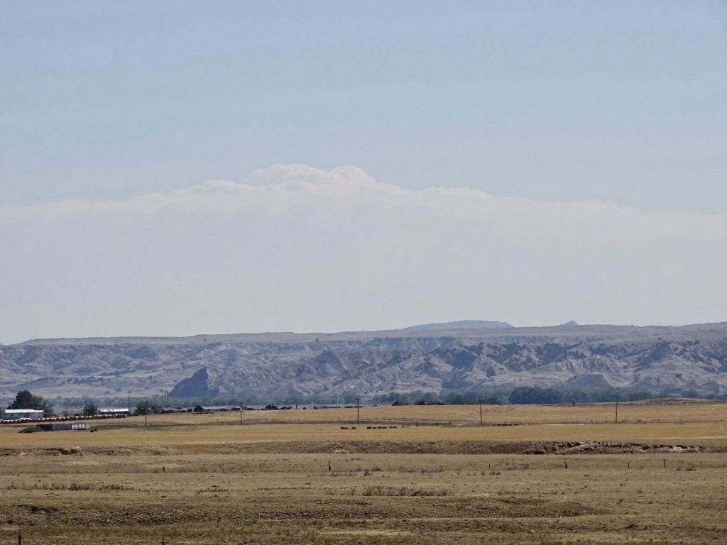
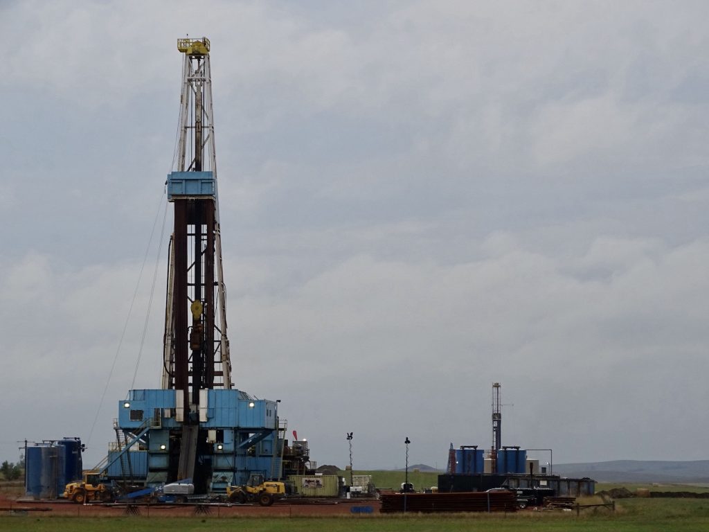
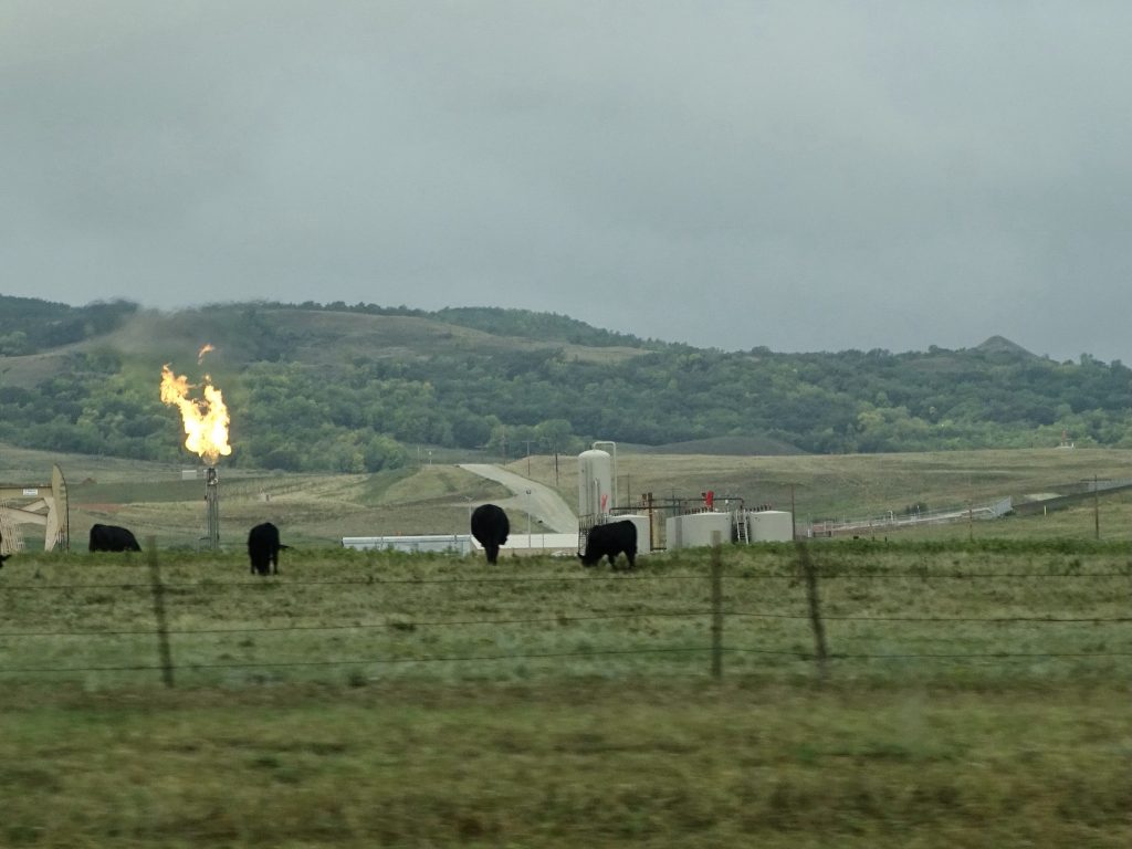
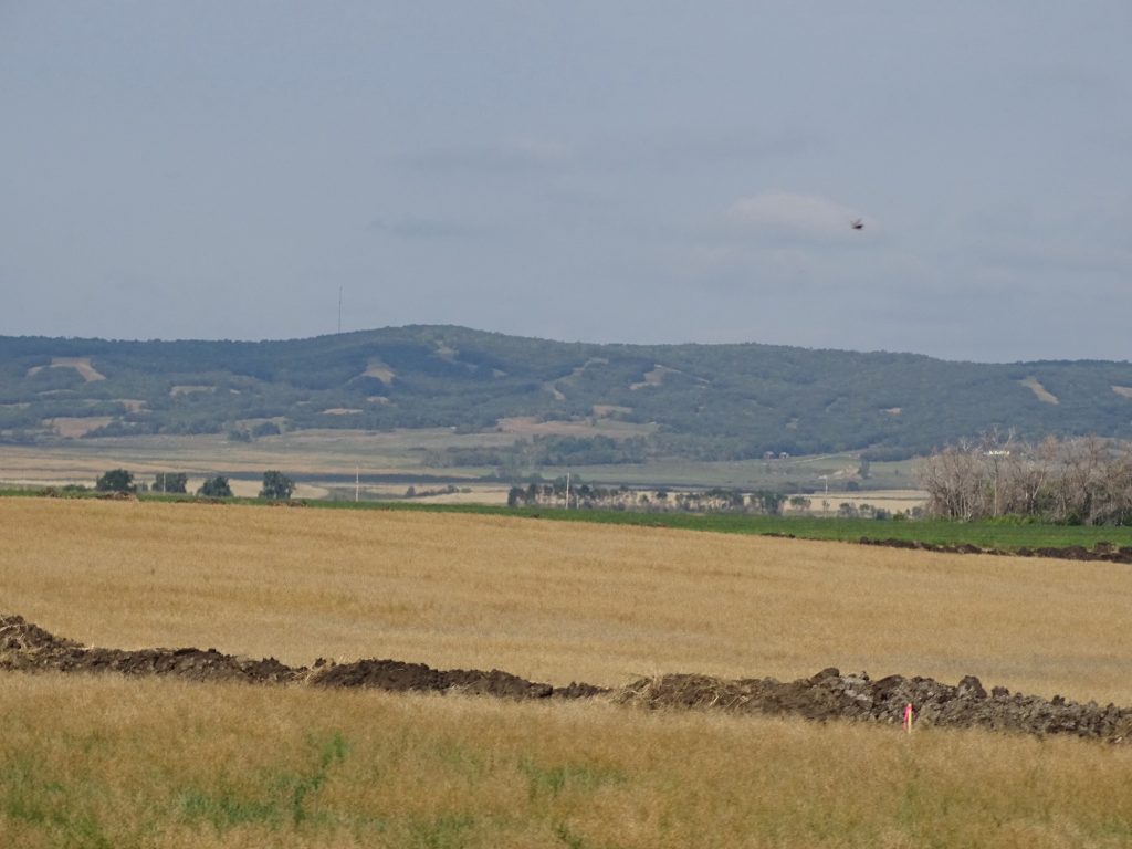
This part of North Dakota is covered with active oil rigs and drilling sites. We happened to watch a PBS show the other night about the boom that was very interesting. The first major oil discovered in North Dakota was in a wheat field near Tioga in 1951. That well produced about 585,000 barrels of oil over the next 29 years. Then came the oil boom of the 1970s and 1980s, which peaked at 150,000 barrels per day, but came to an end when oil prices dropped to $10 per barrel. The problem with booms, whether it’s gold, silver, oil, or anything else, is that they eventually come to an end. Thousands of workers poured into these tiny, agricultural towns to work on the rigs, bringing their families with them. Hundreds of support businesses, restaurants, hotels, laundromats, RV parks, etc., started up. The locals were impacted with horrible traffic, crowded everything, and shortages of supplies and groceries. Housing markets became impossible and governments were forced to enhance infrastructure like water, sewer, and roads. Then, a few years later, the boom was over, the transients leave, and the locals are left holding the bag. The now overbuilt restaurants, hotels, stores, and banks shuttered their doors. It was truly the worst description of bust. Then came Bakken around 2006, and the frenzy began again. With advancements in technology, oil that was previously unreachable was fair game, and there is a LOT of it! In 2007, the state ranked 8th in oil production. Five years later it ranked second behind Texas. Again, people came in by the thousands, and some areas doubled their population almost instantly. Crime rates went up, particularly violent and drug-related offenses, but the number of police officers went down. (You can make a lot more working on the rigs than patrolling neighborhoods.). North Dakotans were a little more prepared and had learned some things from the earlier boom, but this was a tidal wave that overtook a part of the state. It took them a few years to find their footing, but the area seems to be rolling along pretty smoothly now. Despite declines during price drops and a drastic decline in demand due to Covid, production in June 2021 was at 1.128 million barrels per DAY! That is slowly creeping up on the peak in 2019 of 1.5 million/day. (Oil and natural gas production go hand-in-hand, and they produced 2.983 billion cubic feet of gas per day in the same month.) It is estimated that the Bakken formation may hold as much as 400 billion barrels of oil, and that is only in the areas we can reach with today’s technology. Yes, the landscape has changed. No longer can you look across the vast fields and see cattle. Wait! You actually can. But like most of Texas, you will also see drilling rigs, active wells, and gas flares scattered about, too. Honestly, the cows don’t seem to mind.
Rolling Countryside Drilling North of Killdeer
Burning Off Excess Gas – They Capture about 92%
The Cows Don’t Even Look Up When It Flares
INTERESTING SIDE NOTE: During the PBS special, they spoke to various people in the area, including those involved in the oil industry. One wife of a rig worker was vying for sympathy by explaining that people didn’t understand the hard life they lead: They have to move from place to place as jobs are available. They often don’t see their spouses for weeks, or even months, at a time. Wives are constantly moving to places where they don’t know anyone. They have to do everything themselves, because their husbands are gone or working 16-hour days. Her intention was to define a situation unique to the oil industry, but she ended up perfectly describing the lives of millions of military spouses. Well, except the oil wives don’t have the constant fear of that knock on the door.
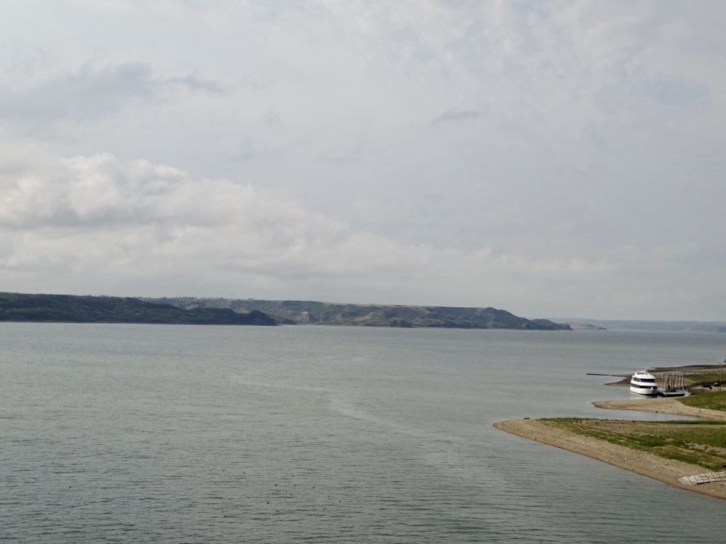
Crossing Lake Sakakawea
Look at the Size of That Boat!
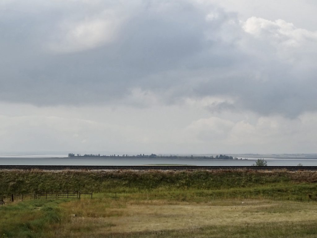
Near New Town – Still Very Grey
The Van Hook Arm of Lake Sakakawea is Just Beyond the Railroad Tracks
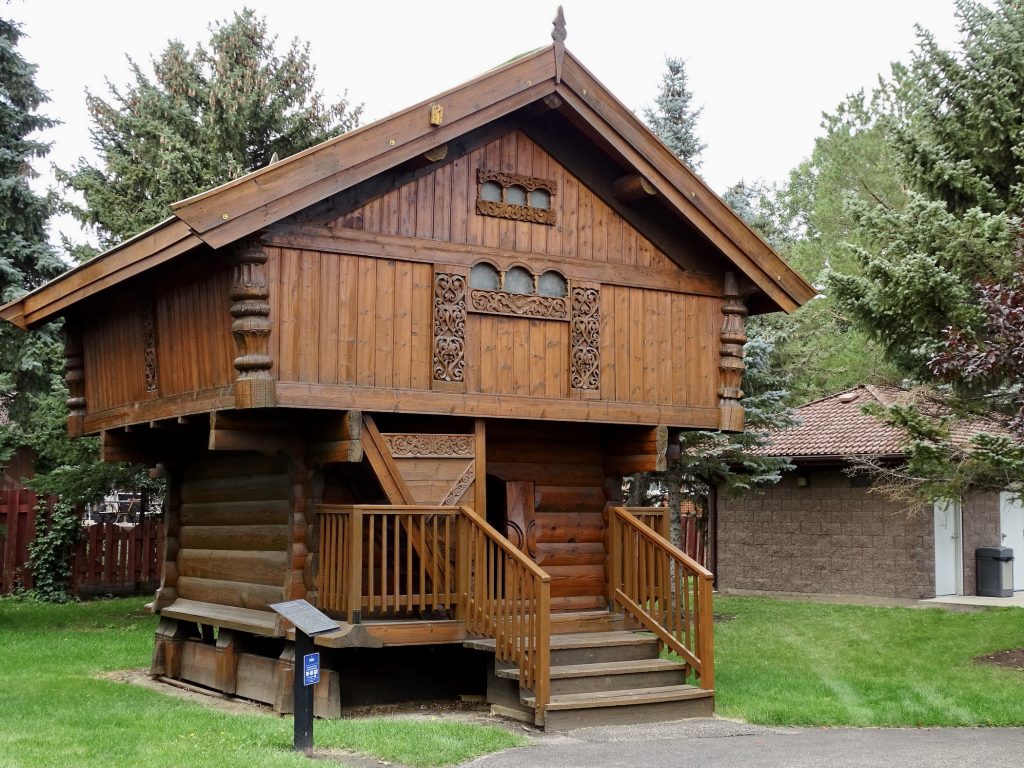
BACK ON TRACK: At the north edge of the reservation we turned east on ND-23 and passed through New Town, one of the places mentioned in the oil documentary. After stopping for gas, we turned north on ND-8 and headed up to Stanley for lunch at China Express (a run-of-the-mill, quick Chinese place). Next we headed east on US-2 into Minot, where our first stop was Target for a few supplies. Next we checked out the Scandinavian Heritage Center. In addition to our atlas (yes, we have a printed map in this era of digital everything), we use the Roadside America site often to find things to see. That is where we found this neat little park. Established in 1988, it is designed to celebrate the heritages of the five Scandinavian countries…Denmark, Finland, Iceland, Norway, and Sweden…whose descendants settled this part of America. There were some pretty cool things to see.
For the Young in the Crowd – Our Backup GPS
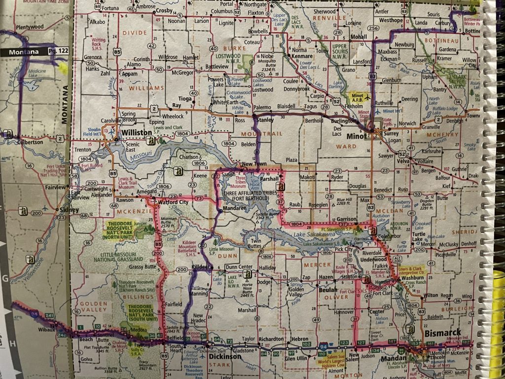
Different Colors are Different Trips
Replica of a 1750 Norwegian Stabbur or Storehouse
This One Was Built in Norway, Then Disassembled and Shipped to Minot for Reassembly
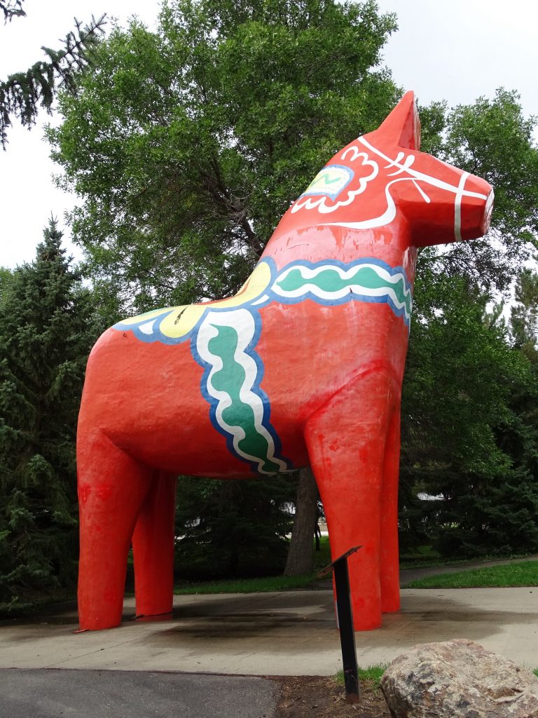
Dala Horse
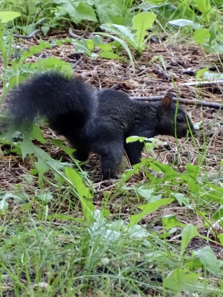
National Symbol of SwedenHaven’t Seen Black Squirrels in a While
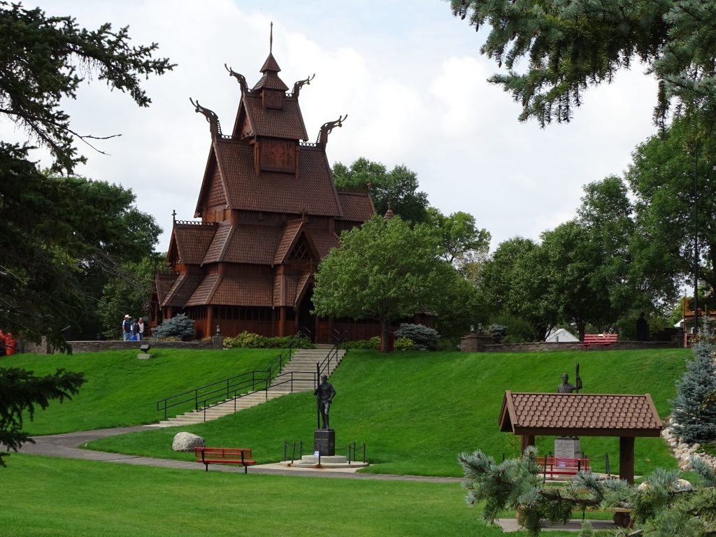
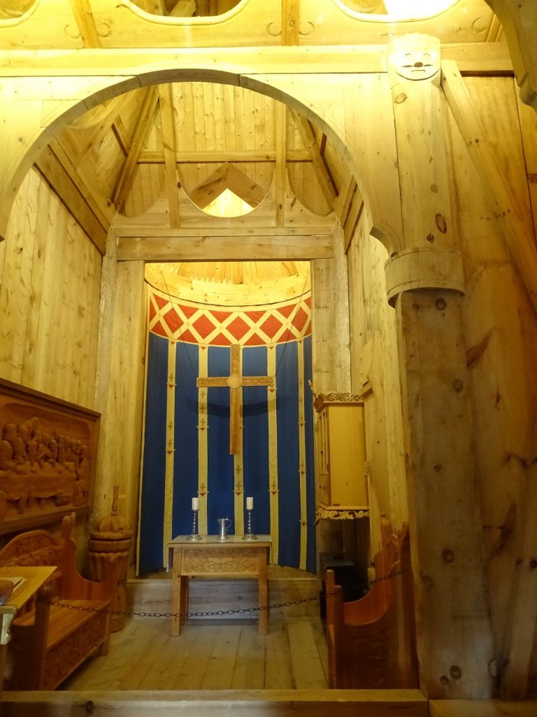
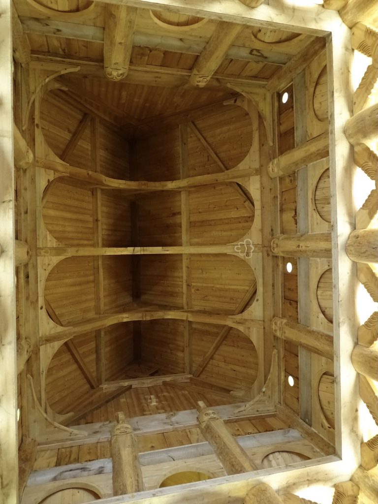
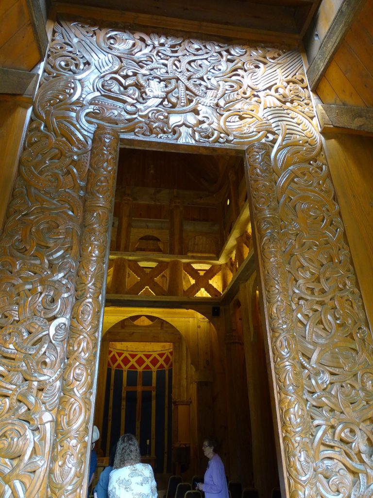
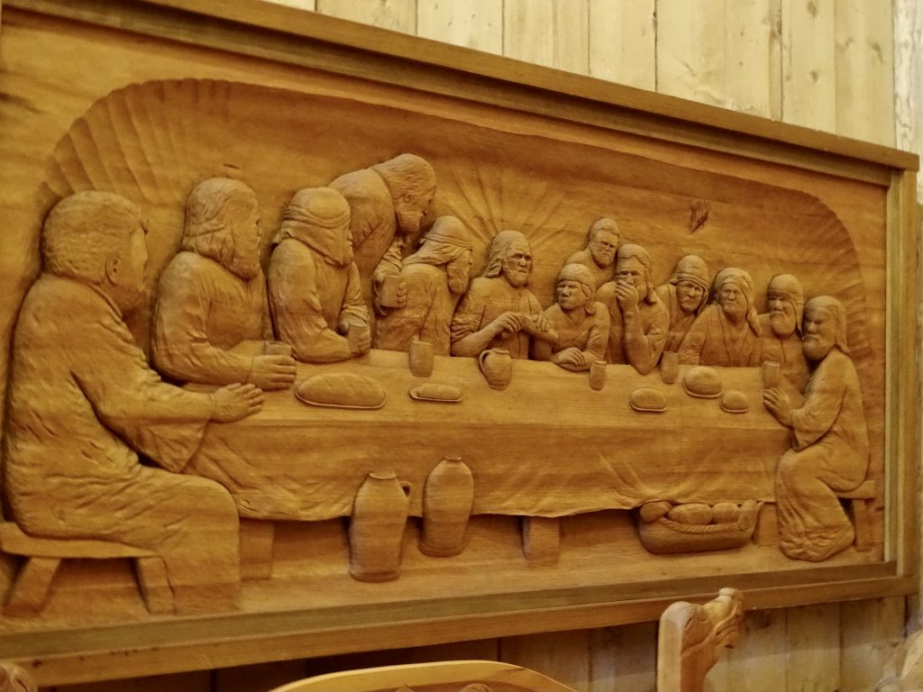
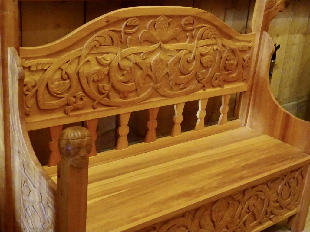
Full-Size Replica of a Mid-1200s Gol Stave Church on the Hill
King Oscar II Had the Original Church Moved to Oslo in 1884
Woodwork is Quite Amazing Ceiling
Main Entrance
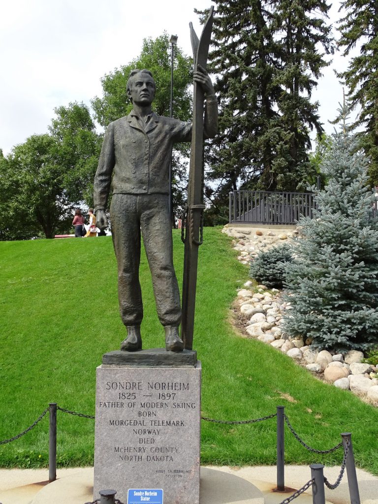
Sondre Norheim
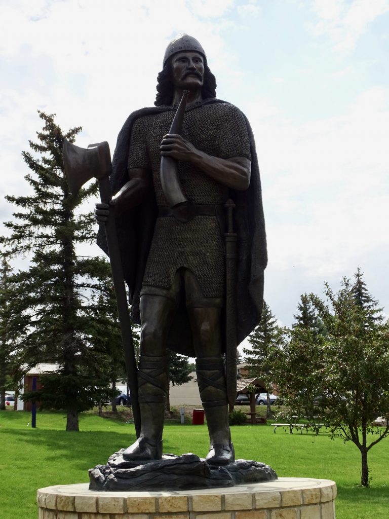
The Father of Modern SkiingExplorer Leif Eiriksson
Love This Statue of Hans Christian Andersen
His 200+ Stories Includes “The Ugly Duckling” and “The Little Mermaid”
After enjoying a good walk in the park and checking out all of the cool stuff, we continued north on US-83. At ND-5, we turned east, then zig-zagged up onto the Turtle Mountain Plateau to our destination, Lake Metigoshe State Park. Although there is still some oil production in this far northern part of North Dakota, it is much less than it was nearer to the Missouri River. Everything is mostly flat, open farmland until you climb up on the plateau. Then there are hundreds of little lakes and lots of recreation opportunities including summer water sports, camping, snow skiing, snowmobiling, cross country skiing, ice fishing, and hunting.
Wide, Open Farmland Ski/Snow-Mobile Areas on the Plateau
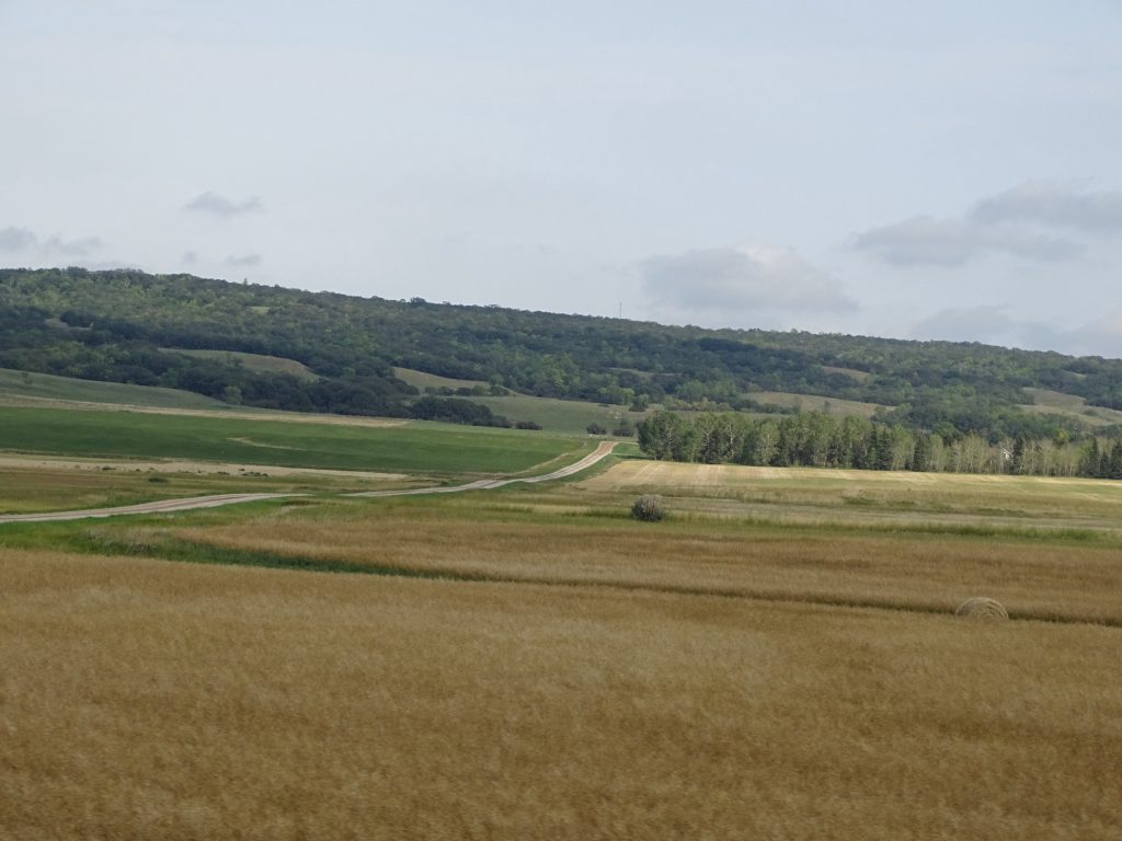
The Turtle Mountain Plateau Fresh Hay and the Mountain
On Friday MW and I celebrated 28 years together. Well, married anyway. We’ve actually been friends since the first day of our junior year of high school, which was quite a bit further back. LOL. The day started slowly after a terrific night’s sleep. There were only a handful of people in the park overnight, and with the quiet and windows open in the cool (49ish) night air, it was HEAVEN! We hung around in the morning just relaxing, then took a walk around the park and up to the Ranger’s Station. When we got back, I paid a few bills for both me and clients. (It’s a dirty job, but someone has to do it sometimes.) Before lunch, we headed over to Bottineau to drop off some outgoing mail at the post office and recycle some used motor oil at the car parts store. We drove around the little town a bit, too. By the time we got back to the park, the holiday weekend influx had begun in earnest. I made egg salad for lunch, and we enjoyed the relaxing afternoon. For dinner, we headed over to Birchwood Steakhouse and Lounge for dinner. Prime Rib, ribeye, and wine were the main events, and all were very good. We made it back to Petunia in time to watch an old movie before turning in, too.
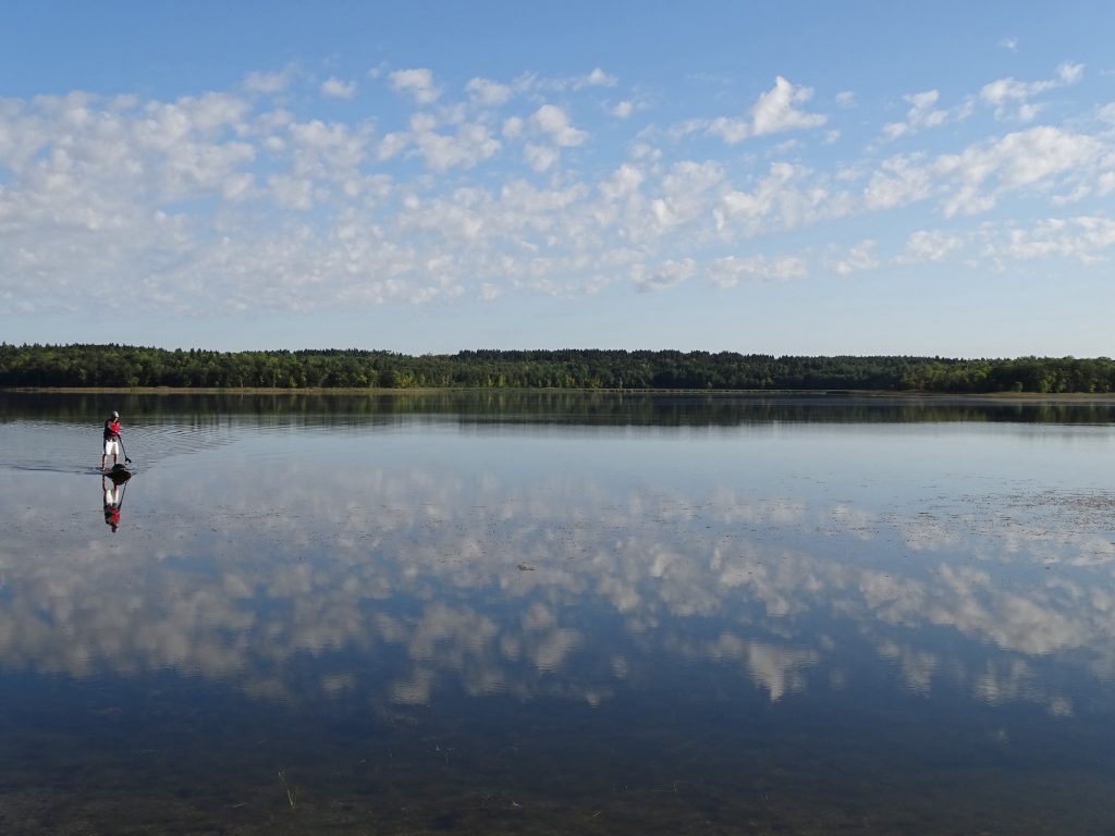
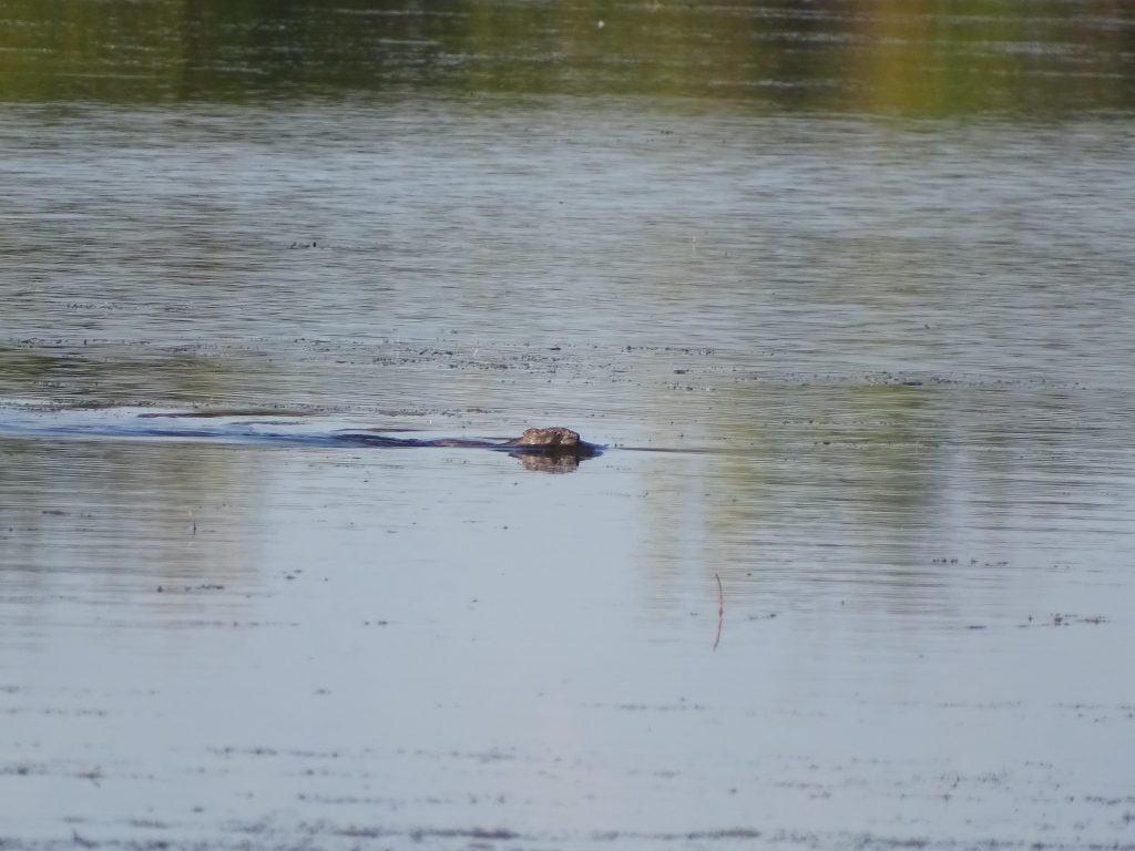
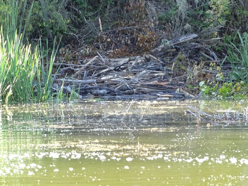
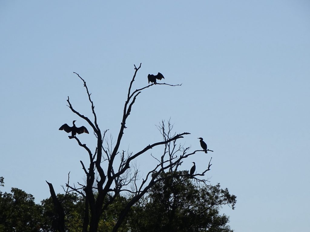
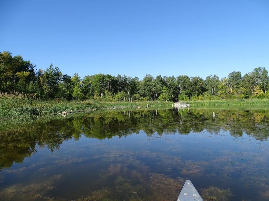
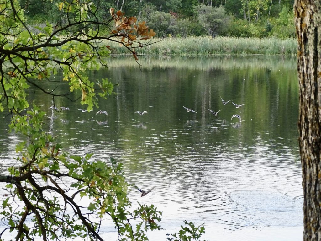
Saturday morning started with canoeing on School Section Lake which is adjacent to the campground. It was about 50 when we headed out to walk to the canoe ramp, and I bundled up in two long-sleeved shirts and a jacket. Before we made it into the canoe, the jacket came off, and not long after that, so did the outer t-shirt. It was a beautiful day, and we enjoyed the scenery. We went around the lake edge over to the portage to Eramosh Lake and walked over to take a look at Canada on the other side. We ran into an airman stationed at Minot AFB who was very nice. He was on a paddle board and had come all the way around School Section and carried it over to Eramosh. When we met him, he had already gone all the way around and was ready to haul the board back to School Section. He said his feet were killing him, because he wasn’t used to standing straight in one place for so long. He still had to go back across to the campground, too. He also said there were lots of active beaver lodges on Eramosh. Maybe next time we will take the canoe over. Just as we were pulling out, we saw a muskrat swimming across. Earlier I saw what looked like a cormorant swimming on the lake. I worked hard to get a pic, but he was actually diving and swimming a good ways underwater before resurfacing. Interesting. As we were coming back around the shoreline, we saw a beaver lodge and a beaver swimming towards our path. He turned around and headed for home, and just as I got the camera up, he dove and splatted the water with his paddle tail. Dang! There were also plenty of other water birds, including the ever-present seagulls and pelicans. At one point we also scared a deer away from the shore. We were out for almost 2 hours, and returned with the certainty that we would both be sore later. It was a great morning, though! After getting cleaned up, we headed over to the Metigoshe Drive-In, which is a little shack with a nice outdoor eating area with picnic tables. MW was drawn in by the sign that said “Home of the Famous Pizza Burger”. It turned out to be much like a meatball sub. There were also a huge variety of shakes. While we were waiting for our meal, we talked to two guys who drove up from Fargo (southeast corner of North Dakota) to get their hunting cabin ready. Come Tuesday, all of the summer stuff will close down, and the focus will shift to hunting and ice fishing. We took our food back to Petunia, planning to sit outside and enjoy the weather. No sooner had we set up, then we were inundated with yellow jackets. It seems they are pretty fond of pizza burgers, too! They forced us indoors to finish eating, but we came back out later. They were much less interested when no food was present. I spent the afternoon writing and catching up on a bit of work. Then we had a quiet night with a movie and leftovers.
Path to the Canoe Launch It Was a Cormorant…Honest!
Canada Across Eramosh Lake – Oh And the Airman from Minot AFB
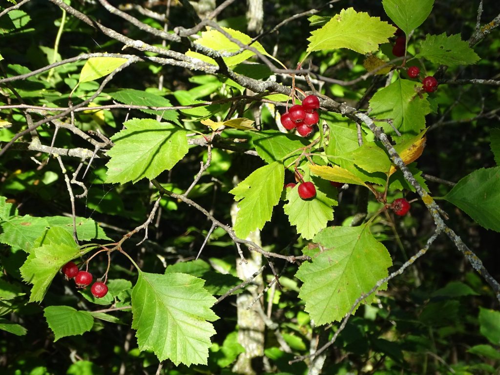
Hawthorn – Fruit Has Good Stuff for the Heart
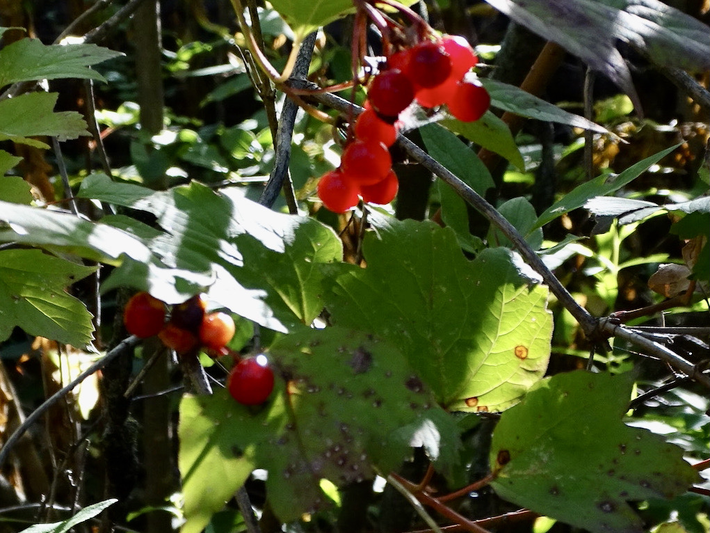
Be Careful – Seeds Contain a Form of CyanideBut What is This One?
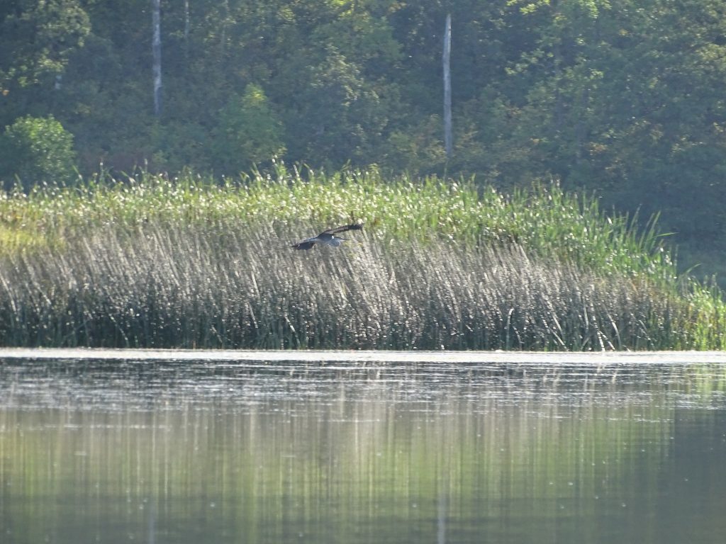
Heron Didn’t Want to Talk Muskrat on the Move
School Section Lake and Our Conveyance
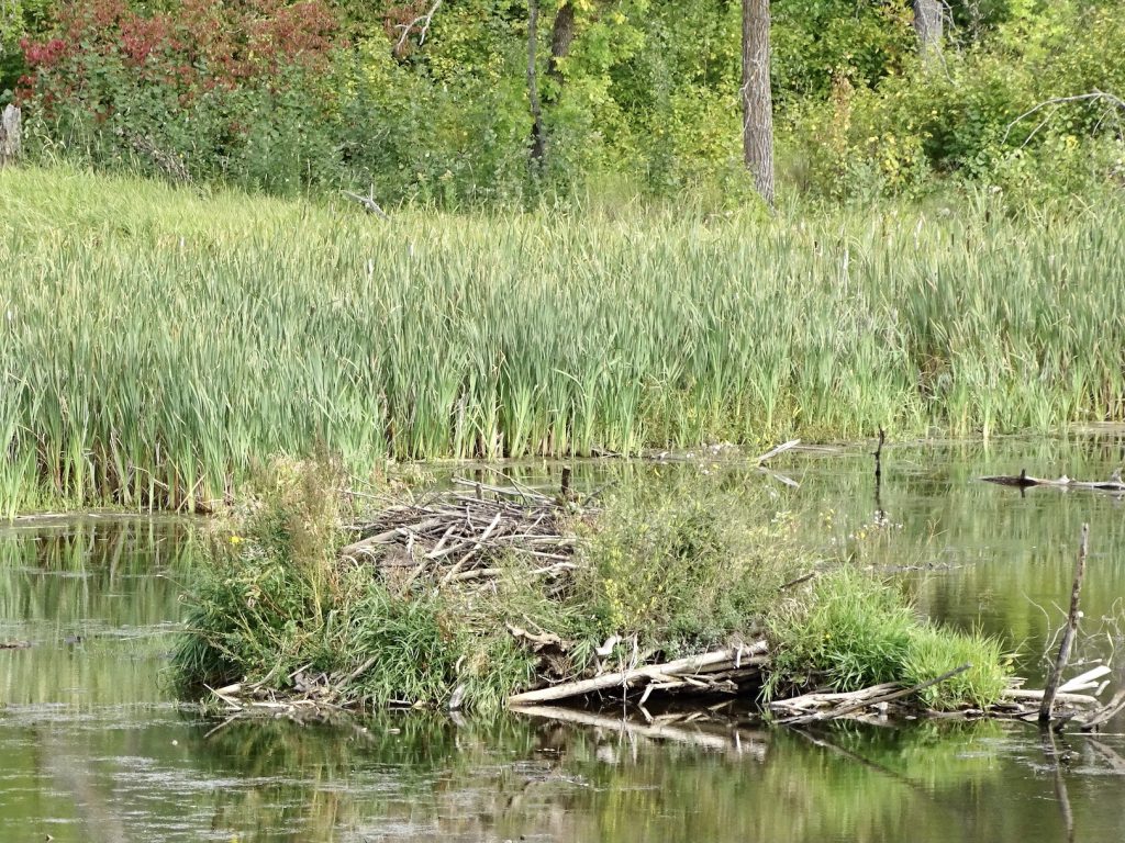
Beaver Lodge Wing Drying
Canoe Dock 12:00 Greeters
Okay, You Got Too Close!
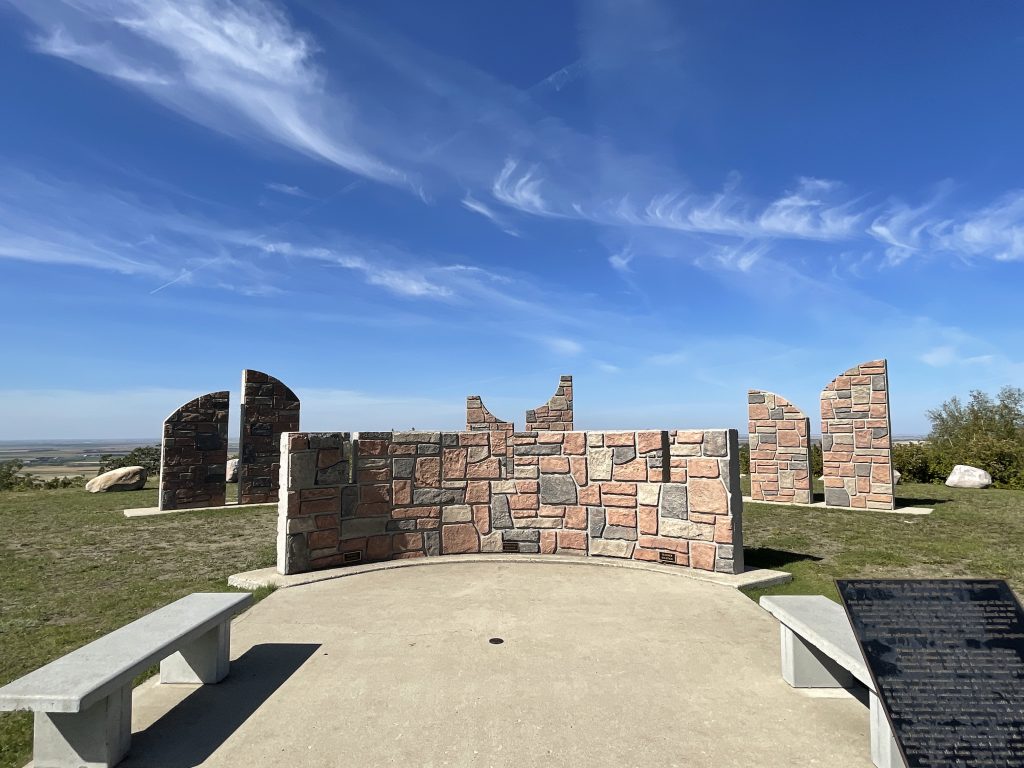
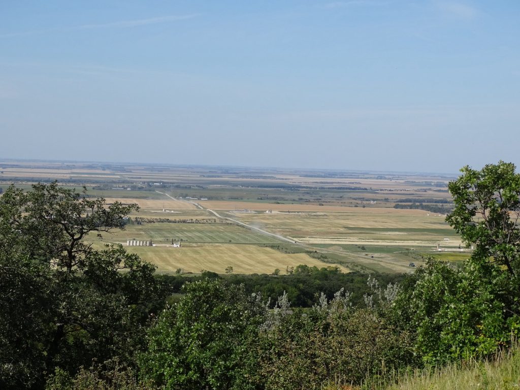
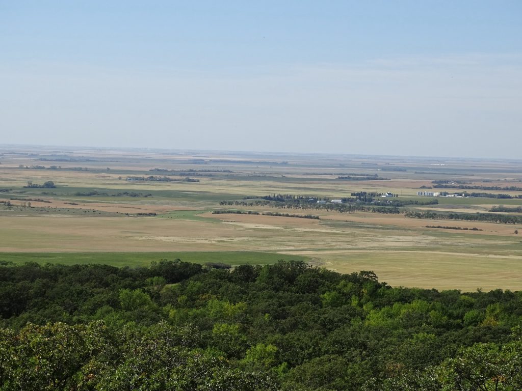
Sunday started with relaxation, followed by brunch at Birchwood Steakhouse and a trip to the grocery store in Bottineau. Next came a drive up to Mystical Horizons. Touted as the “Stonehenge of the Prairie”, this place has structures made out of stone and cement to view the vernal and autumnal equinox and the summer and winter solstices. There is also a large sundial that is very accurate when adjusted for Daylight Savings Time. The builder, John “Jack” Olson, was a Turtle Mountain resident and a very interesting fellow. A Boeing engineer for 25 years, he was also a talented artist. Twenty-one of his aerospace and aviation related paintings hang in the Smithsonian’s Air and Space Museum. You can also add pilot, writer, and inventor to his list of accomplishments. The view alone of the farmland looking west from the Turtle Mountains is worth the drive.
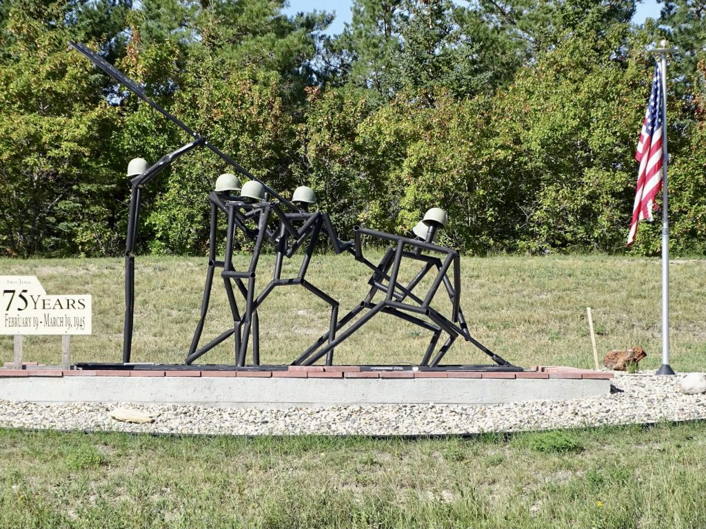
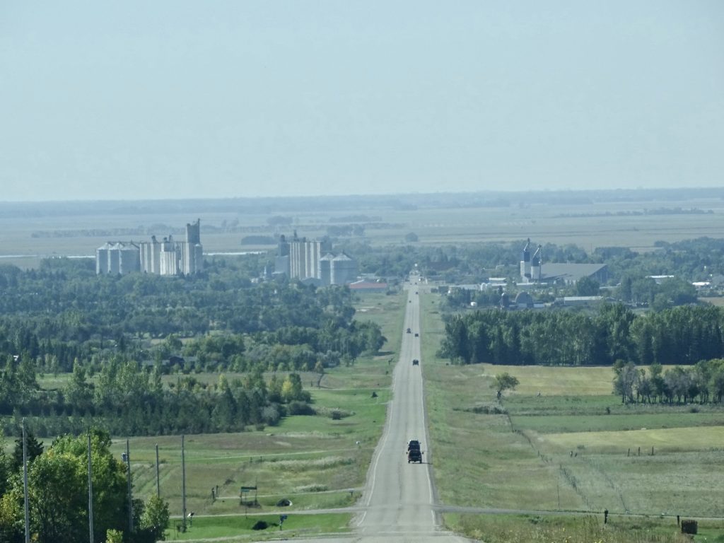
Private Display On the Road to Bottineau, ND – Made for the 75th Anniversary of Iwo Jima
Road to Bottineau Pretty Spot On
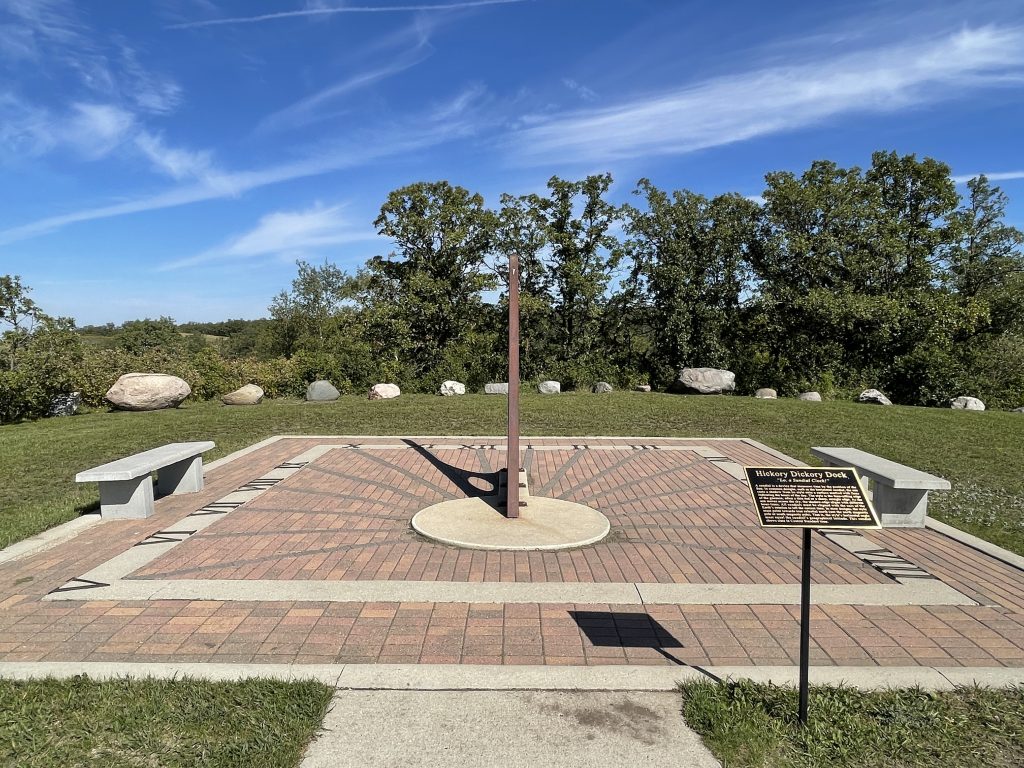
“Stonehenge of the Prairie”
We returned to Petunia, where I soon felt a migraine coming on. Ugh! My upper back and neck were really sore from rowing the day before, and pretty much any stiffness in my neck can lead to a headache. In this case, it was a pretty significant one, and the miracle meds didn’t kill it. I spent the afternoon feeling puny while MW enjoyed the weather.
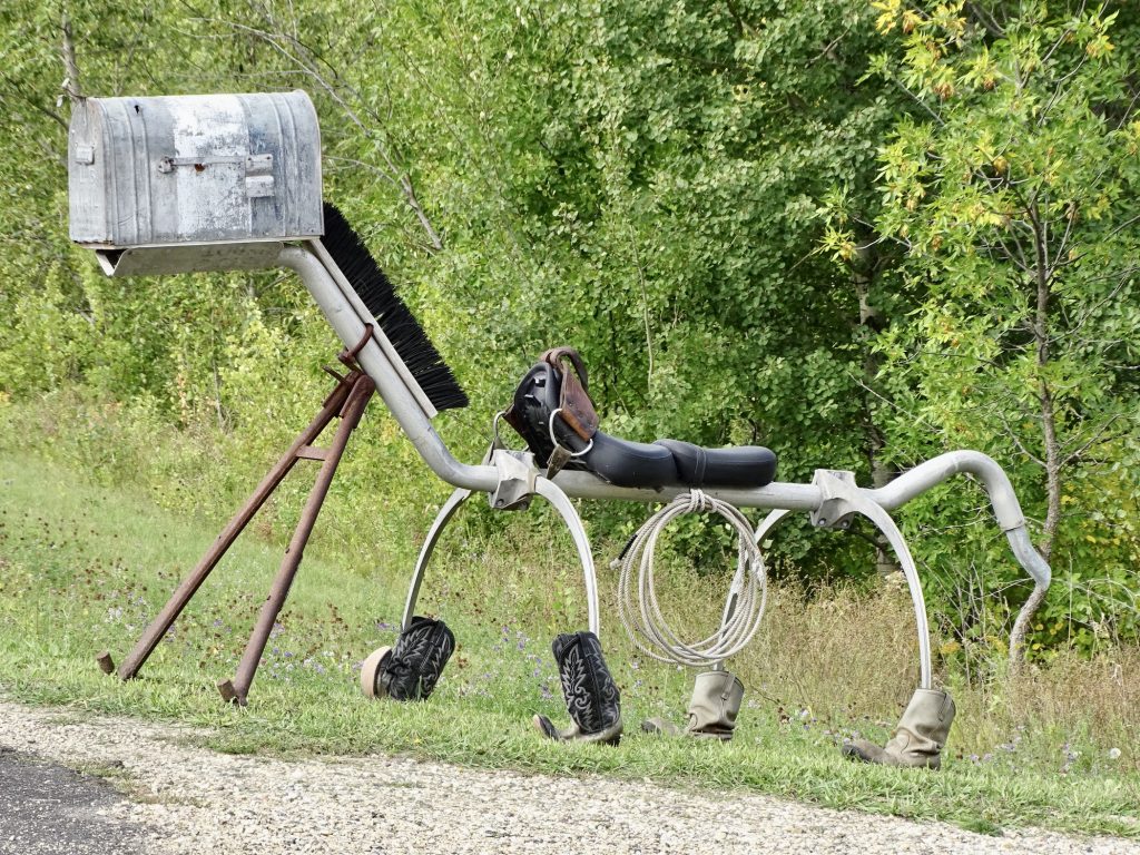
Coolest Mailbox I’ve Ever Seen Beaver Lodge
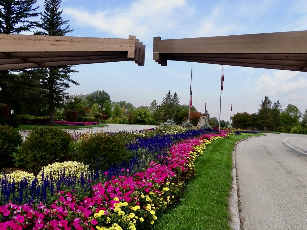
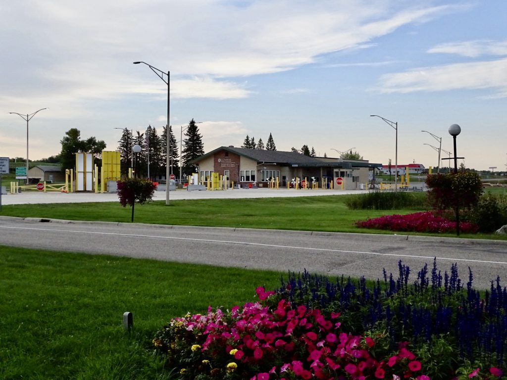
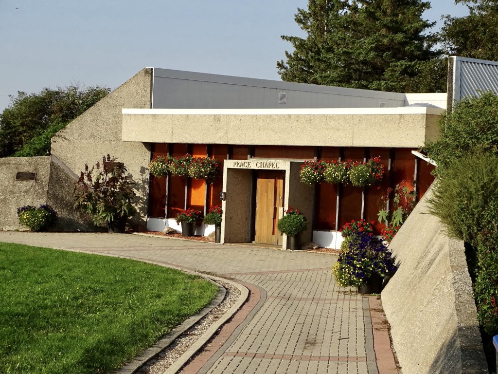
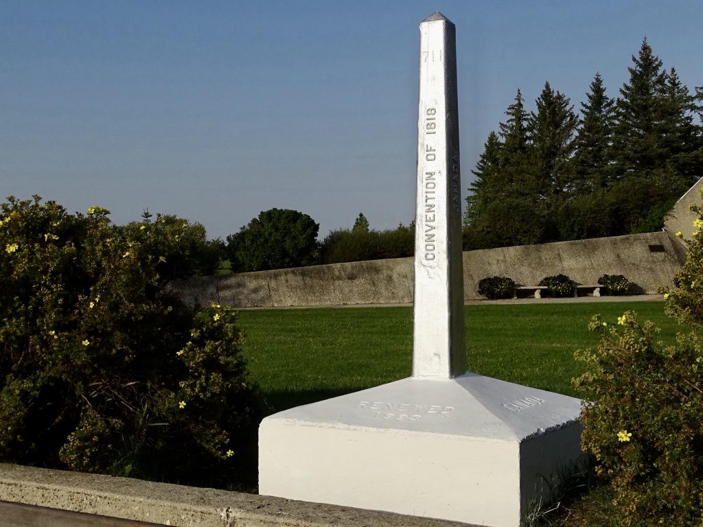
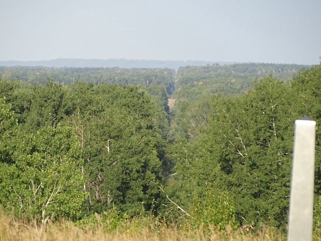
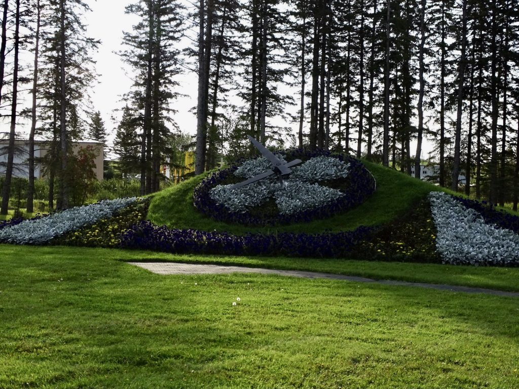
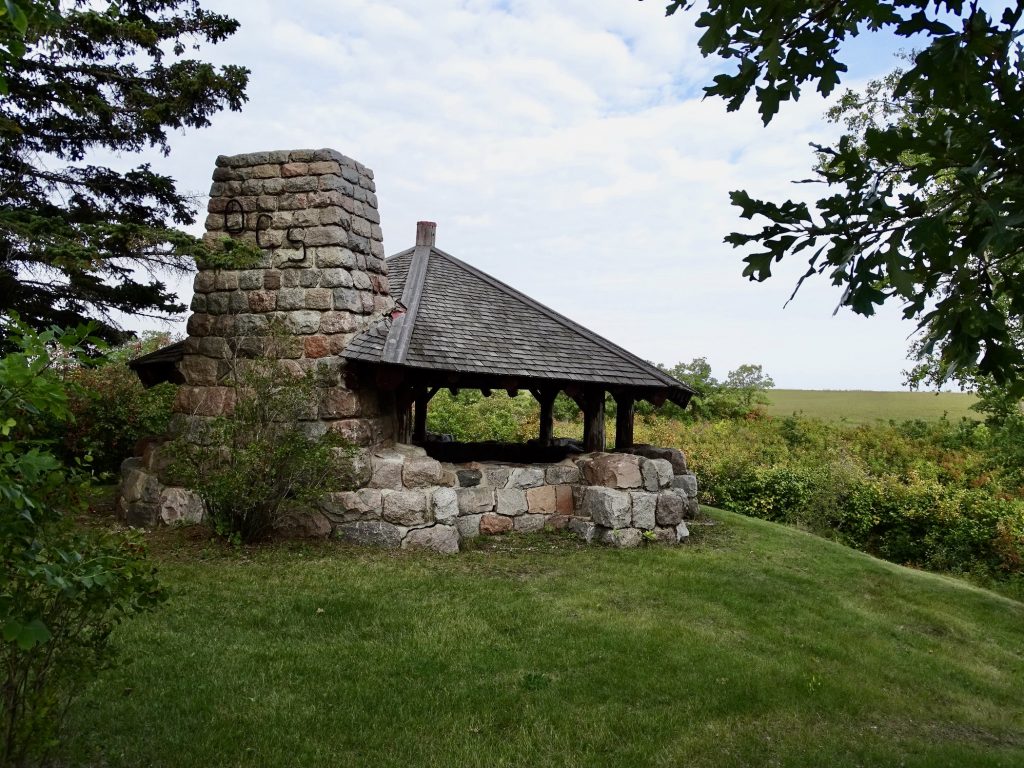
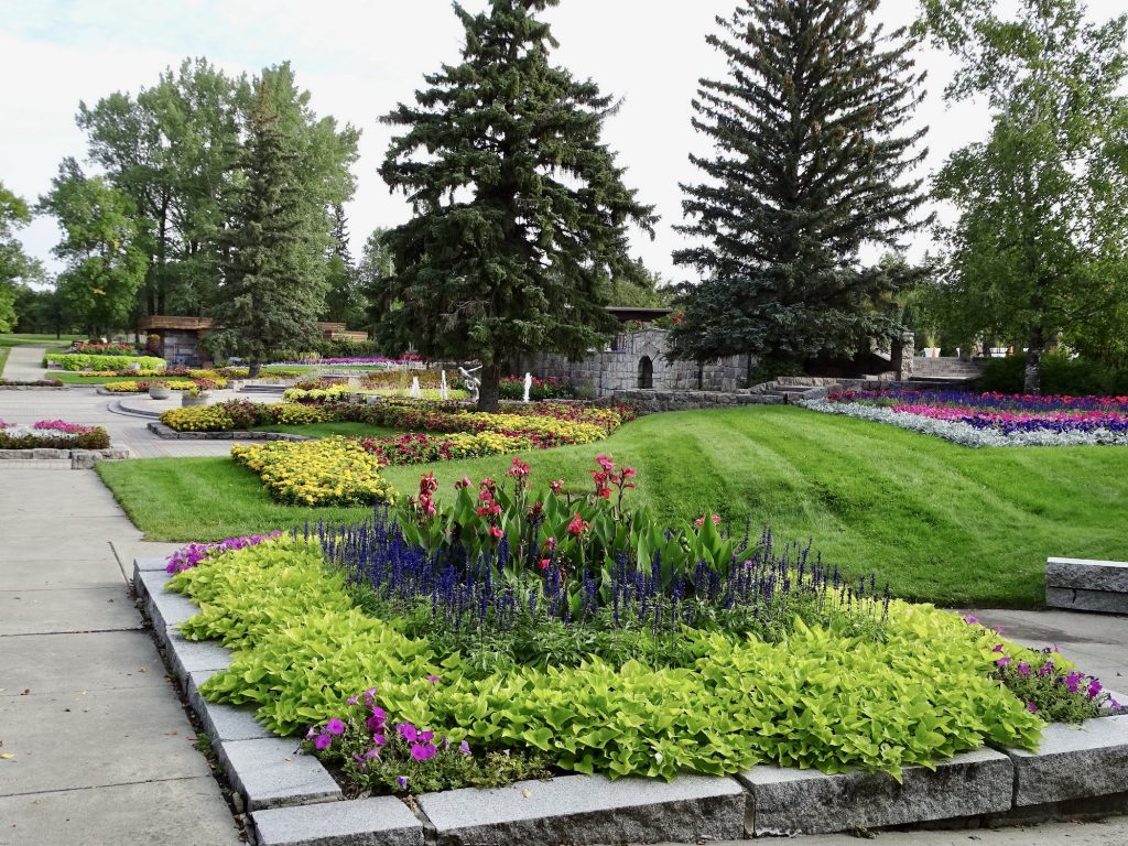
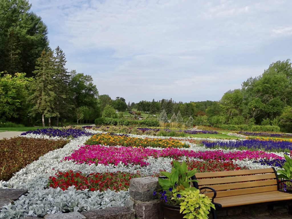
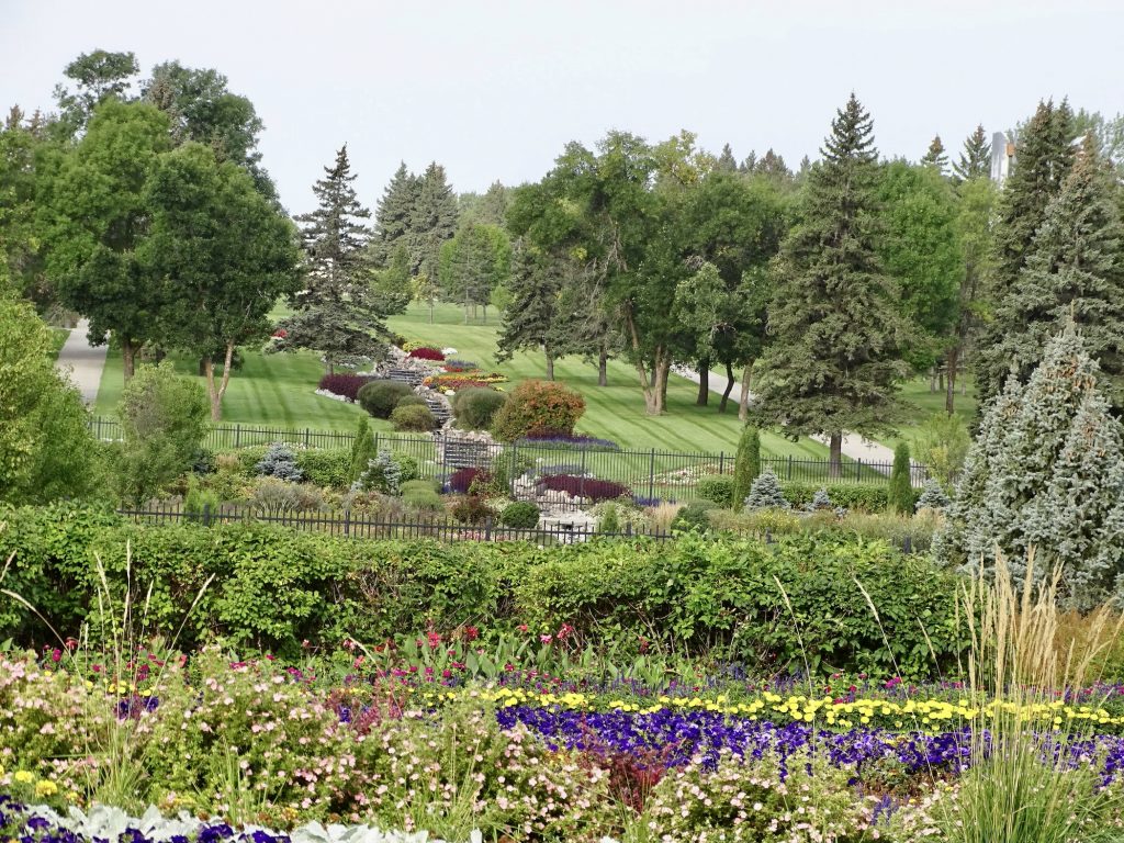
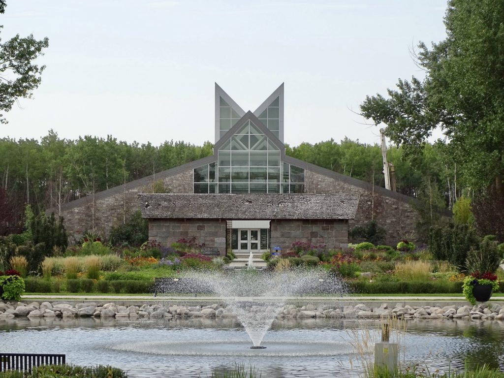
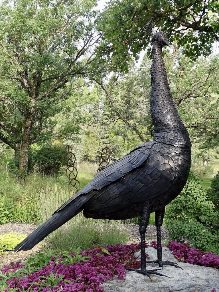
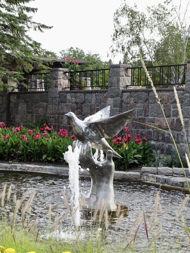
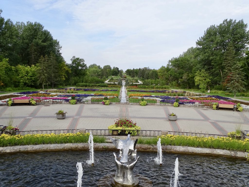
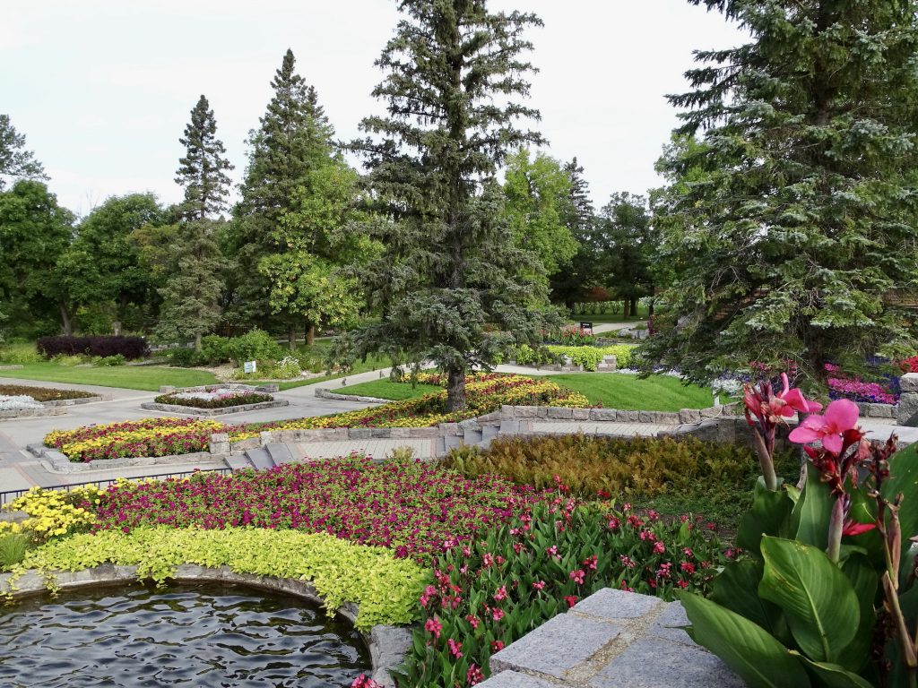
Monday we headed out early to check out the International Peace Garden. Located due north of Dunseith, ND, this park straddles the US and Canadian border, and both countries participate in its maintenance. In 1932 the site was dedicated near the geographic center of North America, and 1451 acres from Manitoba and 888 acres from North Dakota were donated to the cause. The physical job of turning the prairie and forestland into a garden fell to the Civilian Conservation Corps (CCC), and evidence of their work in the stone structures still stands, including the oldest building in the park, The Historic Lodge. The garden entrance sits between the US and Canadian customs checkpoints at the border, and is the only place in the country where you can legally stand on foreign soil without clearing through customs. (UPDATE: Per cousin Nancy Shelton, it isn’t the only place. You can also go to the Peace Arch Park north of Seattle near the town of Linden for a similar experience. Thanks for keeping me honest, Nancy! See you on the path!) The beautiful formal gardens have sculptures, fountains, a sunken garden, floral flags, and a floral clock. There is a conservatory and interpretive center, gift shop, cafe, 9/11 memorial, and chapel along the path, too. Beyond the main gardens there are two lakes, one in each country, where you can kayak. There is also a Game Warden’s Museum on the property, which we were told was pretty neat. (It was closed when we were there.) There are many picnic areas and an abundance of hiking/biking trails throughout the park, and even some geocaching opportunities. For those who would like to stay a bit longer, there is a nice campground nestled in the aspen and oak trees with sites that would accommodate any rig, some including electricity and water. We arrived around 8 AM when they opened and drove the big circle through Canada and the US. On the Canadian side, a moose came out in the road in front of us, then quickly disappeared into the woods. MW used his now famous moose alert…”MOOSE, MOOSE, MOOSE” to make sure I saw him. We stopped to take a look at the Peace Chapel and were a little perplexed. On the website they talk about the “beautiful” architecture, but we both thought it was simply awful. Inside are quotes from various world leaders and dignitaries about peace. Problem was, the place was filled with flies! We walked in and walked out immediately. That was the only negative in an otherwise very nice day. After finishing the drive, we stopped at the central gardens to walk around. As we approached the sunken garden, there was a large, closed gate on our path. Well darn! We saw that the gate on the other side was open, so we carefully picked our way across on a stone wall without disturbing any plants. As we approached the open gate, we read the sign. The gates were supposed to remain closed, but were not locked, to deter the deer. Well, we really should read the signs, shouldn’t we?! Lunch was sandwiches at the cafe, and we managed a little more Christmas shopping in the gift shop. It really is a beautiful park and is worth a visit.
Entrance to the International Peace Garden
The Border Runs Between the Flags
US Customs Canadian Customs
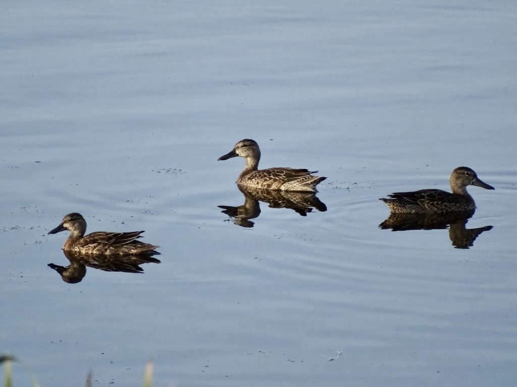
Lake Storman in Canada Female Blue Winged Teal
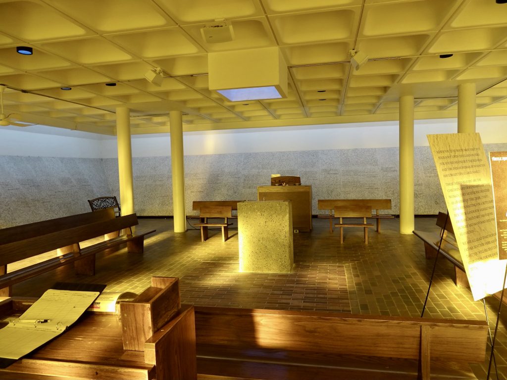
We Didn’t See the Appeal The Inside Was Worse…Plus FLIES!
More Than 8,000 Posts Are Spread Along
The US and Canadian BorderThe Border
A 20′ Cut Runs the Entire Length
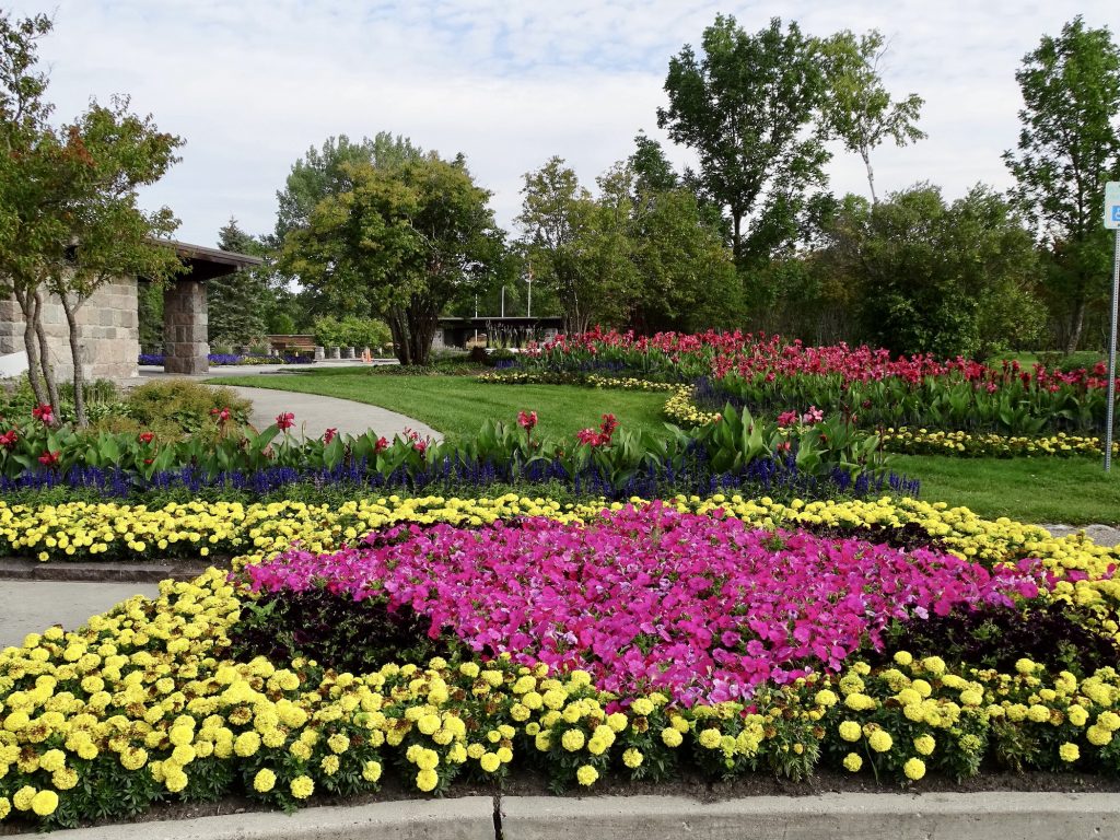
Floral Clock
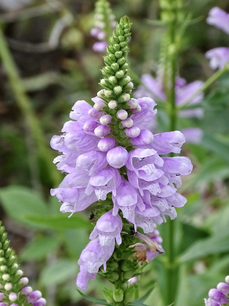
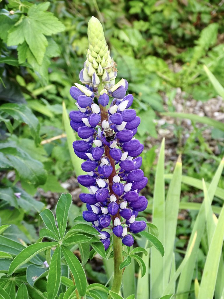
Obedient Plant Isn’t He Gorgeous! Lupinus
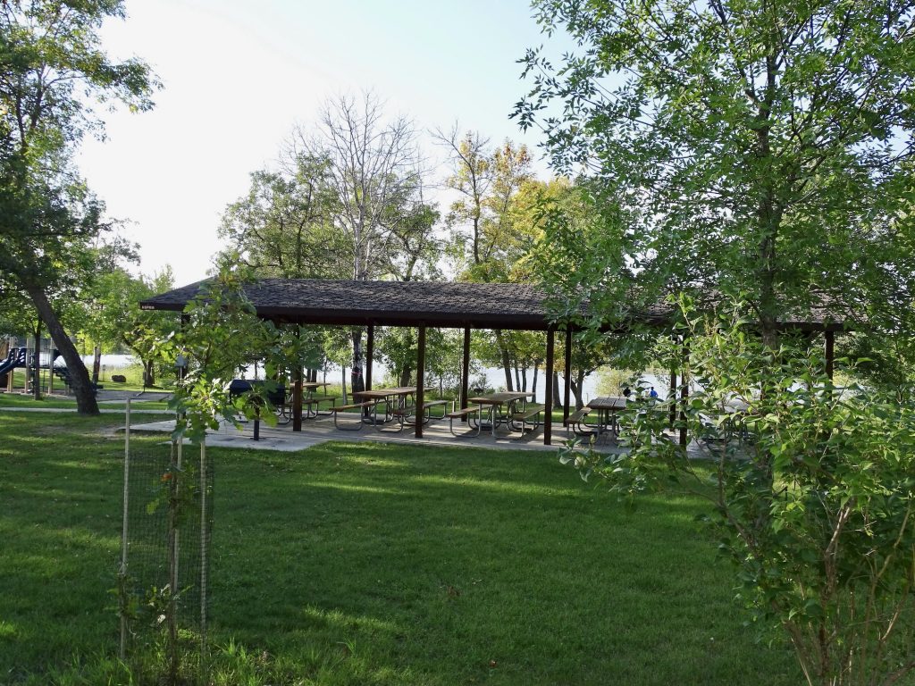
CCC-Built Picnic Pavilion Beautiful!
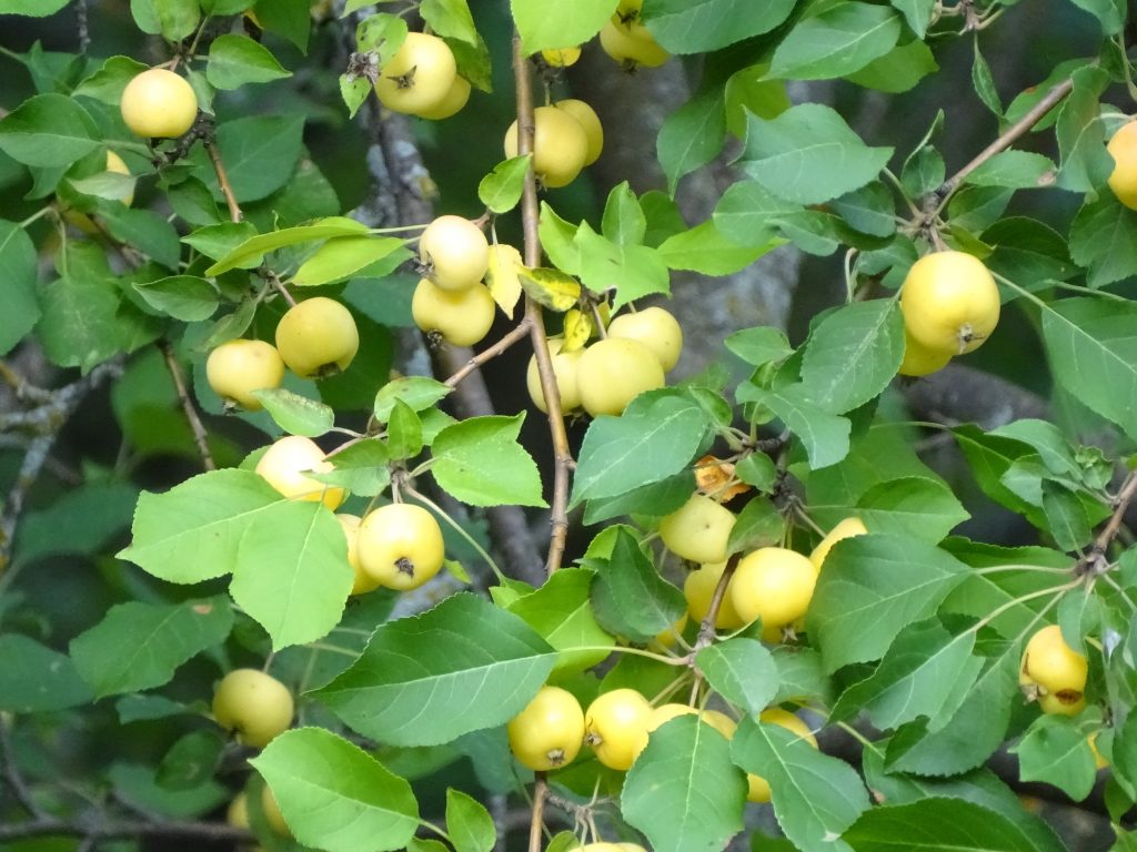
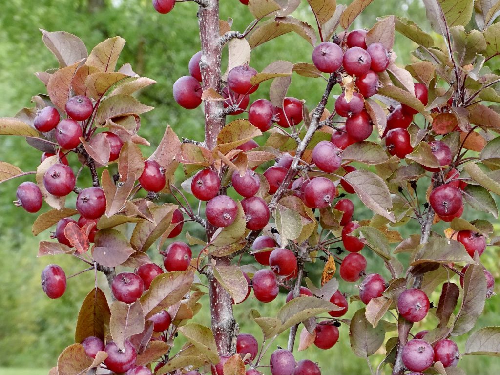
Yellow Crabapple Look At That Color! Red Crabapple


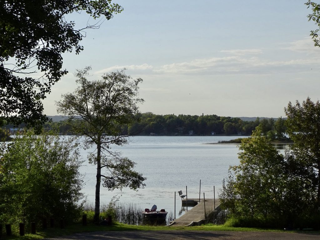
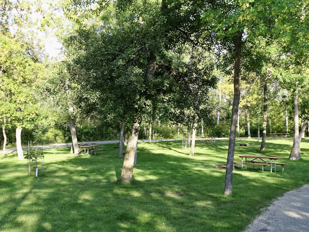
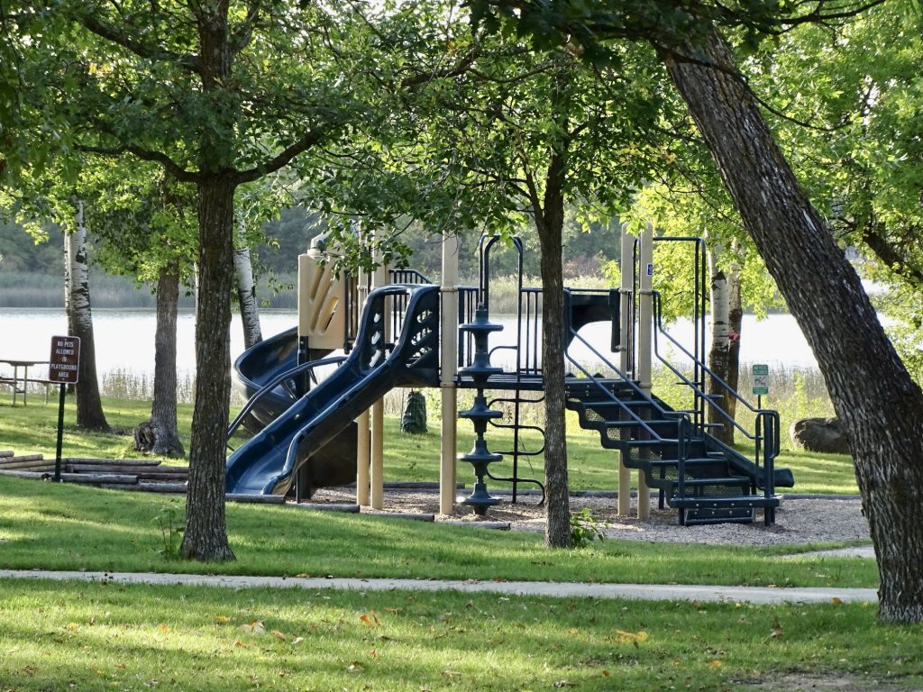
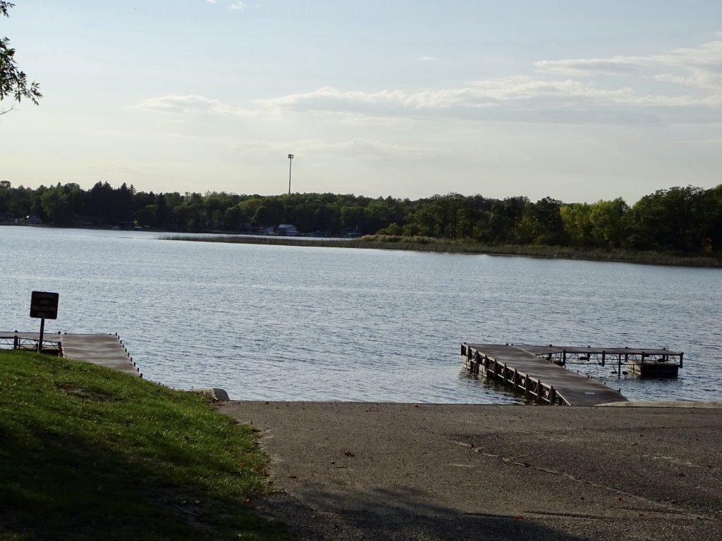
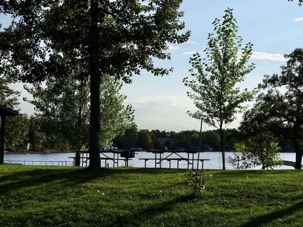
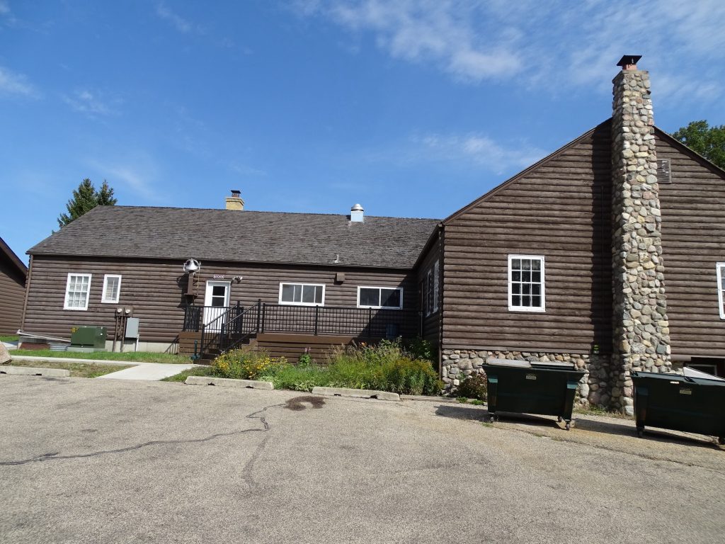
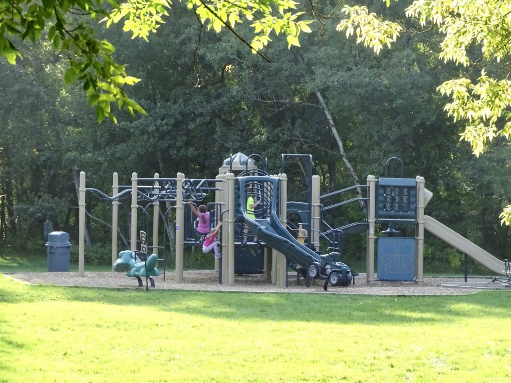
Lake Metigoshe State Park is located on the Turtle Mountain Plateau about 12 miles from Bottineau, North Dakota. The vacation area is very beautiful and with lots of lakes and ponds dotting the landscape, similar to Minnesota. The summer months bring vacationers for swimming, water sports, and relaxation, and winter brings hunters, ice fishermen, and winter sports enthusiasts. Amenities at the park include picnic areas and shelters, canoe, kayak, snowshoe, and cross-country ski rentals, a beach, playgrounds, geocaching, and 14 miles of multi-use trails for hiking, biking, skiing, and snow shoeing, plus winter sledding, and ice fishing. The campground has 85 electric (some 50- and some 30-amp) and water campsites on two loops with picnic tables and fire rings. Spacing is nice with plenty of trees. There are also 39 primitive sites and three group sites available. The bathhouse is very clean, and the property, in general, is very well maintained. There is no over-the-air TV available, but cell signals are strong. For this visit in September 2021, we paid $130.80 for five nights. There is also a $7 per day entrance fee, which was eliminated by purchasing the ND annual pass at the last park.
Another Book Nook Large, Electric & Water Site

Some Electric & Water Sites are Short Wifi Area…Kidding…Amphitheater
Fishing Dock Primitive Sites
Day Use Playground Pavillion
Boat Ramp and Dock Picnic Area
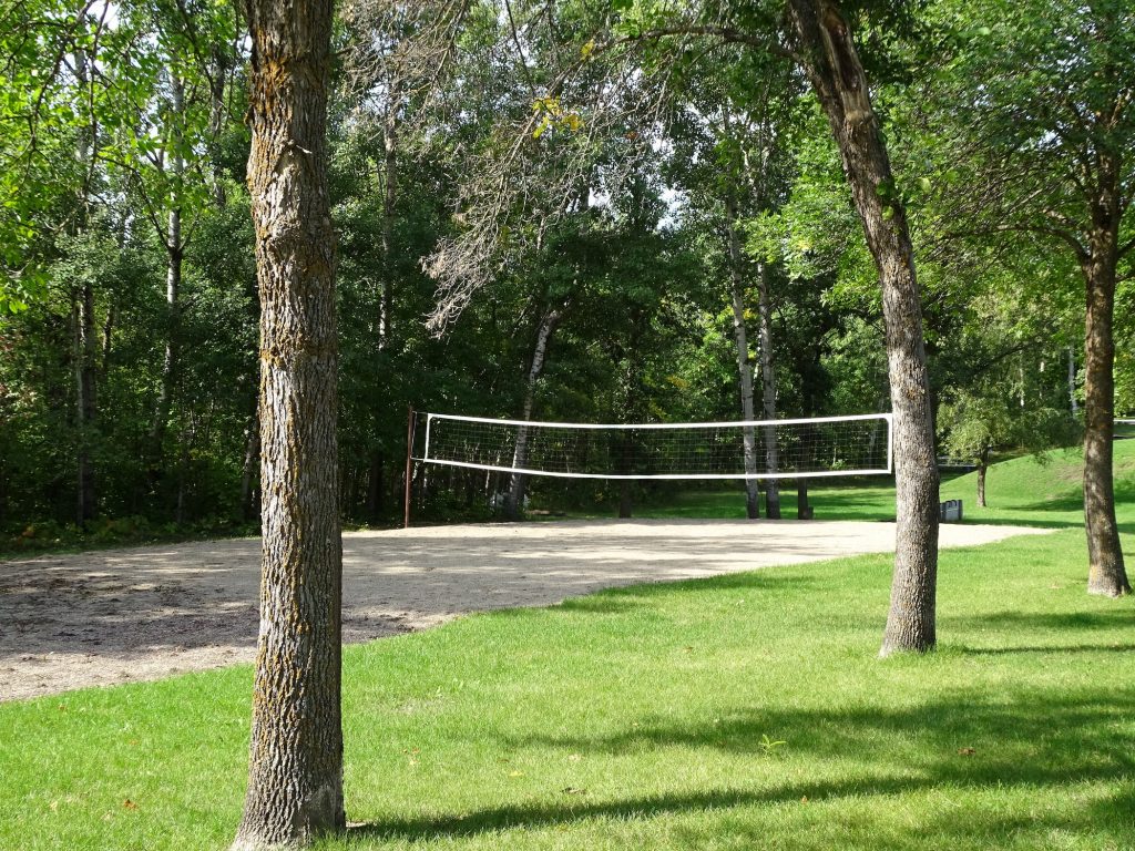
Group Facility Volleyball at Group Camp
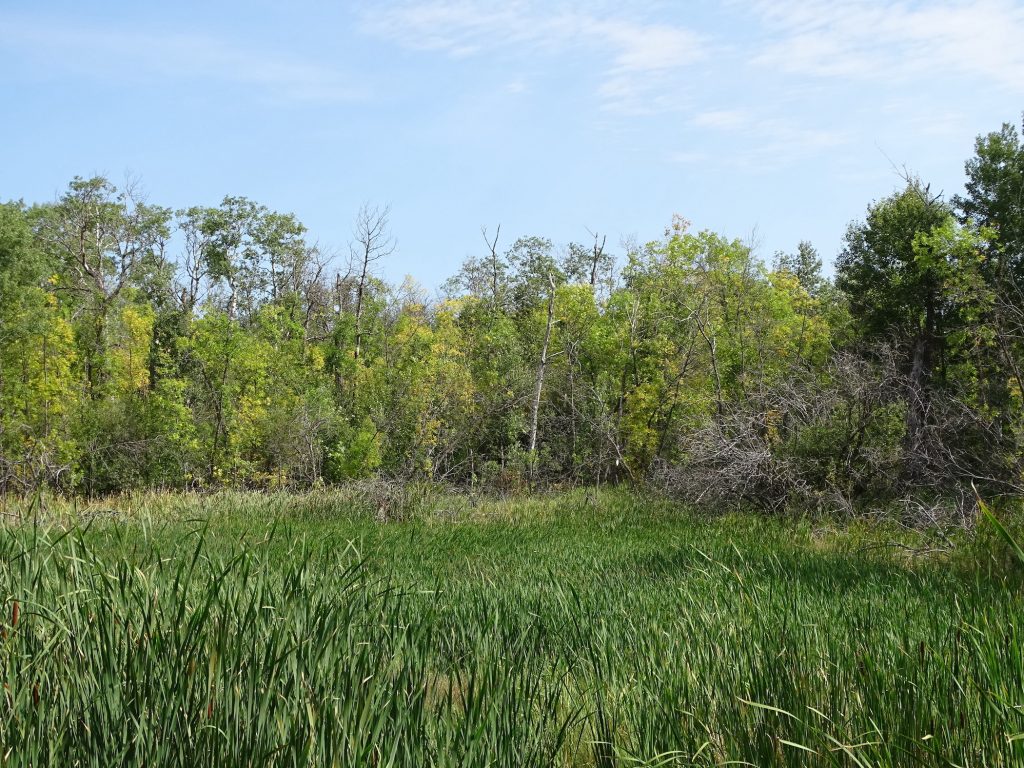
Campground Play Area Definitely a Moose Marsh…I Keep Looking
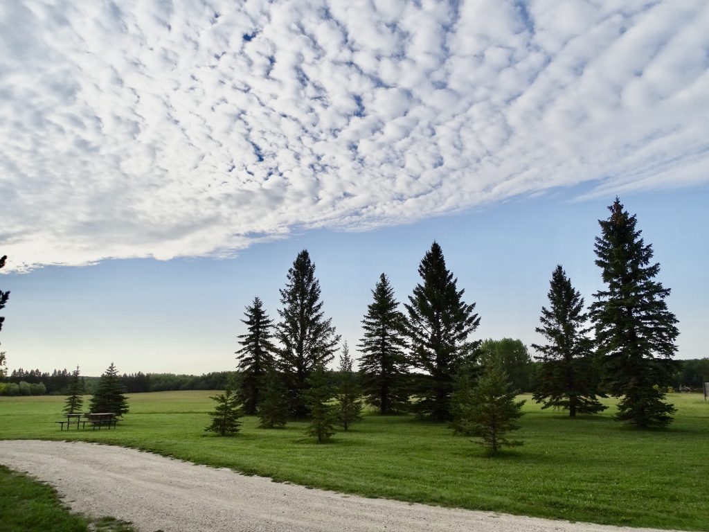
Another week in the books. Next up…more Dakotas and this big, open sky! See you on the path!
Talisa
P.S. Hit the follow button below to be notified of new posts and please SHARE, SHARE, SHARE on social media!