Monday, May 23, we hit the road around 8 AM heading northwest, starting out on CA-18 west to Adelanto. Next we turned north on US-395 to Kramer Junction, where we caught CA-58. We saw a large borax mining operation not far from the Twenty Mule Team Road exit, so now we know where one of my tank cleaner ingredients comes from. (RECIPE: 1/2 cup Borax, cap full of Calgon. Put in empty black and grey tanks, then add 3-4 gallons of water. Hit the road and let the suds do their thing. I only do this once every month or so, and we never have any smell issues. We don’t worry about the tank sensors…they really only worked when we drove Petunia off of the lot, and we know how long we can go. However, I’ve read that if you dump bags of ice in with the cleaning mixture just before leaving, it will clean the sensors.)
SIDE NOTE: The name 20 Mule Team Borax comes from the method of transport used in the 1800s. Technically, it was 18 mules and 2 horses that pulled the loaded wagons out of the Mojave Desert to the nearest railroad spur. Each wagon carried a load of 10 short tons (9 metric tons) of borax ore 165 miles to the town of Mojave. Wow.
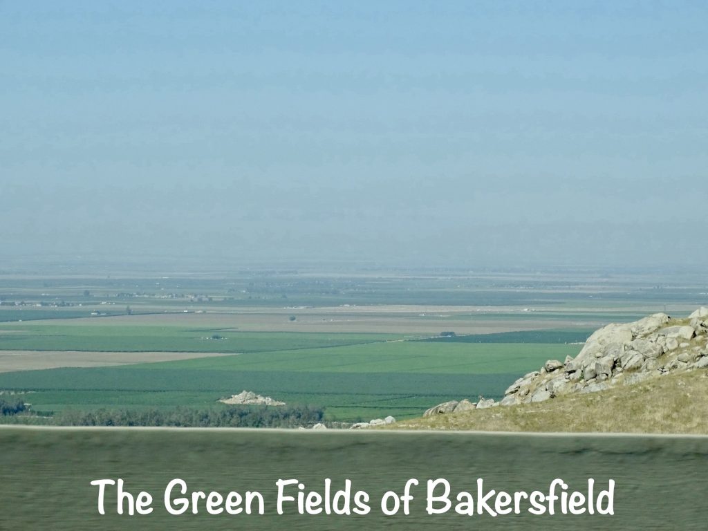
BACK ON TRACK: Just east of Mojave we also passed the Hyundai Proving Ground, then went through Bakersfield. We didn’t see hide nor hair of Buck Owens, although we did find Buck Owens Boulevard.
OFF TRACK AGAIN: Born in Sherman, Texas, Alvis Edgar (Buck) Owens, Jr., fell in love with the San Joaquin Valley the first time he drove through as a truck driver. He moved to Bakersfield in 1951, and would live there for most of his life. In 1996 he opened the Buck Owens Crystal Palace there, which became the premier country music venue on the West Coast and is still open today. He and his Buckaroos performed at the Palace often, and on March 24, 2006, that’s where Buck sang for the last time at 77 years old. He wasn’t feeling well and had decided to head home when he ran into a fan in the parking lot who had come a long way to hear him sing. He went back into the club and did his set. Later that night, he died in his sleep. People remember Buck from Hee Haw, but he was a major country music star before that ever started. He was the pioneer of the Bakersfield sound, which influenced a host of musicians including one of Mr. Wonderful’s (MW’s) favorites Dwight Yoakum, Merle Haggard, and Brad Paisley. My favorite Buck Owens song has always been 1964’s “I’ve Got a Tiger By the Tail”. The lyrics were hilarious, although as a child I pictured an actual tiger. I remember singing it at the top of my lungs. I probably wasn’t the only one, because it was in Billboard’s #1 country spot in February 1965, and was his only song to hit the top-40 on their Hot 100 pop chart, where it peaked at #25.
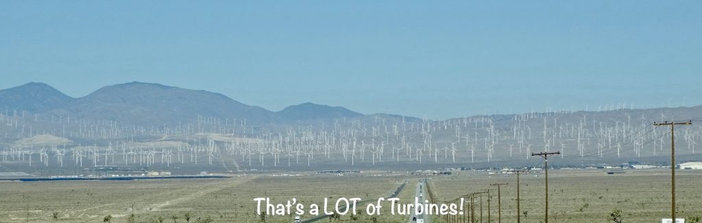
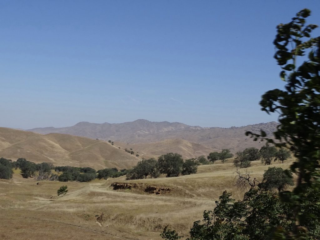
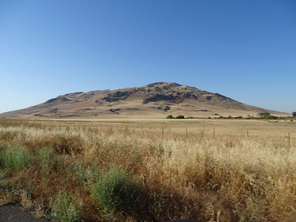
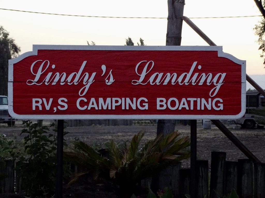
Next it was west over to Rosedale, where we turned north on CA-43. At Wasco, we stopped for a bite at the Escandalo Cafe, a small place that had pretty good Mexican food. Then we finished the final leg up to Selma and across to Reedley, California, and Lindy’s Landing RV Resort and Campground. The day took us from the heat and starkness of the desert through vast, open grasslands and wind farms near Mojave, and on to the beautiful farmland of the Central Valley. It’s amazing how much can change in a couple hundred miles. It had been a long day, though, so after getting set up, we kicked back for the evening.
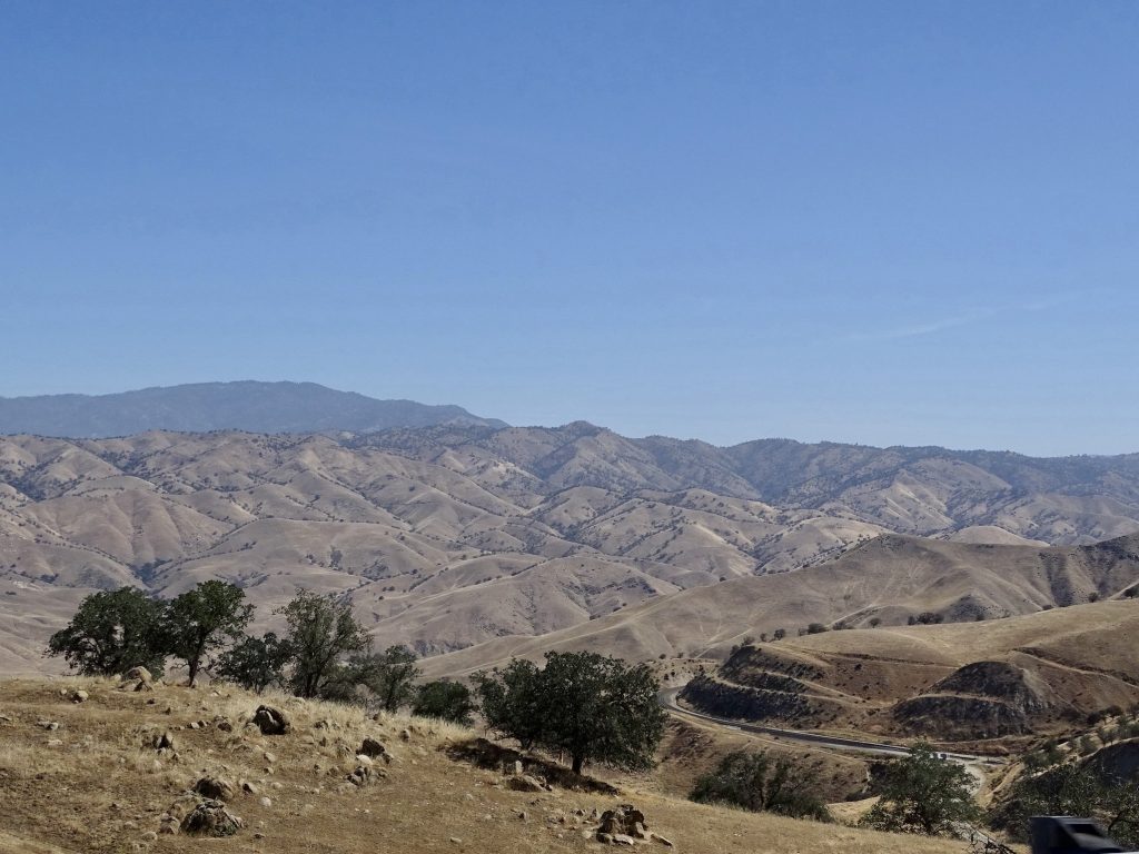
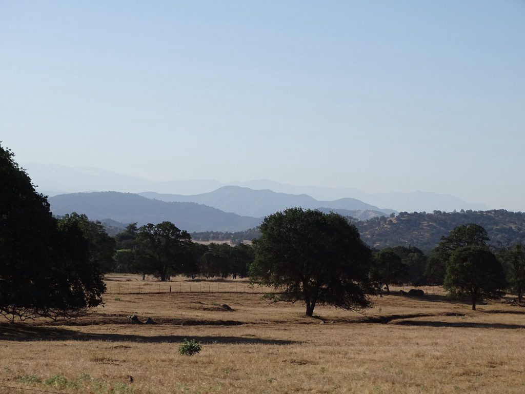
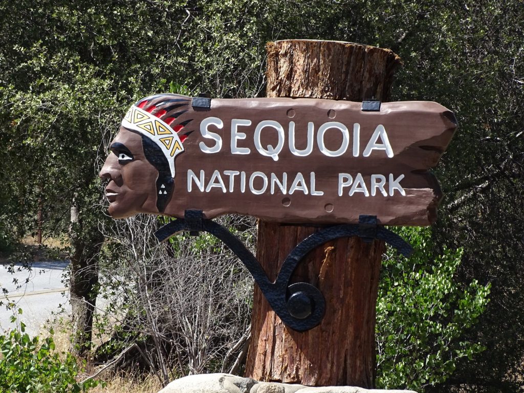
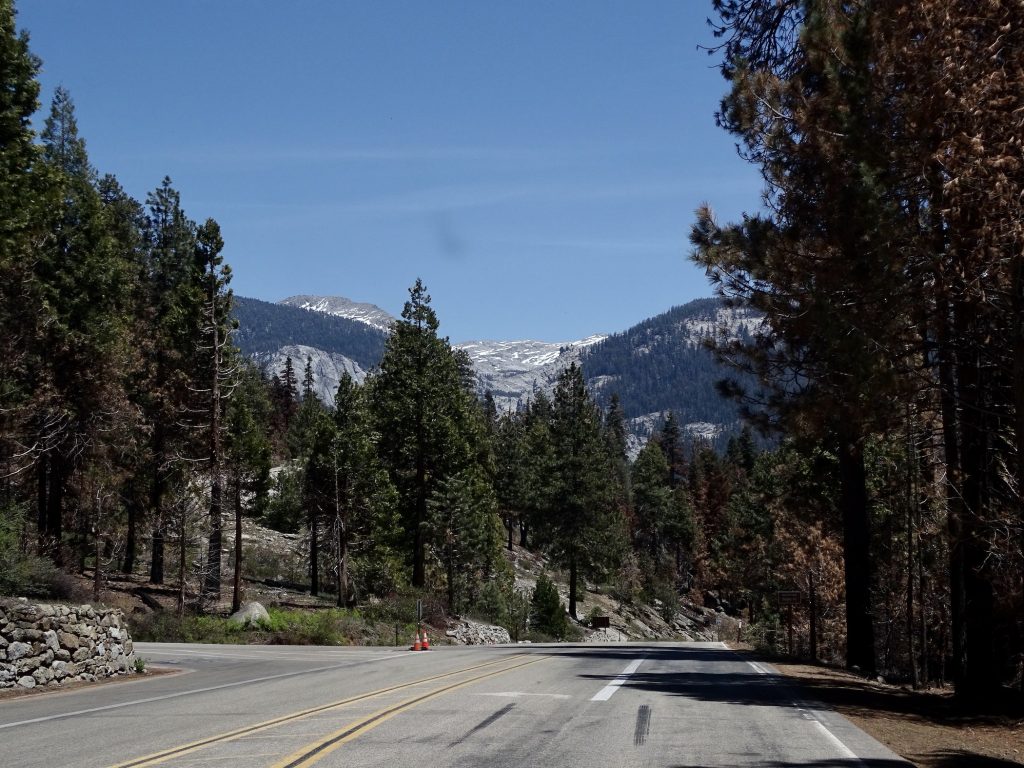
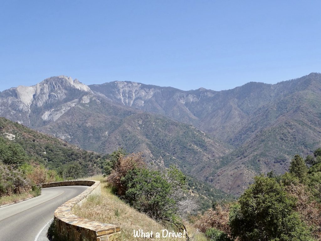
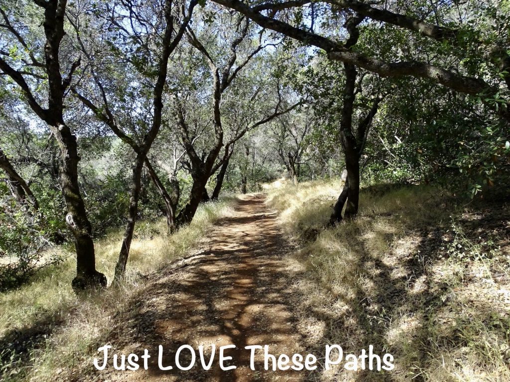
Tuesday I skipped the morning walk, opting for hikes later in the day. We headed out early to get to one of my bucket list places, Sequoia National Park. I’ve wanted to see the giant trees since I was a child and saw a picture of someone driving through one. The drive up into the mountains from the flats of the San Joaquin Valley was beautiful.
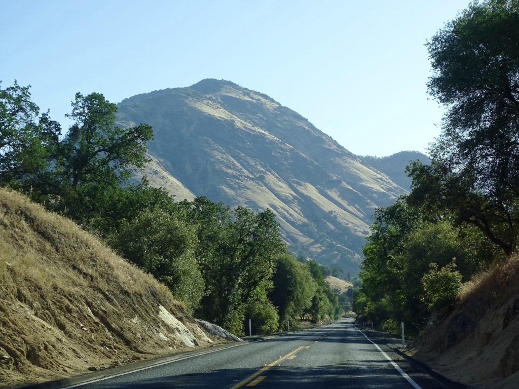
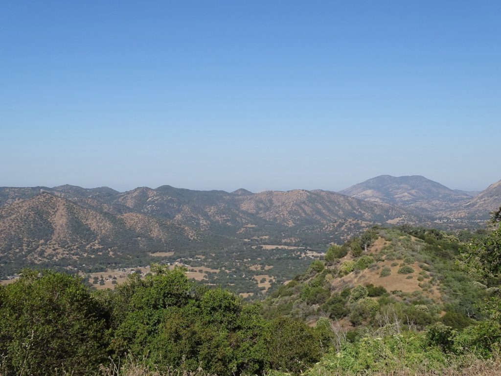
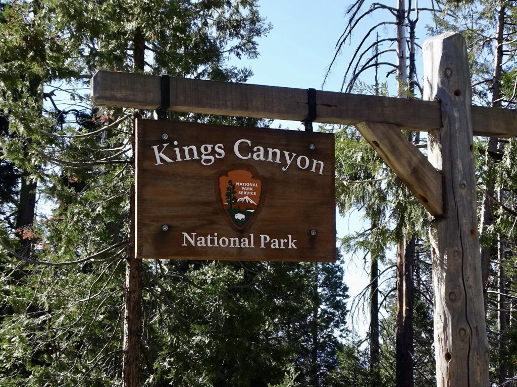
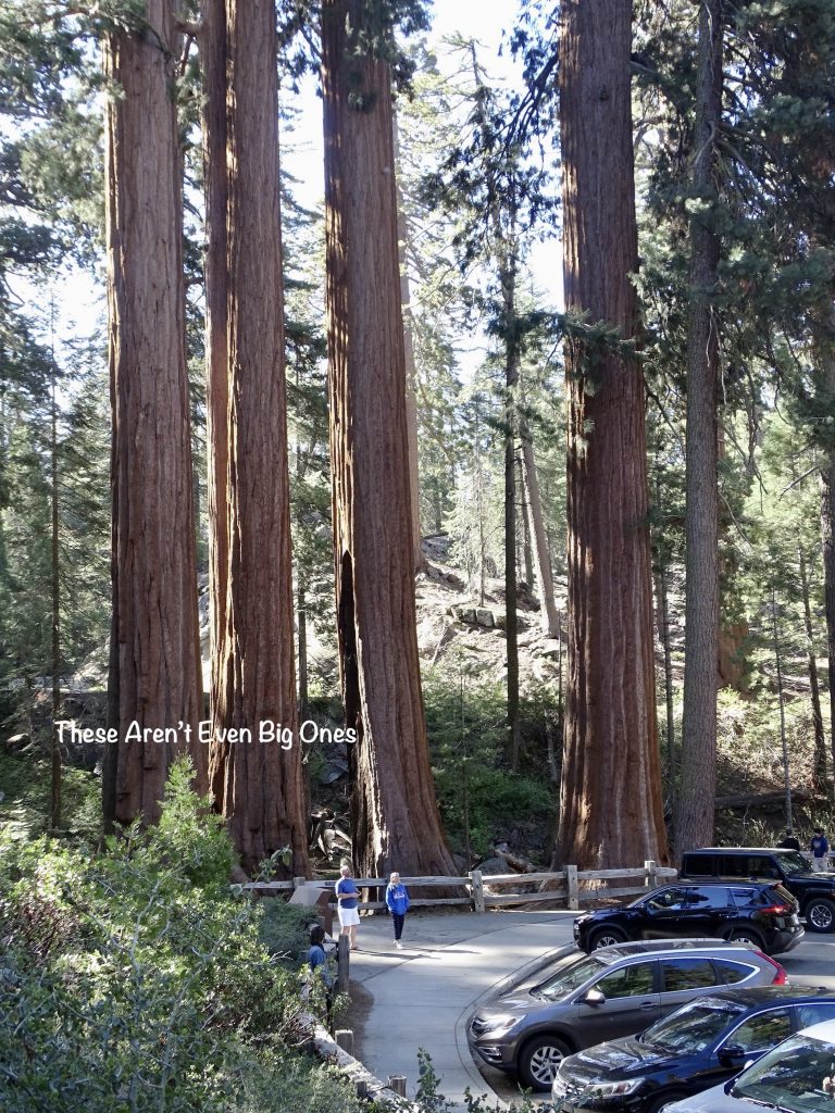
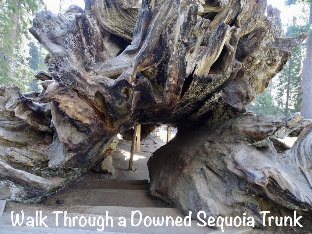
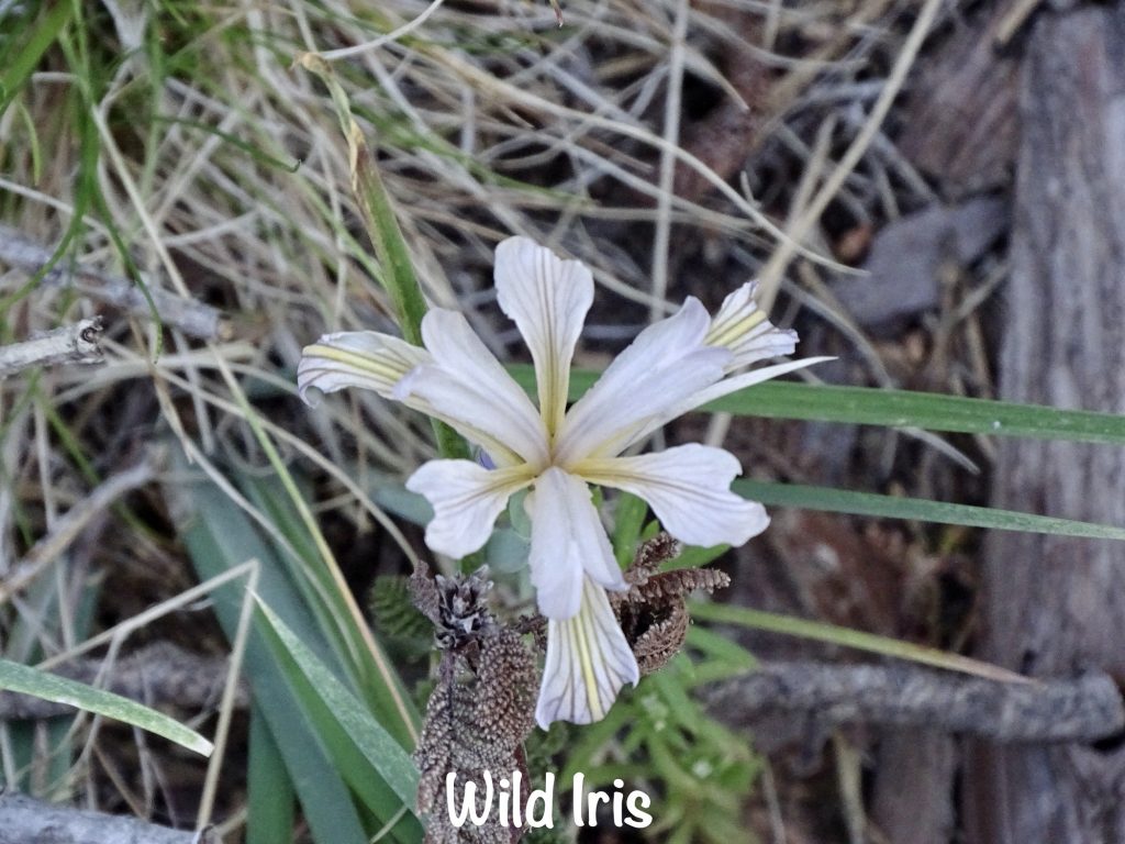
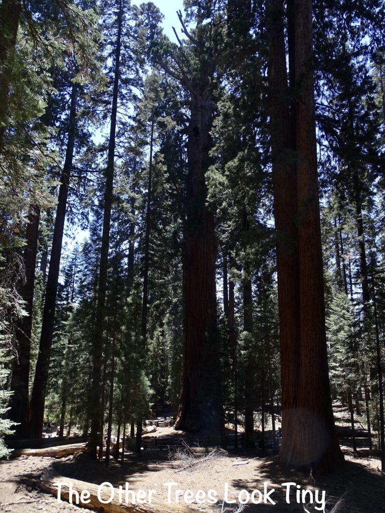
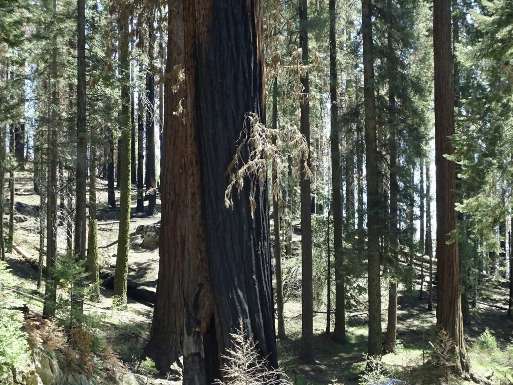
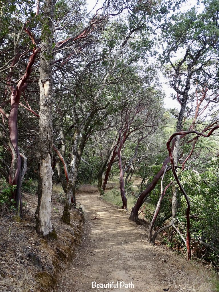
The area is actually two National Parks, Sequoia and Kings Canyon, both within the Sequoia National Forest. We entered at the Kings Canyon Visitor Center, which was not yet open for the day. From the moment you approach the park, the huge trees take your breath away. It is hard to describe the truly gargantuan size. There are multiple groves of giant sequoias throughout the park, mixed in with white fir, sugar pine, incense cedar, ponderosa pine, and Jeffrey pine. If you removed the sequoias, I think all of the other trees would look very large. This park seems to be the perfect environment for growing big stuff. Sequoias are different from other conifers in that their trunk stays thick all the way up, instead of thinning to a point at the top. They also have natural chemicals in the bark and wood that repel most insects and fungi. The largest danger to sequoias is falling. Soil that is too wet, strong winds, and root damage are the largest contributors.
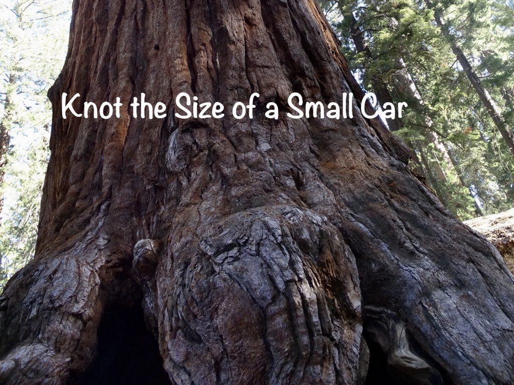
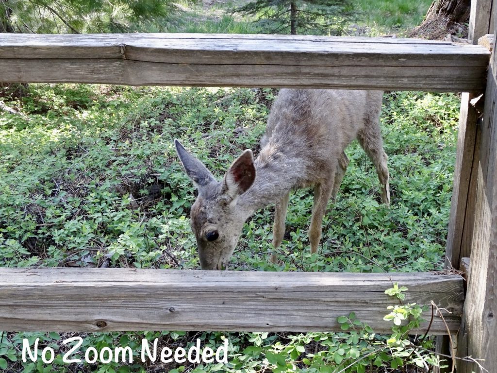
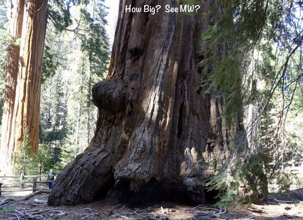
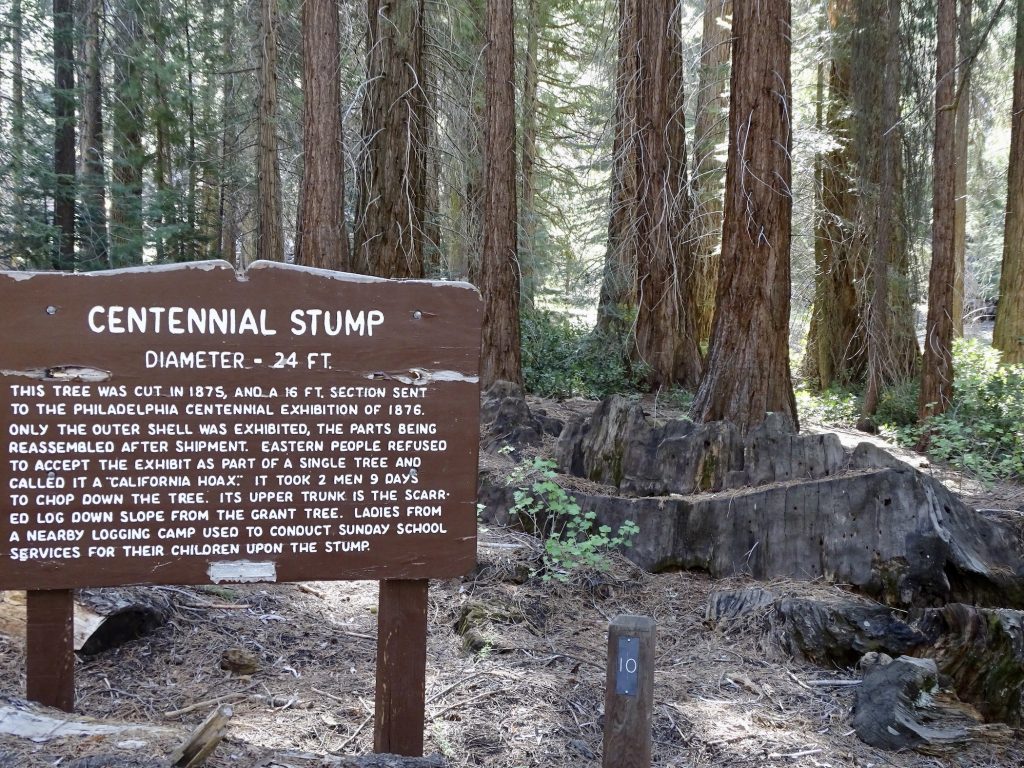
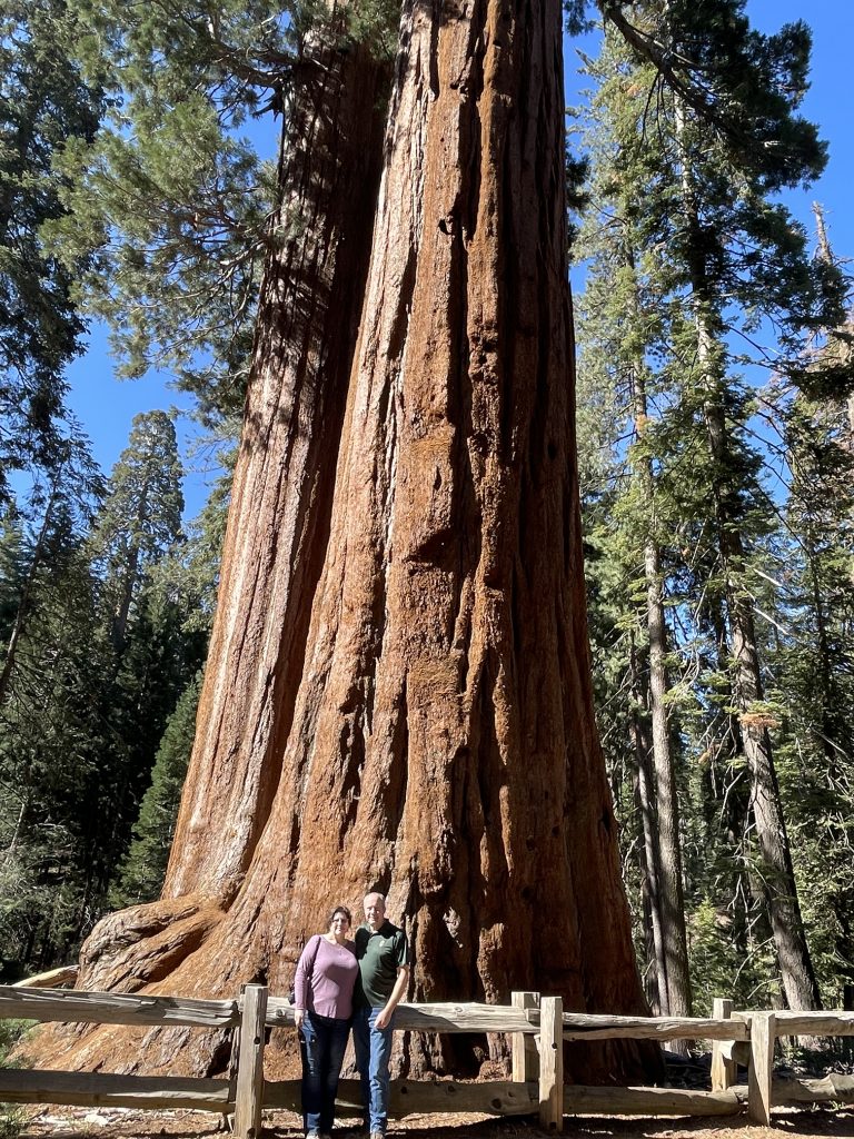
Our first stop was at Grant Grove, where we took the 1/3-mile walking loop. There were quite a few deer milling around that were clearly used to people. They only ran if you made a sudden move. The General Grant Tree is billed as the second largest tree in the world and is more than 267′ tall, has a circumference of more than 107′, has the third largest footprint of any sequoia, holds the record for width at 40′, and is estimated to be between 1,600 and 2,000 years old! Think about that. The seed for this tree could have sprouted while Jesus was walking the earth!! Wow! I promised Mom I’d get our picture taken in front of one of the big trees, but they’ve got them fenced off at a distance, probably because people feel the need to carve their initials in them. (A few idiots change the rules for everyone else.) We did get a close pic of one of the smaller trees below, though.
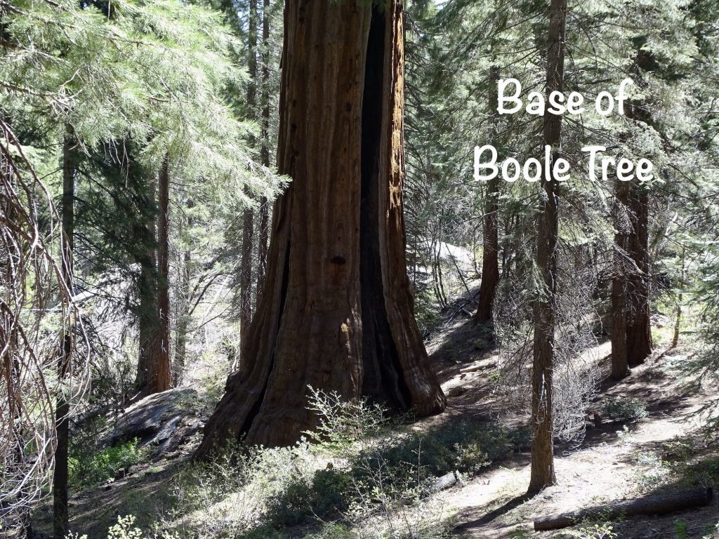
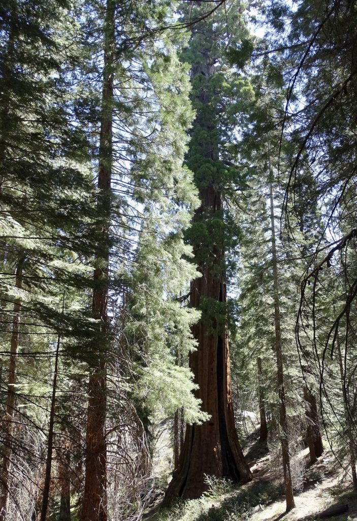
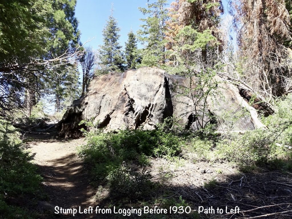
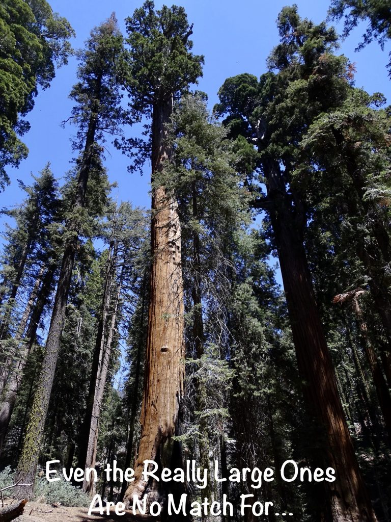
Next we headed north to check out the Boole Tree. The road is only open in summer and is marked as “narrow, winding, and steep”, but you really do need a 4-wheel drive to make it the 2-1/2 miles to the parking lot. Once there, actually seeing the tree will take a 2-mile hike through the forest, mostly uphill on the way in. I’d like to say I did it all, but I only made it about 2/3 of the way…hiking uphill at 5,000′ is rough! Don’t know what it would have been like if I hadn’t started the walking program. My legs were fine, but my lungs were screaming. I found a nice spot in the woods to wait while MW went on to the top.
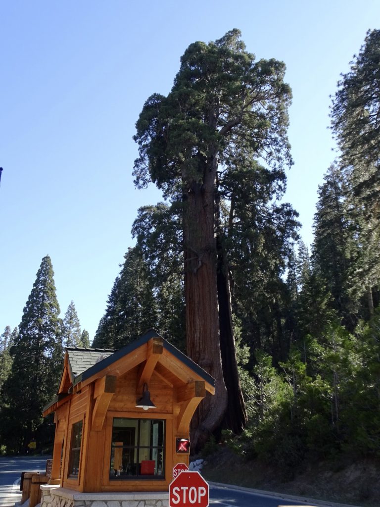
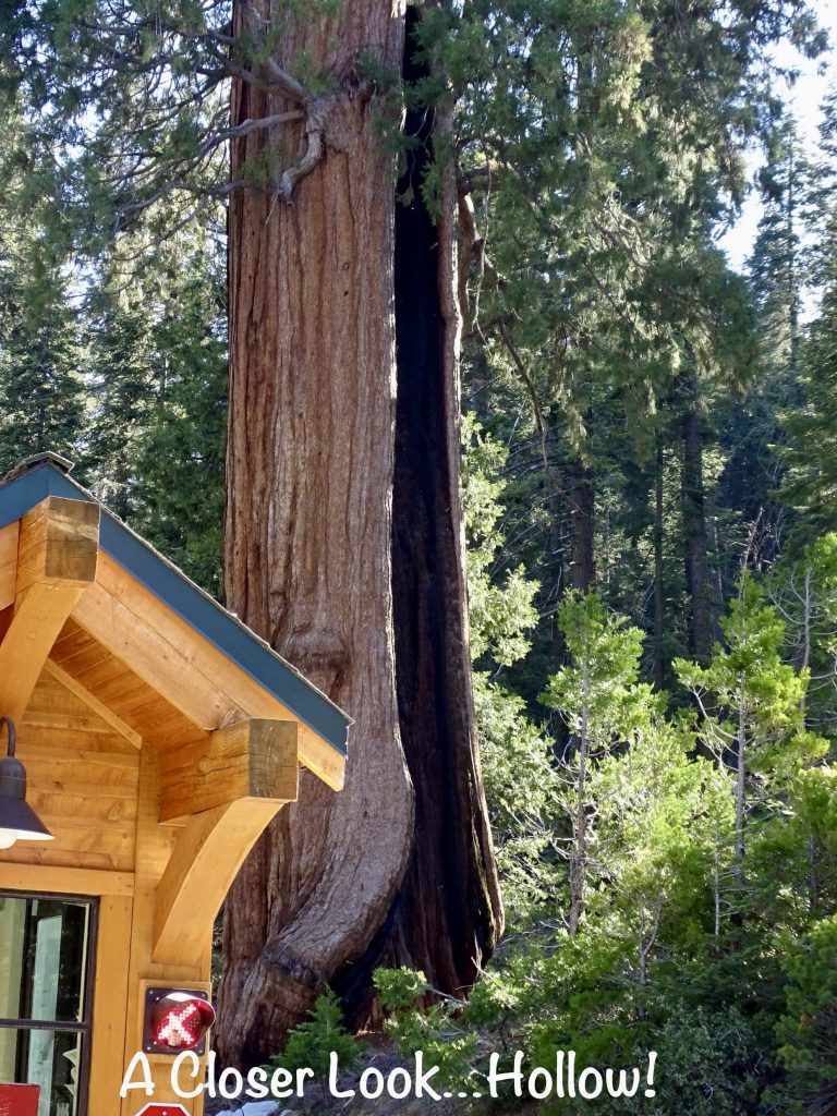
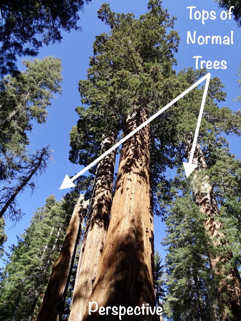
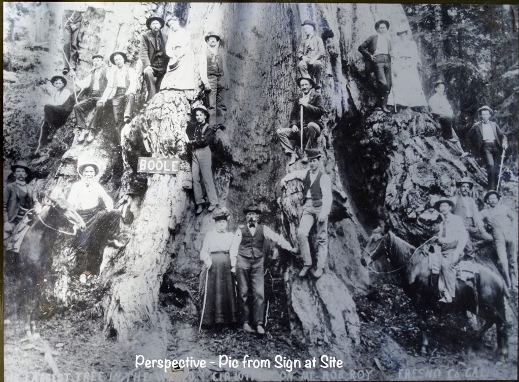
Per MW, the Boole Tree is stunning because it is the only large sequoia in the area. In 1895, when the Converse Basin Grove was being logged, this tree was left standing by the supervisor, Frank Boole, because of its giant size. Surrounded by all of the younger trees, you can see just how big it is. Although not the largest tree in the world as was once believed, it does have the largest footprint of any living sequoia at 113 feet and is 268.8′ tall. It is the largest tree by volume in any of the National Forests. It’s very hard to see its size in the pics. Look at the surrounding trees, though. Although it looks like the Boole Tree is standing in a grove of saplings, the larger neighbors are more than 120 years old.
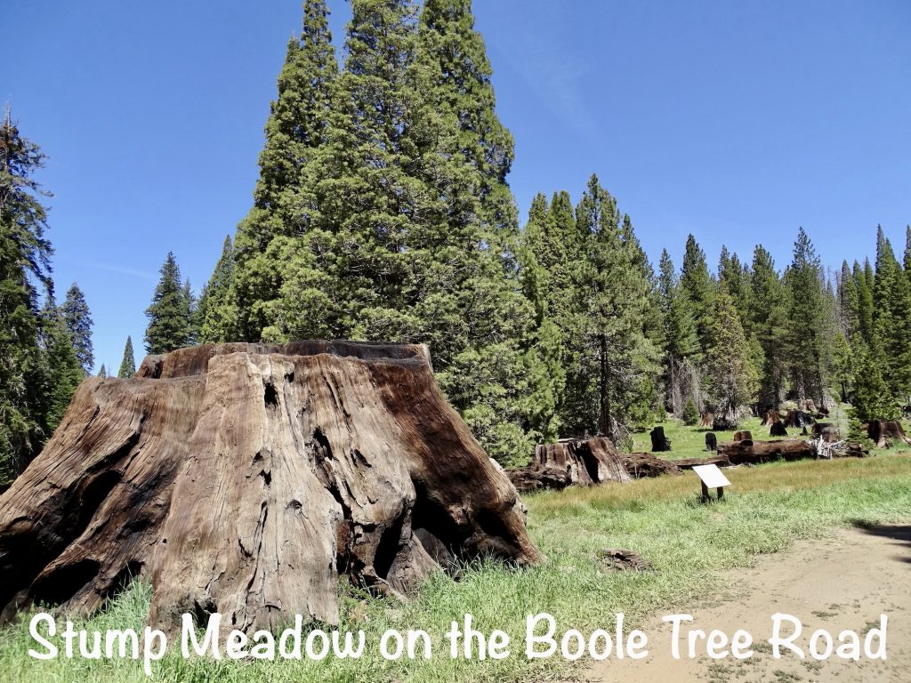
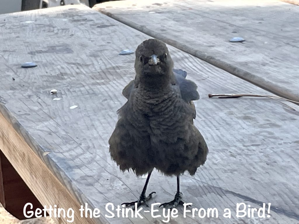
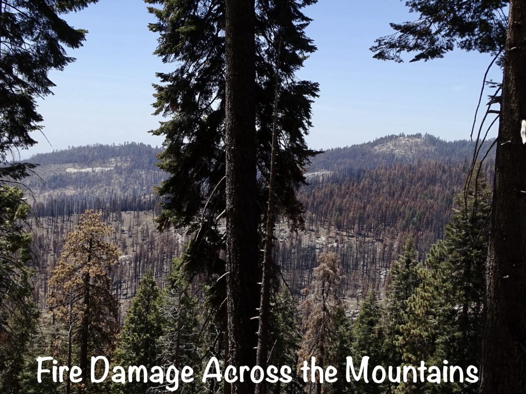
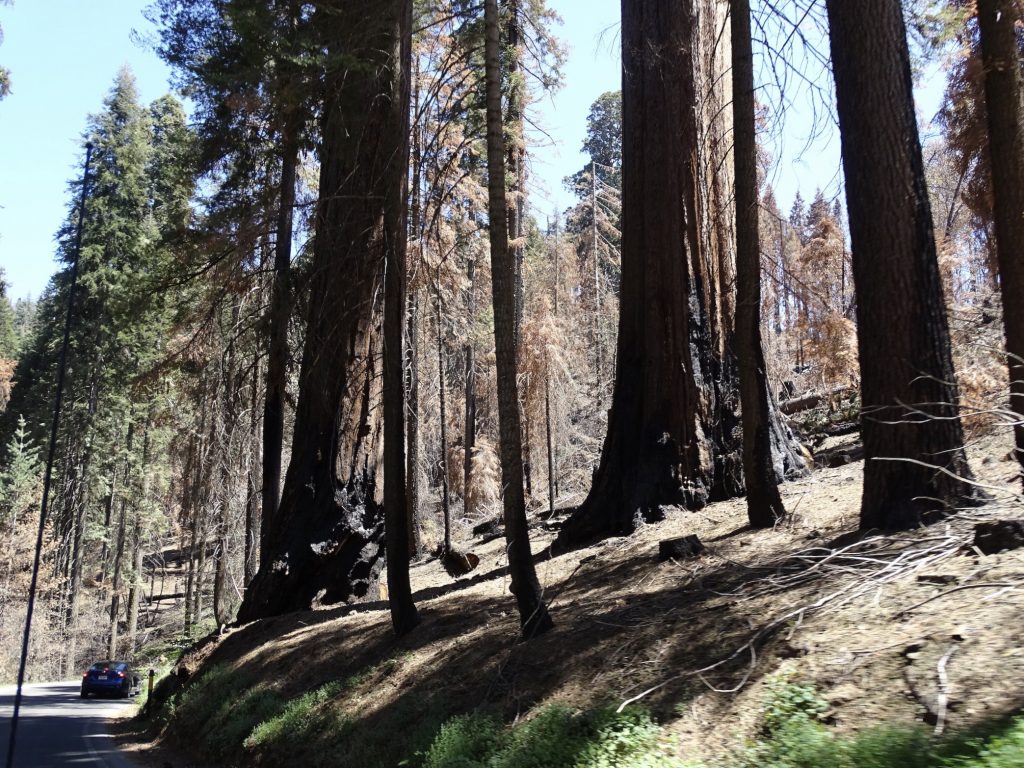
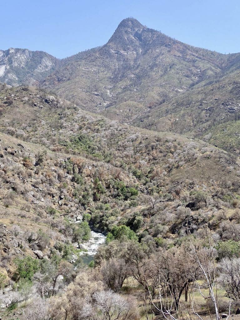
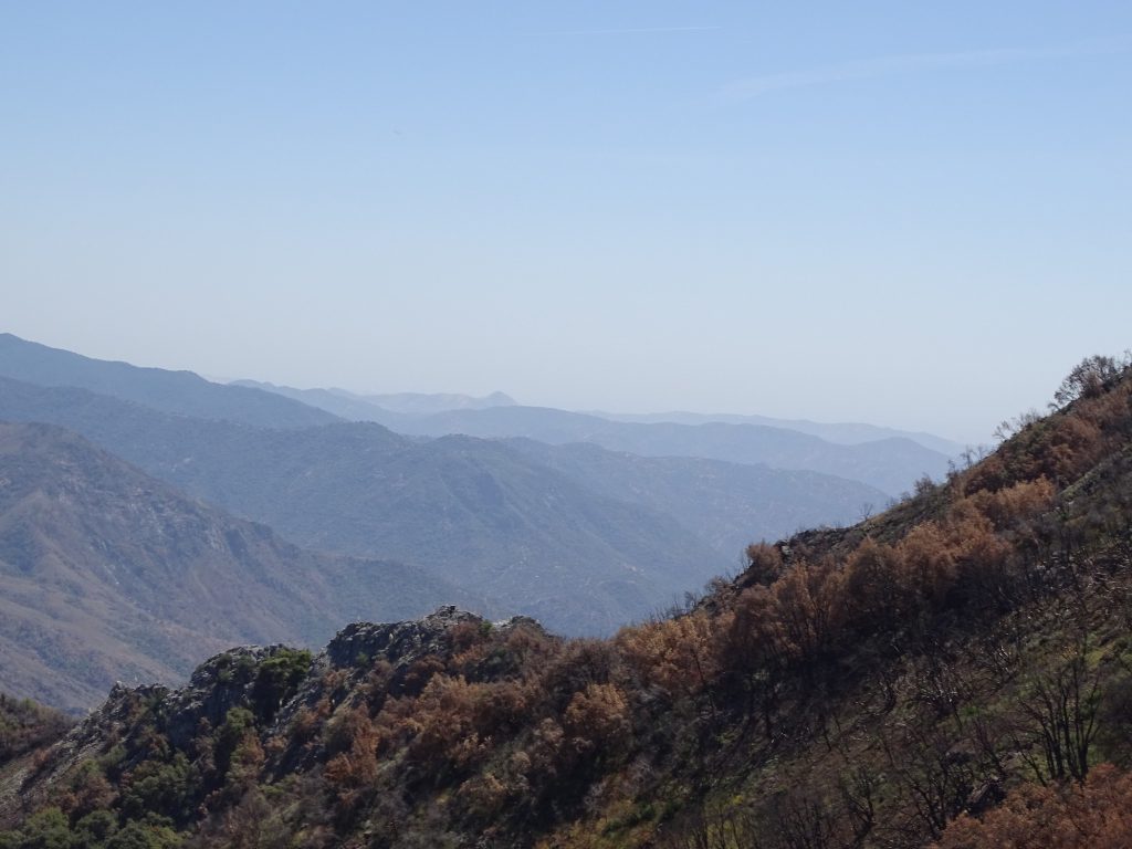
After the slow drive out on the Boole Tree road, we continued north for a bit, then took the road to Hume Lake. The lake is used by a nondenominational Christian camp that is private property surrounded by National Forest land. They have a small store, gas station, picnic areas, and quite a few camp buildings. Luckily, MW thought we should bring lunch, because the store was closed for their meal break. We sat at a picnic table in a grove of pines. While we were eating, a rather bold little bird, maybe a young crow, showed up to get his share. He landed on the table and started tugging at wrappers a foot or so away from us while we were still eating. He wasn’t happy that we didn’t leave him anything, either. After relaxing a bit, we headed south and crossed into Sequoia National Park. The road took us through areas burned by wildfires in 2020 and 2021, including the Colony and Paradise fires. It is estimated that those fires killed about 13 to 19 percent of the larger giant sequoias in the entire Sierra Nevada range.
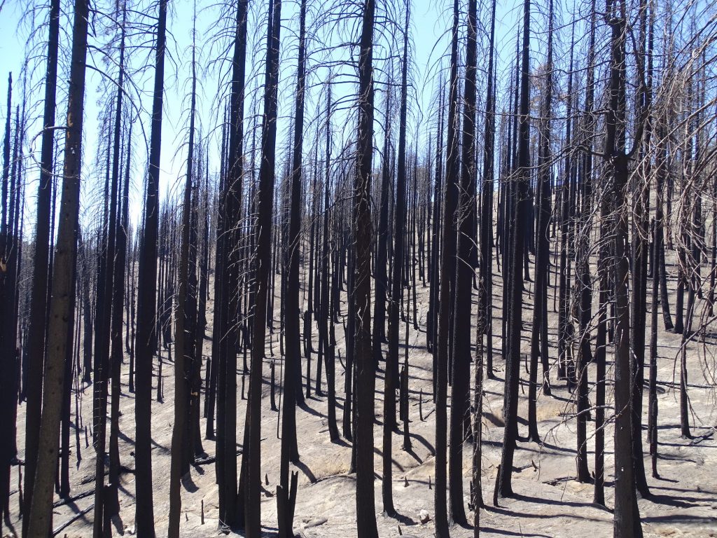
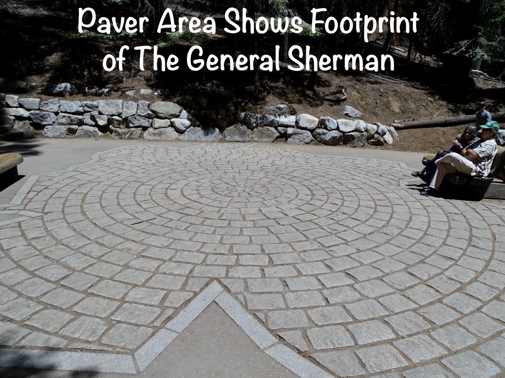
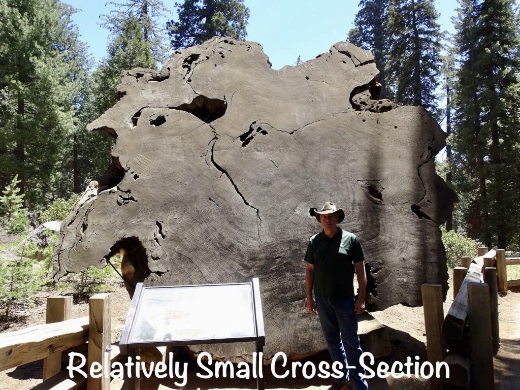
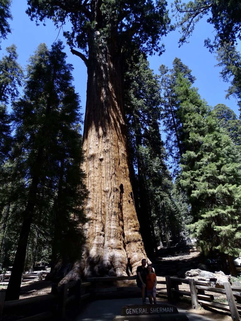
After a left turn on General Highway, we continued south to the Giant Forest, named so by John Muir in 1873. The stroll down to the mac daddy, the General Sherman Tree, is 1/2 mile downhill on a wide, paved walk. Located in a large grove of giants, this tree still manages to stand out. Although there are trees that are bigger around and trees that are taller, this one is the largest tree by volume in the world…52.500 cubic feet and growing. At around 2,200 years old, it weighs 1,385 tons, is 275′ tall, and has a circumference of 103′. Due to what is considered the “perfect” growing conditions of the Giant Forest, the General Sherman is about 1,000 years younger than the oldest known sequoia. They showed a cross-section of a 100-year-old growing in a poor location, and it’s trunk was about the size of a DIME! Wow! There was also a cross-section of a 2,210-year-old sequoia cut because it was in danger of falling on cabins. In its rings, you can see evidence of 80 different fires that burned hot enough to leave a scar. Sequoias are built to survive, and after a wildfire, are often the only things left standing alive. They also grow faster for several years following a fire, probably due to less competition for resources. The 1/2-mile back to the truck was very steep with a lot of stairs, making it not nearly as enjoyable, especially at 6,400′ and after already hiking on the Boole Trail. (I really do prefer a hike where we go uphill first.)
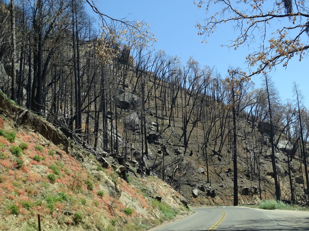
We continued south on the very winding descent. This section of the park has a lot more burned area, but the drive is still very beautiful. We stopped briefly at the Foothills Visitor Center, then headed back to Petunia. It had been a wonderful day, and we were both pretty exhausted.
We were just putting our feet up when I received a message from our friends John and Linda Lee. We were planning to get together the next day, but John had an unexpected commitment arise, so I jumped in the shower and we headed out to meet them for dinner at Di Cicco’s Italian Restaurant in Kingsburg. Their son plays professional baseball, and we met several years back when he pitched for our beloved Greensboro Grasshoppers and roomed with our nephew, Alex. We told all of “our boys” that their relatives were welcome to stay with us when they came to town. The Lees ended up coming for 10 days, and Linda and I have been in touch ever since. We ended up spending 2-1/2 hours visiting, and it was great catching up. Oh, and the food was fantastic. In addition to our waitress, the manager (and possibly owner) kept coming by to make sure we were all good. He was very personable, but I can’t, for the life of me, remember his name. MW had Theresa’s Pasta, a tortellini dish, and I had Alberto’s Pasta, a shrimp penne dish with spinach added. Di Cicco’s is definitely a must when in the area.
Wednesday it was time to take care of the laundry. First I popped in at the campground office to get recommendations. After a good chat, the nice young ladies pointed me in the direction of Selma and the Wishy Washy Laundromat. The place was large, really clean, and almost empty, but only had two chairs. The owner came in while I was still there, said people steal them. Wow. Time for some bolt-down furniture, I think. After finishing up, I headed to Kohl’s in Fresno to pick up an order, then stopped in at Panda Express for lunch and to get some work done. Back at Petunia, the rest of the evening was spent taking care of some writing and relaxing.
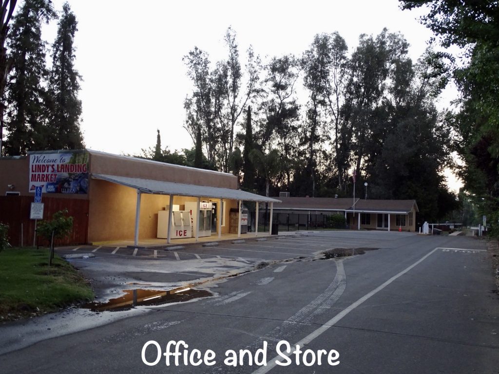
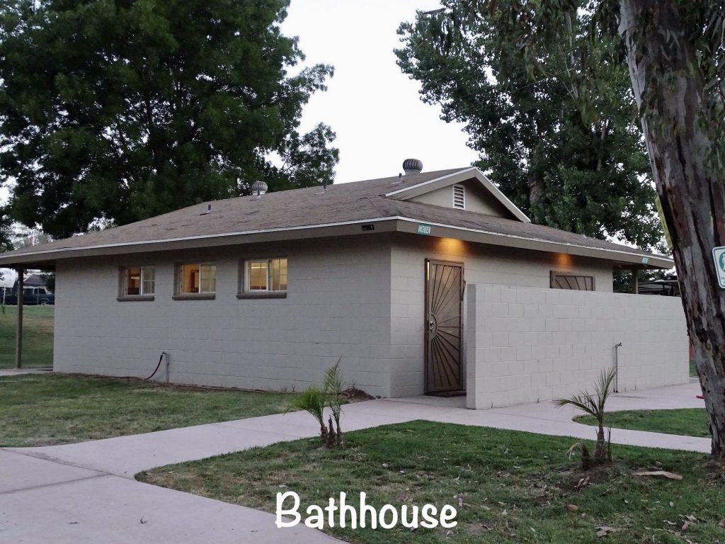
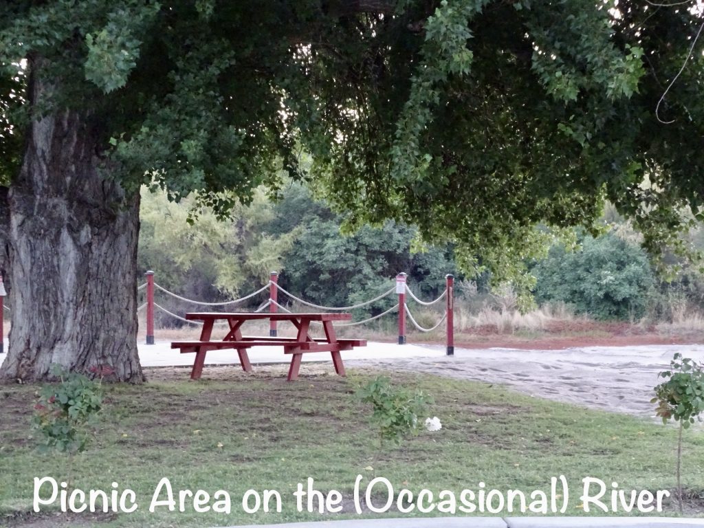
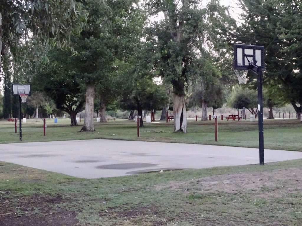
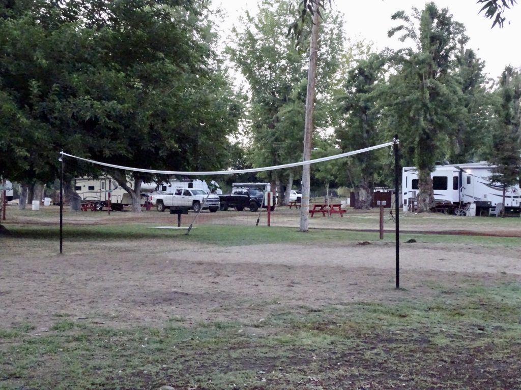
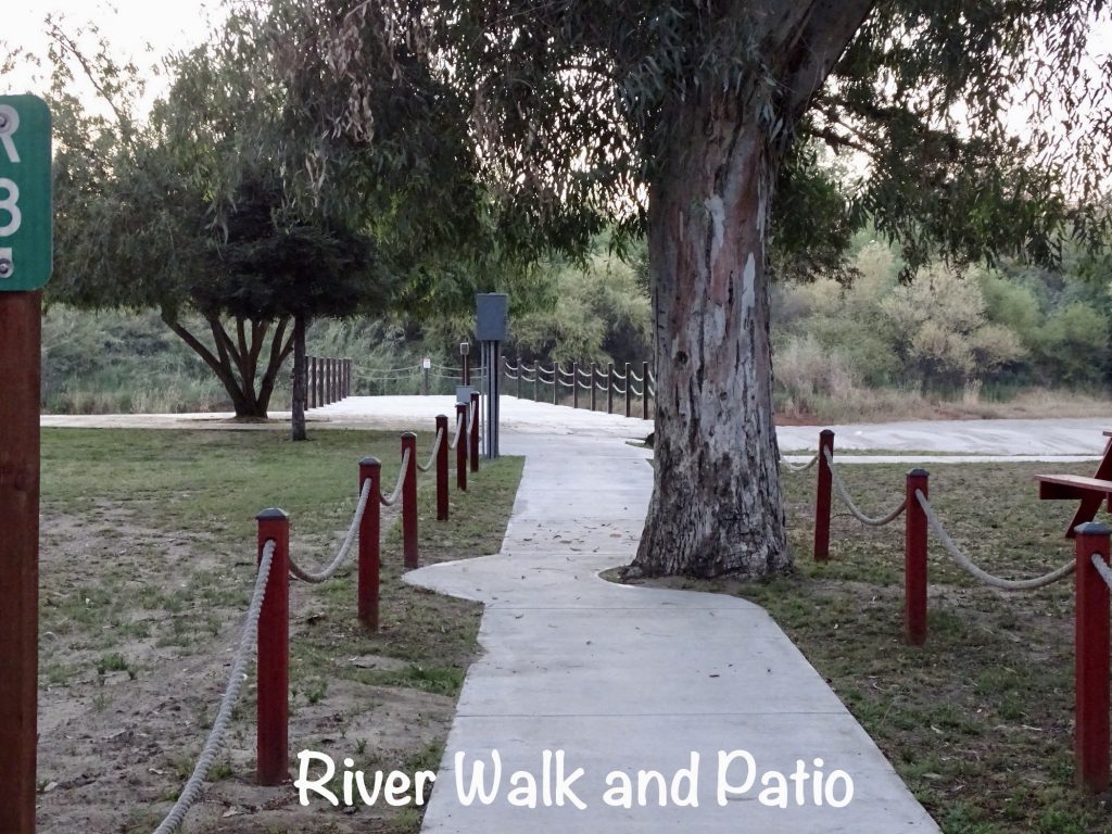
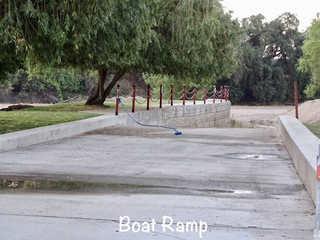
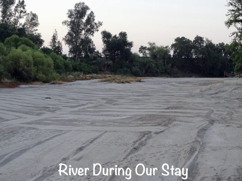
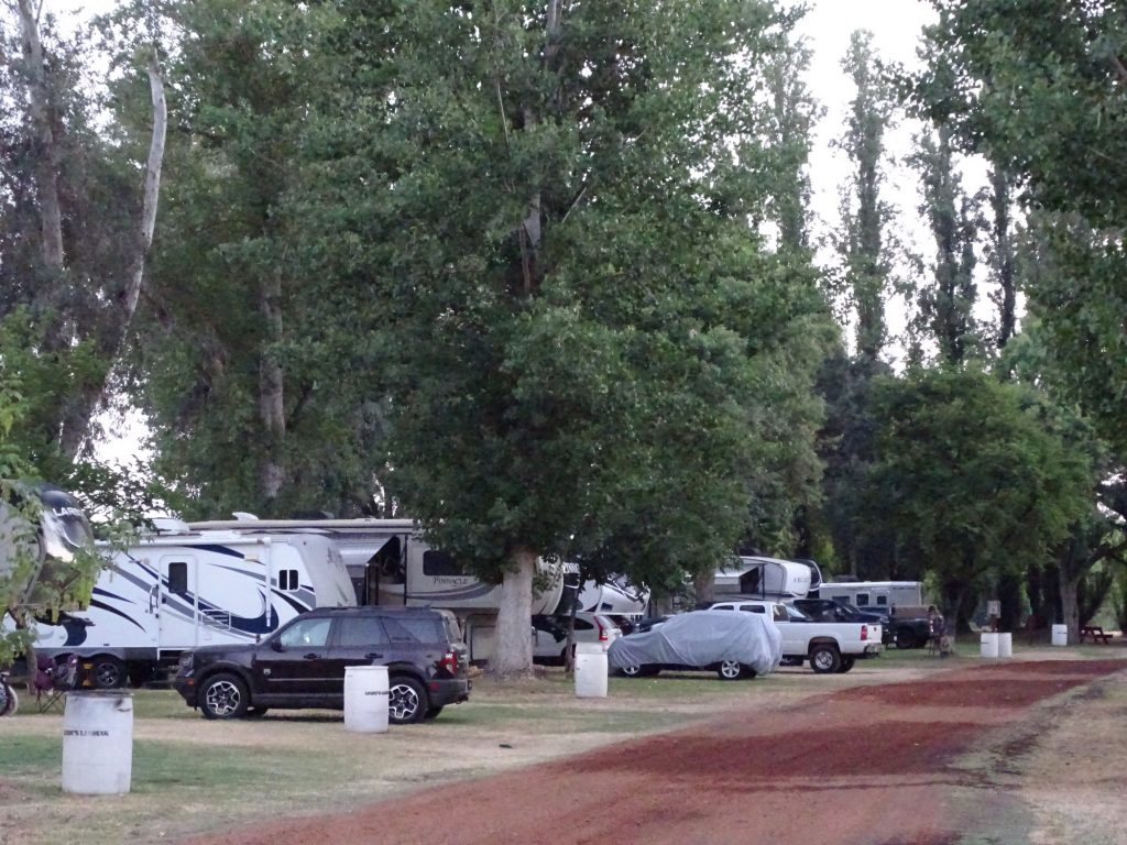
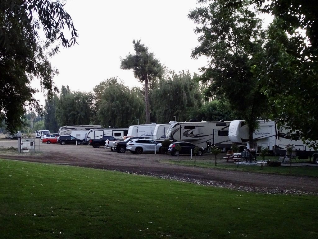
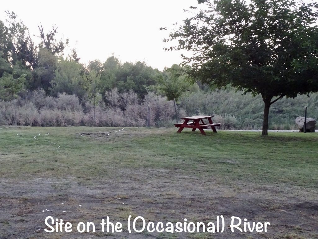
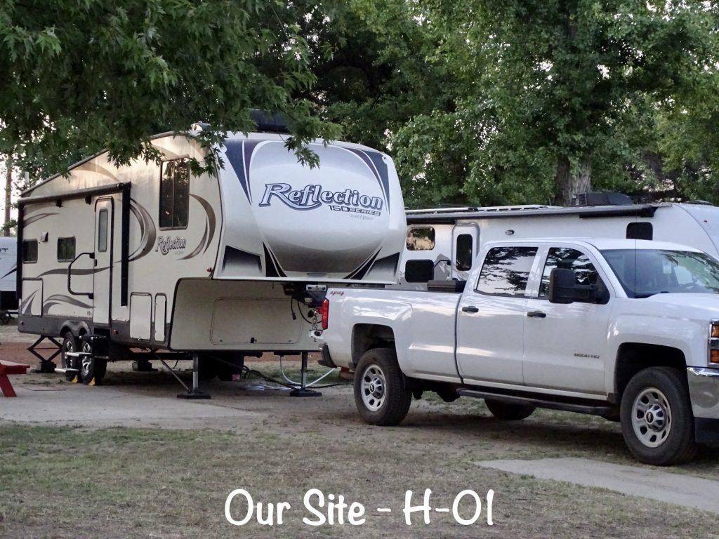
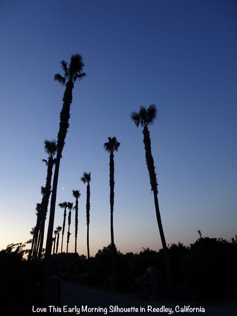
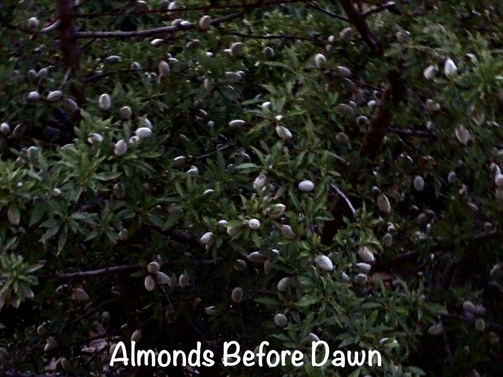
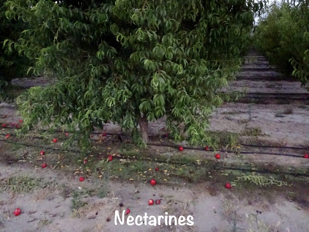
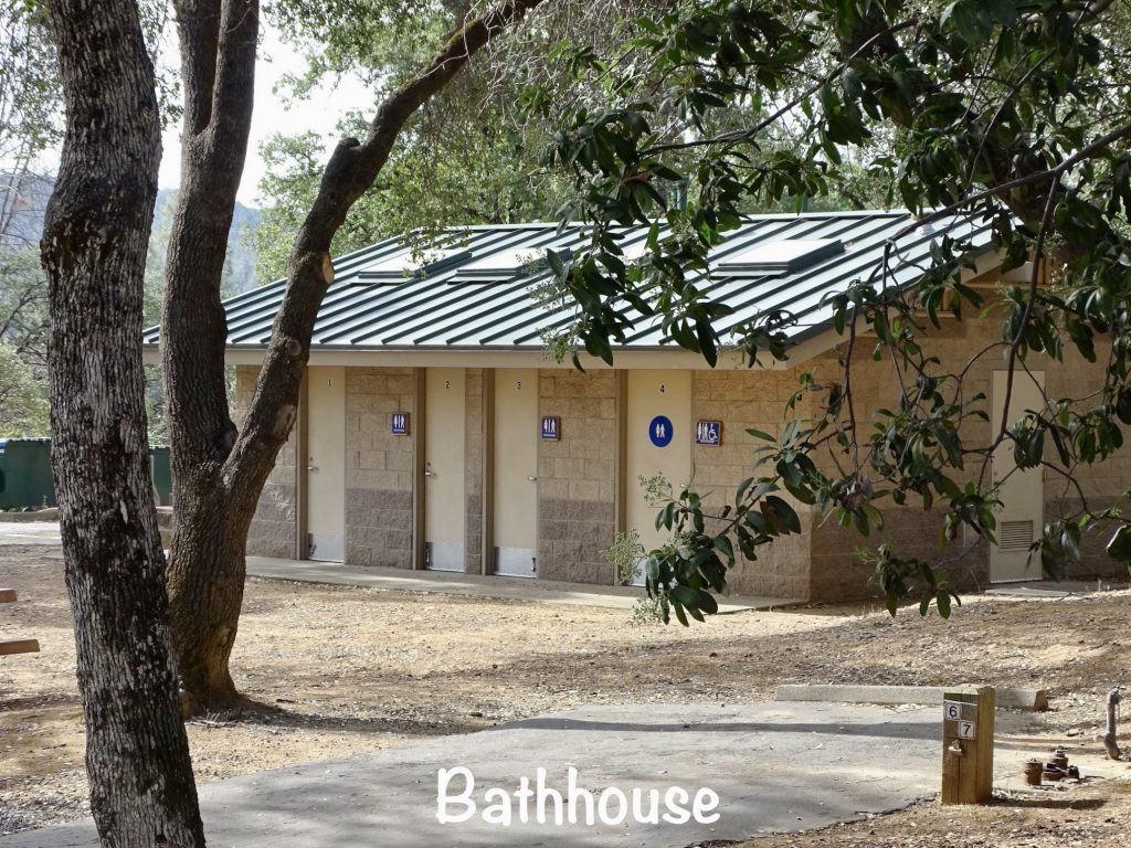
Lindy’s Landing RV Resort and Campground is located in the Reedley/Dinuba area of the San Joaquin valley. A private campground nestled among groves of almonds and nectarines, it is nicely landscaped and has plenty of trees for shade. Bonus…they are on the Kings River…SOMETIMES. I know, that sounds crazy, but water is only released into the river occasionally. When it is, you can fish, boat, and jet ski. When it isn’t, you can walk in the sand. Amenities include a store, laundry, boat launch, basketball and volleyball courts, horse shoe pits, sand beach, and two bathhouses. They offer day use for picnics and family gatherings, too. The campground includes 94 RV sites that can handle up to 45′ rigs. Many are pull-throughs, and about half are full-hookup with 50-amp electric. There is a permanent resident section in the park, too. The cell signal was strong for both Verizon and AT&T, and there were over a hundred antenna TV stations. The park is not far off of a main road, but it was still relatively quiet. While it is a nice park, we felt the price was really high for a place without a pool or river access full-time. For this stay in May 2022, we paid $270.00 for 3 nights.

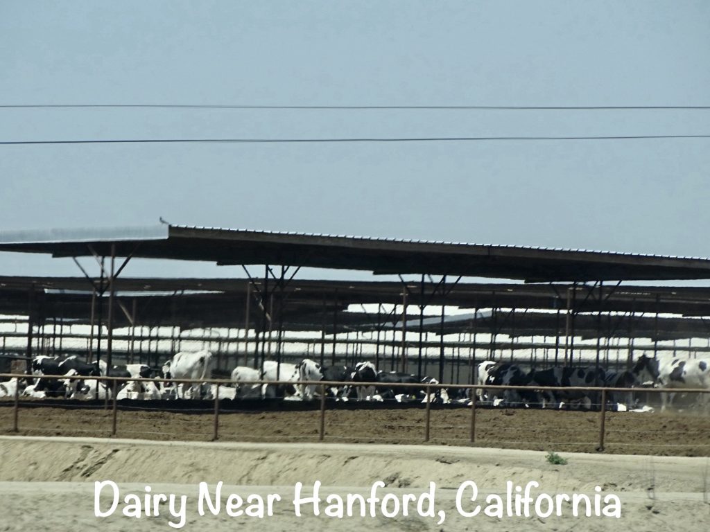
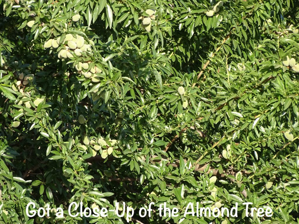
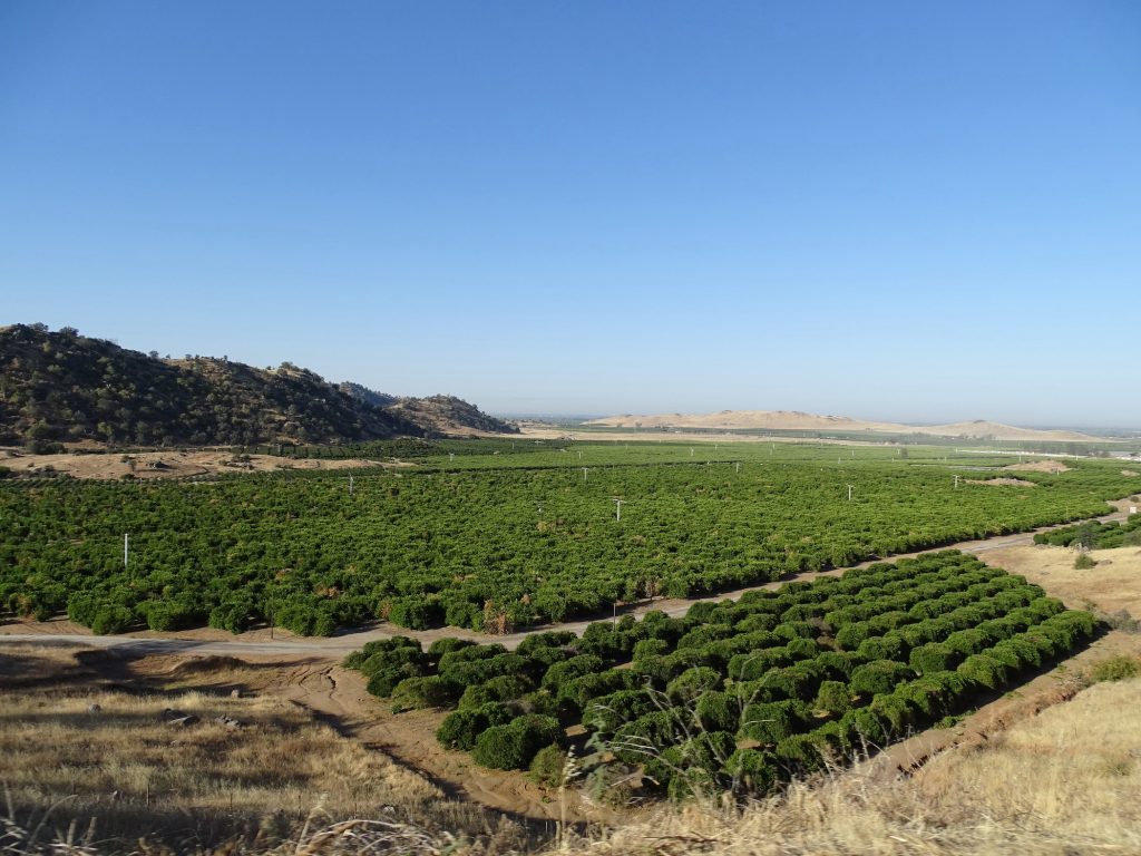
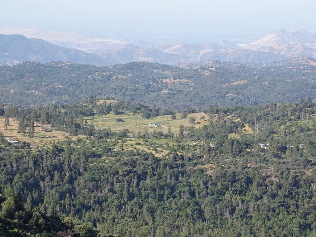
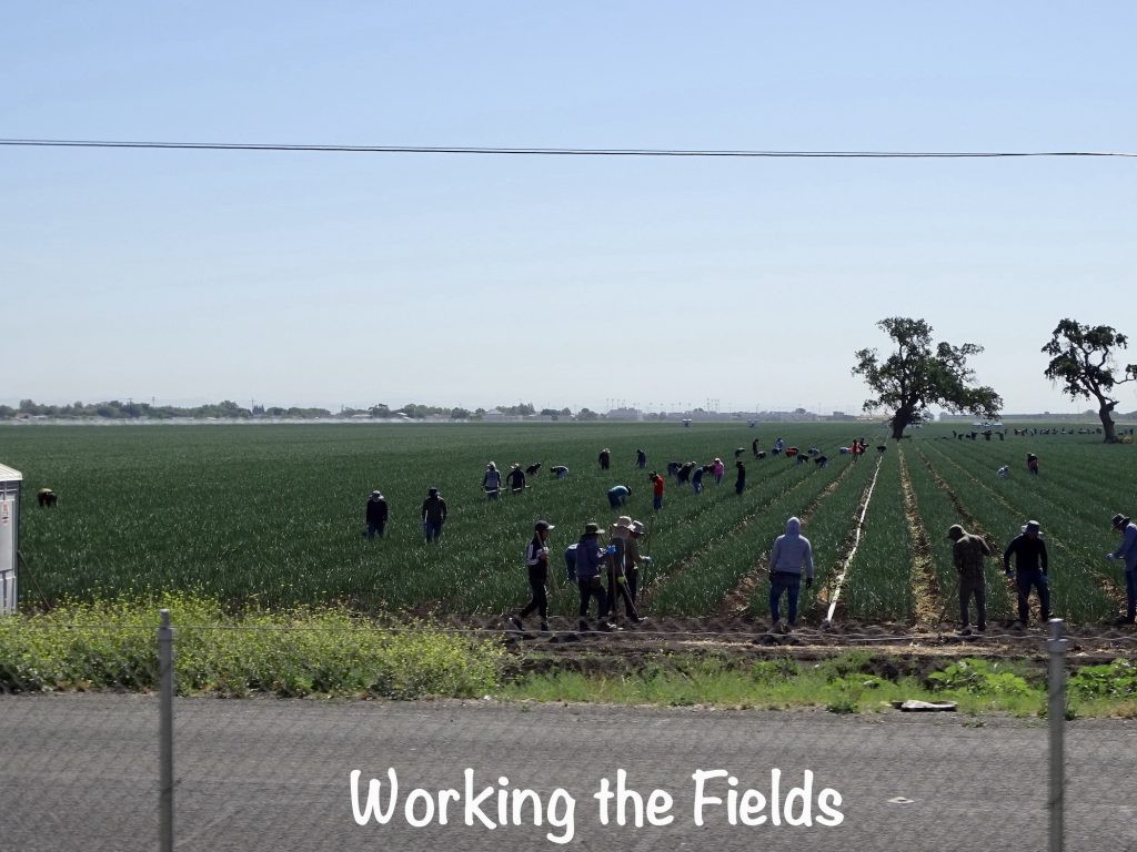
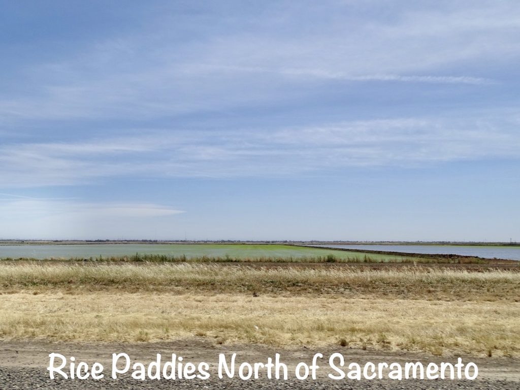
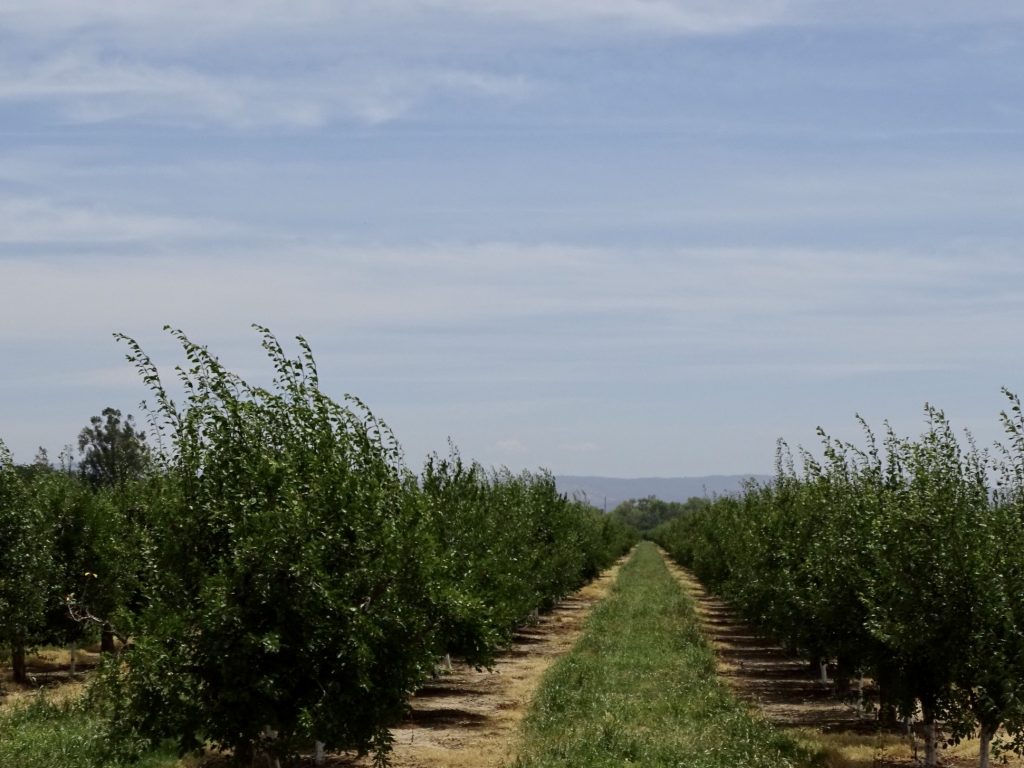
Thursday I was up at 5 AM so that I could get a good walk in before we hit the road. A couple of hours later we were headed north, retracing my route from yesterday on CA-99 to Fresno. Today was about distance, because we had further to go than normal. A couple of months ago, the people from Brennan Island State Recreation Area, where we planned to stay for Memorial Day weekend, called to say their management contract was up, and they were CANCELLING ALL RESERVATIONS until they had a new one in place. WHAT??!! (Didn’t that contract have an end date when we booked the site in February?!) We panicked a little bit, because reservations have occasionally been hard to find on regular weekends for this trip. After a quick scramble, we found a new site, but the longer distance meant interstate driving almost all day…YUCK! The one plus to that is that I could take care of some bookkeeping work on the drive, though, because there is a lot less to see on the highways. We continued north thru Modesto and Stockton. There we looked, but could not find any evidence of the Barkley ranch or the Big Valley (just kidding), so continued north through Sacramento. We were surprised at how quickly the cityscape turns into nothing but crops north of Sacramento. There didn’t seem to be the endless suburbs you normally associate with large capitol cities. In Oroville we finally stopped for late lunch at Applebee’s, mainly because it was the only place we could find with enough parking. It wasn’t bad, but the service was slow. Then we took the final leg out to Lake Oroville State Recreation Area. This entire drive was filled with agriculture. As an east-coaster, I grew up with certain images of California…Hollywood, surfing, giant trees, wine country. Although I know that a lot of crops come from the state, I wasn’t prepared for the scale and beauty of the agriculture in the Central Valley. Between the Sierra Nevada to the east and the Coastal Ranges to the west, there are hundreds of thousands of acres where they produce MORE THAN HALF of the fruits, vegetables, and nuts grown in THE ENTIRE COUNTRY! We passed oranges, peaches, nectarines, almonds, walnuts, grapes (for raisins), rice, green onions, and tomatoes. It is amazing to look down the row in a grove of large trees and see a straight line to the mountains. There were also quite a few dairies. The big plus for the day was leaving the high 90s for cooler weather in the mountains. As we were setting up, it was in the low 80s and very pleasant. We even had some trees for shade and a little breeze. After getting situated, MW walked over to check out the bathhouse. As he went around the corner, he scared the heck out of a mama deer and her fawn. My evening was spent catching up on writing.

FUNNIES: As we checked into the park today, there was a sign posted on the gatehouse window…”The purchase of an Annual Pass does not ensure adequate launch facilities or desirable water levels at all State Park Units.” Are there people out there who think that buying a pass guarantees water levels? I found a couple more on my unshared list. A billboard in El Paso, Texas, said “Text and Drive Lead to the Dark Side”. One in Rock Hill, South Carolina said “Life’s Short. Get a Divorce.” The writer of that one clearly didn’t marry the right person. Finally, a fireworks stand in Abbeville, Alabama, was named “I Know A Guy Fireworks”.
Friday morning started with some early writing, followed by…a nap. I was just feeling a little off and REALLY tired. MW’s day started with coffee outside, enjoying the mild weather. While he was sitting there, something really cool happened. He heard some scurrying around on the other side of our picnic table and watched to see what it was. He thought it might be a cat, but out walked a fox. The little guy sniffed around our site, coming to within a couple of feet of MW’s shoes. Deciding that was close enough, MW moved his foot. That was the first time the fox realized he was sitting there, and the little fellow lit off into the woods. Later I joined him outside and got the story. We also heard our neighbor for the first time. A guy tent camping alone, he was really quiet the night before, but today a friend showed up. Turns out the tent camper has a very loud voice and talks like a stoned surfer hippy from the 70s…”Dude, the last leg up the mountain was gnarly for my truck! It was cool, though. Know what I mean?” Honestly, I didn’t know people really talked like that. It was particularly funny when I got a look at him…late 30s or early 40s office worker.
SIDE NOTE: Do you remember the “Valley girl” image and lingo we all saw and heard in 80s tv shows and movies? You know…big hair in a high pony tail with a really big scrunchy, high-top sneakers, skinny belts, lots of chewing gum, and the constant refrains of “I was like”, “grody”, “as if”, and “Oh m’ God!” I really thought that was all completely exaggerated. Back in the early 90s, MW was stationed at El Toro Marine Corps Air Station in Southern California. I flew into John Wayne Airport quite a bit, and one day, as I was waiting out front for my ride, I hear “Oh m’ God!” I turn around to see two Valley girls having an animated conversation using all of the idiosyncrasies we had been seeing. There was no exaggeration.
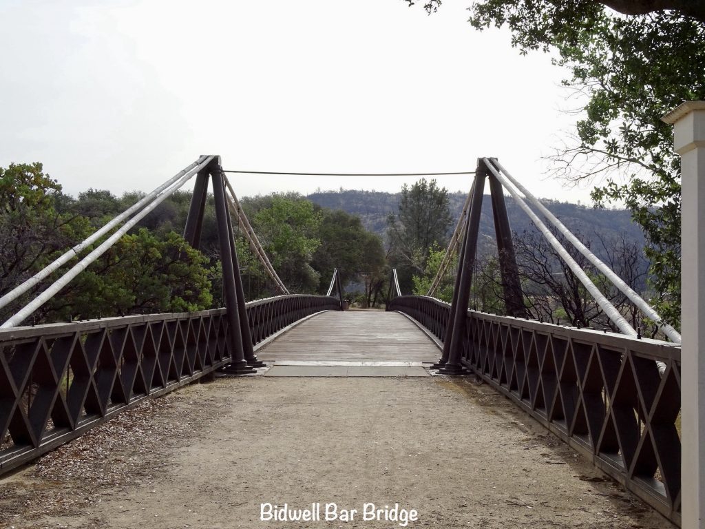
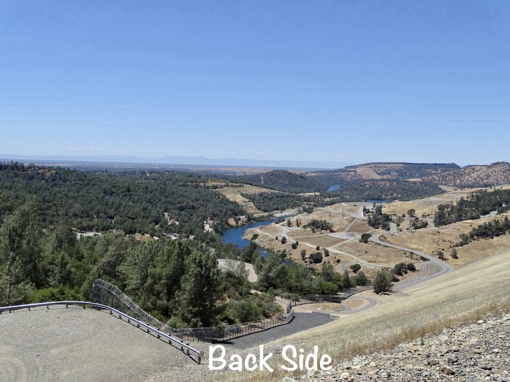
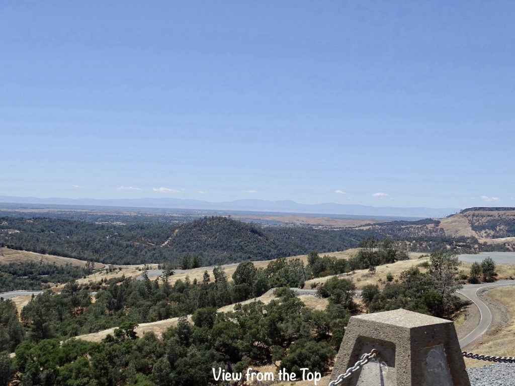
It was a walking day, so eventually I managed to get myself together. MW and I headed out for a 45-minute walk around the park, including the trail over on Wyke Island (really a peninsula with the lake so low). To get there, you cross the Bidwell Bar Bridge, which was originally constructed in 1856 at a site about 1-1/2 miles away and was California’s first suspension bridge. They moved it to the park in 1977 for preservation before the dam was built and the rising waters inundated the original site. After that activity, it was time for nap number two. Later we went to the grocery store, stopping at the Gourmet Kitchen for some Chinese on the way. (It was a fluke that we saw this place, but the food was really good. It seems like most Chinese restaurants have switched to the buffet format, but I think the food is better at the order-off-the-menu places. Plus, I don’t eat as much.) Back at the barn, I took another nap. I KNOW…ridiculous! Hopefully this funkiness will be gone soon!

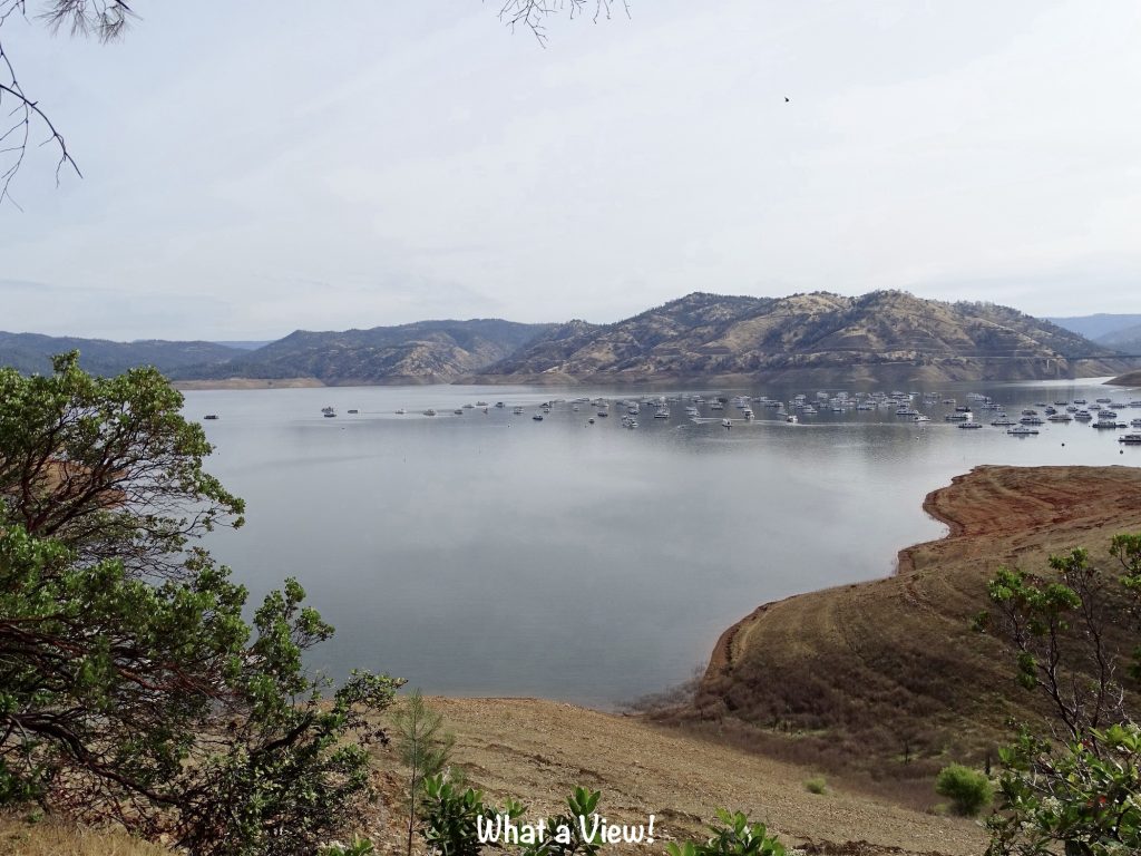
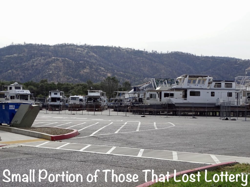
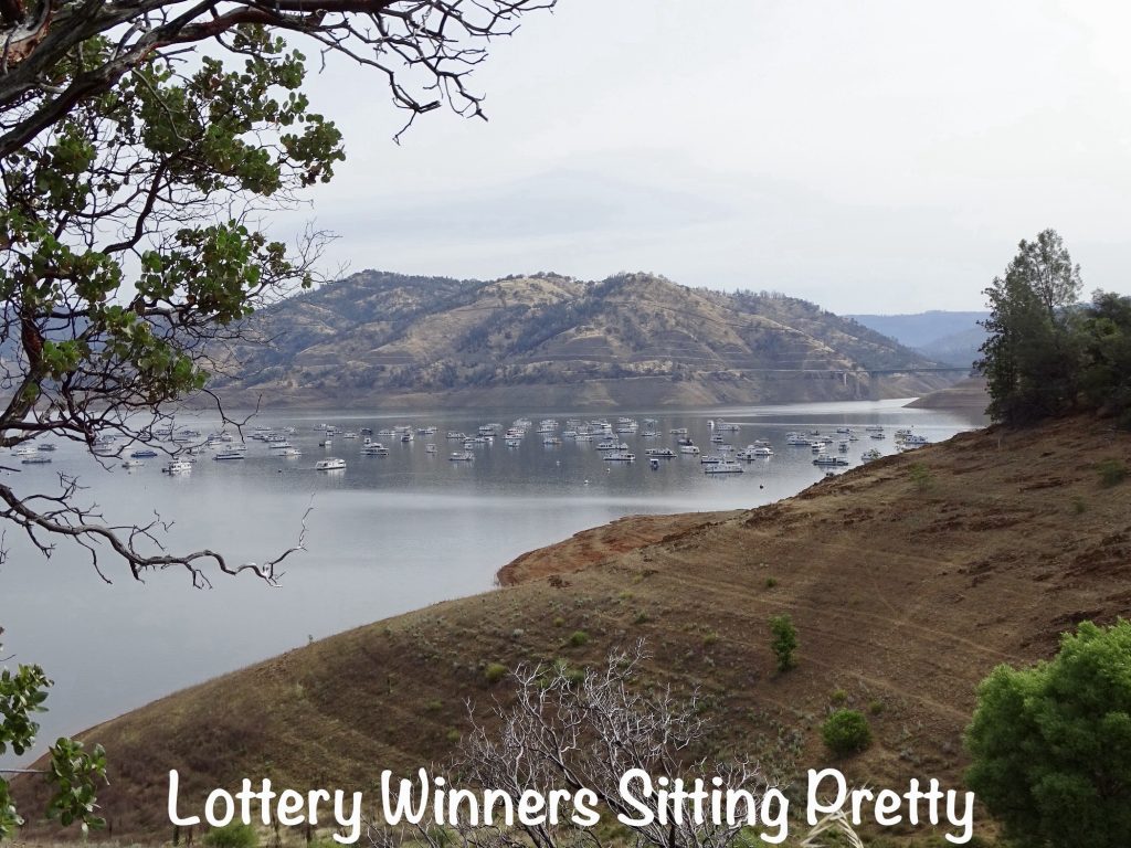
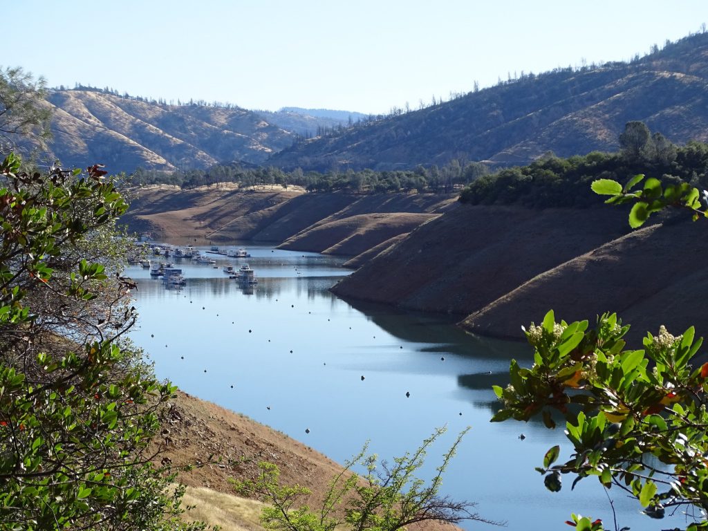
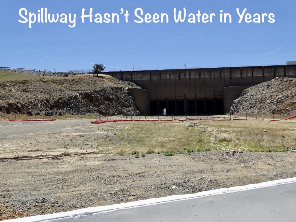
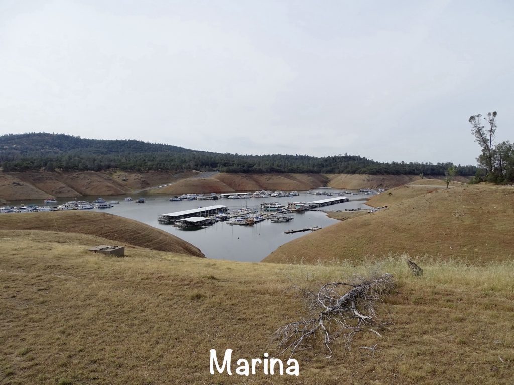
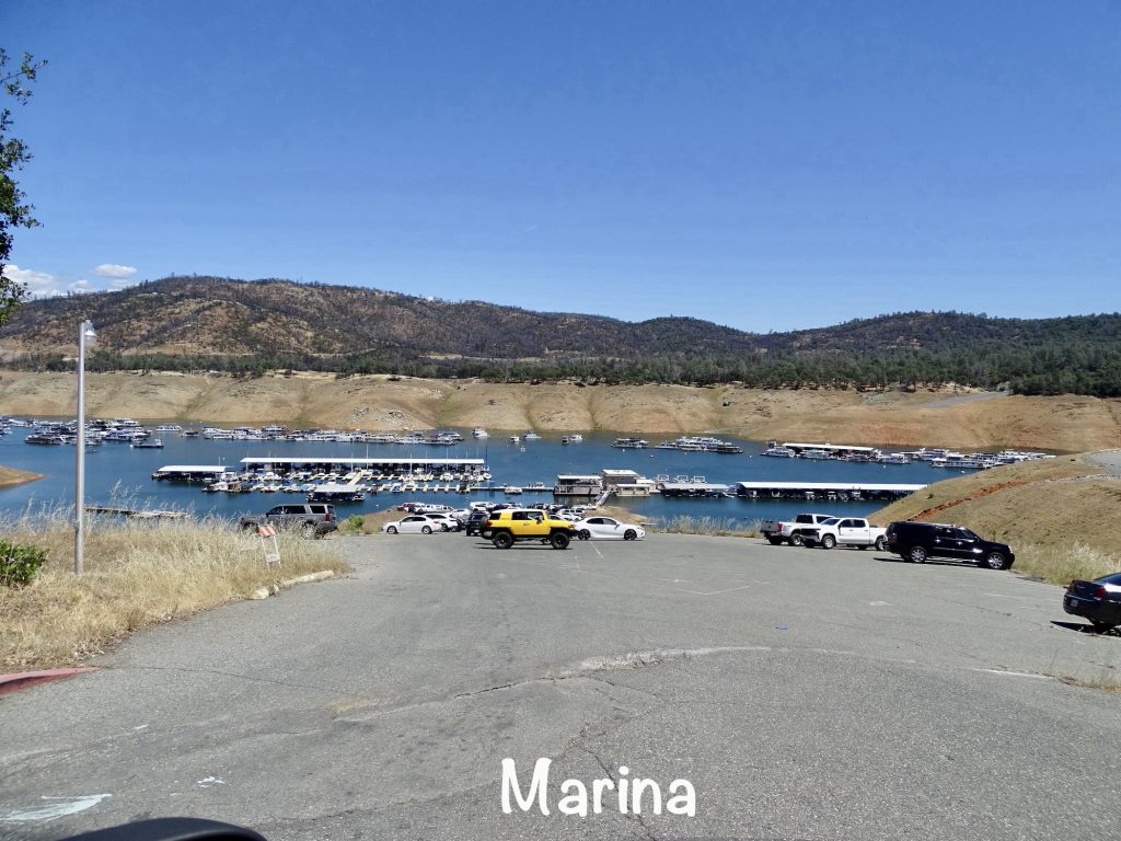
ODD THING: On our walk we headed over to the boat ramp. As you can see from any of the lake pics, the lake is low by more than 100′. Most of the parking lot at the ramp is taken up by an area fenced in by chain link. There are a LOT of boats dry-docked on blocks there. Later we asked one of the park workers what gives. He said that, because the lake is so low, the powers that be decided that half of the houseboats in the water had to be removed. They had some type of lottery, and the losers’ boats are in the parking lot. These are BIG boats, and that happened more than a year ago. I asked if they switched out who got to stay in the water, and he said no. The ones in the parking lot will stay there until the water rises…in California…during a years-long drought. Can you imagine being one of the losers. You have a big boat that you are most likely making payments on that you cannot even use. There is no other lake anywhere near, either. Plus, you’d better be keeping up the insurance, because apparently someone broke into one of the boats and ended up setting it on fire, which damaged some surrounding ones, too. Wow! The park has no idea who did it, but suspects a homeless person trying to get warm or someone using a 15-minute drive-thru pass looking for something to steal. They did eliminate the drive-thru passes as a result.
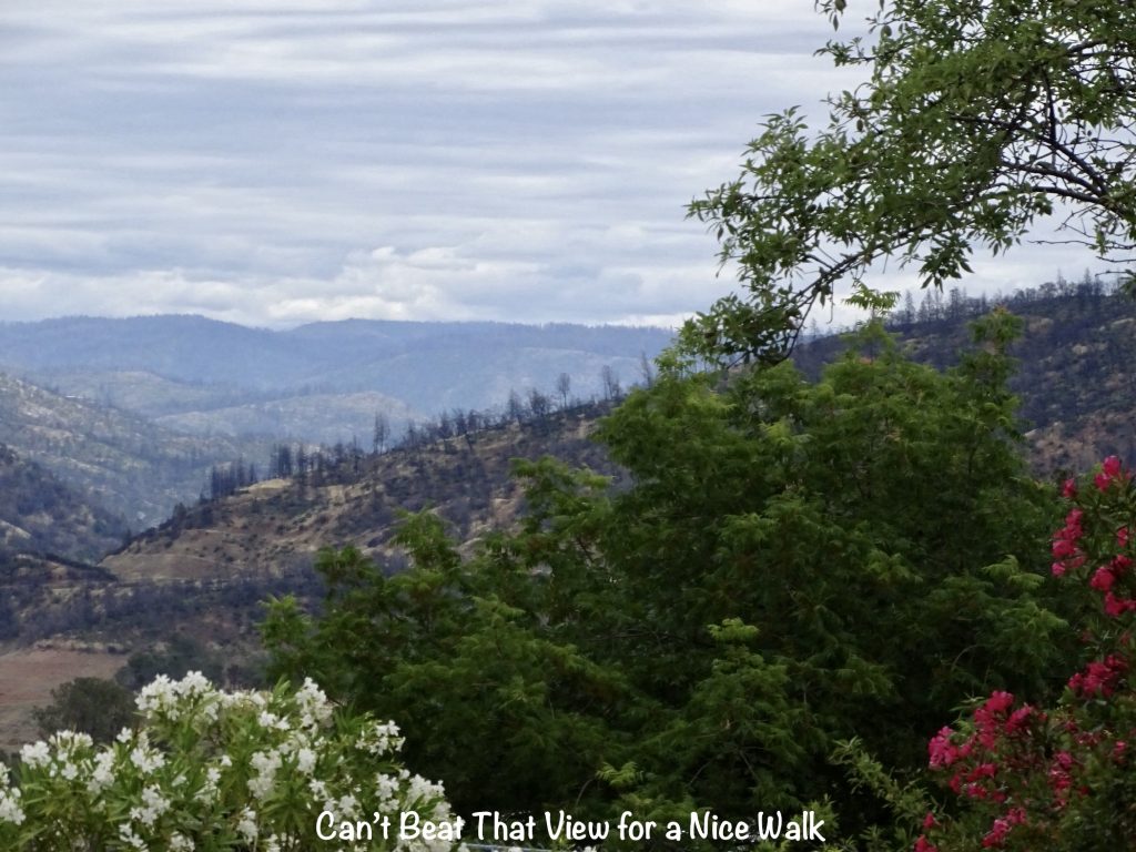
Saturday we decided on a lazy day. Well, not completely…I headed out mid-morning for a good, long walk, this time on the road. The main road on the mountain has wide, paved shoulders, so I was able to go for quite a while safely. At some point, a little chihuahua ran out to greet me. Its owner was standing out in the yard on the corner of a busy street with that little dog NOT ON A LEASH! I stood still and prayed the little fellow only wanted to visit with me and wasn’t interested in something across the road. When he got close enough, I got ahold of his collar, first introducing myself, of course. After getting back, I did some writing, and we both took naps. That’s just about a perfect day!
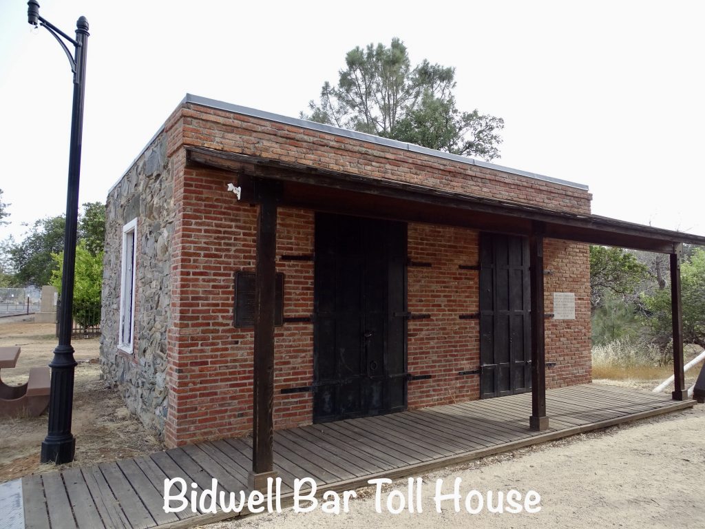
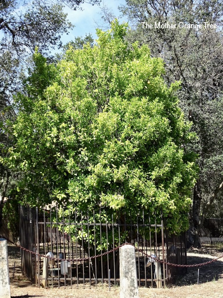
Sunday we caught up with our Sneedville First Baptist peeps for church, then headed out for a walk over to the Visitor’s Center (about 3-1/2 Miles). For some inexplicable reason, it is only open Tuesday thru Thursday, despite the park being mostly used on the weekends. Even the park employees are confused by that. It was a really good walk, though. Later, after cleaning up, we headed to the Feather Falls Brewing Company at the Feather Falls Casino, owned by the Concow-Maidu tribe. This is the number one rated restaurant in Oroville, and we agree wholeheartedly! MW had the Island Style Shrimp Tacos with the Volcano Mudslide stout, and I had the Thunder Wings appetizer and a side salad. OMGosh! It was all totally delicious! The brewery has won tons (not wontons) of awards for various beers, the stout being a consistent frontrunner. Before we left, MW had to sample the Blueberry White Chocolate Cheesecake. Well, let’s be real…he didn’t sample it. He ate almost all of the gargantuan slice right there in front of me. Before heading back to Petunia, we grabbed a few more groceries, checked out a laundromat for my upcoming chores, and stopped by to see the Mother Orange Tree. What is that, you ask? It is the oldest living orange tree in California. Imported from Mazatlan and planted in 1856, this tree was the beginning of the citrus industry in this part of California, hundreds of miles north of the “citrus” region. Originally located near the toll bridge at Bidwell’s Bar, it was moved in 1964 because it too was going to be inundated by the rising lake. For almost 170 years, it has been producing fruit, although today it is carefully pampered with a greenhouse, warming lamps, and a mister. It is said that seeds and seedlings from this tree are the backbone of the area’s orange industry.
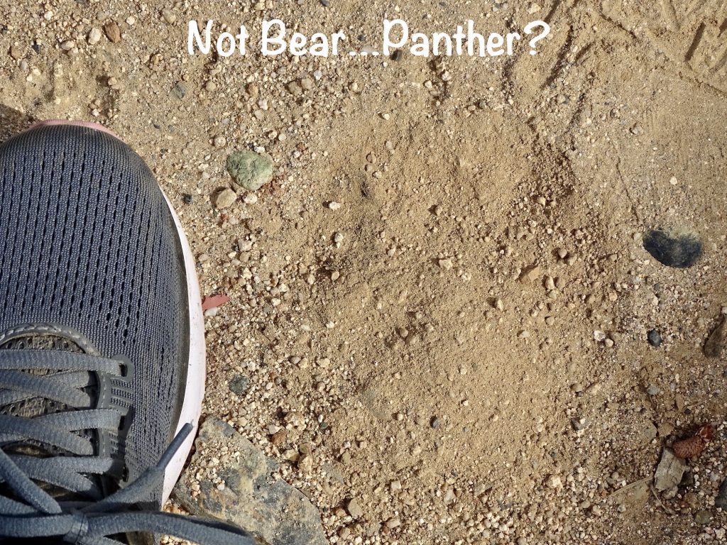
SIDE NOTE: Recently we’ve gotten back into big predator country. Last week at Sequoia National Park, we received information about bear encounters. It advised that, in the event you run into a black bear, you need to get big and make a lot of noise. They went further and said that, if the bear approaches your picnic table, you CANNOT allow them to get your food. So…throw rocks at it. WHAT?!!! That just doesn’t seem like a smart move to me! When we checked-in at the Lake Oroville campground, we were given a pamphlet about mountain lion sightings. The advice…get big and make a LOT of noise. If that doesn’t work, “throw rocks, branches, or whatever can be obtained WITHOUT turning your back or BENDING OVER”. (Emphasis added.) It seems to me that, since rocks and sticks typically reside on the ground, it’s a pretty tall order to get them without bending over and becoming prey. The other note says “report any mountain lion sightings to the park rangers”. There would be no need for a formal report. Me coming screaming and cussing out of the woods would pretty much alert everyone to the situation. I just think I’ll ask God to keep me away from mountain lions. And bears. Except if they are very far away and don’t see me. That would be cool.
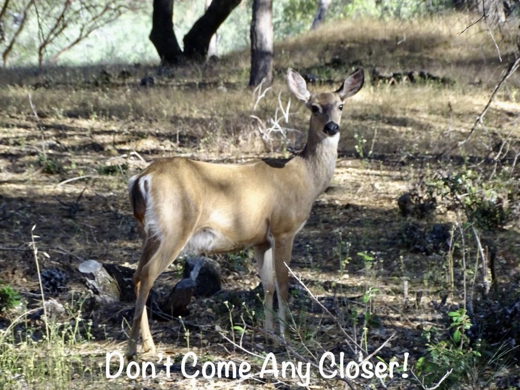
Monday started with a nice long hike in the woods (about 3 miles total). MW wasn’t in the mood, so I hit the trail along the lake. The water is very low, though, and the lake is actually about 200′ below the path. The views were amazing, and I enjoyed the quiet. I didn’t see bears or mountain lions, but did scare the bejesus out of one deer. A small herd of her friends returned the favor a little further down the trail as I rounded a blind curve.
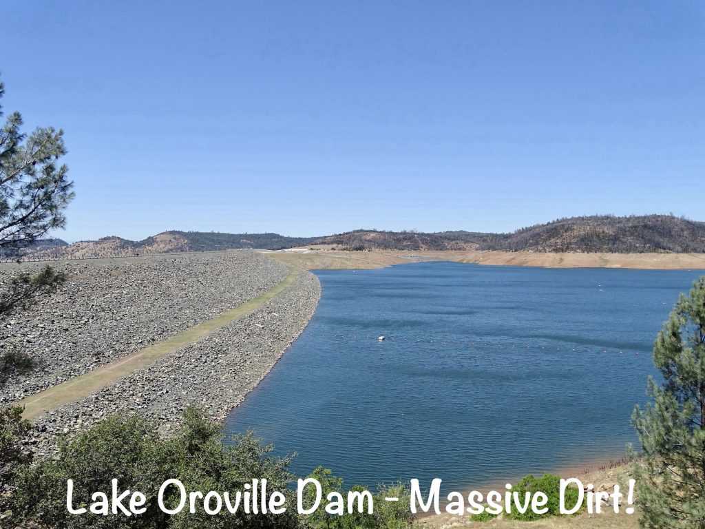
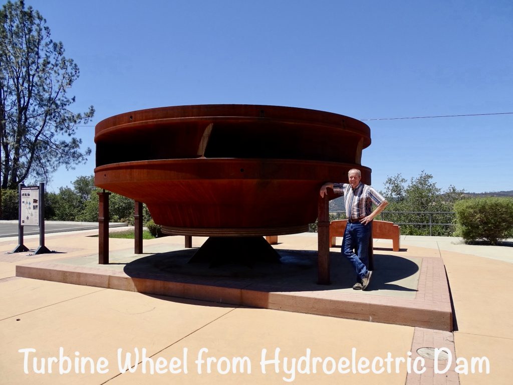
Later we headed into Oroville to have lunch at Shakey’s Pizza. MW remembered them from his childhood, so we had to check it out. They are known for, believe it or not, the chicken. It was pretty darned good, too. Next we headed over to check out MW’s favorite thing, the dam. This particular one is the tallest earth-filled dam in the country at 900′, so it was particularly exciting. Everyone except our neighbor across the street had vacated the park when we returned. After three nights of Memorial Day weekend drunk, loud, obnoxious partying until the wee hours, we spent the afternoon enjoying the quiet. It was blissful!
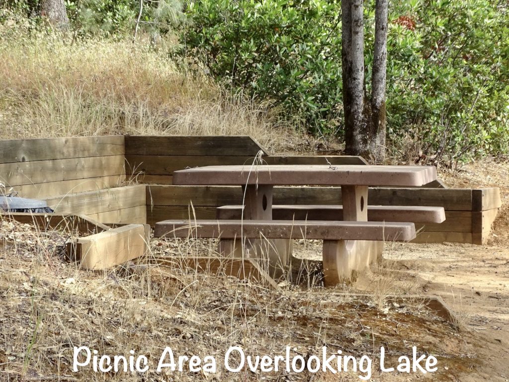
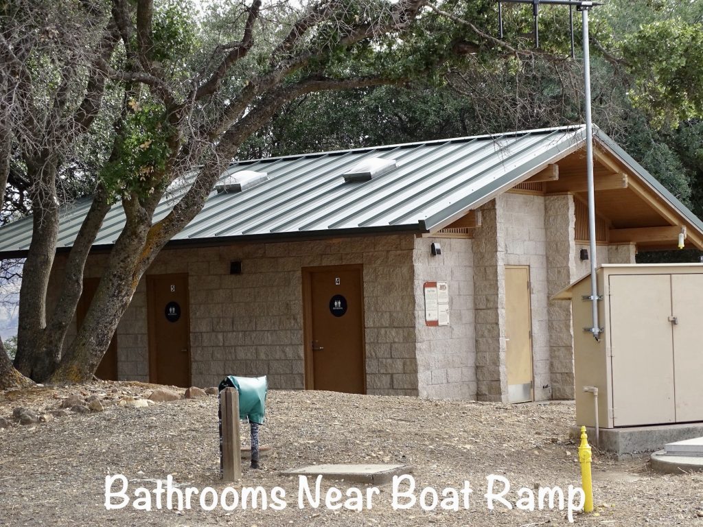
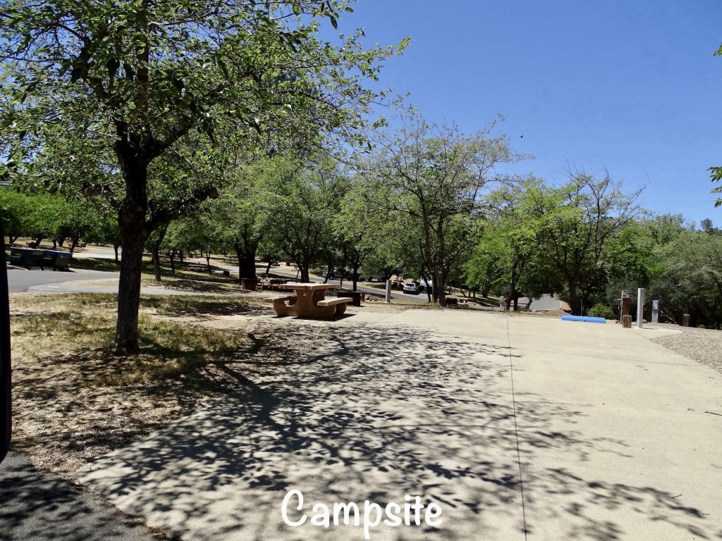
The Bidwell Canyon Campground at Lake Oroville State Recreation Area was okay. It is a strange setup, situated high above the lake, and the main road lined with the backyards of neighborhood houses. (In addition to the folks in the campground, you could hear any moderate noise from the back decks of the houses.) Park amenities include a recreation hall, marina, boat launch, boat rental, picnic areas, marina store, and quite a few hiking/biking/horseback riding trails. The campground is divided into two loops, and some of the site setups are very strange and pretty crammed in for an SRA campground. I forgot to get a pic of our site, but the paved area was very narrow with quite a bit of drop-off on either side. Our picnic table and fire ring were on the door side. The site behind us was situated on a hill, so their picnic table and fire ring were down the hill right outside of our back windows. The site on our door side had a steep drop-off on their door side, so their picnic table and fire ring were right beside ours. No kidding! There wasn’t 6′ between their table and ours, and there probably wasn’t but 10′ between the two parking pads. Their information says that the sites are 40′ max, but there are a few that might be a little longer. Most are definitely NOT suitable for big rigs, and they require that you park on the pavement at your site or in the parking lot. (First time we’ve ever seen someone come through and give people tickets for not following that rule. The guy across the street was ticked when he came back and found it on the windshield of his 4-wheeler.) There are a total of 75 sites, some with 50-amp electric and water. AT&T and Verizon both worked in the park, and there were plenty of over-the-air tv stations. For this stay in May 2022, we paid $232.99 for 5 nights.

Well, another week down. Next up…well, I’m not sure yet, but something will happen. See you on the path!
Talisa
P. S. Thank you so much for reading! Use the buttons at the top right or bottom to be notified of new posts and please SHARE, SHARE, SHARE on social media!