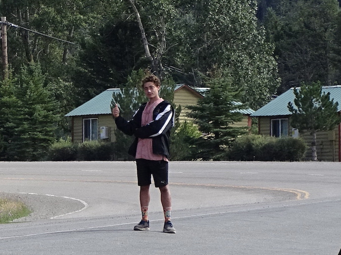
I forgot one thing in the last post: As we were leaving St. Mary after dinner on Sunday, we saw something we haven’t seen in years…a hitchhiker! It’s a different world now, and I sure don’t think that’s the safest mode of transportation.

Do You Think His Mama Knows?
Monday, August 9, dawned with beautiful, mostly clear skies. The overnight temps went down to 45 degrees or so, and it was 55 in Petunia when we woke up. Awesome! That is just the best sleeping weather! We didn’t have too far to go, so we slowly got ourselves together. I chatted with the kids next door before we left. They were from Lancaster County, Pennsylvania, and were on their first big road trip. They flew out and picked up a small rental van, like you would use to move equipment, and put a blow-up mattress in the back. She said she saw it on the internet, and U-Haul was actually advertising for that use. Cool idea! I told them to start keeping a travel log now so they can enjoy it down the road.
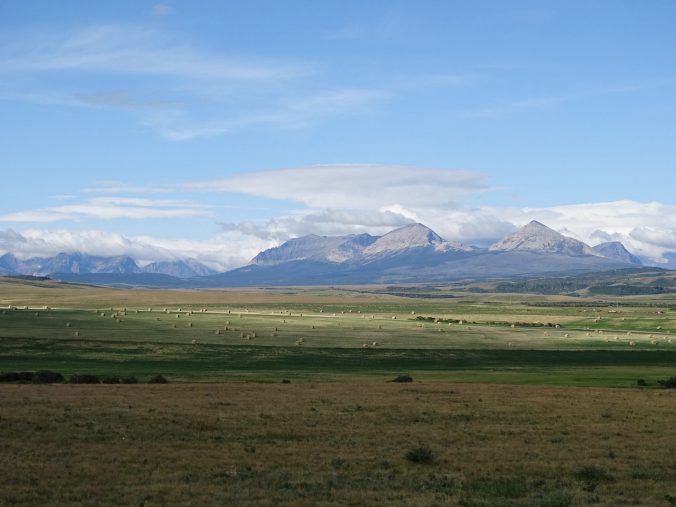
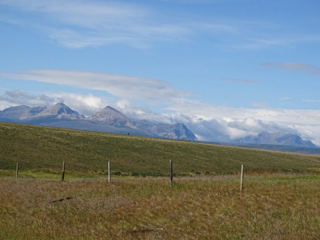
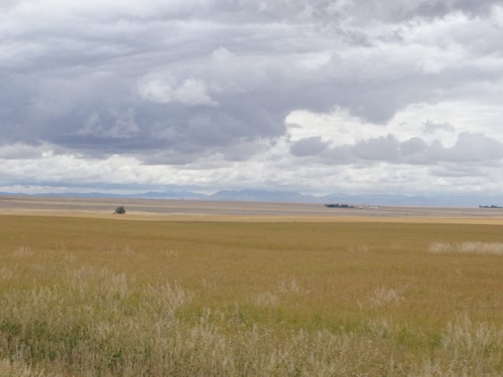
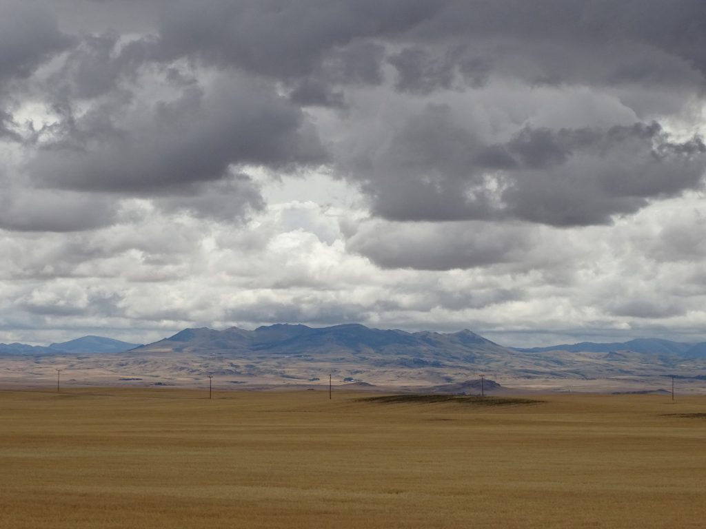
About 9 AM, we got all loaded up. As I was checking lights and tires, there was a little bird hopping around, first under the trailer and then out beside me. When I moved around, it just hopped along with me. I think it was a young Cassin’s Sparrow that couldn’t fly. As we drove out of the campground, there was a flock of Ring-billed Gulls hanging out in the field, too. We headed out, first turning north on US-89, then east and south on MT-464. The terrain makes a very drastic change to rolling grassland immediately east of the Glacier mountains. Visibility was great, and we had terrific mountain views in the distance to the west.
Maybe a Cassin’s Sparrow Ring-billed Gulls


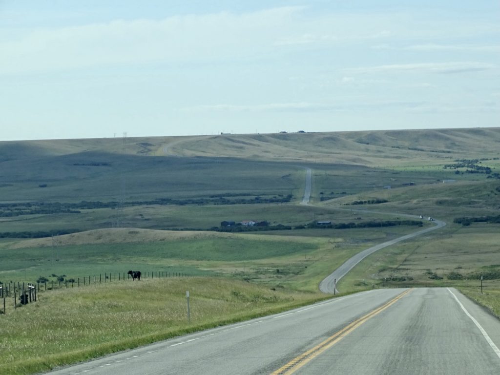
MT-464 View to East MT-464 View to West
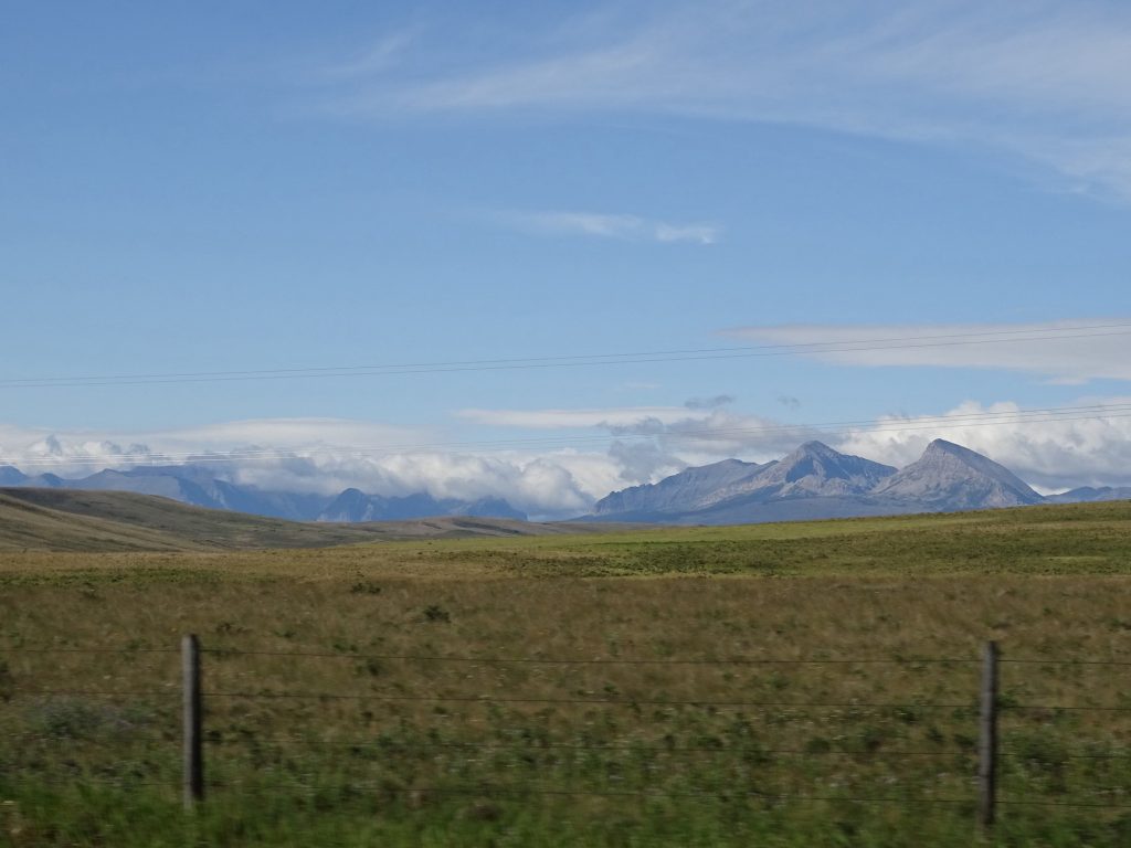
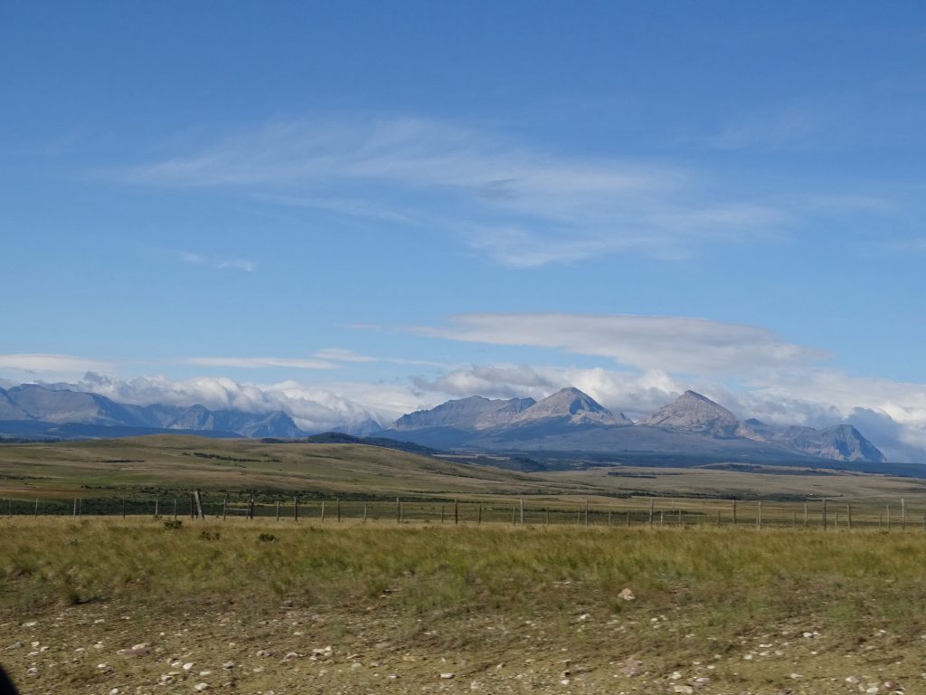
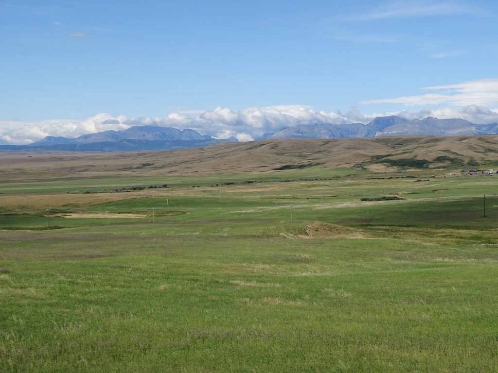
What a View They Are Further Away Than They Look
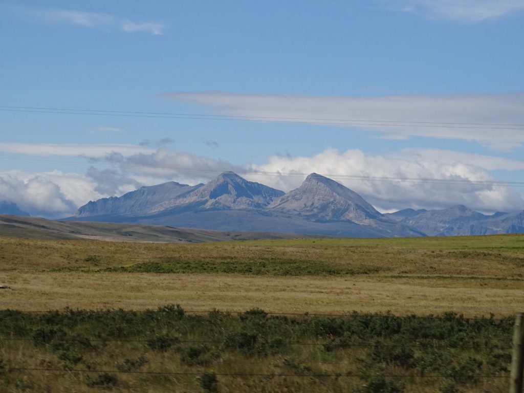
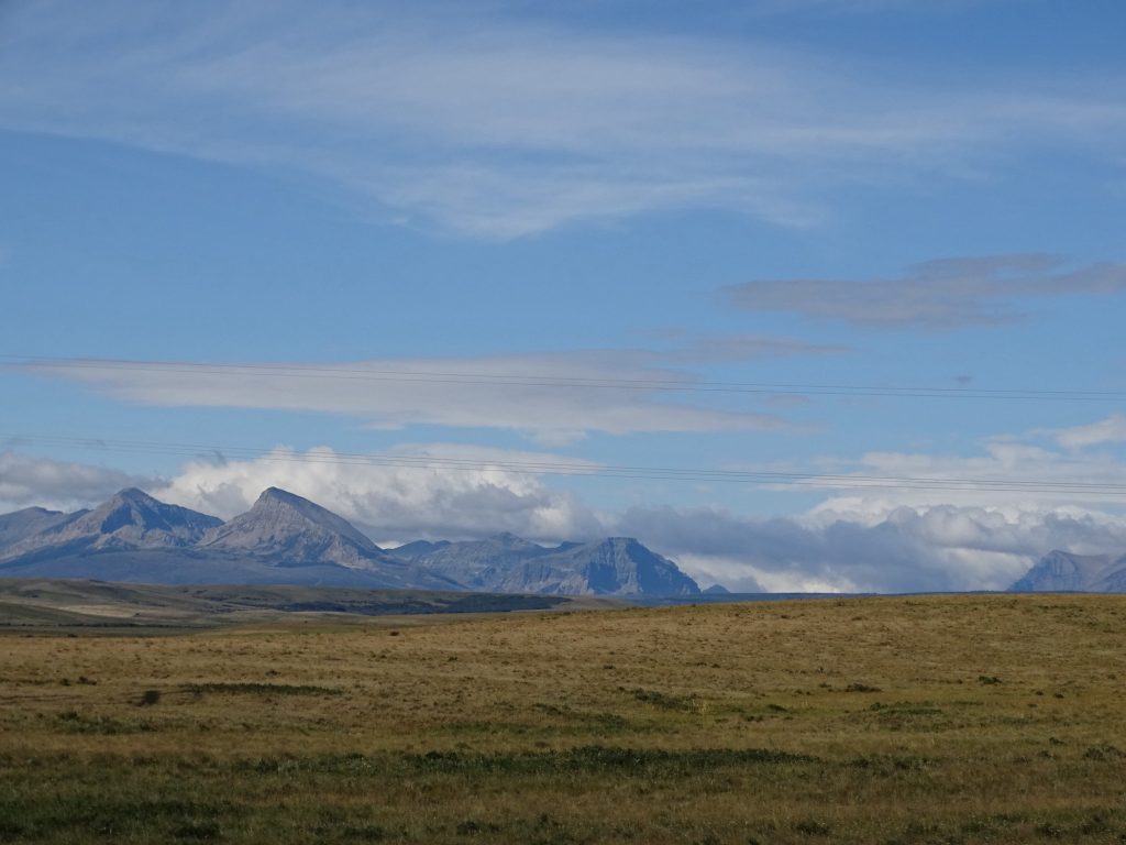
I Could Stare at This… …All Day
MT-464
More Glacier… …Mountains
At US-2, we turned east. The terrain became much flatter, and was a mix of grassland and crops. Just before the turnoff to Blackfoot, we saw the Camp Disappointment Historical Marker. This was a Lewis and Clark camp on their way back from their cross-country journey. It was so named because they were attempting to prove that the Missouri watershed extended to the 50th parallel, and were disappointed when it didn’t.
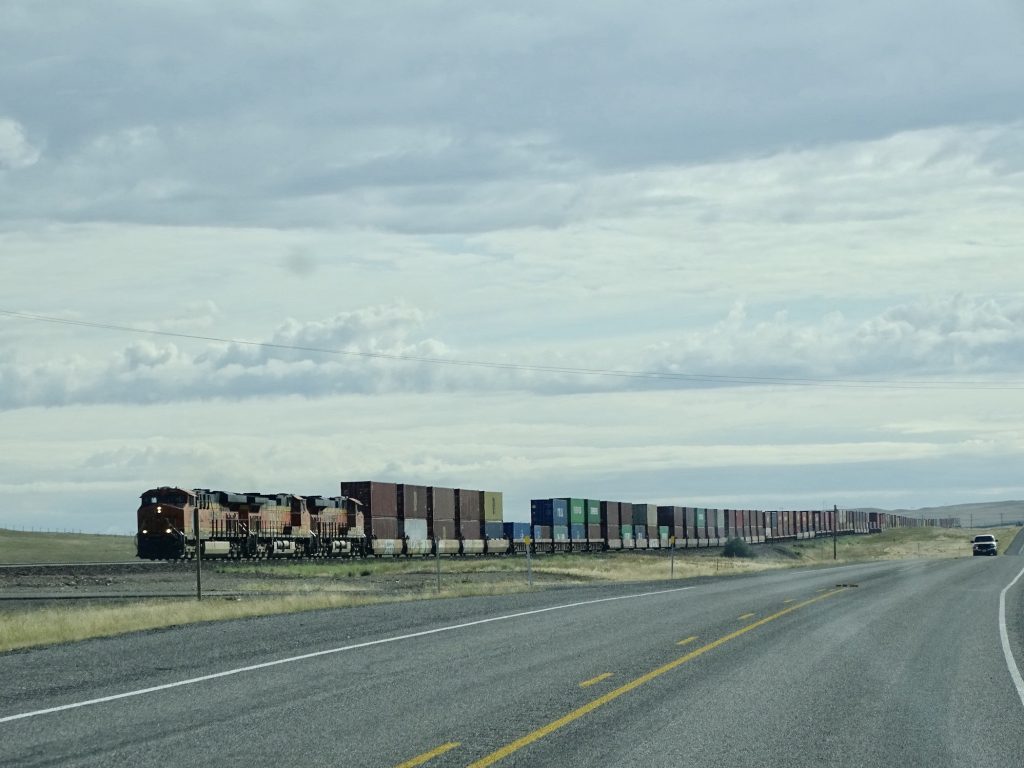
The railroad tracks follow the road, and we ran alongside the Amtrak train for quite a few miles. We also saw several very long freight trains. Mr. Wonderful (MW) measured one at about 1.3 miles long. Another had three engines in front, two in the middle, and three in the back and was well over 2 miles long.
This is Only a Part of One of Them
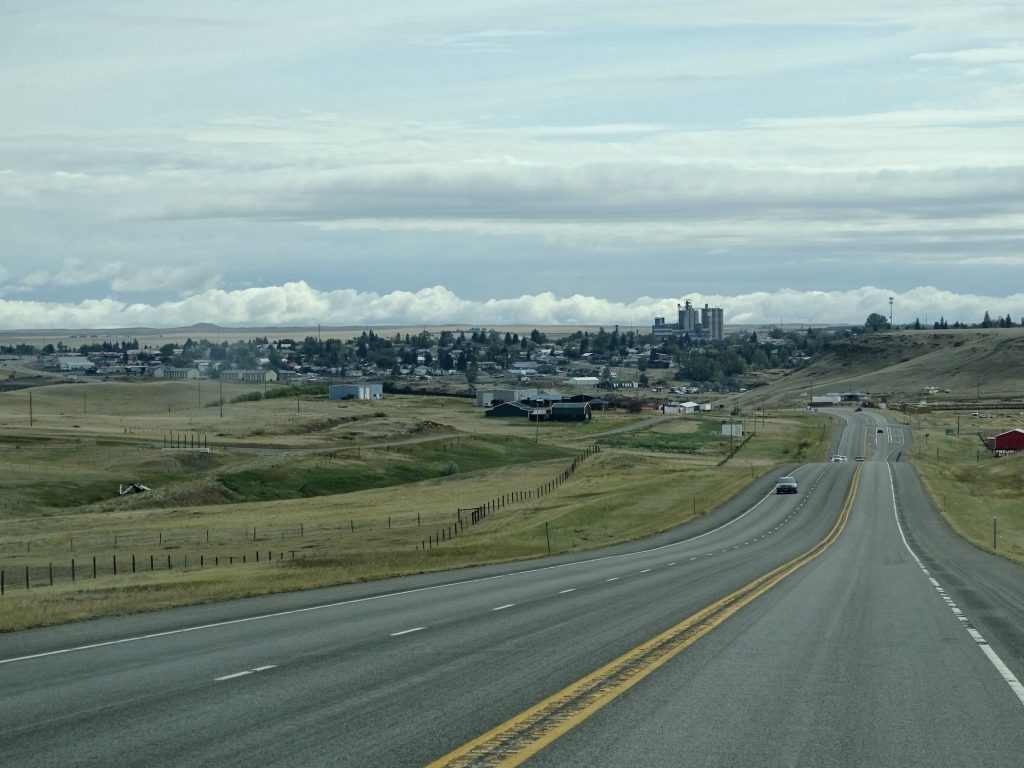
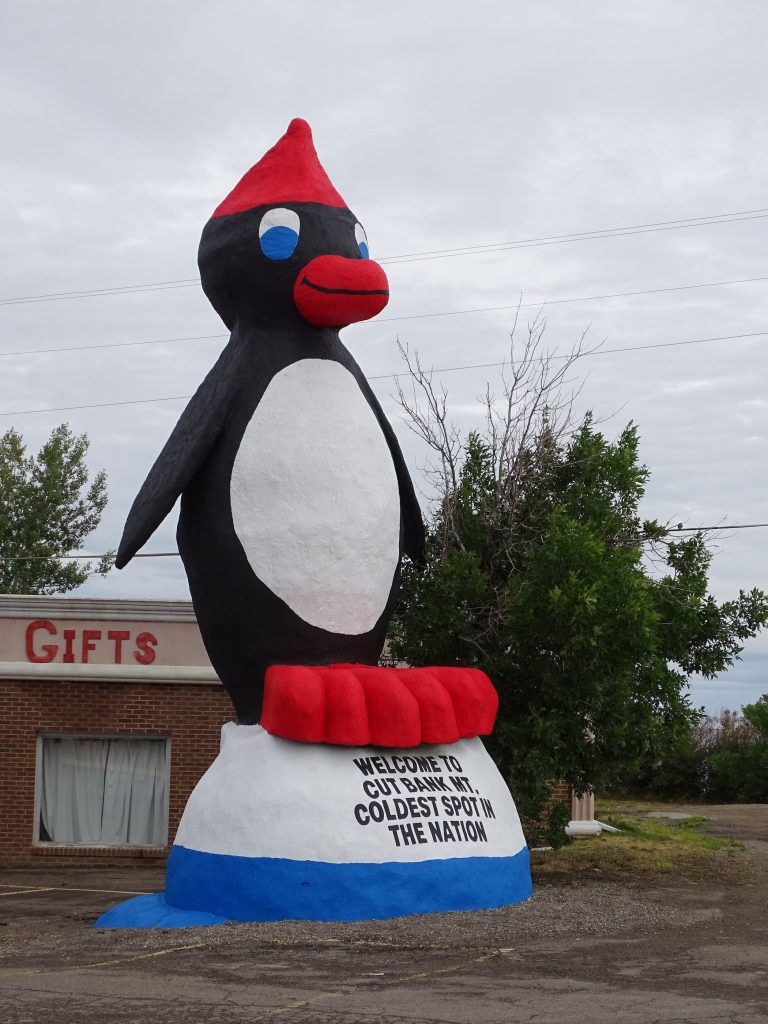
Just west of Cut Bank, we left the Blackfoot Reservation. In town, we took a little detour to check out another Roadside America attraction. In 1989, local businessman Ron Gustafson built a 27′ tall, 10,000 lb. penguin with the slogan “Coldest Spot in the Nation” across the bottom. It received mixed reviews from residents, but Gustafson felt it would bring attention to their little town. Cut Bank does have some very low temperatures…the record is -47 degrees. However, Tanana, Alaska, has recorded lows at -76 degrees. Brrrrr!
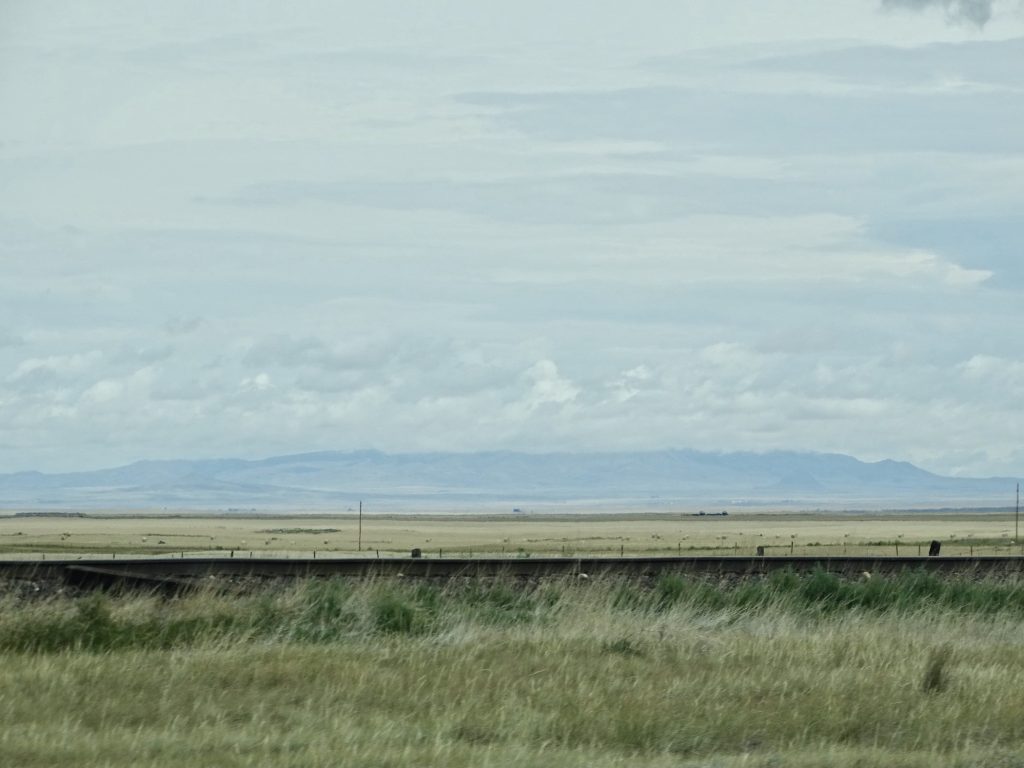
Really Flat Coming Into Cut Bank
Everything Around is Flat Except This Bridge at Cut Bank
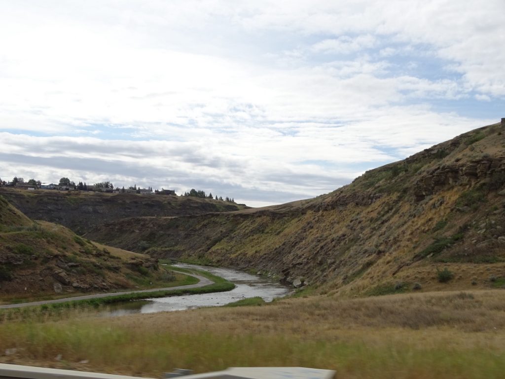
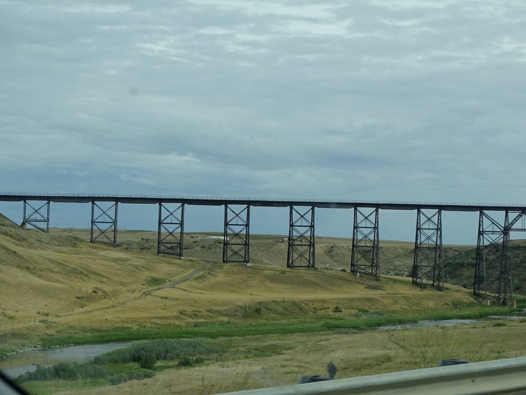
Well…Not Really
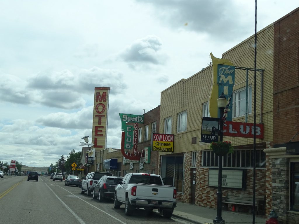
Downtown Cut Bank
We passed the historical marker for the Baker Massacre, now known as the Marias Massacre. In January of 1870, Major Eugene Baker and his soldiers from Fort Ellis were chasing a band of renegade Blackfeet who had killed a family near Helena. They came upon a native village along the Marias River, and prepared to attack. The scout, Joe Kipp, realized that these were not the Indians they were after and told Baker. Having drank all night and raring to go, Baker replied, “That makes no difference, one band or another of them; they are all Piegans (Blackfeet) and we will attack them.” He then ordered that Kipp be shot if he tried to warn the tribe. It is estimated that 37 men, 90 women, and 50 children were murdered. They then set fire to the lodges, burning some alive. They captured around 140 women and children, but the discovery of smallpox among them led Baker to abandon them with no food or shelter in the dead of winter. It is doubtful any survived. When word of the massacre reached the east, citizens were outraged. The Army and the settlers of Montana, however, backed Baker, and no one ever paid for the crimes.
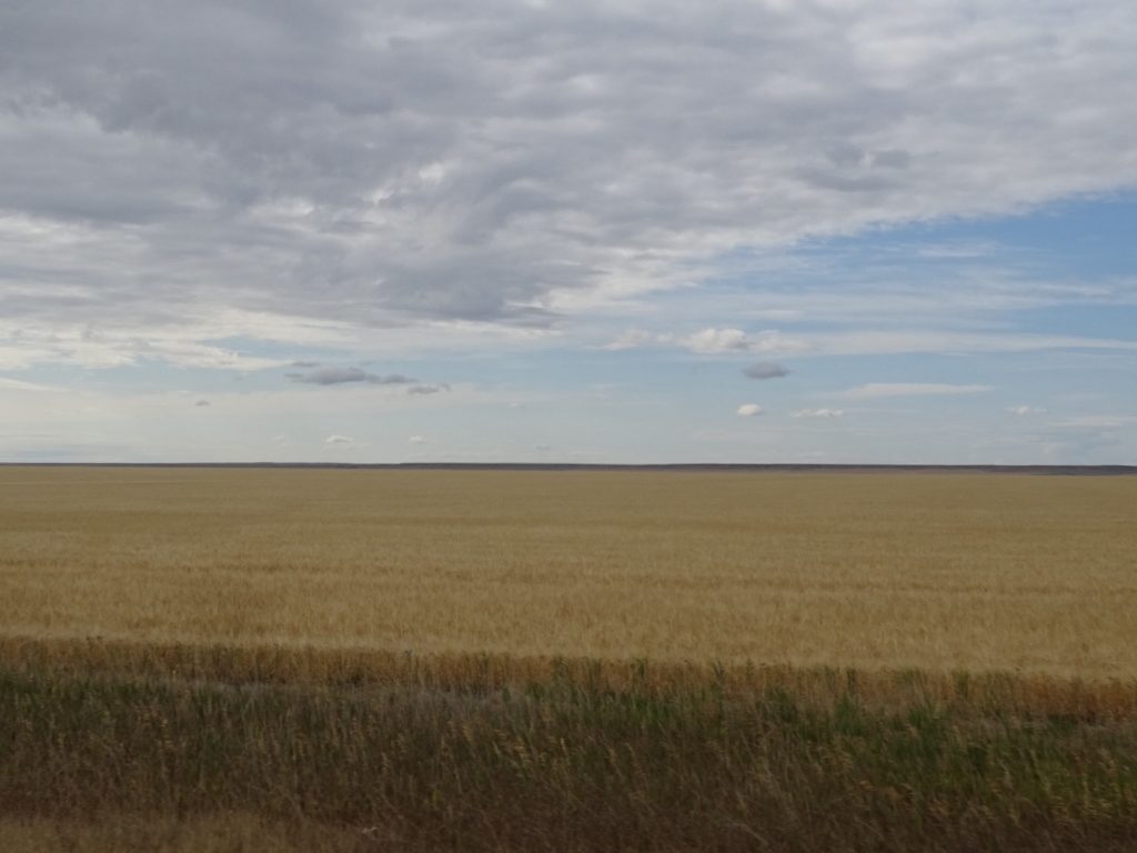
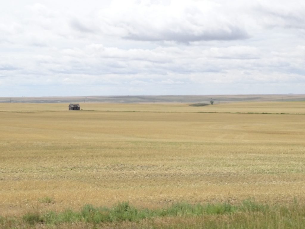
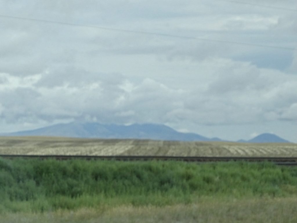
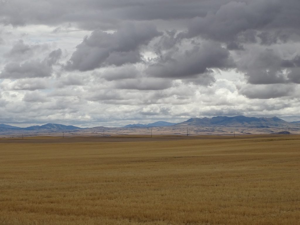
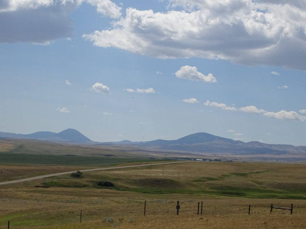
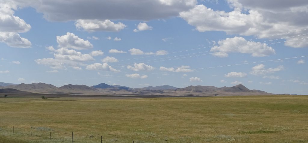
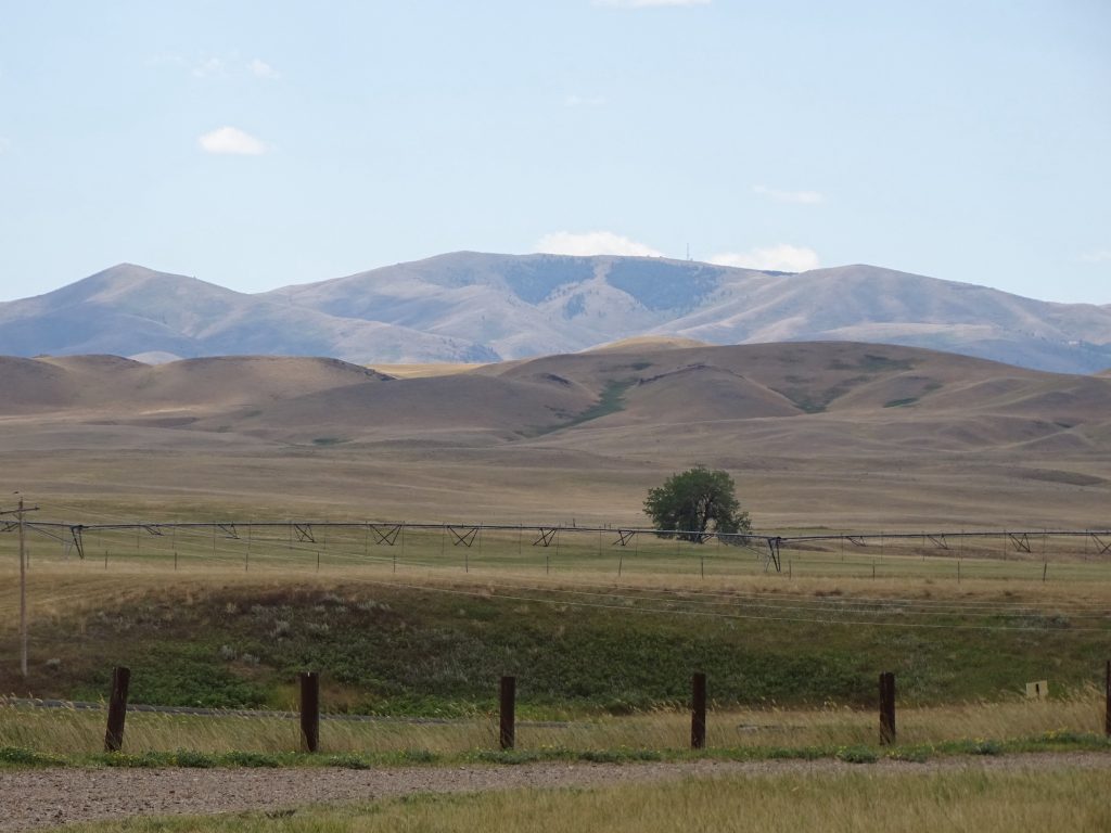
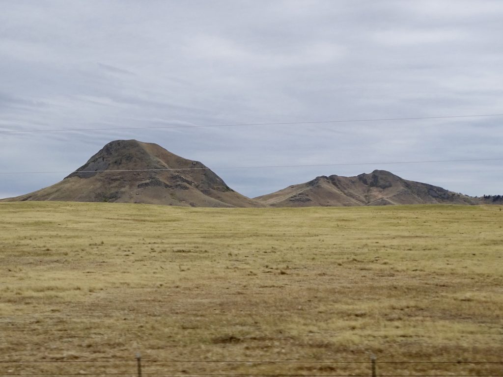
Past Shelby, we started seeing mountains to the north. The landscape was now thousands of acres of grain in all directions. The further east we went, the darker the skies became. One of the things I love about the flat lands is that you can see storms as they move across the landscape. We passed through the town of Kremlin, whose sign said “Kremlin USA Style”. LOL. Just past that, we caught sight of the Bears Paw Mountains to the southeast. Before we made it to Havre, there was a Border Patrol agent stopped at a side road. I know they are up here, but you really just don’t think of them driving around northern Montana guarding that boundary from rogue Canadians, ay.
Range Northeast of Shelby Almost Looks Like a Natural Corral
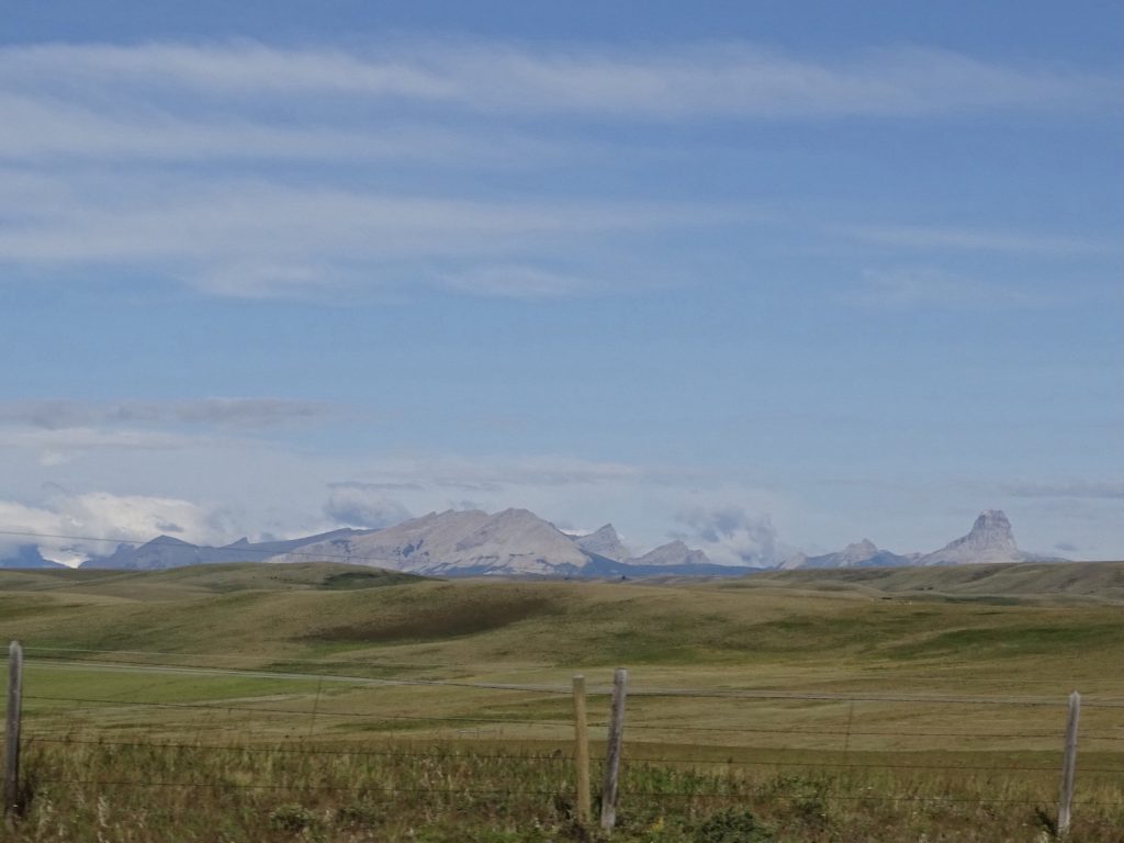
As Far As You Can See In All Directions Sweet Grass Hills
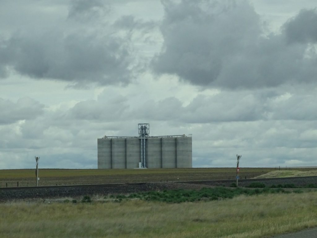
Grain Elevator at Lothair Beautifully Cloudy
Bears Paw Mountains Bears Paw Mountains
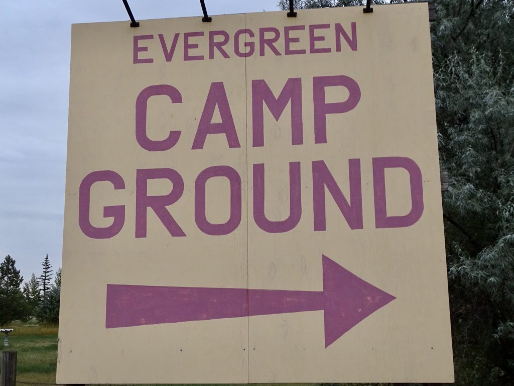
Around 2 PM, we arrived at our home for the next few days, Evergreen Campground just outside of Havre, Montana. After getting set up, we had a nice, relaxing afternoon.
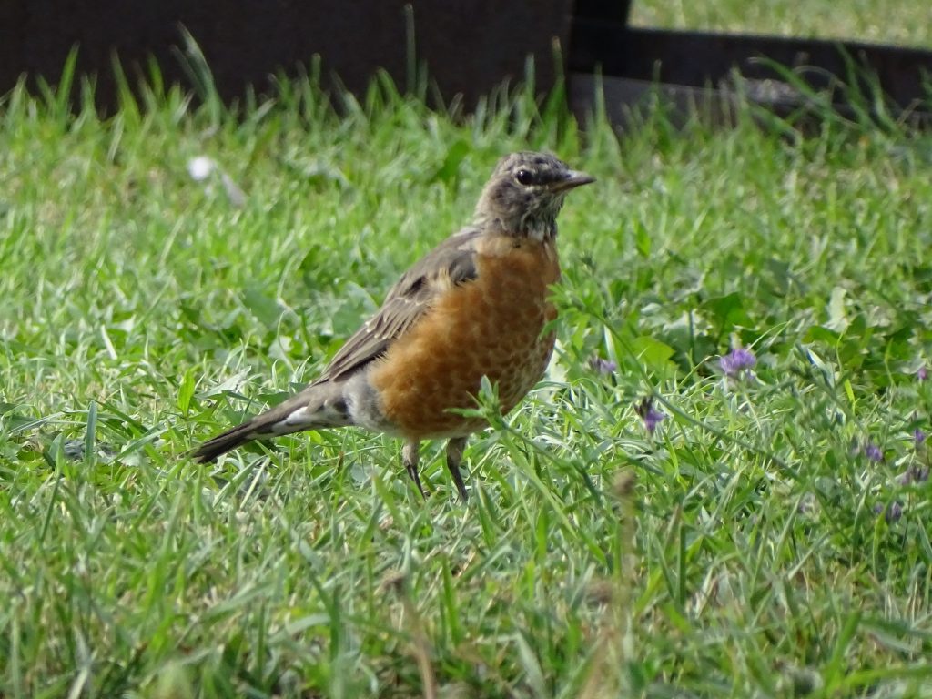
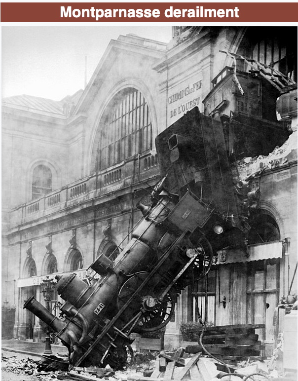
Tuesday morning I slept late to get rid of a headache, then we sat outside soaking in the cool air. It was about 60 degrees in the morning, and the high for the day was projected to be 79. The lawn around Petunia was filled with robins, and I enjoyed watching them work. At lunchtime, we headed into Havre to take a look around, pop by the bank, and grab a bite for lunch. Our first choice for the latter was Nalivka’s Original Pizza Kitchen (MW was having a craving), but it turned out to be take-out only. The next option was The Pro Pizza, which turned out to be very good. There was an interesting pic in the restaurant of a train crash, so I had to look it up. In 1895, the Granville-Paris Express did not stop as scheduled at the Gare Montparnasse terminus. It came in hot, crashed through the buffer, ran through the concourse, and exploded out the station wall. No one on the train was hurt, but a woman on the street was killed by falling debris. She was standing in for her husband at the newsstand while he went to pick up the latest edition. The picture is quite interesting. If you were in the station or on the street, it must have sounded horrific. After lunch we headed back to sit out and enjoy the weather a bit more, and I got part of the clothes taken care of at the campground laundry. Later, before bedtime, we took a walk around the park.
Maybe a Teenager…No Yellow Beak and He Looks a Bit Ruffled
Lots of Grain Havre
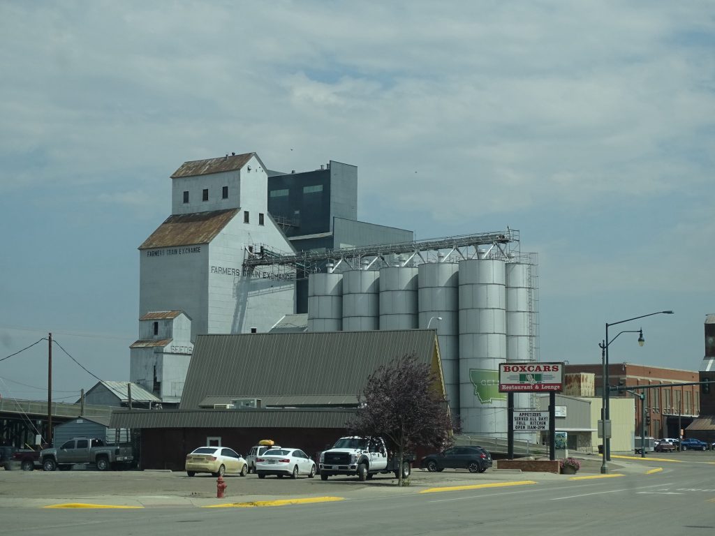
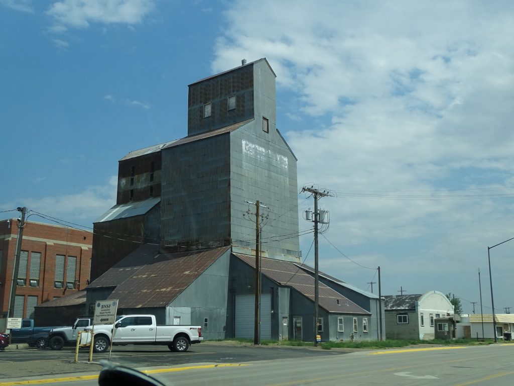
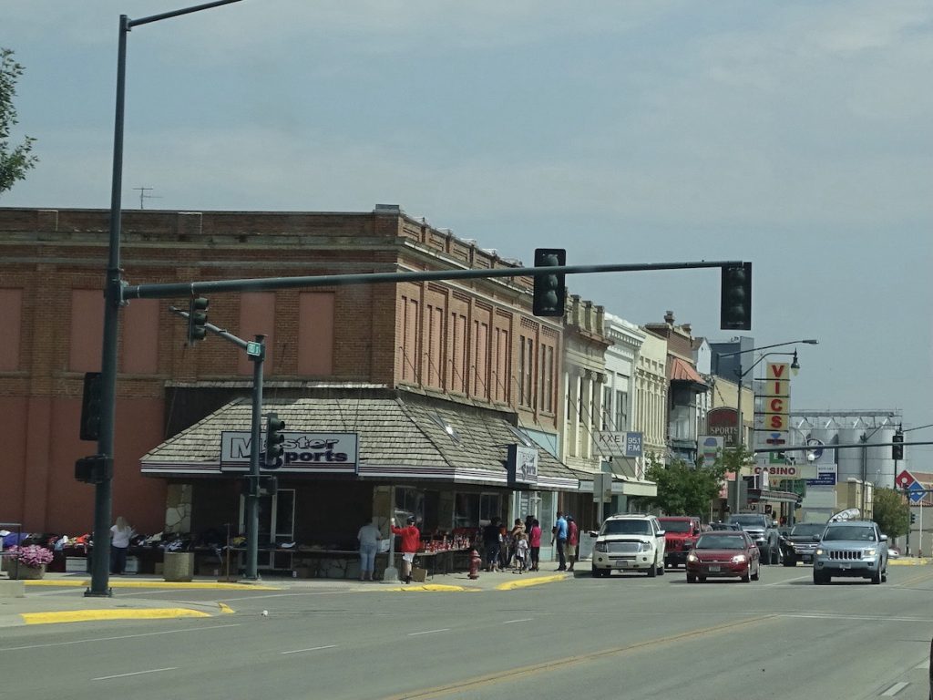
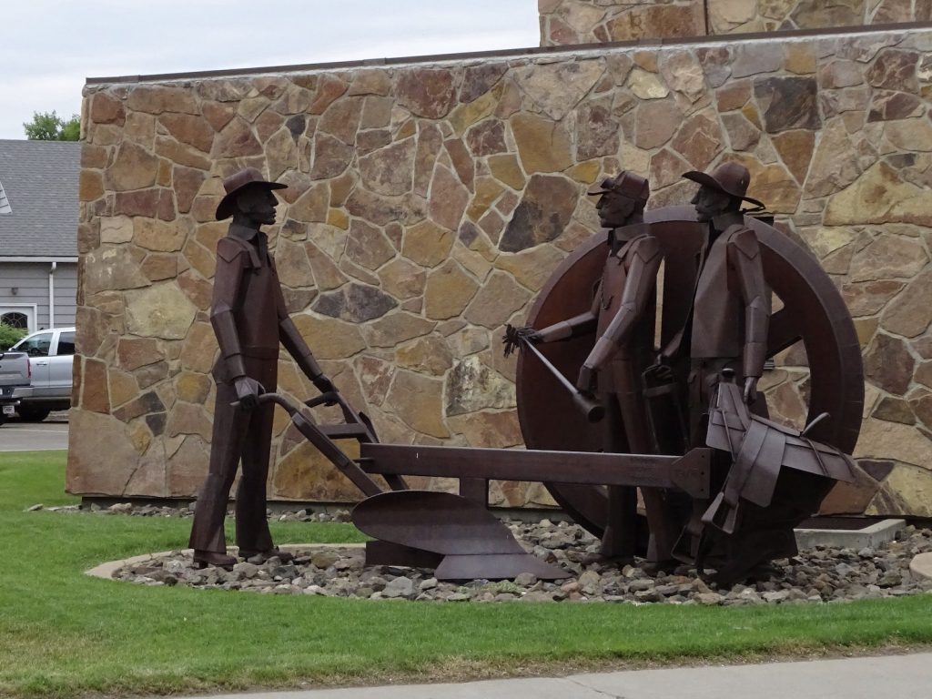
Downtown Havre Statue
Pic from Wikipedia
Wednesday started with more laundry and some bookkeeping work. Just before lunch time, we headed through Havre to Chinook, Montana. Along the way we saw a large herd of pronghorns hanging out with a herd of cows. Not fast enough with the camera, though. Our first stop was the Blaine County Museum to learn about the Bear Paw Battlefield. More on that below. After checking out the displays and watching the movie, we headed up the street to the Chinook Motor Inn for lunch at the Chinook Grill. Recommended by the lady at the museum (and she said there were really only two options), this place had the most varied menu I think I’ve ever seen…salads, burgers, sandwiches, soup, Chinese food, Japanese food, liver and onions…it was crazy. She specifically said the Chinese was good, so we both went for Kung Pao…his chicken and mine shrimp. She wasn’t wrong.
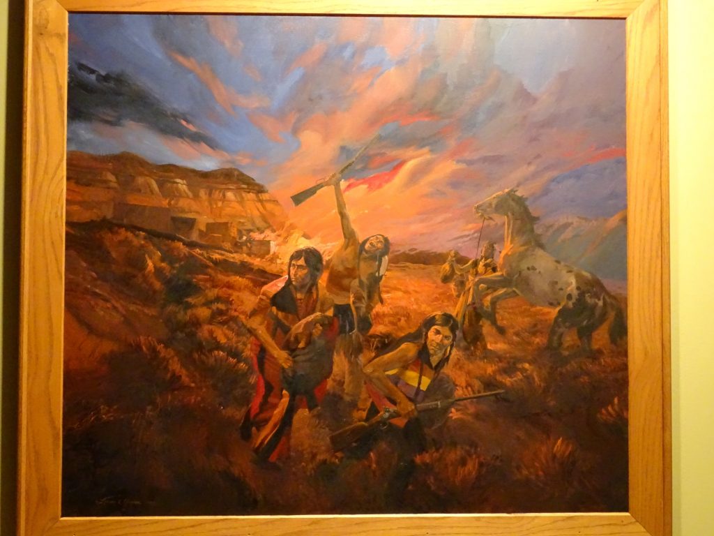
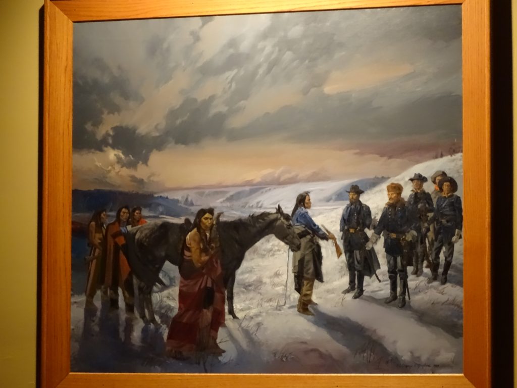
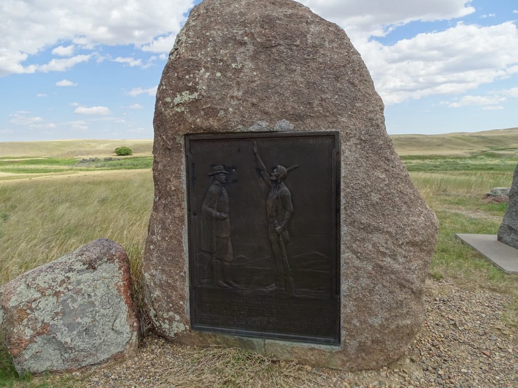
Angry Nez Perce Surrender
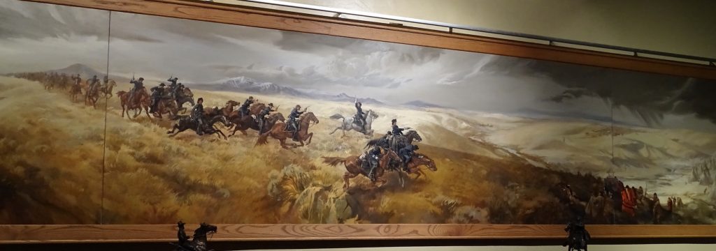
The Battle
In September, 1877, the US Army beat the Nez Perce into submission at what has become known as the Bear Paw Battlefield. But to start, lets go back a bit. Our first written encounter with the Nez Perce tribe was from Lewis and Clark, who spent more time among that tribe than any other along their path. They found them peaceful and agreeable hosts, and in fact, some credit them with saving their expedition from certain failure. In 1855, a treaty was signed with the Nez Perce giving them 7.5 million acres (which was about 40% less than their original tribal lands) in the area where Washington, Oregon, and Idaho meet. Before the ink was dry on that document, gold was discovered in several areas throughout the region, causing a mass influx of settlers, boom towns, and violence. The Nez Perce appealed to Congress to get them to honor the treaty, and in response, Congress took away 90% of their reservation land. WHAT??!! They did the right thing, and BOOM, land gone! Understandably, they were not happy. Unlike other tribes, the Nez Perce were not centrally governed. The community consisted of several self-sufficient bands, each with its own leadership. Government negotiators, however, never fully appreciated the autonomy and wanted to deal with one person who could speak for the tribe. When Hallalhotsoot assumed that role, Thunder Eyes declared the Nez Perce Nation defunct. The tribe quickly divided into “treaty” and “non-treaty” groups. When the 1863 treaty was signed, the Government, not fully understanding the situation, thought they had agreement with all Nez Perce. The “non-treaty” bands had no treaty and did not expect to be held to one. Conflict was inevitable.
In 1877, war broke out between the U.S. and several bands of the “non-treaty” Nez Perce. In mid-June, Chiefs Joseph, Ollokot, White Bird, Toohoolhoolzote, and Looking Glass headed north with about 250 warriors and 500 women and children to seek help from the Crows. They refused, so plan B was to cross into Canada and live with the Lakota Sioux under Sitting Bull. Immediately pursued by the U.S. Army, they had several run-ins along the way. In one of them, the Nez Perce stole food and supplies from the Army, and burned what they left behind. Believing they were well ahead of their pursuers, they stopped to rest on the banks of Snake Creek at the base of the Bears Paw Mountains. Only 40 miles from the Canadian border, the stop would prove to be a grievous mistake. They were not aware that another General was headed to intercept. The surprise attack came in the morning on September 30, and fighting continued until the afternoon of October 5, when after 1,170 miles, Chief Joseph surrendered. (During the siege, about 200, including Chief White Bird, managed to sneak out and make it to join the Lakota.) Generals Howard and Miles promised that they would be allowed to return to the reservation in Idaho, but General Sherman (of burning Atlanta fame), overruled them and sent the Nez Perce to Kansas. Chief Joseph later said he would not have surrendered if he had known. I’m unsure why he would trust them in the first place. On the second day of the battle, there was a meeting between General Miles and Chief Joseph, initiated by Miles under a flag of truce. When the talks did not go as Miles wanted, he took Chief Joseph prisoner. Under a FLAG OF TRUCE! The Nez Perce nabbed a young Lt. Lovell Jerome and exchanged him for Chief Joseph the next morning. In my research I found it interesting that the New North-West newspaper said of the Nez Perce: “Their warfare since they entered Montana has been almost universally marked so far by the highest characteristics recognized by civilized nations.” It is also interesting that, when they passed through Bismarck in the Dakota Territory on their way to Kansas, the tribe was welcomed by a majority of the citizens, who set out a lavish buffet for them and their troop escorts.
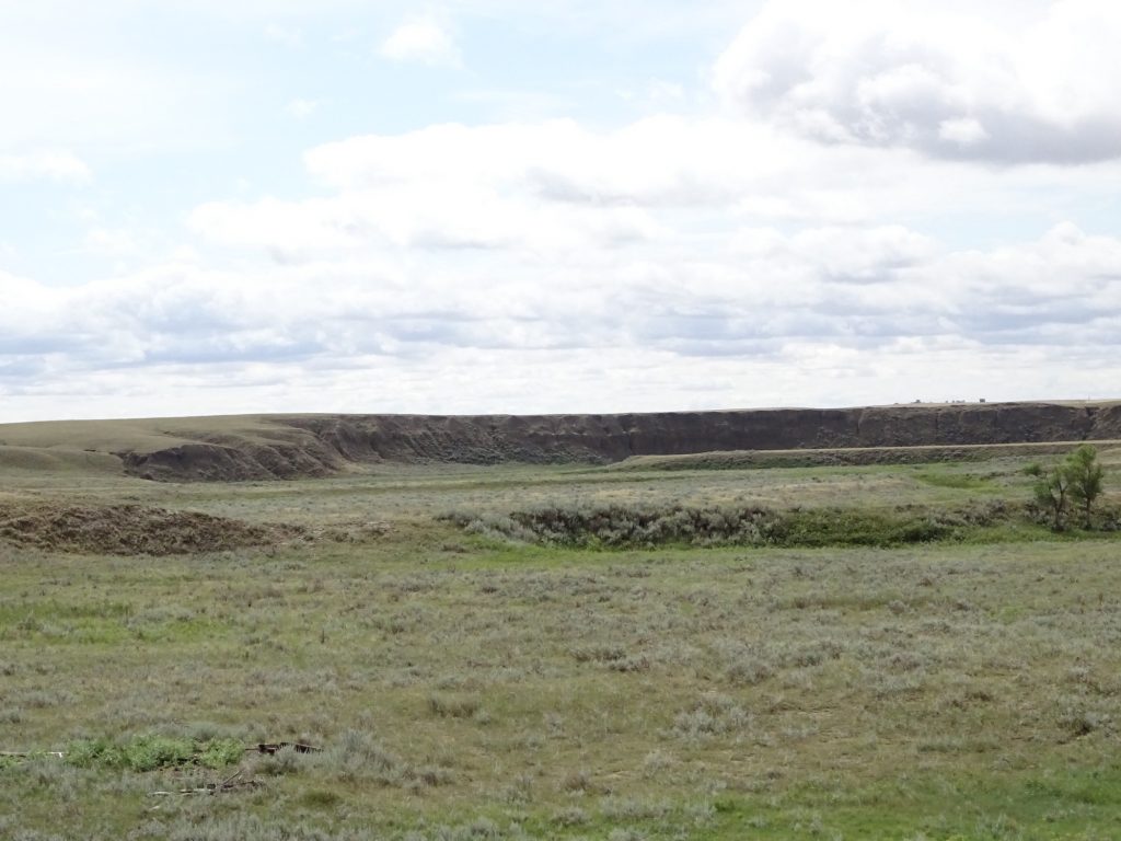
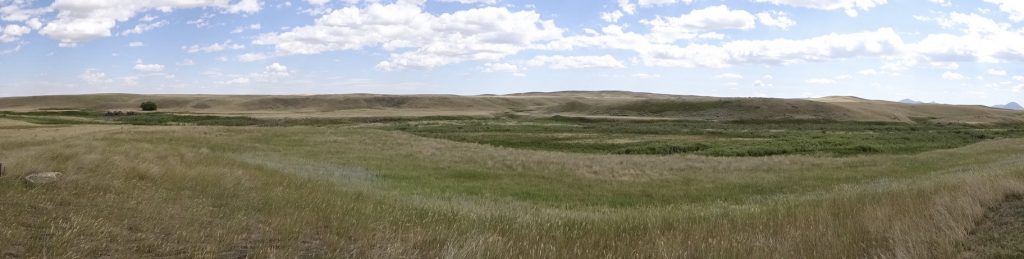
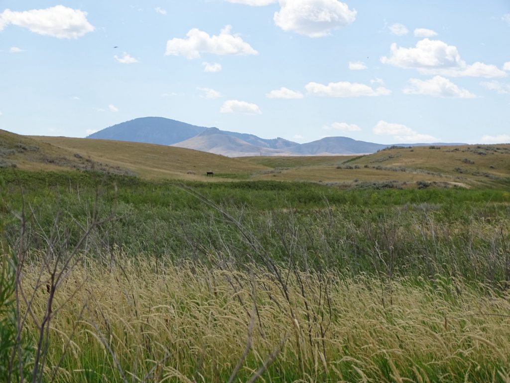
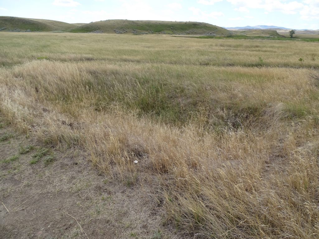
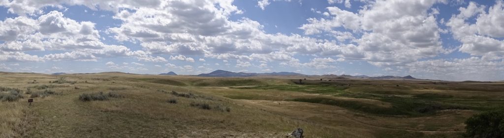
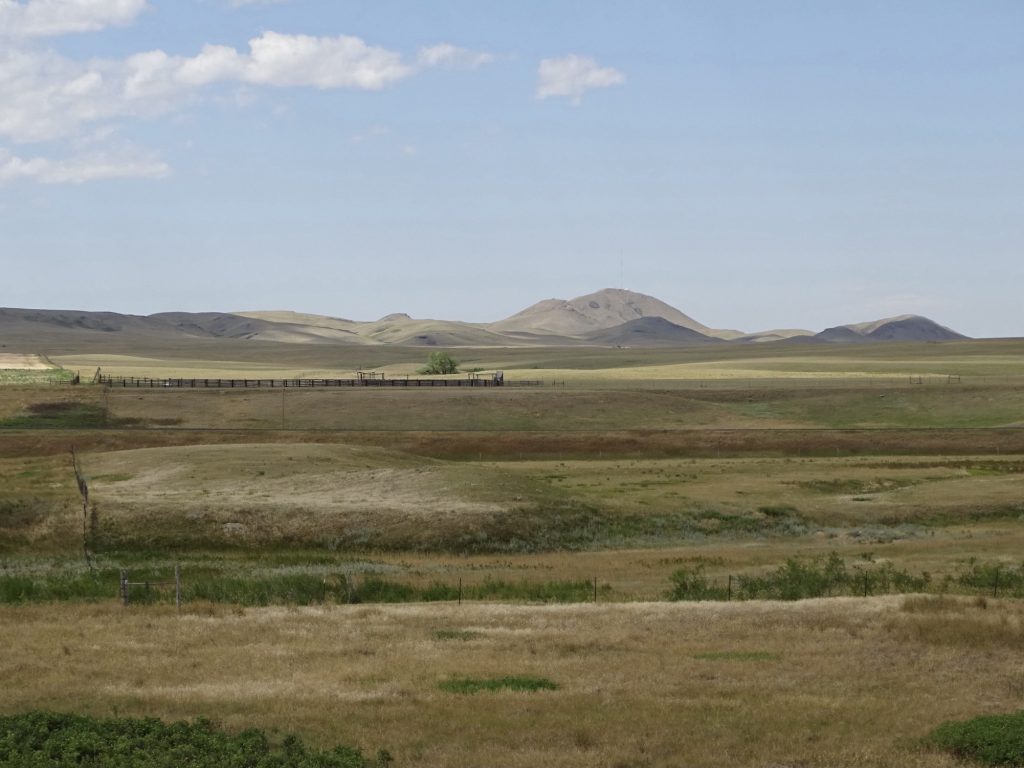
After lunch, we headed out to walk around the battlefield. The scenery is a combination of flat prairie, deep gulches, and mountains in the distance.
The Prairie is Criss-Crossed by Deep Gullies Bears Paw Mountains
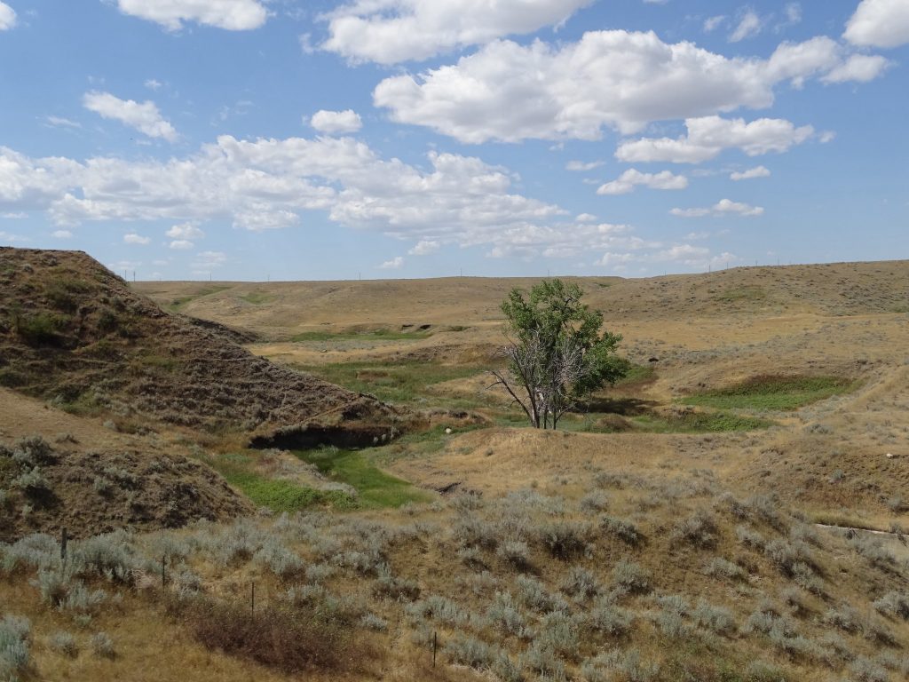
Just Beautiful
The Surrender

The Site is Fairly Unchanged
Site of… …the Battle
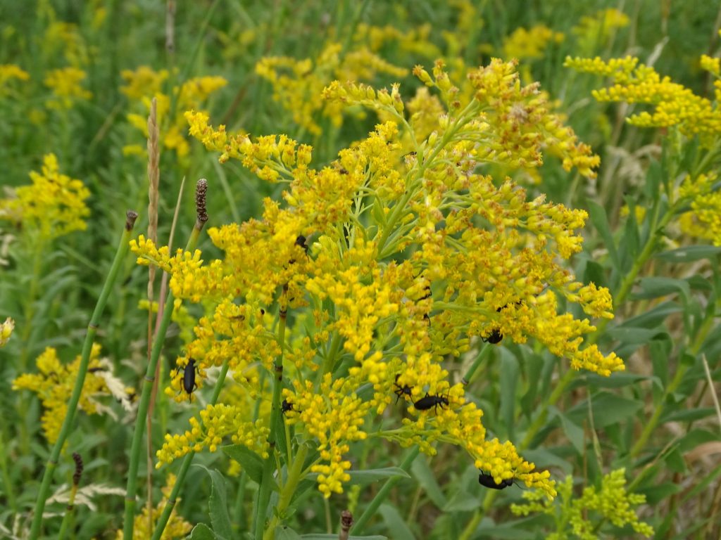
Tribute Giant Goldenrod
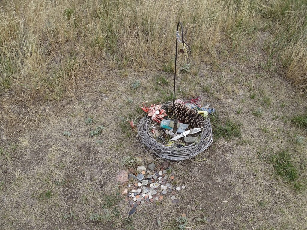
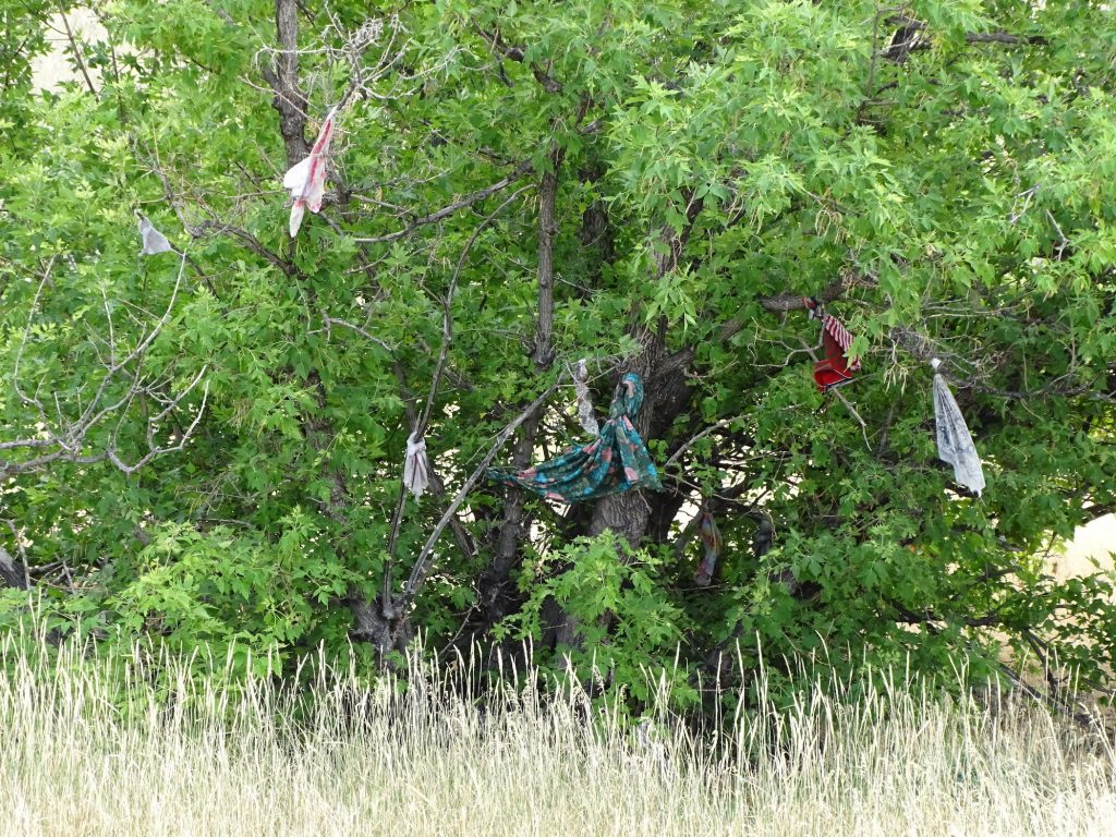
Pits Where Nez Perce Dug In Prayer Ties
Beautiful Place for a Terrible Battle
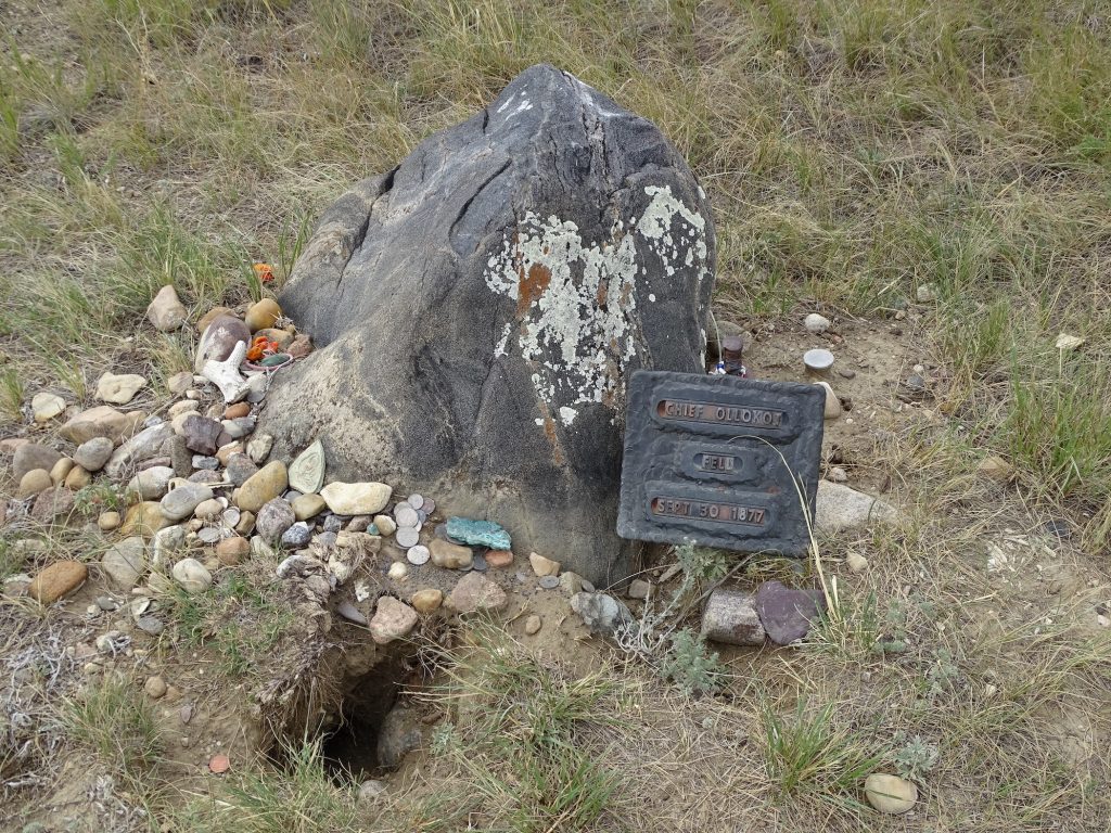
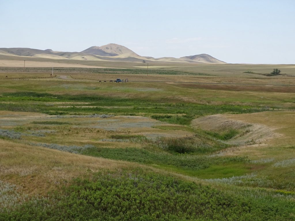
The Army’s Position Where Chief Ollokot Fell
The Nez Perce Were In the Foreground Trenches
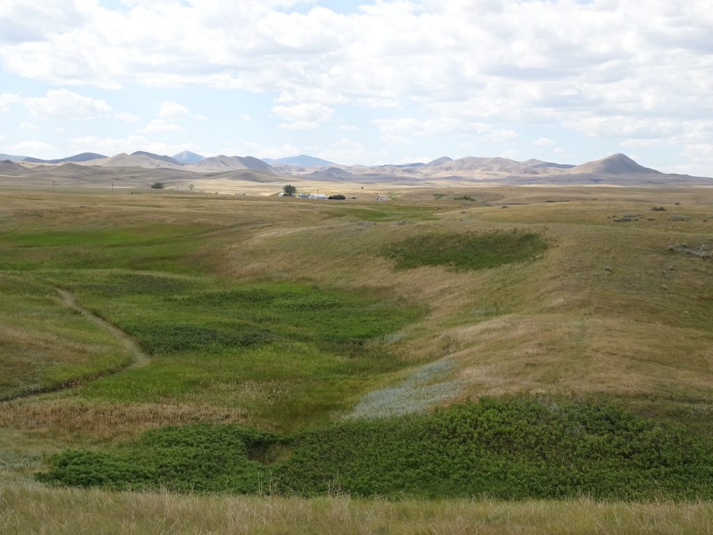
Nez Perce Encampment Indention is Site of Mass Army Grave
Soldiers Later Moved to Custer National Cemetery
After walking the trail and checking everything out, we headed back, stopping at the grocery store and the post office along the way. I also ran in at Verizon, but once again, they were packed to the gills. What the heck is going on with that?? Back at the trailer, we watched a little TV and a movie (Killing Reagan…pretty good). I also wrote a little bit before bed.
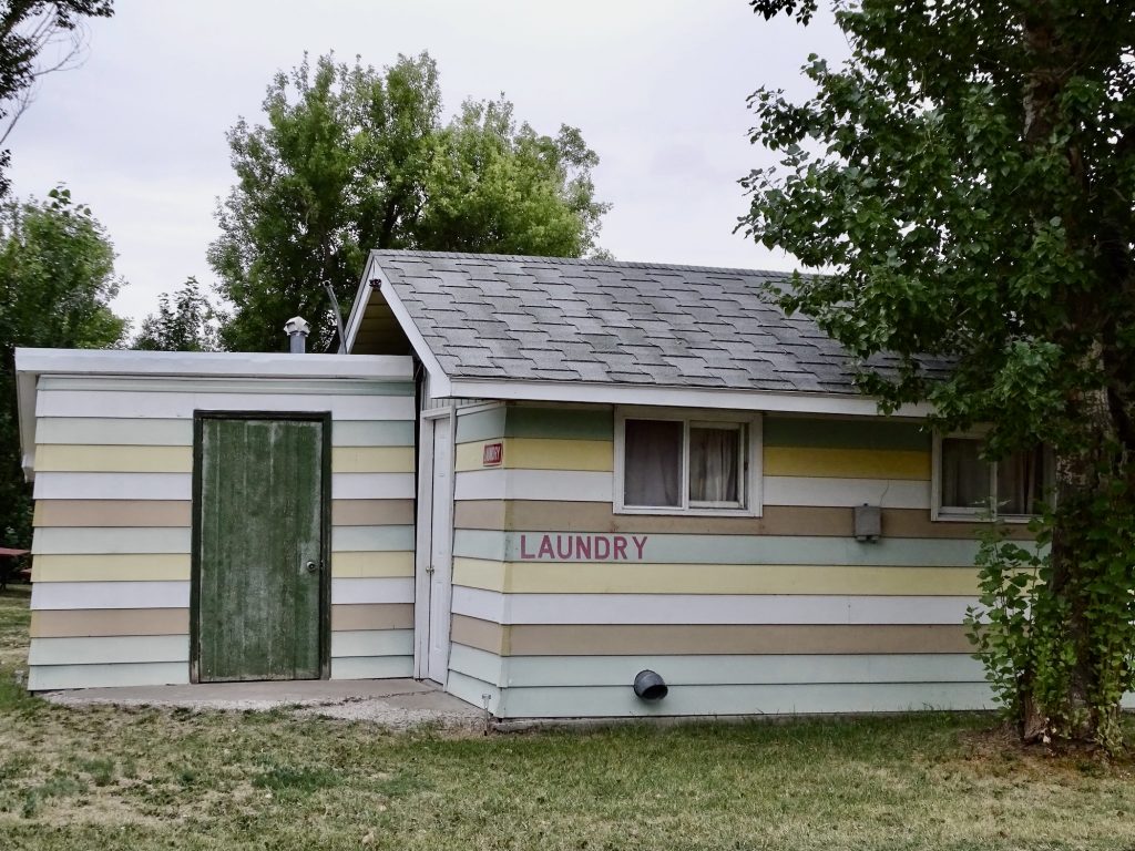
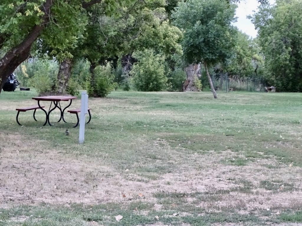
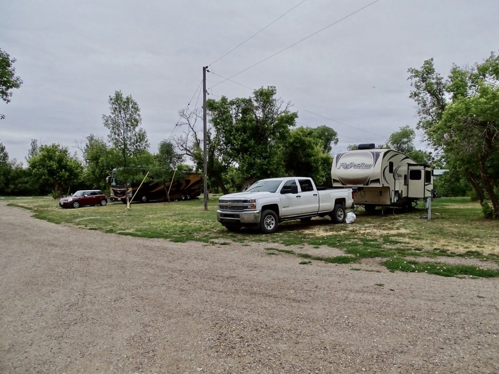
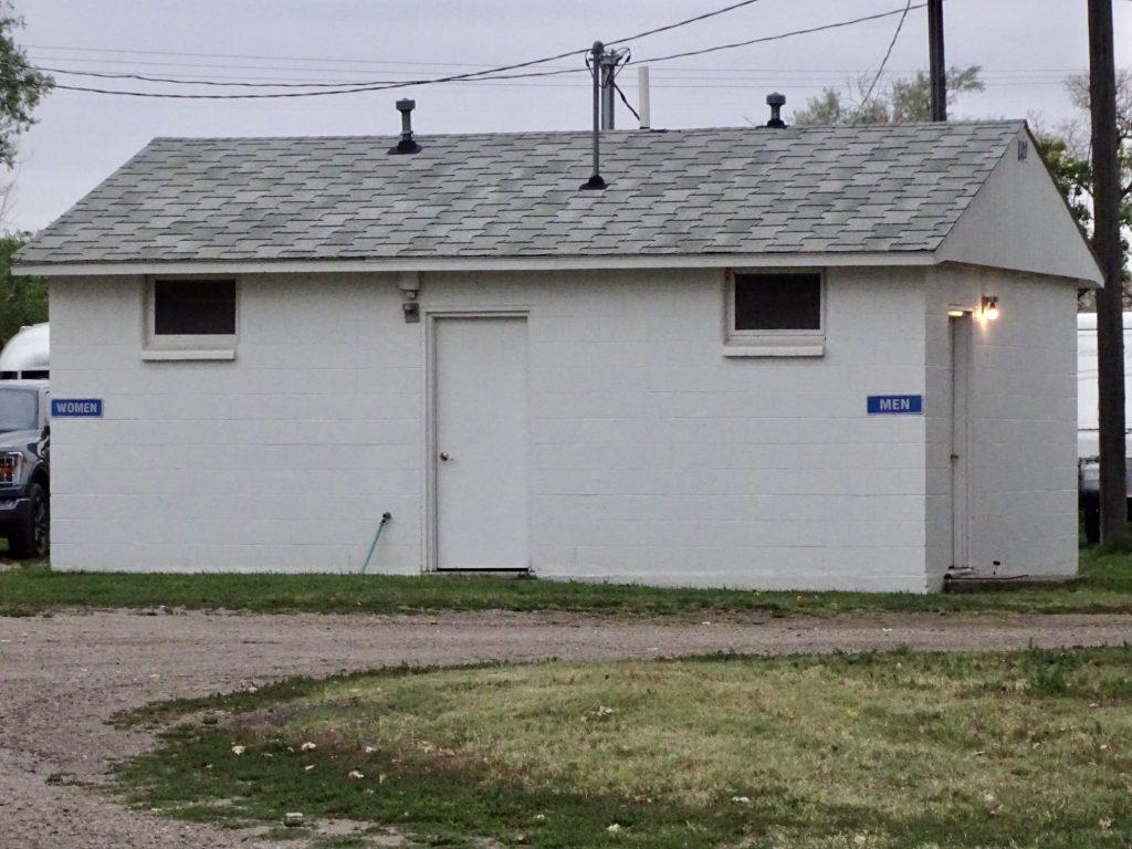
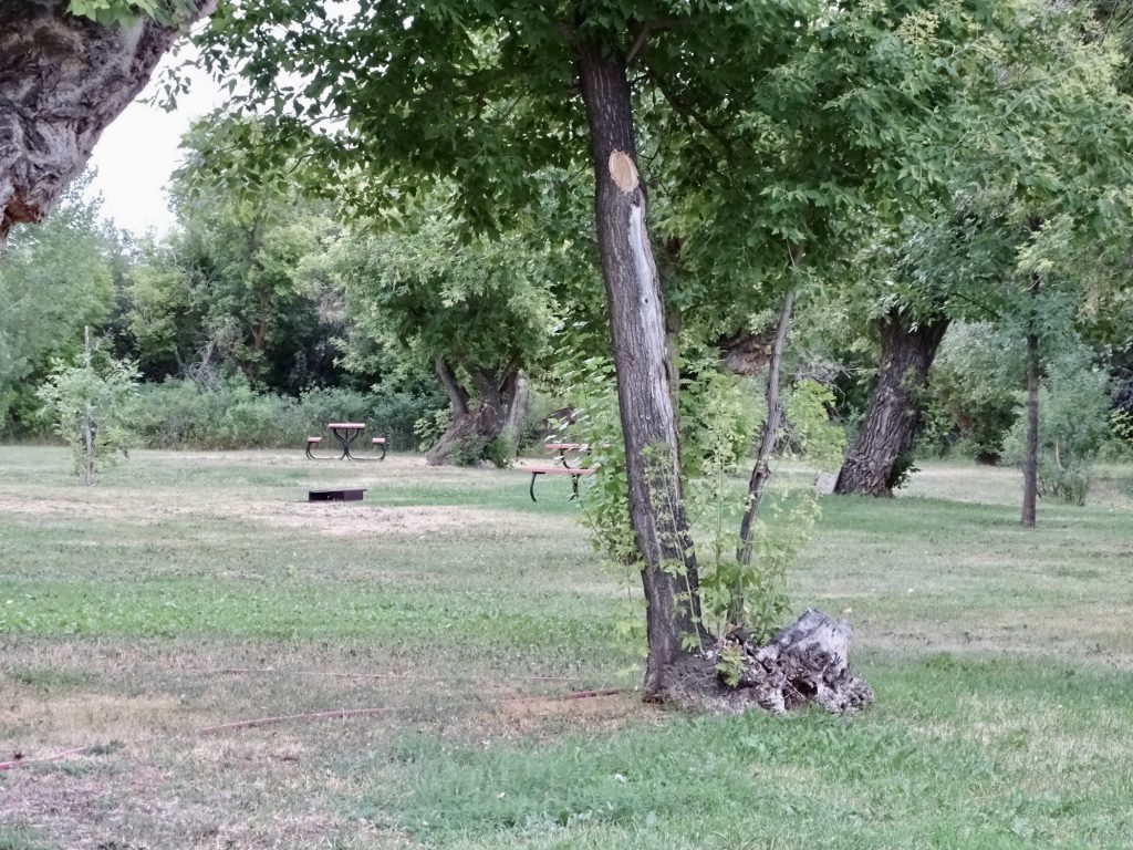
Evergreen Campground is a small, privately owned park just outside of Havre, Montana. The owners, Roger and Heather, have been there for more than 35 years and are very nice. He retired from the Montana Highway Patrol, and she reminded us quite a bit of MW’s cousin, Jim Shelton. The entrance is a short dirt road, back into a little hidden field. When you check in, they escort you to your site and wait to see if you need any help getting in. Definitely a full-service place. During the day you can hear some traffic noise from the main road, but it died down quickly after dark. Amenities include a nice laundry with four washers ($1.25-$1.50 each) and three dryers ($.25 for 12 minutes), a spotlessly clean bathhouse, free wifi, and a book exchange. (At first it appeared that the showers operated on quarters, but after a little trial and error, MW figured out that the water ran freely.) The little office is connected to the owners’ house, and they are almost always on site. (When Roger and I were talking books, he ran in and came back with a stack of the “Killing” books by Bill O’Reilly to tell me about.) They have a nice little collection of movies to rent for $1, too. There are 38 grass sites, some with 50-amp electric, water, plugs to connect you to their TV antenna, and picnic tables and others for tents with picnic tables, fire rings, and access to water nearby. Our site (22) was very nice and easy to get into. Because of trees and the telephone pole and guy-wires, it was not too close to the ones on either side of us. We will definitely be back if in the area. For this stay in August 2021 we paid $126.00 for three nights.
Nice Laundry
Electric & Water Site Our Site (22)
Bathhouse Tent Sites
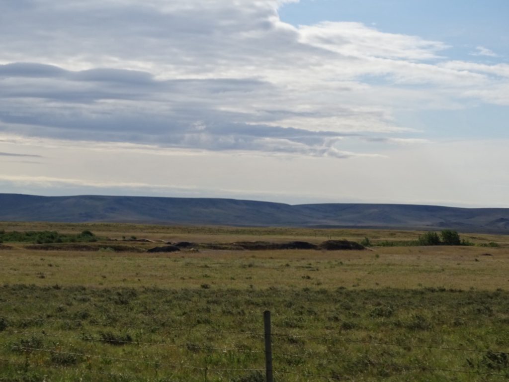
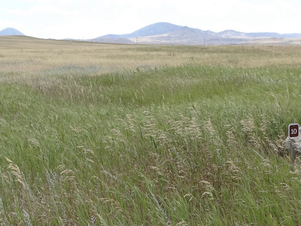
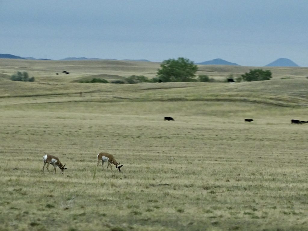
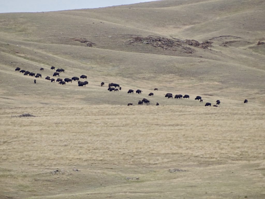
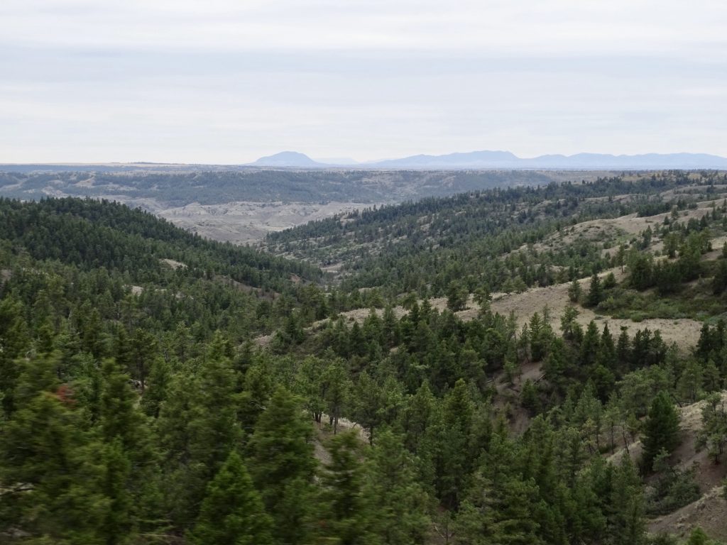
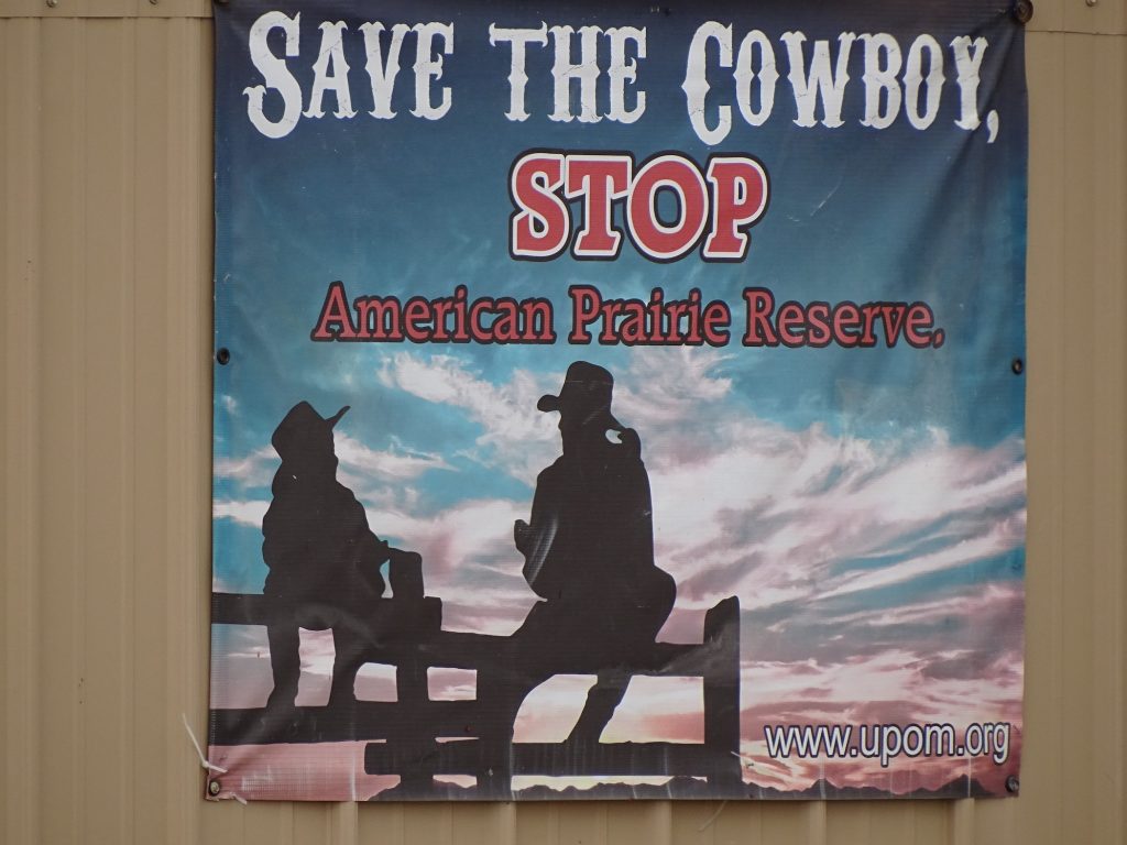
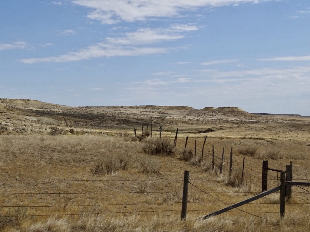
Thursday we were on the road by about 7:15 AM, headed east on US-2. The temp was 70ish when we left, but later would drop into the low 60s. There were quite a few pronghorns in the same field from the day before as we left Havre. Just past, Harlem, Montana, we entered the Fort Belknap Indian Reservation and turned south onto MT-66. We passed a bald eagle surveying a field on top of a telephone pole (sorry, no pic) and saw a nice-sized herd of buffalo, too. Eagles are so beautiful and HUGE! The landscape is mostly rolling pasture, with the occasional buttes popping up and mountains in the distance…Bears Paw to the west, Three Buttes just west of MT-66, and the Little Rockies to the south and east. As we climbed into the mountains, temps dropped into the upper 50s, and we were suddenly in scattered pines with forests further up on the hillsides. South of Landusky, we turned right on US-191. We crossed the Missouri River and climbed through high mountain desert, finally coming out in grass fields again. At MT-200, we turned east again and found lunch in the tiny town of Winnett at the Winnett Bar & Grill. It was basically a bar with a few tables around and a typical diner menu. The special was homemade lasagna, though, so we both went for that. Pretty darned good, too! We noticed a lot of signs against the American Prairie Reserve, so I looked it up. Apparently, the government is buying up land in the area in an effort to “preserve the prairie”. I’m not sure why they feel the need to save something that truly doesn’t appear to be endangered. Having spent quite a bit of time in Montana, Wyoming, Idaho, North Dakota, South Dakota, and Nebraska, I can say that there are millions of miles of prairie that is still fairly open and in no danger of development. In any case, the ranchers feel that the Reserve is adding the cowboy and their way of life to the endangered list. My question would be, when this country is in debt up to our eyeballs, do we really need to be spending money on a fake “Reserve”? EDIT: It isn’t the government, but a nonprofit buying the land. Sorry I missed that in the original research.
Pronghorns American Buffalo or Bison, If You Prefer
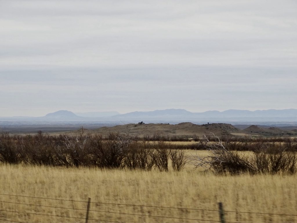
Flat With Occasional Hills Beautiful Drive
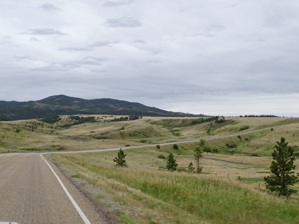
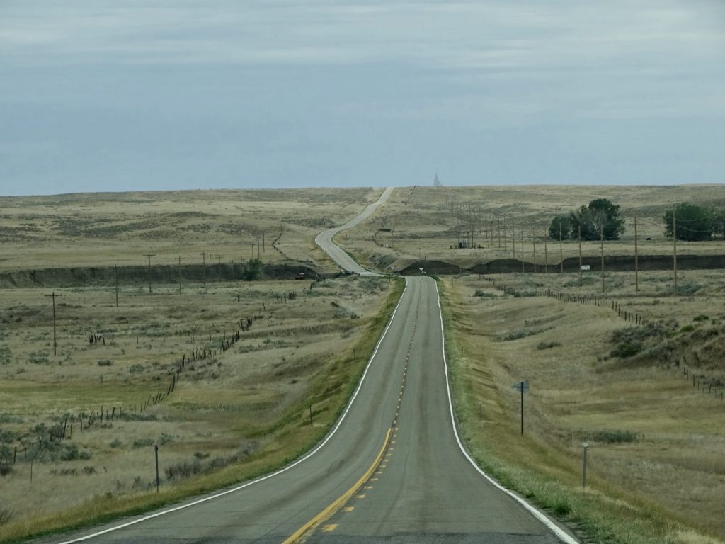
Coming Into the Mountains The Long Road
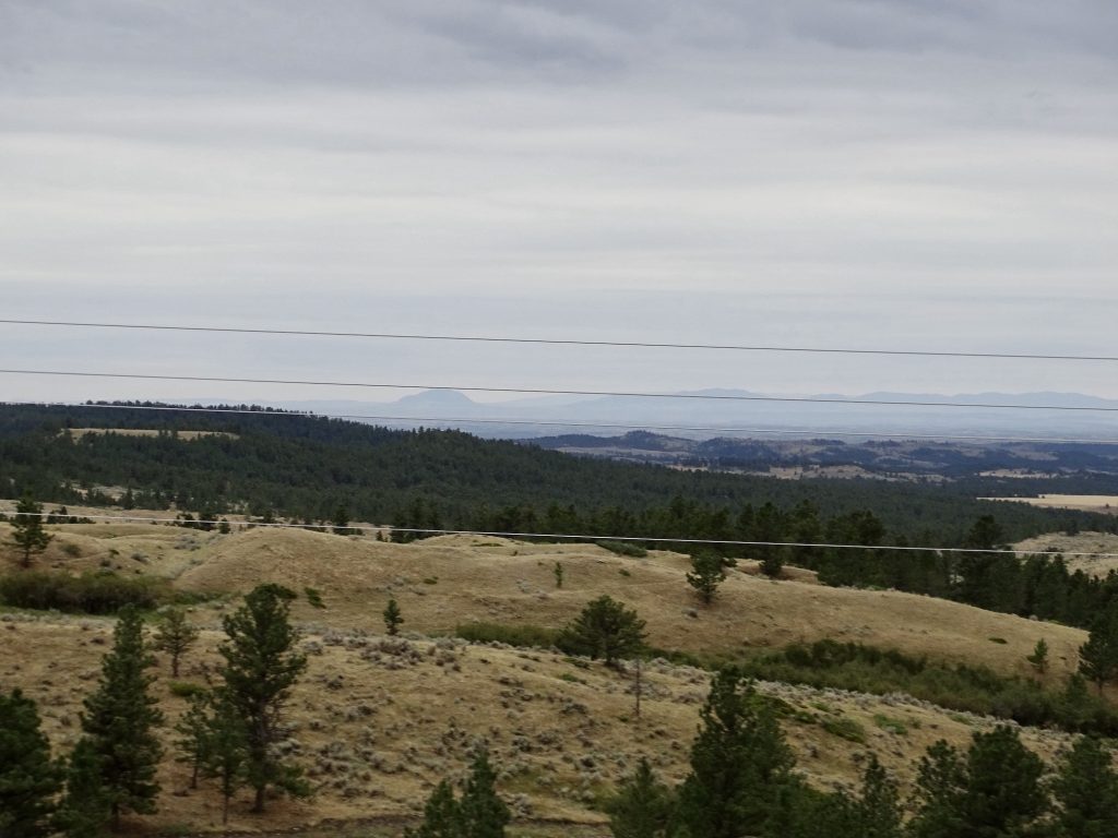
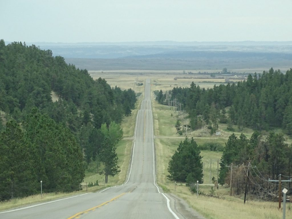
More Mountains on the Horizon Evergreen Hillsides
The Long and Winding Road It Didn’t Lead to Any Doors, Though
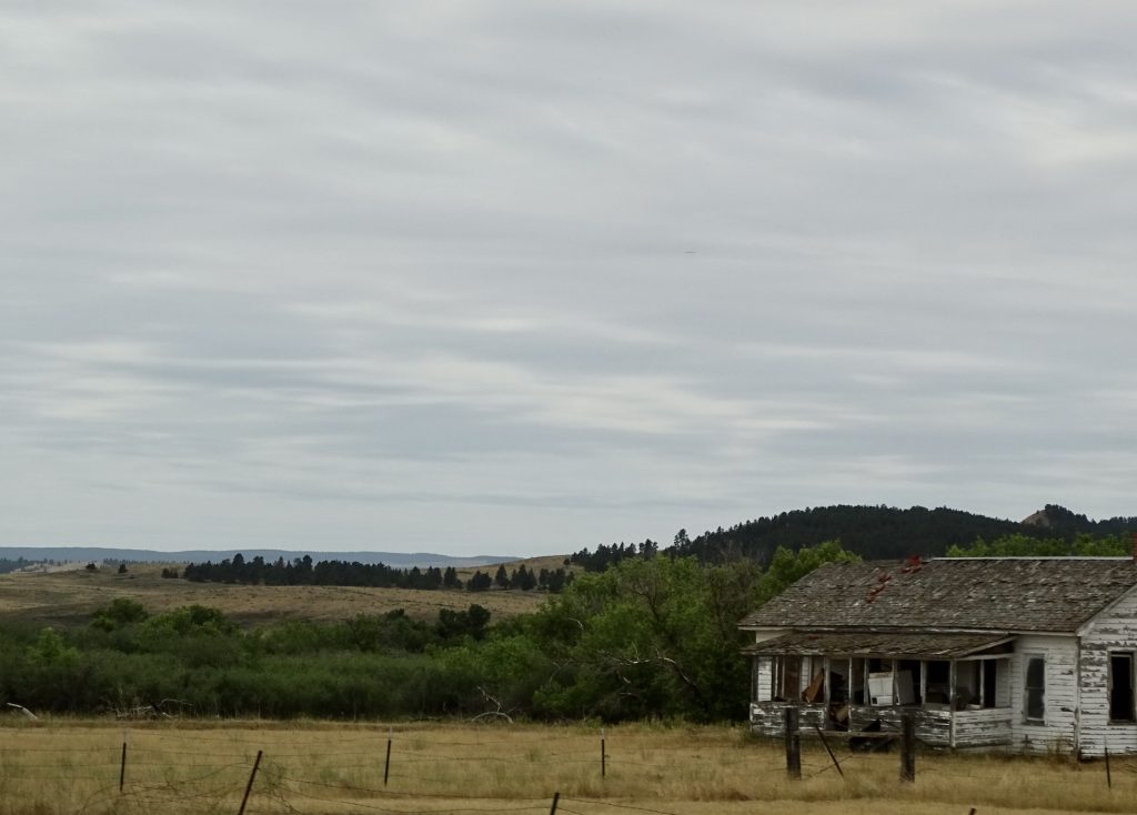
An Isolated Life
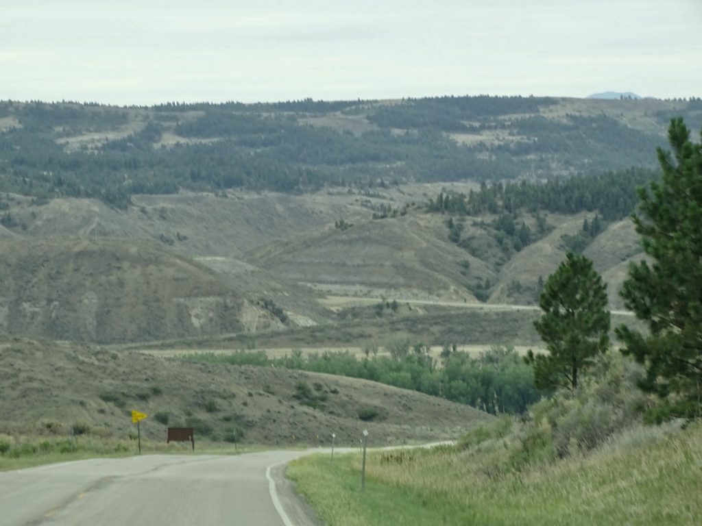
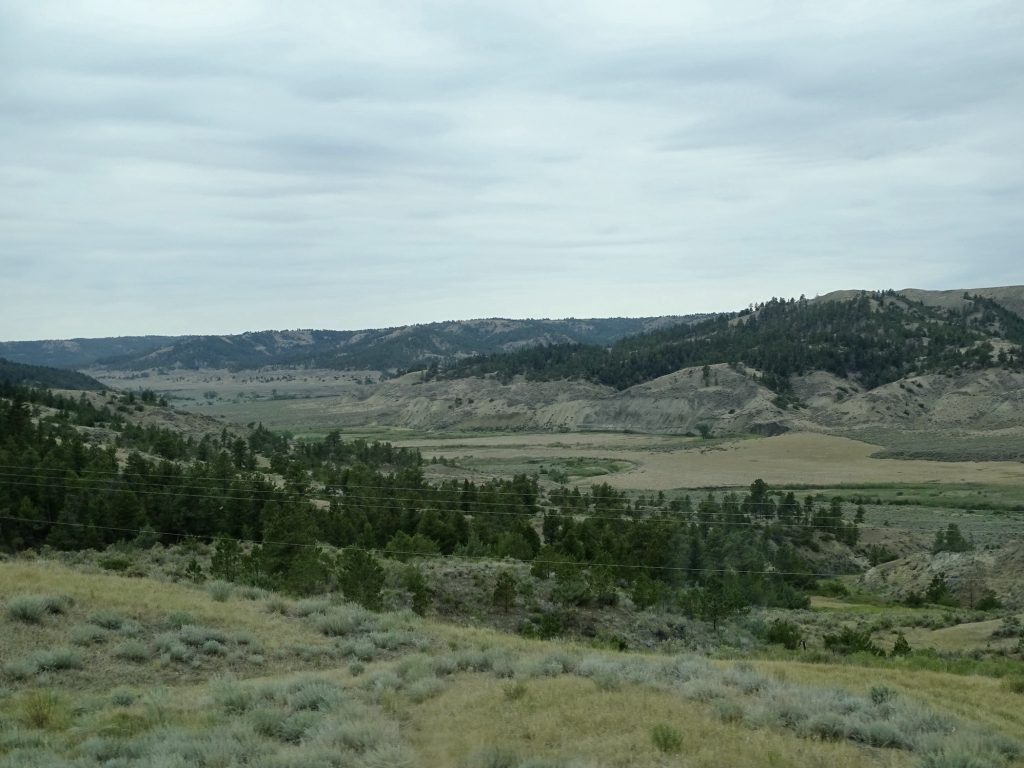
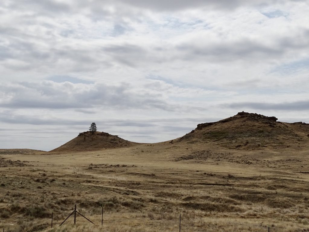
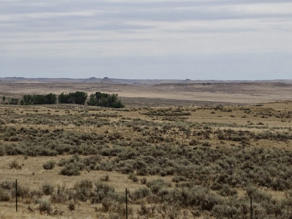
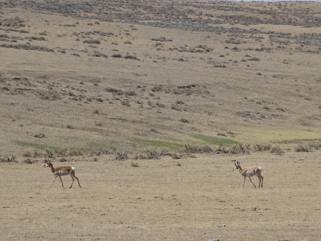
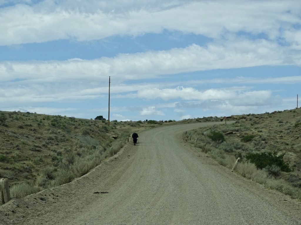
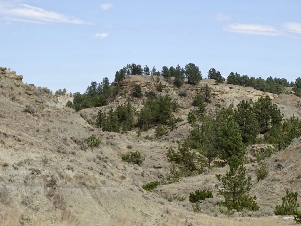
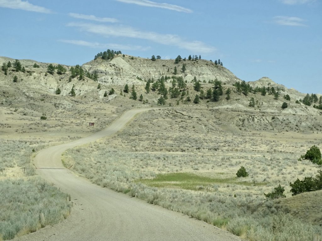
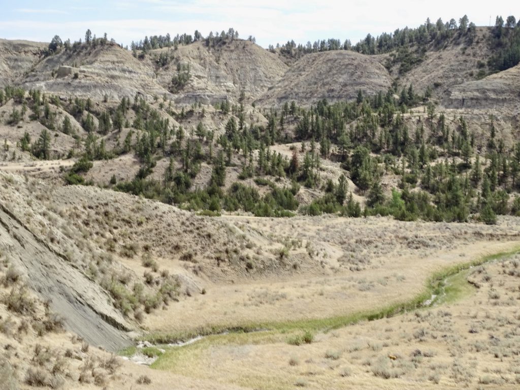
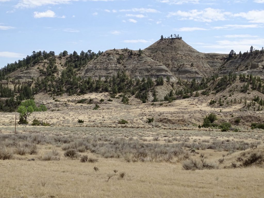
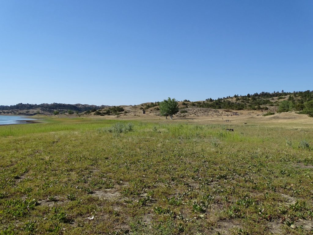
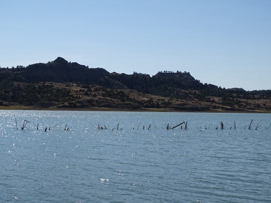
After lunch, we were back on the road, and it sometimes seemed to go on forever. Again we were in mostly open prairie with the occasional buttes in the distance. At Jordan, we turned north on MT-543. We knew we would be on about 25 miles of dirt road to get to our campground. What we didn’t know is that the dirt road would be the most wash-boarded road we’ve ever been on. It was HORRIBLE! At times we were able to reach 35 mph, but then would hit a particularly rough spot and had to slow to a crawl. Once when rounding a bend, we both thought the whole rig was going to vibrate right off of the road! We did pass quite a few pronghorns and a lot of open range cattle. (One mama and calf kept running straight down the edge of the road instead of cutting off into the field. That baby was scared to death! There was another seriously pregnant one that went bellowing off into the high grass.) As we neared our destination, the Missouri Breaks landscape was rough and steep and almost looked like the North Dakota Badlands, but not quite as colorful. Then Fort Peck Lake came into view, and the combination was beautiful. We made it to our home for the next few days, Hell Creek State Park. We are pretty sure the road in is why they call it Hell. Petunia’s insides had been bounced around a LOT, and there was stuff everywhere when we opened the door. MW said it looked like the inside of a snow globe. LOL. Thankfully, nothing was really broken, or so we thought.
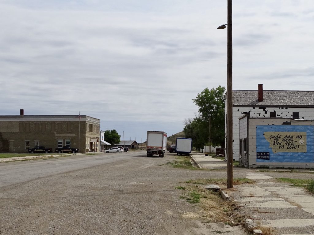
Winnett, Montana
The General Store and Bar are Behind MeBeautiful Prairie

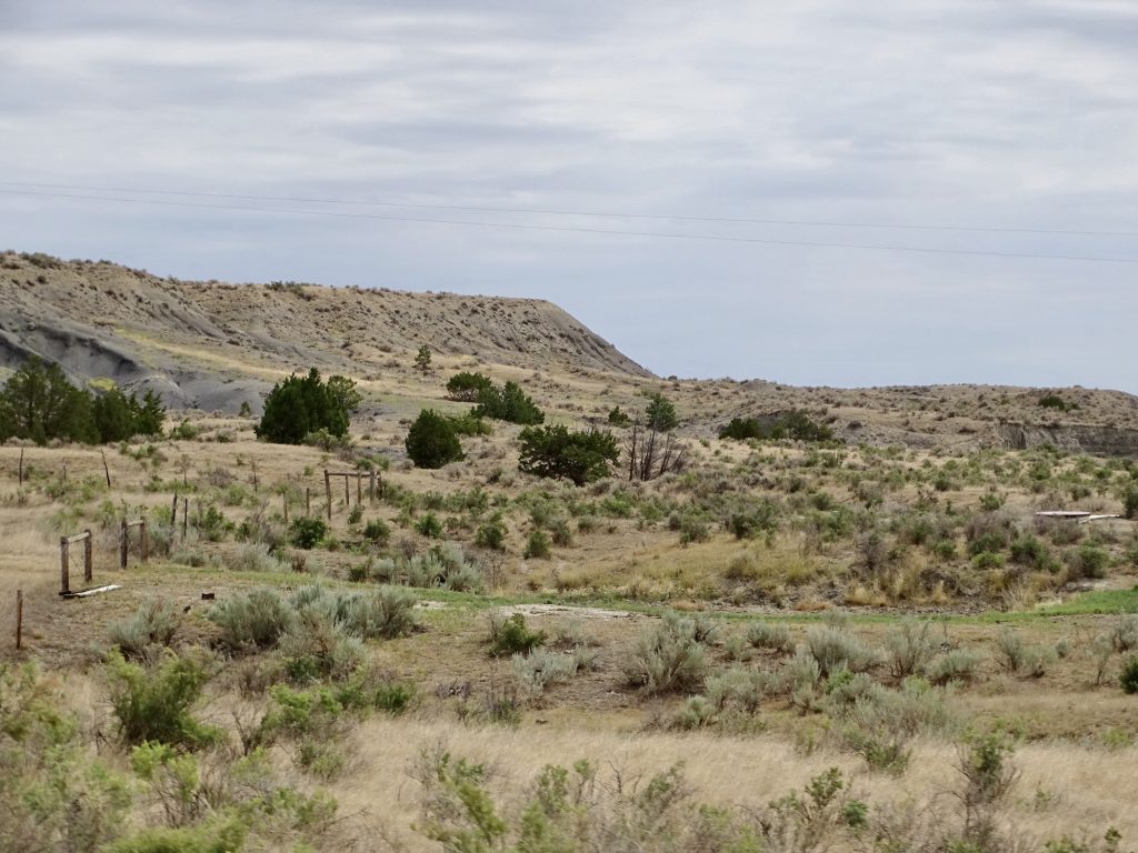
The Road is Still Going High Desert Look
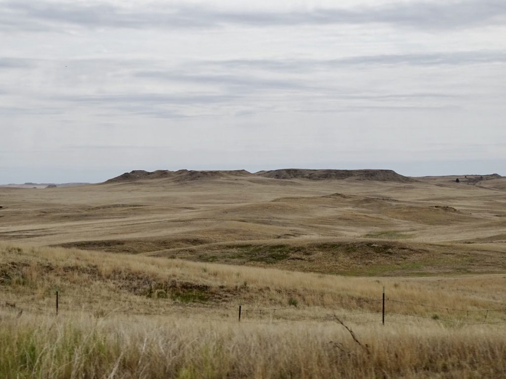
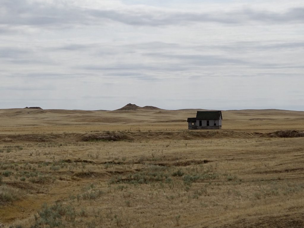
Buttes The Desolate Schoolhouse
Some Hints of What’s to Come A Lot of Dirt and Sagebrush
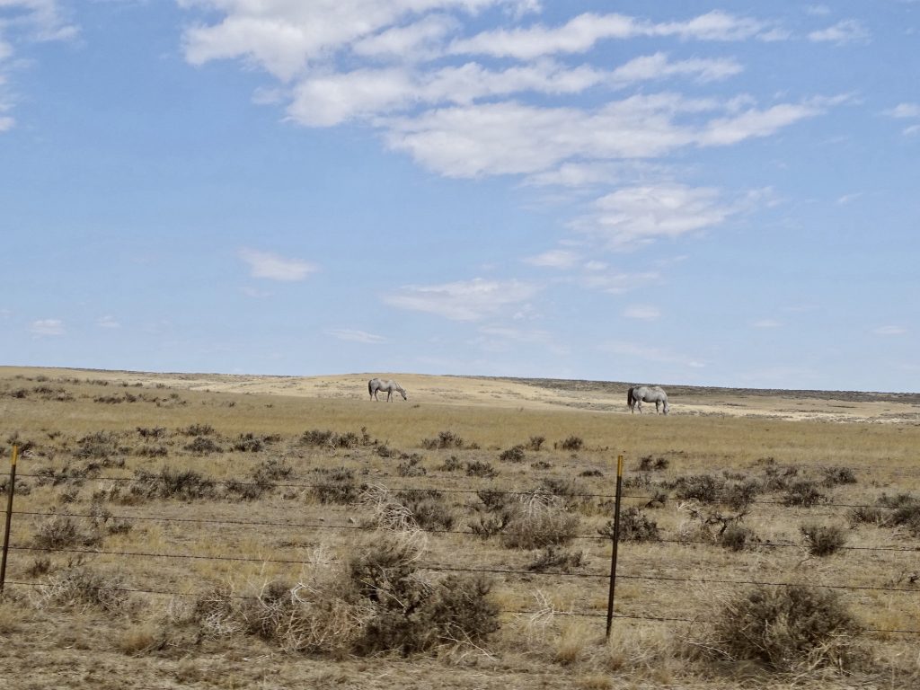
Pronghorns On the Hell Road
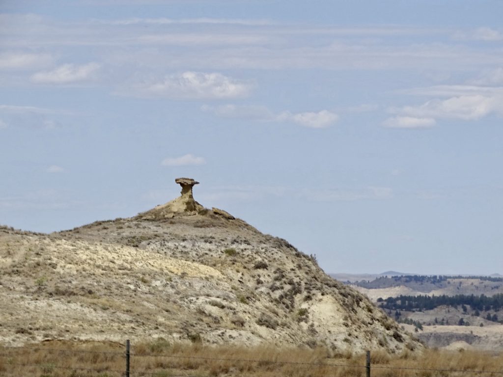
Horses Mountain Top Mushroom
The Hell Road Look at that Sky
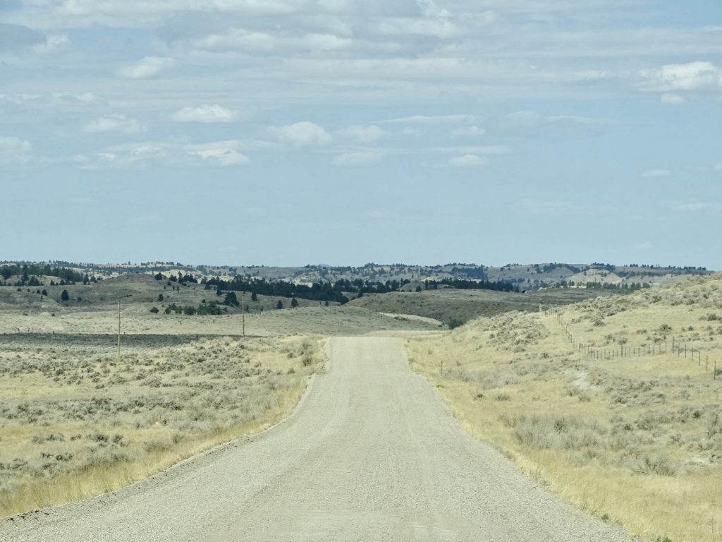
Moo…ooove More Hills
Beautiful But… …Still with the Washboard
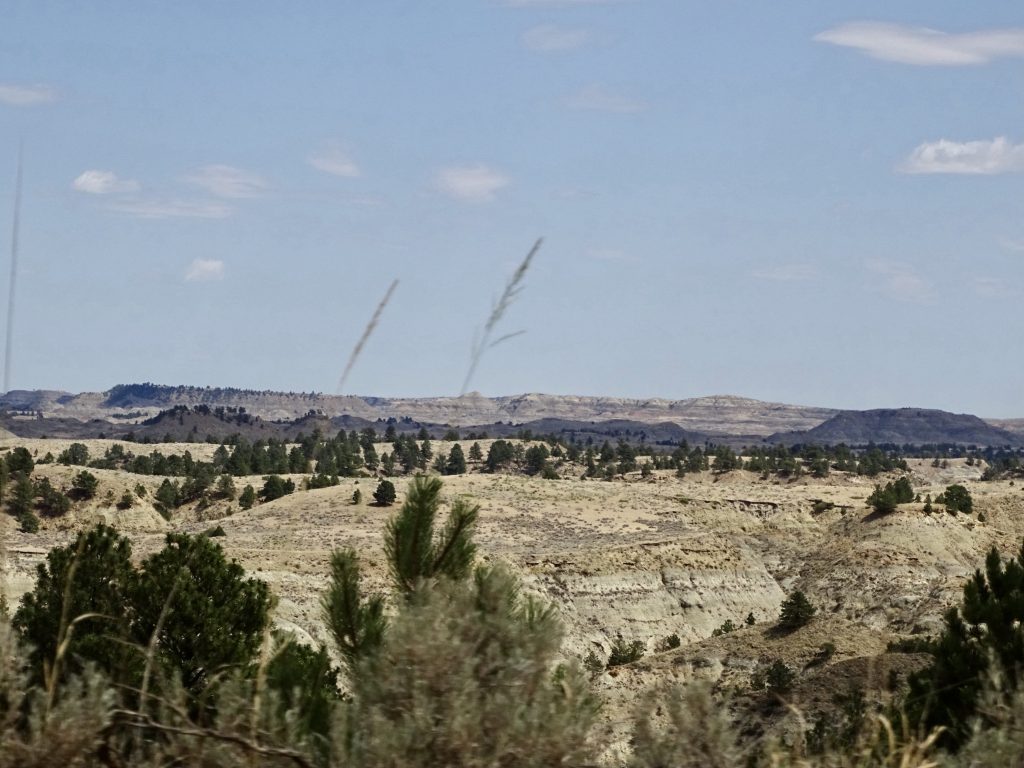
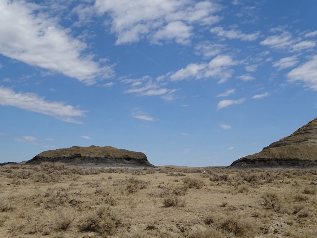
Starting to Look Like… …the North Dakota Badlands
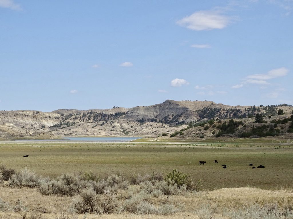
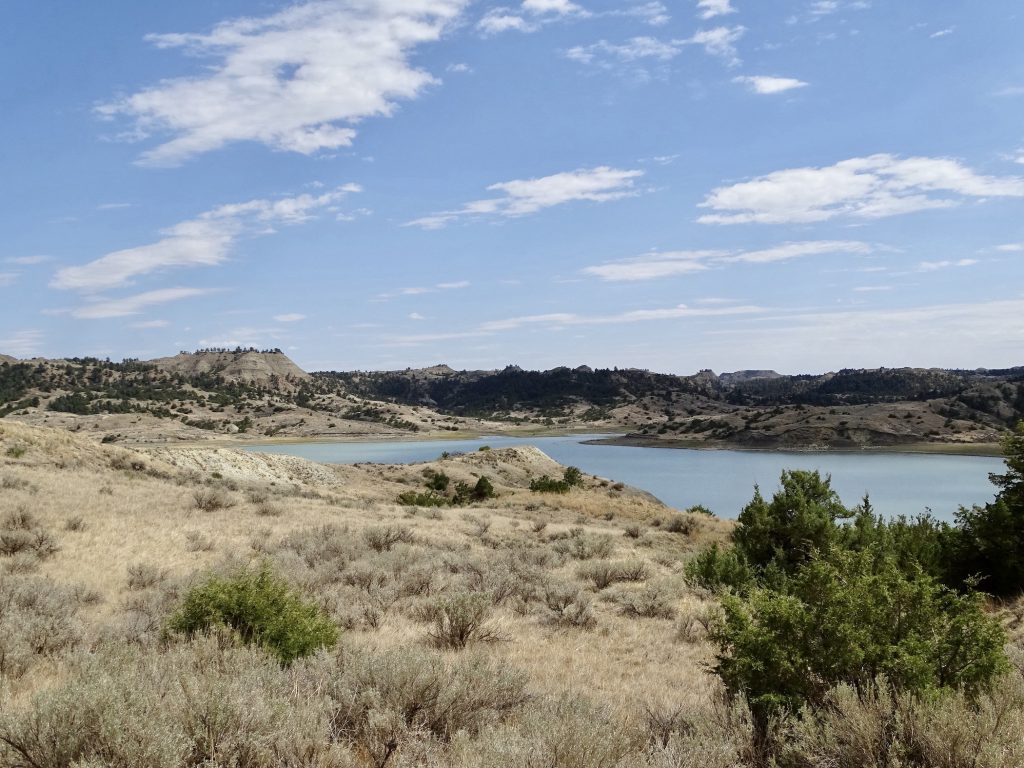
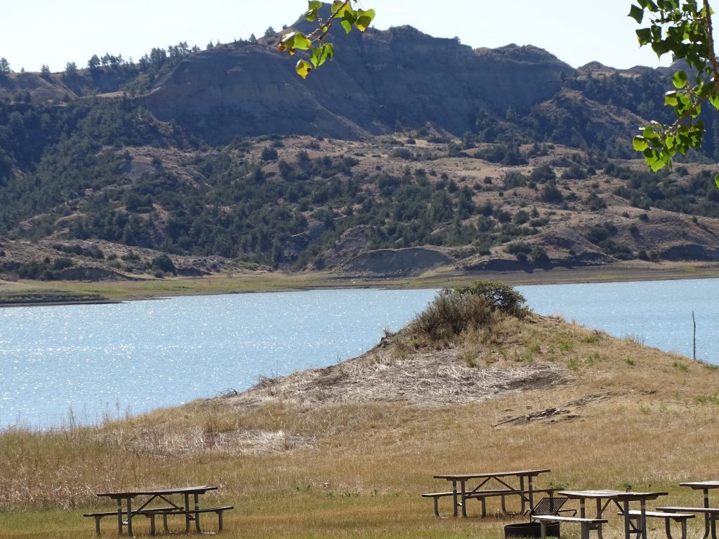
Fort Peck Lake Bed – Water is Pretty Low Fort Peck Lake
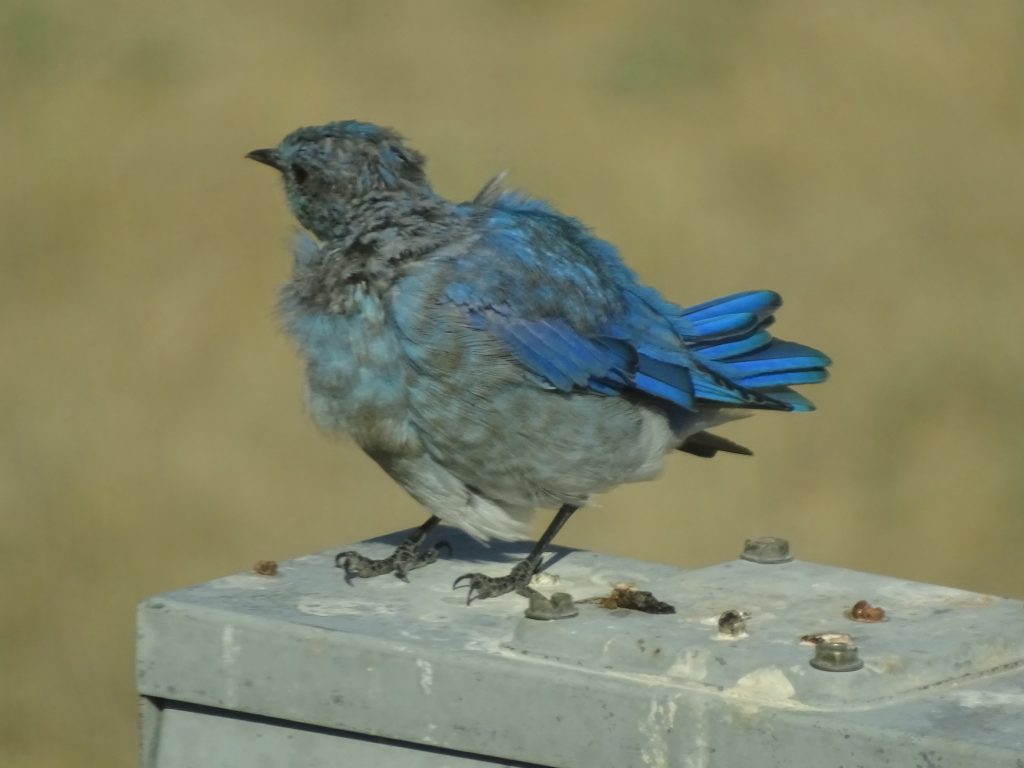
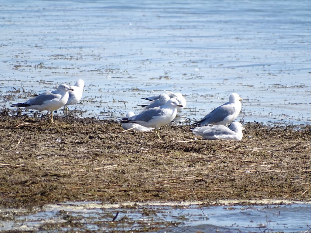
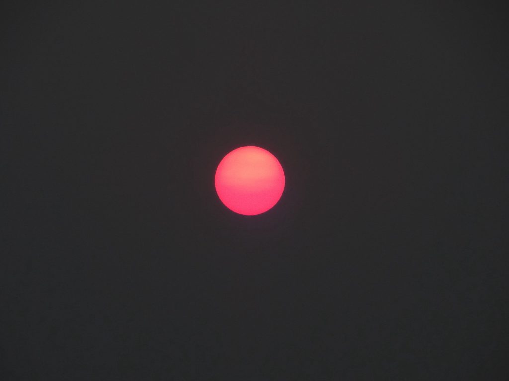
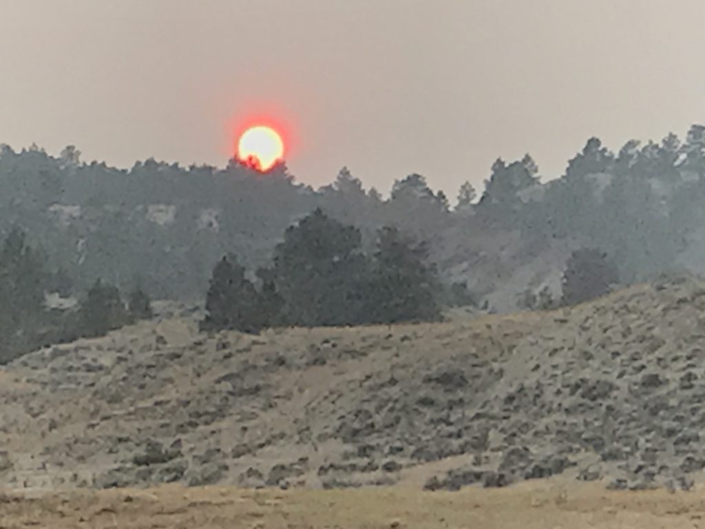
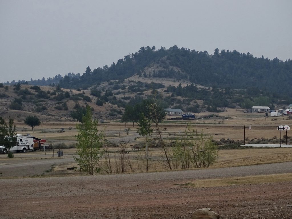
Friday, Saturday, and Sunday were all very similar. Since the road is so bad, we opted to only drive it on the way out. That, and the return of really hot weather, left us with little to do. There was ZERO cell signal, but a marina next door had an open wifi network and a tiny store. We walked around the park to get pictures on Friday. On Saturday, I cooked breakfast while it was cooler in the morning. Sunday morning we awoke to lots of smoke that we could actually smell. Turns out it was from a fire up in Canada a long way away. It is amazing how far the smoke travels. All three days I went up to the marina to check messages and do a little work/writing. On Saturday I met two brothers, Ryder and Colton, who were camping near us. Colton was about 5 years old, and once he started talking, he had a lot to say. He was adorable. Then on Sunday, the guy that works in the store had his 4-year-old son with him. I said I was looking for ice cream, and the kid jumped up to open the freezer for me. He then pointed out the “black” ice creams, the “white” ice creams, and the orange and grape popsicles. I asked him what was his favorite, and surreptitiously asked his Dad if he could have one. He was pretty excited when I paid for both and handed him one. He followed behind me and thanked me out the door. Other than that, we sat outside in the mornings watching the birds and deer, did a lot of reading, and watched some movies. We were both dreading the drive out, but really looking forward to going.
Wind Blown Mountain Bluebird Ring-Billed Gulls
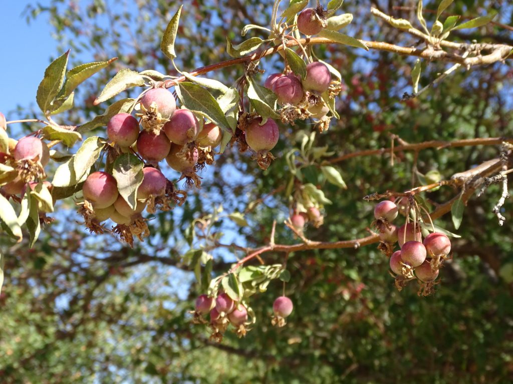
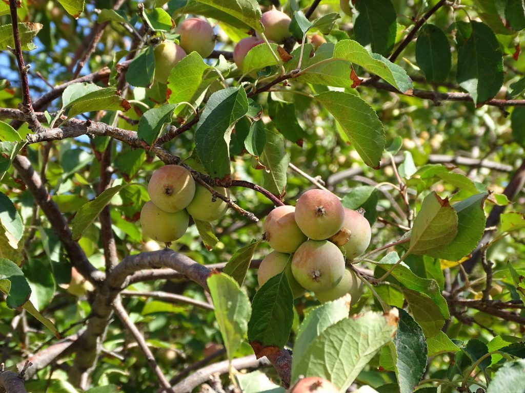
Maybe… …Crabapples?
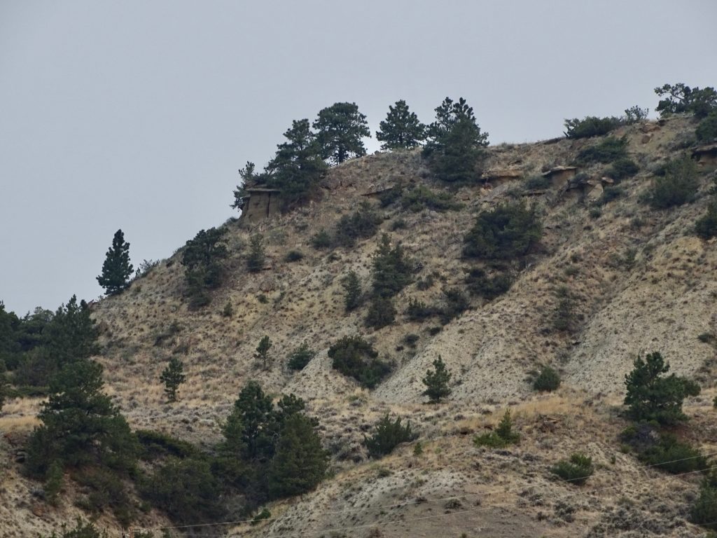
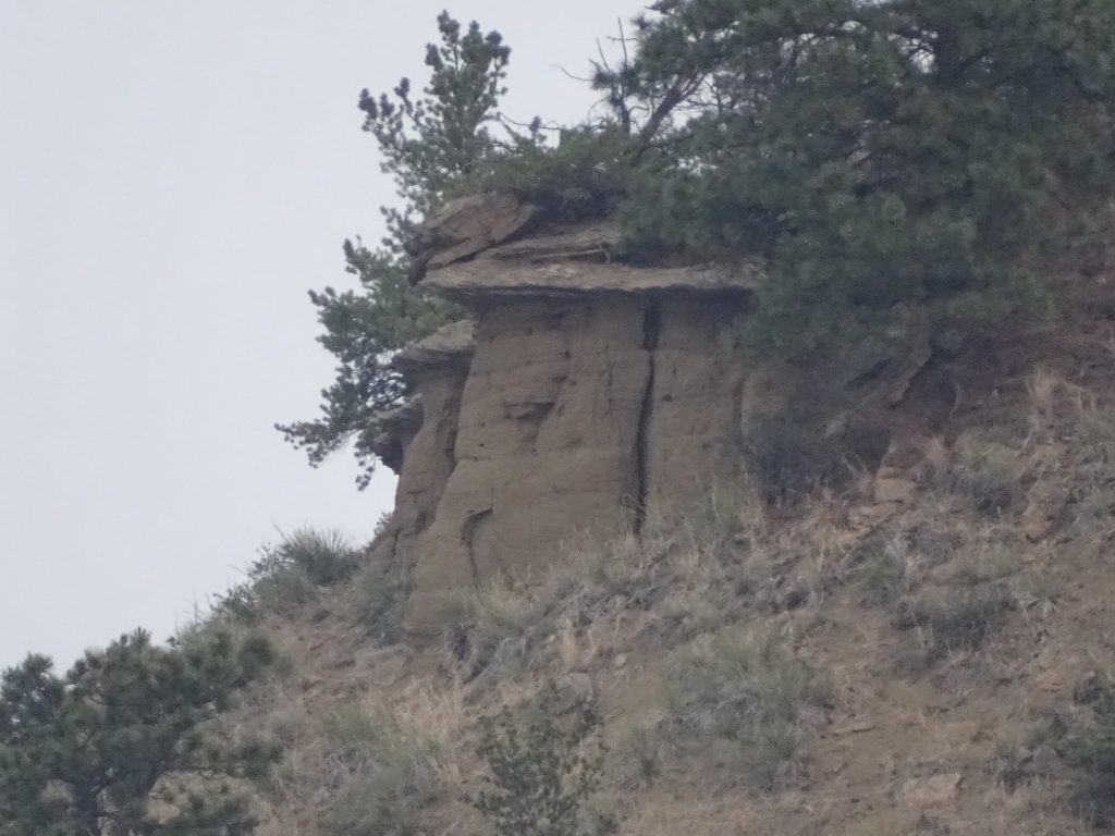
See the Building? What It Really Is
The Smoke Turned… …the Sun Red
Oh, almost forgot the worst part…somewhere along the way on the Hell road, we lost our spare tire. It normally hangs on a steel cable under the rear end of the trailer, wound up into the underbelly. MW was checking the gas line for the outdoor kitchen when he noticed it was missing. I thought about driving out the road to look for it, but it had already been a couple of days, so we doubted it was still there. Plus, it might have happened before, since MW hadn’t really checked it in a few weeks. It was a brand new tire AND wheel, though. Ugh!
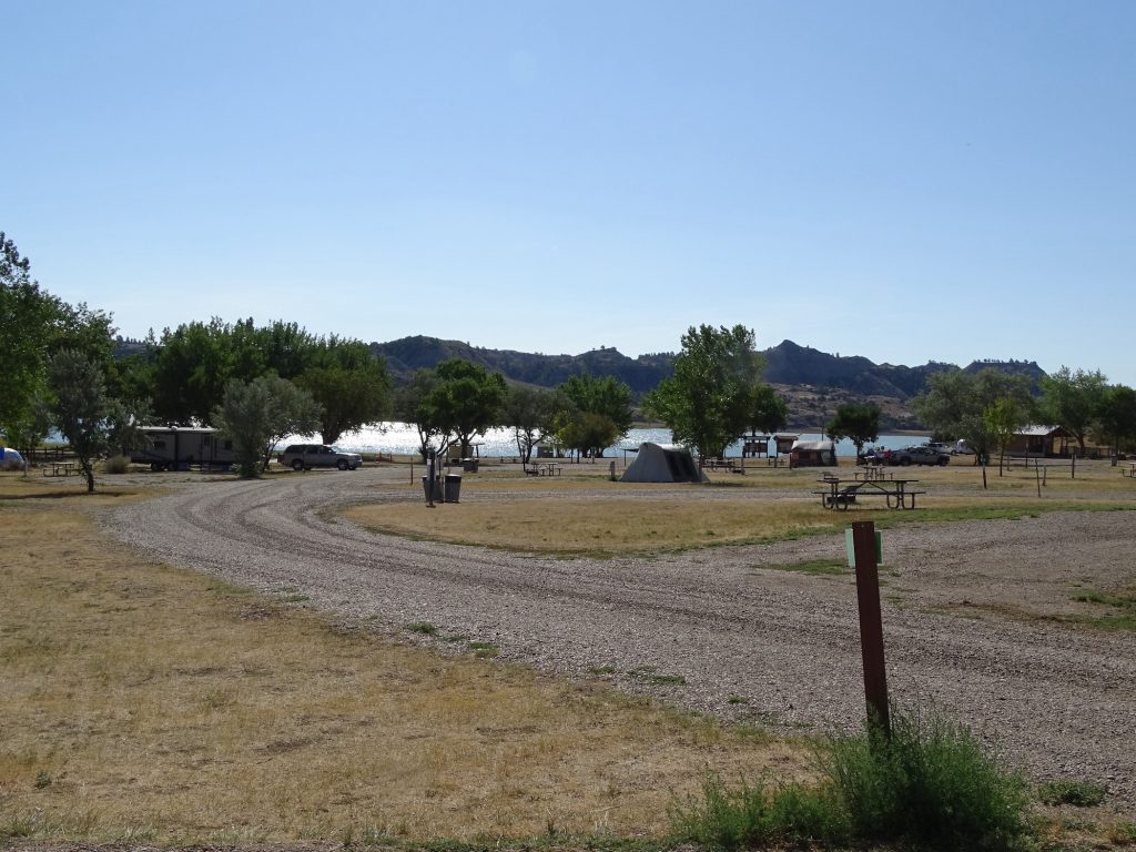
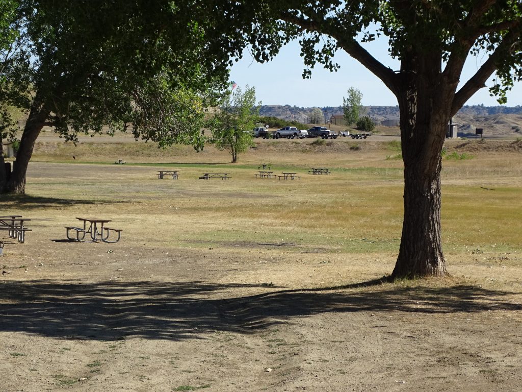
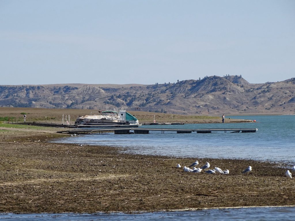
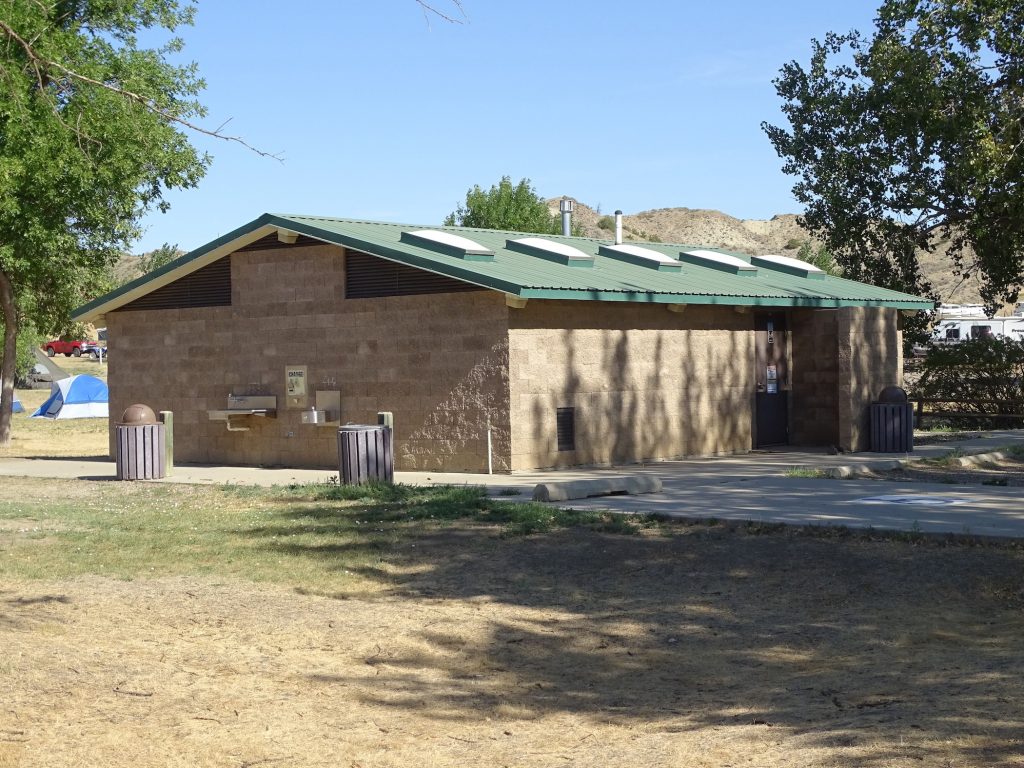
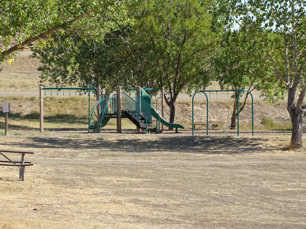
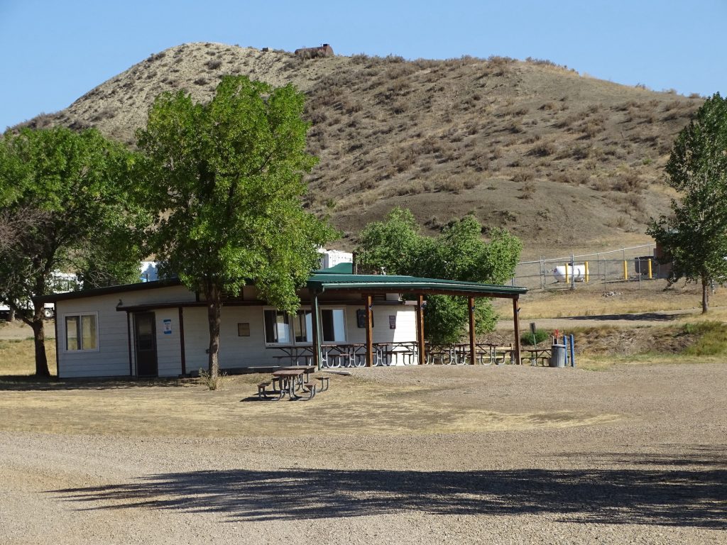
If you can get past the ridiculous entry road, which quite a few people apparently do, Hell Creek State Park is super quiet and not bad at all. Quite a few people store their boats and RVs in the park’s storage area, and it is a little Mecca for fishermen and recreational boaters. Amenities include a day use picnic area, playground, basketball court, swimming dock, boat ramp, and fish cleaning station. The campground has 44 gravel, 50-amp electric-only sites, and water is available at the dump station. There are also 27 non-electric tent sites along the lake shore. All sites have fire rings and picnic tables, but Montana is still under a fire ban. (You can use gas grills, but no charcoal either.) If we did not have to drive the hell road to get here, we would come back. For this stay in August 2021, we paid $146.00 for four nights. (Montana residents get a discounted rate.)
View From Our Site Campground
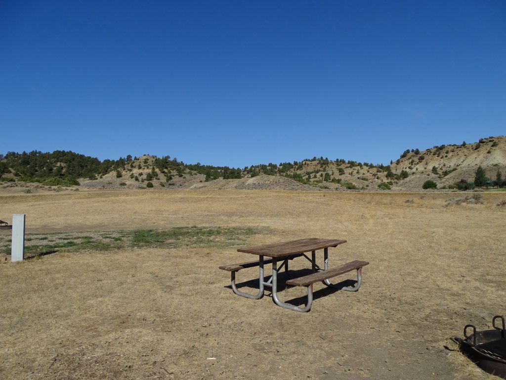
Picnic Area Tent Sites Along Lake
Swimming Area from Swimming/Fishing Dock Boat Ramp and Dock
Bathhouse Playground
Picnic Area on Lake Day Use Building
Campground in the Morning Smoke
Well, that’s it for now. Next up…more Montana! See you on the path!
Talisa
P.S. Hit the follow button below to be notified of new posts and please SHARE, SHARE, SHARE on social media!