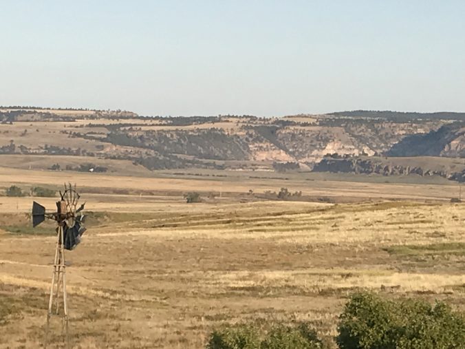
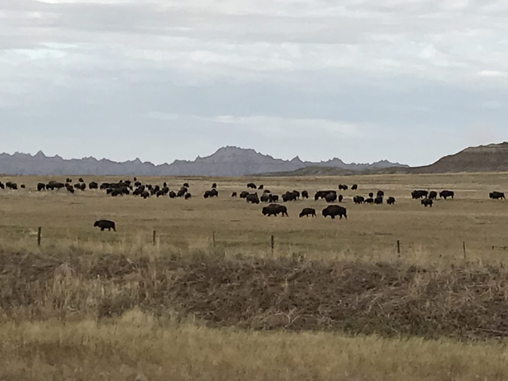
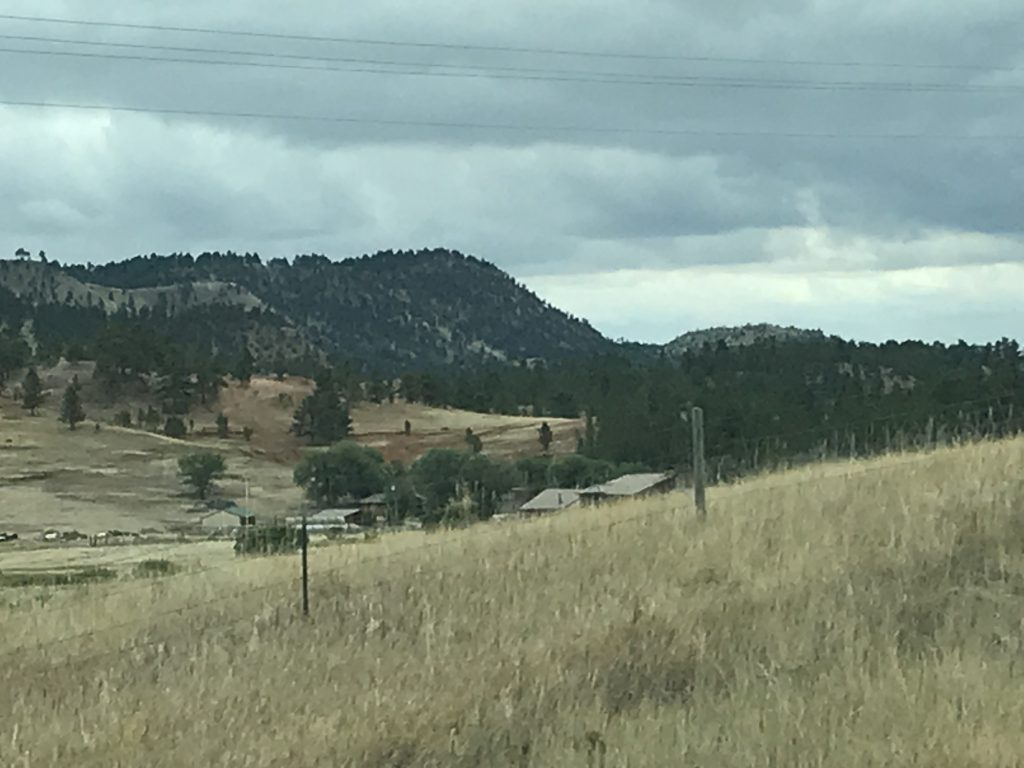
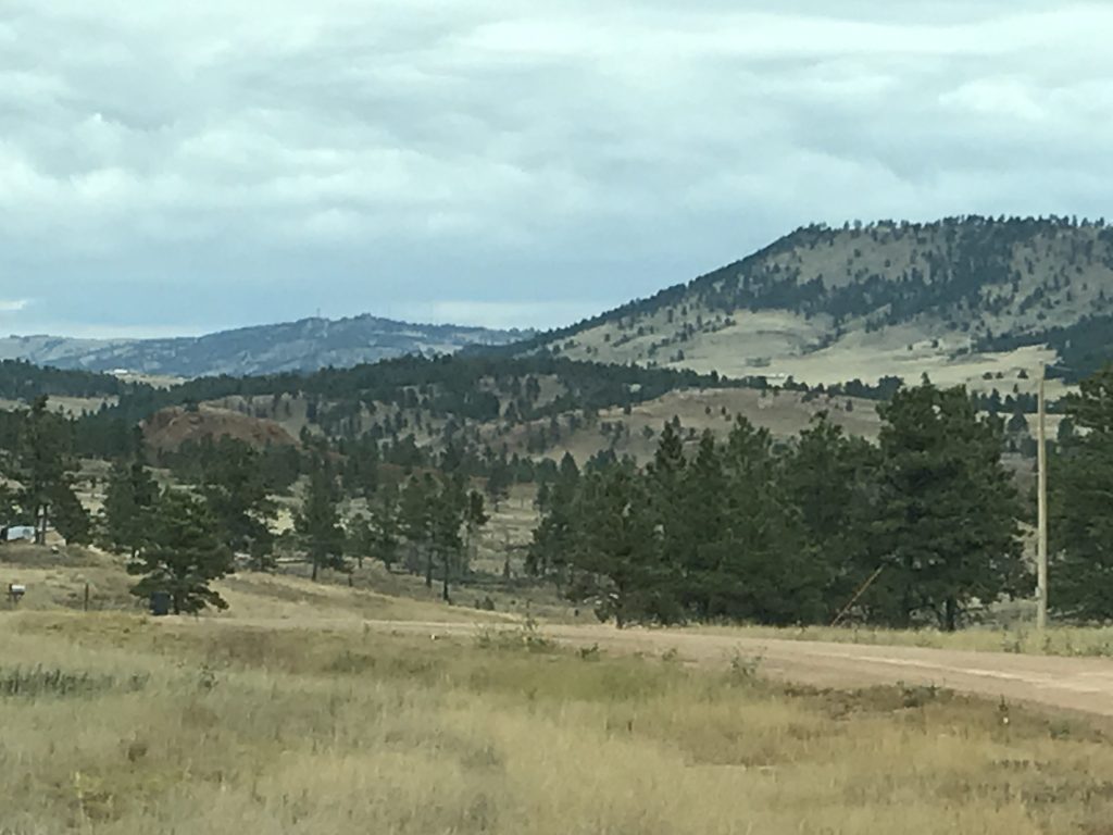
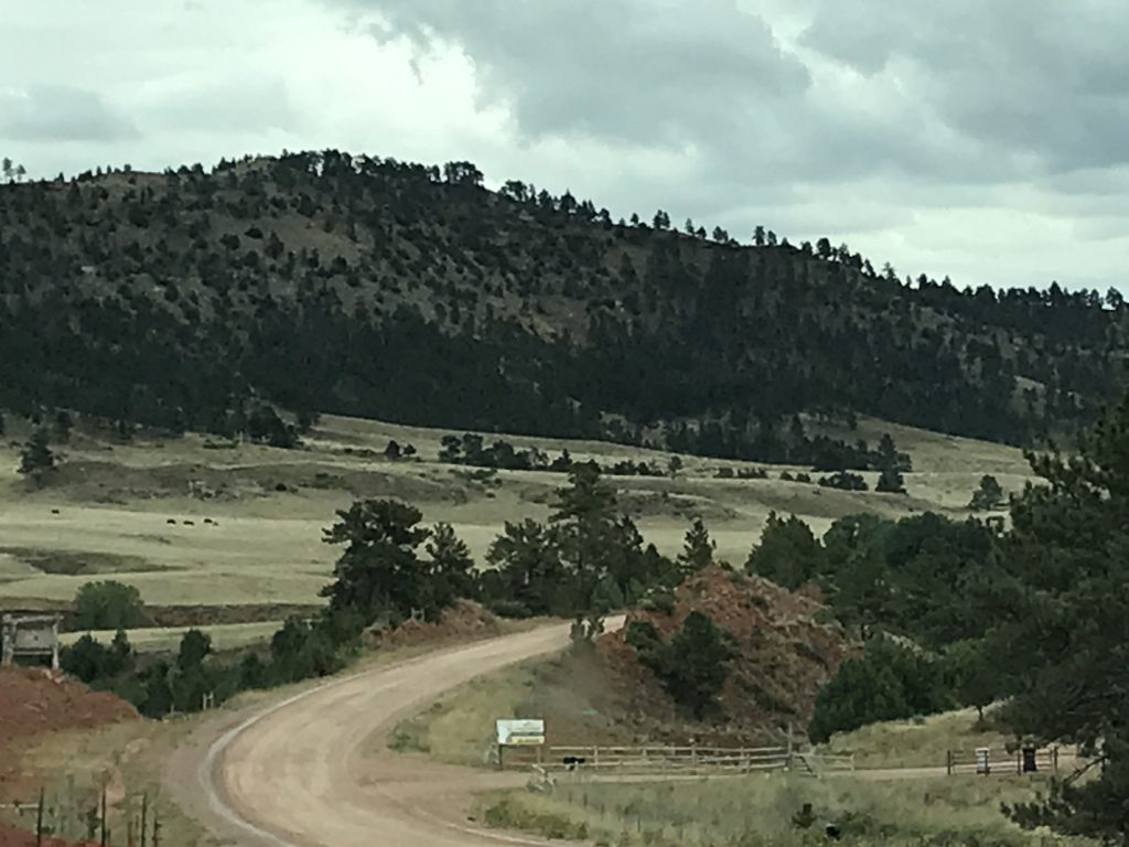
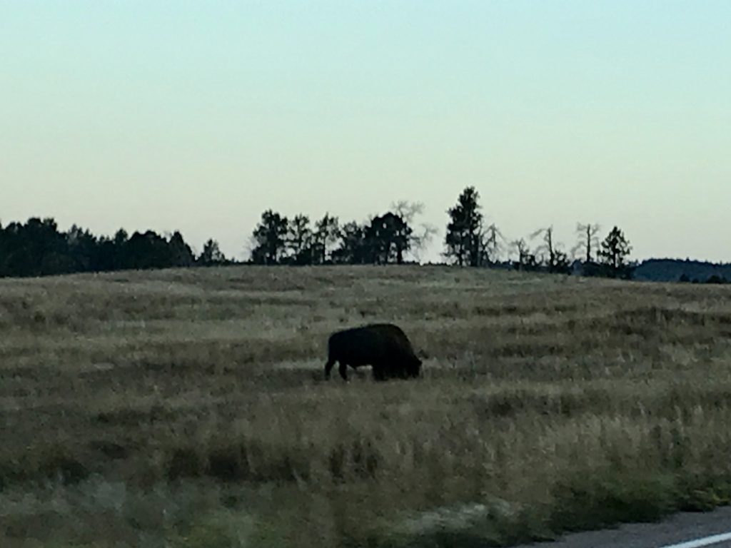
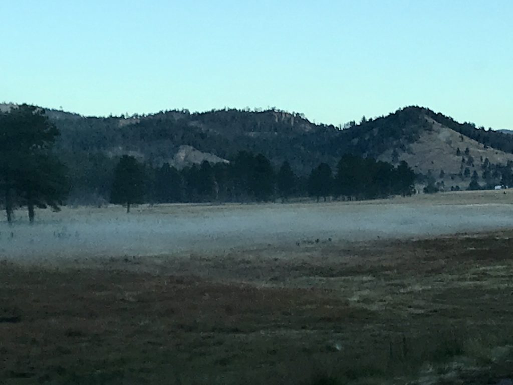
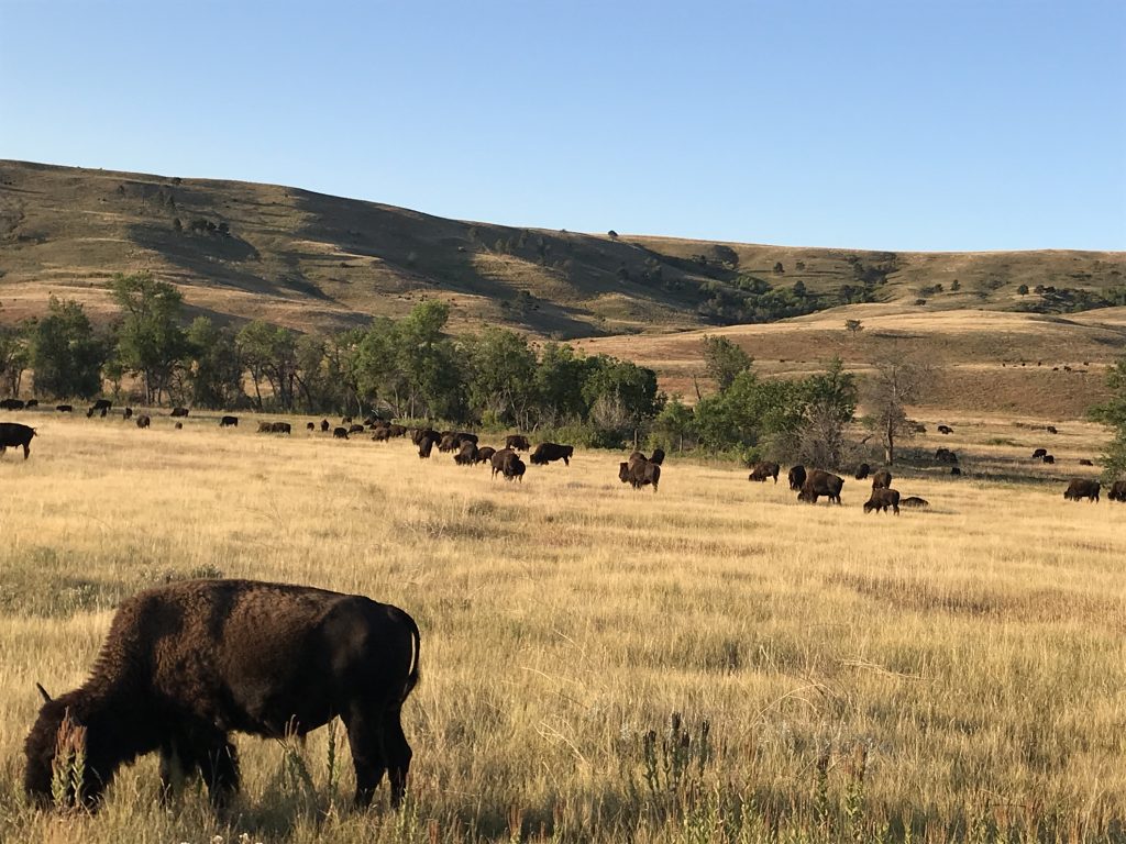
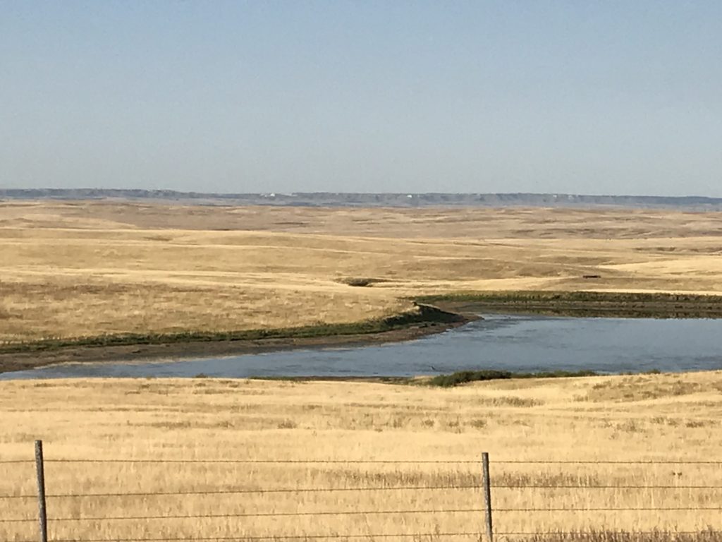
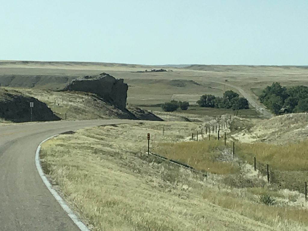
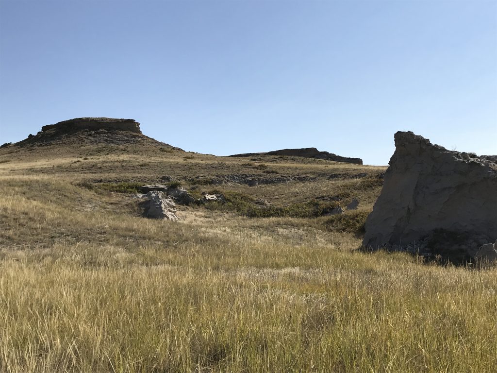
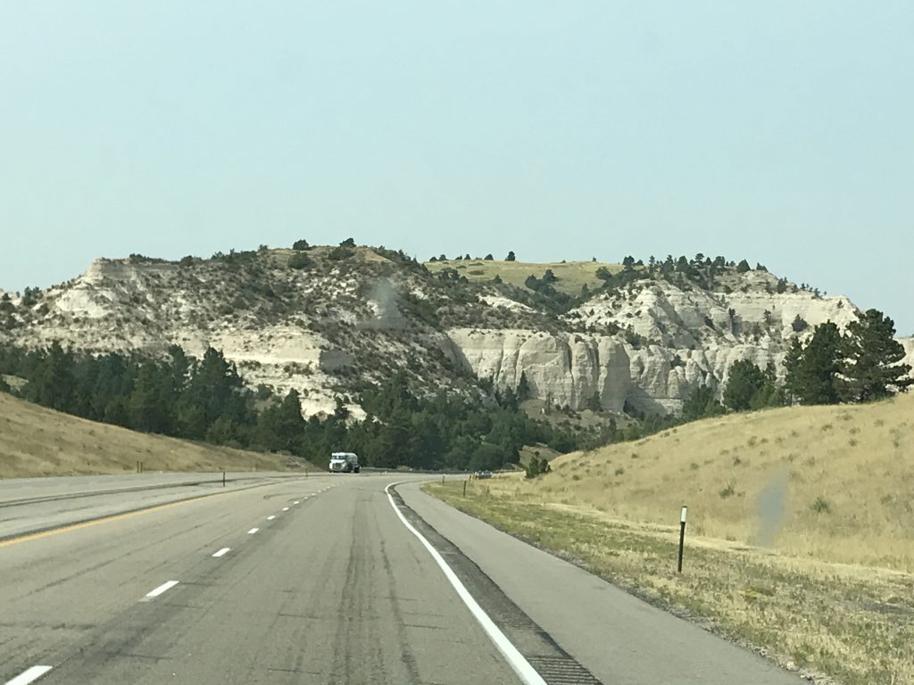
Friday we headed out of the Badlands about 7:30 AM, once again riding the roller coaster that is SD-44. Ugh! I was really worried that the cabinets in Petunia would all be spilled out into the floor. Thankfully, it wasn’t too bad. The land quickly changes from the sandy peaks and color of the Badlands back to vast prairie with mountains in the distance. Around Scenic, South Dakota we saw huge herds of buffalo. Near Caputo, we could see enormous grasslands, then the golden covered hills, and the buttes in the distance. The drastic changes are fascinating. You can be on a totally flat prairie, then a small rise comes and there are rolling hills on the other side. In the south, we are surrounded by trees and can’t see the land changing as easily, so I find the changes fascinating. I forget where it was along the way, but we saw a large, white bird at the edge of the woods. I think both of our brains were trying to match color, size, and shape, to no avail. Then we saw its companions. It was a solid WHITE TURKEY! (Of course, no pic of that coolness. Ugh!)
It didn’t take us too long to reach our first stop of the day. I’ll give you a hint: Some of them are woolly. Need more?
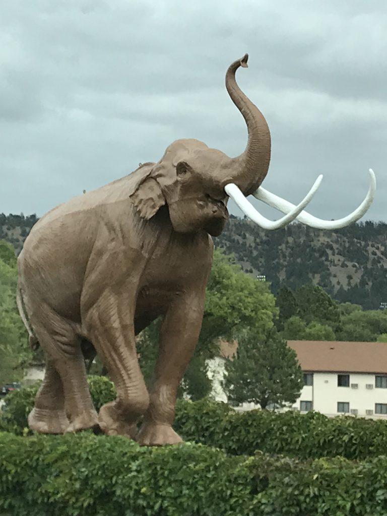
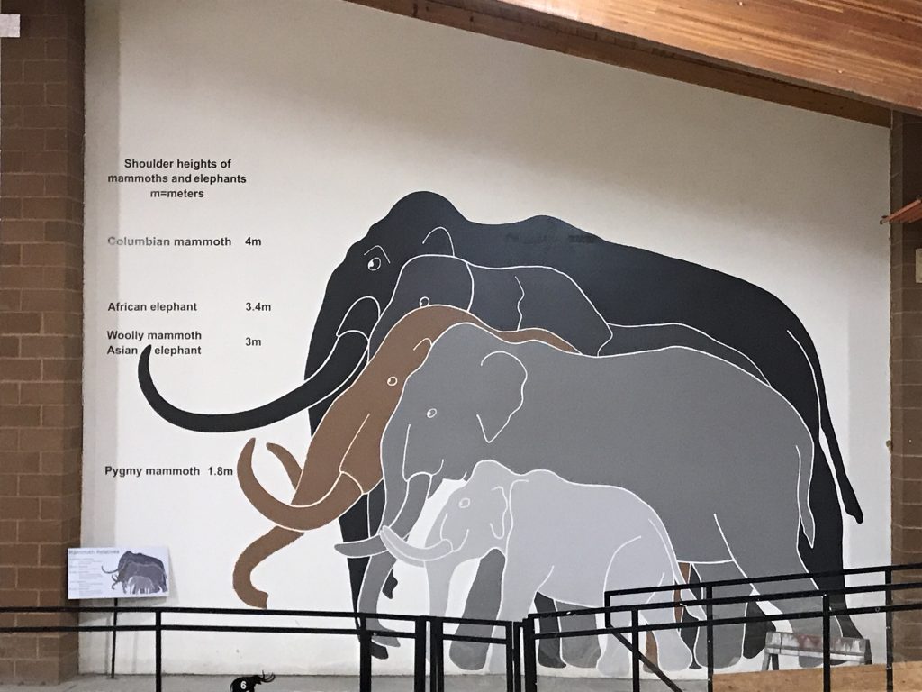
That’s right….mammoths!!! Hot Springs, South Dakota is home of The Mammoth Site. In June of 1974, this piece of land was owned by Phil Anderson, who had plans for a housing development. As the ground was being leveled, equipment operator George Hanson unearthed something white…a 7′ long tusk! Several colleges and universities turned down the opportunity to come check it out, so Hanson took some of the bones to his son, who had taken classes in archeology. Immediately recognizing what he believed was a mammoth tusk, he contacted his old professor, Dr. Larry Agenbroad of Chadron State College in Nebraska. Agenbroad was on a dig in Arizona, but immediately headed north, bringing other teams in as time progressed. After the scope of the find was revealed, Anderson realized that the fossils were more important than more houses, and sold the land at his cost to the newly minted, nonprofit Mammoth Site of Hot Springs, SD, Inc. In 1980, the US Parks Service designated the site a National Natural Landmark.
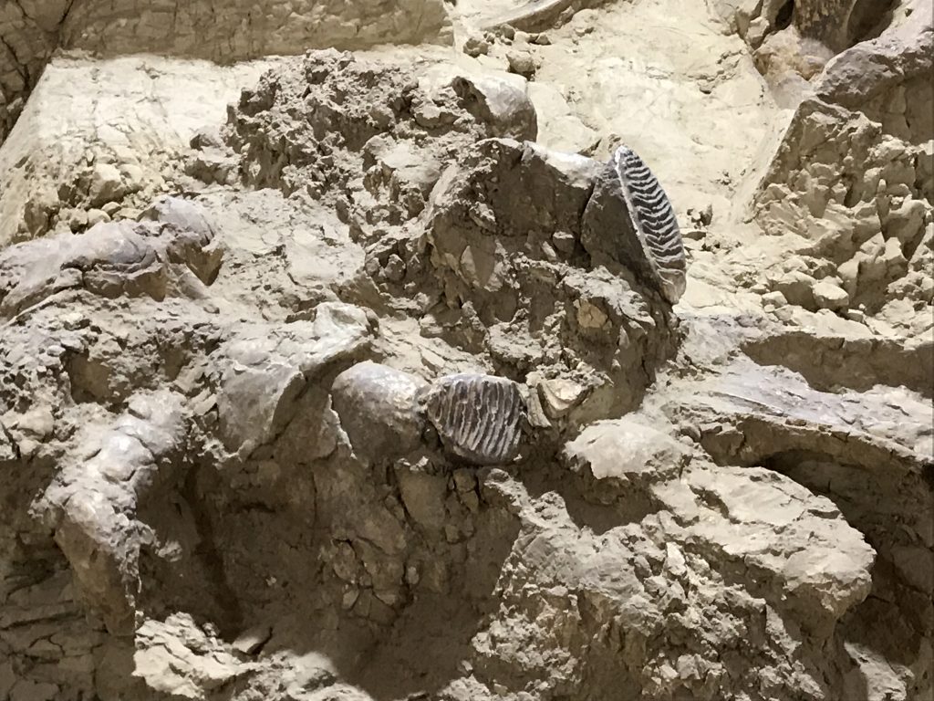
About 140,000 years ago a huge sink hole dropped down out of an area of grass and trees. With rain and runoff, the hole eventually filled with water, something that is always popular with wildlife. However, this particular pond was surrounded by red Spearfish shale, which is very slippery. Animals came to drink and eat the grasses at the edge not knowing that they would not be able to climb back out on the slippery, steep sides. Bones piled up in the pond, which over time filled with sediment and became solid. The softer shale around it then eroded away, leaving a cemetery hill of sorts. That hill is now enclosed in a climate-controlled building and has scientists and volunteers excavating all the time. So far they have cleared out about 25 feet down in what they believe is a 65′ hole. So what have they found? At least 3 woolly mammoths and 58 North American Columbian mammoths, plus giant short-faced bears, American camels, wolves, llamas, and lots of other species. When you visit, you can walk around and over the excavation, watching volunteers and employees at work. They scrape away sediment slowly and carefully with brushes and paint scrapers. The loose dirt is taken in buckets to workrooms where every bit is screened for tiny bones and shells. This place is totally cool to walk around and well worth the cost of admission ($8 with military discount).

Reading This Story in the Paper After Your University Turned It Down…Priceless!
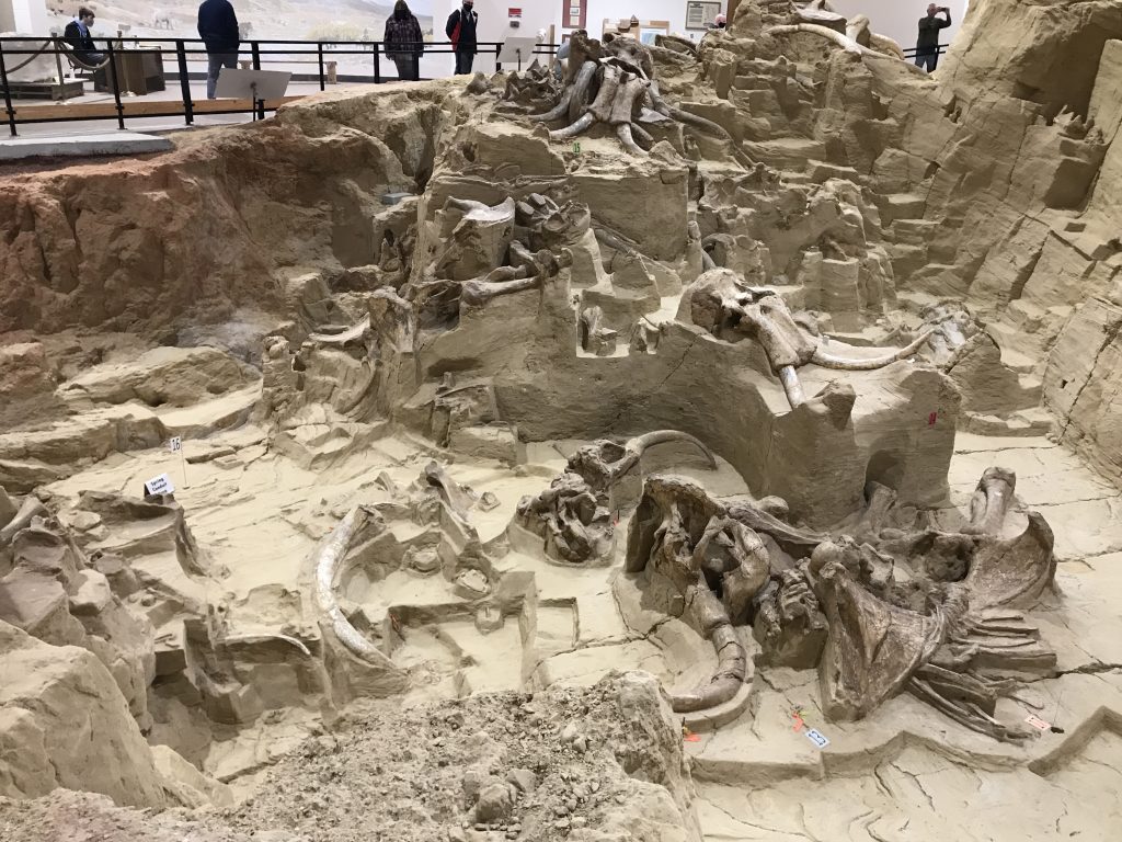
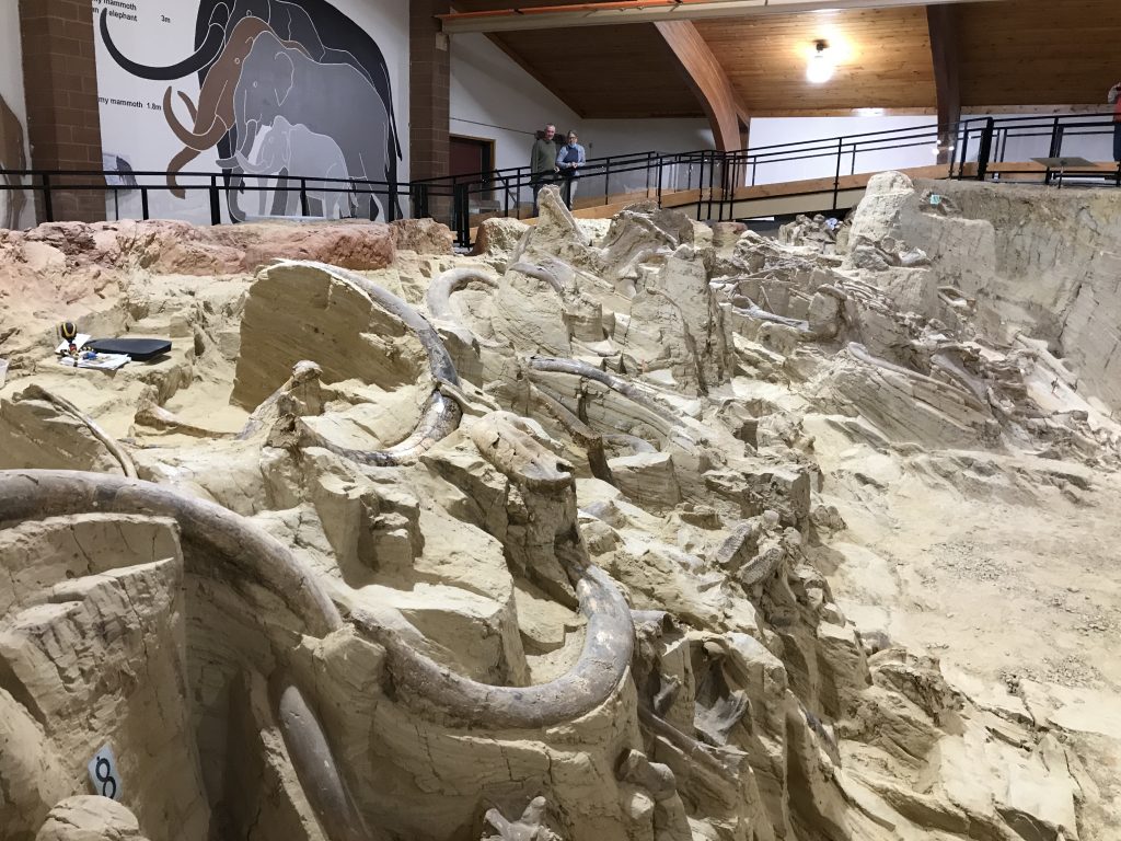
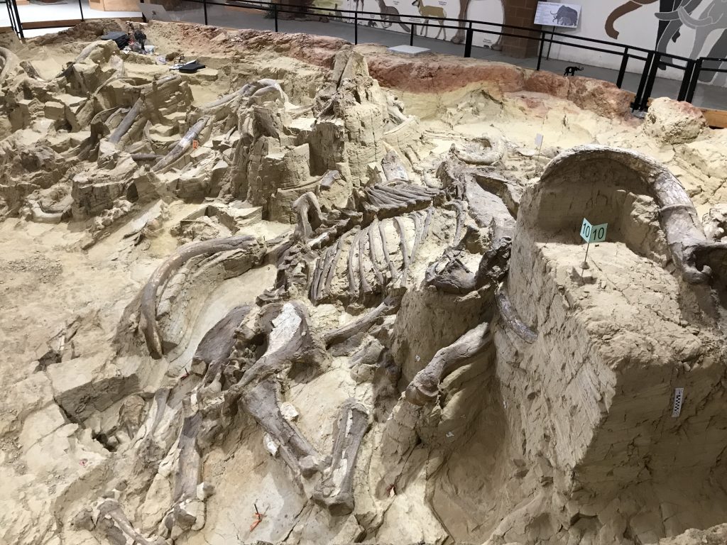
Rippled-Looking Rocks are Mammoth Teeth!
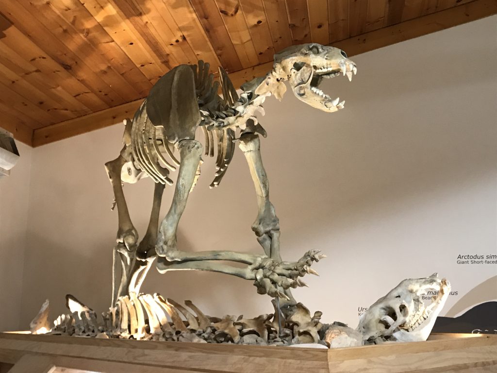
Giant Short-Faced Bear The Big One
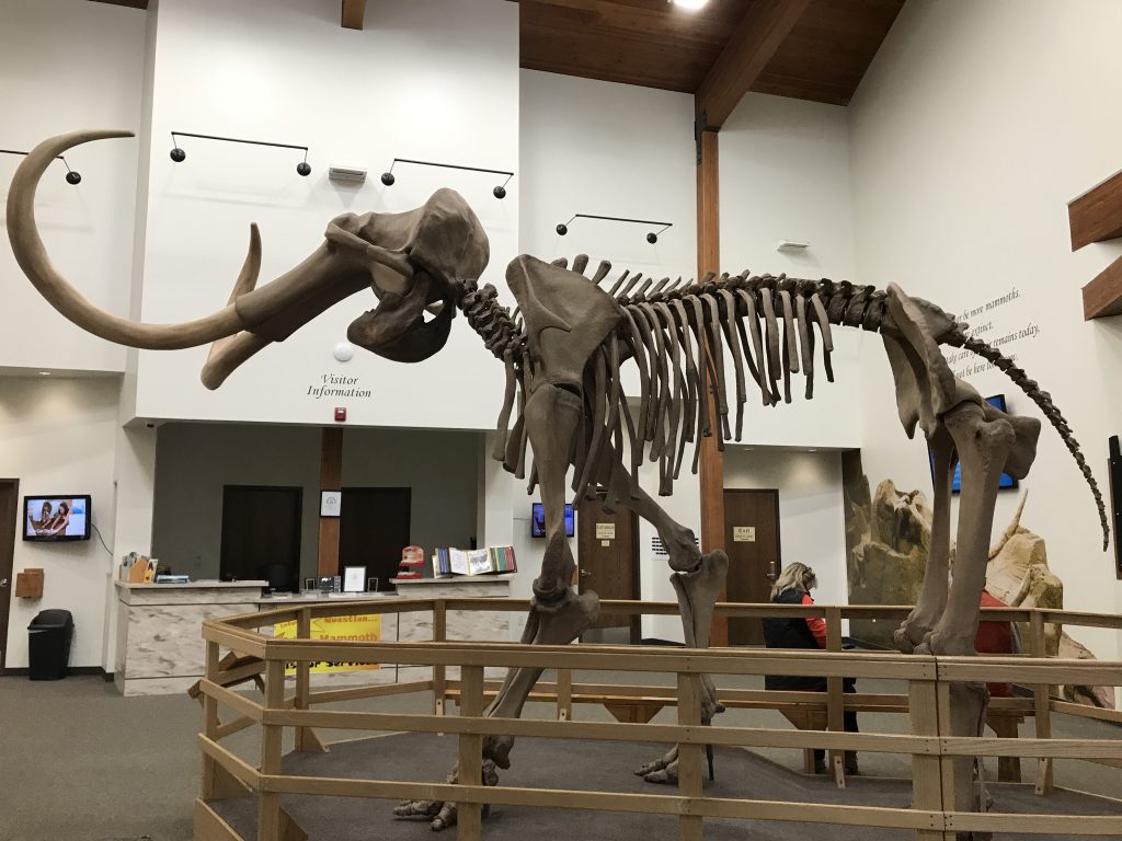
Columbian Mammoth Yes, The Big One
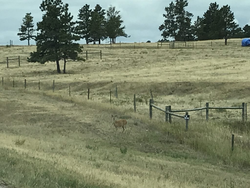
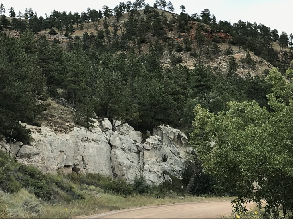
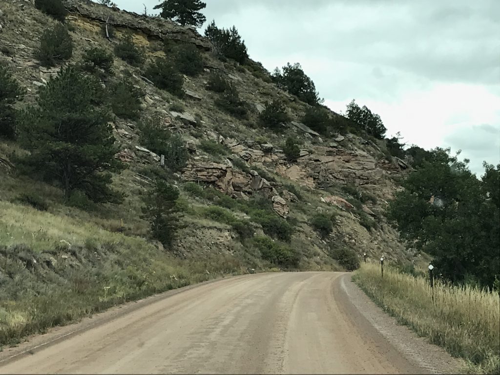
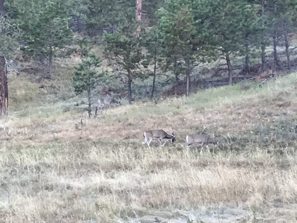
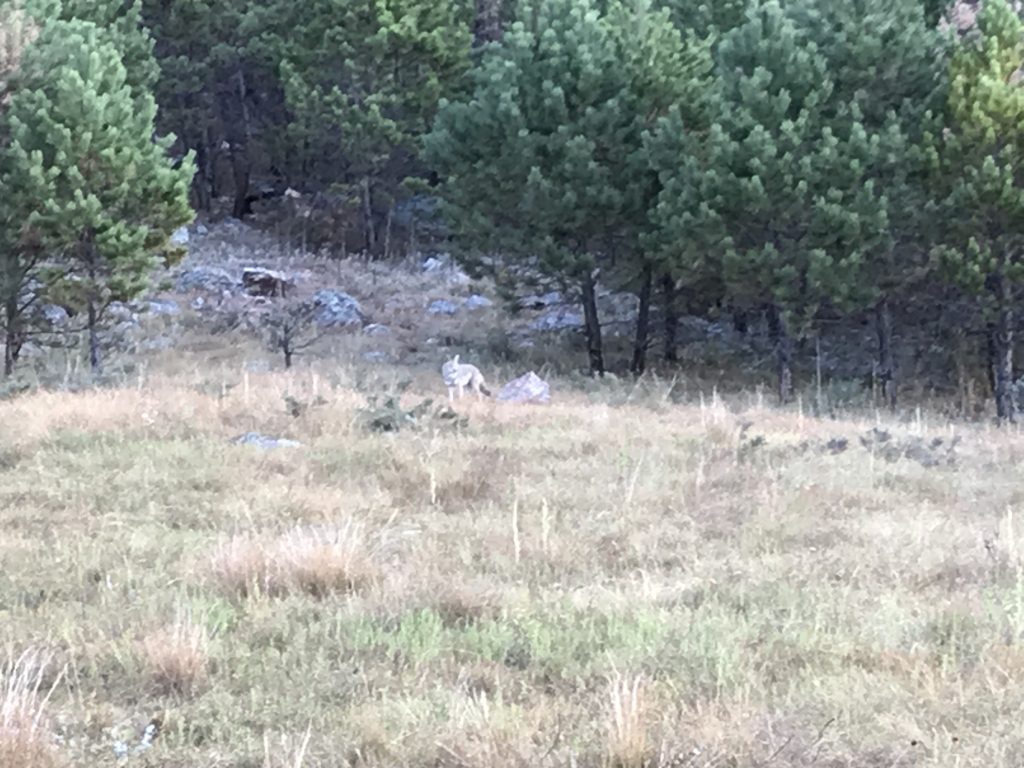
Back on the road, we headed southwest on SD-71 to Sheps Canyon Recreation Area, which is at the end of a 6-mile, fairly well-maintained, dirt road. The route was beautiful, and we saw several deer and a huge flock of wild turkeys on the way in. After setting up, I ran back out to the main road to get some milk. Turns out what I thought was a store was really a restaurant and bakery, so no milk, but apple pie. On the way back, a coyote crossed the road in front of me. (Like the white turkey, not fast enough for that pic, either! Plus, I was driving.)
Beautiful Black Hills Deer Watching Us Go By
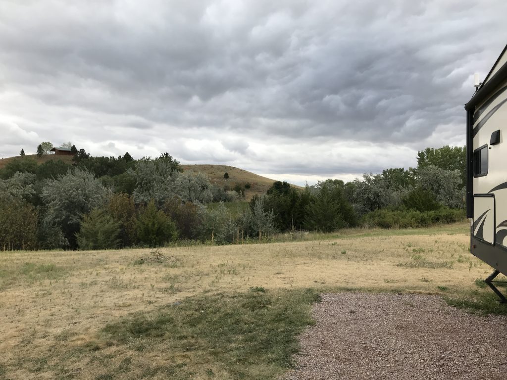
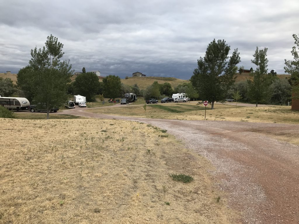
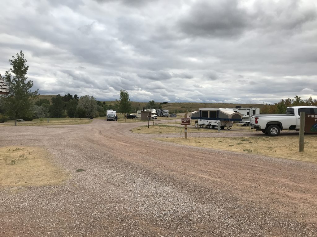
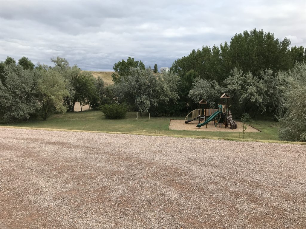
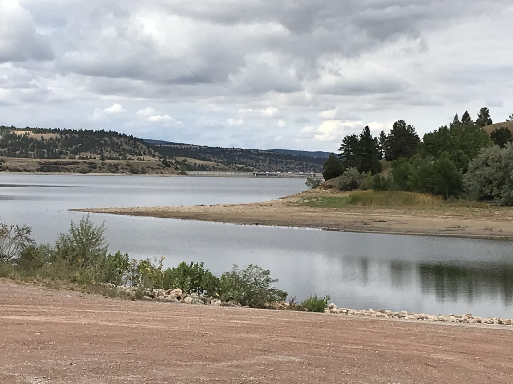
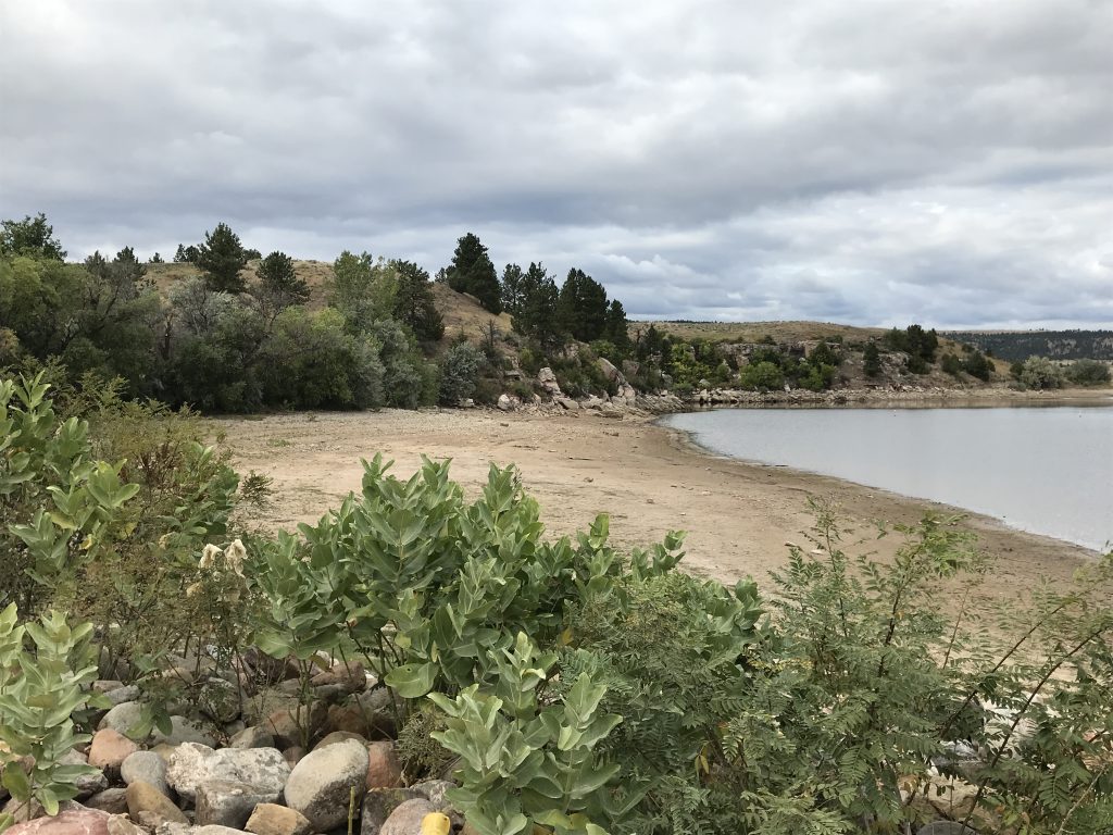
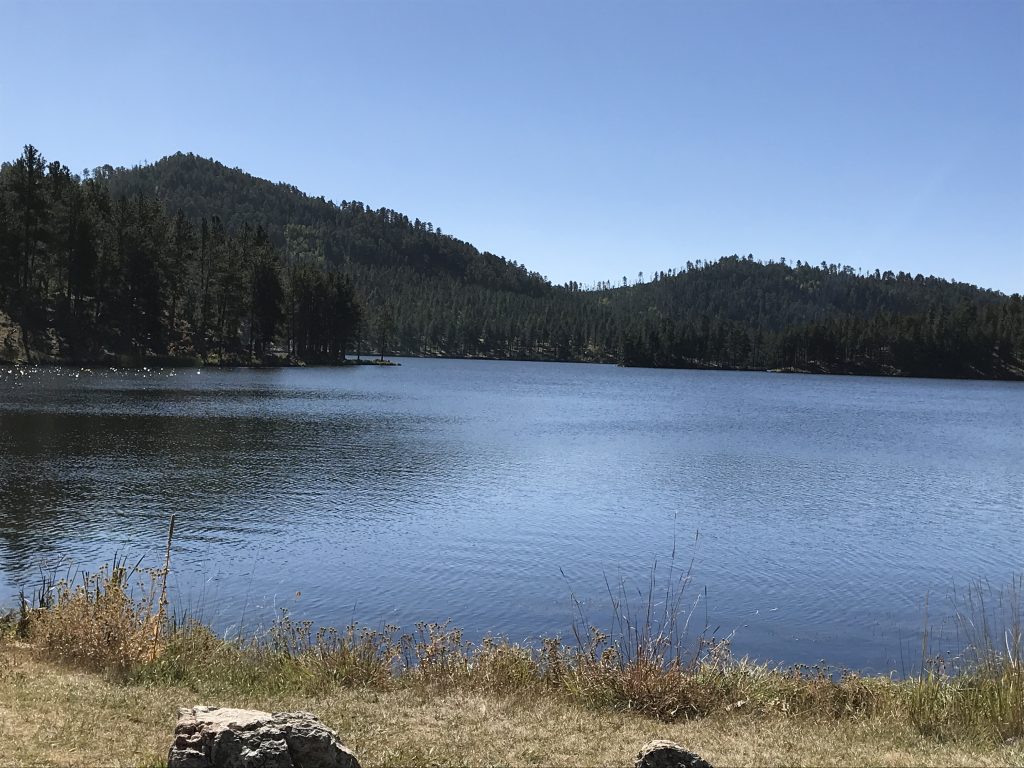
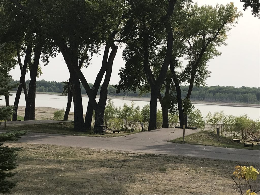
Sheps Canyon Recreation Area is beautiful. It consists of the campground, a boat ramp, and a playground, so isn’t packed with amenities. It is on the Angostura Reservoir, but with the water level very low, it wasn’t very noticeable. The bathhouse was clean, with separate rooms, and the grounds were well kept. The views to one side were great. The other side, however, looked at a private campground/trailer park up the hill. That made it feel more crowded than it actually was on the upper loop. There were two full-hookup sites near the front, and the rest were electric only 50-amp. They were pretty well-spaced, graveled, and fairly level. It is not bad at all, but we probably would not go back because of the neighbors on the hillside (see below).
Our Site View Lake Loop
Upper Loop Playground
Boat Ramp Low Water!
Saturday was an early day, and we were up and out by a little after 6 AM, passing that flock of turkeys again on the dirt road. We drove through Hot Springs and headed north. The route took us through Wind Cave National Park, although we can’t mark that off because the cave was closed. It was beautiful, though, and there were quite a few buffalo. At Custer State Park we hit the Wildlife Route Road, which they say is best early. They aren’t wrong. We saw hundreds of turkeys and buffalo, a pair of foxes, a couple of white tail deer and a LOT of mule deer
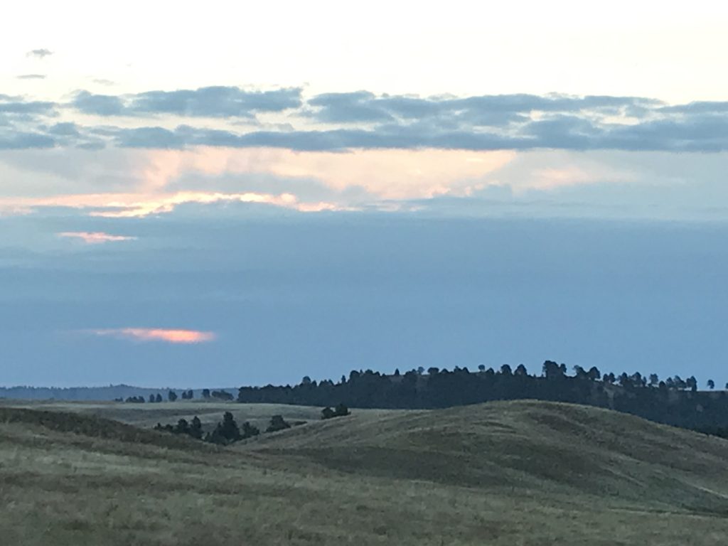
Early Morning Buffalo at Wind Cave National Park Wind Cave Cloudy Sunrise
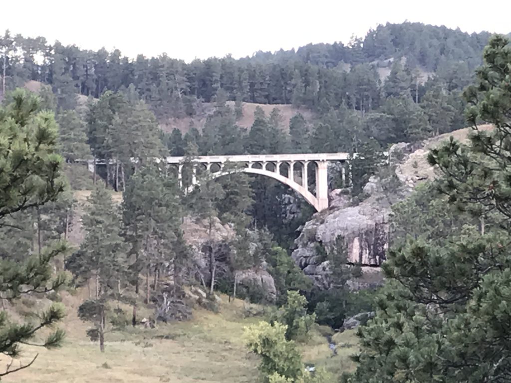
Bridge Over Beaver Creek – Wind Cave NP Early Morning Fog – Wind Cave NP
Deer – Custer State Park Fox – Custer State Park
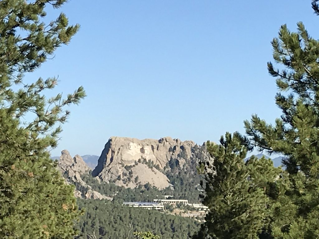
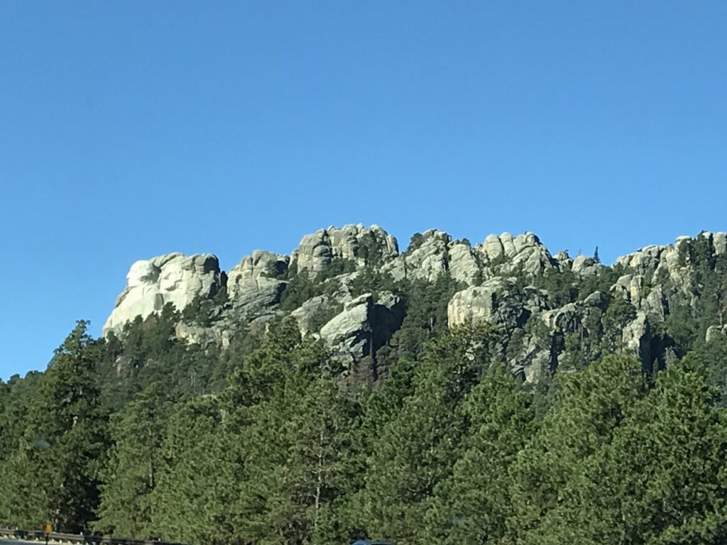
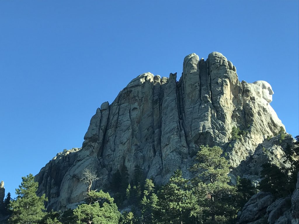
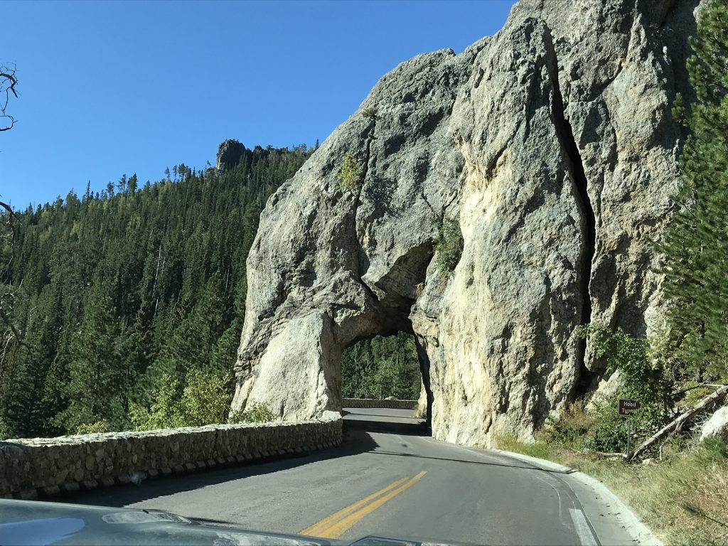
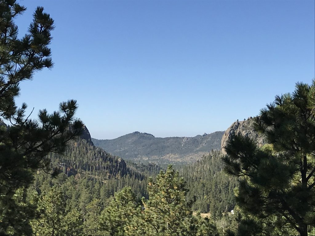
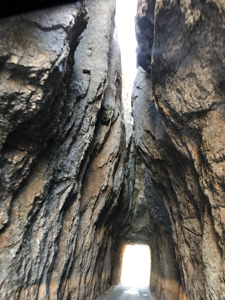
Next we headed up Iron Mountain Road to Mount Rushmore National Memorial. We stopped at the memorial to Peter Norbeck, who was a pretty interesting guy. Among other things, he was the first native Governor of South Dakota, a U.S. Senator, and founder of Custer State Park. He sponsored the Mount Rushmore Memorial, too. The coolest thing, though, is that he personally laid out the Needles Highway entirely on foot and by horseback. He felt that, with automobiles now on the scene, these beautiful hills needed roads, but that the roads should not destroy the beauty of the hills. Drive through here and you see that his goal was accomplished, both on Needles and Iron Mountain. The man was a visionary! Fittingly, his memorial sits on a mountain with a direct view of Mount Rushmore.
View from the Norbeck Monument
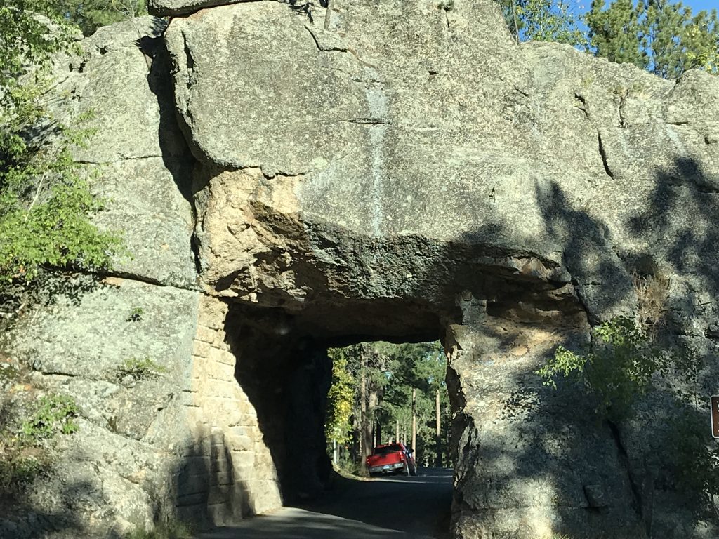

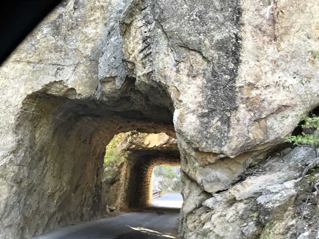
This Tunnel was Designed For This View
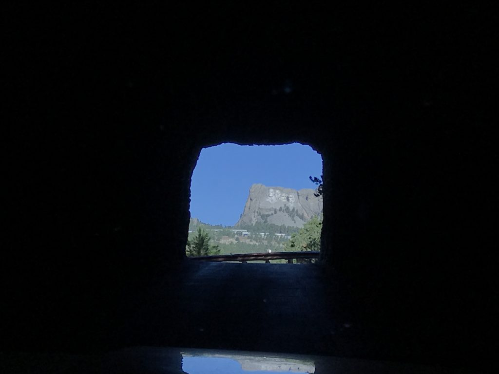
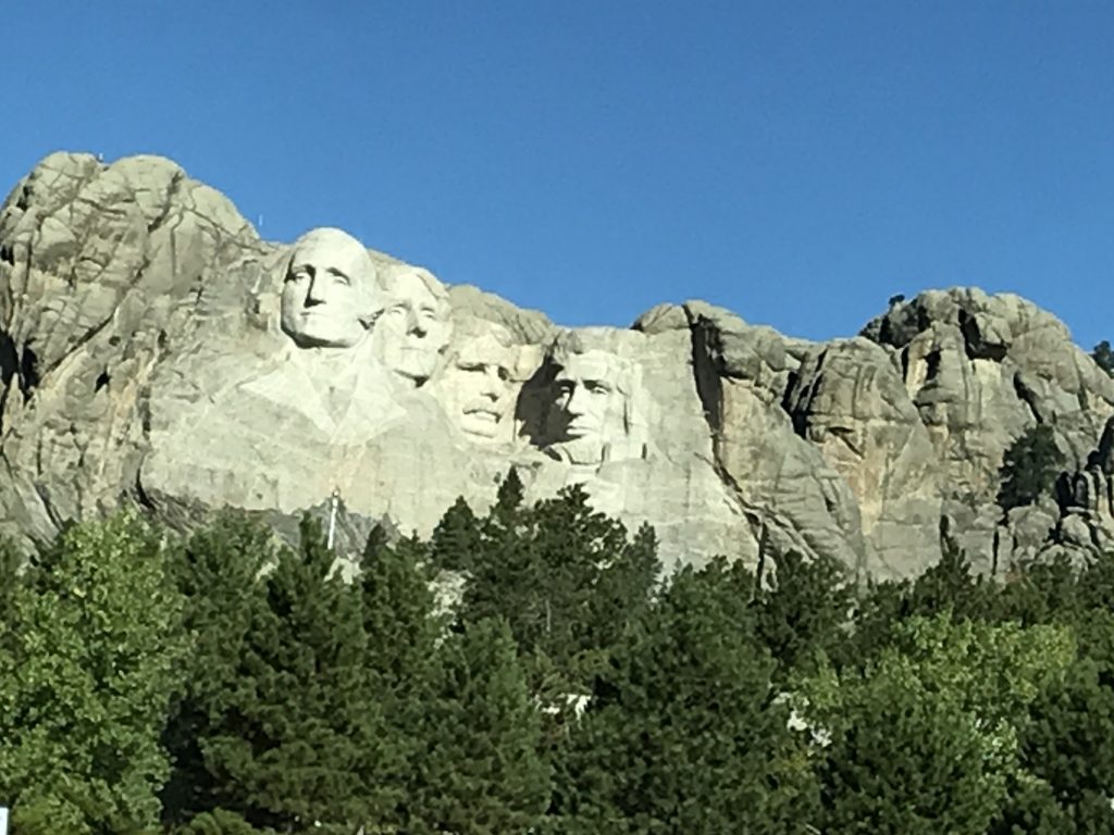
See George’s Profile? Here, too.
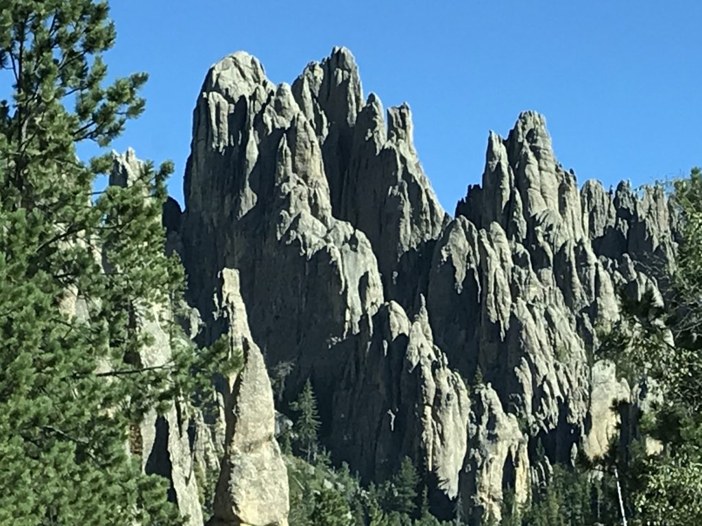
Leaving Mount Rushmore, we took SD-244 west to SD-87 to drive the aforementioned Needles Highway, so named for the rock formations. The scenery continued to be breathtaking.
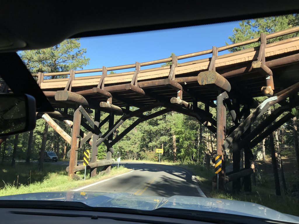
We had to pull the RV mirrors in for this one!

Stockade Lake in Custer SP – More White Pelicans, Too!
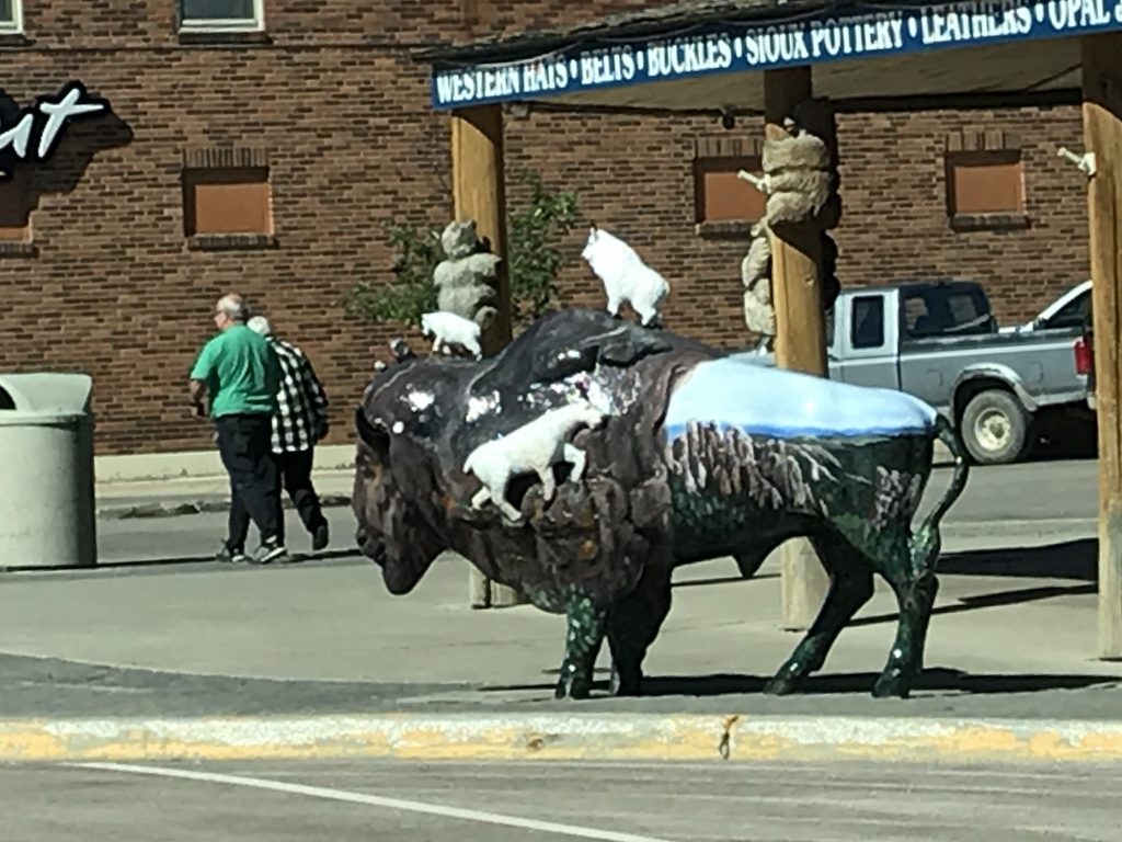
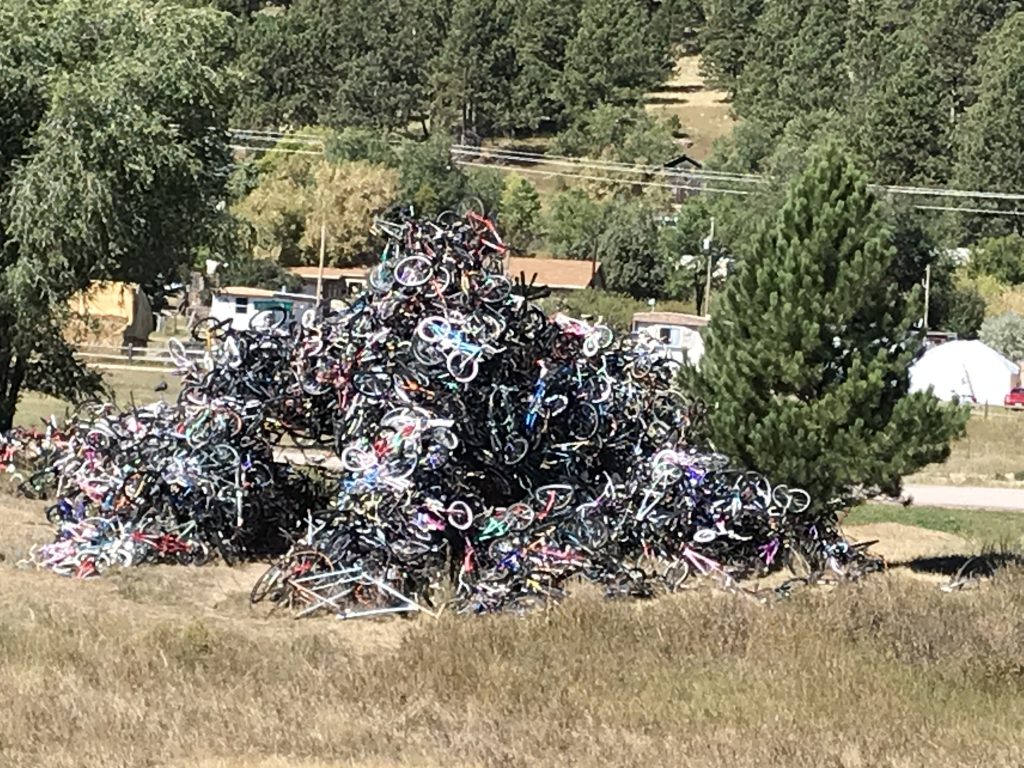
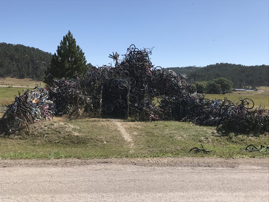
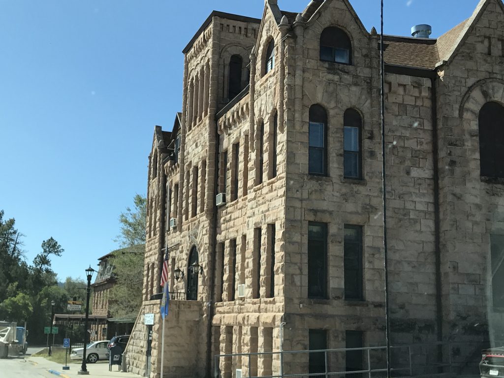
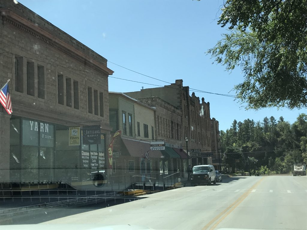
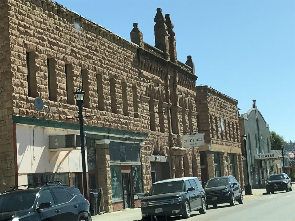
We headed west on US-16 to the town of Custer, South Dakota. It looked very touristy but would be worth exploring. Their town sculpture theme is buffalos, but I only caught one on camera. Then it was south on US-385 where we passed the Midwest’s Largest Bicycle Sculpture. Fully aware that there must be an even larger one somewhere outside the midwest, I have no answer for why, but you know I got pics! On to SD-71, we once again passed through Hot Springs, which has some really pretty buildings in a well-used downtown on the main road passing through. We made it back to Petunia for lunch after what seemed like an already long day and hung around enjoying the weather.
Bicycle Sculpture You Can Actually Walk Through!
Hot Springs Hot Springs
Hot Springs
Sunday we listened to the live webcast from Sneedville First Baptist Church, then I wrote for a while. It was a day of relaxation, so the only outing was when I went to pick up pizza from Big Time Pizza in Hot Springs. We give the pizza two thumbs up. I passed the same large flock of turkeys on the dirt road again. They must like whatever they are eating in that spot. Just before bedtime we started hearing yelling and screaming coming from up the hill. Some guy REALLY wanted Tara to get the f**k off of his golf cart. He also did not feel that he deserved “that”, whatever “that” was. Aside from Tara, who seemed to be mostly just crying, there was another woman screaming for the guy to “just stop”. It went on for a while before someone went speeding off in what sounded like a truck, throwing up dirt and gravel in his wake. I suddenly understood why the camp host said, “It’s usually pretty quiet around here unless the folks up on the hill get rowdy.”
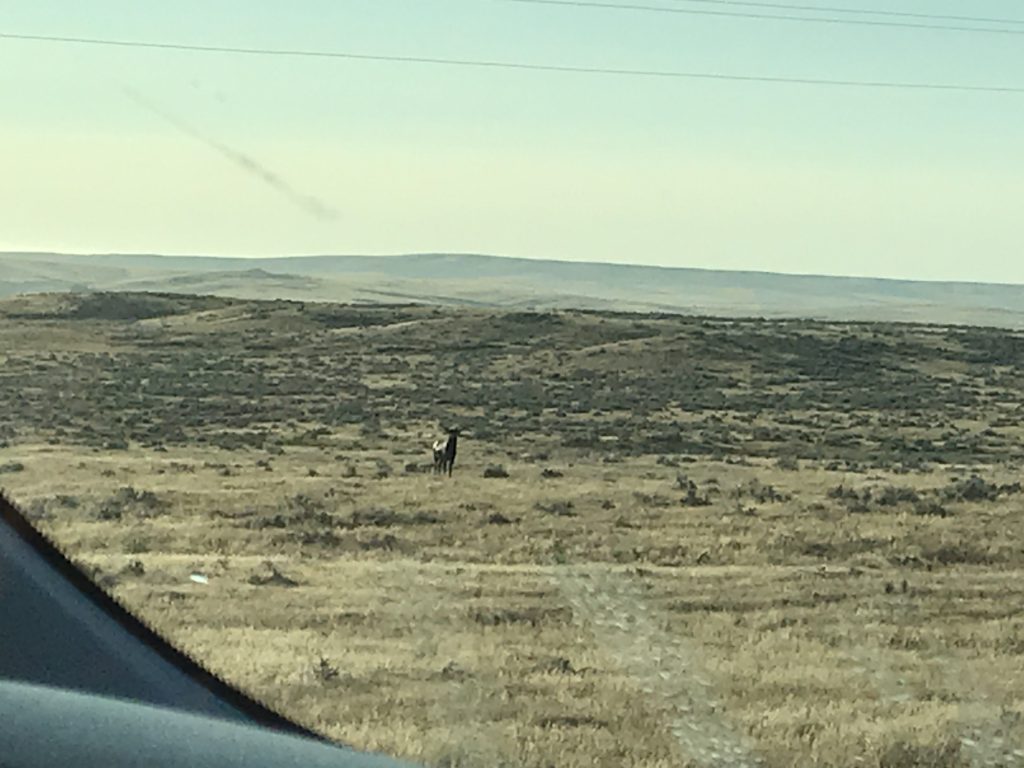
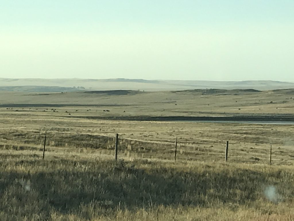
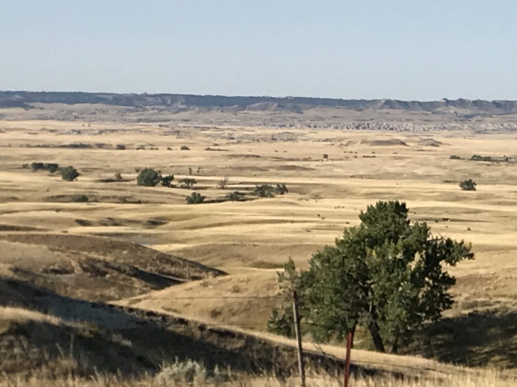
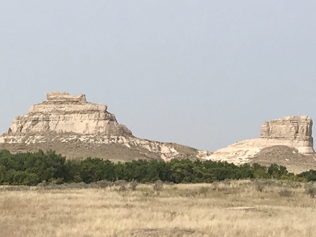
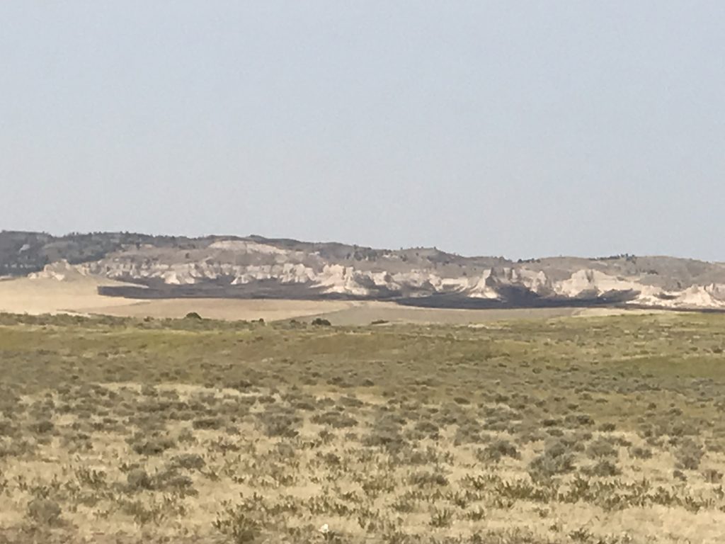
Monday we headed out at a leisurely pace pointed south for Nebraska on SD-71 and NE-2. Right after we turned south, a nice flock of turkeys graced us with their presence. That has to give us some kind of luck, right? The landscape varied from flat and slightly rolling grassland to flat-topped buttes. Near Edgemont, South Dakota, we caught a glimpse of our first wild elk. See…luck! Our route took us through the Buffalo Gap National Grassland on the South Dakota side and the Oglala National Grassland once we crossed into Nebraska. At Crawford, Nebraska, we turned west on US-20 to drive the scenic route over to Harrison, then turned south on NE-29 and descended into the valley of our first stop.
Hello Turkeys! Elk

Buffalo Gap National Grassland Oglala National Grassland
Crawford, Nebraska Near Agate Fossil Beds NM
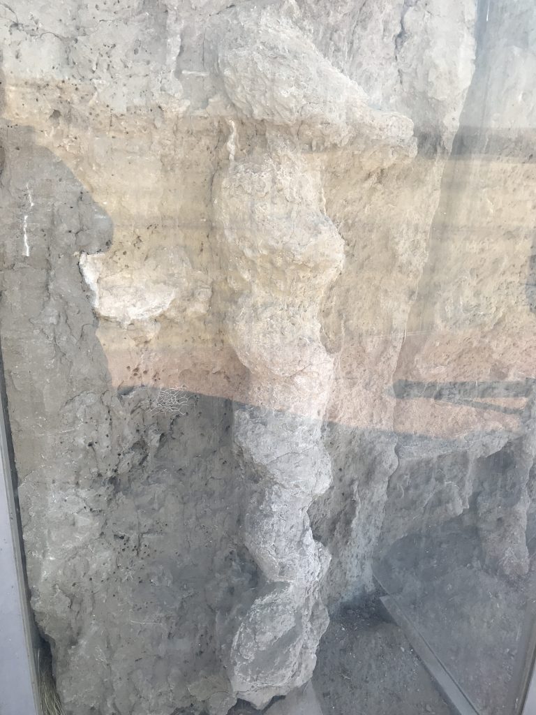
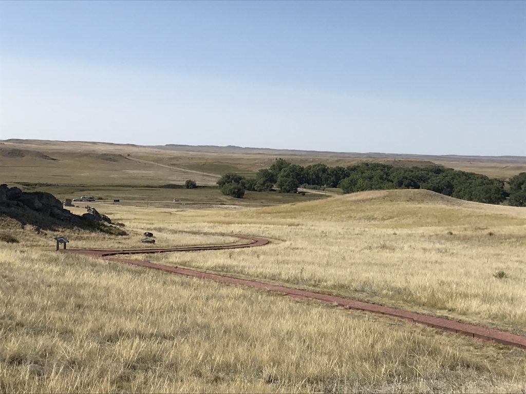
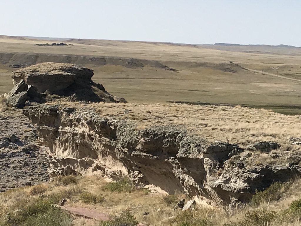
While the first fossil digs at what is now Agate Fossil Beds National Monument began in 1904, the Agate Springs Ranch was also a favorite location of Red Cloud of the Oglala Lakota. We stopped first to walk the Daemonelix trail near the entrance. Daemonelix, also called Devil’s Corkscrew, are petrified homes of the Palaeocastor, a dry-land beaver. It was pretty warm, so we had to keep an eye out for rattlesnakes (warning signs are everywhere), but the walk was very nice. The view from the top made it totally worth it, too!
Going Up! Daemonelix (Behind Plexiglass)
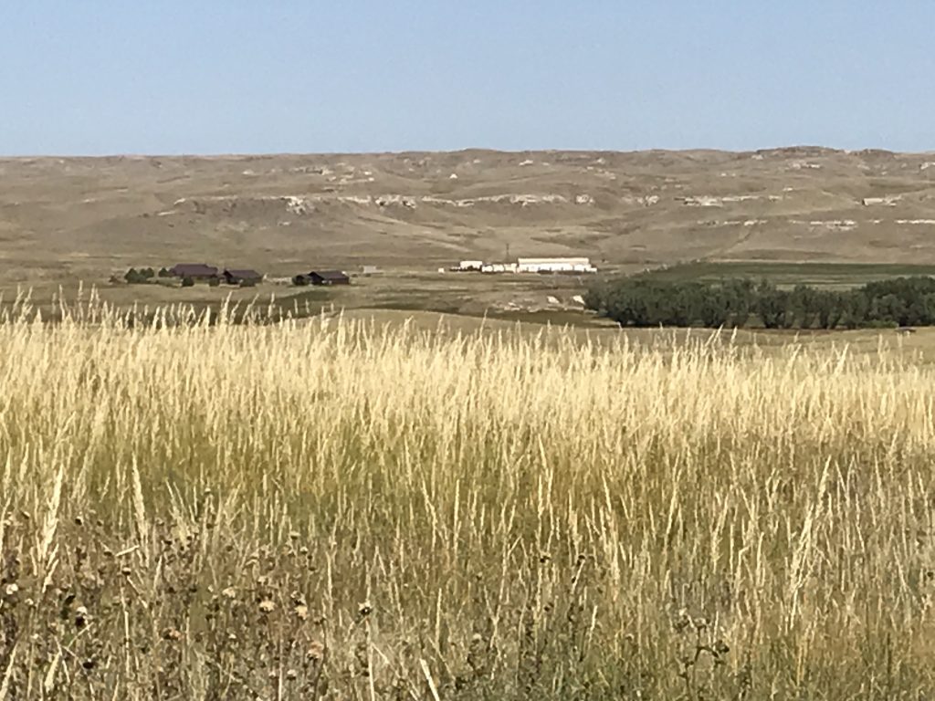
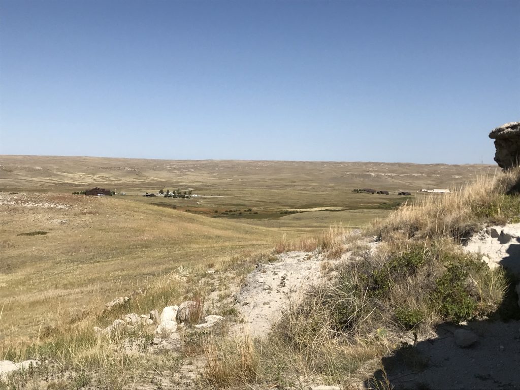
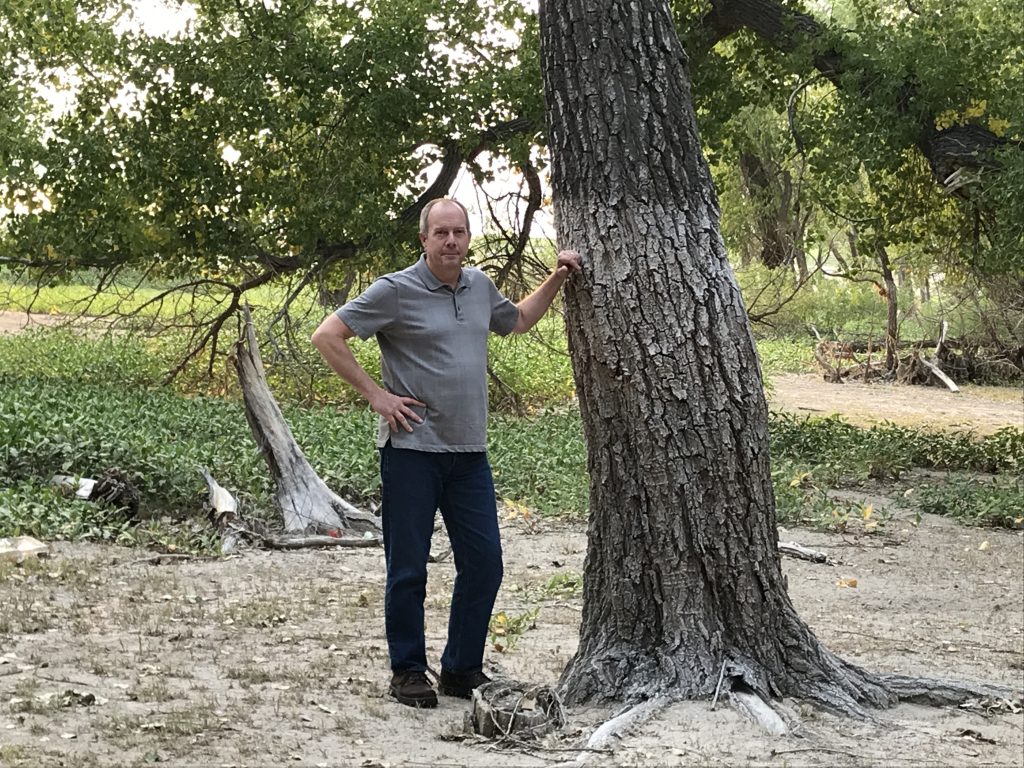
See Petunia?
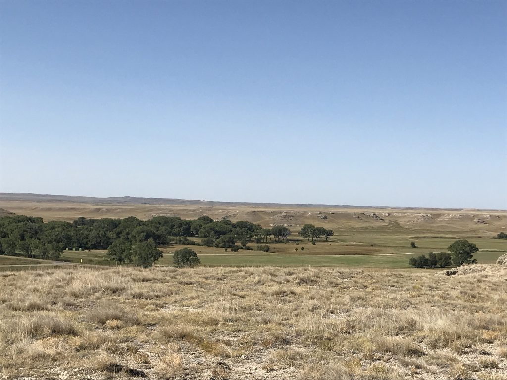
Next we headed to the Visitor’s Center, which was closed, but Rangers were outside giving out information. We headed up the Fossil Hills Trail, which wound first across a creek and through a field, then climbed up to the hills. That view was also spectacular, but with the temp climbing, the climb was a bit tougher. By the time we made it back to Brutus, having walked almost 4 miles, I was done.
Fossil Hills Trail Destination…Up There! Old Fossil Cabin
View from the Top Can You See Petunia?
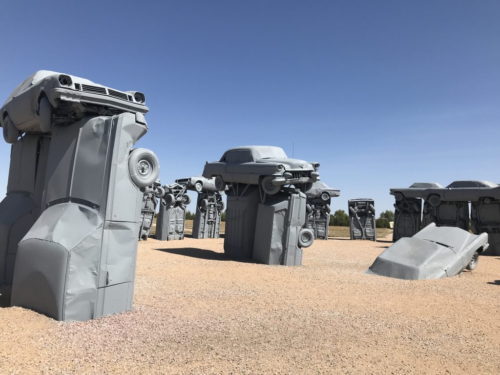
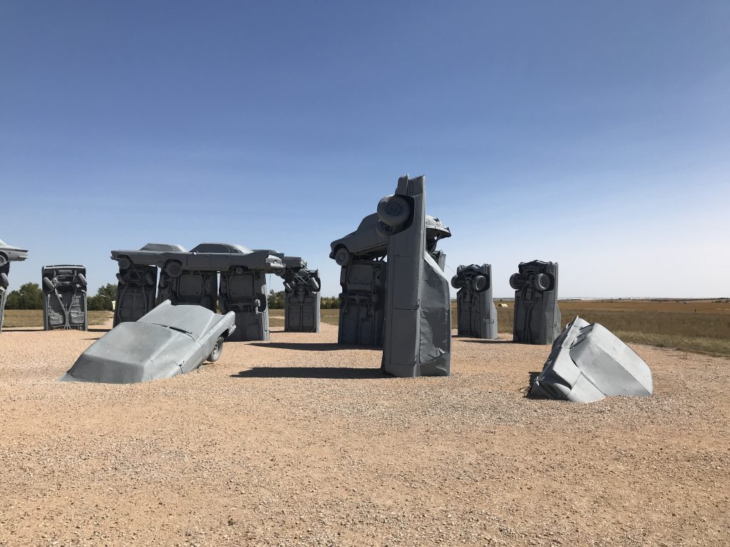
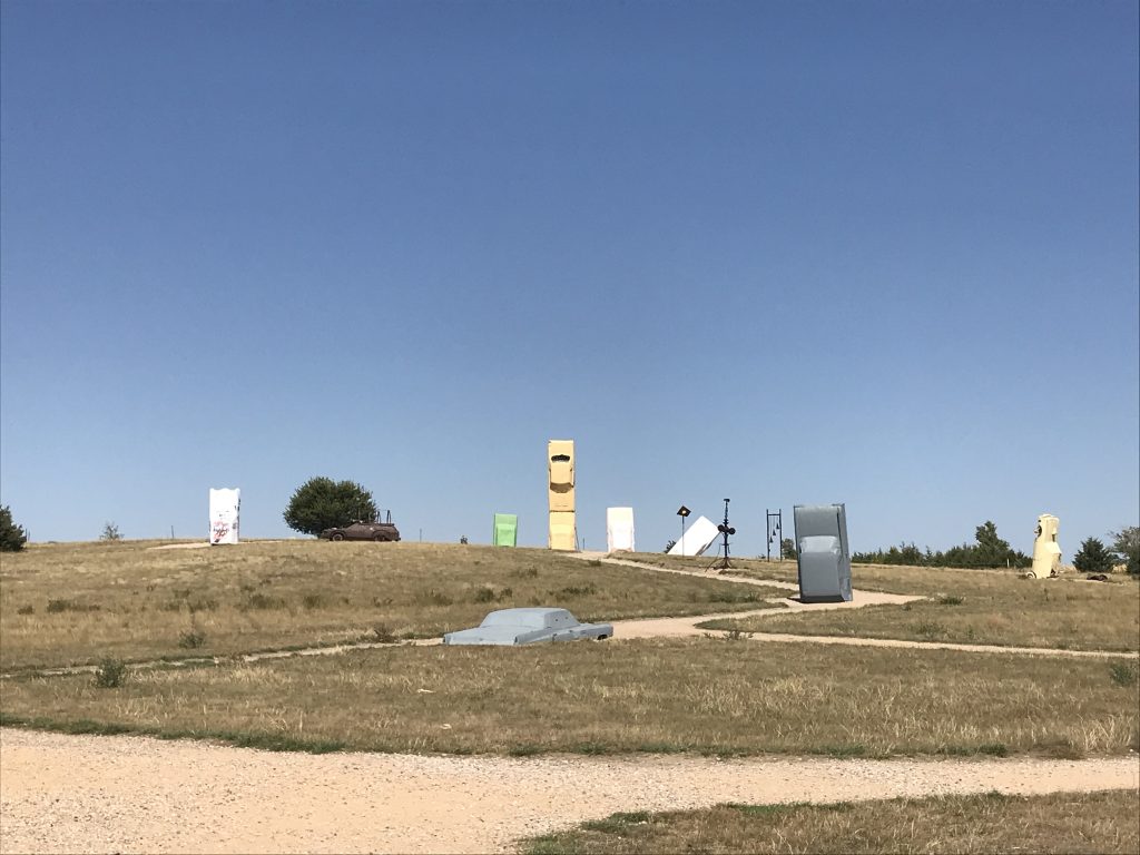
Back on the road, we headed east on the dirt connector road (where we saw a fox trotting along in a field) to NE-71, then over to NE-87 and turned south. That is where we found our second stop, Carhenge. Creator Jim Reinders came up with the idea while working as an engineer in England. When he returned to his hometown of Alliance, Nebraska, he formulated a plan. However, since there are no giant slabs of stone in that part of Nebraska, cars became his medium. (They’re everywhere, right?) So, during a Reinders family reunion over 6 days in 1987, the dream was born. It’s creative, but again…I’m just not sure why? Although my legs really didn’t want to move, we walked around a bit to check it out.
Just south in Alliance, we found Ken & Dales Restaurant for lunch. I was starved, and the Salmon BLT was delicious. MW had the Butcher Salad Bowl, which was also a hit. The waitress talked us into the Toffee Cake, which we took to go. Finally on the last leg of the day, we headed south on US-385 and west on L62A to Scotts Bluff and Lake Minatare State Recreation Area.
Near Minatare, Nebraska
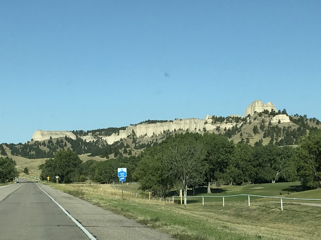
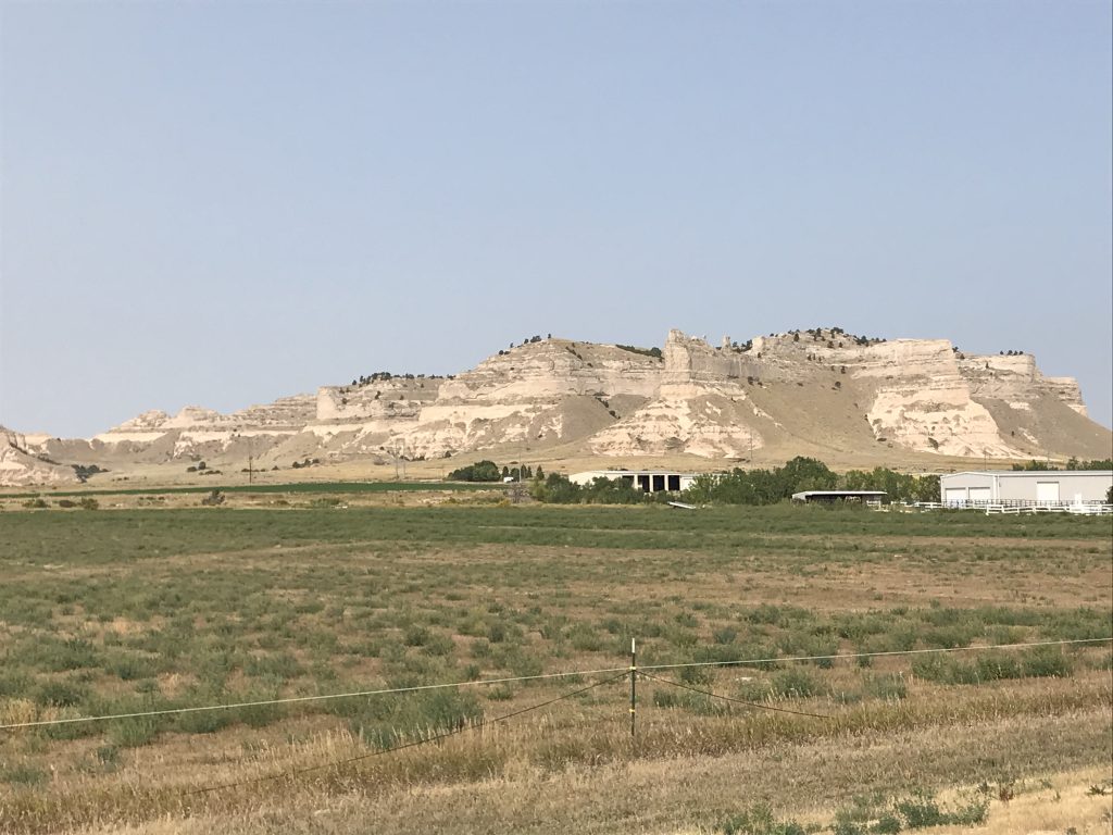
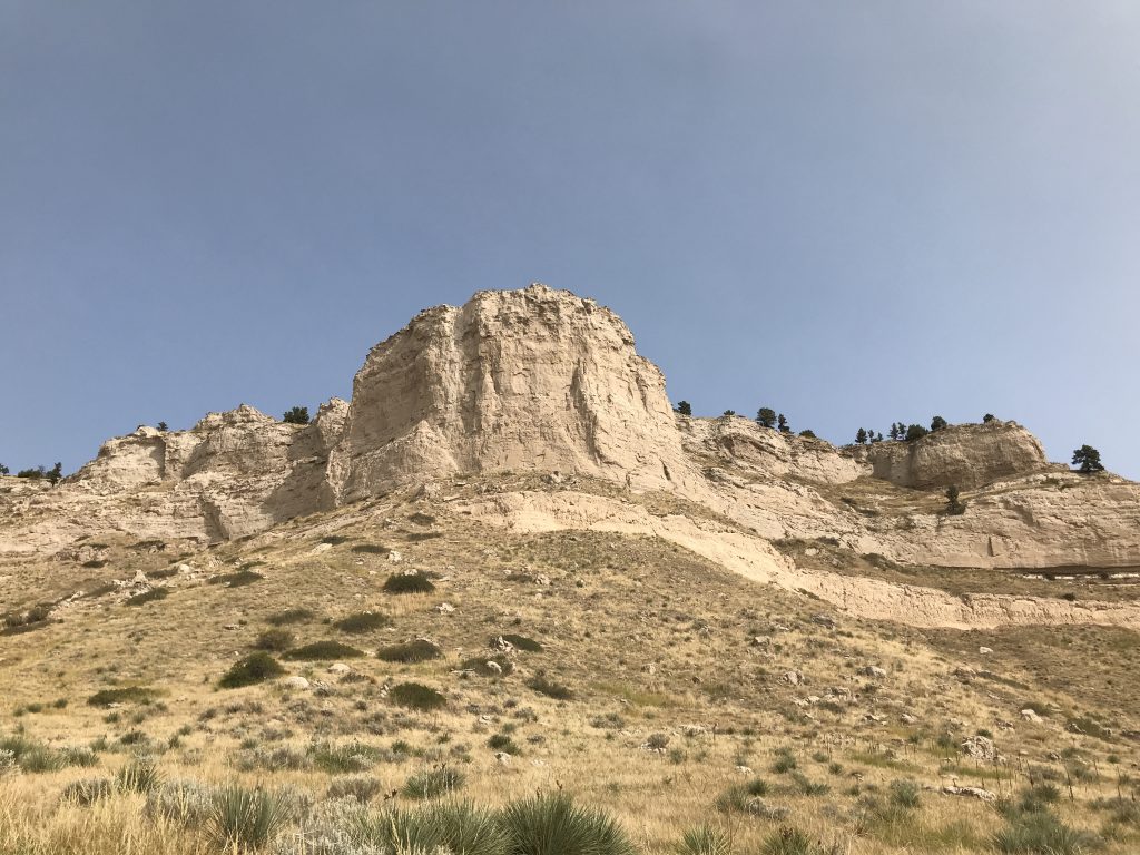
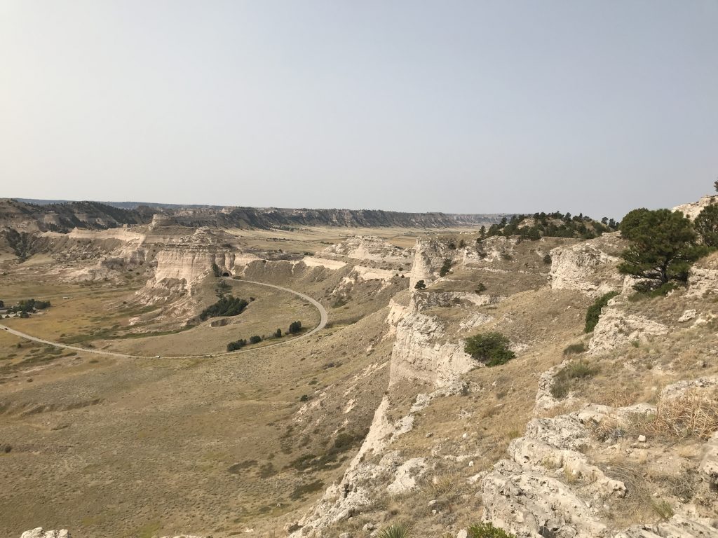
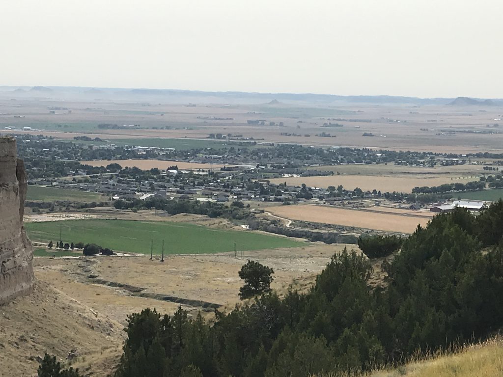
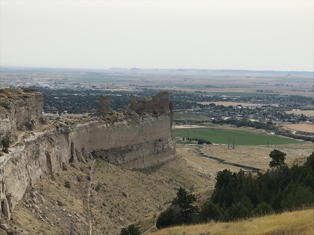
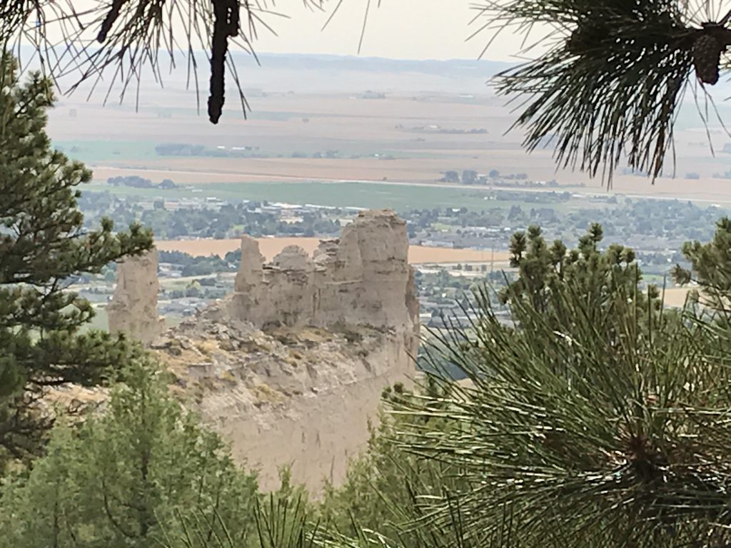
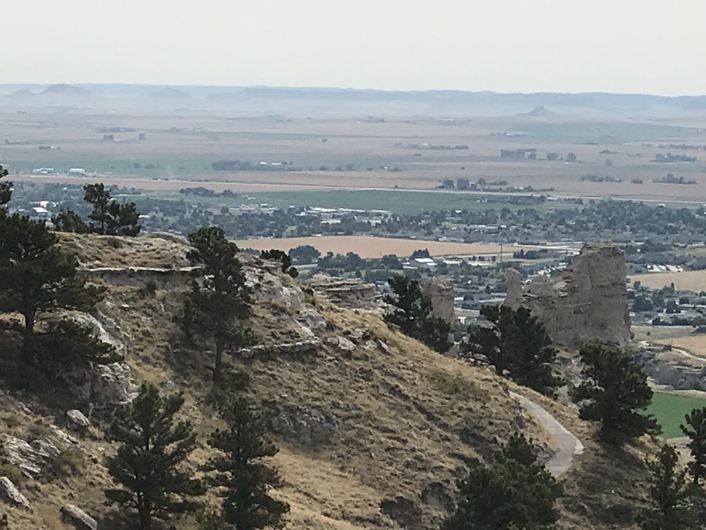
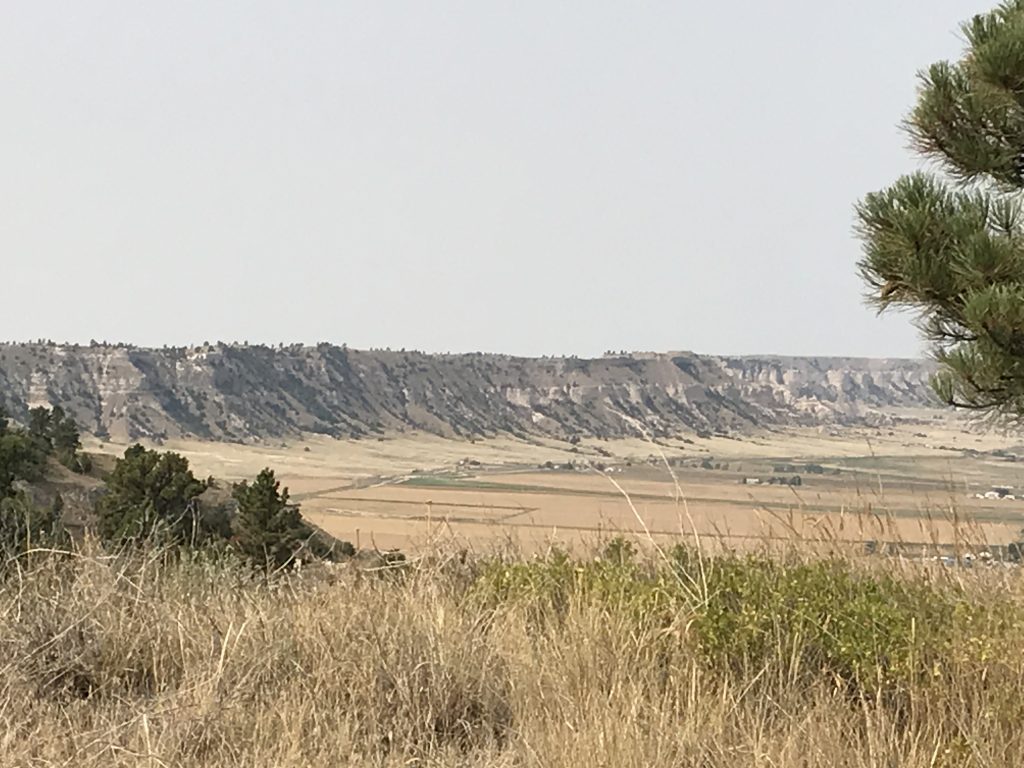
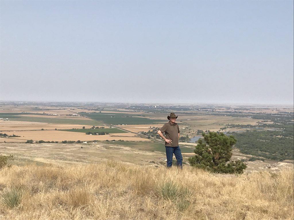
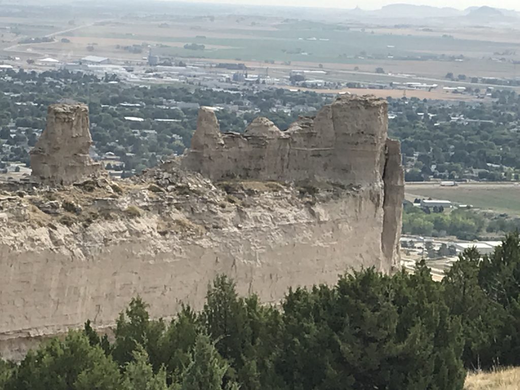
On Tuesday, we got a relaxing start, then headed over to check out Scott’s Bluff National Monument. As you drive through the town of Scott’s Bluff, you see the actual bluff rising up 800 feet above the North Platte River, a long ridge running for miles on the horizon. The drive to the top is beautiful and gives you unparalleled views of the area. This distinctive landmark served an important role in our westward expansion. First serving as a beacon for trail weary travelers, before 1851 it was also a place to make a choice. Wagon trains wanted to remain close to the river, but the bluffs required a detour. They could cross the river on the north side with its fast currents and quicksand, or they could take Robidoux Pass to the south, making a long detour. In 1850 a trail through the ravines on the west side of the pass at Scott’s Bluff opened up a path in the middle and getting them back to the river eight miles sooner. The Pony Express also passed at Scott’s Bluff from 1860 to 1861. After checking out the top of the bluff, I drove back to the bottom and waited for MW to make the hike down. (My knees were still recovering.).
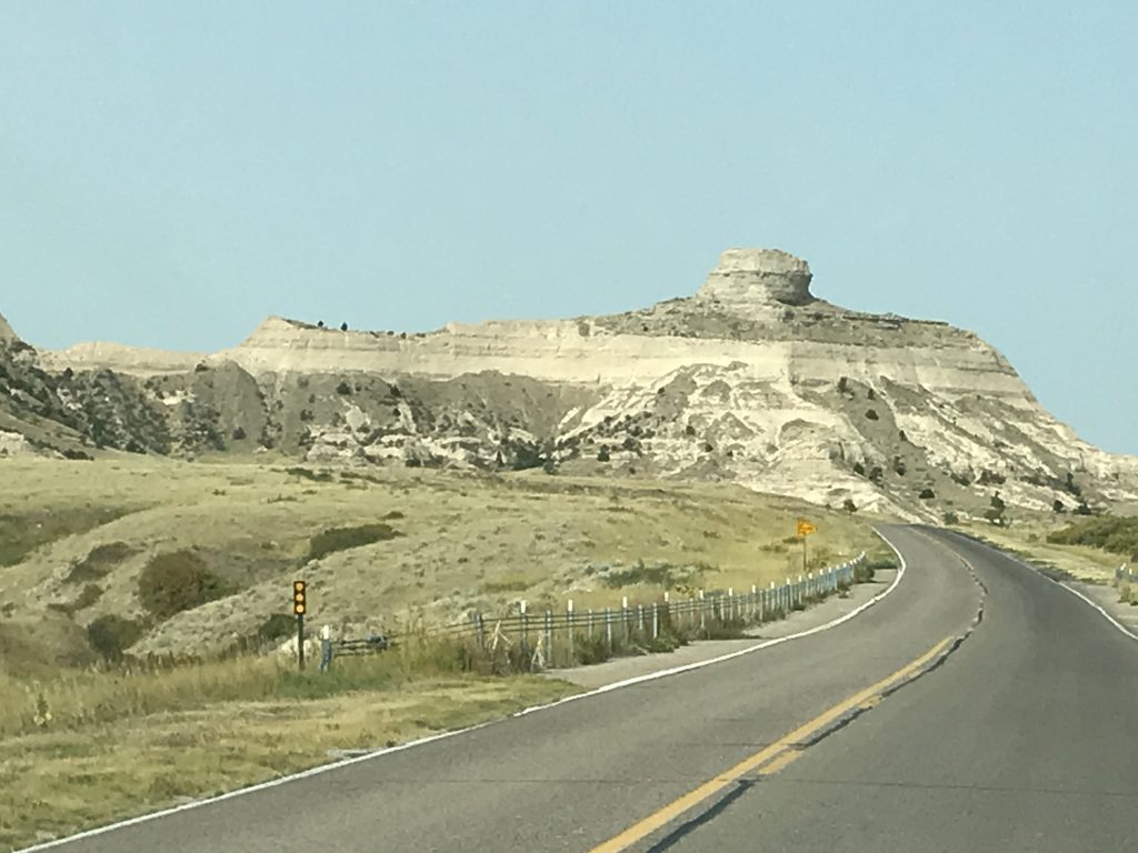

The Shorter Wagon Route
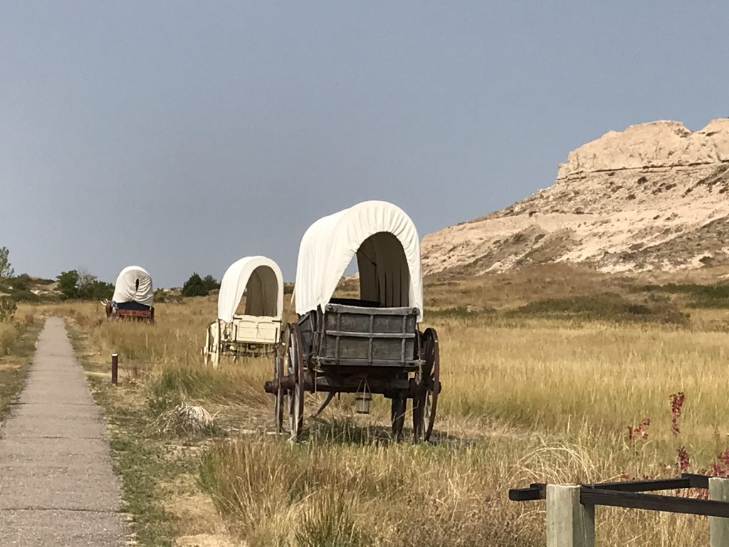
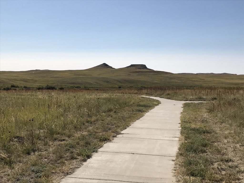
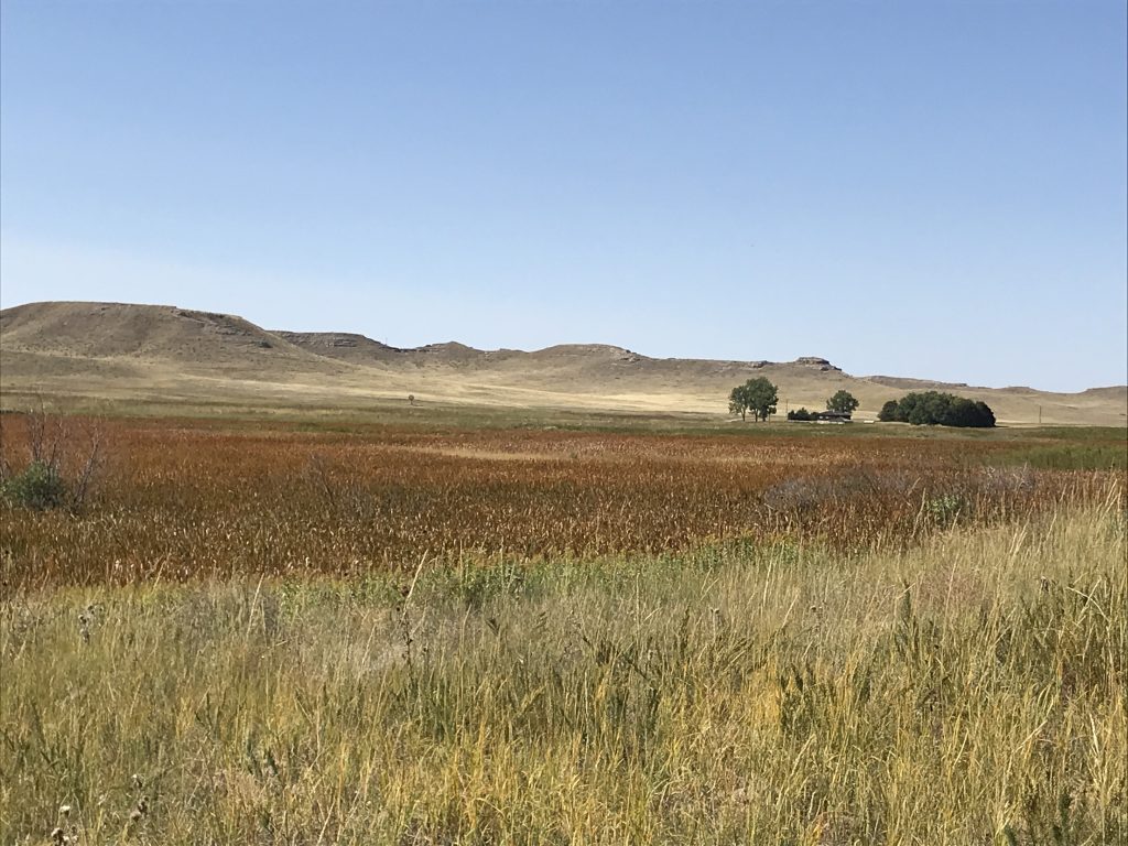
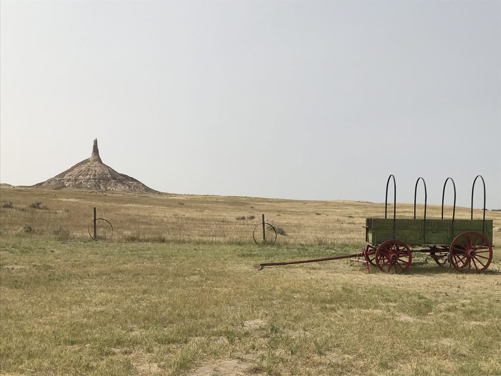
After we finished taking it all in, we headed into Scott’s Bluff, the town, to get a few supplies at Target and have lunch at Shari’s (the Cranberry Pecan Chicken Salad was great, but the ham was too thick on the Cuban). Next we scoped out laundromats, before heading southeast on NE-92 to take a look at Chimney Rock National Historic Site. Then we hit NE-88 to Courthouse & Jail Rocks, all of which were important landmarks along the Oregon Trail, the Mormon Trail, and the Pony Express Trail. We continued west on NE-88, where we saw another fox trotting along as pretty as you please, then north on NE-71 to get back to Petunia. After a long, beautiful day, it was time to relax!
Chimney Rock Courthouse & Jail Rocks
Wednesday was chores followed by relaxation. Nothing much I can say about that. The one interesting thing was the haze that moved in, a result of the wildfires burning out west. It is amazing that smoke travels that far.
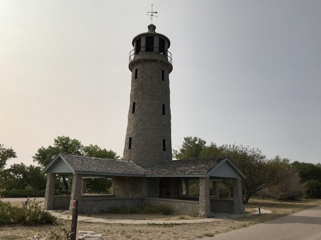
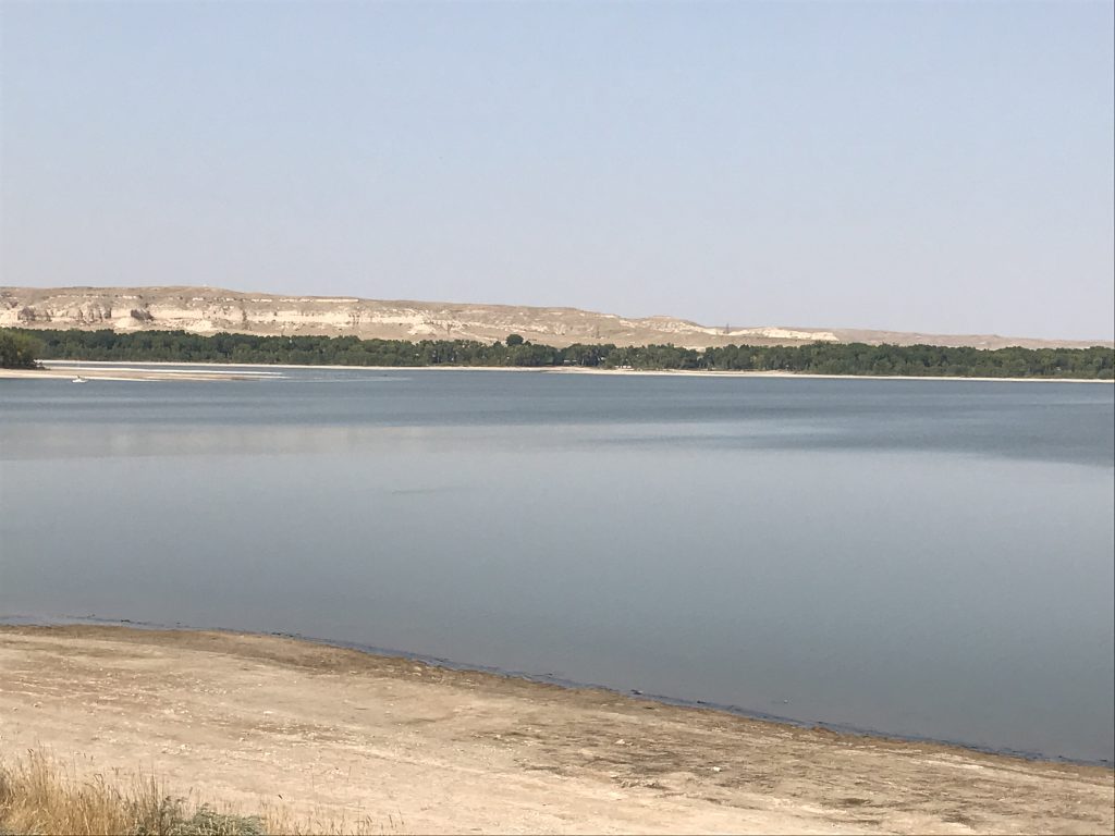
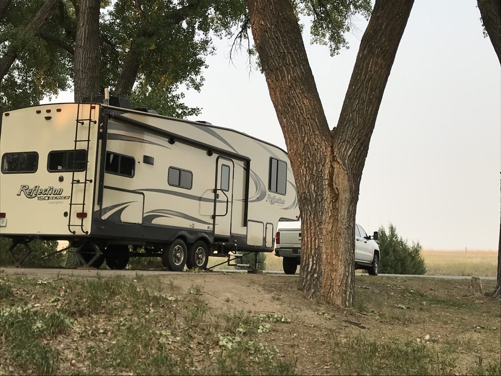
I almost forgot to tell you about the campground. Lake Minatare State Recreation Area is pretty nice. It is home to the Plains Lighthouse, which was built of native stone in the late 30’s by the Veterans Conservation Corps. At 55 feet tall, it is designed to look like a lighthouse on the ocean, but functions as a shelter house and observation tower. The park also has plenty of shelters and picnic tables, 3 boat ramps, a fish cleaning station, kayak rentals, and Scout’s Cabin for large group, day rental. The campground is divided into three sections: Lake View has 52 electric (some 30-amp) sites; Butte View has 49 electric (50-amp) sites; and West Wind has 20 basic (non-electric) sites. There are also numerous primitive sites, including some on the beach. This lake is used for irrigation, so the water level varies greatly. While we were there, the water’s edge was a good walk out and the entire lake was surrounded by a nice sand beach that you can drive on. Judging by the debris and markings on trees, it will sometimes be right along the backside of the sites at Butte View. The facilities were clean with toilets separate from showers. On the Lake View side, they are more centrally located. Fresh water was available at the dump station and both Lake View and Butte View, but for the latter you either had to back in or have a really long hose. The paved sites were fairly level, somewhat spaced out, and beautifully situated among giant trees along the lake’s edge. It is pretty quiet, but still relatively close to Scott’s Bluff, which is a descent-sized town. The only negatives we saw were: 1) You had to pay to use the shower (.50 for 3 minutes and .25 for each additional 90 seconds), which we’ve only seen a couple of other times (Badlands National Park and Yakima Sportsman State Park). 2) The bathhouse for Butte View was up at the main road, which would be almost a mile walk from the furthest site. All-in-all, it’s a beautiful location, and we would stay there again. 3) There is one dumpsite for the entire lake located outside of the campgrounds.
Super Hazy! Lake Minatare
Our Site Petunia from the Beach
High Water Mark It’s Up There!
Lake View Sites Surrounding Area

Whew, that was a lot in a few days! Next up…Snow, Wildfire, and Wind. See you on the path!
Talisa
P.S. If you enjoyed this blog, like and follow us below, and please SHARE, SHARE, SHARE on social media!
Leave a Reply