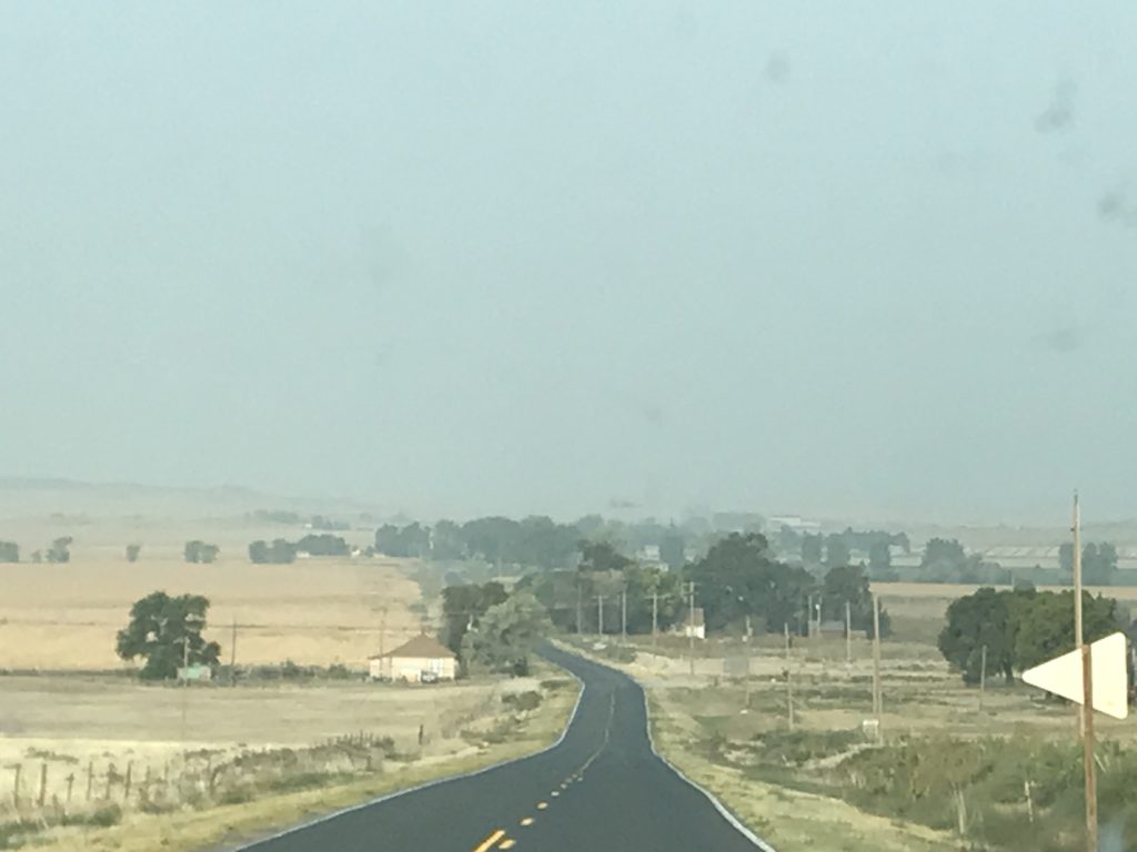
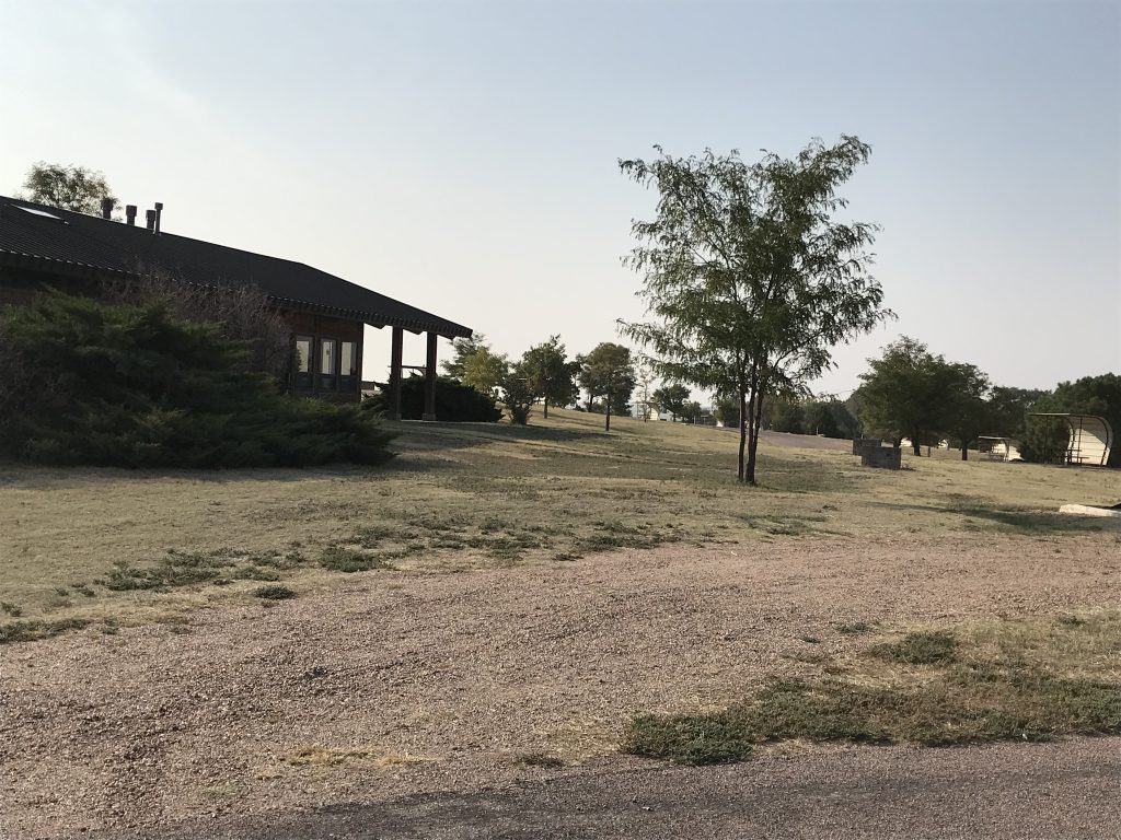
Thursday we didn’t have too far to travel, so we hit the road about 8 AM. Although you couldn’t smell smoke, evidence of the fires on the west coast was still hanging over western Nebraska. Everything was hazy, and visibility was terrible. Scott’s Bluff, the mountain, was not visible from Scott’s Bluff, the city. Wow!

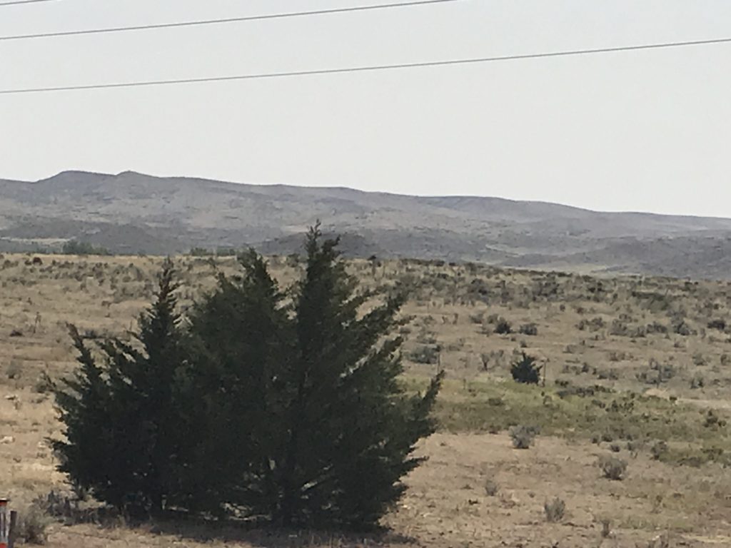
Lots of Smoke
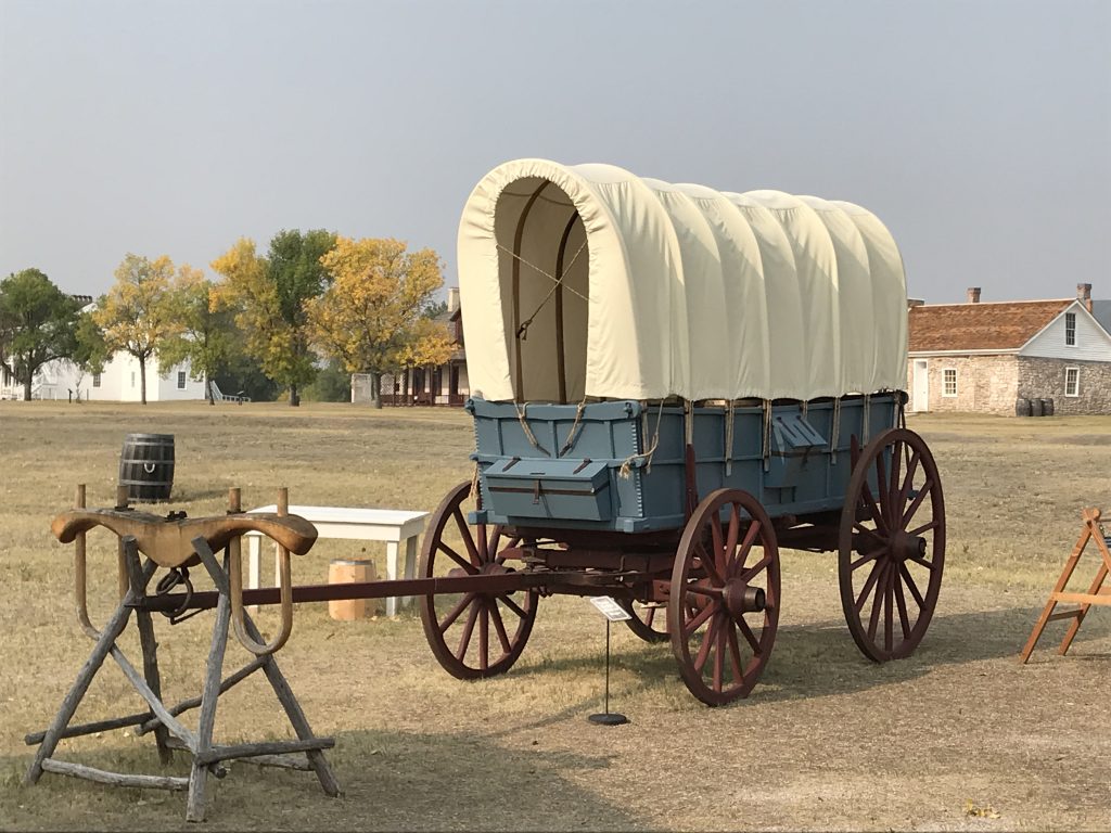
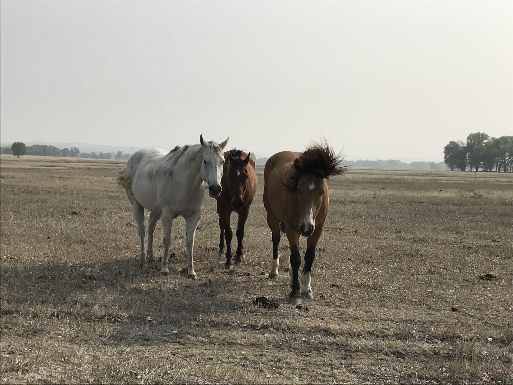
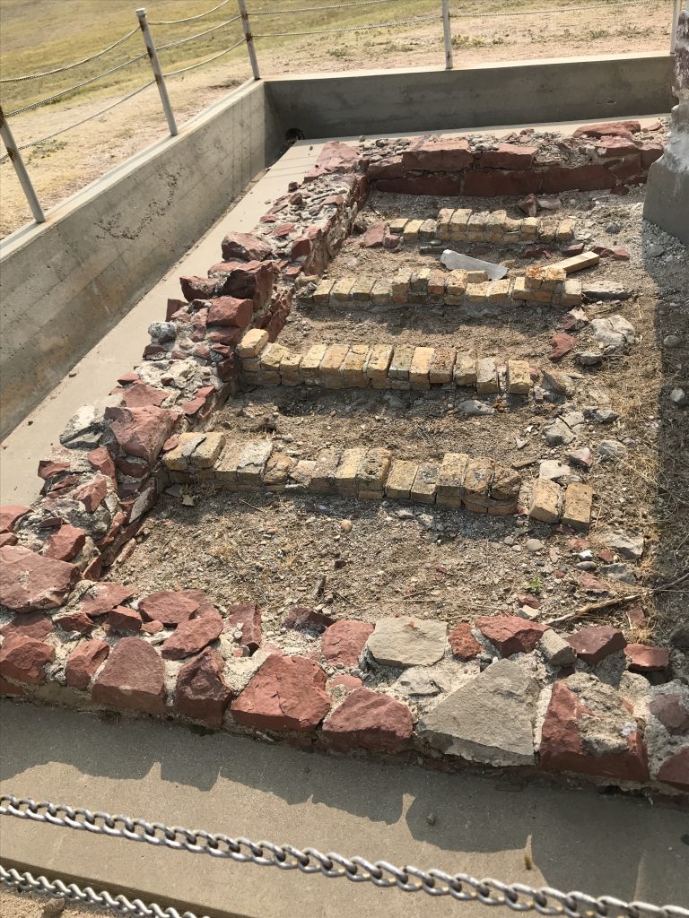
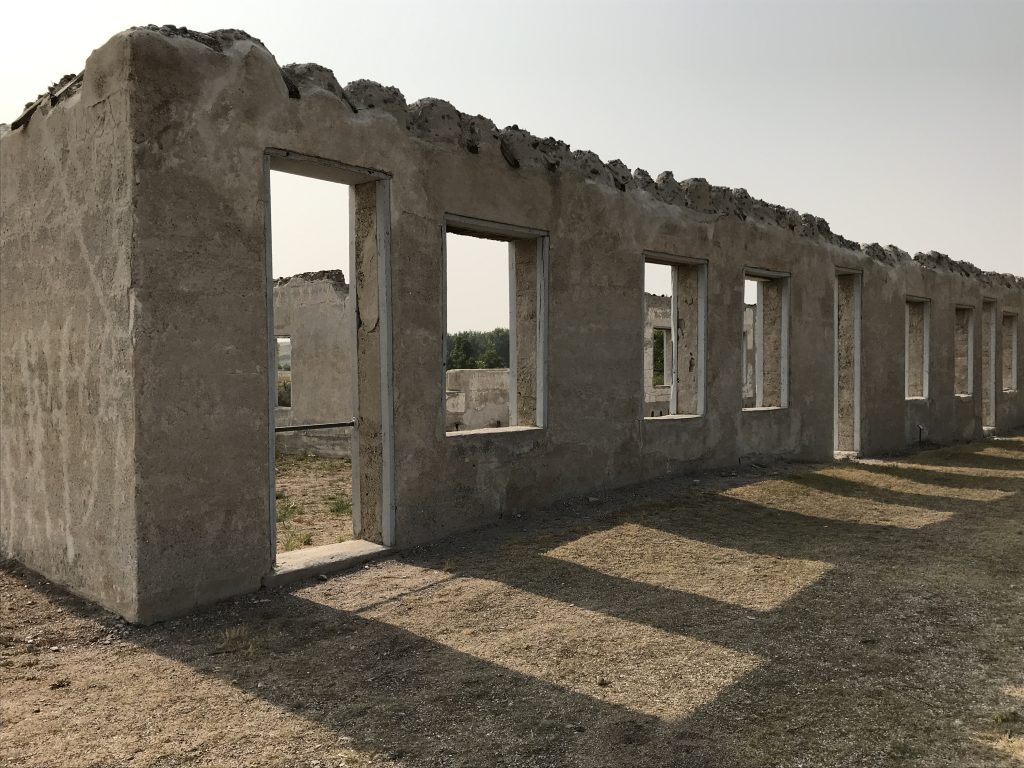
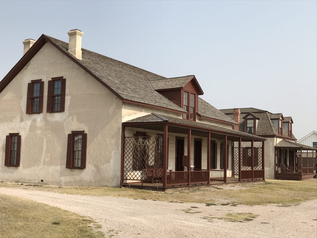
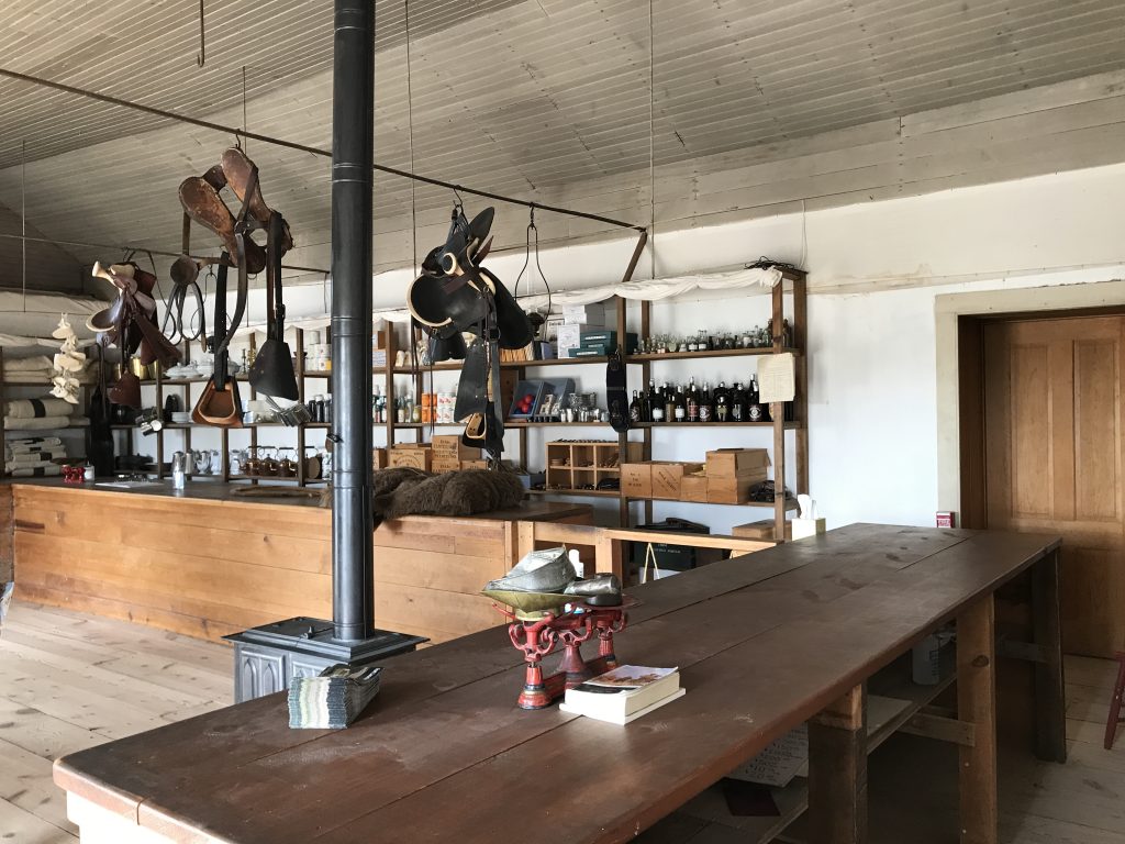
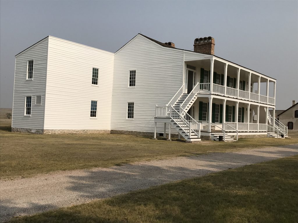
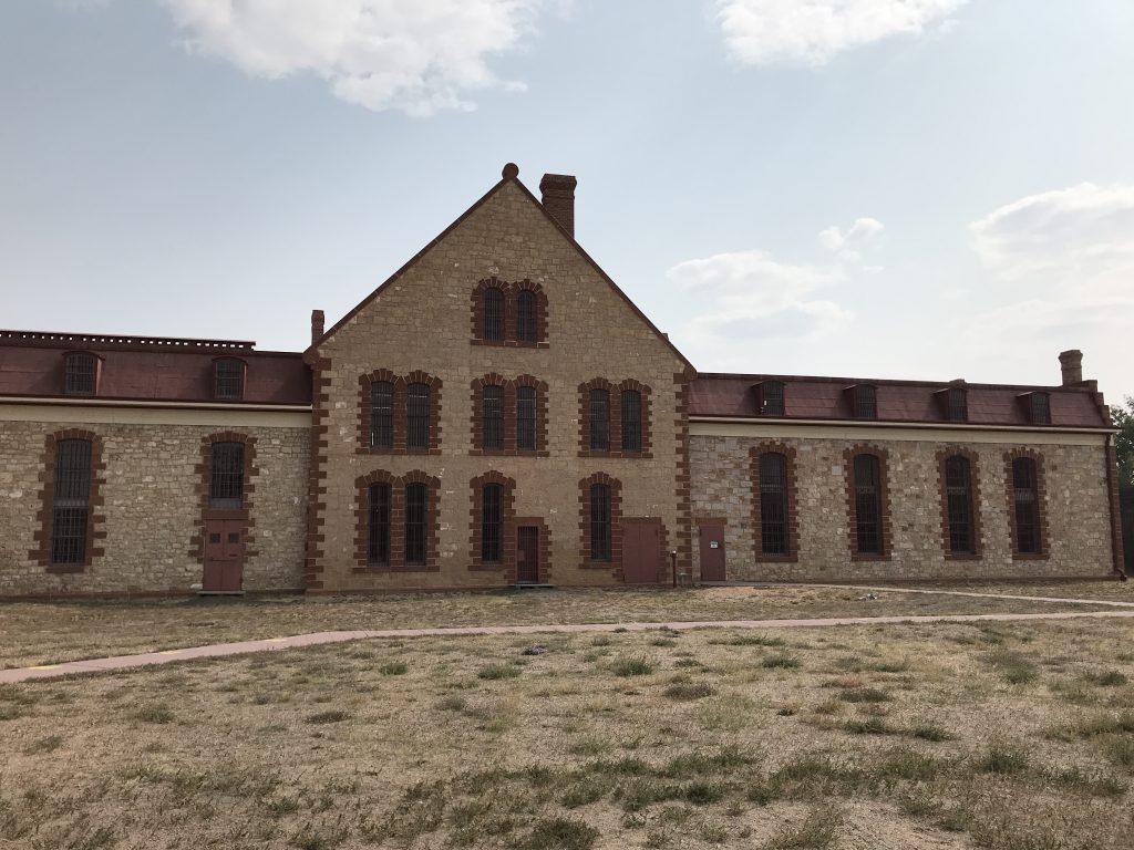
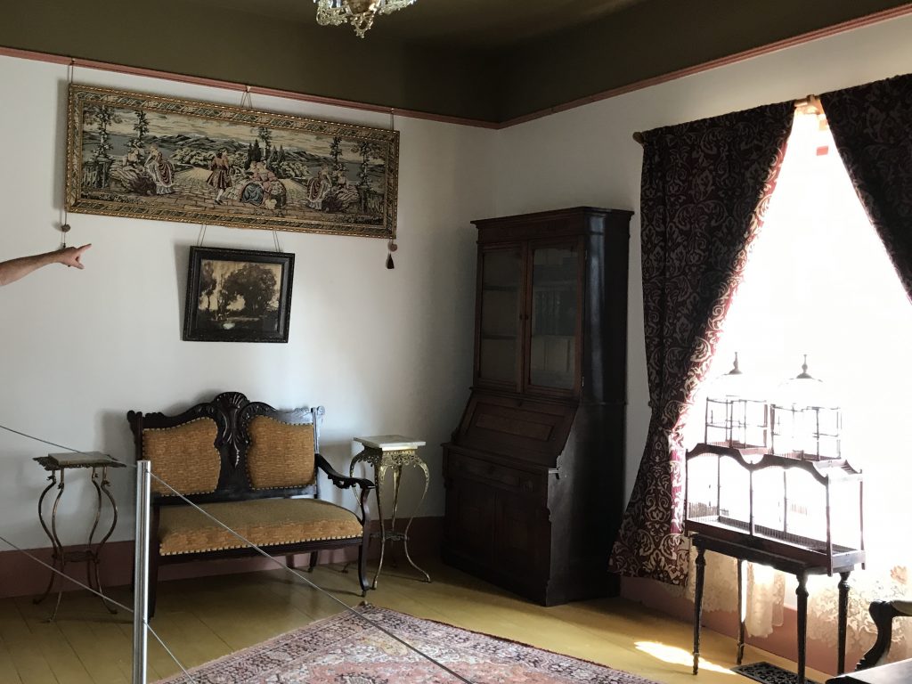
We followed US-26 straight through more rolling farm and ranch land into one of my favorite states…Wyoming! Then made it to our first stop, Fort Laramie National Historic Site, before 10 AM. With humble beginnings in 1834 as a small, 100′ x 80′ trading post named Fort William (and later Fort John when expanded), this post grew into the main military outpost on the Northern Plains. From mostly fur trading with the local tribes, it grew to become a critical stop along the Oregon Trail and the Mormon Trail. The Army arrived in 1849, and it grew into a large facility, serving the military for the next 40 years. In addition to emigrants heading west (an amazing 50,000 a year at the peak), it also hosted stage lines, the Pony Express, and the transcontinental telegraph, and was pivotal during treaty negotiations and the Indian Wars. Walking around the grounds you can’t help but try to imagine what it felt like to be in a wagon on the Oregon Trail. After months crossing rivers, mountains, and vast plains, you make it through the gap at Scott’s Bluff in Nebraska and a week later pull up here. It must have been very exciting! The Fort today has ruins of many of the buildings and eleven that have been restored and furnished as they would have been back in the day. One of the restored buildings is the oldest documented building in Wyoming, built in 1849. The Visitor’s Center is in the old Commissary Storehouse and was actually open and staffed with some very knowledgeable Park Rangers. I speculated about where they kept the whores as we walked across the grounds. (It was the mid-1800s. There WERE whores wherever there were men.) MW (Mr. Wonderful) asked the ranger about local towns for off duty soldiers, and he said there were no towns close enough at the time, but there were a couple of “hot ranches” where the soldiers could enjoy “horizontal entertainment”. LOL What a great line! I enjoyed the walk, and seeing the old buildings. (Especially the solitary confinement ruins. OMGosh! That’d certainly make me toe the line!) I also enjoyed talking to the three resident horses who came to the fence to have a convo.
The First RVers! My Friends
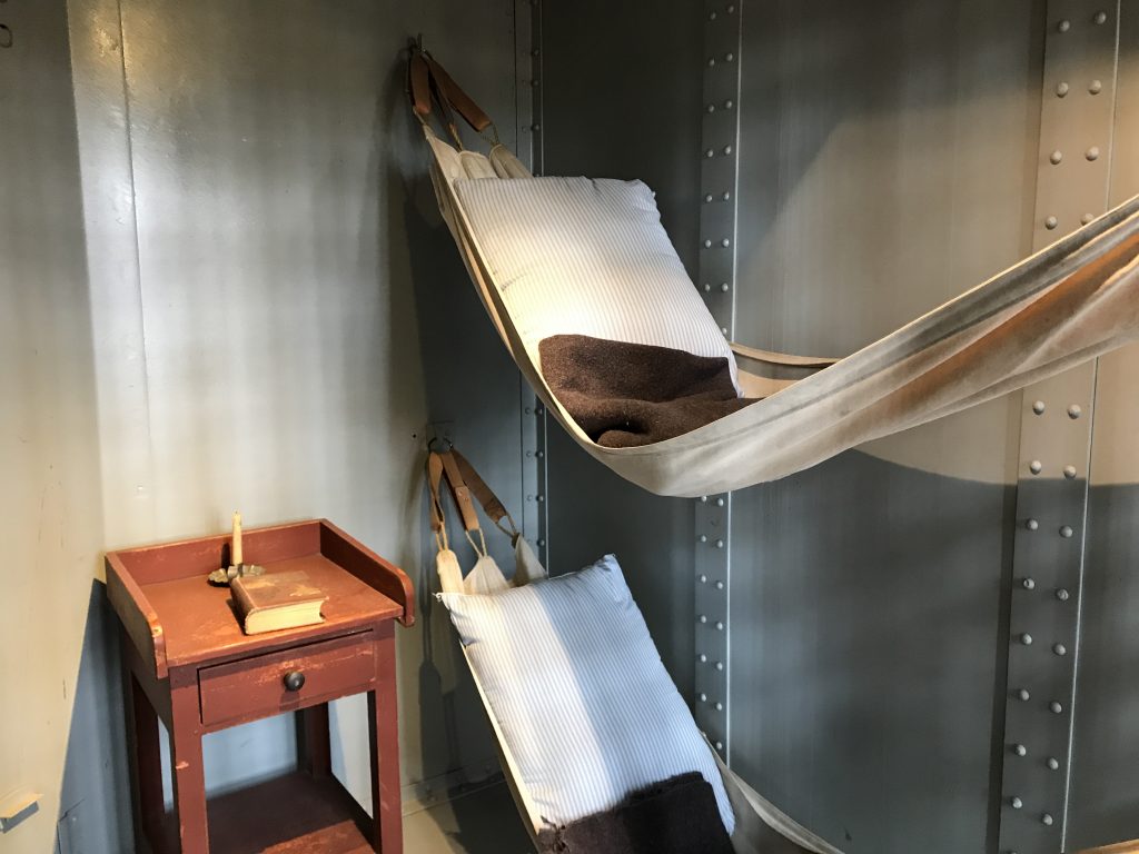
Laramie River Solitary – 5′ L x 2’W x 5’H
Administrative Building Ruins Post Surgeon’s Quarters (l) & Lt. Colonel’s Quarters (r)
Base Commander’s Office Store
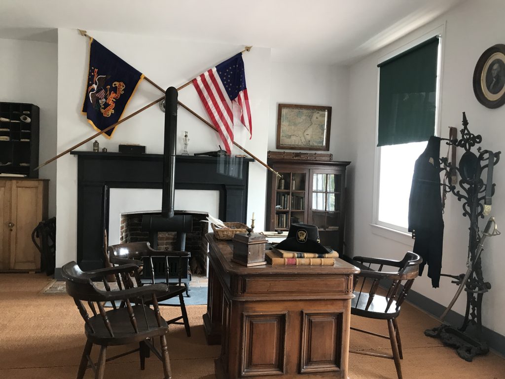
“Old Bedlam”
Wyoming’s Oldest Documented Building
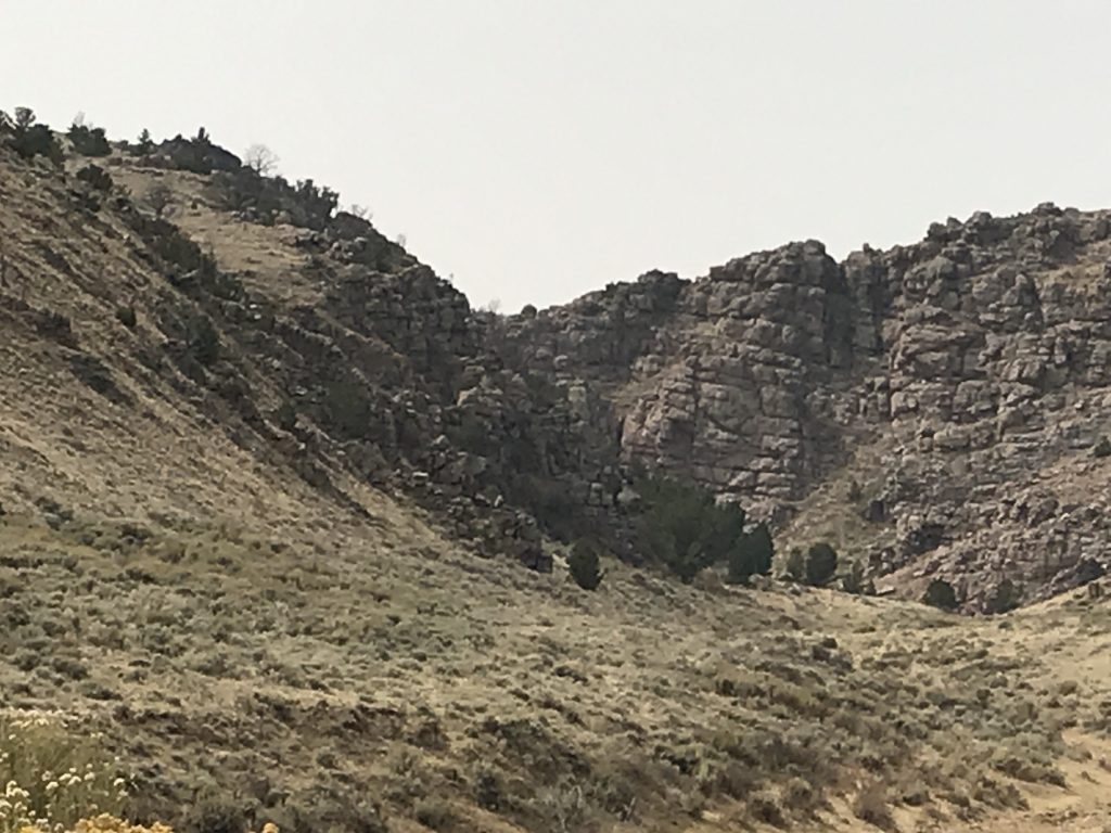
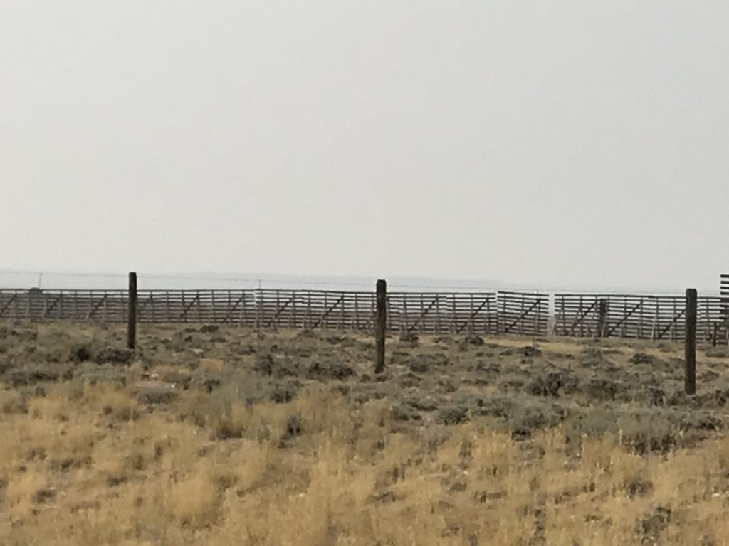
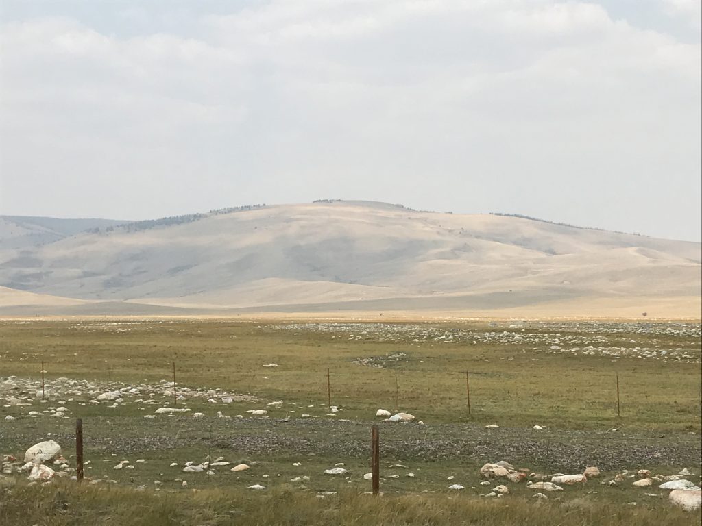
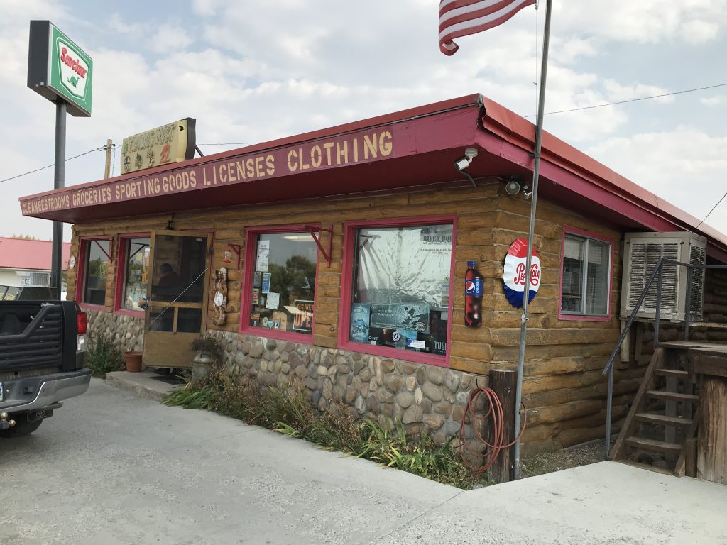
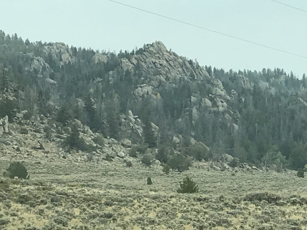
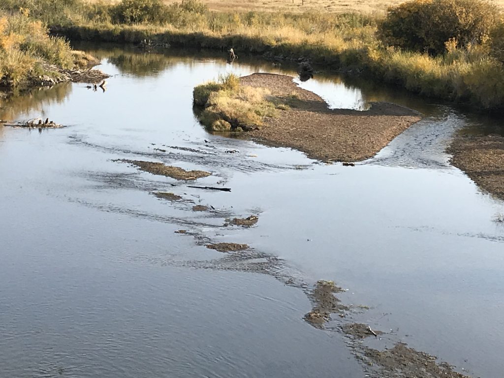
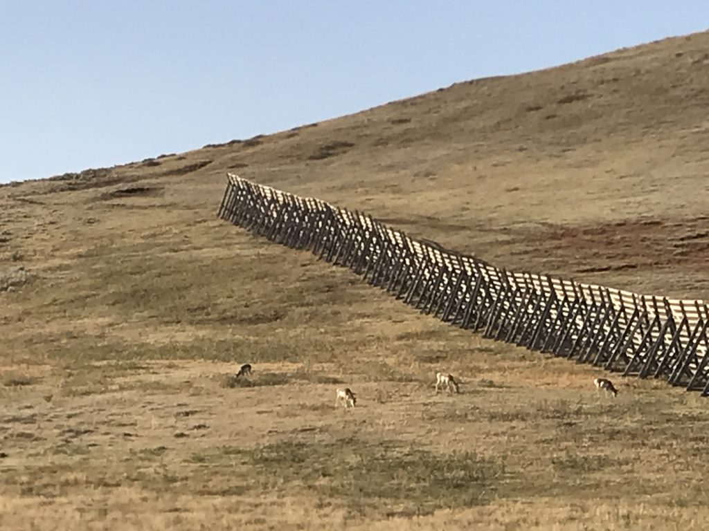
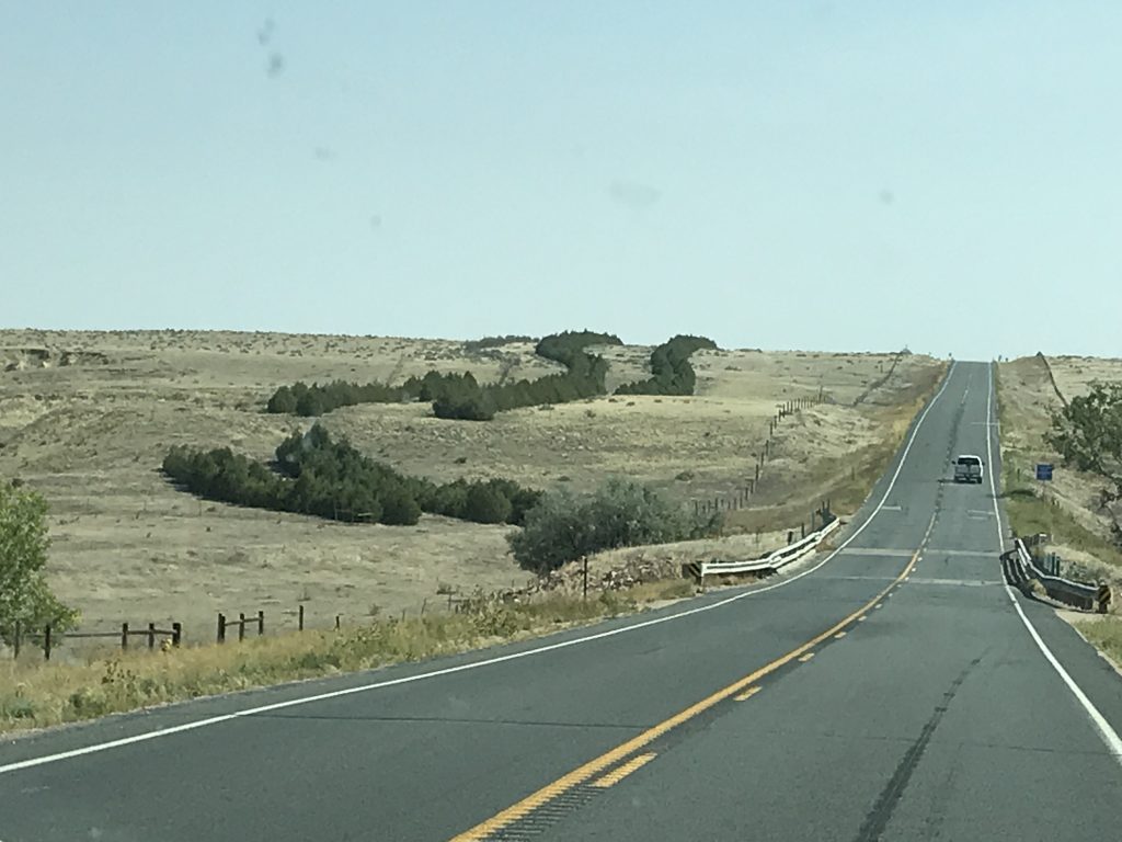
Back on the road, we continued west on US-26 to Dwyer, then turned south to Wheatland where we made a quick stop for fuel and a bite at A & W. Next we headed southwest on WY-34, where the terrain began to change drastically. First, we entered the Laramie Mountains, which are one of many chains that make up the Rocky Mountains. The terrain is very rocky and mostly barren, although there are tufts of grass, and very small trees/shrubs in some areas. After crossing Morton Pass at 7,301 feet, everything completely flattened out and became a high plain (no drifter in sight, though) all the way to Laramie, which sits at 7,165 feet. Snow gates were everywhere, sometimes three or four deep…a glaring statement about the winter weather. The pronghorns really liked the plains, and we saw several large herds and individuals between the pass and Laramie.
Laramie Mountains Rocky and Mostly Barren
Snow Gates Really Flat High Plain
We arrived at our site for the next few days at the Albany County Fairgrounds around 2:30 PM. When booking for this area, all of the state parks were full. MW didn’t like the other options, so he decided to check this out. The campground is similar to parking in a Cracker Barrel parking lot, but on dirt/grass with full hookups. There are no other amenities, and there is noise from the interstate and train tracks, so we had to sleep with the AC on. At $30 per night with full hookups, though, it was fine for what we needed in Laramie. It is just off of I-80, so would be very convenient for someone wanting to just jump off for a night or two. Once set up, it was time to do some work, then relax. I forgot to get a pic before we left, but picture a row of side-by-side, dirt pads right on top of each other. There is also a section of small paved sites (maybe 8), but they wouldn’t fit anything bigger than a pop-up. For the four nights we were there, people came and went, but it was never very crowded.
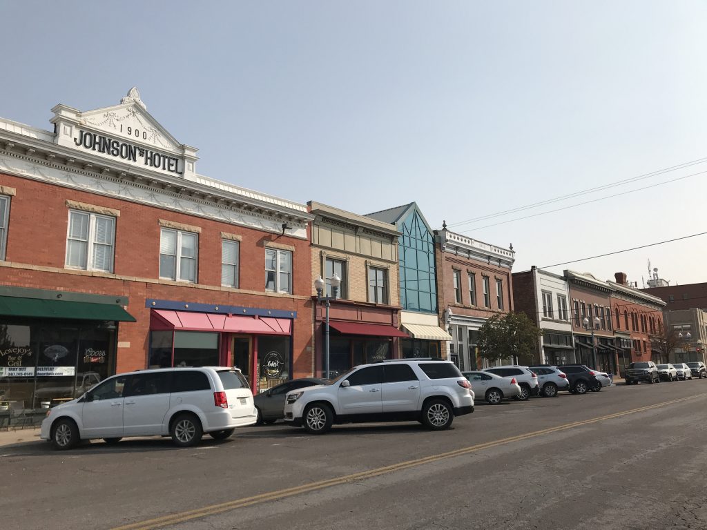
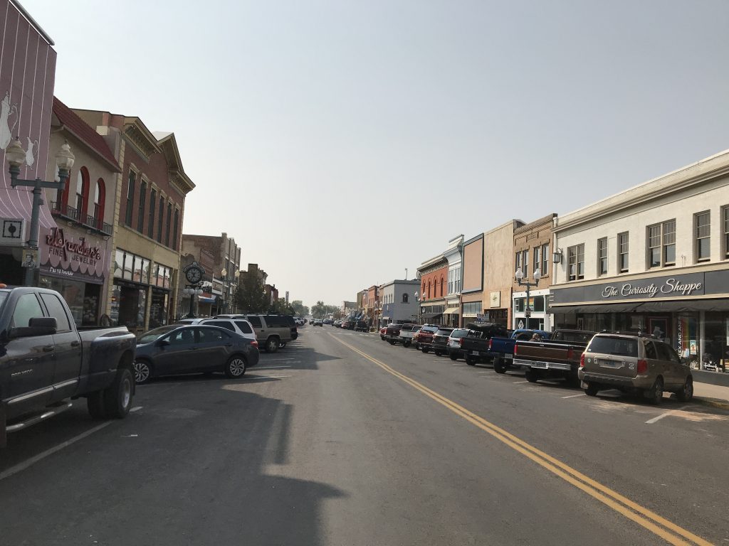
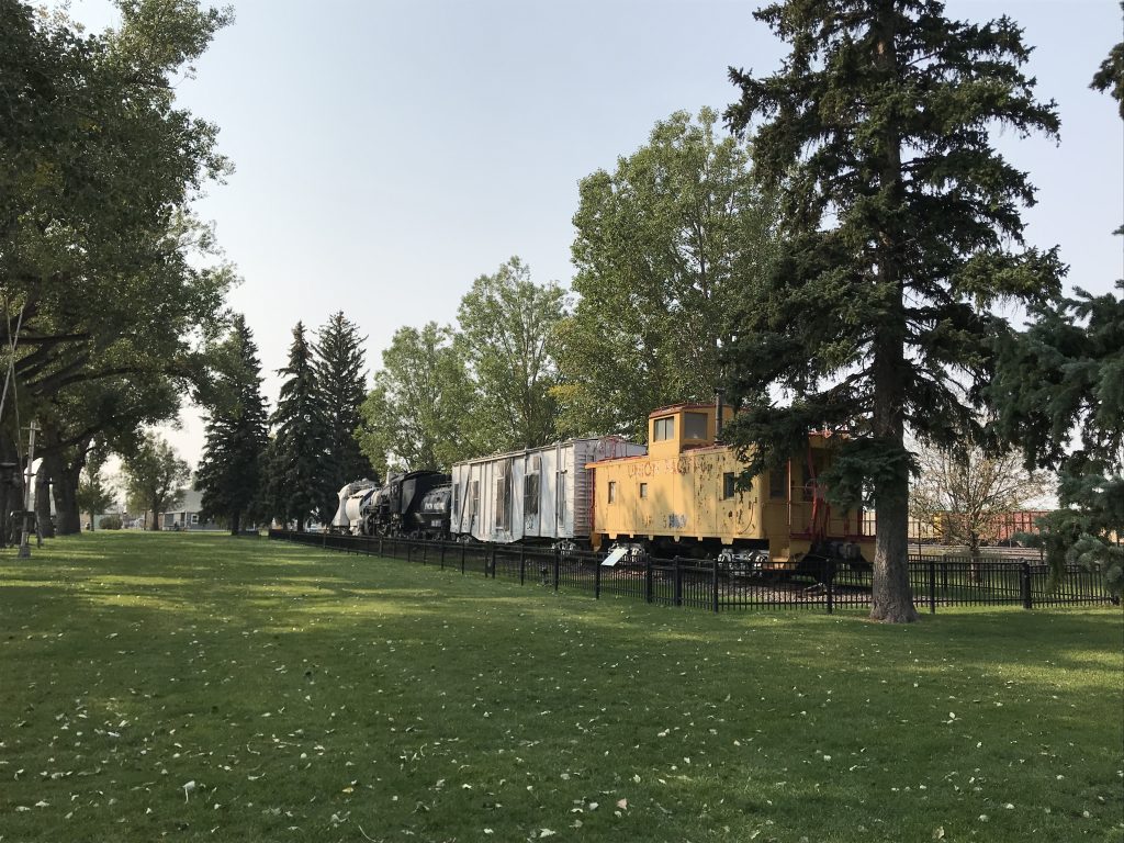
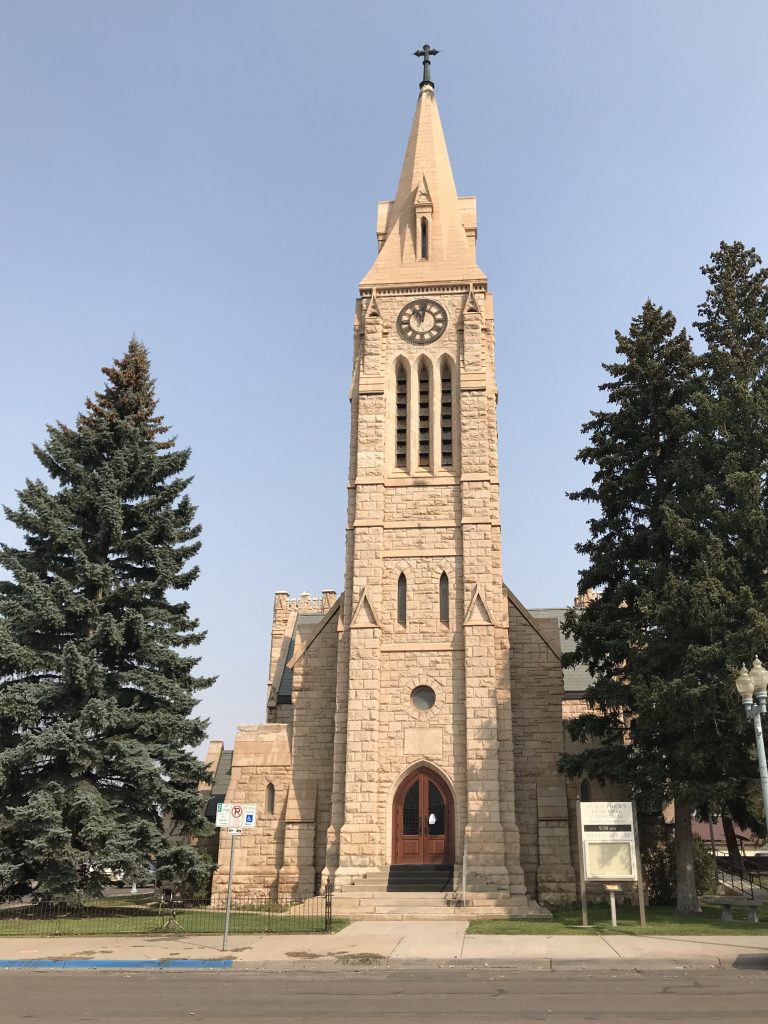
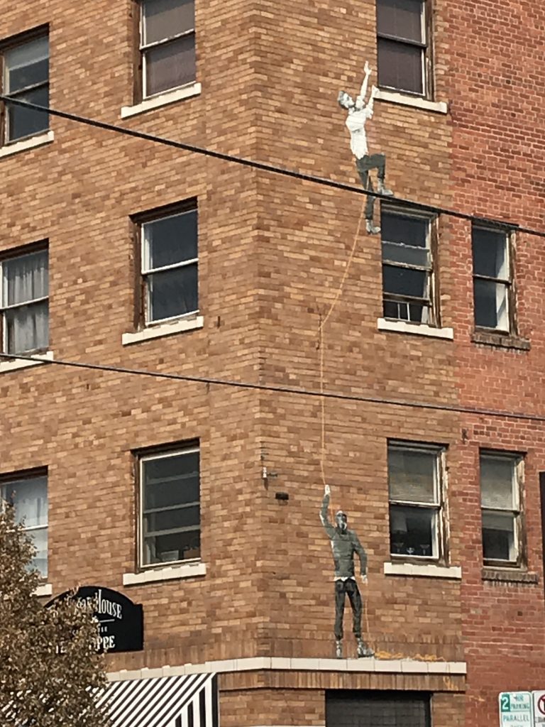
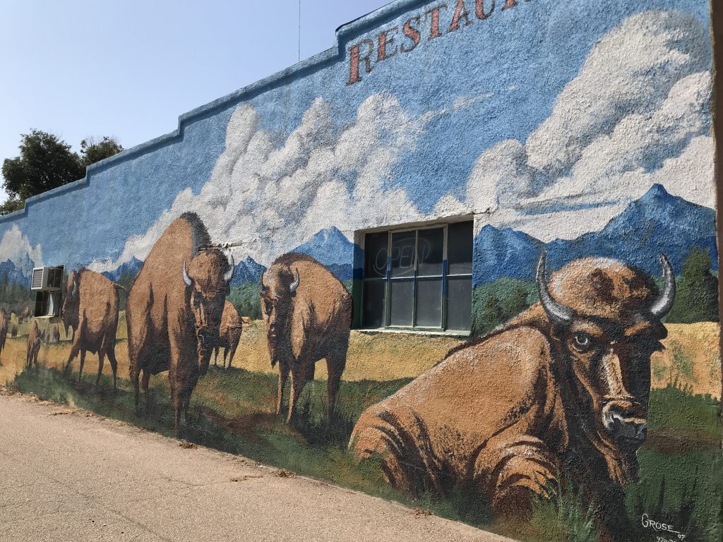
On Friday we headed out a little after 9 AM to the Visitor’s Center in Laramie. Since most of the downtown area opened at 10, we took a walk over to the coffee shop and had a bite for breakfast (nothing to write home about). Next MW wanted to check out the rail yard. Laramie is a huge railroad town, and you guys have to know by now how MW feels about trains. They have a pretty neat pedestrian bridge that goes up and over the huge yard (one of the busiest in the United States). No trains came through while we were up there, though, so that was a bummer. We walked through a nice little park beside the rail yard that holds the old depot museum (closed) and several railroad cars, then through downtown just enjoying the weather (sunny and not too hot). Here are a few Laramie bits: 1) Murals are scattered around on the sides of the old buildings. Most are not the quality of, say, Paducah’s flood wall, but they are pretty nonetheless. We almost missed one painting because it blended in too well. 2) The first women jurors served there in March 1870 after winning the right to vote in 1869. 3) The stage’s Overland Trail ran just west of town. 4) They have a beautiful cathedral built in 1896. 5) Slim and Jess do not now, nor have they ever, lived in or near Laramie. I asked at the Visitor’s Center how to get to Slim’s ranch. While the young lady was trying to judge whether I was being serious, she did not manage to keep the “are you a f*****g idiot” look off of her face. When I let her off the hook, she said that many have come in and asked…for real. (If you don’t know who I’m talking about here, you clearly are not a western fan.) 6) In 1868 Asa Moore and his gang took over the town when the city council resigned. For two months, it was a bloody mess. Then on October 18, the townspeople said enough is enough. They banded together and captured and hanged Moore and three of his henchmen. The rest left town…quickly! That’s one case where vigilante justice was absolutely needed! 7) During the same time period there was a saloon in town that residents called the “Bucket of Blood” because of the number of killings there. My questions: How did it stay in business? Once it had the reputation, who the heck needed a drink that bad?
Downtown The Main Drag
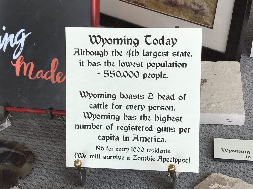
Train in the Park Reasons to Live in Wyoming (from a store window)
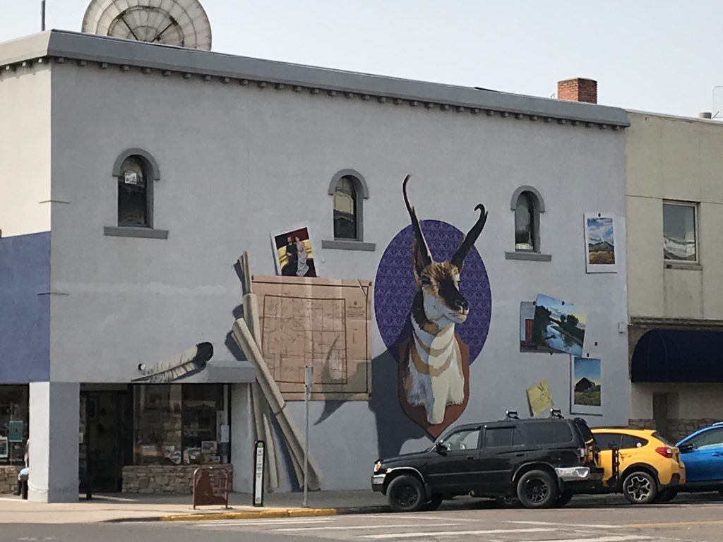
My Favorite Mural – Love the Pronghorns!
St. Matthew’s Episcopal Cathedral Almost Missed These Guys
SQUIRREL! I’m still stuck on “Laramie” (the show) so I’ll give you a couple of interesting side notes: John Smith starred as Slim Sherman alongside Robert Fuller (later the doctor in “Emergency“) as Jess Harper. Note 1: Slim’s little brother Andy was played by Robert L. Crawford, whose brother Johnny played Mark McCain on “The Rifleman“. Both were nominated for Emmys the same year; Johnny as Best Supporting Actor for “The Rifleman”, and Robert as Best Single Performance for “Playhouse 90“. Note 2: Robert & Johnny’s Dad was a film editor named Robert L. Crawford, Sr. Amazingly, he was nominated for an Emmy in the same year as his two sons for Best Editing for “The Bob Cummings Show“. What a family night that must have been! Note 3: John Smith was born Robert Errol Van Orden. His agent, Henry Wilson, said that there were too many “Van” names in the business at the time (Van Dyke, Van Patton, etc.), so partly as a joke, Robert chose John Smith. When he went before the judge to make the change, he was asked why he would choose such a plain name. He said he would certainly be the only actor named John Smith. That has been true up to now, but he would probably have been the only actor named Robert Van Orden, too. I say as long as he looked like that, his name was unimportant!
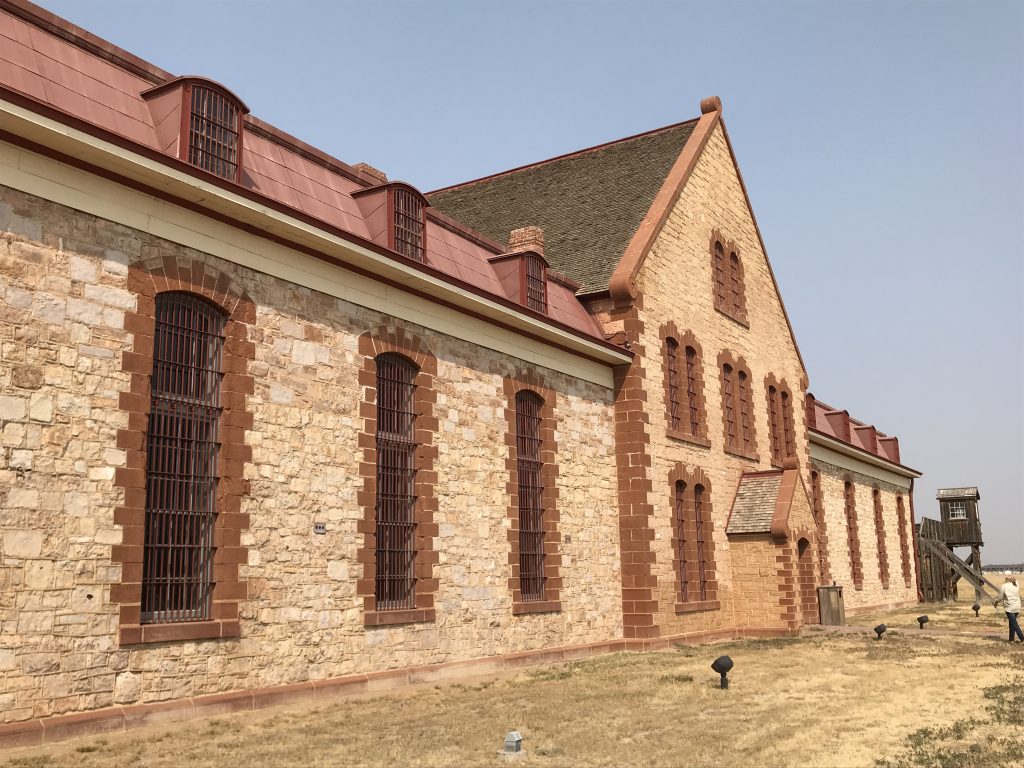
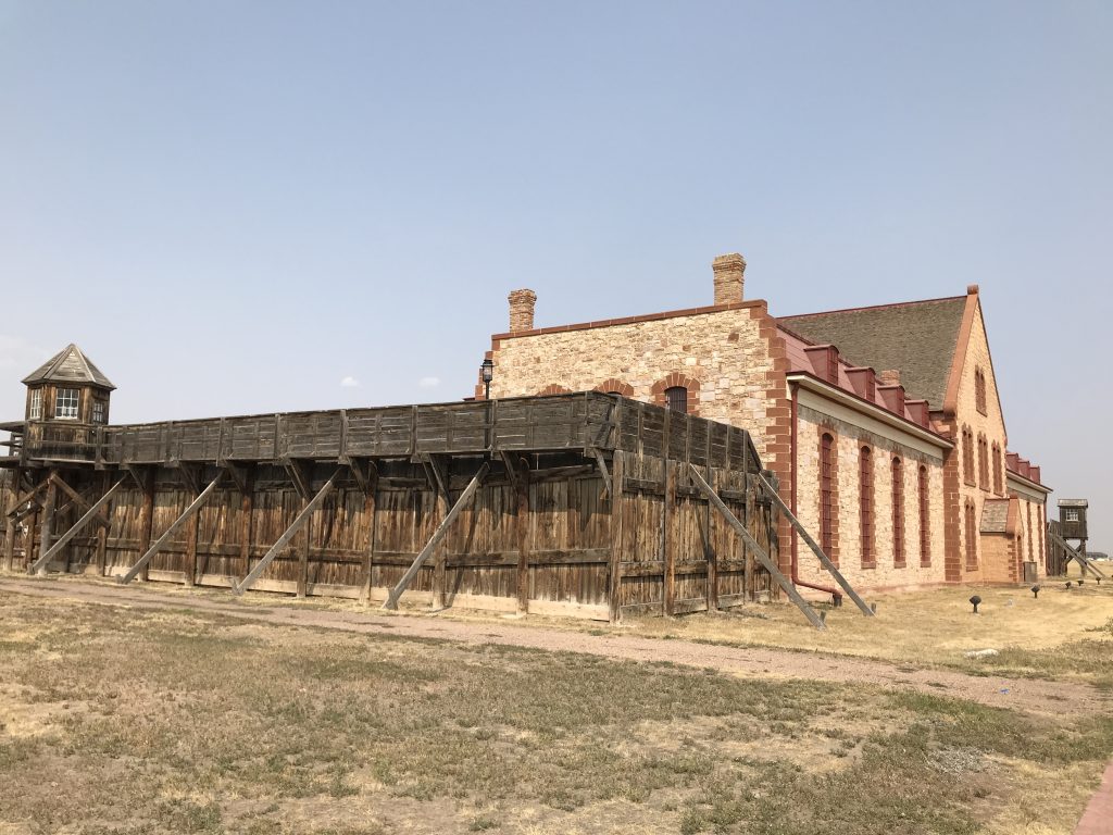
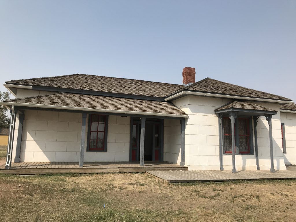
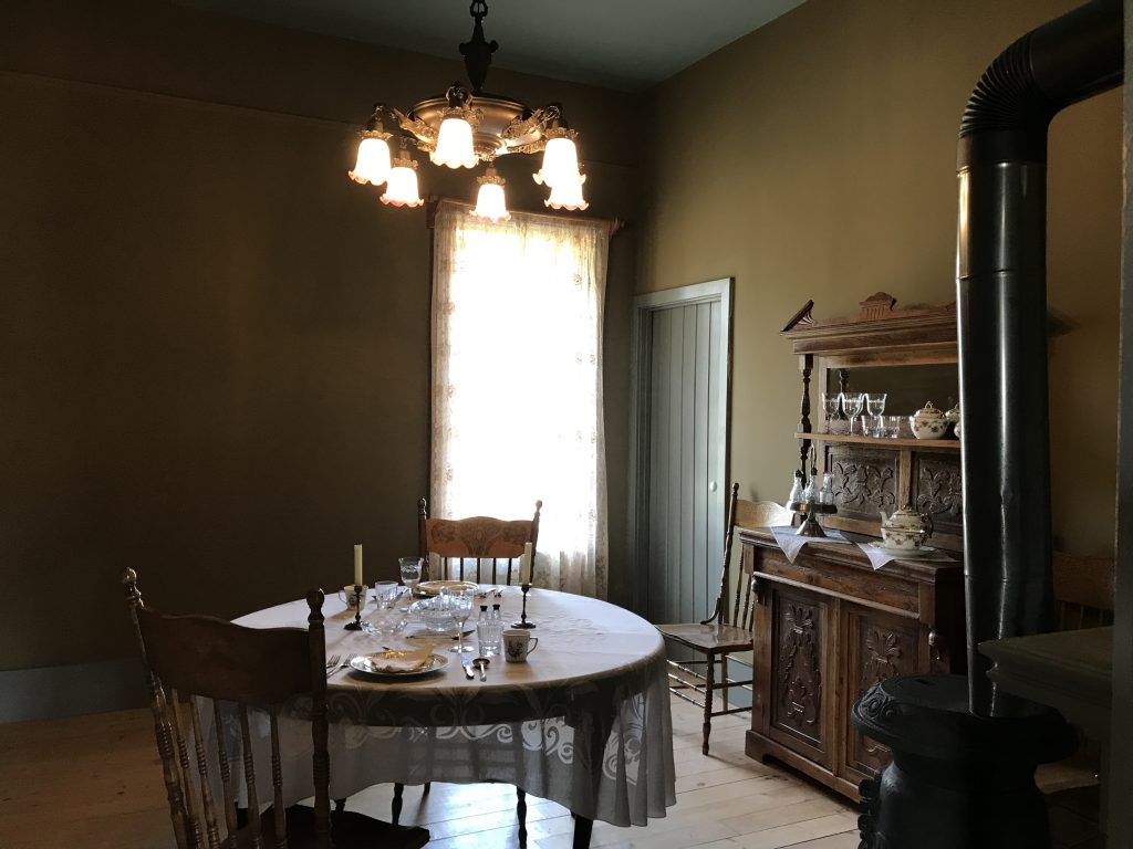
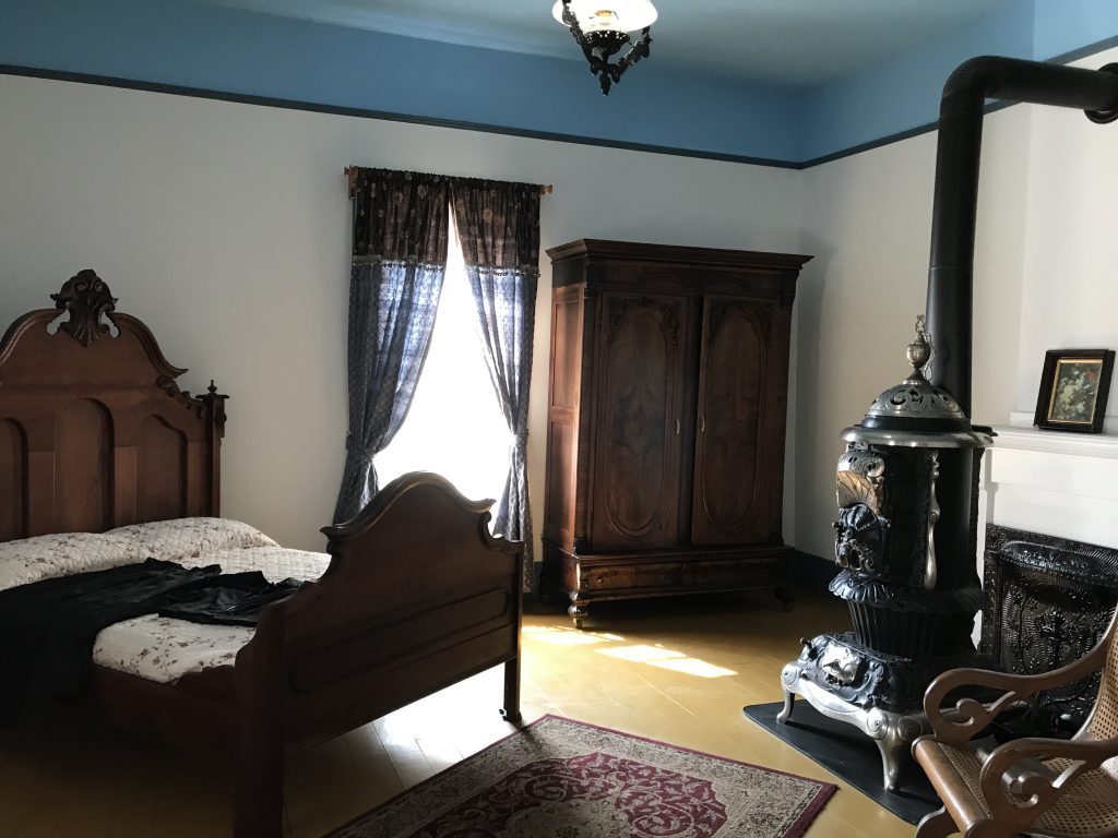
Okay, back on track. In almost every western based in the Wyoming area, there is mention of the Territorial Prison. Imagine my surprise when I found out that THAT prison is in Laramie…AND YOU CAN TOUR IT!!! Seriously! Butch Cassidy was one of the hundreds of prisoners to grace its walls, albeit forcefully. We headed over to check it out. Built in 1872, the Wyoming Territorial Prison housed serious and not so serious outlaws for 30 years. In 1903 the abandoned prison was given to the University of Wyoming and was used as their Agricultural Experiment Station until 1989. The site includes the original prison building, the Warden’s House (built in 1875 with convict labor), the Prison Industries Buildings (built in 1892 using convict labor), the Horse Barn (built in 1910 by the University of Wyoming), and a representation of an early Wyoming Territory town. While this prison doesn’t feel haunted like Alcatraz, it is fascinating to walk through, read the stories of some of the inmates, and try to imagine what it was like. The view west is of the mountains, and before the stockade (surrounding wall) was added in 1875, a quarter of the prisoners escaped in that direction. Corruption and a lack of vigilance within the guard ranks played a role in prisoners walking off in a multitude of ways. My favorite was the guy who, having earned a good degree of trust, was allowed to keep a pet antelope in a pen outside the walls. One night he went out to feed the animal, wedged the door shut so no one could get out, and just simply walked off never to be seen again. The warden at the time (Schnitger) said: “Well, they will slip away from us even with the utmost vigilance…nobody escaped here because he was allowed any privileges.” Isn’t that exactly how he escaped? It reminds me of that Blake Shelton Song, “Ol’ Red”. To keep prisoners busy, there was a library furnished by the citizens of Laramie, church services, and occasional instructive lectures from university faculty. Tobacco was distributed weekly, as were bath privileges in summer, although in winter the latter happened every two weeks. Peeeeew! The prison attempted some industrial pursuits to help with the budget. The only one with any degree of success was the broom factory. Prison income also came from contracting the inmates out for labor, but escape attempts stopped that. Punishments could be harsh, including total darkness, being manacled to the cell door, being hung from the ceiling by both hands for hours, solitary confinement, or high pressure water dousing for up to 15 minutes at a time. Although use of the most drastic measures was unusual, it was no picnic for those who did not want to follow the rules or just simply irritated the wrong person. We thoroughly enjoyed spending time here. Also, for you RVers out there, they did not have a campground, but inexplicably had a dump station and fresh water spigot set up in the parking lot. There was a line to use it the entire time we were there, so people are learning about it from somewhere.
Original Prison Building
Stockade Inside the Walls
Warden’s House Warden’s Dining Room
Warden’s Bedroom Warden’s Parlor
Processing Room Warden’s Office
Bathroom Cell
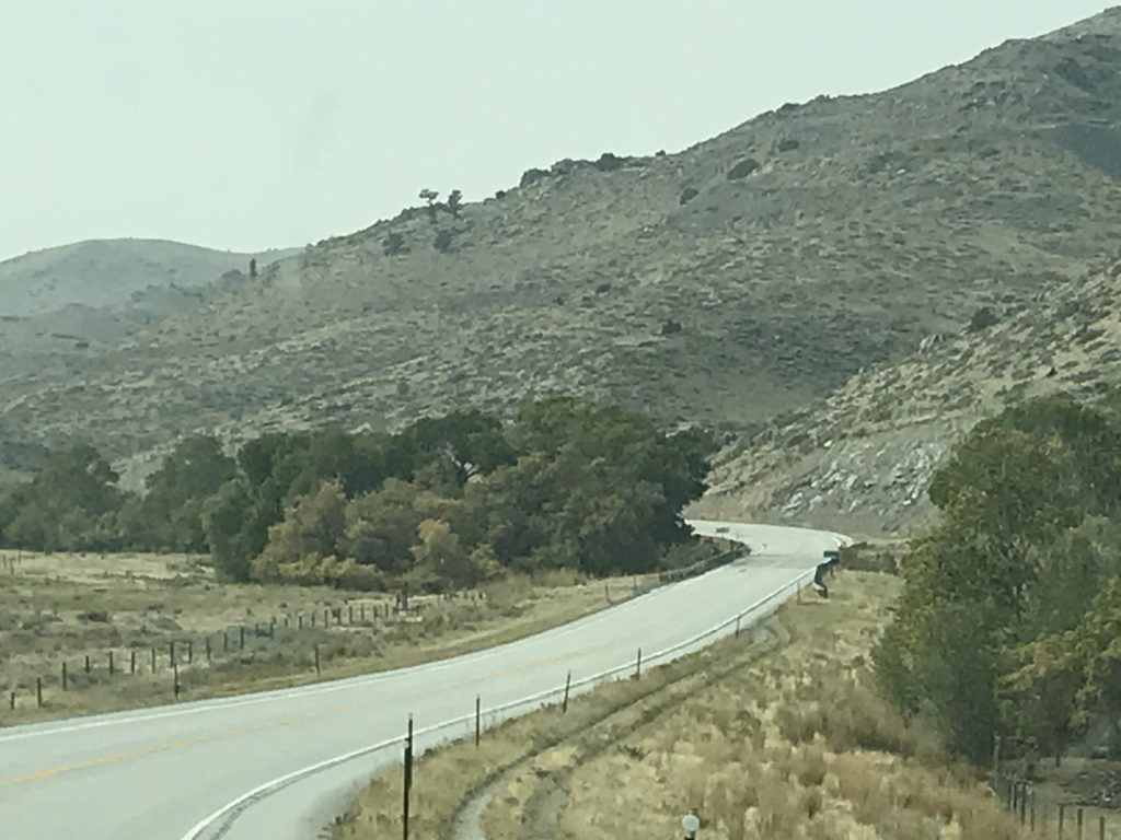
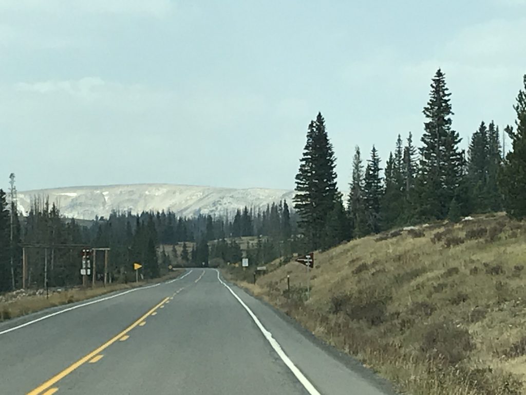
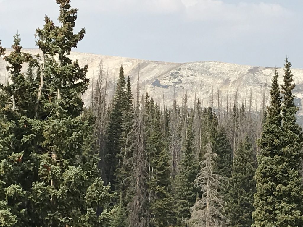
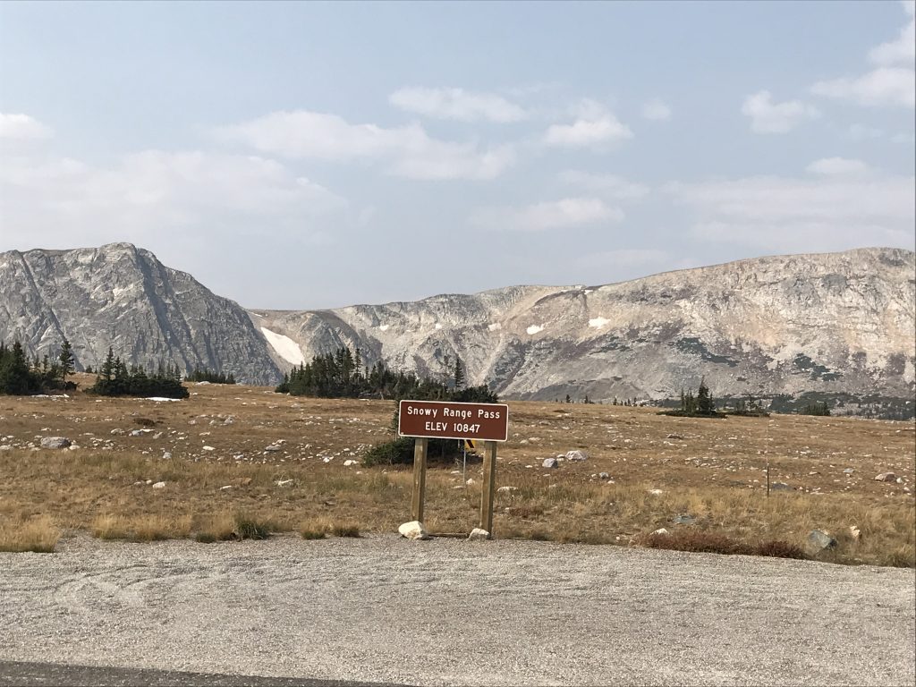
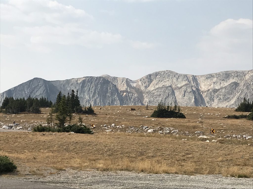
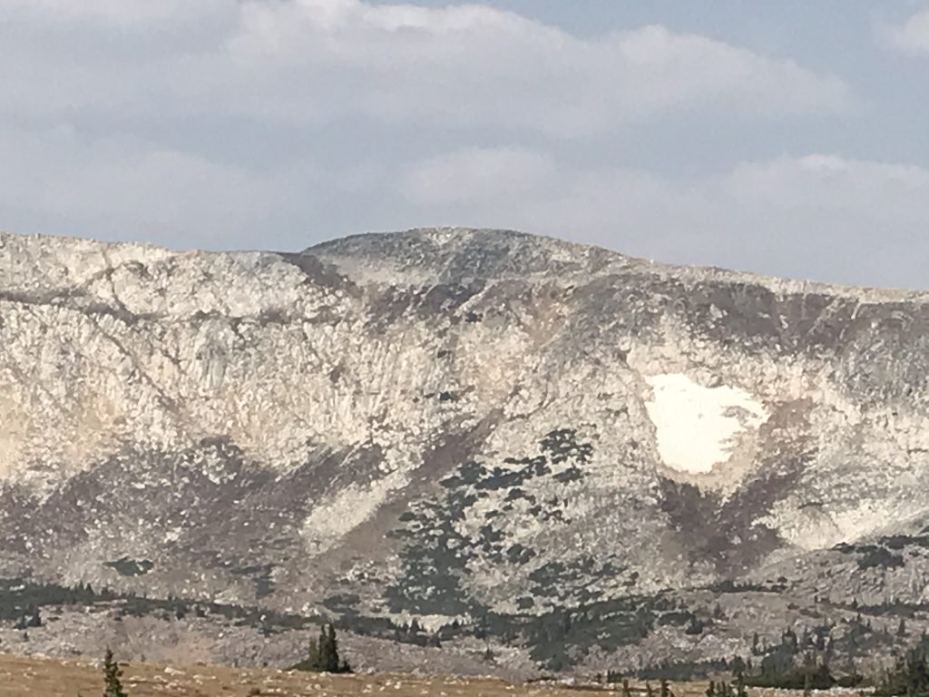
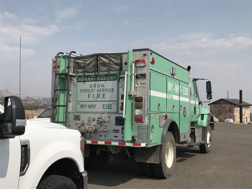
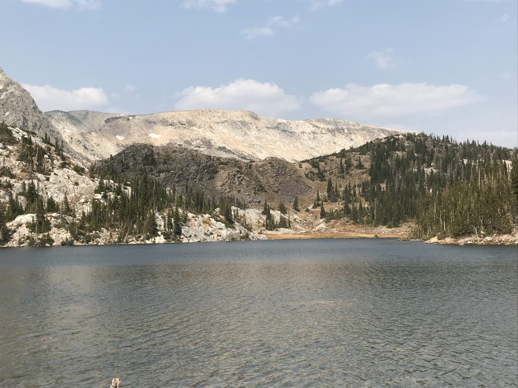
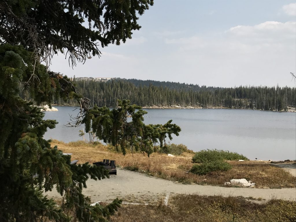
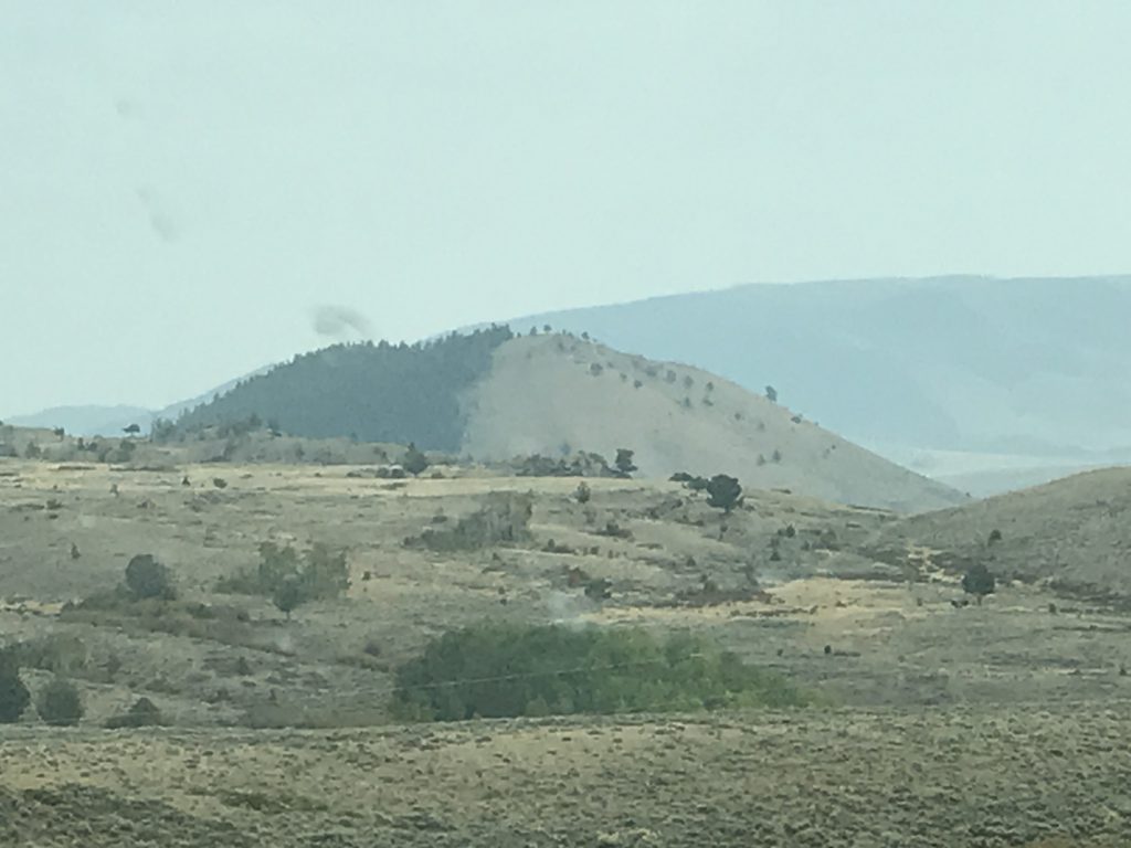
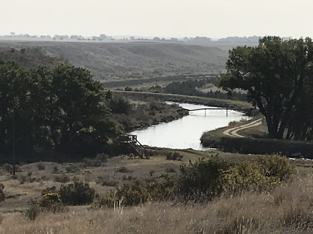
Our last plan for the day was to drive the Snowy Range Scenic Byway, which is WY-130 west through Medicine Bow National Forest and across Snowy Range Pass at 10,847 feet. Just wow! Laramie is in mostly flat rangeland with mountains in the distance. The Mullen Fire, which started on Thursday, was burning about 600 acres southwest of Laramie in the National Forest causing lots of smoke at the lower elevations, but not impacting the Byway traffic. By the time we reached Centennial, Wyoming, we were in the foothills and climbing from there. It is odd to see giant mountains in the distance when you are already well over 7,000 feet above sea level. Abruptly, you enter forests of lodgepole pines as you continue the climb towards the snowy peaks ahead. Then, just as suddenly, you are out of the dense forest and in low, grassy or mostly barren areas with only sporadic trees. At some point in the climb, the smoke disappeared and opened up the views. We stopped along the way to walk around several times, and saw firefighters at the pass heading for the wildfire. The temperature dropped from 79 in Laramie to 61 over the top…awesome! This drive is really worth taking. In addition to the gorgeous, sometimes snowy mountains, there are several lakes, hiking trails, and picnic areas.
Laramie, Wyoming Centennial, Wyoming
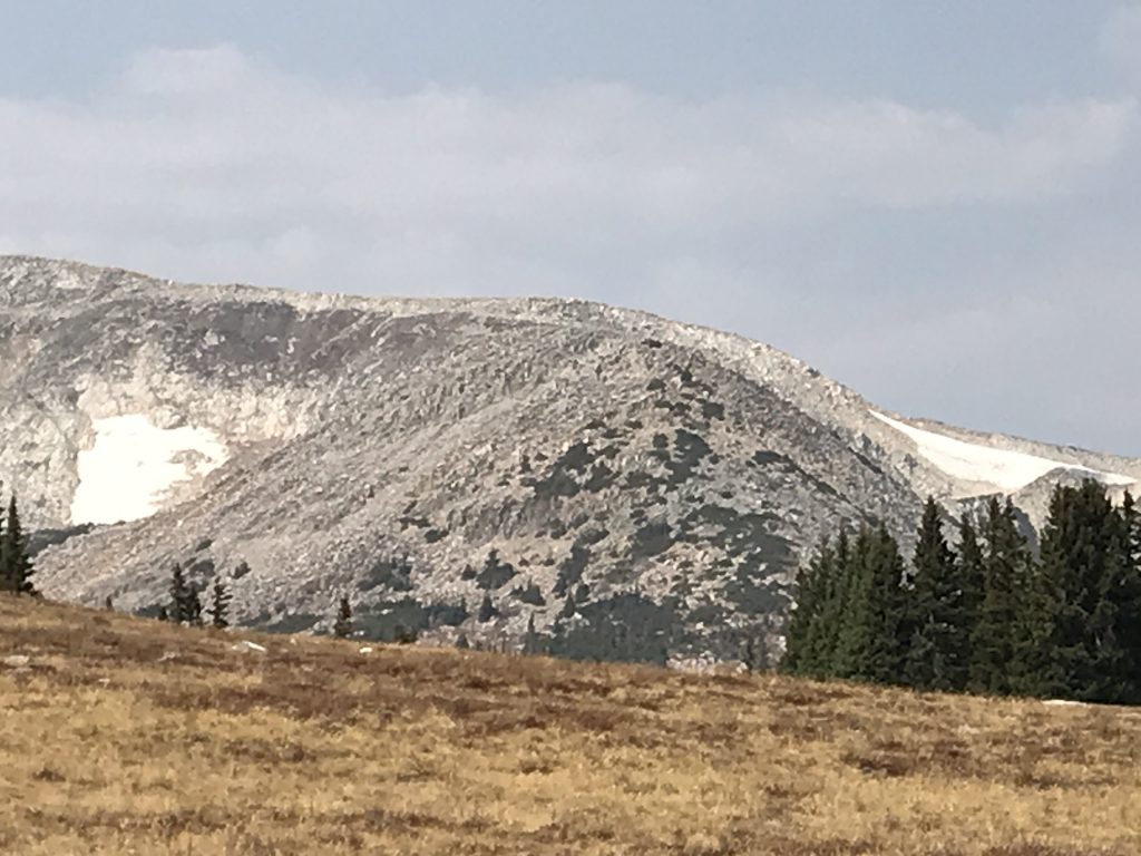
Medicine Bow Peak (12,013 ft)
Firefighter Caravan
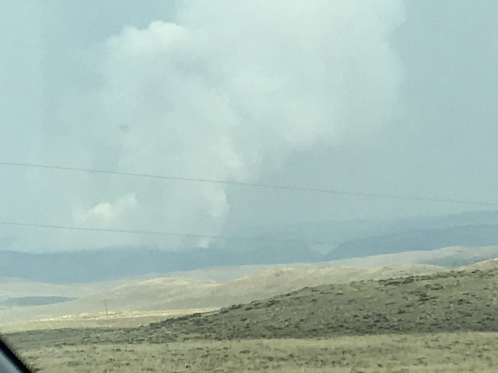
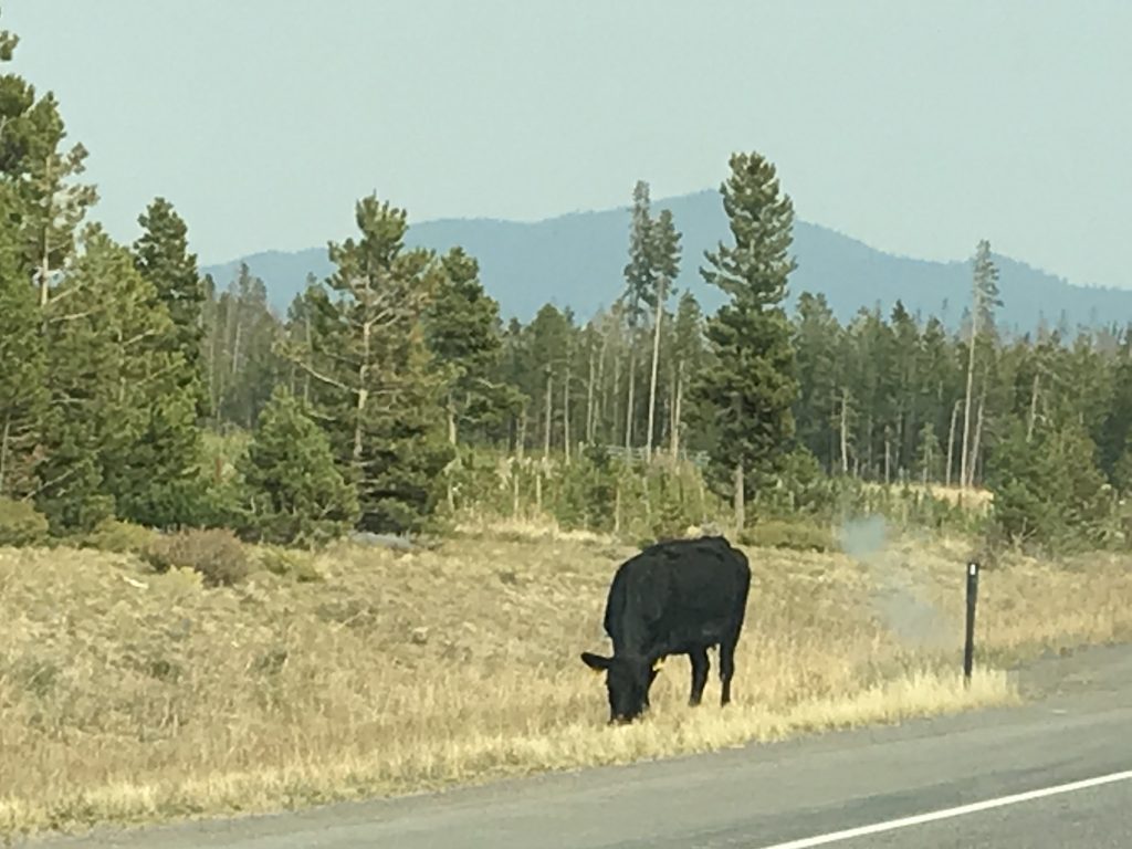
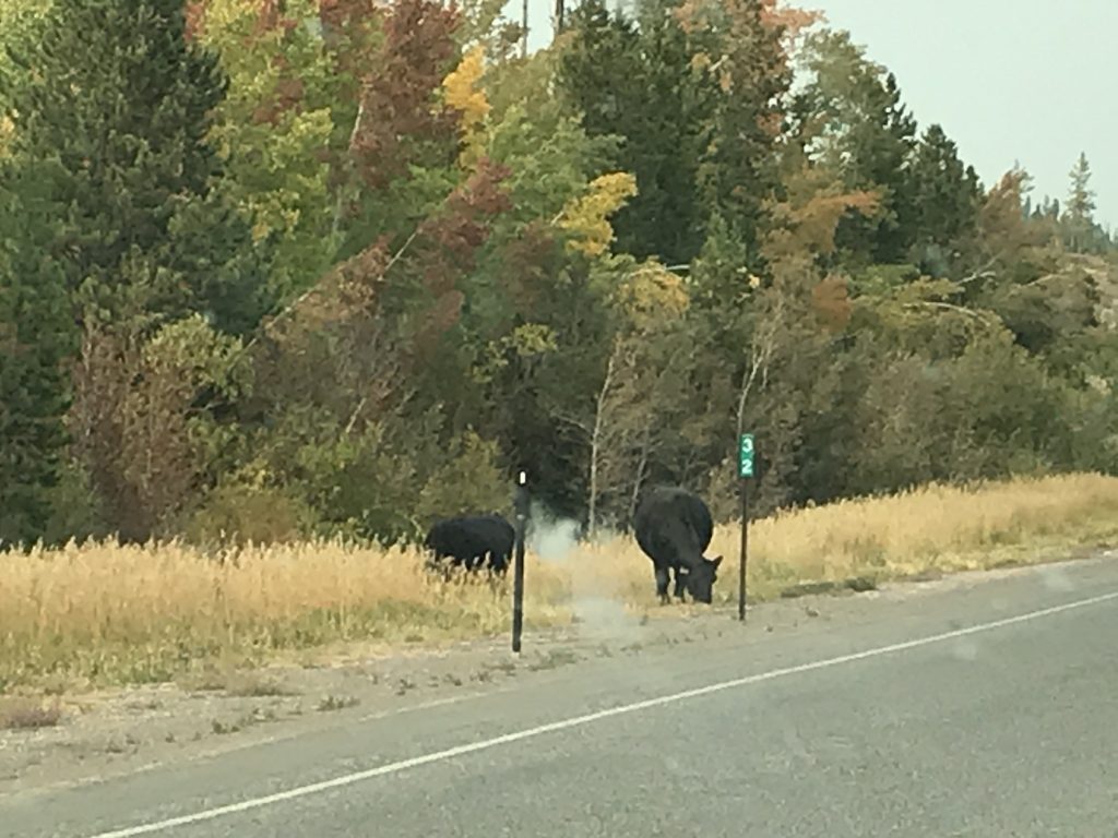
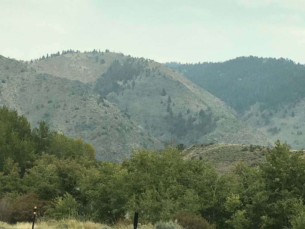
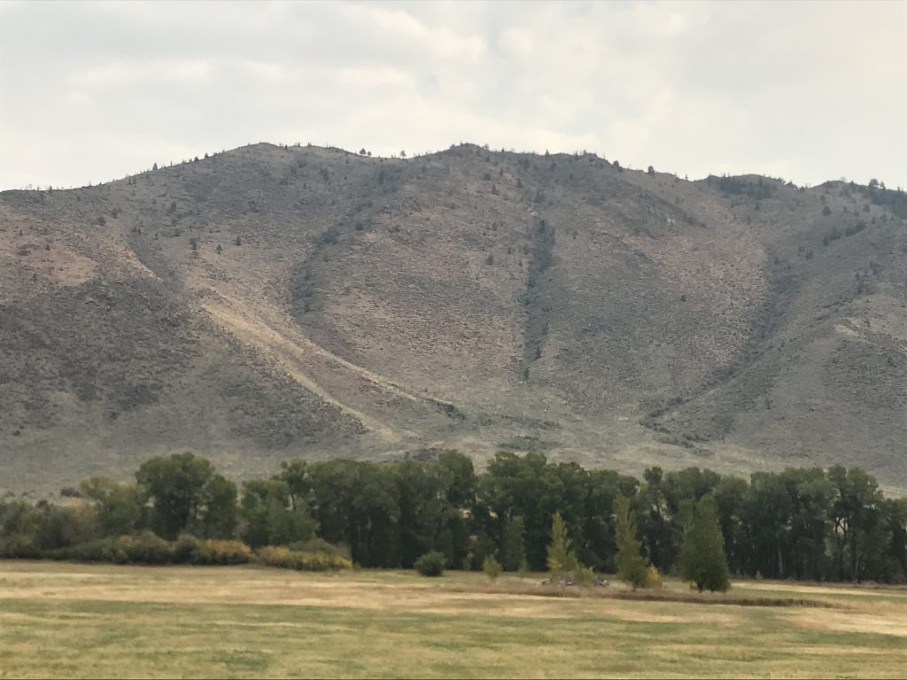
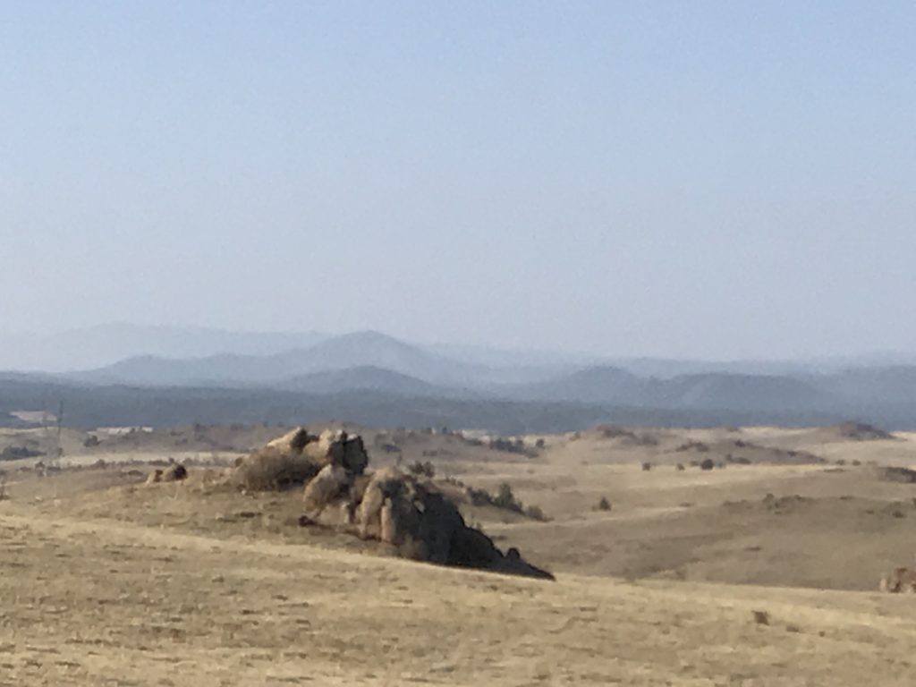
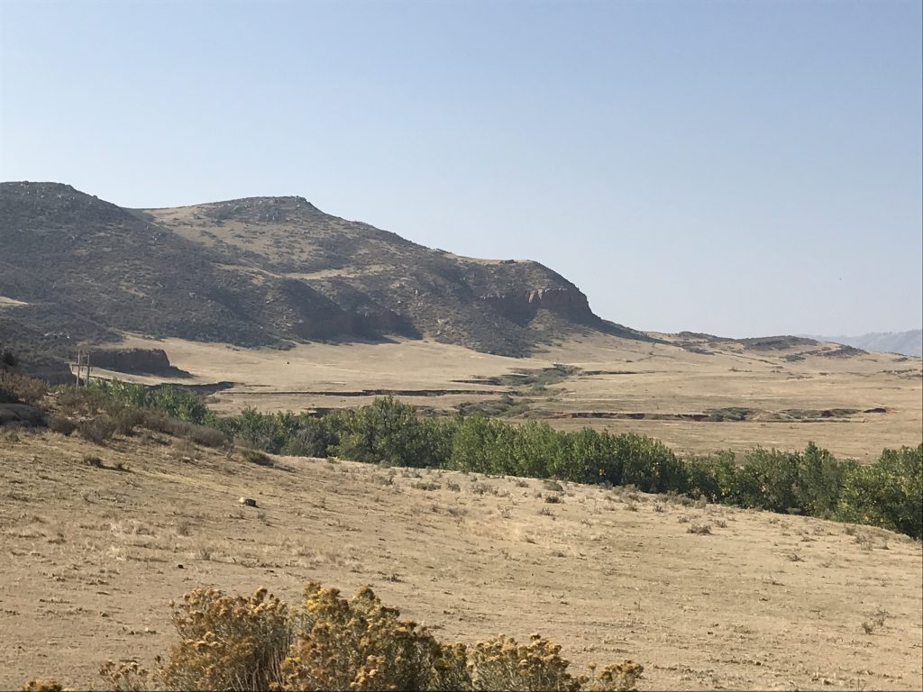
As we descended on the west side, we went through an area that burned in the last few years, and is renewing. The land dropped back to rolling hills and ranch land. We decided to return via a different route, so turned south to Riverside where we stopped for drinks and fuel at a neat little everything store. Then we headed east on WY-230, which dipped down into Colorado briefly before turning to pass through the Medicine Bow Mountains. The smoke from the wildfire was much thicker, and we could see where it was over the ridge. These mountains are not as high and are more rolling than the northern route. Some of the hills look like great piles of rocks that God just dropped where they are. Others are barren-looking or forested. Coolest of all, though, is that there are open range cows. We descended back into the flat ranch land and pointed Brutus home. Once back on the flat plains, we saw hundreds of pronghorns grazing along the way. I’d definitely do that drive again.
Riverside Fuel Stop -Everything Store The Beginning of the Mullen Fire
Back at Petunia, I cleaned out the fridge and did a little cooking. After walking several miles at higher altitudes my body isn’t used to, I was ready to hit the hay before bedtime even arrived.
Saturday we took a day off. Well, not really. I did some writing and a bit of work. in the afternoon the winds picked up drastically with 30 mph gusts, rattling the windows on poor Petunia. Thankfully, she was facing rear to the wind, which helped some. Add the high wind to the huge amount of fuel in the form of downed, dead (thousands lost to beetles), or live lodgepole pines and you’ve got a terrible recipe for the Mullen Fire. By Saturday night it had gone from 644 acres to about 7,500 acres in the Medicine Bow National Forest.
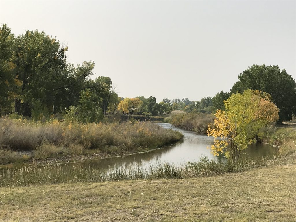
Sunday we were up early to go to breakfast at The Chuckwagon, which was packed for breakfast when we drove by before. It was delicious! MW had Huevos Rancheros, and I had pancakes, eggs, and bacon. All was delicious, but the standouts were the thick bacon and the plate-sized pancakes (two was 1-1/2 too much)! From there we headed over to the Laramie Greenbelt for a nice, brisk walk along the Laramie River. It was around 50 degrees with little wind, which was pretty perfect. I have to say, though, that it would probably take my body weeks to get used to exercise at this altitude. The slightest exertion makes me feel out of breath! Back at Petunia, I concentrated on a little writing and MW took care of some maintenance. By early afternoon, the wind started picking up again, sad news for the fire, which by late-afternoon had swelled to 14,000 acres causing pre-evacuation notices to go out to the towns of Albany and Centennial, and northwest all the way to the road we just drove through the Snowy Range.
Wyoming Territorial Prison from the River Laramie River

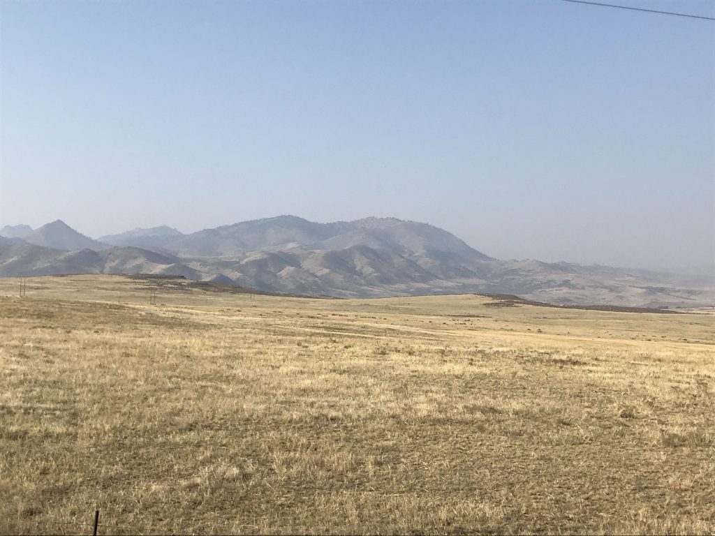
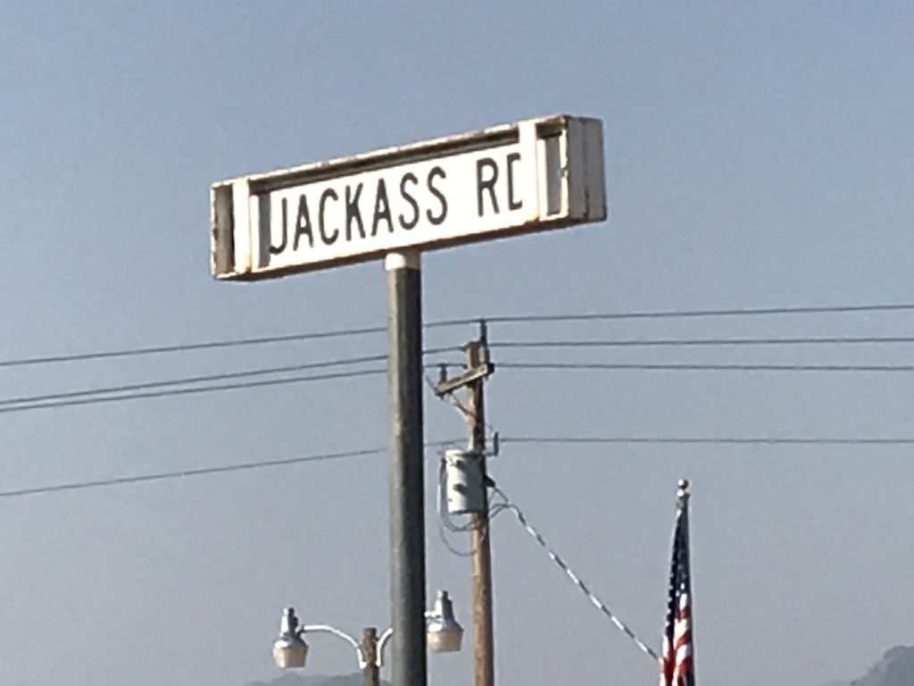
Monday we hit the road at 8:30 AM heading southeast on US-287, destination Colorado. Smoke was still visible in the western sky, and the still windy prediction for the afternoon was not going to help the firefighters. The landscape was beautiful, rolling plains, where we saw (no kidding) hundreds of pronghorns, some in herds of 20-30, and others in small groups or alone. The rolling hills soon gave way to more rocky peaks with mountains in the distance, then once again to rolling. At Livermore we found the post office and an interesting road. Now when you run across someone who just can’t help being a jackass, you can give them the address where they can find friends. As we continued southeast, the land slowly flattened out again. At Waverly we turned east on county roads to intersect I-25 south to Timnath, where we made a Costco stop. After that, we made our way back up to CO-14 and headed west.
Pronghorns at the Snowfence Smoky Haze
Just Direct Them to Jackass Road, Livermore, Colorado.

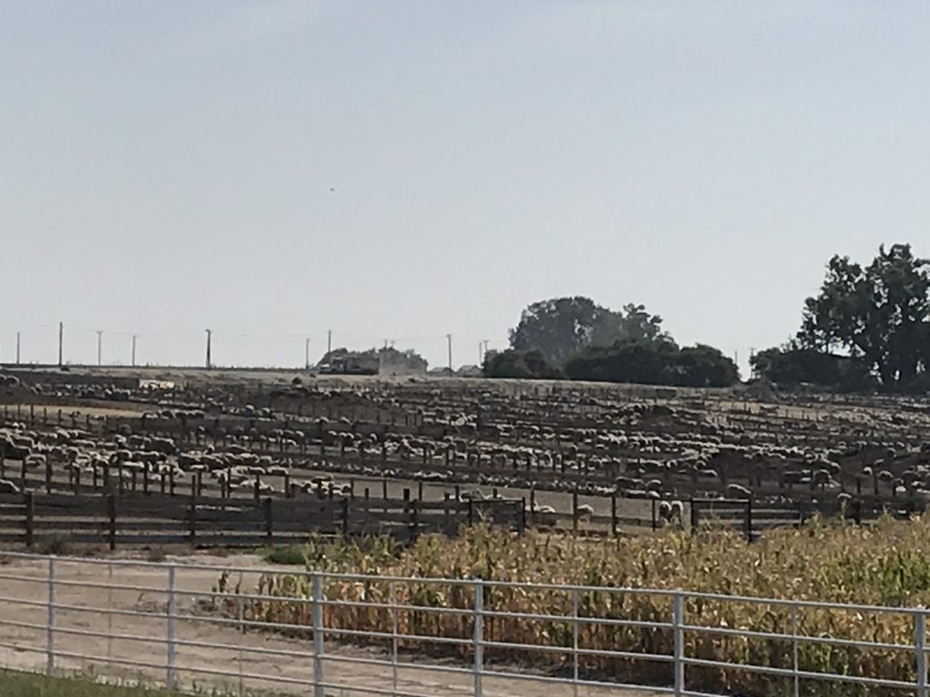
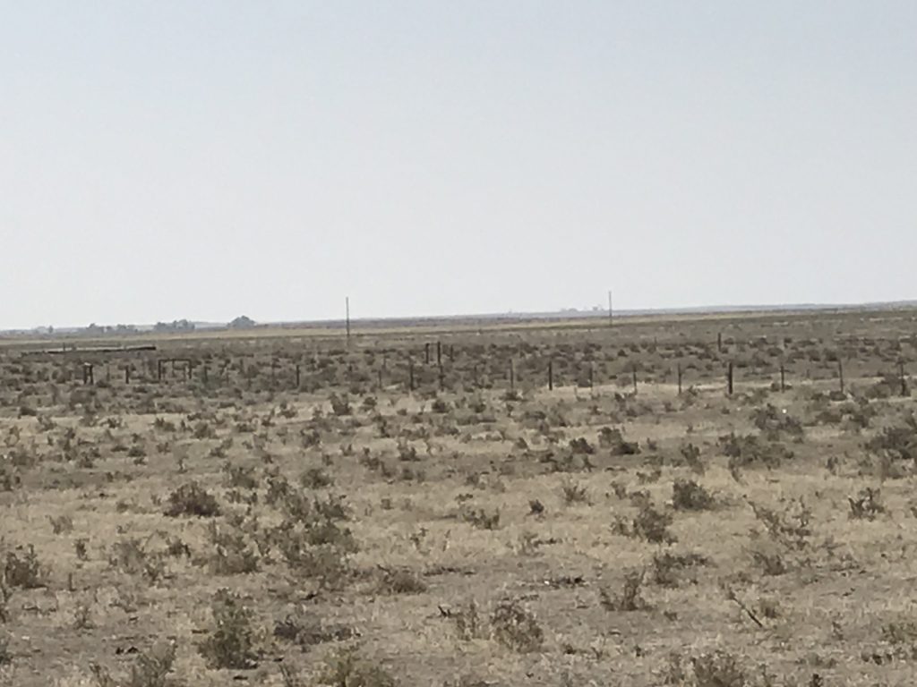
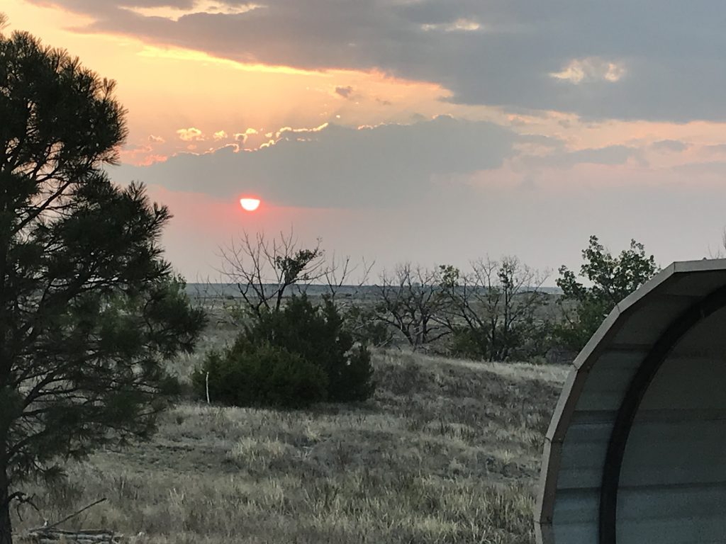
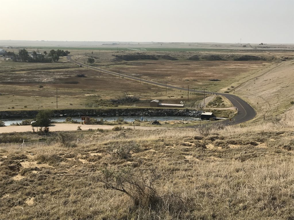
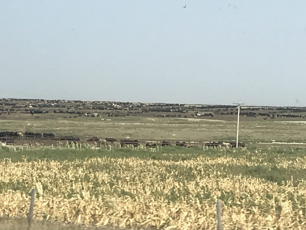
At Ault, Colorado, we stopped for lunch at Gray’s Cafe. Everything was good, but the winners were the onion rings and MW’s Green Chili Burger. The latter did not come out as expected, but as an open faced burger with green chili sauce all over it. Delicious! Still on US-14, we continued east, skirting the south side of the Pawnee National Grassland, and saw what appeared to be several missile silos. Natural snow fences were everywhere, and the further we went, the flatter the terrain became. Some sections looked more like desert, with small tufts of grass and a lot of dirt, which you don’t really expect in Colorado. There were quite a few oil pumps and a few drilling rigs, sod farms, and livestock feed yards for both cattle and sheep along the way. Just short of Sterling we turned north and made our way to our home for the next couple of nights, North Sterling State Park. After getting everything set up, I headed in to Sterling for some groceries. On the way out I got a quick look at two male pheasants as they crossed the road in front of me and several prairie dogs running back to their holes. When I returned, I fixed a big bowl of tuna salad. Then it was time to relax. After we went to bed, I was awakened by a pack of coyotes that sounded like they were in the field across the road.
Sheep Yards in Ault, Colorado Mural in Ault, Colorado
Natural Snow Fences Almost Desert-Like
Flat and Oily Soon to be Sunset from Our Site

Petunia All Tucked In
Early Tuesday morning while it was still dark, MW heard the coyotes whooping it up way off on the other side of the reservoir. That’s such a crazy sound and will scare the crap out of you if you’ve never heard it before. Now I love to hear it, although they are considered a nuisance. We went for a nice walk around the park in the morning, then I put dinner in the Crockpot…Orange Curried Chicken. Yum! We headed into town to run a few errands and popped in to J & L Cafe for a quick bite…turkey sandwich, potato salad, BLT, and sweet potato fries. All were good, but the sweet potato fries were the standout. Our property on the mountain in Virginia (our first retirement plan) was closing soon, and we had to get paperwork notarized and sent back. (This time we easily found a notary, but sometimes that can be hard.) Then we scoped out laundromats and headed back to Petunia. Served over jasmine rice, the chicken was very good, although I didn’t eat much because my stomach was feeling off. After dinner I sat outside for a bit, then took another walk around the campground, stopping to chat for a few minutes with a fellow Reflection owner and her Mom. When I got back, I decided my queasiness must have been from the strong food smell, so we opened the windows, turned on the vents, and aired Petunia out. That worked. Note to self: curry dishes need to be prepared outside or with windows and vents open. We watched an old Randolph Scott movie before turning in. About 11 PM, I was bolted awake by a coyote howling that, honest to goodness, sounded like he was right outside our open window. I looked, but it was too dark to see anything. Too cool!
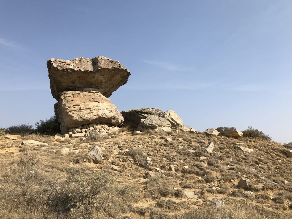
View from Balanced Rock Hill View from Balanced Rock Hill
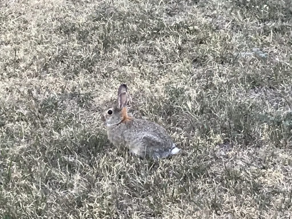
Balanced Rock Lots of Bunnies in the Campground
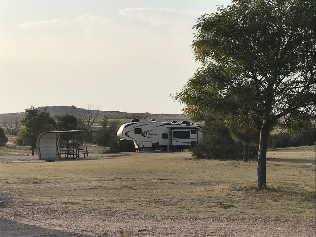
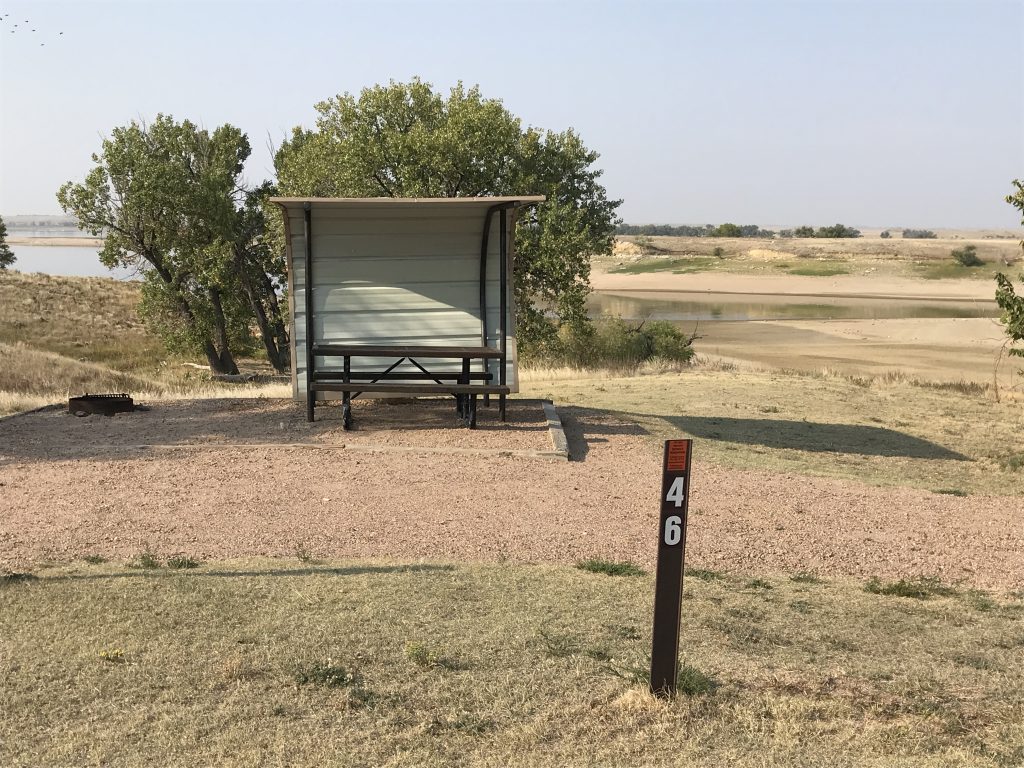
North Sterling State Park sits on North Sterling Reservoir just north of Sterling, Colorado. (Say that three times fast!) When filled to capacity, the lake stores 72,000 acre-feet of water (1′ of water over the area of an acre of land). When it was created, a canal was dug from the South Platte River near Hillrose about 60 miles away. The lake is great for fisherman and boaters, but its critical purpose continues to be irrigation. For that reason, the water levels drop drastically during the drier seasons. The outlet canal is about 62 miles long and irrigates around 41,000 acres of cropland northeast of Sterling. Aside from fishing, boating, and swimming, the park offers hunting during specific seasons; hiking, biking, and horseback riding along the South Shoreline Trail; a pretty cool archery range with 11 stations and 18 targets along a walking trail; and plenty of places to picnic. The campgrounds are very well-kept, with sites overlooking the reservoir, open prairie, or cultivated fields, and potable water faucets are nearby. We were at the Elks, which is the only area open year-round and has 50 sites with 30-amp electric. Inlet Grove has 46 50-amp electric sites, and Chimney View has 43 primitive sites. The negatives were: 1) The campsites (30- or 50-amp) are $36 per night, and the daily pass is $9 per day, making this pretty expensive at $45 for a state park (especially the 30-amp). 2) For those who use the bathhouse, the showers cost $.75 for 3 minutes. After a few seconds, the cold water turned warm. BUT, after about a minute, it went back to cold. It was fairly empty, and the quiet and stargazing were awesome. We try to keep our nightly stays at around $30, so we wouldn’t go out of our way to come back. We would definitely come back for a limited time when passing through, though.
Low Water Seriously!
Picnic Area Reservoir from the Campground
Bathhouse Best Site in the Elks Campground
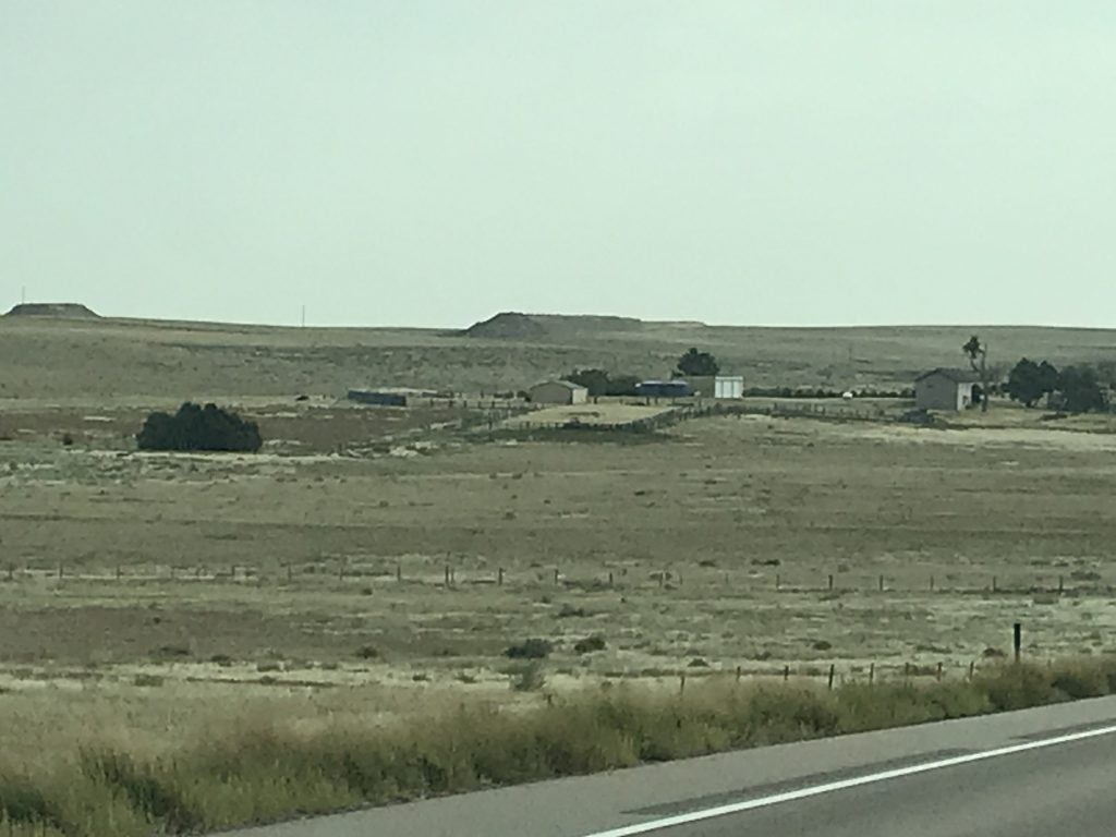
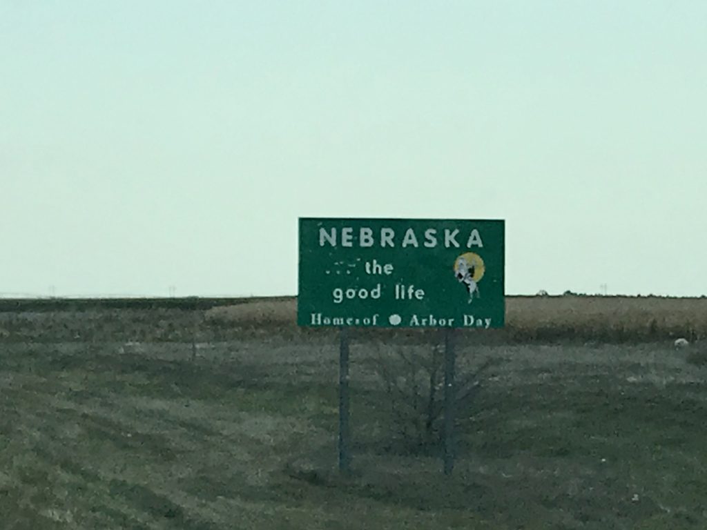
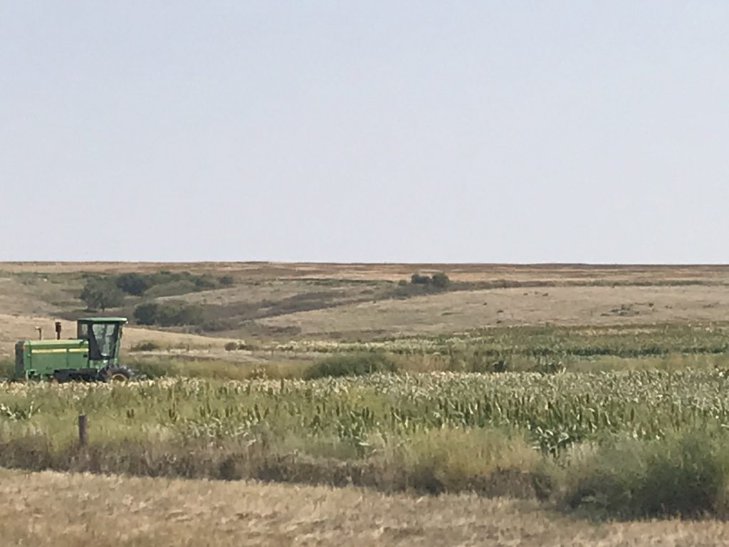
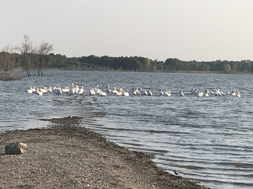
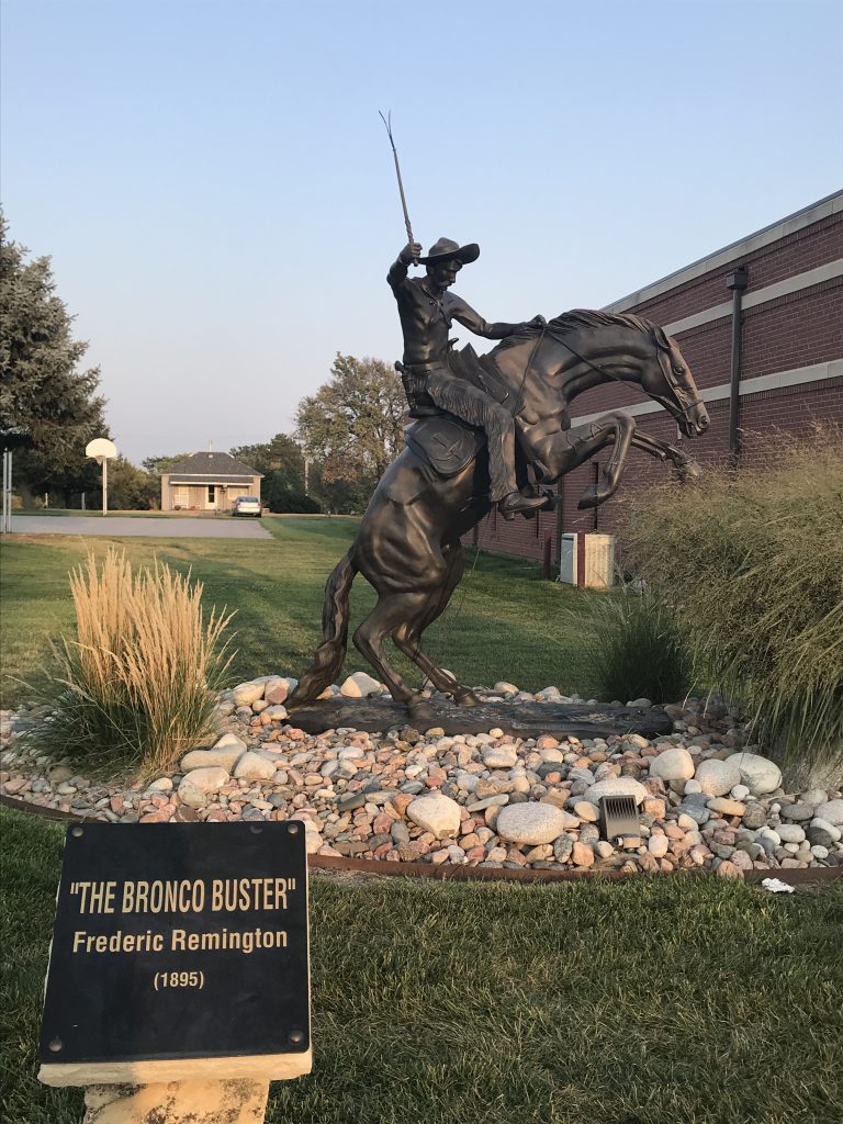
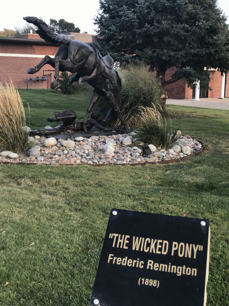
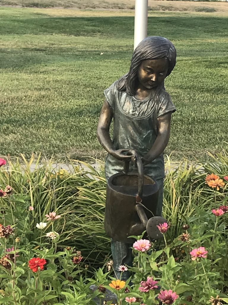
On Wednesday we headed out around 7:30 AM. Our first stop was at the Applewood Laundry in Sterling, which has been open for about 3 years, but looks new. Honestly, that is the cleanest laundromat I’ve ever been in! We were finished by 10 AM and headed east on US-6. The landscape flattened out, and we saw the return of corn, sorghum, and something that is very green, low-growing, and looked herb-ish. That basically went on until we crossed into Nebraska and made it through Imperial. Then, quite suddenly, we were back in the hills until near Culbertson, running down a long valley between ridges. We stopped for a picnic lunch in the city park at Wauneta, Nebraska. Although it was 89 degrees, the wind and shade made it pleasant. At McCook, Nebraska, we turned south and followed the scenic route on US-83 to Oberlin, Kansas, where we passed a huge stockyard although my pic only caught a small part of it. (Note of warning: If you top a hill and see a stockyard of any size, quickly turn off your a/c or switch it to recirculate the air. That methane smell will curl your eyelashes!!). We turned east on US-36 for the final leg, and as we continued east, the hills began to flatten out to rolling ranch land with deep, washes scattered around. We made it to Prairie Dog State Park about 3:30 PM and got Petunia set up quickly. Then we headed in to Norton for a grocery run, checking out the Sebelius Reservoir on the way. I FINALLY got a descently close picture of the white pelicans, although they were not too happy about me walking down to the water’s edge. We stopped by the prairie dog town near the entrance to say hello, too. They were not amused. LOL. After picking up the groceries, we drove around Norton a little bit and found some cool Remington statues at the library. (Roadside America had given us a heads-up.) Forgot to previously mention, but in Sterling, Colorado, there was a life-sized bronze of “Rattlesnake” by Remington. Next it was home, because we we were pooped. After going to bed, we heard coyotes off and on in the area. (Love it!)
Near Fleming Colorado At the Line
Enders, Nebraska Wauneta City Park
Palisade, Nebraska Palisade, Nebraska
Oberlin Stockyard Norcatur, Kansas
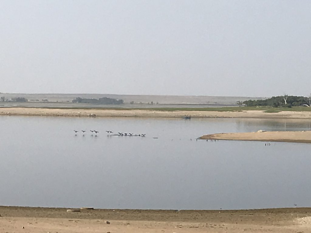
Finally Close Enough…White Pelicans!
Don’t Know the Artist…Love It, Though!!
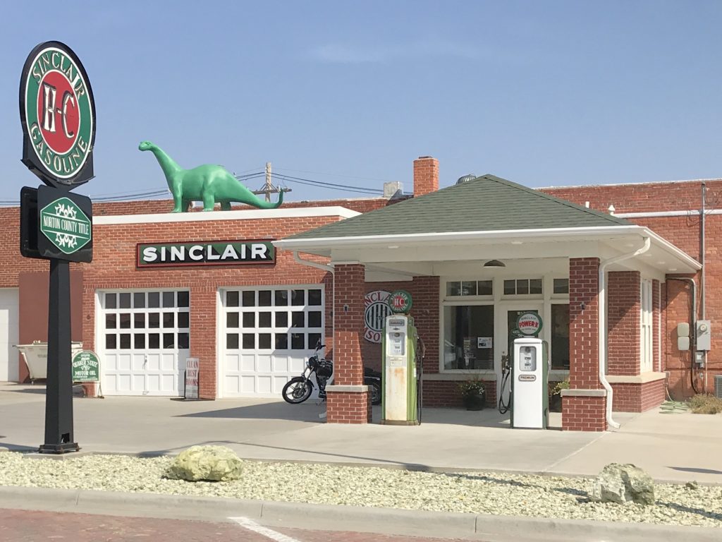
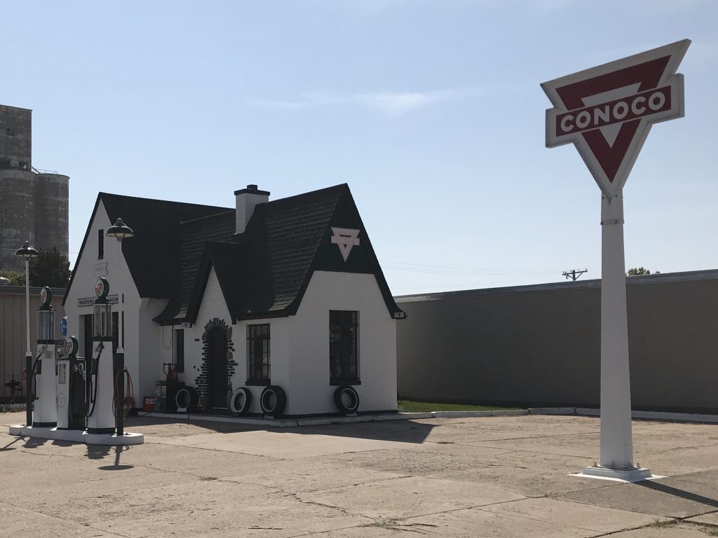
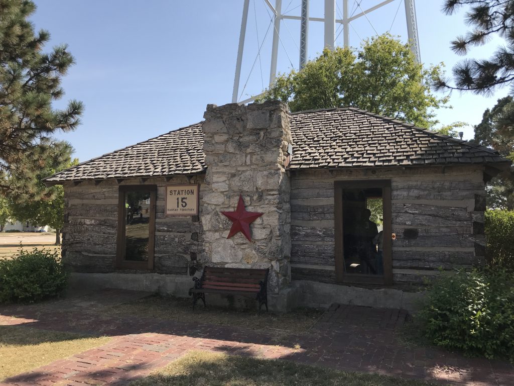
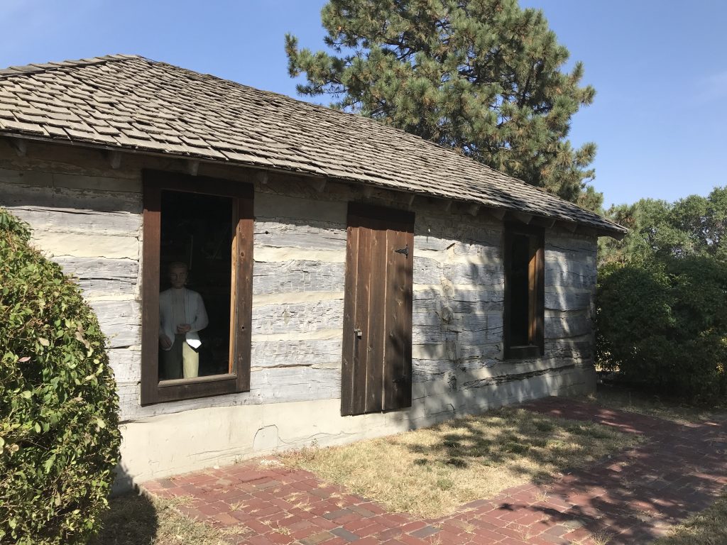
On Thursday we got up later than usual thanks to crossing into the Central Time Zone yesterday. I gave MW a haircut, then we sat around relaxing most of the day. Mid-afternoon we headed into Sterling to look around some more. (I was hoping to get a haircut, but couldn’t find anyone with an appointment available.) In addition to the statues, we checked out their restored Sinclair and Conoco gas stations, then headed over to take a look at Station 15. Relocated from its original site a few miles south, this two-room log cabin served as a depot for stagecoaches and wagon trains at the midway point on the Leavenworth Pikes Peak Express Company Route. The shortest trail to the Denver gold fields, a lot of colorful folks passed through. You can view a scene through the window of what it might have been like when the stage came through, but the description stating the folks depicted are “those definitely documented as present and some especially selected based on clues that tend to identify them” is a fairy tale. Once finished there, we headed over to check out the dam on the lake, then pointed Brutus towards the park and relaxed for the evening. After turning in, we were once again treated to the coyote serenade.
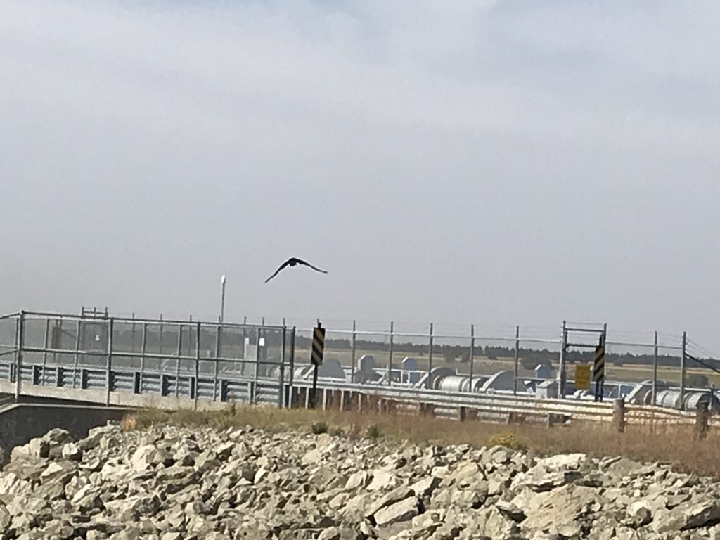
What is it about buzzards and dams? Prairie Dog State Park from the Dam
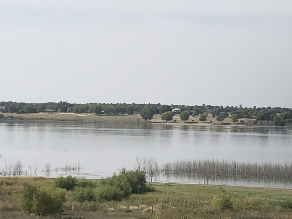
Prairie Dog State Park is on the banks of the 1,000-acre Sebelius Reservoir about 4 miles or so from Norton, Kansas. Activities include boating, fishing, skiing, windsurfing, picnicking, swimming at the beach, and exploring on the 1.4-mile nature trail. There are two 19th century buildings preserved in the park…a one-room schoolhouse and an adobe house…showing a bit of old Kansas. Food plots and a waterfowl refuge make it a great place for wildlife watching (and remember the coyotes). In addition to an archery range, there are a playground, horseshoe pits, a sand volleyball court, and a basketball court in the campground. There is also a nice-sized prairie dog town near the park entrance with a picnic area and shelter there. Watching those little things will make you laugh! There are several cabins available for rent, some primitive and others more modern. The campground has 67 electric & water sites, 13 electric only sites, and 10 full-hookup sites. There are also 131 primitive sites (6 designated and 125 undesignated). There were two shower houses for all of the campgrounds, and the one at Branded Cedar Campground was fairly clean and had one shower each for male and female (the one at Prairie Dog Campground looked larger). The sites were nicely spaced, and ours was a grass, pull-through up on a hill overlooking the lake in the distance. We paid $55 for two nights (electric and water), including the park entrance fee (September 2020).
Next up…more Kansas! See you on the path!
Talisa
P.S. If you enjoyed this blog, like and follow us below, and please SHARE, SHARE, SHARE on social media!