On Monday, July 12, we hit the road about 7:15 AM, heading first back through Mora where I got a last look at the alpaca herd at Victory Ranch…so adorable! Then we caught NM-75 over to Penasco, crossing the Sangre de Cristo Mountain pass at 9,475 feet on the way. It feels a little different driving it with Petunia behind us. Brutus was WORKING! At Dixon, we turned south on NM-68 to San Juan Pueblo, then turned north on US-84.

Beautiful Colors 
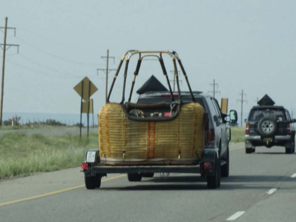
Somebody is Ready to Fly
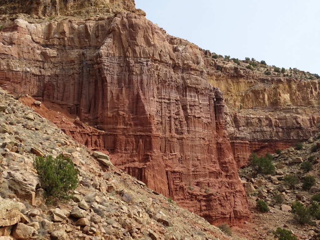
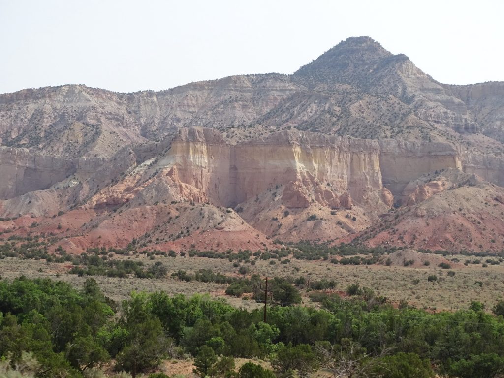
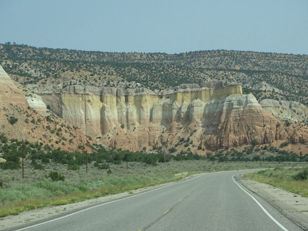
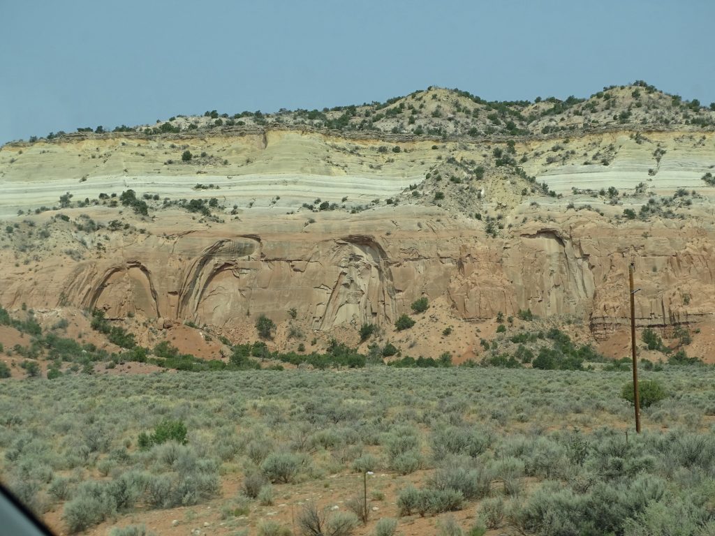
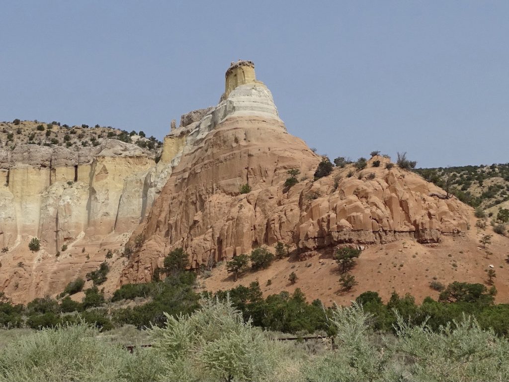
We passed through Abiquiu, where the late artist Georgia O’Keeffe lived from 1949 until 1984. Ghost Ranch, northwest of town, was a dude ranch in 1929 when she first visited the area at the invitation of friends. A beautiful property that she caught glimpses of on her hikes. But it was 5 years before she visited. She stayed in one of the cottages there, and that began the tradition of her spending the entire summer in New Mexico. A loner, she sought the most isolated places, and the ranch owners, Arthur Pack and Carol Stanley, eventually offered to rent her their house, which was a bit more isolated. In 1940, after arriving early to find someone else in the house, she insisted that Pack sell it to her, and therefore, became the owner of the house and 7 acres in the middle of the desert ranch that she called Rancho de los Burros. She would later renovate an adobe home in Abiquiu in order to have gardens and make a permanent move to the area after her husband died. The Abiquiu home and studio there were named a National Historic Landmark in 1998. On this trip, we had other plans, so did not have time to take the tour. Her inspiration, however, can be seen all around the area. It is gorgeous.

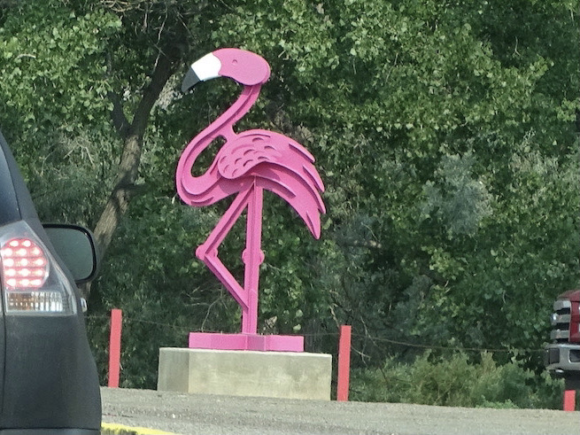
Unexpected in Abiquiu 
Beautiful Color

Photos Do Not Do the Colors… 
…Justice in the Haze

Georgia O’Keeffe’s New Mexico Inspiration
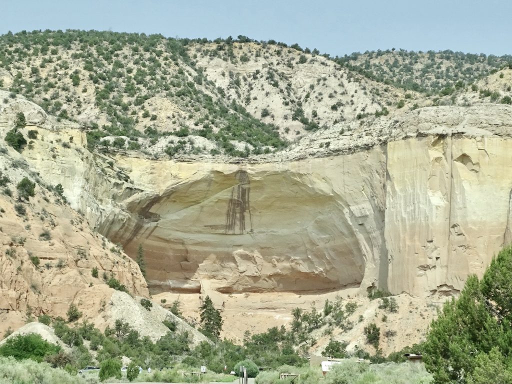
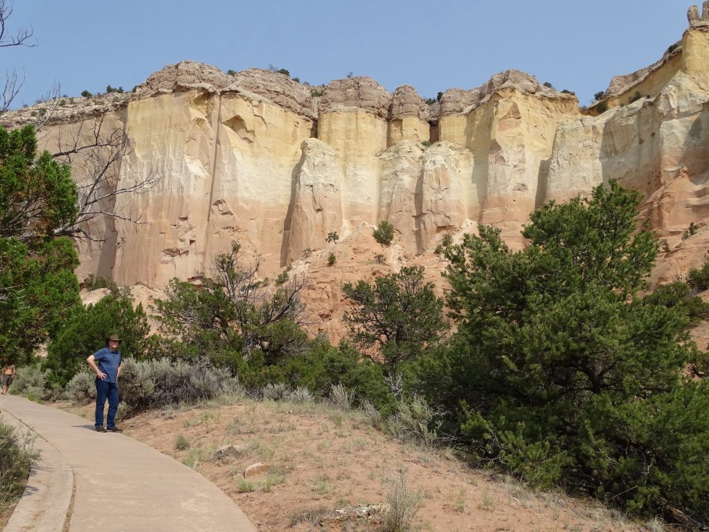
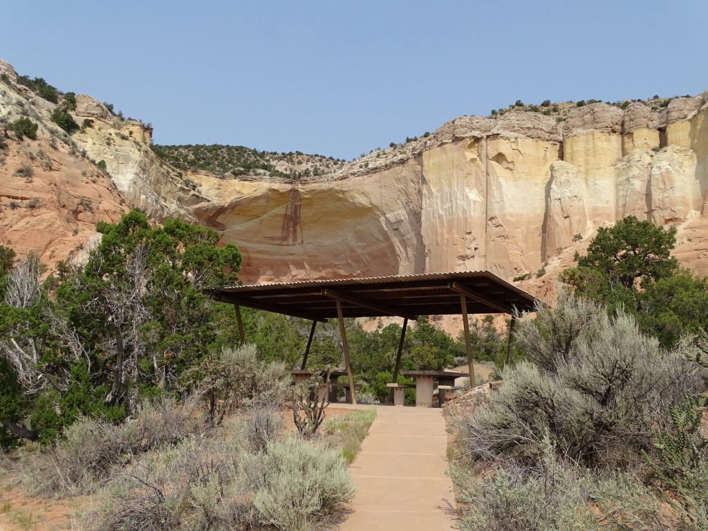
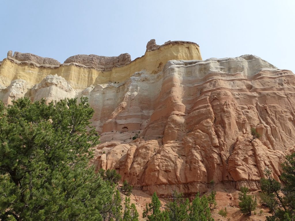
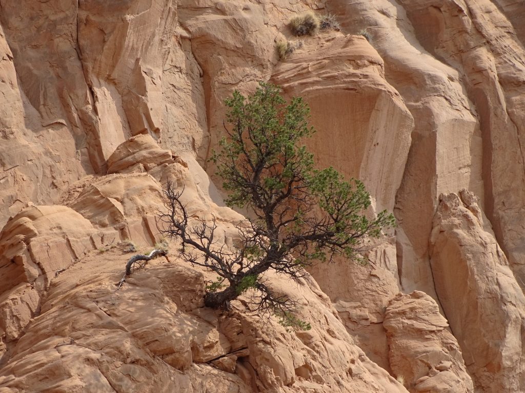
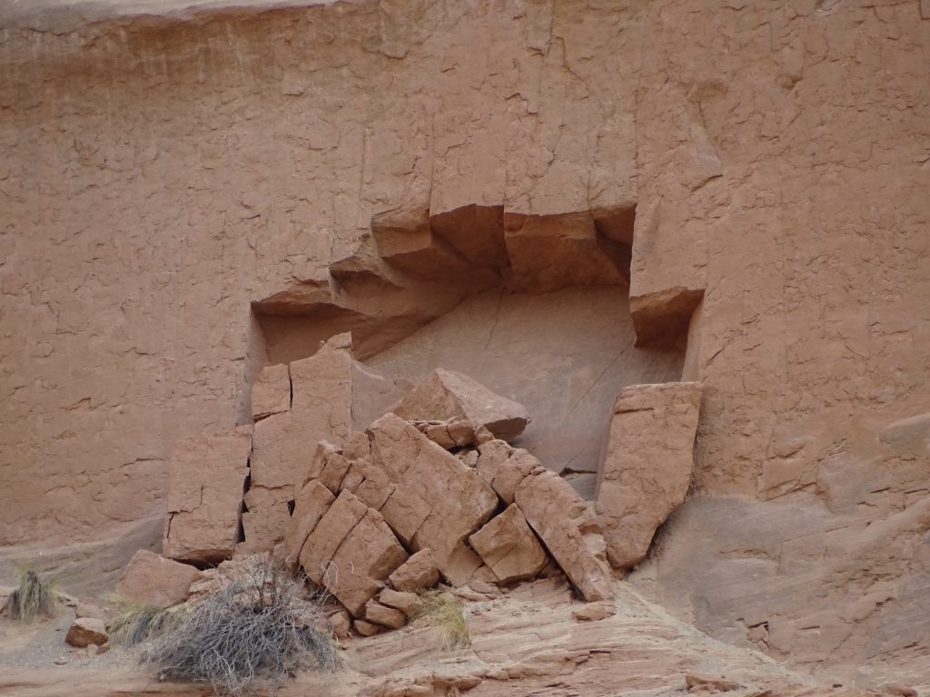
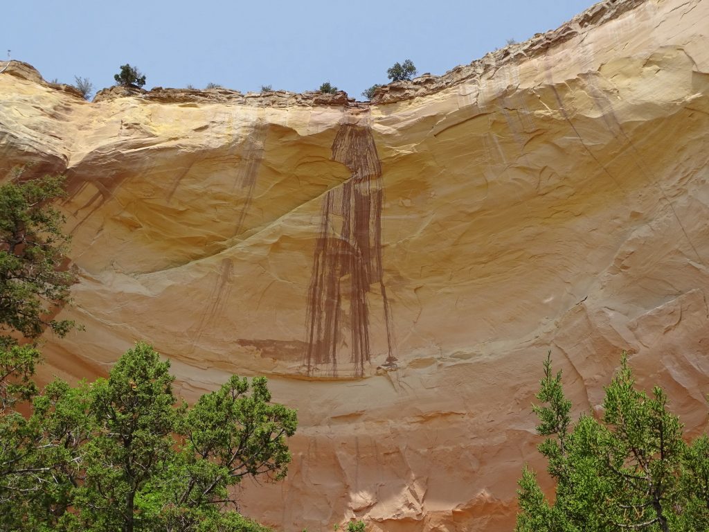
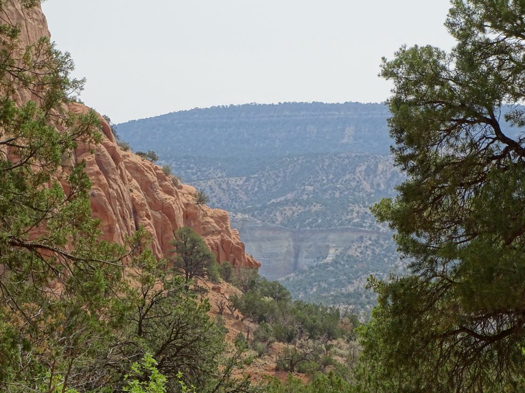
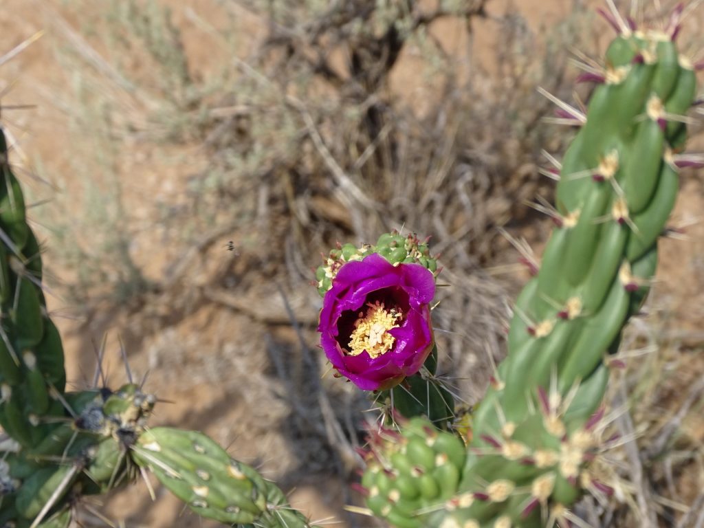
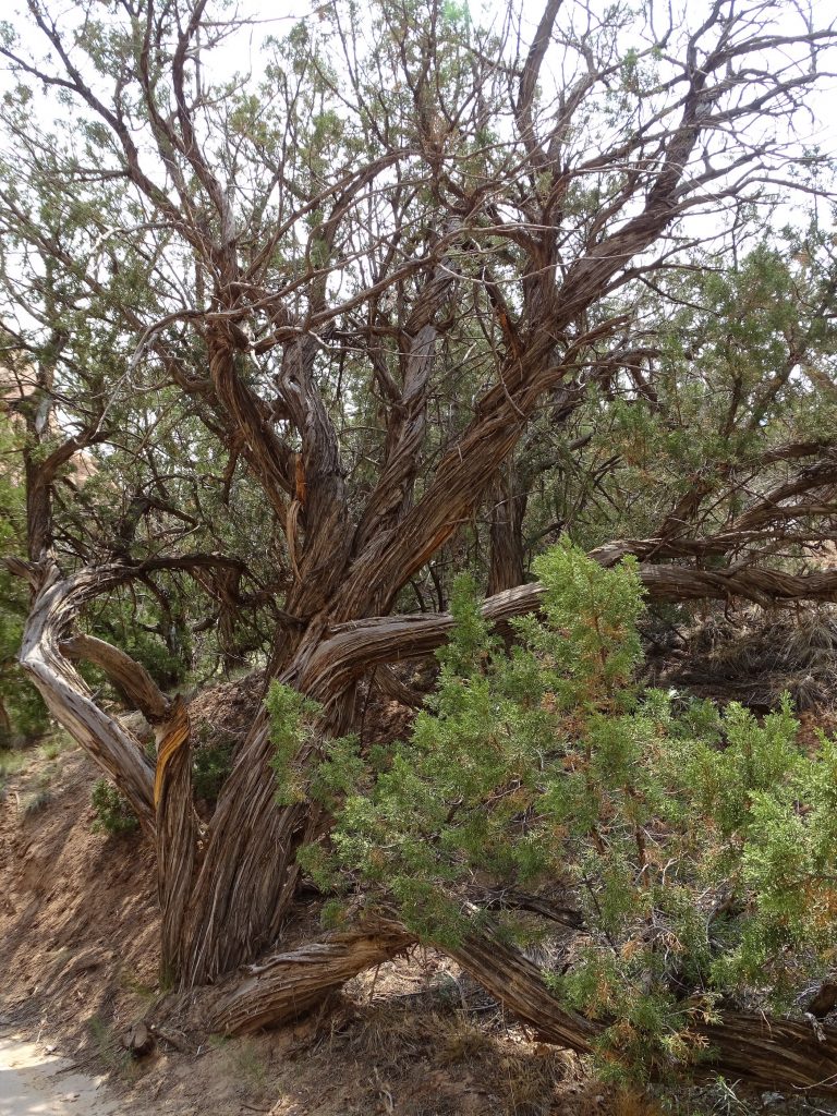
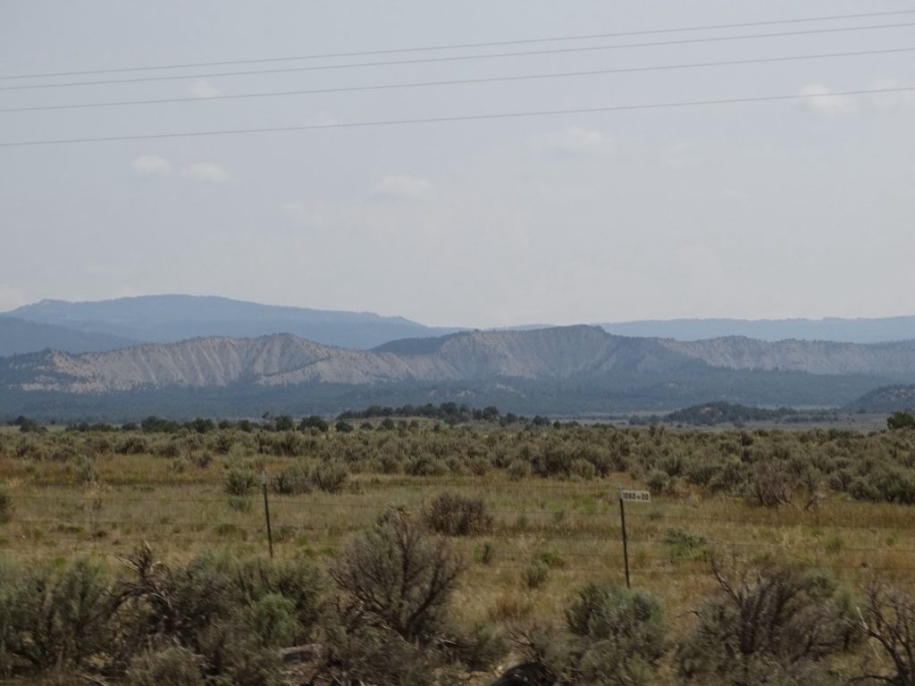
A little further up the road we made our planned stop at Echo Amphitheater. A natural formation, it is just beautiful and gave us a nice place to take a little walk. There is a legend that a family was brought to the top of the cliff and executed there by a band of Navajo. The tale says that their blood ran down the cliff walls, leaving a permanent mark. A part of the Carson National Forest Recreation Area, there is a camping area and a small entrance fee of $2 per car. When we got to the echo chamber, a young man told us that a little earlier a giant rock sloughed off of the side. He said the ground shook and the noise and echo were very loud and scared him to death. He thought the whole thing was coming down on him. I told him he now has a great story forever. I’ll let the pics do the rest of the talking on this spot.

Approaching 
Gives an Idea of How It Was Formed

The Natural Amphitheater 
Side Wall and MW

Gorgeous Color 
Nice Picnic Areas

Bright Yellow 
Juniper Clinging

Section Sloughing Off High Up 
The “Blood”

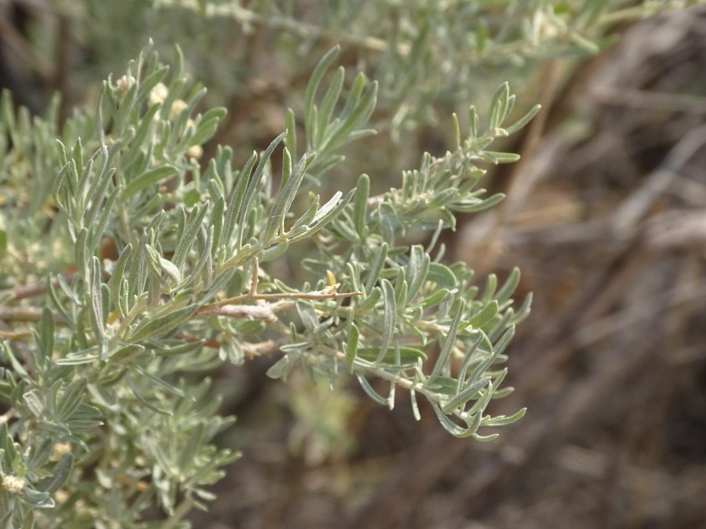
Lots of Sagebrush 
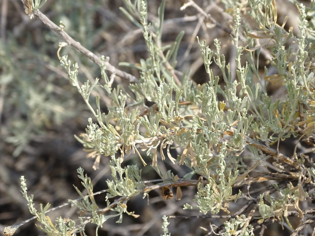
And Snakeweed

View Looking Out 
Cholla Blooming

Must Get Big Wind…This Guy’s Been Through Some Stuff!
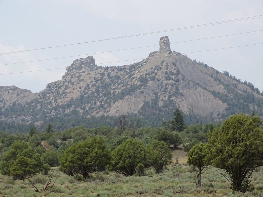
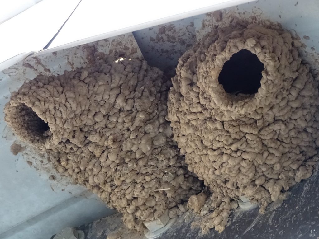
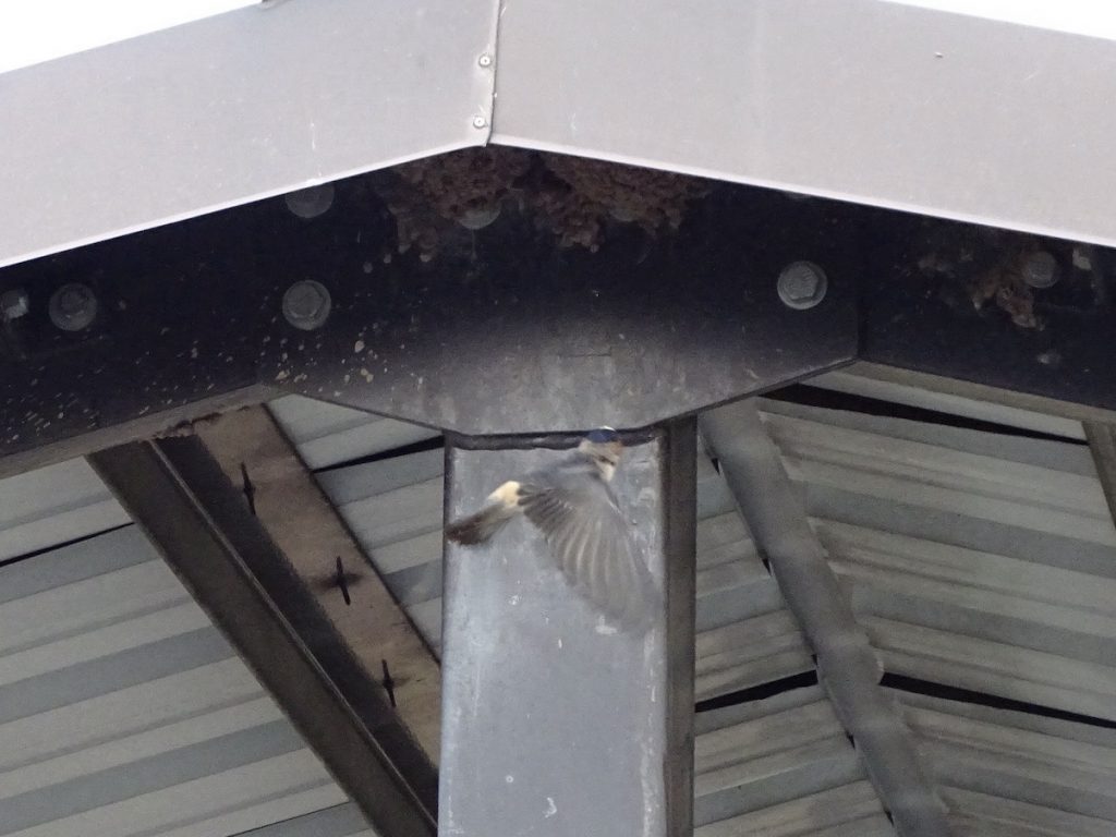
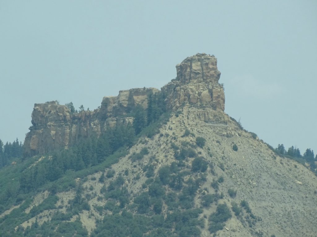
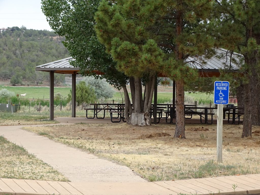
We continued north on US-84 to Chama, where we stopped for lunch at the Elk Horn Cafe. The basic sandwich and salad fare was delicious, and despite it warming up, sitting on the patio in the shade was very nice. Then it was further north to Pagosa Springs, which was absolutely beautiful, but covered up in traffic. I’d go to check it out, but only during their slow season. We turned west on US-160, then CO-151 to Navajo State Park. We passed Chimney Rock National Monument along the way, too. While we were setting up, we enjoyed watching the Cliff Swallows coming and going to their nests under the picnic pavilion. The nests are built out of mud and look like gourds with the neck cut. There were seven nests, and it looked like a dozen birds coming and going. They are very fast, though, so I couldn’t get a good, clear shot.

South of Chama 
I’m Telling You, George, No One Will Know!

Near Tierra Amarilla 
Near Los Ojos

Chimney Rock 
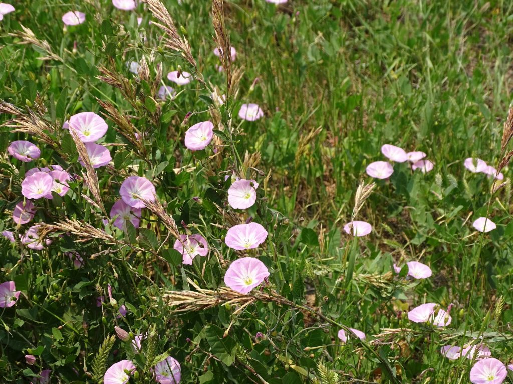
Bindweed

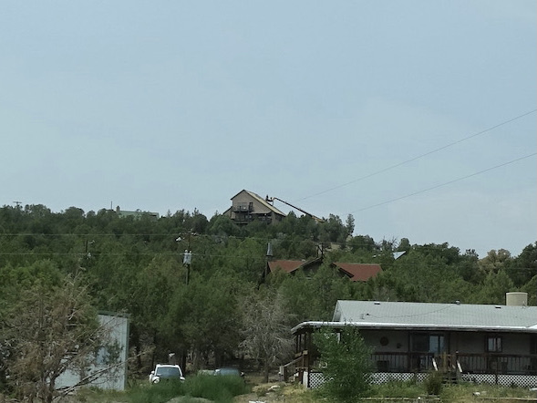
Look at How They Are Re-roofing the House Up Top

Cliff Swallow Nests 
Fast Little Boogers
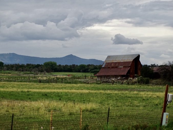
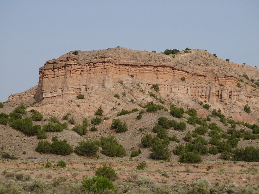
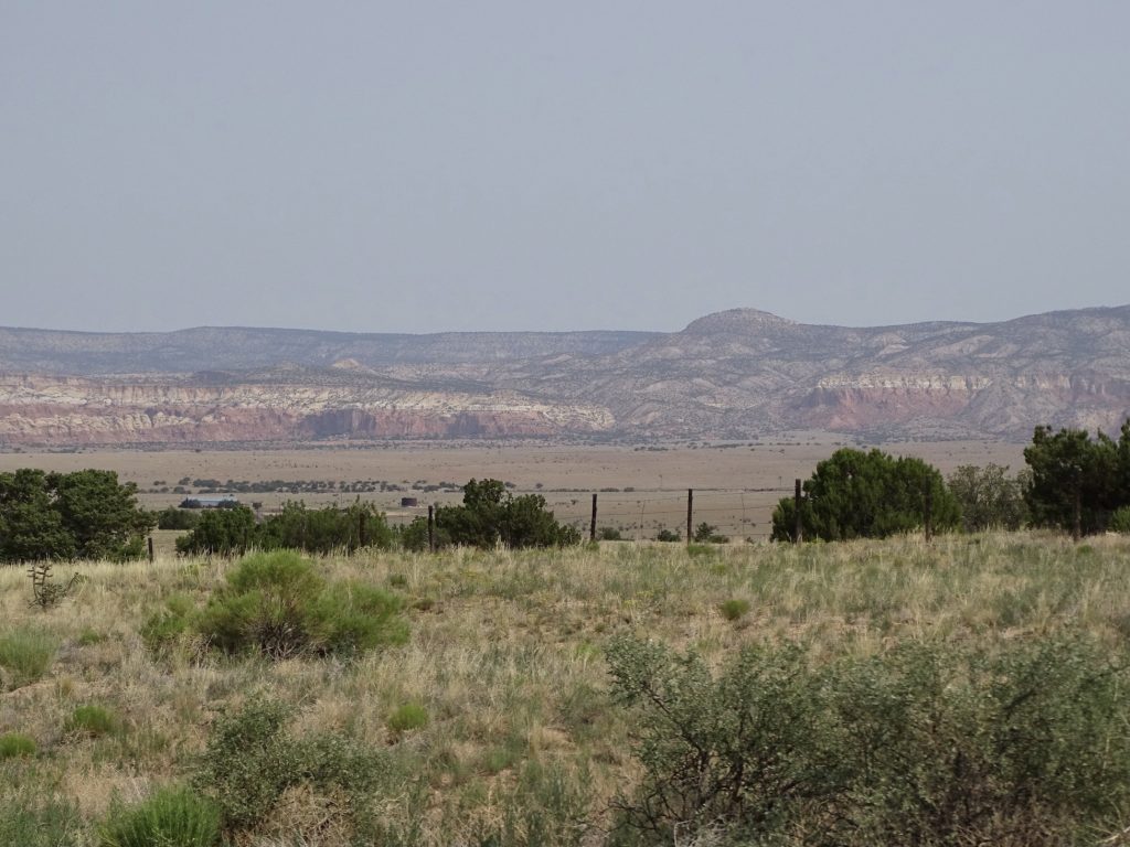
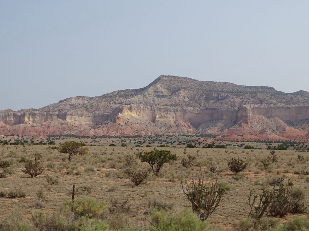
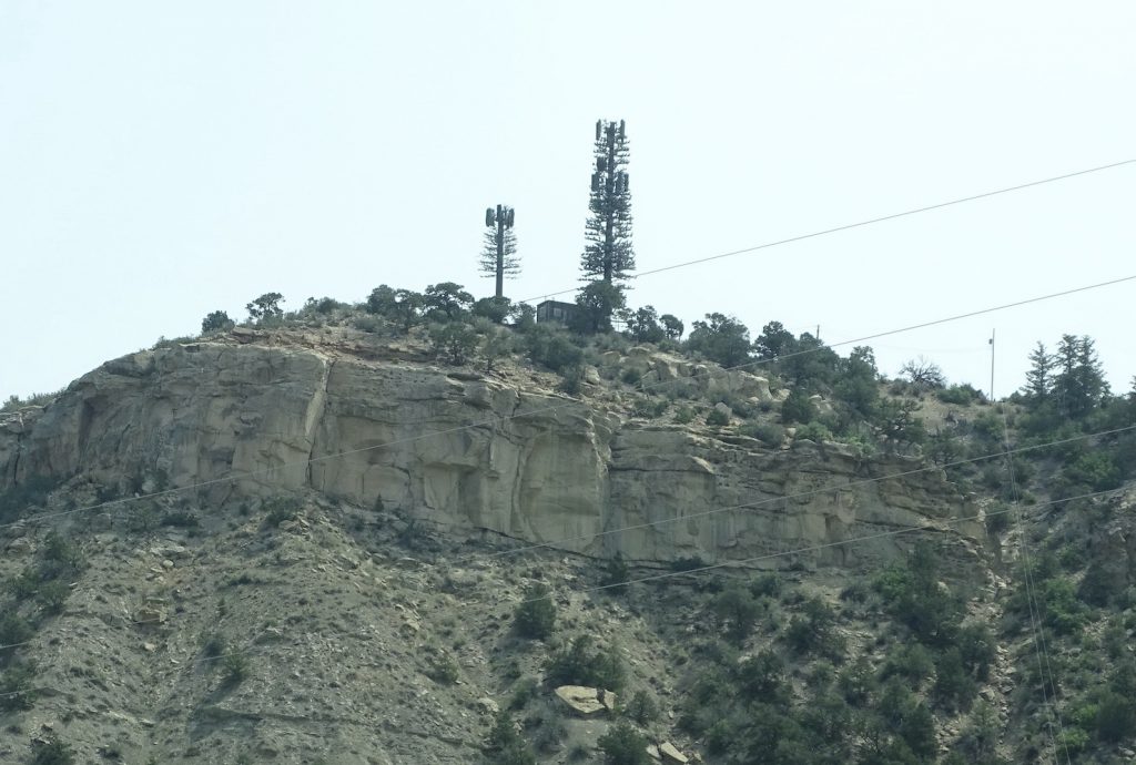
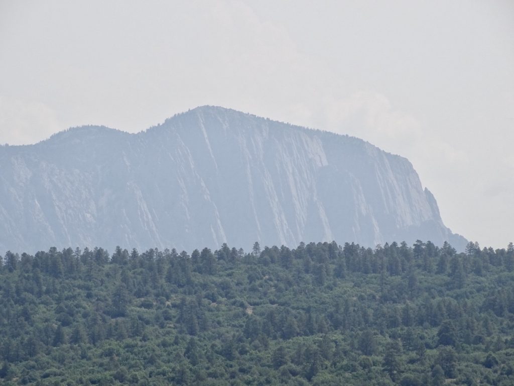
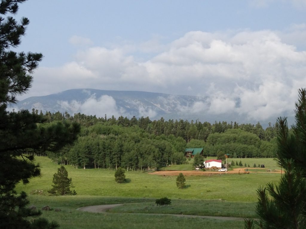
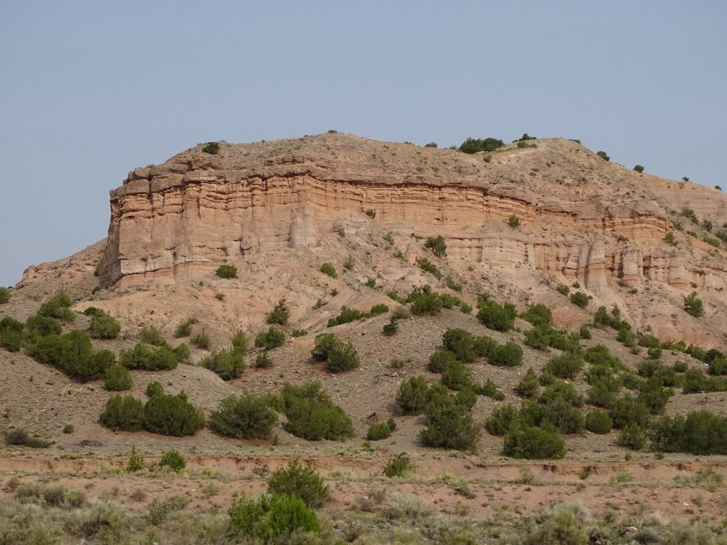
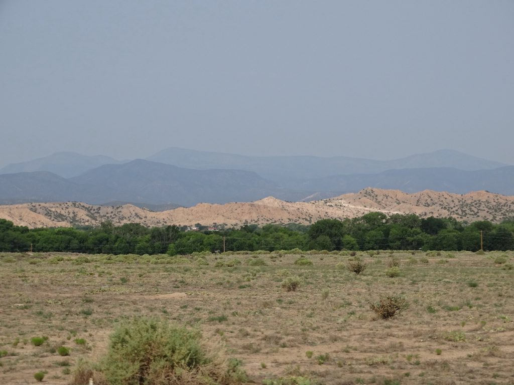
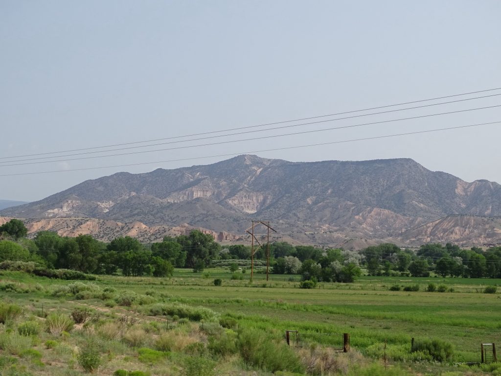
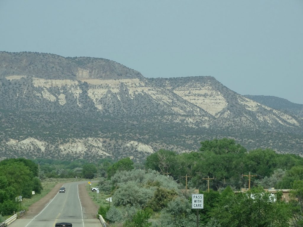
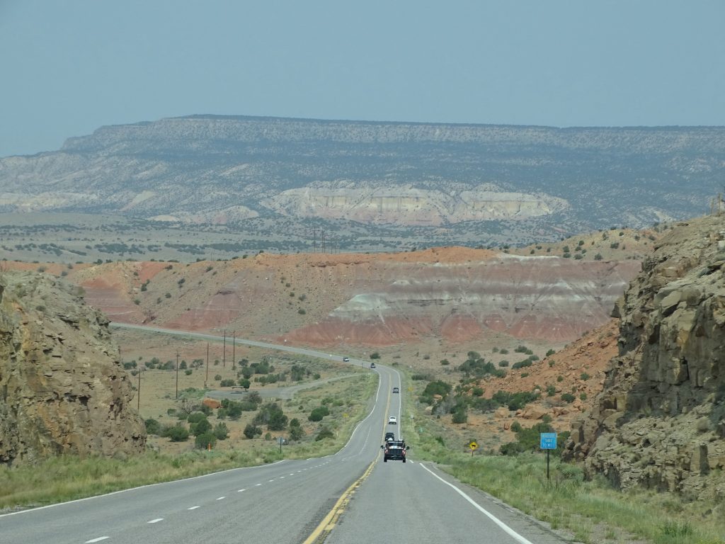
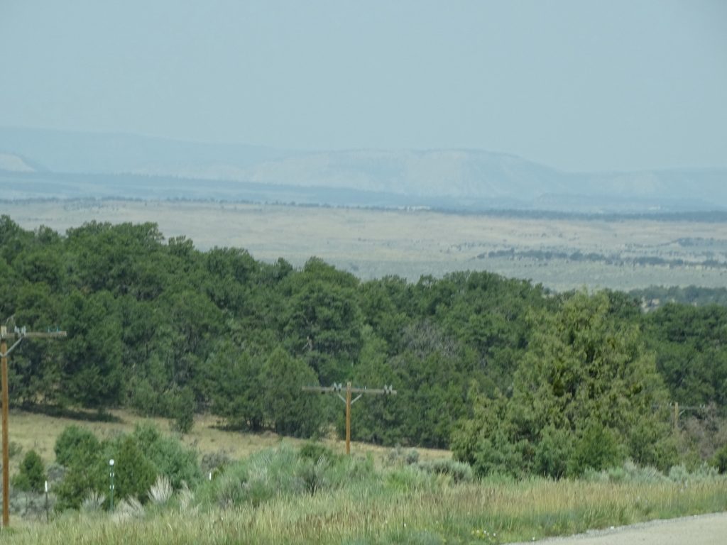
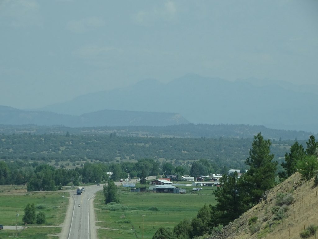
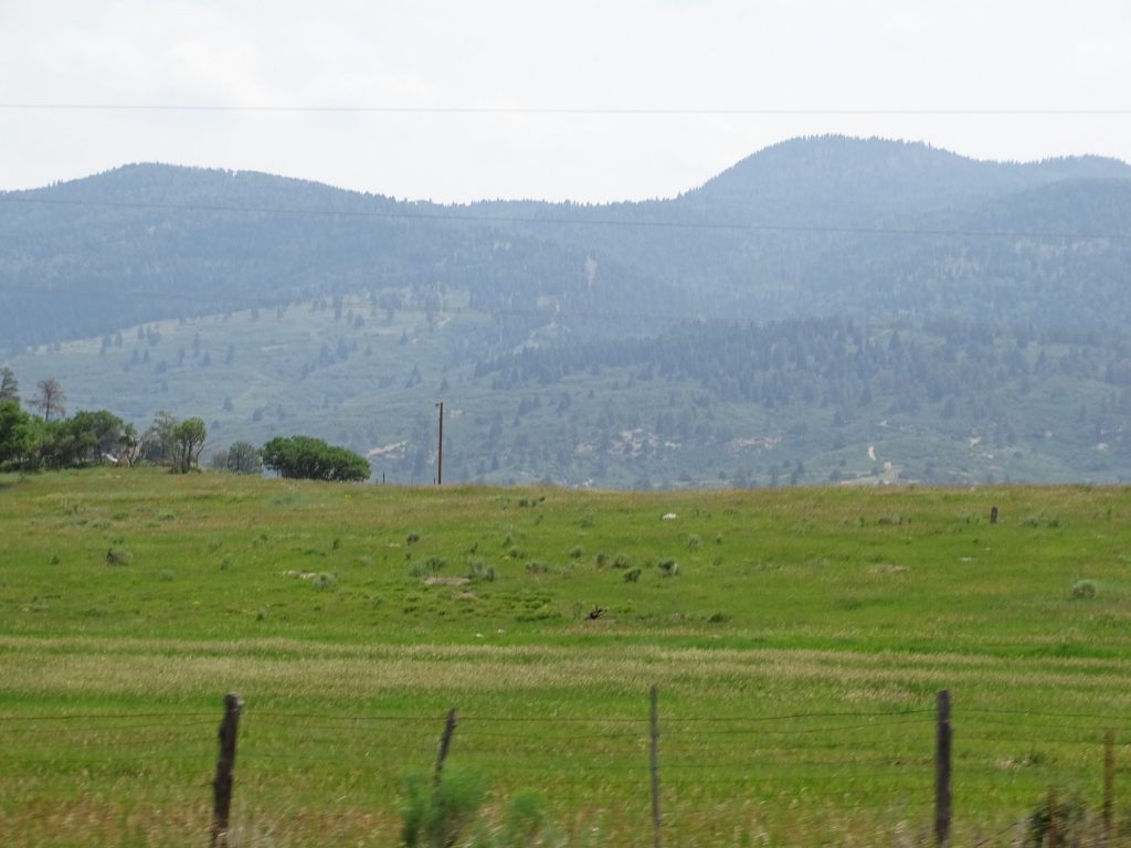
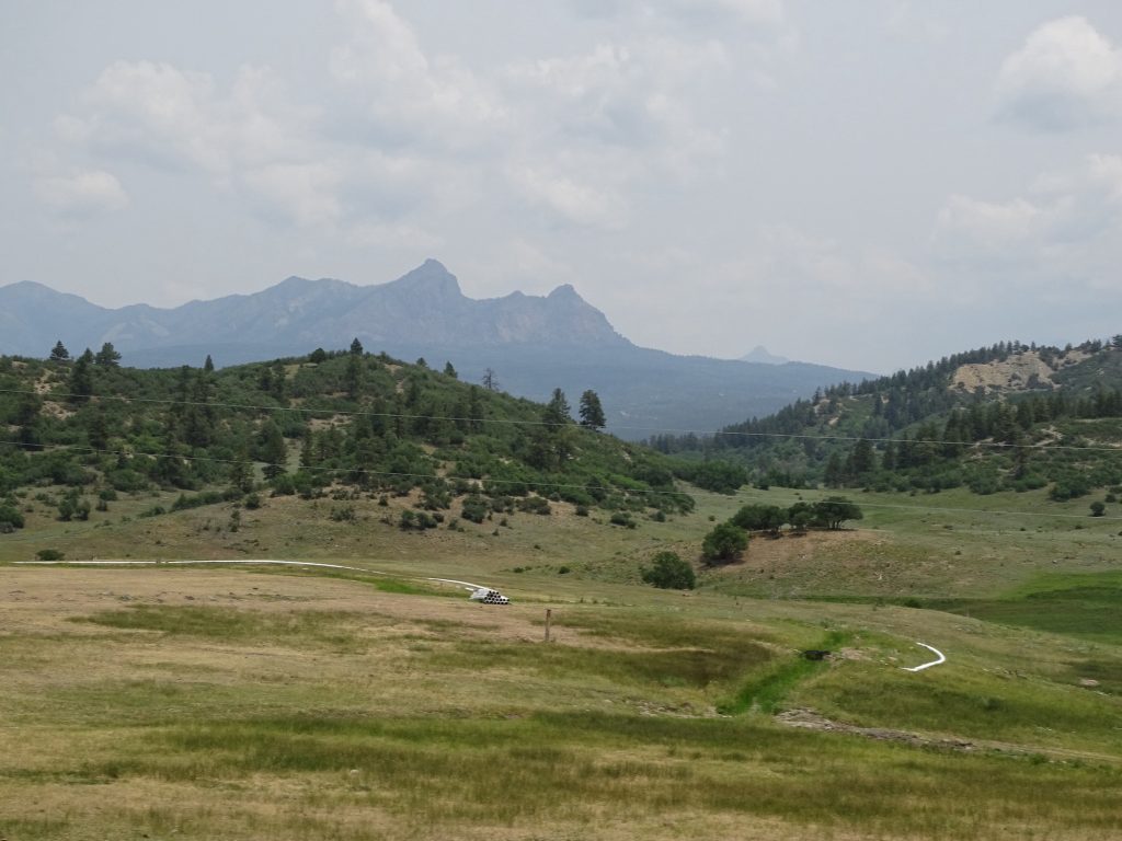
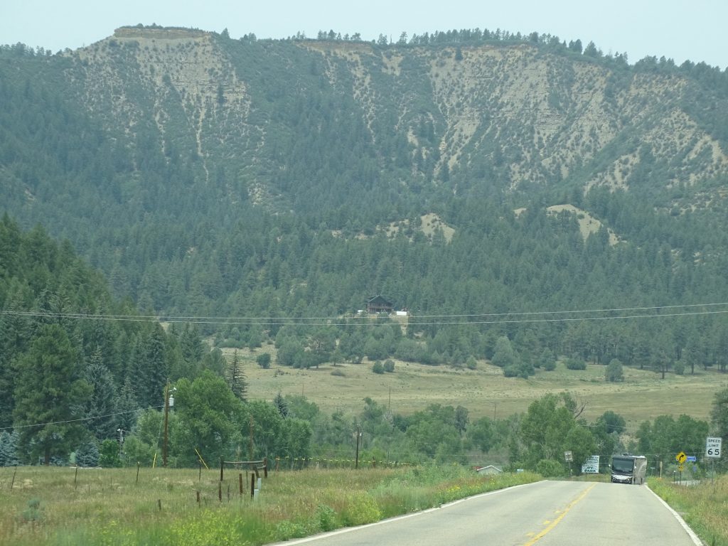
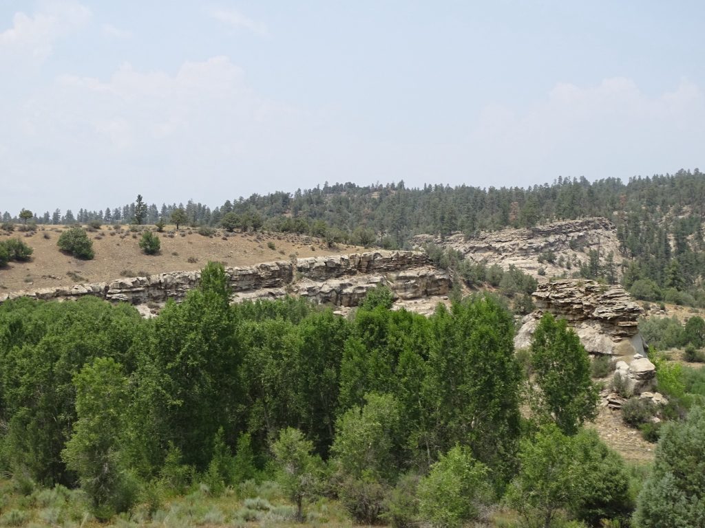
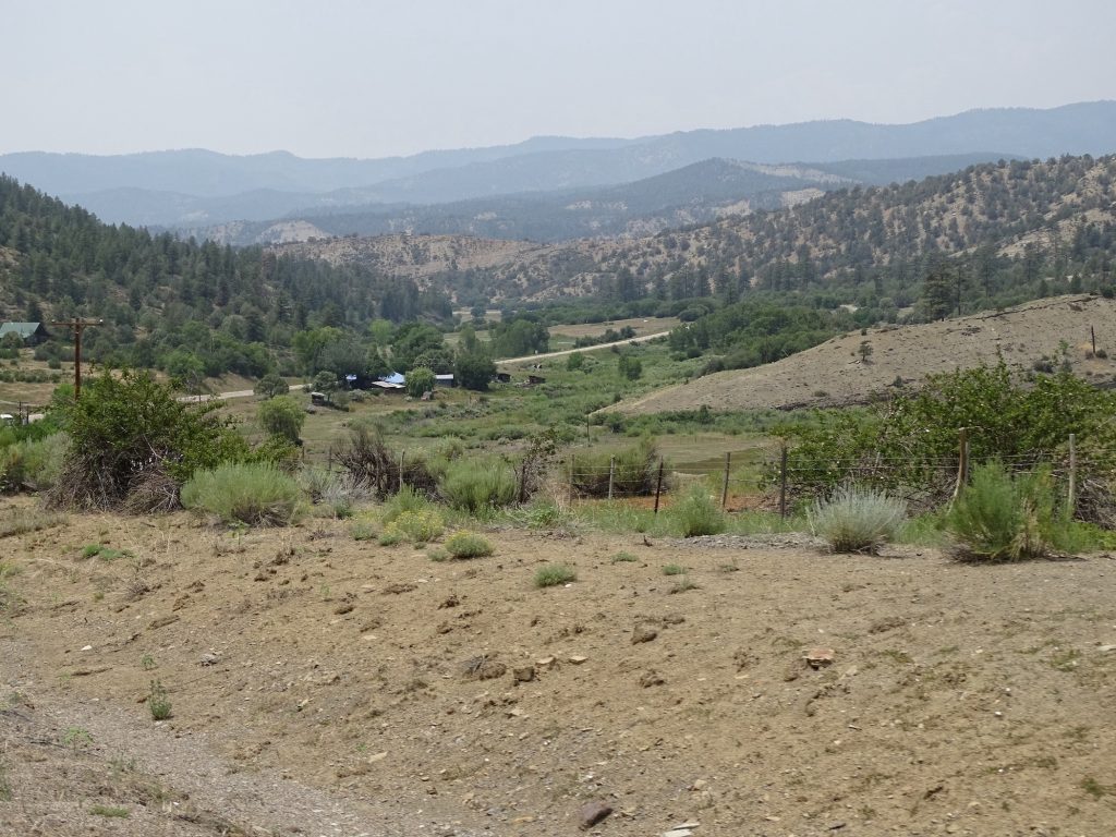
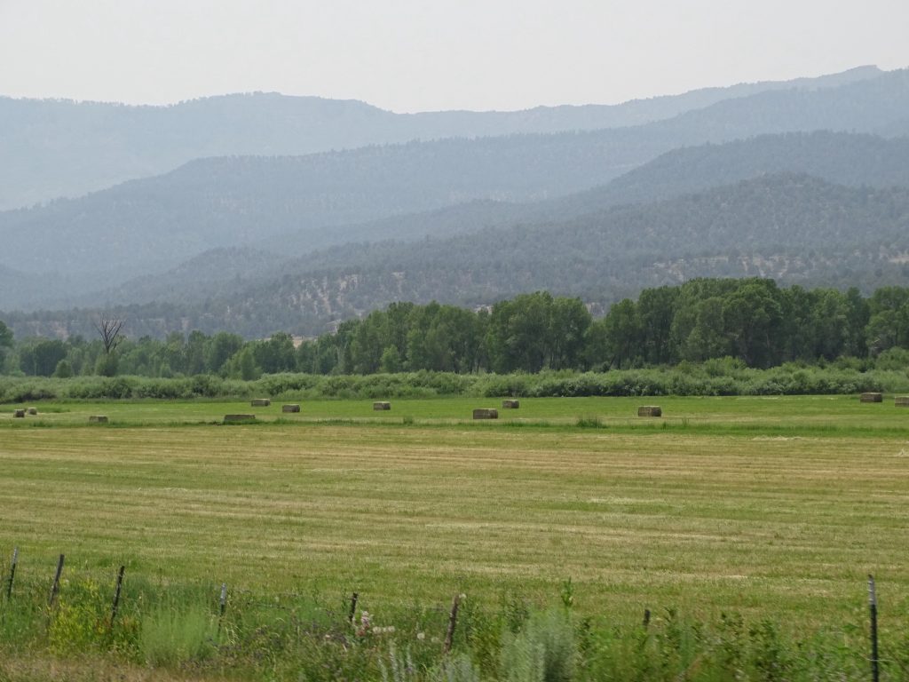
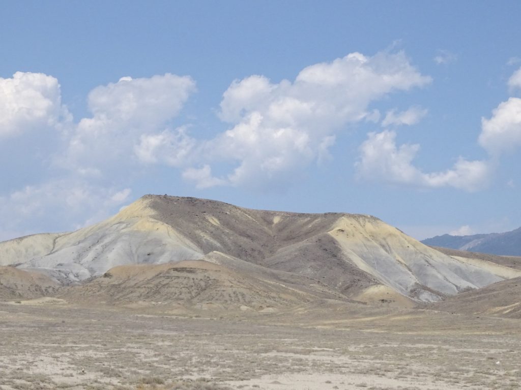
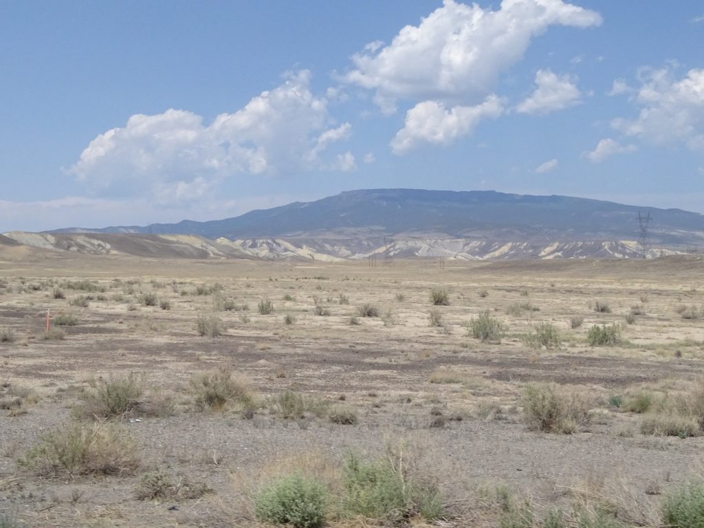
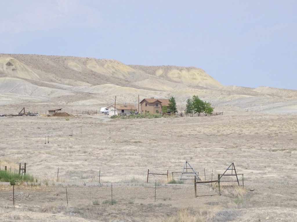
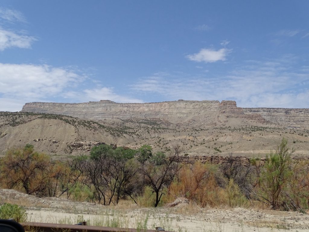
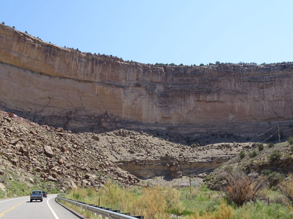
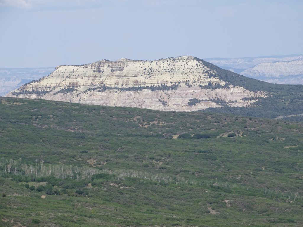
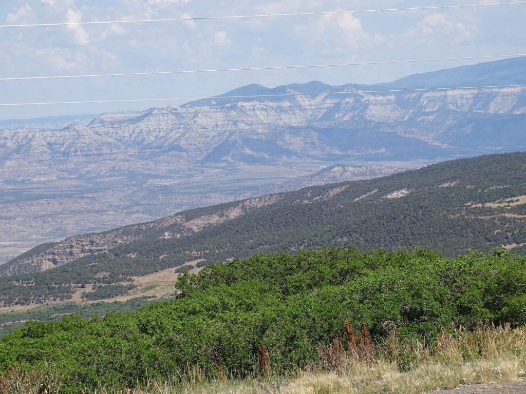
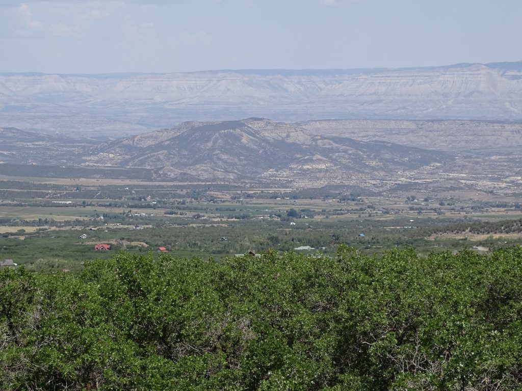
The word for this day was change. We started in a beautiful, green mountain area. Before long, we were going over the pass between Penasco and Dixon, where the terrain is more high desert. It quickly added steep rock formations and cliffs, still before Dixon. Next everything opened up to flat desert areas with huge mountains in the distance. Over the span of 240 miles, the changes were interesting. There were places where we were in desert scrub, topped a hill to find lush hills, and a few miles later it was all dirt and rock. Below is a progression of scenery. NOTE: Pics that look muted are taken through the windshield.

The Area We Were Leaving 
West of Dixon Coming Over the Pass

West of the Pass 
Near Ohkay Owingeh

Just East of Abiquiu 
Just West of Abiquiu

East of Abiquiu Reservoir 
West of Placitas

North of Tierra Amarilla 
Gallina

Dulce, Just South of the Colorado State Line 
Chromo, Colorado

Pagosa Springs 
Also Pagosa Springs

South of Chimney Rock 
A Few Miles North of Our Campground
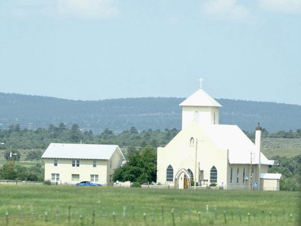
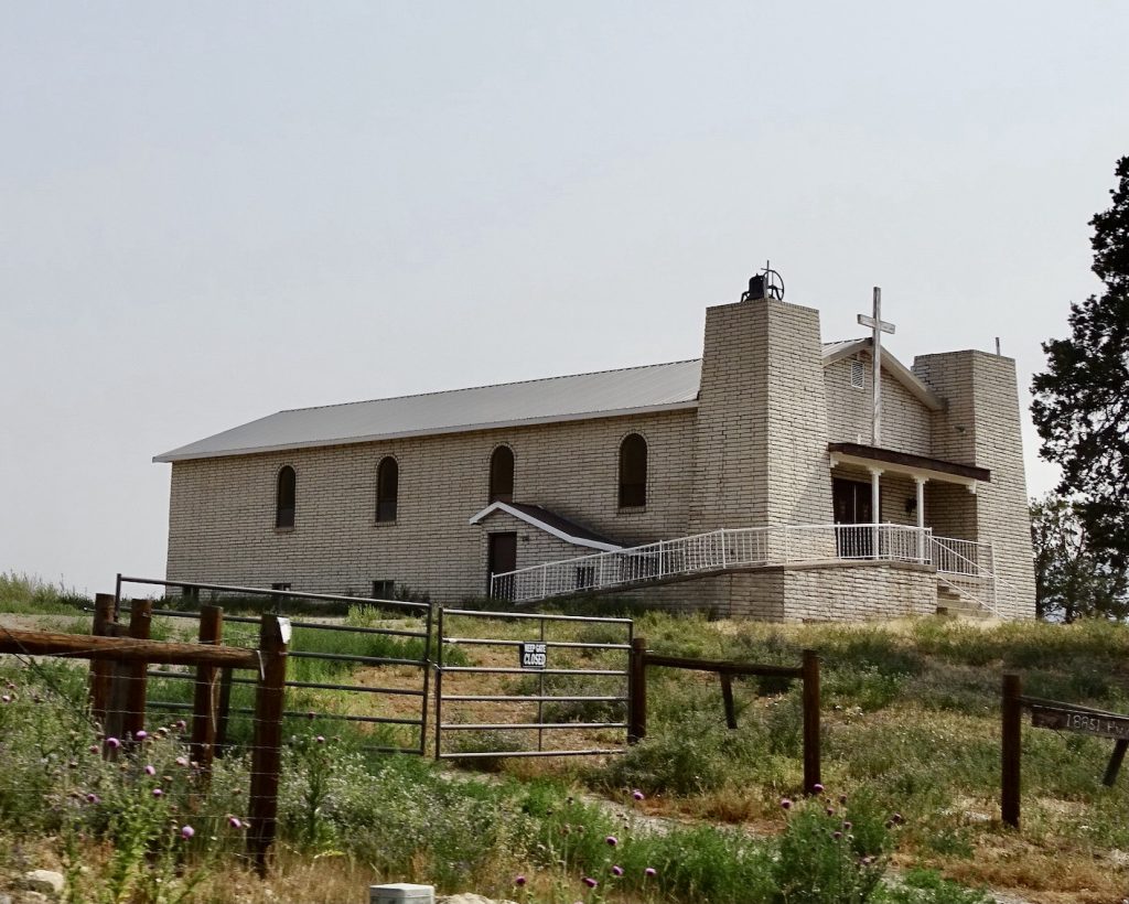
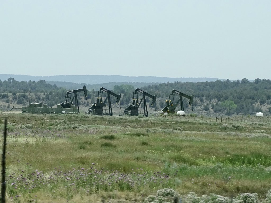
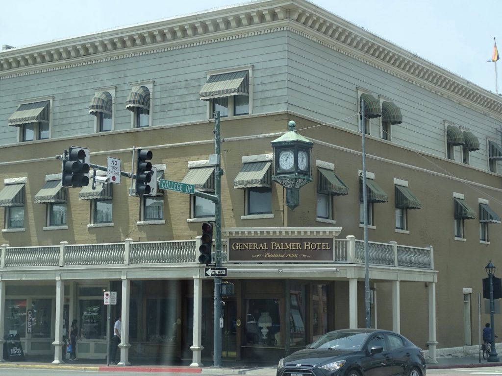
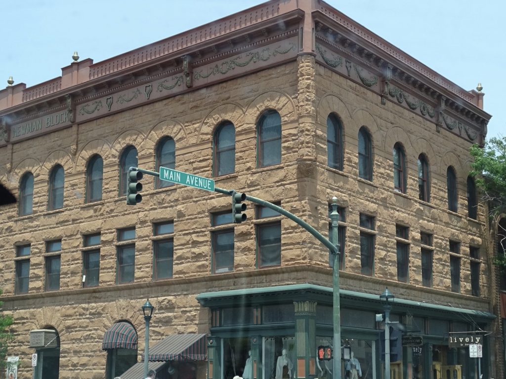
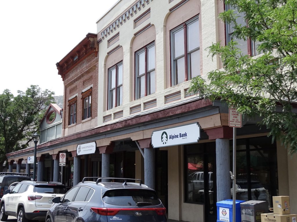
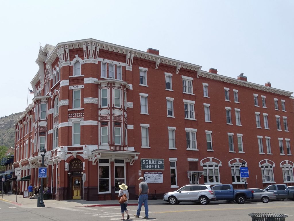
After a relaxing morning that included a nice walk on Tuesday, we headed out for a drive, first through Ignacio, then to Bayfield. Along the way we saw quite a few oil pumps, some sites with several going at once. Must be over a pocket of good stuff! We stopped for lunch at Bottom Shelf Brewery, where MW had the BSB Reuben and I had the Popeye Salad. Both were delicious. Next we headed up to Durango, and hit Albertson’s for some groceries, then drove through the historic downtown area. Durango is one of those places you could go to and explore for several days. It is in the middle of spectacular mountains, and there are lots of shops and restaurants in town. While very busy, it was not nearly as crowded as Pagosa Springs, maybe because it is more spread out. After checking it out a bit, we headed back to Petunia taking CO-172 back through Ignacio.

Church in Arboles 
A Herd

Downtown… 
…Bayfield

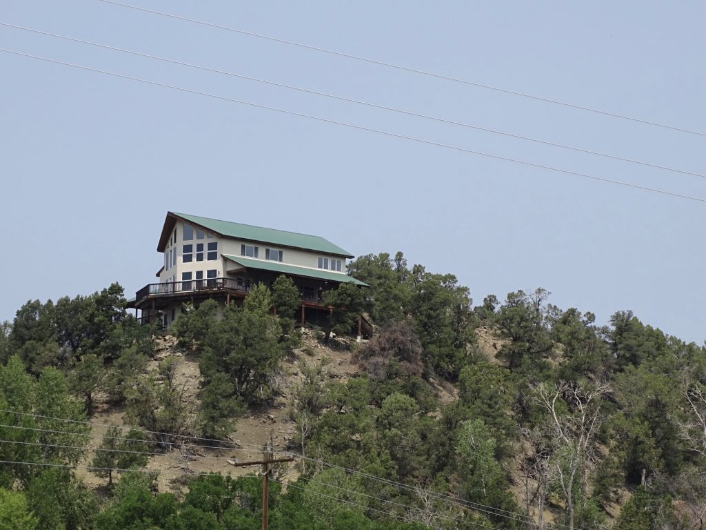
House Near Bayfield 
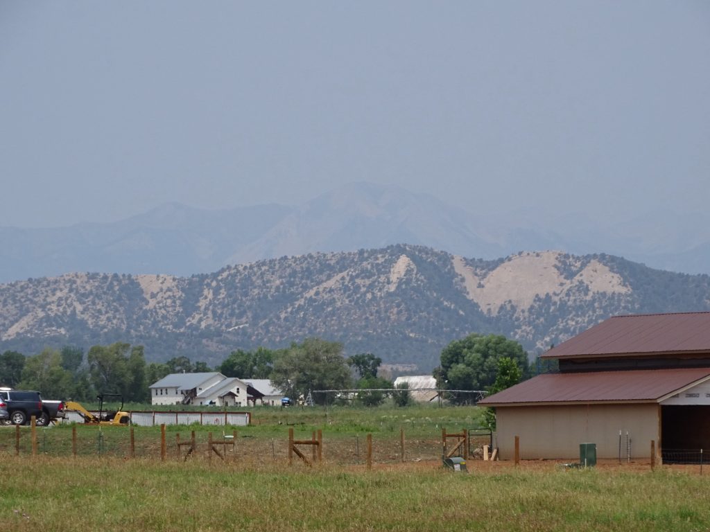
Look Closely…Two Mountain Layers

Hotel Established 1898 – Durango 
Durango

Durango 
Durango

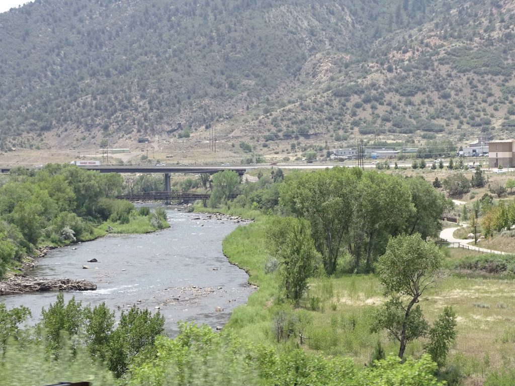
Animas River in Durango
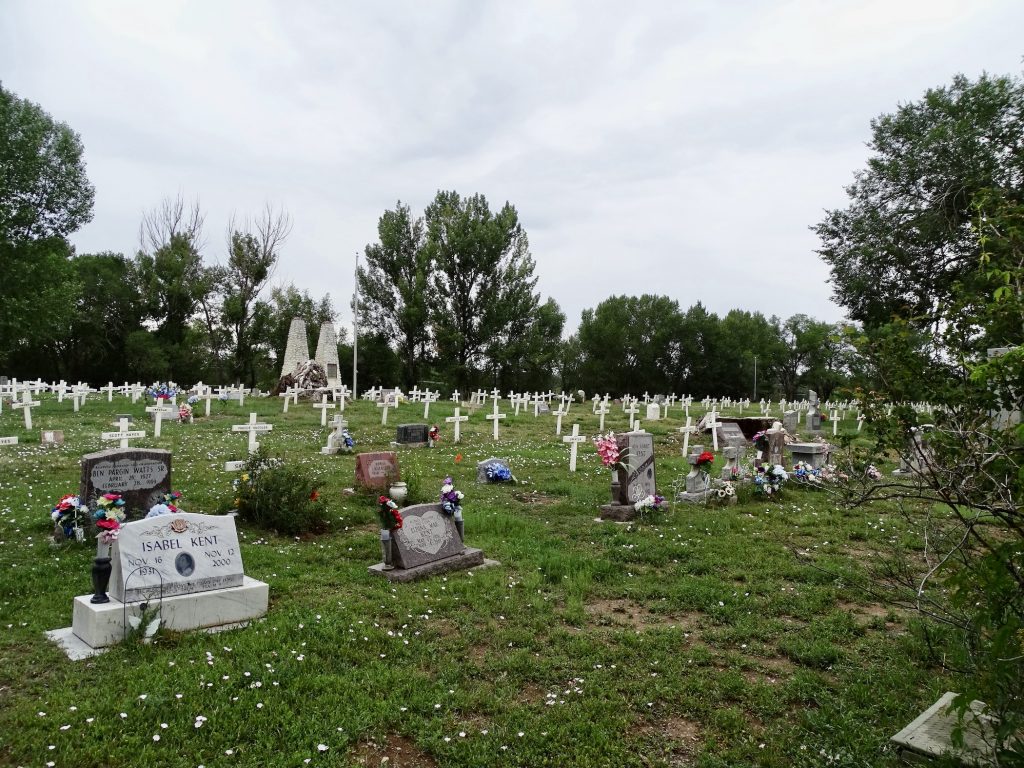
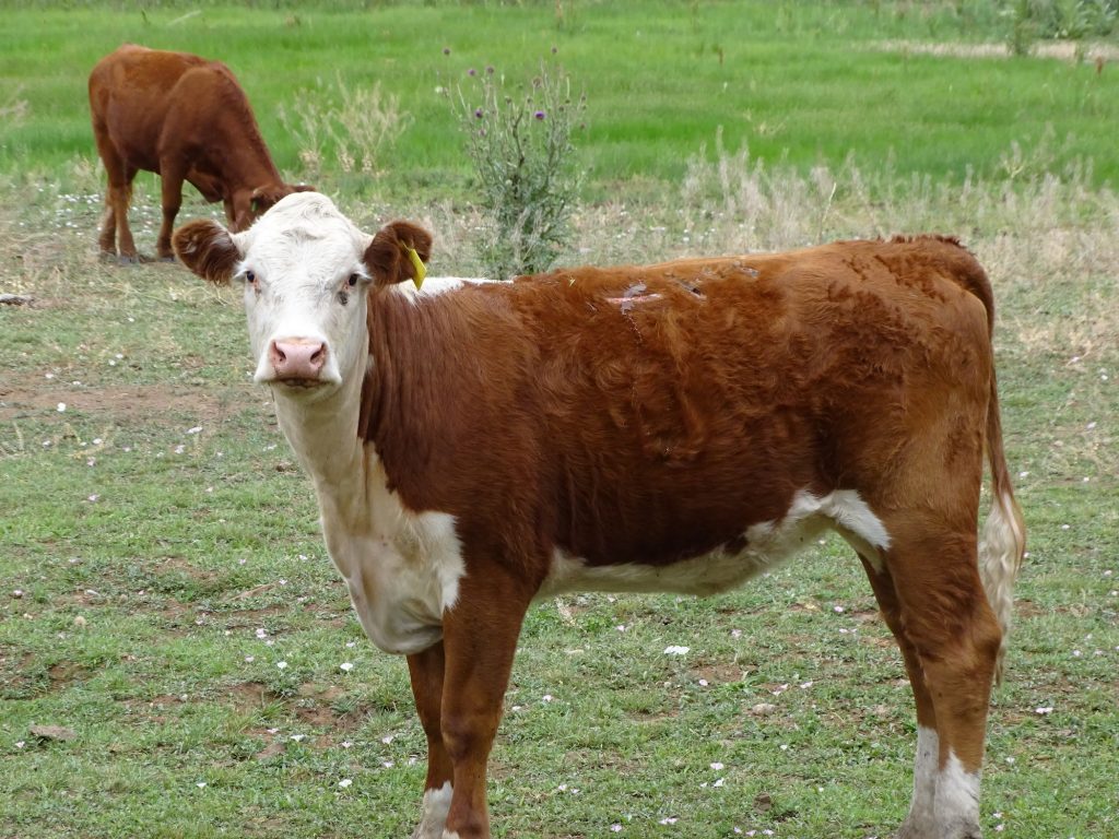
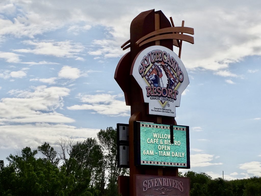
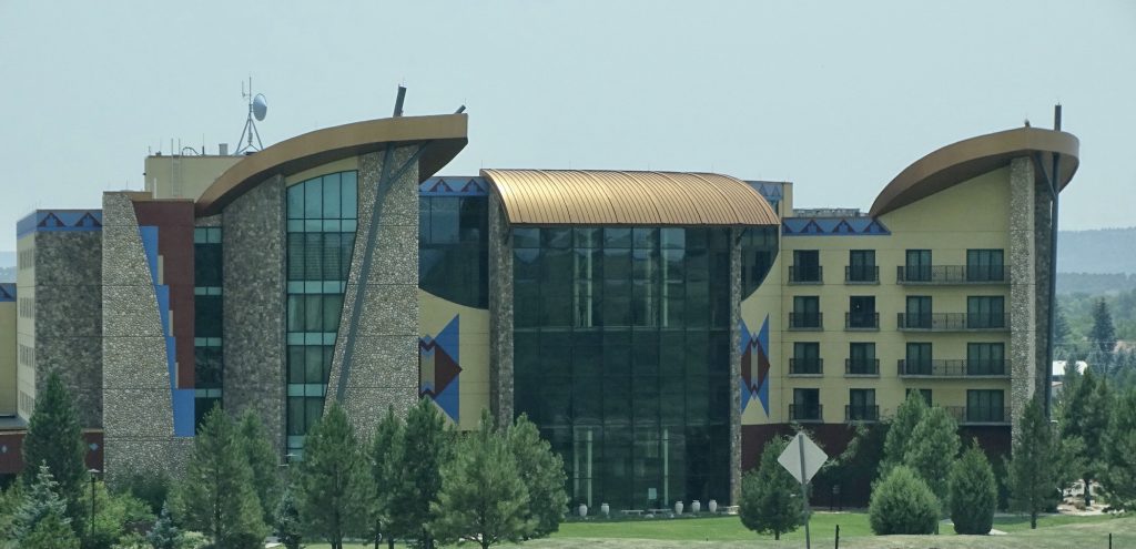
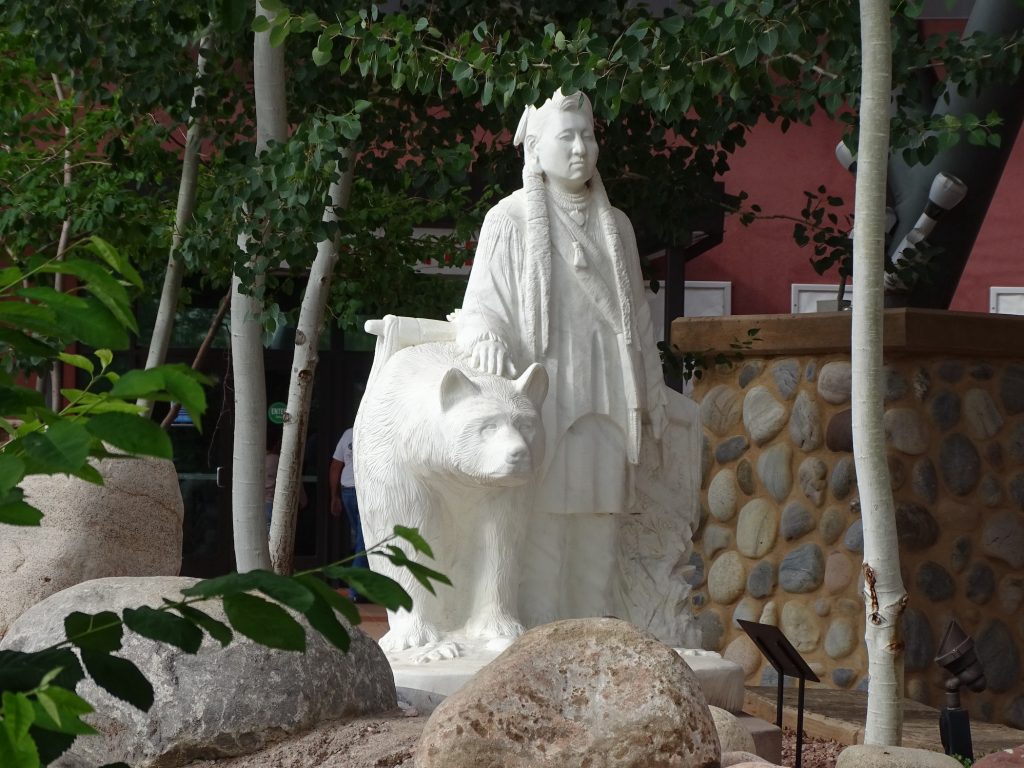
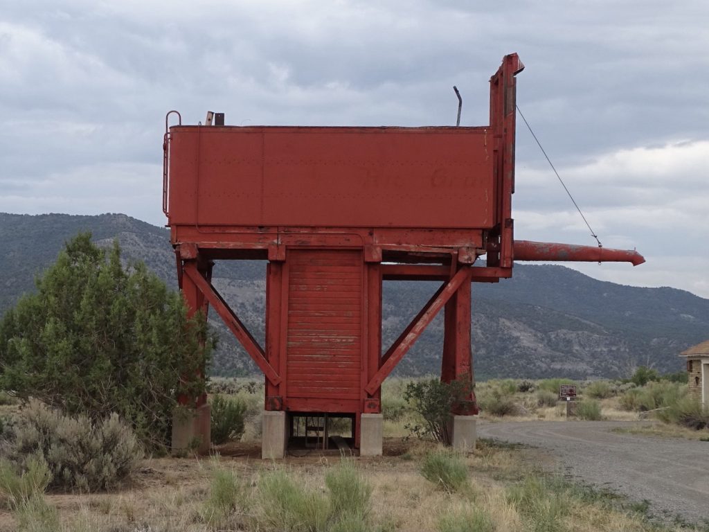
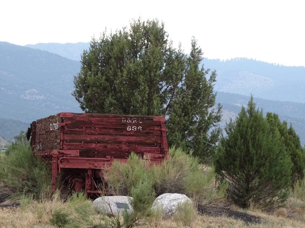
Wednesday started with a very bad migraine, but thankfully, I have drugs for that. They do take a little time to work and leave me feeling tired, but that’s still a 1,000% improvement over the headache. I laid around for a while until I felt better, then loaded everything up to head over to Bayfield and the Bayfield Family Laundry. They had a nice setup including booths to work at, and except for one guy who finished up just as I was arriving, I was alone. Perfect. I prepped for a couple of business calls later, then walked down to the Blue Sky Cafe to have a bite (chicken salad). The best thing about today has been the overcast, that is keeping it blissfully cool. I found a local park, thinking I would sit at a picnic table and finish my calls. Didn’t find a table, but that worked out okay, because it started raining just a few minutes later. I finished the calls up in the truck, then ran a couple of other quick errands before heading back to Petunia. On the way, I stopped to check out this cool cemetery that we could see from the main road. It had lots of simple, white crosses. Upon closer inspection, many had names, but many say “unknown”. While I was checking out the cemetery, a cow in the field right across the street clearly wanted attention. LOL. I walked over to the fence, and he came right up. Can’t help it…I think cows are adorable. Later MW and I headed over to the Sky Ute Casino Resort for dinner at the Rolling Thunder Grill. The casino is pretty nice, but the tables won’t open back up until the end of the month. The facility also has a hotel, a couple more restaurants, a bowling alley, and a campground. I had been craving steak for a couple of weeks, but that was not the place. Their 10 ounce ribeye is less than 1/2″ thick, so it is impossible to get it prepared correctly. MW said his ribs were very good, though, and the portion was huge! On the way back, we checked out more of the park and found one of those old watering towers for a train like you see in westerns. Turns out that, before the reservoir was built, the Denver and Rio Grande Narrow Gauge Railroad ran right through the park and across where the lake is now. Pretty neat.

My Morning Greeter 
Part of the Huge Cemetery

Hay, Hay, Hay! 
Sky Ute Casino

Resort Hotel


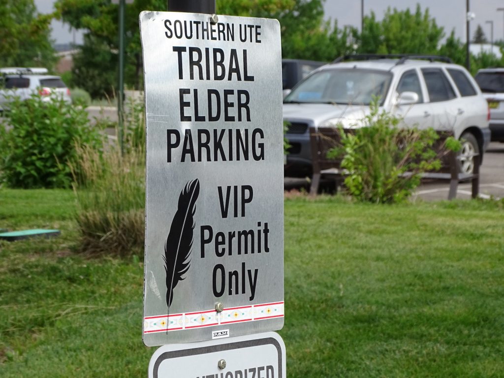
The Southern Ute Elder Was Driving a Cherokee
Shouldn’t They Have a Rule About That?

Water Tank 
Old Abandoned Car

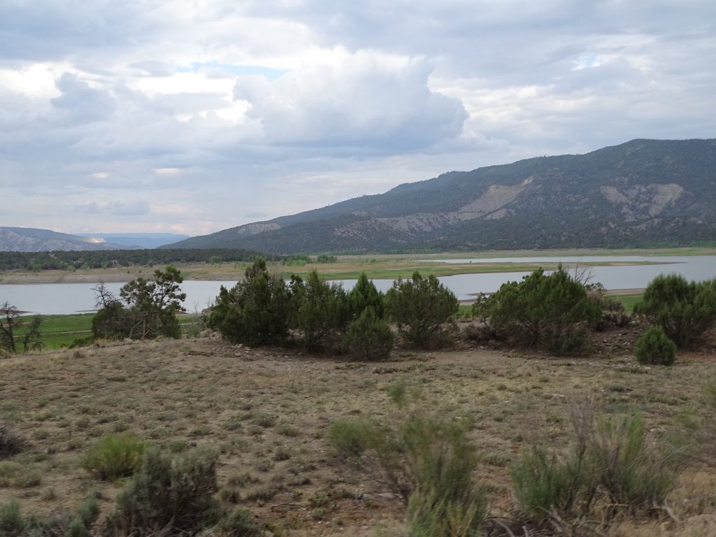
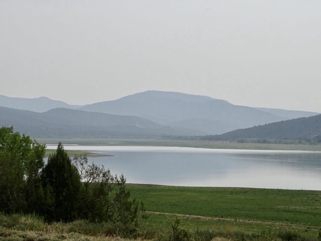
Navajo Reservoir 
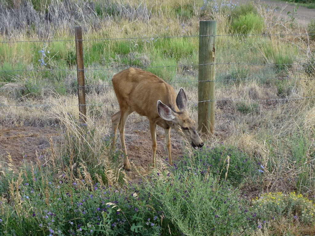
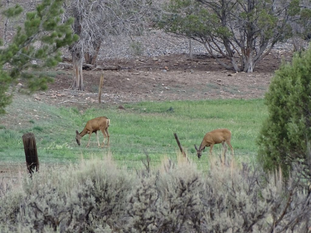
Beautiful Mule Deer
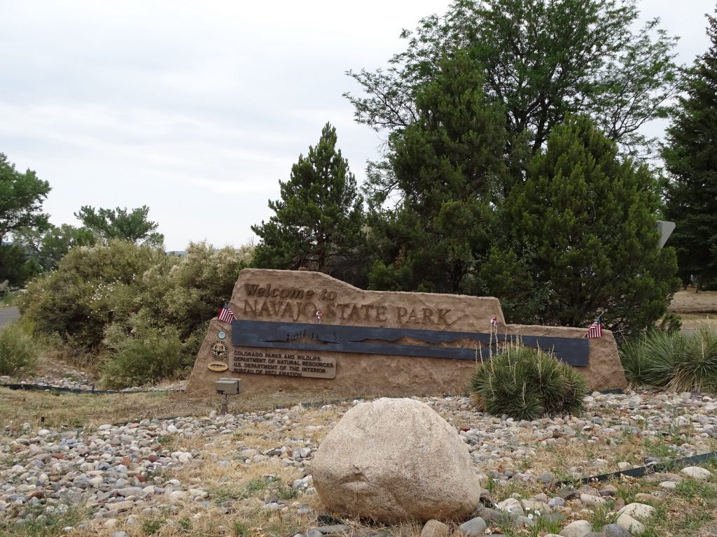
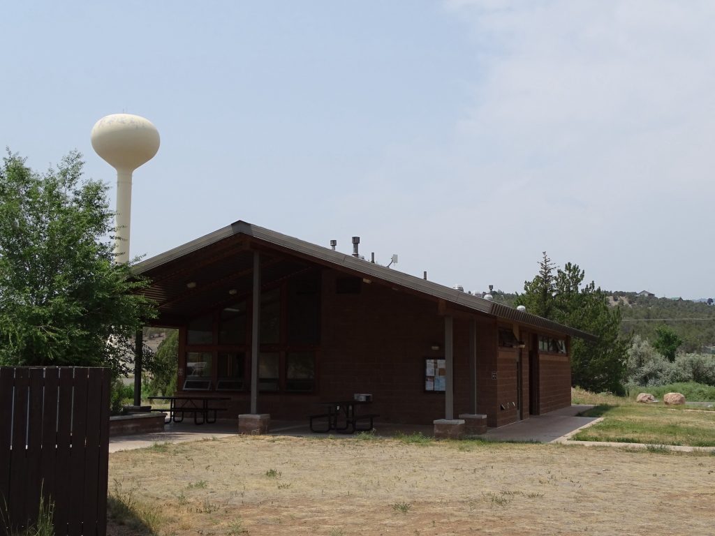
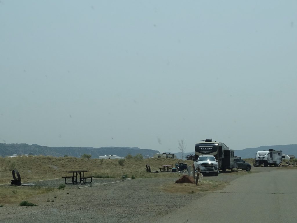
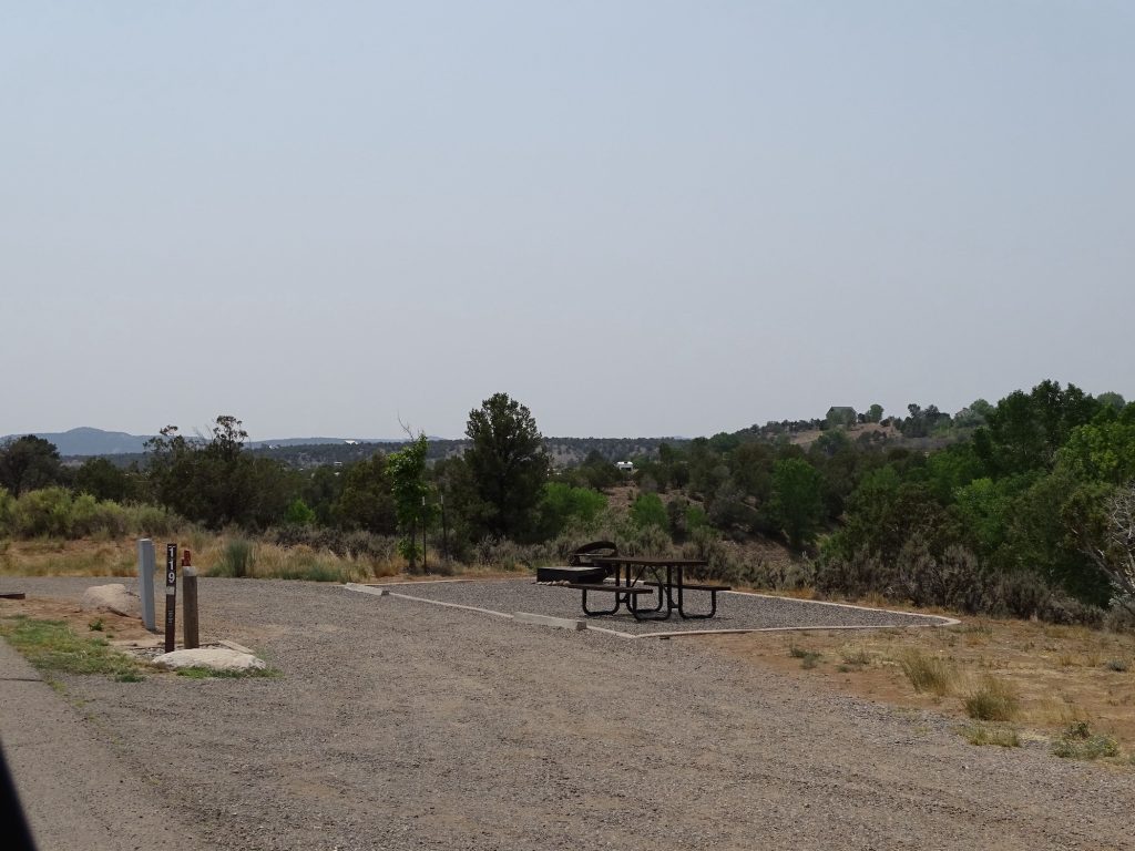
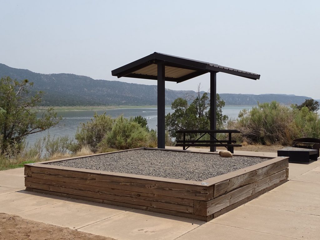
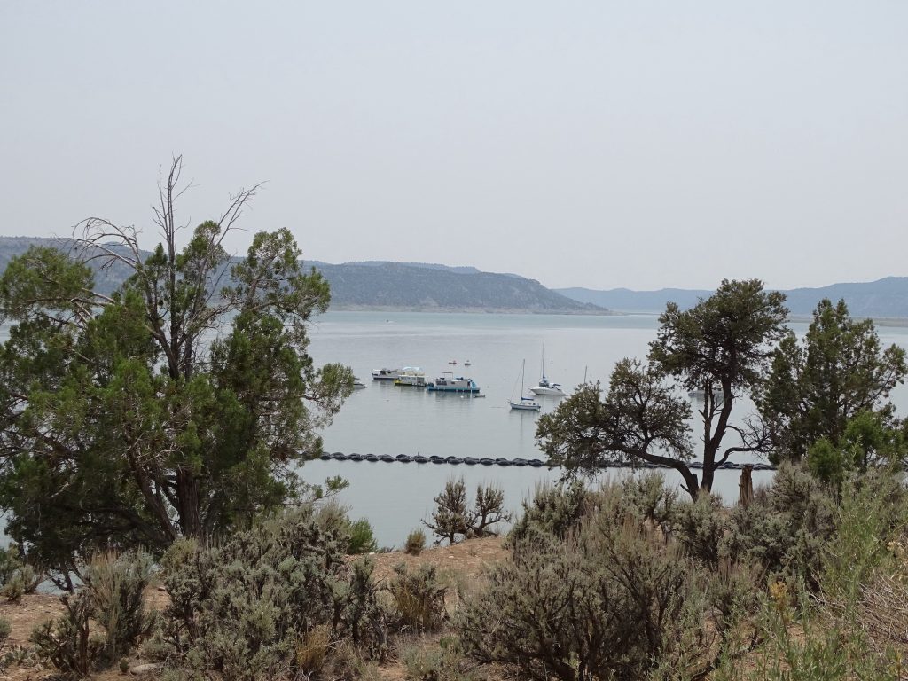
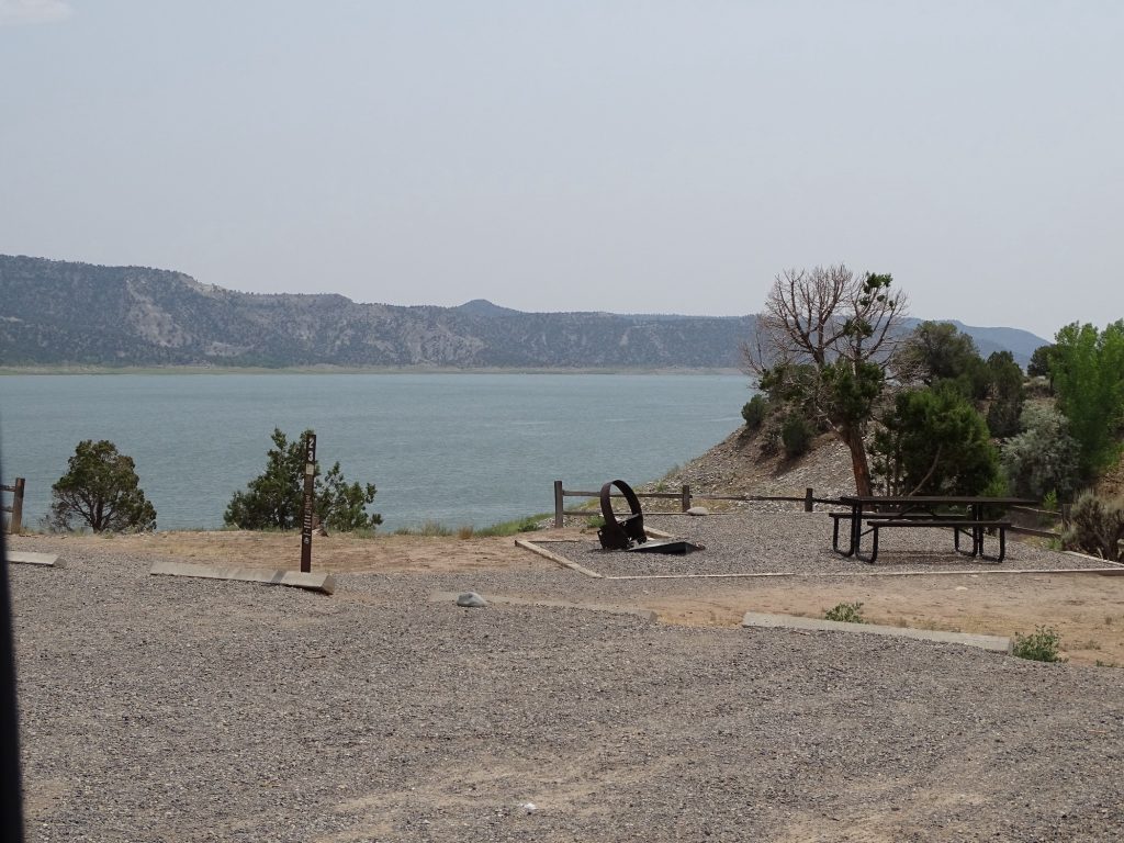
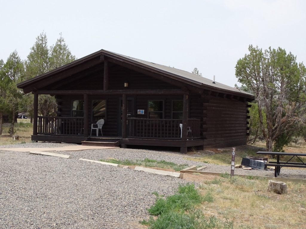
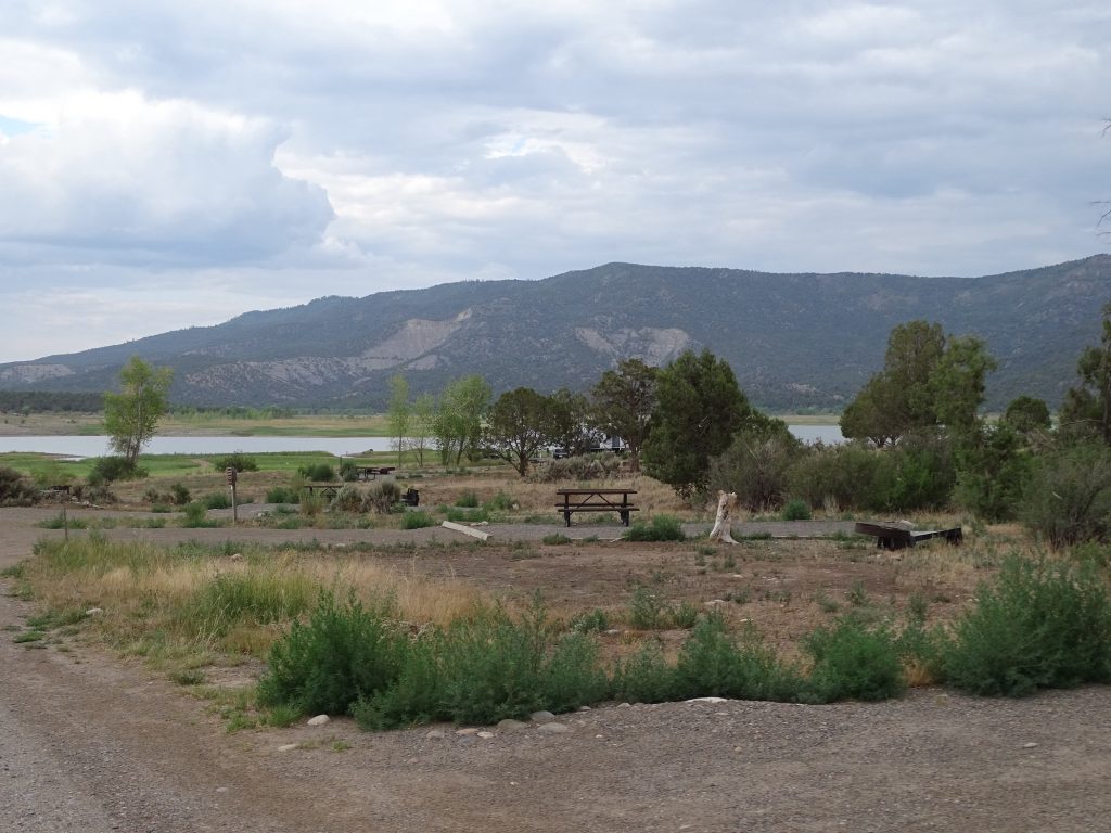
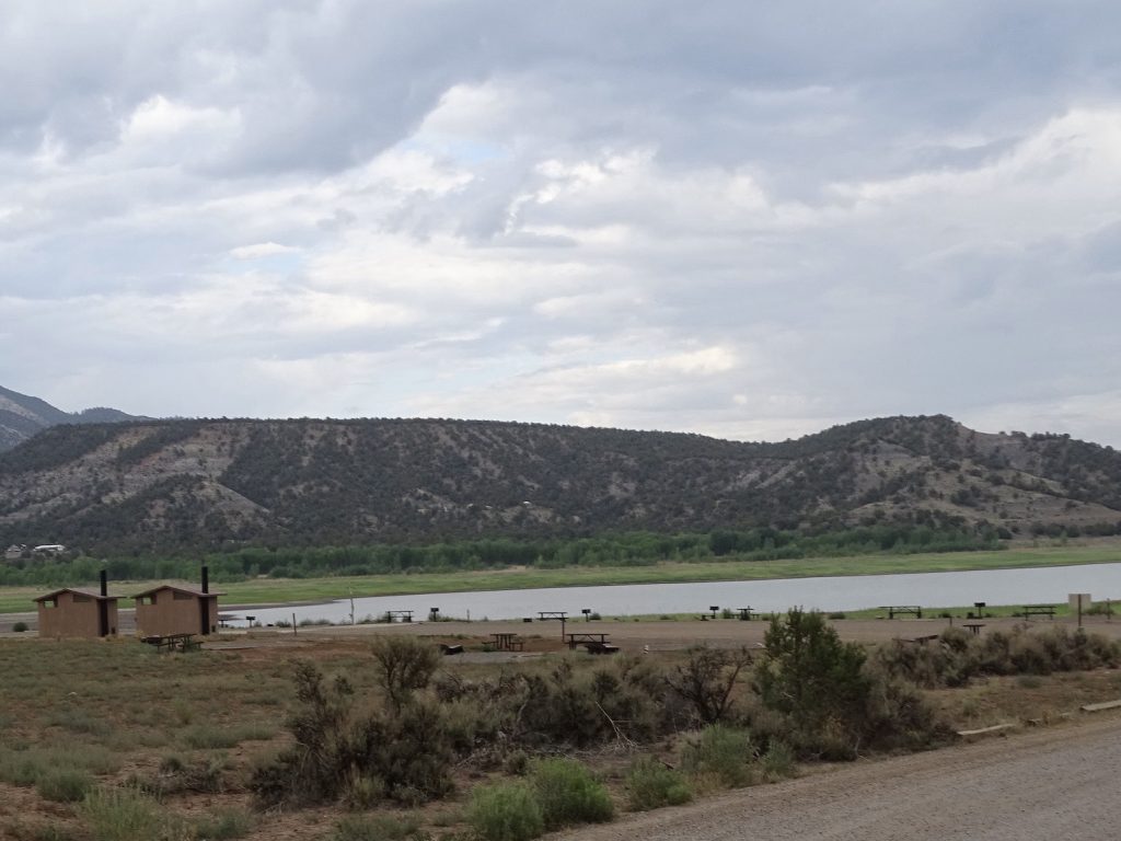
Navajo State Park is on the Navajo Reservoir of the San Juan River, and it’s pretty nice. The road to get to the park, though, isn’t the best, but it is fine if you aren’t a speed demon. Both Pagosa Springs and Durango are less than an hour away, so there are plenty of shopping, dining, and sightseeing opportunities. The park runs the gamut of boating activities (with boat ramp) and a bit over 6 miles of hiking trails. The lake is only accessible at the boat ramp and at Windsurf Beach, though. The rest of the park sits on a rise high above it. There are fully furnished cabins available, and several camping options in 5 locations…39 full hookup, 41 electric only 30/50 amp, 43 non-electric, 4 double RV/tent, 6 tent, 8 walk-in tent sites. Sites have covered picnic tables, grills, and fire rings. (There was a fire ban while we were there.) All loops have either a bathhouse or vault toilets (Windsurf & Arboles). We were on Carracas, and MW said the bathhouse was nice and clean. For this stay in July 2021, we paid $123 for 3 nights, which included $27 in entrance fees.


Picnic Pavillion

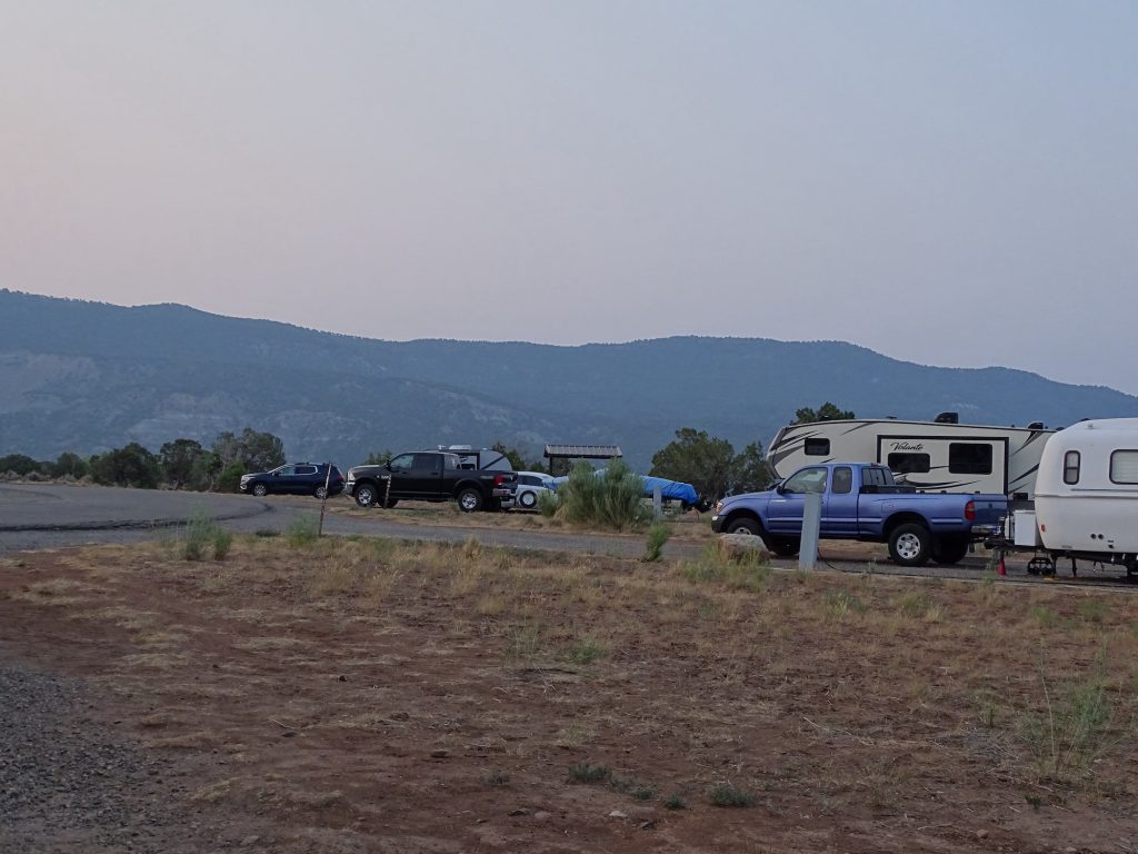
Carracas Loop 
Reservoir

Bathhouse at Rosa Loop 
Rosa Loop

Rosa Campground 
Walk-In Tent

Boat Mooring 
Primitive

Cabin 
Petunia

Now That’s Funny

Windsurf Beach 
Windsurf Beach
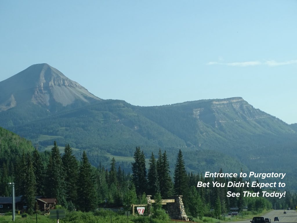
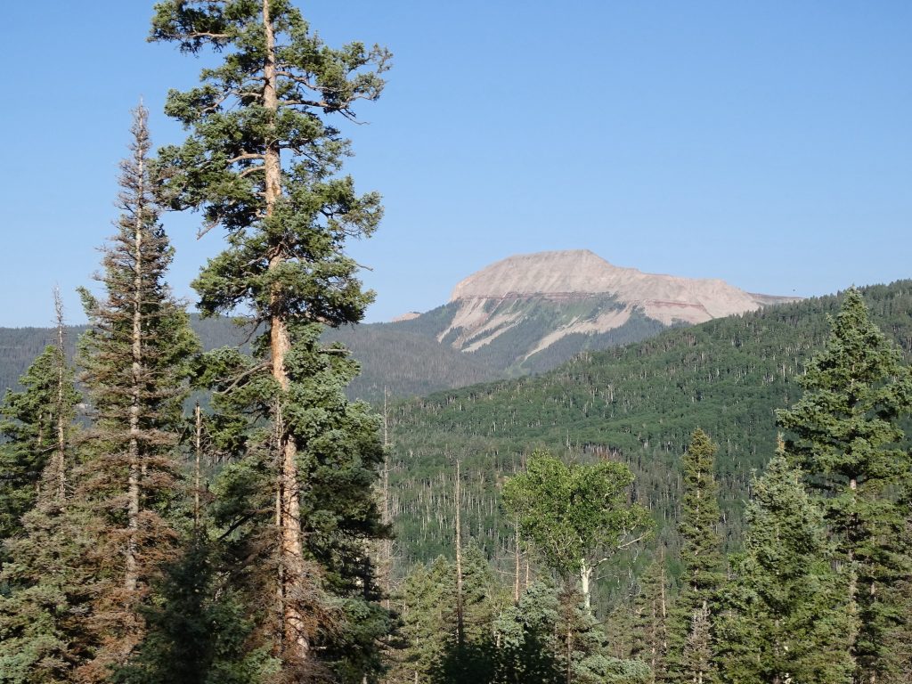
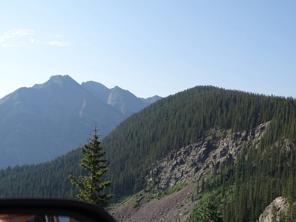
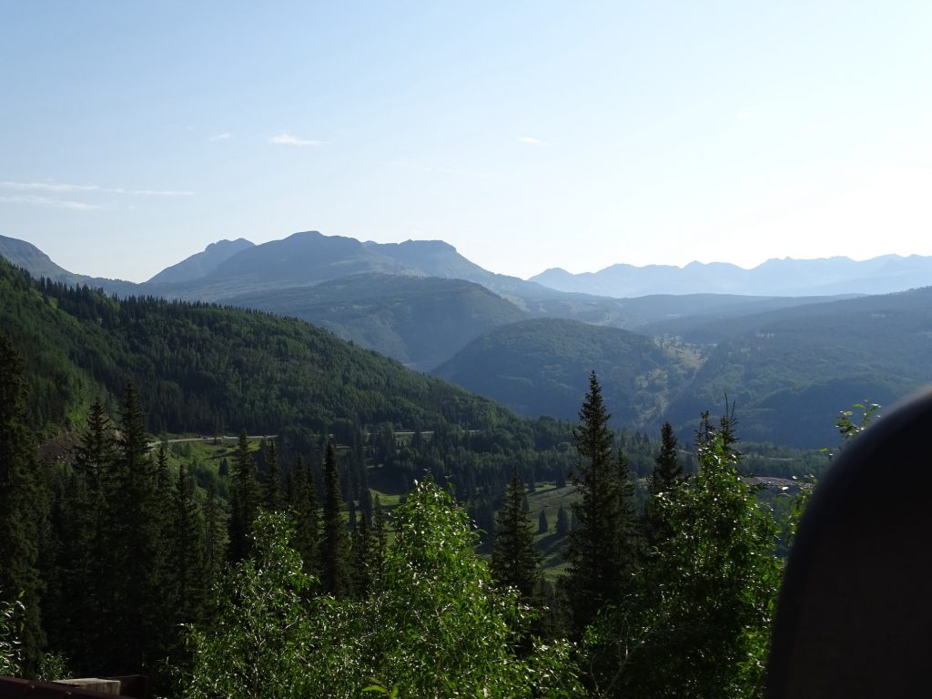
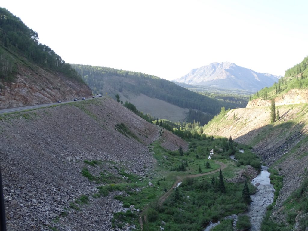
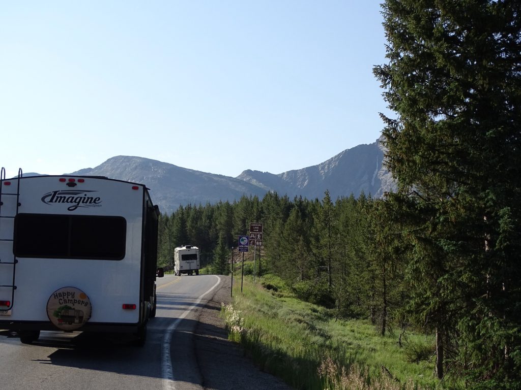
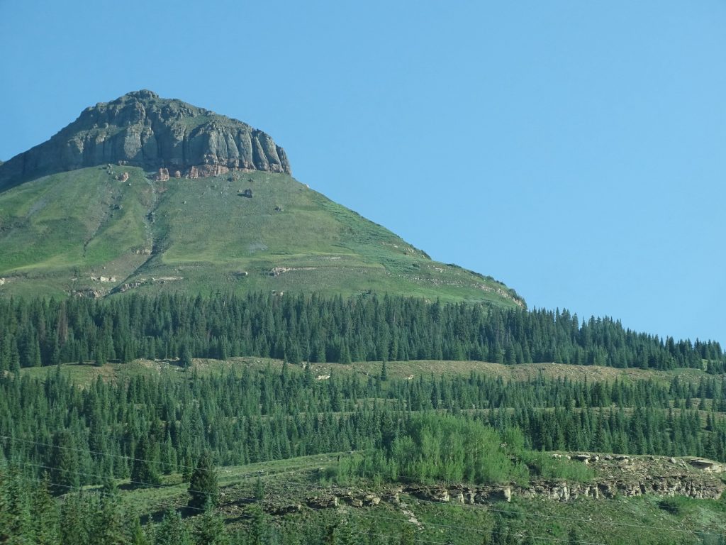
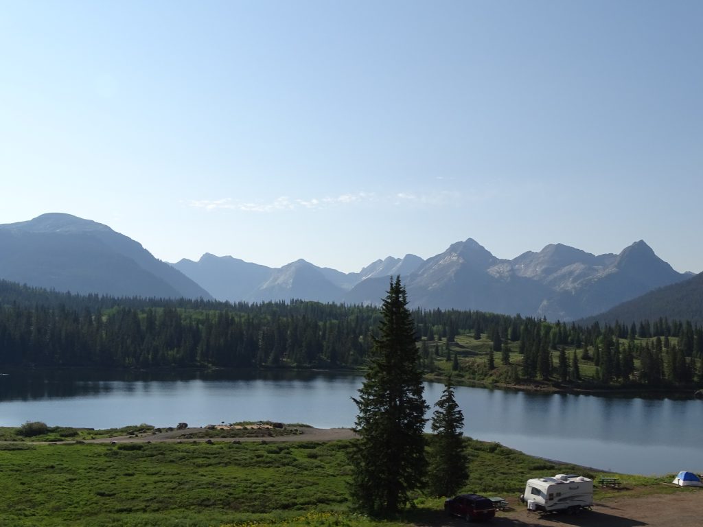
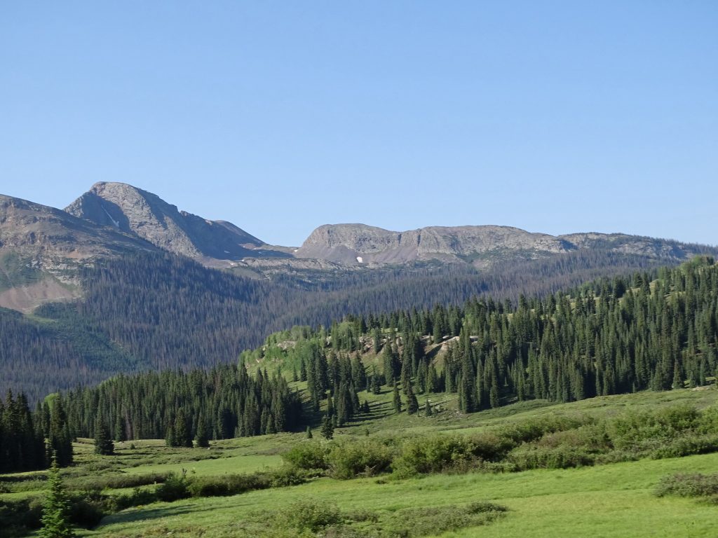
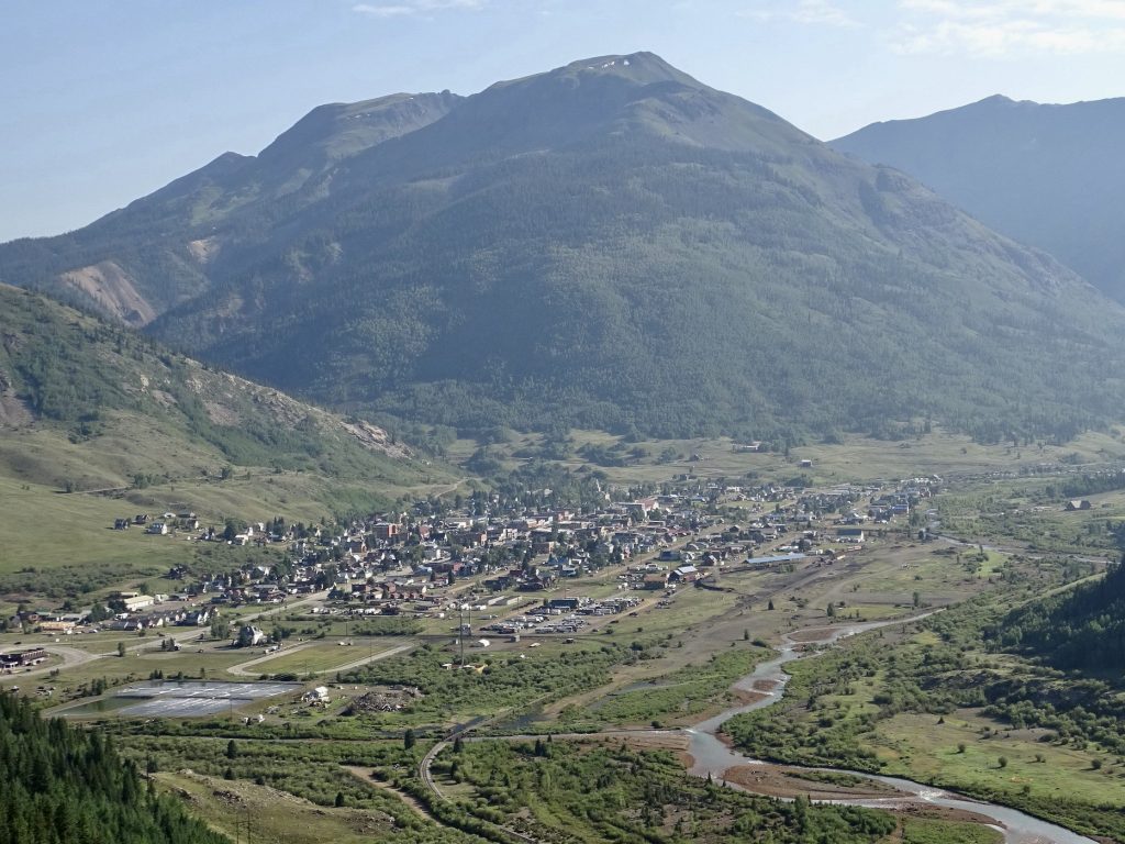
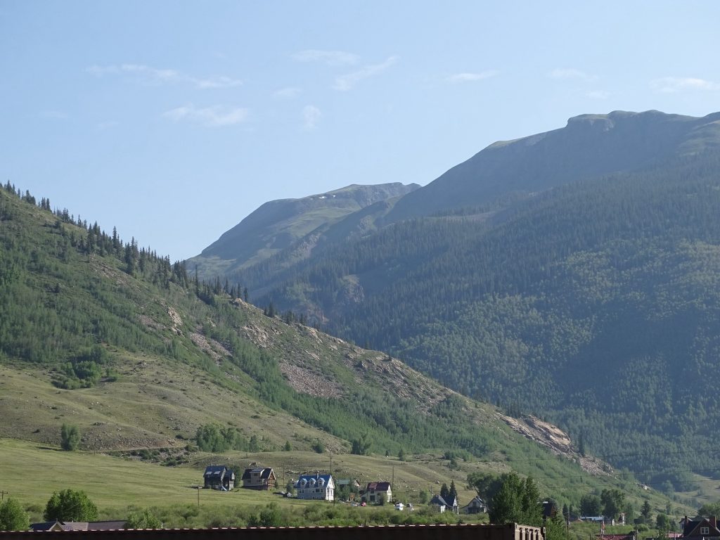
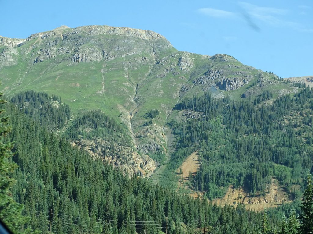
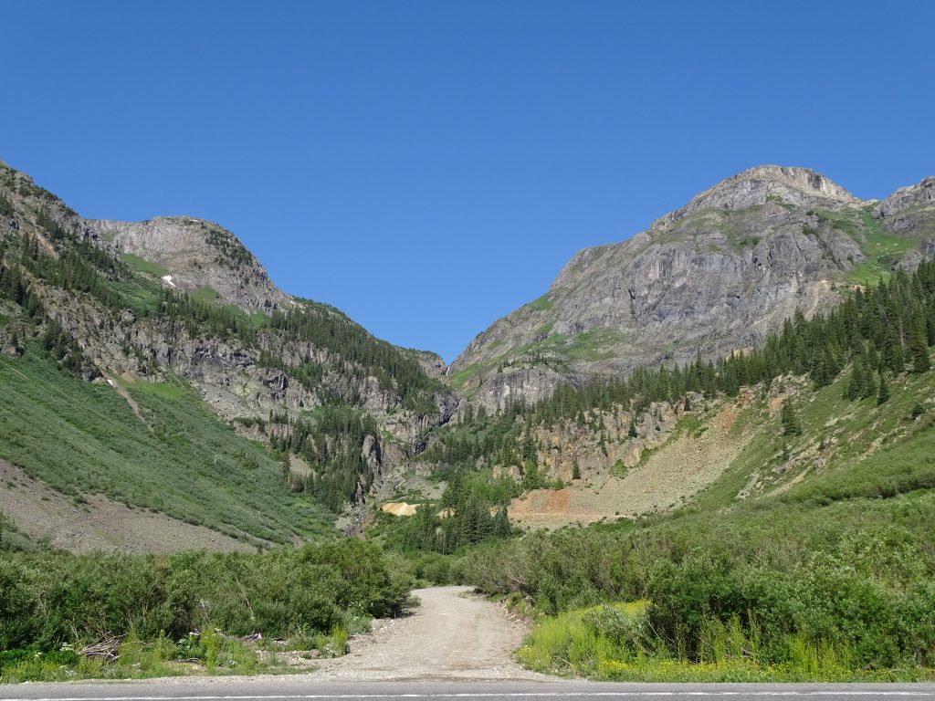
On Thursday we were out by 6:30ish. We had a good ways to go and a neat stop planned in the middle. Our route took us back to Ignacio, where we caught CO-172 up to Durango. Then we took US-550 north up to Purgatory, not the last stop before heaven or hell, but a cool looking skier’s paradise. Still climbing, we crossed Coal Bank Pass at 10,640′, deep in conifer forests with nice cool temps. A little later we crossed Red Mountain Pass at 11,075′ just north of Silverton. Brutus has been flexing his muscles these last few days! We stopped at Montrose to walk around Target and grab a few things. Next we walked across the parking lot to Culver’s for lunch. (I think I’ve said it before, but MW believes they have the best fast food burgers around…very fresh tasting. Their grilled chicken sandwich is good, too.)

Sunrise at Navajo State Park

North of Durango
San Juan National Forest
Near Purgatory

Aspen Grove…Entire Grove Started by One Seed, Spread Through Roots
Some Root Systems are Estimated to Be 80,000 Years Old!


Near Purgatory

San Juan National Forest 
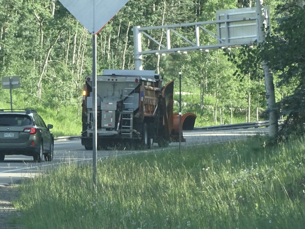
It’s July…I’m a Little Concerned Now

Climbing Up 
Just After Coal Bank Pass

Coal Creek Valley
See Our Road Across the Way?
Little Creek Valley – Still Climbing

Look…a Grand Design Train
Reflection, Imagine, and Reflection 150 (Us)
South of Silverton

Molas Lake

Near Silverton 
Silverton, Colorado

Looking Back from Silverton 
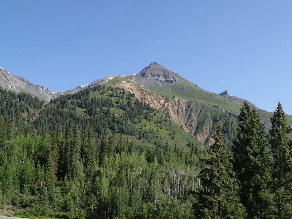
South of Red Mountain

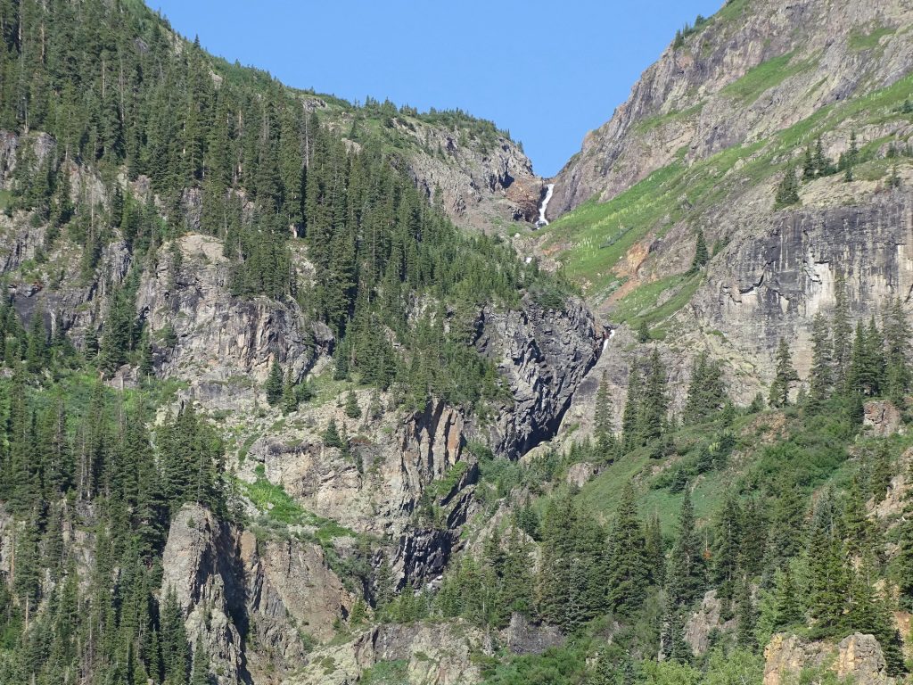
Can You See the Waterfall?

How About Now? 
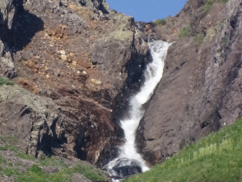
Up Close and Personal!

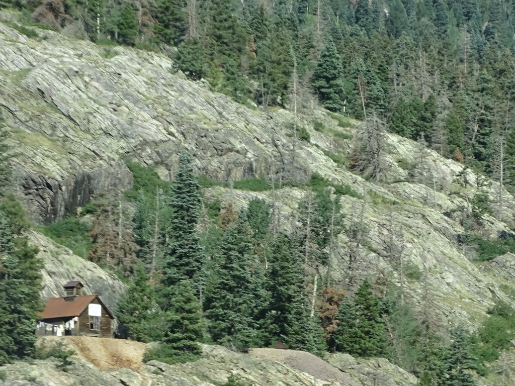
Old Mining Equipment 
As High As We Are
There’s Still More UP

Nice Spot…Near Ridgeway 
Ouray, Colorado
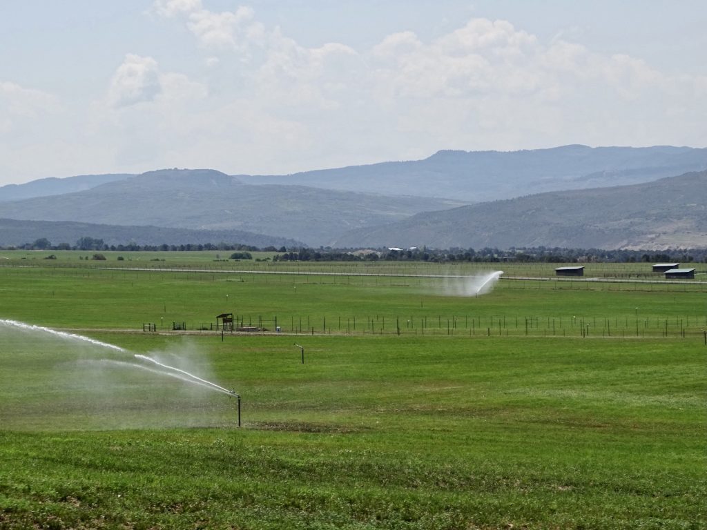
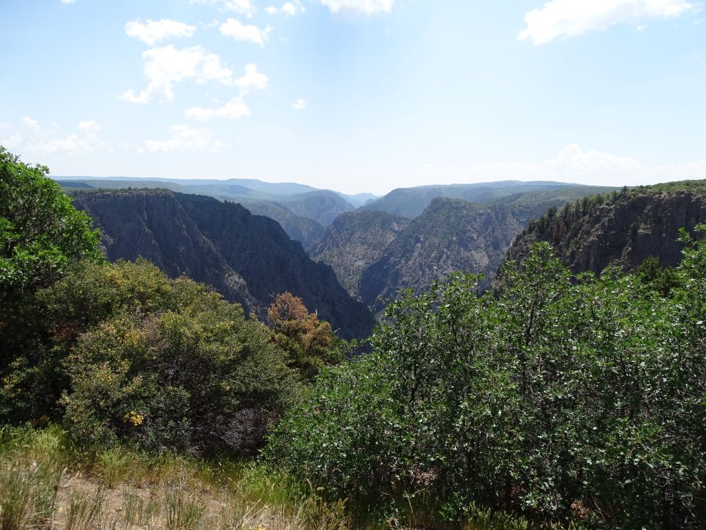
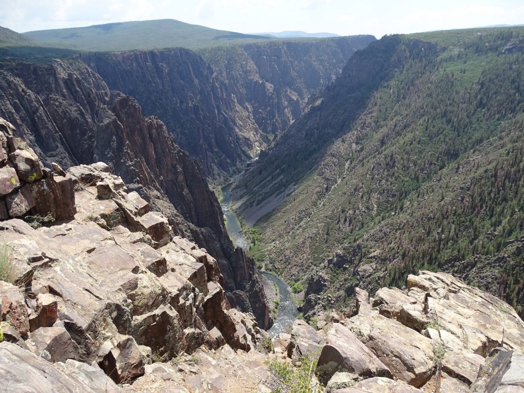
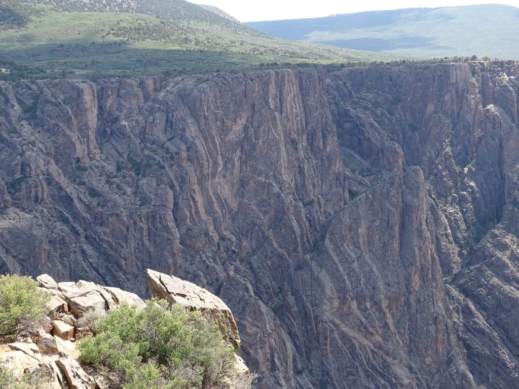
After lunch, we went off course a little bit on US-50 east to CO-347 north. Along the way we saw huge fields being watered, but couldn’t figure out what they were. It just looked like regular grass, but wasn’t quite smooth enough to be sod. Whatever it is, if they are pumping that much water, it must be important. We also passed through areas of open range cows before arriving at the entrance gate to Black Canyon of the Gunnison National Park. We dropped Petunia in the campground parking area, then headed out on the ~12-mile round trip drive. This place is GORGEOUS! Although there are many colors, the walls do look dark in places. At its narrowest point, the gorge is 40′ wide; the widest is 1,100′ wide. The Gunnison River flows 2,200′ below, and is a favorite with kayakers. Aside from the drive with beautiful overlooks, there are hours worth of hiking trails.

Why? 
Black Canyon

The Gunnison River 
Look at that Rock

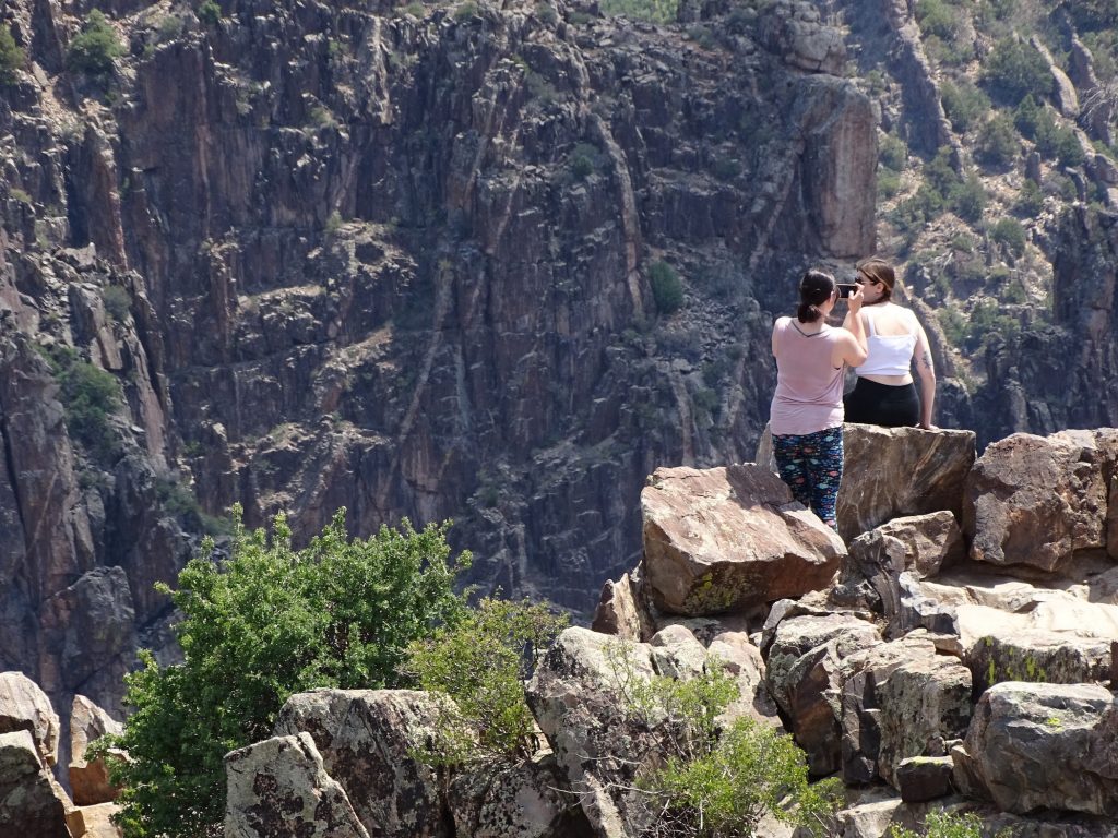
Ever Wonder How People Accidentally Fall into the Canyon?
The Woman in White is Standing on the Outside of the Rock Barrier.
There is a Man Who Has Climbed Down So Far That You Can’t See Him.
All to Get Pictures With the Canyon Behind Them. Just STUPID!!
After we got all hooked back up, we retraced our steps to Montrose, then headed north on US-50. It didn’t take long to end up in high desert again. On the south side of Grand Junction, we took CO-141 up to I-70, then went east for a couple of exits and ended up at James M. Robb Colorado River State Park – Island Acres.

On the Way Back to Montrose 

Beautiful Colors 
Wow!

No Grass to Mow
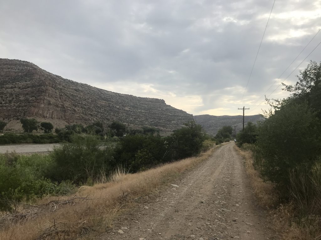
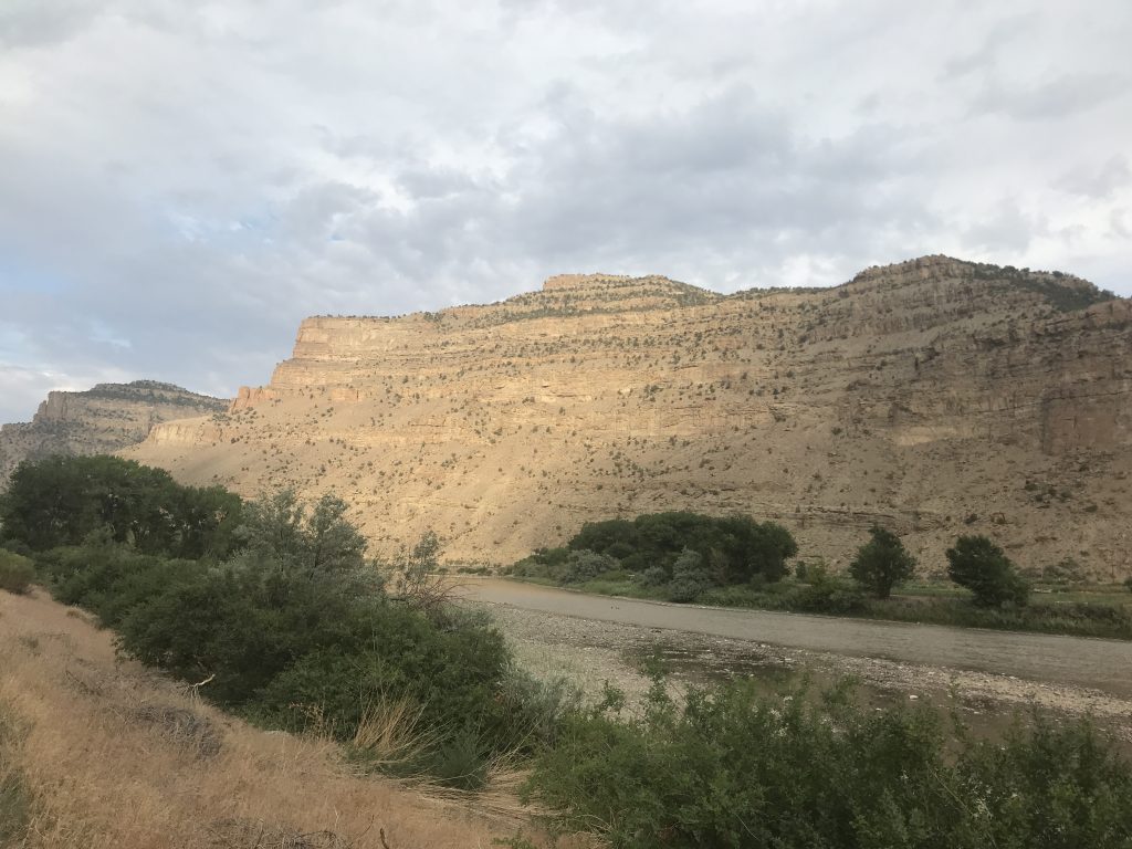
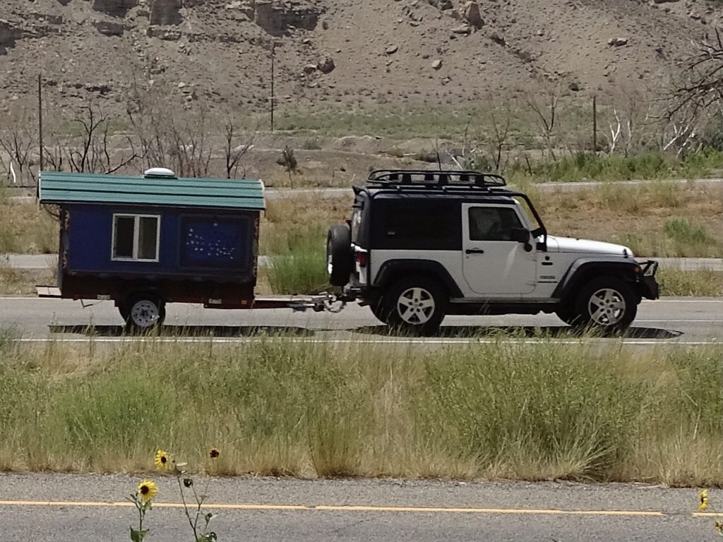
Despite the high afternoon temps when we arrived, on Friday we awoke to a cool breezy morning and were able to sit outside and enjoy it. Later we took a walk around the park, then headed into town to run some errands. We stopped for lunch at…seriously…one of the best Chinese restaurants I’ve ever enjoyed, Chin Chin Chinese Restaurant. The lunch specials were $8.95, and included the main entree (Kung Pao Shrimp for me and Shanghai Pork for MW), white or fried rice, egg roll, and soup (most flavorful Wonton ever!) or salad. The portions gave us both plenty for another meal, so that was a deal. One of our chores was to stop in a Verizon and check out a 5G phone. We were greeted at the door by the manager, and there was one other employee in the store helping a couple. He was very nice, but told us that, due to staffing issues, they were only able to help with problems, not sales. WHAT??!! He said he just can’t get people to work. Sound familiar??!! He gave me the sales number and said I can order and pick up in any store. He did show me my options, though. After finishing our other chores, we headed back to the park. On the way, we saw one of the coolest travel trailers ever. It reminded me of a gypsy wagon.

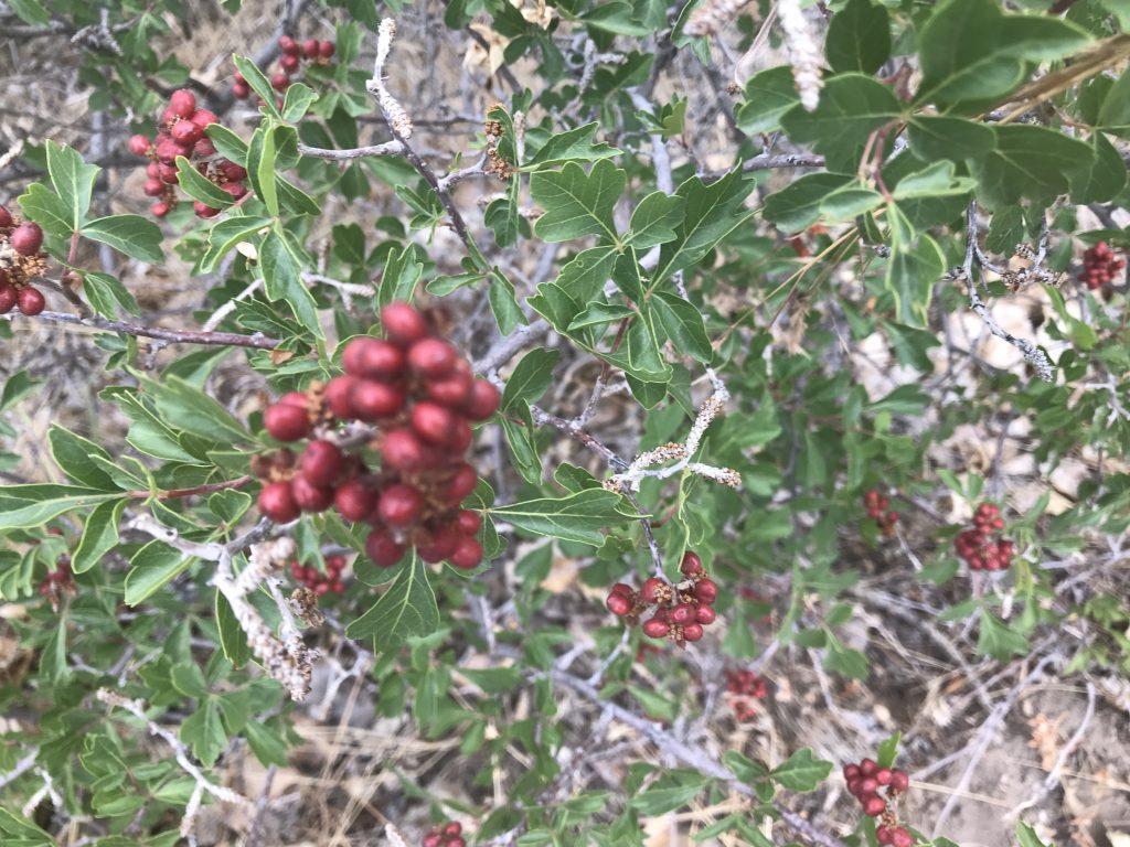
Lots of Wild Hawthorn Along the River 
Berm Path

Colorado River 
Cliffs on the Other Side

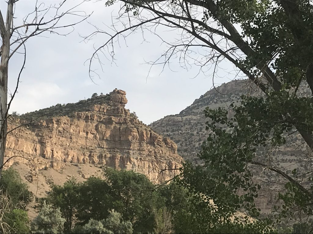
Beautiful Cliffs 
That Thing is Gonna Go Soon!

I Can’t Decide If It is Hard Packed or Soft 
Love It!
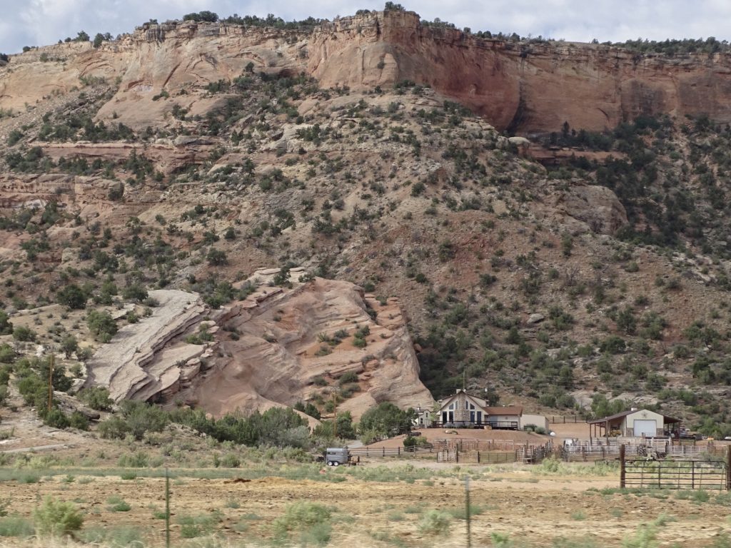
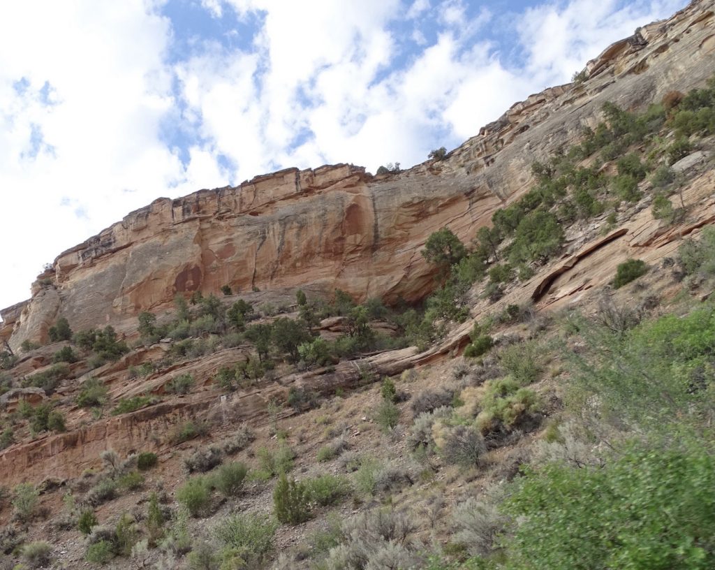
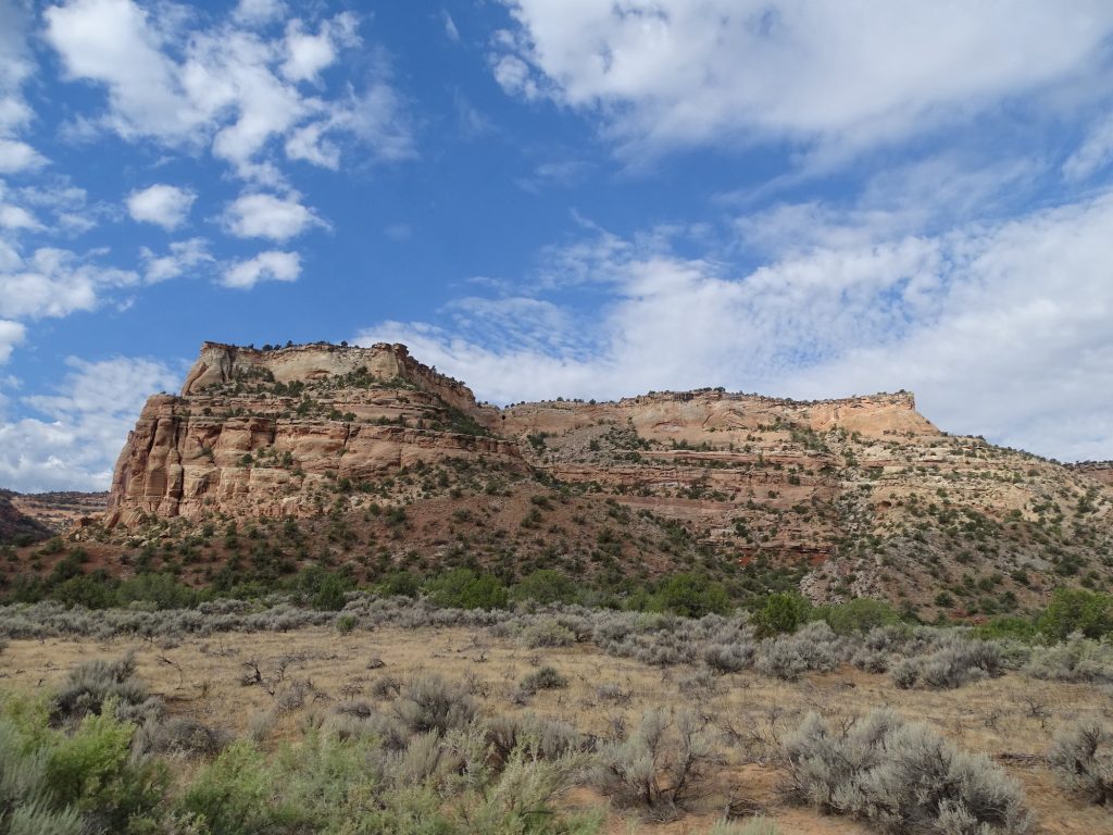
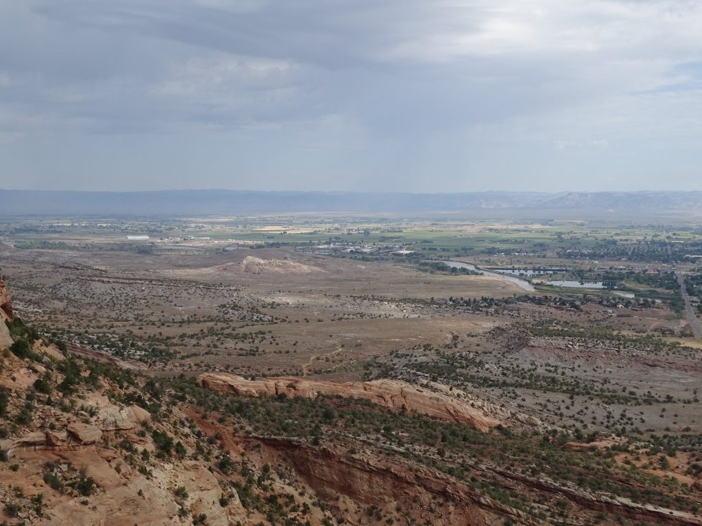
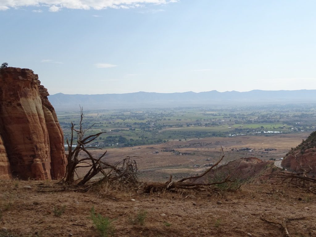
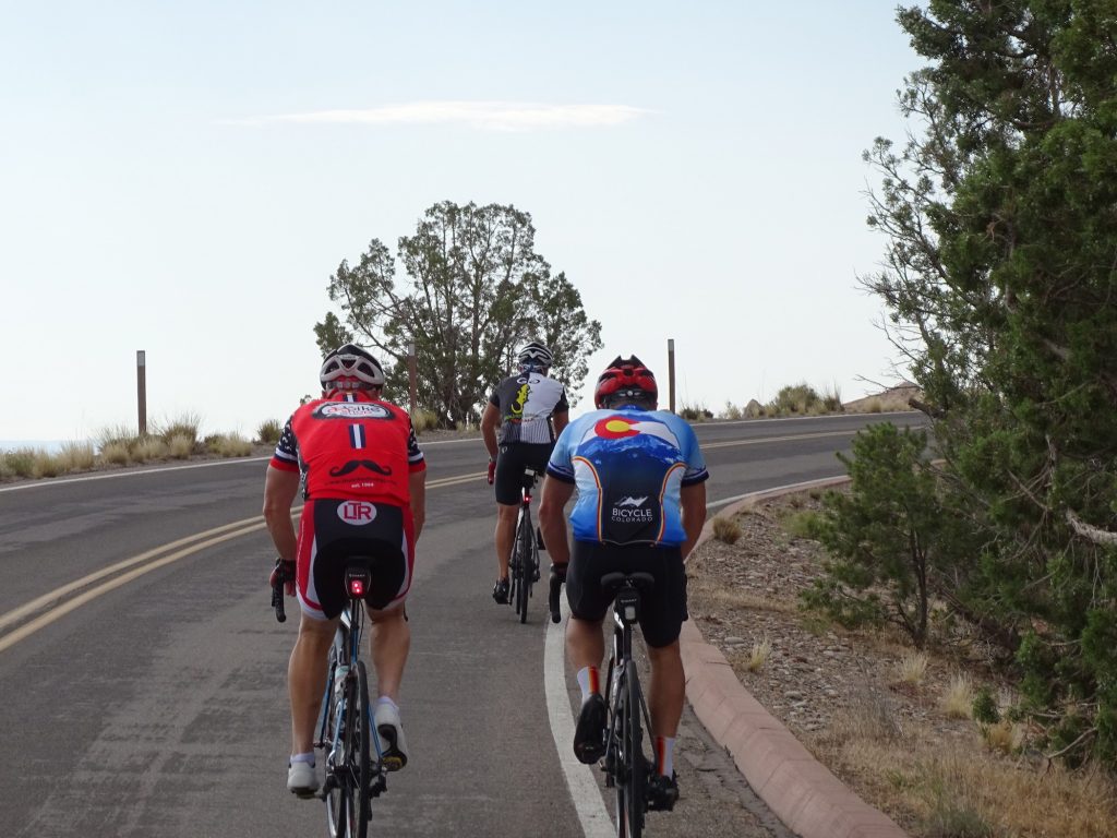
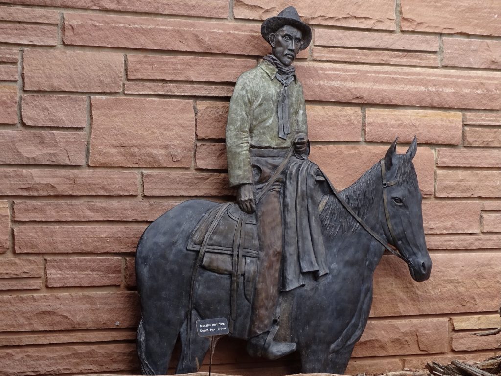
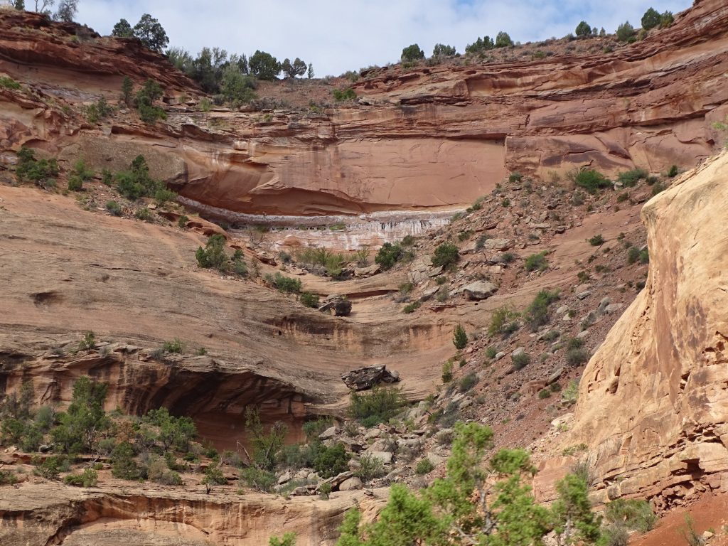
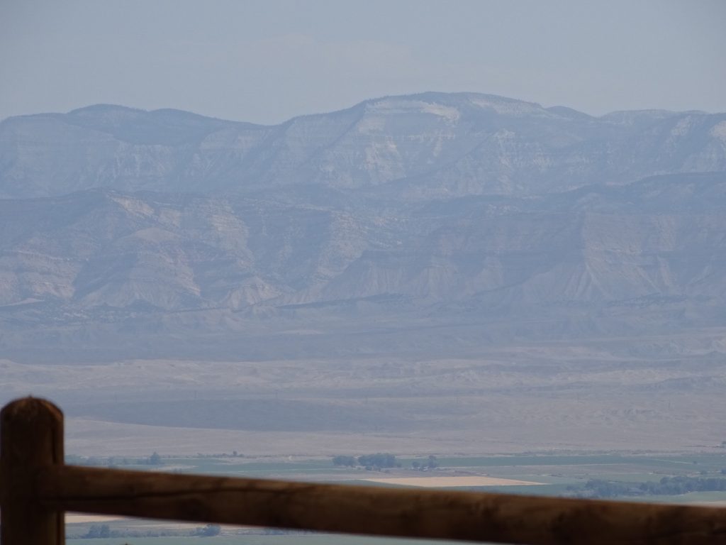
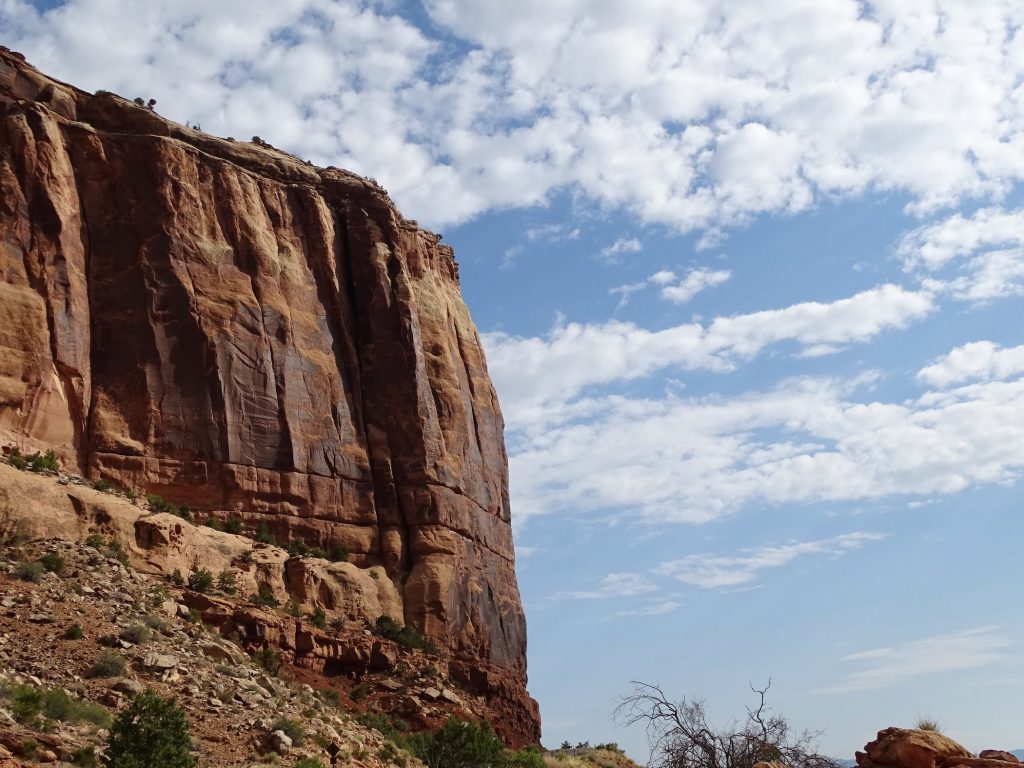
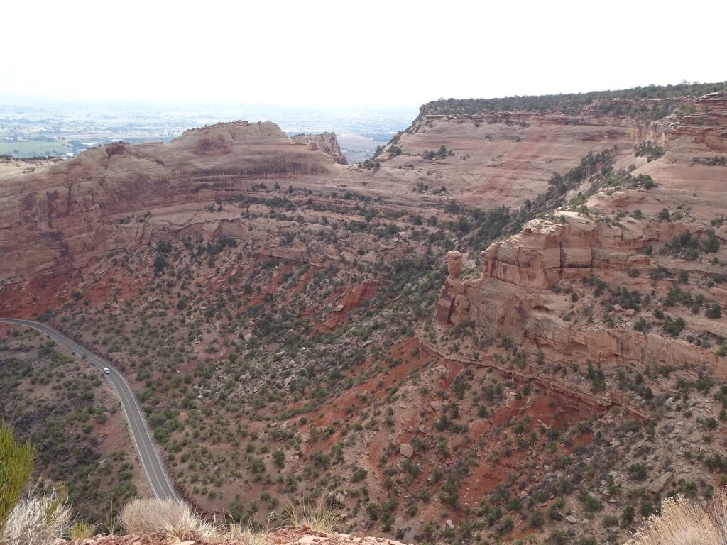
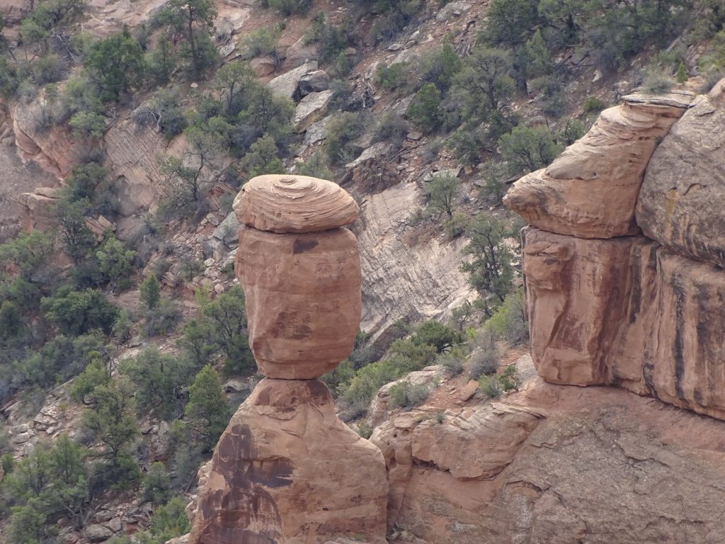
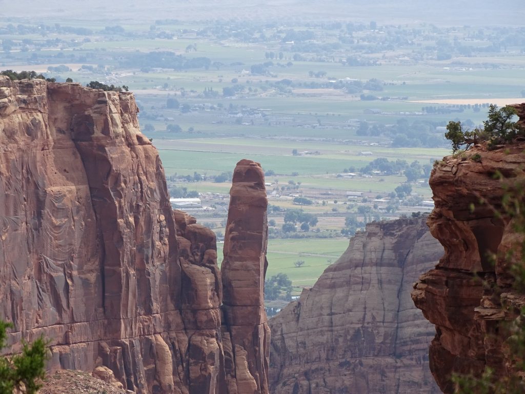
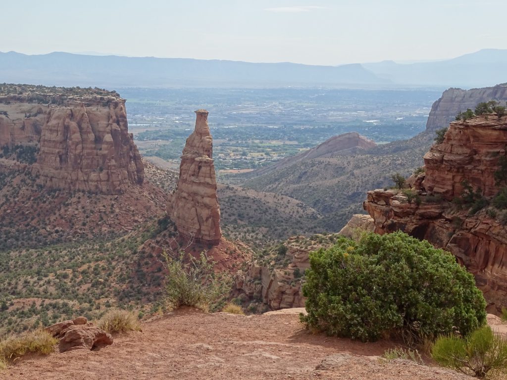
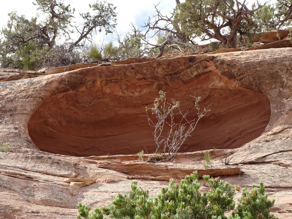
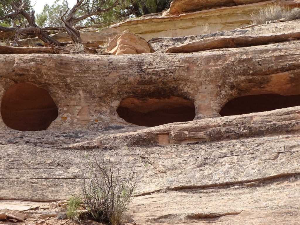
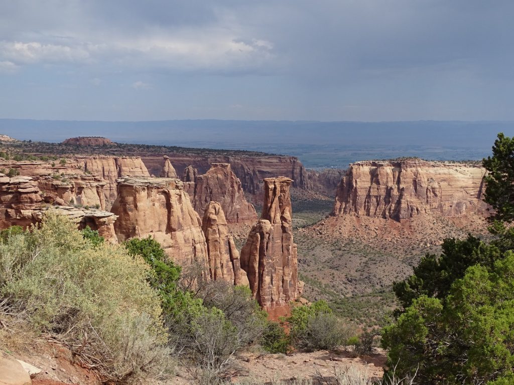
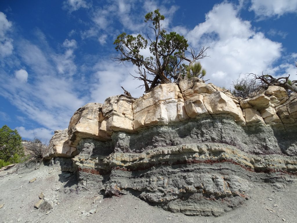
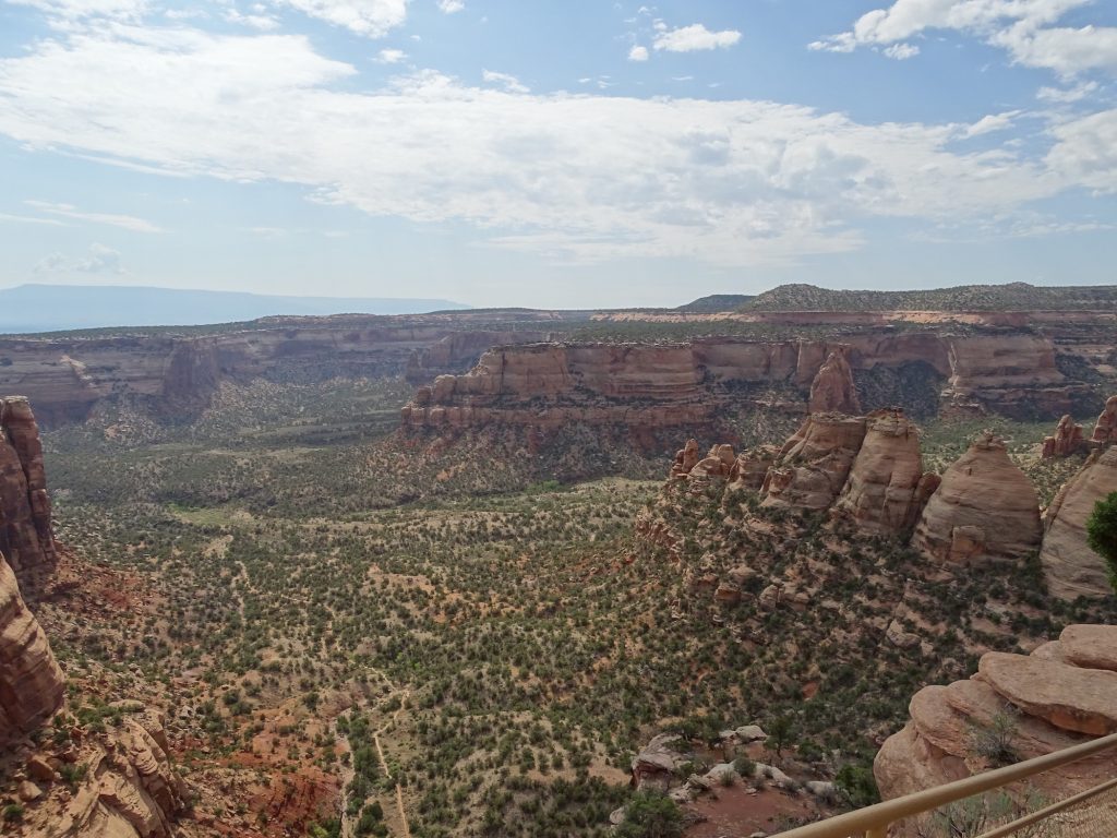
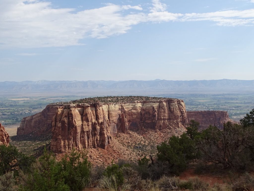
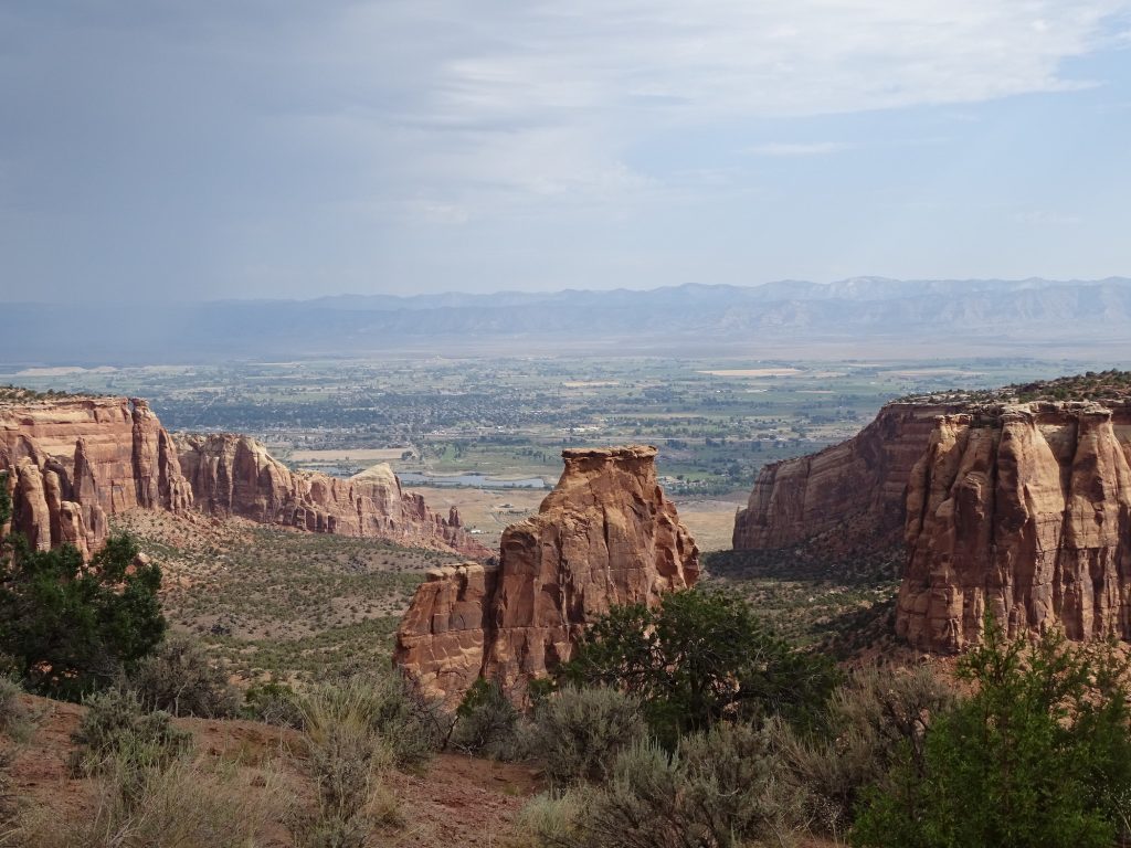
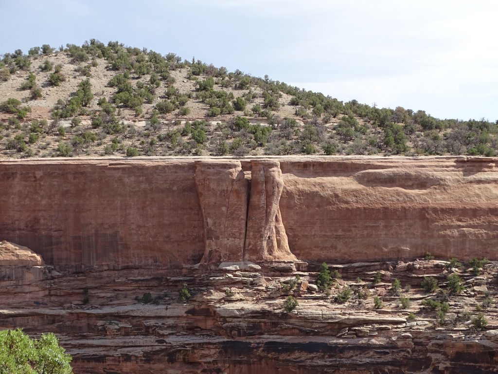
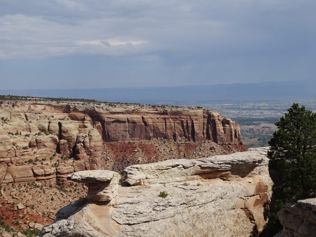
Saturday started with more relaxing in the cool breeze. A little later we headed west to Fruita to check out the Colorado National Monument. This has to be on any list of most beautiful drives in the country. The climb out of the valley starts before you get into the park. Once inside, the road snakes around the edges of the cliffs giving you absolutely gorgeous views of the valley and the ridges. The founding of this site has an interesting story. A man named John Otto found the canyons in 1906 and later wrote that “they felt like the heart of the world to me.” He lived alone in the desolate region, and loved it so much that he began a long campaign to have it made into a national park. He also built miles of trails throughout the area to give people access. In 1911, the government made it into a national monument, fulfilling his dream. He was made the first caretaker, a job that he held until 1927. His pay…$1 per month. Newspapers dubbed him “the Hermit of Monument Park”, but Otto was married in 1911. However, his bride, Beatrice Farnham, left a year later saying that she couldn’t live with a man who felt a simple cabin was an encumbrance. LOL…I see her point. After leaving the park, John spent his last 20 years mining a claim in California. The park covers 32 square miles and rises 2,000′ above the valley floor. There are 45 miles of hiking trails, some quite long and arduous. The crazy among you can also bike the 23-mile Rim Rock Drive, which is what we drove. There is a campground limited to 40′ max and picnic areas. We passed gates that close off part of the road in winter weather, and rightly so. This place is definitely worth a visit. NOTE: I take hundreds of pics when we go to these places, and it’s really hard to narrow down what to share with you. Sorry if it is too much. I’m very thankful, though, that we’ve reached the digital age. The first time I went to Yellowstone when I was 20ish, I think I took somewhere around 40 rolls of 35mm pics. It took me a couple of years to pay to develop them all, and you know half were garbage. Some change is good!

This Cool Contraption Showed Up Last Night 
Colorful Hills in Fruita

Nice Spot! 
Way Up There

Starting the Climb 
Storm Over the Valley

Crazy People 
John Otto

Beautiful Colors 
The Other Side of the Valley

What a Beautiful Day! 
Where We Came From

Little Neck for a Lot of Weight 
Seems About to Go, Too!

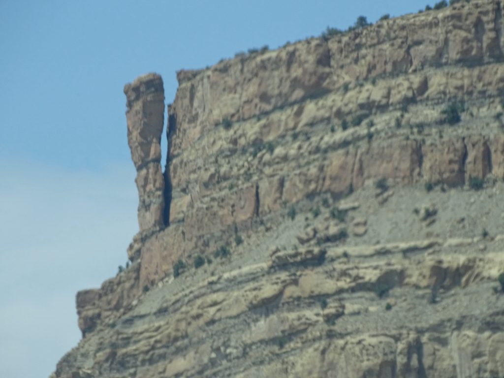
One Section of Harder Rock Resisted Erosion 
Giant Hole

Larger Than They Seem 
Looks Like Ruins

Not Enhanced…the Sky Was That Blue Looking Straight Up
The Rock Line Above the Rust Layer Looks Mossy Green in Person

Looking Across the Valley
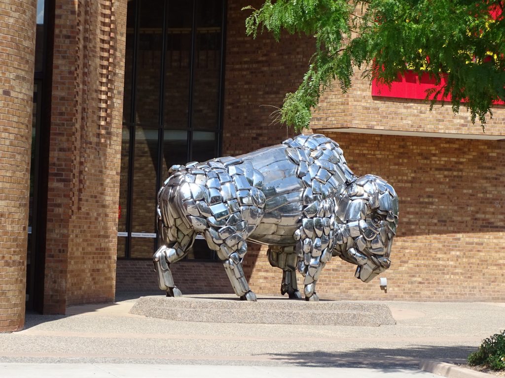
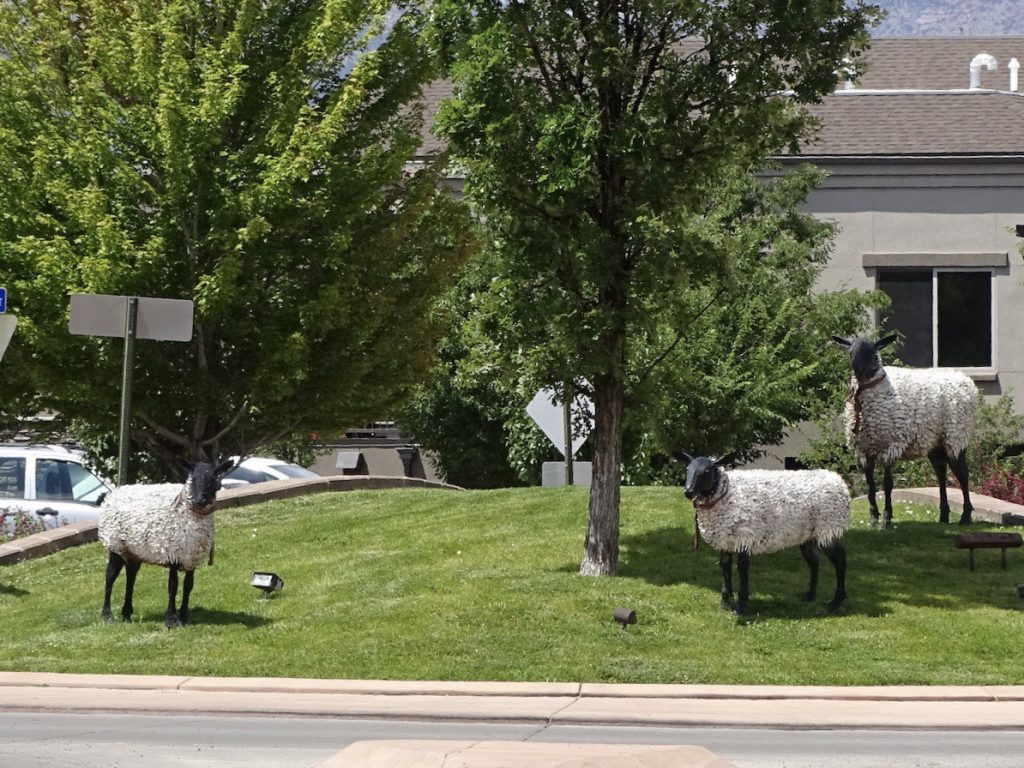
Next we headed back to Grand Junction to grab a bite a the Rockslide Restaurant & Brewery. Our waitress, Tina, was awesome, and on her recommendation, I had The Mojo Chicken Sandwich and MW had the special, Carne Asada Torta. We also sampled the Calamari, which they pair with an Asian chili glaze. Yes, there were leftovers! MW had one of their beers, Rabbit Ears Amber Ale, which was a little too hoppy for him, but I thought it was pretty good. It is located right in the downtown area, and there seemed to be quite a lot to look at if you wanted to take a stroll. After lunch, we ran a few errands, then headed back to Petunia.

Buffalo in Downtown Grand Junction 
Random Sheep Statues
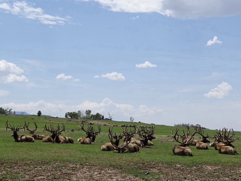
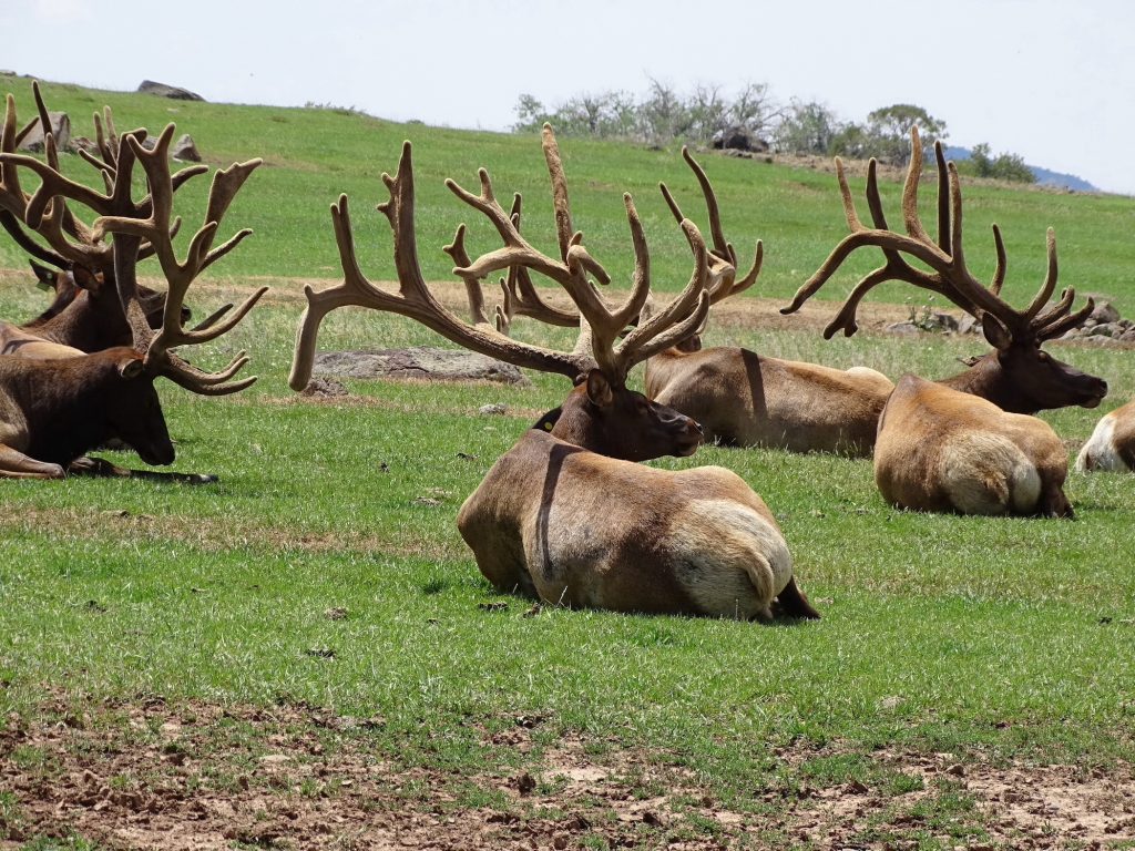
Sunday started with another glorious morning writing outside in the breeze. Later we checked out the Sneedville First Baptist Church service online, then headed out for a drive. We headed east on I-70 to CO-65, the Grand Mesa Scenic Byway, and it truly is gorgeous! It is a steady climb up. We stopped at Powderhorn Ski Resort for lunch, but the restaurant wasn’t open. There were lots of mountain bikers around, though. During the summer they open up for bicyclists who ride the lift to the top and make their way back down via one of several trails. Pretty cool, but it must be crazy fast. We continued the climb up to Grand Mesa, crossing the pass at 10,848′. At the visitor’s center, we stopped to walk around a bit, then continued on the loop back to Collbran. After a few more miles, the road turned to dirt, which MW expected. (It’s a dotted line on the map.) What he didn’t expect was that it was one of the worst, well-traveled dirt roads we’ve ever been on. For the next twelve miles, we were bounced around like dice at a craps table. We were surprised at how many other people were on the drive and how many of them were willing to tow their large travel trailers and fifth wheels on the crazy rough road. I’m talking serious holes and washboarding that required us to drive at about 10-15 mph most of the time. Even with our juiced-up suspension, I don’t think we would drag Petunia up there knowingly. The scenery was still beautiful, though, but I don’t think we would do the dirt portion again. We descended into the valley, and as we approached Collbran, were greeted by large herds of bull elk in a fenced field. Just beautiful! In doing a little research I found out that the symmetry of the antlers for a bull elk is very important. It seems that, for the females, an unbalanced set is a turn off. After stopping for the photo op, we found Mountain High Pie for late lunch/early dinner. A pizza joint, they also had a nice Italian Melt that MW and I both thought was pretty delicious. After that, it was back to Petunia where the outside temperature was a balmy 104 degrees. Ugh!

Powderhorn Slopes

Met This Little Guy at Powderhorn 
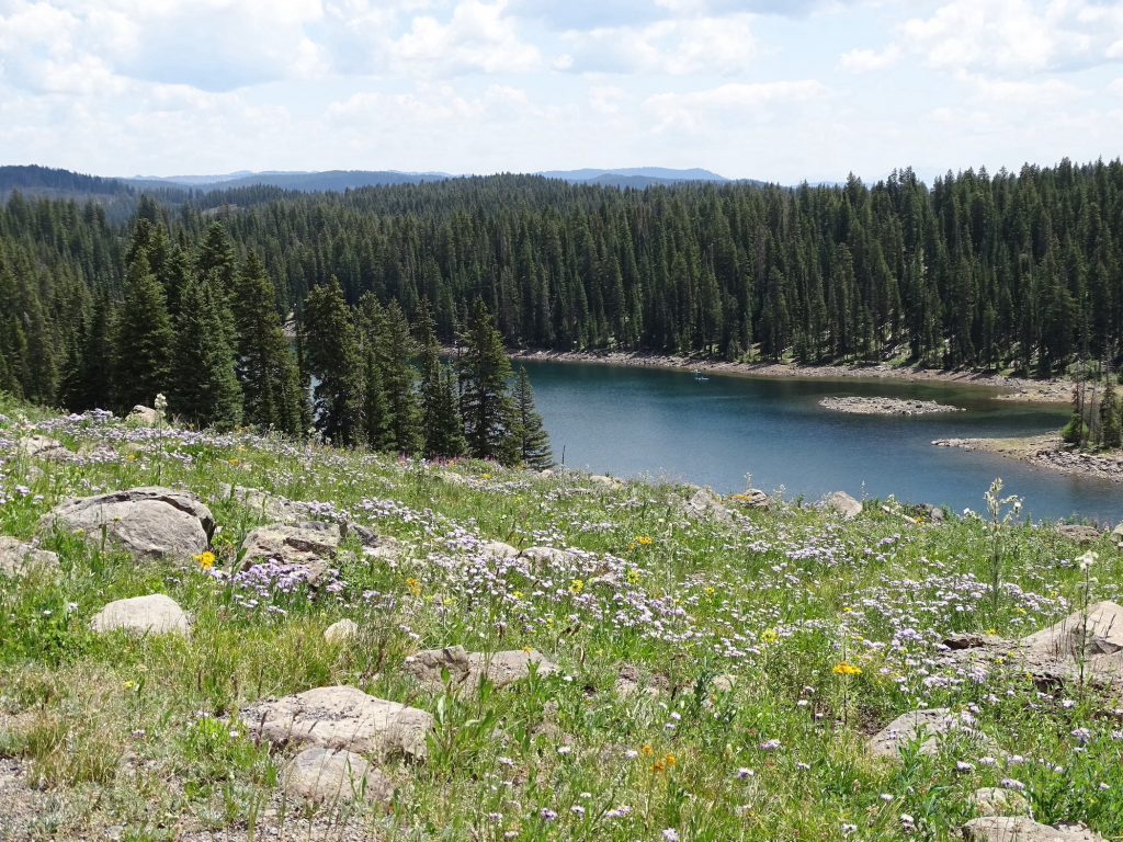
Lots of Wildflowers

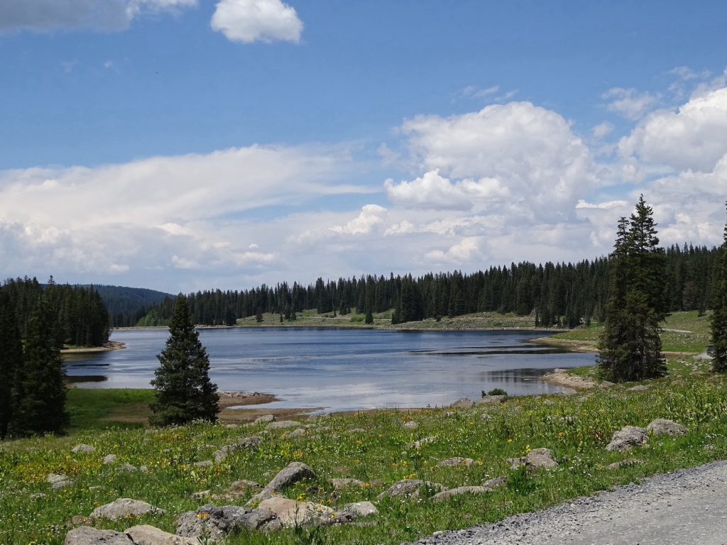
One of Over 300 Lakes 
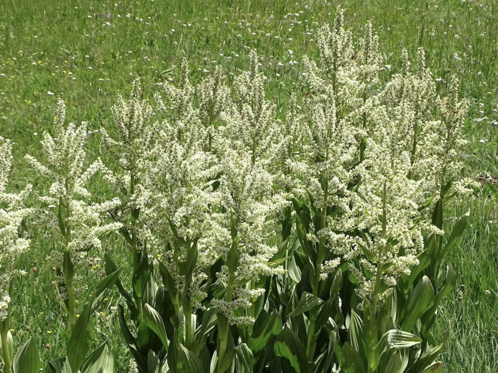
False Hellebore

Just Hanging Out With the Guys 
Look at Those Racks!!
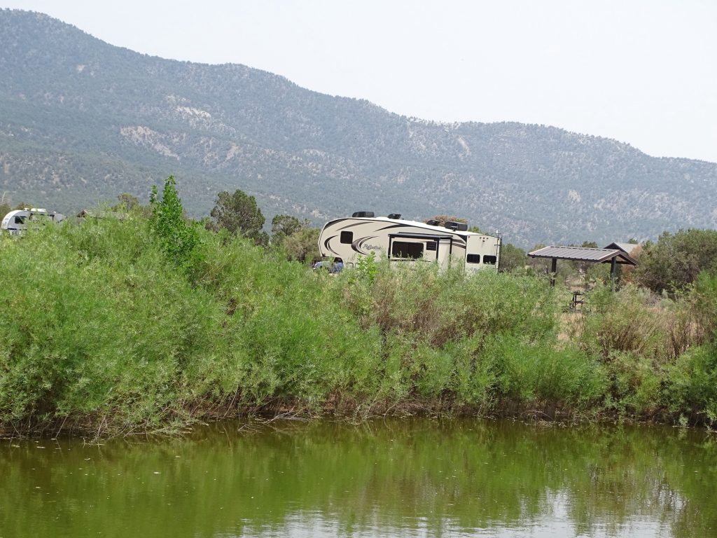
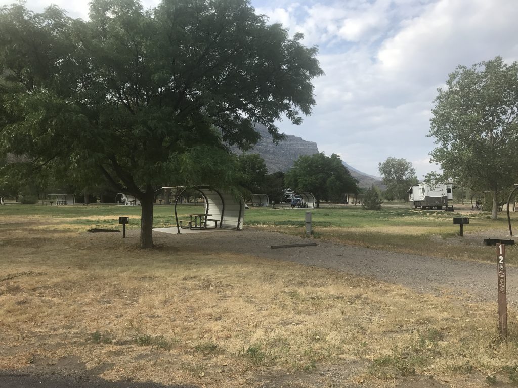
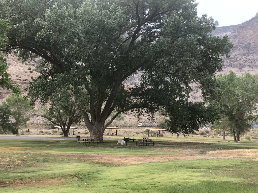
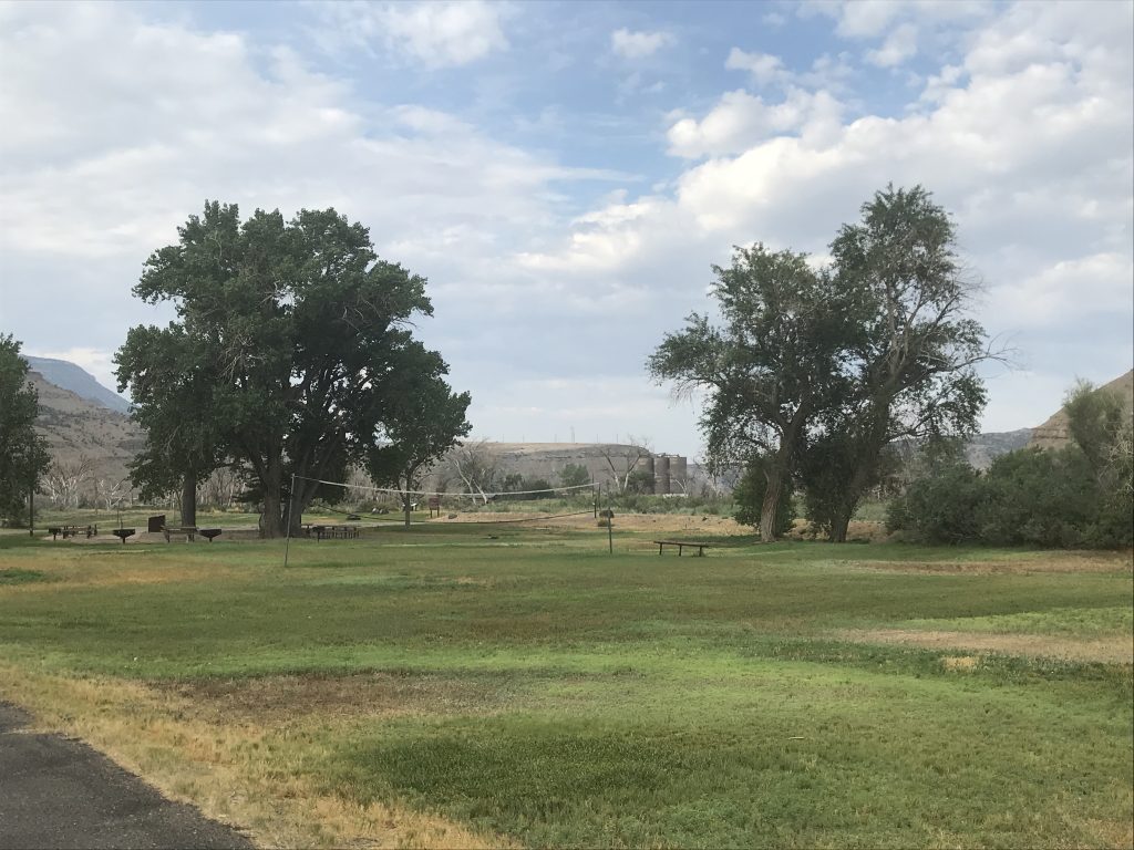
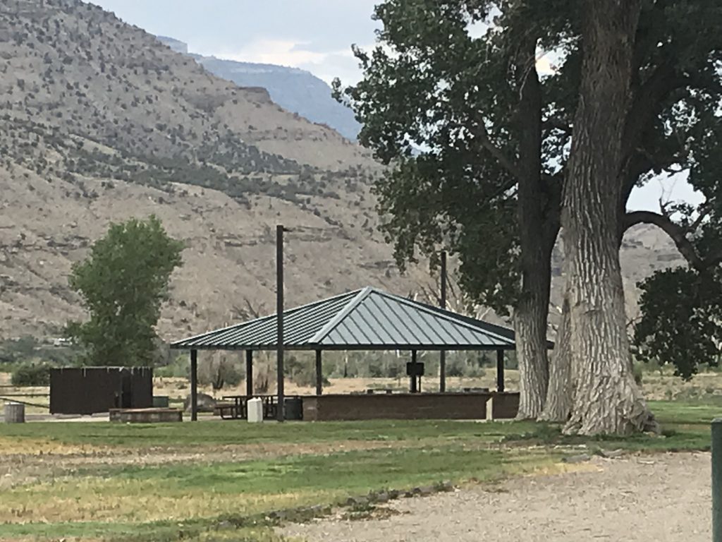
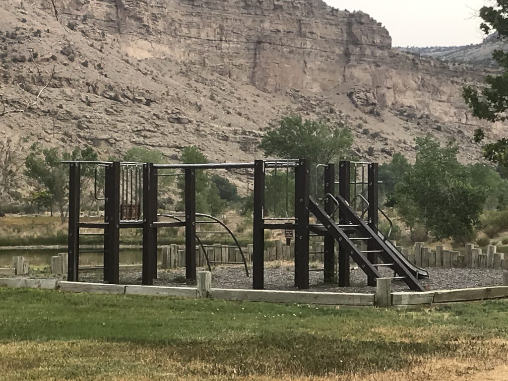
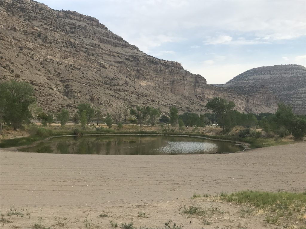
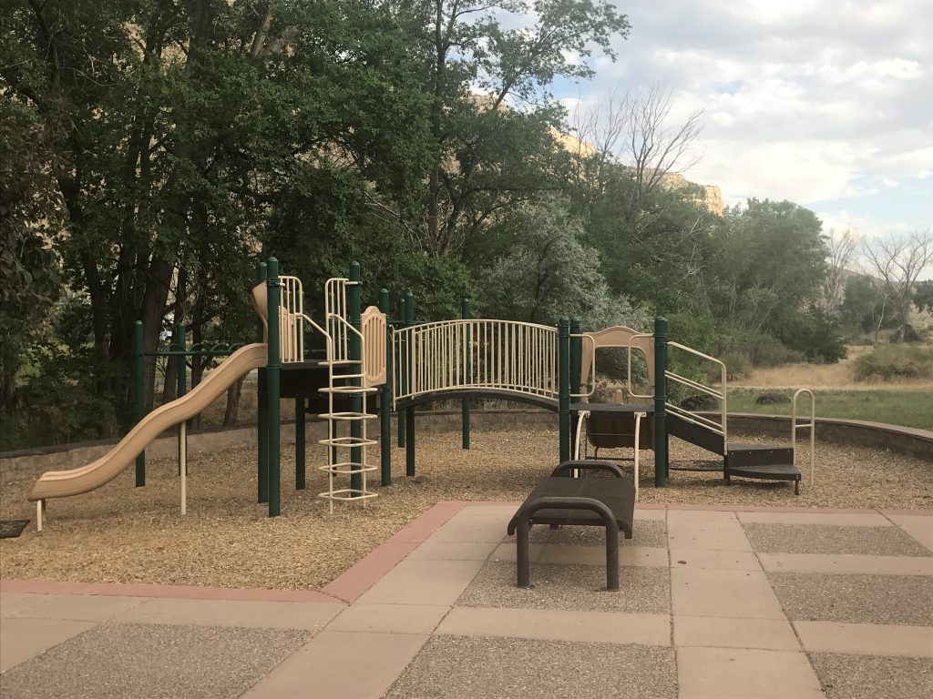
The James M. Robb Colorado River State Park consists of a “string of pearls” or five separate sections along the Colorado River. Campgrounds are at both ends of the string, Island Acres, where we stayed, and Fruita. The latter has opportunities for hiking, biking, fishing, and swimming. There are also picnic pavilions, picnic areas, and two playgrounds. The bathhouse, which MW said was clean, and laundry are open from early spring to fall. There are also vault toilets, but I found them full of flies. You can’t see the river from the campsites because of the berm, although you are right beside it. The campground is just off of the interstate, so there is a lot of road noise, and there is also a railroad track across the river. We had the air running most of the time, so the noise was not an issue. Island Acres has four campground loops, and all sites have fire rings, covered picnic tables, and and grills. There are 39 full-hook-up sites, 34 30-amp electric-only sites, and 6 tent-only sites. For this stay in July 2021, we paid $164.00 for four nights, which included $9 per day in entrance fees.

Campsite 
Picnic Area

Group Picnic Area with Volleyball Net 
Group Pavillion

Playground Near Pond 
Swimming Pond and Beach

Playground at Campground
Next up…Utah and Wyoming. See you on the path!
Talisa
P.S. Hit the follow button below to be notified of new posts and please SHARE, SHARE, SHARE on social media!




Leave a Reply