A LITTLE HA, HA: We all may be suffering from “DEJA MOO” as the election cycle ramps up. That is the feeling you’ve heard this bull before.
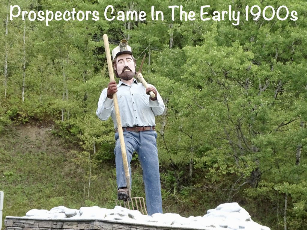
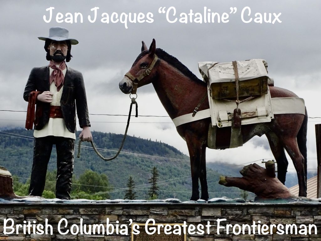
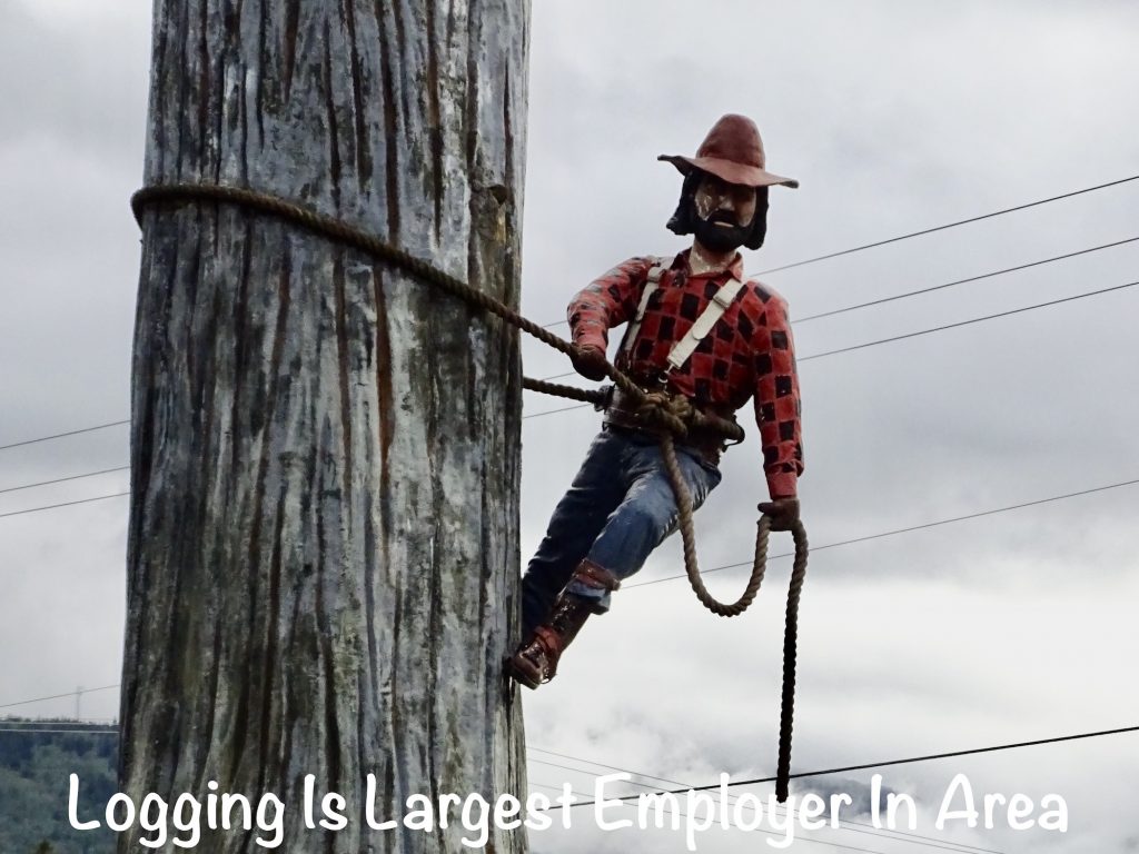
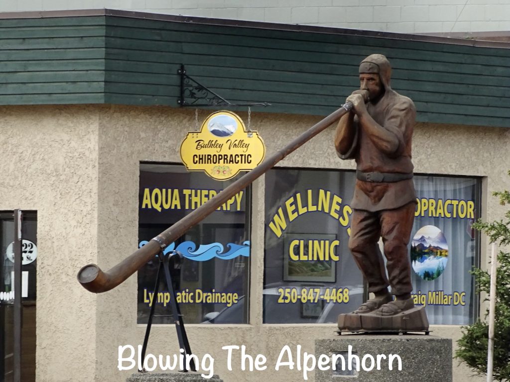
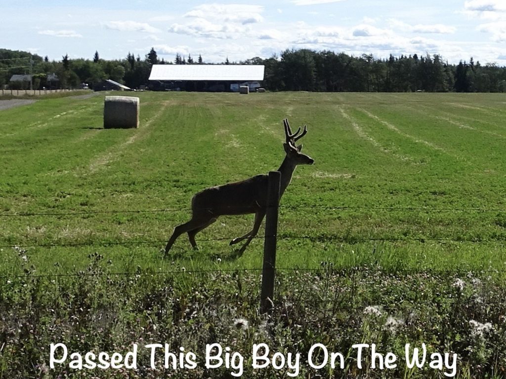
Saturday, August 12, we were on the road before 8 AM heading east. After a quick stint on the Cassiar Highway, we hit the Yellowhead Highway for the rest of the day. Just after starting out, we saw a couple of does with fawns. Not too far down the road we stopped at a rest area at New Hazelton to take a look at the statues representing jobs that settled the area.
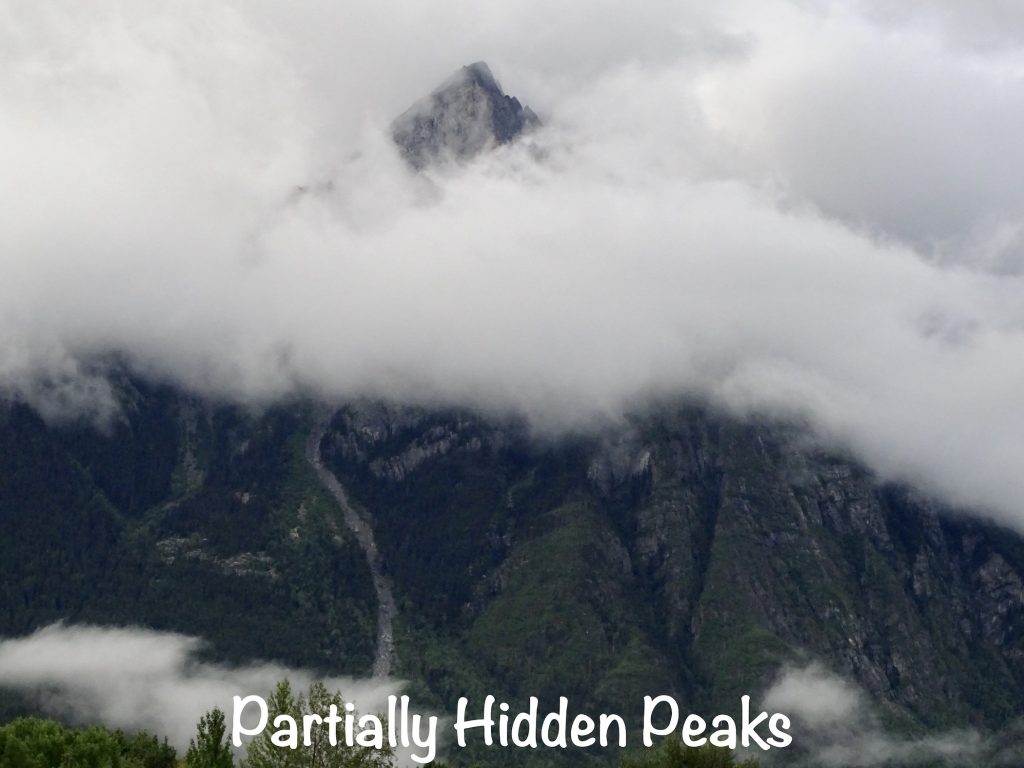
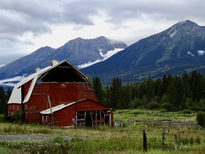
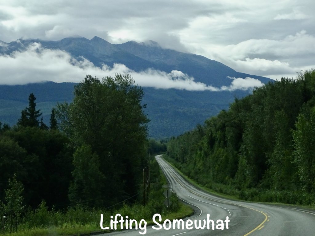
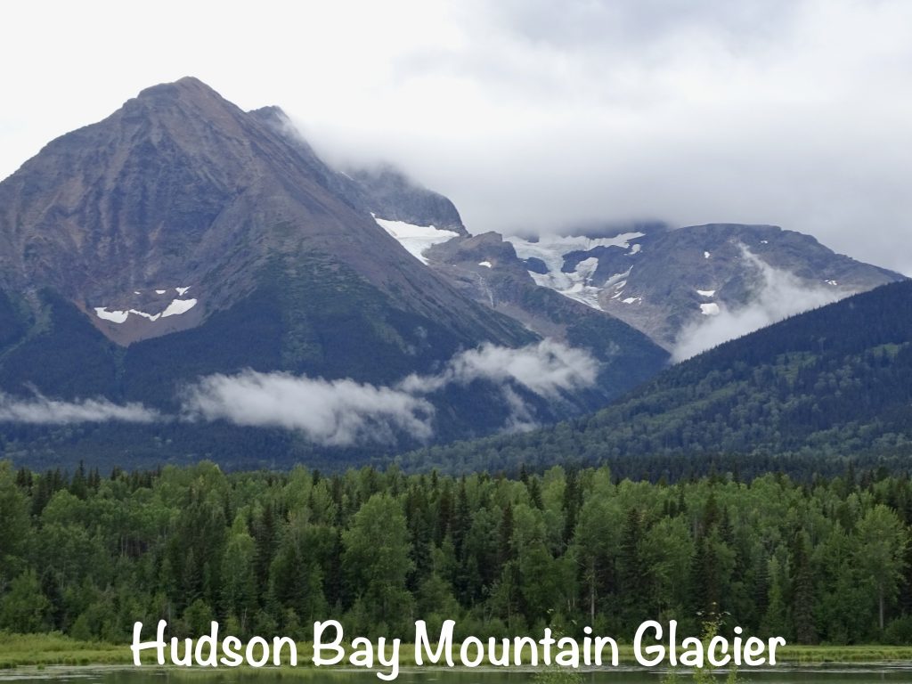
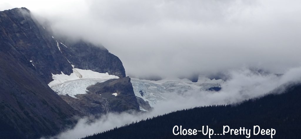
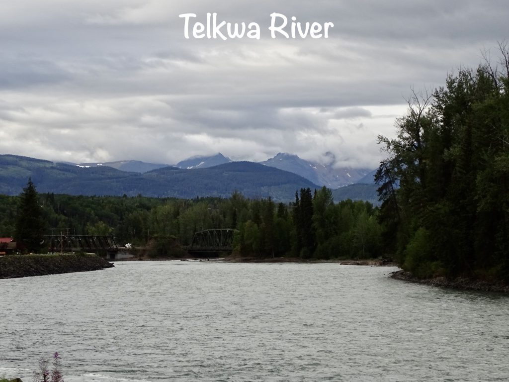
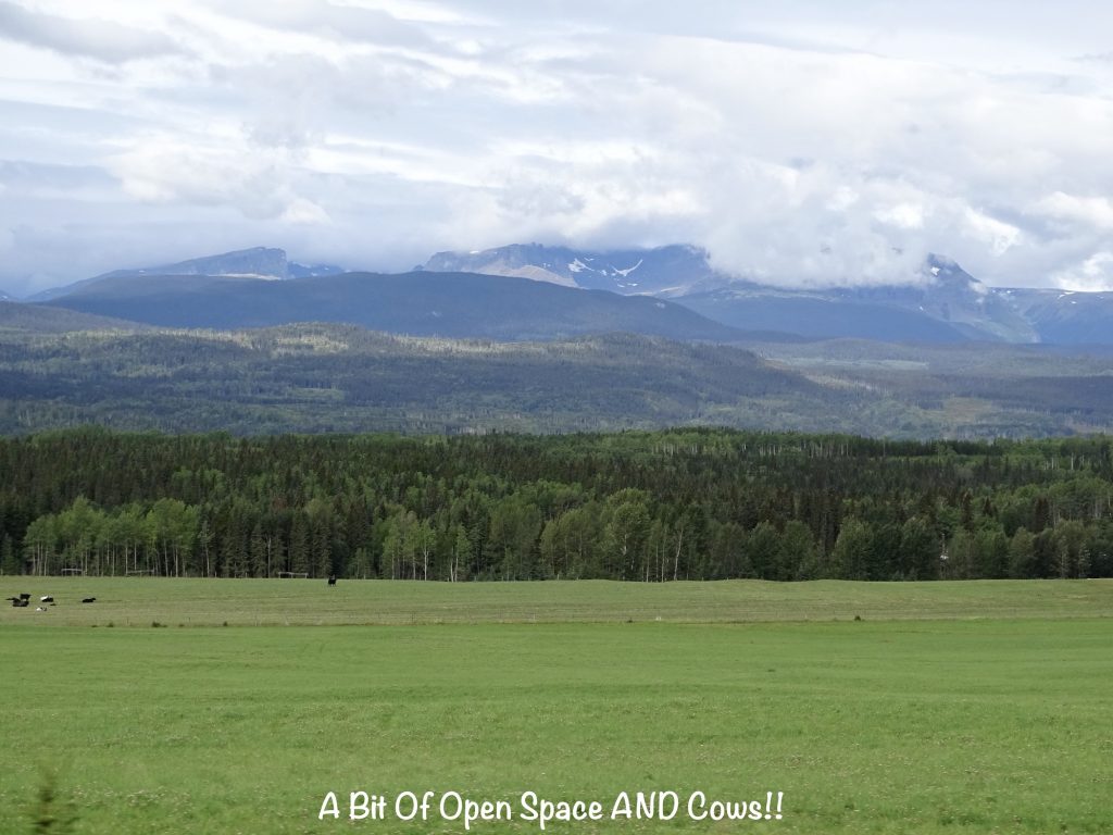
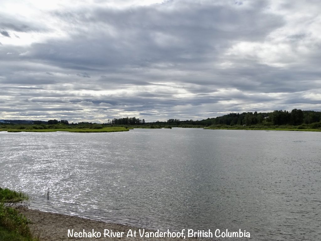
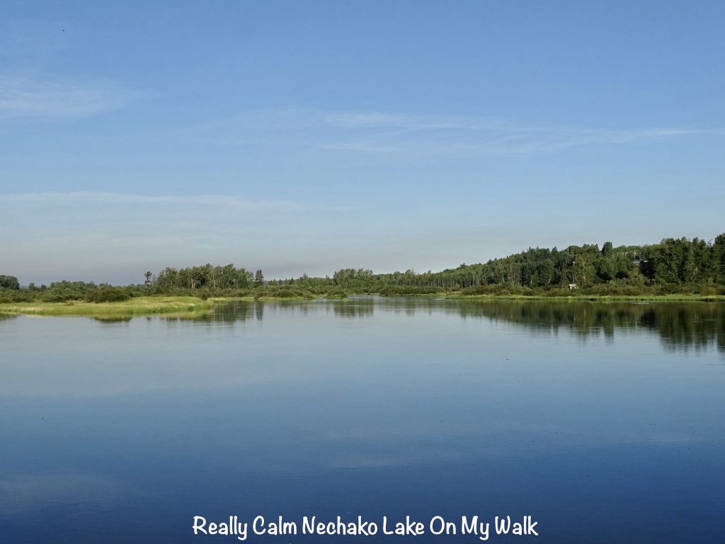
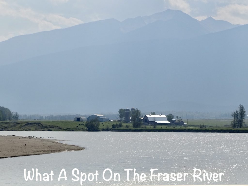
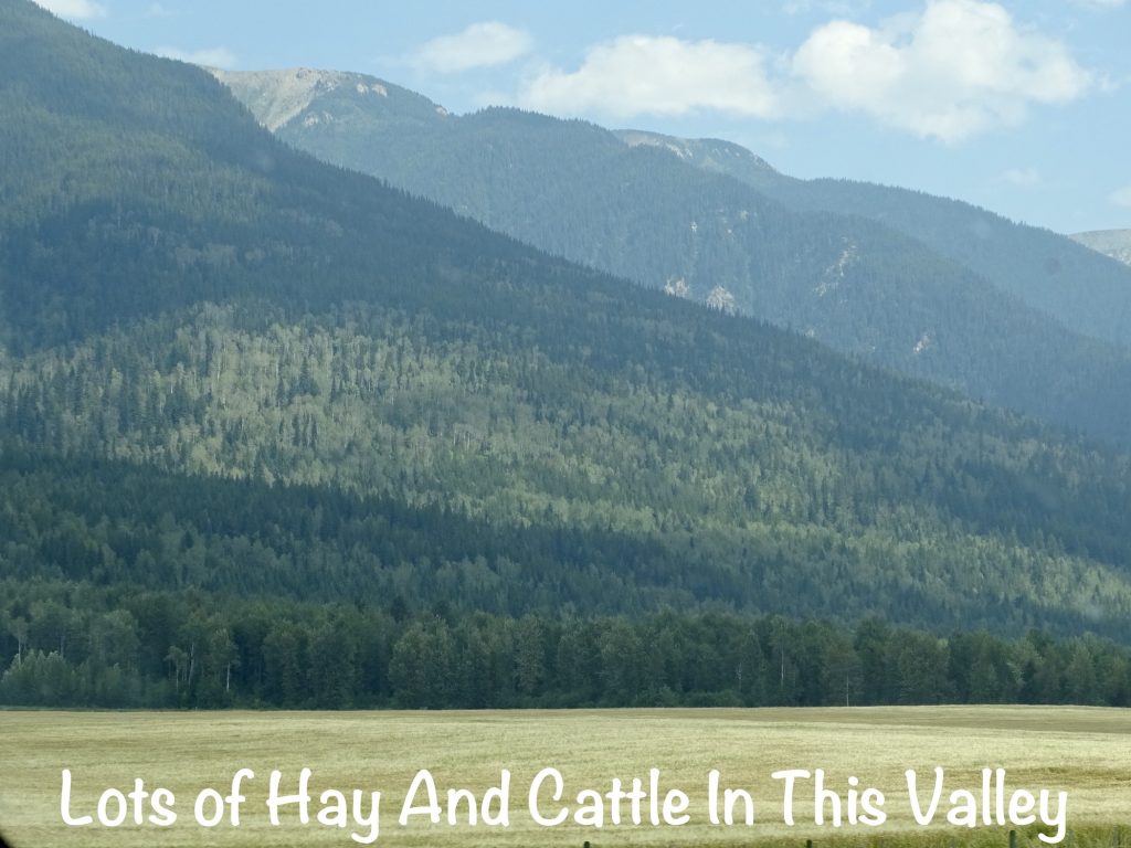
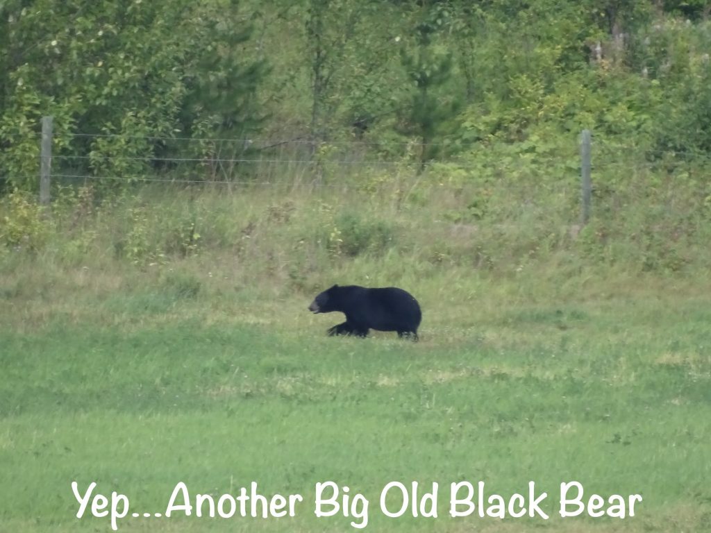
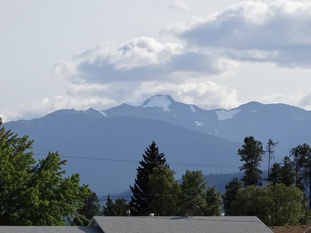
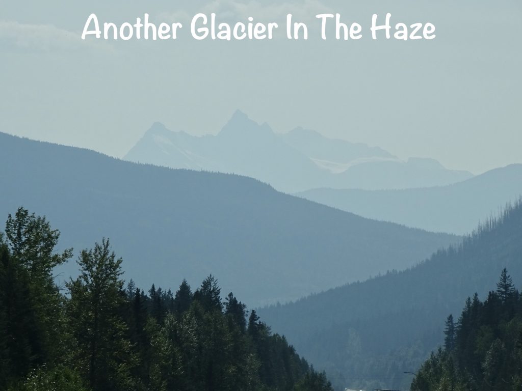
It was a grey day with the mountaintops draped in cottony clouds, so the long-distance views and spectacular mountainscapes were obscured, but there was still plenty of beautiful British Columbia to look at. Like the first part of the Yellowhead to Prince Rupert, the roadway was in good shape. This drive started with glimpses of giant mountains nearby, which slowly became less jagged and tall and finally ended up as lower ridges off in the distance. The land opened up to more farms and ranches, reminding us that we had been missing cows. At one point we both saw something black in a field and wondered what it was. While we were questioning, the head came up out of the grass, and there was no doubt…it was a really big black bear. Near Smithers, we saw something we had not seen before on this trip: In the middle of a field was a golden eagle working on his lunch. That was the largest bird I have ever seen! With a wingspan of up to 7’8″, it tops the bald eagle, although males of that species come close. Unfortunately we weren’t in a place to stop for pics on any of the animals this time. Boo hiss!! The clouds had lifted enough to give us a nice view of the Hudson Bay Mountain Glacier in the same area, so that was a bonus. At Burns Lake, we found Burns Lake Pub ‘N’ Tandori Grill and stopped in for a bit of Indian. The food was excellent…Butter Chicken for me and Lamb Vindaloo for MW. Mine ended up being THREE meals. (Honestly, I could fill up on the naan and not have anything else.) We finally made it to Riverside RV Park in Vanderhoof, British Columbia, by about 3 PM. After setting up, we walked through the park to take a look at the Nechako River.
Sunday I was up early enough to finish my brain puzzles and take a nice walk before heading out. Services at Nechako Community Church began at 9:30 AM with a very good message from the book of Judges by Pastor Ryan van Kuik. He has been called to another church on Vancouver Island, so this place will also enter the search phase soon. I can’t even count how many churches we’ve been to on this trip that have been in the same situation. While you wish the pastor’s well, it is a tough time for the congregations. Ours in Sneedville continues to search, and I pray for our team and future pastor. After the service, they had a coffee gathering. Unlike most churches where Sunday School is before the main service, this one has it after the coffee break. (On this day they didn’t have it scheduled.) They use that time to delve deeper into the passages from the sermon and share thoughts, ideas, and questions. I like that. MW asked a couple of people to recommend a lunch spot in town, and one couple, Earl and Margaret, invited us to join them at the North Country Inn Restaurant. The food was good, and the company, even better. After a good 90 minutes or so, we shared contact information before parting. MW and I ran a few errands before heading back to Petunia. A Sunday afternoon nap was on the menu, too.
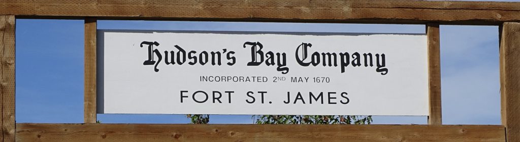
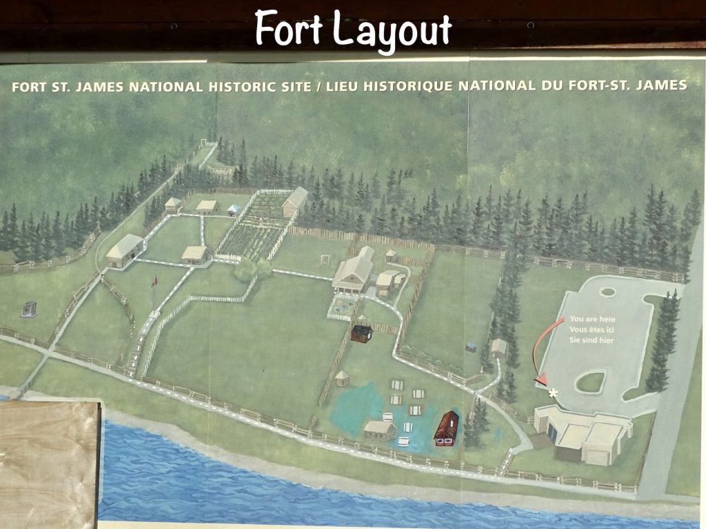
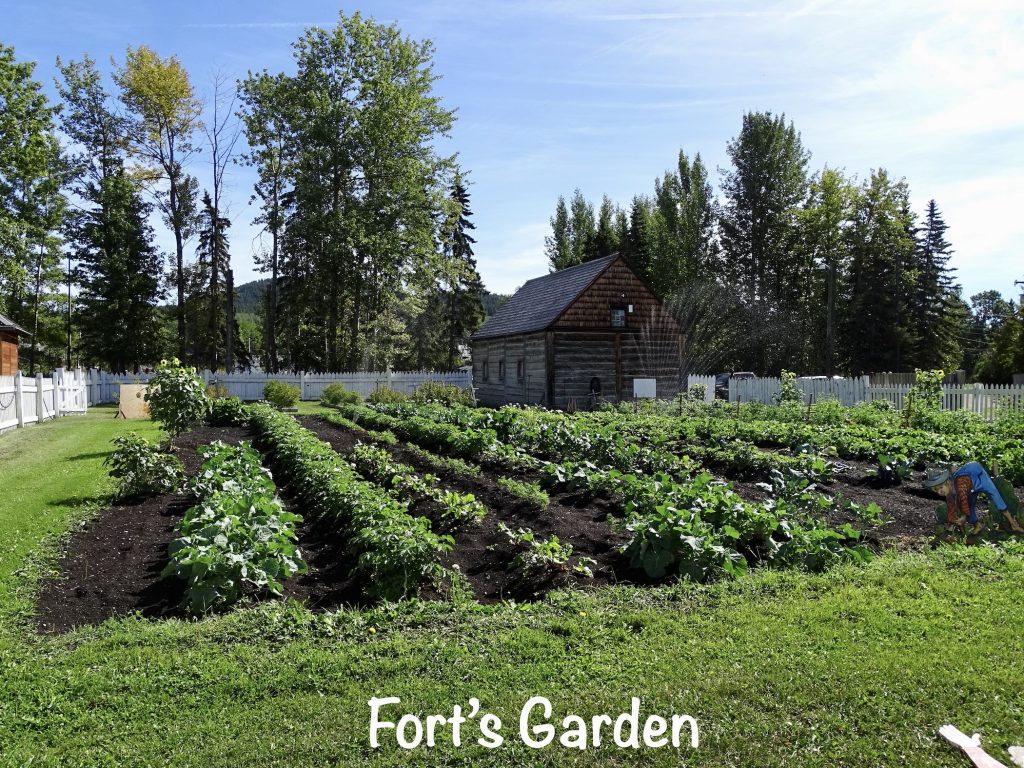
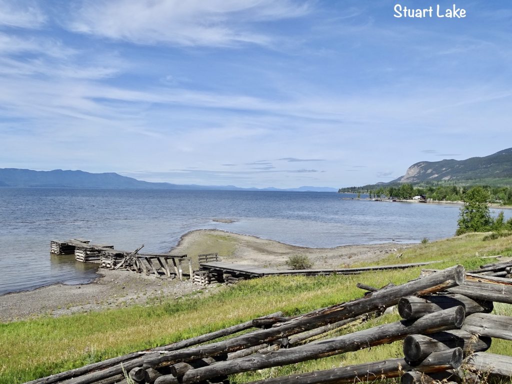
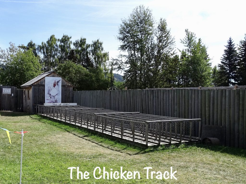
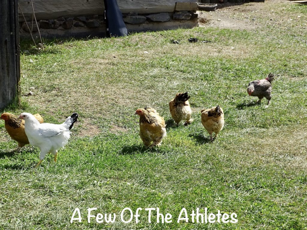
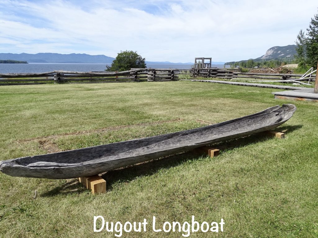
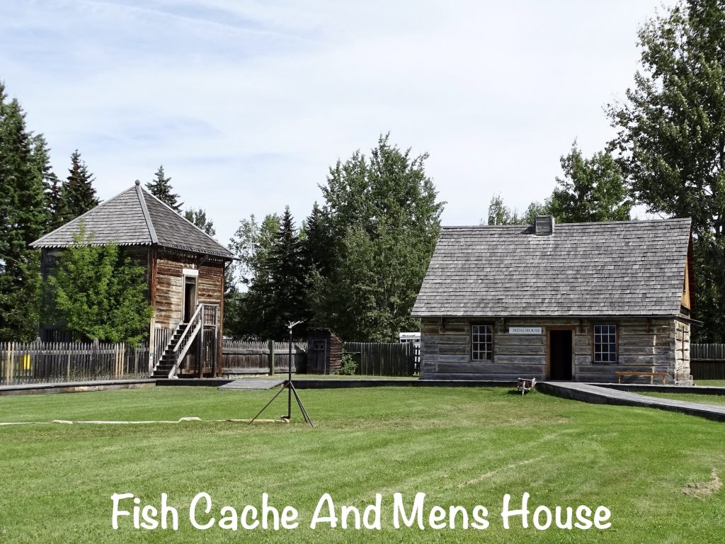
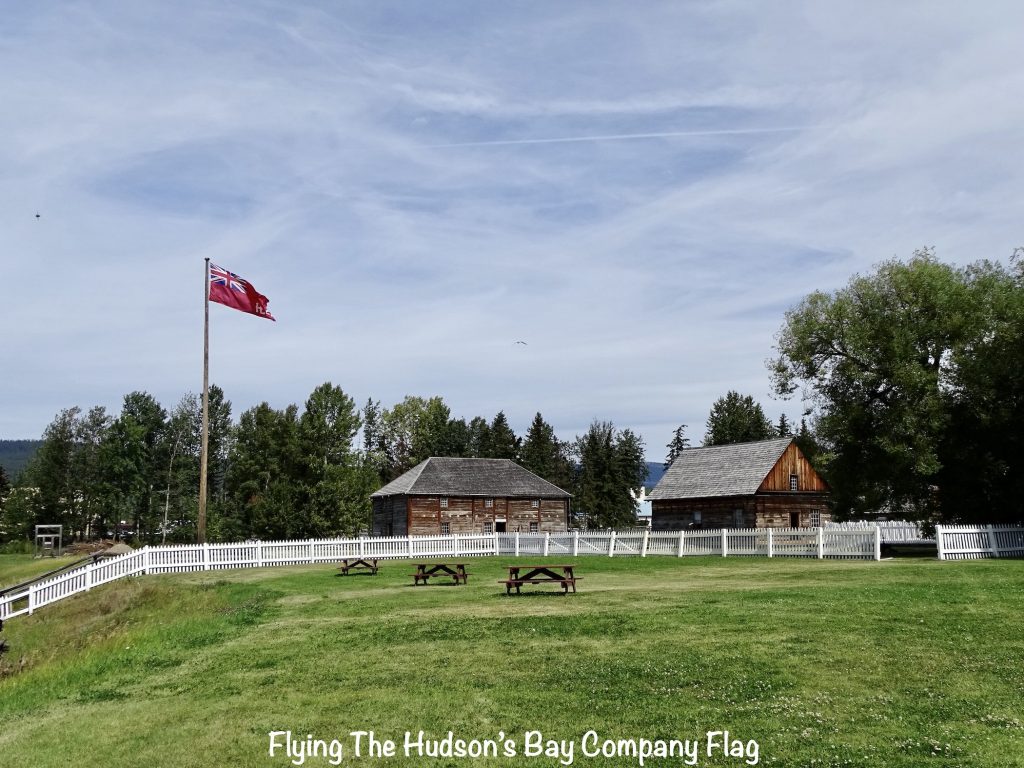
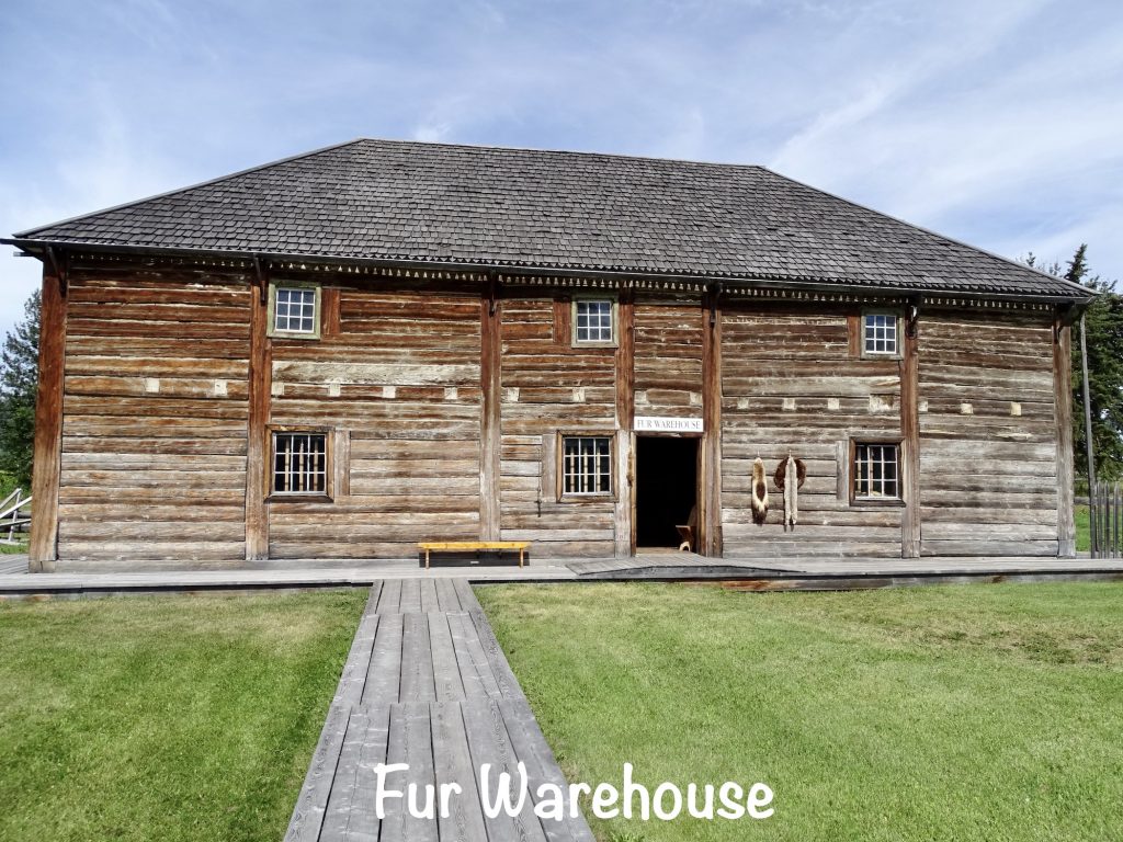
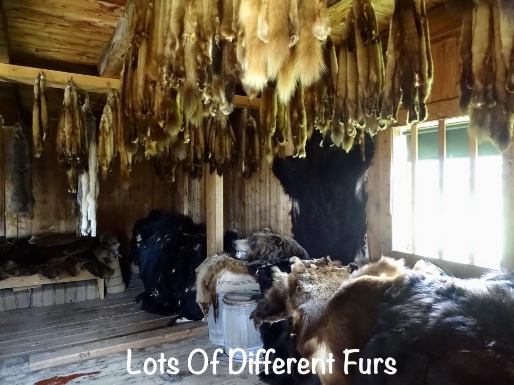
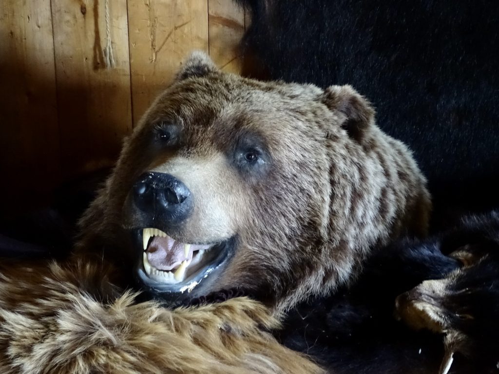
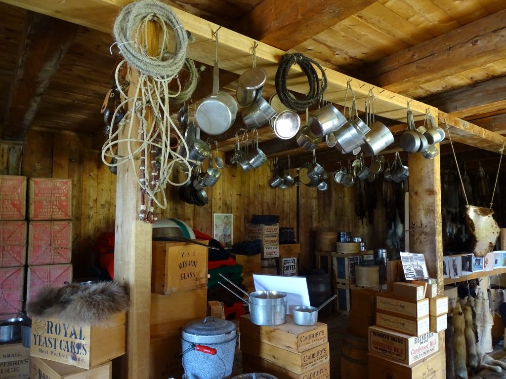
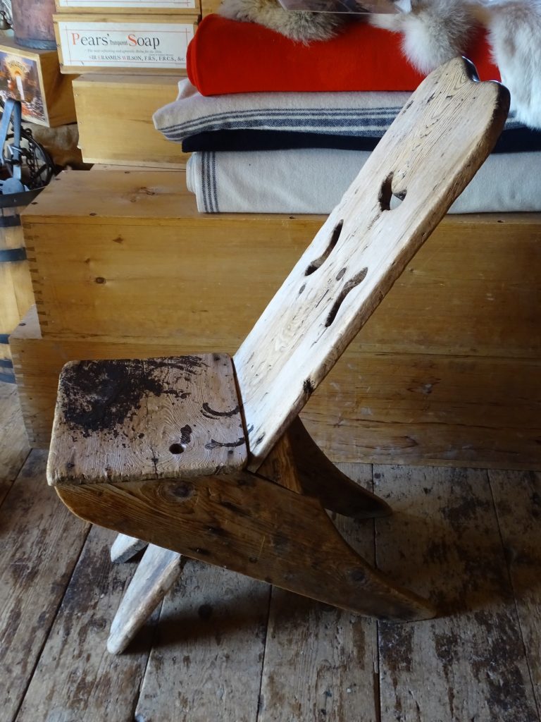
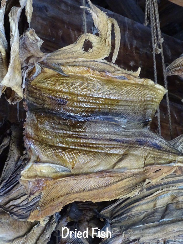
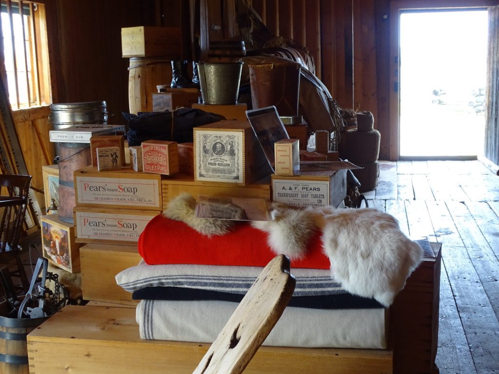
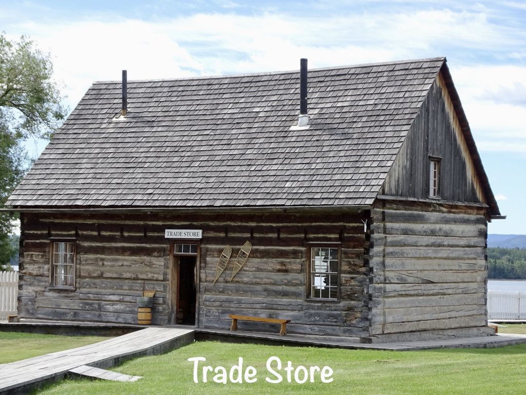
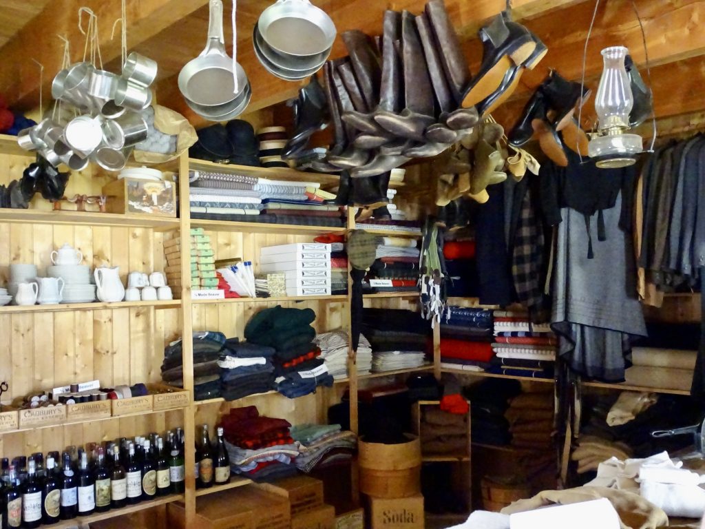
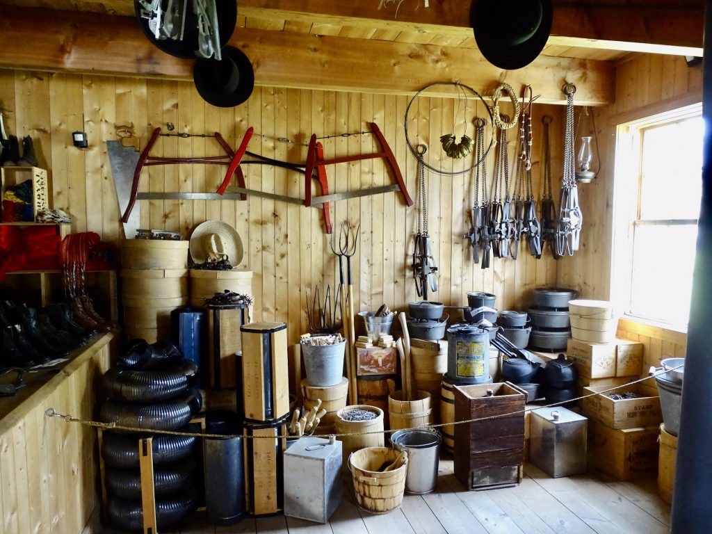
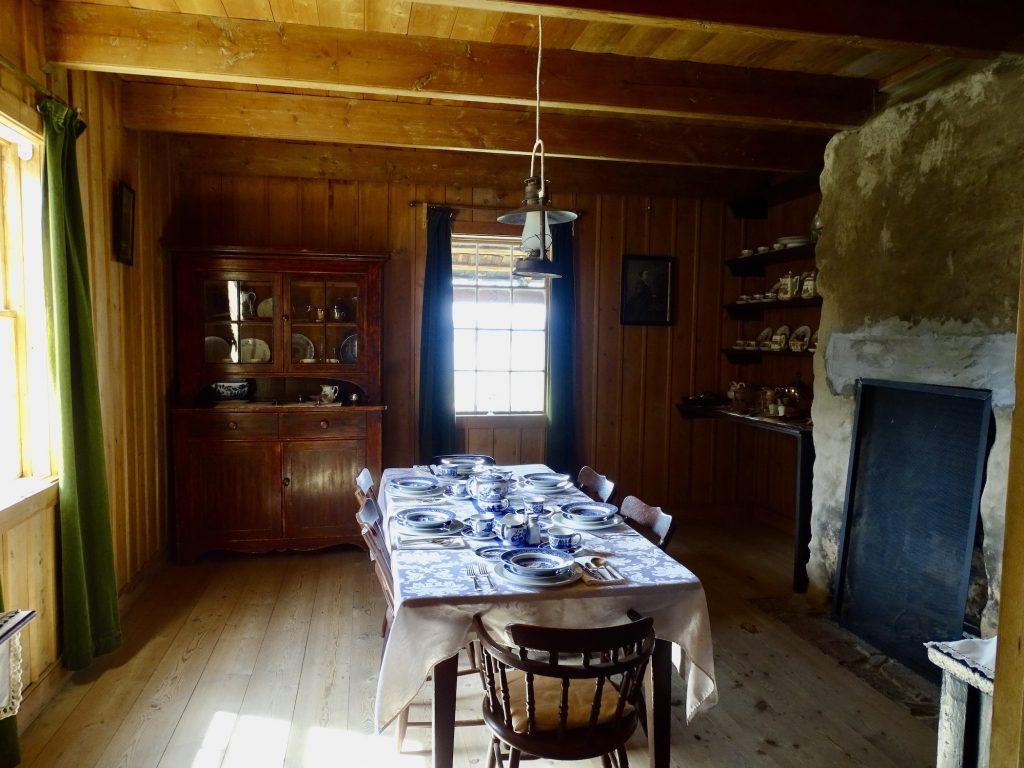
Monday we headed north up to the Fort Saint James National Historic Site in the town of the same name. For as far back as known history takes us, this area was the home of the Nak’azdli Nation of the Dakelh people. In 1806, Simon Fraser and John Stuart built a trading outpost on the south end of Stuart Lake. It played an important part in the western expansion of the North West Company and in establishing trade relations with the Dakelh. In 1821, when the Hudson’s Bay and North West companies merged, the Stuart Lake Outpost was renamed Fort St. James. In the same location, the Fort continued to actively trade until 1952. The historic site contains the actual layout of the Fort, with some original buildings and some rebuilt through the years. We arrived in time to check out the small museum, then take in the highlight of the morning (besides the history, of course)…World Class Chicken Racing! You read that right. They have three races of five chickens each. It was hilarious! Especially when the third race started and a bunch of ducks came out!! We could pick a winner for a chance at coupons good at the cafe or gift shop. I didn’t win a darned thing, but MW picked TWO of THREE!!! He said he studied the sheets before the race. Who knew he could pick a winning chicken or duck, as the case may be?! Next we headed over to the cafe for lunch…curried chicken wrap for MW and roast beef sandwich for me…pretty good. Then we toured the rest of the Fort. They had people in the various buildings giving presentations and answering questions. It was very well done. One interesting thing I learned: While there were plenty of other uses, the number one reason that beaver was so popular back in the day was for hats. Unlike the typical fur trapper’s hat with flaps to keep out the cold, most of these were very smooth, similar to a good cowboy hat today. So how does beaver figure in? Beaver pelts have two different kinds of fur, one very coarse and the other very soft. The former was not used and was hand-plucked out of the pelts. Once the soft portion was left, they used chemicals and tools to scrape the soft fur off. That fur was then felted, creating a firm, even material out of which hats could be fashioned. Beaver fur had the added benefit of having little hooks along the hair shafts, which formed a tight weave in the felting process with the added bonus of retaining the waterproof qualities of the original fur. Pretty cool, huh?! After driving back to Vanderhoof, we finished up the day with a few errands. It has taken me a bit to get back into the writing habit after my side trip last week, but I was back on that horse in the afternoon.

Tuesday I rode my bike into town to meet MW at the Homestead Brew Pub for lunch. That place was delicious…MW had the Brewhouse Burger and I went for the Doctor Pepper Pulled Pork. Then we both sampled the Key Lime Cheesecake. Double YUM!! While there, MW helped me fill in some gaps in information from the time I was away. When we were done, he headed back to Petunia, and I went for a longer bike ride before parking myself in a corner booth at McDonald’s to concentrate on writing for a few more hours. That trend continued into the evening. I’m determined to get caught up again!!
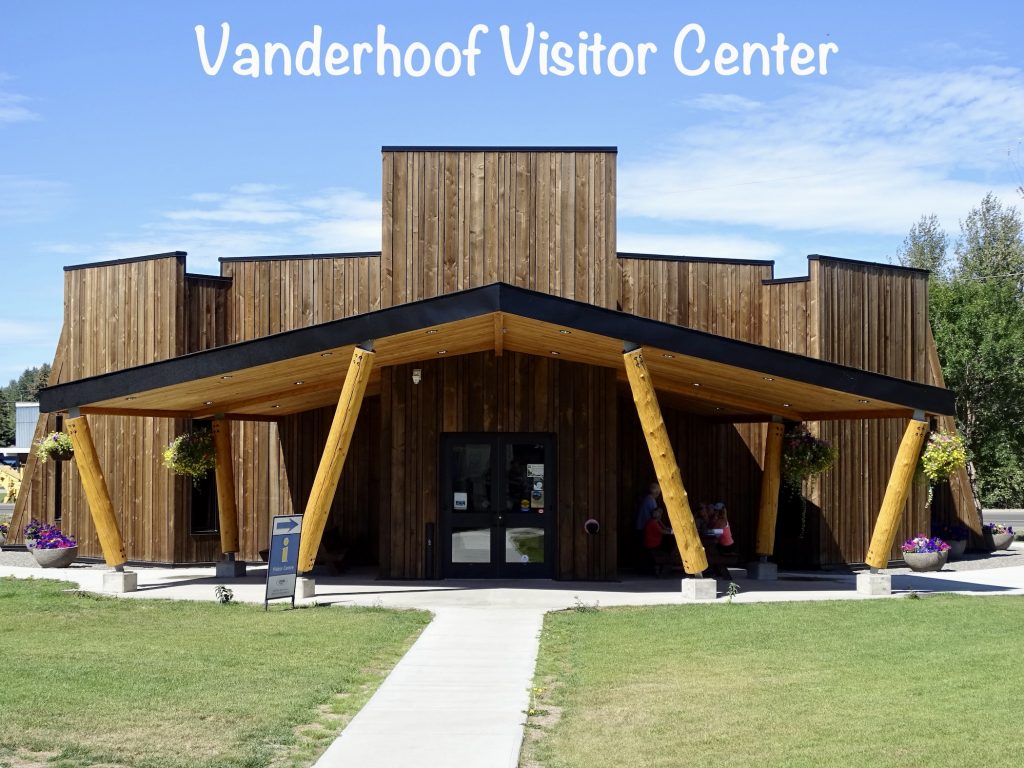
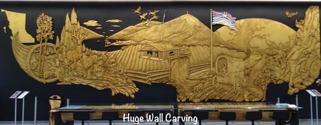
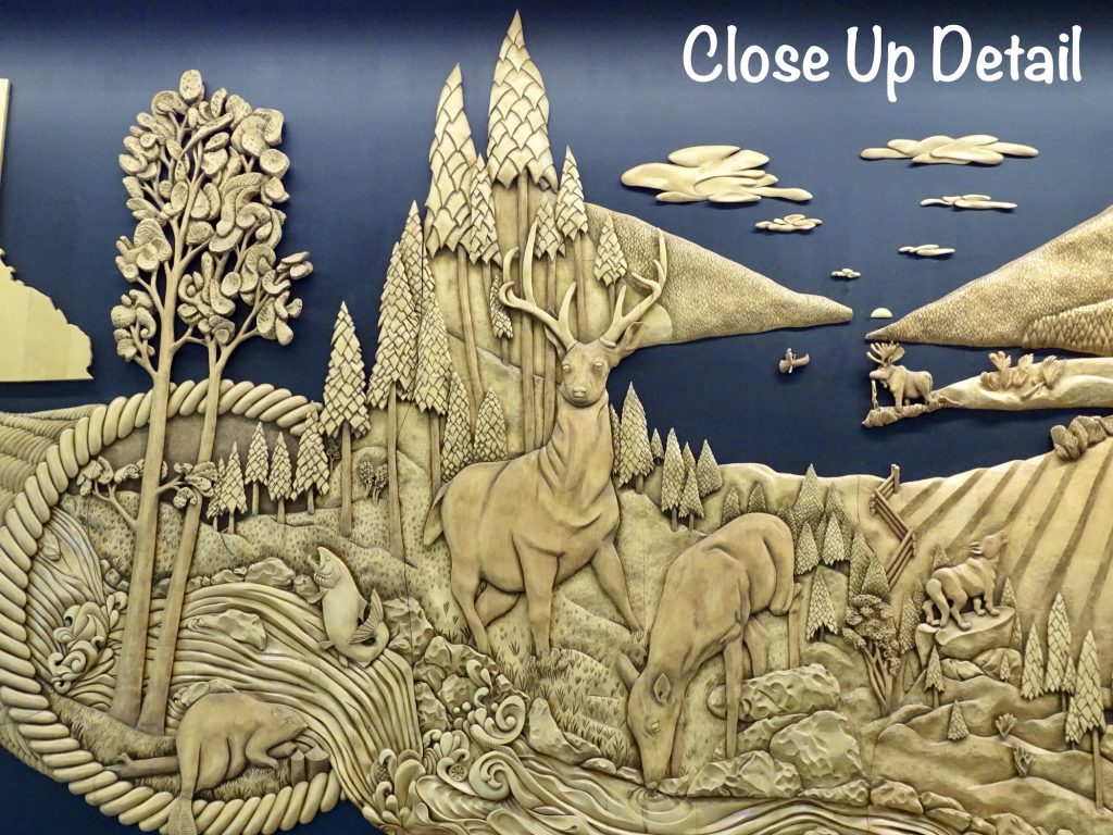
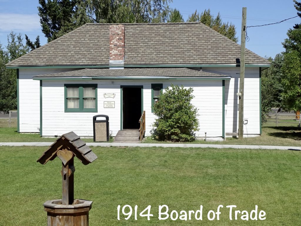
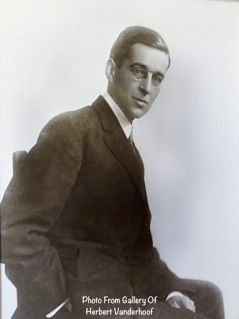
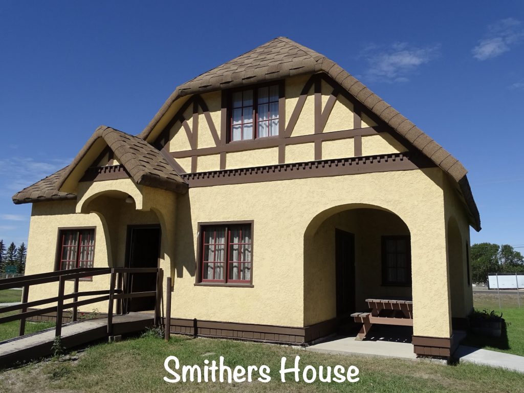
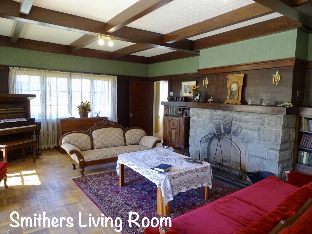
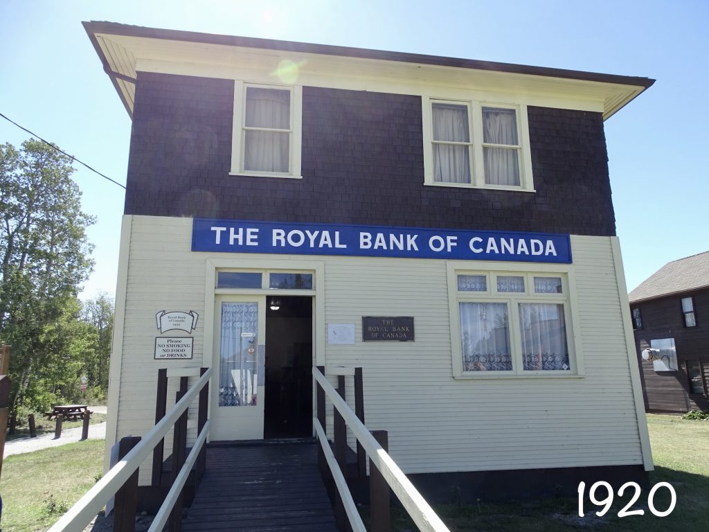
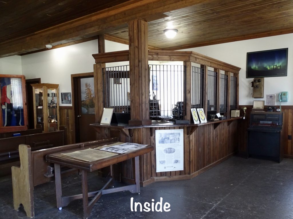
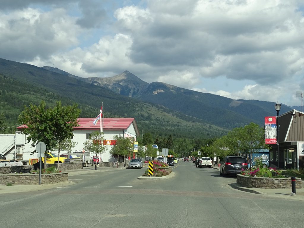
Wednesday we started out at the Vanderhoof Tourism and Cultural Centre & Community Museum. There we found visitor information and a little town of historic buildings with history and other information. Some interesting bits: 1) The town is named for Herbert Vanderhoof, who was actually an immigrant from St. Paul, Minnesota. He founded Canada West Magazine and was part of a dozen people who came to this place in the early 1900s. Vanderhoof fell in love with the area’s natural beauty and had grandiose plans for his budding namesake. Sadly, he was ahead of his time in terms of available resources and infrastructure. He ended up going bankrupt and went back to the United States, never to return. 2) The Dutch meaning of Vanderhoof is “of the farm”, an appropriate name for a town eventually settled by farmers. 3) One of Vanderhoof’s most famous alums is also an American. Rich Hobson, Jr., was born in New York City, but he felt ranching in his veins. He relocated first to Montana, then up to a then-wild section of British Columbia to start a cattle company with some buddies. They built it through the depression, and it continued until Canada joined WWII and workers became scarce. By the end of the war, he and his wife, Gloria, ended up purchasing the Rimrock Ranch about 30 miles south of Vanderhoof. Around that time, he also got the writing bug and began submitting articles for publication and working on a book. By the time of his death in 1966, the “Bard of Rimrock” was Canada’s all-time best-selling non-fiction cowboy author. A TV series “Nothing Too Good For a Cowboy” was later made that chronicles some of his writing. If you are a fan of the Murdock Mysteries, you might want to look it up. That little cutie Yannick Bisson (Murdock) is also in this series. 4) The Smithers House was very nice for its time, but it might have some bad mojo. During their tenure, the Smithers lost ALL THREE of their children to freak accidents. Their oldest son, Bill, drowned in a grain silo while playing at 12 years old. Their other son, Ken, worked for BC Hydro as a linesman in 1965. He was electrocuted on the job, survived by a wife and SEVEN children. When the only daughter, Emma Silver, heard of her brother’s death, she and her husband boarded a flight from Winnipeg to be with the family. The plane crashed, a suspected bomb blast, and all 52 people aboard died. Four passengers were individually suspected, but no one was ever charged. Thankfully, the Silvers left their two young sons behind with a friend. I just can’t imagine!! 5) Most of us have probably heard the work of another Vanderhoof alum, Jim Vallance. The well-known Canadian songwriter moved to the area as a child when his father was sent to manage the Royal Bank. As a young man, he played in many bands, both local and around the territory. He wrote or co-wrote hundreds of songs recorded by many artists such as Aerosmith, Neil Diamond, and Alice Cooper. One of those is the #1 song in Canadian history and the lyrics chronicle some of his experiences living in Vanderhoof. It was made famous by Bryan Adams…The Summer of 69.
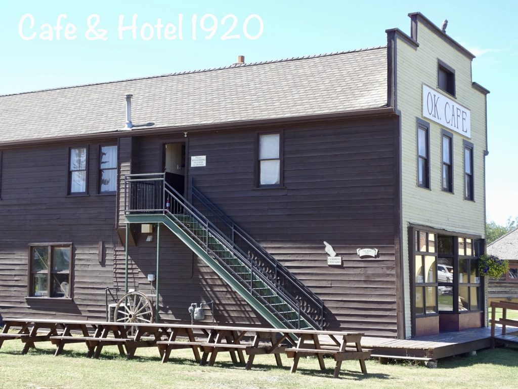
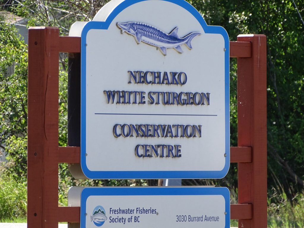
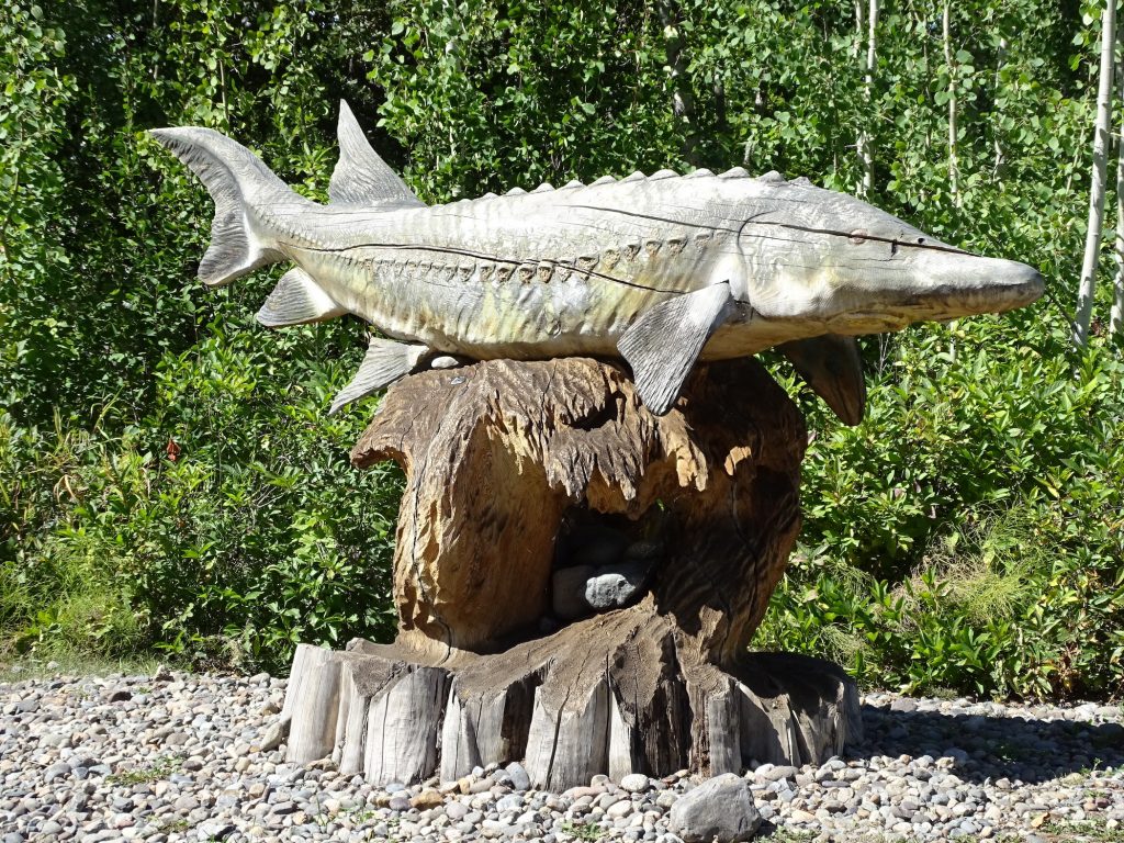
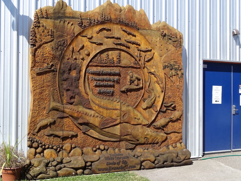
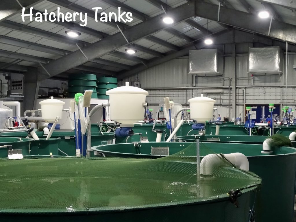
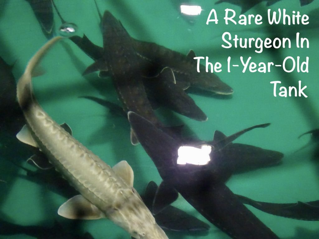
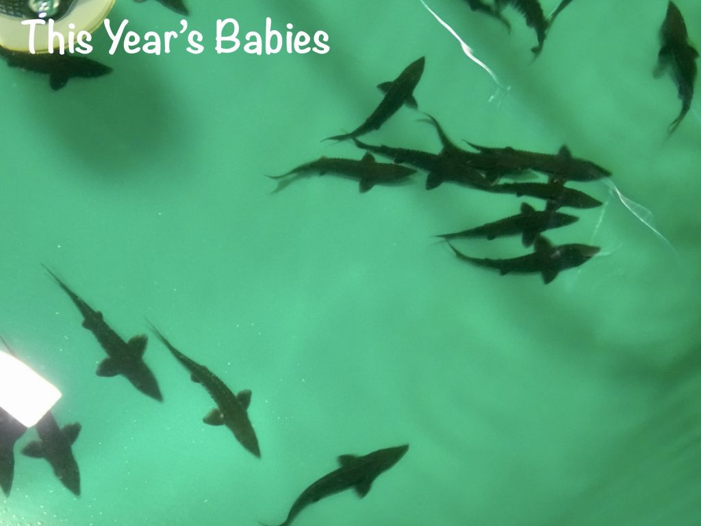
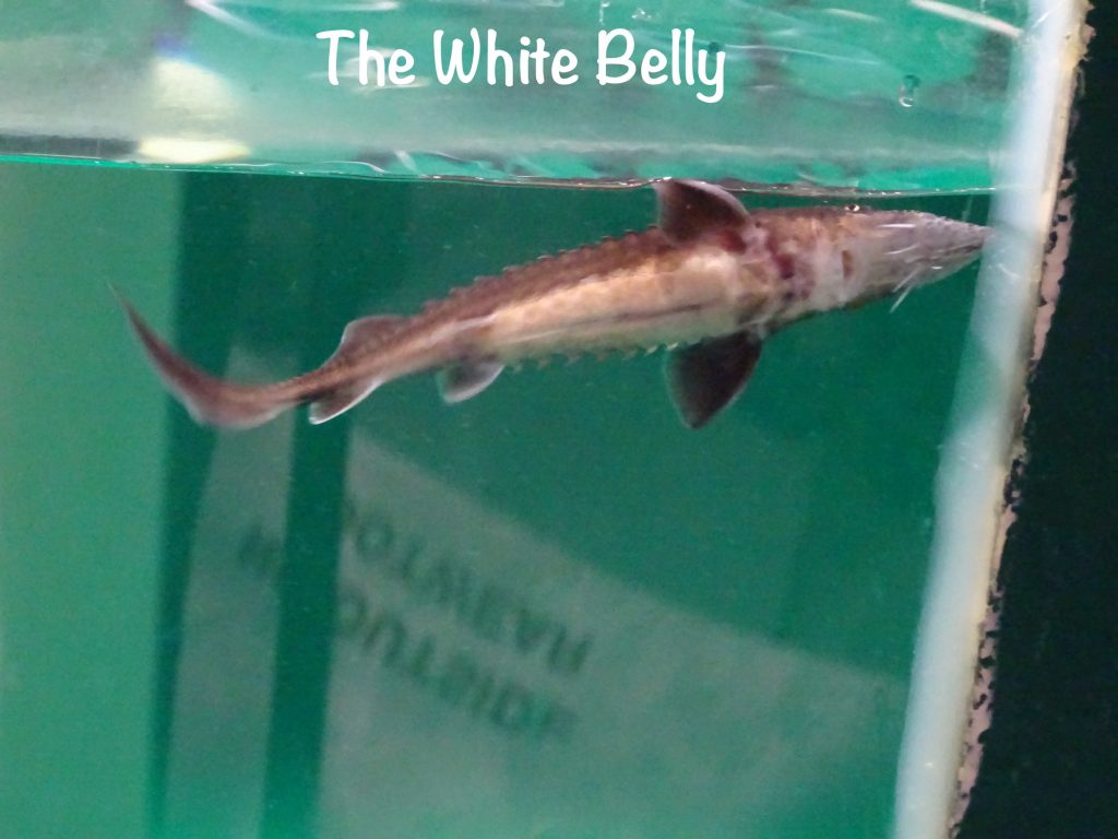
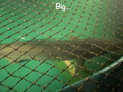
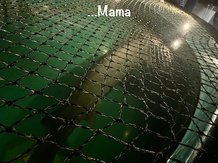
After checking everything out, we popped into the OK Cafe to take home pie slices from the Gifted Chef. Reviews said this was a must, and they weren’t wrong. After picking up some groceries, we headed back to Petunia to relax a bit and wait for the time of our next tourist opportunity for the day. Sturgeon. Yes, the fish. The tour across the street at the Nechako White Sturgeon Conservation Centre started at 2 PM. (They are dark colored, but their bellies are white giving them the name.) The Nechako River is the historic spawning grounds of these huge fish, but changes in the river bottom, such as more sand than gravel due to silt from flooding, have caused a drastic decline in the population. There are some restoration efforts on the river, and this center monitors the population, collects males and females for fertilization, then returns the small fish to the river to begin a new life cycle. Believe it or not, if that tiny fish lives a full life, it will outlive my great, great grandchildren. They grow to almost 10′ long and live for about 100 years! The hatchery is a series of tanks with fish of different ages. This season’s babies are around 4-6″ long, and the 1-year olds are around 16-20″ long. They aren’t even considered adults until they are 20 years old! In a separate building they had a grown female for egg harvesting that was over 6′ long!! Our tour guide, Penelope, was great and a wealth of information.
After returning to Petunia, I left MW and headed up to Tim Hortons to get some more writing done. I parked myself in a quiet corner and got to it. You know, in a public place there are always people coming and going, and I’m very good at tuning all of that out. This time, however, it was tough. Two women came walking into the front door with two very small children and a wagon filled with toys. They parked the wagon at the booth next to mine, and walked out the side door, leaving the kids in the restaurant. While the Moms were sitting out on the curb smoking with their backs to the windows, the kids were running all over the place, screaming, throwing things, running toy cars along other peoples’ tables. It was truly ridiculous! I packed it in, and as I was headed for the front door, the Moms came in the back door. Apparently the tykes had disappeared (in the bathroom), and not seeing them when they walked back in caused a bit of a Mom freakout. I felt guilty and asked forgiveness for thinking…serves them right. I know, I know.
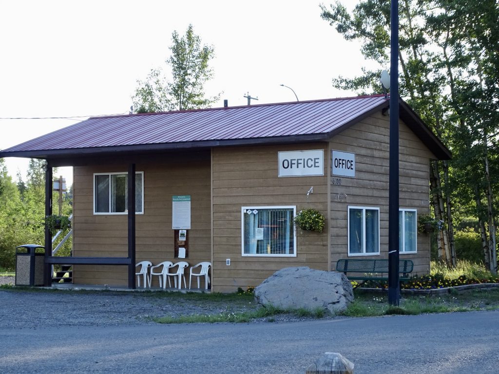
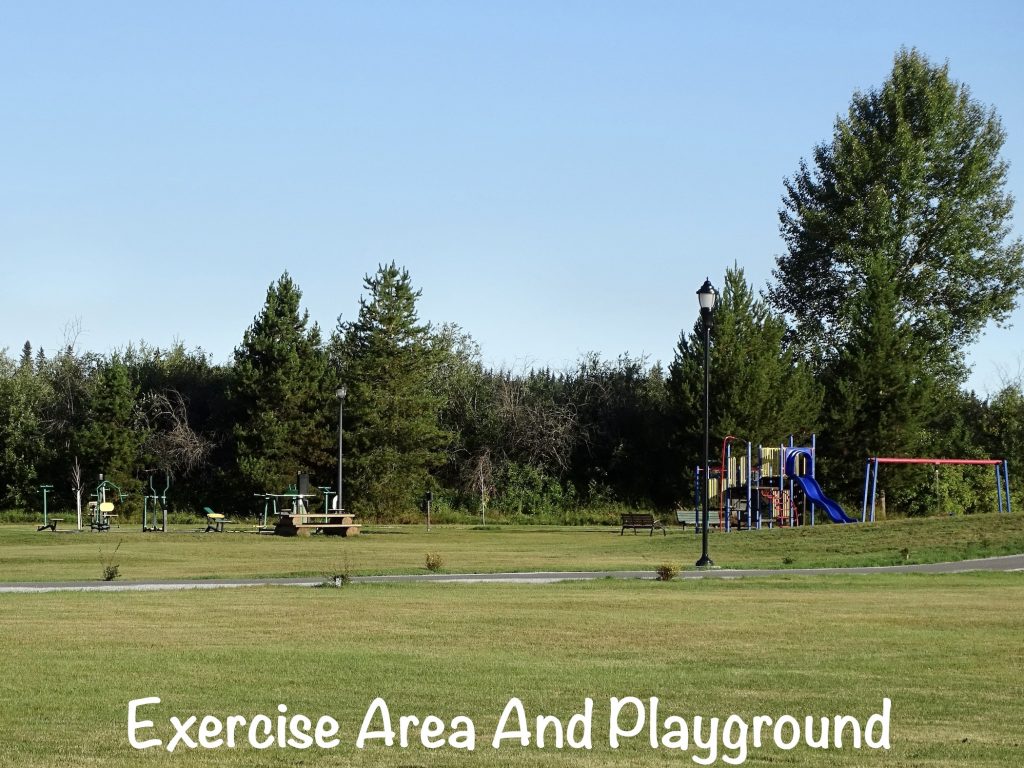
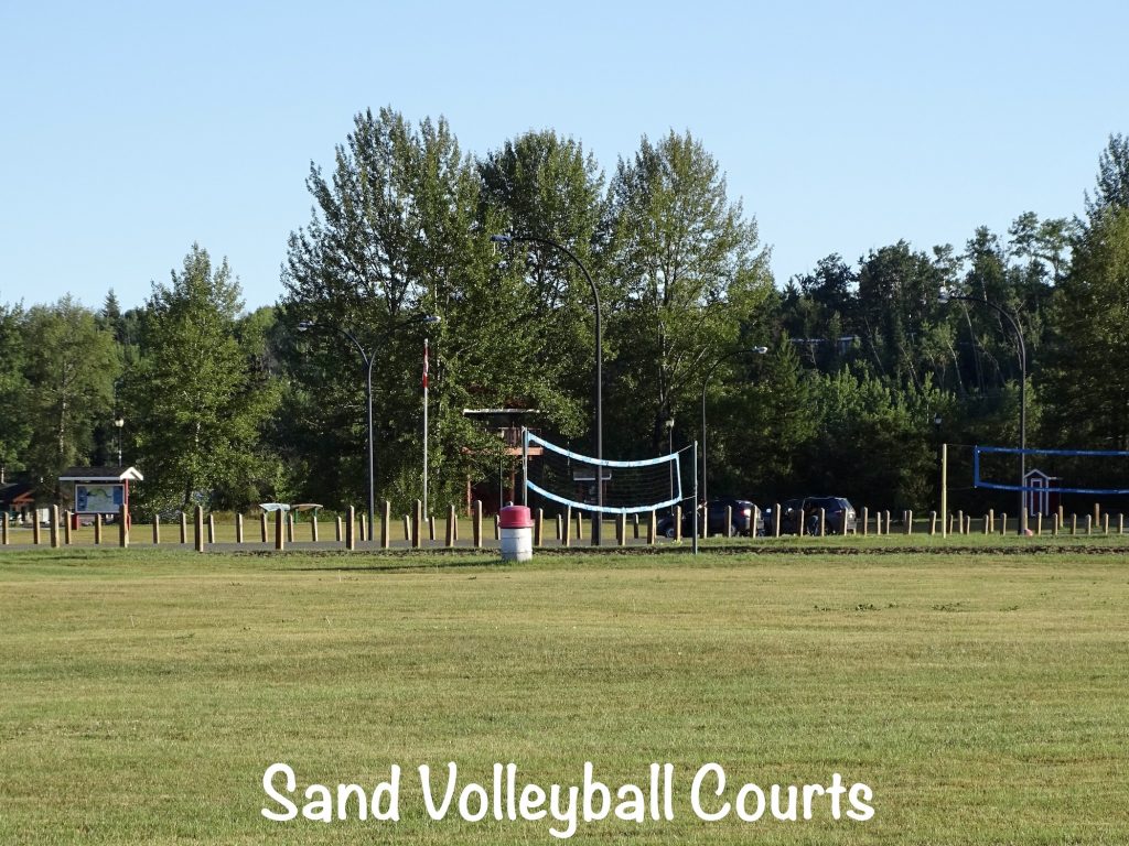
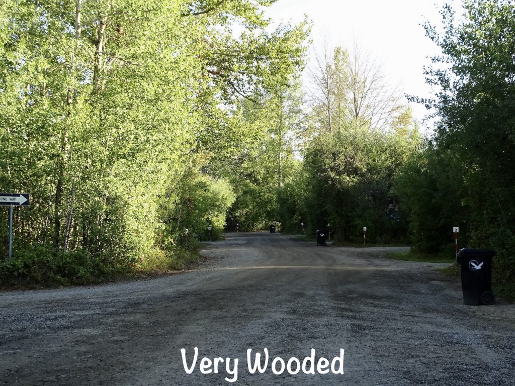
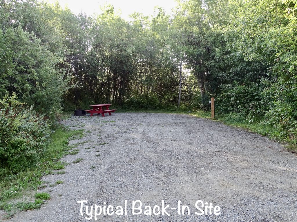
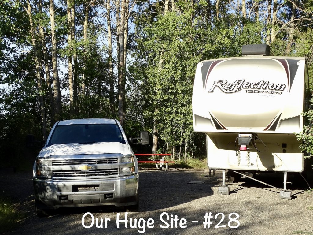
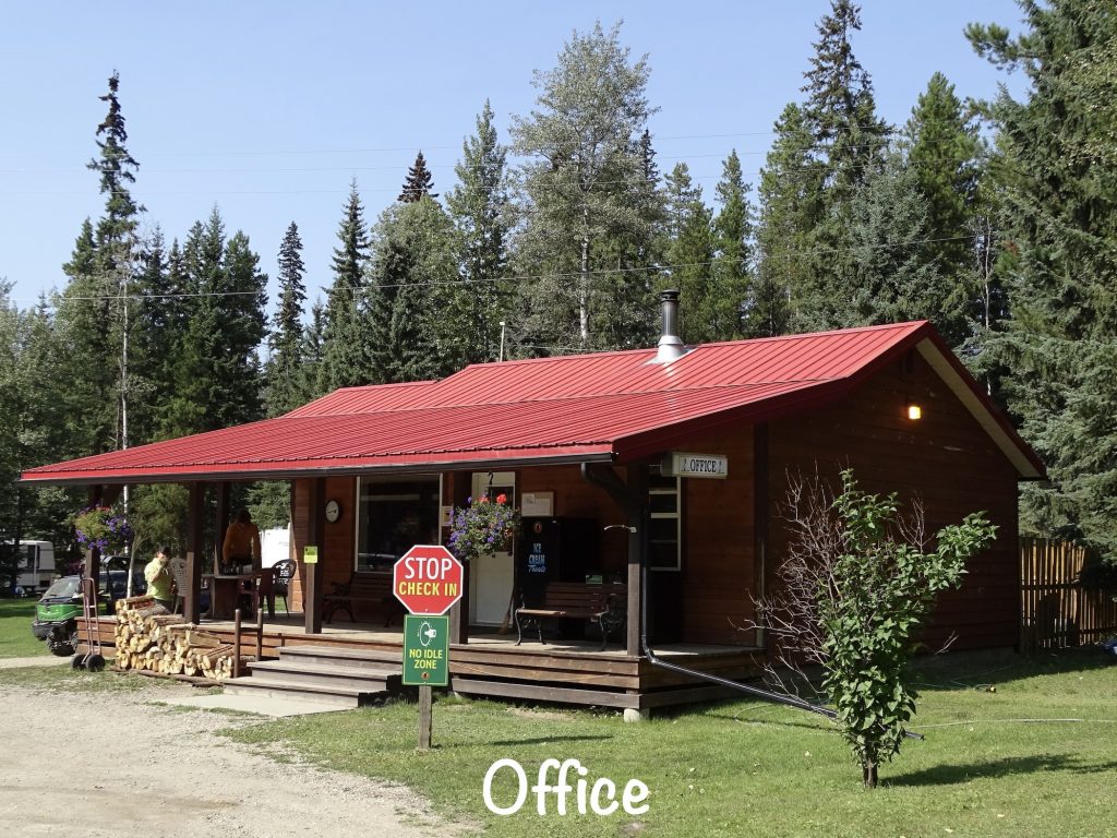
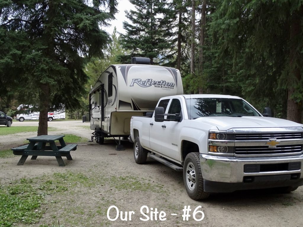
Riverside RV Park is part of a very nice city park in Vanderhoof, British Columbia. Located on the banks of the Nechako River, it has a playground, swimming beach, volleyball court, pavilion, walking/running path, boating, and exercise area. The campground is laid out similar to a state park in the U.S., with sites spread out nicely in the woods. They left plenty of space and lots of greenery for privacy, too. There are 38 sites, 9 of which have electricity and water. They say wifi is available, but we didn’t look for it or use it. The bathhouse was very nice and clean, and there was also a little laundry and a dump station ($2 Canadian). That was truly one of the best sites we have ever stayed in, and there have been hundreds! You did get a little noise from the road, and people used the park fairly early, but it wasn’t bad at all. We were wishing we had booked longer there when we left. For this stay in August 2023, we paid $137.22 for 5 nights.
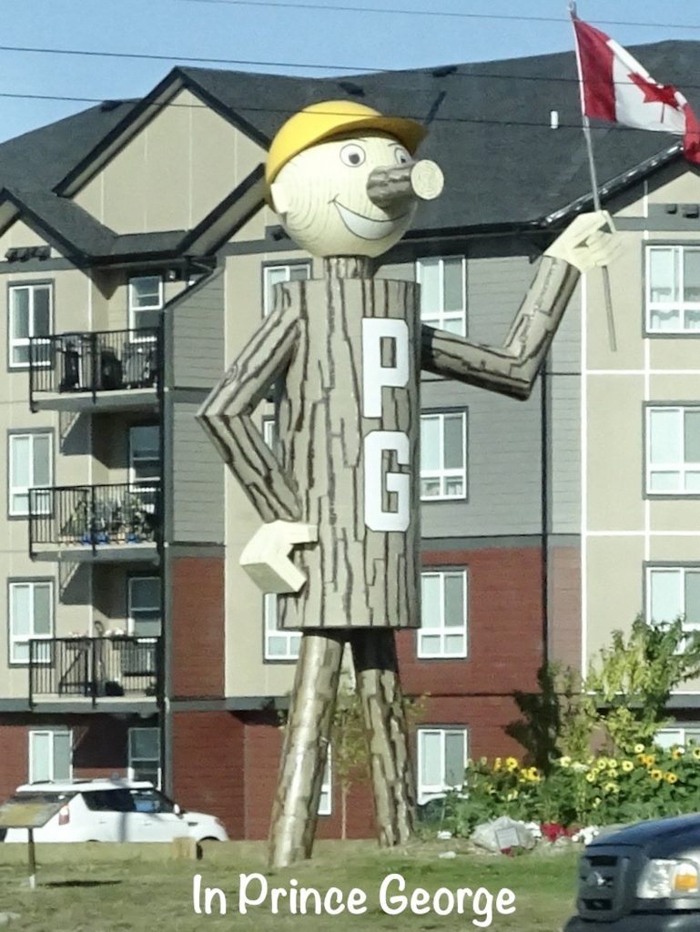
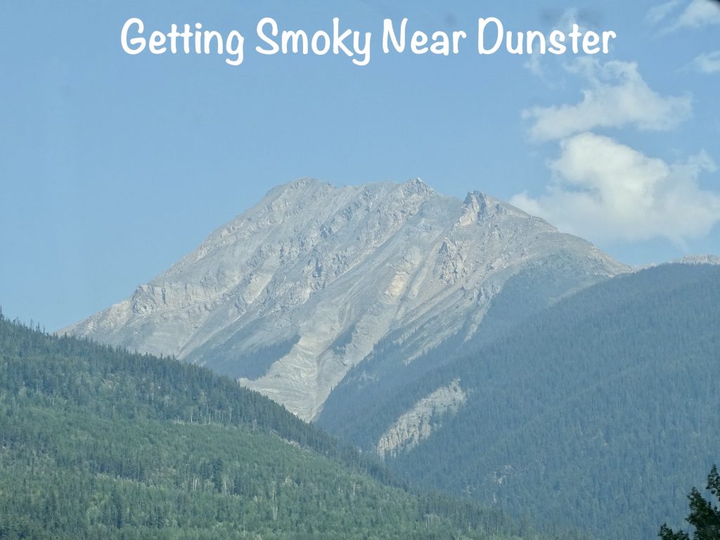
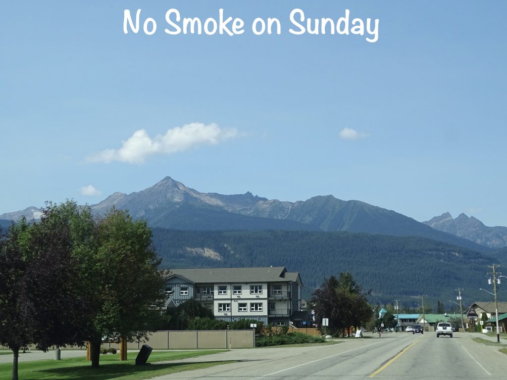
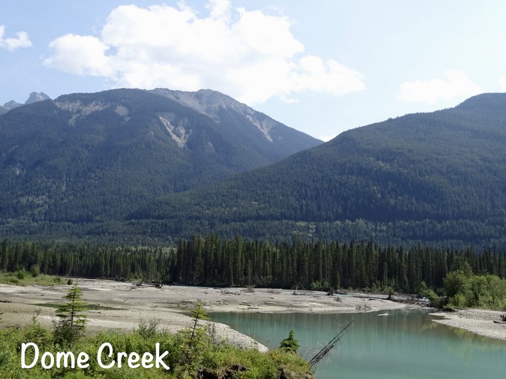
Thursday morning was gorgeous, and we hit the road before 8 AM. We headed east on the Yellowhead Highway and made our first stop in Prince George at Fraserway RV. Petunia has spring a leak at the foot pedal on the toilet. Unfortunately, they didn’t have what we needed. It seems that someone else had the same issue and ordered the part the night before. Bummer. While MW was looking into that, I had a nice conversation with Steve Nickolls, a salesman there. We’ve been toying with a change to our plan (more on that down the road), and he was super helpful and a wealth of information. If you are in the area and looking for help, he is your guy. Back on the road, we made it to McBride and stopped for lunch at the Beanery 2 Bistro co-located with the Visitor Center. A little sandwich spot, they had very fresh food with uncommon flavors. The potato salad was amazing! As we headed back out to the highway, we passed a herd of deer just hanging out in town. A bit further down the road, we caught sight of another large black bear in a field. We finally arrived at Yellowhead Campground around 1:30 PM and got set up. It started out as a very beautiful day, but became a bit smoky the further south we traveled. It still wasn’t too bad, but you could definitely tell it was smoke. Oh, and I forgot to mention…it was DANGED HOT!! I did not come to Canada for almost 90!!!
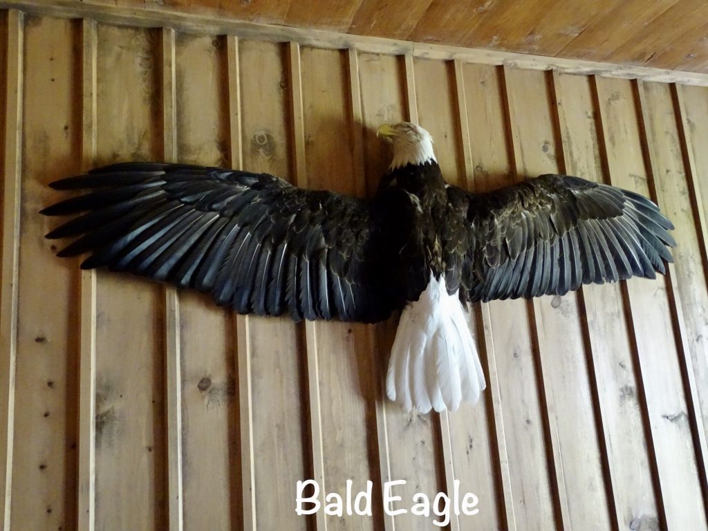
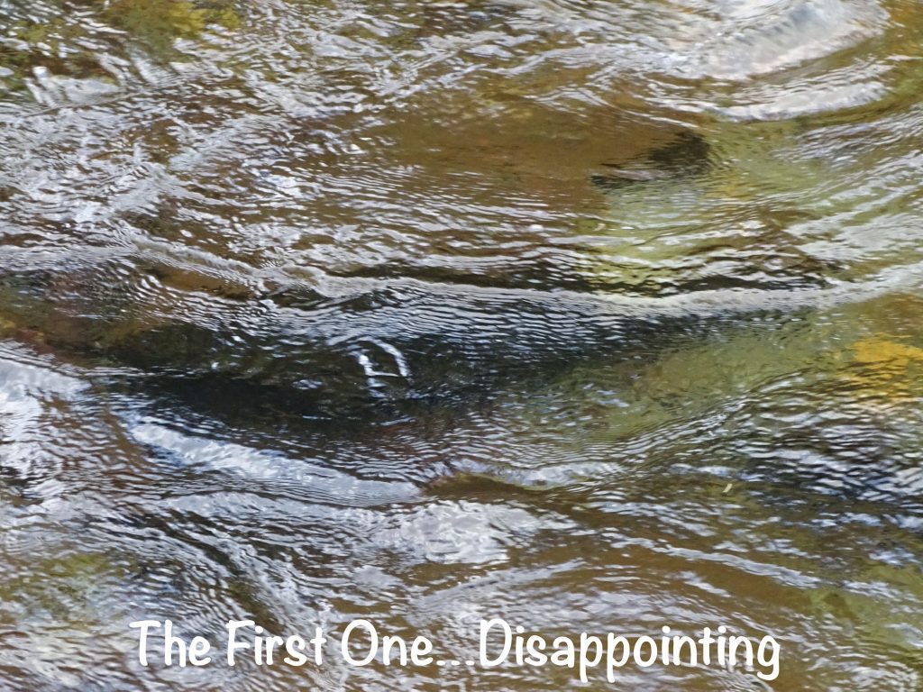
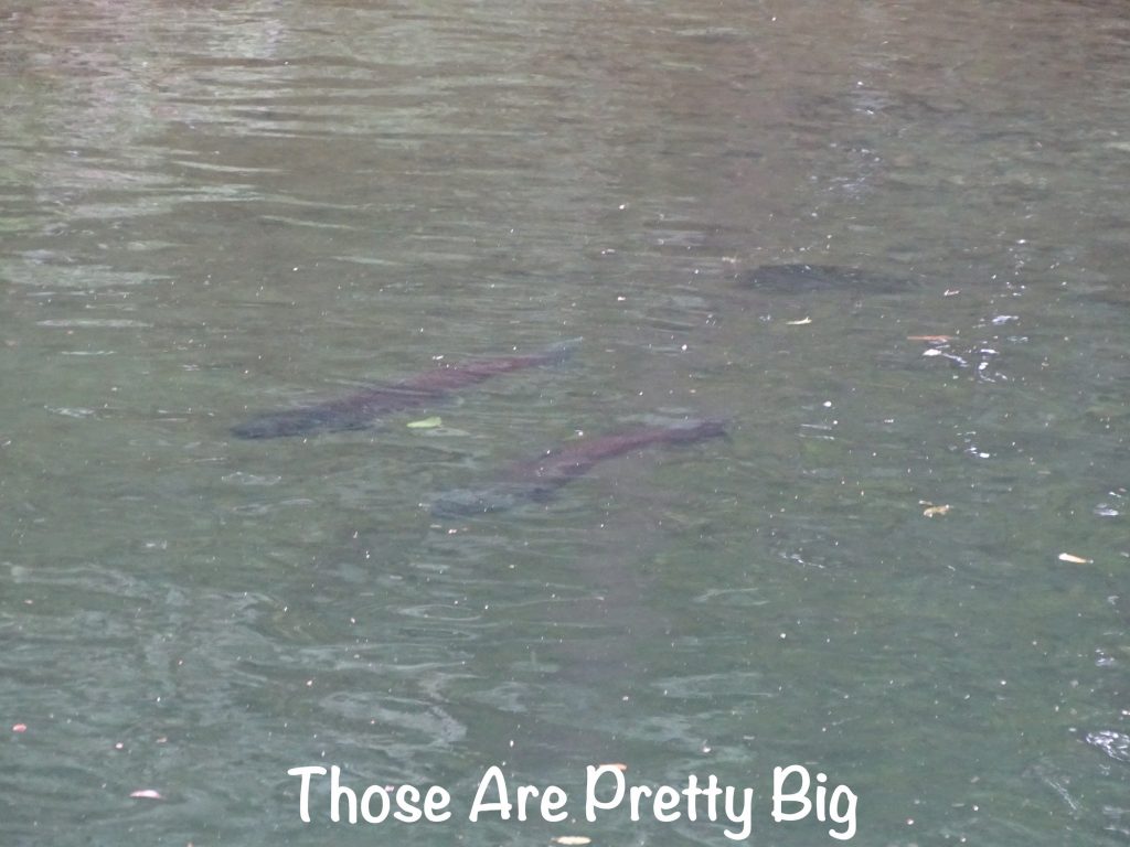
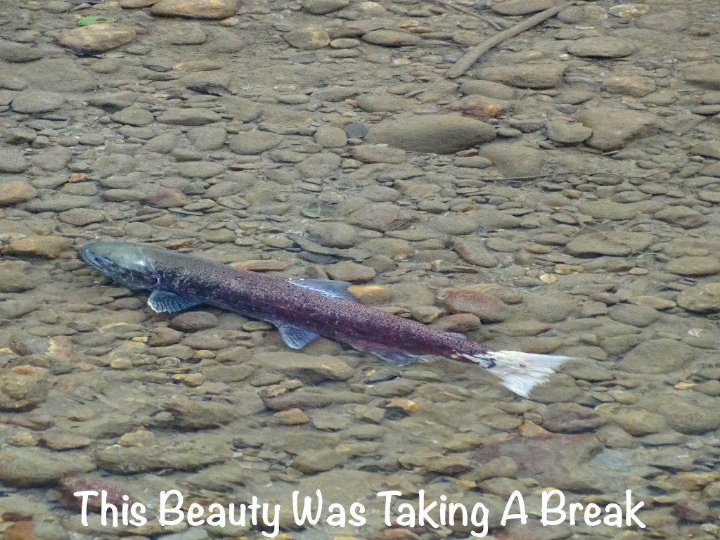
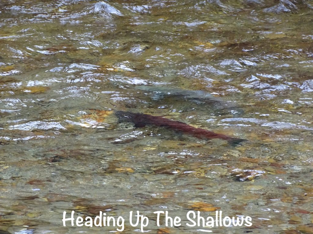
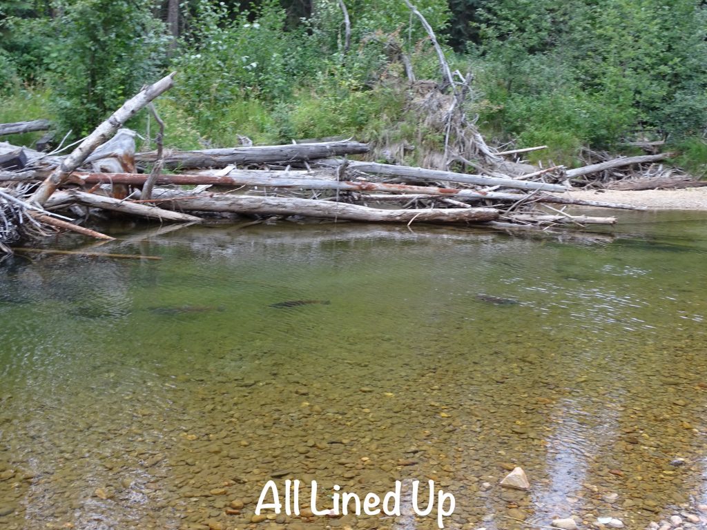
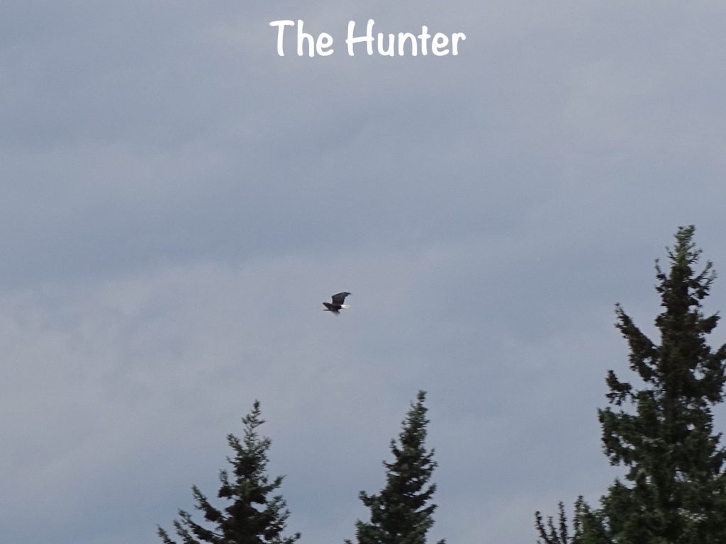
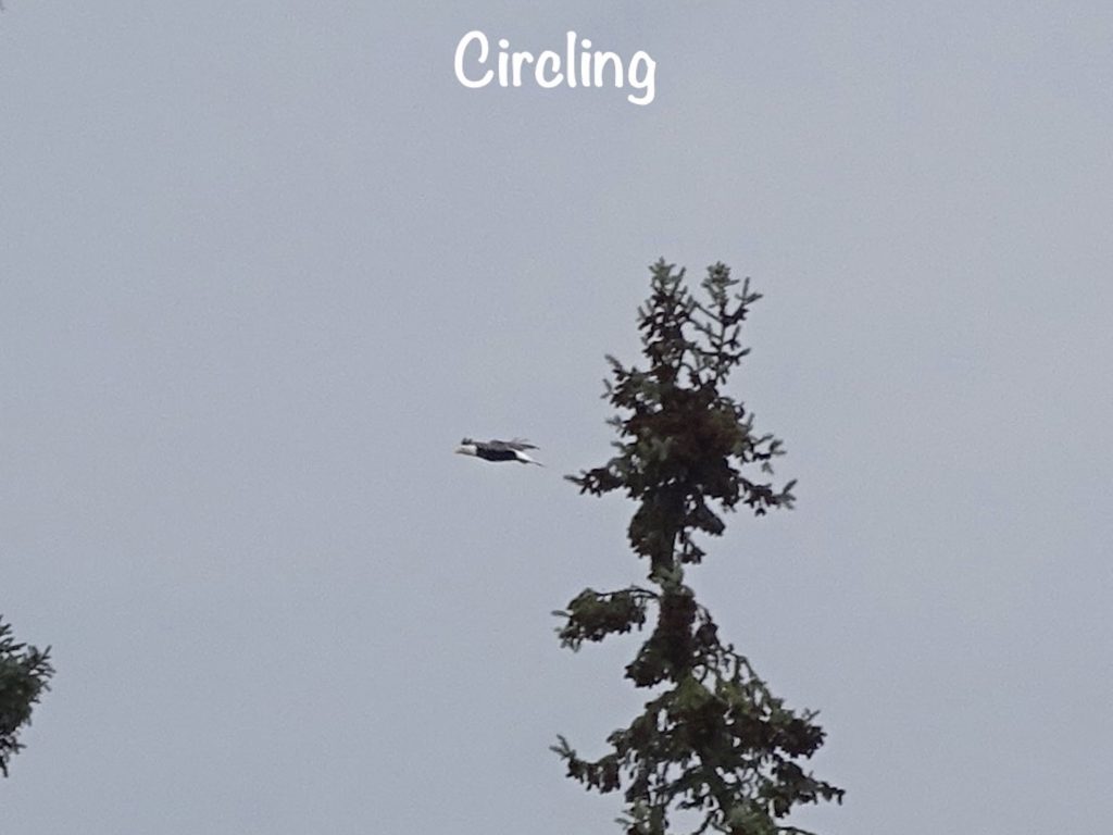
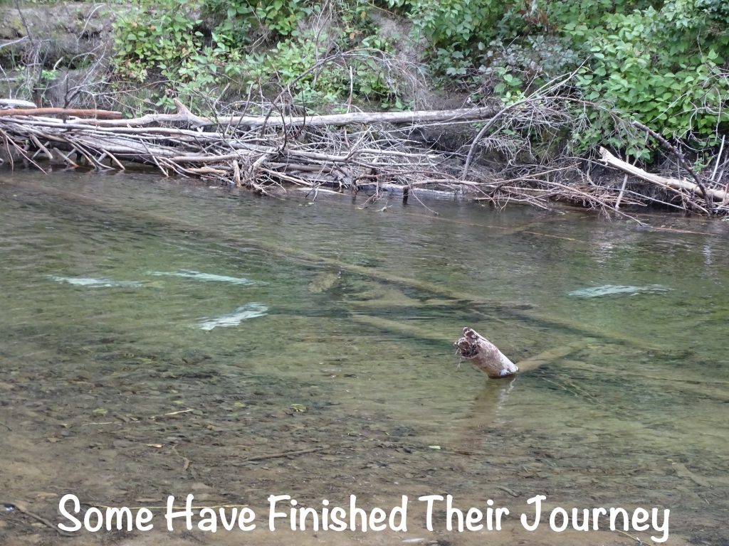
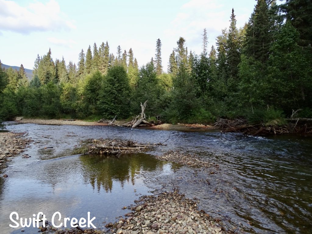
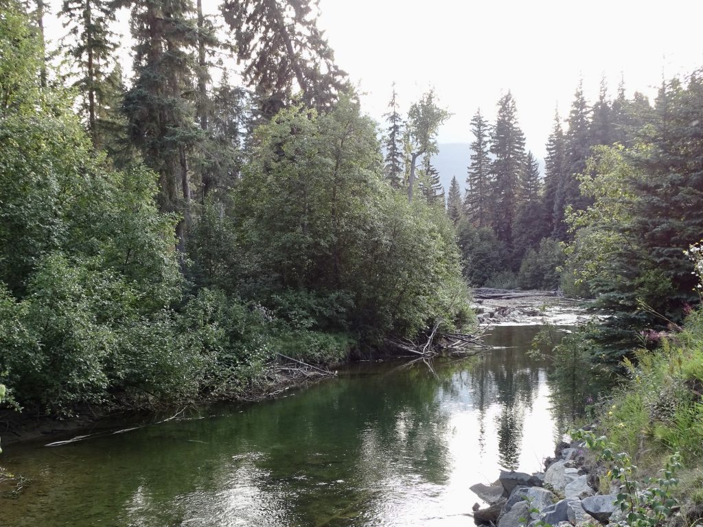
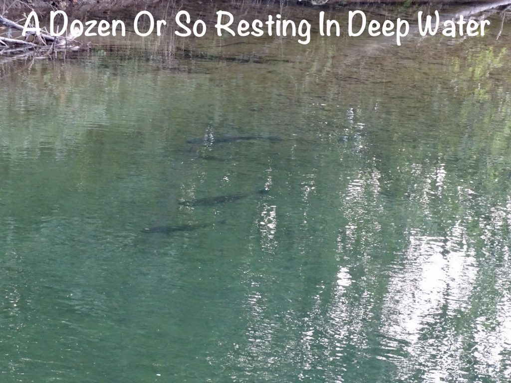
When we checked in at the campground, they mentioned that we could go down to the creek and check out the salmon. We ACTUALLY arrived here when some were still headed upstream to spawn!!! I was so excited. Canada is serious about salmon spawning, and you CANNOT touch the water, allow your pet to touch the water, cast a shadow on the water, throw rocks in the water…the list goes on. These are all arrestable and/or fineable offenses. I didn’t do any of those things, but MW and I did go check it out. At the first spot I saw a fish-shaped shadow in a deeper section. Disappointed, we walked to other spots and ended up seeing large ones swimming around in deeper water, some fighting their way up shallow rises, and some dead having either run out of energy or completed their mission. It was really amazing. Before we headed back to our campsite, we also saw an eagle circling overhead on the hunt. Too cool!
We awoke Friday morning to much more smoke. Thankfully, the forecast called for rain, so we were hoping that would clean some of it out. The town of Valemount has a footbridge and deck over the salmon spawning grounds, so we went to check that out with no luck. A couple that was there when we arrived said they saw a pair swim downstream just before we walked up, but we stayed for 10-15 minutes and didn’t see anything. Lunch options were slim. There are several restaurants in town, but they only open for supper. They also have a couple of fast food options, but we weren’t looking for that. We drove through the main section of town to the Valemount Swiss Bakery thinking sandwiches, but everyone else appeared to have the same idea. (Honestly, if one of the restaurants opened for lunch, I think they’d make a killing.) We ended up at the McLennan Truck Stop, a basic breakfast and lunch diner on the highway. On top of being smoky all morning, it was also raining off and on all day, which kept the mountains hidden. We had been keeping an eye on the wildfire situation for weeks, and back at Petunia, we decided to redo some reservations to change our route. A while back we had changed things up to go back into the U. S. east of the mountains in Washington state, then travel west through the North Cascades National Park. There is only one road there, and it has been closed for wildfire activity. We switched it up to go back into Washington west of the mountains, then see if we can access the park and Visitor Center from that side when we get there. With any luck, there will be good rain and slightly cooler weather helping the firefighters get the job done. With a dreary afternoon in the making, I decided to head somewhere to sit and write. It was about 2 PM, and I picked Tim Hortons. The line was out the door, and it was attached to a gas station and had no seating. Plan B…A&W across the street was also in a gas station, but had a full restaurant. Lines there were about to the door, and seating was full. Okay, one last option…Subway, also attached to a gas station. There was a line, but plenty of seating, and I was able to snag a table in the corner out of the way. While I was in line to get a drink, a guy came up and asked if he could use the electrical outlet right by my table to charge his phone. By the time I returned with my drink, he was in mid-conversation with someone saying that he was concerned about his road trip. Someone in the gas station had told him British Columbia was basically saying “If you don’t live here, don’t come.” He was told that you cannot get a hotel room in the province because everything was being used by evacuees for the wildfires. When he got off of the phone, I asked what information he had been given and looked stuff up on the computer. He was headed down to Kamloops, which is our next stop, then on to Vancouver Island, where he was also told the ferry was not running. After we talked about it and he conferred with the person he was heading to meet, he decided to continue as planned. There are pretty good websites in Canada to tell you about road/ferry closures and fire/smoke activity, and I couldn’t find anything that had the sense of urgency that he had been given. I guess the messenger was an alarmist. I wrote for a couple of hours, then headed back for a delicious beef roast supper that MW whipped up in the air fryer. Delicious!
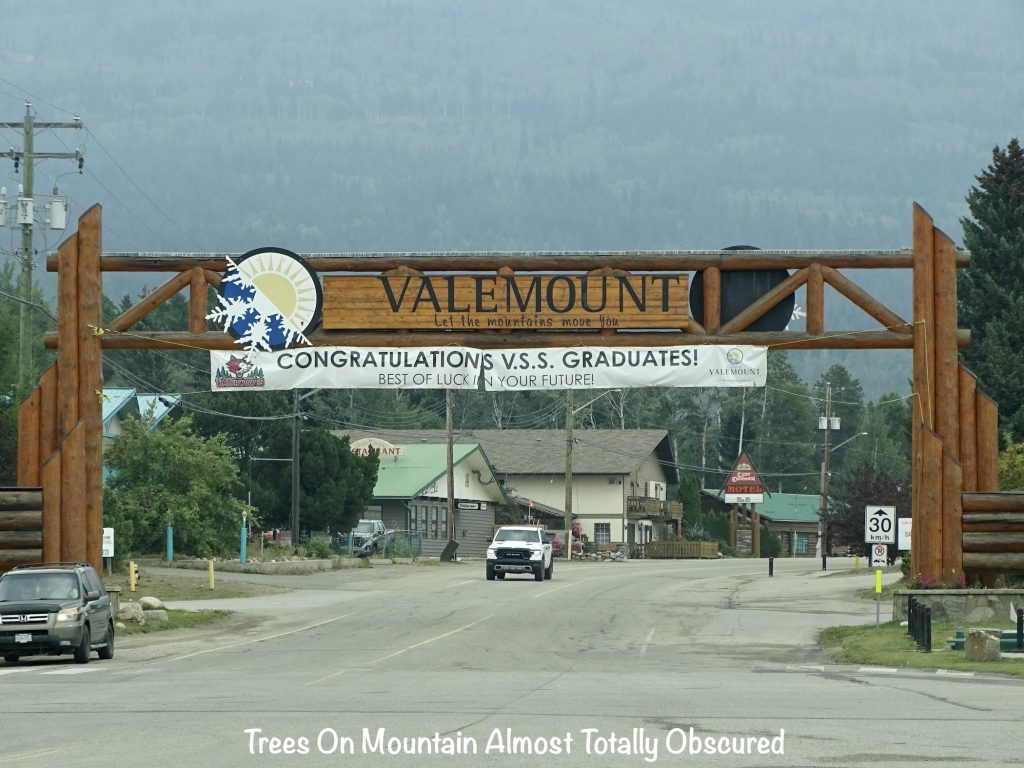
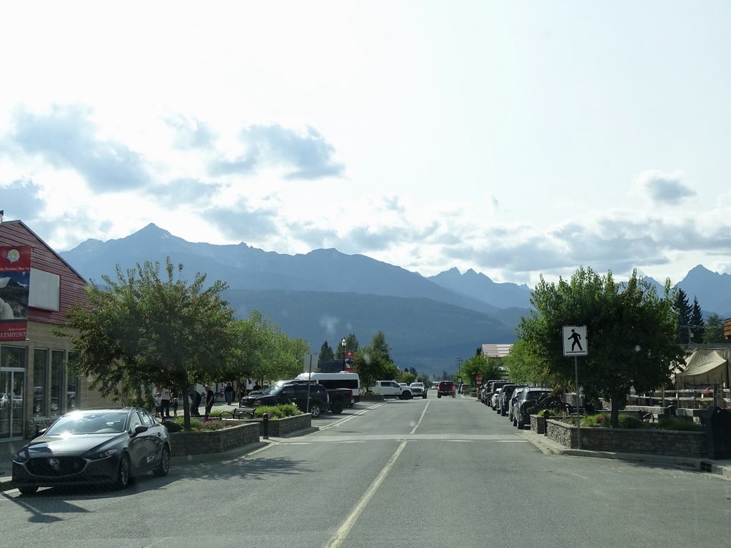
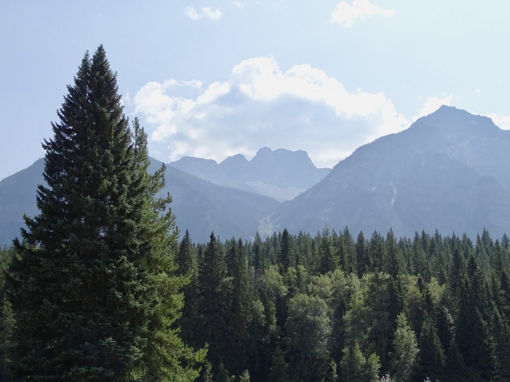
Saturday we planned to drive over to Mount Robson Park about 30 minutes away, but the mountains in town were still in the clouds, and we didn’t think we’d be able to see it. Thankfully, the smoke was completely cleared out, though, and it was just clouds. We had a relaxing morning, then I spent a little time writing. I’m almost caught up!! Later in the afternoon I made a grocery store run and picked up supper from Scooters Pizza. Valemount sits in the Robson Valley between the Canadian Rockies, the Monashee Range, and the Cariboo Mountains. This afternoon was the first time I could actually see the surrounding mountains. They climb up in all directions and make it a very picturesque place. You can even see a glacier or two.
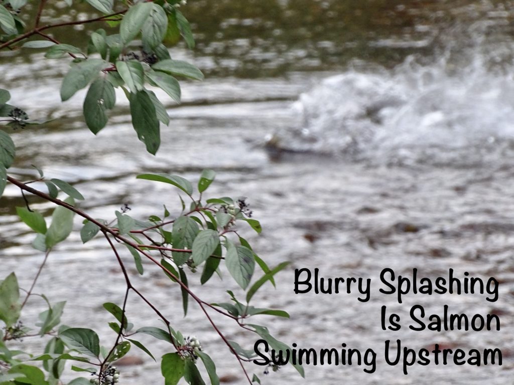
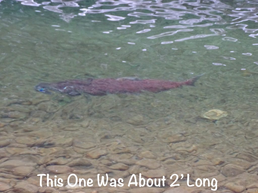
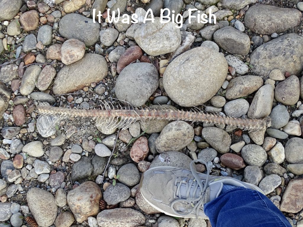
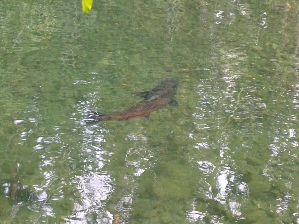
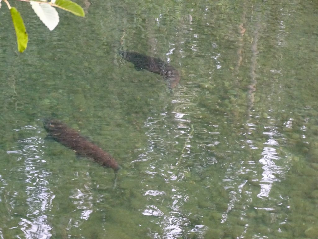
Back at the campground, I walked down to Swift Creek again to check on the salmon situation. I took a trail through the woods to a gravel outcropping. As I cleared the tree line, something medium-sized scurried off to my right, giving me a start. Whatever it was, I might have interrupted the end of its supper, as there was the backbone of a salmon nearby that had been picked clean. As I approached a spot where I had seen several salmon the day before, I was startled again when a huge fish suddenly splashed up out of the water just slightly upstream. I could barely make him out in the deeper water afterwards. Continuing down the edge of the creek, I checked a couple of other places. There were still quite a few in the deeper pool down stream, so I hiked through the woods to get a closer look. I was amazed at the size and how many were there. The pool was a resting spot before attempting the next series of shallower rapids. It is crazy how hard these guys work to make it back to their birthplace!
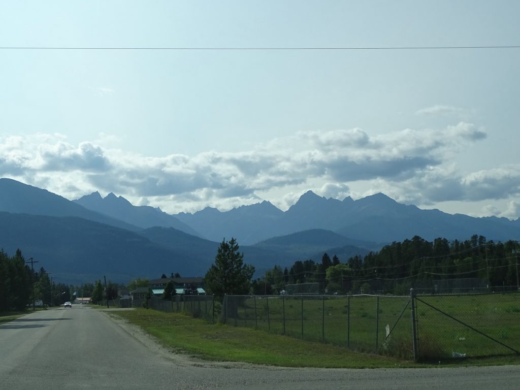
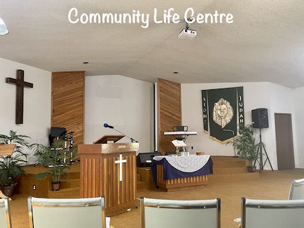
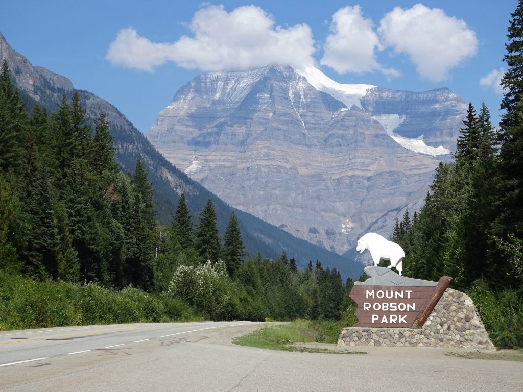
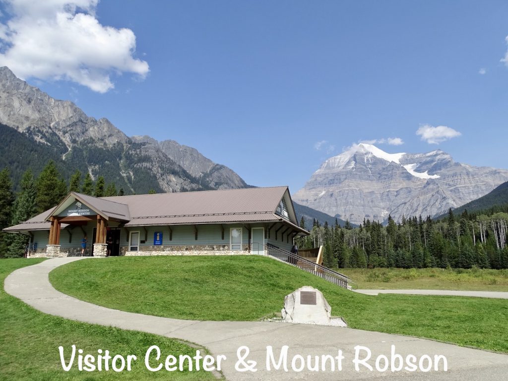
Sunday morning we headed to church at the Community Life Centre in town. It was a small congregation that was very welcoming. The service was heavy on music followed by a streamed Matt Hagee sermon from California. The message was good, and the dozen or so people there were very excited about a baptism in the creek scheduled for after lunch. With the age of those attending, I don’t think that happens often. Before we left, a nice couple invited us to their home for lunch. We told them it was such a clear day that we were going try to see Mount Robson, but really appreciated the invite. She said it had been so smoky lately that we should definitely go. After changing clothes, we stopped at McLennan Truck Stop on the way for a late breakfast. There we ran into a group of ladies from church who thanked us again for coming. I just love churches like that! The drive over to Mount Robson Provincial Park was gorgeous, and the main attraction was mostly clear when we arrived. The clouds are totally unpredictable, though, and conditions change rapidly. Even on this otherwise clear, beautiful day, about an hour later the mountain was almost covered in clouds, then was nearly clear again by the time we left. Mount Robson is the highest peak in the Canadian Rockies at 12,972′. The Indians call it Yuh-Lai-Has-Kun, which means “the mountain of the spiral road” due to the layers visible in the rocks. After checking out the Visitor Center, it was time to find a trail.
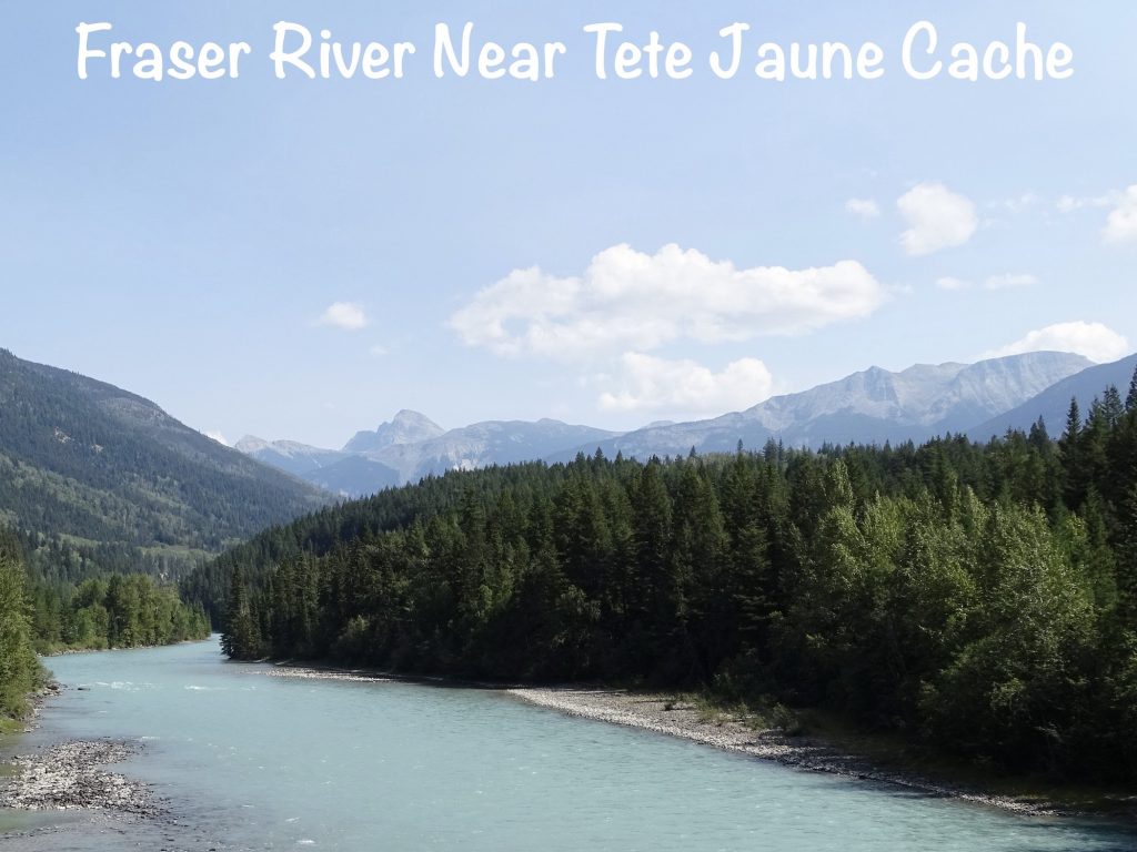
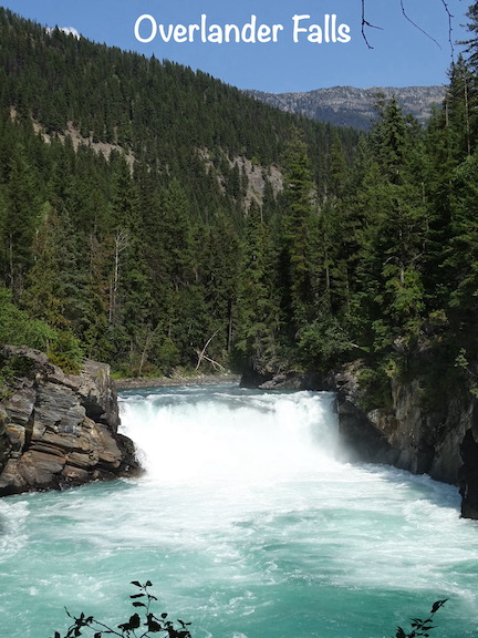
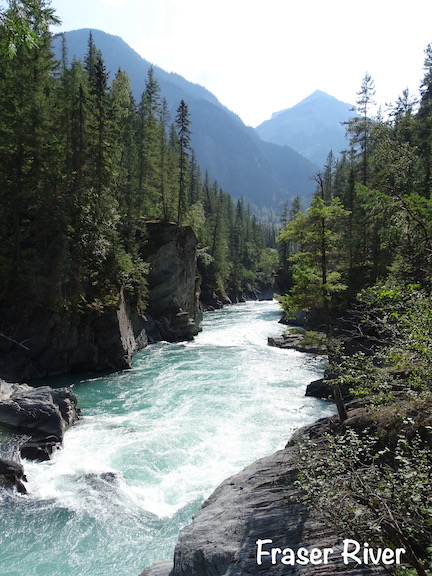
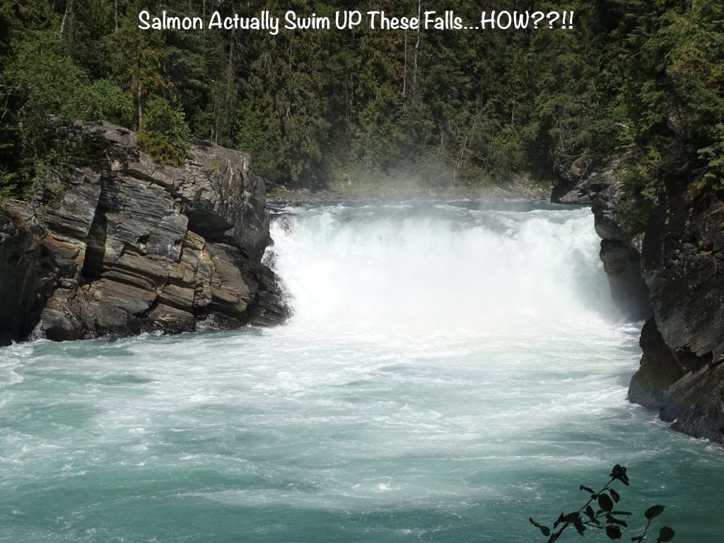
We looked for the path to Overlander Falls, going the wrong direction first. When we found the correct one, it was a nice, 1/2 hour walk mostly downhill. You know what that means! It was a gorgeous day for it, though, and the view at the bottom was amazing. The falls are named for a group of 175 men and one woman who chose a different route to the British Columbia gold fields. At that time the normal trip from Ontario to BC would require taking a ship around South America. In the spring of 1862, led by Thomas McMicking, they set out over land. They passed through the area of the falls in August of that year, and continued to Tete June Cache. There they rested for a bit, then split into two groups. One continued through the North Thompson River Valley to Fort Kamloops, and the other took the Fraser River to Quesnel. Many actually ended up settling in Kamloops or traveling on to the Pacific coast instead of the goldfields of the Cariboo. It was a bold adventure, to be sure, for all involved. I can’t help thinking that the bravest of the group had to have been that one woman.
According to The Canadian Encyclopedia, Catherine O’Hara Shubert came to North America from Ireland at 16 as part of a British program as a domestic servant. As soon as she arrived, she taught herself to read, and within a few years was married to Augustus Schubert. After living in St. Paul in the Minnesota territory for a while, they headed up to the Red River Settlement of Rupert’s Landing, then on to Fort Garry in 1860 with their three young children where they ran a farm and general store in St. Boniface. After losing their farm and home in 1861 to flooding, the Overlanders plan was very appealing to Augustus Schubert, who was determined to seek his fortune. Catherine felt strongly that the whole family should go and was so determined that they suspended the “no women” rule to let her go. She didn’t tell them that she was expecting her fourth child at the time. They traveled on horseback, with the youngest children in saddle baskets and the oldest riding with Augustus. They survived all manner of bad weather, mosquitos, flooded rivers, and icy rivers. At times they were forced to crawl along narrow mountain passes where horses fell to their death, carrying their children strapped to their backs. After the rest at Tete June Cache, Catherine and family were in the Thomson River group. Less than two weeks into the 6-week journey to Kamloops, little Rose Schubert made her appearance with the help of Shuswap natives. In his journal, Thomas McMicking praised Catherine’s courage and determination. They finally ended up in Lillooet, where they added two more children to the family. Catherine ran an inn and restaurant, taught local children, and practiced midwifery, while Augustus spent summers prospecting for gold in Quesnel. Together they moved one more time to the Okanagan Valley. It was there where, in 1908, Augustus fell from a ladder and died. Catherine sold the farm and moved to Armstrong, British Columbia, where she lived for another 10 years. There is a memorial in Armstrong to Catherine that calls her “A Brave and Notable Pioneer”. In Kamloops, BC, there is another memorial with Augustus, Catherine, and one of their children, and Schubert Drive there is named for them, too. Finally, the senior center in Vernon, BC, is called the Schubert Centre. Bet she had no idea what her story would inspire.
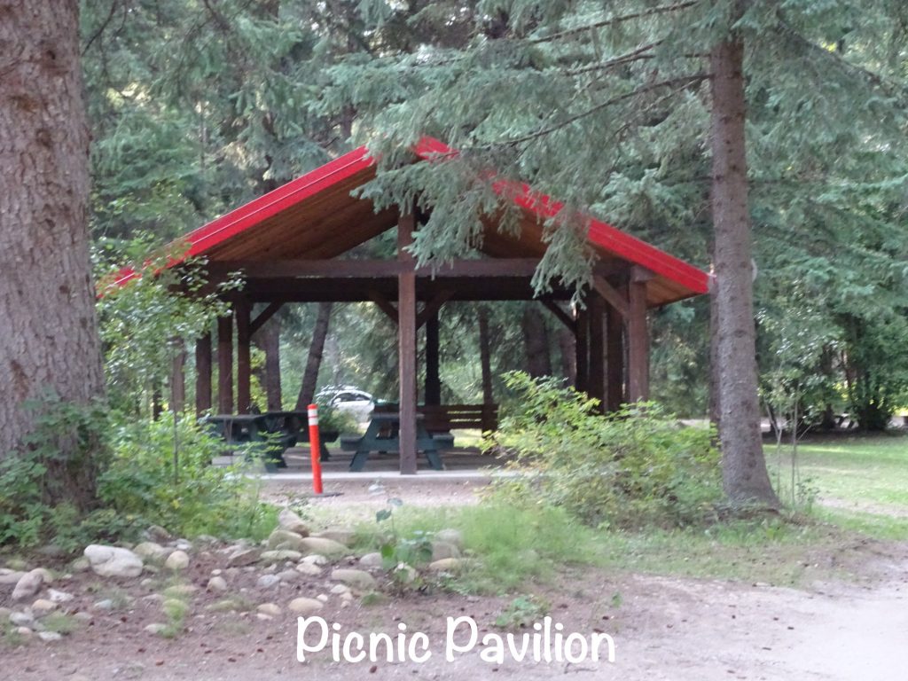
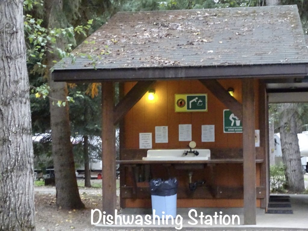
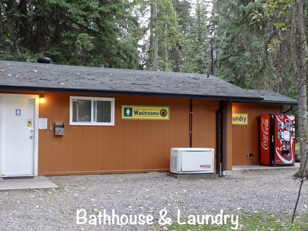
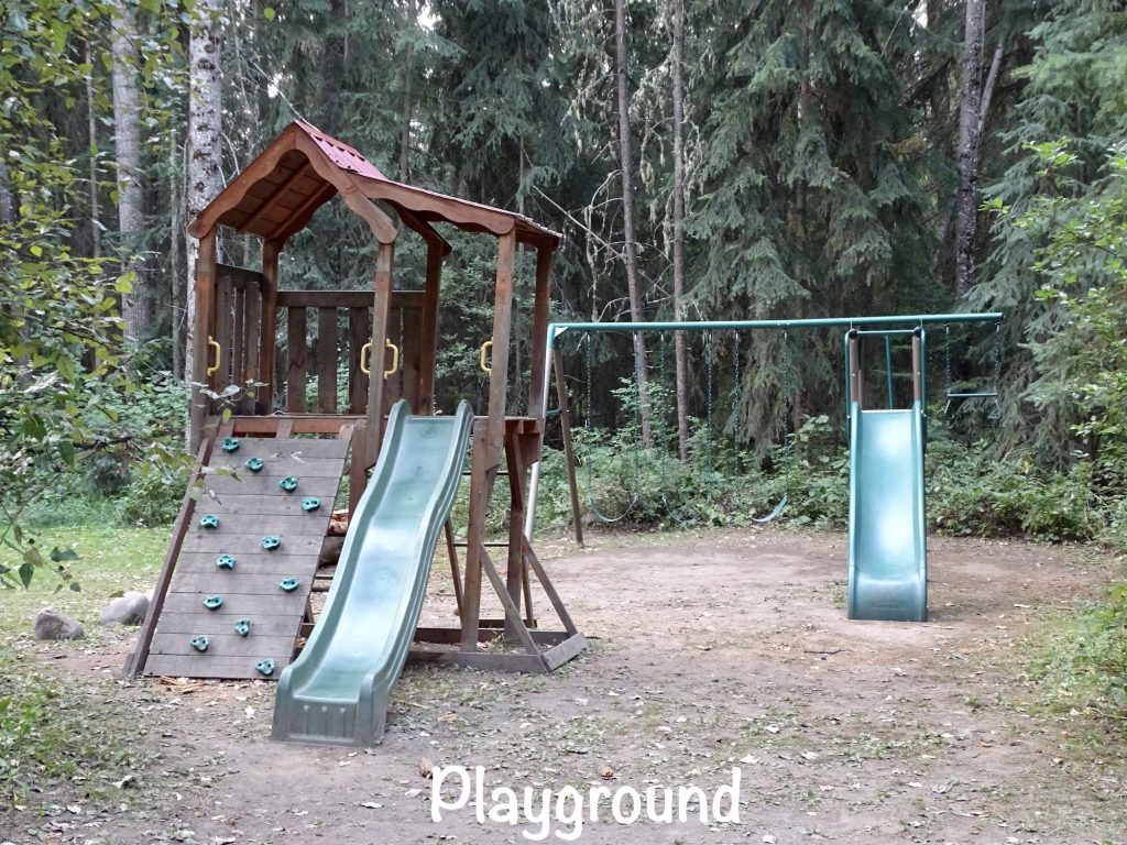
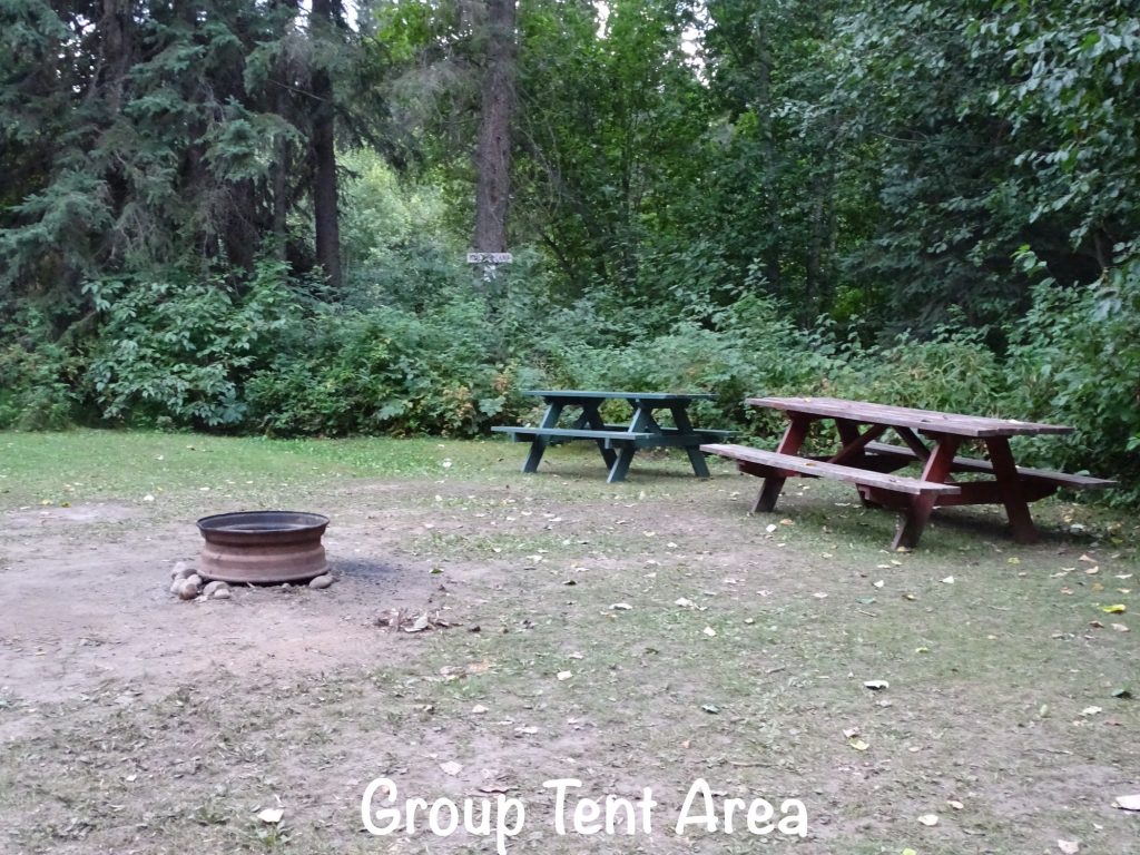
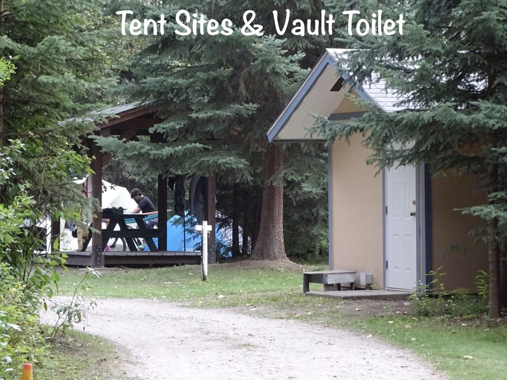
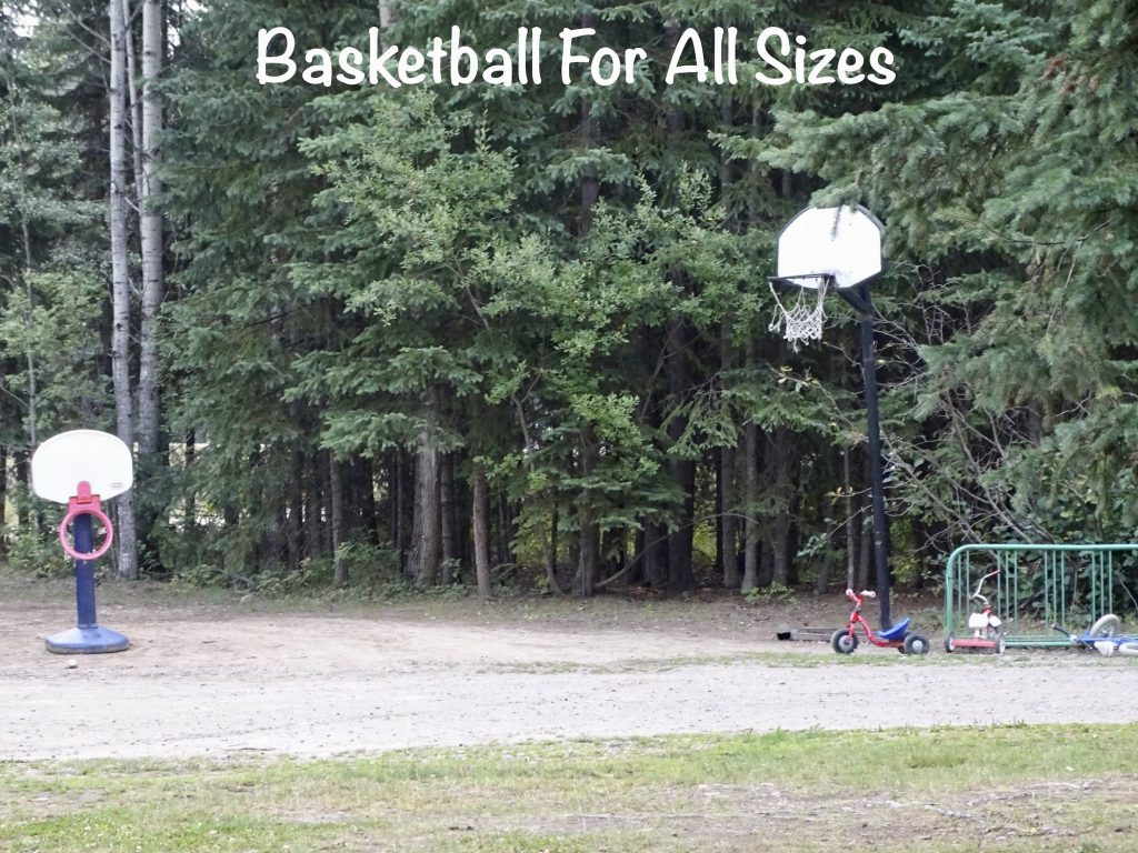
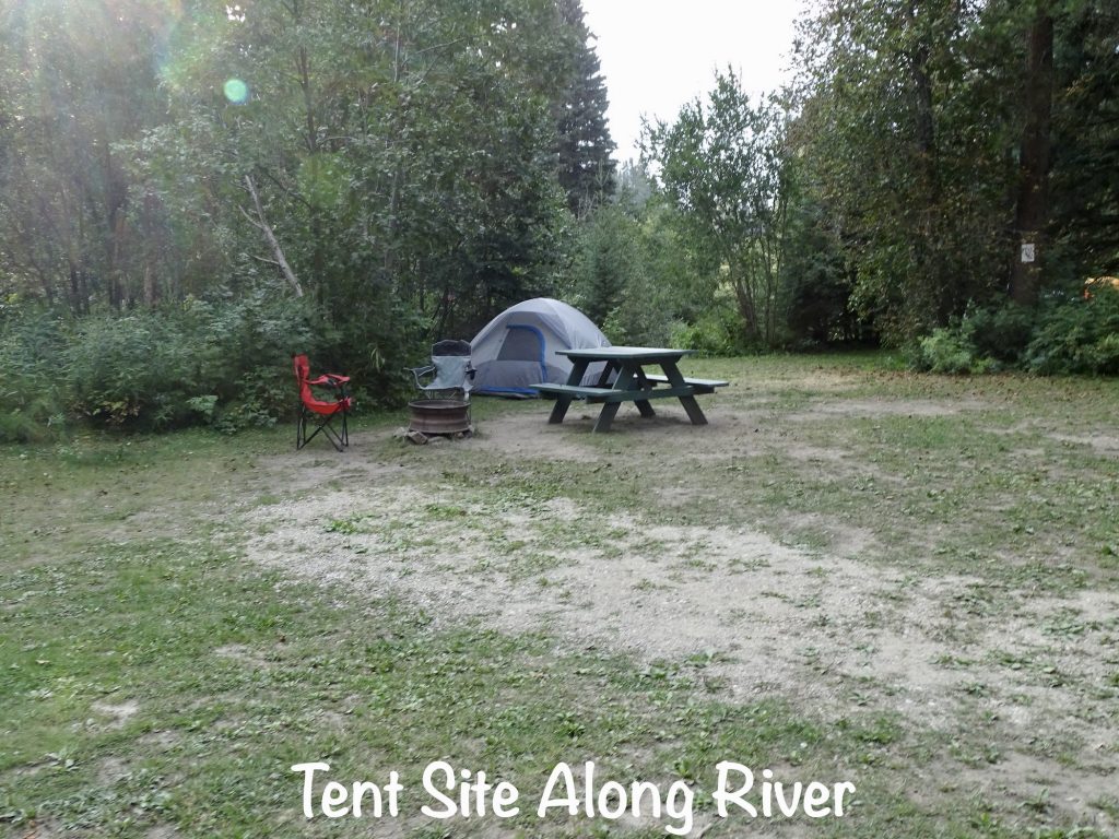
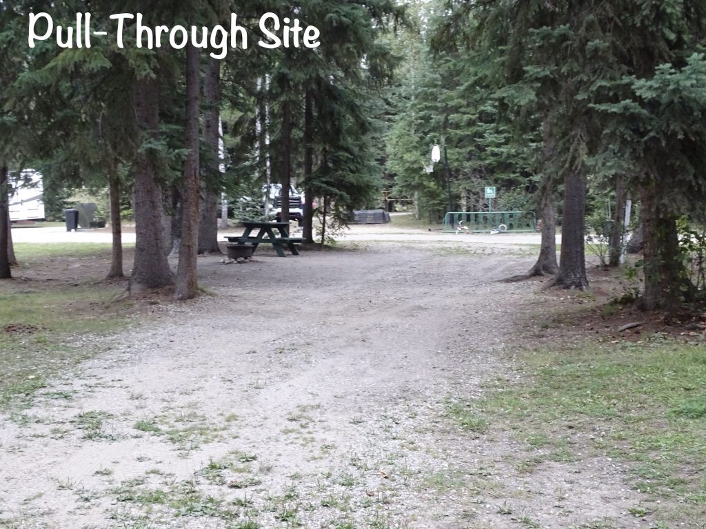
Yellowhead Campground is a seasonal facility that was pretty darned good. On Yellowhead Highway within walking distance of downtown Valemount, British Columbia, it is spread out among the trees on 30 acres adjacent to Swift Creek. Amenities include an office/store, bathhouse, laundry, covered pavilion, playground, dishwashing station, firewood for sale, and a dump station. There are pull-through, back-in, group, and tent sites with picnic tables and fire pits. Forty-four have 30-amp power and water. Most appeared to be fairly level, and some can accommodate larger rigs. The twenty-eight single and three group tent sites are primitive. Their website mentions free wifi, but we did not notice or use it if it was there. Cell signals were moderate for Verizon and AT&T. There was a bit of road noise, but it all quieted down at night. They also appeared to ride through near the beginning of quiet hours at night, because twice noisy groups stopped just after the ATV rode past. The best sites in this park are the tent sites by far, but the RV sites aren’t bad. We would stay again. For this stay in August 2023 we paid $124.69 for 4 nights.
Well that is another chunk of time gone in our trek back to the lower 48. Next up…LOTS of SMOKE, Water Issues, and who knows what else!? See you on the path!!
Talisa
P. S. Thank you so much for reading! Use the buttons at the top right or bottom to be notified of new posts, and please SHARE, SHARE, SHARE on social media!
Leave a Reply