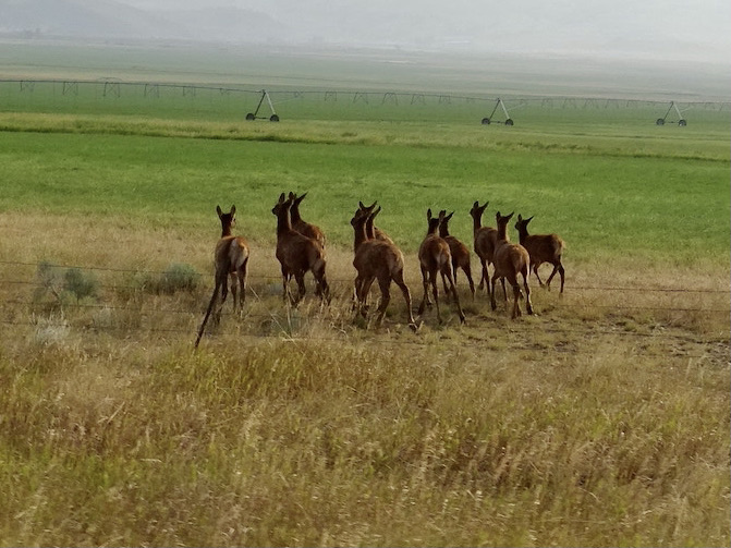
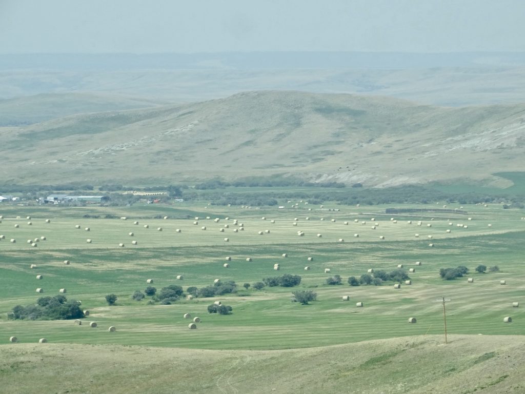
On Thursday, August 5, we were on the road about 8AM, headed northwest out of Helena on MT-279. Long-distance visibility was still terrible due to various wildfires, but the drive was still beautiful. Just after leaving town, we were in a large, open valley with lots of houses. We caught sight of our first animals of the day just a little ways out of Helena…a herd of ten female elk. They were contemplating jumping the fence to cross the road, but turned tail when we got too close. Before long, we began climbing into the Rockies. There were places where beetles/fire had killed off the pines here, too. We crossed to the west side of the Continental Divide at Flesher Pass at 6,138 feet. After turning north on MT-200, we crossed back to the eastern side at Rogers Pass 30 minutes later at 5,610 feet. As we descended, the steep mountains gave way to the wide, open valleys, and we passed a sign telling us we were in “Prime Beef Country”. With thousands of acres of grassland surrounding us, like the old Wendy’s commercial, I was wondering “where’s the beef?” It was quite a ways before we finally started to pass some relatively small clusters of cows. I wonder what the acre per cow formula is out here? We passed several sites that had barbed wire fencing out in the middle of fields, and it took MW a while to realize they were ICBM (Intercontinental Ballistic Missile) sites. The ones in Montana, according to the National Park Service, are still active. (You may recall from a prior trip that we toured a defunct launch facility in North Dakota.) At Fairfield, we made a gas stop, then turned north onto US-89 and stopped again to take a look at Freezeout Lake. We stopped for lunch at the Log Cabin Cafe in Choteau, Montana. The special was an Italian sandwich on focaccia, so we both went with that. (If you read many of my posts, you know that is one of my favorites.) They also had rosemary fries and awesome desserts. We ended up taking home half of the sandwich each and dessert. (I’ll get back to good eating tomorrow. Honest!)

The Are Run-Ning! 
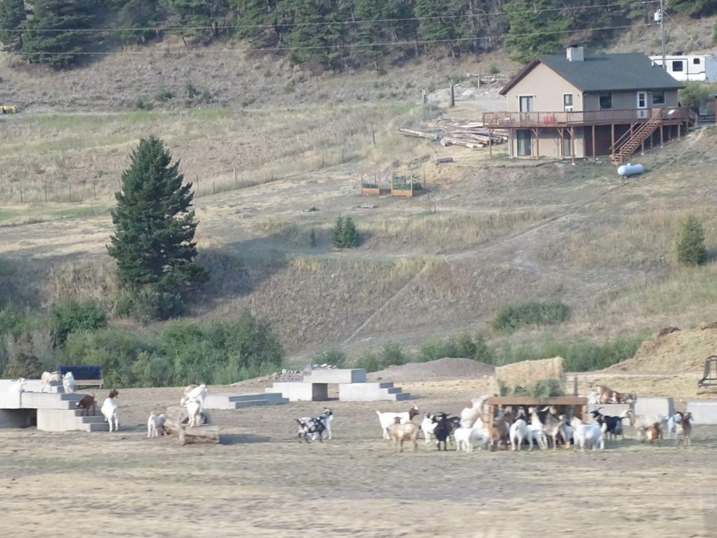
Lots of Goats – Some Climbing

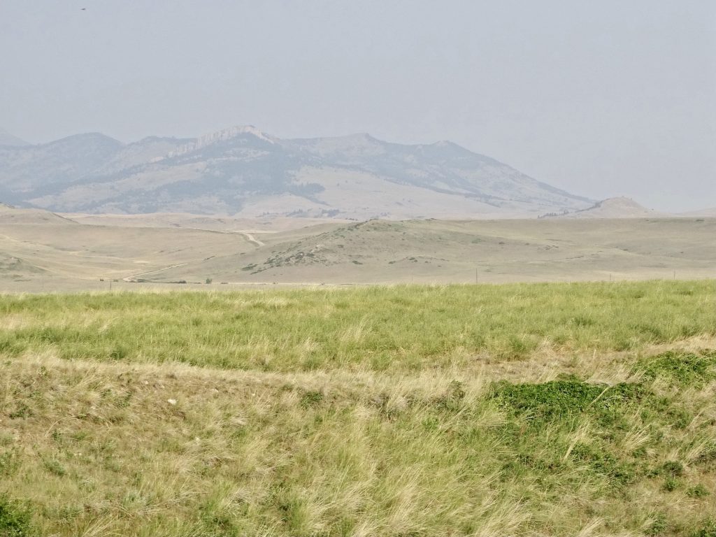
Fifteen Minutes Beyond Rogers Pass 
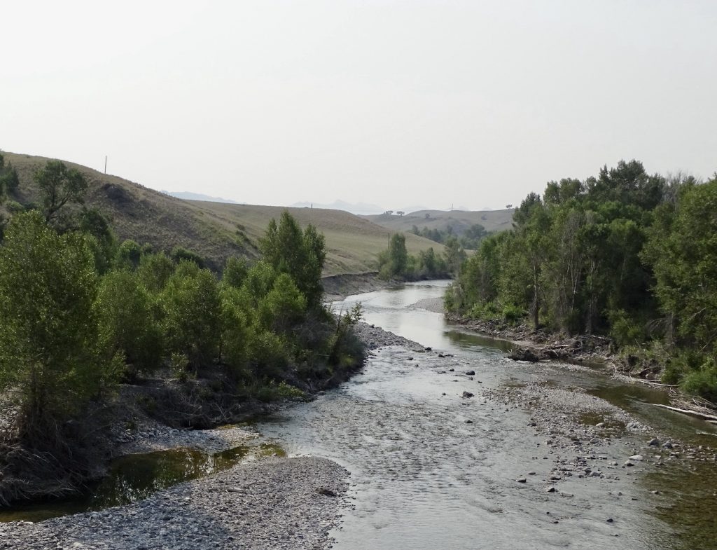
Dearborn River

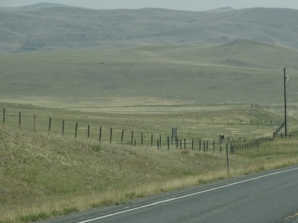
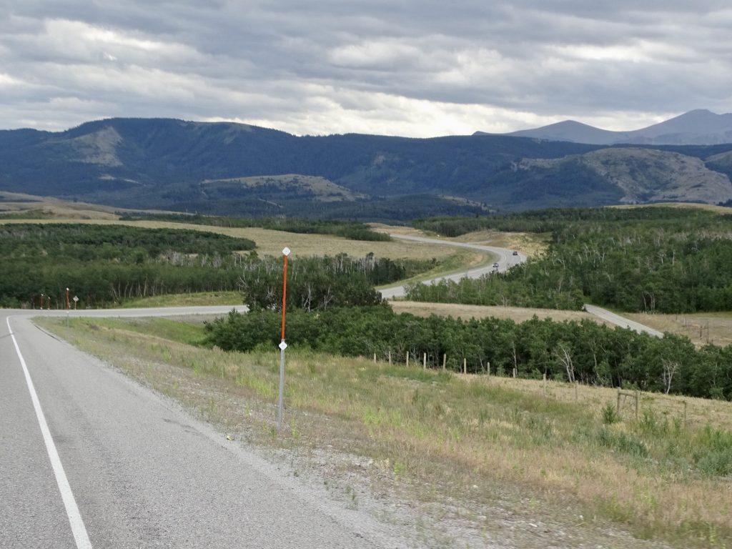
Prime Beef Country – No Cows! 
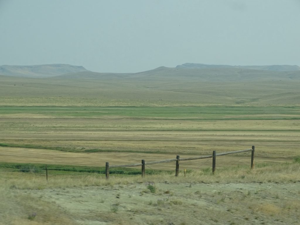
Still No Cows.

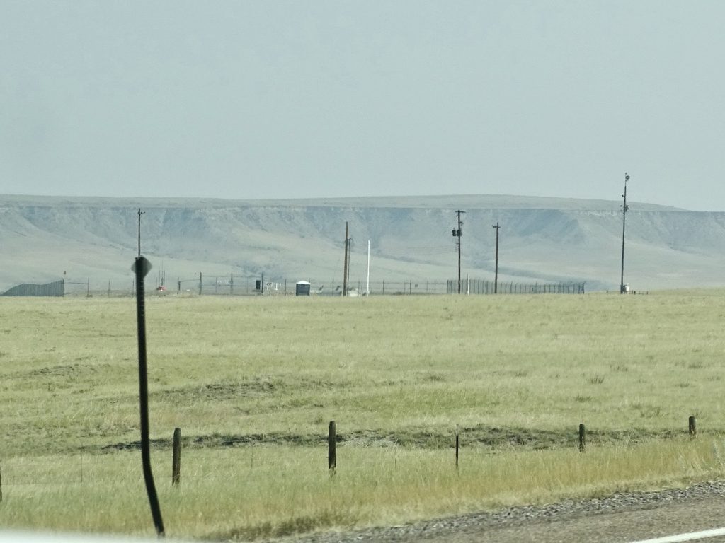
ICBM Site 
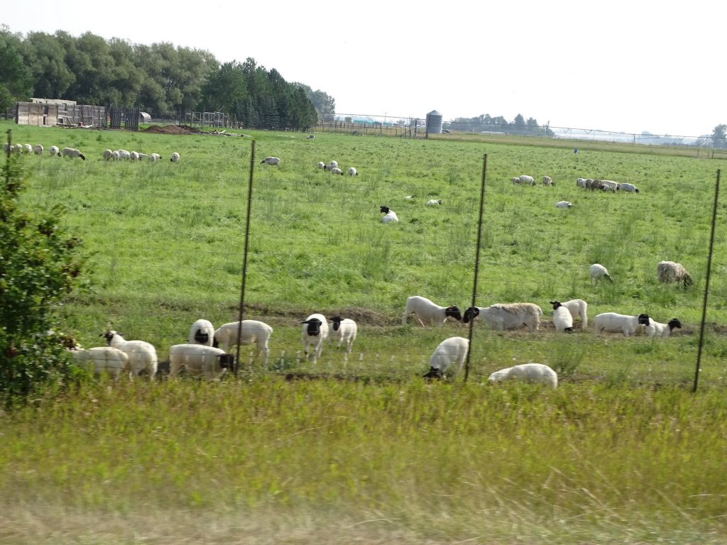
Black-Faced Sheep

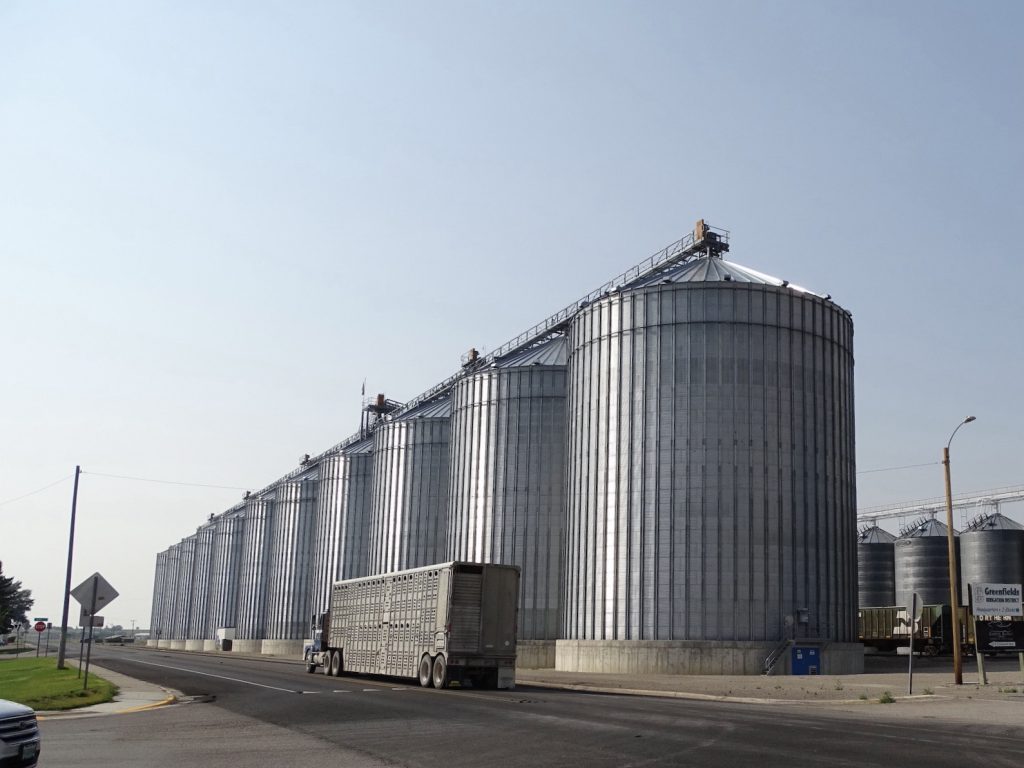
Fairfield, Montana 
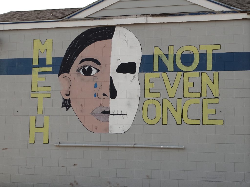
The Scourge is Everywhere!

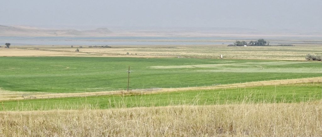
Freezeout Lake


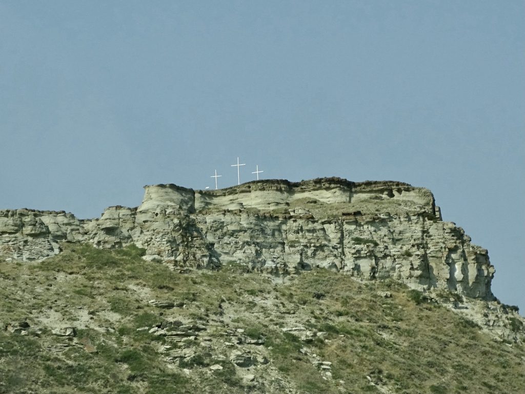
A Little Surprise on Top

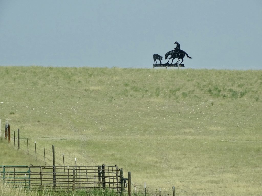
Just Ropin’ on a Hilltop 
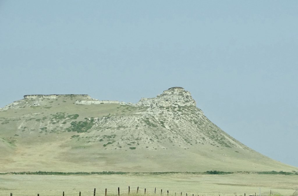
Coming in to Choteau

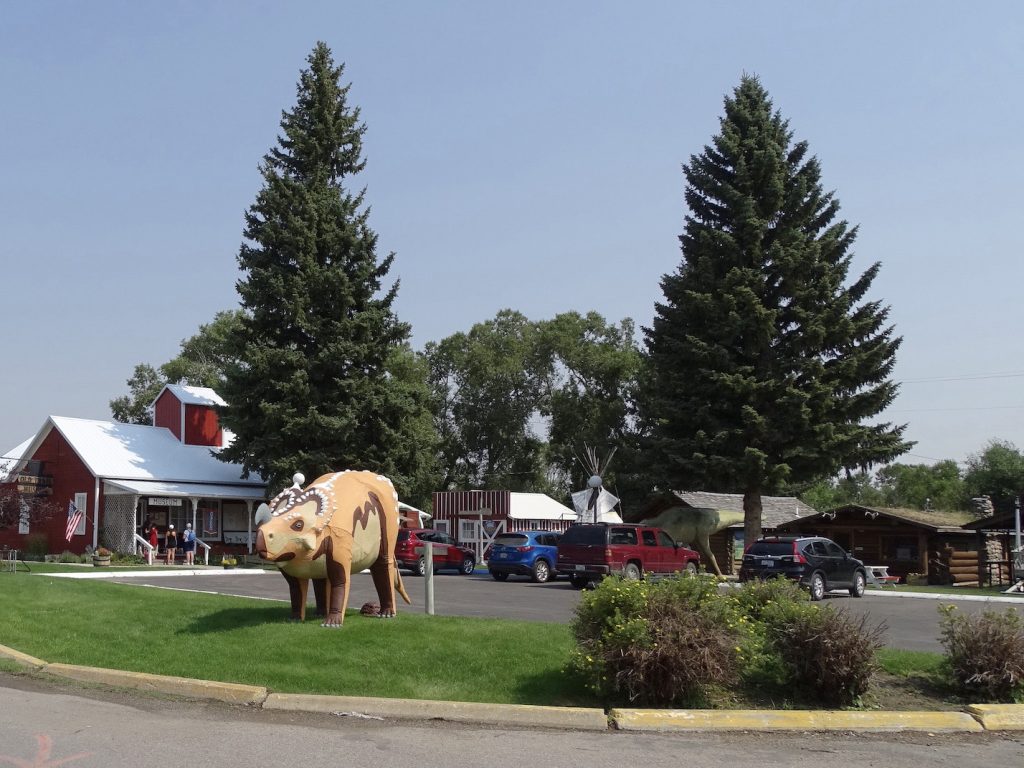
Choteau, Montana
SIDE NOTE: We’ve noticed this everywhere, but particularly here where the mountains are so tall and steep…what makes cows climb all the way to the top of a hill? You will often see little paths that they have worn to get up there. It isn’t because there is no grass lower, because you will see it on mountains above huge, open ranges. In this case there was grass just around the curve down low. They are curious creatures, but I love them!

Look Straight Up From the Curve Sign – See the Black Dot? It’s a Cow.
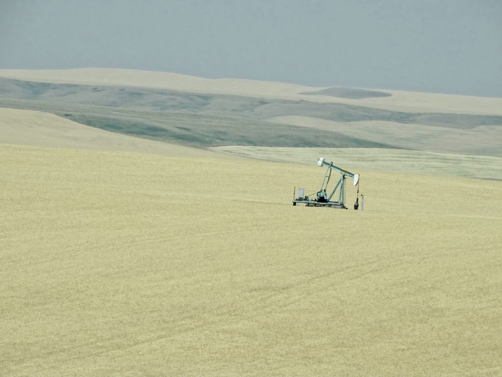
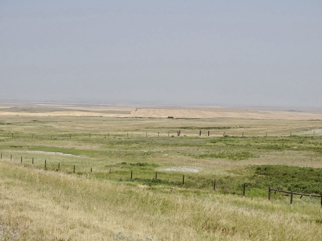
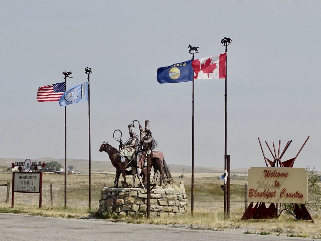
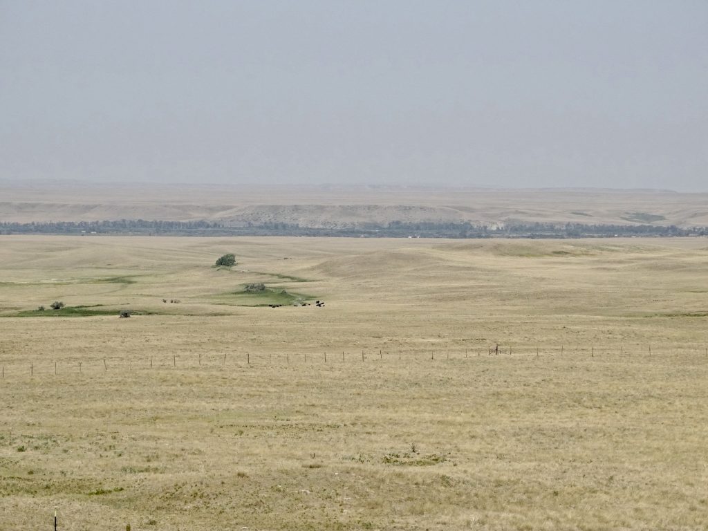
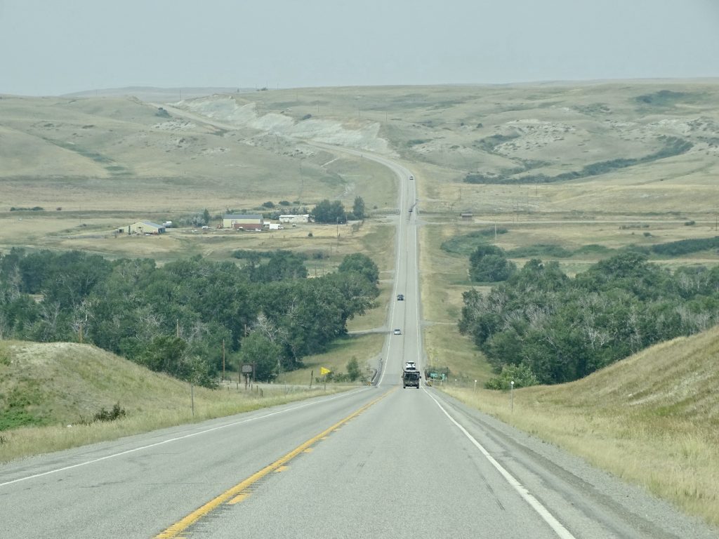
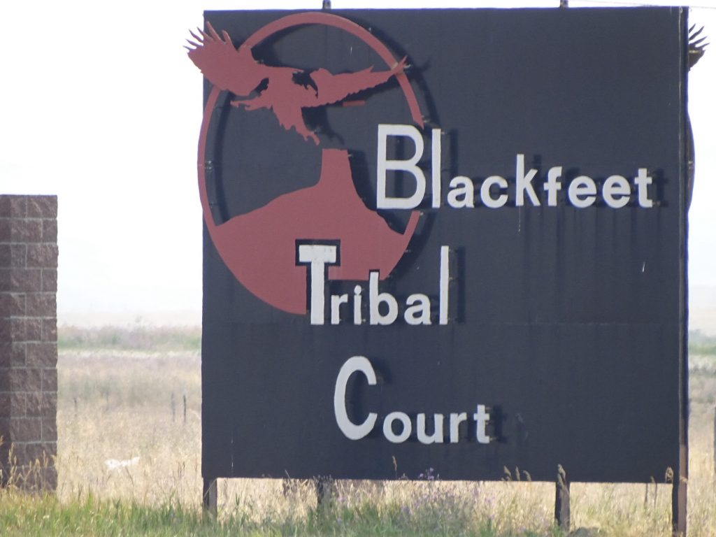
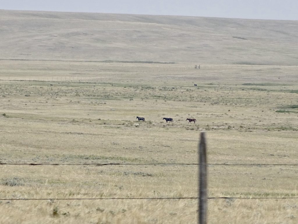
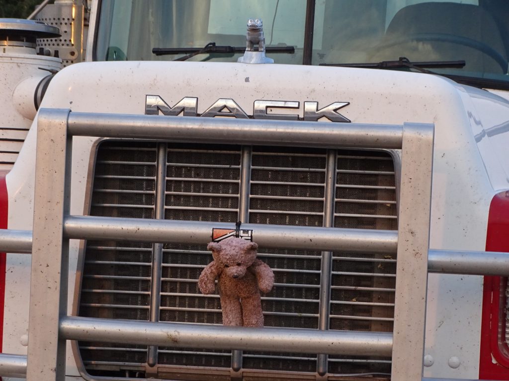
Continuing north out of Choteau, we saw a cowboy riding the fence. Well, that’s what we thought he was doing. What he was actually doing is sitting on a moving horse while looking at his cell phone. There has got to be some rule about that! The land really flattened out for a while, and despite the ever-present smoke, you could still see a good ways. We saw a few oil pumps around, but only for a little ways. Then, south of Dupuyer, we saw something strange in the middle of nowhere…a chain link fence with lots of teddy bears hung in it. I wasn’t fast enough to get a pic, but MW did find it on Roadside America. Like the guy there said…awesome AND creepy! North of Dupuyer, we crossing into the Blackfeet Indian Reservation, where we will be staying for the next several nights. We turned west on US-2, then at Browning, stopped for gas. MW said that in his route exploration, he saw a review where someone said “Browning looks like a town that just doesn’t care.” That appears to be true, at least in the parts we saw. They have a medium-sized casino and hotel that look beautiful, but everywhere else it is just run down and in disrepair. We headed out of town on MT-464 and finally made it to the Chewing Black Bones Campground and Recreation Area.

A Lonely Oil Pump 
It Really is Hard to Show the Distance

Entering the Reservation

Wide Open Country on the Res 
Heading to Browning

In Browning 
A Horse Train

It Goes On Forever
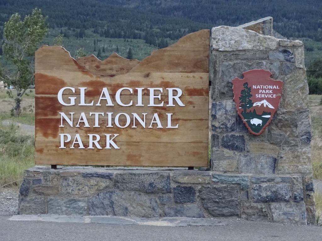
Our arrival was a little drawn out, but I’ll tell you about that later. When we finally got everything set up, we decided to head over to St. Mary to pick up information from the Glacier National Park Visitor’s Center, which is just inside the park gates. I flashed my America the Beautiful Pass at the guy who stopped us short and was told that we were welcome to go to the Visitor’s Center, but we would have to park outside the gate and walk in. The park has instituted a reservation system to drive Going to the Sun Road, which is the main route through, and they didn’t want us sneaking through the parking lot and taking the road without a reservation. Ridiculous! The system was designed to help with traffic through the park, BUT when you make a reservation, it is good for 7 days. You read that right…SEVEN DAYS! Now how can you control traffic when you are handing out “x” number of passes that are good for any time over the course of a week???? The answer is, you can’t, and the bureaucrats who came up with this idea are definitely not Vulcans! If you check it out online, you’ll see that traffic is just as bad now as it was before the new system. We didn’t have a reservation, but you can enter the park before 6 AM or after 5 PM without one, so early morning was our plan. After turning around and seeing how far back we’d have to walk, we opted out. Thankfully, when I was in Yellowstone with Tina last week, I picked up a Glacier guide, so we had the map. We rode through St. Mary to see what was there before turning north and driving up to Babb to check that out and get gas. As we were coming into the tiny town, there was an intriguing, hand painted sign and an easy-up tent by the road…”Eggrolls Lemonade” (honestly there was something else on the sign, but those two grabbed our attention). Wow, that’s unexpected in Montana. We had to stop, of course. Turns out the guy does this occasionally for extra money, and apparently has a bunch of local regulars. People kept showing up the entire time we were waiting, and he knew most of them by name. He did an Asian egg roll and a Tex-Mex version. We both opted for the former, and MW (Mr. Wonderful) also had some fresh squeezed lemonade. We had them later for dinner. They were just a tiny bit greasy, but delicious, nonetheless. The rest of the evening was spent watching a movie and sitting outside enjoying the cool breeze. Our site faced a grove of aspens, and they sound so beautiful when the wind blows through the leaves.
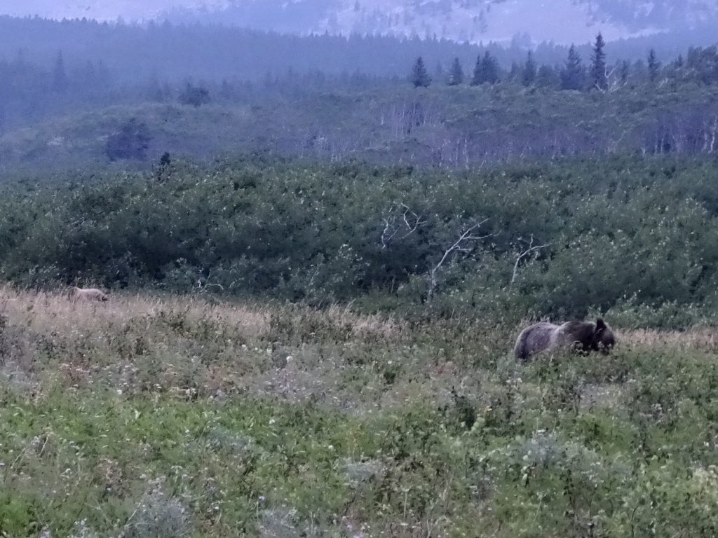
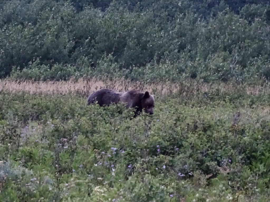
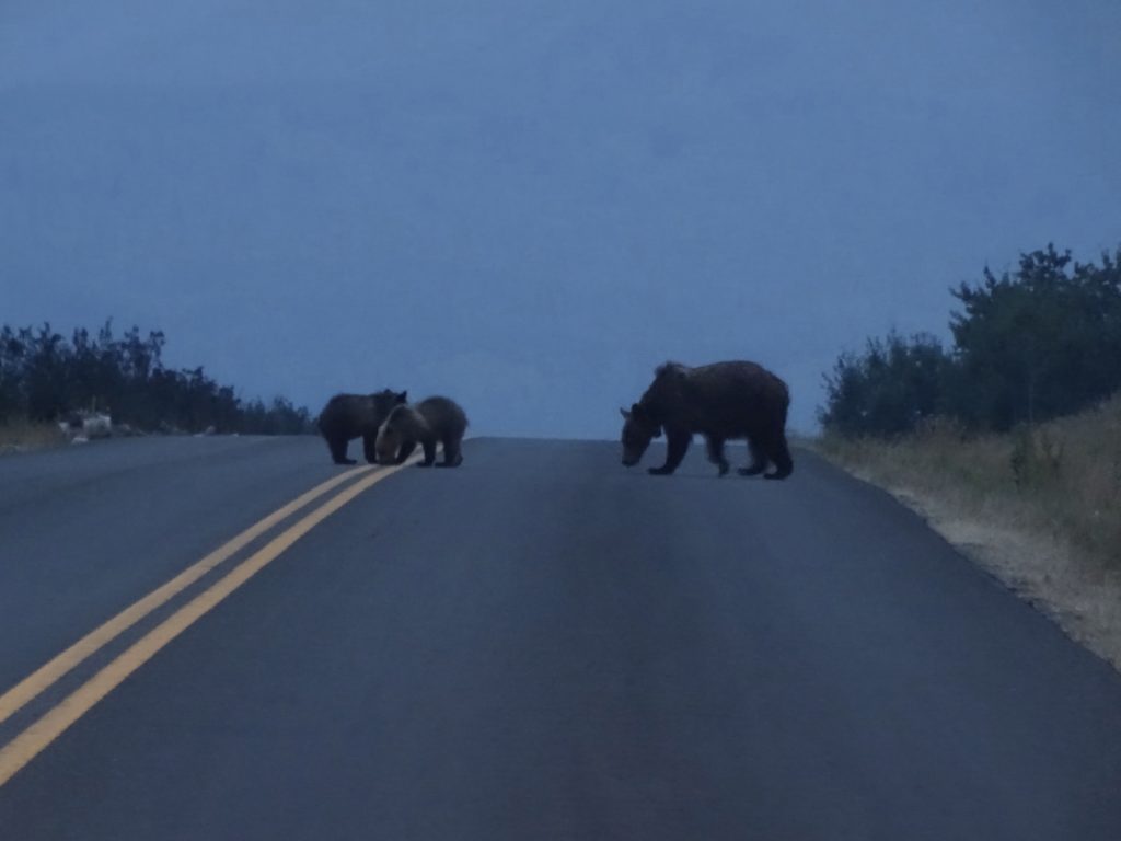
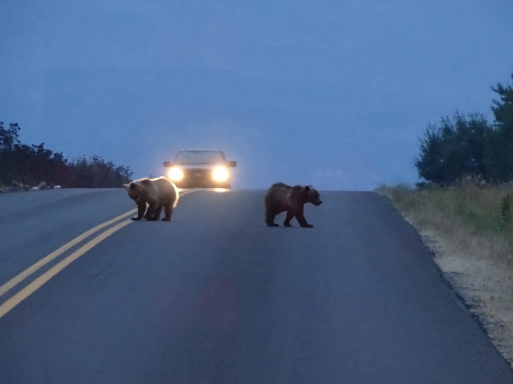
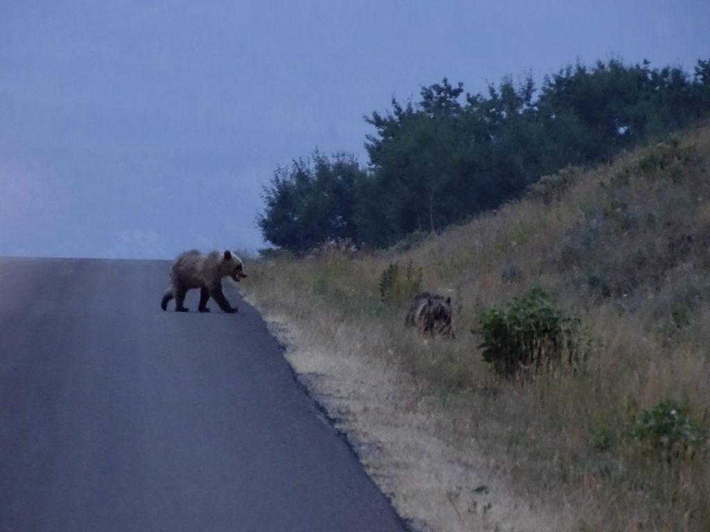
Friday morning found us up and out at 5:15 AM to get into Glacier National Park before the reservation system kicked in. It was still very dark, so we parked in the first pullout we came to and waited for the sun. As soon as it was light enough to see, we started our drive. There were only a few early morning people out, so it didn’t feel crowded at all. We had not gone very far before we came upon a couple of cars stopped and people looking back in our direction. MW stopped so we could figure out what it was, and then we saw them…GRIZZLY BEARS!! One larger and one smaller, maybe a mother and a cub a season or two old. The larger one was about 75 feet away, and both were totally immersed in eating huckleberries. I stood on the running board of Brutus to get good pics and keep a speedy escape route available. LOL. They didn’t even look up. We watched for a few more minutes, fascinated. I’ve seen a bear or two before, but they are usually far off on a hillside and not grizzlies. So exciting! Just a few minutes later, we were shocked to round a bend and see THREE MORE GRIZZLY BEARS in the road about 100′ ahead of us!! This time it was a mama and two cubs. The little ones were sitting on the yellow lines nuzzling each other, and mama seemed to be trying to move them along. She wandered into the field and kept looking back for them. A car topped the hill from the opposite direction, and they both scurried up into the brush with mama. Five grizzlies in one day! Wow!!

Waiting for the Sun

Larger on Right, Smaller on Left 
The Big One

Get Off of the Hard Ground! 
Come on!

Run Little Fella!
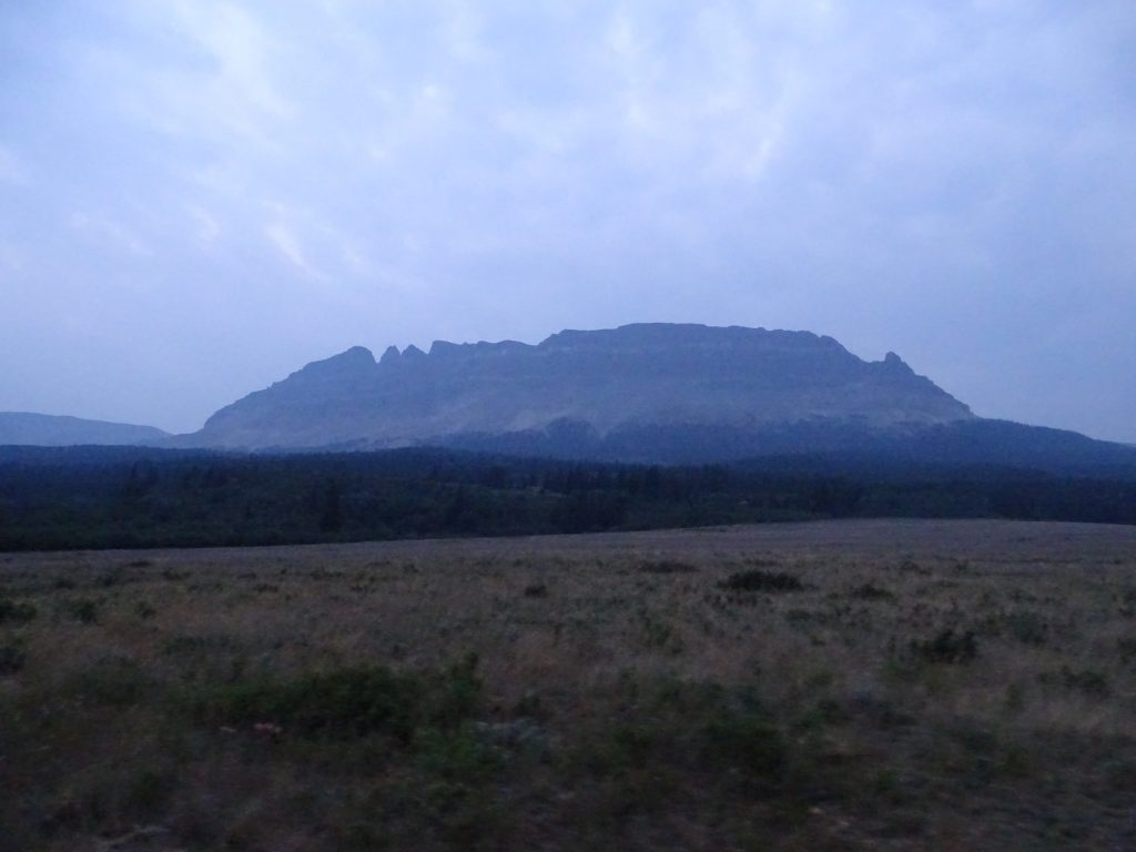
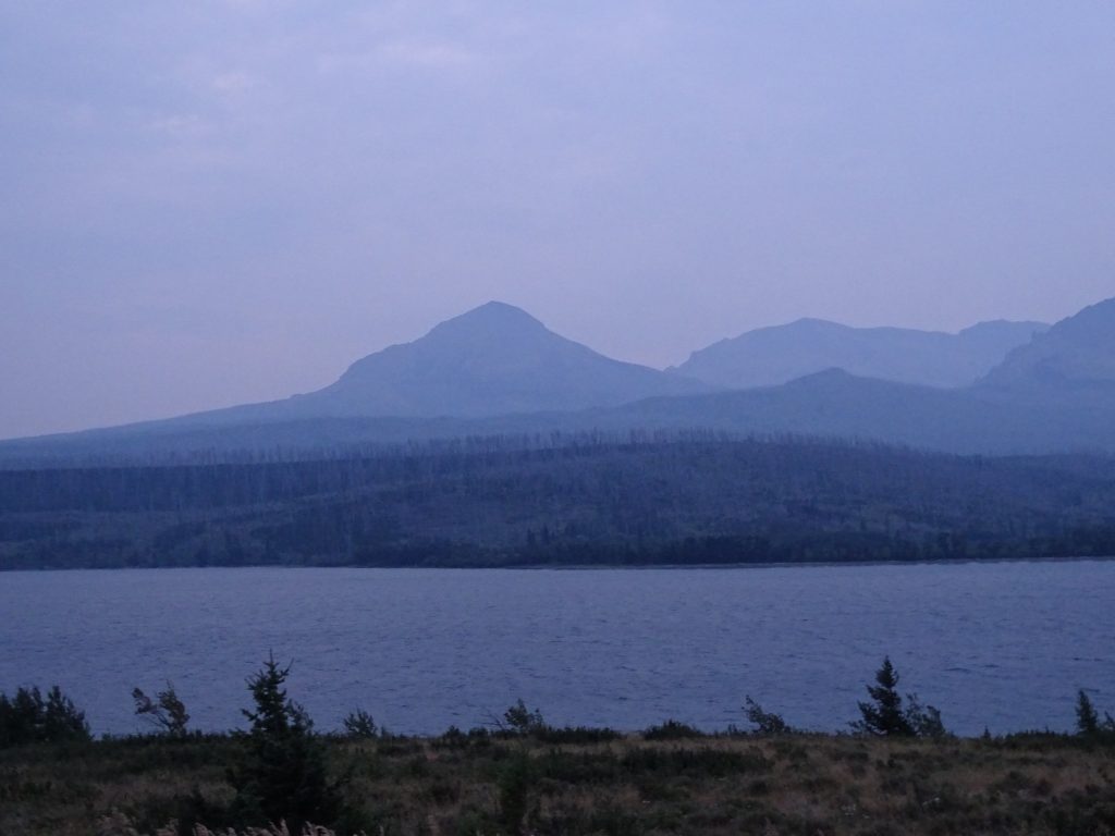
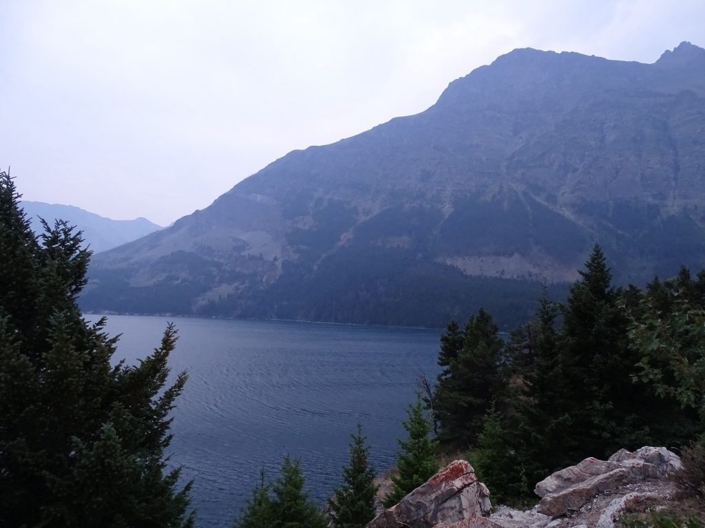
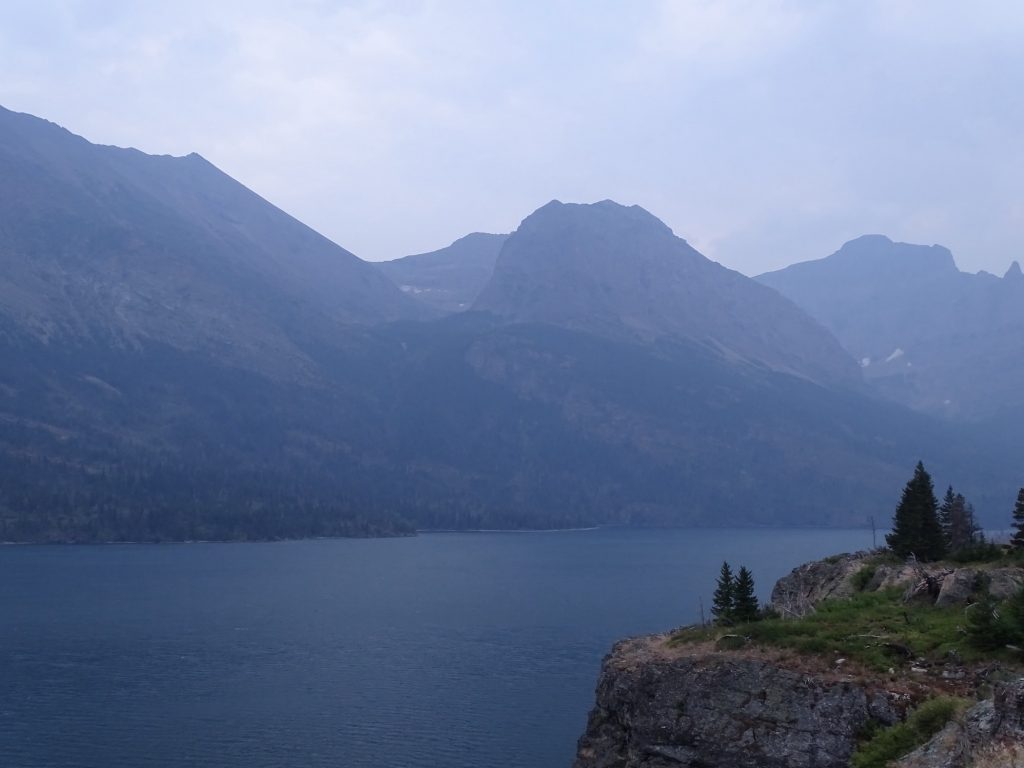
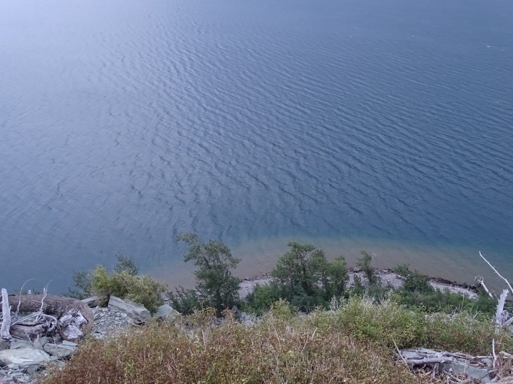
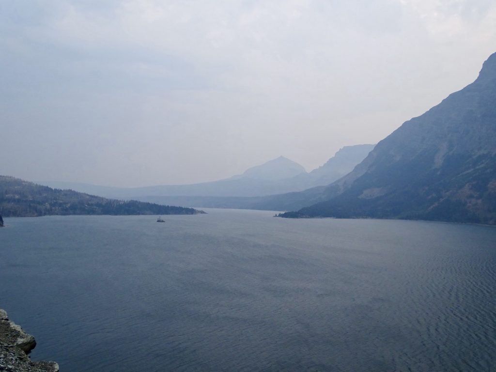
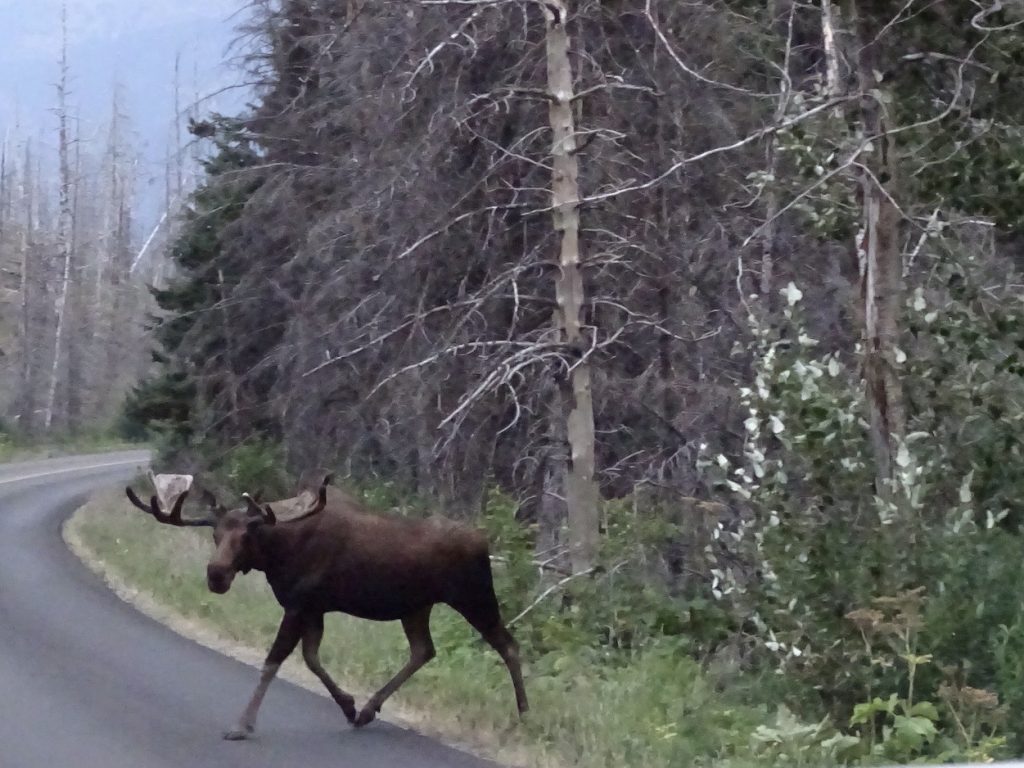
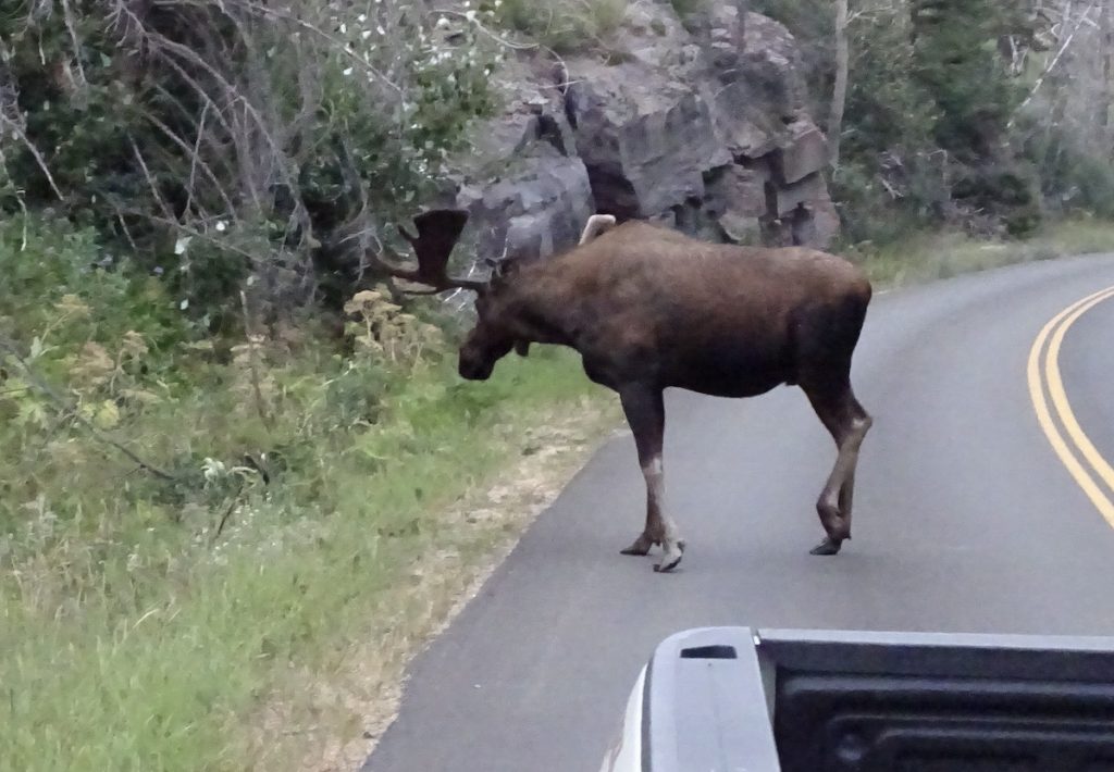
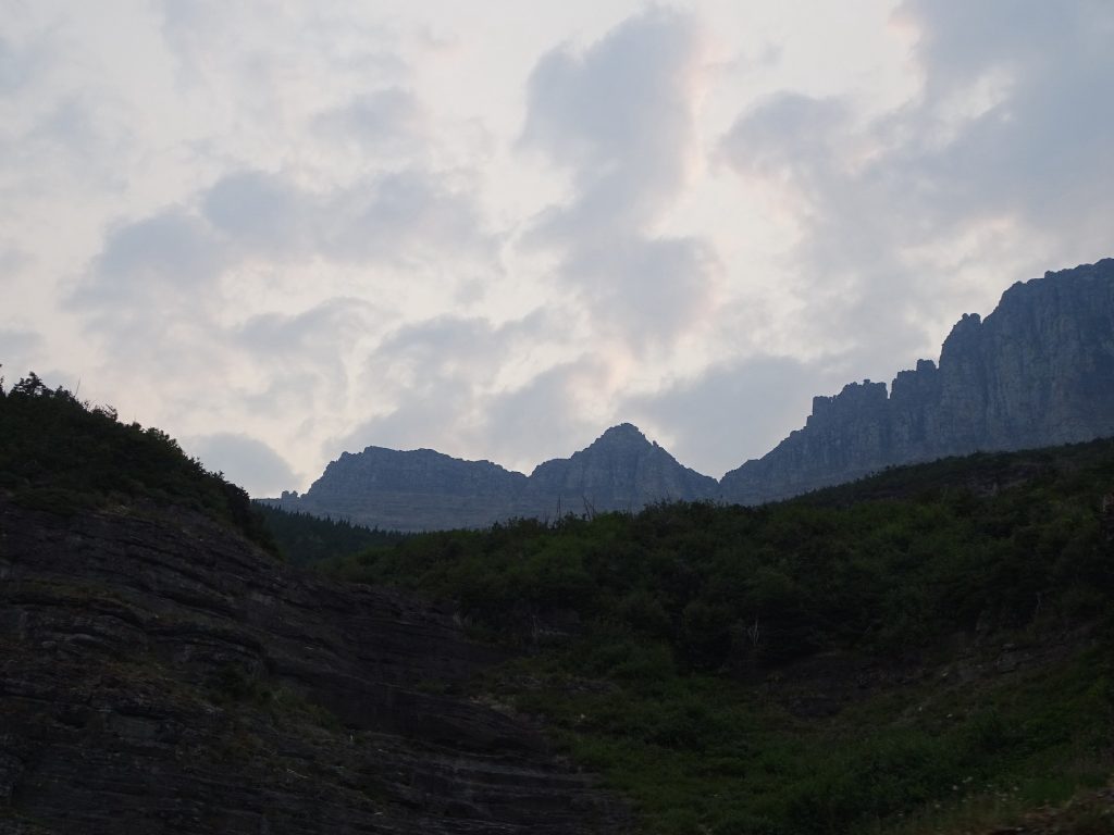
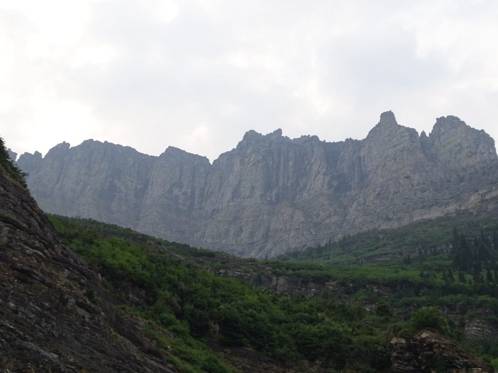
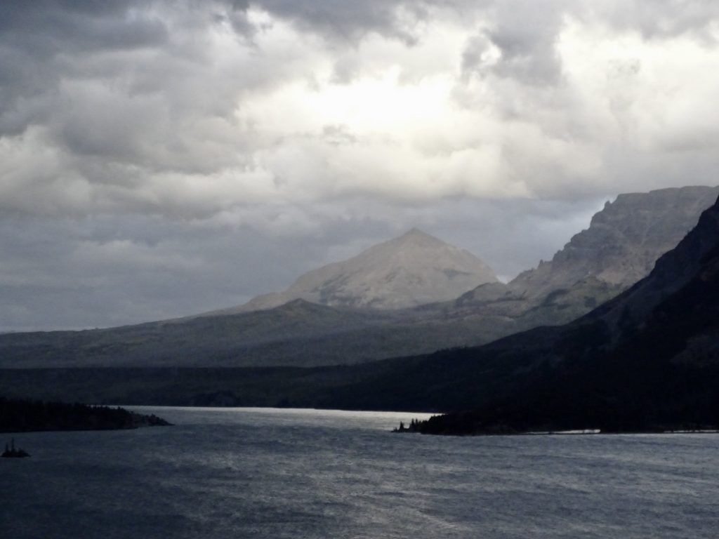
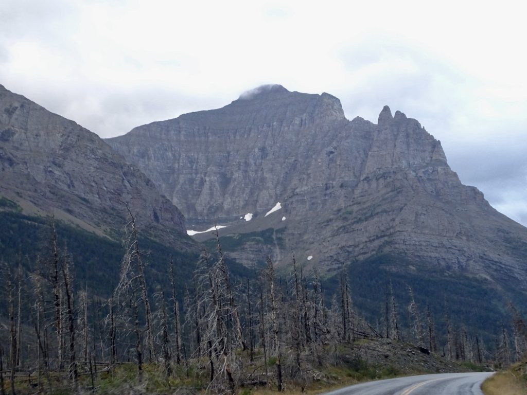
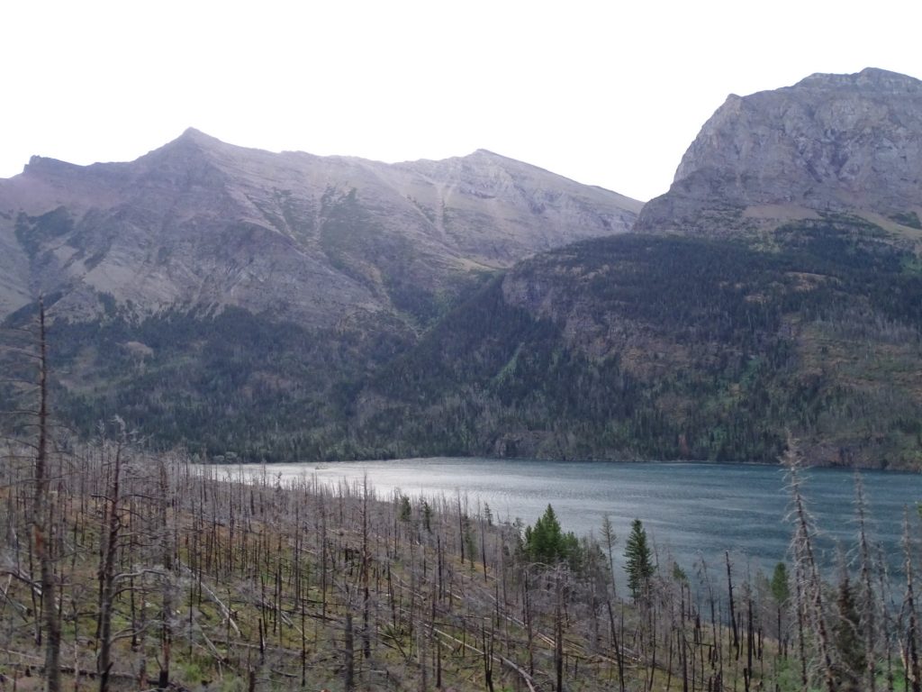
It was getting lighter by the minute, and as we continued the drive, the mountains unfolded around us. Unlike Yellowstone, there aren’t a lot of roads to drive in Glacier. The main route is the Going-to-the-Sun Road, which bisects the park east to west from St. Mary to West Glacier. There are a few other short, paved routes and several dirt roads, but there are over 700 miles of hiking/horseback riding trails. (In winter, the park is open, but access is very limited. Snowmobiles are not allowed, but you can ski and snowshoe.) As we entered from the east, St. Mary Lake was off to the left. It is the width of a wide river and over 9 miles long. The mountains, at first, are across the lake and off in the distance in front of you. As you get further into the park, they rise up like giant guards at the gates of heaven. It is truly beautiful, even through the ever-present smoke filter and the grey of a cloudy morning. Like the Appalachian Mountains, these are very steep and rugged. Unlike them, though, these are mostly rock, MUCH taller, and have glaciers scattered about. The rivers and lakes are very clear down to fifty feet or so, which would make for some awesome scuba diving. About 25 minutes after the bears in the road, we were driving along with the windows down (57 degrees was heavenly!) through woods close in on either side. MW heard crunching around in the woods and caught sight of a nice bull moose. I jumped out onto the running board again just as the big fella came out onto the road behind us about 20′ away. At first he looked towards us, and MW got ready to hit the gas! Bull moose are one of the most dangerous animals in the US during rut, which is in the fall, but we weren’t taking any chances. He wasn’t interested in anything but getting past the rocks, though. He headed away from us down the road, and we continued on our trek.

St. Mary Lake 
St. Mary Lake

Rockier the Higher You Go 
It Really Doesn’t Look That Massive
Until You Look at the Car

First Glaciers…See the White Spots 
A Zoom for You

Looking Down at the Lake…Very Clear Water 
View Back Down the Valley

Well Hello! 
Dang, There are Rocks in My Way
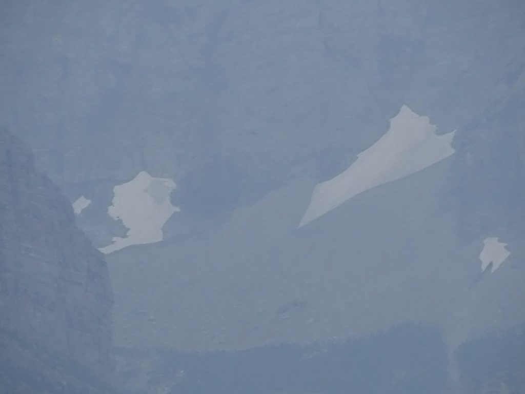
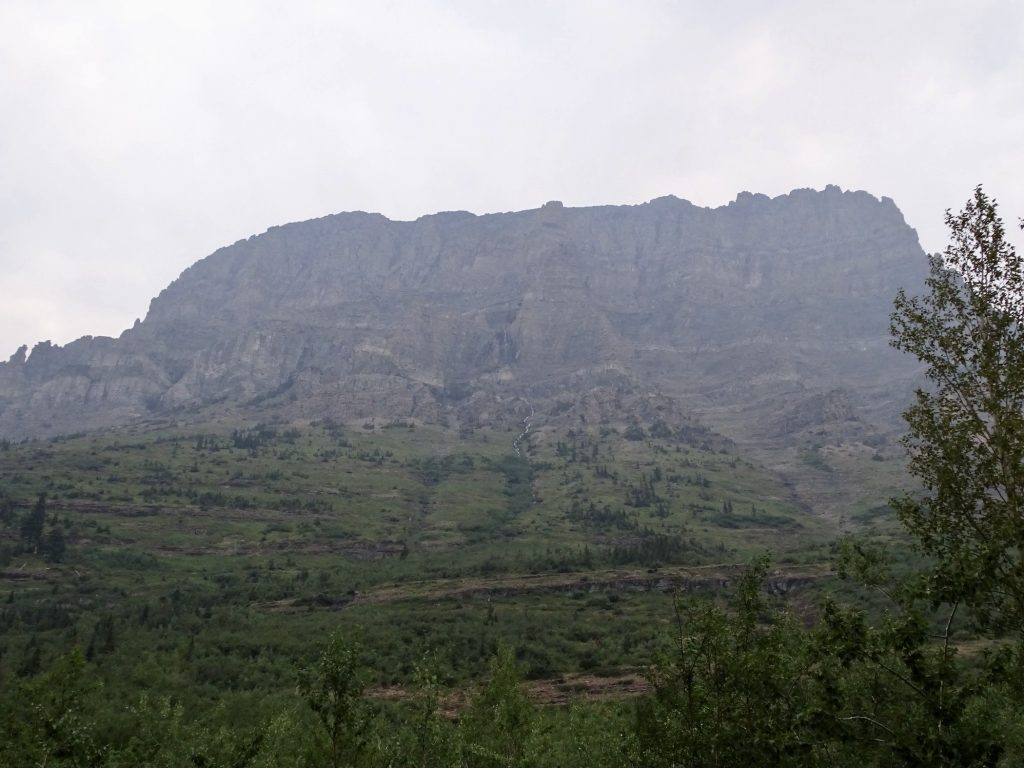
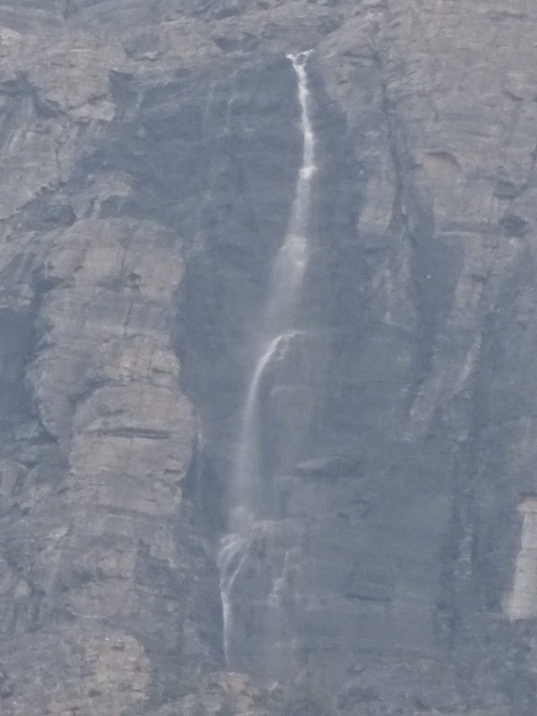
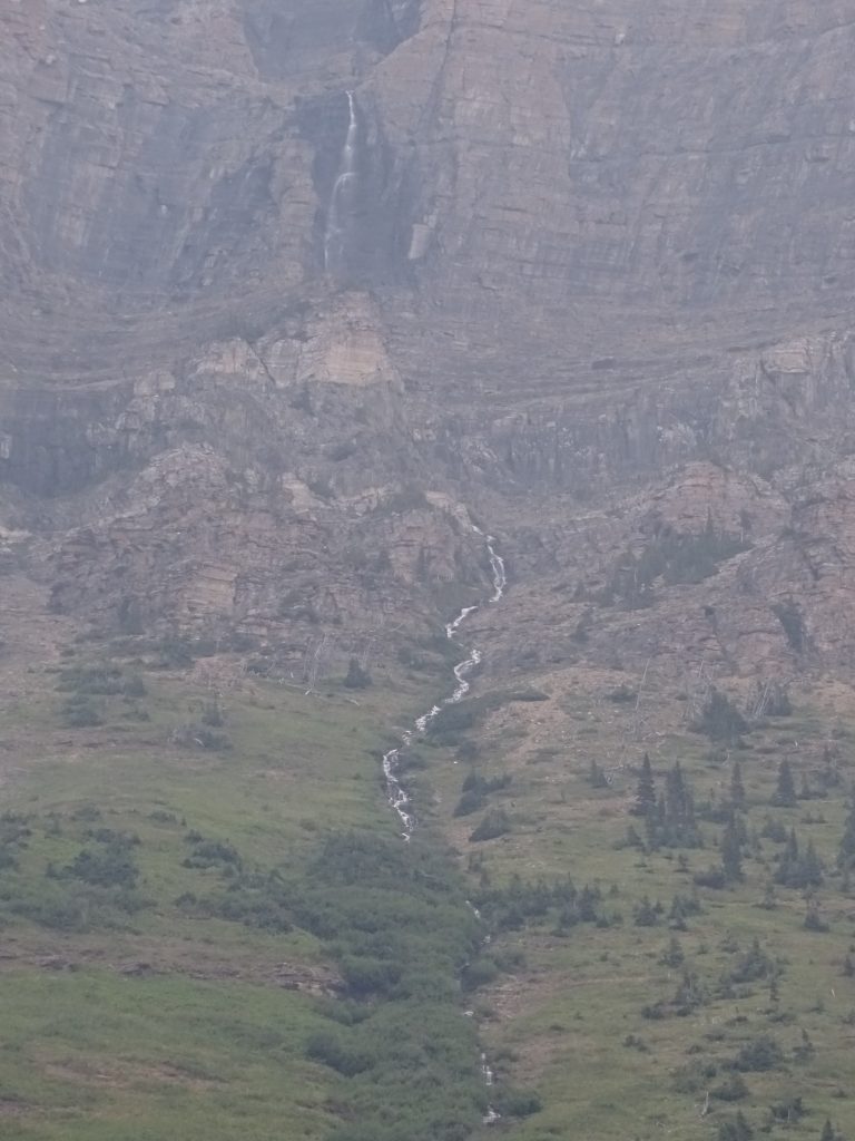
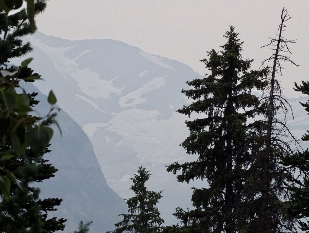
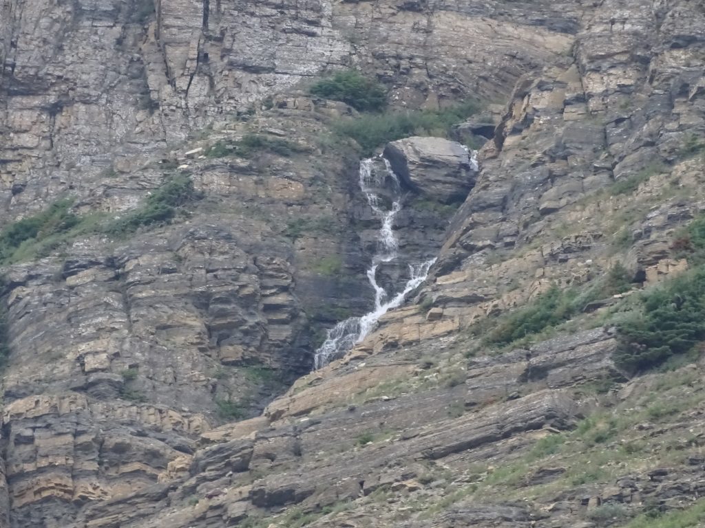
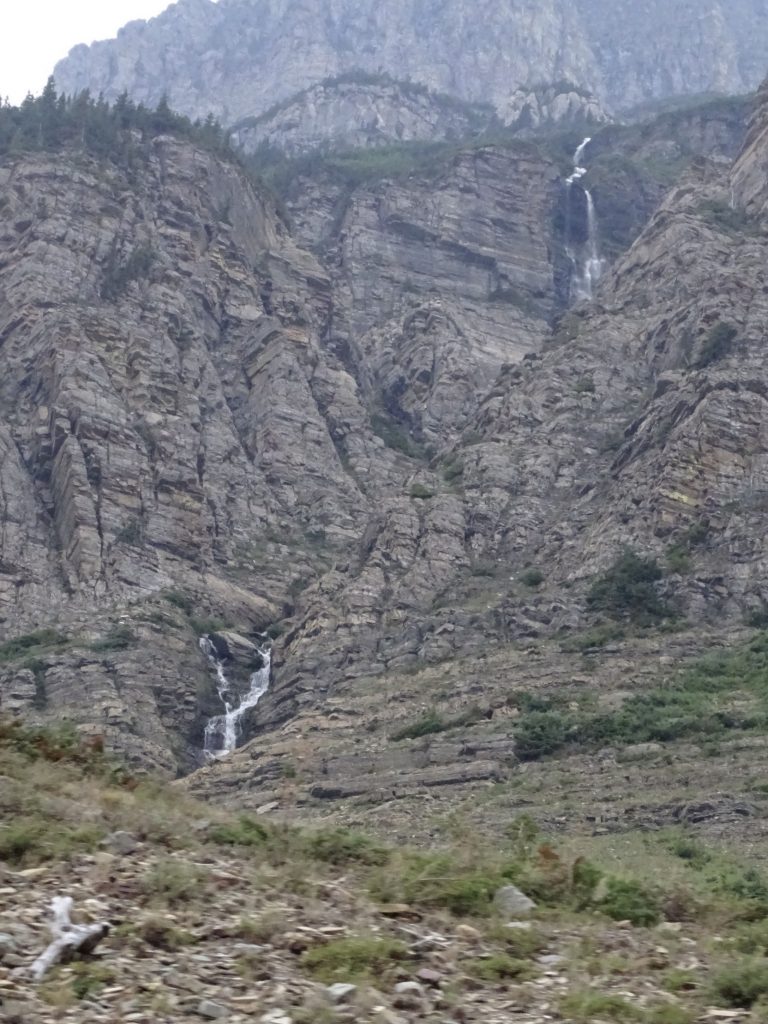
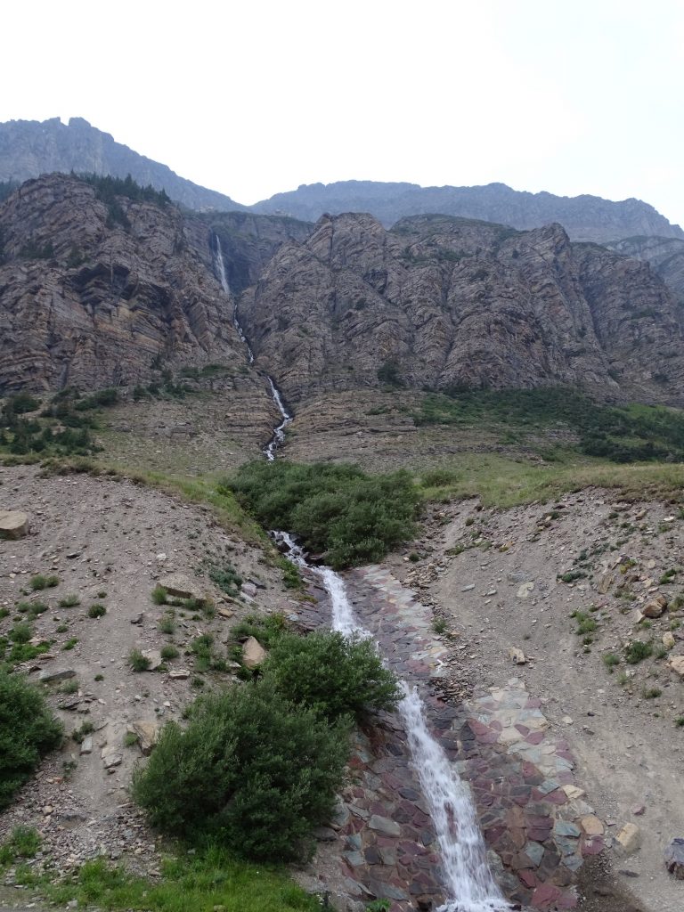
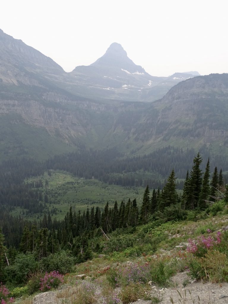
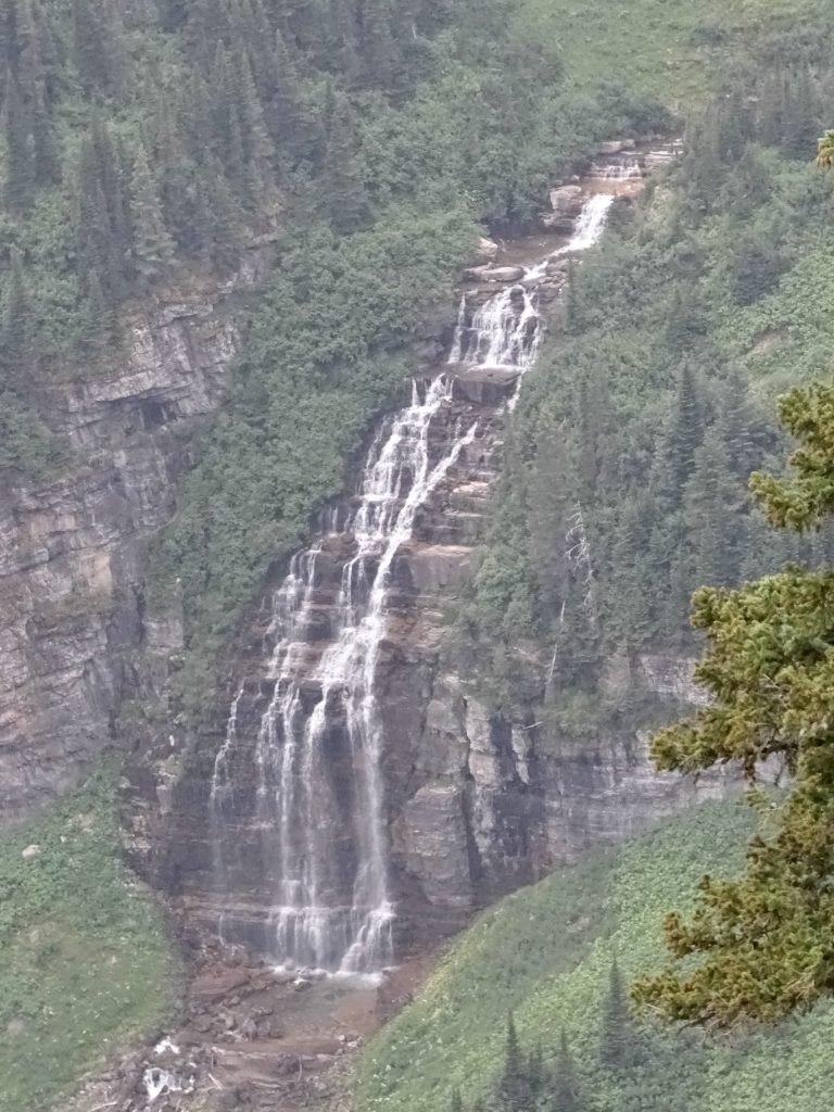
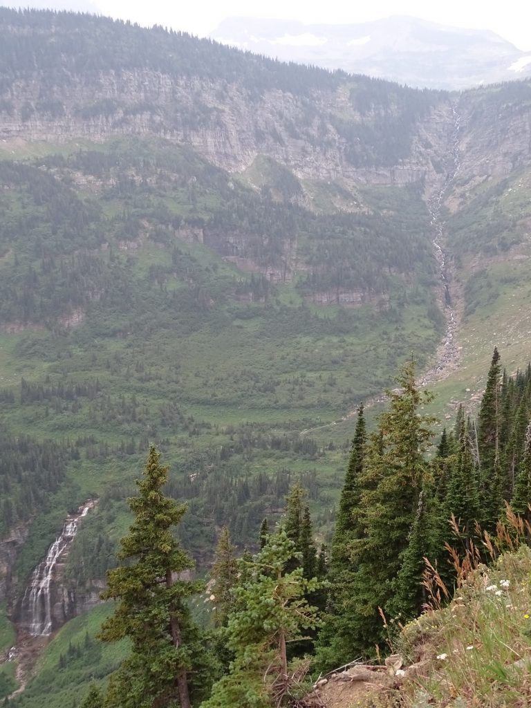
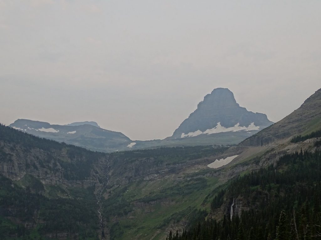
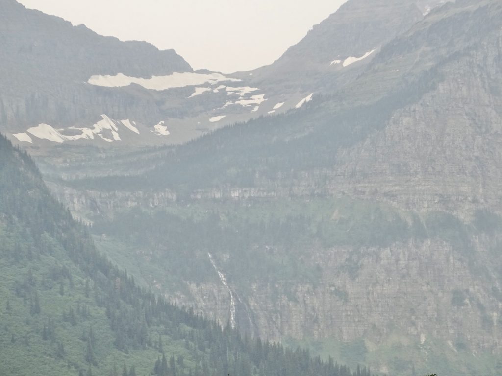
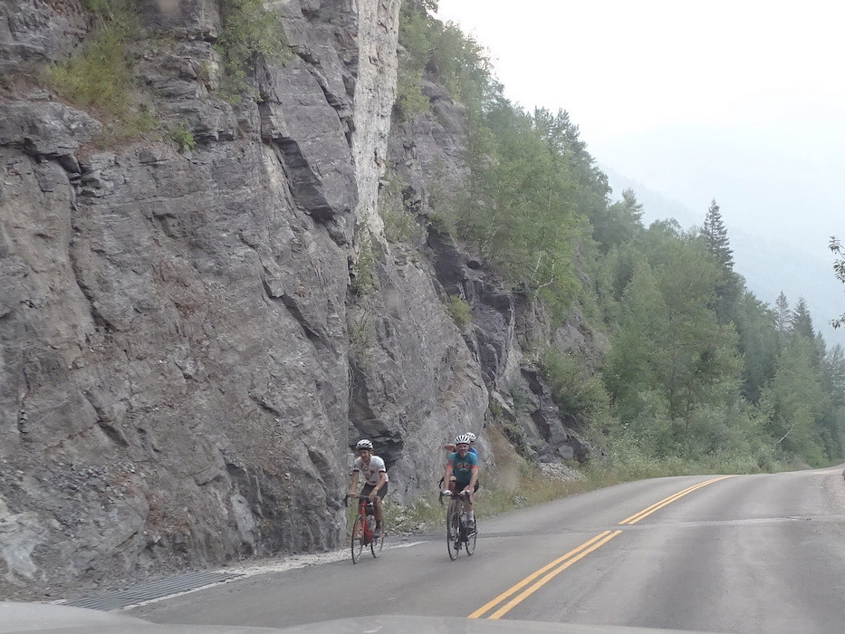
Glaciers are huge hunks of ice that are so big they are influenced by gravity. They actually move! Ancient glaciers, slowly drifting through the valleys below, created St. Mary and McDonald Lakes. While they look small in the pics, the minimum size is 25 acres. Smaller than that, and they remain stagnant. Amazingly, they are also 100′ or more thick! The ones you see here are estimated to be 7,000 years old, and everything in this area has been shaped by the movement of glaciers over time…even the pointy mountain peaks. If you look closely, a lot of these giant mountains have waterfalls way up. They look like little lines of white silk until you zoom in. We continued climbing up to Logan Pass. Before we made it there, the pullouts started being full and lots of people were walking up the road. The parking lot at the pass was full, and everyone was heading up to the trailheads there. It was that way on both sides of the pass, and we didn’t stop in any of that mess. We also noted that traffic coming in from the west side of the park was much heavier than that from the east side. Our drive wasn’t terrible at any point, but there were a few spots where they were lined up opposite direction behind bikes or lookers. With that in mind, we would suggest an east to west drive.

See the Waterfall?

Top Portion 
The Whole Thing

Jackson Glacier

Siyeh Creek 
Waterfall

Just Wow!


One of Two Tunnels on the Route

The Bottom 
The Whole Thing

From Logan Pass
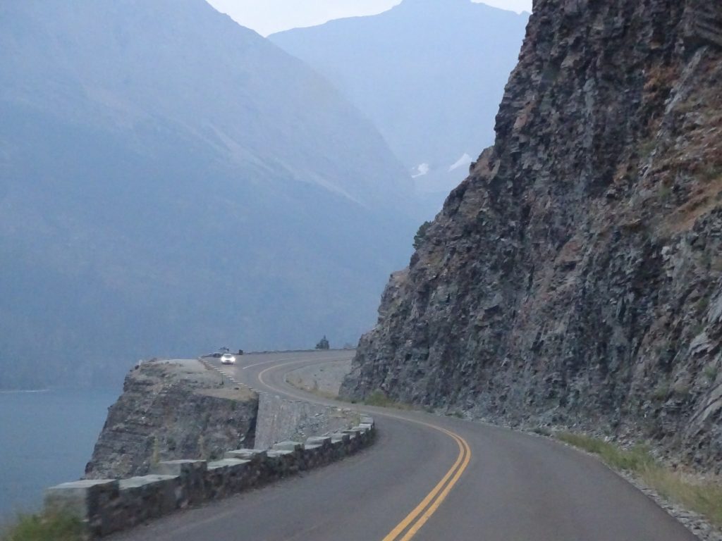
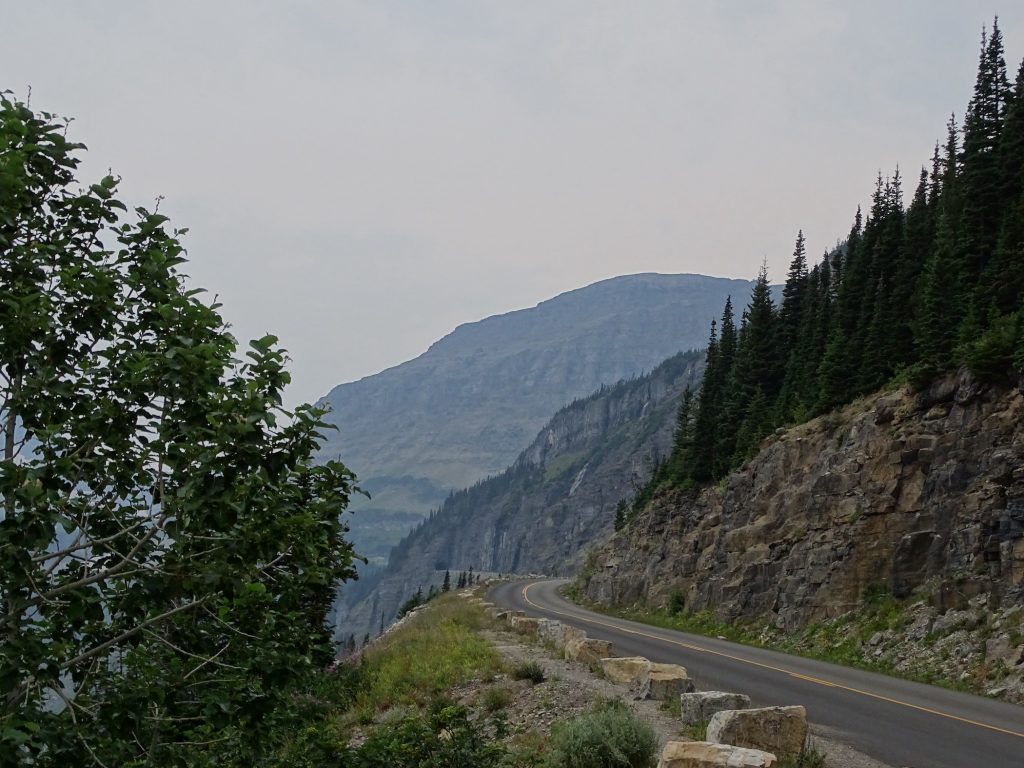
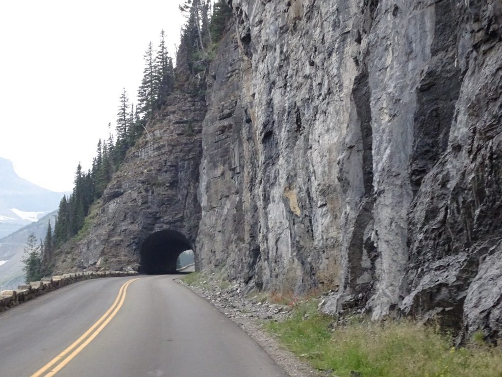
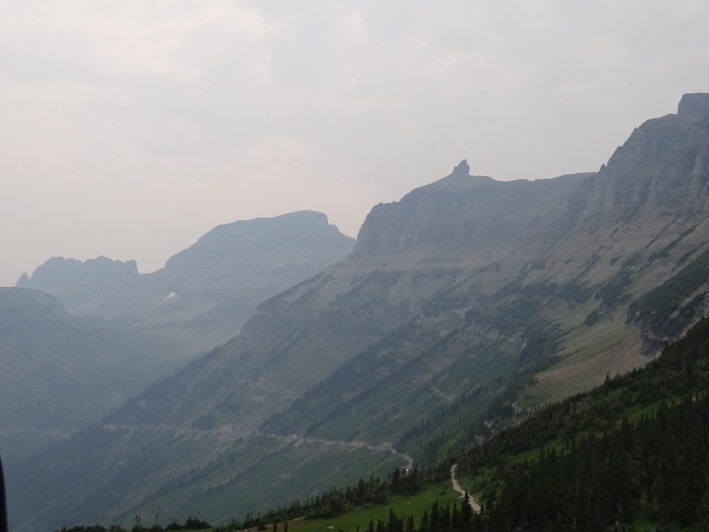
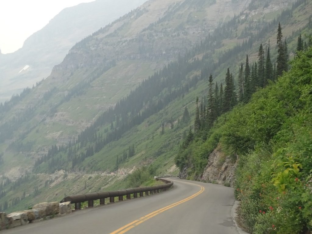
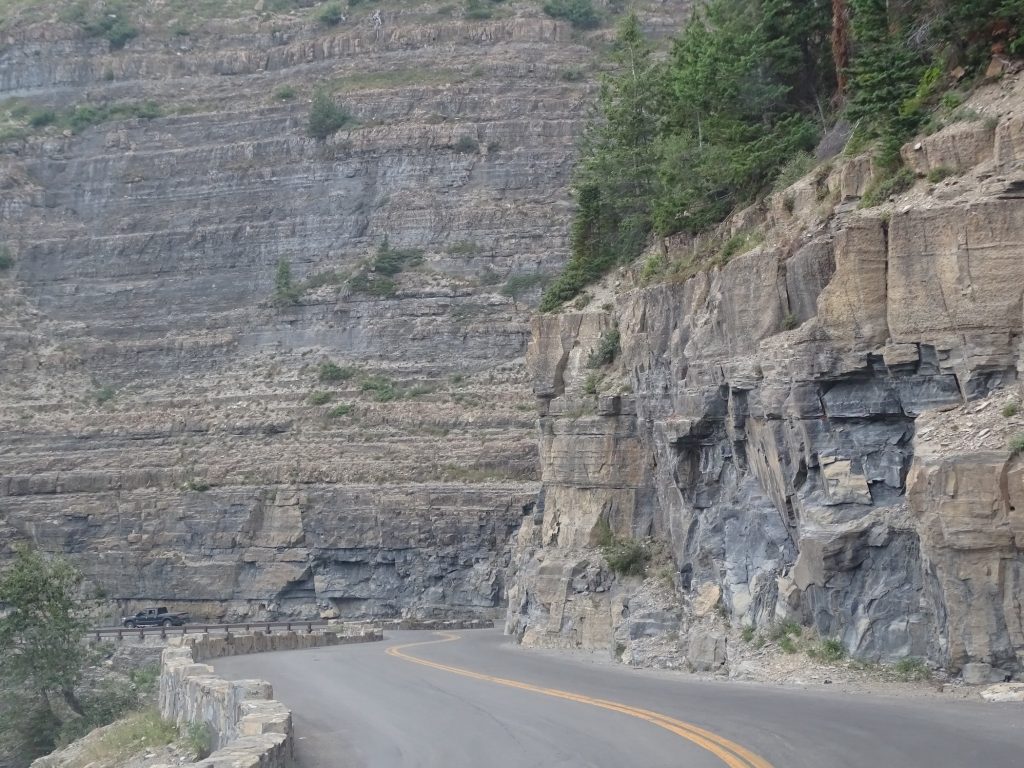
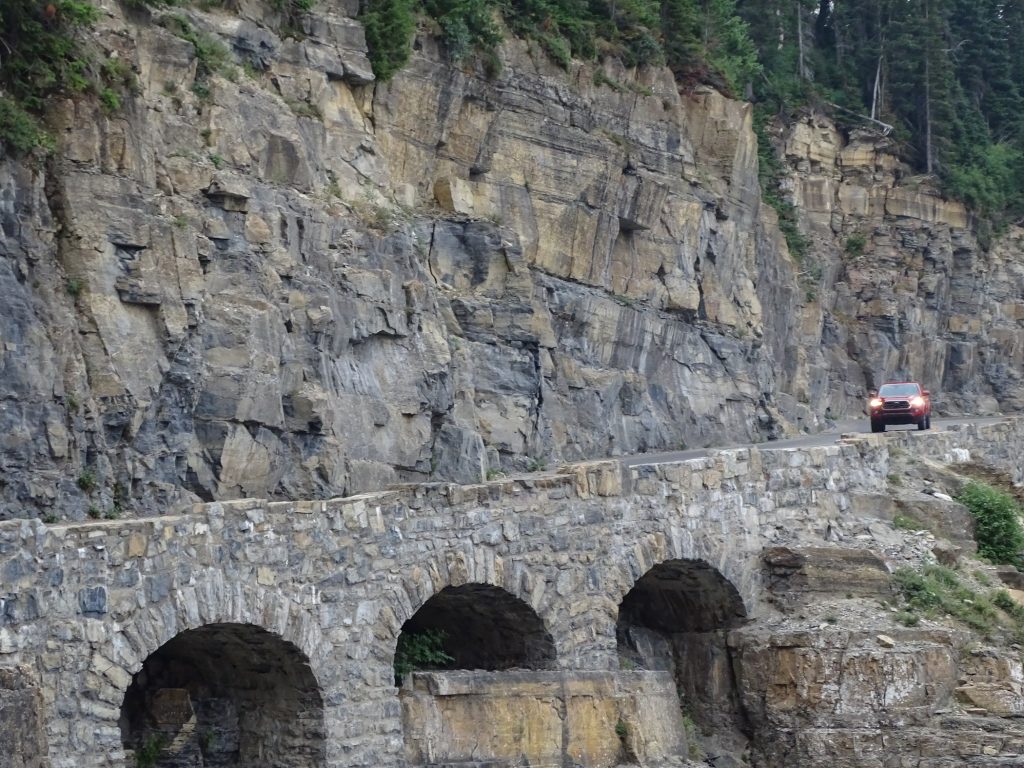
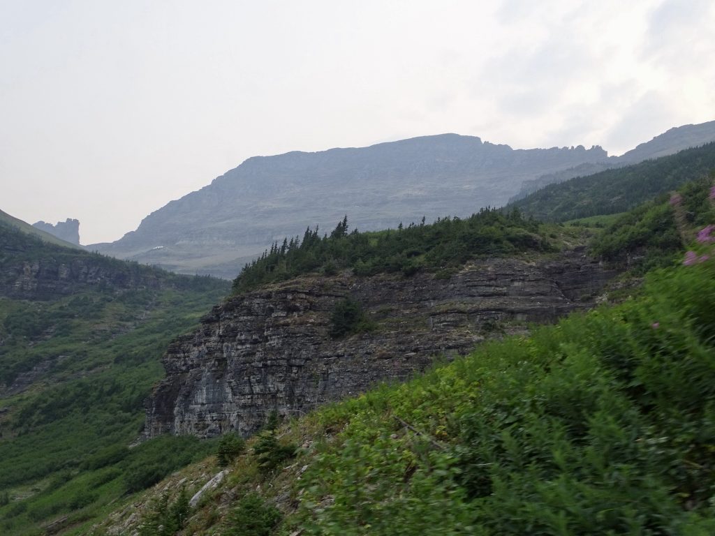
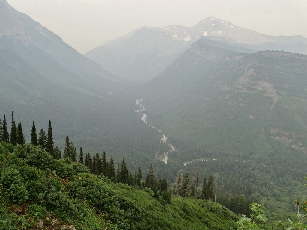
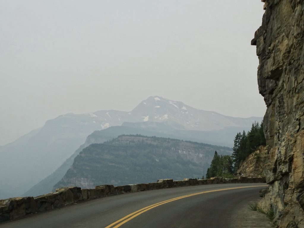
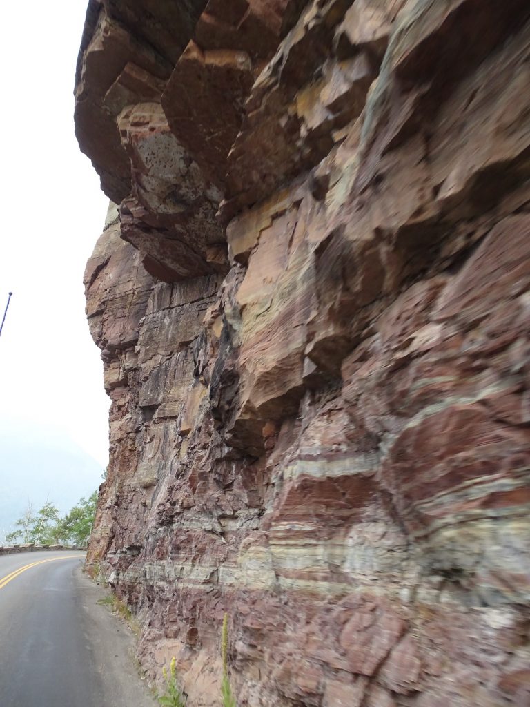
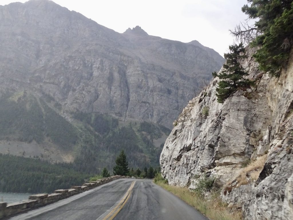
Not too long after the pass, the mountain walls started closing in on us. Vehicles driving through are limited to no more than 8′ wide and 22′ long, although we did see a few busting those by pulling trailers. In this section of the park, you understand why. The road twists and curves around the rock face, and there is plenty of width as long as everyone stays where they are supposed to. Problem is, there is a short rock wall on the outside edge, and people coming opposite direction are afraid of scraping it. They often come around the curves a foot or so over the line into the west-bound lane. More than once MW had to veer right to avoid a collision. We pulled our mirrors in just to give us a few extra inches. As we approached the West Glacier exit, we paralleled Lake McDonald. Carved by glaciers over 10,000 years ago, this is the largest lake in the park at 9.4 miles long and 462′ deep. It is home to several varieties of fish, including Trout and Whitefish, but does not have much in the way of nutrients…no algae, weeds, or organic matter to speak of. The fish get their food from the areas where streams enter the lake. So if you are going to fish…

Just Beautiful 
Rock Wall on Left – Tight Lane on Right

Looking Back 

The Sun is Trying to Come Out 
Massive Rock Cliffs

More Glaciers – See the Water Fall? 
The Valley


I See Crazy People!

Encroaching Rock

McDonald Creek 
Seriously Clear Water

Lake McDonald
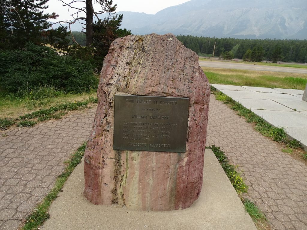
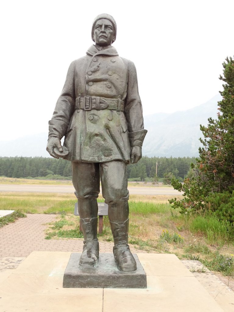
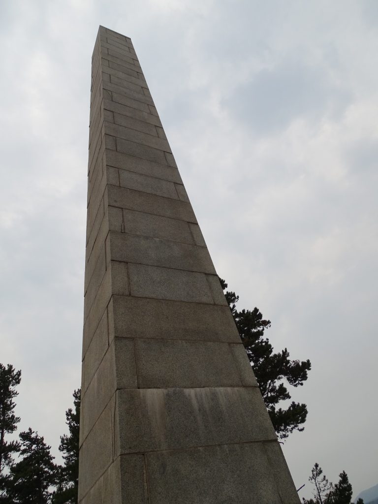
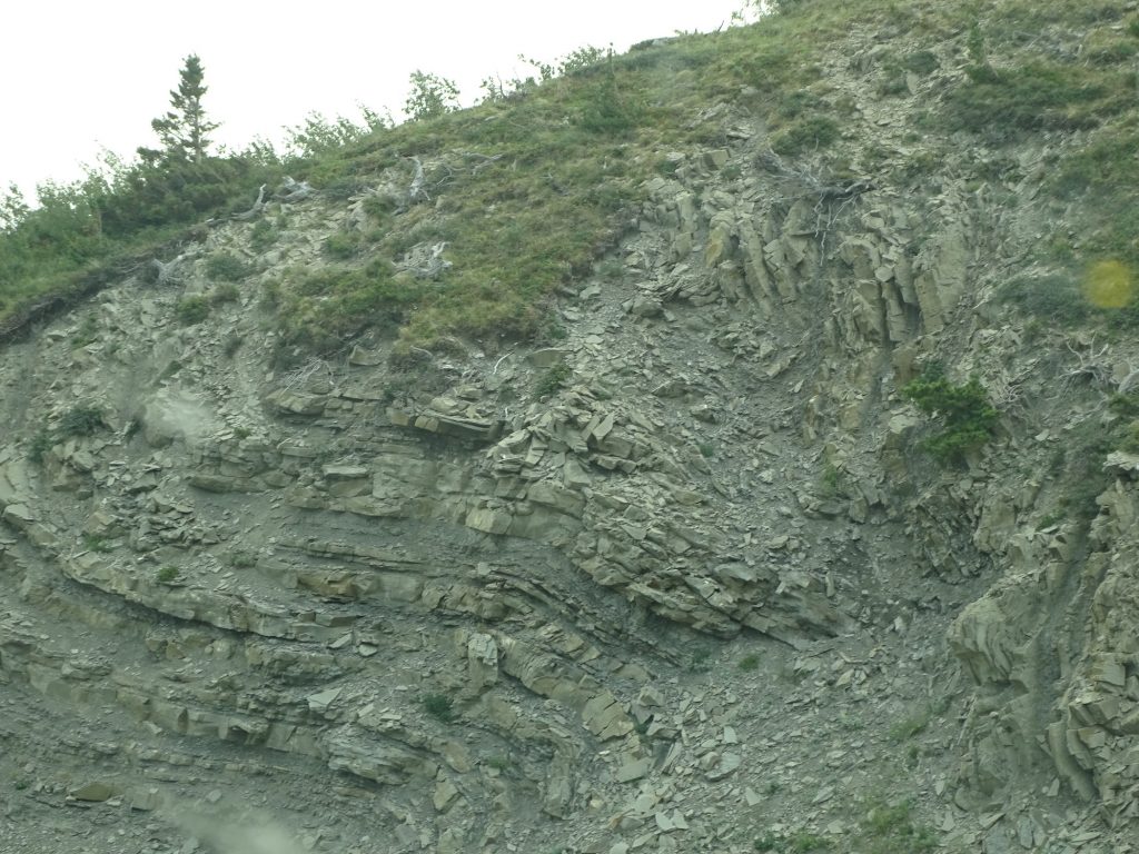
We exited the park, and it was time to find breakfast. We ended up in Hungry Horse, Montana, where we found the Great Bear Cafe. Honestly, we were looking for breakfast, and they only had three breakfast items…biscuits and gravy, an English muffin breakfast sandwich, and a breakfast burrito…so I was a little hesitant. I had the breakfast sandwich (think Egg McMuffin, but oh so much better), and of course, MW went with the burrito. Wow! They were a bit slow getting it to us, but it was so worth the wait. I don’t think I’ve ever had an English muffin that tasted fresh baked. Definitely four thumbs up! On the way out I talked to a young man on the porch from the area. His name was Chance, and he was a “rodeo guy”, and moved here from Oklahoma. Turns out that he is good friends with the guy who runs the Cody rodeo (also from Oklahoma) that Tina and I went to last week. He has competed and won there a couple of times, too. I enjoyed talking to him for a bit. After breakfast, we headed around the south end of Glacier on US-2. South of Essex, we stopped at Goat Lick Overlook and walked around a little. Didn’t see any goats, although apparently they really do show up there in the spring and summer and lick the exposed rock layer to get salts and minerals. Next we walked around at the Middle Fork Flathead River, just where Bear Creek comes in. There were some USFS firefighters taking a break there. Those guys have to be working their tails off right now! Our next stop was at the John F. Stevens Memorial Statue. He was the civil engineer tasked with finding a rail route across the Continental Divide for the Great Northern Railroad. In 1889, he found the Marias Pass, which the natives had used for generations. By 1893, trains were running from the headwaters of the Mississippi River in Minnesota to the Pacific. The road was a slower go, though. It wasn’t until 1930 that the last, 56-mile section of the Theodore Roosevelt International Highway was completed. Prior to that, cars were loaded onto railcars and transported from one side of the pass to the other. That would have been a cool trip! Now the 4,060 mile highway runs from Portland, Maine through Ontario, Canada, and on to Portland, Oregon. There is also a Roosevelt monument at the site, and another to William H. “Slippery Bill” Morrison. The latter donated land for the Roosevelt monument. We turned north on MT-49, which has all kinds of warnings about high winds, slide areas, and rough roads. It was kind of like the old ride at Six Flags Over Georgia where they chanted “Go back! Go back! Go back!” repeatedly as you entered. The road runs along Lower Two Medicine Lake and twists and turns up over another pass. It was very rough at times, and back on the reservation, you also had to watch out for free range cows. There was a length restriction for the road, too, but we really didn’t see any need for that. I guess others feel the same way, because we passed a truck/travel trailer combo coming the opposite direction that busted it.

Railroad Trestle at Overlook 
Middle Fork Flathead River

Bear Creek – No Bears 
Fireweed is Blooming Everywhere Up Here

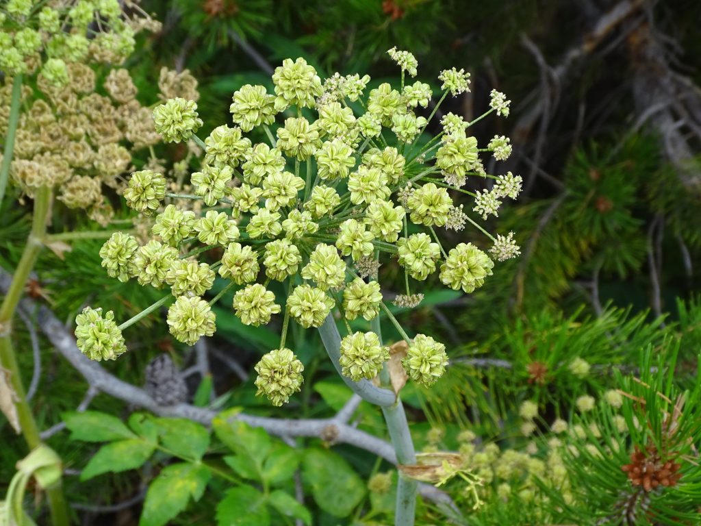
Isn’t This Odd Looking? Couldn’t Find ID 
This May Be Same Thing – Different Stage

Showy Aster is Also in Full Bloom 
Slippery Bill Monument

John F. Stevens 
Roosevelt Monument

Which Way Do We Go, George? 
Lower Two Medicine Lake

Look at All the Directions in This Rock 
View Coming Down
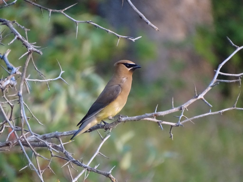
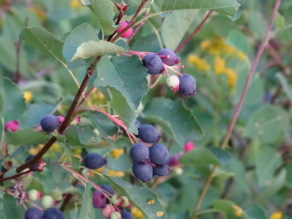
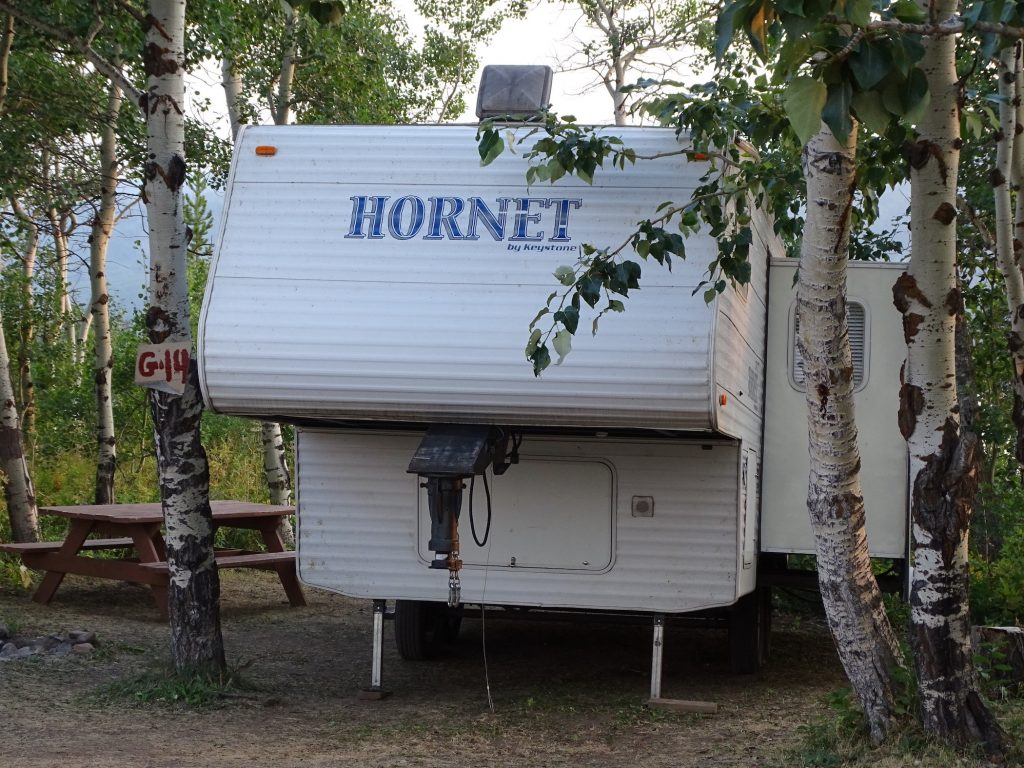
We made it back to Petunia about 12:30 PM, and I took a nice, long nap. After that, there was a bit of work to do, and I ran to Babb to drop off some mail. Dinner was leftovers, which we ate sitting outside enjoying the breeze. Later we took a walk to the lake and around the campground. The weather was really nice…79 degrees with a constant breeze. There were some really pretty birds flitting around at the lake that turned out to be cedar waxwings. One was nice enough to pose for a portrait. Along the lake path there were quite a few huckleberry bushes. They tasted a bit like a cross between a tart grape and a blueberry. Not bad, but not something I would go out of my way to get. Incidentally, you are supposed to be a native to harvest huckleberries anywhere on the reservation. We saw kids staying at the campground filling up a gallon-sized ziplock bag, so I’m not sure anyone pays attention. Well, except the bears. They definitely pay attention to the huckleberries. That is what two of the those yesterday were eating. While on our walk we saw an older fifth wheel that I just had to take a picture of. You can see the tight fit between the trees on either side. What you can’t see is that it is backed slap up to a tree in the back, too. Now that is professional! Despite the haze, it was a beautiful evening. We sat outside until almost bedtime. This cooler weather has been so nice. We’ve even been able to sleep with the windows open. Awesome!

Cedar Waxwing 
Huckleberries

Bravo on the Backing! 
Does He Know He Hit a Bear?

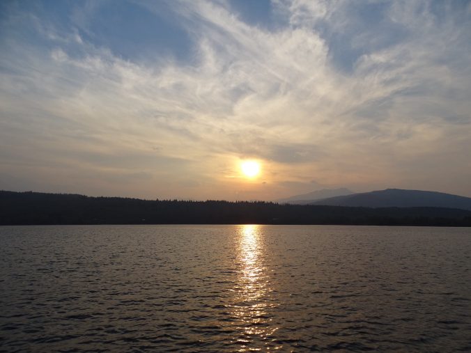
Beautiful Evening Sky
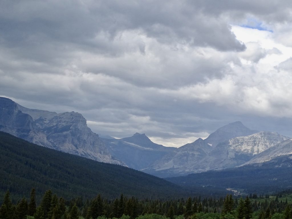
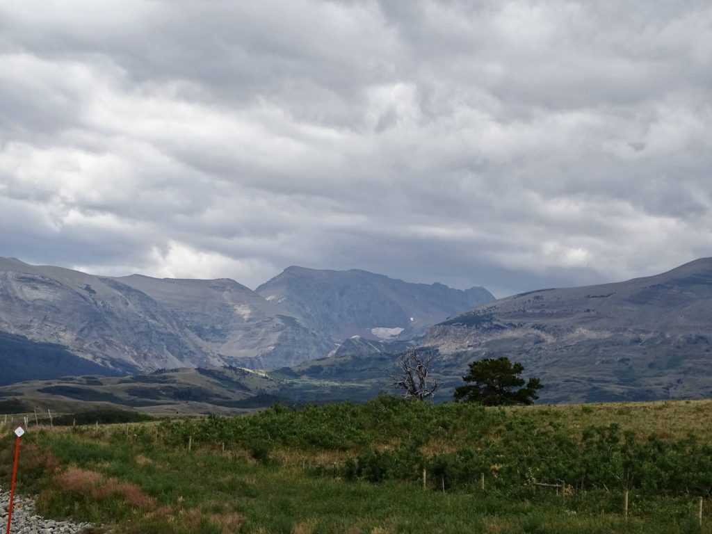
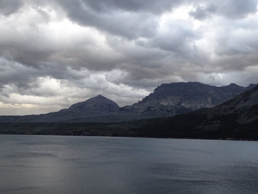
Saturday morning it was just glorious. There was a wind shift that took all of the smoky haze away, and despite the overcast, it was cool and the visibility was awesome. I started the day with a bit of writing, still trying to catch up from a week off. The peaceful beauty was interrupted by the wonderful neighbors that came in the night before. They had two little dogs that they had tied up outside. They barked at anything that moved, which was bad enough, but then the owners left them there and the dogs barked, howled, and whined almost incessantly until they came back. It really was annoying. Even more so since the park rules said you could not leave your dogs unattended, even inside your RV. (I don’t remember seeing that rule before, but Mom said they have.) Honestly, I love dogs, but if your dog is going to bark constantly, he/she is not a campground dog. They were still gone when we headed out after lunch, so I stopped into the office. Apparently, several others had, too. We headed south on US-89 and then MT-49 to check out another part of Glacier, the Two Medicine Valley. It is truly a gorgeous drive, but MT-49 bounces you all over the place.

St. Mary Lake 
So Much Clearer Today

Spectacular…No Other Word

US-89 South – The Red Pole is for Snow Plows 
Yup…Just Restin’…On the Side of the Road

OMGosh!!

Who Would Get Tired of Seeing This? 
Glacier

Off Of MT-49

Plenty of Forest, Too 
Lower Two Medicine Lake
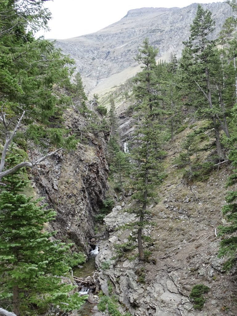
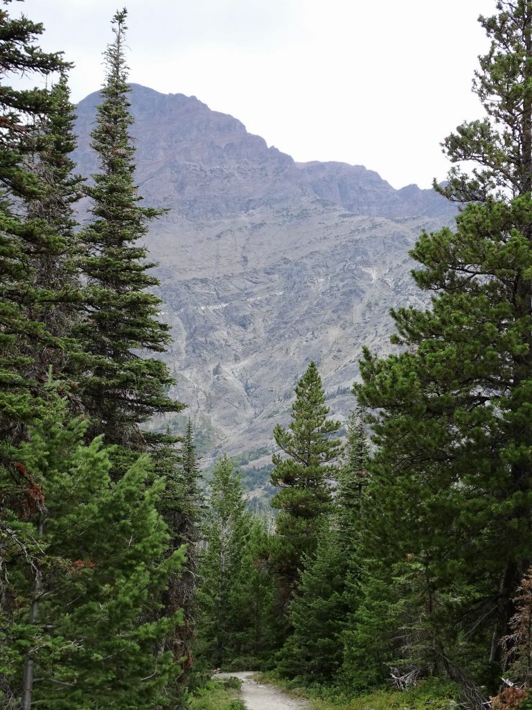
Once we made it to the park, crowds at the last trailhead made parking impossible. We circled through the picnic area, found a bathroom, then headed back out to the Mt. Henry Trailhead and took the hike out to Appistoki Falls. It was an easy hike of a little over a mile, but there were some slippery gravel spots near the top.

More Glaciers at Two Medicine Valley Picnic Area

Appistoki Falls 
View From the Trail
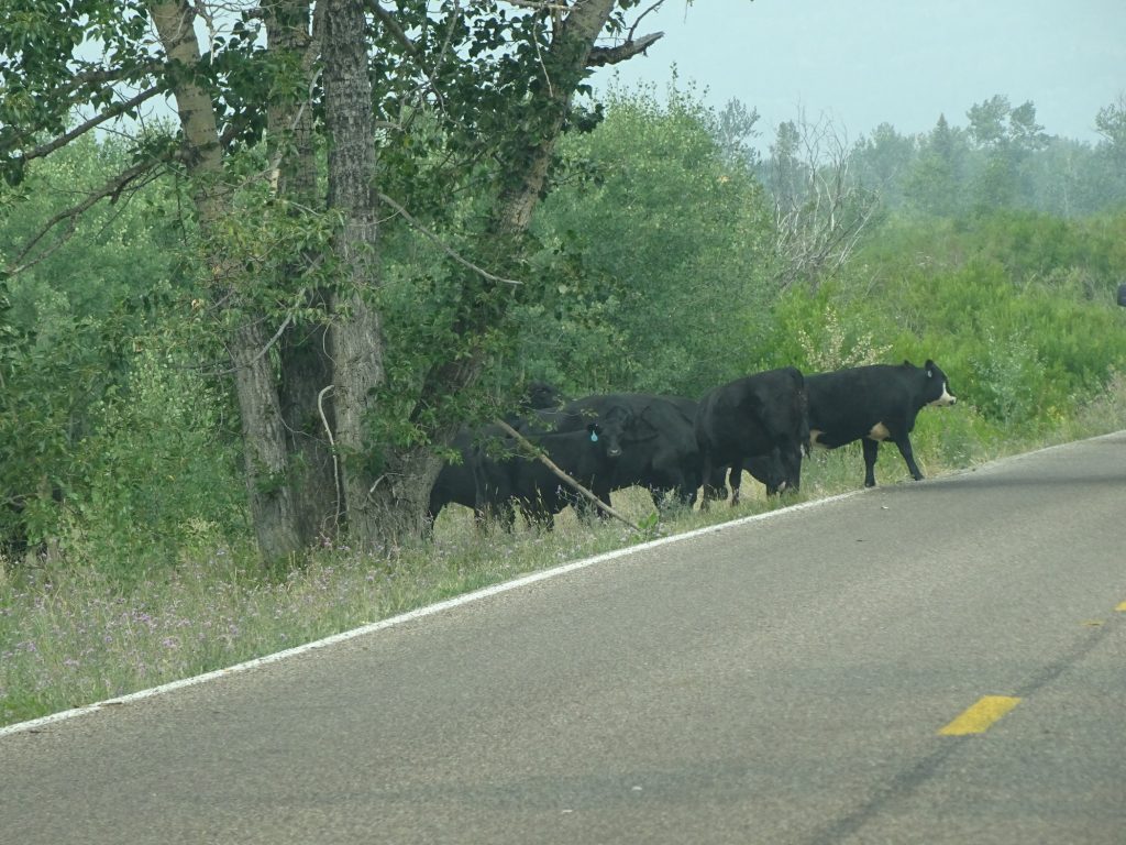
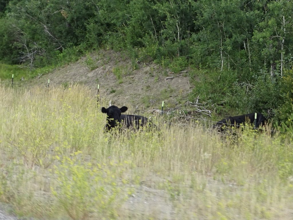
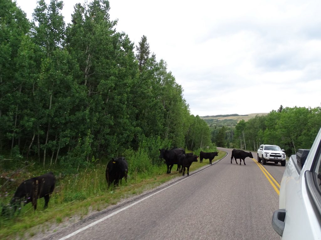
Back in the car, we exited the park and turned south on MT-49. We hadn’t gone very far before we rounded a bend right into a small herd of free range cattle. I really do love that, but it could be very dangerous, too. We turned northeast on US-2 to Browning, then took US-89 back to St. Mary. Wanting to take a new road, we turned left on West Shore Drive, which skirts the opposite shore of Lower St. Mary Lake. It should have been a nice, scenic road, but, what was at one time paved is now a mostly not paved and incredibly rough. We continued up to Babb. I’m fairly certain that I saw another bear in the woods coming from the lake, but by the time we got backed up to see it, he was gone. At Babb, we planned to go west to Many Glacier Valley and check out a trail or two there. Just as you turn onto the road, though, there was a sign saying “Road Construction, Expect 40 Minutes Delays, Rough Road”. After the road we had just been on, we decided we weren’t quite up for that, so we turned around and headed back to Petunia.

They REALLY Want to Cross the Road 
From US-89

View from West Shore Drive

Swiftcurrent Creek
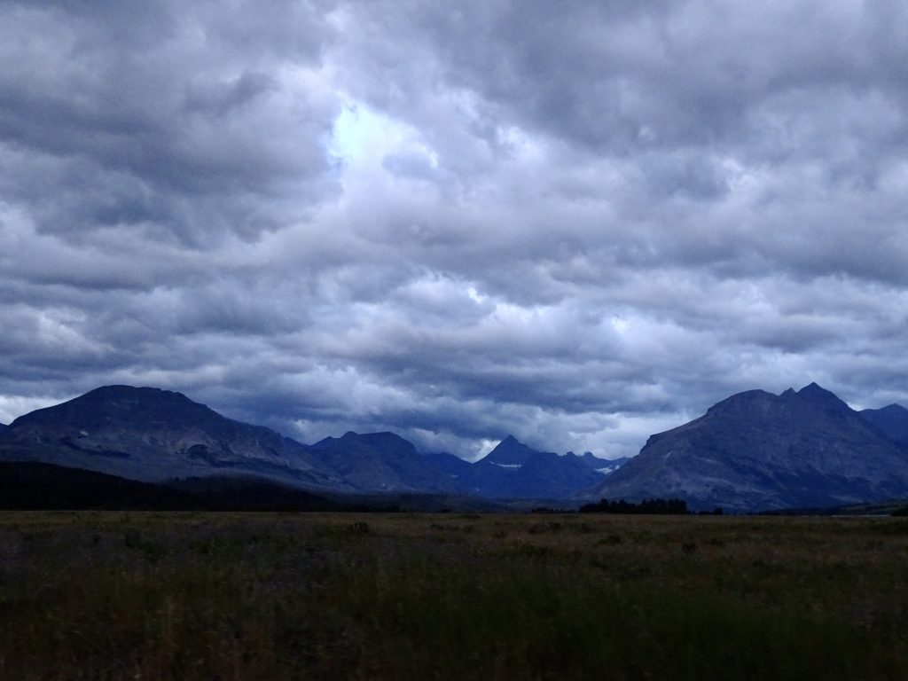
At about 8 PM, we headed back over to Going-to-the-Sun Road, hoping to drive in for a ways and see some more critters. As we turned in that direction, we could see dark clouds right over where we needed to go. Dangit! We decided to go anyway and see what it looked like there. It was drizzling when we arrived, but even with the rain, the visibility was better than on Friday. We drove past the huckleberry fields, but had no luck seeing anything new. Part of the way up to Logan Pass, we turned around and headed back to camp.

Leaving the Park…Almost Dark…It Really Was Blue
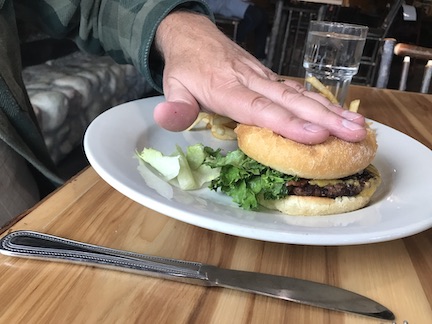
Sunday we were exhausted. Saturday night our neighbors, the same ones with the dogs, decided to party into the wee hours. Quiet hours started at 11 PM, and the six adults continued to sit around outside talking loud and drinking. One of the women had a cackling laugh that you could probably hear throughout the campground. At 12:30 AM, I went out and asked them to please keep it down. The girl said “there are quiet hours?” She said they would quiet down. The cackly woman said something that I didn’t understand until later. Within 15 minutes they were back at it again. At about 1 AM, MW went out and asked them again to keep it down. The nice woman followed him back to our site to “see how loud it was” while, of course, everyone was being quiet. The cackly one said “This is our state, so why don’t you just leave?!” When MW told me that, I realized that what she said to me was “get out”. This time, though, they did move their truck forward to be between us and seemed to move their party to the other end of their camper. (There was no one on the other side.) That at least made it quiet enough for us to get to sleep. MW said he did hear them out there until about 3 AM, though. I just can’t understand how people can go through life with a total disregard for those around them. Ugh! We didn’t get out of bed until late. It was a cold, rainy morning, and we actually turned the heat on…in August! Yes, still loving it! We headed to St. Mary because MW had a craving for pizza. That place wasn’t open, though the hours said it should have been. Oh well. Plan B was the Mountain Bar at St. Mary Lodge. It was crowded, service was slow, and prices were high, but you are right outside of Glacier, so that is to be expected. I had the Caprese Sandwich ($15), which was very small and came with fries. It had a great flavor, but was the driest piece of grilled chicken I’ve ever eaten. MW had the Montana Bacon Burger ($16), also with fries. It was about the size of a small fast food hamburger, but tasted good. After lunch we bought a couple of Christmas gifts at the lodge store, then headed on back to Petunia. The afternoon was spent listening to the rain, writing a bit, and watching awful movies.

Tiny Burger…The Lettuce Makes It Look Bigger
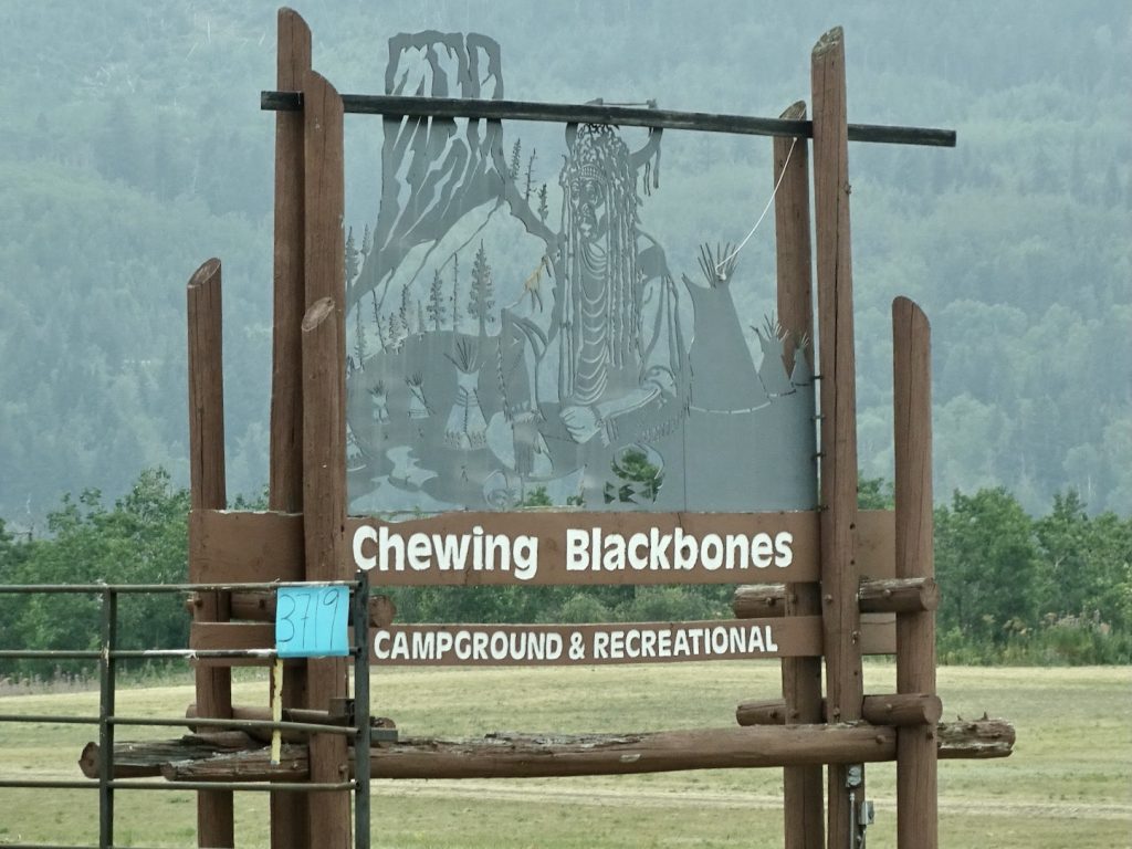
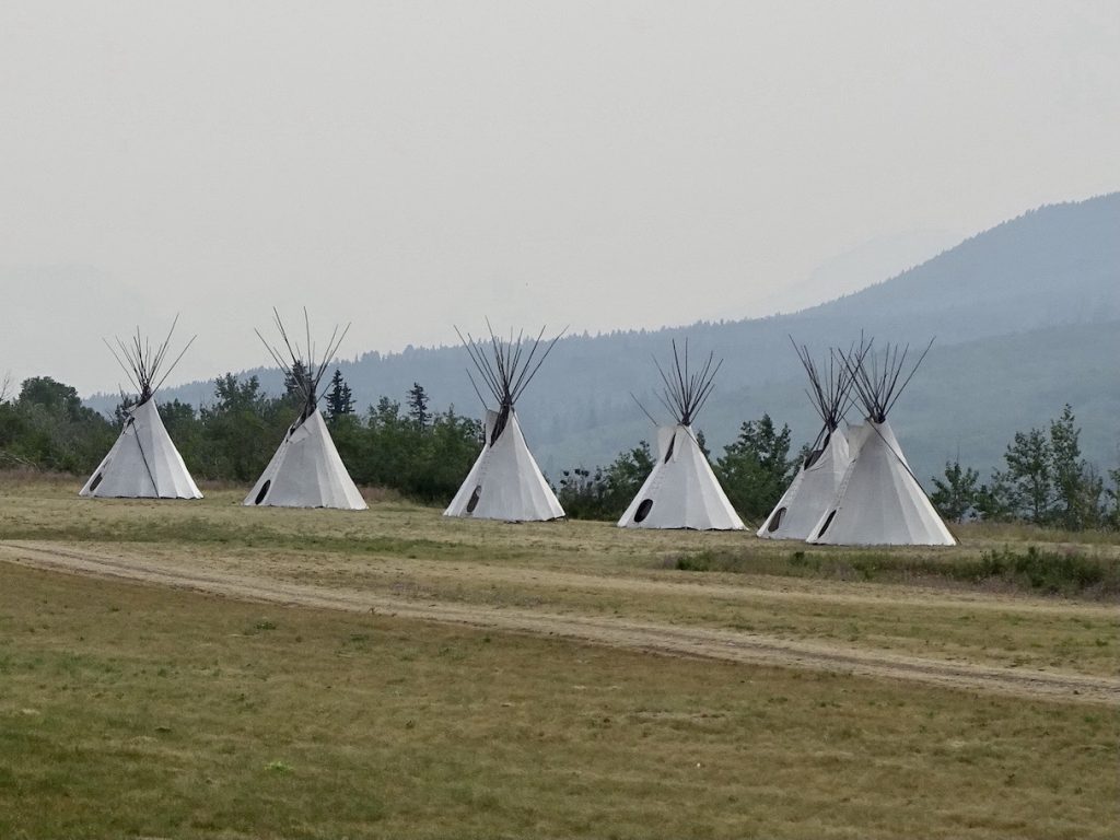
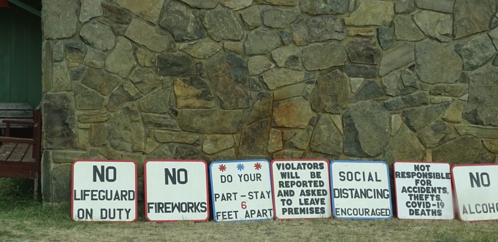
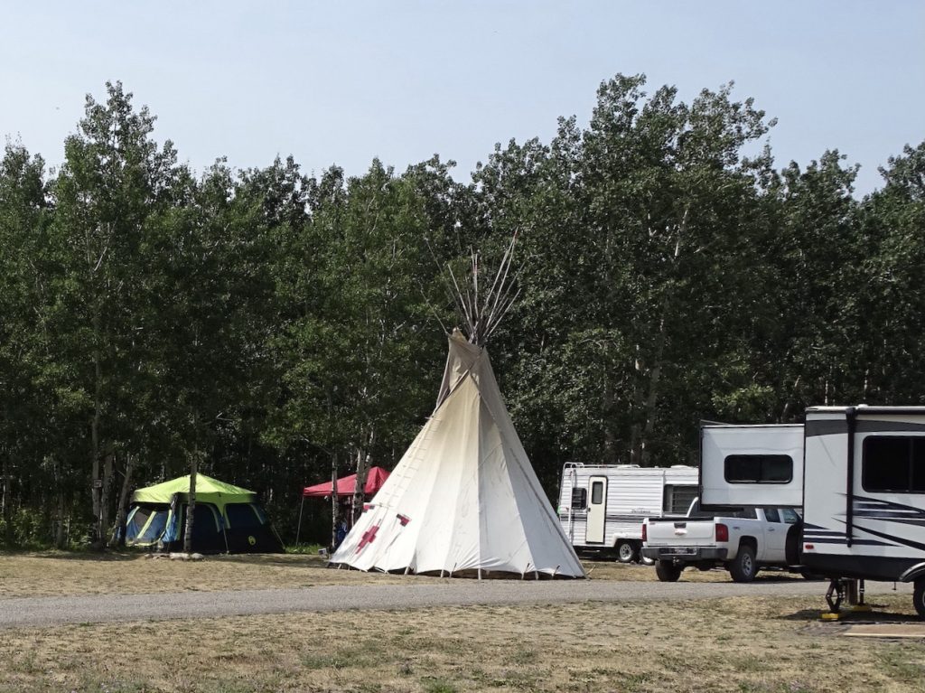
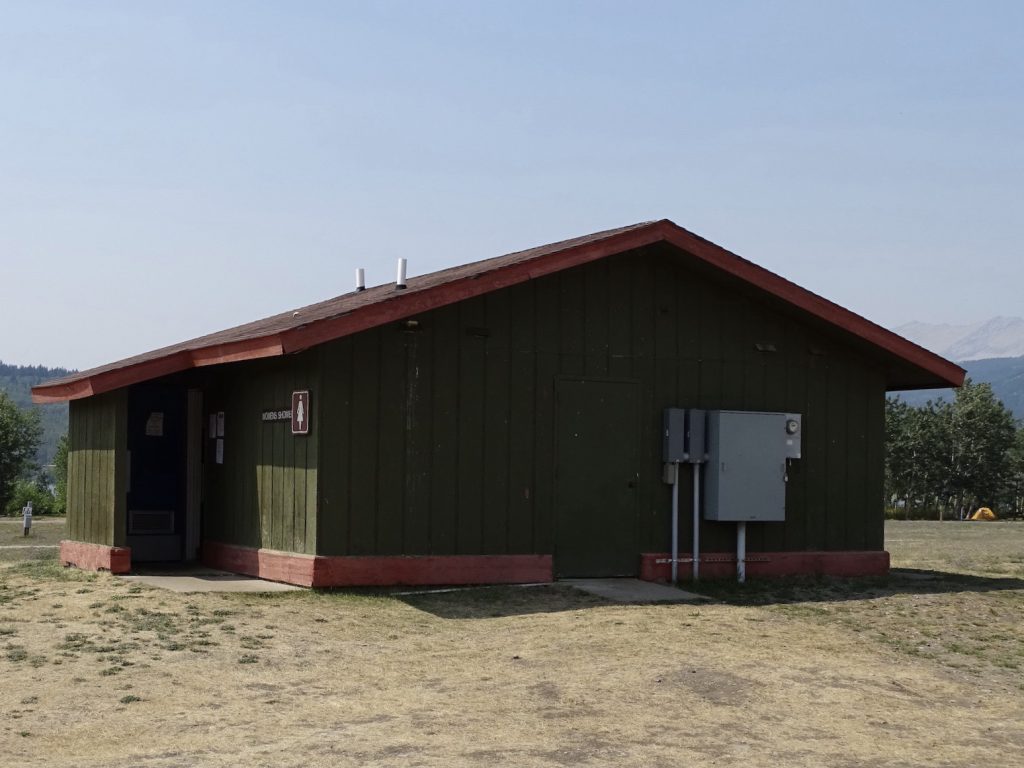
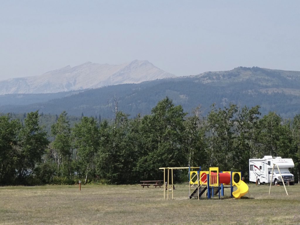
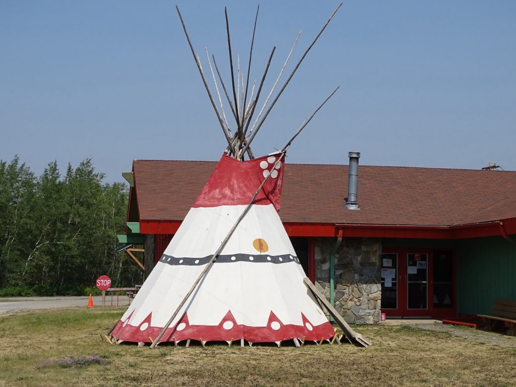
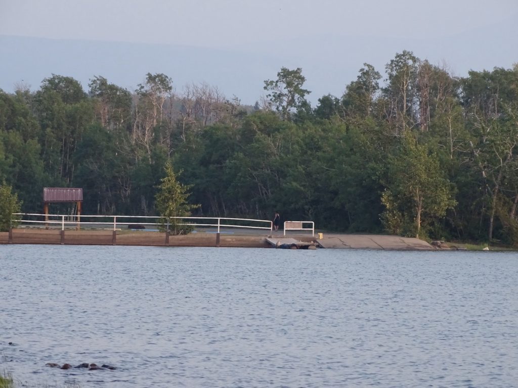
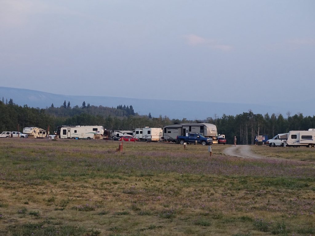
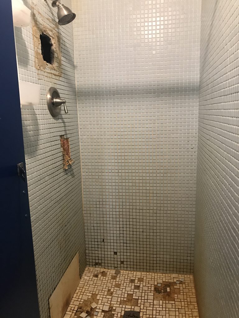
Chewing Black Bones Campground and Recreational Area is located on the Blackfeet Reservation along Lower St. Mary Lake. The day-use section is separate from the campground area and includes a boat launch, group campsites, a picnic area, and teepee village. They offer some recreational rentals and have a very limited store. The campground area has 140 sites in a mixture of full hookup (both 50- and 30-amp), RV electric only (both 50- and 30-amp), RV no electric, tent electric, tent non-electric. Can’t give you more detail than that, because their maps, both online and printed, are very unclear. Honestly, there aren’t a lot of plusses here. The dirt sites look like they were laid out with gravel to park on at one time, but nothing has been maintained and the gravel is mostly covered by dirt. There are two portajohns and two bathhouses, although one of the latter is closed off for repairs. The other one is AWFUL! The shower floors are tile that is broken apart. In both showers on the men’s side, they have laid wood boards over the broken tile to stand on. In both the men’s and women’s sides, there is a gaping hole in the wall in one of the stalls to repair plumbing. The hole has been left open and people have been showering, so you know there is a nasty mess in there. When we arrived, we needed to dump, since the last campground didn’t have facilities for that. We were surprised to find a padlock on the dump opening. After driving back to the office (it is a large park), MW was told that they charge $10 to dump. What? It is listed as part of the campground on the reservation site, so MW advised that they either needed to remove it from there, make a notation that there was a fee, or not charge for it. The young lady, who was very nice, said he wasn’t the first one to complain, and implied that, because they were closed last year for Covid, the boss was trying to come up with ways to generate extra revenue. Seriously?! By charging campers for what is normally included and is advertised on your reservation site??!! After staying at more than 100 places, this is the first time that has ever happened. We dumped and got set up. Our site did not have water, but was advertised as having a faucet within 15′. Problem was, it didn’t work. Thankfully, there was another faucet across the street that we could reach to fill our tank. This park is suffering from gross negligence in the area of maintenance. I don’t usually post inside bathhouse pics, but this one was necessary. In our comings and goings, we saw what appeared to be dozens of employees mostly sitting around doing nothing. There are so many other campgrounds around the Glacier area, that I would really just avoid this one. For this stay in August 2021, we paid $165.50 for 30-amp electric only for four nights, not including the $10 dump fee.

Recreational What? 
Teepees

They Had Just A Few Thing to Say

Teepee 
Bathhouse

Playground 
Front Office With Teepee

Boat Ramp 
Across the Campground
That’s it for now. Next up…Eastward Ho! and other stuff. See you on the path!
Talisa
P.S. Hit the follow button below to be notified of new posts and please SHARE, SHARE, SHARE on social media.





Leave a Reply