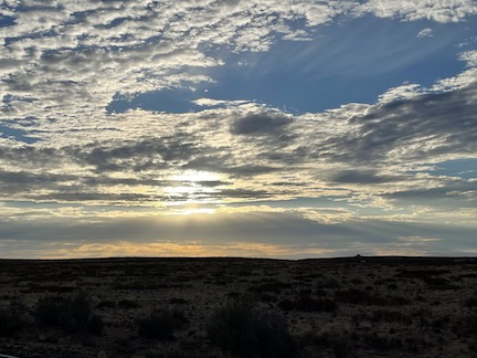
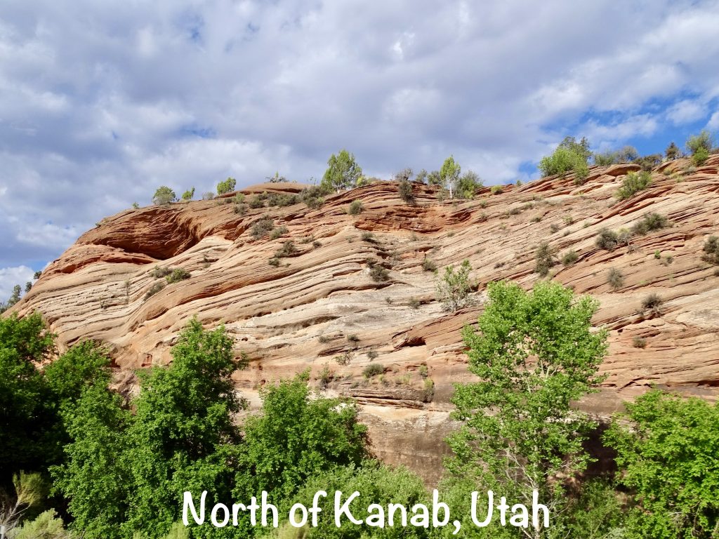
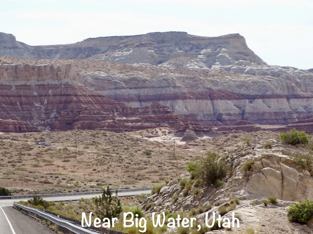
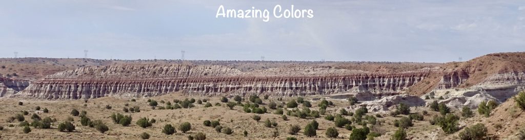
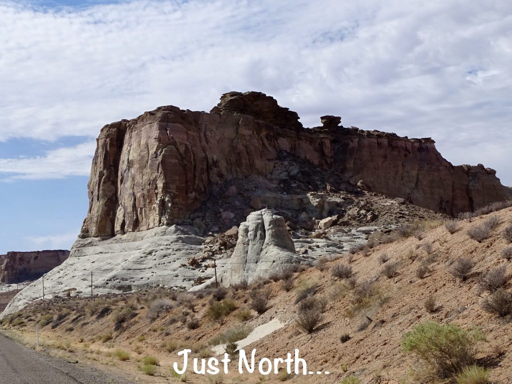
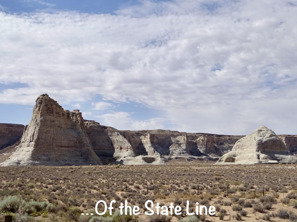
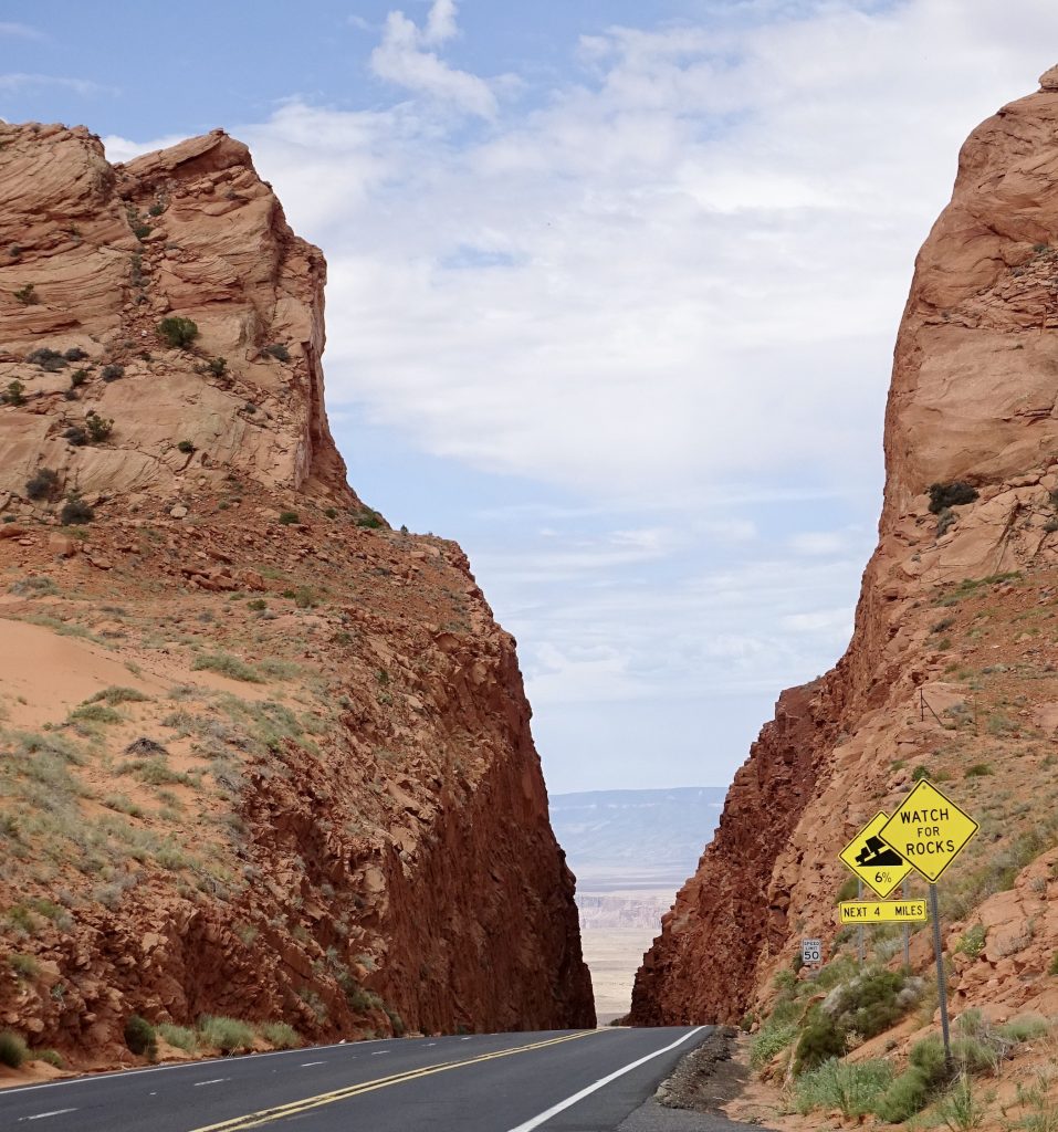
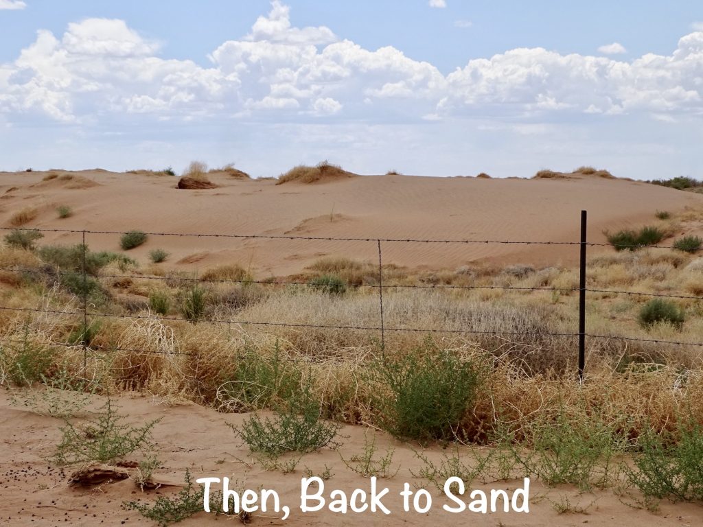
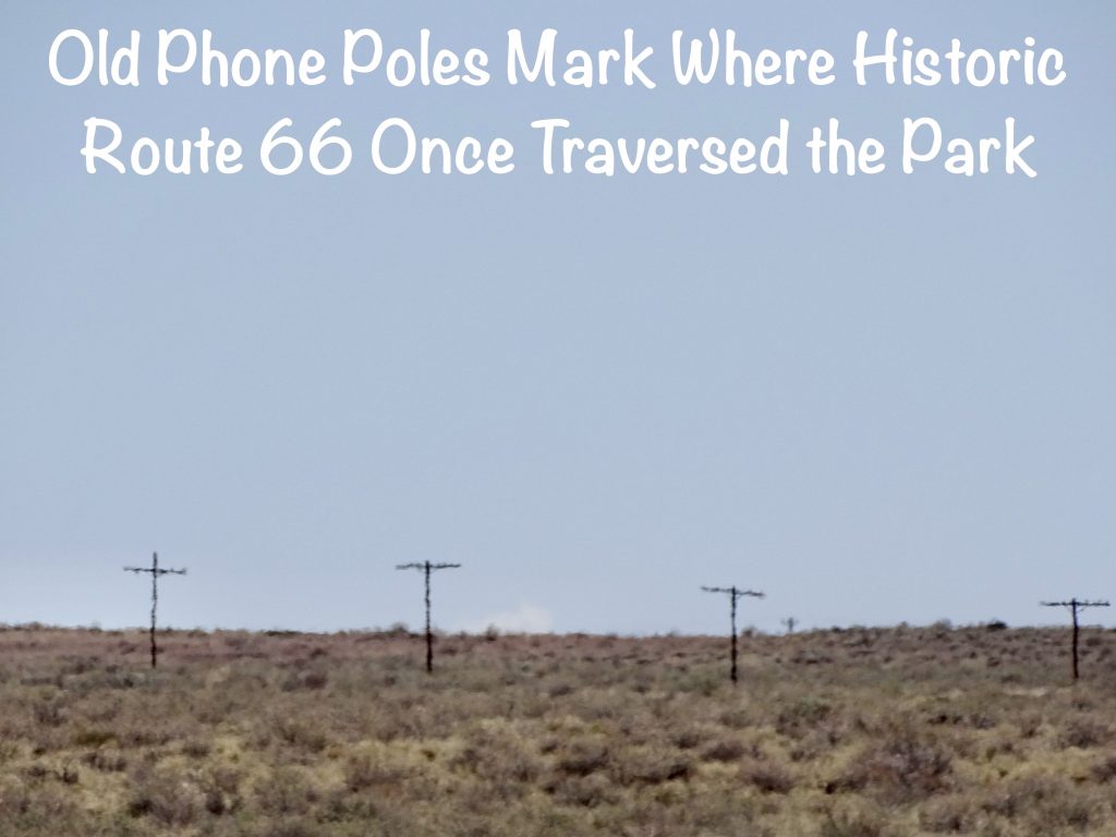
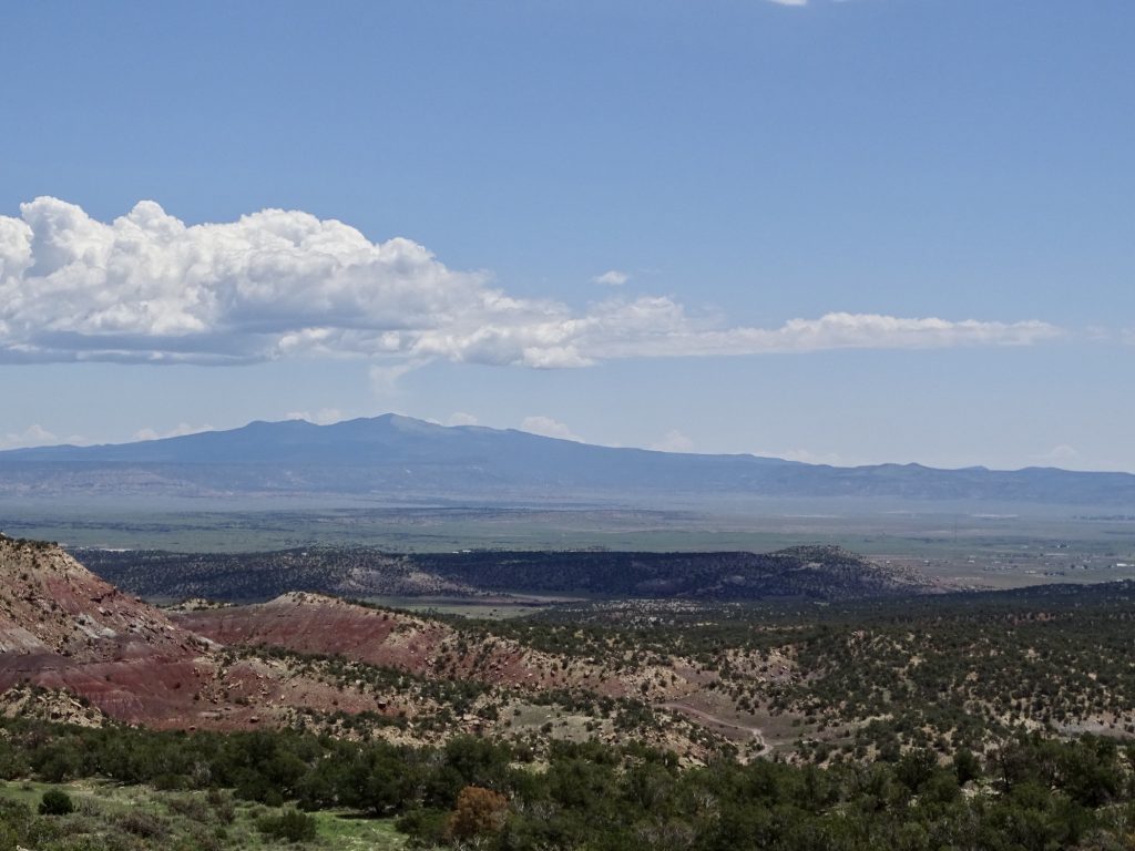
On Monday, July 11, we hit the road about 8 AM. We had a long drive, but would once again be dropping an hour as we crossed into Arizona. Well, actually it was as we came out of the Navajo Reservation in northern Arizona. The state does not switch to Daylight Saving Time, but the reservation does. Confusing, I know. Even my phone didn’t switch for hours and it might have smoked a little, too! Most of our drive was marked as scenic, and they weren’t wrong. We headed south on US-89 all the way through Kanab and Big Water.
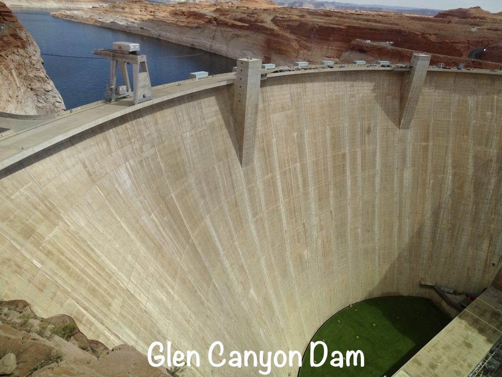
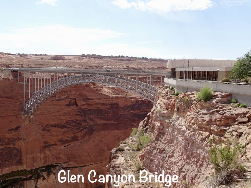
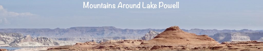
At the state line we stopped to take a look at, you guessed it, a dam. This one was Glen Canyon Dam, the second largest concrete-arch dam in the United States. Hoover Dam beats it by 16′. (It was built 20 years after Hoover, and I’m perplexed that no one said “lets add 17′ to the height”. Being the “tallest” would bring in more revenue over time in souvenirs, etc.) Completed in 1964, it dammed up the Colorado River and created the 186-mile-long Lake Powell. It is upstream from the Glen Canyon Bridge, which is the second highest steel-arch bridge in the United States. There is a Visitor Center with great views of the dam and bridge and exhibits about its construction. It’s not a bad stop to get out and stretch your legs. We didn’t hike, but they have quite a few trails of varying degrees of difficulty in the area, and just a few miles south there is a nice hike out to view the iconic Horseshoe Bend on the Colorado River.
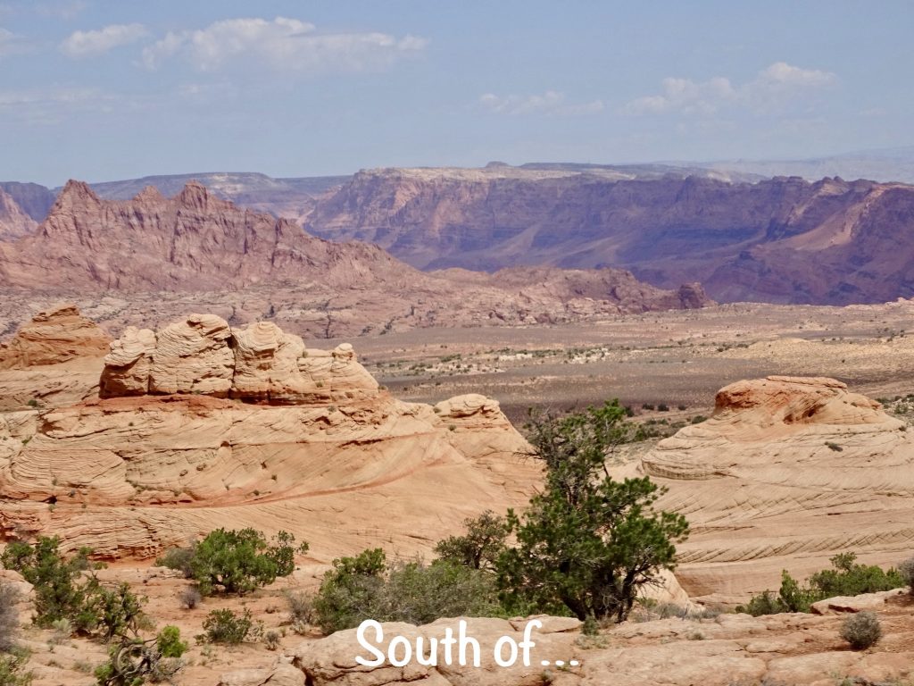
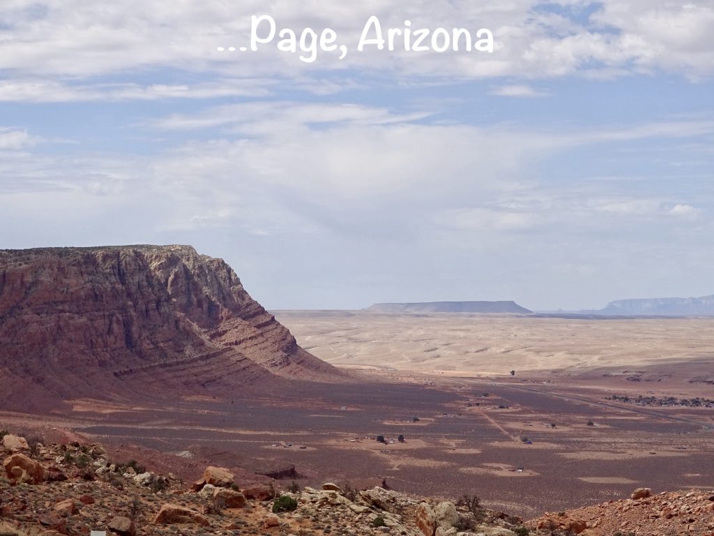
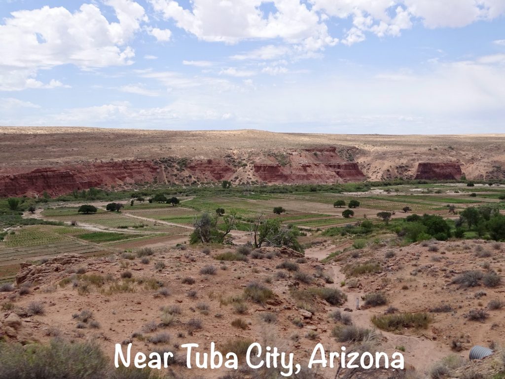
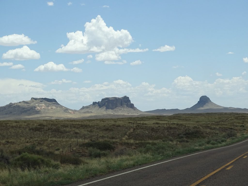
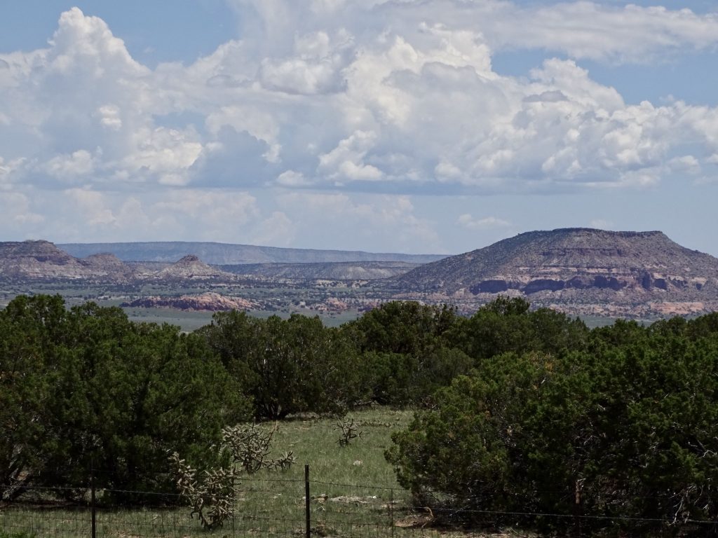
After walking around a bit, we continued into Arizona through Page and onto the reservation. At US-160 we turned east over to Tuba City, where we planned to stop for lunch. We tried a pizza place and a Chinese place, but both dining rooms were closed for Covid. It was way too hot for a picnic, so we finally decided on Subway and ate in the truck. The girl who helped us said the dining room had been closed since Covid began. Wow! As we passed through the area, you could see multiple restaurants and other businesses closed for good. It was very sad. We took AZ-264 through the Hopi Reservation, which is in the middle of the Navajo Reservation. At Second Mesa, we turned south on AZ-87, which took us all the way to our home for the next couple of days, Homolovi State Park.
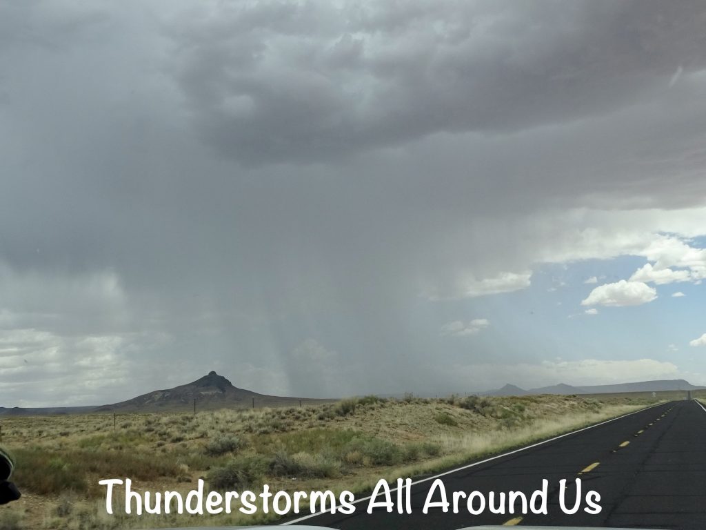
For the last couple of hours of the drive we had been dodging thunderstorms, occasionally getting a bit wet. We were hoping it would wash some of the bugs off of Petunia’s nose cap. It didn’t. What it did do is make Petunia just damp enough to attract every bit of dust in the air. She looked awful! After getting everything set up, we headed over to the Visitor Center to see if we needed to check in. I was curious about why the Hopi Reservation was smack in the middle of the Navajo Reservation. As it turned out, the lady working at the office was Hopi. She explained that they are not related in any way to the Navajo, and the Hopi are the only tribe that was not physically relocated to a different area from their homeland. The Hopi originated in South America, and they were led to the site of their reservation by their god Masauwu. They are a small nation (about 12,000 people now according to her), and the U. S. government had no reason to move them. The Navajo, on the other hand, were more nomadic. The government’s solution to that was to outline an initial area and later expand it here and there for a variety of reasons. It just so happened that the Hopi were in the middle of that area in the end. Interesting! She had so many fascinating stories that I ended up buying a book on Hopi culture and history.
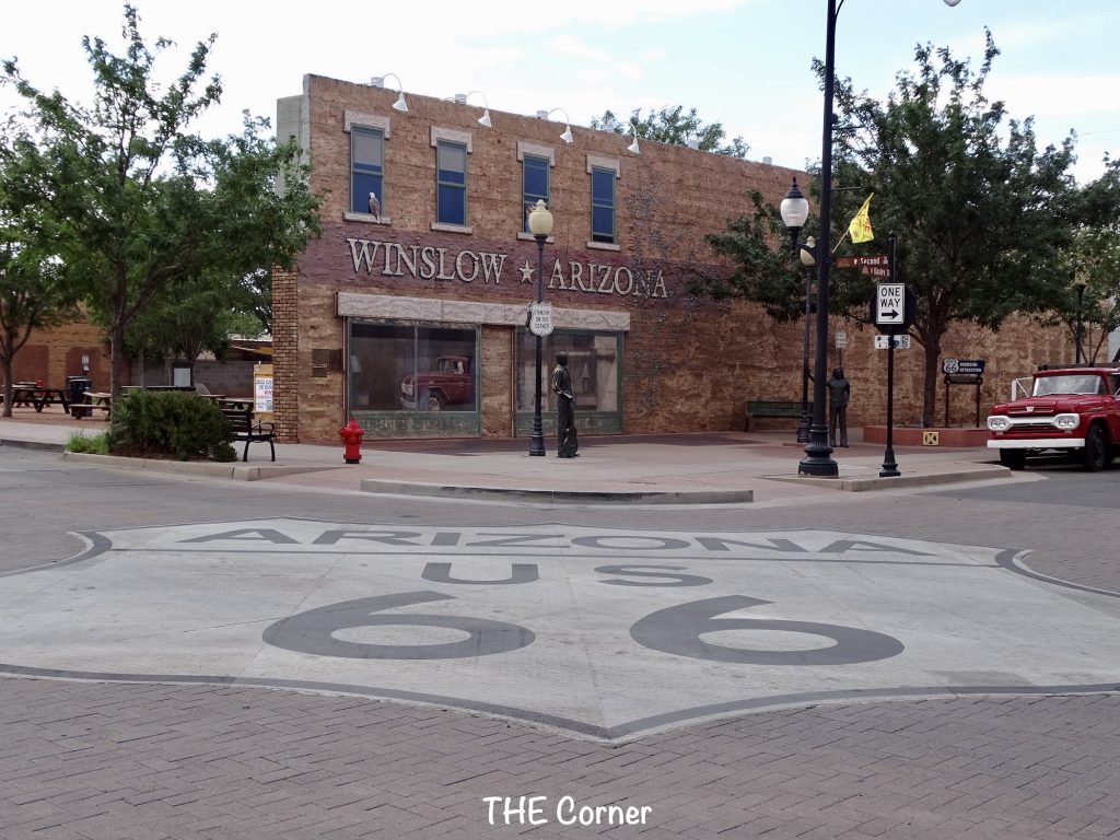
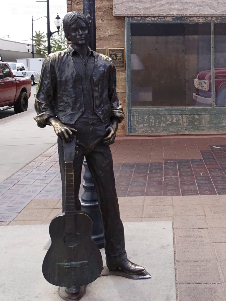
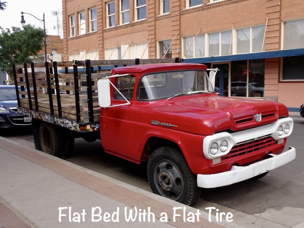
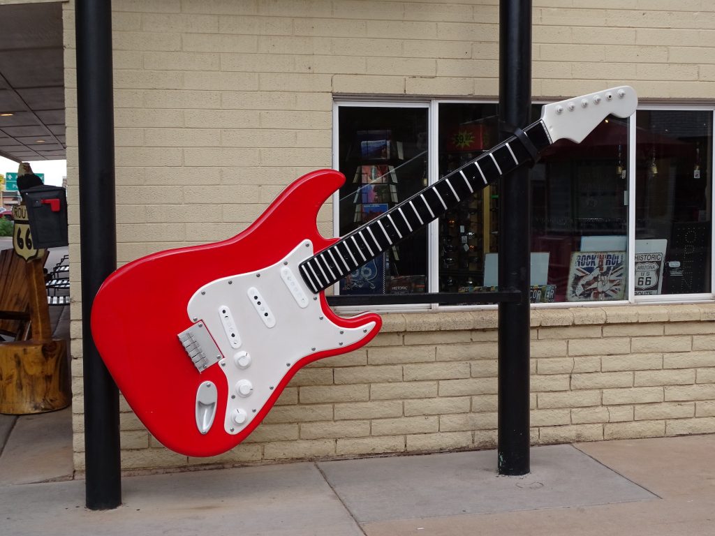
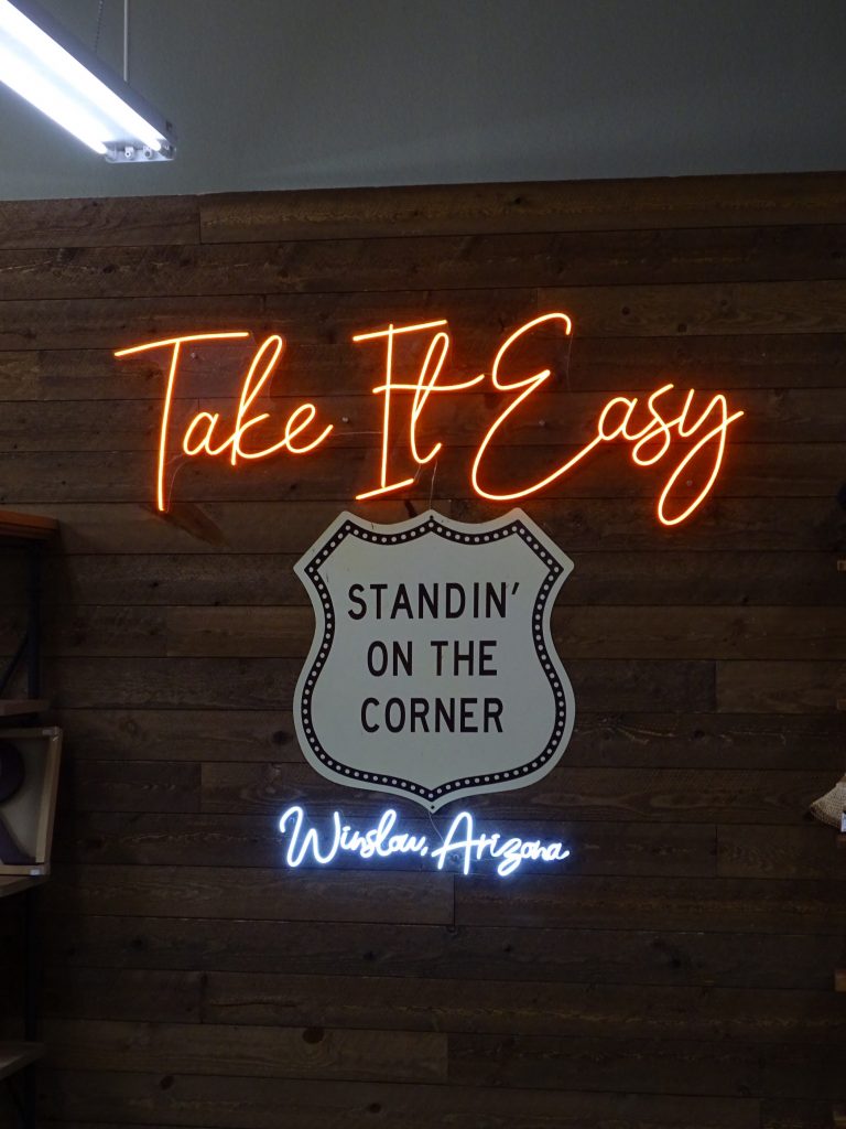
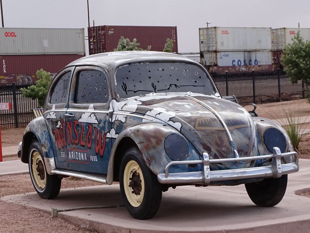
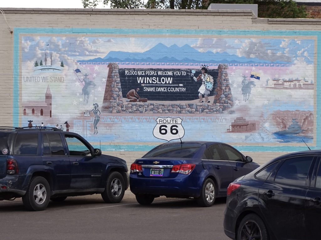
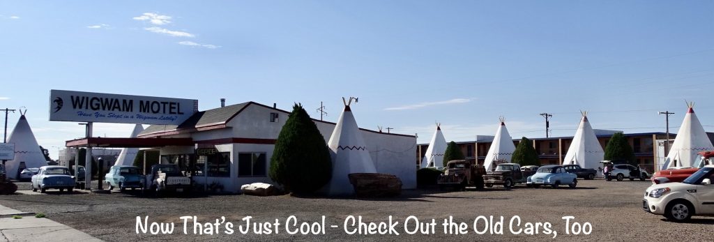
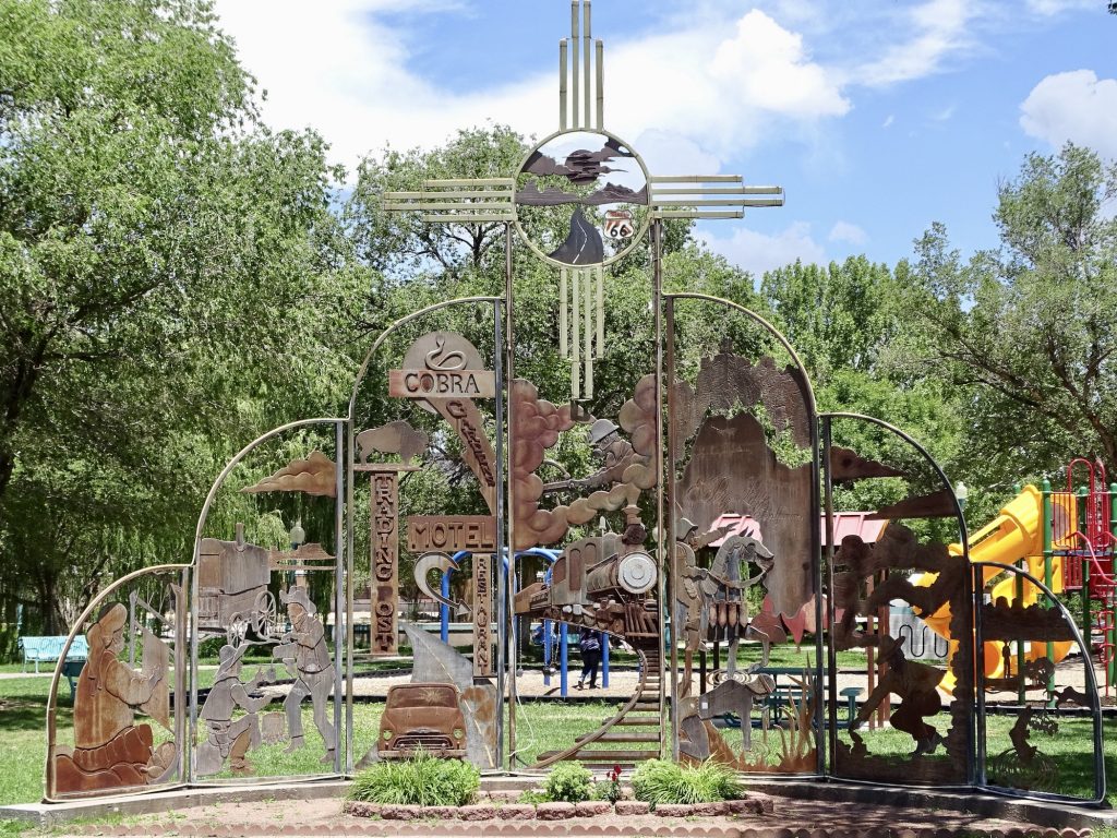
Next we headed into town for three reasons. The first was to pick up oil change supplies. The second was so that I could stand on a corner. No, it’s not a new career choice. It was THE CORNER! You know…”Standin’ on a corner in Winslow, Arizona, such a fine sight to see; It’s a girl my Lord in a flatbed Ford, slowing down to take a look at me.” Mr. Wonderful (MW) is not an Eagles fan, which possibly points to a serious flaw in his character, but I have always been a fan. After checking out the mural and statues, we walked through a gift shop, then went to find the third reason…supper. Relic Road Brewing was just across the street. Surprisingly, they don’t actually brew anything, but do serve beer from a lot of Arizona brewers. The food was very good…I had a steak quesadilla and MW had the sausage platter. That man has a cast iron stomach! I also tried the Prickly Pear Lemonade…yum! By the time we headed back to Petunia, we were both ready to put our feet up. What I almost forgot to mention, though is the heat…it was in the upper 90s. Not good!


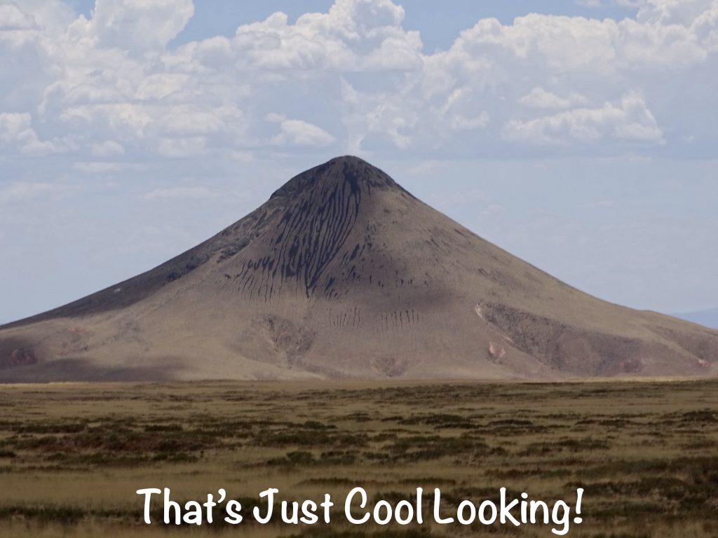
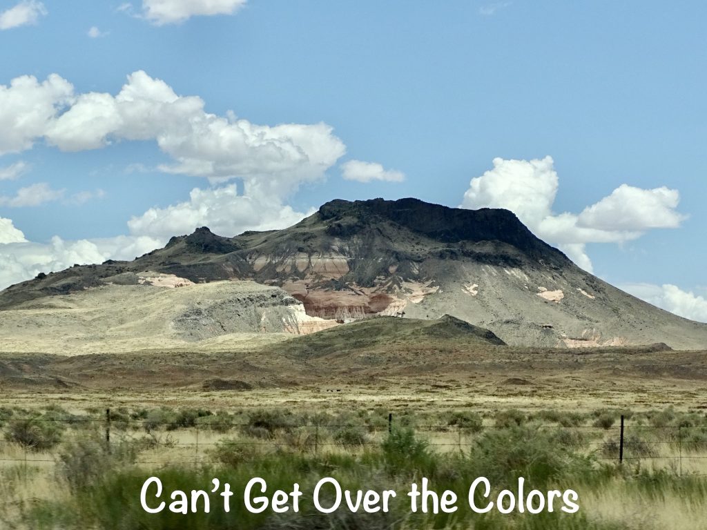
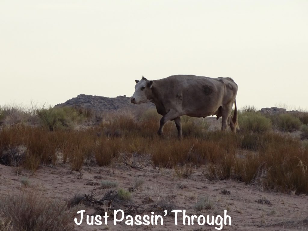
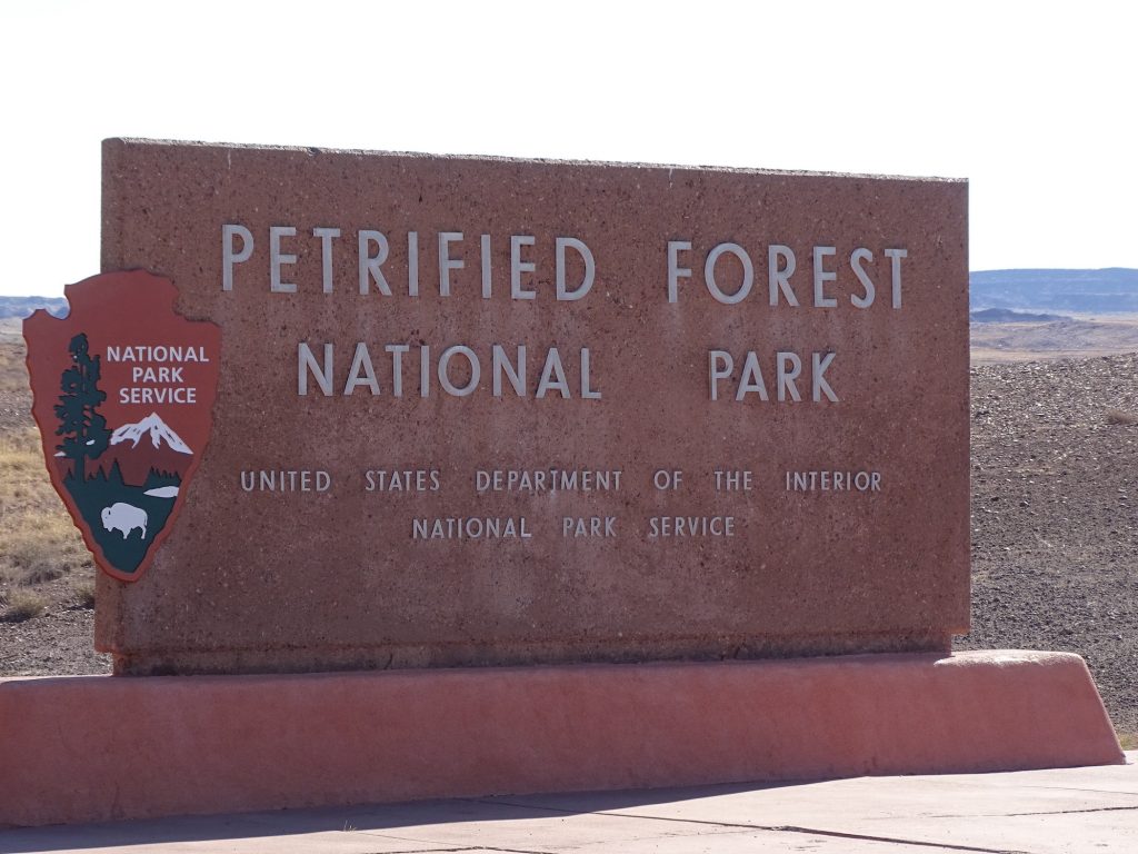
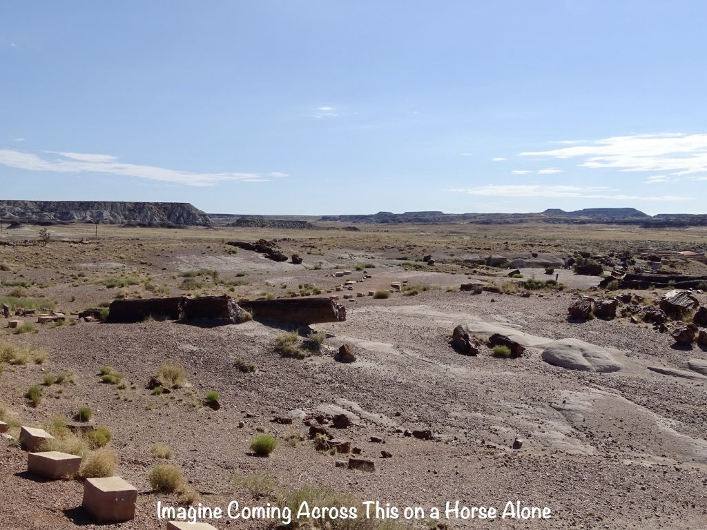
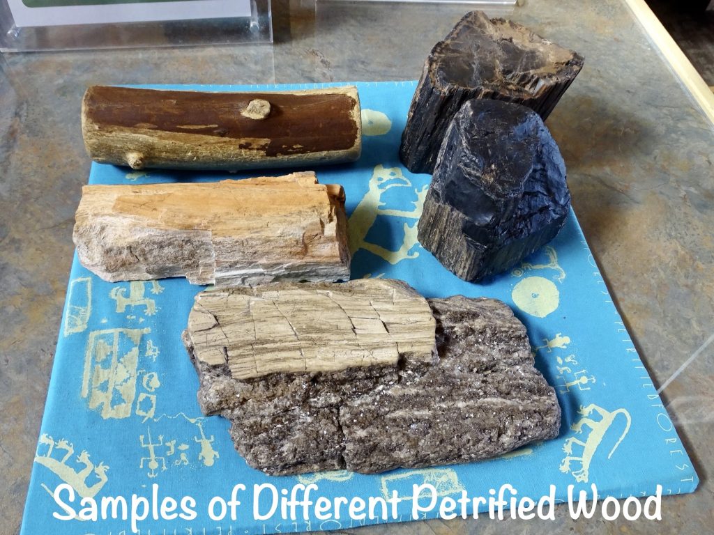
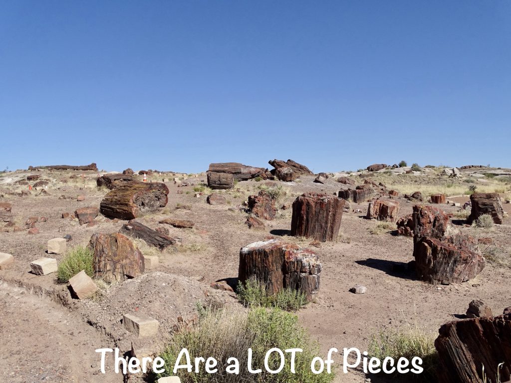
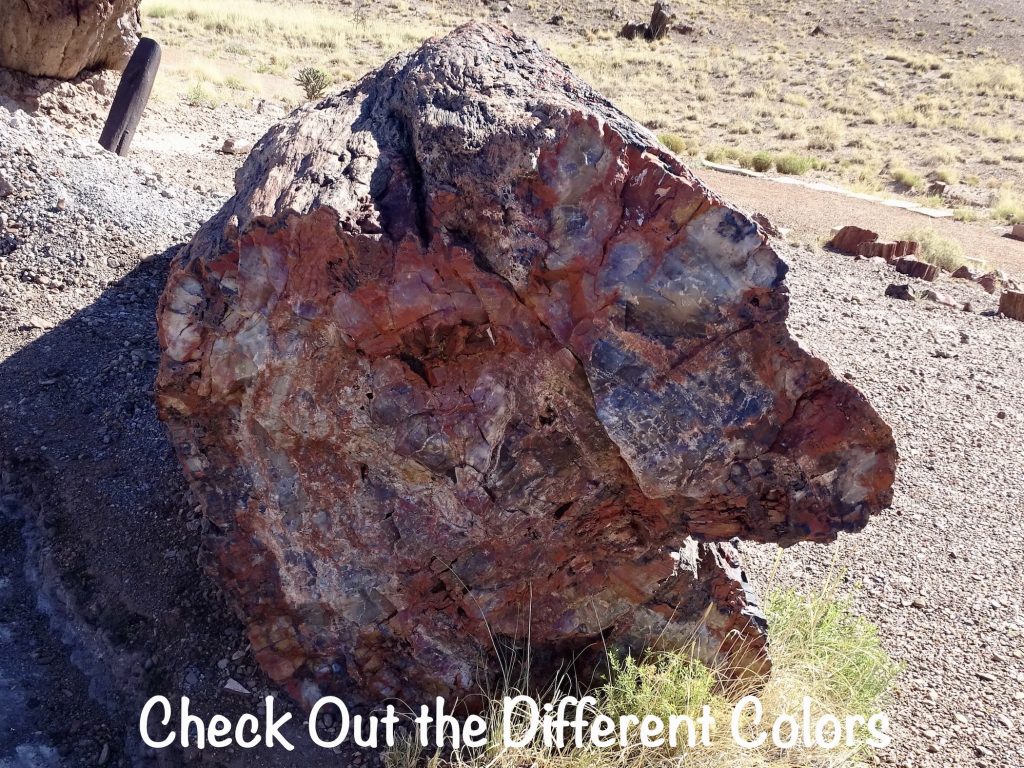
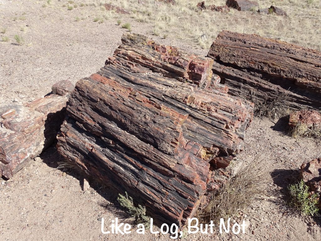
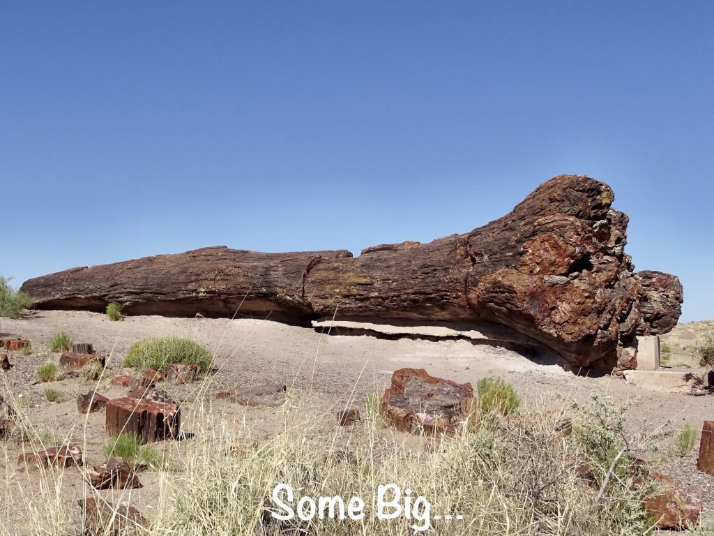
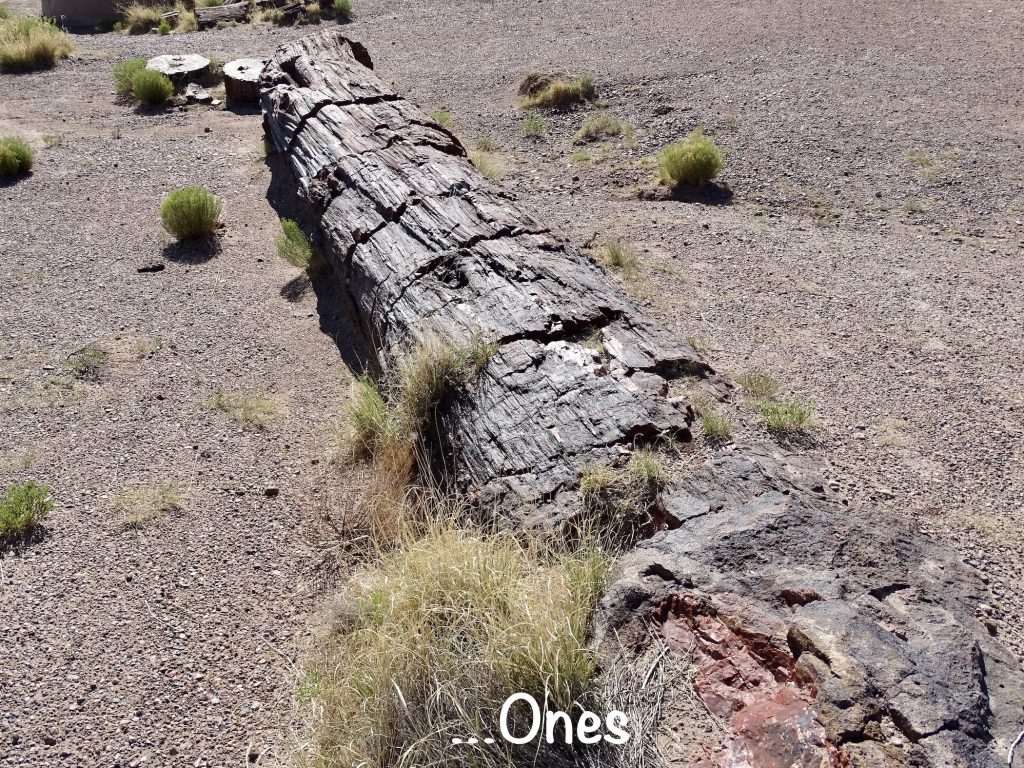
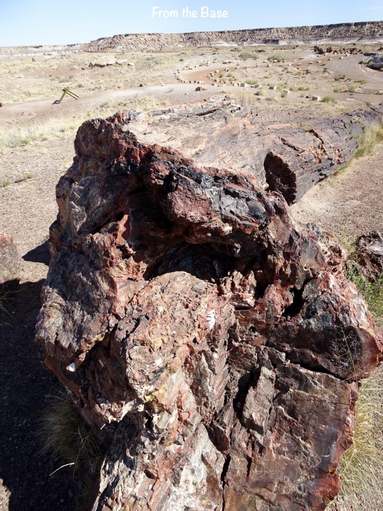
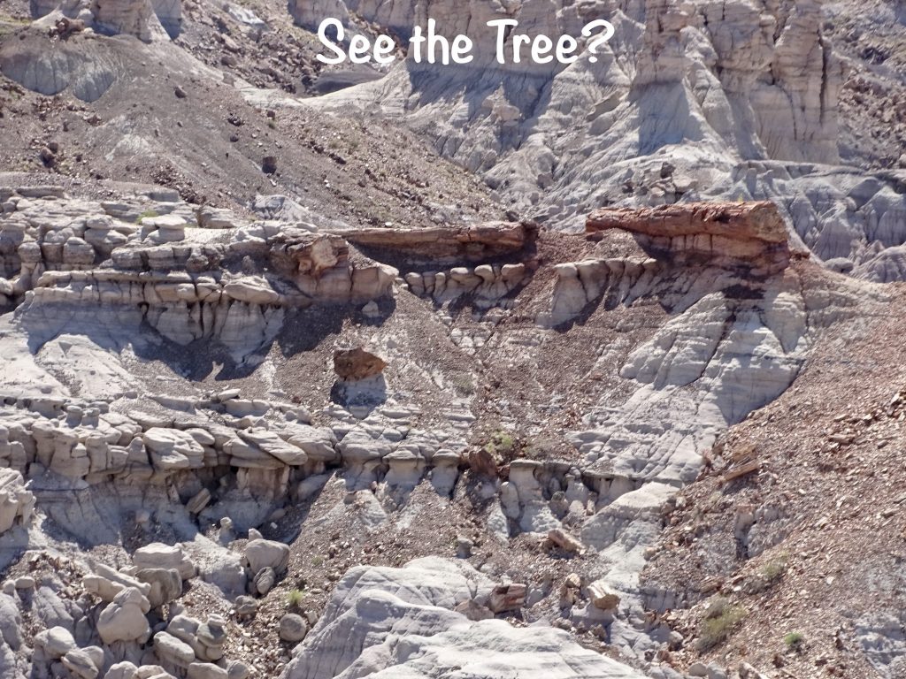
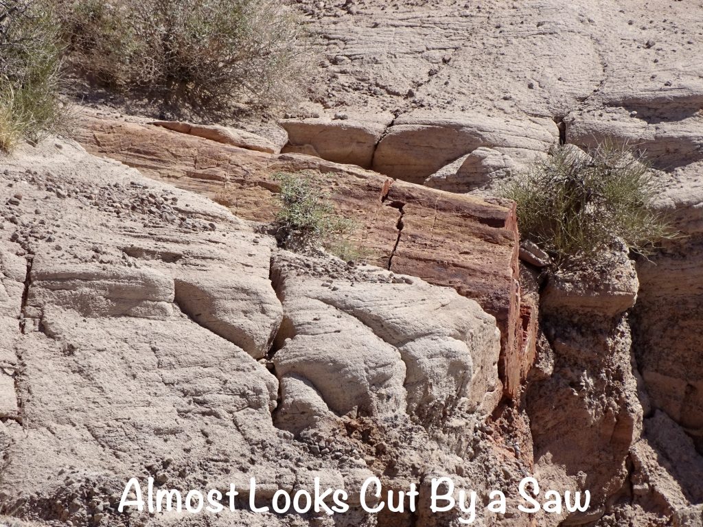
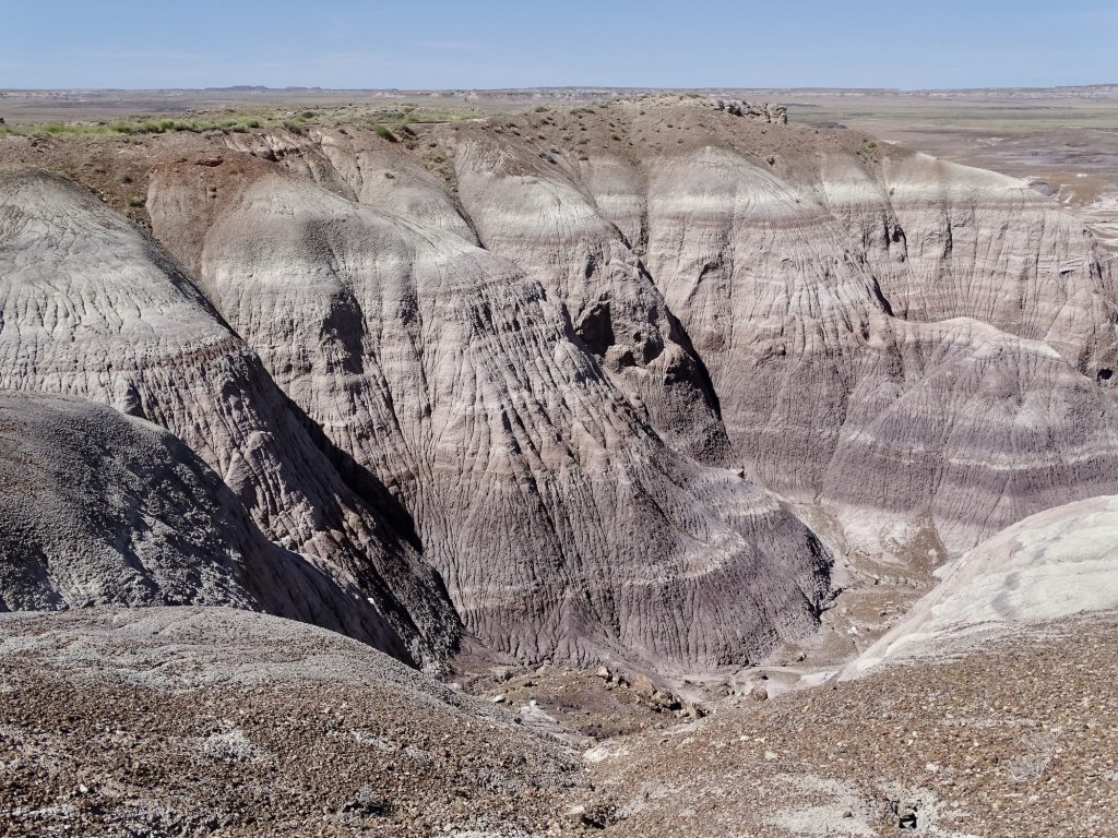
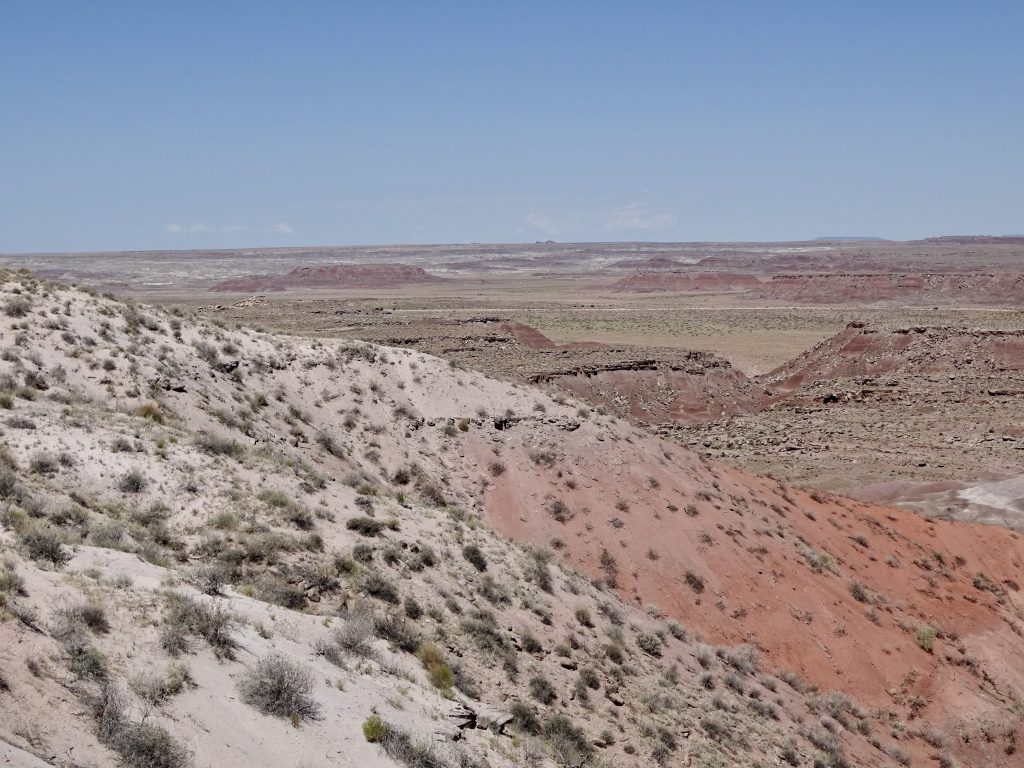
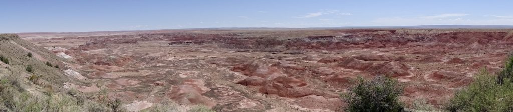
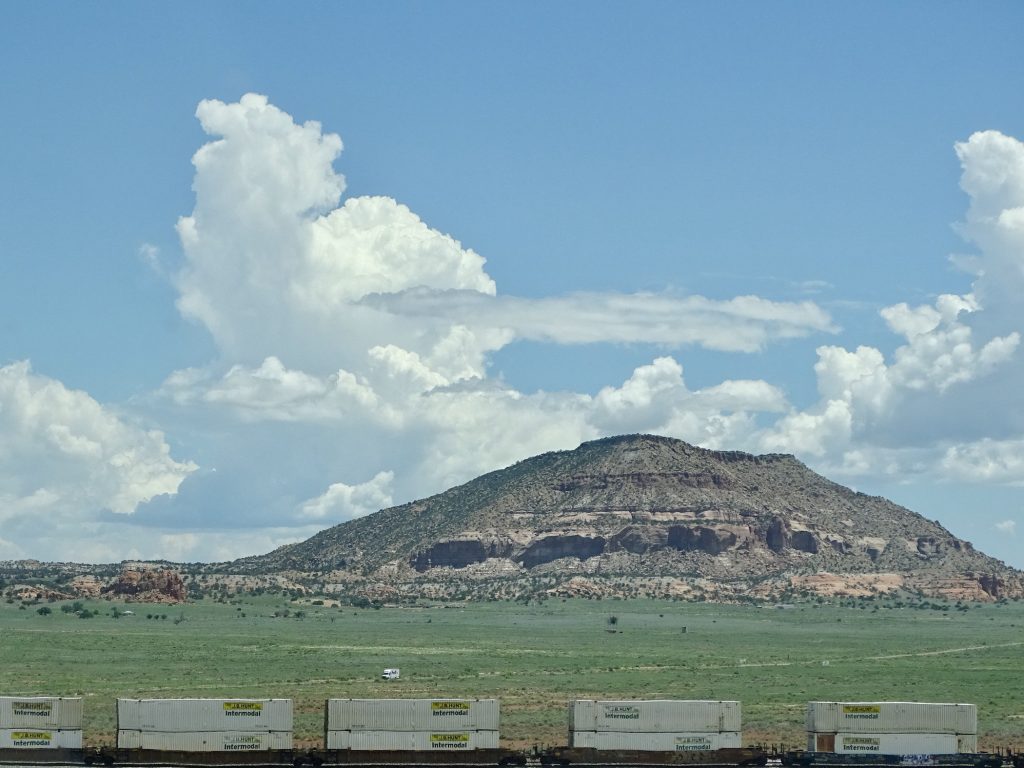
On Tuesday, MW was up early to take care of the oil change, which he can do without anyone knowing he’s out there. As I was getting dressed, I kept hearing a cow very close by. I opened the door, and there she was. I LOVE open range country! After that, we headed out to another great place…Petrified Forest National Park. In 1906, President Theodore Roosevelt signed the Antiquities Act which gave the President authority to declare areas as national monuments to protect natural, cultural, and scientific features. This park was the second one designated in December 1906, and then became a national park in 1962. (The first national monument was Devils Tower National Monument in Wyoming.) About 45 minutes east of Winslow, this park was pretty interesting. The only other time I’ve seen a petrified tree is in Yellowstone National Park. This place is covered with them in the form of petrified log fields! We started at the Visitors Center at the south end, which has museum exhibits and a store. A long, long time ago…we’re talking Triassic here…Arizona was a hot, humid, lush forest. There was also a LOT more water. Hard to imagine? Well, think in terms of tectonic plates moving around, and the area that is now Arizona being at another latitude. That’s where all of these trees came from. When these trees fell, they were covered by water, which protected them from decay. Moving water also buried them in sediment. There they soaked up groundwater and silica from volcanic ash and crystalized over time into stone, specifically quartz. Due to different minerals in the mix, they are a variety of beautiful colors. No kidding. We took the 1/2-mile Giant Logs Trail at the Visitor Center, which circles up the hillside through hundreds of log pieces.
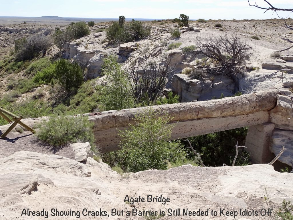
Next we drove north on the park road. As noted above, water is a key element in the creation of fossilized trees. Later, water is what uncovered them and showed them to the world. At Agate Bridge, water has carved out a gulley under one of these trees. In 1917 a concrete support was added to aid in preservation, but the fact is, water will eventually destroy it. As the gully gets bigger, the entire structure will collapse and be buried or washed away. “In the world there is nothing more submissive and weak than water. Yet for attacking that which is hard and strong nothing can surpass it.” ~Lao Tzu
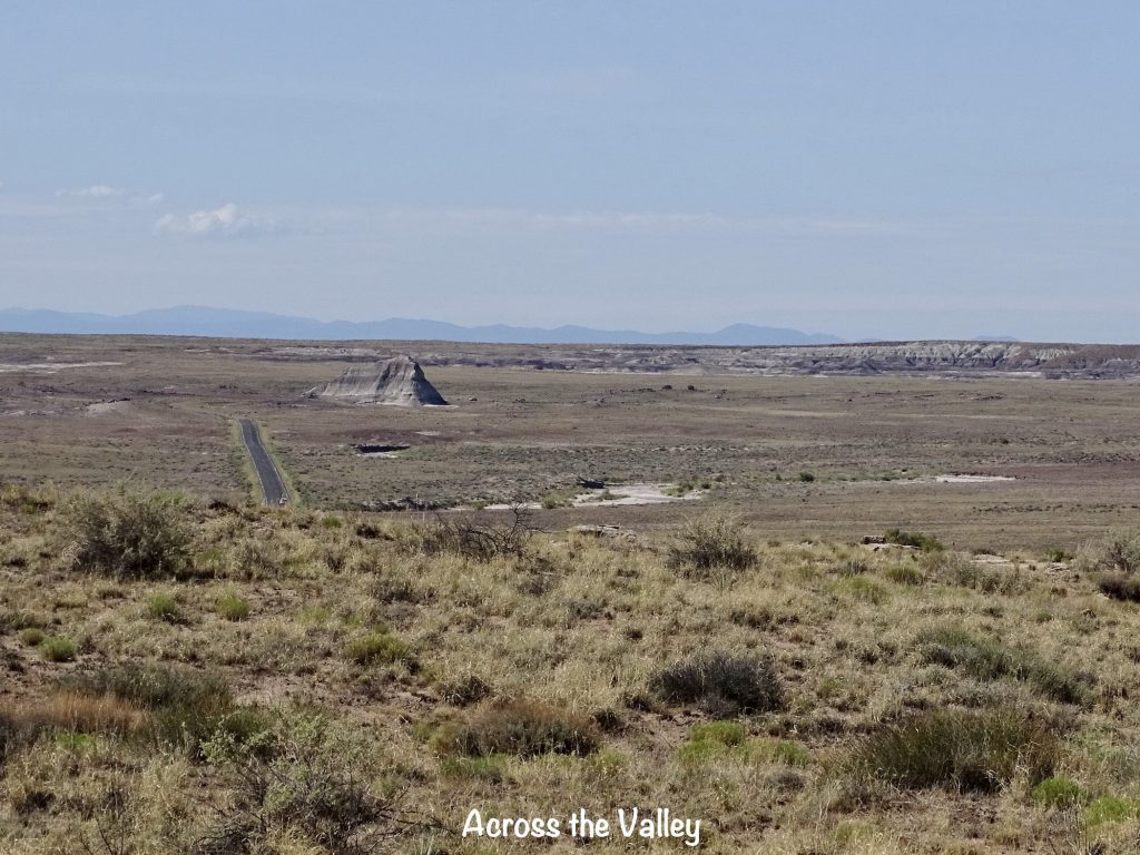
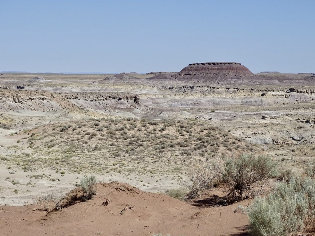
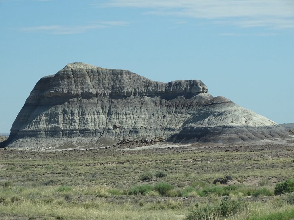
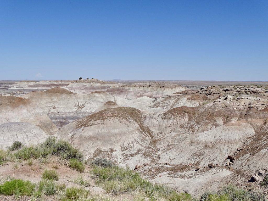
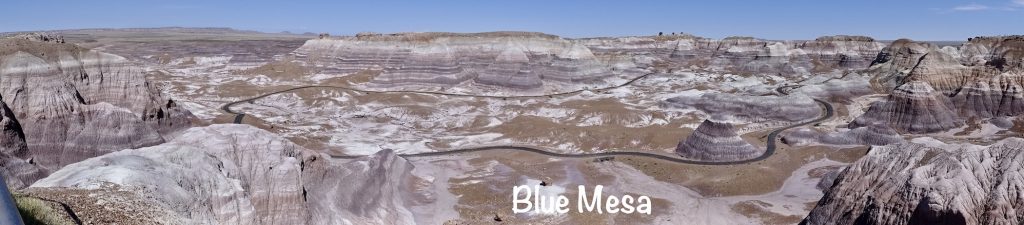
The next stop was Blue Mesa. The rocks there have a distinctive purple tint that, sometimes appears very blue. From the overlook you can see several fossilized trees, some sticking out of rocks along the edges. There is a nice trail in the basin, but it was too hot for that by the time we got there.
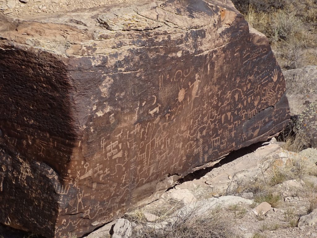
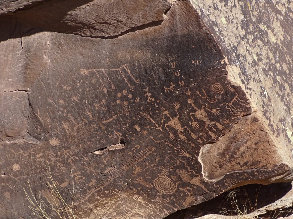
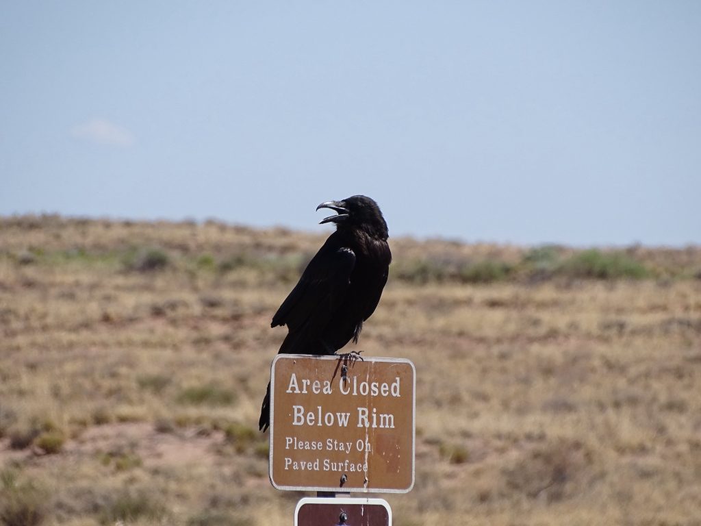
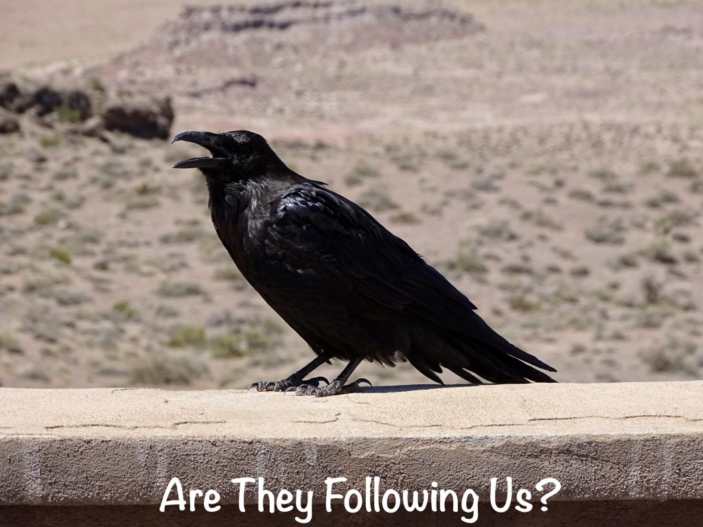
Next up was Newspaper Rock. There, giant boulders are covered with petroglyphs dating back a couple thousand years. They were very interesting and much more clear than the ones we saw in Texas a few months ago. While we were there, a pair of ravens showed up, cawing and keeping an eye on us. One looked like he was trying to bring attention to the sign he was sitting on. “Caw, caw…stay on the path, stupid!”
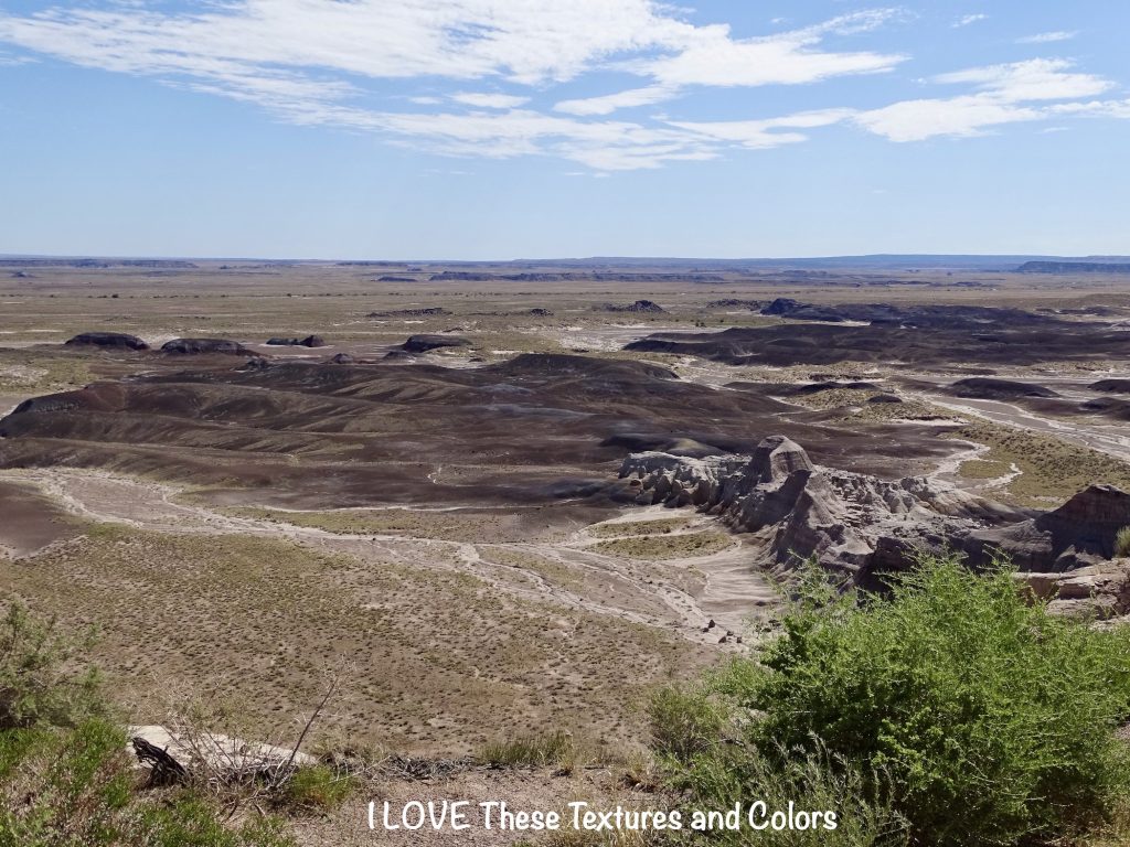
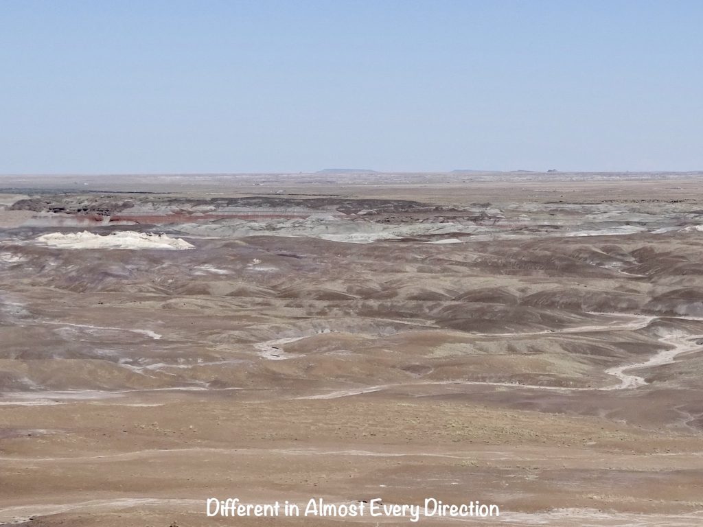
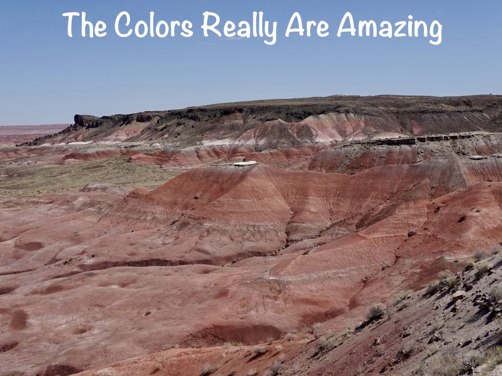
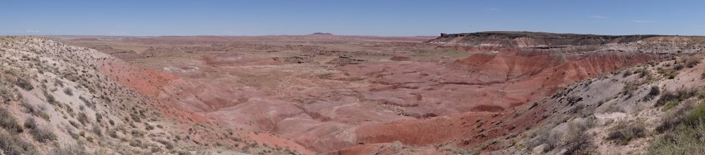
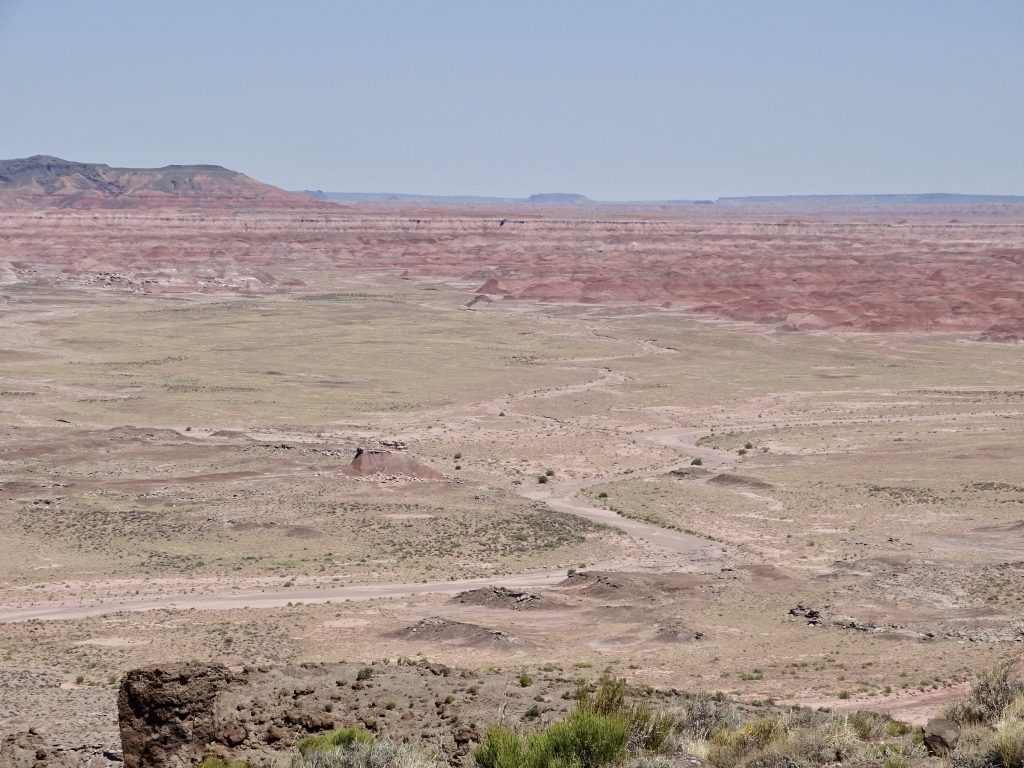
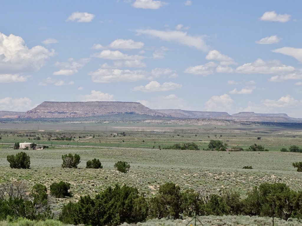
At the northern end, the park runs into the Painted Desert that we drove through to get to Winslow the day before. There is another overlook with lots of color. Interestingly, a pair of ravens were cawing at us there, too. Hmmmm. Can anyone say “The Birds“? The drive through the park is filled with diverse scenery, cool and unique features, and totally worth the time. On the way home, we stopped in Holbrook for Chinese food. (It was both buffet and menu order, but was only so-so.) Then it was back to Petunia for a little relaxation. Well, that and writing. 🙂
IRRITATING NOTE: Although there are occasionally areas open for roaming, at almost all of national parks we’ve visited, there are trails and walks that they want you to use, many of which are very extensive. There are also other paths left by visitors who felt they just had to take a different route, climbing up through the trees or over the rocks. At Bryce Canyon, a whole group of people on a bus tour were wandering all over a hilltop, totally ignoring the signs posted to stay on the path. In that case, the park is trying to reintroduce vegetation to help with erosion control. (When one person walks a path through the woods, it doesn’t do much. When many do it, though, it removes some of the top layer and compacts the soil that is left, making it nearly impossible for seeds to sprout, which in turn leaves nothing to anchor the soil.) In other cases, the existing vegetation or geological features are fragile, and preservation of the native plants and treasures requires care. Another reason is that, certain areas are truly dangerous, such as the cliff last week at Zion and the area around the geysers in Yellowstone National Park. (You know that a LOT of people have died or been seriously injured stepping off of the walkways out near a geyser and breaking through the surface crust?!) As we were heading back to the parking lot at Agate Bridge, a couple and kid were walking in. The woman saw the bridge and said “How do we get down there?” The man said, “I don’t think they want you to go down there.” Her response: “Sounds like a challenge!” In that case, it could have been for multiple reasons, including her safety. Whatever the reason, we (you and me) are paying the park service to maintain these magnificent places for us. I don’t know about you, but it irritates me to pay for stuff and have others not respect it. So, when she started down, I spoke up and said she needed to stay on the path. She wasn’t happy with my two cents, and I did’t look back to see what she actually did, but at least I tried.
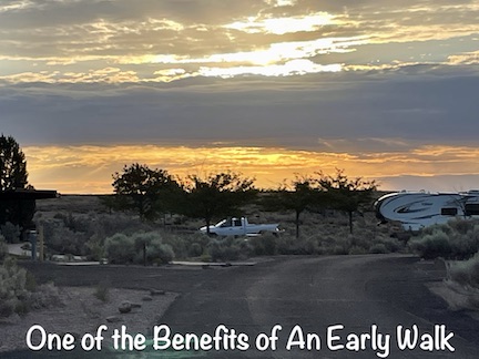
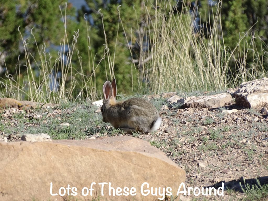
Wednesday started with a nice half-hour walk. The only animals we saw were jackrabbits, but I did hear something that sounded like a cat of some kind. We picked up some trash on the way back. There is someone out there who thinks the state park is a giant beer can receptacle.

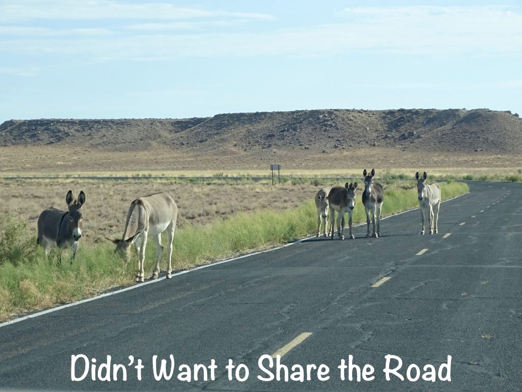
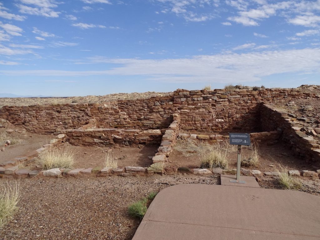
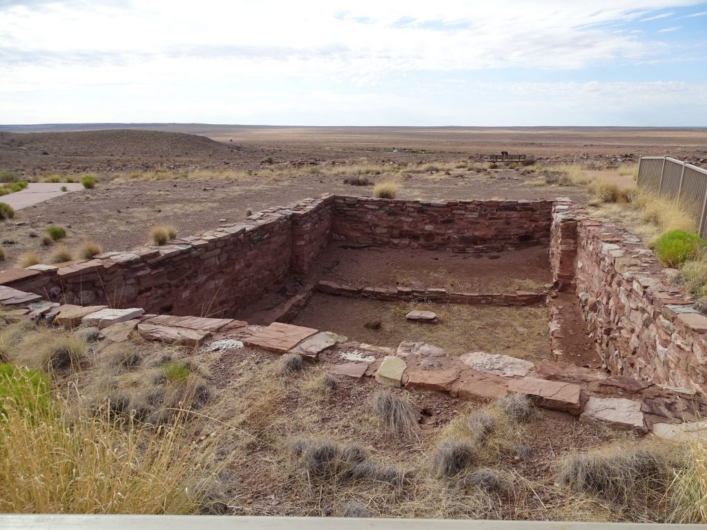
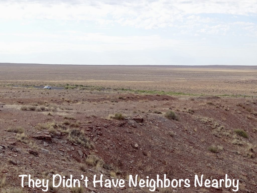
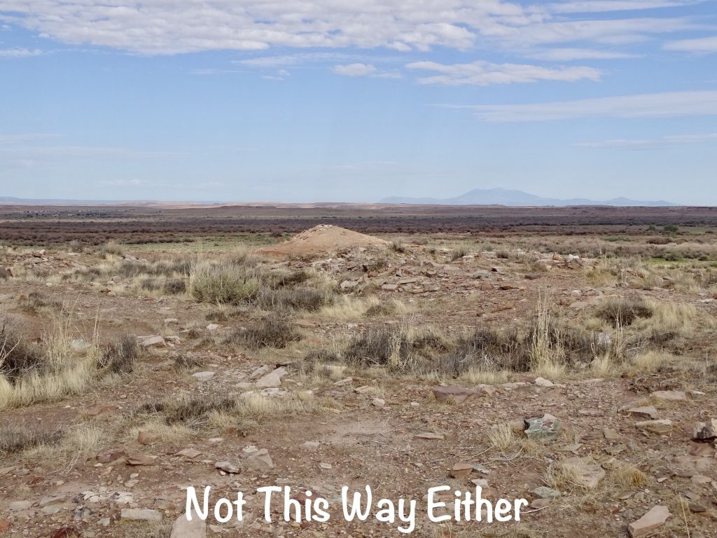
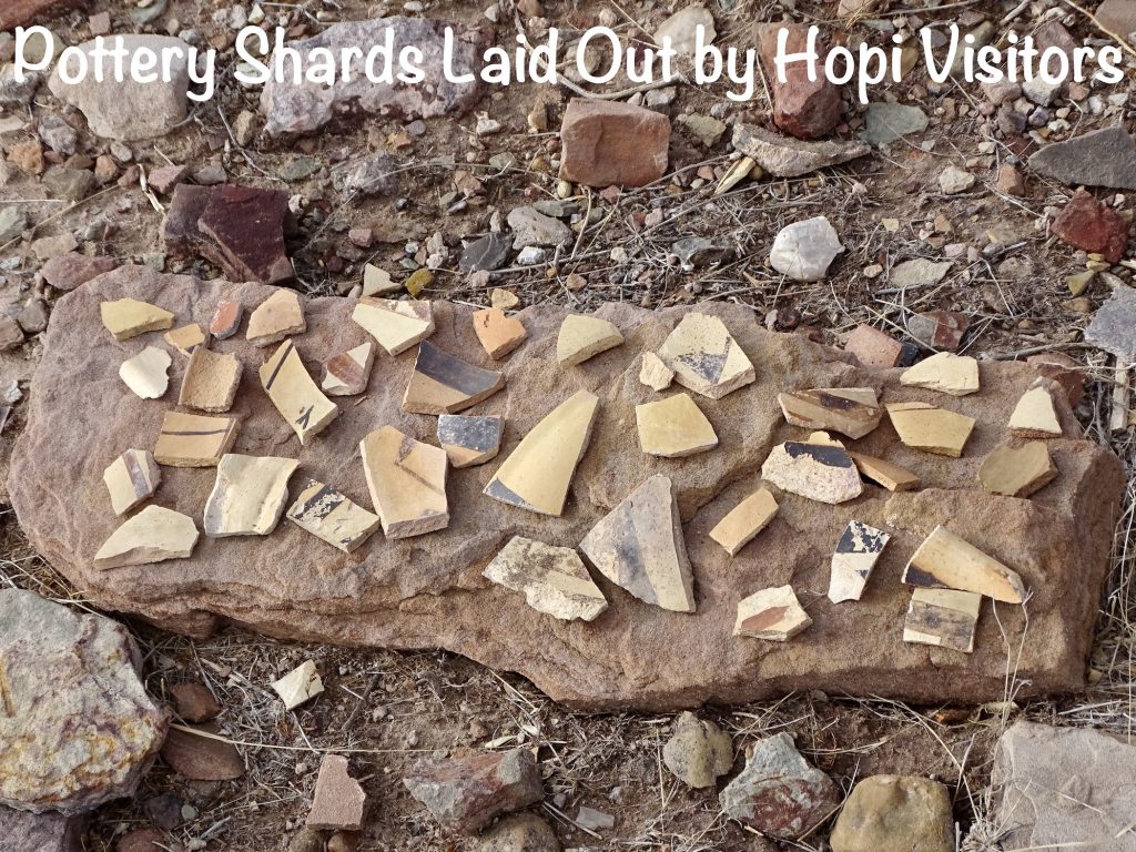
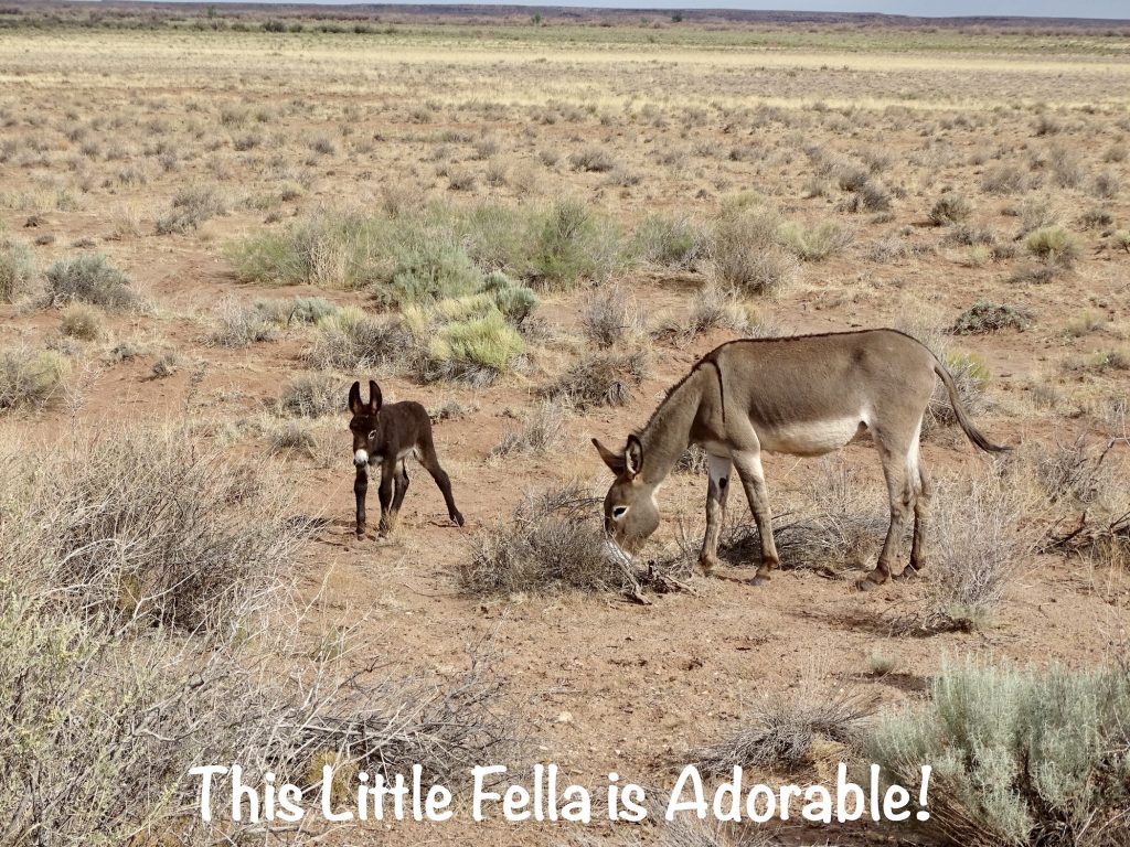
Back at Petunia, we got cleaned up and drove over to the other side of the park to check out Homolovi II, an archaeological site dating back to the 14th century. Based on architecture, pottery styles, and art motifs, this community of an estimated 1,200 to 2,000 rooms is believed to be the home of the ancestors of the present-day Hopi people. All that is left of the pueblos is crumbled ruins, but you can see the outlines of many areas. Sadly, there are also giant holes where looters have searched for treasures and damaged sacred burial sites. The people of this pueblo, the Hisat’sinom, farmed in the Little Colorado River valley, growing corn, beans, squash, and cotton. Later they moved north to join those already living on the mesas. There is another site, Homolovi I, in the park as well. Today the Hopi people make pilgrimages to these sites to honor those who came before. This one is easily accessible on a paved loop. It was still cool outside when we walked it, too. Bonus! On the drive out there and back, we passed lots of cows and a whole herd of donkeys. There were a couple of little ones in the group that were just adorable!
After dropping MW back off at the campground, I headed into town to take care of the laundry, do a bit of writing, and get some groceries. I also scoped out a car wash so that we could clean off Petunia on the way out of town. After that, it was back to MW and a bit more writing and some tv.
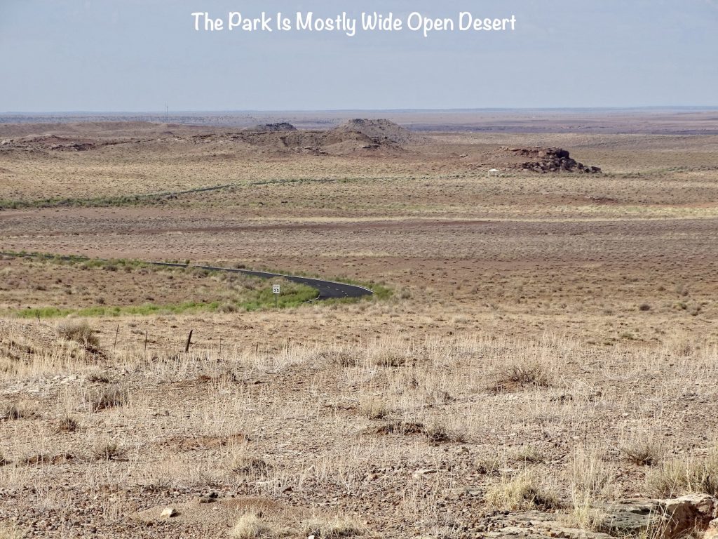
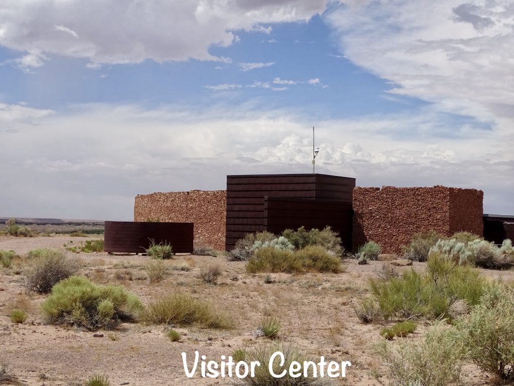
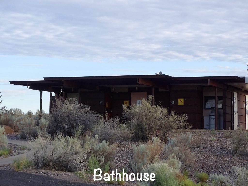
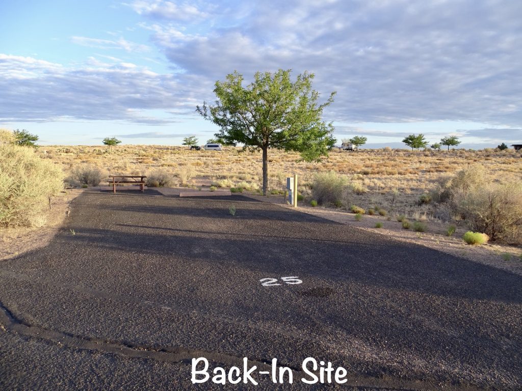
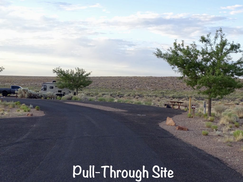
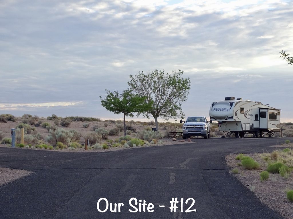
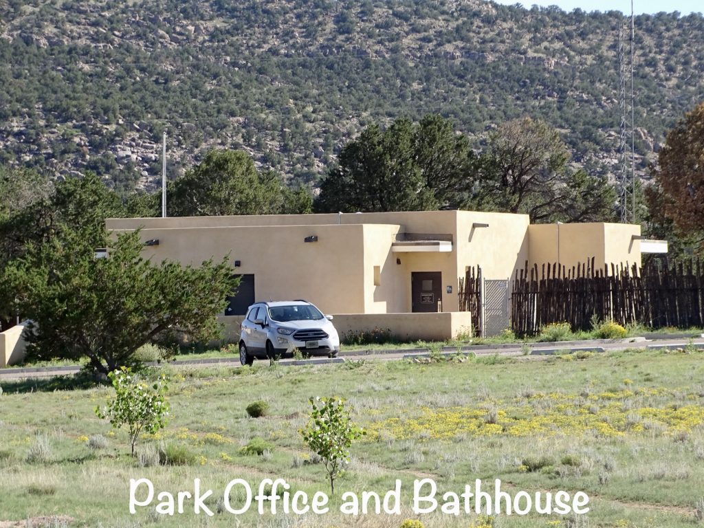
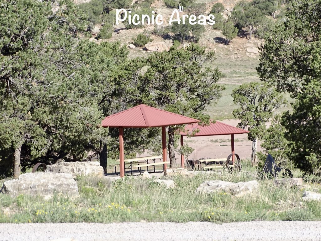
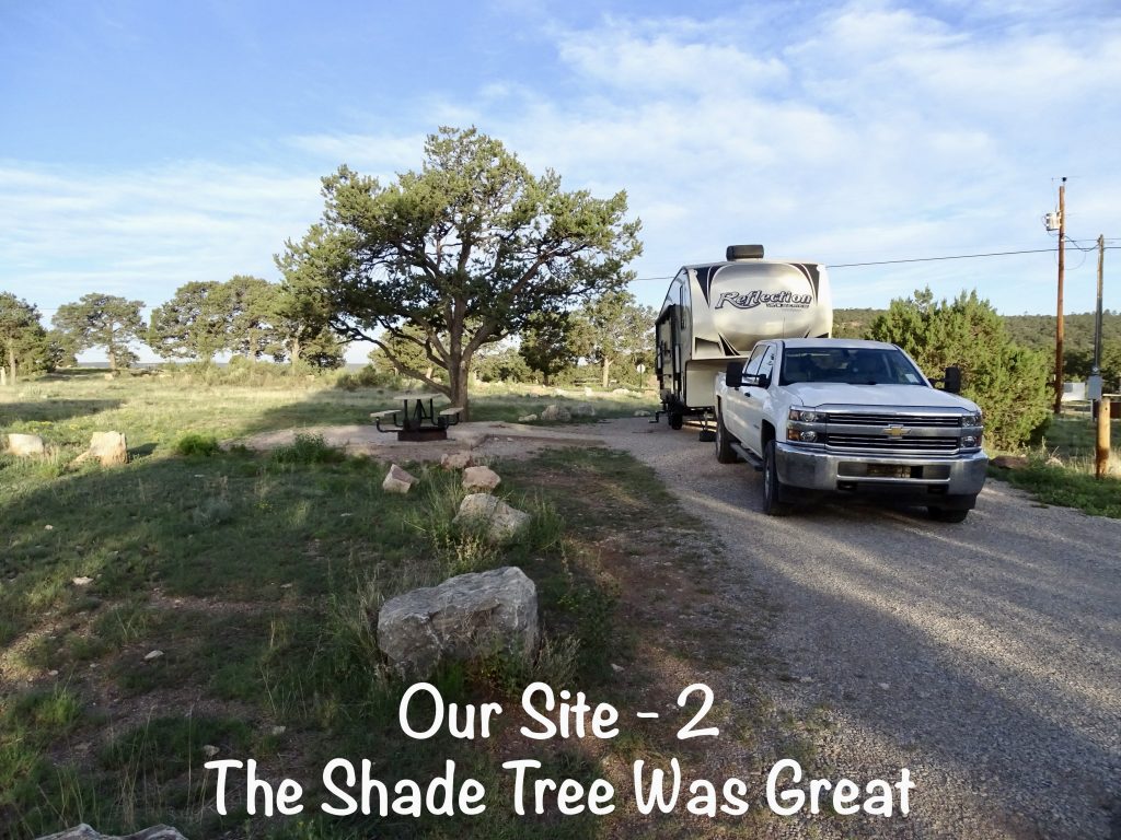
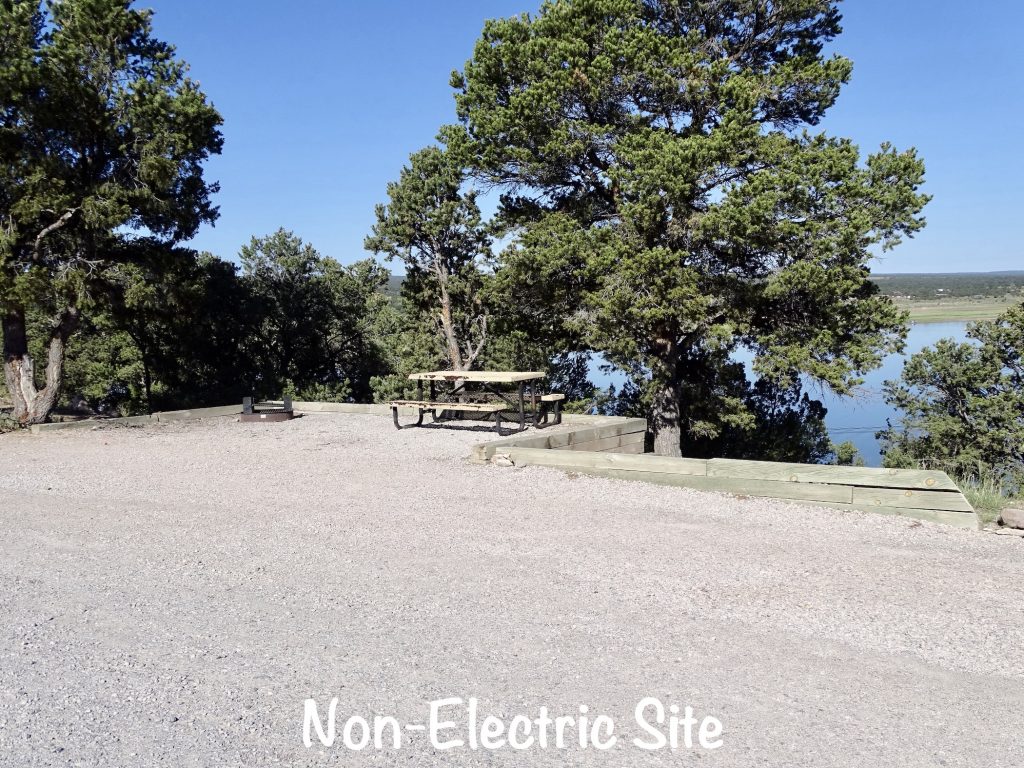
Homolovi State Park is over 4,000 acres of desert that includes significant pueblo ruins. The name means “Place of the Little Hills”, and there are several archaeological sites relating to the ancestors of the Hopi tribe and dating from 620 to 1400 AD. Also of significance is the cemetery for the town of Sunset. It is the only remaining evidence of the Mormon community, which had the first post office on the Little Colorado River, and was abandoned in the 1880s. The Visitor Center includes a park store and museum, and there are covered picnic tables scattered around the park. The Winslow Homolovi Observatory is also located near the Visitor Center. There are also several trails in the park. The campground has a total of 53 sites on two loops, and large RVs are welcome. The 11 pull-through sites have 30- and 50-amp with water. Most of the other sites have 30-amp and water, although there are 9 non-electric sites. One bathhouse serves both loops. The bathroom side was clean, but the shower side was in bad shape with only two open out of four, and those were in bad shape…missing tiles, broken stuff, etc. It is located just a few miles from Winslow, Arizona where there are several restaurants and stores. Meteor Crater and Barringer Space Museum is about a 30-minute drive, and Petrified Forest National Park takes about 40 minutes. Cell signal was good for both Verizon and AT&T, and we had plenty of over-the-air tv channels. The park layout was nice, and despite being fairly close to I-40, it wasn’t loud at all. We would definitely stay again, but families with children may not find enough to do. For this stay in July 2022, we paid $95.00 for 3 nights.
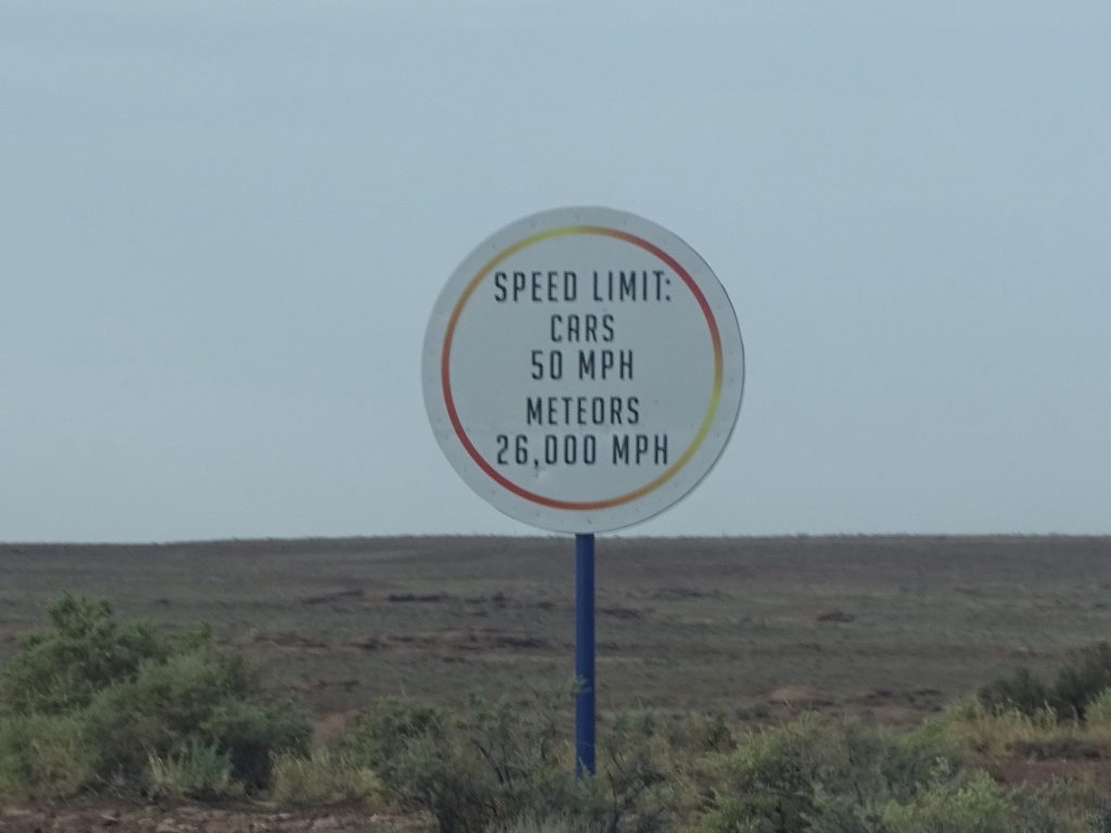
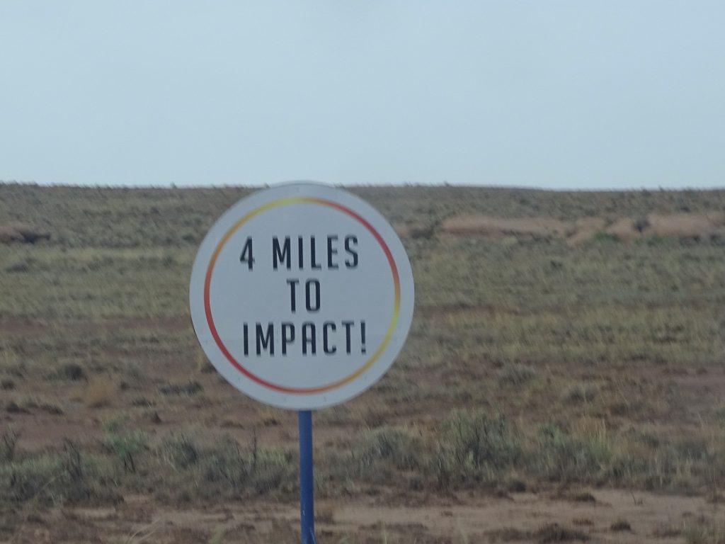
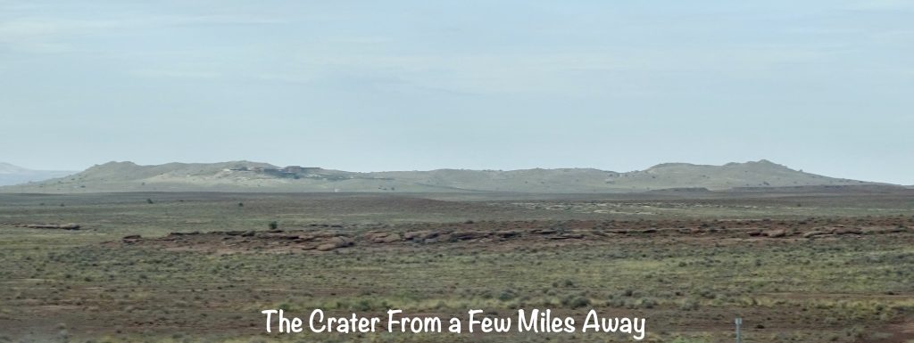
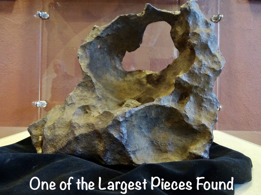
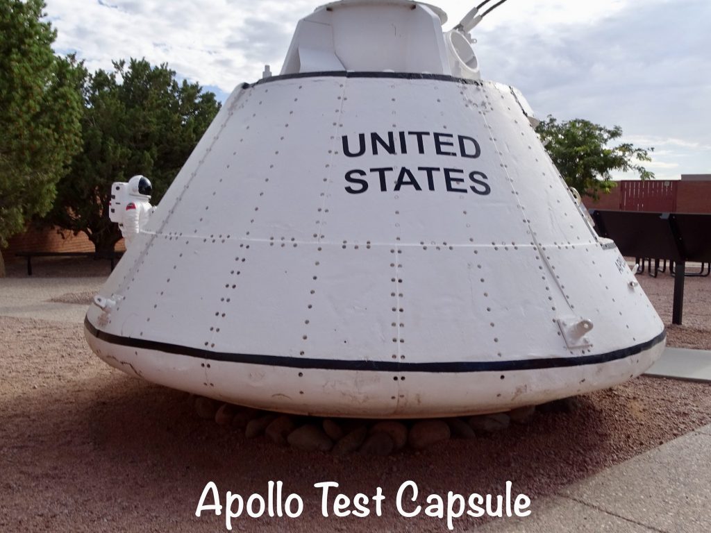
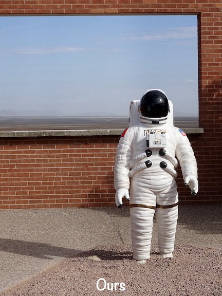
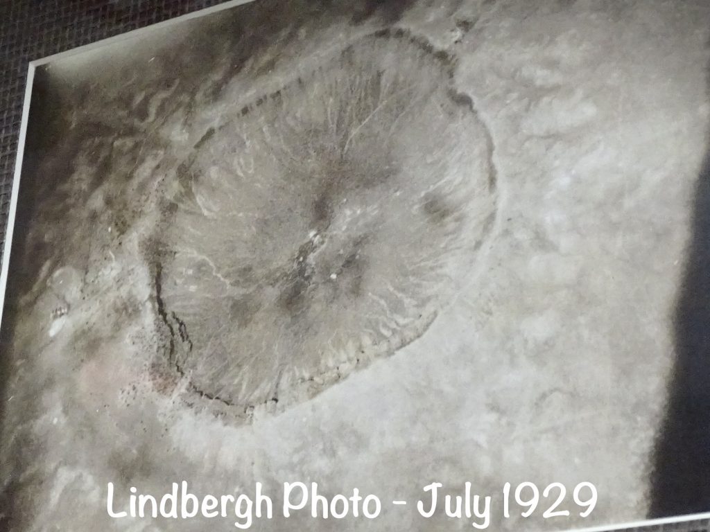
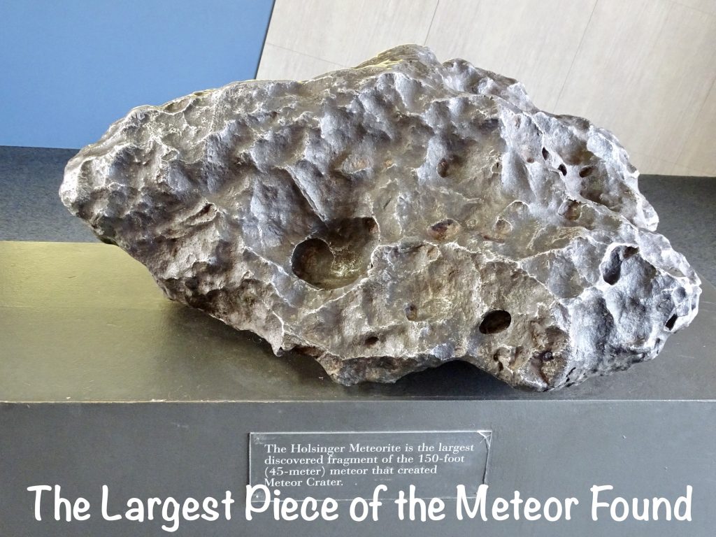
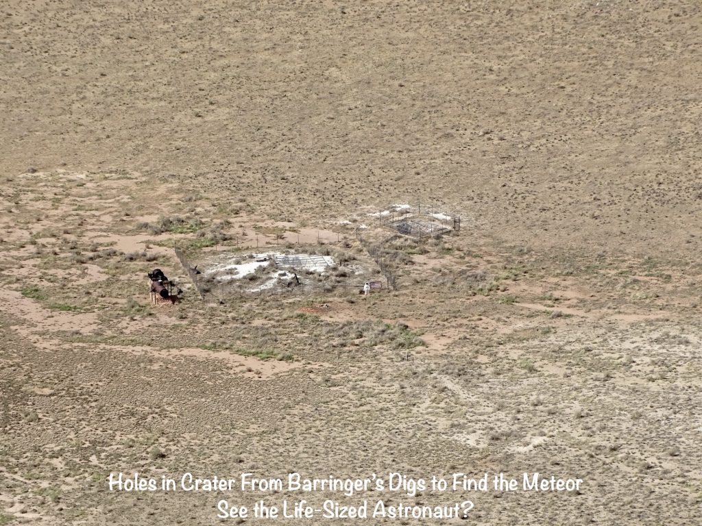
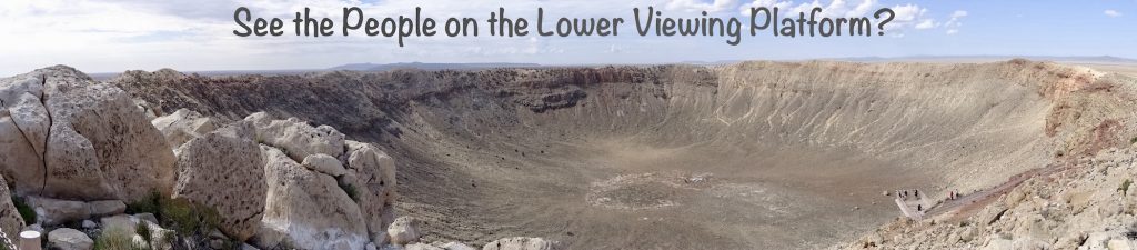
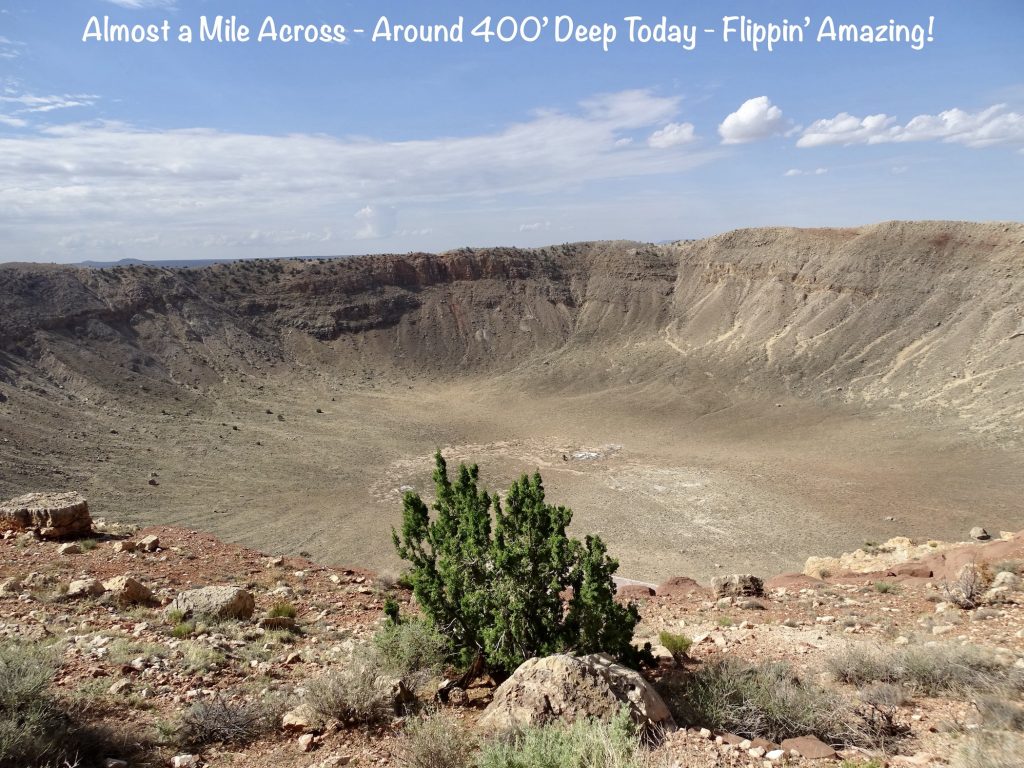
Thursday we were up and out about 7 AM. Our first stop was a bath for Petunia at the car wash in Winslow. While it wasn’t our normal deep clean and wax, at least it got all of the mud spots off from the mixed rain/dust storm on Monday. Then we hit I-40 heading west. I know. I know. We are supposed to be heading east, BUT MW found something cool for us to take a gander at about 30 minutes away. It was the Meteor Crater and Barringer Space Museum. Long before any of us were here, a piece of space rock about 150′ wide came crashing through our atmosphere and landed in the Arizona desert. Weighing several hundred thousand tons and traveling at an estimated 26,000 mph, it wasn’t a soft landing. The resulting explosion rocked the area with a force 150 times greater than an atomic bomb or equivalent to 20 million tons of TNT. It sent up an enormous mushroom cloud of molten metal and rock. Can you imagine?! For miles in all directions, the shock wave destroyed everything on the flat landscape. Most of the meteorite melted or was vaporized upon impact, but tiny fragments were spread in the crater and out into the surrounding area. When the dust settled, there was a hole in the ground almost a mile across and about 550′ deep. Debris from inside the crater blasted out in all directions and mounded up around the edges of the hole, creating the appearance of a hill or mesa from a distance. In the area around the crater, the shock wave that followed destroyed everything. The first mentions of this place were in the lore of local native tribes, but there was no written record until a scout for General Custer came upon it in 1871. Later, the first pictures of the crater were taken from above by Charles Lindbergh. Scientists and lay folk alike believed it to be the result of volcanic activity. That began to change in 1902, when Daniel Barringer, a mining engineer, visited the site and was convinced that it was formed by a meteorite. He also thought the giant culprit was below the surface in the pit. He was right on the first count, but spent 26 years searching with no luck on the second. Today his descendants lease the site to Meteor Crater Enterprises, Inc., which give schmoes like us access to this really cool place. Although you can see meteor craters in other places, you will not see a current one that is as well preserved. Almost forgot to tell you about the other space connection: From 1964 to 1972, the site was used for some serious science training for the Apollo astronauts prior to landing on the moon. Today astronauts still occasionally train at the crater. One other interesting note, it happens more often than you think. Every day about 1,000 tons…that’s 2 MILLION pounds…of space rock falls to earth. Most are small and slowed enough by the earth’s atmosphere to land harmlessly, often in oceans or remote areas. But occasionally, we notice: In 1954, an 8.5-pound rock crashed through a ceiling in Sylacauga, Alabama, bouncing around before striking Mrs. Elizabeth Hodges in the hip. (She is the only known human injured by a space rock.) In 1971, a .6-pound meteor crashed into a home and lodged in the ceiling. Then in 1982, a 6-pound meteor came through the roof of a house, incredibly, in the same town…Wethersfield, Connecticut. In 1992, a 27-pound meteorite slammed into a Chevrolet Malibu in Peekskill, New York, going completely through the trunk. What does all this tell us? Chicken Little was right…occasionally the sky is falling!
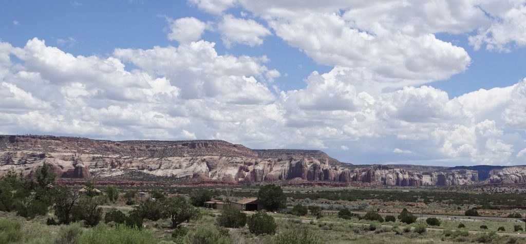
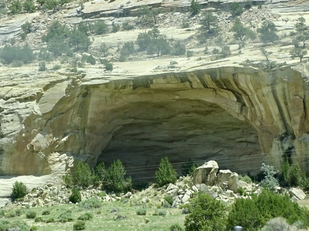
Back in the truck, we pointed Brutus east. Along the way we stopped at a gas station to use the air pump. It was FREE! Haven’t seen that in years. We were on the interstate almost all the way, so not too much to look at. At least until we neared the New Mexico border, where giant, colorful cliffs popped up again. In Gallup, we stopped for lunch at Fratelli’s Pizza Bistro and Ice Creamery…delicious! All that was left was the final leg southeast on I-40 to Prewitt, then south to Bluewater Lake State Park.
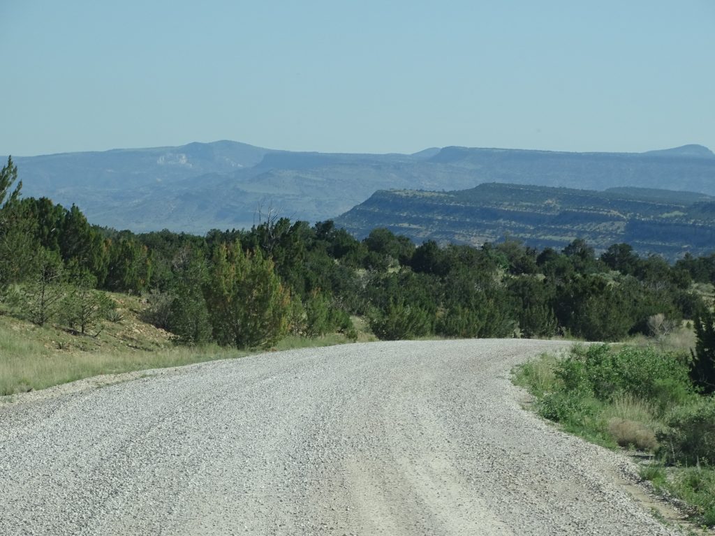
Friday morning I called the Hair Studio in Milan, New Mexico, and was thrilled when the owner, Celina, said she could take care of me at 2 PM. Awesome! It is so hard to find places to get my hair cut on the road! MW decided to go along when he found out there was a Blake’s Lotaburger across the street. The route takes you back over the mountain, so I got a few scenery shots on the way. We had lunch there first, then he dropped me off and went to wander at the Dollar General. He picked me back up after Celina gave me a terrific haircut…she goes on the “good” travel hair stylist list! On the way back to the park, we stopped in at Bluewater Outpost, which sells a lot of native and local stuff, to look for a gift and items for our Christmas baskets. That was pretty much it for the day, except for a LOT of writing and some bookkeeping work.
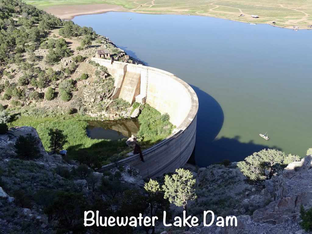
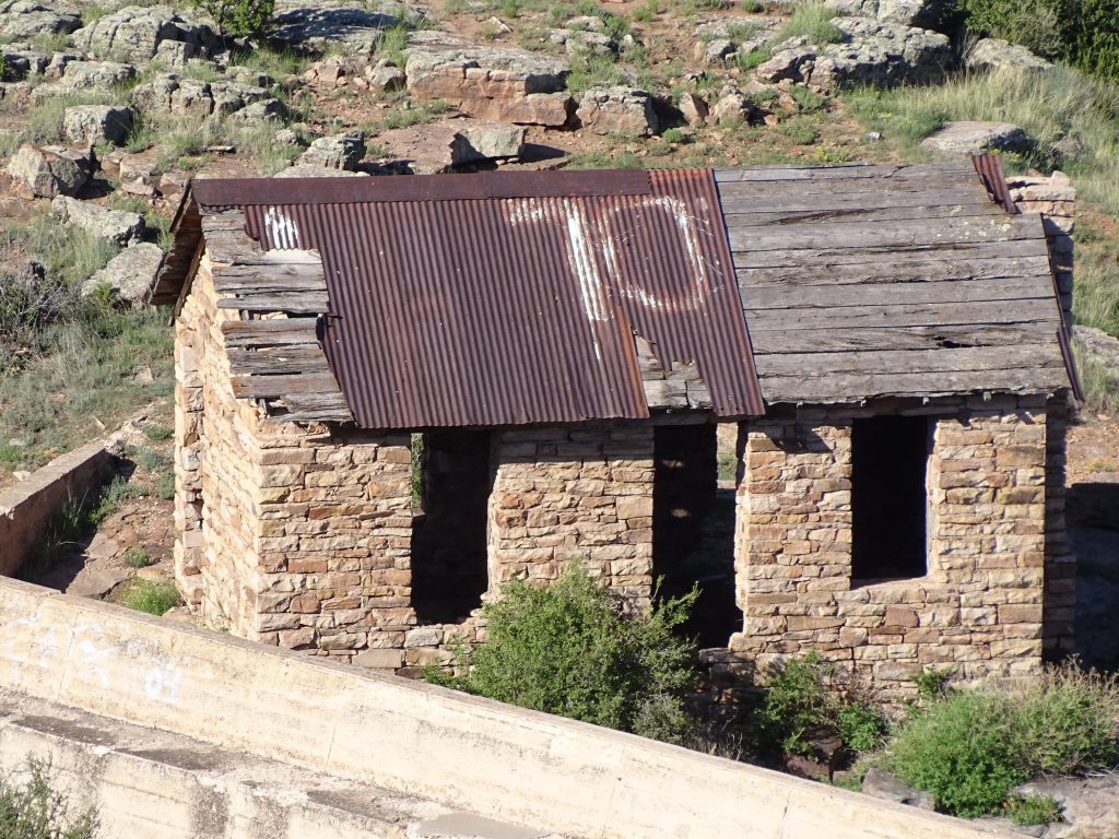
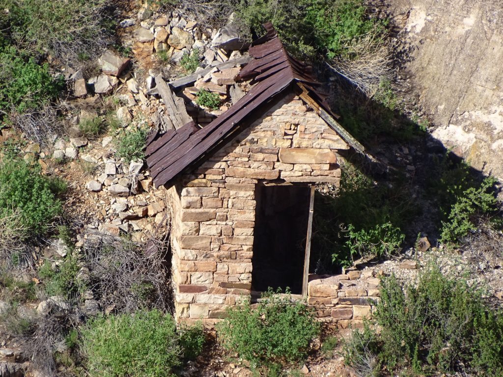
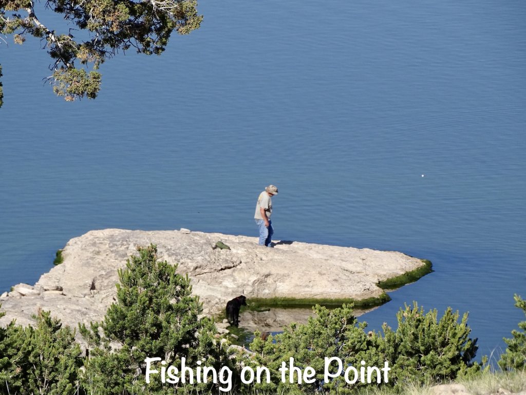
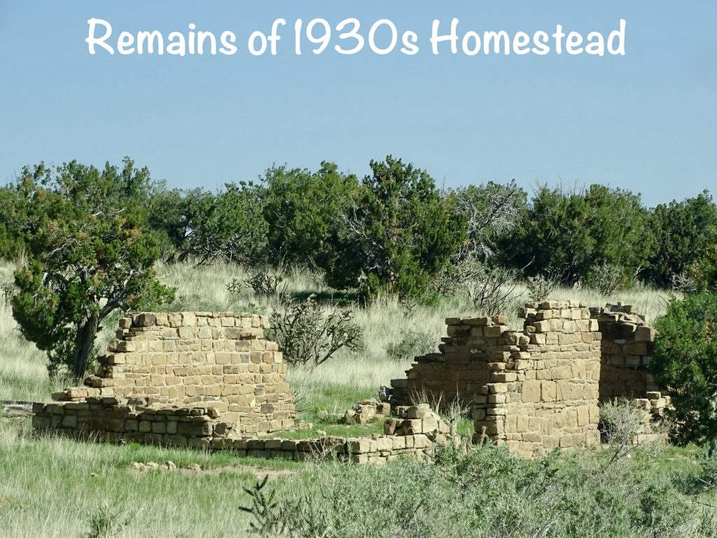
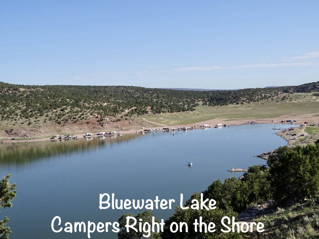
Saturday morning started with a nice walk around the park to get some steps in, take a look at the dam, and get some pics. Bluewater Lake is odd in that you really can’t see where the water is coming from, although MW read that it is fed by two creeks. The dam is not too big, and there just appears to be a stagnate pool below it. The last time water actually flowed over the dam was in 1941. There are two little buildings, one at the top and one part way down the back side of the dam that are in ruins. We couldn’t figure out when they were built: If before the dam, why weren’t they destroyed when they built it. The lower one, in particular, is situated in an odd place to have been built after the dam. Strange. Everything is very low right now, but there is no visible river/creek and nothing really flowing out. It is well-used, though for recreation, and you can camp right down at the beach on both sides.
Later we headed over to Thoreau to check out a restaurant, but it was take-out only. Our second option was an Indian place, but it, too, was closed. Finally we landed on Surf Shack Pizza in Grants, where we had sandwiches that were pretty good. (It also seemed to be the place for birthday parties in town. Several groups came in.) We found the post office on the way back to the park, and saw a few of the baskets along the old Route 66. After that, it was back to Petunia for some relaxing…and writing.
ODD NOTE: Last year when we were out west, we saw Roadrunners EVERYWHERE. I just opened a page to look up Bluewater Lake and there is one on their header that reminded me…we haven’t seen ANY this entire trip. Since the end of March, we’ve been in plenty of states in their territory…Texas, Arizona, Nevada, Utah, and now New Mexico, where it is the STATE BIRD. Last year we were here in a similar timeframe, too. Anybody else notice them missing?
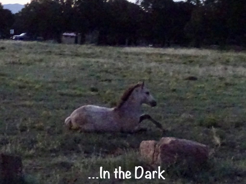
Sunday we headed out at 6 AM to earn another map flag, and we had a big surprise when we stepped out of the RV before leaving. The day before MW noticed horse poop in the field that Petunia is parked in. I thought maybe someone had camped here and staked out their horse. Not the case. There was an entire herd roaming around the campsites and in the field, including a couple of colts. Too cool!

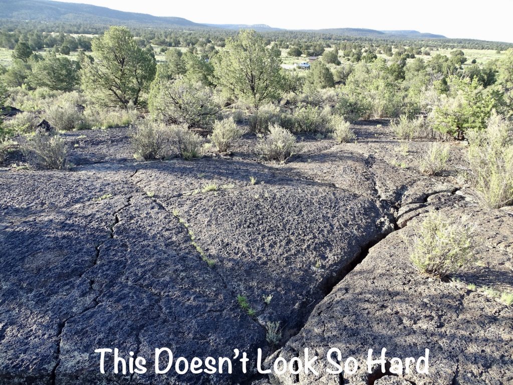
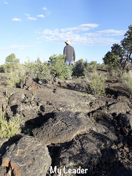
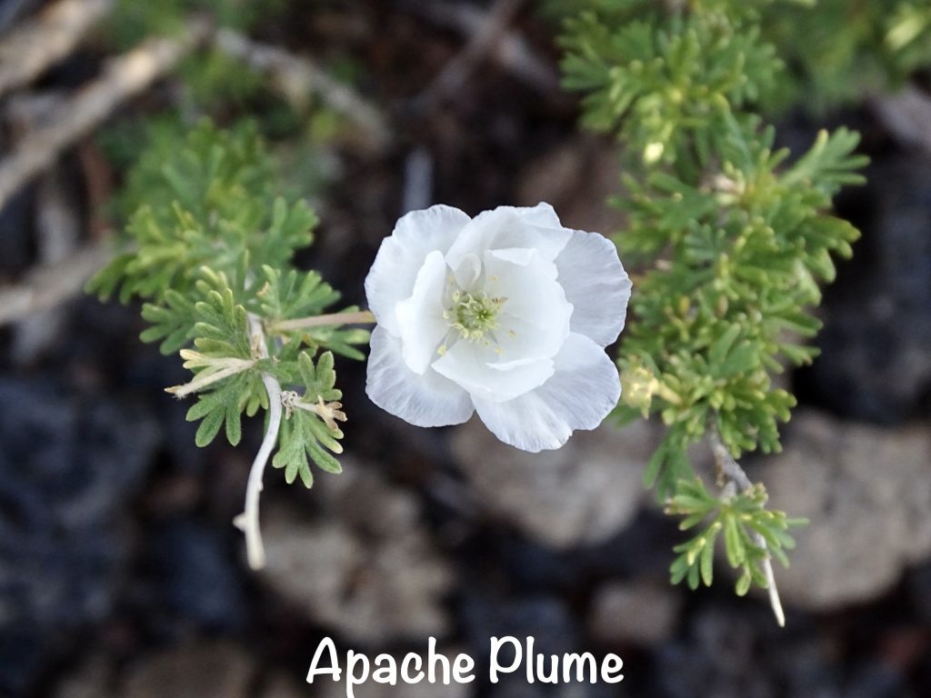
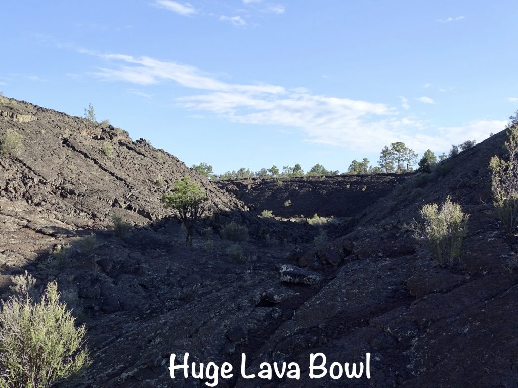
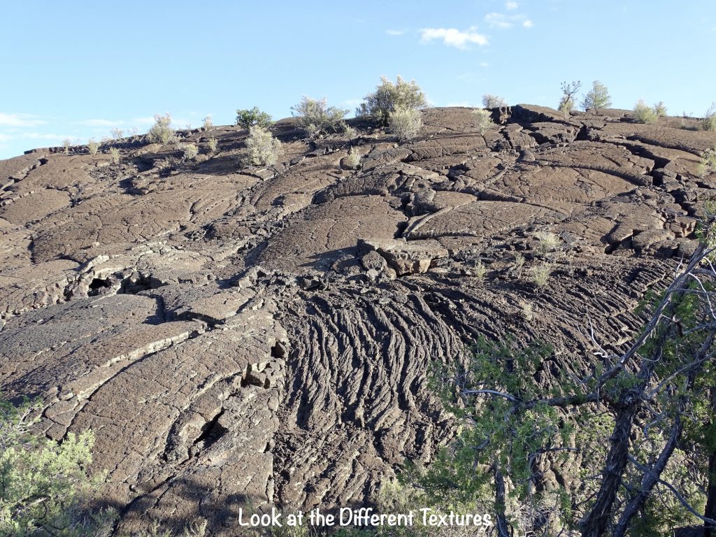
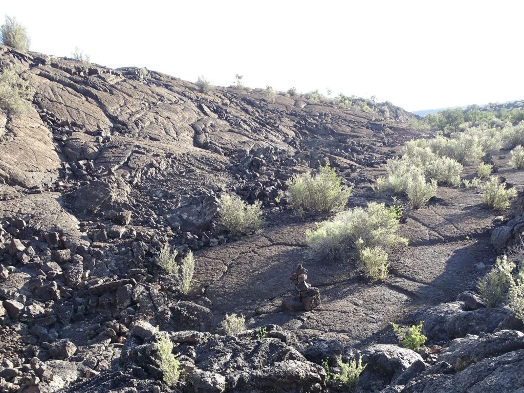
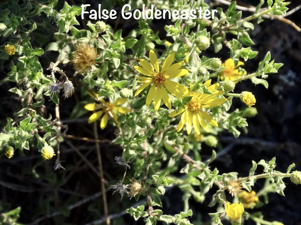
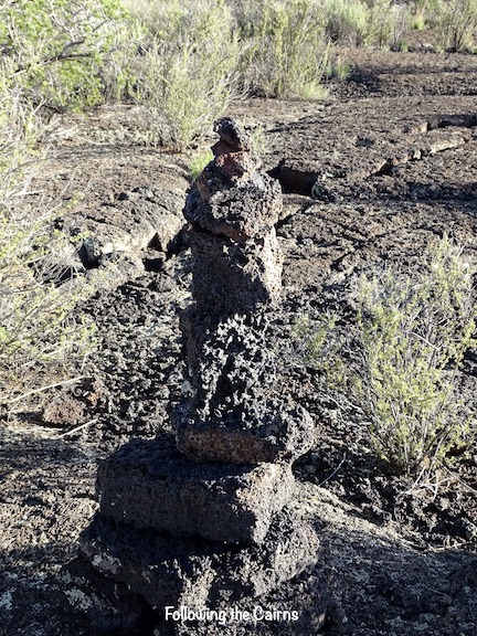
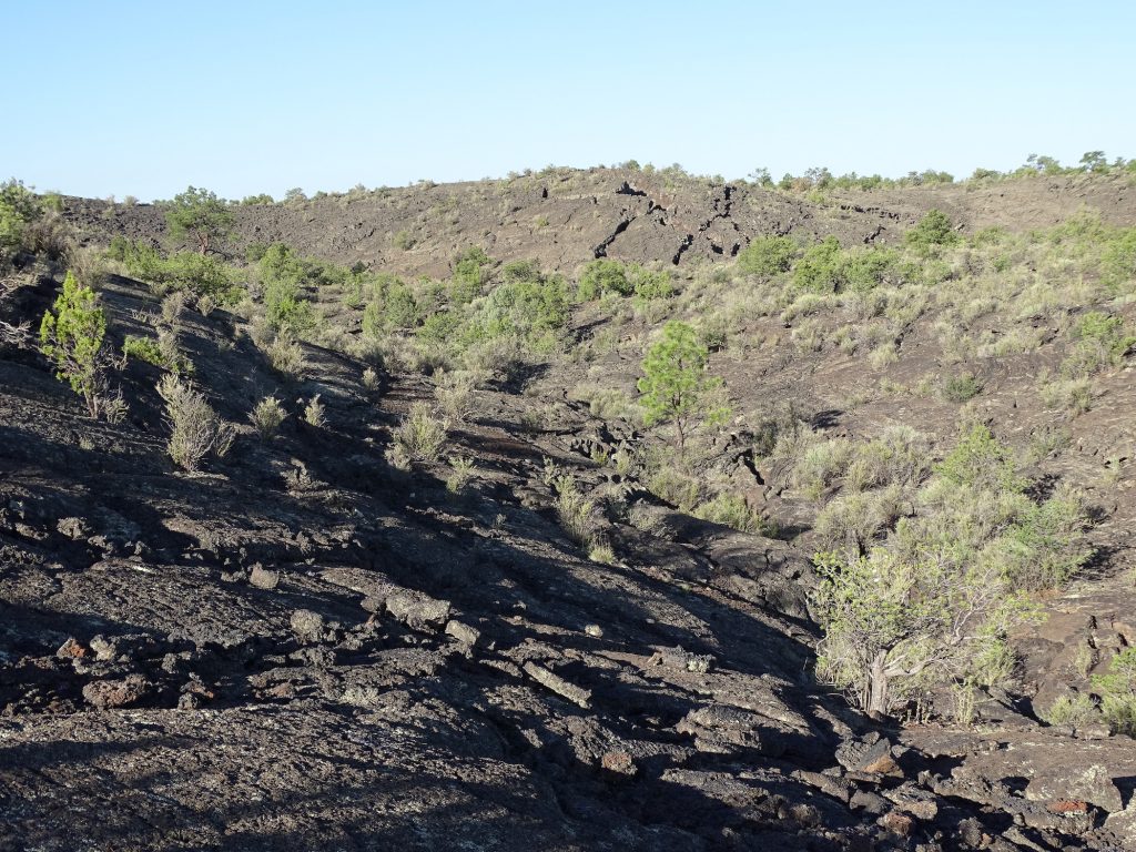
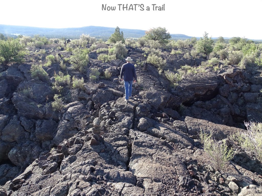
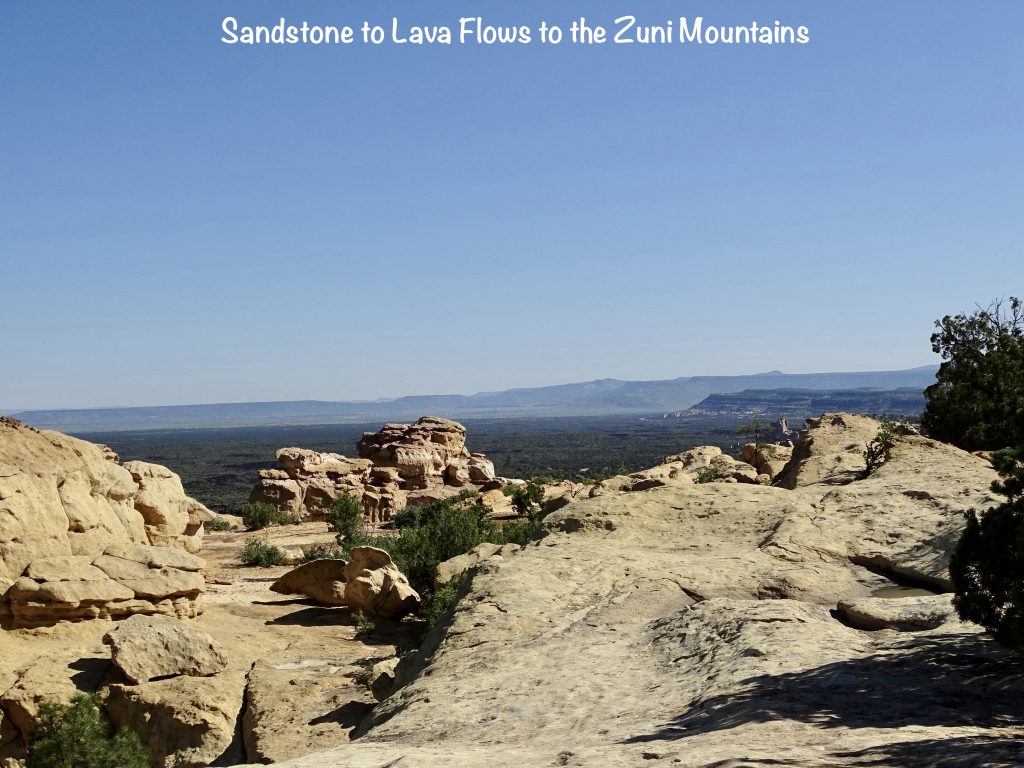
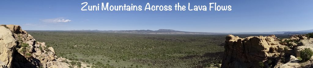
We headed east on I-40, then south on NM-117 to El Malpais National Monument. Spanish for “The Badlands”, this park was created by a series of volcanic events. It showcases the beautiful contrast between the sandstone bluffs and the lava flows. Both pāhoehoe (lava oozed over land, then cooled into smooth waves) and ‘a’ā (hot lava clashed with cooling lava and broke into jagged pieces) lava rock are on ample display. Most of the park’s 114,000 acres are unreachable by vehicle, but NM-117 takes you to several overlooks and trailheads. We drove to the southern tip of the park to check out the Lava Falls Trail. For a little over a mile, we followed the cairn path, climbing over lava flows and rock hills. VERY rugged and sometimes unstable, it was one of the most unique hikes we’ve ever been on. There were large crevices where the lava cooled as it flowed out and cracked. There were deep holes and a large bowl area where gas expanded under the lava causing it to rise, then escaped. The result looked like a soufflé that sank. I was amazed at the variety of plants growing in the desolate area. This is definitely not a trail for younger children. Falling down on the coarse lava rocks would result in some skin removal, and there are deep cracks wide enough for even an adult to fall into. Oh, and then there are the bombs. The military used some of the land that is now part of the national monument as a bombing range in the early 1940s. Both live and practice bombs were dropped as part of training, which stopped in 1944. Several removal operations were done, but we all know that there are always a few Easter eggs that never get found. The park is covered up with signs telling you to watch for unexploded munitions. So, should you be hiking there and see one: 1) Take a picture! That just doesn’t happen every day. 2) Carry it back (it will be a good workout) and toss it in your trunk or truck bed. 3) Drive it to the nearest park headquarters office. The bumpy roads should be fine…honest. Okay, okay, that’s NOT what they want you to do, but can you imagine the look on the Park Ranger’s face if you drive up with a WWII bomb in your truck??? What they actually say is back away carefully. (I guess the vibrations of you walking might explode the thing that has been there for about 80 years.) After you are clear, call 911 and tell them exactly where it is in the lava field. (Don’t know that I’d be able to get specific. It all looks the same.) Honestly, my plan would make for a better story later.


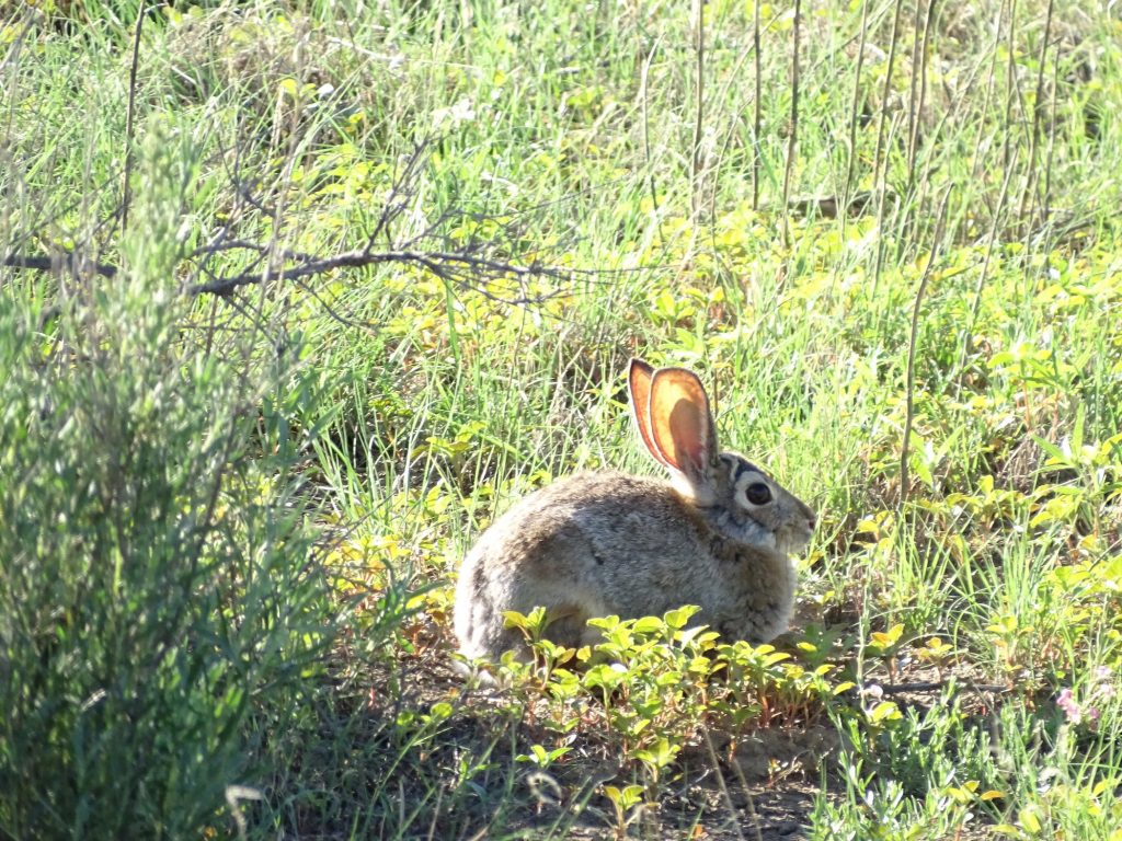

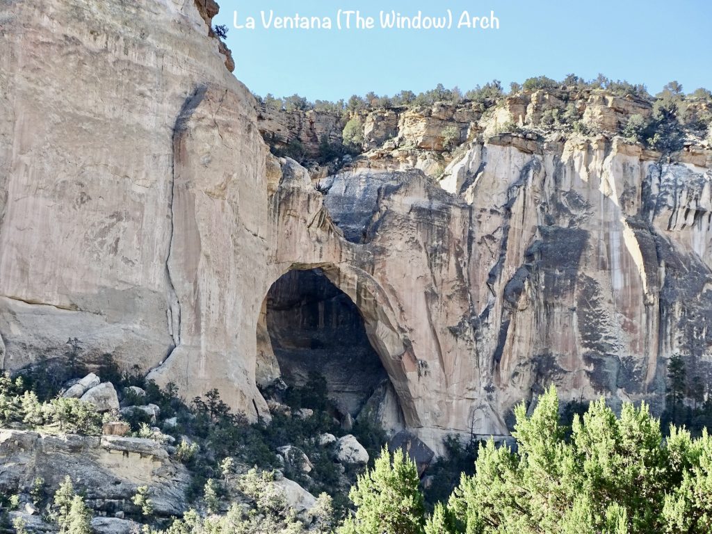
Next we headed back north to the Zuni-Acoma Trailhead, which is mostly a path through a field with some trees. There is a bit of lava, but not much, and no big flows. We walked for another 40 minutes or so, which was good for my step count. There was evidence of coyote, deer, and possibly an elk, but the only thing we saw all day was a couple of rabbits and a jackrabbit. Continuing north, we stopped at the Sandstone Bluffs Overlook, then headed over to the Visitor Center in Grants, New Mexico. Before heading back to the campground, we stopped in at Smith’s grocery store, then took the old Route 66 northeast up the the Bluewater Outpost for fuel and lunch at DQ. Then it was back to Petunia for a relaxing afternoon.
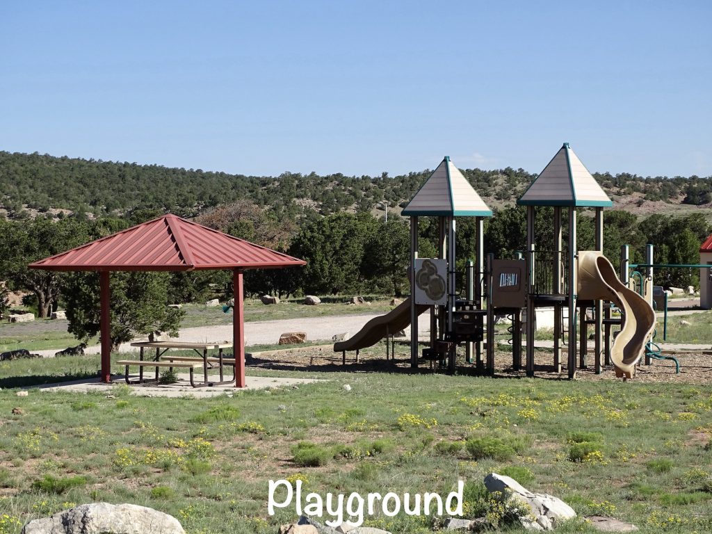
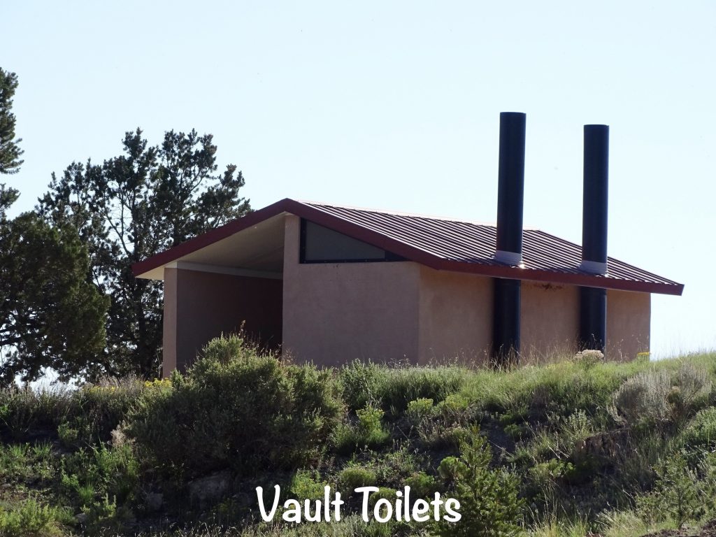
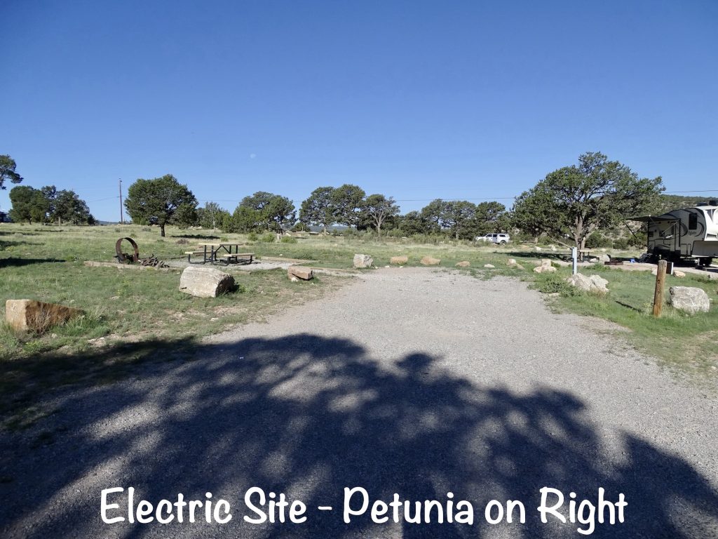
Bluewater Lake State Park is located in the Zuni Mountains about 25 minutes from Milan and Grants, New Mexico, where a few restaurants and activities can be found. The small lake is stocked with tiger muskie, trout, and catfish and is popular for boating and fishing, including ice fishing in winter. Amenities include limited hiking trails, picnic tables, picnic pavilions, a beach, boat ramp and dock, and playground. Camping options include a group camp area, primitive areas for beach or boat-in camping, 135 developed sites, and 14 30-amp electric sites. Water is available in the campground, but not at sites. There are several vault toilets throughout the area and one bathhouse located in the Visitor Center. The bathhouse was nice, clean, and air conditioned, but was not unlocked until 7:00 AM. That put a damper on MW’s 5:30 AM shower routine, but I let him use the she-shower to keep him from getting grumpy. Sites are well-spaced and fairly level. Cell signals were okay for Verizon and AT&T, but over-the-air tv options were limited. As noted above, there are occasionally horses wandering around, which I though was neat. There was no traffic noise, but the day use area is well-used on weekends. The park’s location also made it cooler than the surrounding towns, which was a definite plus when we were there. We would stay again. For this stay in July 2022, we paid $68.00 for 4 nights.
That’s it for now. Next up…more New Mexico. See you on the path!!
Talisa
P. S. Thank you so much for reading! Use the buttons at the top right or bottom to be notified of new posts and please SHARE, SHARE, SHARE on social media!
Love your posts, not sure how you can write so much, but don’t stop!
Thank you, Bill. It does take quite a bit to keep up, but I enjoy writing. There are quite a few folks who travel with us through the blog, too.
enjoyed it. many thanks!
Thank you for reading!